Search Results for: Roman

Hawes Mosaics (Part 2)

7.2 miles | 11.6 km | 261 m Ascent | 8.5 Naismith miles | Kate Rowe
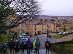
In January 2023, Bentham Footpath Group enjoyed a fine walk from Appersett exploring parts of the Hawes 2000 Mosaic project. We saw about half of the 22 mosaics on that day, and we finish the task with this equally fine walk.
Starting from Hawes town centre, we head up to Burtersett, take Shaws Lane to Gayle, then head up Sleddale to see Aysgill Force. We return along a Green Lane back toward Gayle, before taking a final detour along Bands Lane and then the Cam Road.
A (very) brief section on the B6255 brings us to a path back over fields into Hawes. This is a great walk with fine views, add in the mosaics, a roman road, an impressive waterfall, and all the delights of Hawes, and we have a recipe for a perfect day.

Hawes Mosaics (Part 2) Read More »

Scout Scar and Underbarrow

5.7 miles | 9.1 km |255 m Ascent | 6.9 Naismith miles | Alison Kinder & Colin Stroud
The area of the South Lakes between the Kent and Levens Estuaries provides a rich source of walks and is particularly favoured by The Bentham Footpath Group. This walk shows why: It’s relatively short and generally easy, but still manages to deliver spectacular views, well preserved industrial archaeology, a roman road, an ancient pele tower, sites of special scientific interest and ancient woodlands.

Scout Scar and Underbarrow Read More »

Lancaster: City and Country

6.6 miles | 10.6 km | 319 m Ascent | 8.2 Naismith miles | Susan Badley
Walking from a city centre is unusual for The Bentham Footpath Group. This interesting walk starts in Lancaster city centre and takes the Lancaster Canal South to the Fairfield Nature Reserve, where we loop round the “Fauna”, “Flora” and community orchard areas to arrive back at the canal.
We then head through Aldcliffe to the Lune estuary and the Lancashire Coastal Way, before returning via Freemans Woods to the city centre.
Good views of the Priory and Castle end this refreshing walk.

Lancaster: City and Country Read More »

Gargrave and Leeds to Liverpool Canal

7.4 miles | 12.0 km | 375 m Ascent | 9.3 Naismith miles | Kate Rowe
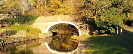
We start from Gargrave village where there is ample free parking and public toilets, as well as shops and refreshment opportunities, before crossing the River Aire to pick up the Pennine way.
This well trodden path takes us to the unusual double bridge at East Marton, where we turn round and return via the towing path of Britain’s longest canal.

Gargrave and Leeds to Liverpool Canal Read More »