Jump to . . .Step by Step | OS Map | Downloads | Gallery | Fly through
The area of the South Lakes between the Kent and Levens Estuaries provides a rich source of walks and is particularly favoured by The Bentham Footpath Group. This walk shows why: It’s relatively short and generally easy, but still manages to deliver spectacular views, well preserved industrial archaeology, a roman road, an ancient pele tower, sites of special scientific interest and ancient woodlands.
- Total distance 9.1 km (5.7 miles)
- Total ascent 255 m
- Easy walk
Step-by-Step
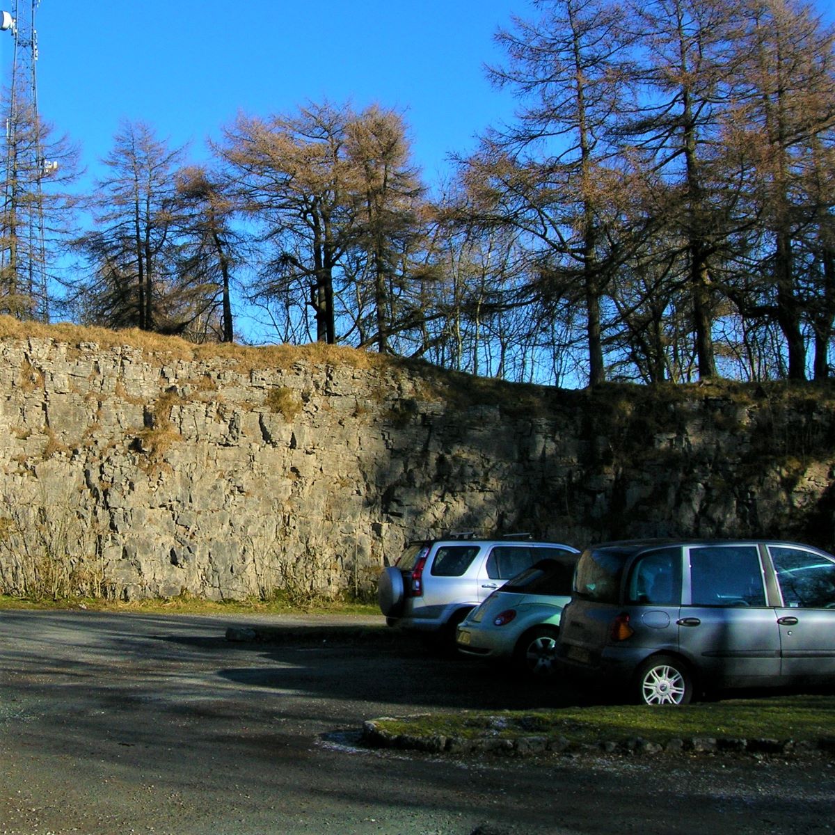
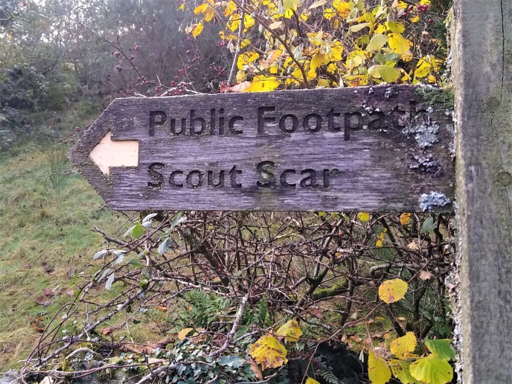
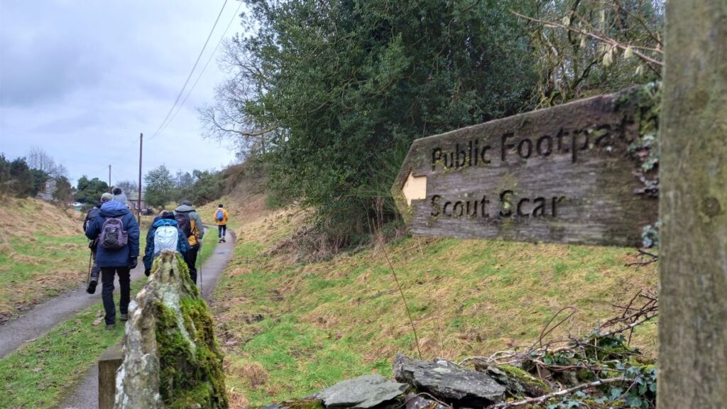
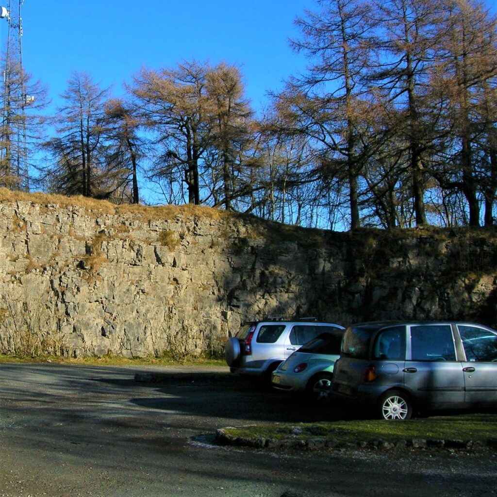
The walk starts from the free car park for Scout and Cunswick Scars. This is found within an old quarry, on the right hand side of the road about 1.5 miles out of Kendal on the Underbarrow road. If you are using what-3-words to get to the quarry, then the tag is clap.link.format. This corresponds to OS map reference SD 4885 9239. If satnav is being used, then use the address Underbarrow Road, LA8 8JS, and then look out for Gamblesmire Lane on the right. When you find that, continue for a short while using the communications mast at the top of the quarry as a landmark. The car park is on the right.
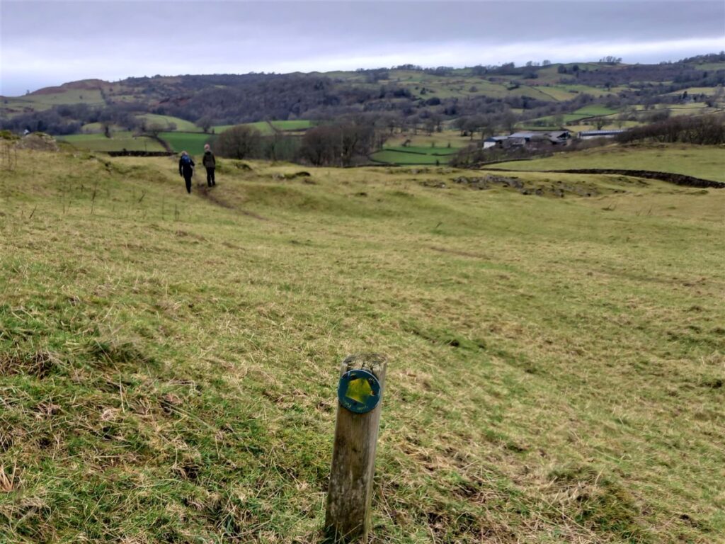
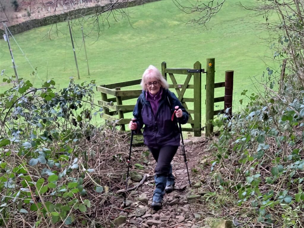
From the car park, we head out on a footpath toward Cunswick Scar – in effect this is the ridge of rock that the old quarry takes a bite out of, so the route is initially through the trees and back toward Kendal, for a very short distance before taking a sharp left to pick up the path to the scar.
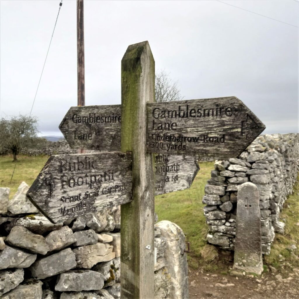
We head along a woodland path for a short while and then arrive at stile where we head right into a more open field – weather permitting we have views toward the Shap fells directly ahead of at this point. The path tracks North along the line of the drystone wall at first, with the wall on our left, but after a short while we strike out to the right – still following the field boundary – and head down to a small lane. This is Gamblesmire Lane that we noted earlier, and the woodland of Cunswick Scar is now directly behind us.
At Gamblesmire Lane, which despite the name is not a metalled road – just a muddy track, there are a number of paths which come together in a quite a small area – so we need to be careful. There are tempting paths ahead which track either side of the continuation of Cunswick scar. These are not for us today but are well worth remembering as they form a good route to Scar Wood, Cunswick Fell, and Cunswick Tarn, either as a separate walk or as an extended version of this one.
It is worth noting that Gamblesmire Lane is reputed to be a Roman road, part of a route from Kendal to Staveley. The veracity of the route has not been absolutely proven, but imaging using a technique know as LIDAR, in effect an optical version of RADAR, makes a very strong case.
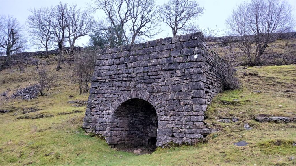
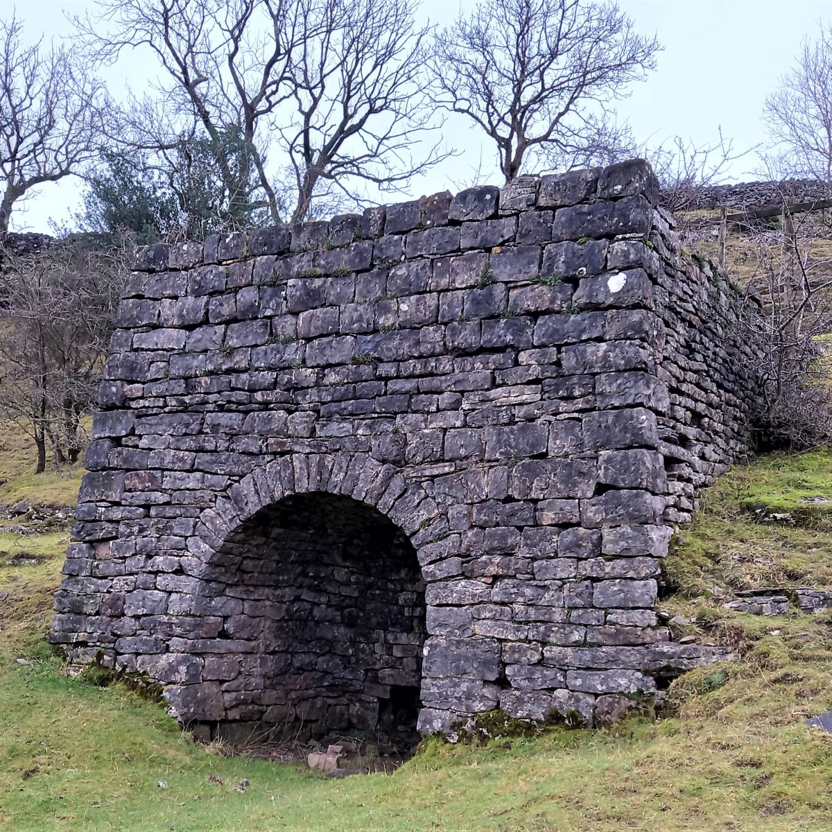
Our path goes sharp left at Gamblesmire Lane, heading in a North-westerly direction. The road bends to the right and then back to the left – and at this point, over on the right, we find a very well preserved Lime Kiln. The purpose of this, and indeed all lime kilns, is to burn locally quarried limestone rock and convert it into quicklime. Quicklime can be used for many purposes, but from a farm-based lime kiln such as the small one we see here it was primarily used to improve the fertility of the soil, though some may also have been used in construction as an ingredient in lime mortar.
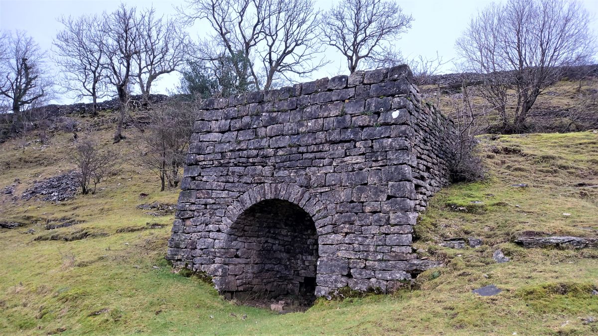
The burning process uses coal, which produces sulphurous fumes when the smoke reacts with the limestone, and so the location of lime kilns is always a balance between reducing transport burdens for the raw materials, and making the local area uninhabitable when the kiln was fired.
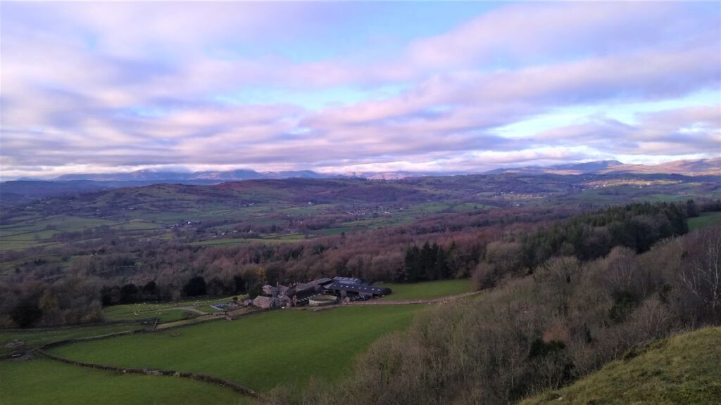
We carry on past the lime kiln and the lane turns gently to the left hugging the edge of the woodland. We follow it round and soon see the buildings of Cunswick Hall over to the right.
The site now looks much like any other farm in the area, but written records, and limited archaeological traces show that a pele tower, gatehouse and walled courtyard, existed here until 1582, when they were demolished to make way for a more comfortable and larger hall. This 16th century building has also been demolished, to make way for the more modern structures seen today.
The original hall, tower, courtyard and gatehouse were built by the de Leybourne family, and would have been the seat of the family, and the Leybournes were known to be living here up until 1715, when the hall and the Leybourne estates passed to the crown as forfeiture for their backing of the Jacobite rising. The estates then became the property of Thomas Crowle in 1721, before finally falling into the vast Lowther estates thereafter.

Gamblesmire lane takes a sharp right turn to head over to the hall, but our path continues onward, heading west toward the corner of the woodland which we now see ahead of us.
We follow the path through the woodland, and soon come across a minor road with the footpath continuing on the far side. The road we cross has the delightfully odd name of Cold Harbour Lane, soon becoming Bonfire Hall Lane.
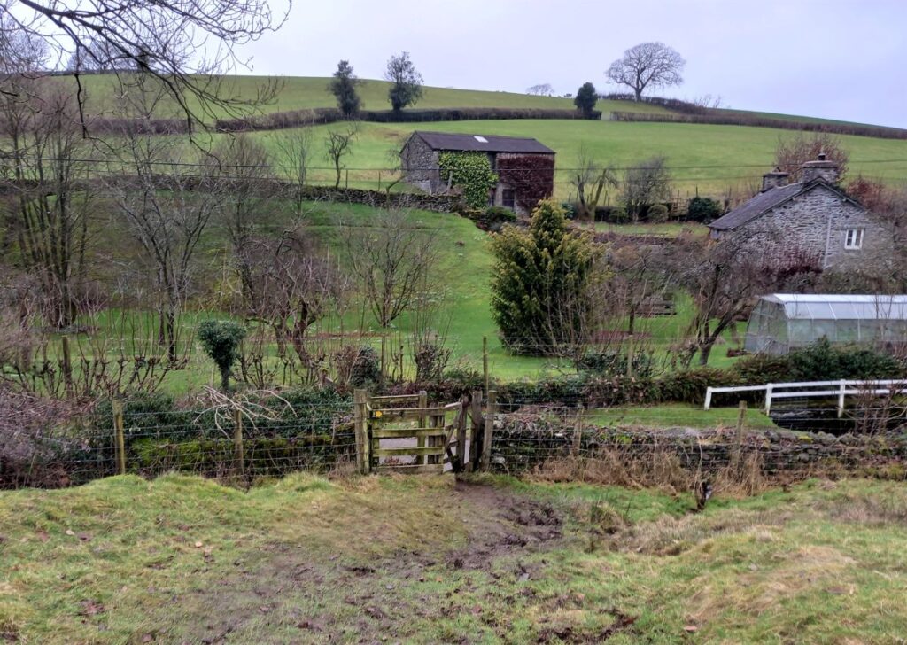
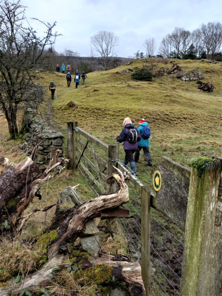
Walking past rocky outcrops we weave our way through fields down to a kissing gate, which gives us access onto the driveway for Tranthwaite Hall – which like Cunswick Hall was once more significant than is now the case.
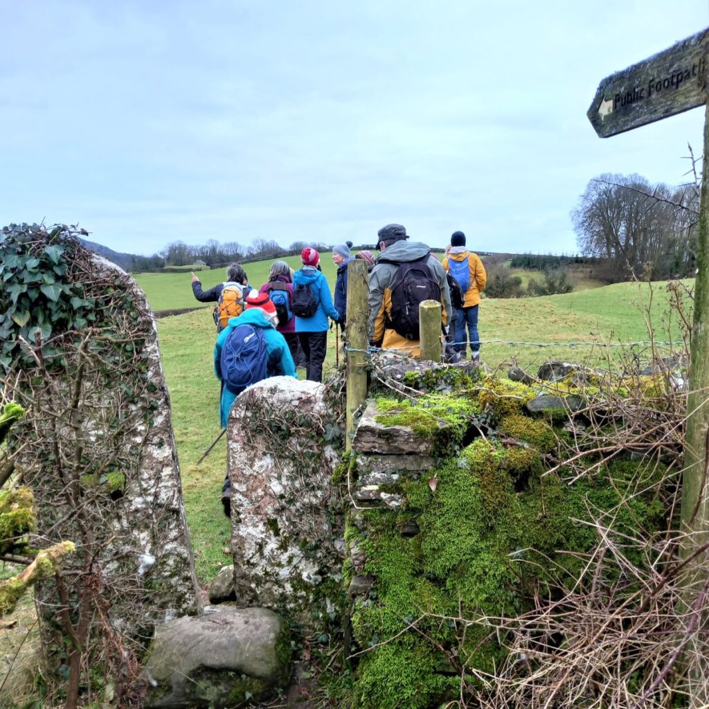
Here we turn left and walk south down the lane for a little while, until we get to a T-junction where we meet Thorns Lane. Directly opposite is a byway which takes us to the Brigsteer/Underbarrow road. We follow this for a short while, but soon leave the road at another kissing gate to enter a field.
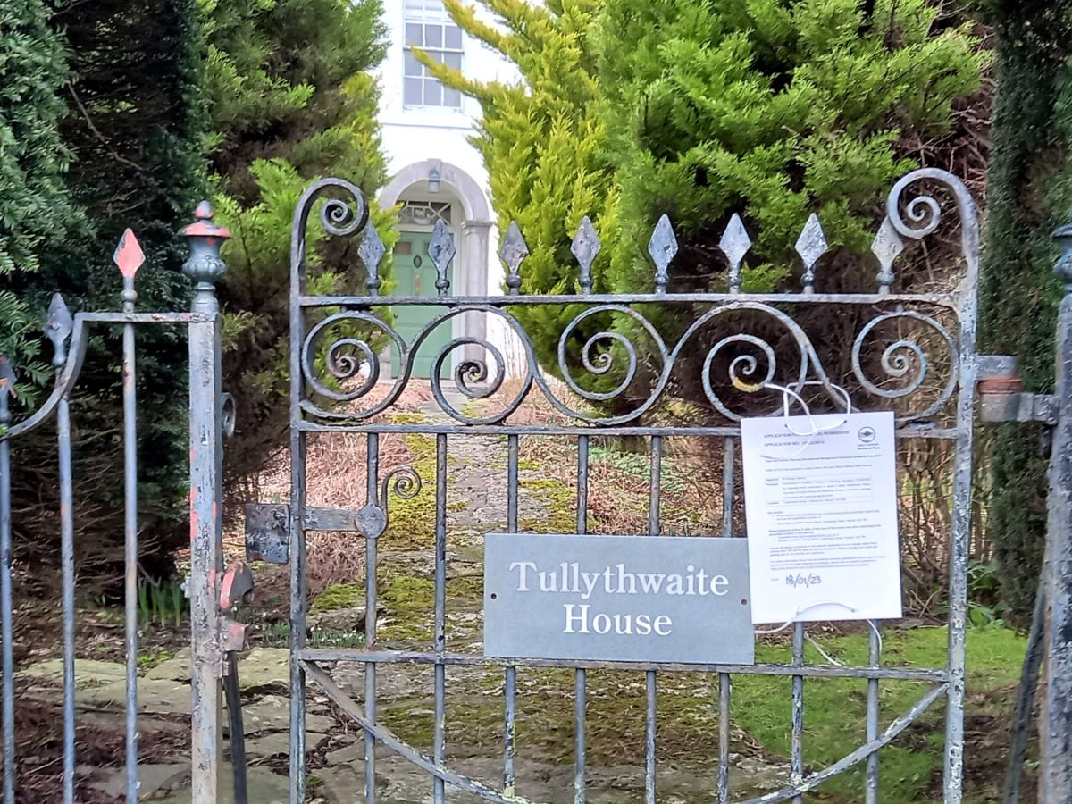
We walk up the field then turn right through a gate onto a path which takes us past gardens and onto a minor lane where we turn left. We walk past Tullythwaite House and continue along the minor road until we turn right through a stone squeeze stile back into the fields. Using a stone step stile, we access & cross a stone bridge over Tanyard Beck – perhaps strolling downstream a short distance to view some minor waterfalls – before continuing over to another stone stile into another field which we cross diagonally aiming for the far left hand corner gaining access to Garth Row Lane.
We turn left at the lane, but almost immediately pick up a footpath/driveway on the right. This takes us past a house and onto a track which we follow for a short distance until we pass a gate with a signpost for the footpath on the left.
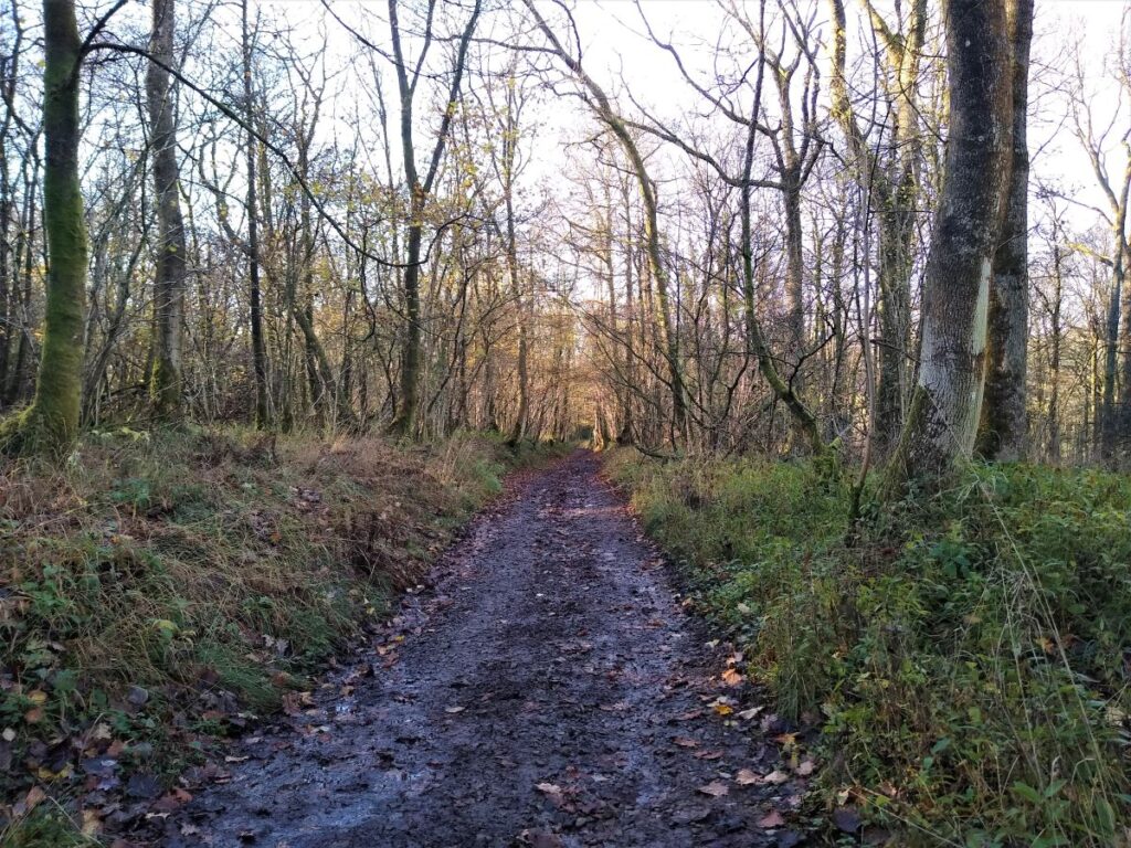
The path goes uphill, initially following a wall before heading east to another gate where we enter the woodland of Barrowfield Lot, part of the wider Barrowfield Forest, a 140 hectare holding managed by the Forestry Commission. The site was acquired in 1964 under a leasehold agreement with the Bagot family, and comprises three distinct woodland areas known as Barrowfield Wood, Honeybee Wood and Barrowfield Lot.
The forest is currently assessed as containing 23% commercial conifers and 77% broadleaf trees, open ground or yew. In 2004, the respective figures were 32% and 68% respectively and the changes reflect the drive for native woodland restoration that is part of the long term plan for the area.
Recreational use of the forest includes the use of public rights of way and the forest roads by walkers, a small-scale pheasant shoot in Barrowfield and Honeybee Woods, and occasional orienteering events. Barrowfield contains several areas of SSSI (Sites of Special Scientific Interest) as well as a designated PAWS (Planted Ancient Woodland Sites).
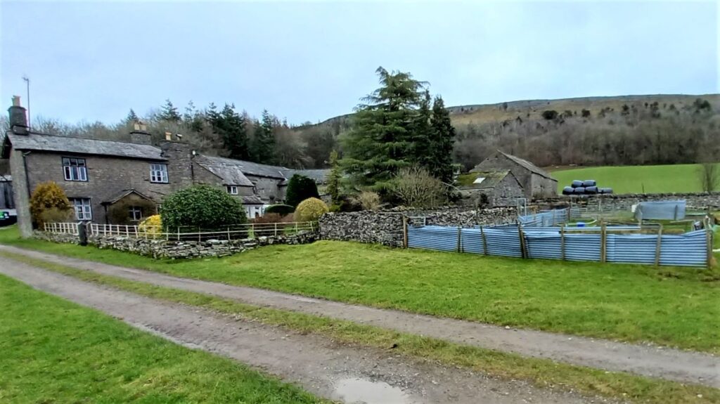
Our path soon meets a forestry road, where we head right for a short while before taking a steepish path on the left which leads us to another stone stile. From here we cross a large field – effectively an elongated clearing in the forest, and across the field we re-enter the forested area to follow the path uphill to reach Barrowfield Farm, which nestles beneath Scout Scar.
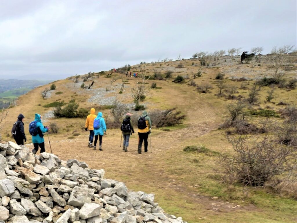
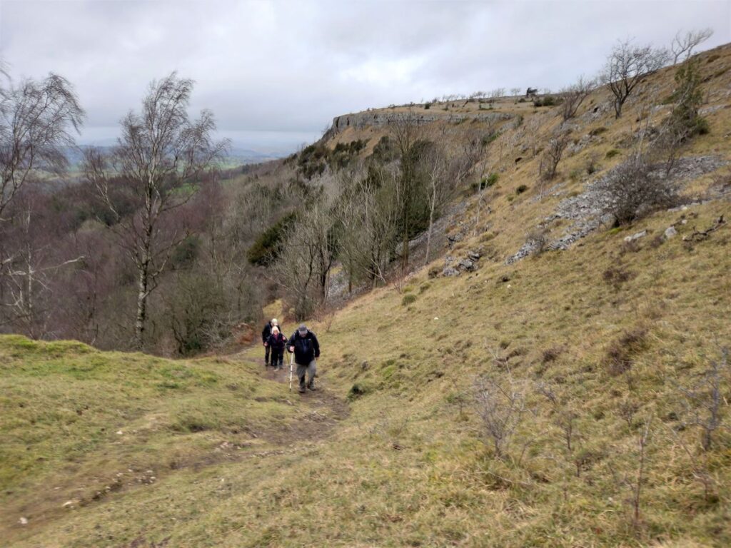
In front of the farm is a track, which we cross to follow the footpath signs up a field, with a concrete track for farm vehicles. This leads to a gate which gives us access to a winding path through gorse and scrubby woodland up to the top of Scout Scar.
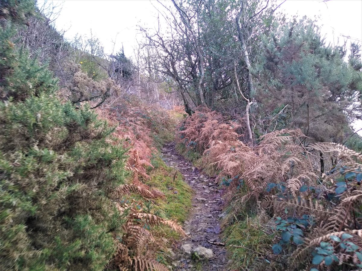
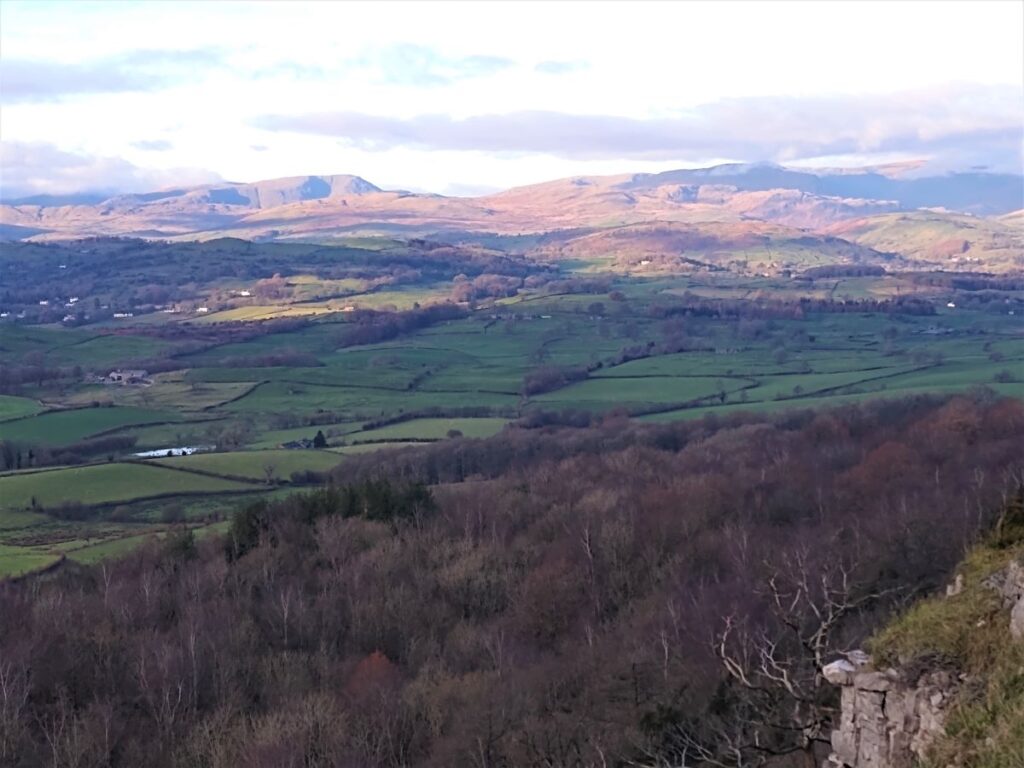
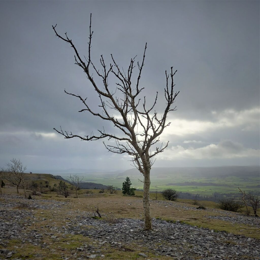
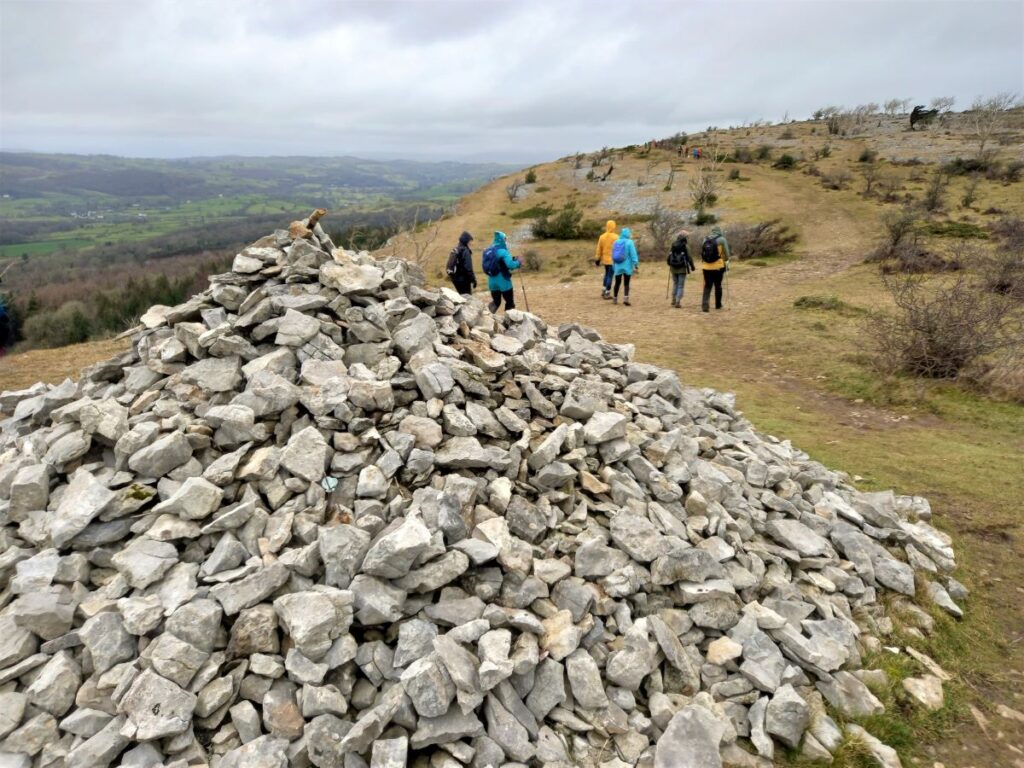
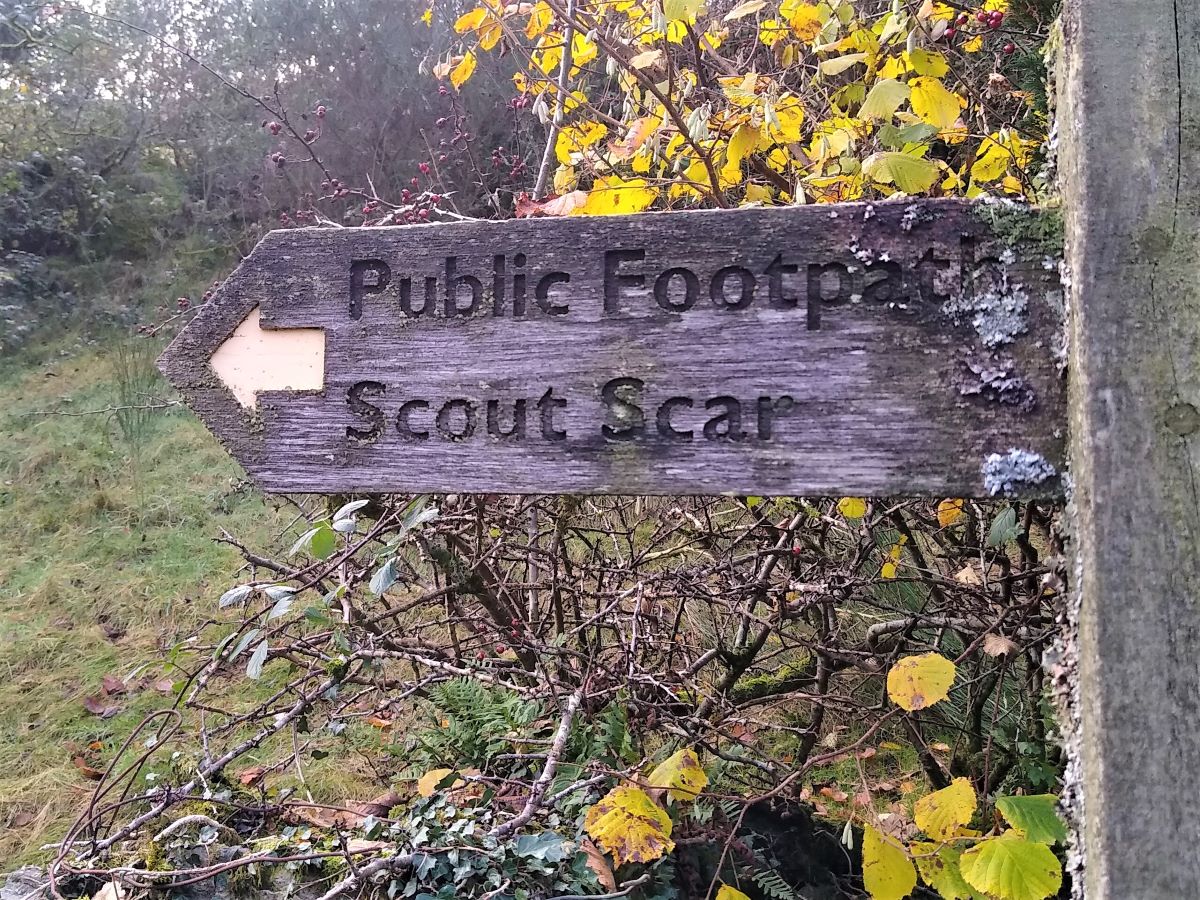
The path upward is steep, so we use admiring the views (which weather permitting can be spectacular) as an excuse for a brief rest, before we turn left at the top of Scout Scar to take any of the many paths along the top, taking care not to get too close to the edge.
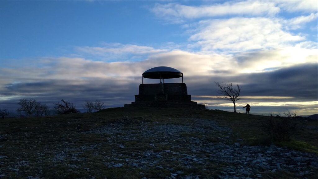
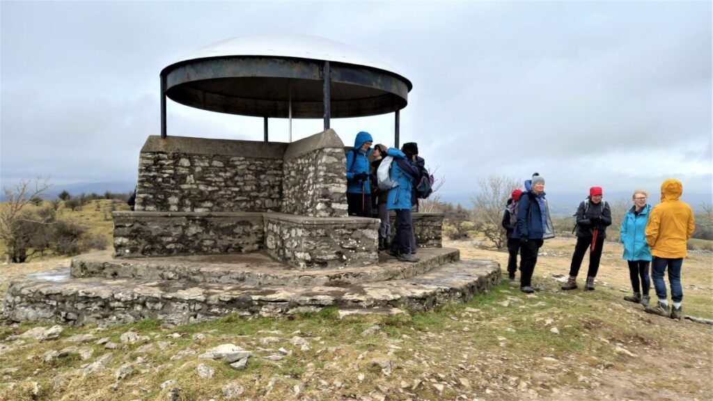
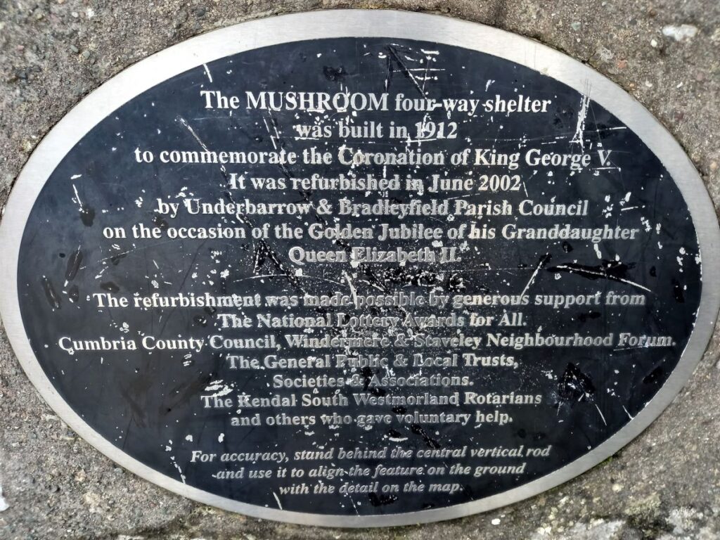
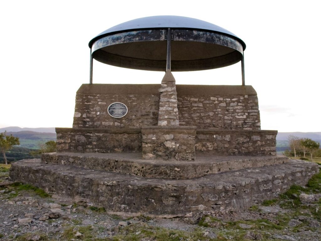
An easy & short diversion takes us to the ‘mushroom’ shelter. This was built in 1912 as a memorial to King George V, and restored, first in 1969, and then again in 2003. The structure includes a toposcope indicating the Central Lakeland Fells and other landmarks.
From there it is an easy walk along the Scar to the footpath leading down to the Underbarrow road & back to the car park – again using the communication tower as a landmark.

- Total distance 9.1 km (5.7 miles)
- Total ascent 255 m
- Easy walk