Canal based walks always tend to be flatish, and this easy walk is no exception.
We start from Gargrave village where there is ample free parking and public toilets, as well as shops and refreshment opportunities, before crossing the River Aire to pick up the Pennine way.
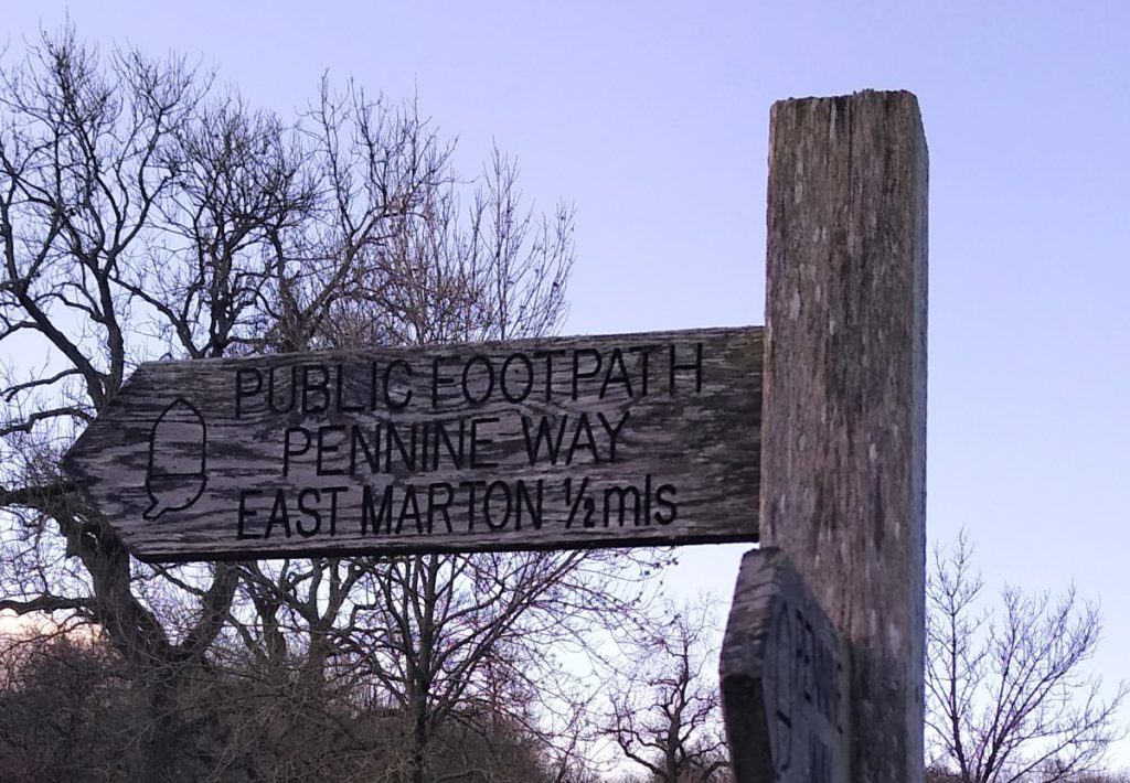
This well trodden path takes us to the unusual double bridge at East Marton, where we turn round and return via the towing path of Britain’s longest canal.
We pass several locks, and given that this section of the canal is heavily used by leisure boats may well see boats in-transit.
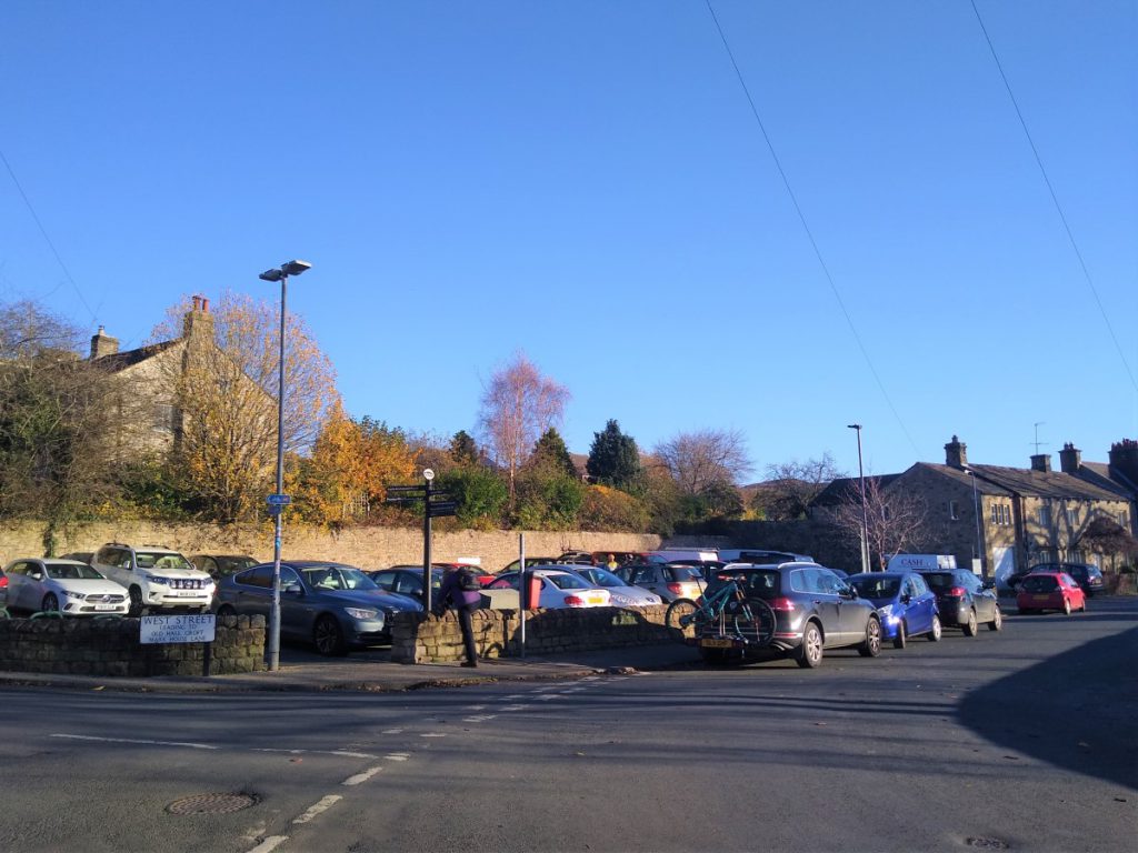
Our walk starts in the centre of Gargrave where there are two free public cars parks. They are well signposted from the A65, or if you are using SatNav, entering West Street, Gargrave as the adress will find them.
From the car park, we head back down to the A65, and cross to the river side of the main road. Public toilets are available here, and it is worth noting the shops and refreshments opportunities that Gargrave provides.
Notice too, the “Summer Seat” – the enclosed shelter with a semi-circular seat that has long been used as an informal meeting place, and where there is an information board giving details of the Roman crossing of the Aire and the nearby Kirk Sink villa.
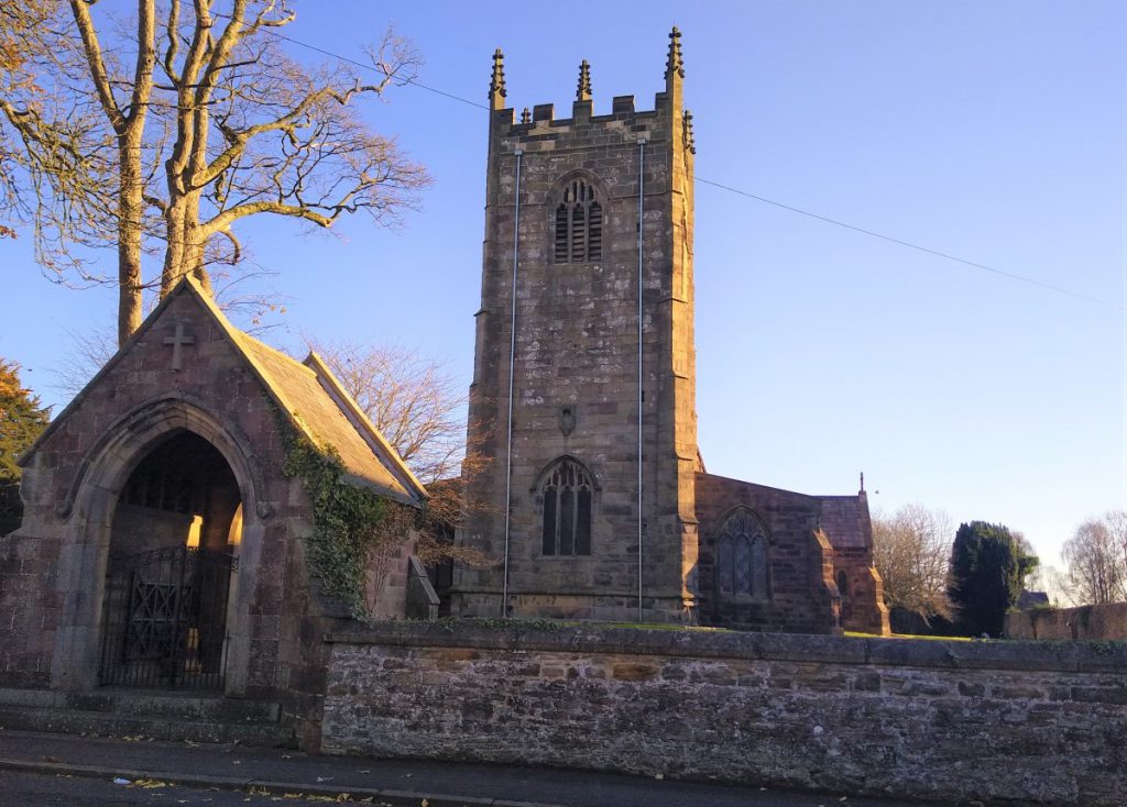
We cross the road bridge over the River Aire, in the direction of Gargrave station and Broughton, and walk through the quieter half of the village past the church of St Andrews.
We carry on past the church and keep a look out for the fingerpost indicating the Pennine Way on the right. Here we walk through a car park, and over a stile to pick up this familiar long distance route.
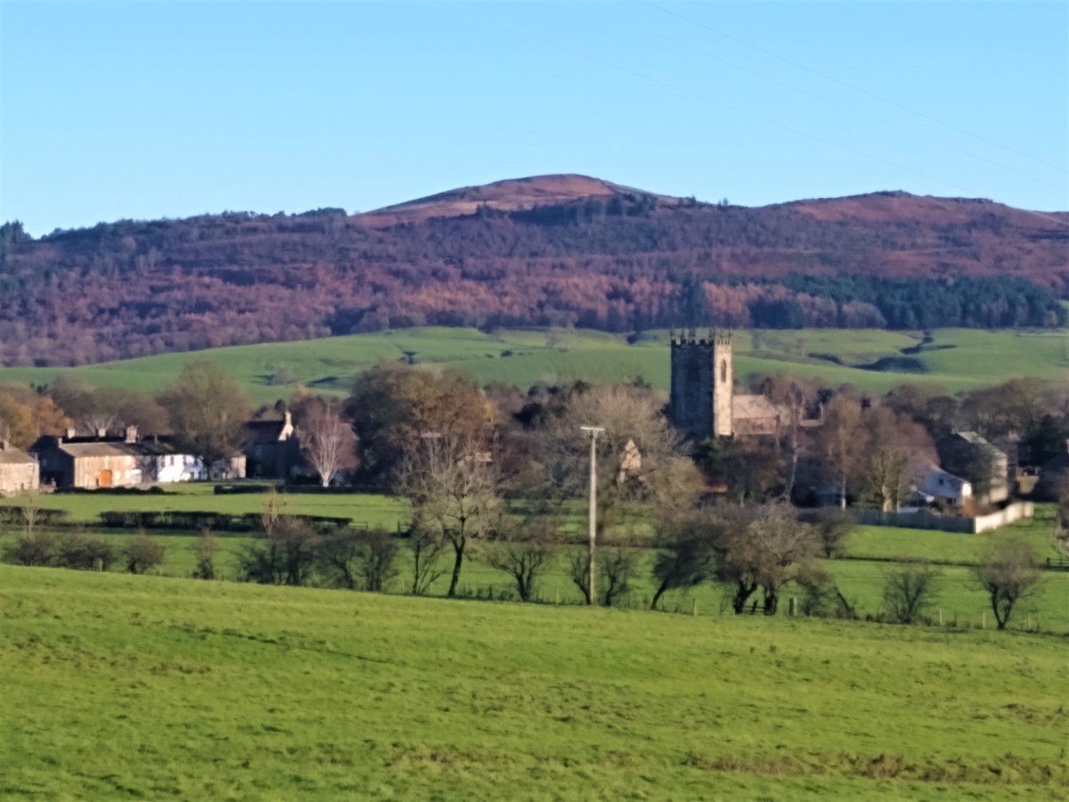
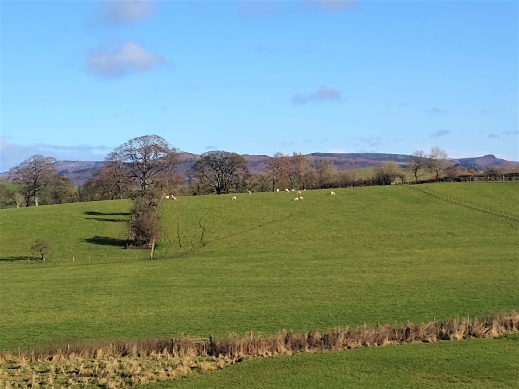
We now climb gently, and it is worth pausing every now and again to see the view back toward Gargrave with the familiar backdrop of the Dales.
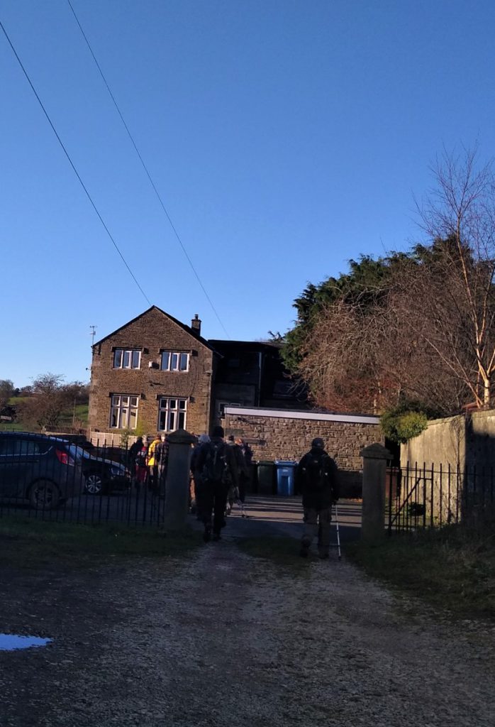
The path is clearly visible at all times, passing through gates at wall boundaries before we arrive at a stile onto a small road / track. This serves Scaleber farm only so traffic is not a problem.
At the road we turn left and follow the road until it turns right, at which point, we take the path on the left hand side of the road, and our direction remains much as before at SSW. Our path is still The Pennine Way, so it navigation shoud not be a problem – the path is well used and always clear, with good signage.
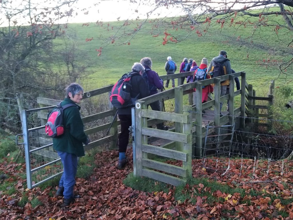
We pass three more field boundaries to arrive at a small bridge crossing a beck at New Laithe. From here we carry on to skirt a small area of woodland (on our right) before start to climb gently to arrive at a stile into a field with horses.
The animals are quite used to walkers and present no problem – though as ever dogs need to be thoughtfully managed.
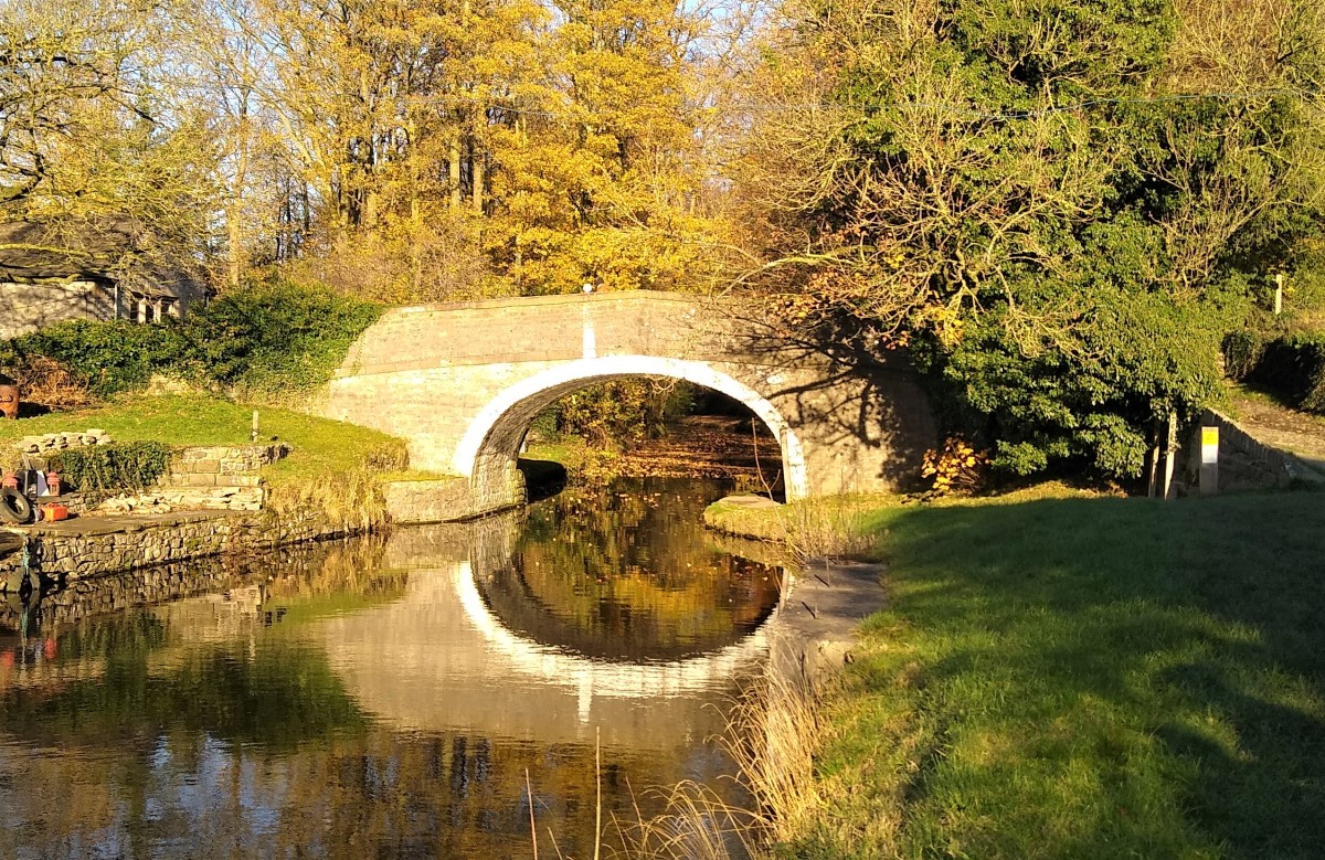
We exit this field onto a small road turning left, and walking downhill until we find ourselves at a bridge over the Leeds to Liverpool Canal. This is known as Williamson Bridge.
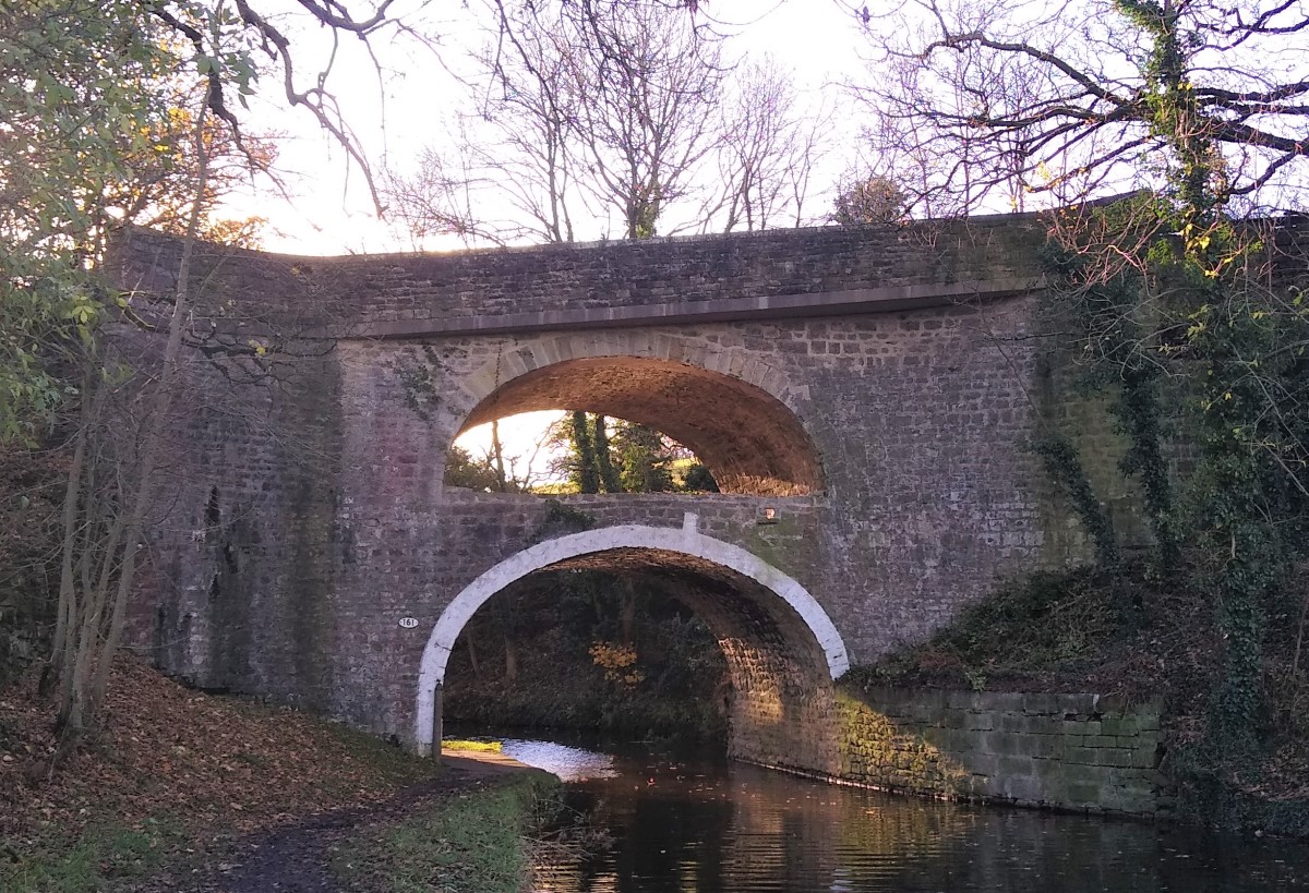
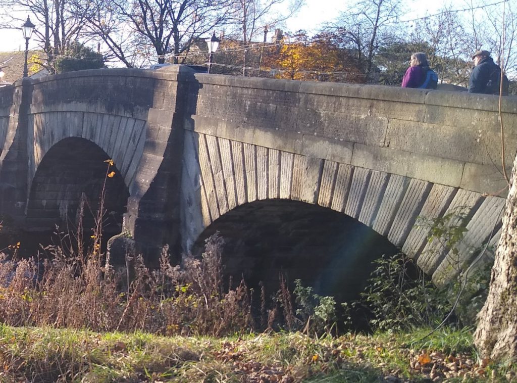
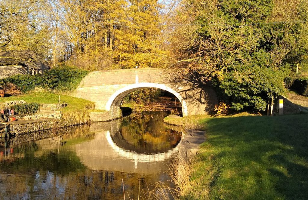
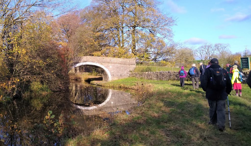
Our route back to Gargrave would have us turning right at the towpath, but rather than doing this immediately we turn left and walk just a couple of hundred metres to the unusual double arched bridge at East Marton. This is one of just two such bridges on the UK canal network.
East Marton bridge started life as a simple packhorse bridge over the canal, and as such dates back to around 1793 Interestingly, the canal was not built from either end in one direction as we might have expected, instead it was sub-contracted to builders in more manageable packages with the section at East Marton being one of the earlier ones. At this stage, only the lower arch would have been present.
As the road over the canal became more important (largely because of the increased trade that the canal enabled), the steep approach became a problem, and a second arch was added to carry the road at a more manageable level, and at a gentler angle – this is actually more obvious from the far side of the bridge where the change in road direction is apparent as a projecting ledge.
Not on our route, but worth noting to explore another time, is the churchyard at East Marton – this contains many graves of canal construction workers (i.e. “Navvies”) who died of smallpox during the construction phase.
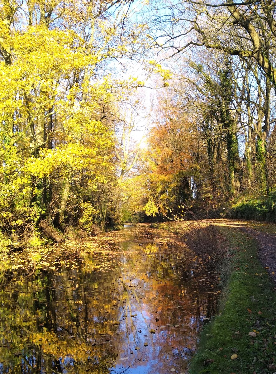
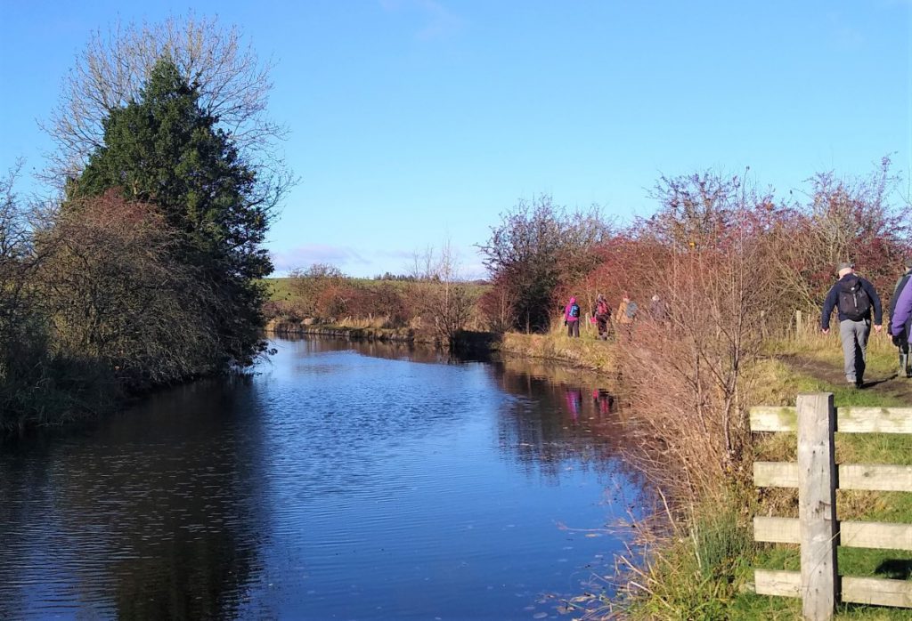
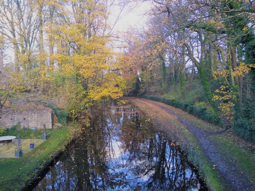
We now turn round and head back toward the Williamson bridge and pass under to take the towing path all the way back to Gargrave.
As such Navigation is trivial – if there is not a canal next to you, then you have gone the wrong way.
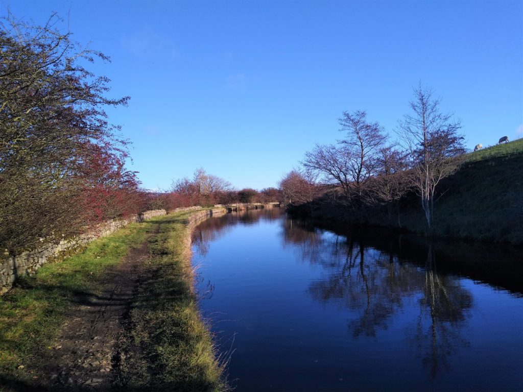
That does not mean that the route is boring though. There are excellent views over the fells, and the canal itself is interesting. This is one of the first sections to be built (it was in place some 20 years before the full length of the navigation opened), and as such it follows the construction methods typical of early canals, where the time penalty for users of following contours was seen as more favourable than the cost implications of using locks to give straighter lines as became the norm later. For this reason, the canal doubles back on itself twice in the time that we walk it making the distance walked a good deal longer than the “as the crow flies” route.
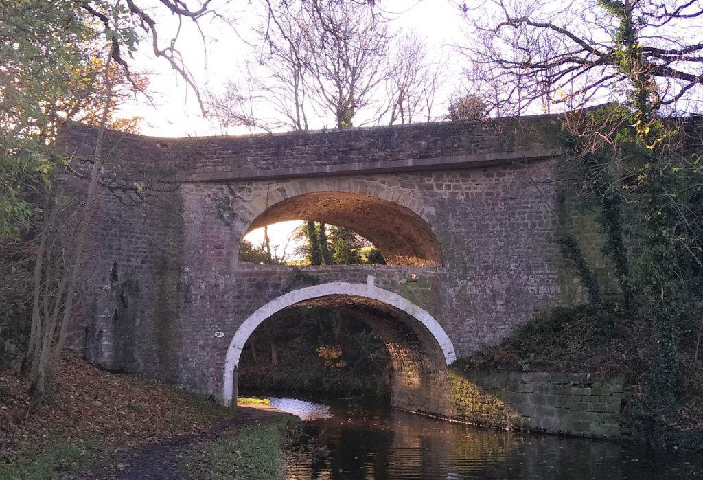
Initially we walk with the towing path on the right of the canal, but when we reach Bank Newton, we see an interesting piece of canal architecture – a turnover bridge. These were designed to allow the horse towing the boat to cross from one side of the canal to the other without unhitching. This was necessary where the towpath changed sides – usually because local landowners refused permission for pedestrian access to their land. Depending on local dialect turning bridges are also known as roving bridges, change line bridges, or snake bridges.
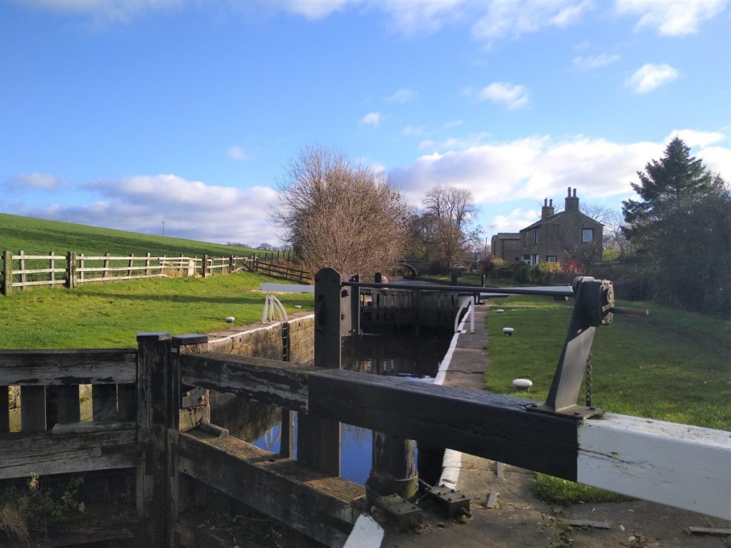
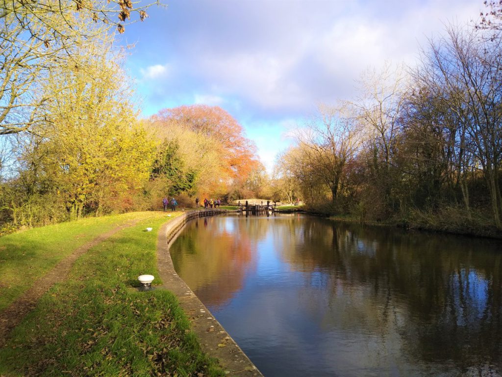
We now walk with the canal on our right to arrive at the first of five sequential locks. Each of these is a double width lock – the design standard for the Leeds to Liverpool canal, and as such passage of two narrowboats simultaneously, or one wide beam boat is possible. This design was based on learnings from the earlier canals in the Midlands where capacity became an issue, often requiring locks to be duplicated.
Also worth noting are typical lock-keepers’ cottages – these are no longer used by lock keepers, and even when the canal was used for trade, the role of the keeper was more focussed on collecting fees for use rather than assisting with passage.
Soon after the locks we approach Priest Holme Bridge, another turnover bridge where the towpath again crosses so that for the rest of the walk, the canal is on our left again.
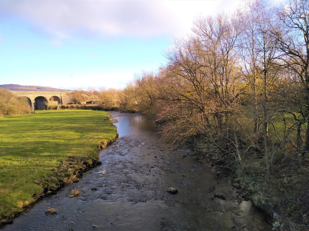
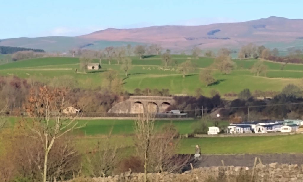
From the bridge, we see that the canal crosses the River Aire on a stone aqueduct, with the Railway line ahead of us. This one view therefore gives us four modes of transport in one scene.
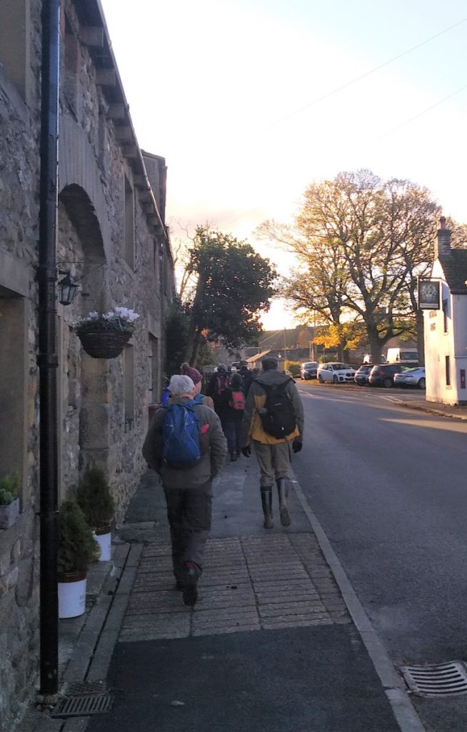
The walk continues down the towing path and we soon pass under the A65 and pass a new housing development before arriving back in Gargrave, where we turn right down the road and soon see the car park where we started.