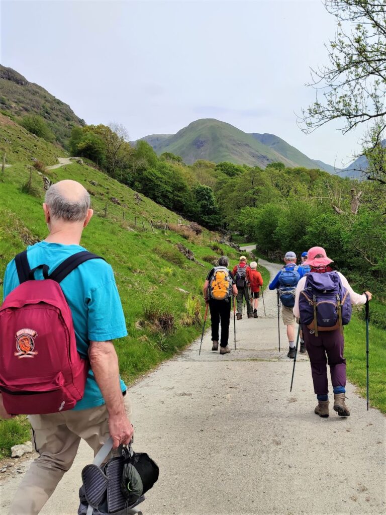
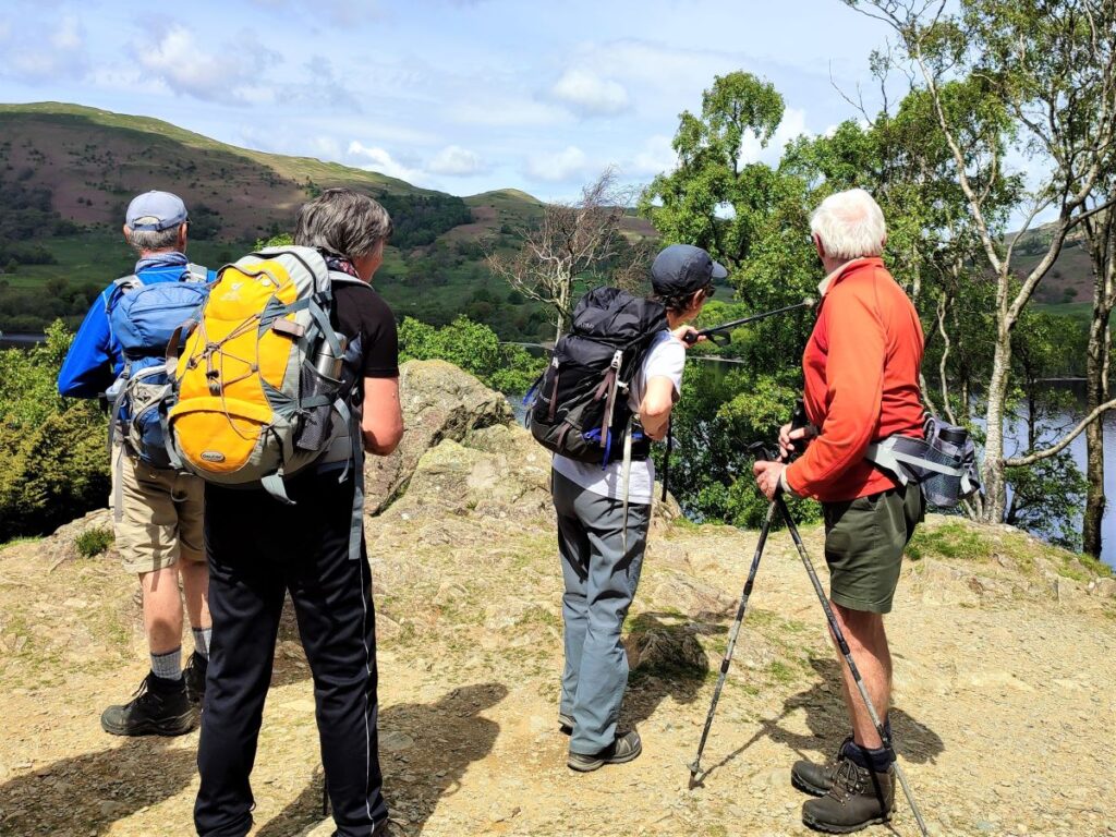
In July 2022, Bentham Footpath Group undertook a challenging linear walk on the Northern side of Ullswater – click here for more detail. During that walk we had great views across Ullswater to Place Fell, and this time we return to explore the South side of the lake.
We start from Deepdale Bridge, and initially take a gentle route by contouring around the lake until we get to Scalehow Force. We then head steeply uphill to High Knott, then on to High Dodd, from where we get a good view of the cairn on Place Fell. The strenuous climb to that cairn is rewarded by excellent views across Ullswater to Glenridding, Patterdale and the Kirkstone Pass, before we head downhill – again quite steeply – to Boredale Hause. The final leg of the walk continues downhill to meet the path we used at the start of the walk at the base of Dubhow Crag, before we head back to the cars. This is a strenuous walk, with the more difficult terrain later in the day – so prepare well and make sure you have enough water.
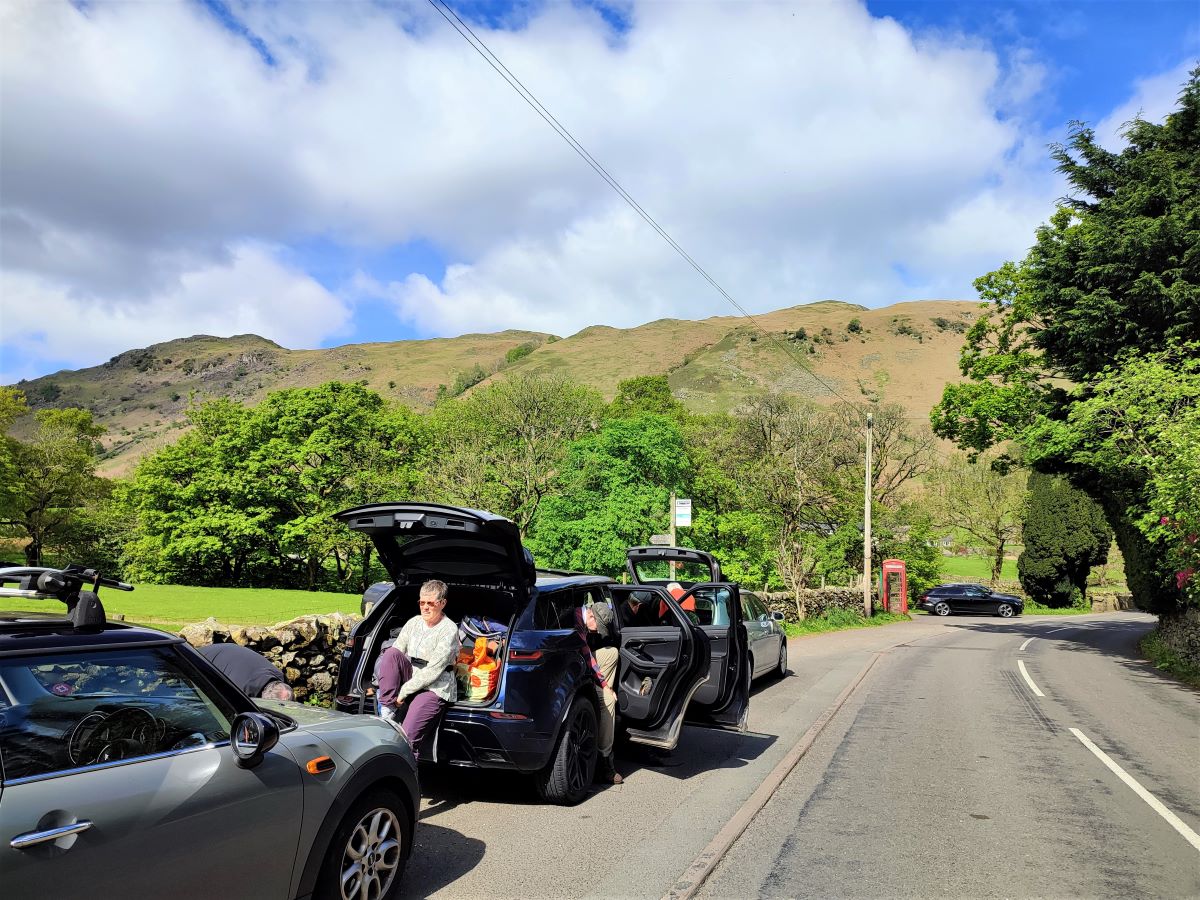
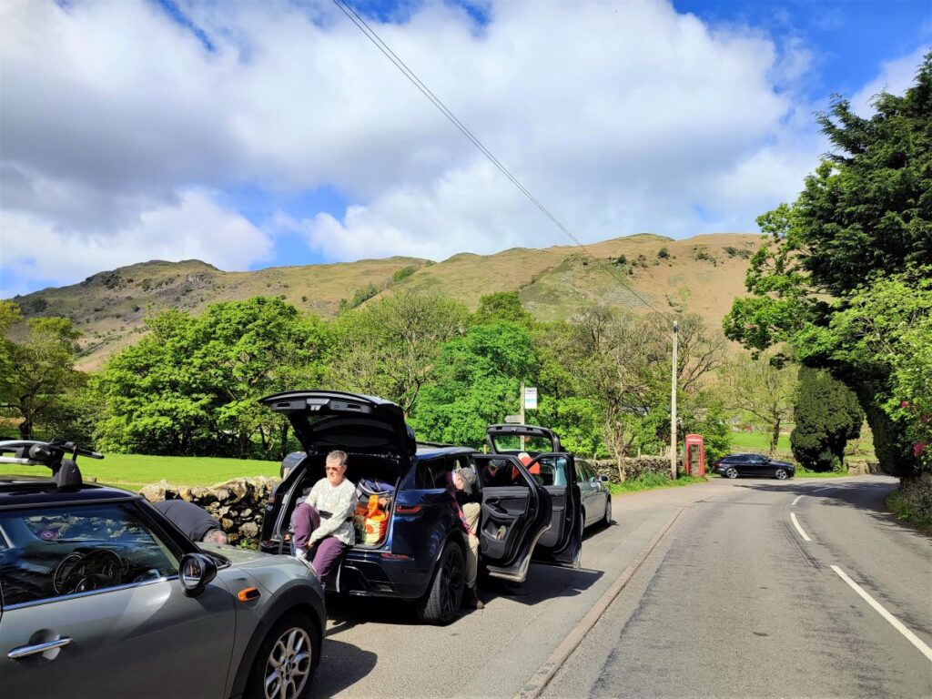
We start at Deepdale Bridge, using roadside parking just to the South of the bridge.
Deepdale Bridge is on the A592 – the Kirkstone Pass – running between Windermere and Patterdale. If you are using Satnav to get to the start, the postcode CA11 0NS relates to a holiday let at the start of the route, or you might try Bridgend or Deepdale Bridge as addresses. If you prefer What-3-Words, then the tag is departure.changed.steeped, or for paper map users, the grid reference is SD56788065.
Whichever tool you use to get to the start, look out for the phone box, and you will usually find roadside parking available.
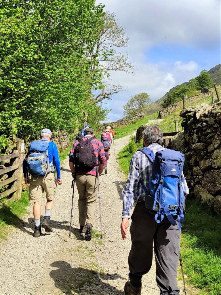
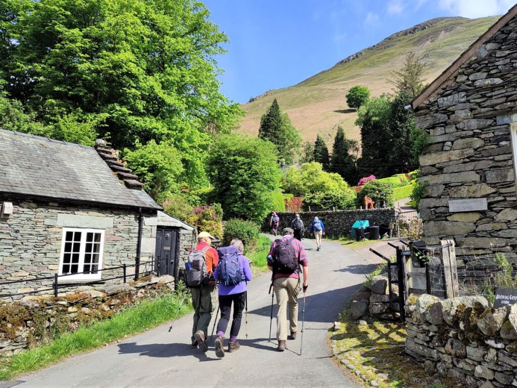
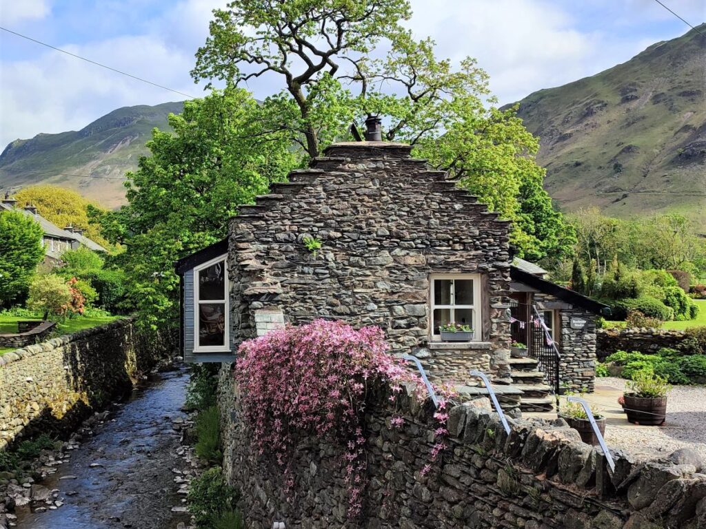
From the parking place, we start out by heading North along the roadside for just a few metres to cross the bridge over Deepdale Beck – there is no pavement here so take care. We keep an eye open for a lane leaving the main road on the right just after the bridge – signed for Yew Tree Cottages, and we head down that lane, noticing the particularly attractive Beckside studio, now a holiday let.
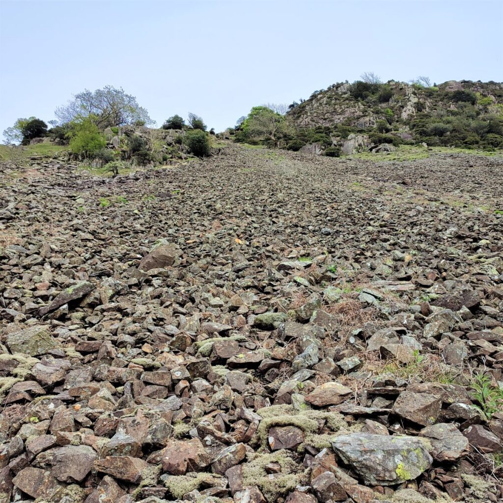
We follow the lane for a short distance to enter a field via a kissing gate, and from there head out across surprisingly flat fields toward Dubhow Crag along an obvious footpath until we merge with a gravel track.
We continue (left) on the track, still with Dubhow Crag ahead of us, and cross a small stream – this is Goldrill Beck.
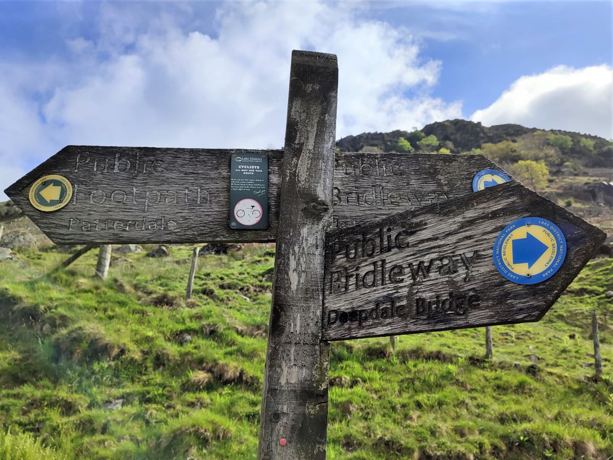
Beyond the beck, the track bends left and heads slightly uphill and we follow it to a way marker post showing three routes; Deepdale bridge, the direction we have just come from, and then to the left a footpath to Patterdale, and on the right a Bridleway that is part of our return route later in the day.
We take the footpath to Patterdale which takes a gentle and generally flat route along the base of the valley.
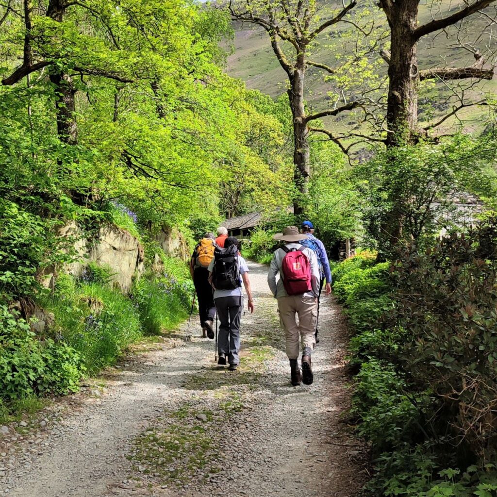
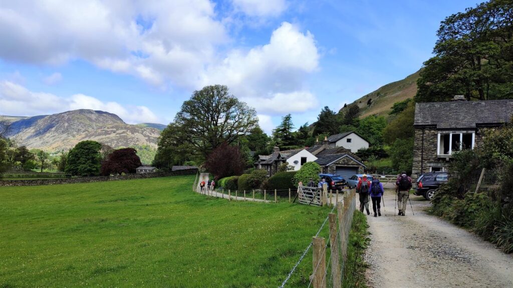
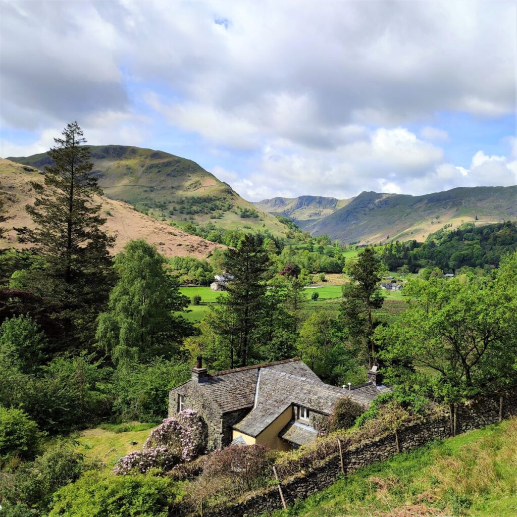
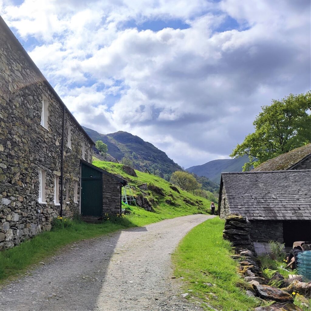
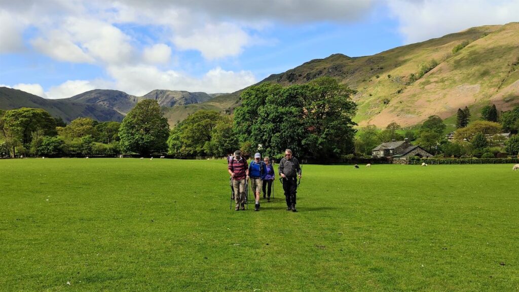
We soon pass a farmhouse at Beckstones – it’s worth remembering what this looks like, so that we can use it as a landmark later in the day when we pick our return paths. Beyond this, the path passes below an area of woodland before arriving at a cluster of houses at the delightfully named Crookabeck. The route remains clear and well signed as we thread through the houses and then head out right along a clear lane.
We follow this lane for a while now, with the going remaining easy and quite flat, with small cottages every now and again along the lane side.
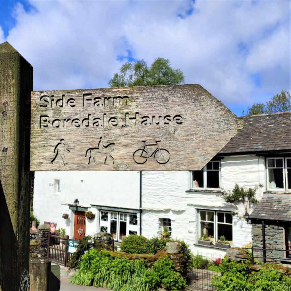
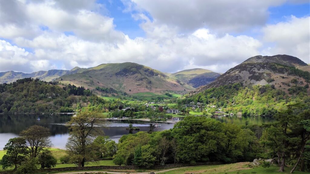
After while we reach a junction with a minor road – a key landmark is the whitewashed house directly ahead. We turn right here following the sign for Side Farm and Boredale Hause. This takes us to a gate where we head onto the base of the Fells and after a brief climb, we meet a T junction in the path – we go left here. The path on the right goes to Boredale Hause – we do go there eventually -but much later in the walk, so don’t be tempted by it at this early stage.
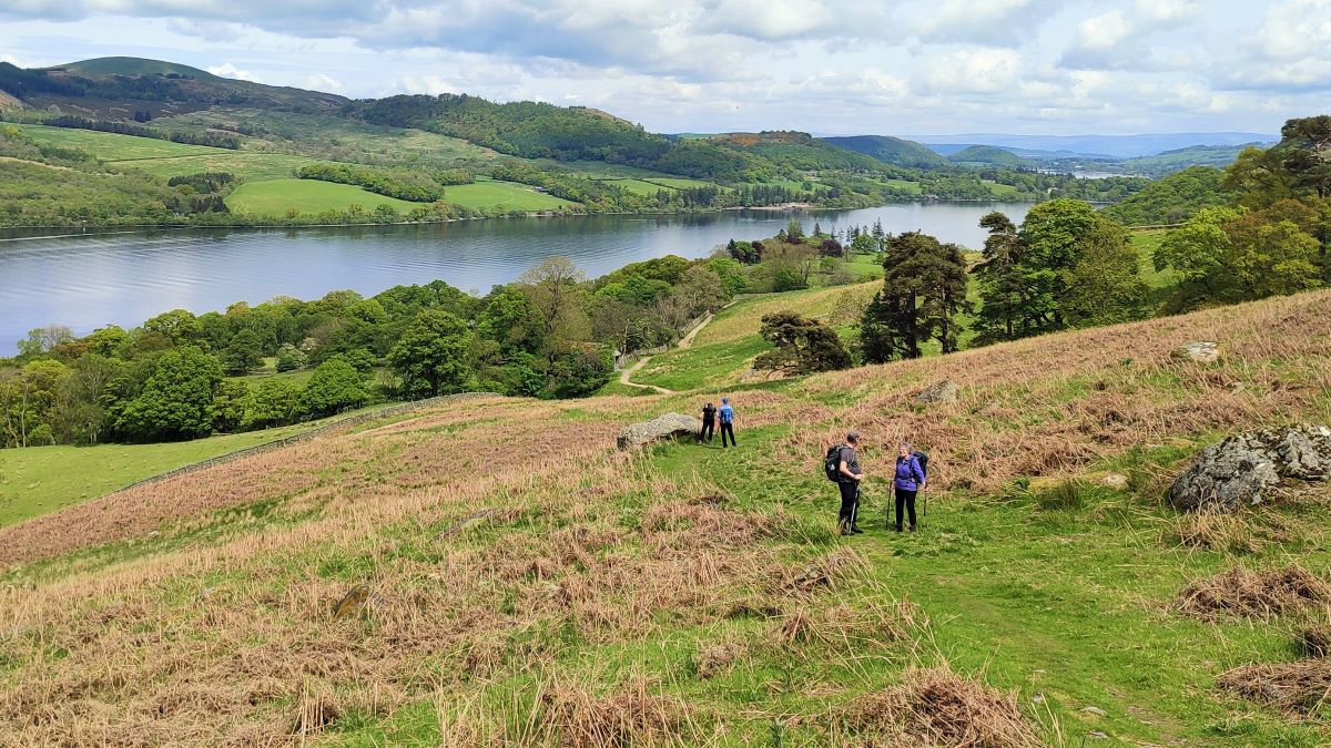
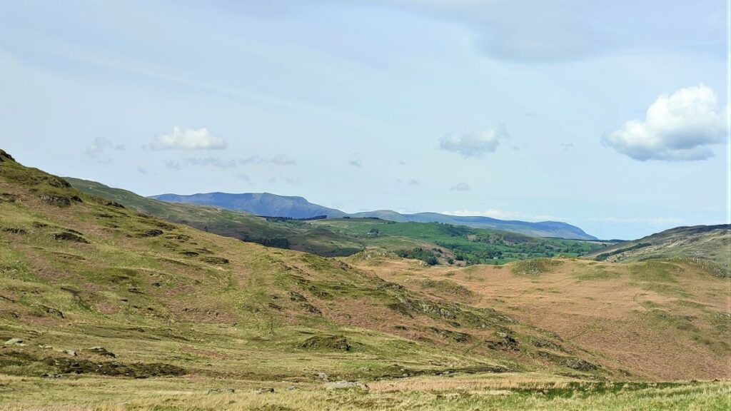
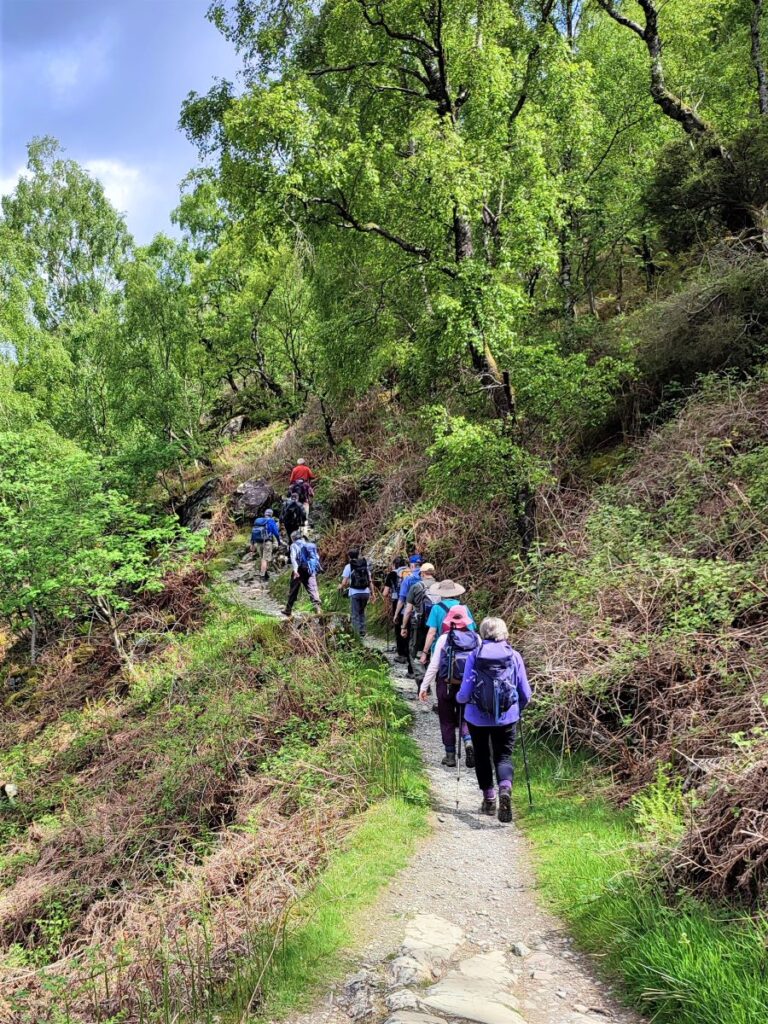
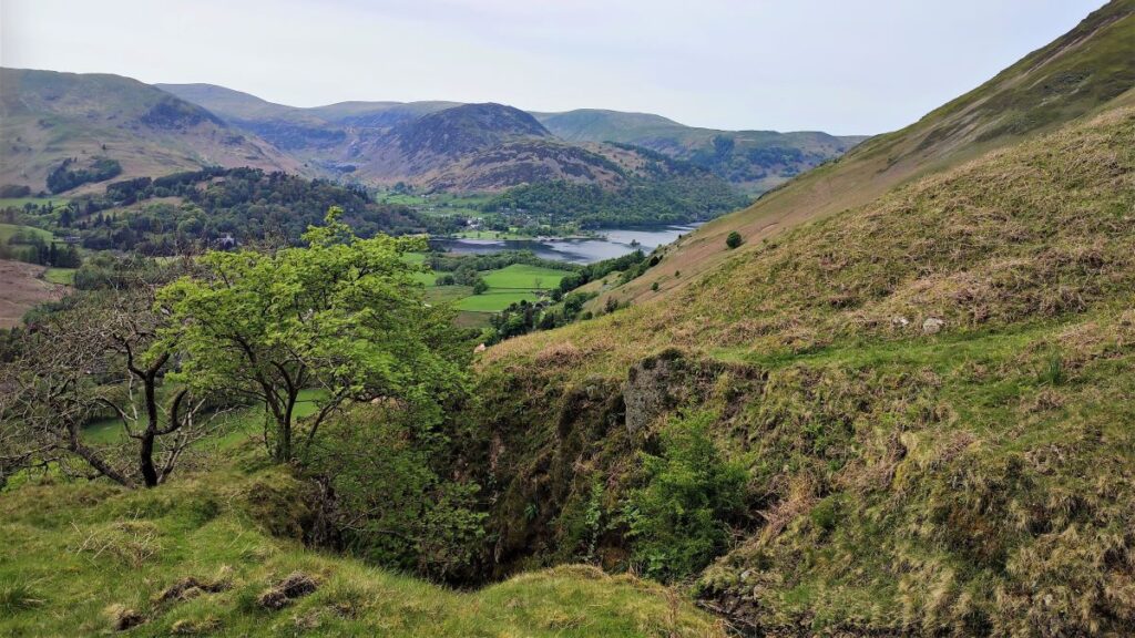
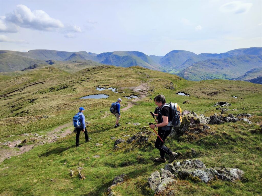
The path continues North for a good while now – with intermittent views across Ullswater on the left, and the steep fellside slopes to the right.
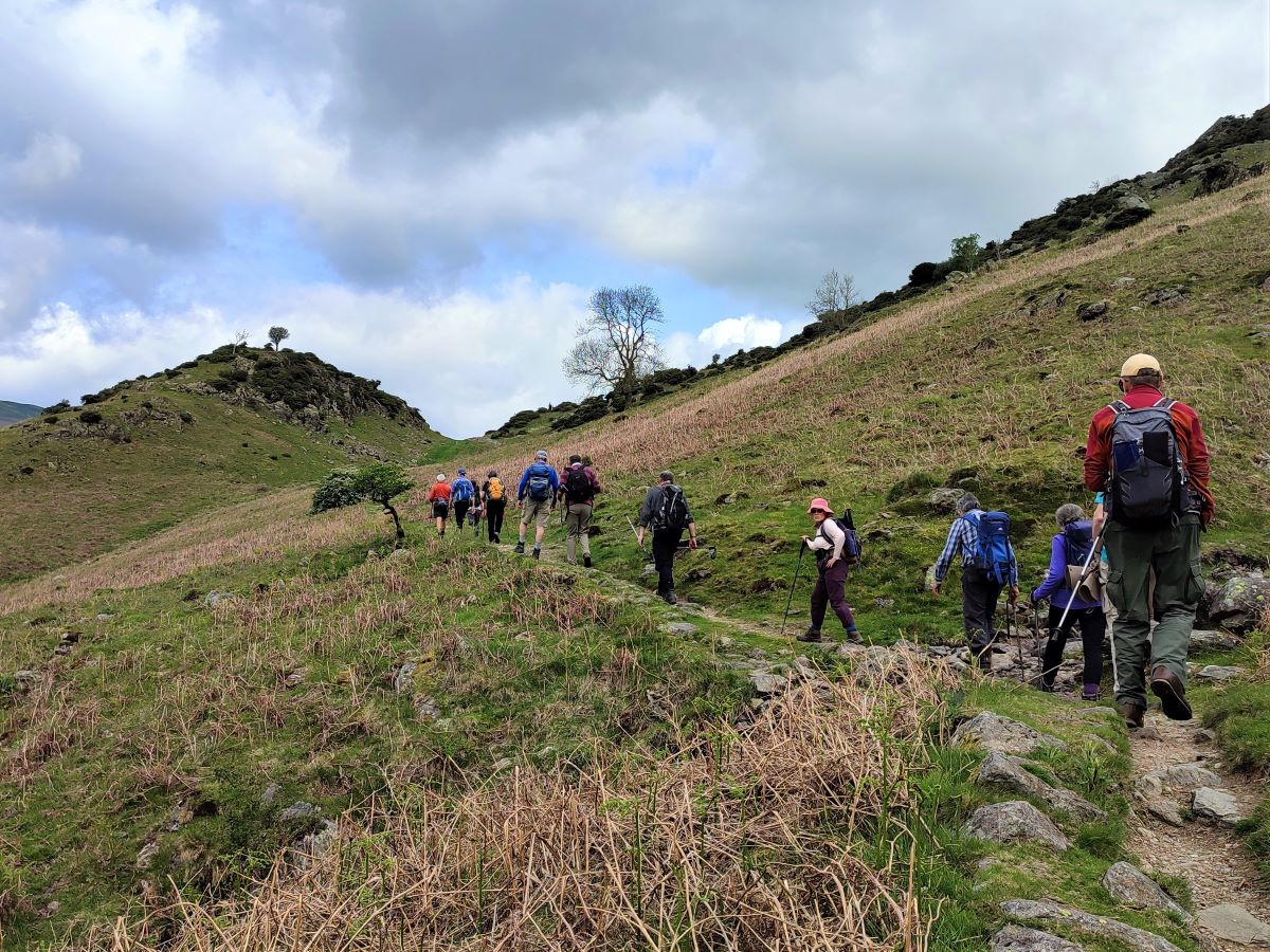
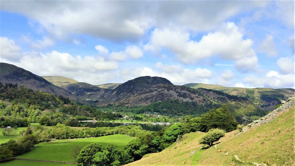
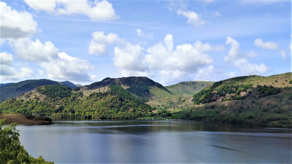
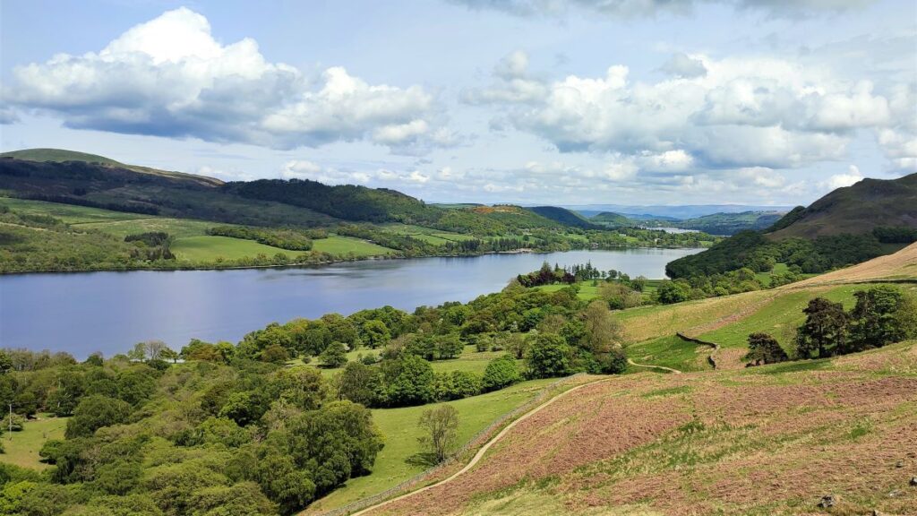
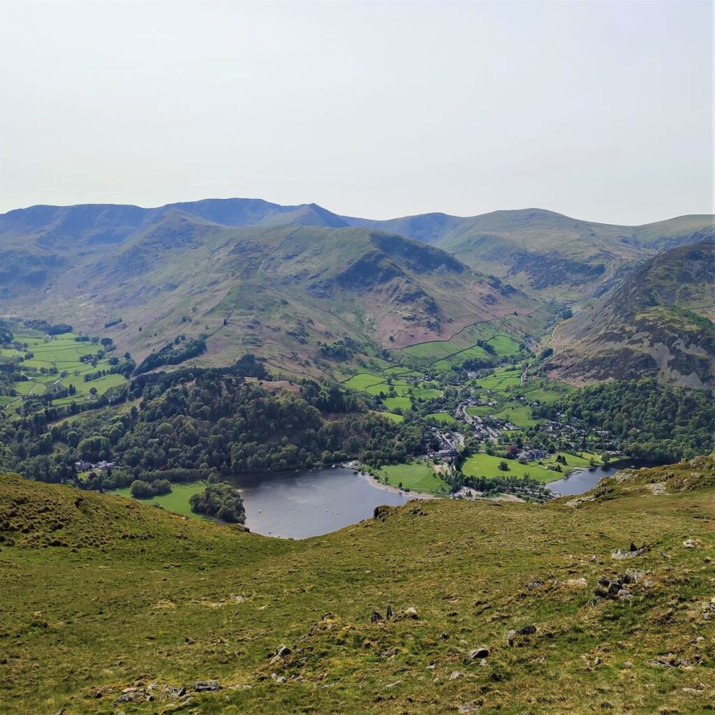
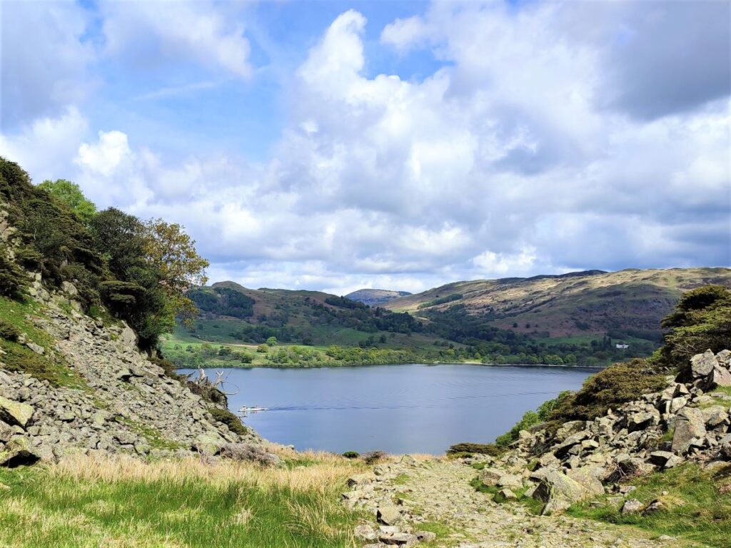
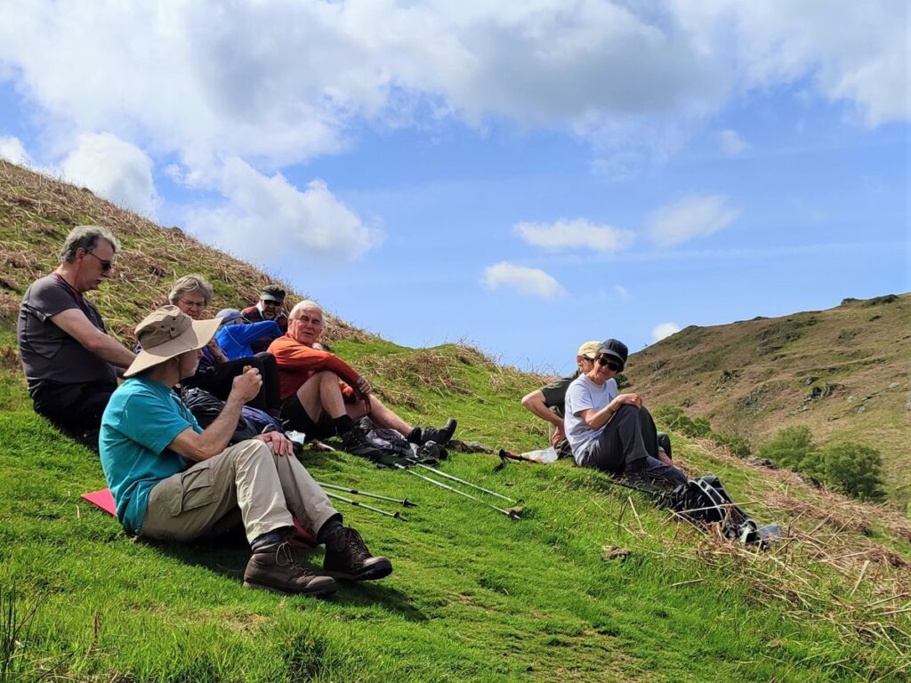
We have been walking on fairly flat paths so far, but ahead of we eventually see a saddle shape formed by Silver Crag (on the left) and Birk Fell (on the right). We start to climb here and head for the pass between the two high points where a great view up Ullswater toward Pooley Bridge opens up. This is a good place to take a break and enjoy the view before we start the steep climbs that lie ahead.
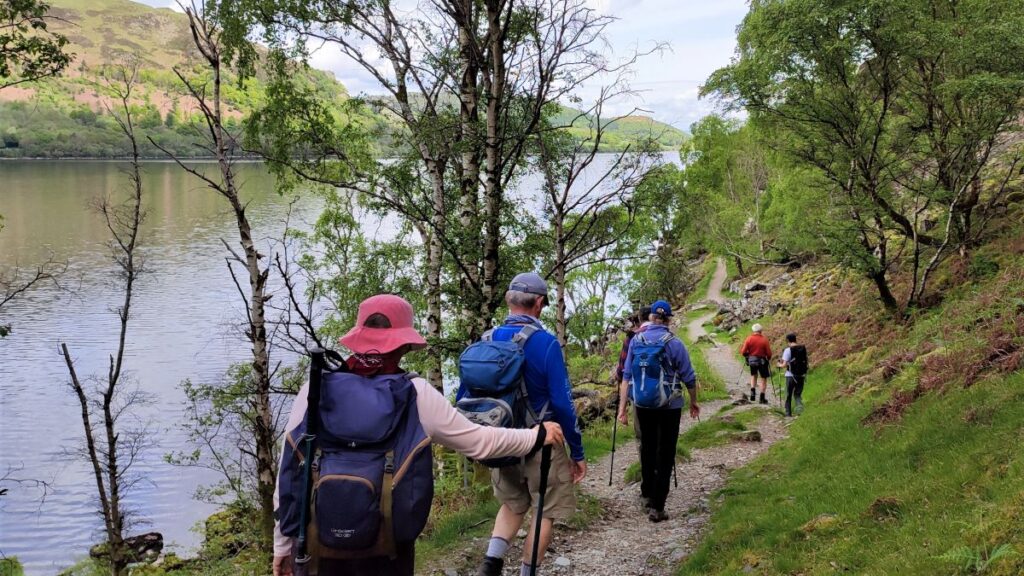
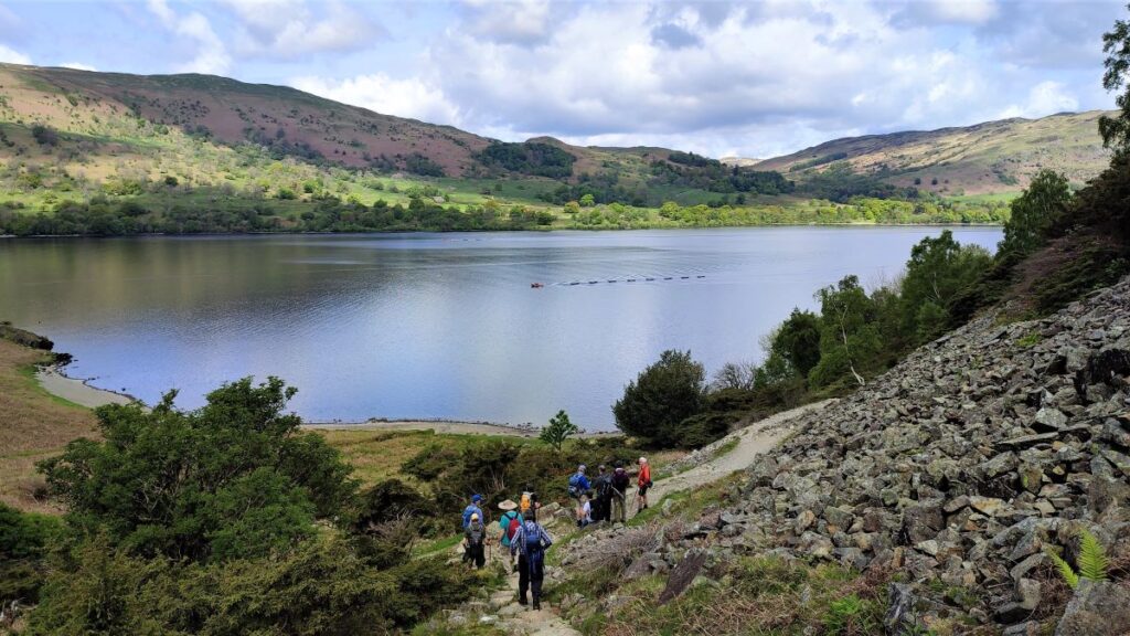
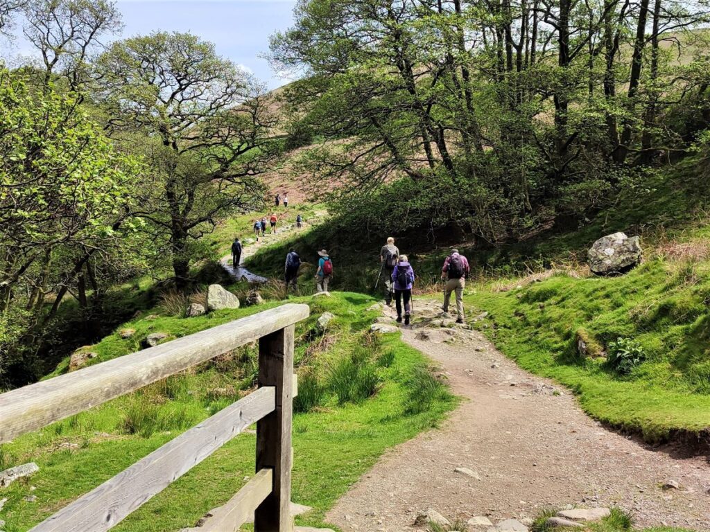
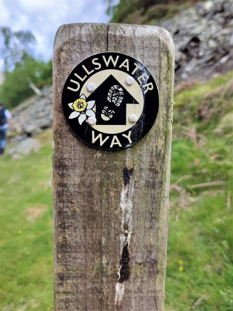
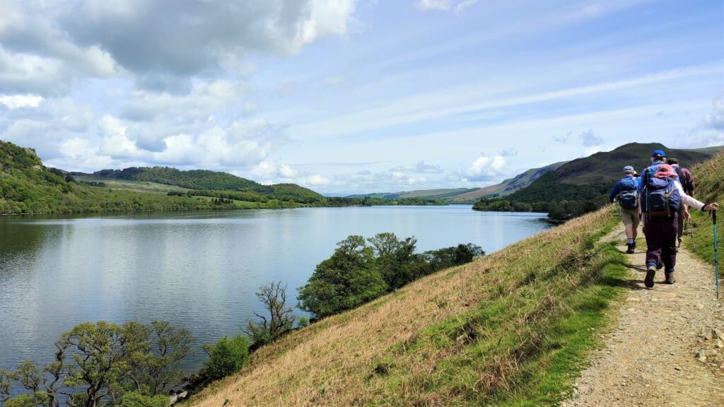
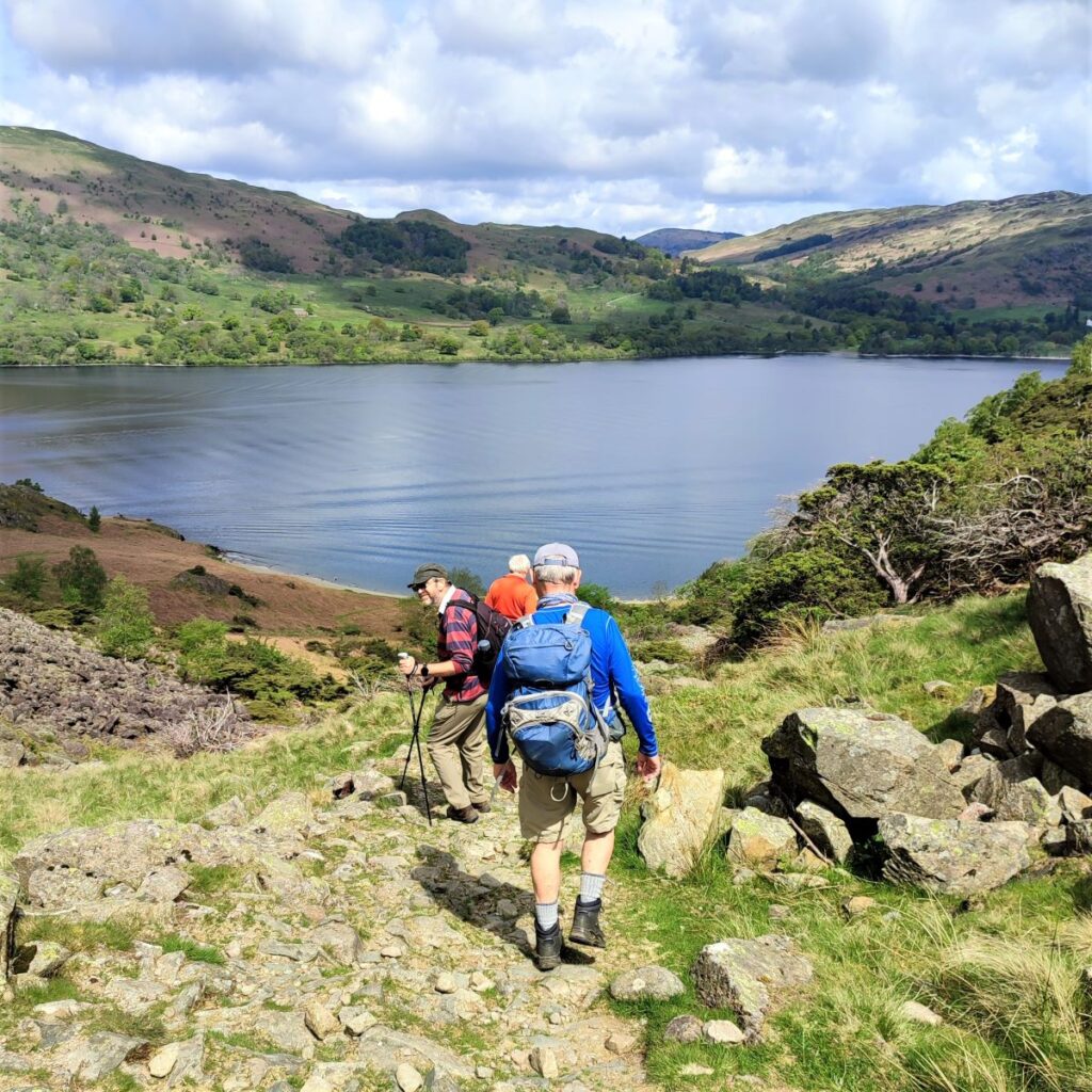
The path continues down the far side of the saddle shaped gap as if heading to the lakeside, but before we get that far, our path meets the Ullswater Way, which came around the other side of Silver Crag. When we meet this popular route, we head right and follow it through woodland heading generally Northwest.
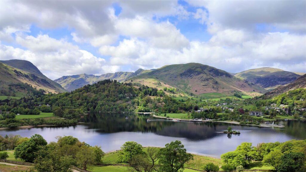
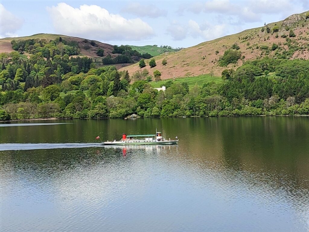
The Ullswater Way, as the name suggests follows the side of the lake, although the steep sides and dense woodland in this part of the valley mean that it is not always visible. In places the path reaches clearings in the trees and we get great views of the lake – each looking different to the previous one, and at other times, we enjoy stretches where the path nears the water and there are no trees, and in these places this really is a lakeside walk.
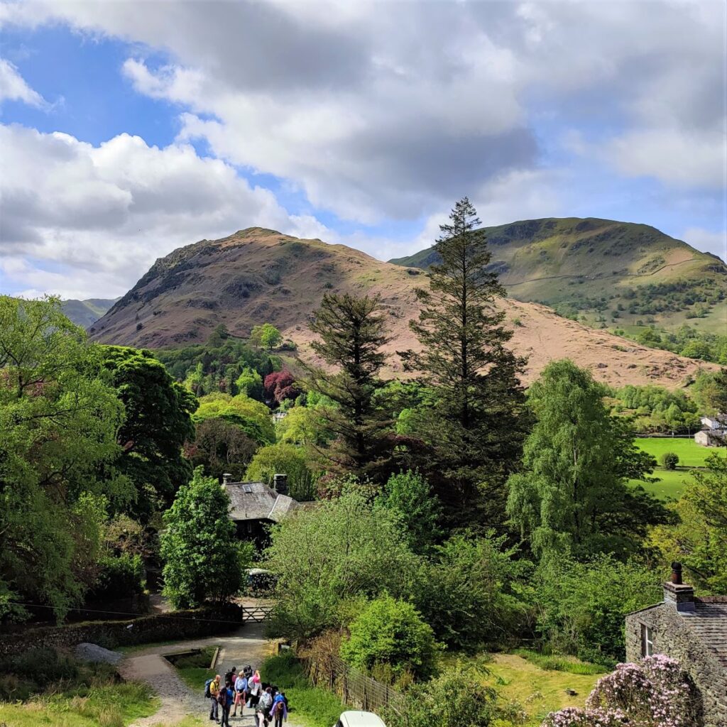
The Ullswater Way eventually bends round to the right, and we start to head inland, to cross a footbridge over Scalehow Beck. Over to our right at this point is Scalehow Force, a waterfall that is impressive when in full flow, but easy to miss during prolonged dry spells.
The bridge and Scalehow force are important landmarks for us, because soon after we cross the bridge, we need to pick up a path on the right which heads back at quite a sharp angle to climb steeply up to High Knott. The continuing Ullswater Way is more heavily used, so the path is easy to miss. If you find your path ending at a minor road you have gone slightly too far, so backtrack and try again.
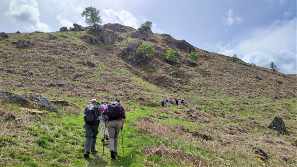
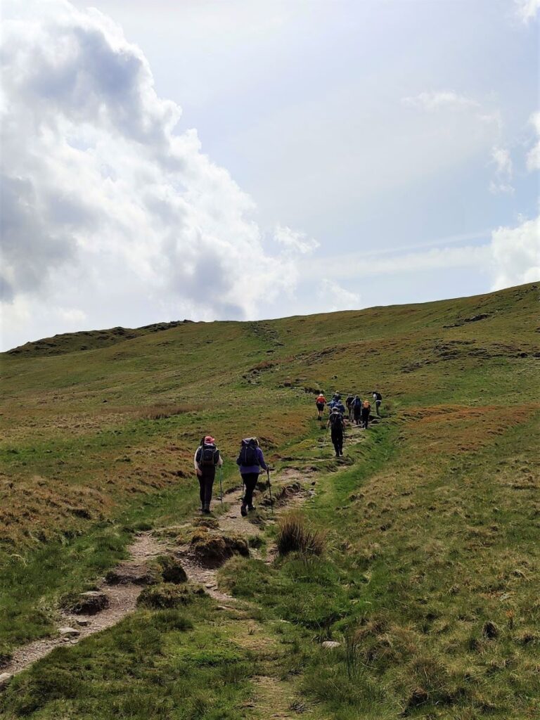
This is the point in the walk where the steep climbing begins. We are now heading Southwest to follow the course of Scalehow Beck toward High Knott, a rocky outcrop with great views of the lake and where you may wish to take a short break.
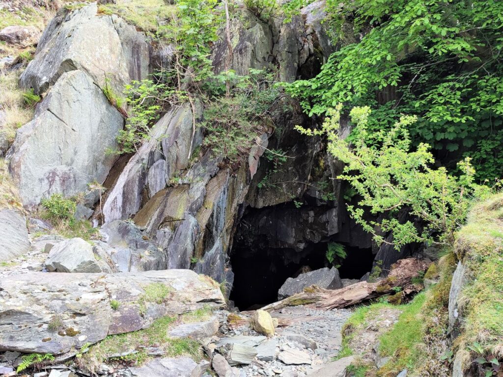
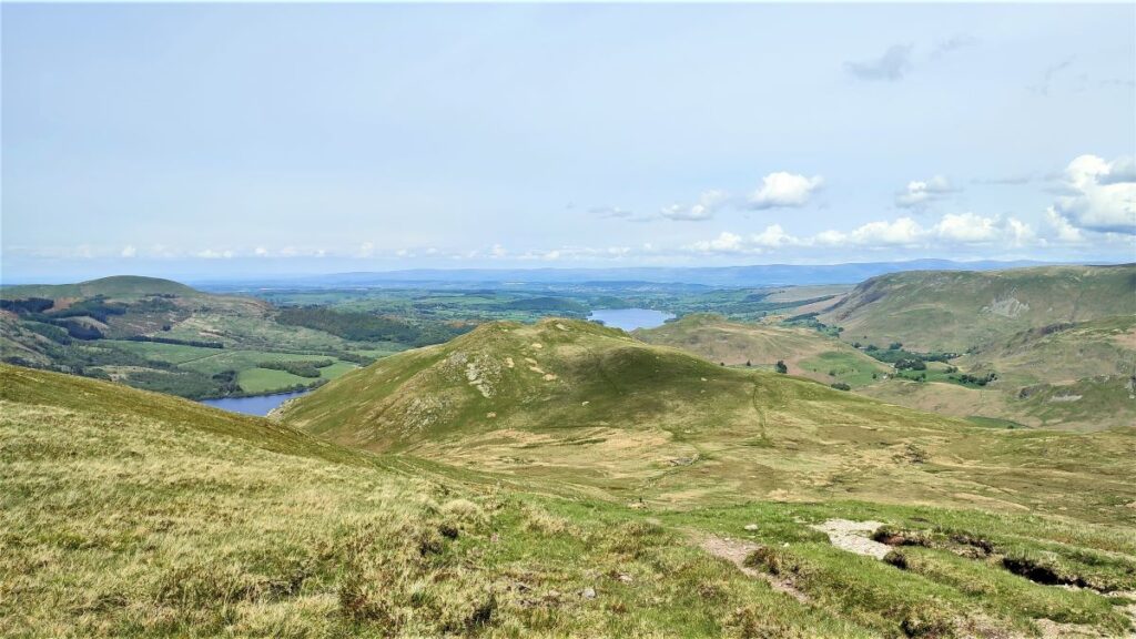
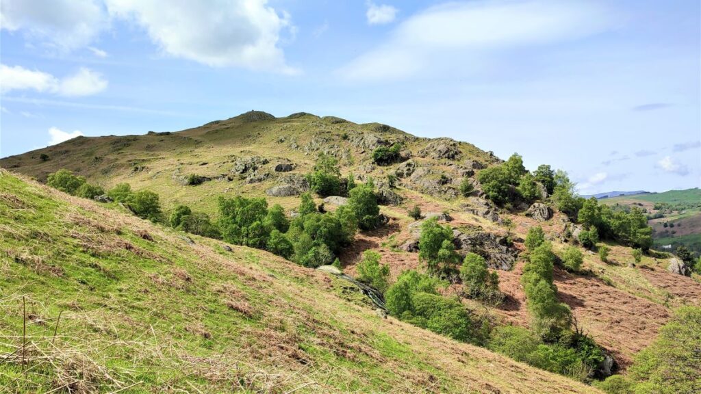
Continuing on, the path bears left so that we are heading South and climbing steeply to a disused quarry building at High Dodd.
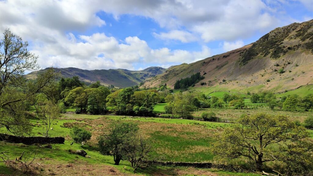
As we move beyond the old quarry, we have good views of Place Fell – the peak over to our right.
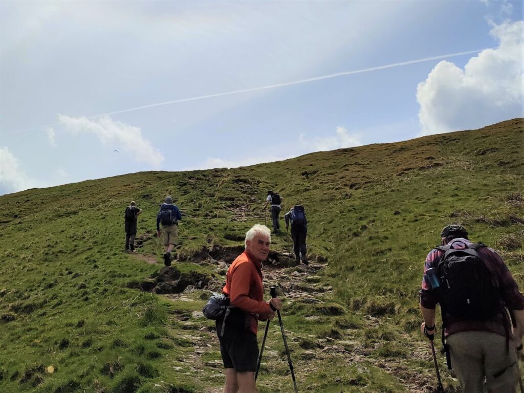
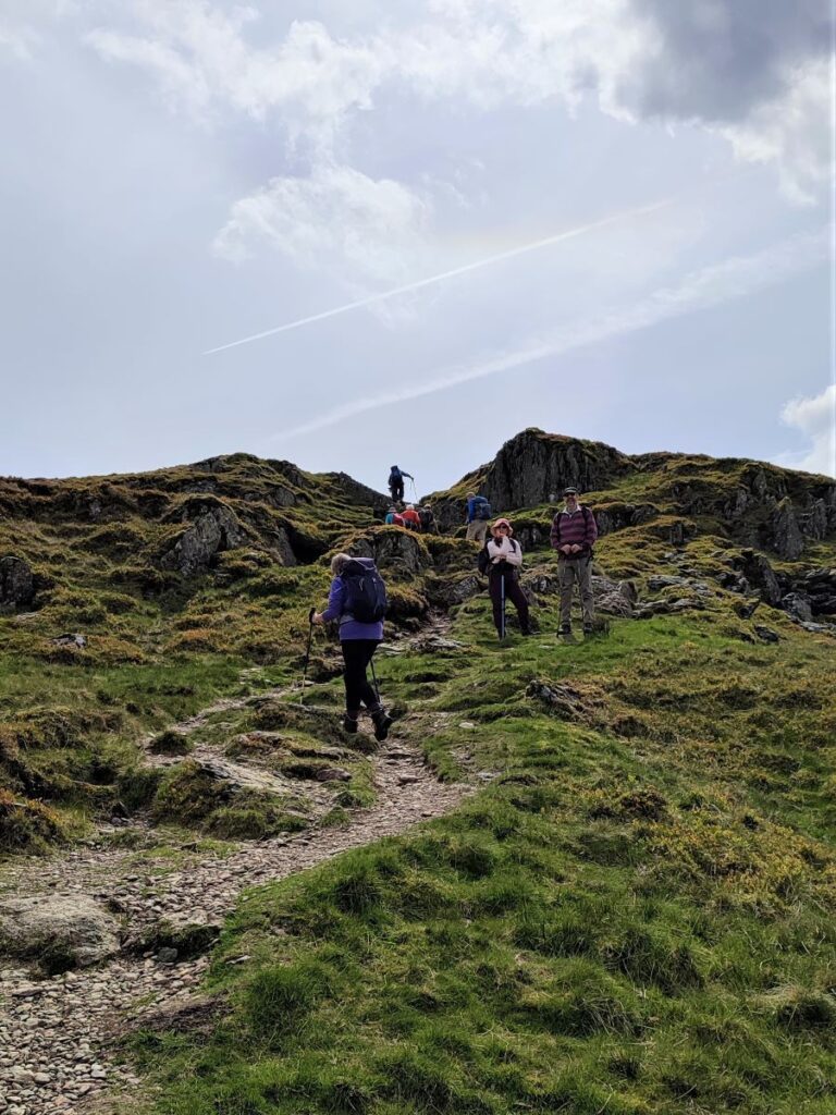
This is our next target, but we need to follow the path around High Dodd for a little while until we meet the path heading up Place Fell. When we find this path, we head sharp right and begin the ascent of the Fell.
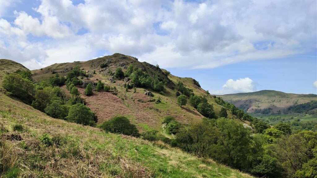
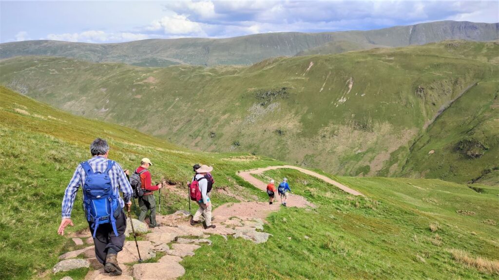
We are heading for the cairn at the top of Place Fell – it’s not always visible, at least not in the early stages of the climb, but the path is clear and given that the cairn is right at the top, then heading to the highest point you can see will always work.
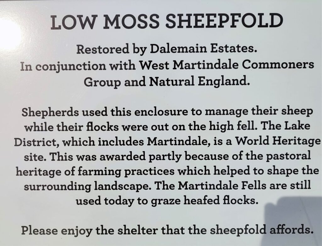
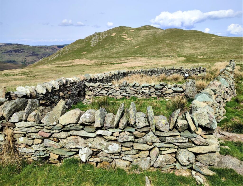
A useful landmark on the way up is the restored sheepfold at Low Moss – this is found at the point where the path heads to the right up Place Fell, so if your path does not pass directly in front of the fold and this sign, you may have missed the turn and therefore need to retrace.
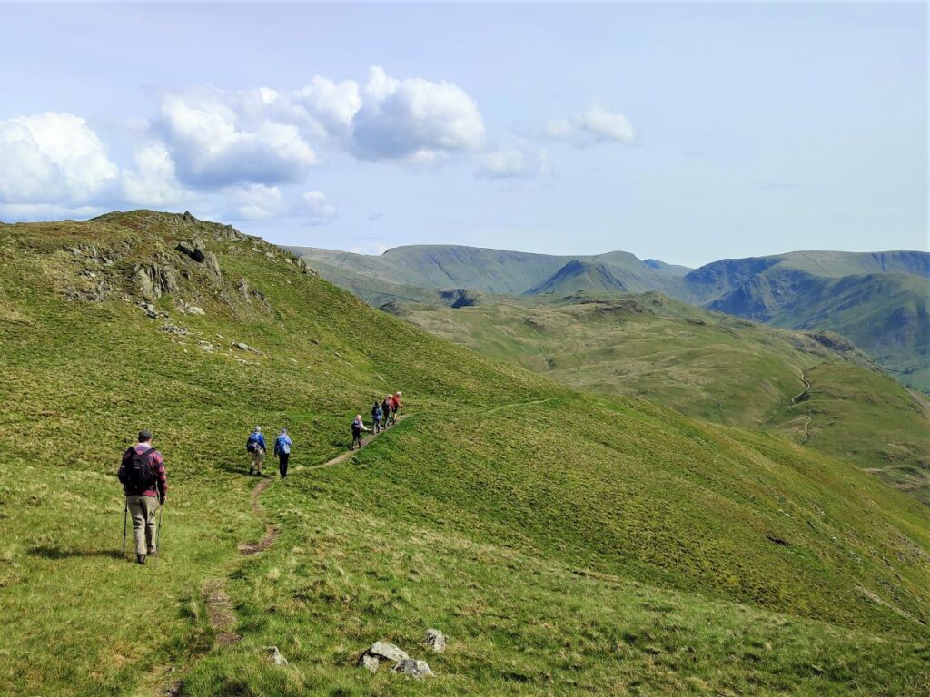
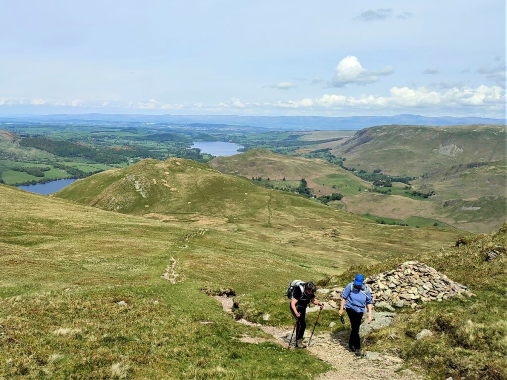
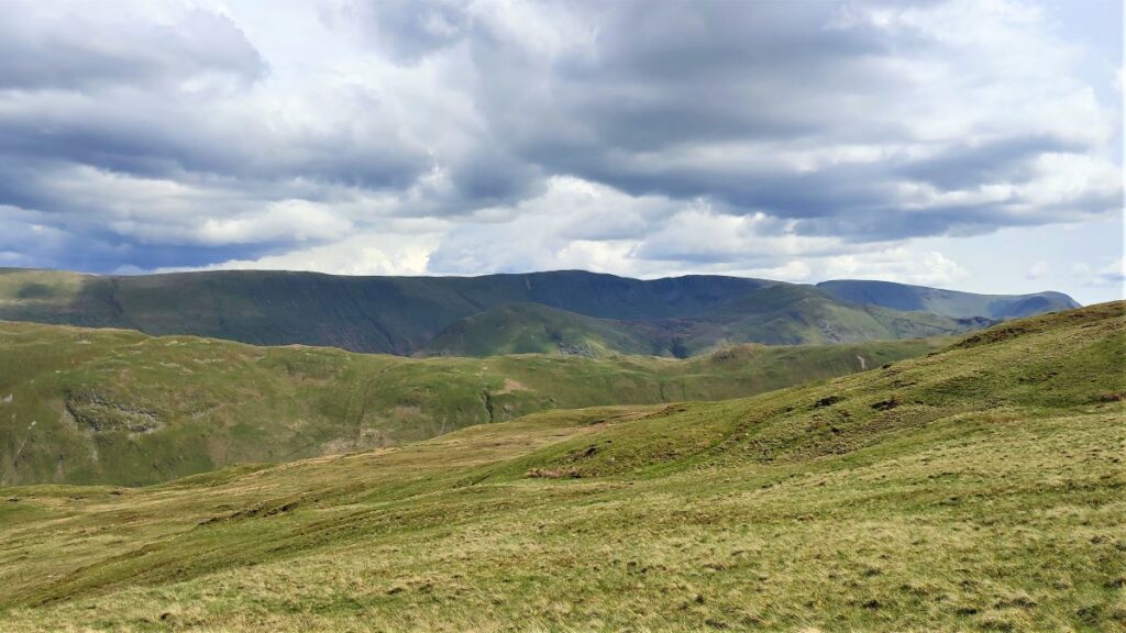
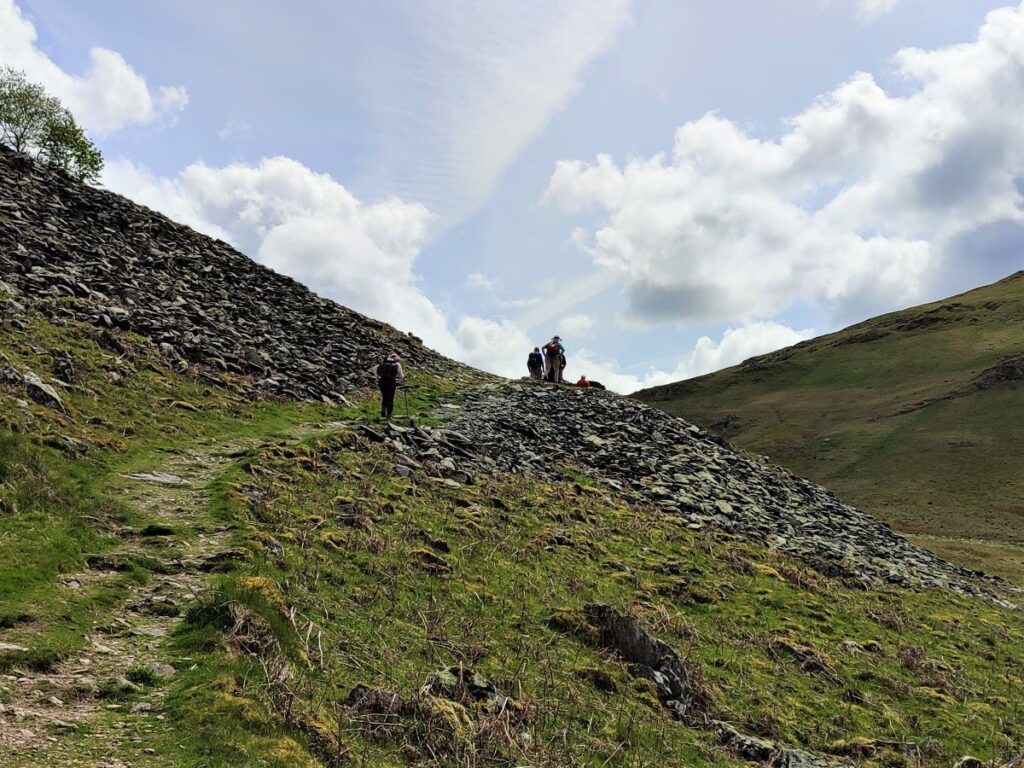
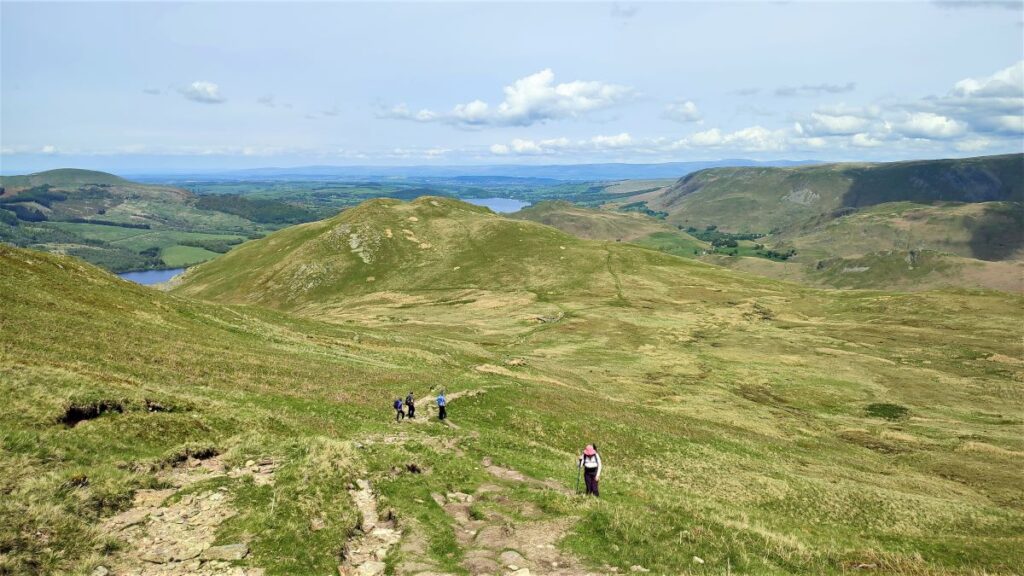
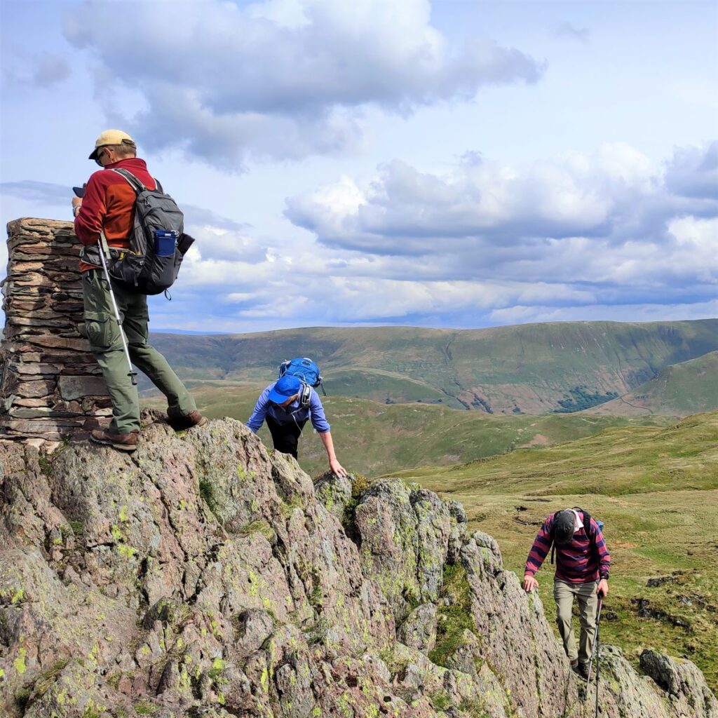
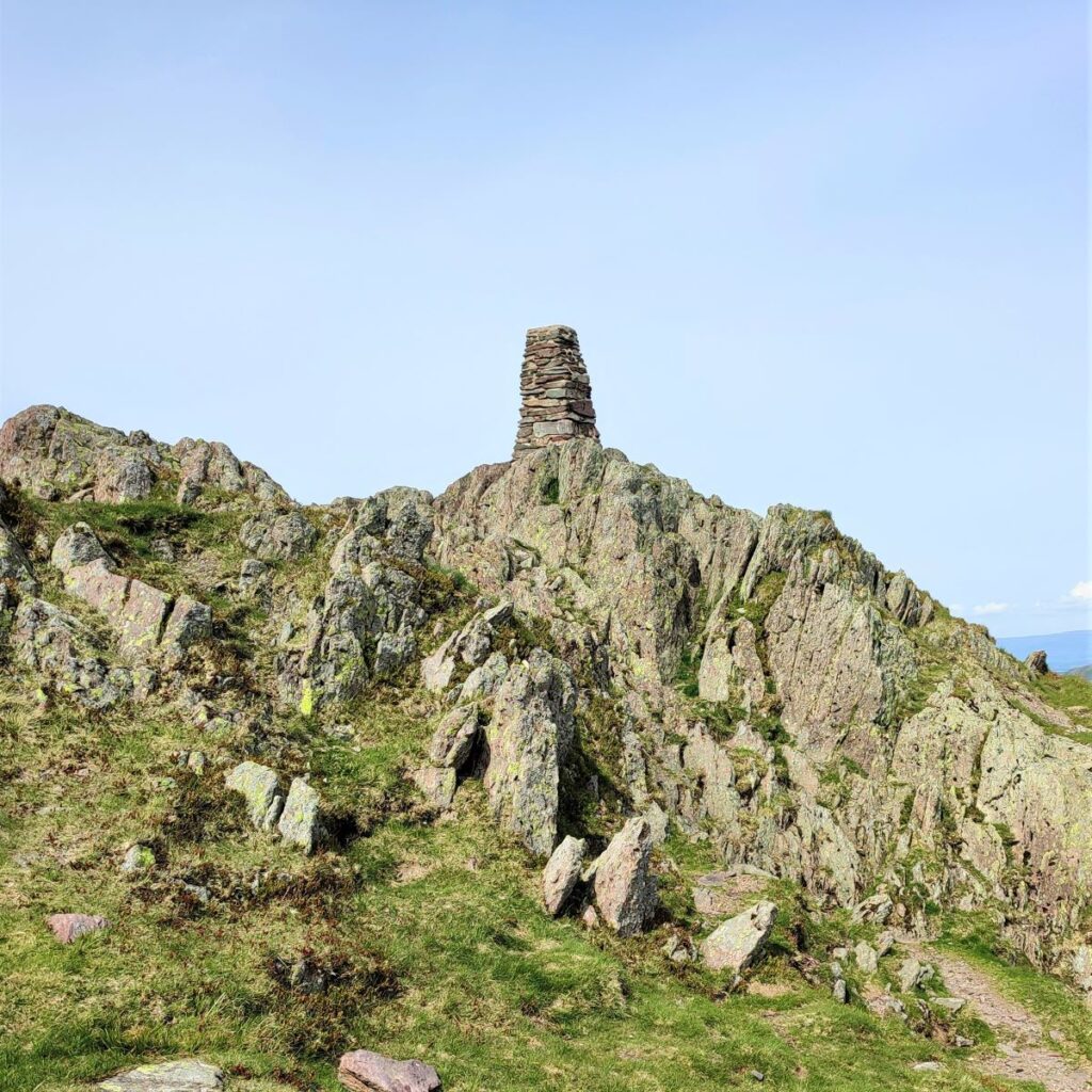
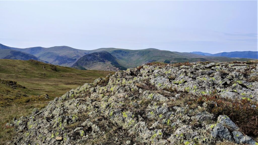
The route up to the cairn at the top of Place Fell is relentless, but the views back over Ullswater and to the left over The Nab and the Deer Forest make the hard work worthwhile.
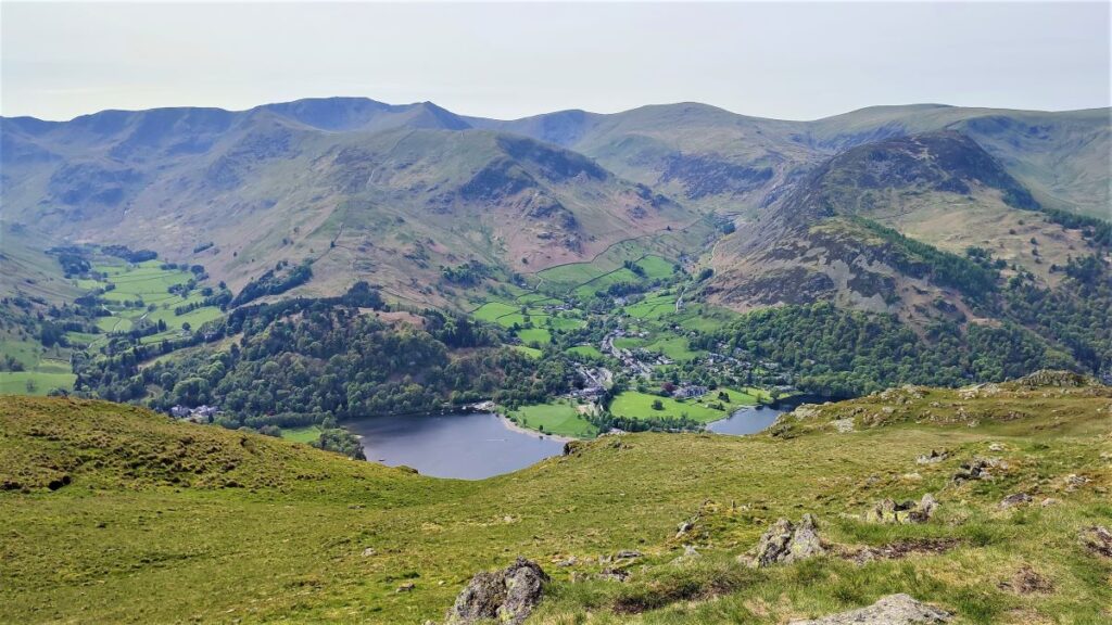
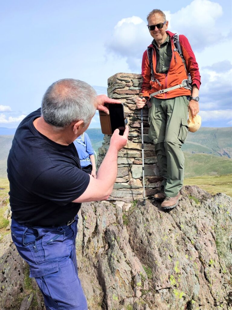
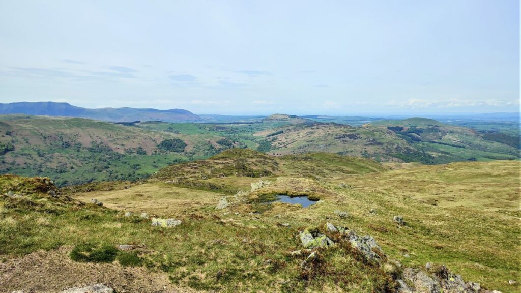
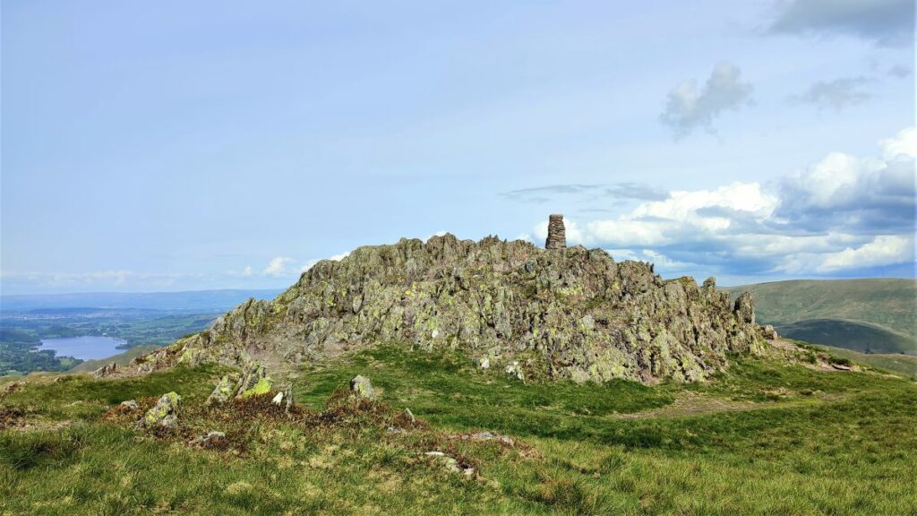
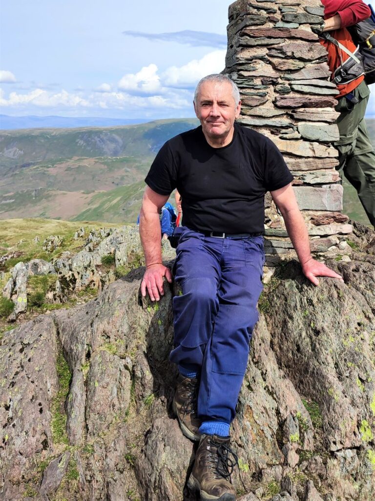
As we climb, the cairn and trig point (675m) at the top of Place Fell become clear, and the final scramble to the flatish top is soon over. We celebrated this by taking a while to rest and enjoy the views – which are spectacular in every direction.
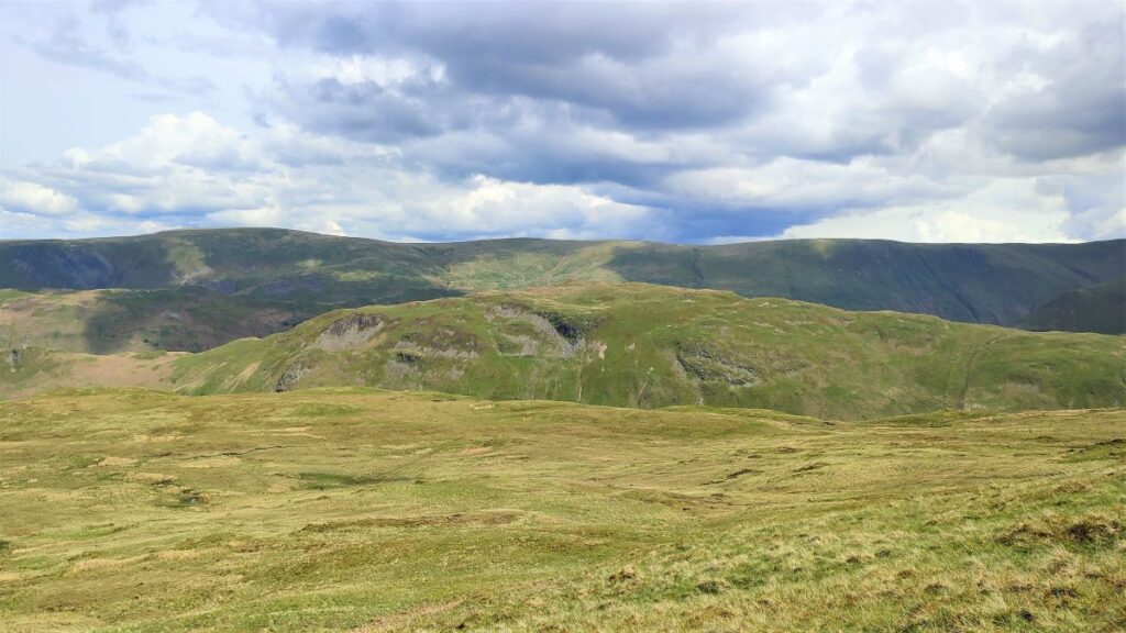
Particularly impressive are the views back up the Kirkstone Pass and over the south end of Ullswater to Glenridding, where on a clear day the scars associated with the lead mining at Greenside are clear.
The mine opened during the second half of the 18th century but had closed by 1819, having proven uneconomic at that time.
In 1825 the Greenside Mining Company was formed and reopened the mine. They made good profits until 1880, when the price of lead fell. Many other lead mines closed at that time, but the company reduced its costs and continued to work Greenside until 1935.
Electricity was introduced to the mine in the 1890s, and it became the first metal ore mine in Britain to use electric winding engines and an electric locomotive. In 1936 the Basinghall Mining Syndicate bought the mine and turned it into a high volume lead producer. The mine closed in 1962 after lead reserves had been exhausted.
Just before it closed the mine was used by the Atomic Weapons Research Establishment (AWRE) to conduct an experiment in detecting seismic signals from underground explosions – this was part of NATO’s need to be able to monitor covert underground testing of nuclear weapons during the cold war.
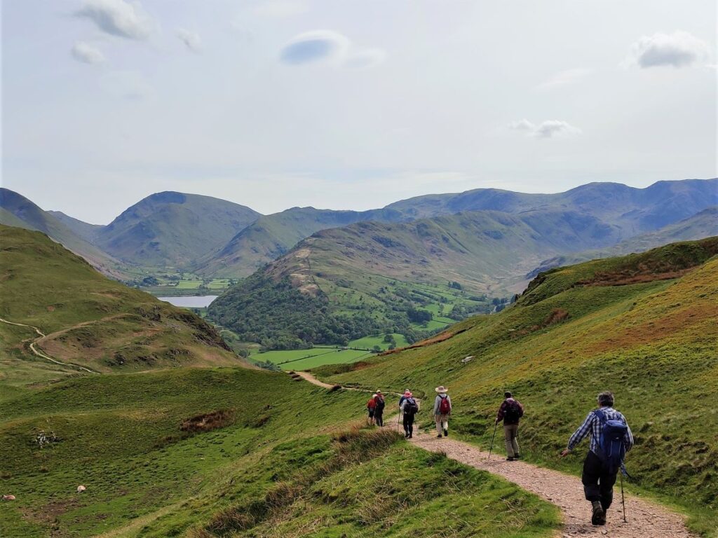
From the cairn, we look to the South to see a clear path meandering down toward Boredale Hause and Chapel in the Hause.
Hause is a word used in The North of England and in Scotland to indicate a col, in other words a neck or ridge between two peaks.
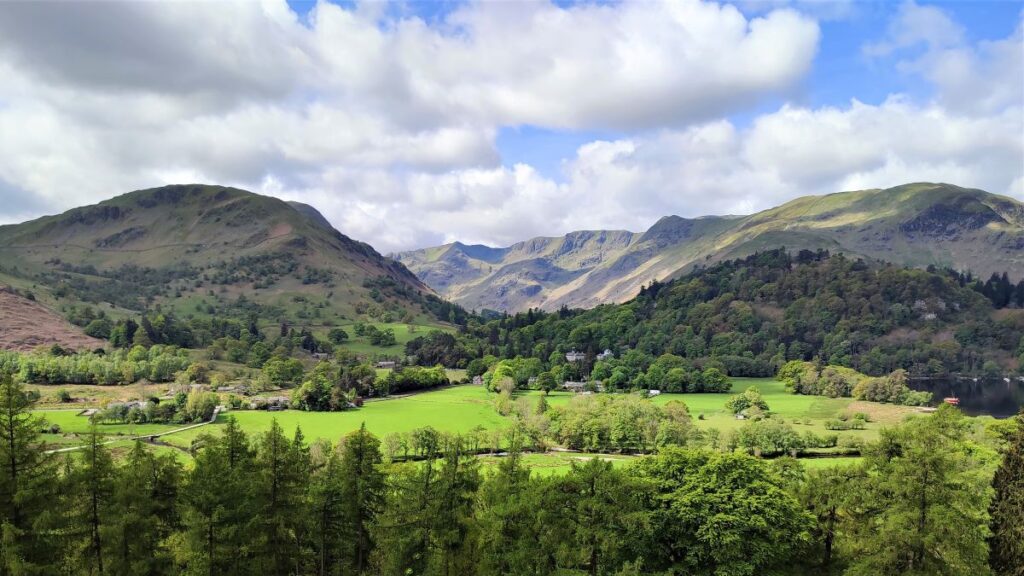
Boredale Chapel, or Chapel-in-the-Hause is the ruin of the old chapel located on the Boredale Hause plateau serving the two opposite valleys, of which Patterdale is one, and the other being Boredale. The fortitude to make that journey in winter is impressive –perhaps explaining why the chapel is now disused and ruined.
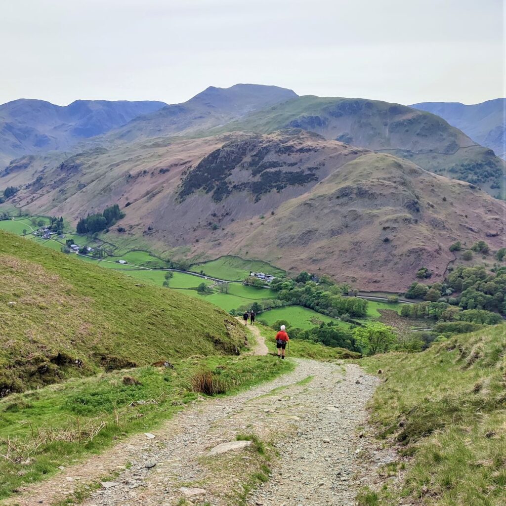
From the Hause we head downhill. There are a number of paths which intersect here, and it would be easy to take the wrong one, so the best guide is to look for the farmhouse we noted at the start of the walk (Beckstones) or the hamlet at Deepdale bridge and take the path that heads directly toward them.
This takes us steeply downhill until the route levels out and meets the path we started on – at the way marker with three options.
As we are now on the return leg, we take the route to Deepdale Bridge where we parked the cars.