Gummer’s How and Cartmel Fell
8.9 miles | 14.3km | 467 m Ascent | 11.2 Naismith miles | Susan Badley
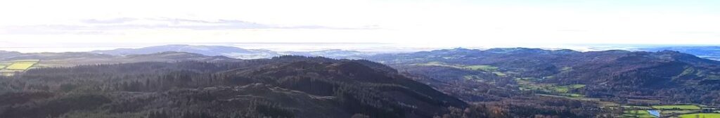
The Bentham Footpath Group typically undertakes about 50 walks each year. Given where we live, many of these will be in the rain or have poor visibility. Sometimes though we are spectacularly lucky with the weather and get to enjoy simply stunning views, and this walk was just such an occasion.
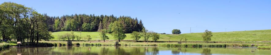
If you follow this route, you may or may not be so lucky, but whatever the weather, this will always be a great walk: We start from a free and convenient parking spot, climb up to one of the best views of Windermere, sharing the How with Luing cattle. We then head over to Sow How Tarn, clip the edge of Middle Tarn, and then go via Heights Cottage onto Ravens Barrow, and a curious monument. From there we visit a lovely ancient church and old schoolhouse, and through fungi-rich woodland to Thorphinsty Hall, through Crag Wood and up to an atmospheric derelict farmhouse en-route to Simpson Ground. We round the day off with a tranquil reservoir, and more woodland with lovely gnarled old trees. A perfect day.
Gummer’s How and Cartmel Fell Read More »