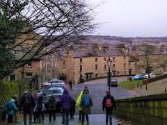
Lancaster: City and Country
6.6 miles | 10.6 km | 319 m Ascent | 8.2 Naismith miles | Susan Badley
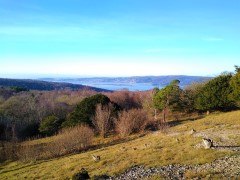
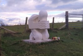
Walking from a city centre is unusual for The Bentham Footpath Group. This interesting walk starts in Lancaster city centre and takes the Lancaster Canal South to the Fairfield Nature Reserve, where we loop round the “Fauna”, “Flora” and community orchard areas to arrive back at the canal.
We then head through Aldcliffe to the Lune estuary and the Lancashire Coastal Way, before returning via Freemans Woods to the city centre.
Good views of the Priory and Castle end this refreshing walk.
Lancaster: City and Country Read More »