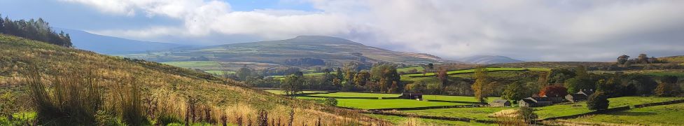
Melling circular via the rivers Lune and Greta, Wrayton and Wennington
5.9 miles | 9.5 km | 173 m Ascent | 6.8 Naismith miles | Mary Taylor
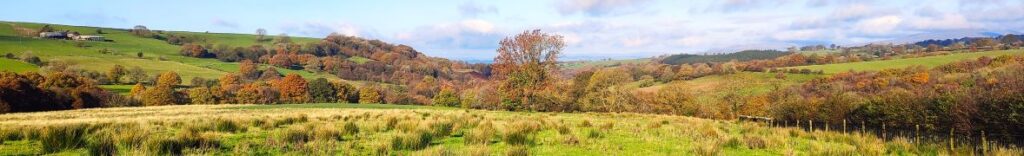
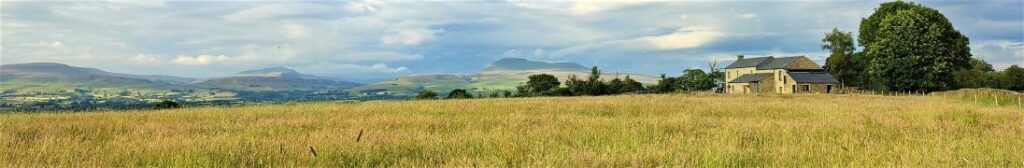
Over the last couple of walks, we have started to see the first signs of spring – with snowdrops, daffodils, and hazel catkins starting to emerge. The optimistic feeling that the winter might be releasing its grip was confirmed on this excellent local walk: We enjoyed brilliant sunshine as we walked from Melling over to Wrayton, and then on to the banks of the river Greta, following it down to its confluence with the Lune.
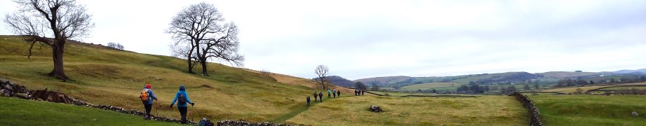
The original intention was to continue down the Lune and loop back to Melling via farm lanes. However, the recent rains made this route impassible, so our ever-resourceful leader provided an alternate route back: We returned to Wrayton as per the outbound walk, then took a path over the hill by Catgill Barn and down to the edge of Wennington Hall. A brief stretch on the road then took us to Lodge farm where we took a path that over the top of the Melling railway tunnel indulging in some industrial archaeology and then back into Melling.
Melling circular via the rivers Lune and Greta, Wrayton and Wennington Read More »