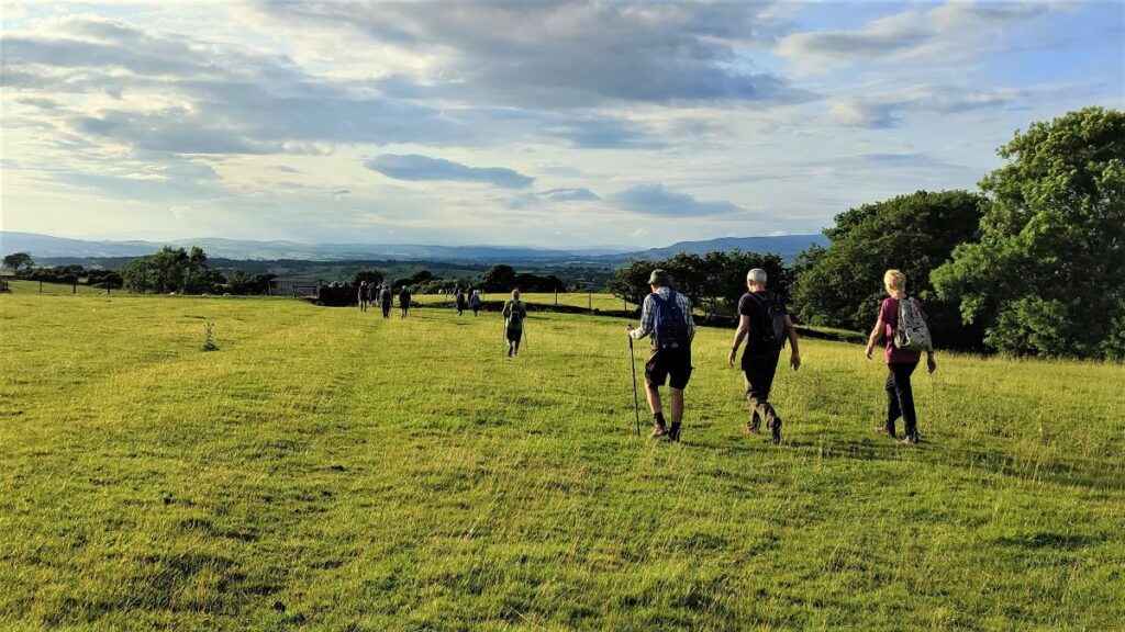
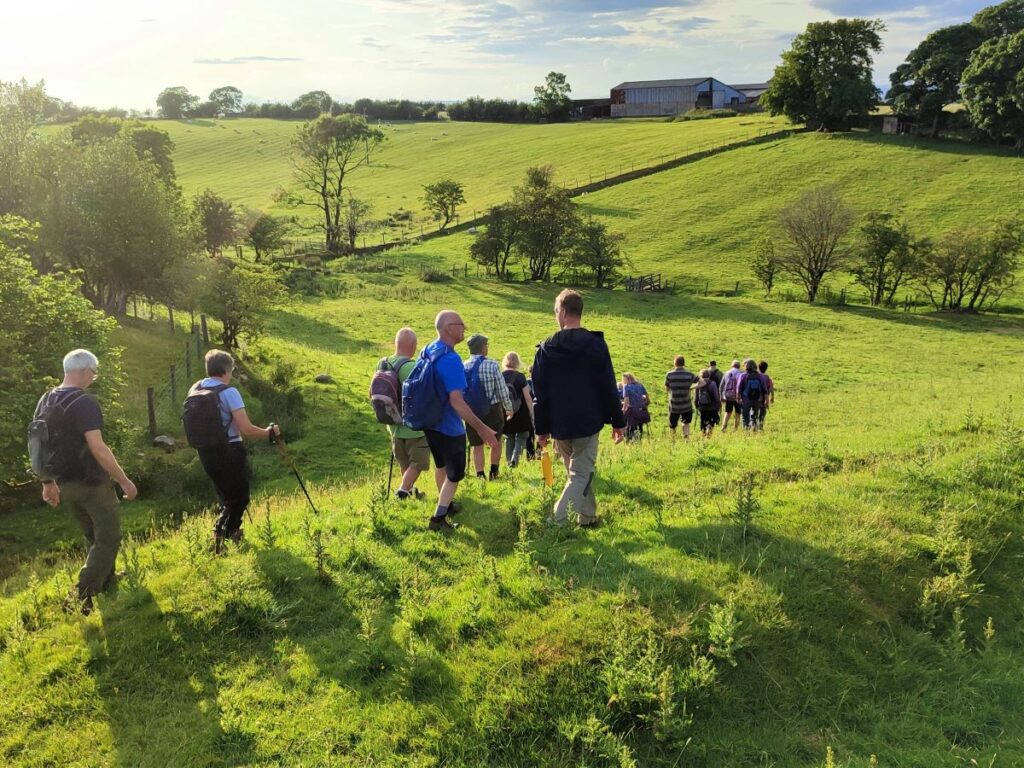
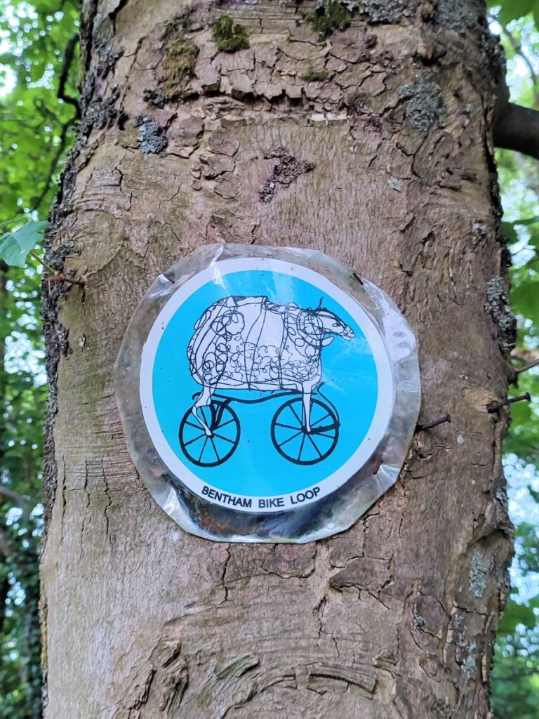
This easy route – ideal for a summer evening stroll – starts from Bentham and heads into open countryside to the South of the town, passing Lower Flannagill before entering Lancashire at Moorlands. We then go via Fleet House to Whitepits Lane, and then follow County Beck, which marks the county boundary, up to Oakhead.
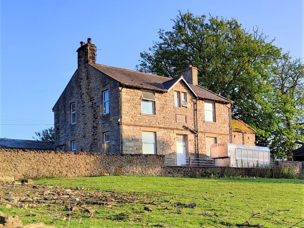
We head west for a while before passing Oak Bank on the way to Mewith Lane and the County Beck again. We follow this – still in Lancashire – until we get to Kirkbeck where we cross back into Yorkshire, and head across fields back to Bentham.
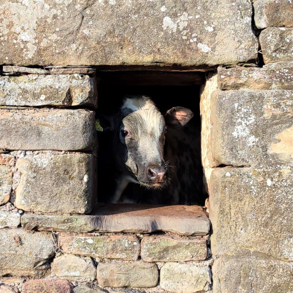
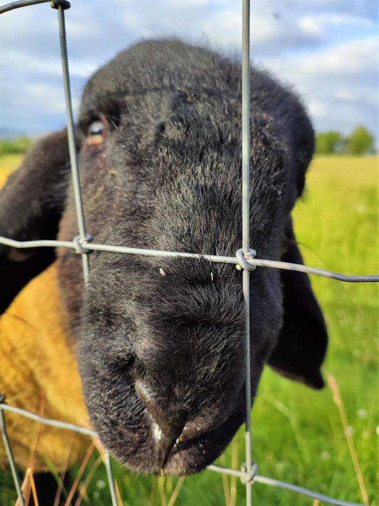
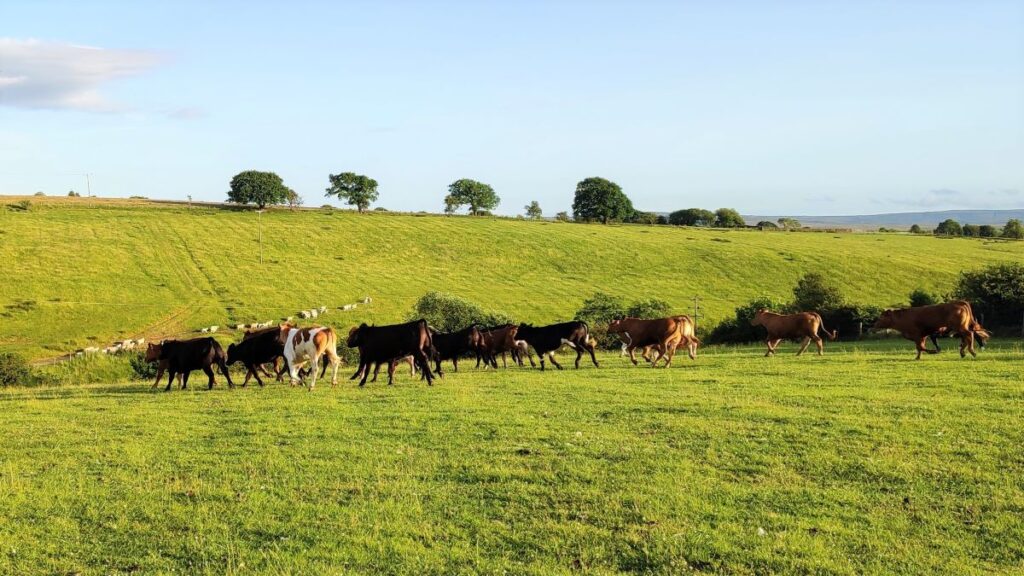
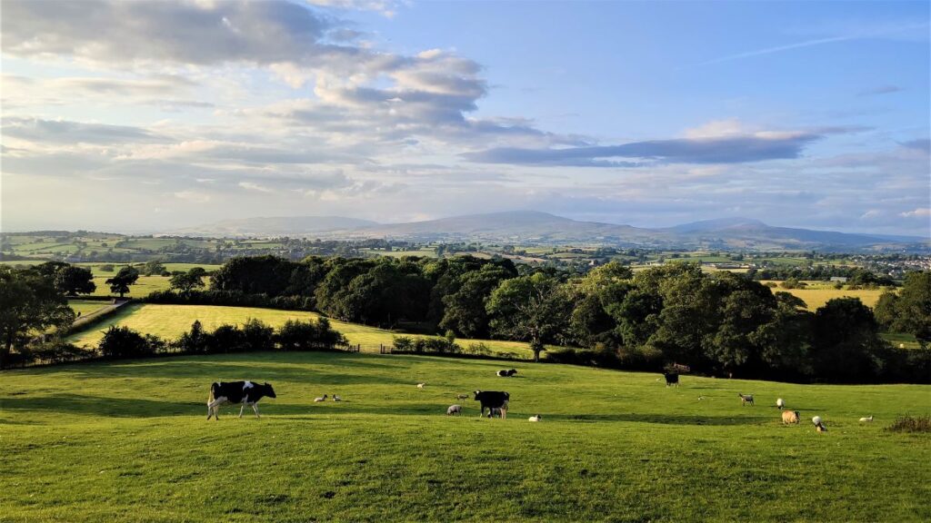
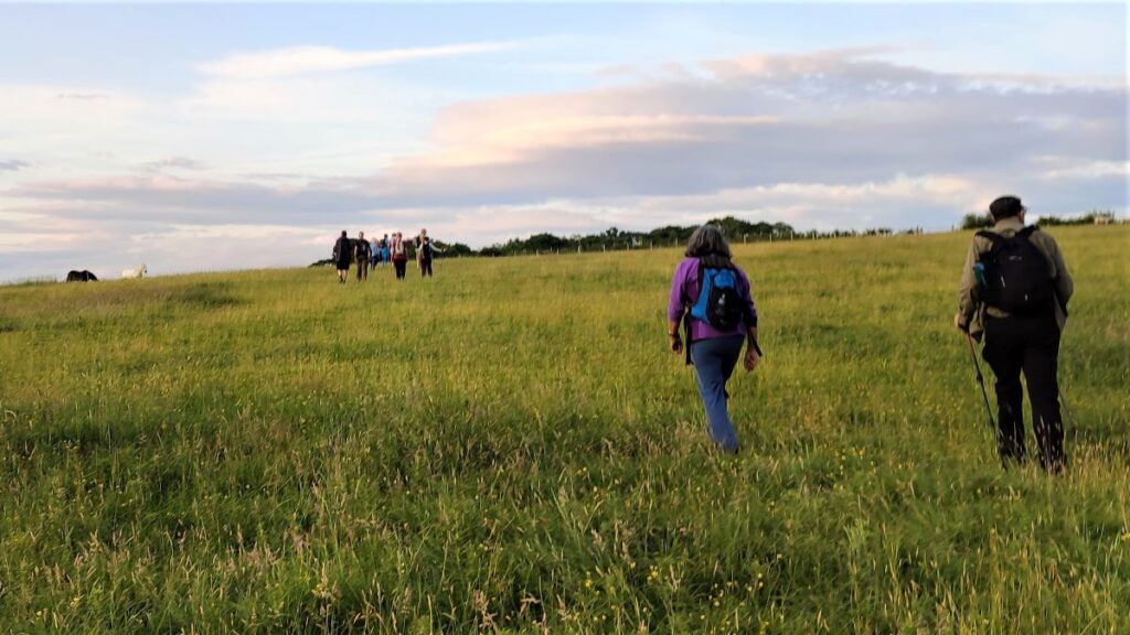
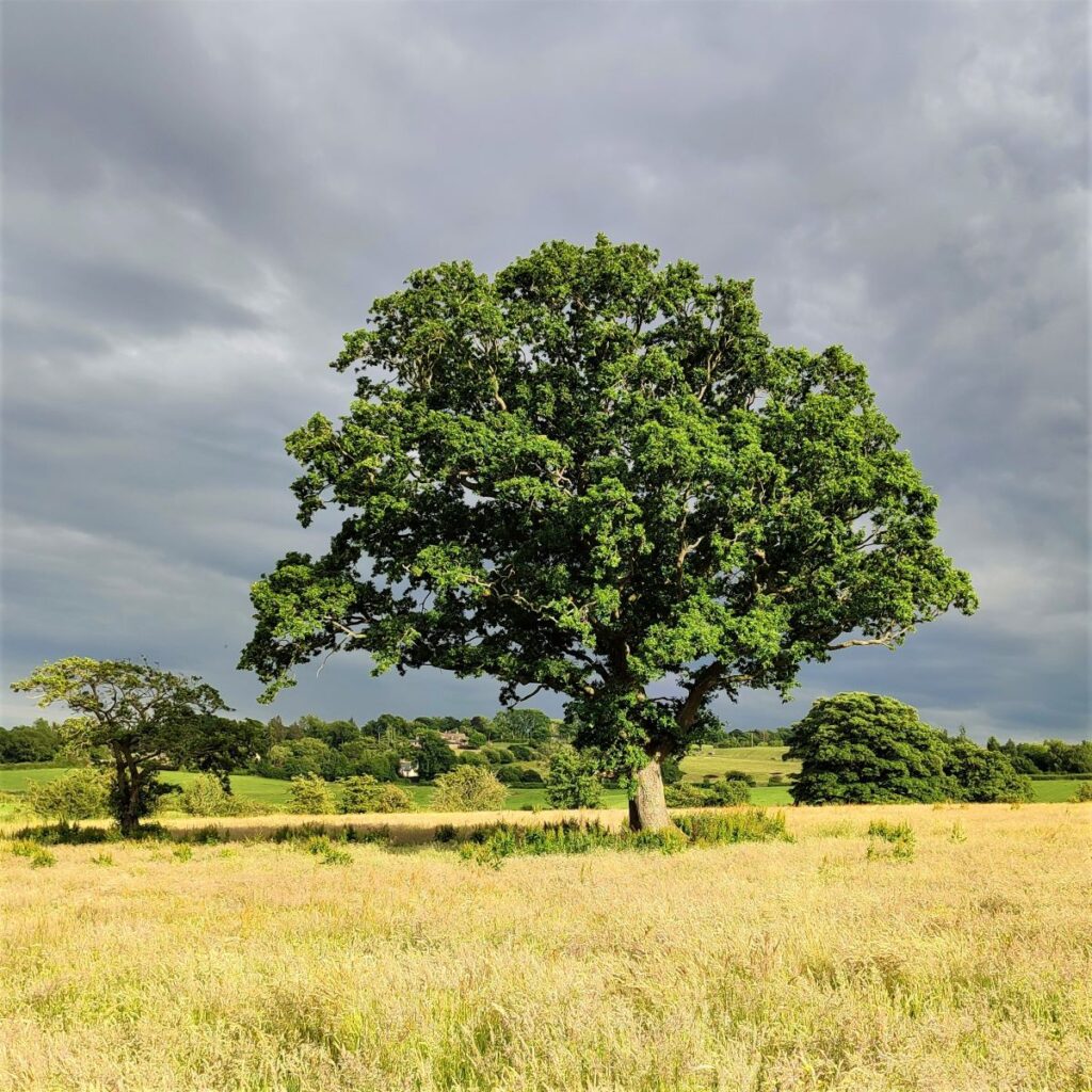
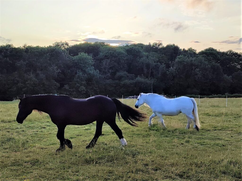
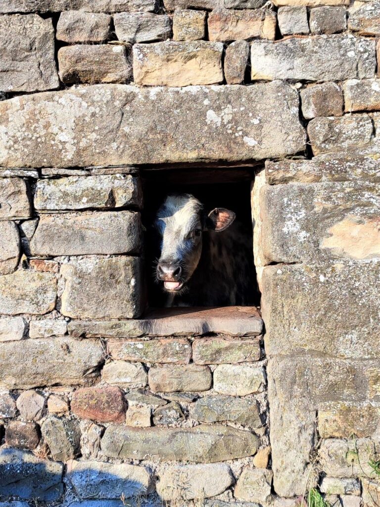
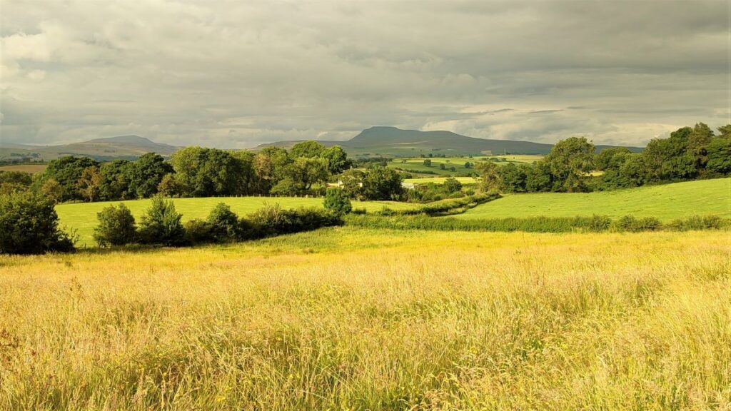
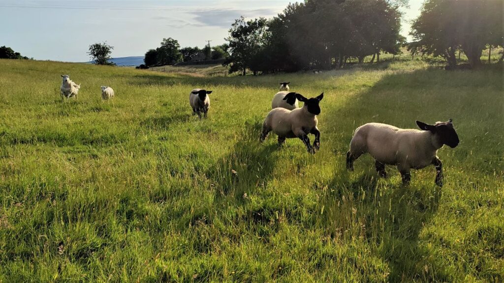
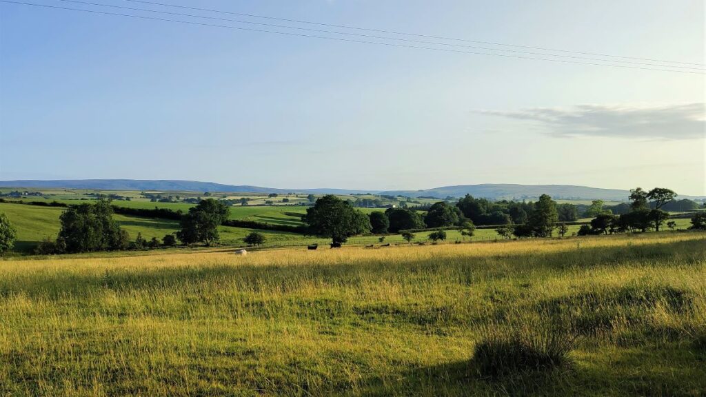
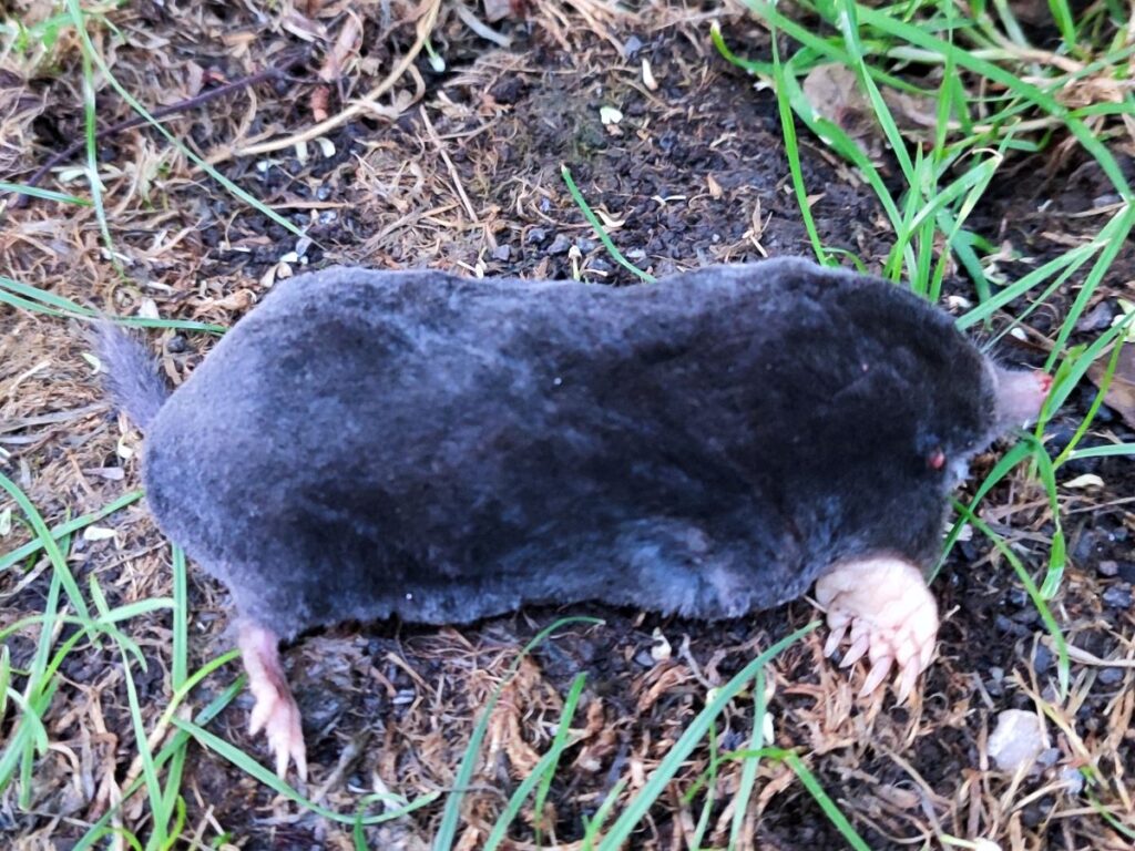
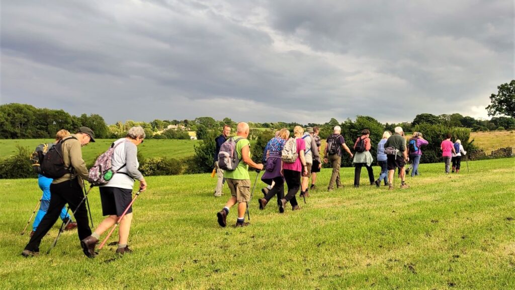
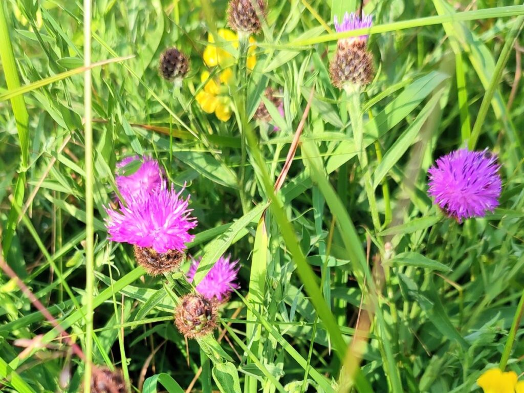
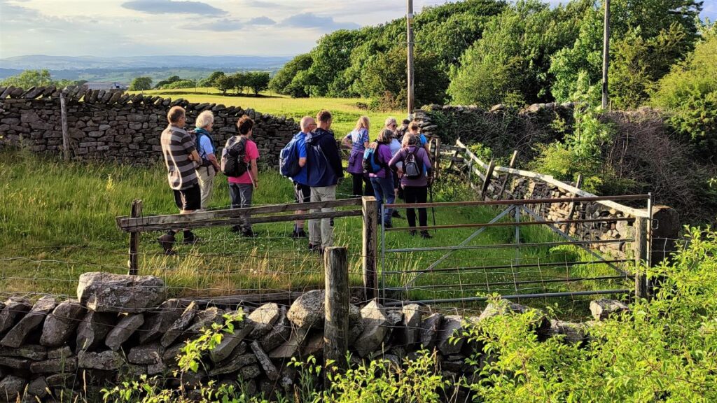
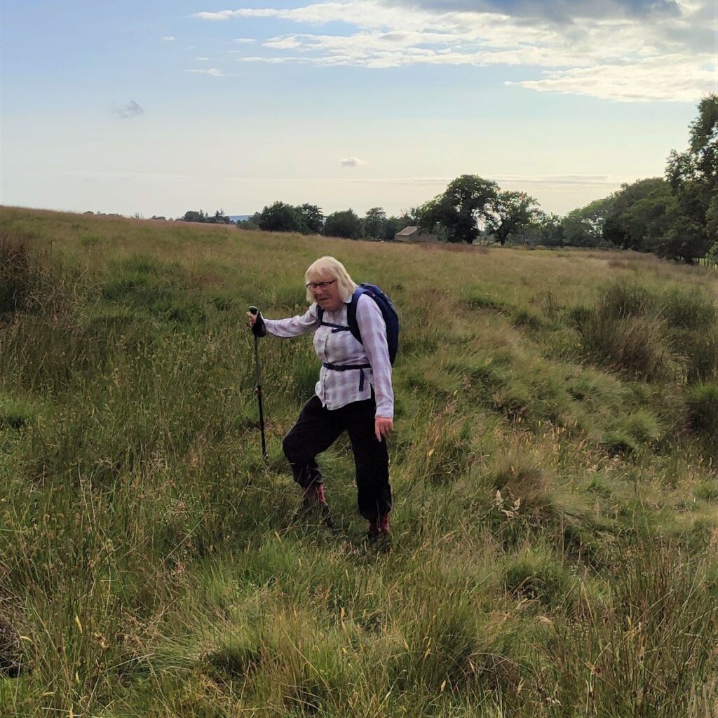
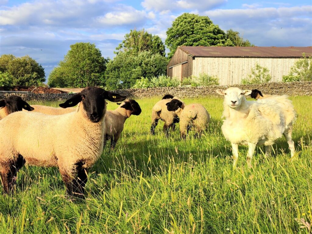
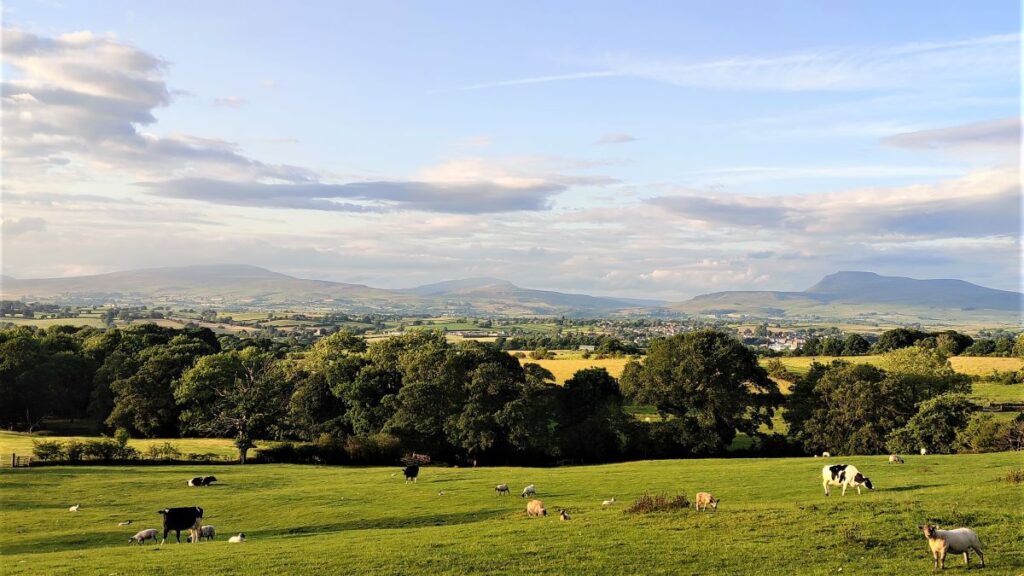
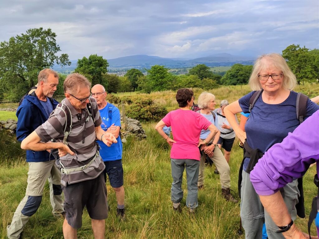
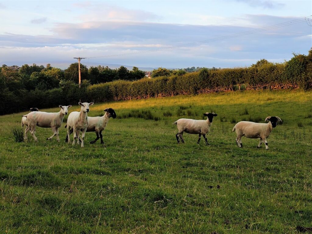
This walk offers a variety of excellent views, wild flowers, glimpses of old mining activity, and lots of livestock. There are no steep climbs, but sections have the potential to be boggy after wet weather.
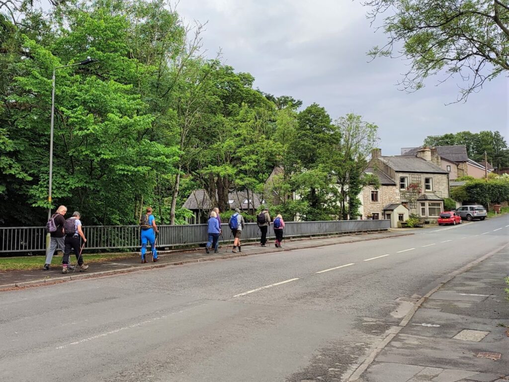
We start at Bentham Bridge; where Station Road crosses the Wenning. If you are visiting, and are using Satnav then the address Station Road, or the postcode LA2 7LT should work. If you are using a map, then the grid reference is SD66766879, whilst the what-3-words tag is swung.tricky.upward. Parking at the roadside is obvious and always available.
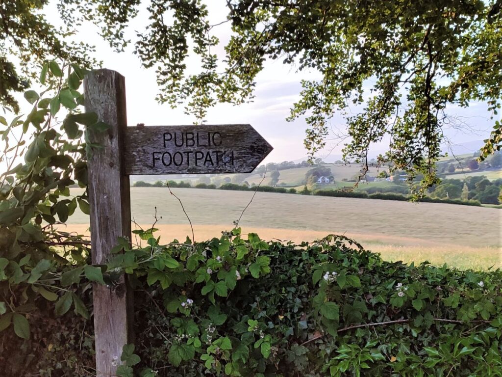
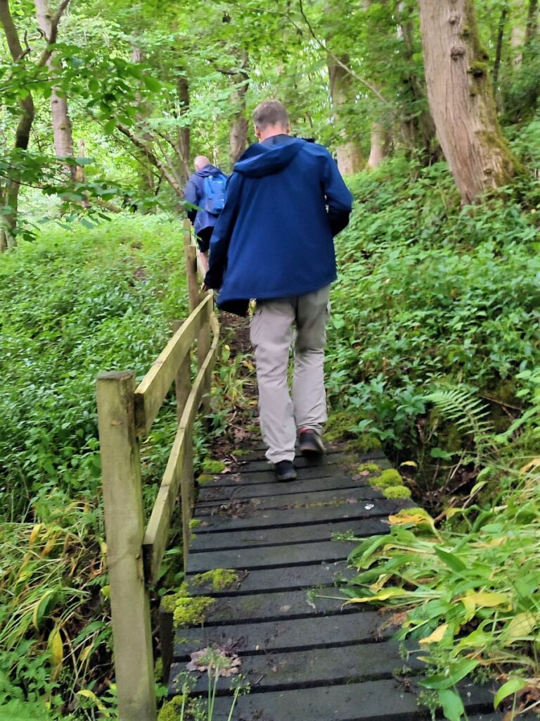
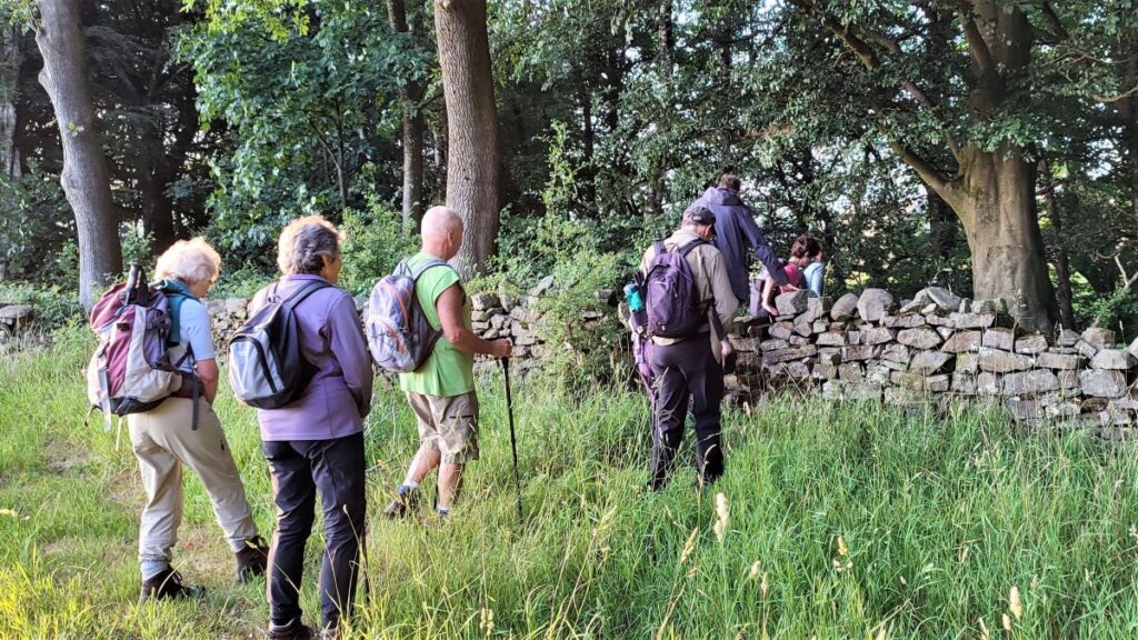
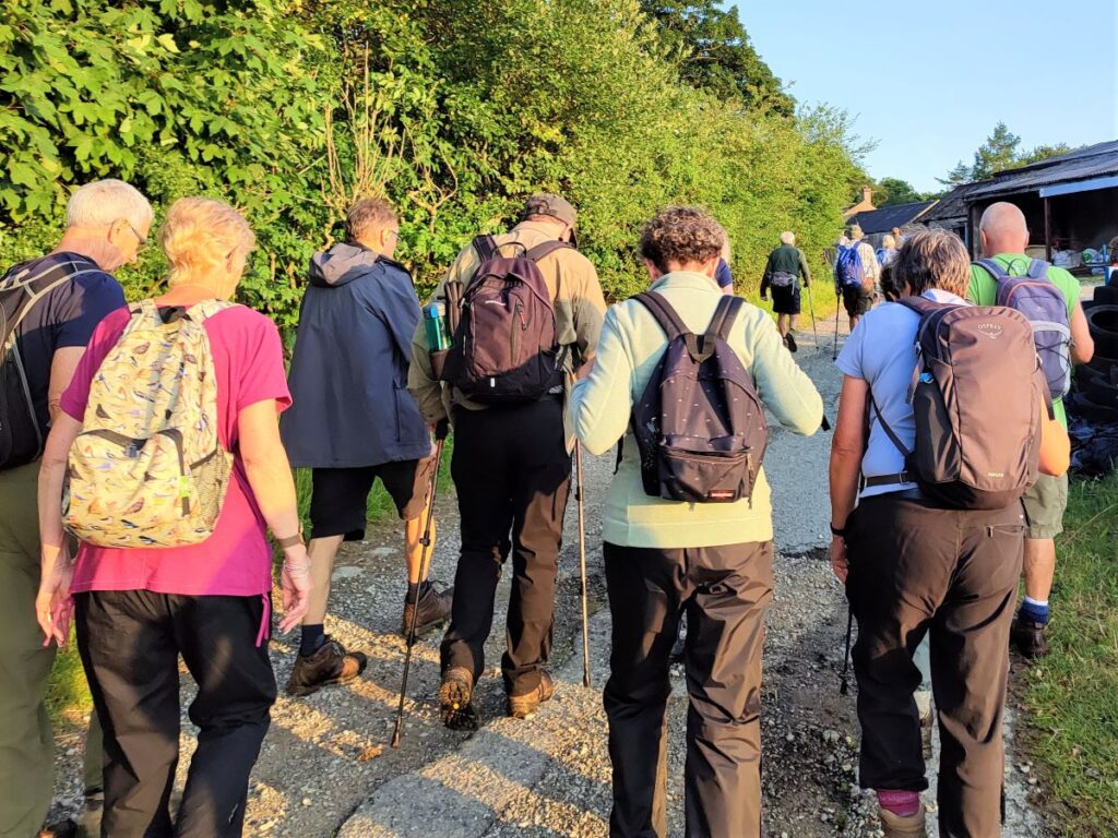
A word of warning about this walk: there are a great many paths in and around Bentham, and although we have tried to describe them as carefully as possible, it only takes one mis-step for the rest of the instructions to make no sense. We recommend therefore that you follow the route on a GPS device in addition to following these notes.
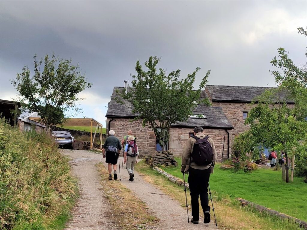
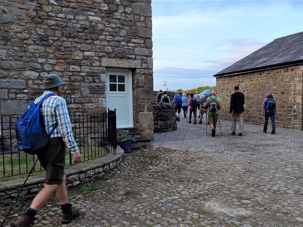
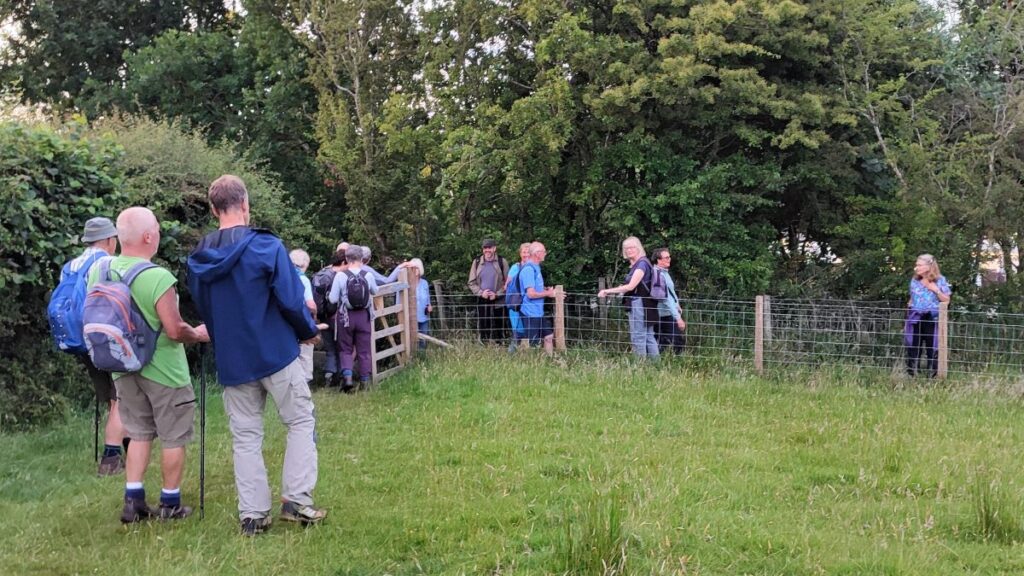
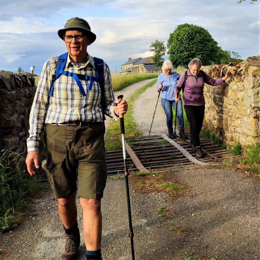
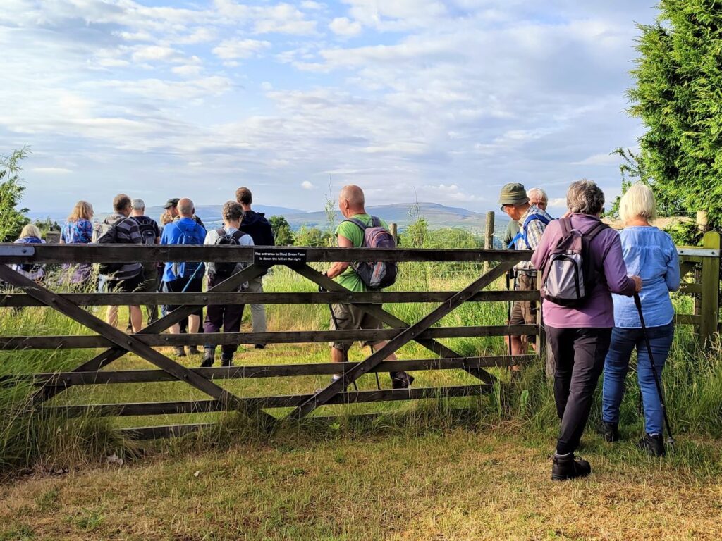
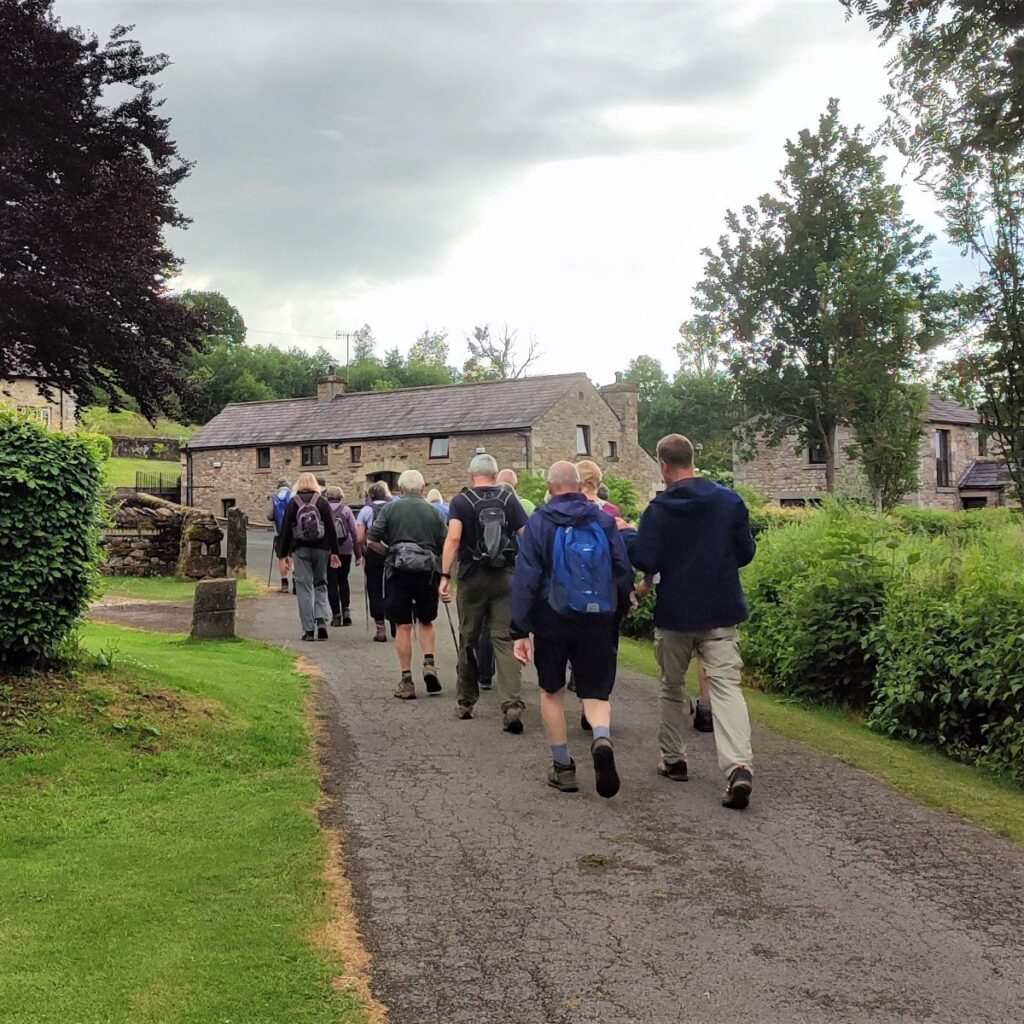
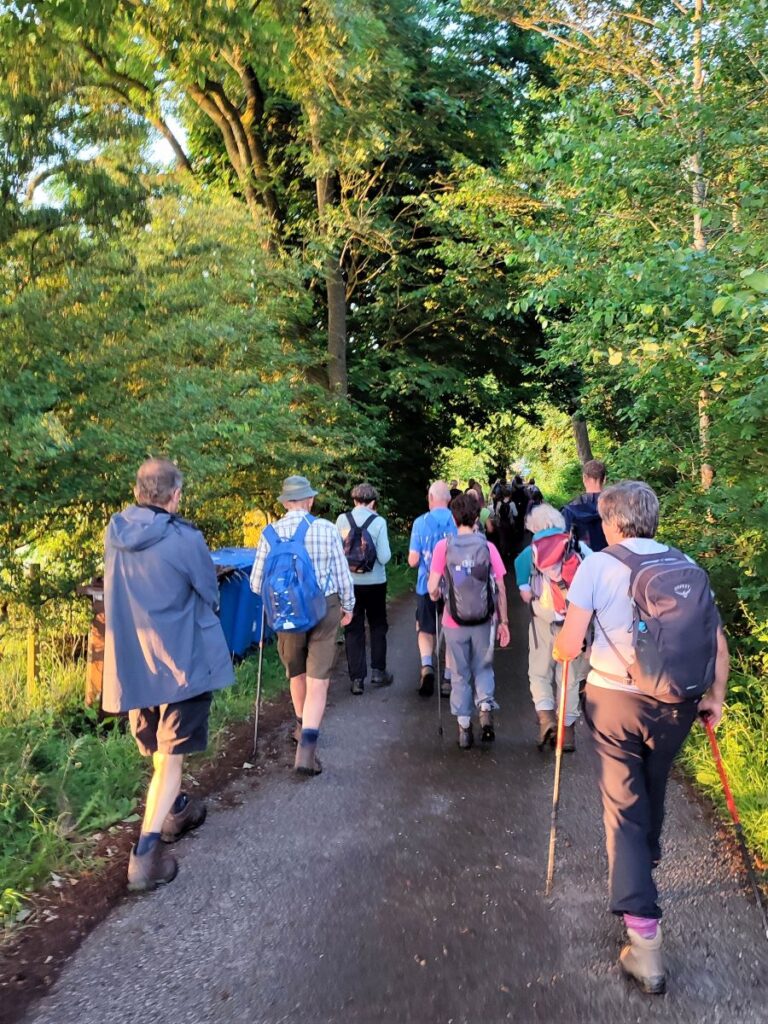
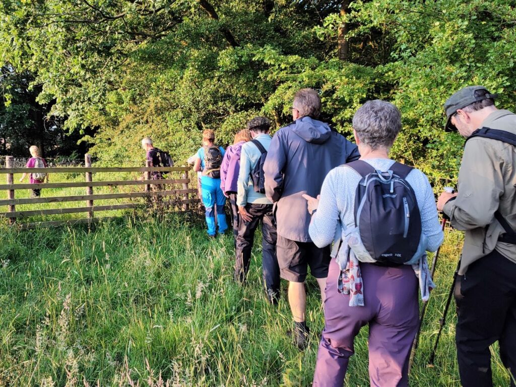
We start by heading across the bridge, and to the entrance to the caravan park – the public footpath coincides with the access road. Notice that there is a permissive footpath through the woodland at the edge of the river. This is a tempting path but save that for another time and continue along the road until you see a group of houses on the left – just after the road crosses a small stream (Moulter Beck).
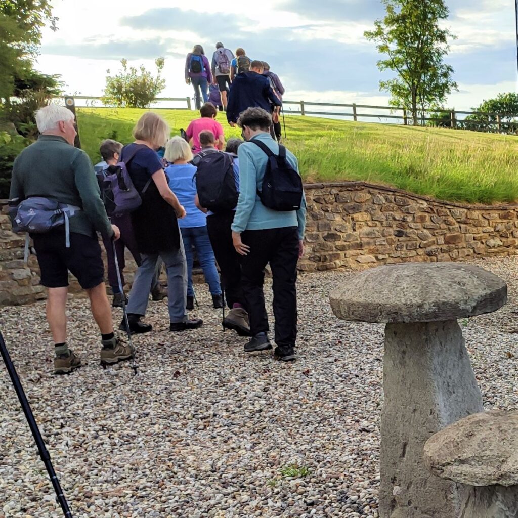
We head up between the houses to find a stile onto moorland at the rear of Moulterbeck House, and having crossed the stile we head left, hugging the rear boundary wall of the property.
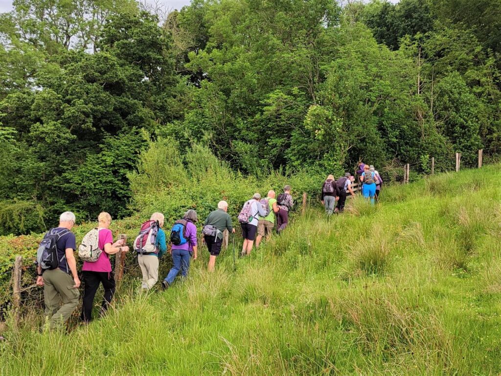
This brings us to the corner of the field where we enter dense woodland through which the beck that we crossed a few minutes earlier runs.
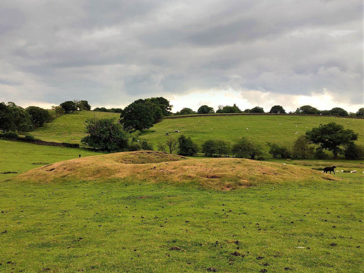
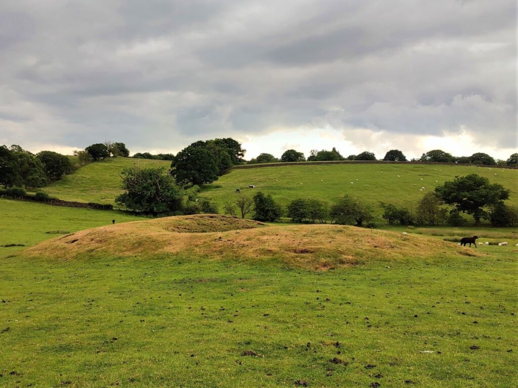
The path is clear, and heads uphill through the woodland to cross a wooden footbridge, and then when we exit the woodland, we head slightly to the right to cross an open field where we see evidence of spoil tips around long disused bell pits, where coal was once mined.
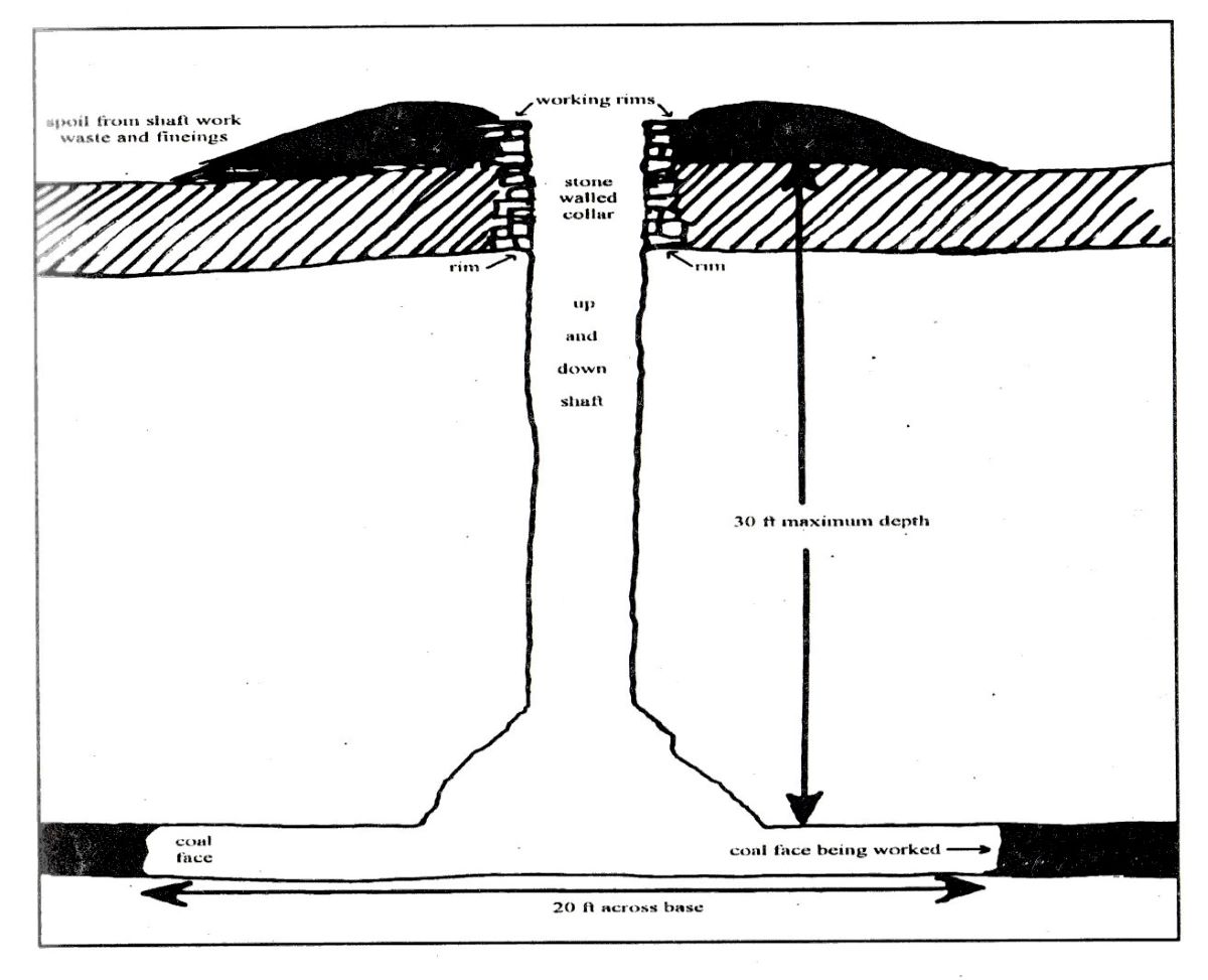
There are a number of sites in the local area where coal mining took place. These range from the well documented and large scale activity at Ingleton through to small scale local extraction typically involving bell pits.
A Bell pit is a simple shaft, usually no more than 30 ft deep which sinks to the coal seam. As the shaft is dug, the spoil is tipped around the outside creating the telltale landscape traces we saw on the walk. Coal is then mined along the seam and returned to the surface via the access shaft.
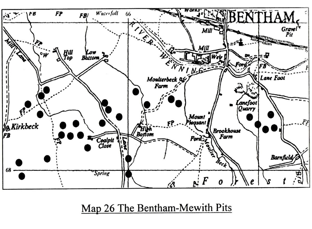
There is a book “Coal Mining in Lunesdale” by Philip J Hudson – reference copy in Bentham Library – which shows a map with locations of identified mining works in the Bentham area. This is almost certainly not complete though, as Bell Pits aften subside after abandonment and agricultural use of the land may cover any traces. Industrial heritage fans might wish to explore further.
Evidence as to the date of the pits is scarce, but Hudson notes that checks on Parish records and census data picks up persons known to have been associated with coal mining to have been in the area between 1760 and 1841.
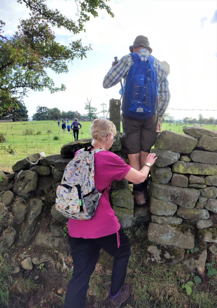
Moving on from the bell pits, we head west across the fields toward the farm at High Bottom, crossing a somewhat fragile stile as we go – care is needed here until a repair can be completed.
After the stile, we meet another path which also comes up from Moulterbeck House – without the bonus of seeing the pits though. We take this path round to the left, so although we see it clearly in the distance we do not go as far as the farm at High Bottom.
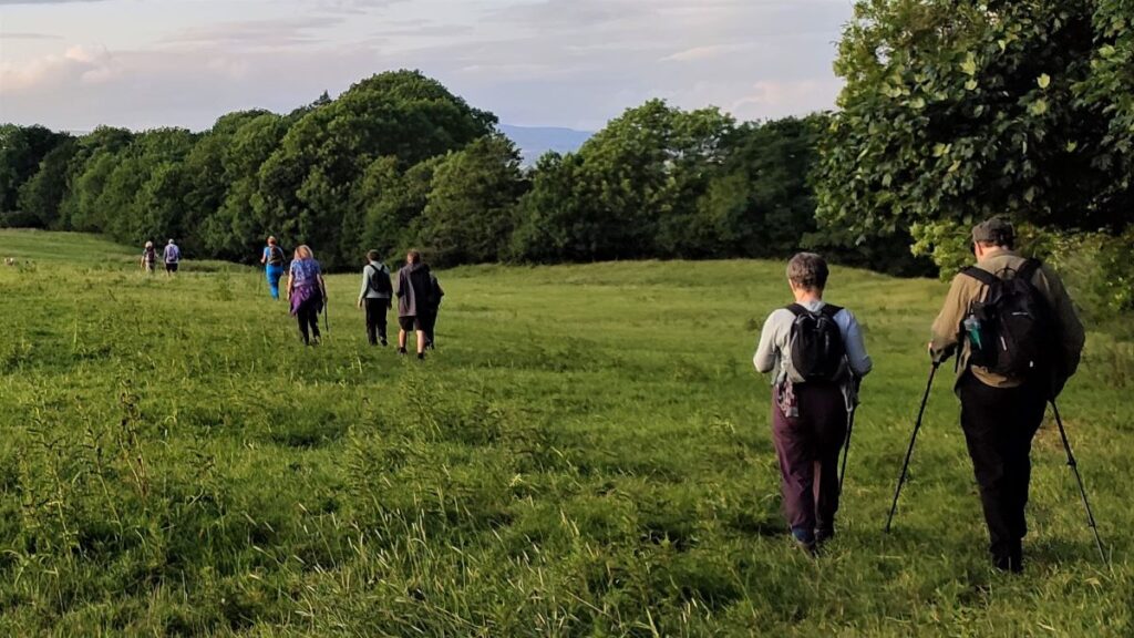
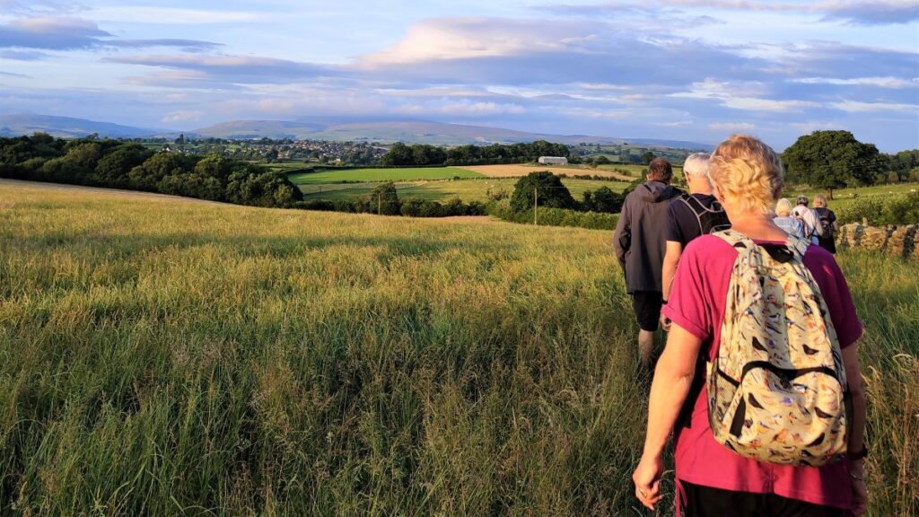
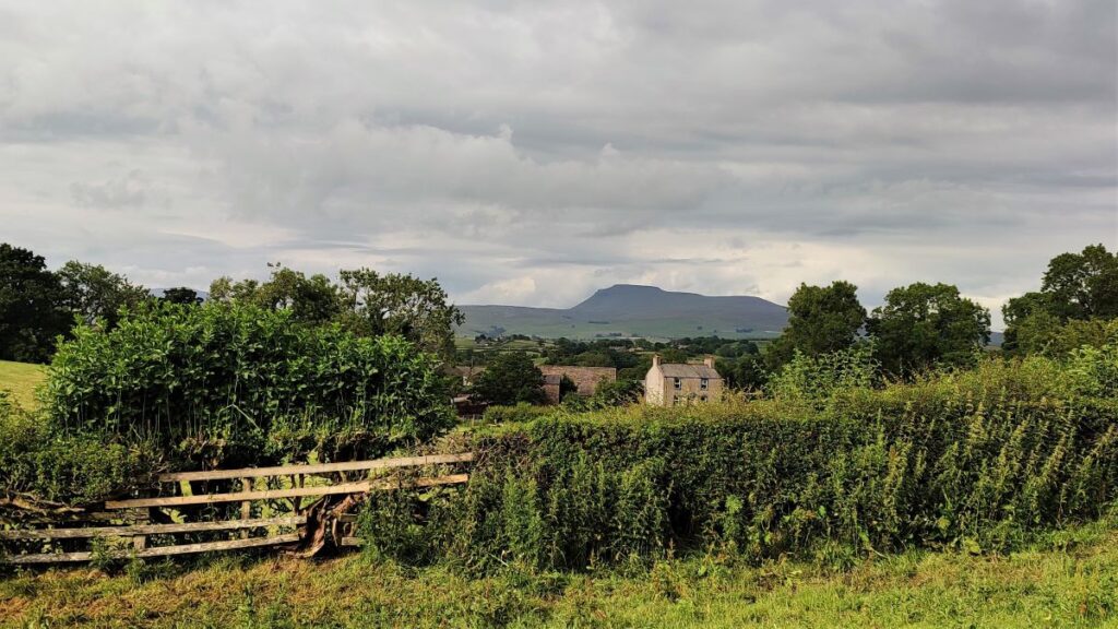
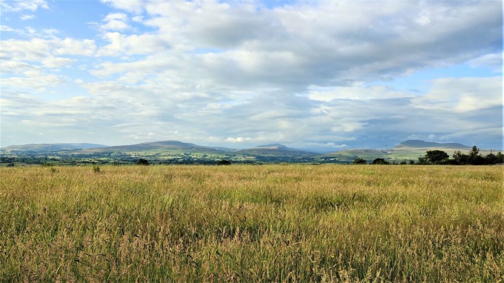
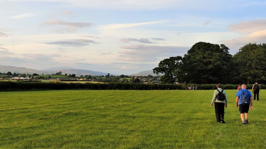
The path we are now on follows the tree line at the edge of the field for a while, and then turns right – we are now heading East as if going back to the Slaidburn Road. As we progress, we start to get very good views over toward Ingleborough and we soon have the terrace of cottages on the road in sight.
We then arrive at a point where again a number of paths meet. We need to head right (South) using the large modern farm building at Bowker House as a landmark – we are heading for Mewith Lane now. There is a second, path heading more sharply right which is less well walked – if you take this by accident, it’s not a big problem – you will still end up at Mewith Lane, via Belle View Farm – if so, just head left down Mewith Lane to get back on track.
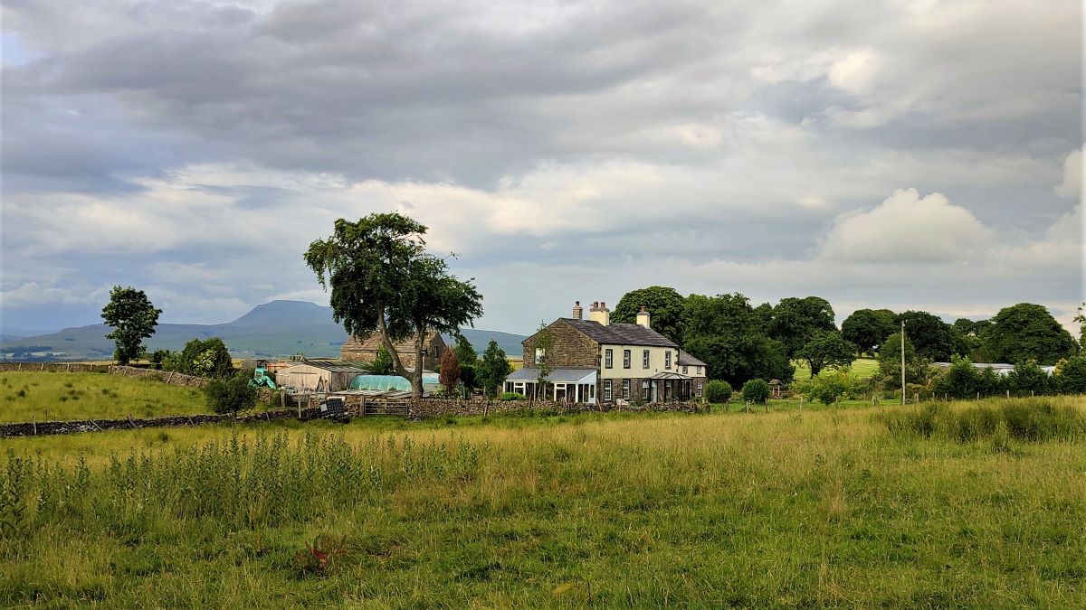
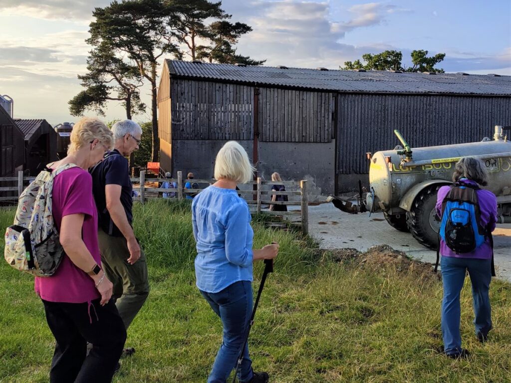
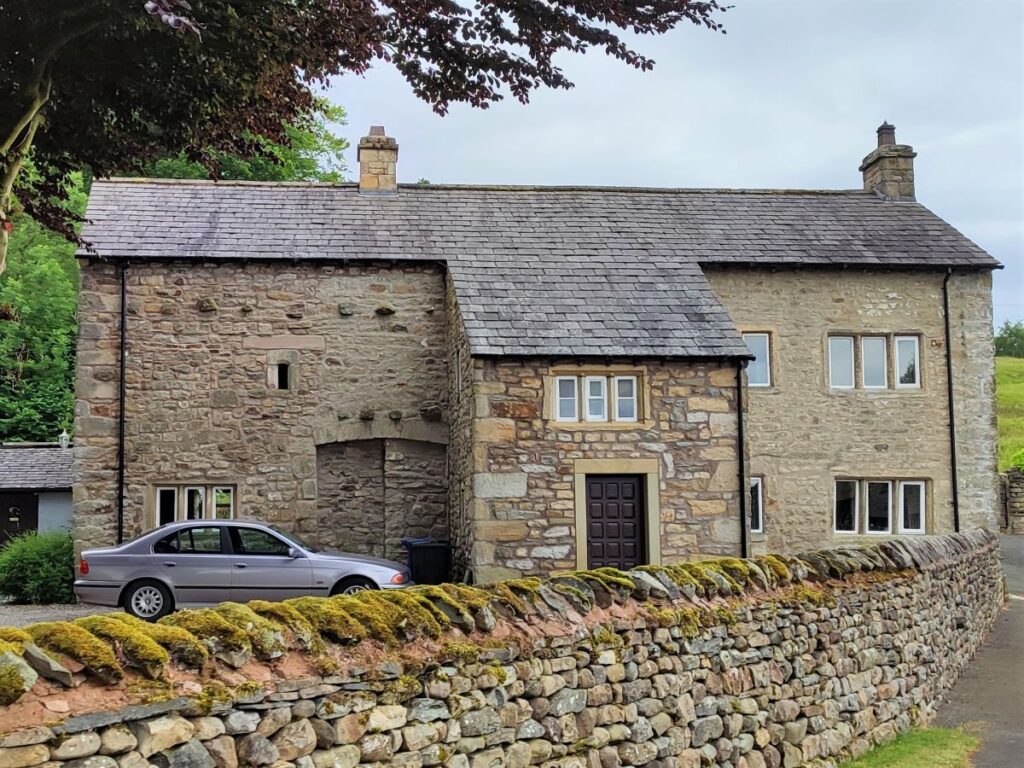
As we approach Bowker House, head to the left of the sheds and then pick up the farm access road which goes up to Mewith Lane, where we cross to find a gate which gives us access to a choice of two paths. We take the one heading right which takes us southbound with a barn conversion at Scarfes as our target.
The path crosses the front of the house and then round the right hand side of the house to a stile onto open moorland.
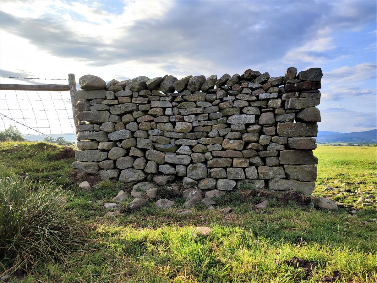
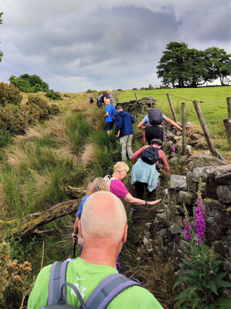
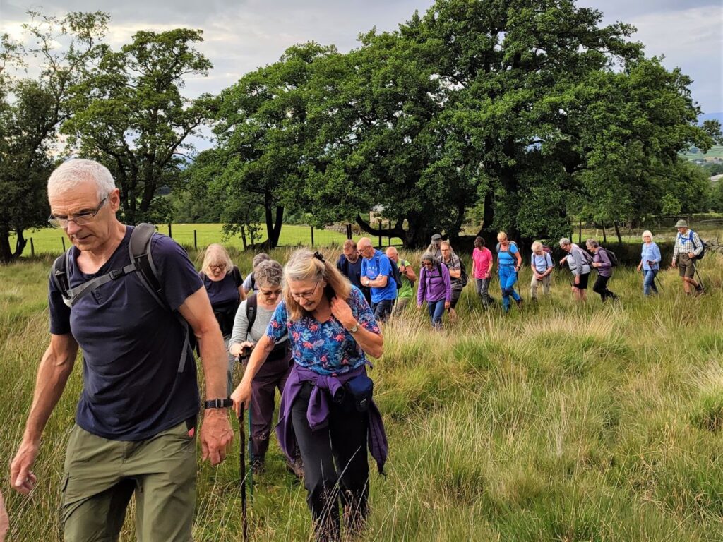
We now cross a small stream and head left following the drystone wall uphill – this area has the potential to be hard going after wet weather, and although the best route was along the side of the wall when we completed the walk, conditions may require you to improvise.
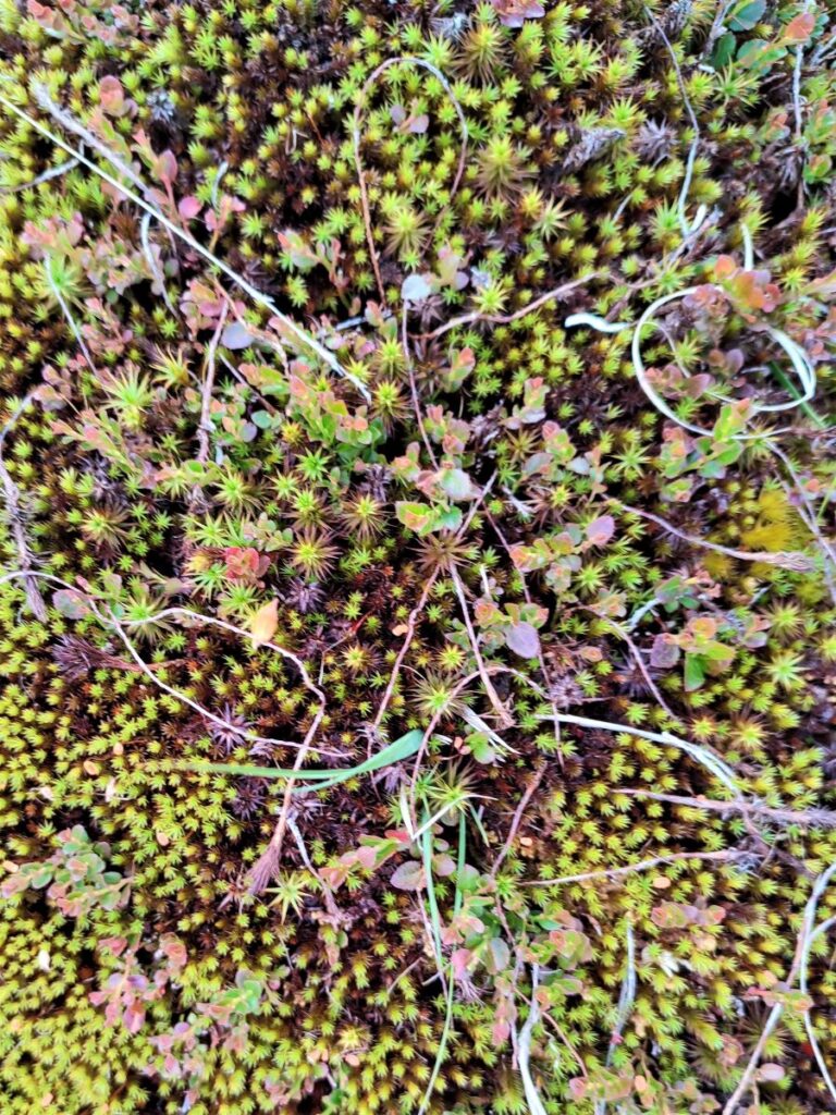
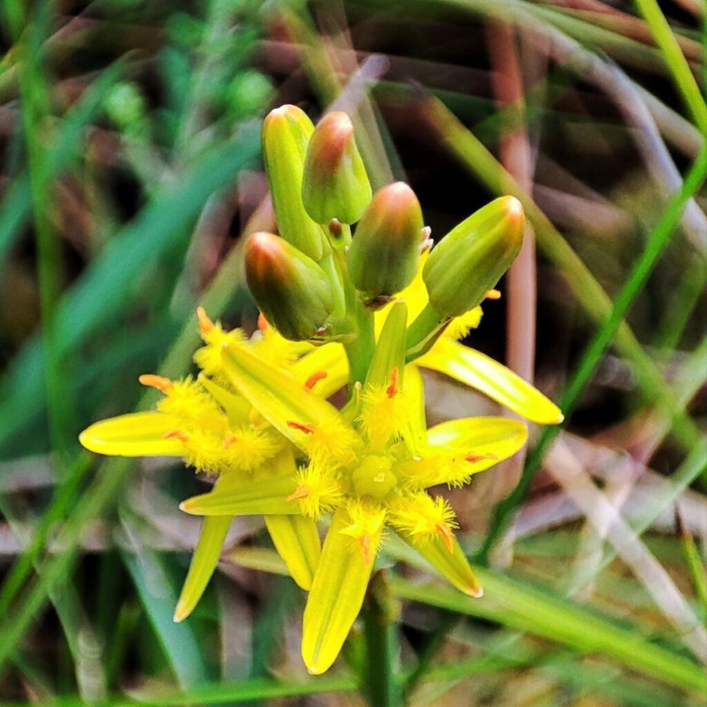
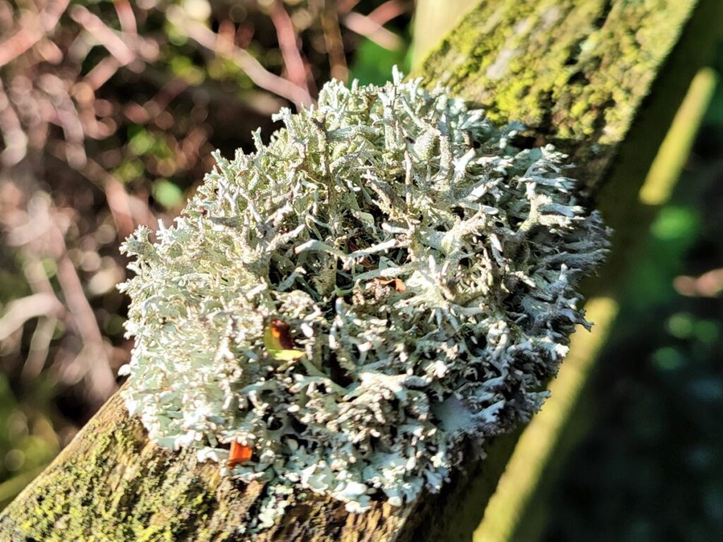
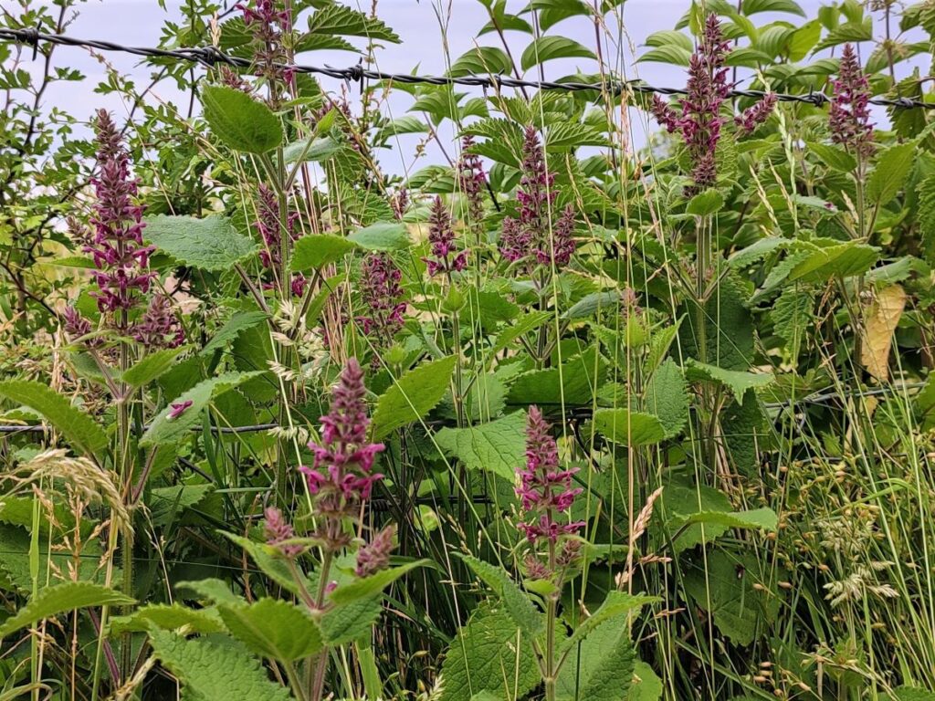
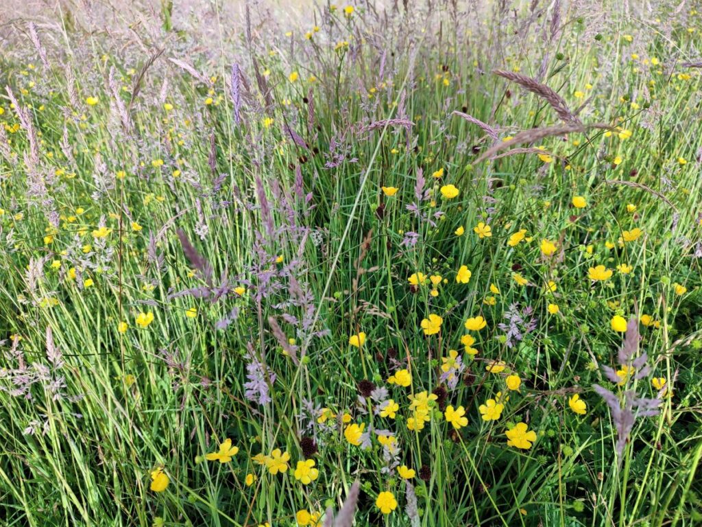
At the end of the wall, we head slightly to the right heading toward the farm at Moorlands. The area we are now crossing is not grazed and so has had the opportunity to be populated with a wider variety of flora and fauna than is typical – so expect to see many flowers including orchids and Bog Asphodel – the yellow flower pictured at the top of the notes.
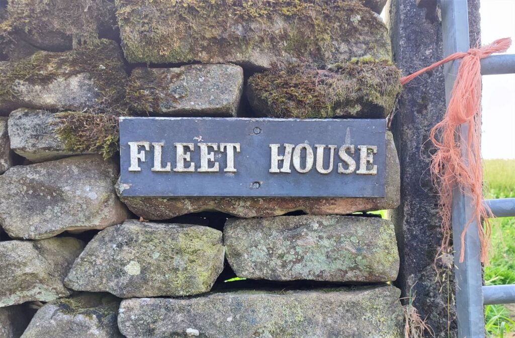
As we approach the farm buildings at Moorlands, the path branches again – we need the right hand route which passes the right of the farm, before veering further right and heading toward a barn conversion at Fleet House. This is where we enter Lancashire, and it is worth noting that the left hand fork at Moorlands takes us to the Great Stone of Fourstones a local landmark that could be added to this walk quite easily.
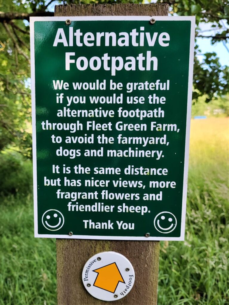
Our onward path goes across the front of Fleet House and then down the access lane to meet a minor road. This is Whitepits Lane, and we head right along the lane for a short while looking for the footpath sign on the right which takes is through a gate and down to the farm at Fleet Green.
Here we divert from the official path a little – the owners of the farm have created an alternate route that avoids the farmyard, farm dogs and any machinery, and in doing so take a pleasant path through flower meadows and very friendly sheep.
Although there is a legal right to use the “official” path, the alternative is highly recommended.
We are now heading North. We are on the return journey and are just a few metres from the County Beck – still on the Lancashire side. We follow the path until we reach a stile onto a track, with the path continuing opposite.
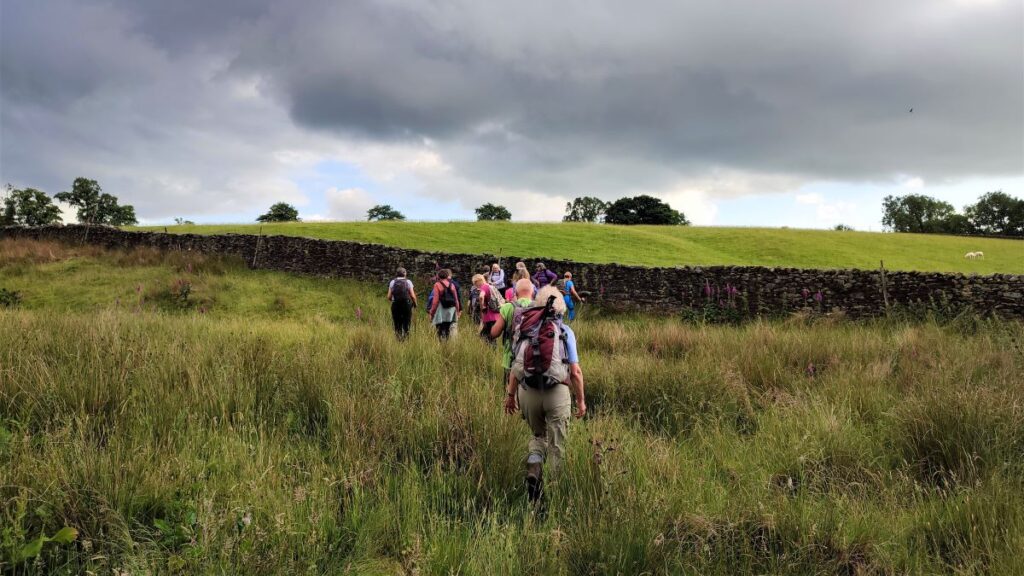
We follow the path through the field – the county beck still over to our right – heading for a short section of drystone wall and a gate that is generally open. From here, the path forks yet again – we head slightly to the left beyond the wall such that we go downhill toward a flat bottom to the valley. There are so many paths here that the wrong route could easily be take, so the advice is to spot the two farms ahead. The one on the right is Oakhead, whilst the one further to the left is Oakhead Bank.
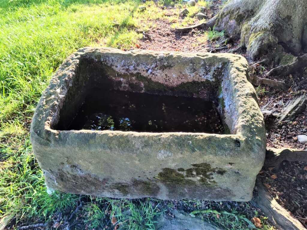
We need to aim directly between the two, where in the corner of a field we see a stone trough and a stile which leads us onto a path along a field boundary. We follow this path for a while now, passing through several fields – our next landmark is a junction with another path crossing ours.
At this point we take that other path to the right, crossing the field toward Oak Bank Farm. This is another location where a slight deviation from the “official” route is warranted. The OS map shows the path heading through farm buildings via the left hand side of the farm. In fact, the easier route is to the right of the barn and then through a gate into the farmyard. We pass a barn housing livestock and then head down the access road to meet Mewith Lane again.
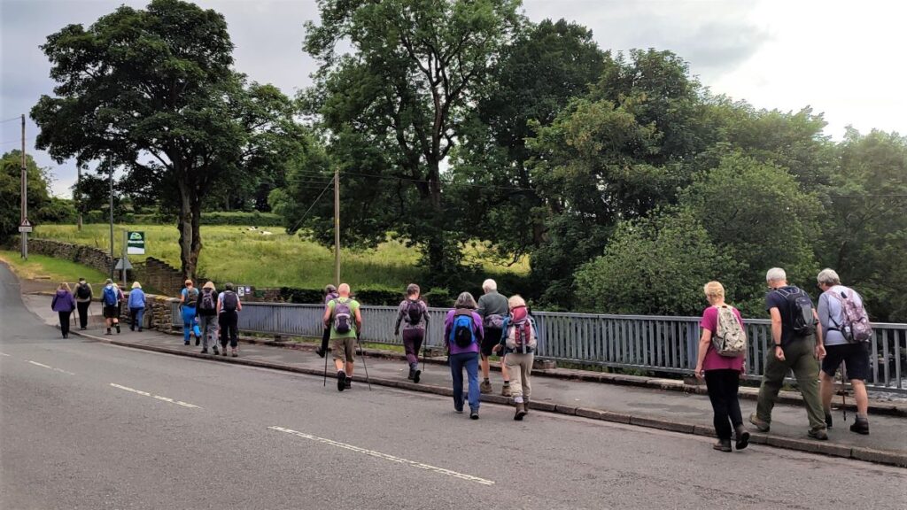
At the road, we head briefly right, and then see a footpath sign taking us back into the fields opposite. If we were to continue along Mewith Lane to the right, we would cross the road bridge back into Yorkshire – at County Bridge. Instead, we stay in Lancashire for a little while longer heading North along a field edge toward woodland.
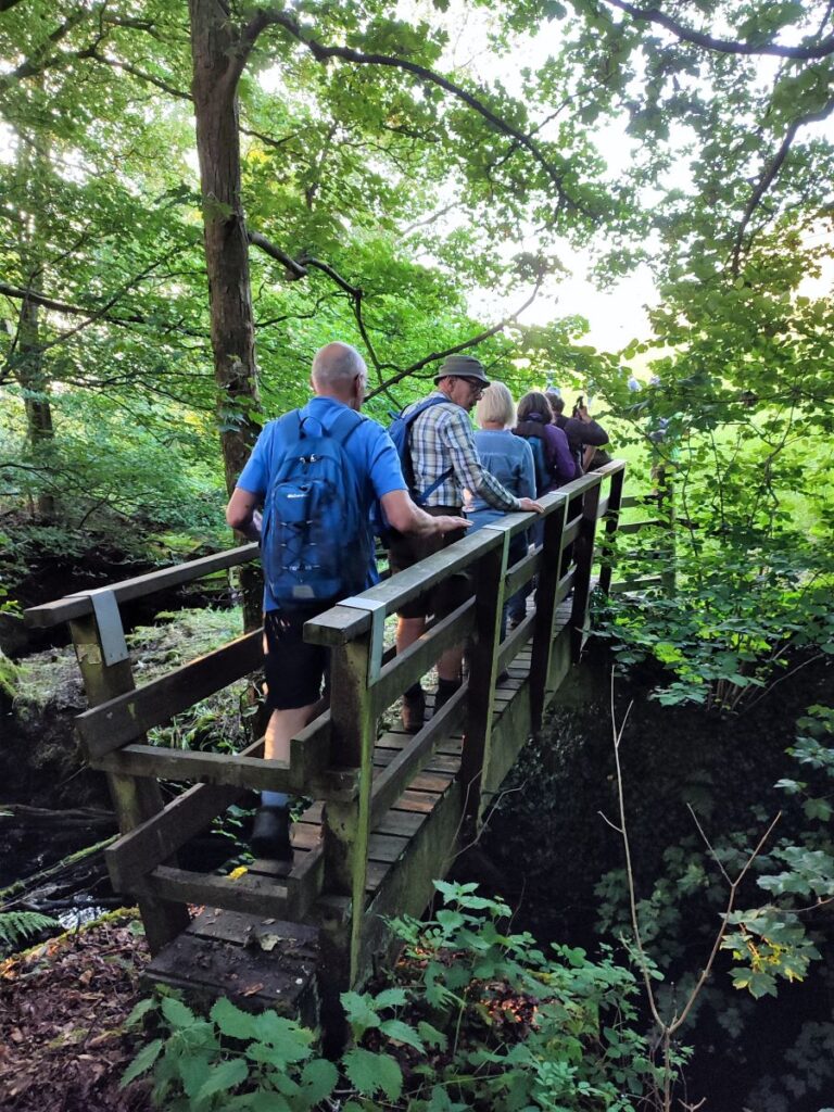
We enter that woodland and follow the path down to a wooden footbridge over the County Beck – here we re-enter Yorkshire and follow the path up to the farm at Kirkbeck, where we have another example of the better path deviating from the OS Map. The official right of way is though the farmyard, but there is a clear and preferable route around the left hand boundary of the farm which we recommend.
This brings us to the farm access road and here we turn right for just a few metres finding a footpath on the left which takes us around the edge of the field heading Northeast back toward Bentham. We stay on this path crossing three fields until we arrive at a road – this is Birkwith Lane.
Almost opposite is a track down to a cluster of buildings at Low Bottom. We take this route and as we approach the housing take the path between the houses and out into a field via a gate.
We keep to the left hand side of that field as we continue and soon see the wooden gate onto the path at the back of the caravan park. We follow this down and navigate our way through the caravan park back to the start.