Jump to . . .Step by Step | OS Map | Downloads | Gallery | Fly through
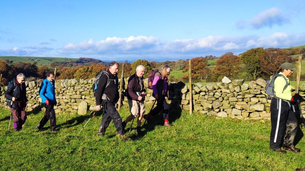
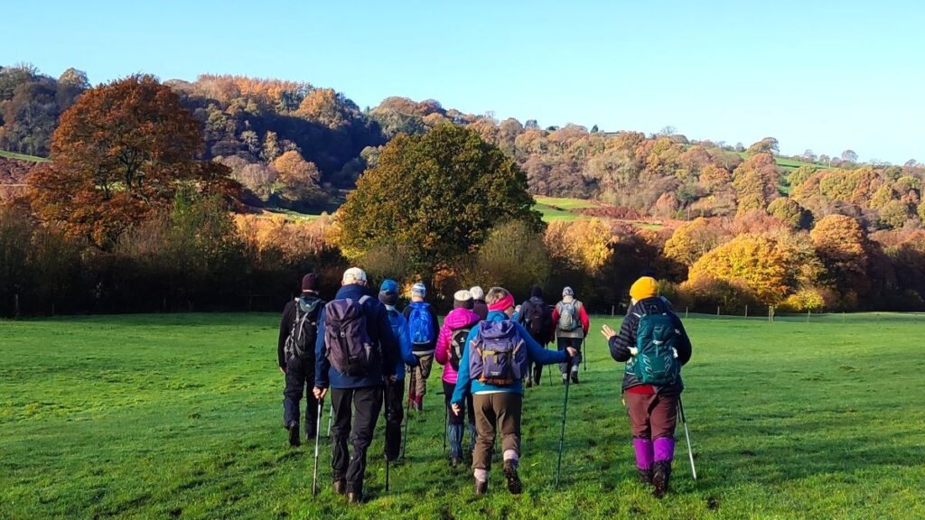
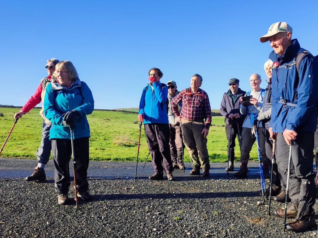
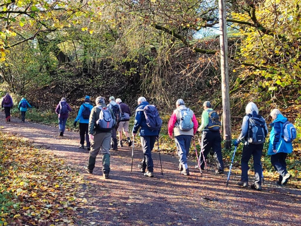
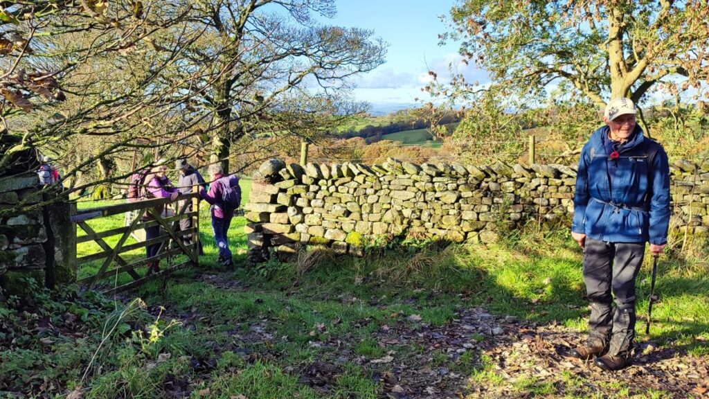
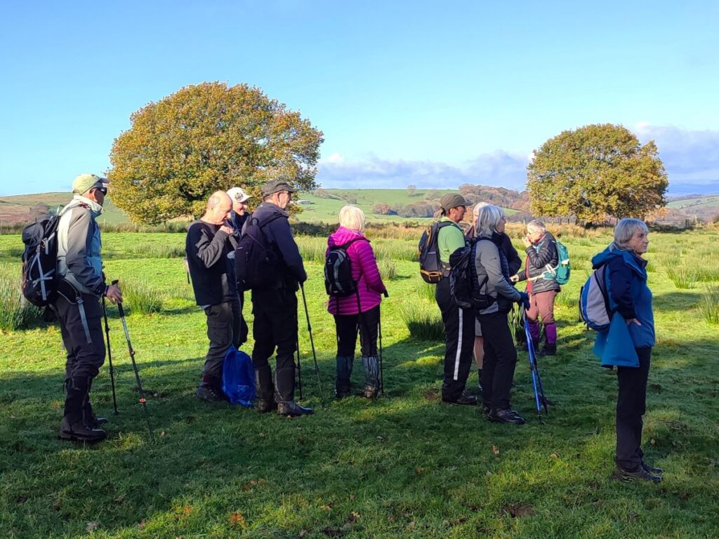
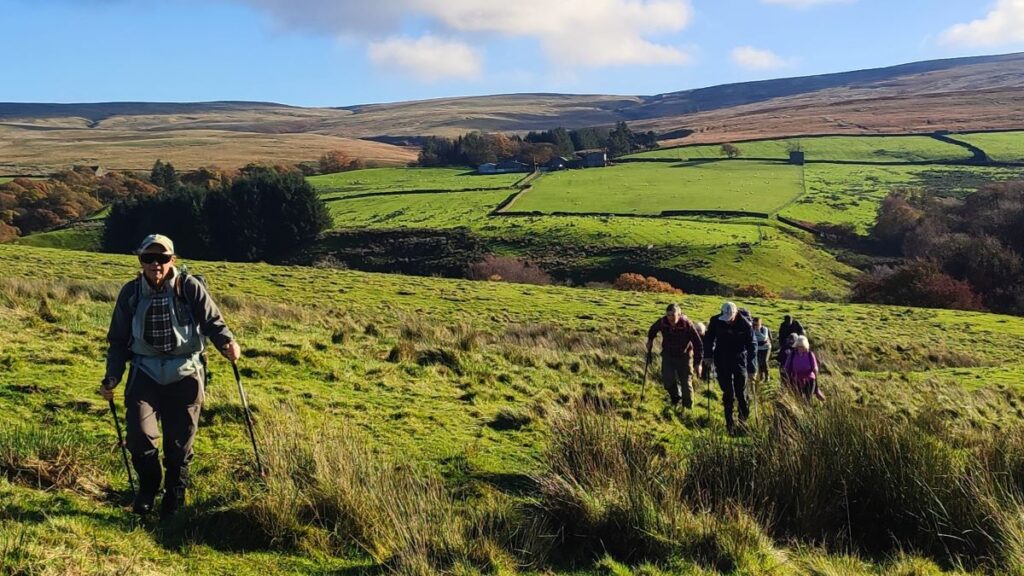
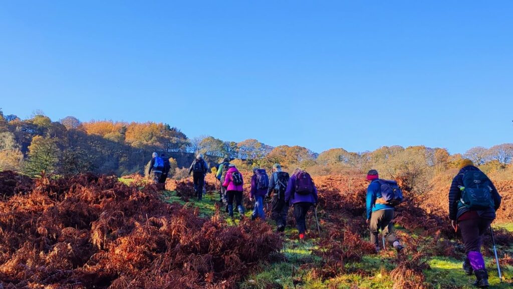
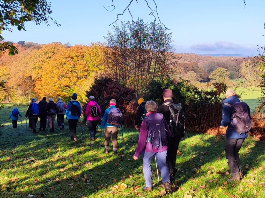
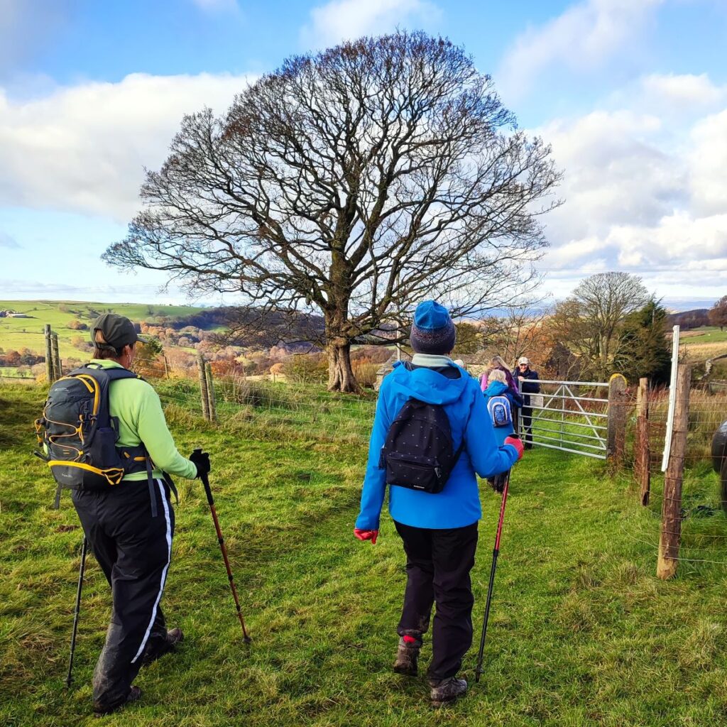
Members of the Bentham Footpath Group tend to consider the Yorkshire Dales, the Forest of Bowland, and the South Lakes as their walking territory. This relatively easy walk is at the North end of the Forest of Bowland and is very local to Bentham – so much so that many of the farms, and other buildings that we passed along the way hold important personal memories for those in the group lucky enough to be born and bred in and around Bentham.
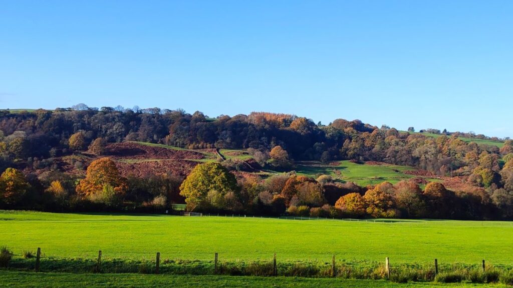
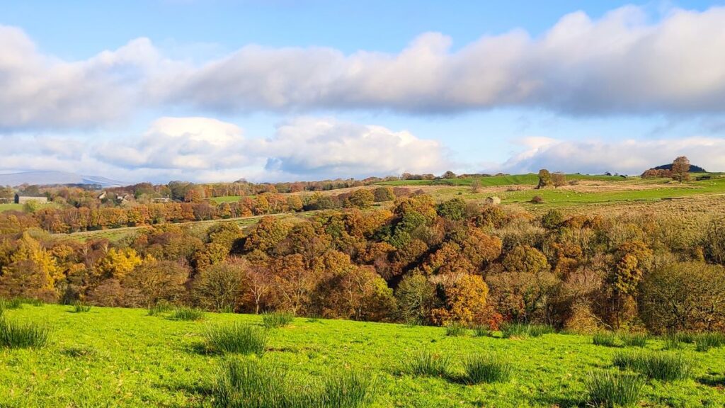
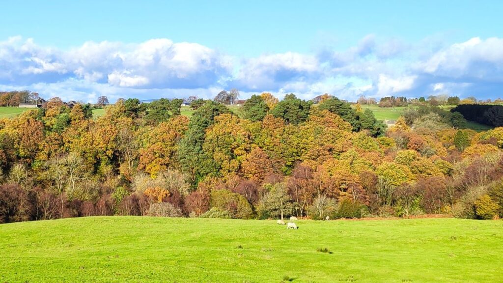
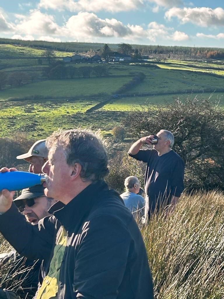
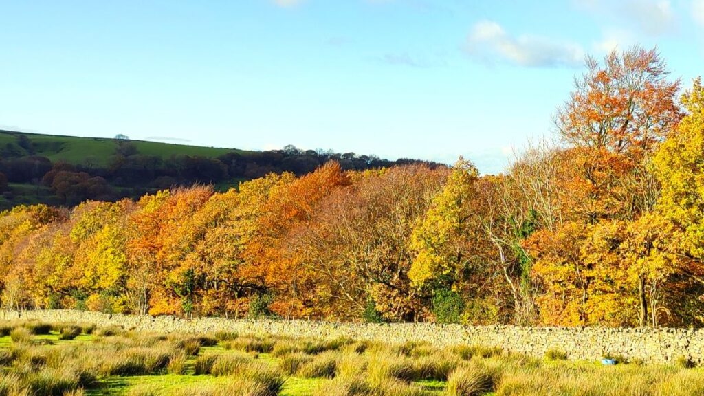
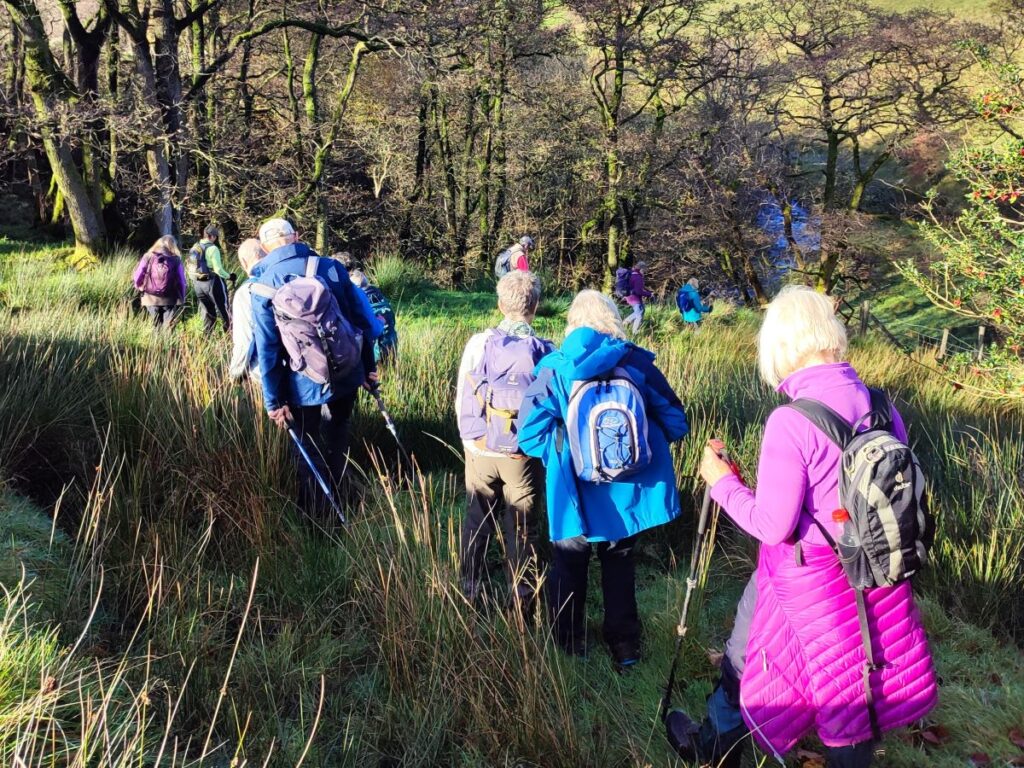
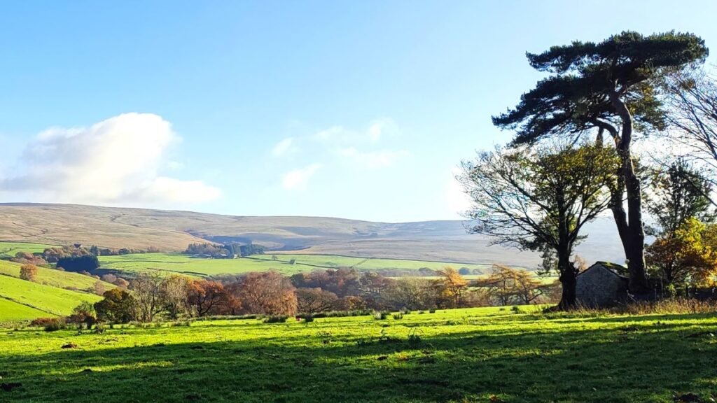
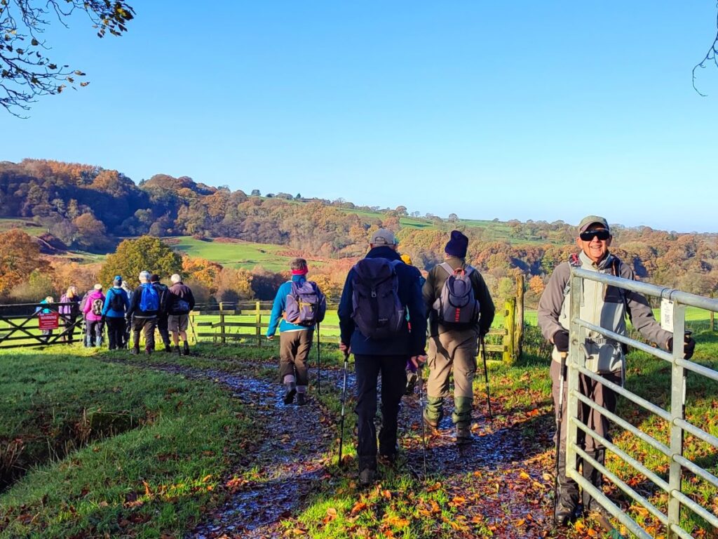
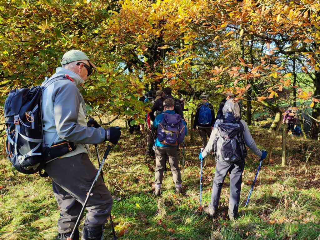
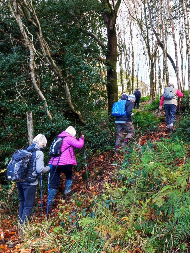
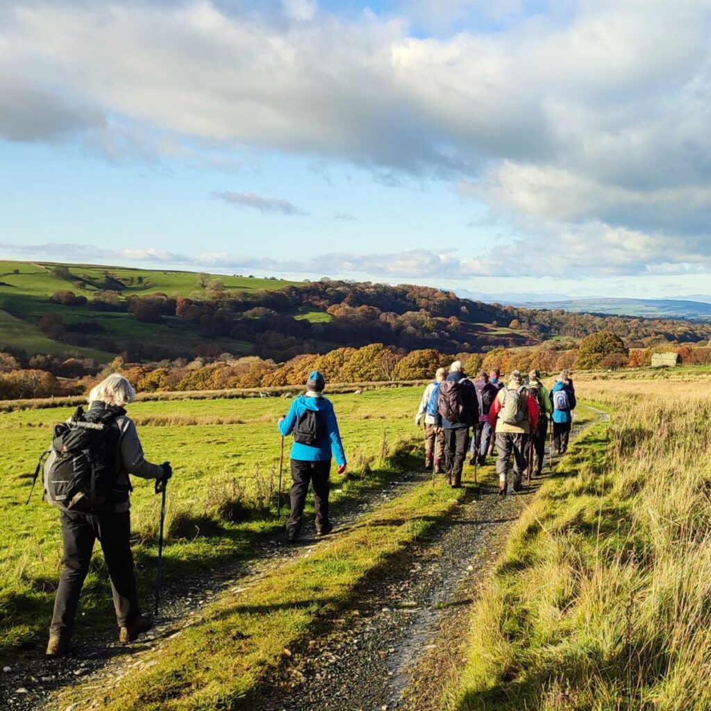
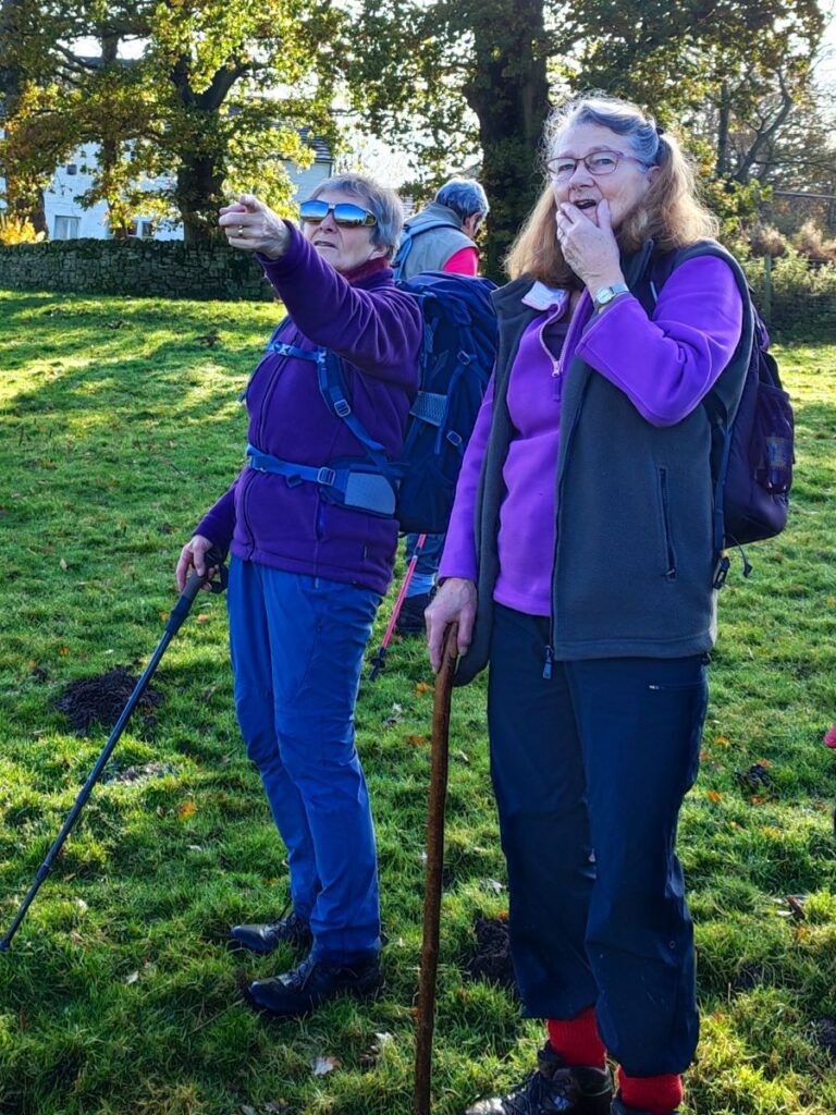
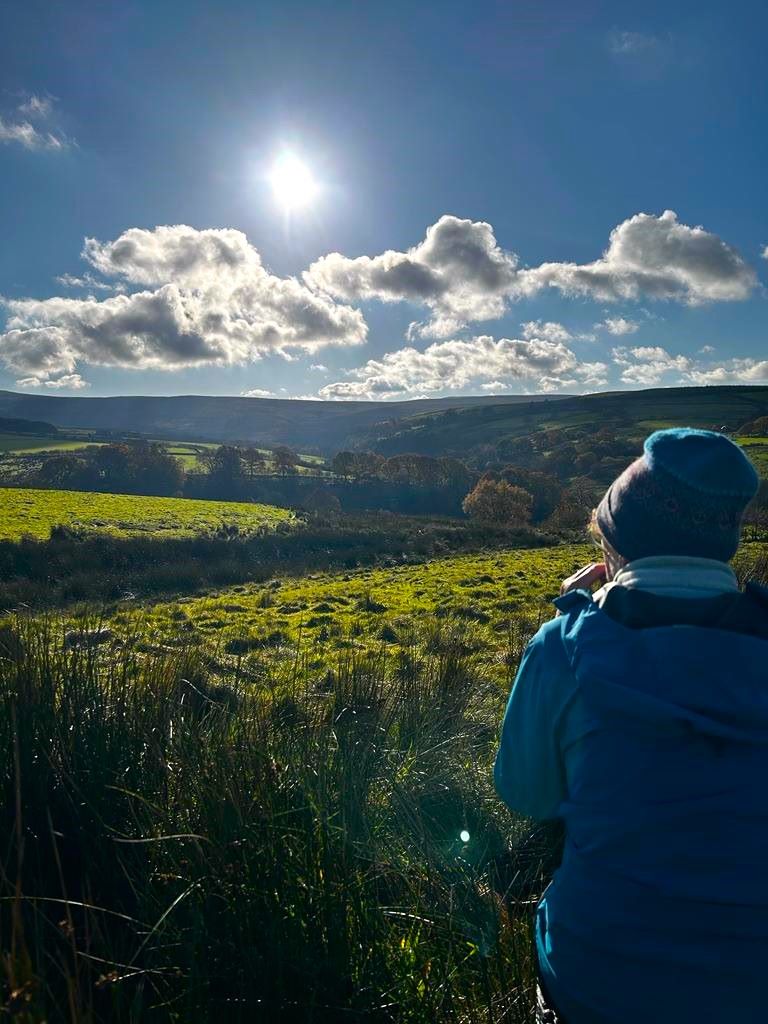
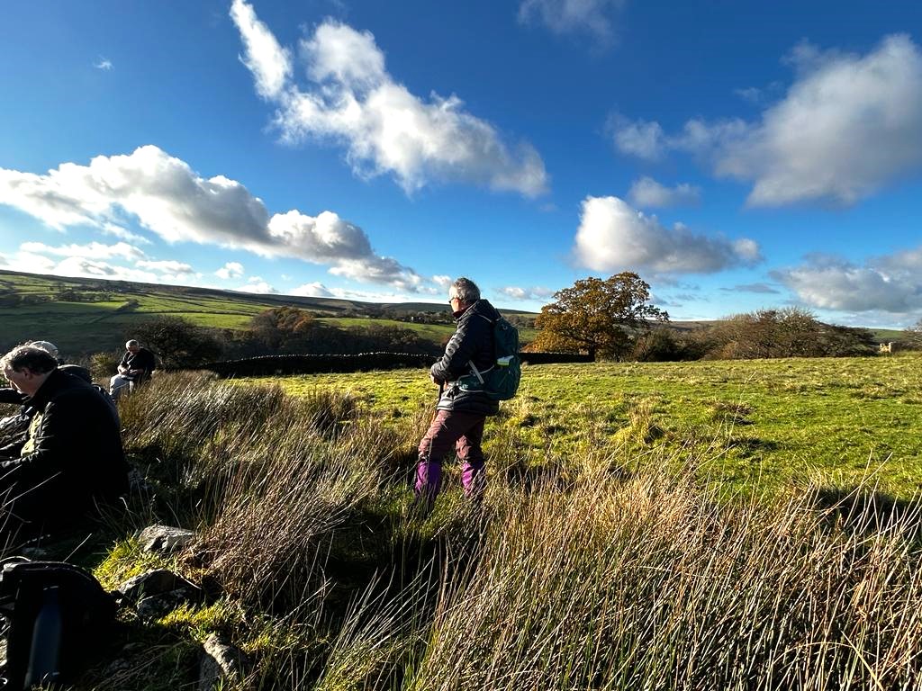
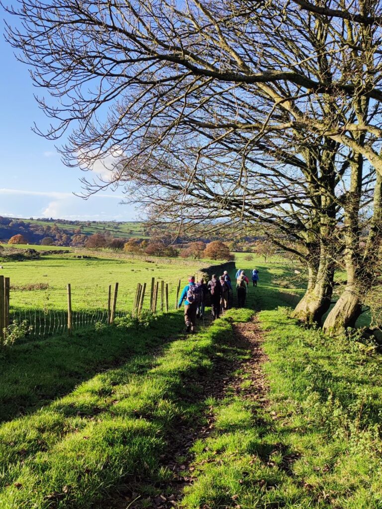
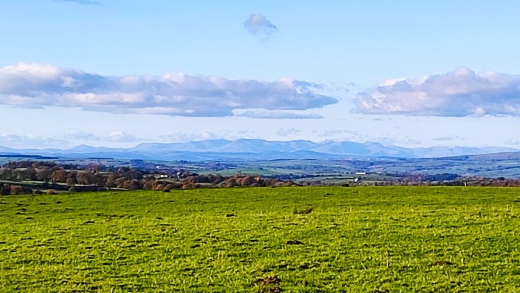
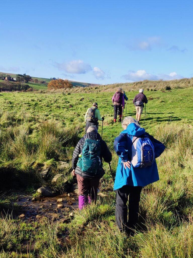
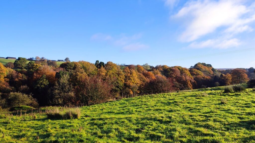
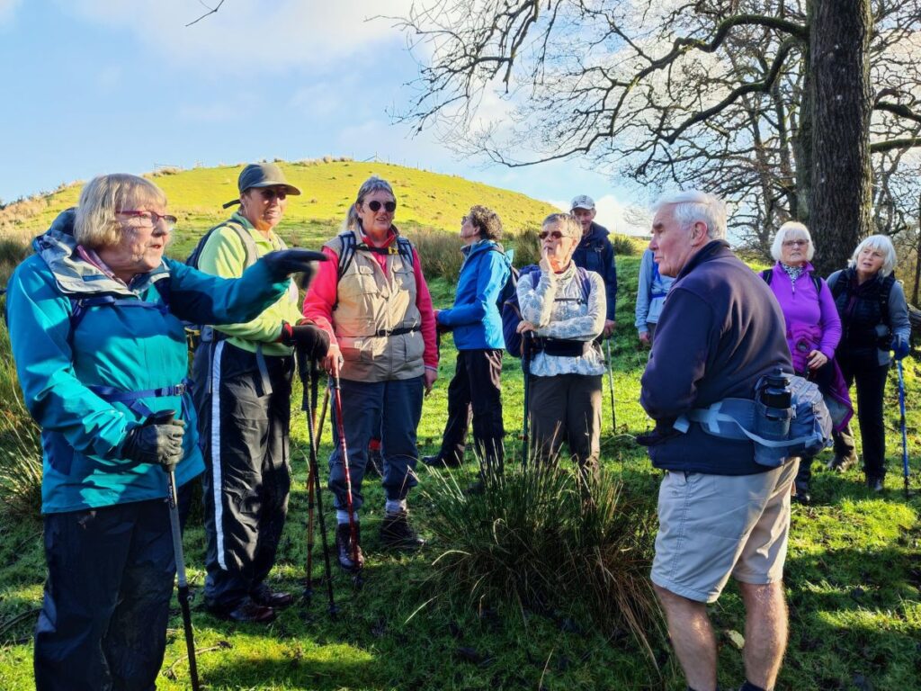
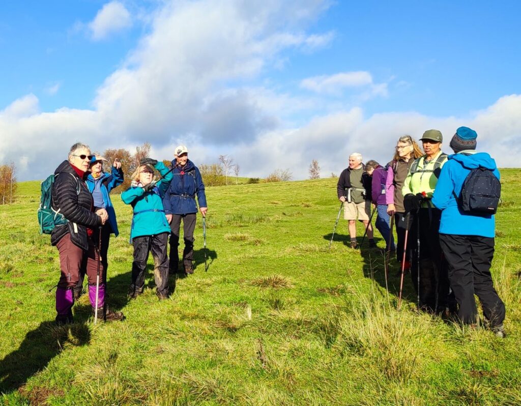
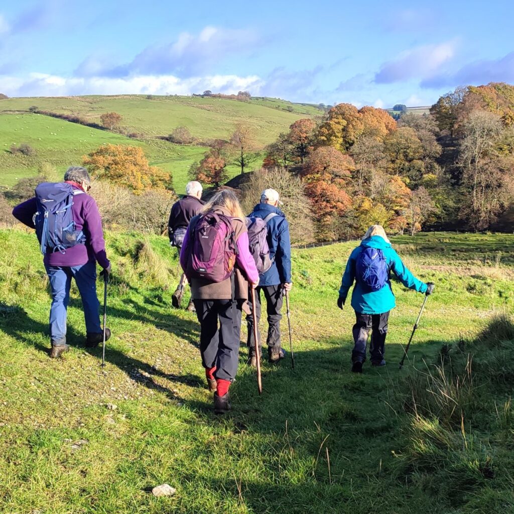
For the rest of us, this is still a great walk in a timeless landscape that never gets busy – despite the idyllic autumn weather we enjoyed, we passed no other walkers, and the only people we met all day were residents pottering in their gardens and making the most of the sunshine before winter sets in.
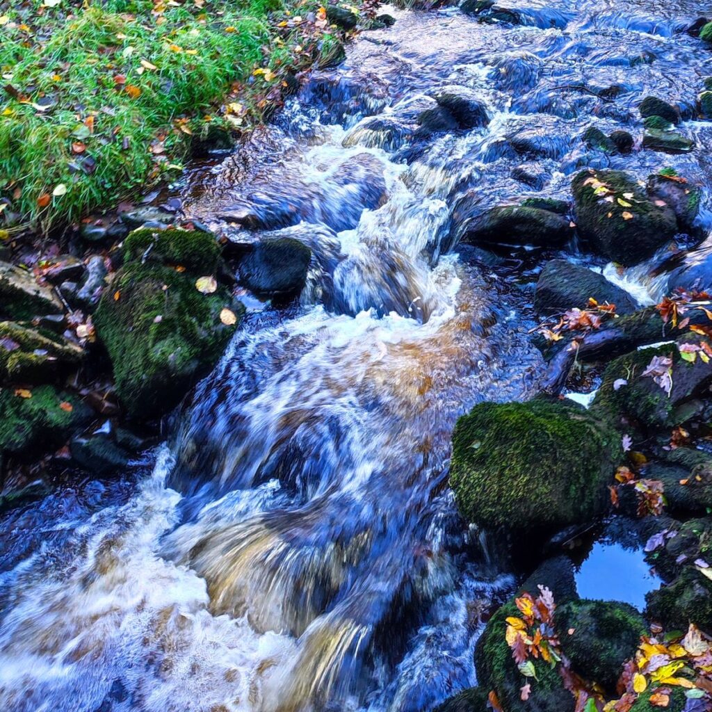
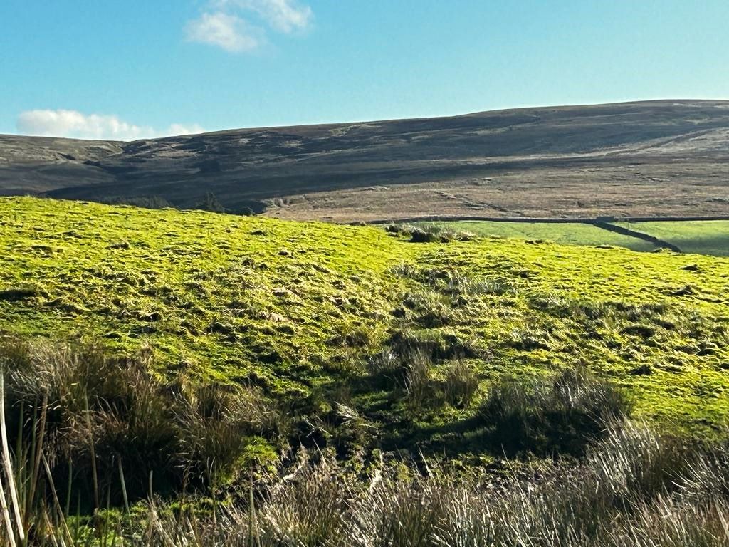
Although we consider this walk to be “easy” based on the total distance and elevation change, you should be aware that Tatham Fells are poorly drained, and so the ground can be very wet. This can make the walk feel longer than stated but on the other hand wet weather makes the rivers and becks we cross so much more attractive.
- Total distance 11.4 km (6.4 miles)
- Total ascent 344 m
- Easy walk
Step-by-Step

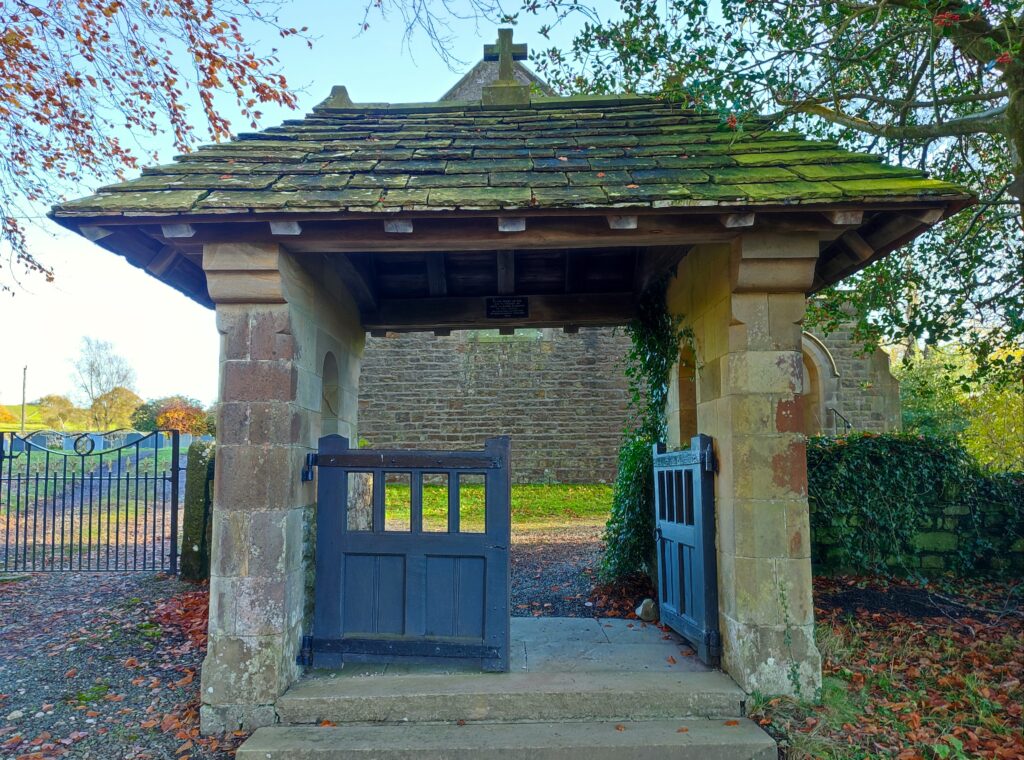
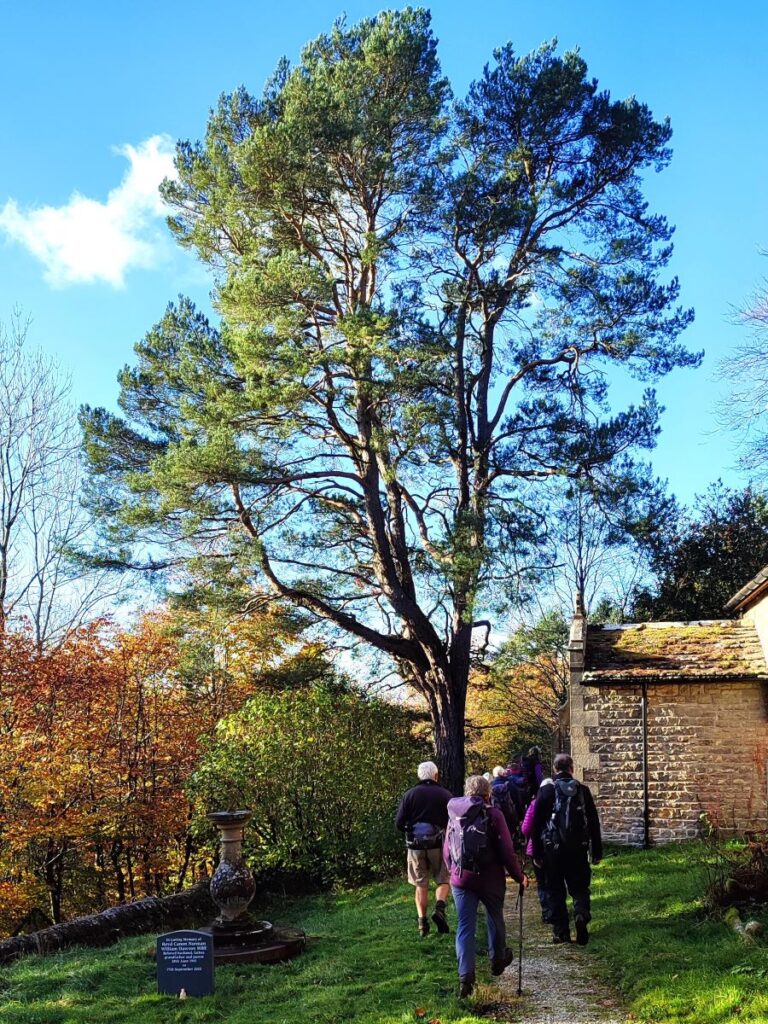
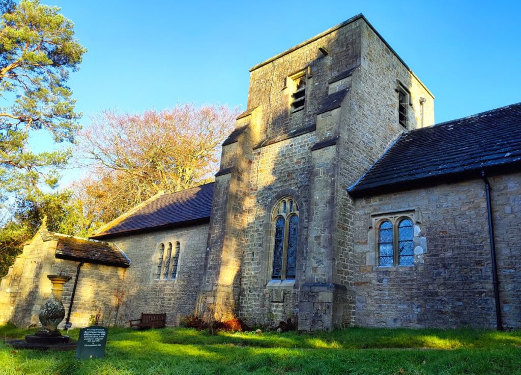
The starting point for this walk is at the large car park in front of the Church of The Good Shepherd in Tatham Fells. This rather lovely church is very isolated and if you are not from the area, you might be tempted to follow Google Maps and approach from Lowgill (to the west) We don’t recommend this route – it offers a gradient of 1 in 4 combined with a bend tighter than the turning circle of most cars.
The best way to the start is from Bentham. Head out on the Slaidburn road and then after the Big Stone (“the Great Stone of Four Stones” on some maps) turn right onto Aikengill Road, take left at the first fork, and then look for the sign to the church on the left – after that it’s a single track road all the way. The postcode for Satnav users is LA2 8PS, or if you use what-3-words then the tag is copes.panoramic.dream which corresponds to the OS grid reference SD65376543.
Before setting off on the walk, it’s worth taking a moment to have a good look at the church – and perhaps to make a donation given that we are making use of the car park. For those of you habitually following Bentham Footpath Group Walks, it will come as no surprise that this is another Austin and Paley creation: It’s not that we seek then out, it’s just that this Lancaster based firm of architects seem to have produced so many of the better quality buildings in the area that we encounter them on many of our walks – enter “Paley” in the keyword search box on the Search for Walks page on our website to see them all.
This particular church dates from 1887-8 and was a rebuild of an earlier church dating back to at least 1577. The definitive architectural historian, Nikolaus Pevsner observed in 1969 that “the two arches of the tower create a dignity beyond the scale of the building. The roofs with their windbraces are a pleasure too”. For lots more background to this lovely building, click here to visit the church’s own website

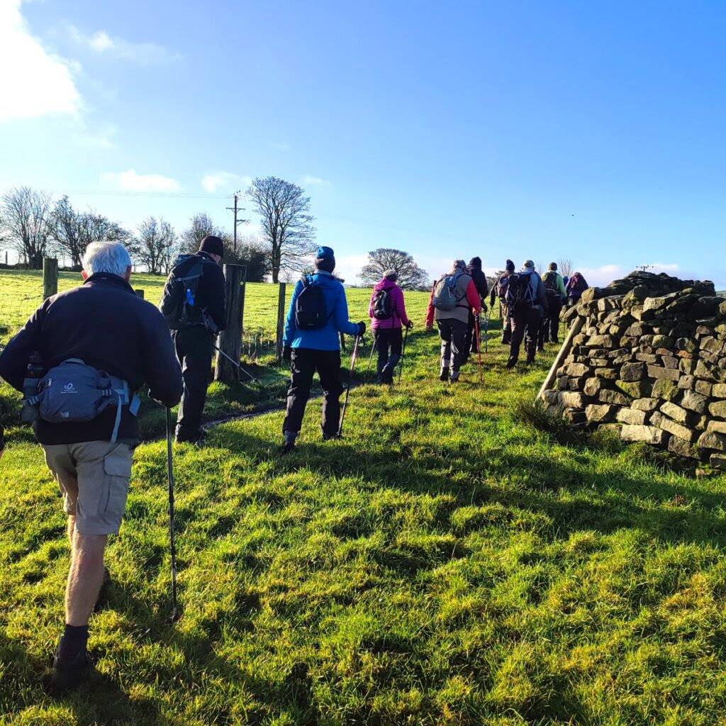
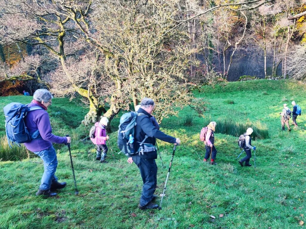
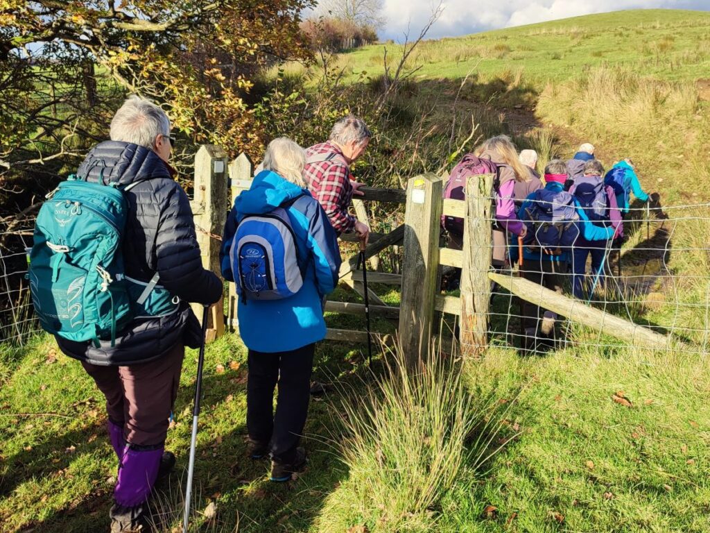
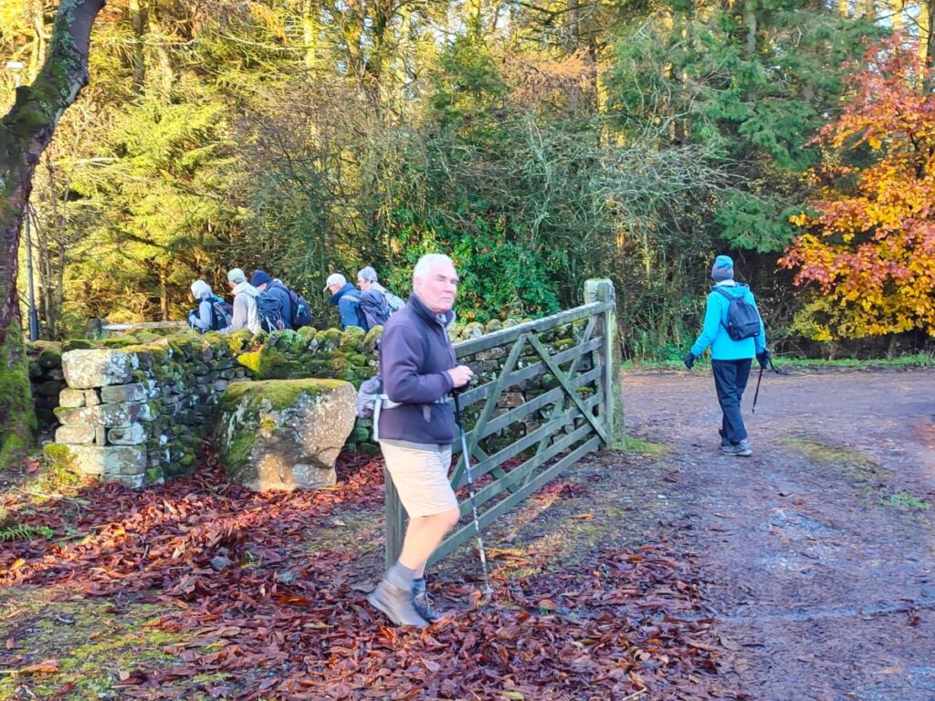
Initially we head out of the car park and back onto the minor road that we arrived on. We head left (downhill) but only as far as the far wall of the church grounds where we find a stile to access a path which leads around the right hand side of the church. As we pass the church we notice the graveyard behind the church along with the Old School, now renovated and used as a meeting and function room.
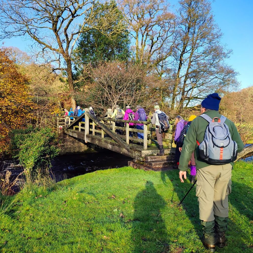
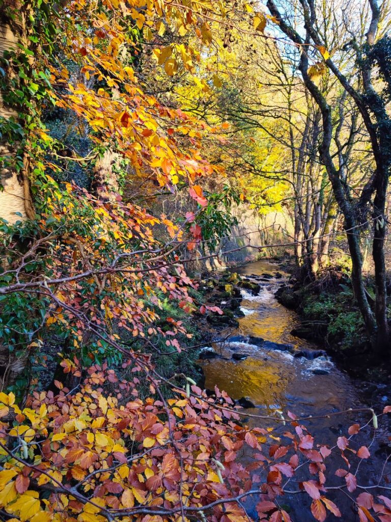
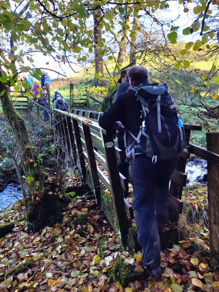
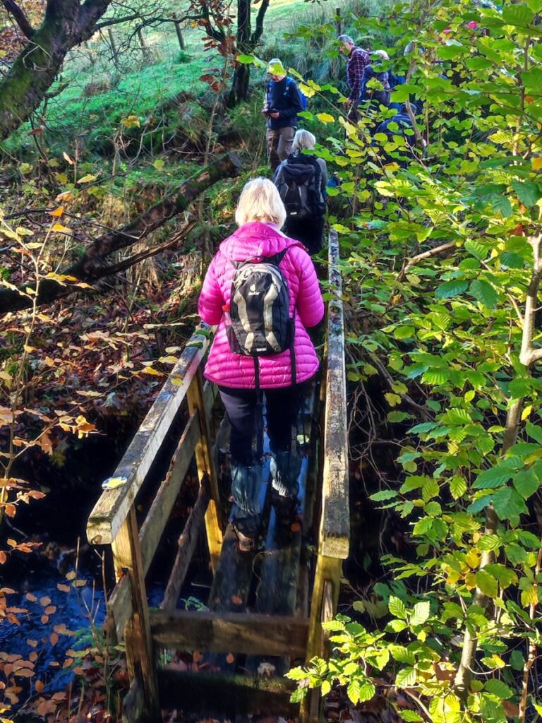
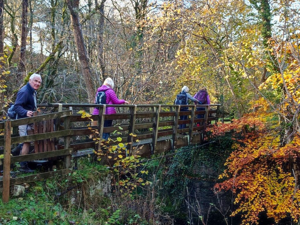
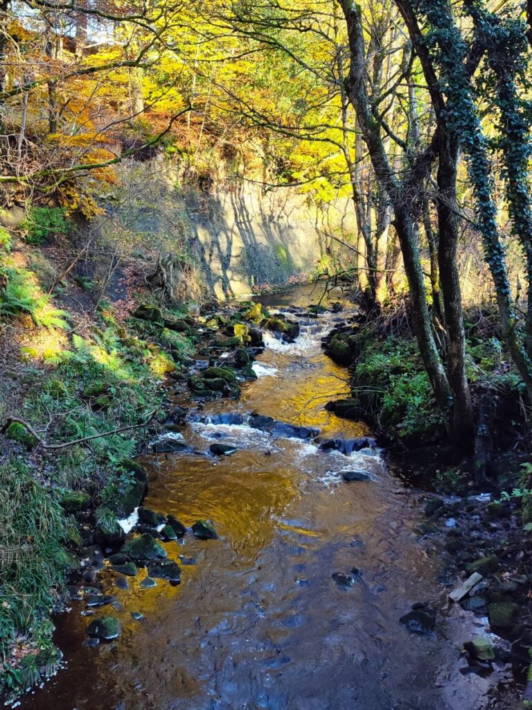
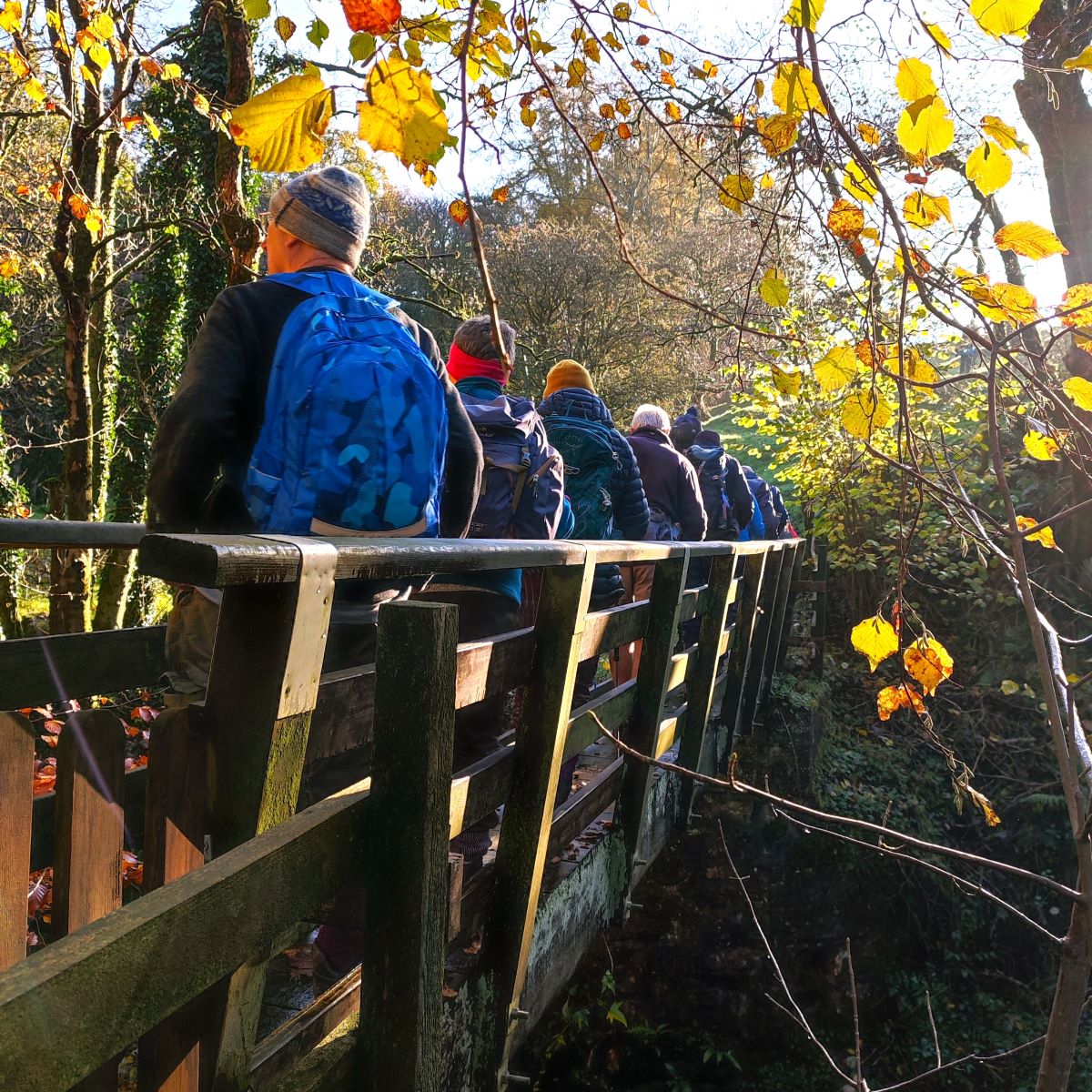
The path then takes a steep journey down the side of a valley to meet a footbridge over Crossdale Beck – this has recently benefitted from the installation of new steps, so the climb down is easy – just be careful on the footbridge which like all wooden footbridges can be slippery when wet.
Beyond the bridge there is a scramble up the opposite bank – then the route is essentially along the wall on the right hand side of the field – there is a path over to the left – it’s the one we return on later so don’t be tempted to follow that unless of course you intend to do the route in reverse.
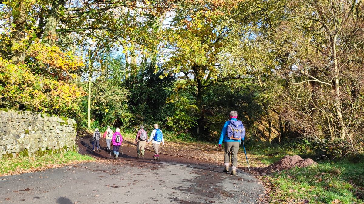
We follow the wall round until we have the modern school at Lowgill in sight, then head sharp right – still along the field boundary – to emerge between houses at Lowgill Lane. A quick glance at the OS map shows that Lowgill Lane follows the course of a Roman Road – we cross the remains of this road several times on the walk – it’s not always easy to see from ground level, but if you run the Flythrough on our website the aerial photography makes the route much clearer.
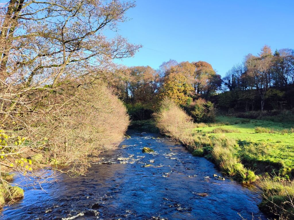
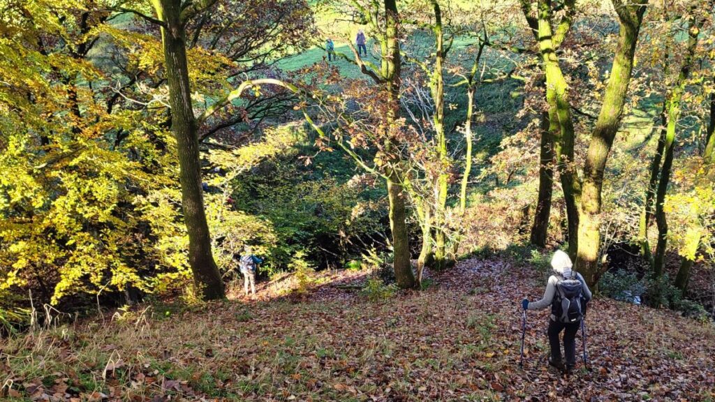
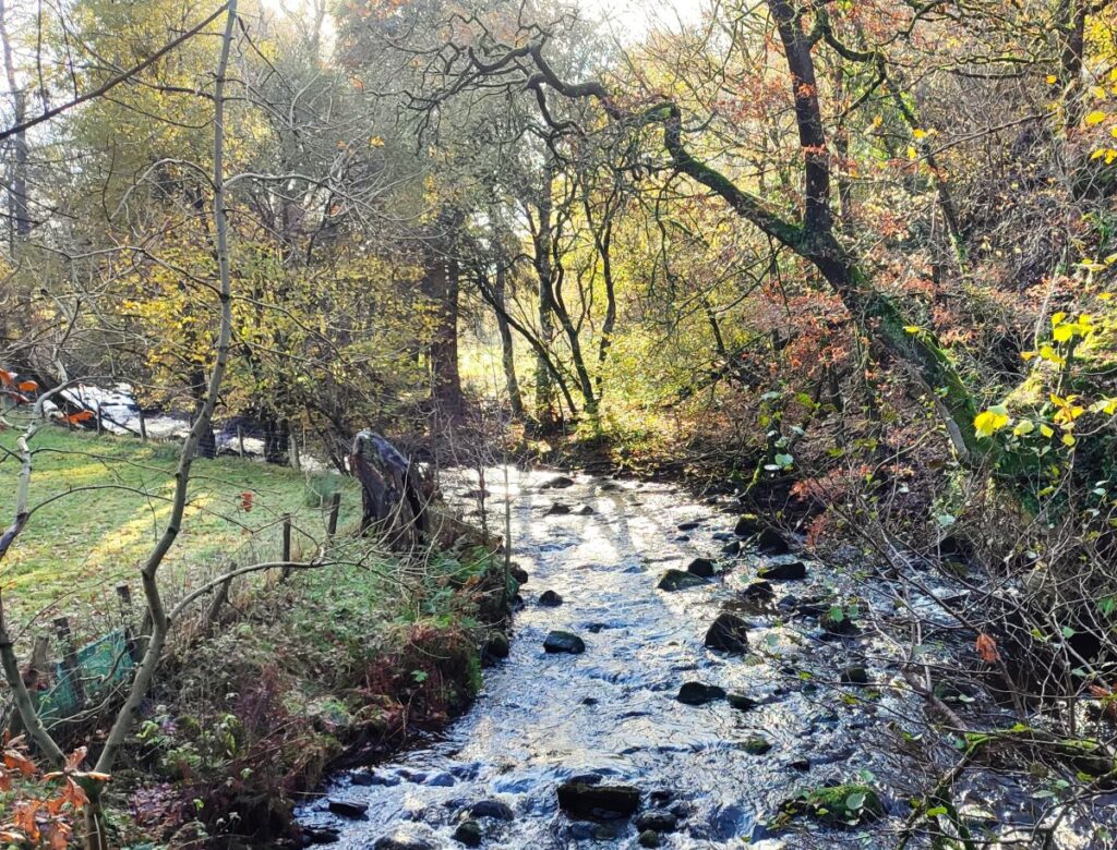
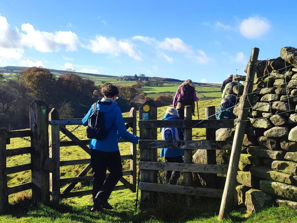
We head left at the road, and then just 30m later, on the far side of the road, we follow a track with a pair of gates in rapid succession. Having cleared the second gate we follow the track until it bears left – and at that point we head straight on and gently downhill across the field to joint an ancient green lane which continues west – heading toward the dense woodland that lines the river Hindburn. As we arrive at the woodland, we see a path down through the trees to a footbridge over the river. The path down is quite steep, and care is needed here.
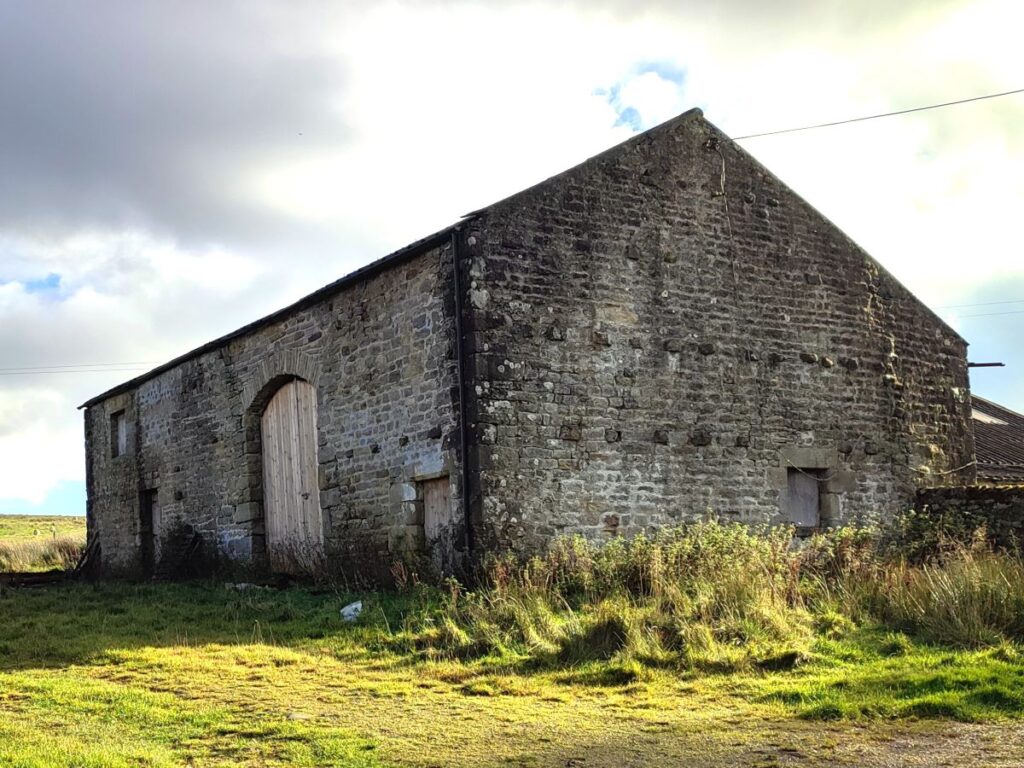
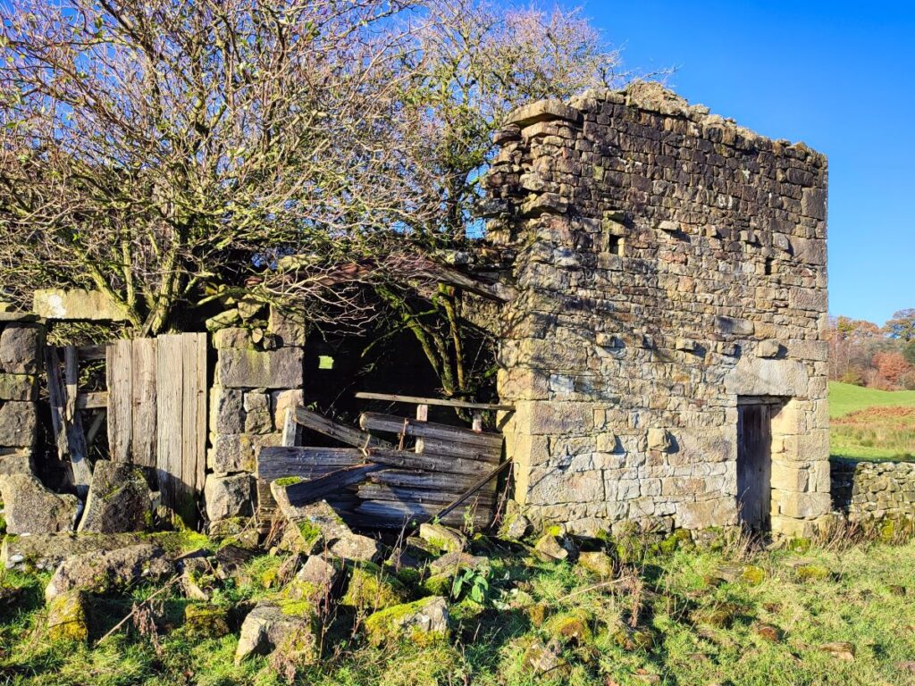
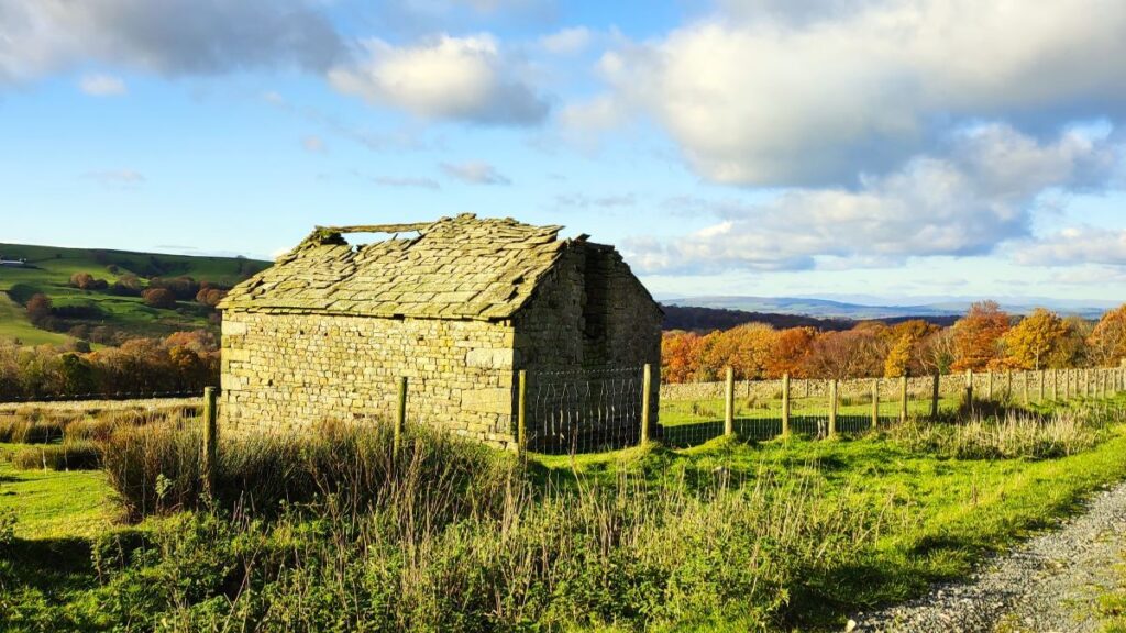
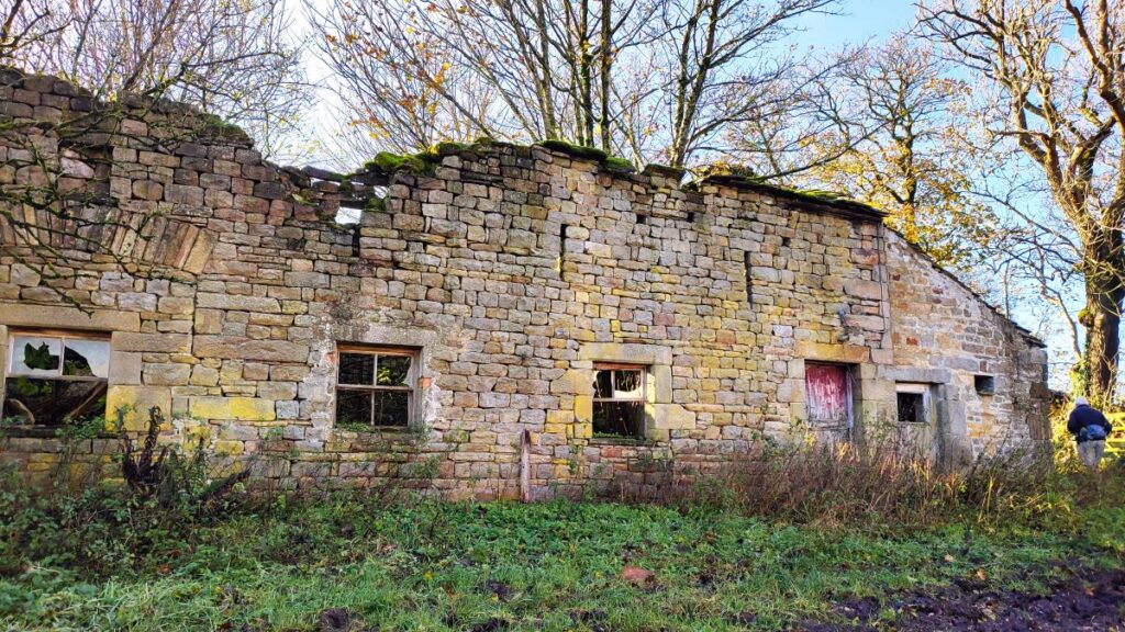
After the bridge, the “official” right of way on the OS map shows us heading Northwest toward Helks Wood before turning back to walk Southeast – all within the same field. We took the pragmatic view that it made more sense to head left after the bridge and follow the valley upstream – we soon get back on the right of way: If in doubt head for the downhill side of a derelict barn.

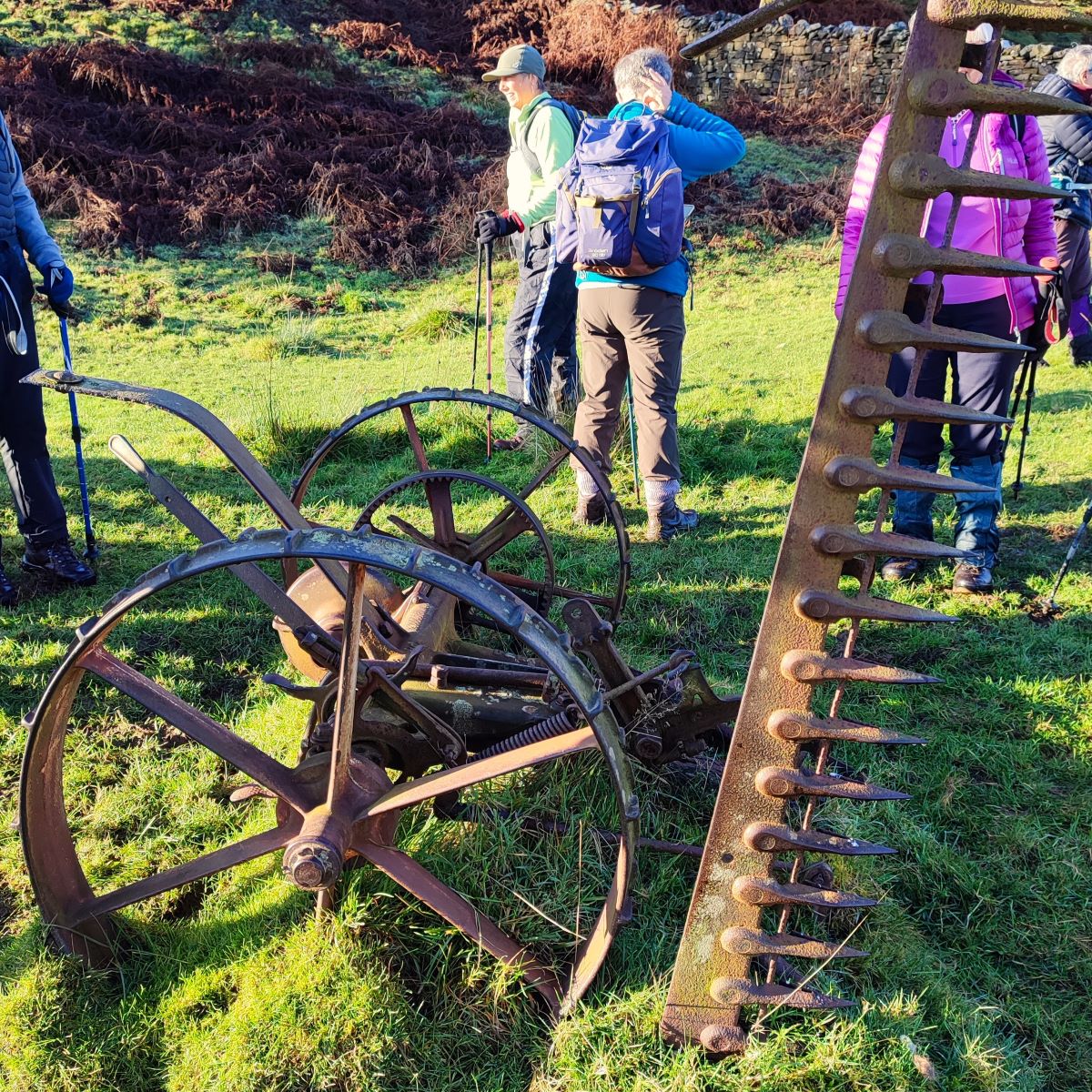
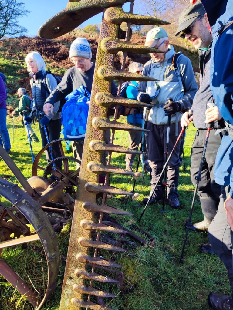
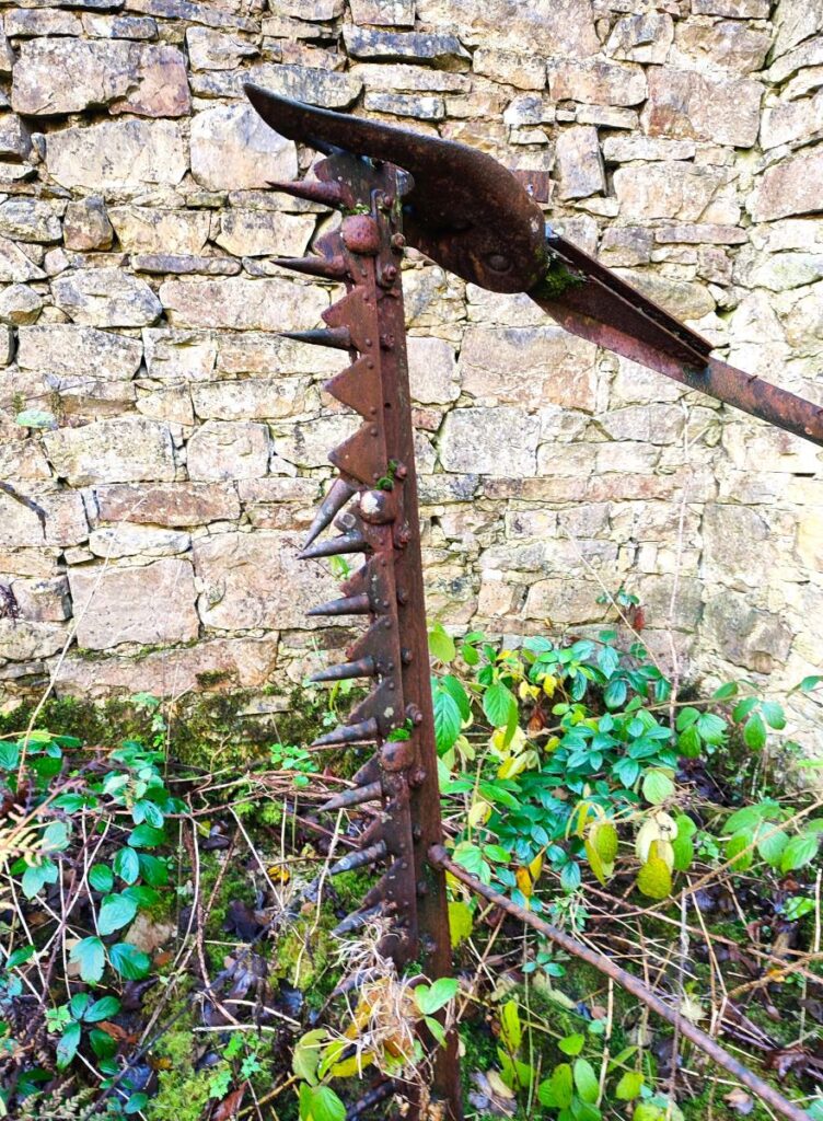
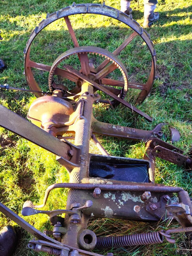
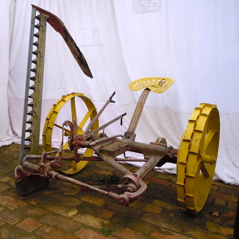
Also of interest here is an abandoned horse drawn grass cutting machine – which shows a manufacturers casting mark indicating that it was made in Canada. A quick internet search suggests that this is a Deering No 1 made at their Hamilton Works in about 1937 – and such is the power of the internet that we also found a picture of a fully restored model in a Serbian museum of agricultural equipment. Click here to find out more.
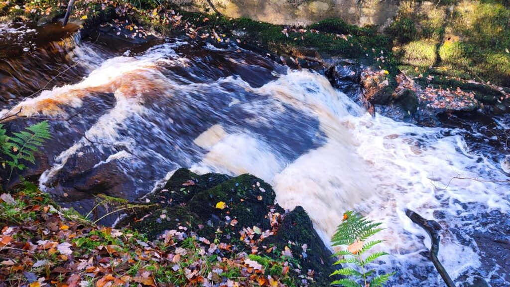
From here we head consistently South, never more than 50m from the river Hindburn (which is of course on our left), and we soon arrive at a minor road at a bridge over a tributary beck. We do need to cross the beck, but not at this bridge –instead we head up the road for about 100m than take a footbridge on the left before following the beck back down toward the Hindburn, enjoying two waterfalls on the way.
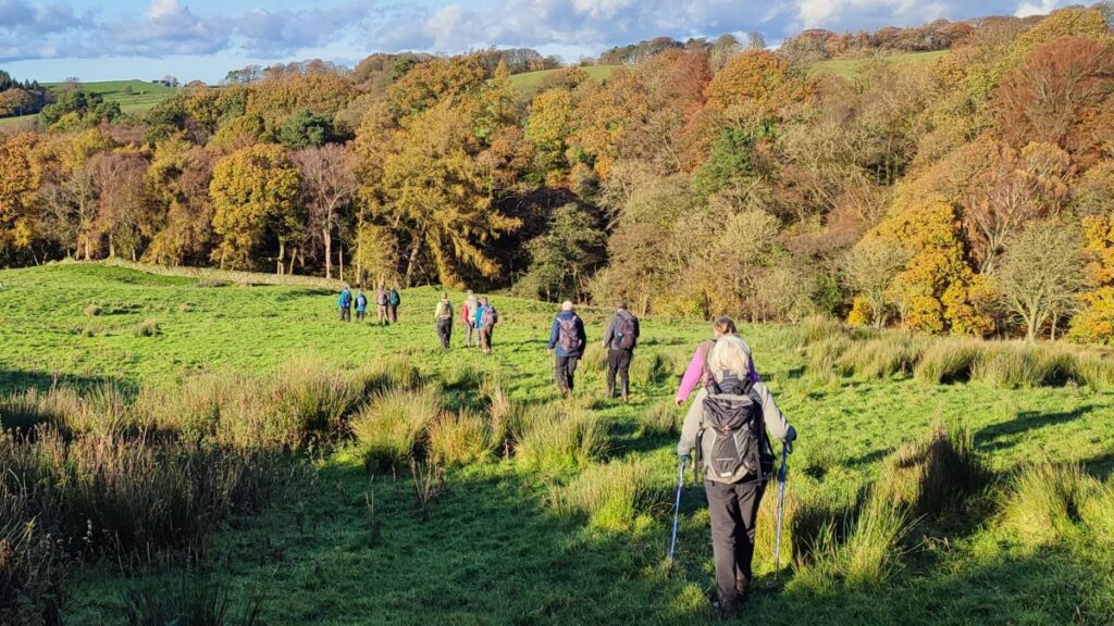
As the path exits the woodland, we have another instance where the paths marked on the OS map would have us taking two sides of a triangle for no real benefit, so we again took the pragmatic view and headed right (southeast) so that we are still following the Hindburn upstream and such that it remains never more than 100m away from our path.
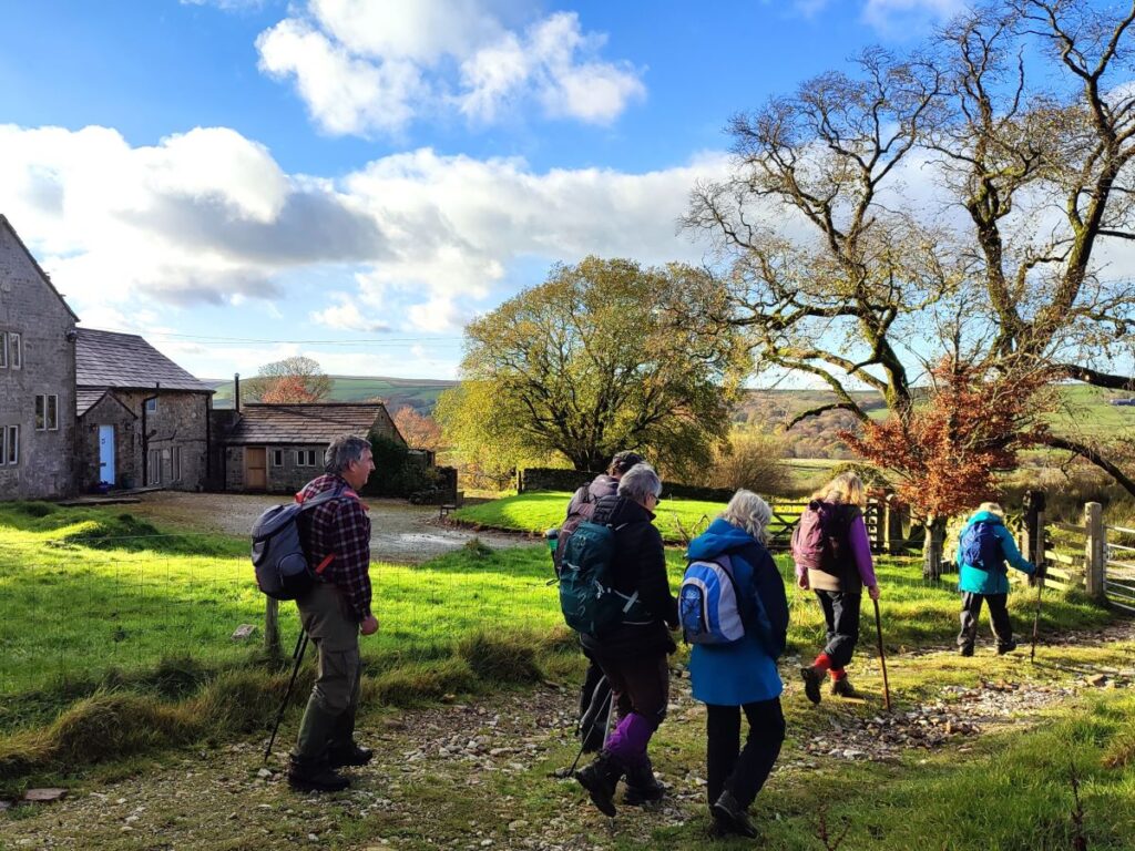
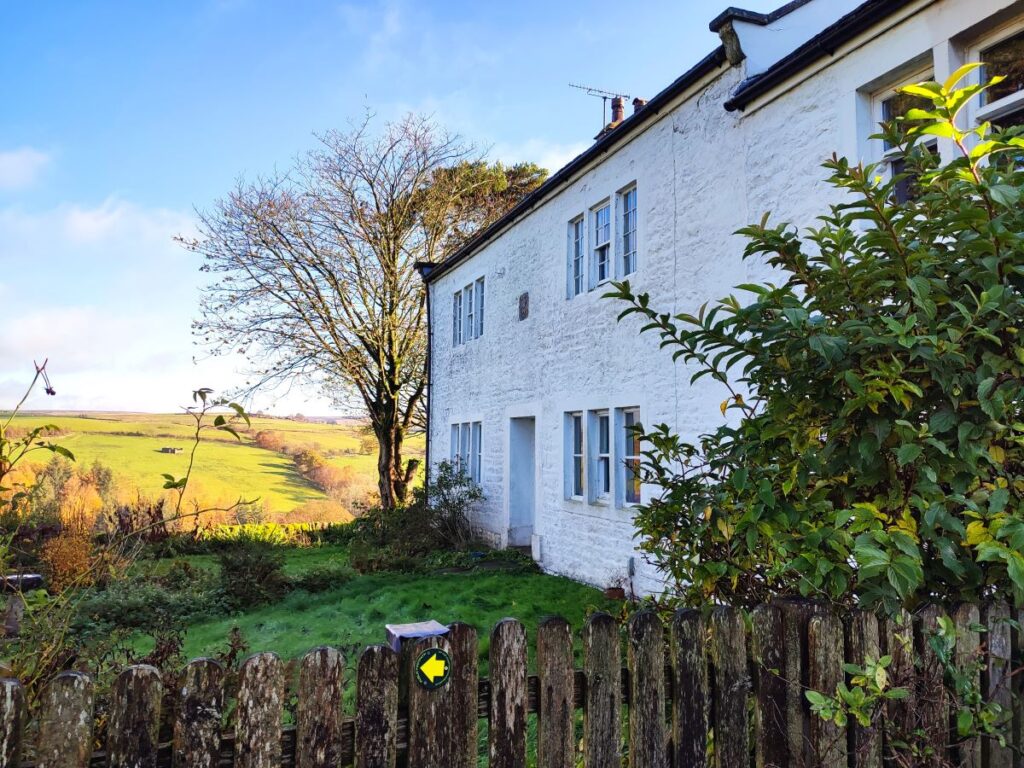
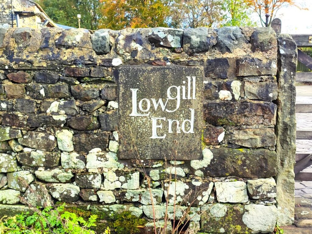
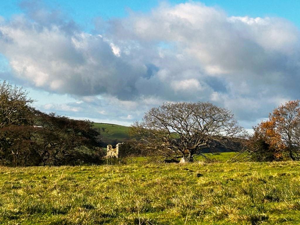
We soon have a very prominent white cottage in our sights, and we head straight for it – this is Lower Thrushgill, and as we arrive at the right hand side of the house there is a waymarked path between the buildings which feels at first like we are intruding, but soon opens onto a farm track next to a derelict barn behind the house – we turn right here and head up to a minor road – this is Botton Road.
We take a left at the road, noticing the cubic stone cheese-press weight that has been repurposed as a gatepost, and then follow the road for 100m – at which point the road bears left. Our route follows the track that continues straight on – and this bears a standard road sign indicating a bridge ahead with a 3 ton weight limit. We would not normally expect such signage on farm tracks, so what’s the explanation for this arrangement?

What we now see as a semi derelict track was once a main service road during the construction of the 72-mile aqueduct from Haweswater to Heaton Park reservoir in Manchester. Building of the aqueduct took place between 1935 & 1955. The pipeline enters Tatham parish by crossing under the river Wenning half a mile east of Wennington. It continues by a pipe bridge over the railway, then past Clintsfield, Perry Moor, and Mashiters, under the Hindburn River, up to Birks, then past Lower Houses, where it enters the north end of the Bowland Forest Tunnel.
The tunnel is a huge construction – and would be a major civil engineering challenge even today: It runs from Lower Houses to Thrushgill, crosses under the Hindburn again, then passes under White Hill to Croasdale. Here the tunnel turns south, to end half a mile west of Newton-in-Bowland in the Hodder valley. The tunnel has a continuous downhill slope of 1 in 3000 – a drop of only 5 metres over the full length.
The workforce required to build the aqueduct – and in particular the tunnel – was huge, leading to the establishment of temporary villages – one was at Higher Thrushgill, and was known as the Hindburn concentration camp – the awful connotations of that phrase obviously did not apply in the 1930s in the UK. For more details about the aqueduct along with photos of the sites, click here.
The tunnel was built by the Cementation Company Ltd., who were contractors for many major waterworks schemes. They were based in Doncaster, and later became part of the Trafalgar House Group before being combined with Skanska, a Swedish Conglomerate that is now the world’s fifth biggest civil engineering provider. There are still many people in the area who remember the works taking place, and who recall family members visiting the cinema and canteen that was part of the “Cementation Works”.
As we follow the track down to the bridge, it zig-zags a little, but the route is clear. We cross the river at Botton Bridge and then head east along the field boundary climbing quite steeply, until after 200m we arrive at flatter ground and notice the route of the Roman Road heading right. The right of way now continues along the Roman Road for 100m before veering off on the left to follow a field boundary, crossing the far wall, then coming back on another path heading north.
We follow this as far as Mean Garth Wood, where we need to follow the path through the woodland finding somewhat obscure stiles and footbridges before a steep climb up the bank next to a drystone wall. There are a number of path options here, so if you want to be sure you are taking the same route we took, download the GPX file.
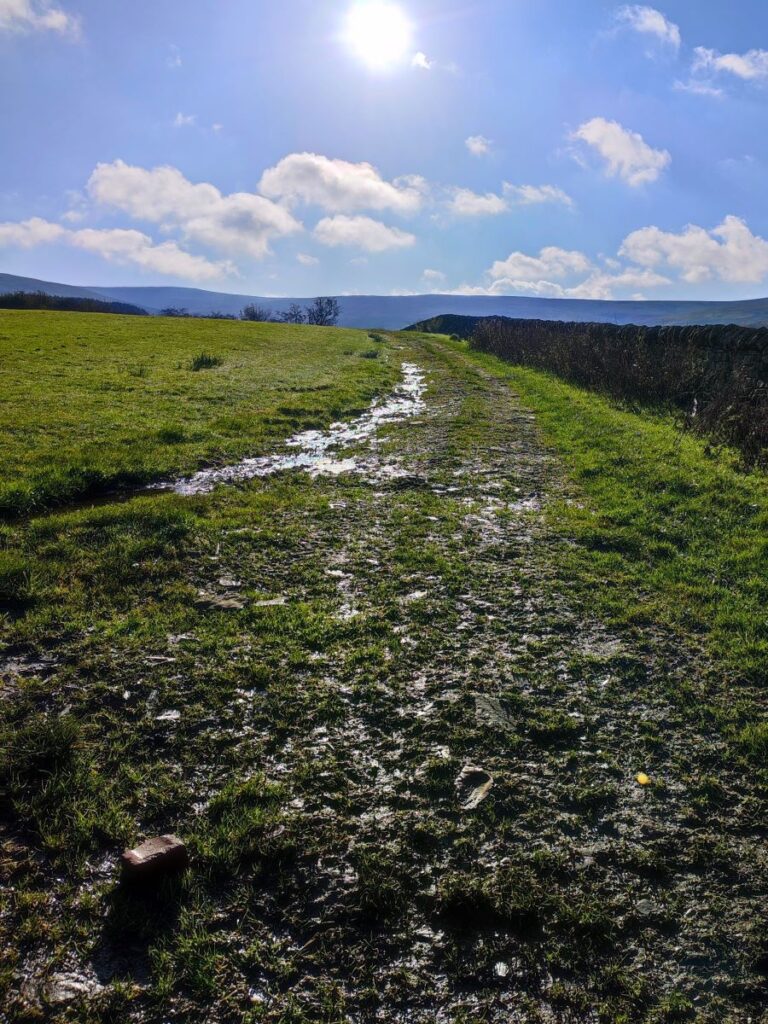
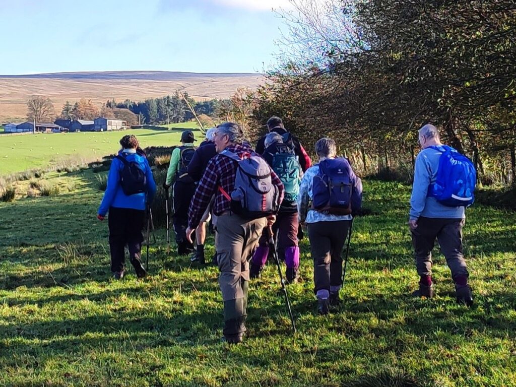
After climbing for about 50m (although it may feel like more) we head left through the wall and around the contours, on ground that can be very wet, heading Northwest toward a farm at Swans. On the way we cross Williamsons Gill and notice a useful path crossing ours – it goes to Thrushgill on the left and Higher Lythe on the right.

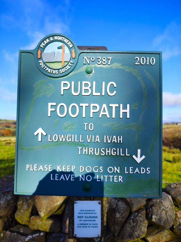
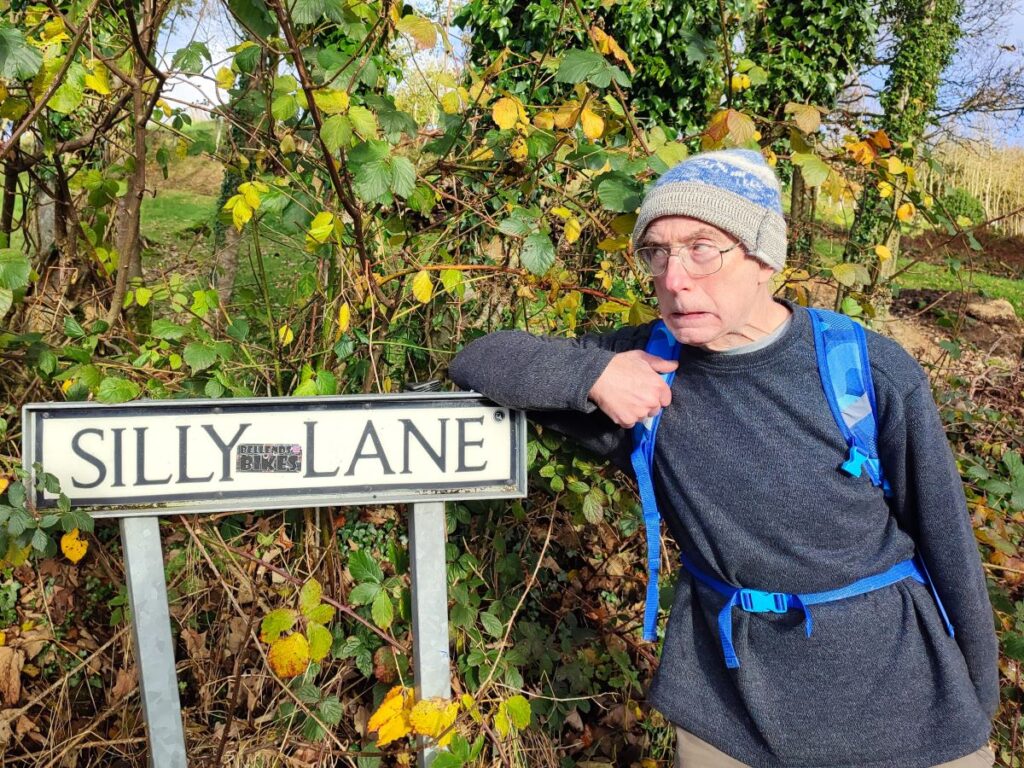
As we approach the farm, what had been a boggy route across wet ground becomes a firmer lane, and we soon reach the house (on the left) and barn (on the right). The path forks here – we went left and followed the farm track (on the course of the Roman Road again) down to the minor road – if you take the path on the right it arrives at much the same place – so take your choice. At the road we head right – the road immediately bends round to the left and we stay with it until we arrive at High Ivah where we ignore the temptation to follow Silly Lane and instead head North toward Lowgill – we have Ivah Great Hill on our right as we head down the road.
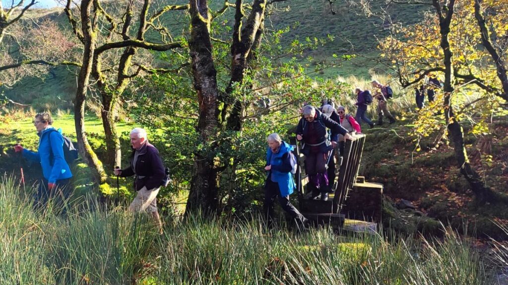
We keep an eye open for a path on the right leaving the road and heading into the woods – if you get to the bridge where the road crosses Bull Gill, you have gone slightly too far. We now head east up through the woods on a clear path, which tracks along a fence line for about 100m.
At this point we need to find a stile in the fence on our left – it’s easy to miss so if in doubt walk the fence line rather than the path. This takes the path steeply downhill to a footbridge over Bull Gill – which is not quite in the location indicated on the OS map.
We cross the bridge and then head Northeast – there is a farm with equestrian activities over to the right, and we need to aim for the drystone wall directly ahead. When we get to that wall, we follow it to the right until we find a stile. This takes us into a flat field with a farm at Brackenbottom ahead of us – we head for the farm following the field boundary to our right, and soon see a waymarked route to the left just beyond the house.
This takes us onto a lane bounded by a fence which soon becomes a wall, and we follow this for a while. After 100m or so the wall bears left, but we carry straight on and downhill back toward the church at Tatham Fell, where we meet our outbound path and again cross the Crossdale Beck at the wooden footbridge – don’t expect instant recognition though, the views on the return journey are so different that you may not recognise it until the church comes into view.
Useful links