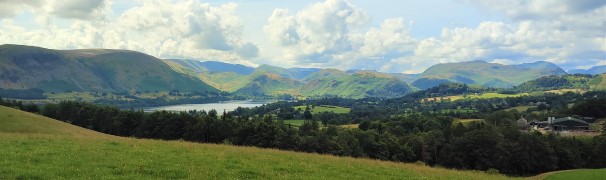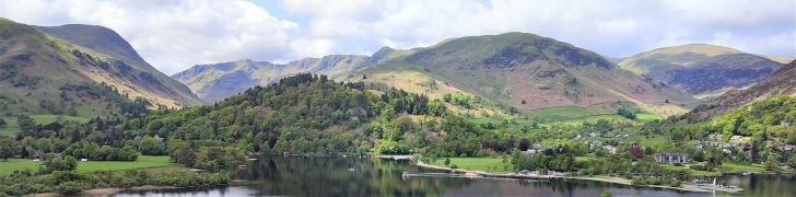
Ullswater and Place Fell
10.0 miles | 16.1 km | 921 m Ascent | 14.6 Naismith miles | Ed Badley
In July 2022, Bentham Footpath Group undertook a challenging linear walk on the Northern side of Ullswater. During that walk we had great views across Ullswater to Place Fell, and this time we return to explore the South side of the lake.
We start from Deepdale Bridge, and initially take a gentle route by contouring around the lake until we get to Scalehow Force. We then head steeply uphill to High Knott, then on to High Dodd, from where we get a good view of the cairn on Place Fell. The strenuous climb to that cairn is rewarded by excellent views across Ullswater to Glenridding, Patterdale and the Kirkstone Pass, before we head downhill – again quite steeply – to Boredale Hause. The final leg of the walk continues downhill to meet the path we used at the start of the walk at the base of Dubhow Crag, before we head back to the cars. This is a strenuous walk, with the more difficult terrain later in the day – so prepare well and make sure you have enough water.
Ullswater and Place Fell Read More »