Jump to . . .Step by Step | OS Map | Downloads | Gallery | Fly through
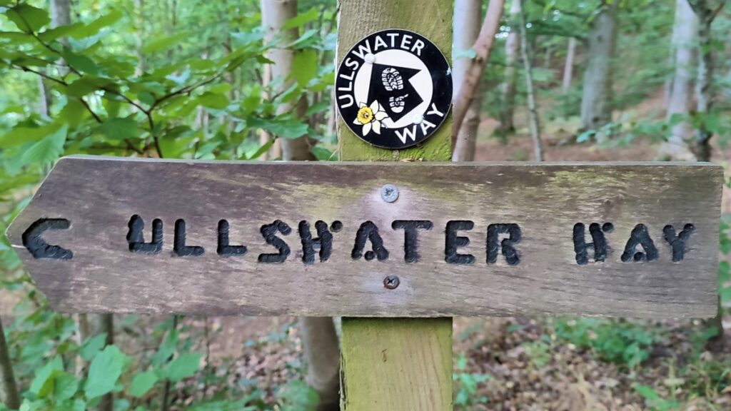
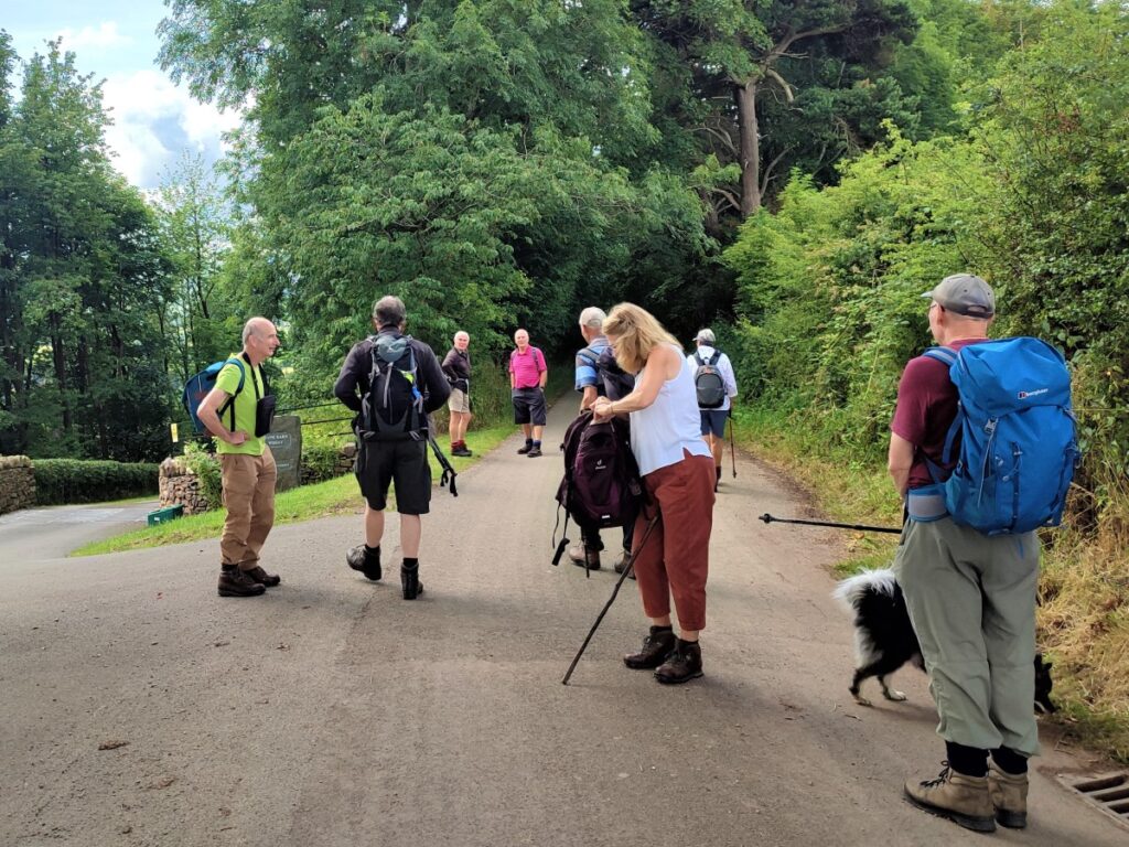
Most of the walks that Bentham Footpath Group offers are circular, but this challenging walk on the Ullswater Way uses public transport to get us back to the starting point – which means that we can cover almost half of the route around the entire lake in one go.
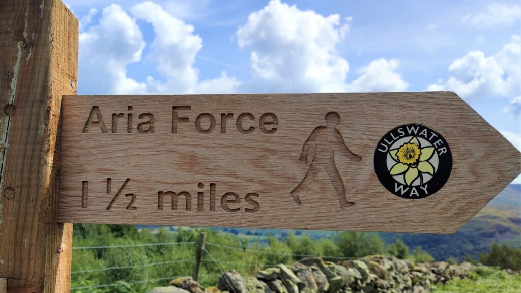
The Ullswater way covers 21 miles in four self-contained sections, 2 of which we cover on this walk: Pooley Bridge to Aira Force via Maiden Castle is about 7 miles –or we press on to Glenridding – a further 4 miles, where the bus awaits.
The notes cover the full 11 mile distance, but we would rate the walk as “moderate” if the shorter route is selected.
- Total distance 17.6 km (11 miles)
- Total Ascent 786 m
- Challenging walk
Step-by-Step
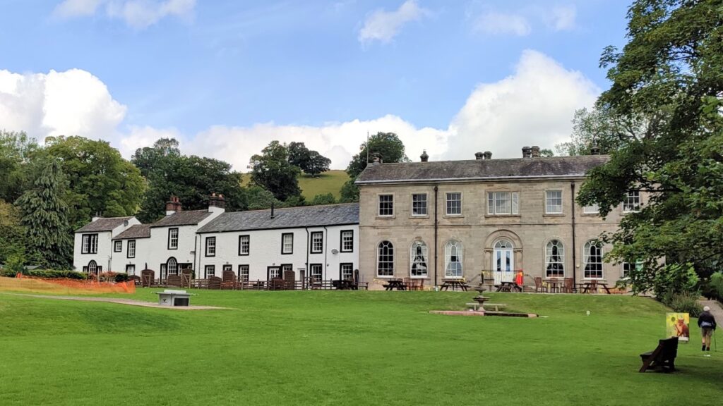
Any walk in the Lake district requires some thought about parking. This one has a good solution though: We start in Pooley Bridge, by taking the M6 North to junction 40 then following signs on the A592 to Rheged and then Pooley Bridge.
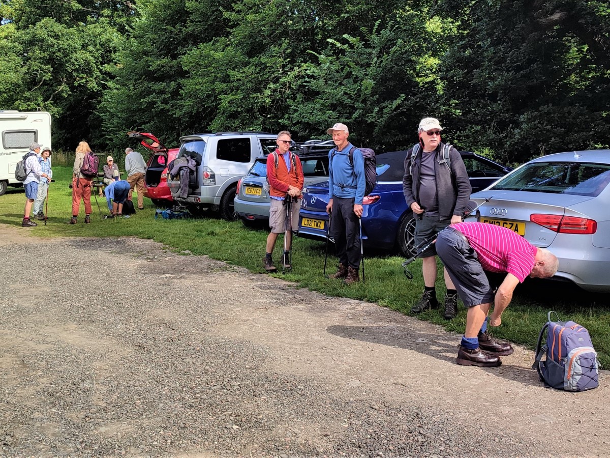
Once at Pooley Bridge we cross the new bridge over the River Eamont and then look out for the Sun Inn on the left. Just after that, we see a carpark on the left where for a modest fee we can leave the cars all day.
Satnav users can enter the postcode for the pub: CA10 2NN, whilst the What-3-words tag caskets.frog.sharpness adds some precision. Paper map users will find NY47162446 finds the carpark.
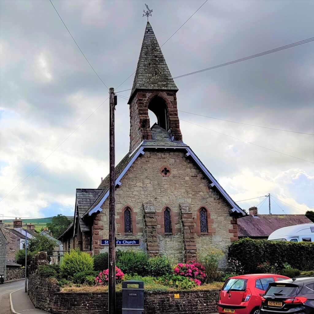
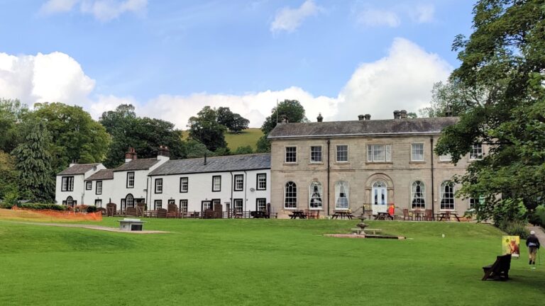
Leaving the carpark, we turn right along the B5320, taking a moment to notice the rather attractive church of St Pauls, and then walk through the town centre and back to the bridge. Other attractions available in Pooley Bridge include the Ullswater Steamers, and a good choice of pubs and restaurants.

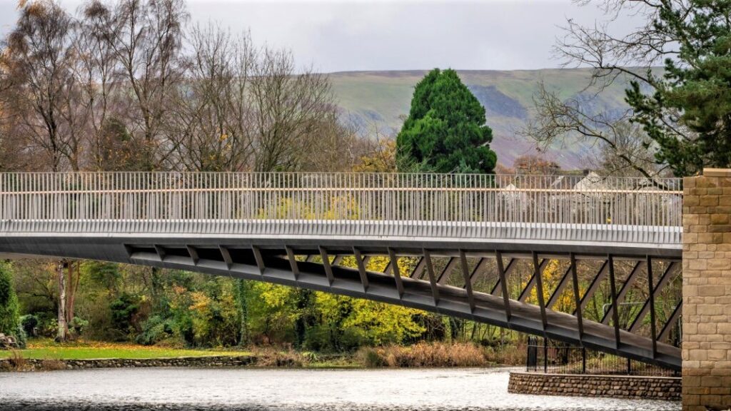
The bridge over the River Eamont, from which the town takes its name, is relatively new – opening in October 2020. It replaces an earlier stone bridge that was destroyed by floodwater during Storm Desmond in 2016, and which was itself a replacement for an even earlier bridge destroyed by flooding in the 18th century.
Given the history of flood damage, a great deal of thought went into the procurement of the new bridge, and the design of the new structure is impressive: The new bridge is a 40m span open-spandrel arch bridge, carrying a single road lane and two pavements sitting on a composite stainless steel and concrete structure – the first of its kind in the UK. From the road, the bridge appears to be rather simple, but when the underside is seen from the riverbank, the whole things is much more impressive. This novel design means that there are no pillars in the water flow, reducing the risk of future damage during times of flood.
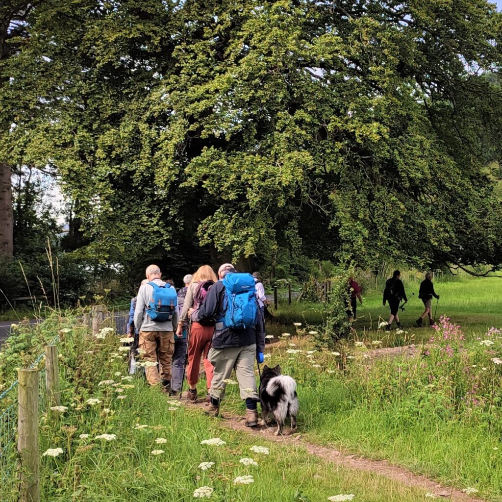
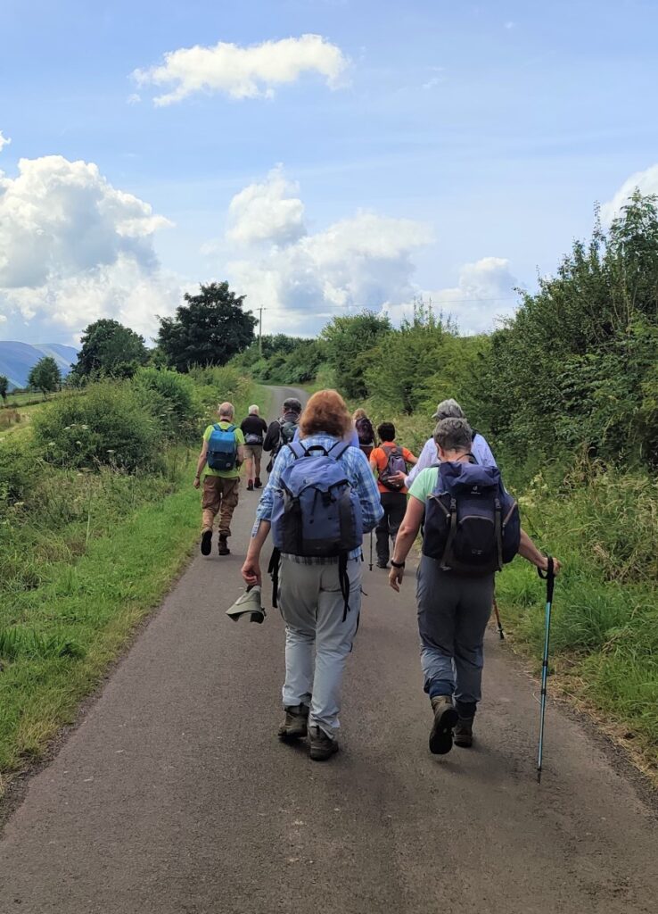
After crossing the bridge, the road veers left – as do we, but walking on a clearly separated path which is well protected from the road. This brings us around the edge of Dunmallard hill to the junction between the A592 and the B5320. Here we cross the A road to pick up a well signed path on the opposite side.
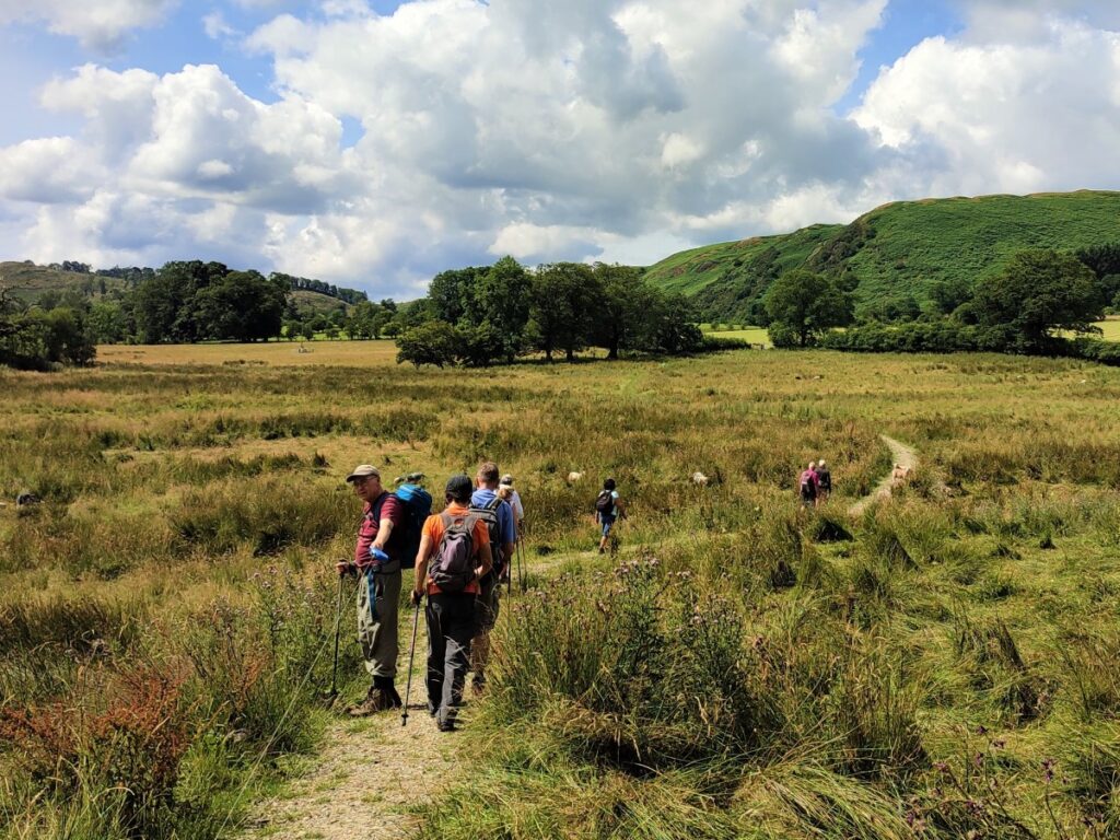
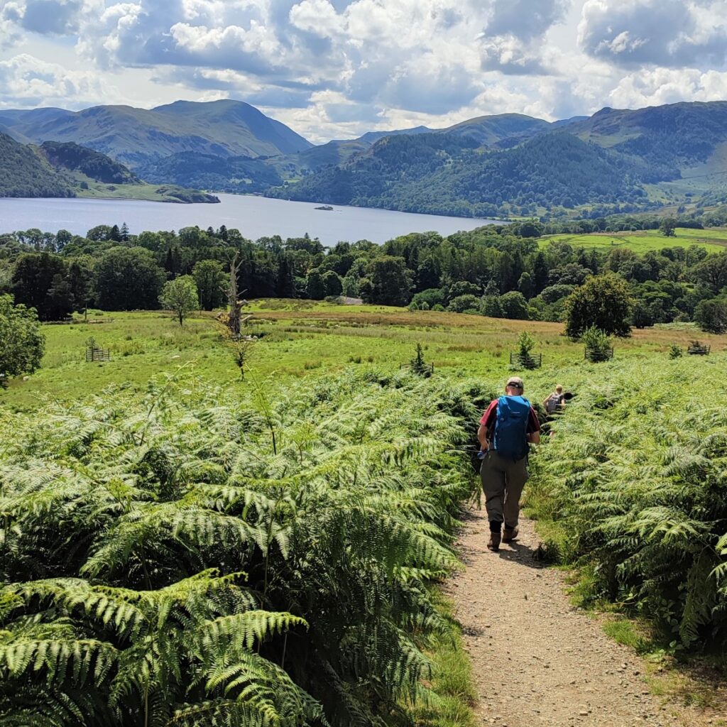
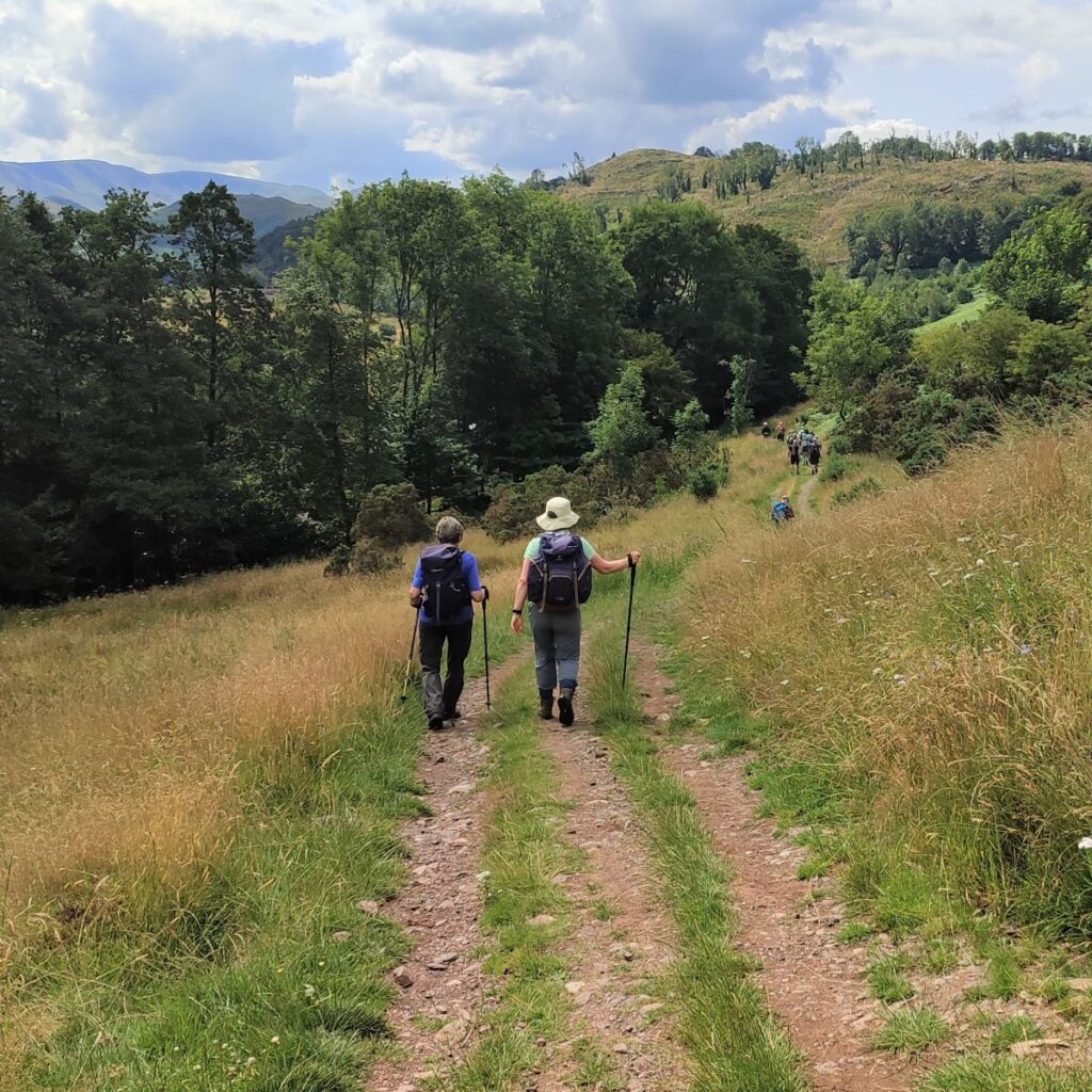
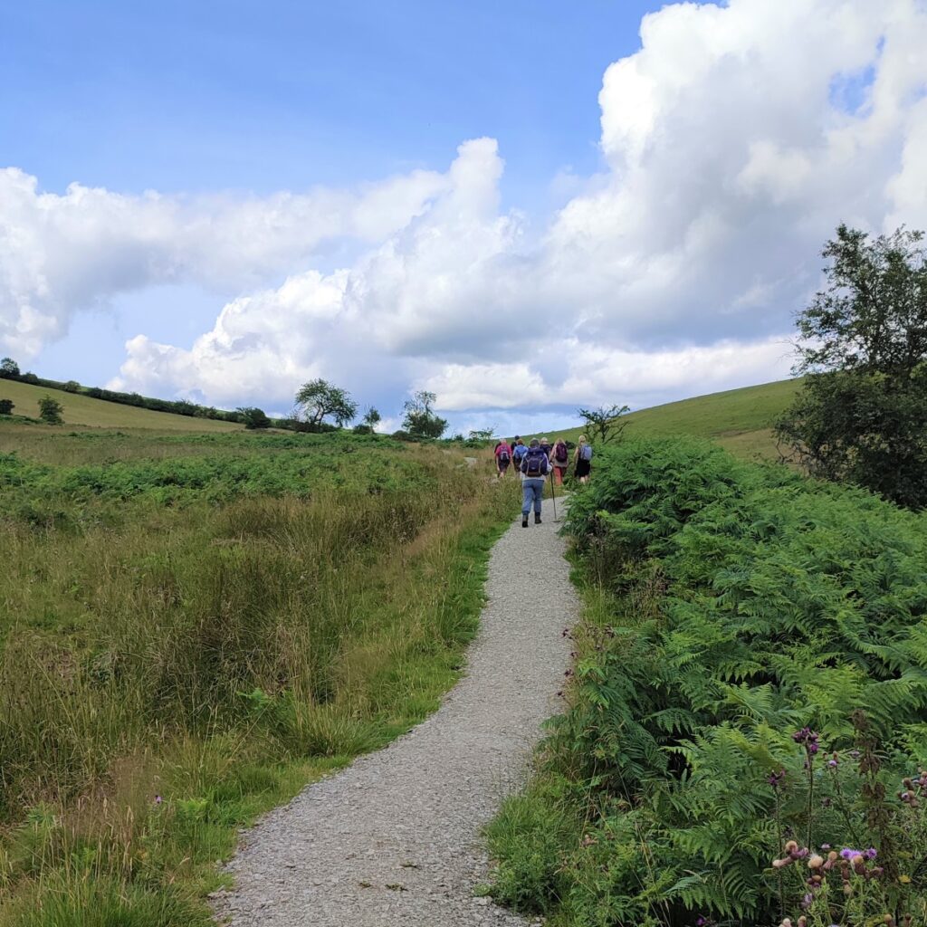
This initially follows the road, but branches almost immediately: The path to the left follows the road around the lakeside, but we take right, marked Ullswater Way and head up toward the rather fine house at Waterfoot. The path routes around the right hand side of the house and then round the back to head out in a generally South easterly direction. At all times the path remains clear and well signposted, so navigation should not be difficult.
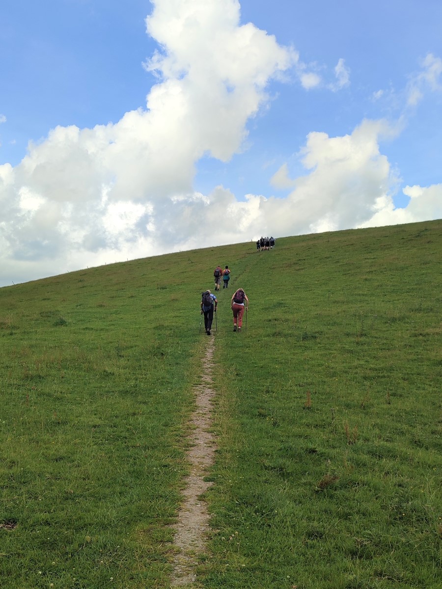
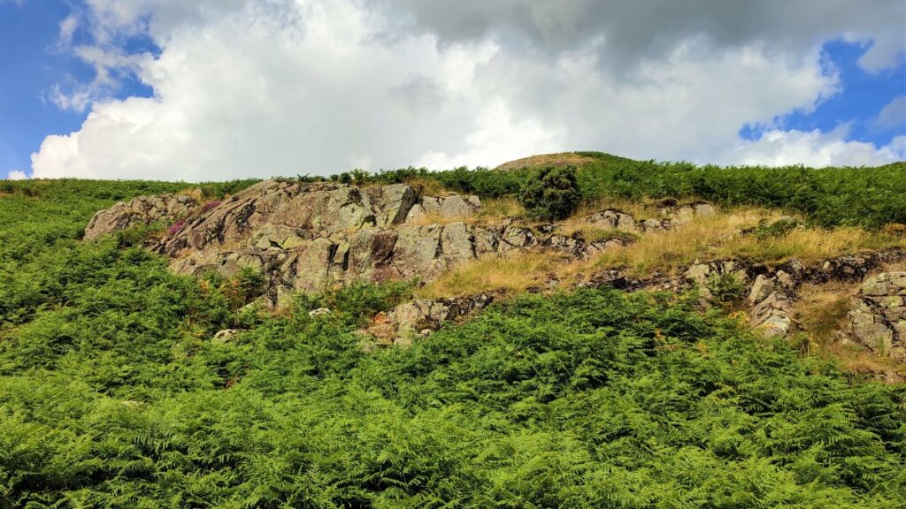
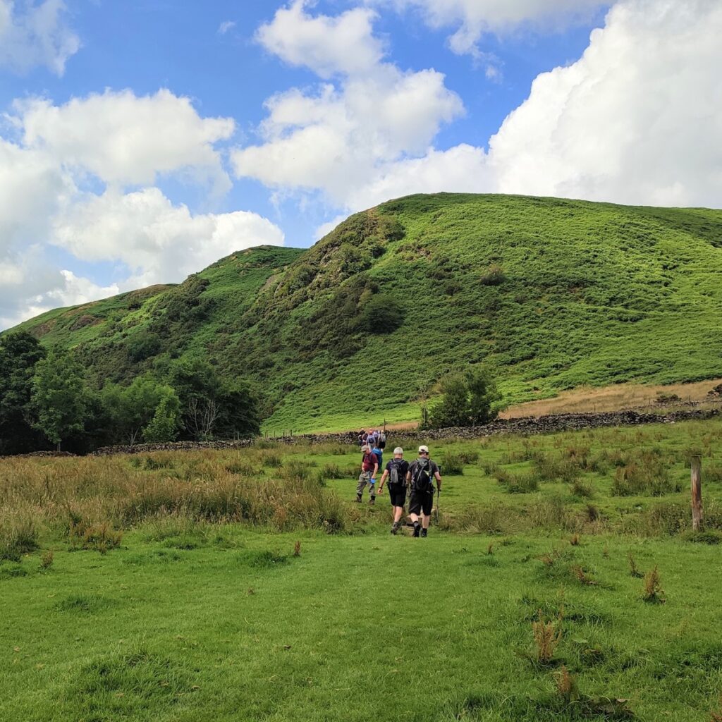
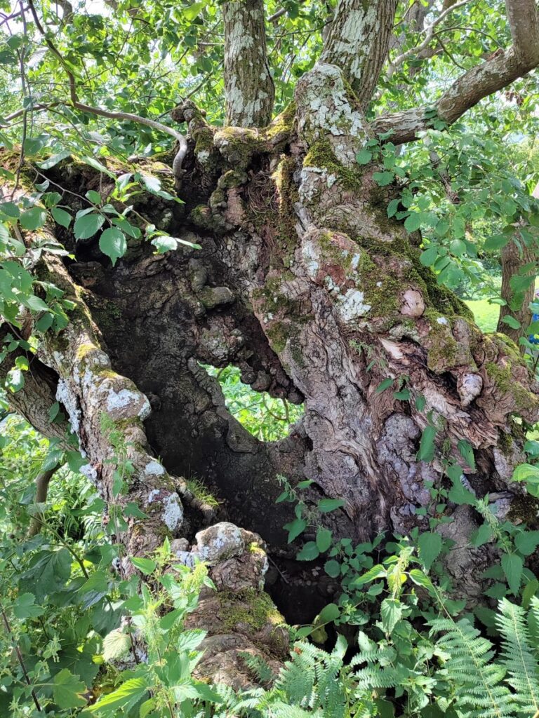
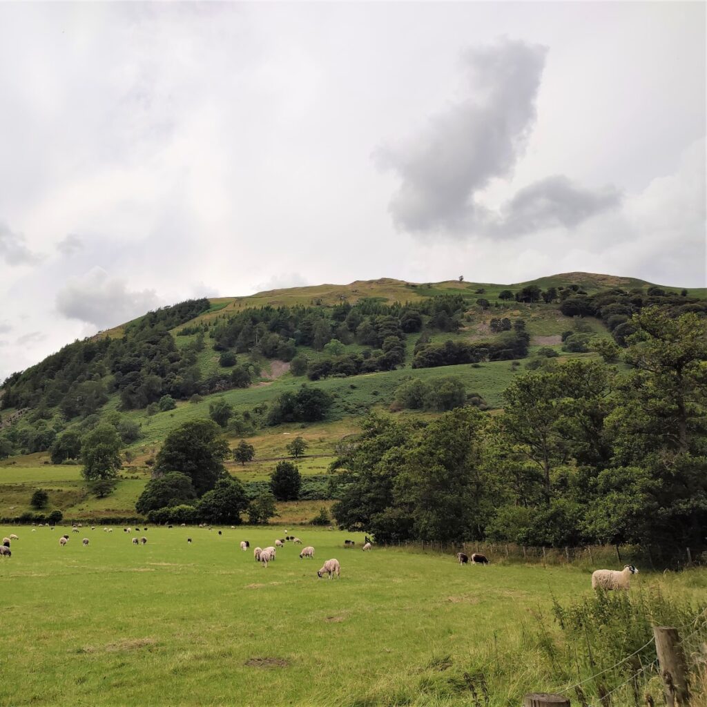
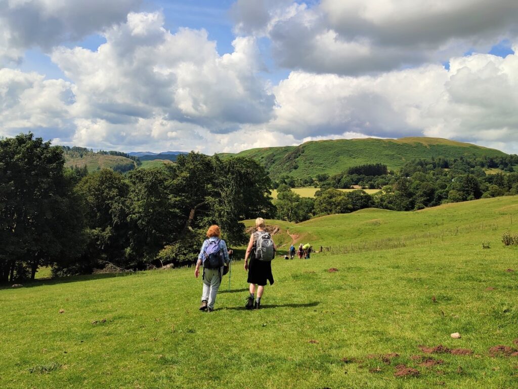
We soon arrive at the corner of a field where we see the mound of Maiden Castle looming over us. The climb up to the castle is quite steep, but the views make the effort worthwhile.
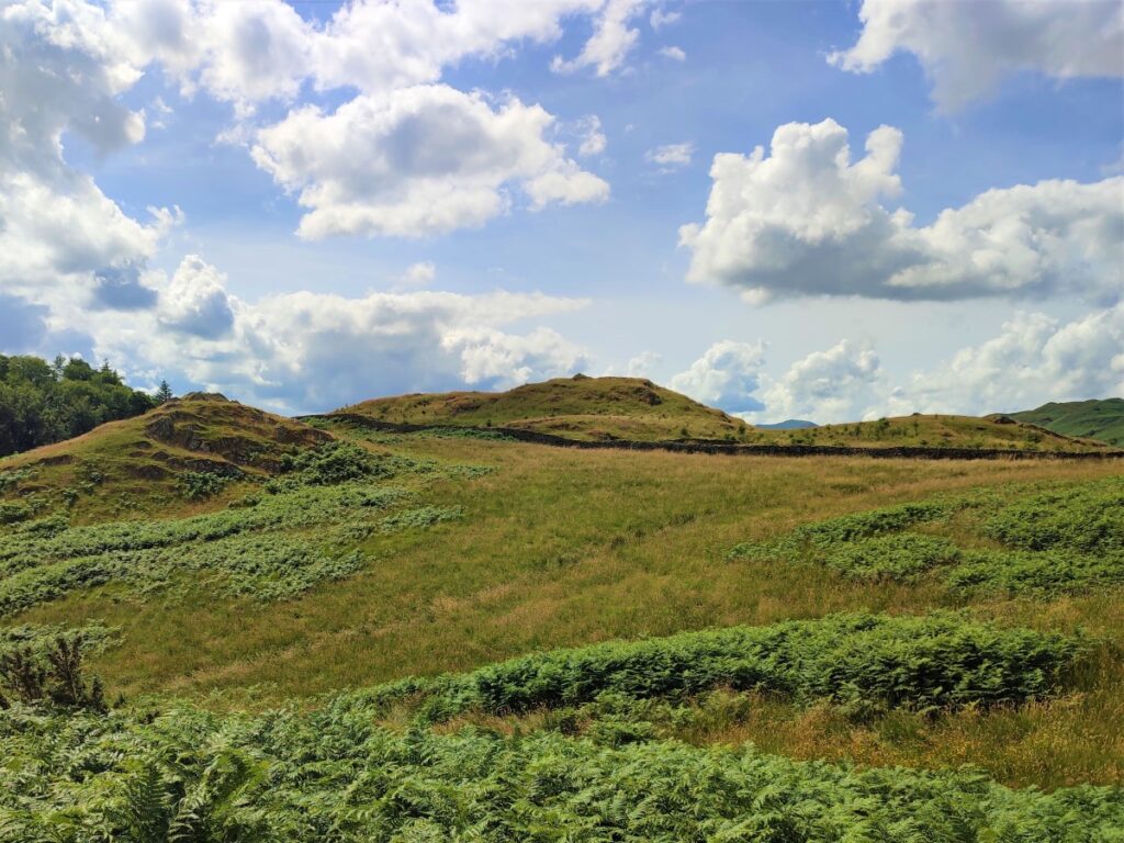
The castle is not a castle in the King Arthur sense – so don’t expect to see much in the way of built structures: It is in fact the remains of an Iron-Age farmstead. The visible remains of Maiden Castle include an 80m diameter circular ditch with banks both inside and outside. When the site was occupied, the ditches would have been deeper and the banks somewhat higher and topped with a fence, giving a good measure of protection.
Within the ditch are two low mounds adjacent to two sunken areas. These are believed to be platforms and livestock paddocks. A family group of 25-30 people probably lived within, using the fenced area to keep the animals and inhabitants safe from raiders at night. The animals would have been let out onto surrounding land during the day.
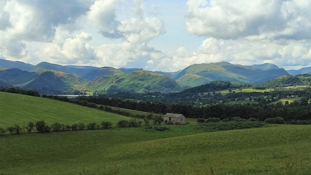
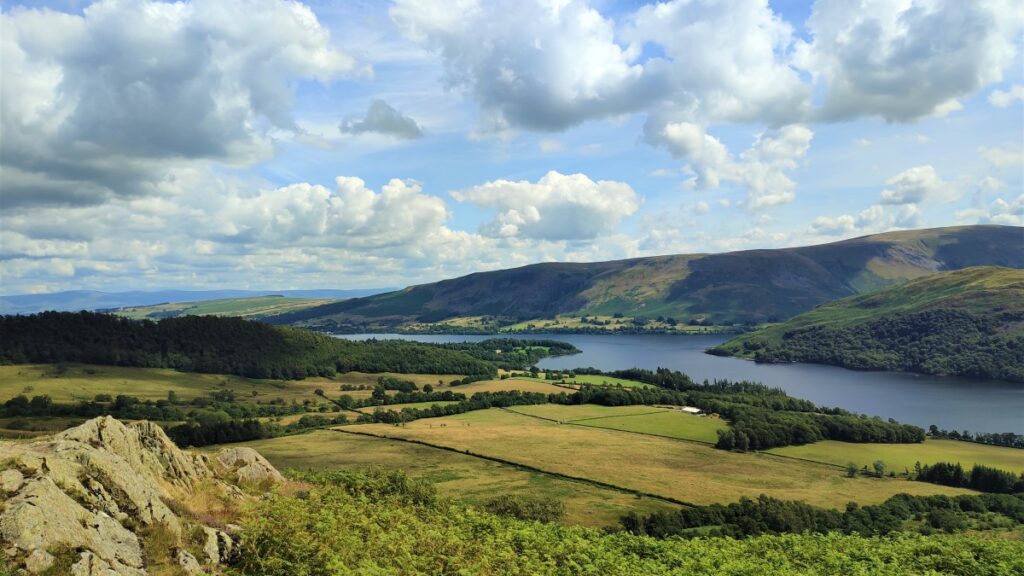
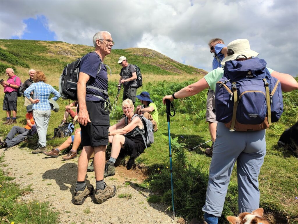
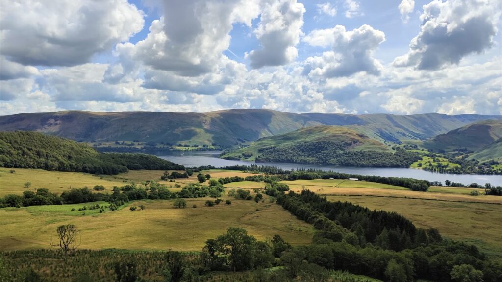
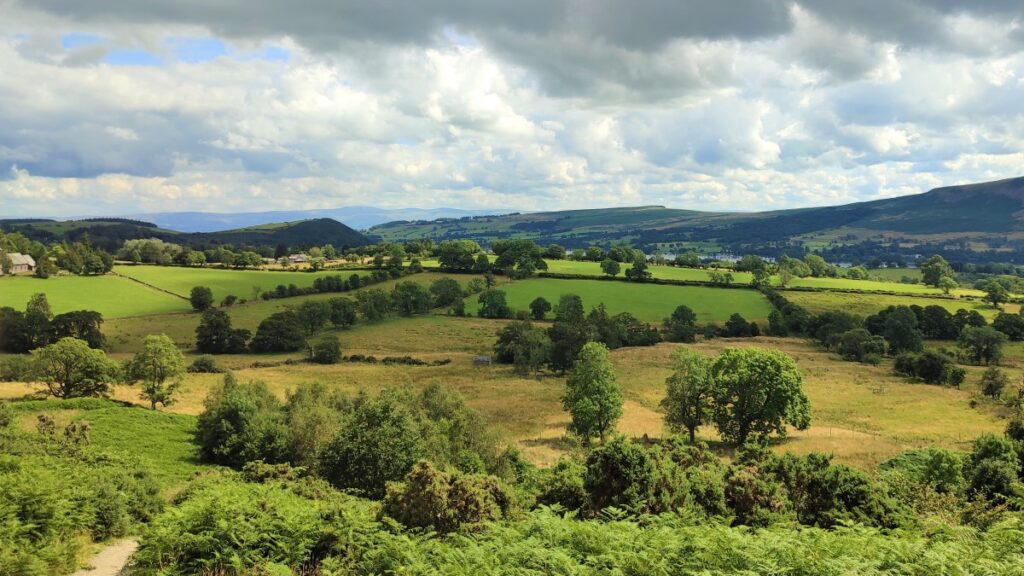
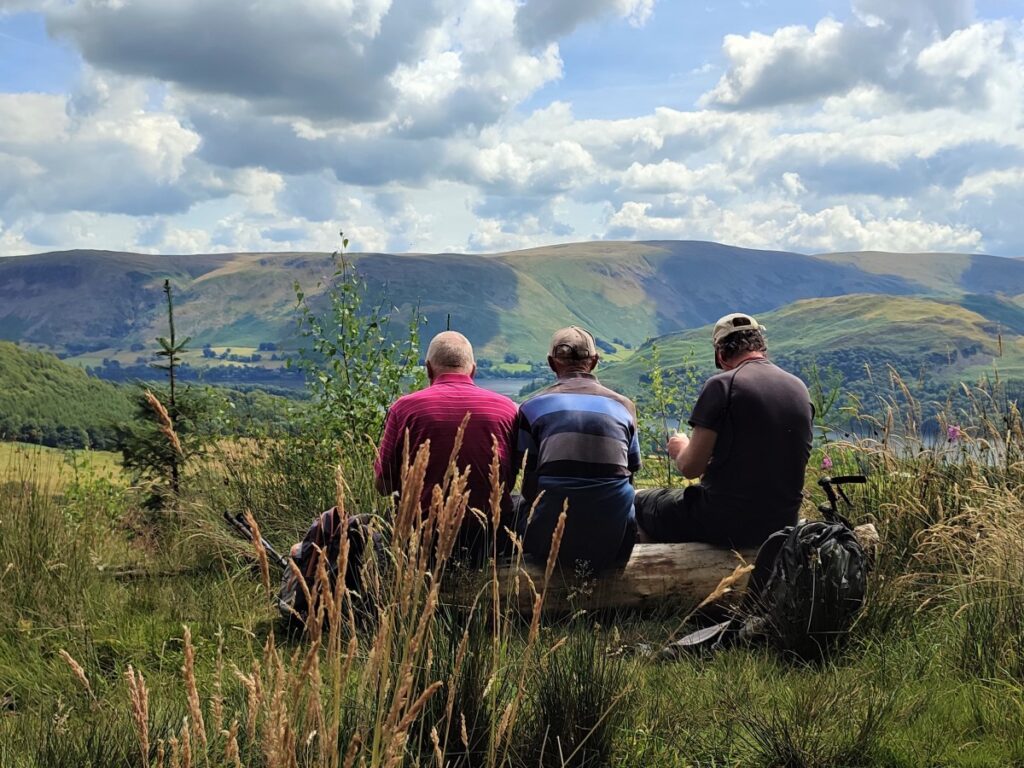
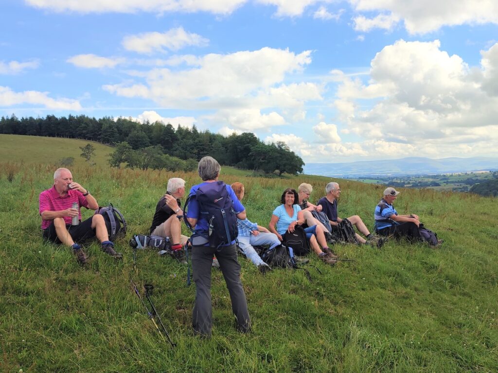
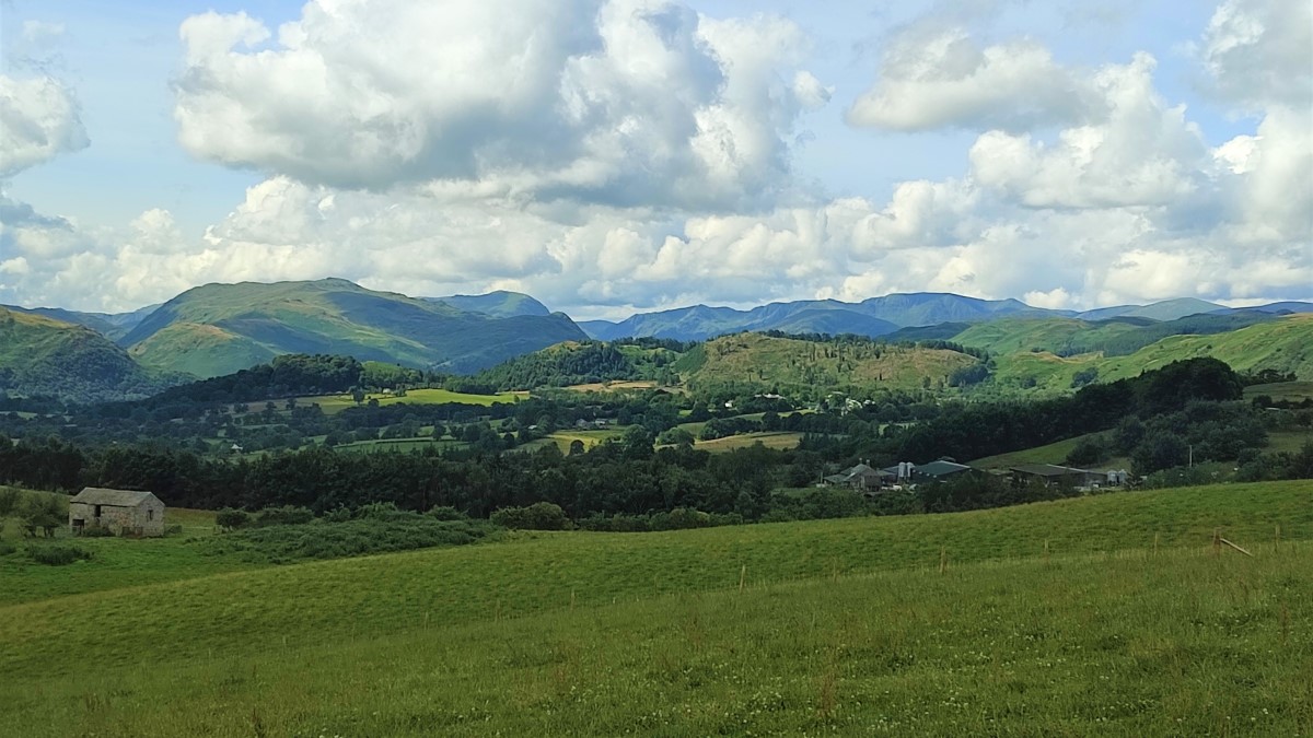
Maiden Castle is now a Scheduled Ancient Monument, and from our point of view, a convenient place to have a short break. The views over the Northern end of Ullswater and over to Barton Fell and beyond are worth savouring.
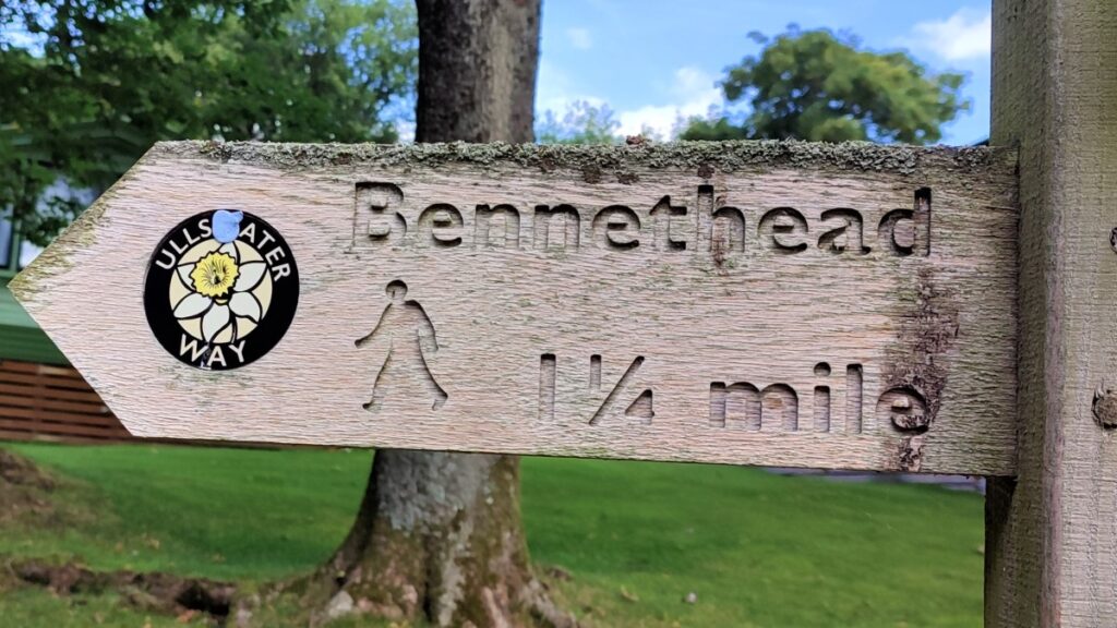
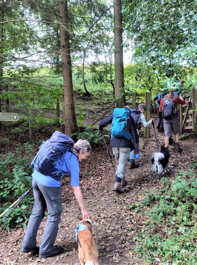
From the Castle, we head continue along the Ullswater Way – the path remains clear, and initially heads West – crossing a number of field boundaries before we arrive at a minor road at Bennethead Banks. We turn left along the road and head into Wreay and then Bennethead.
Just as we enter Bennethead, another minor road joins from the left – ignore this and notice a short while later that the road forks. The branch to the left is the one we take – but again signage is good, and so navigation should be easy.
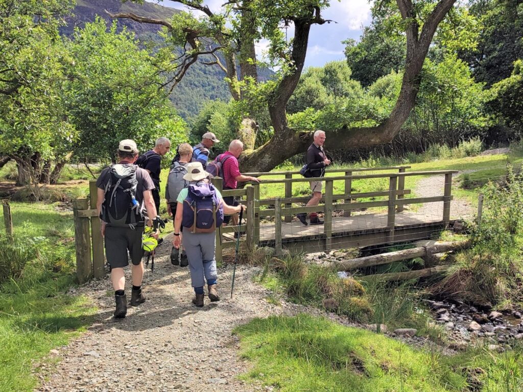
We pass the last building in Bennethead, and then the road veers slightly to the right. As it does we take the signposted route on the left, heading downhill, and now in a South-westerly direction. After crossing the second field boundary, the path forks, with the Ullswater Way path the more obvious and better used option on the right.
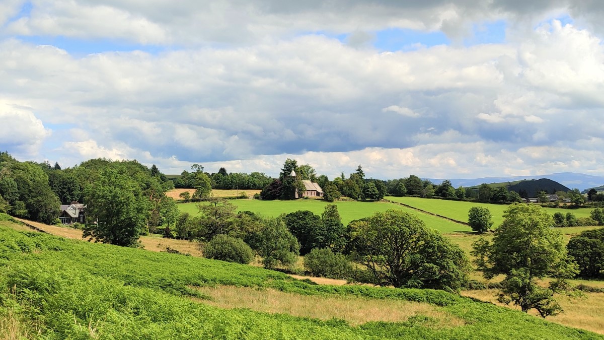
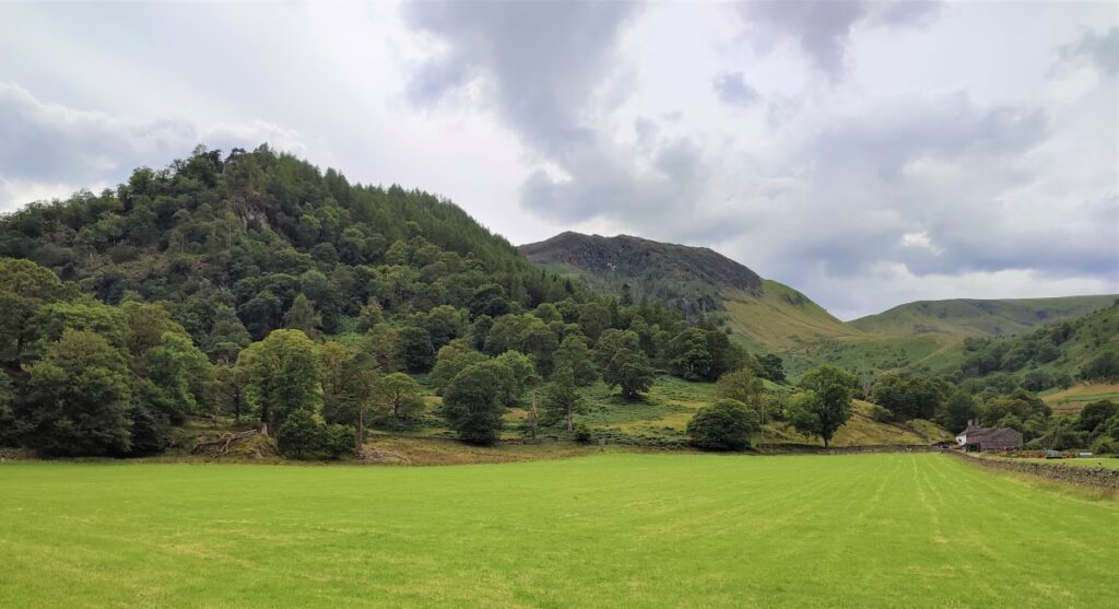
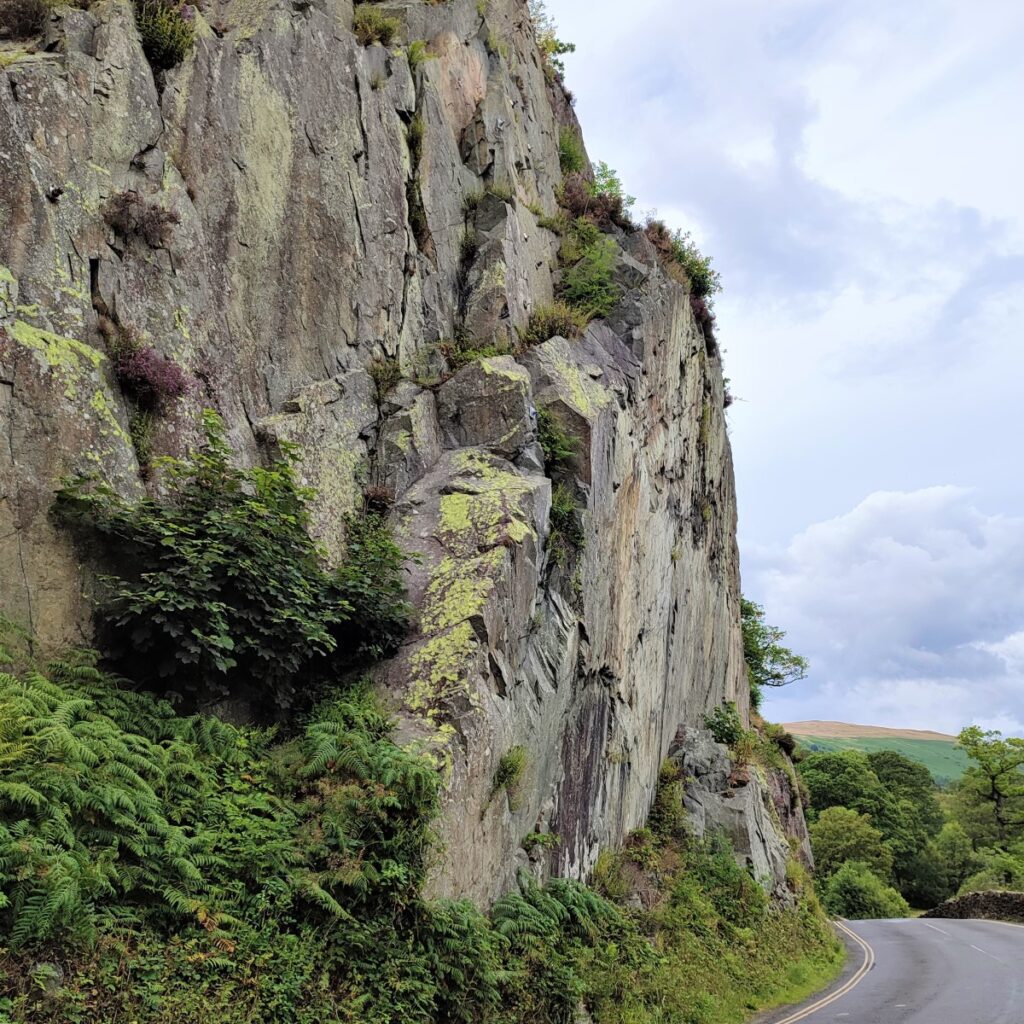
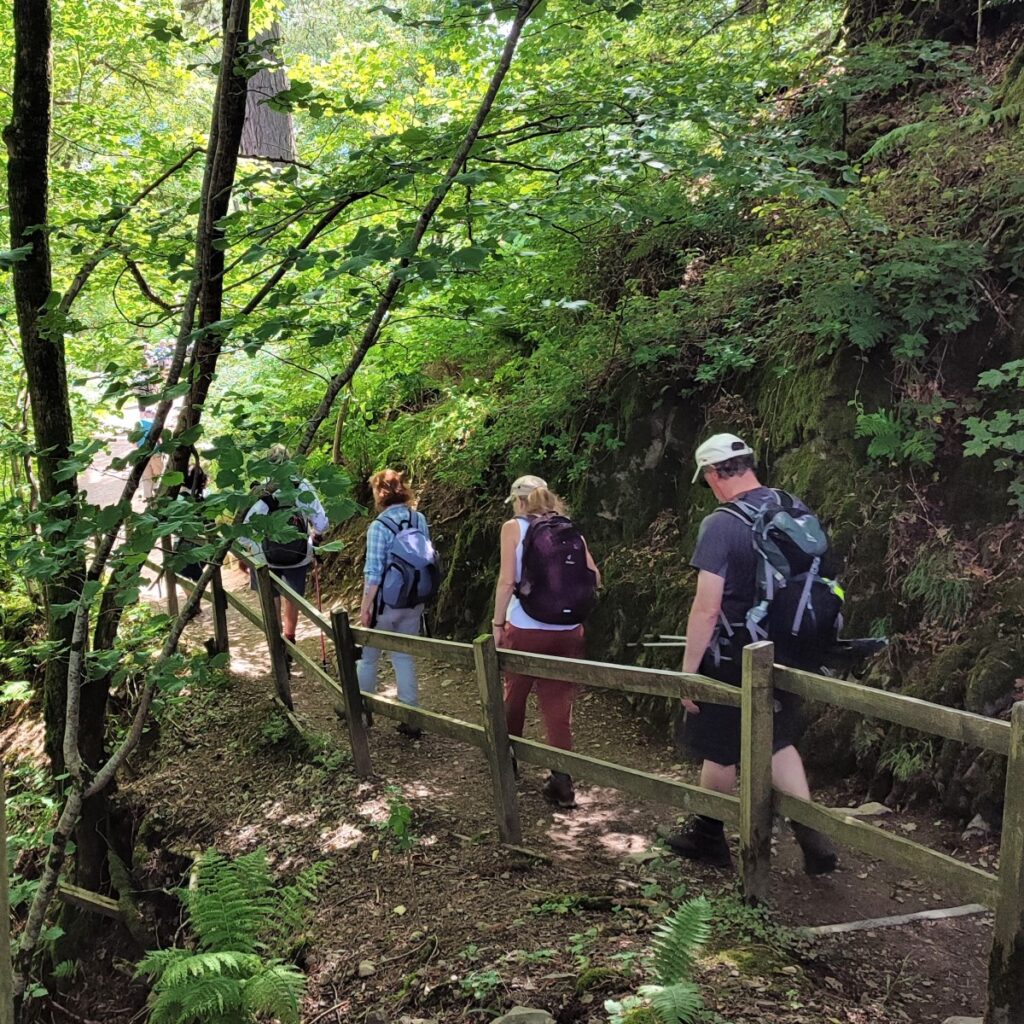
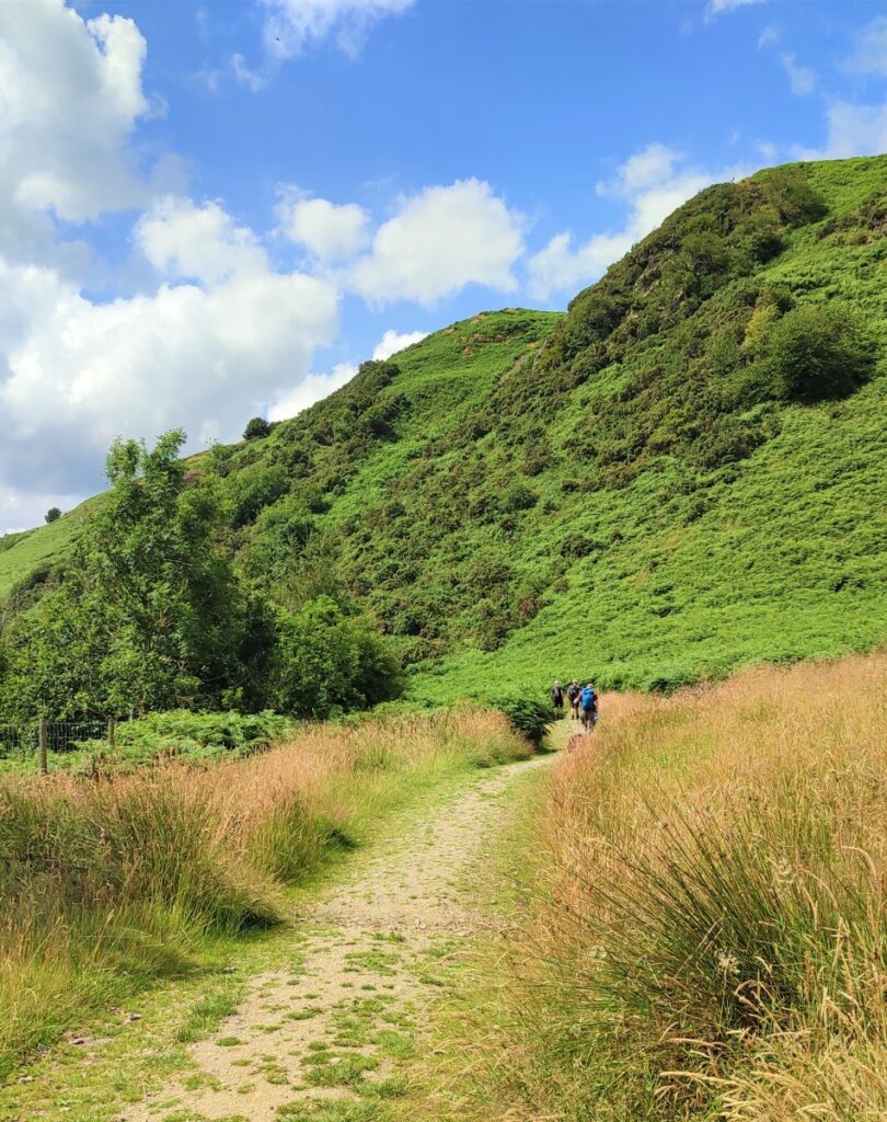
The path takes us down to another minor road – which we cross with the signed route continuing opposite. As we follow the path round to the left, the ground becomes steeper and we need to take care as we track around the contours of Priest’s Crag. Take a moment though to look back and notice the pretty church of All Saints Watermillock which is some way out of the village, seemingly in the middle of nowhere, with just the rectory for company.
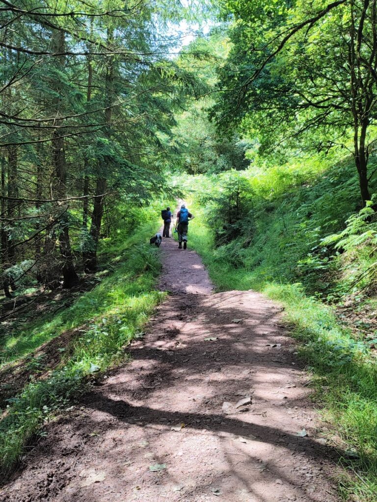
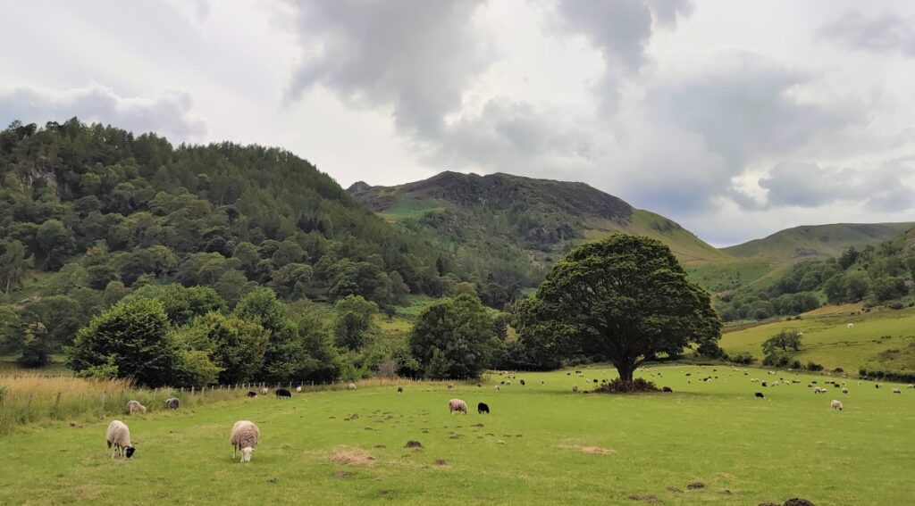
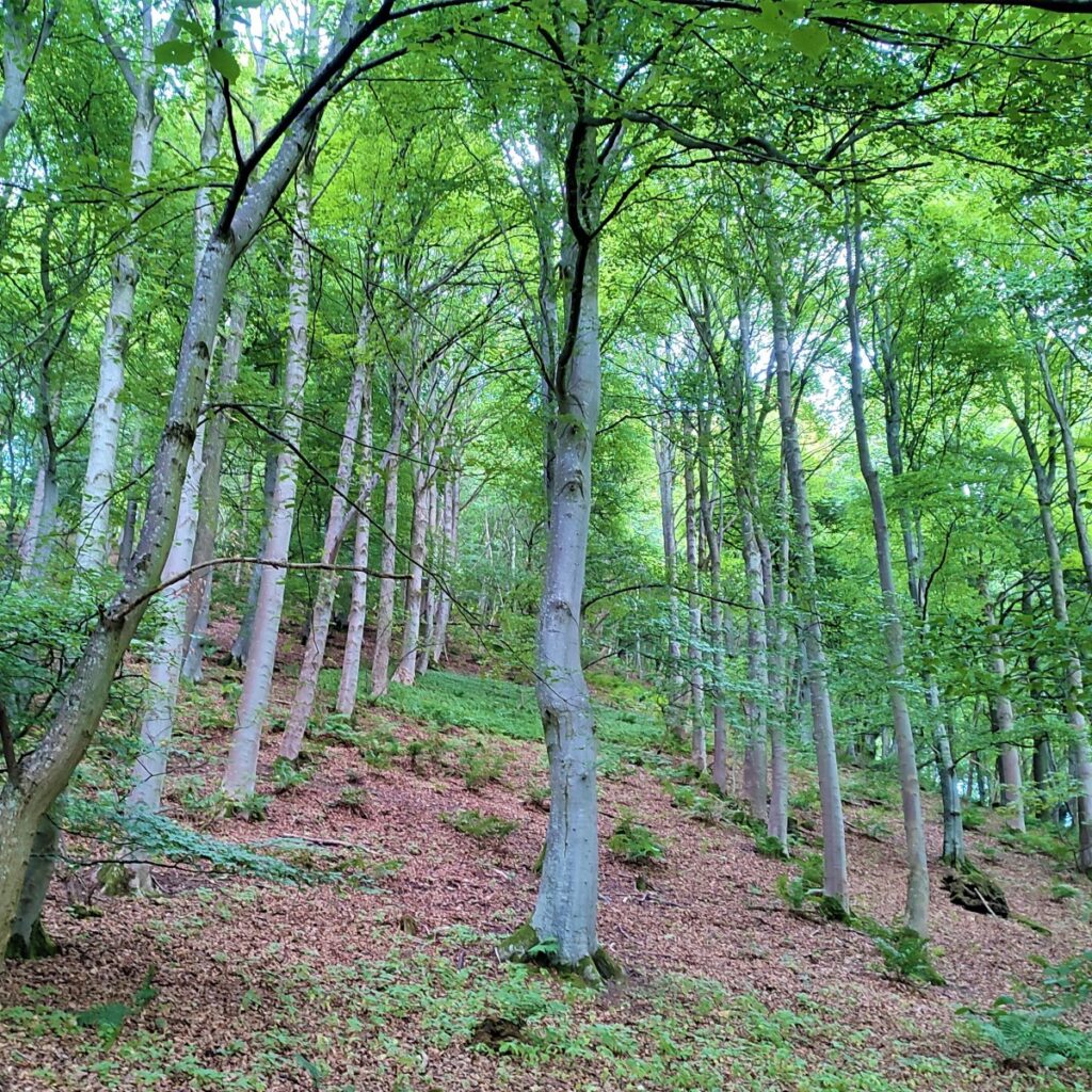
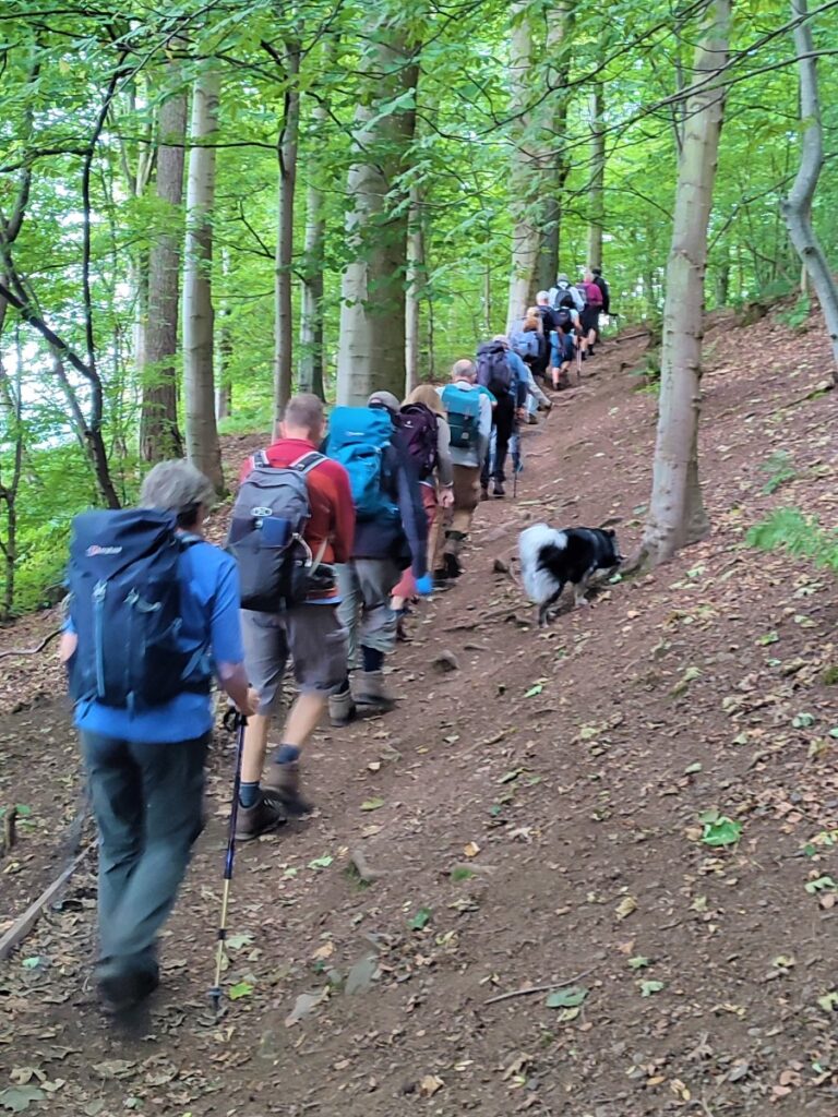
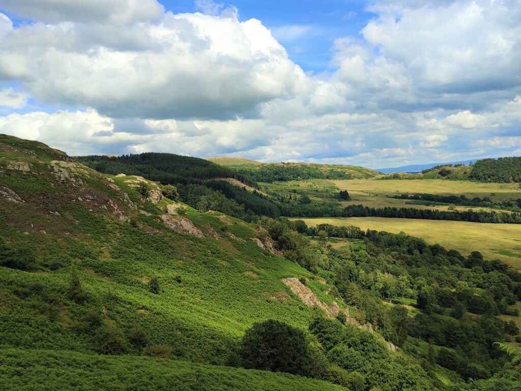
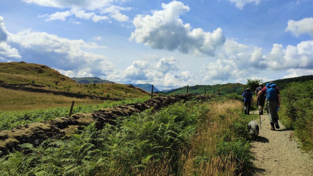
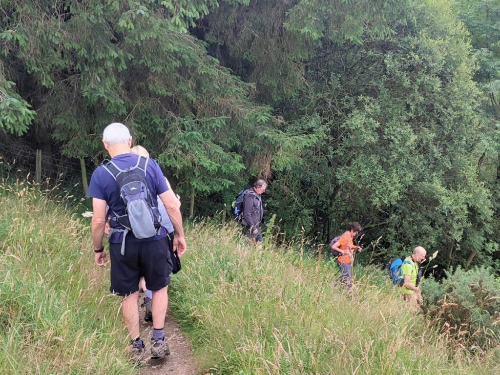
We continue along the contours of Priests Crag, and then into woodland at Swinburn’s Park. The path heads South-west through the woods, before emerging at Gowbarrow Fell.
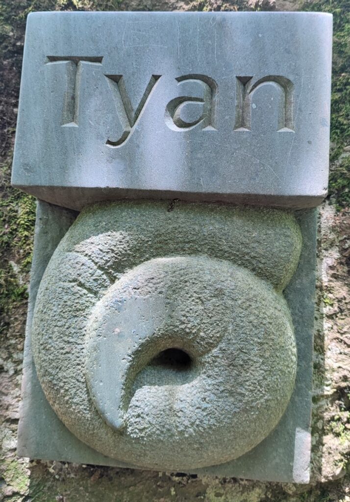
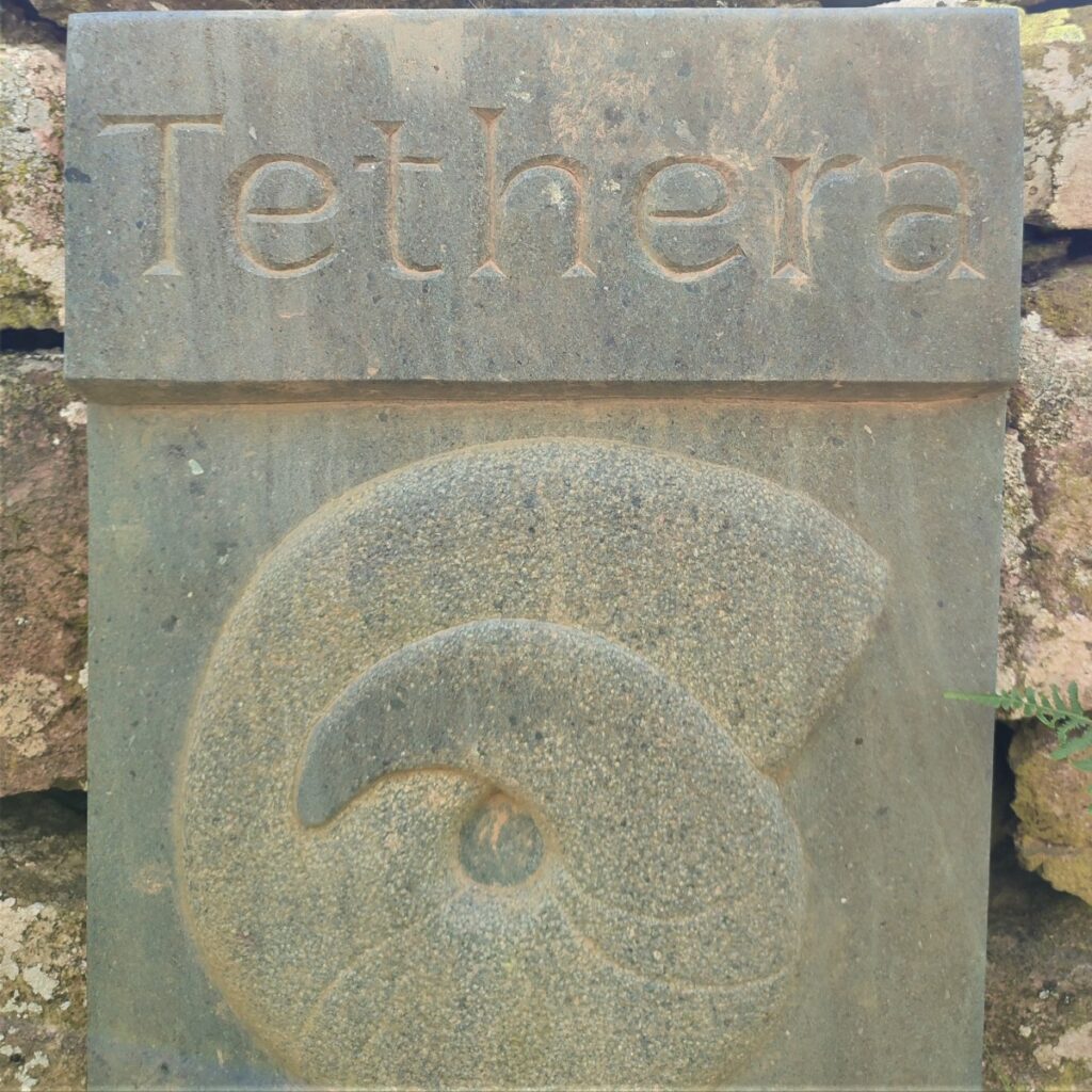
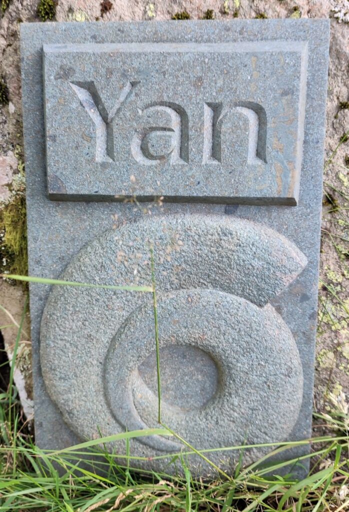
Along the section from Watermillock to Gowbarrow an art installation known as the Herdwick Stones celebrates the role that shepherding plays in the cultural heritage of the Ullswater valley and the Lake District in general.
The Herdwick sheep is the native breed of the Lake District and is thought to have been brought to this country by Norse settlers over 1000 years ago. The name comes from the Old Norse word “herdvyck” meaning pasture land (as opposed to arable land). It is a minority breed with 95% of the 50,000 sheep living within a 14 mile radius of Coniston.
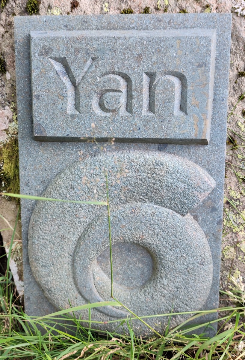
The art, created by Charlotte Ruse and installed in 2019 celebrates the counting systems used by traditional Cumbrian shepherds: There are sheep-counting systems all over the British Isles mostly Celtic in origin but all slightly different from one another. Often pairs of adjacent numbers (1 and 2, 3 and 4 etc) resemble each other and rhyme. In this part of Cumbria, yan and tyan are 1 and 2; tethera and methera are 3 and 4. The counting system only goes to 20 but shepherds can count in multiples of 20 by shifting a stone from one pocket to another each time they start a new set.
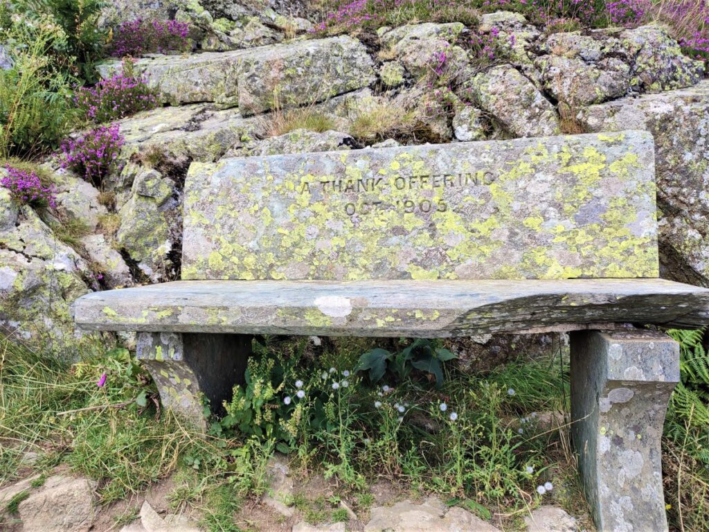
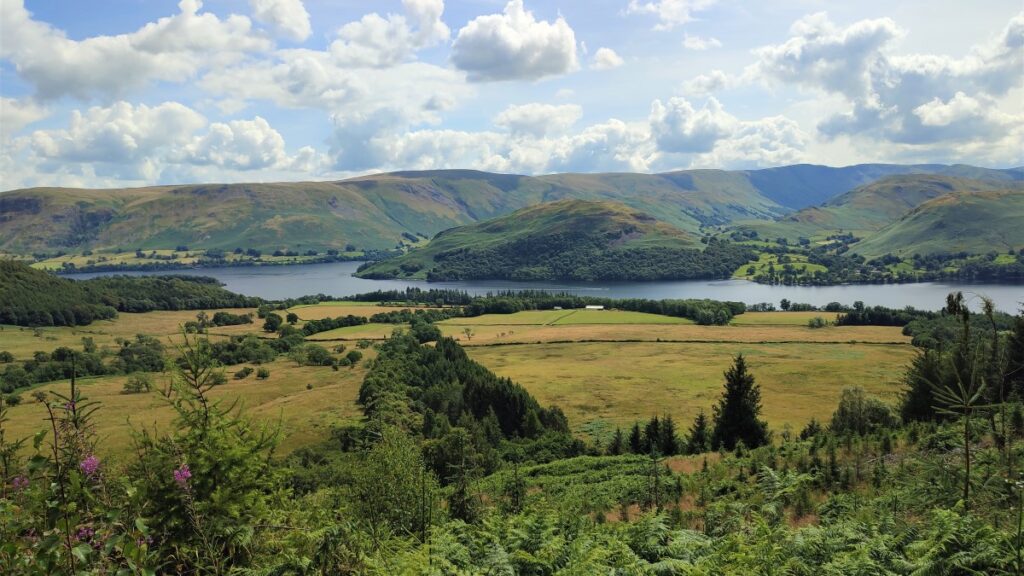
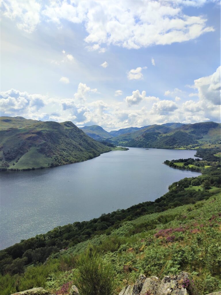
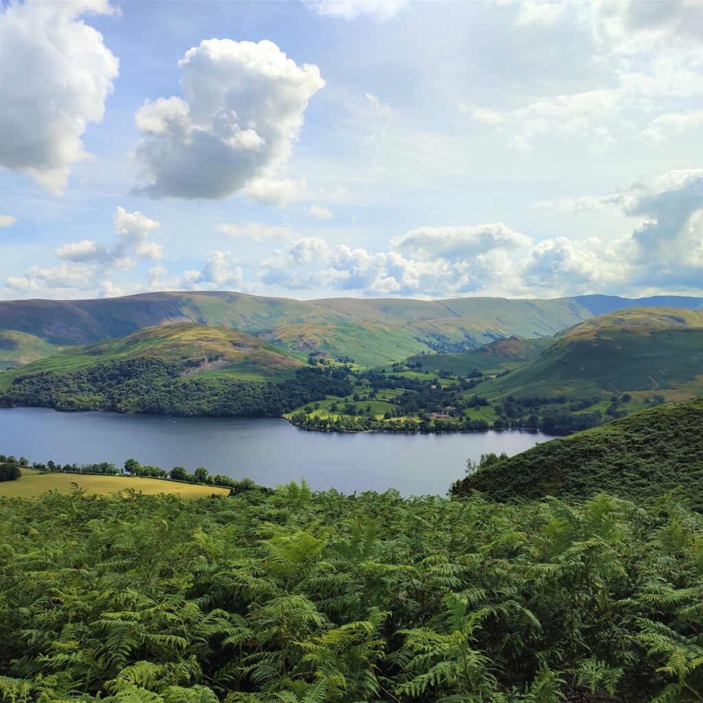
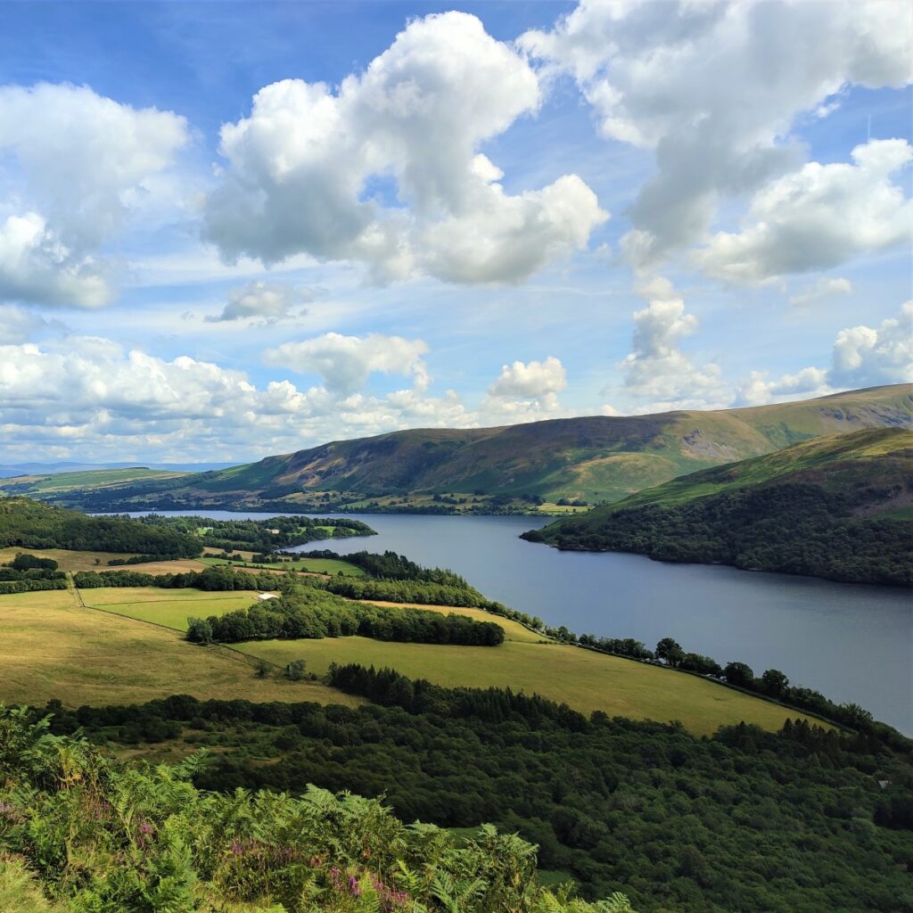
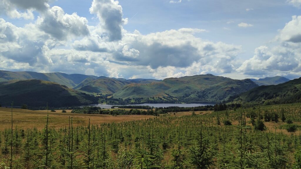
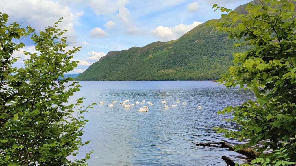
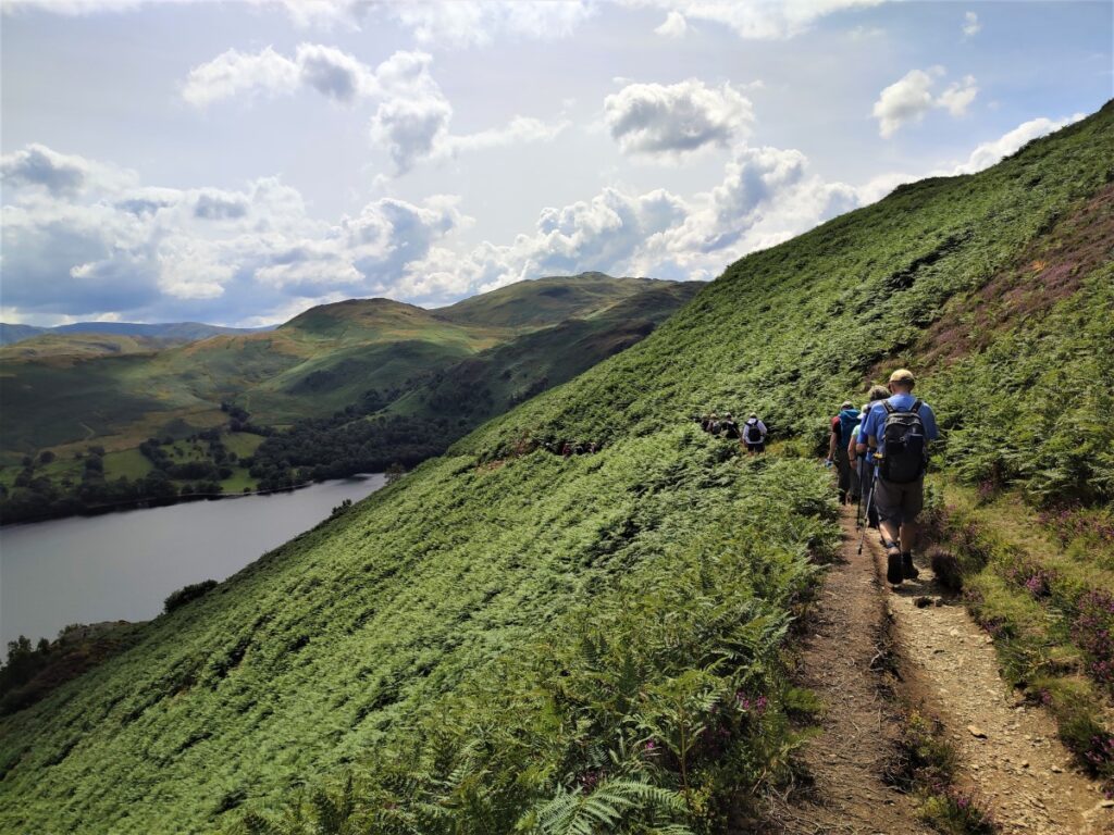
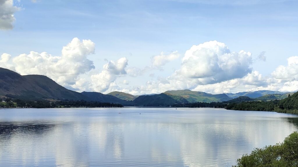
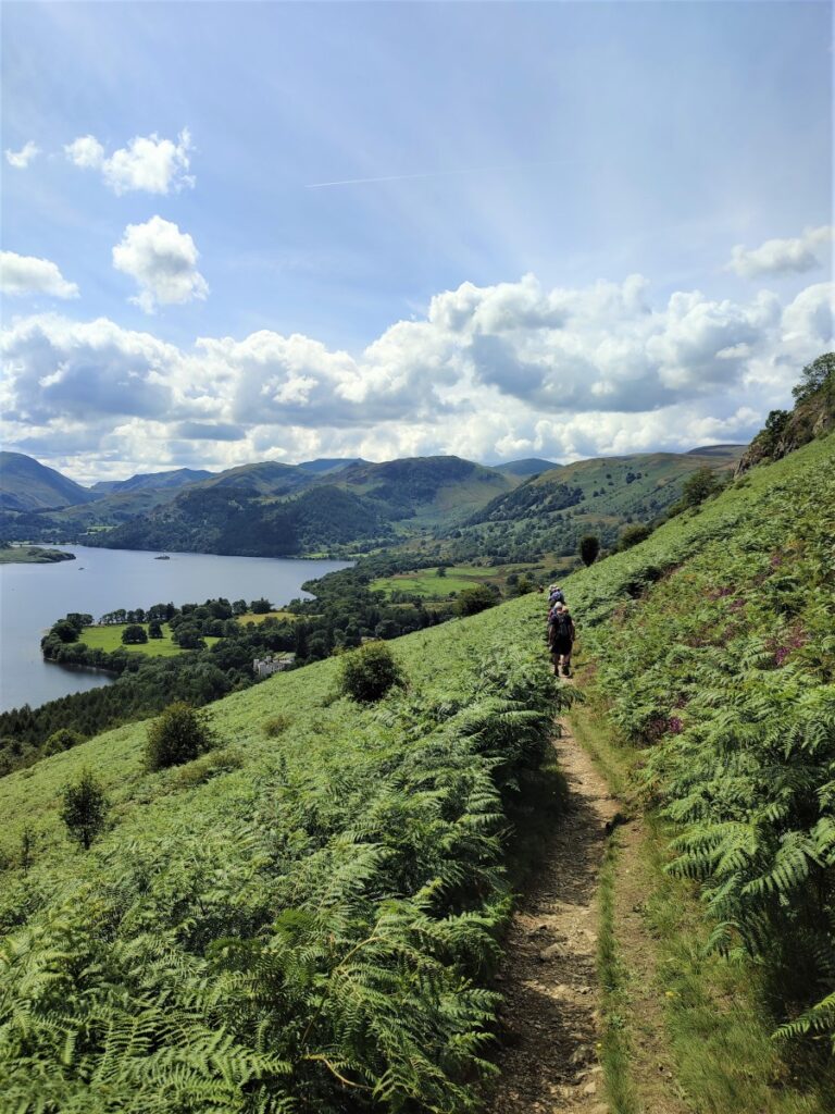
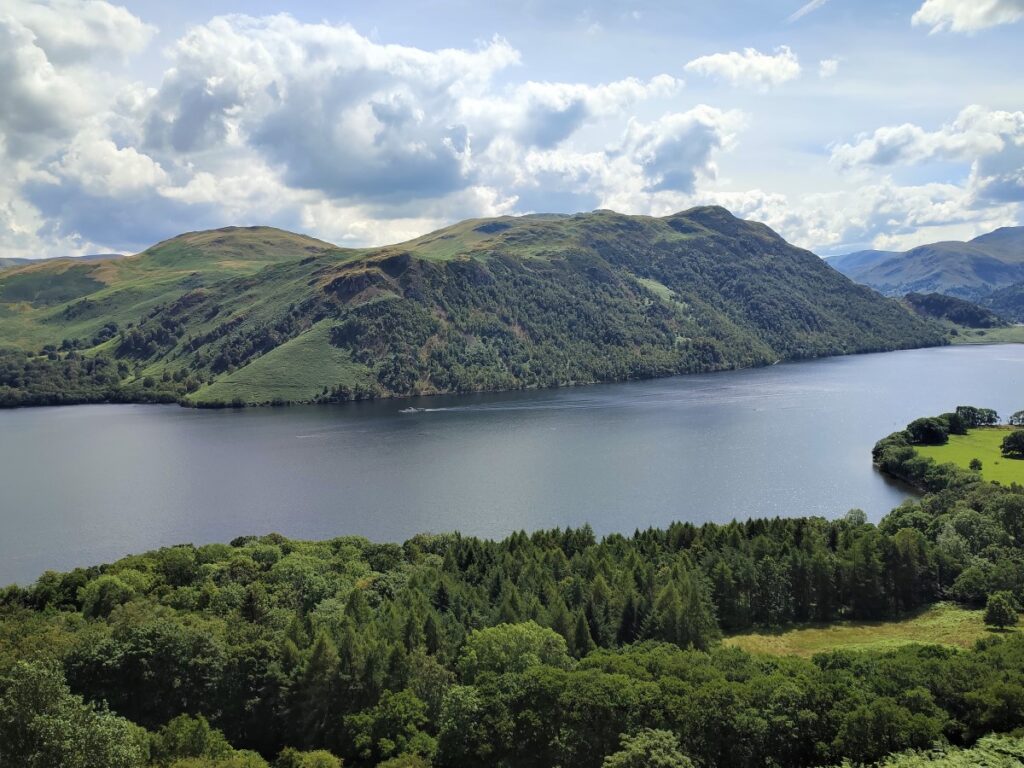
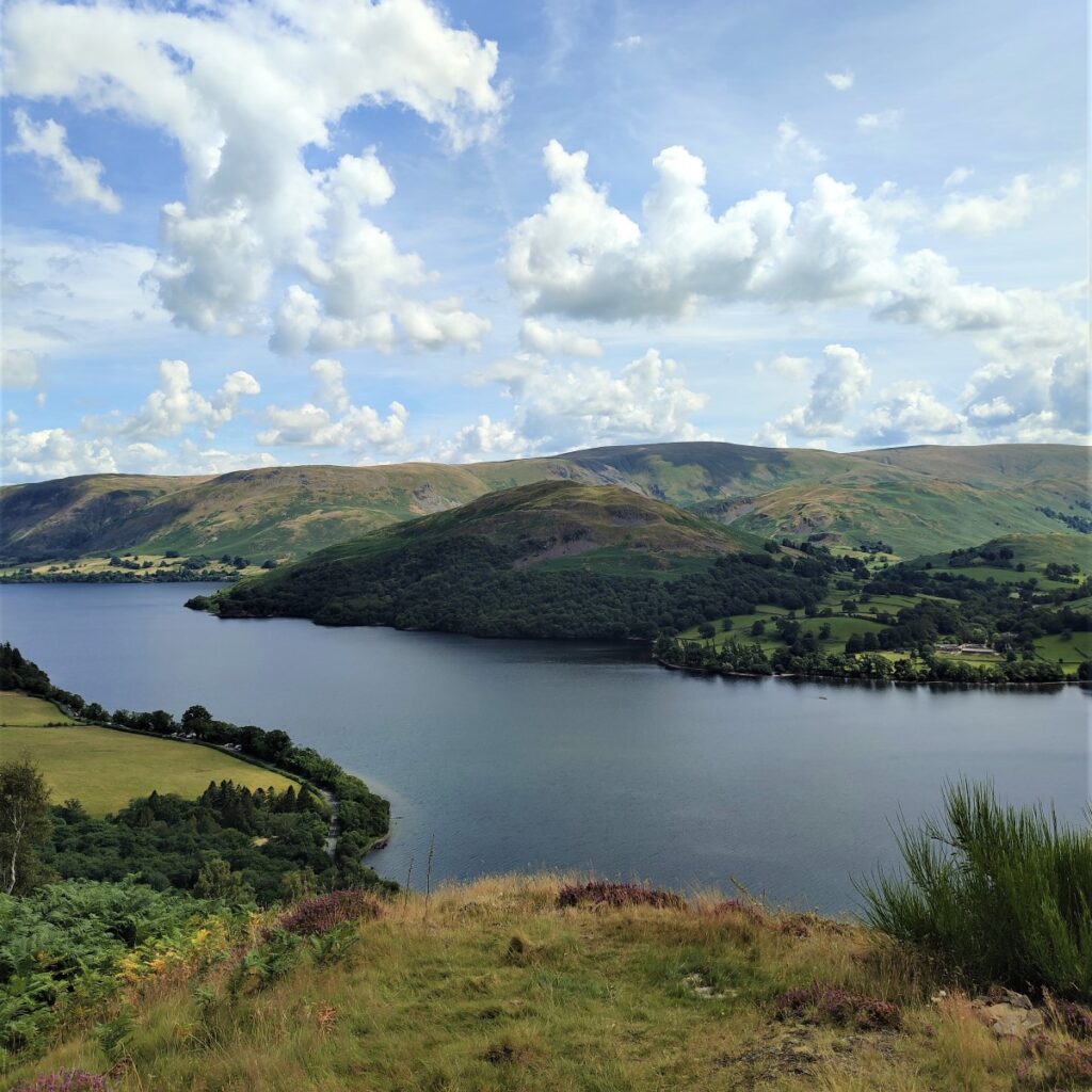
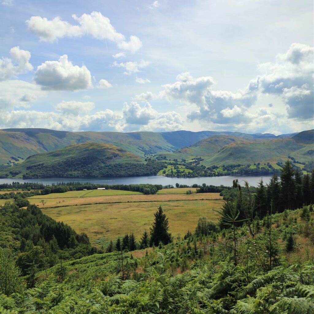
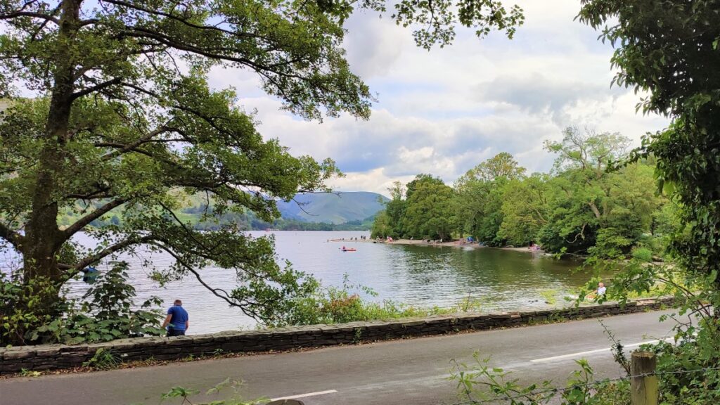
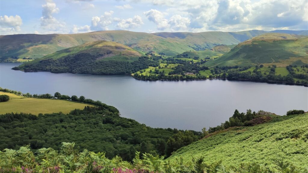
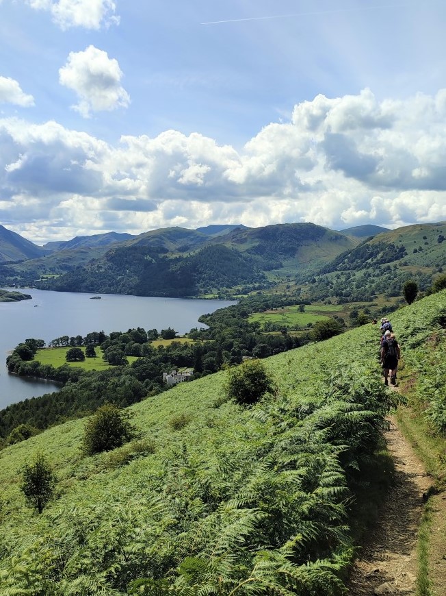
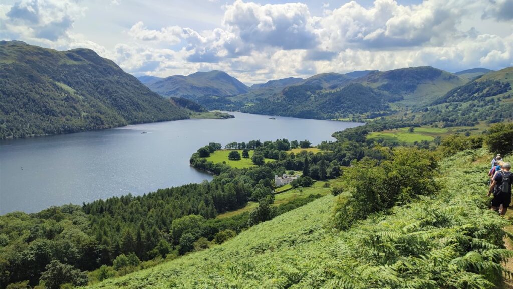
Our path continues, tracking around the contours of Gowbarrow Fell, getting ever closer to the lake, until we arrive at the memorial seat where we get an excellent view of the full length of Ullswater for the first time.
From here it is easy to appreciate that Ullswater is the second largest lake in the Lake District – at just under 7 miles in length. That makes it larger than Coniston, so it’s not surprising tht Donald Campbell used Ullswater for some of his record attempts prior to his accident on Coniston – in 1955 he broke the 200mph barrier on Ullswater.
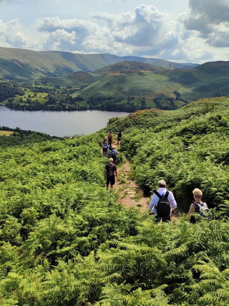
From the memorial seat we track west along the contours and then gently downhill toward Aira Force. As we do so, it is worth noting that the path here is often narrow, and with a steep fall on the left – so take care please.
Below and ahead on the flatter land next to the lake we see Lyulph’s Tower: at first glance this looks like a medieval castle, with crenelated walls and octagonal towers. A closer look will show, however, that the wall is actually backing for a rather nice, sturdy, white-painted manor-house.
So Lyulph’s Tower is a folly serving as a hunting lodge built in around 1795 by Charles Howard, 11th Duke of Norfolk and owner of the considerable Greystoke Castle estate 10 miles to the north. He called his eccentric lodge Lyulph’s Tower, after Sigulf or Llyulph de Greystoke, thought to be the first baron of Greystoke.
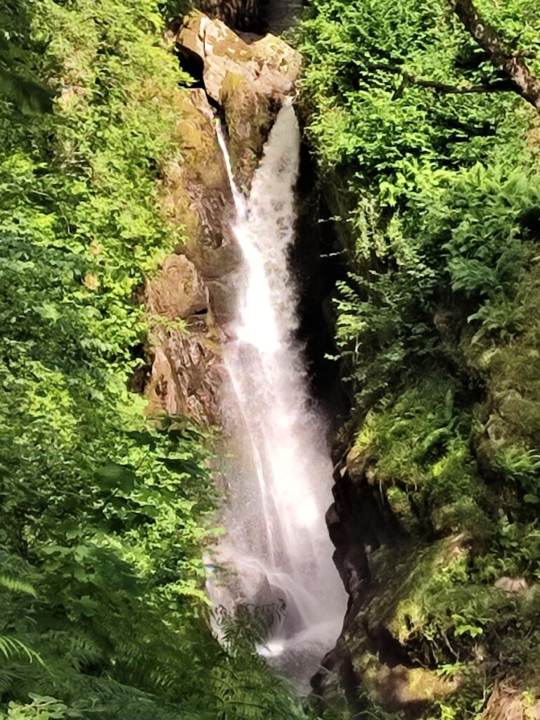
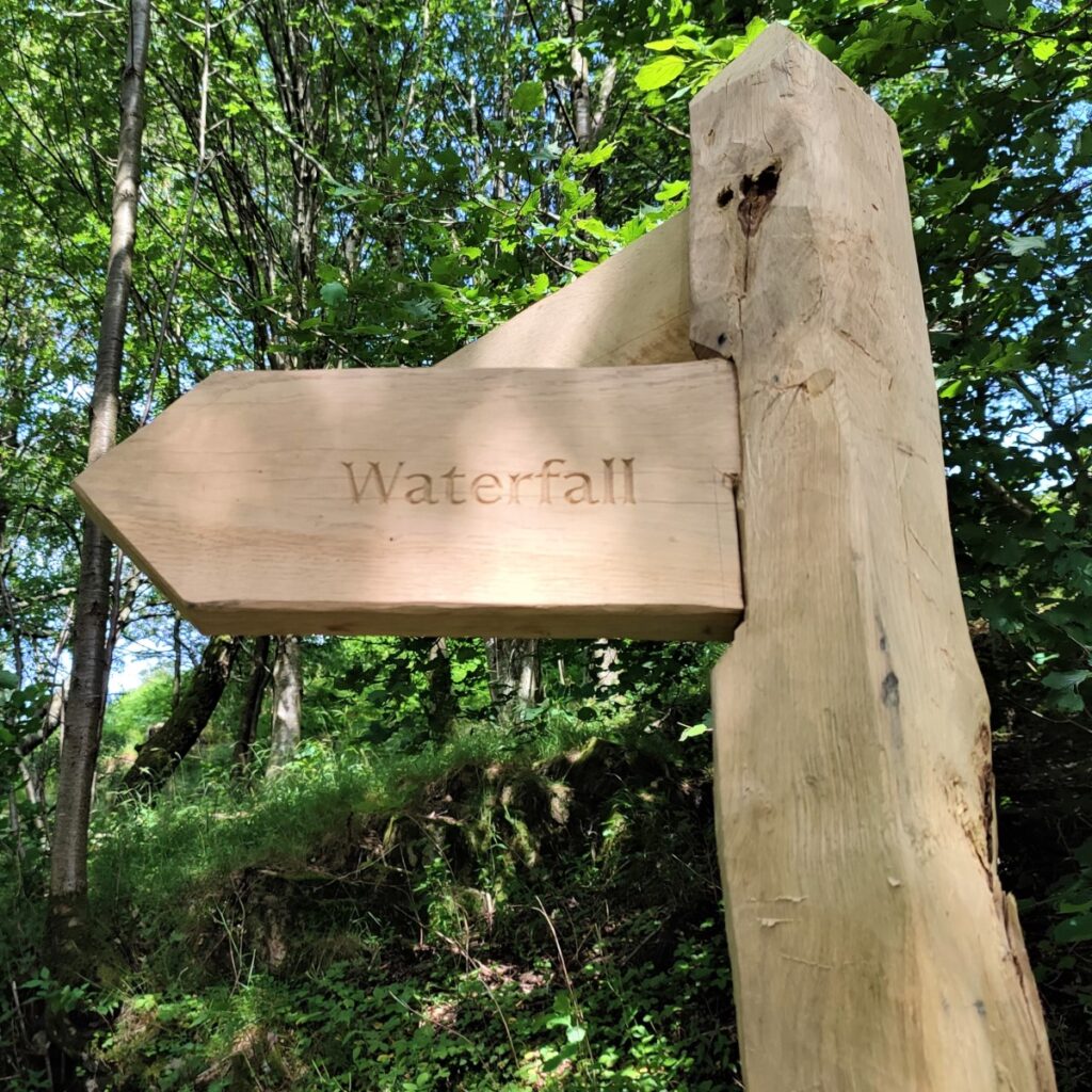
The path continues to track around the contours, and as it does so, we veer right to approach Aira force on a North-westerly heading.
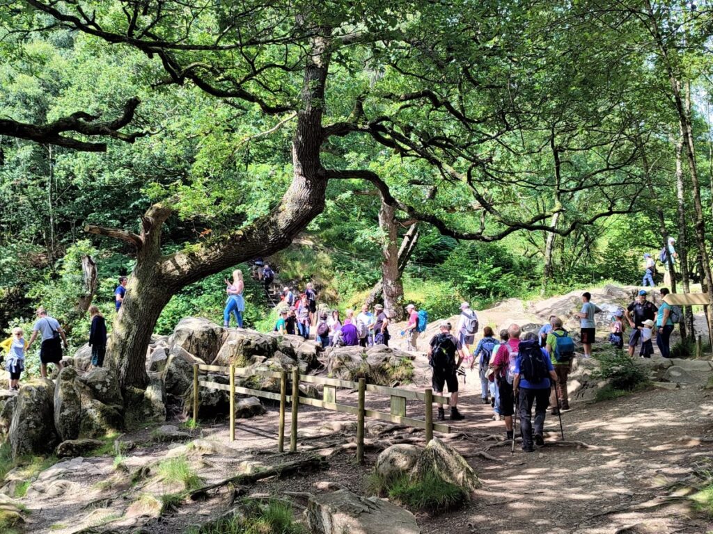
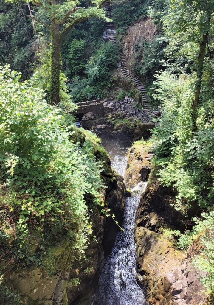
The waterfall is on land owned now by the National Trust, but access is free, because we are on a public footpath; If you arrive by car, a parking fee is payable. Until recently, excellent views of the waterfall could be enjoyed from viewing platforms, but a treefall means that this facility is currently closed. Despite this the waterfall is still worth seeing, and the whole site is pleasant with toilets and a café available.
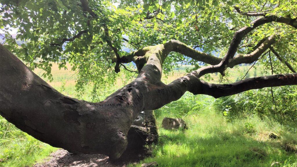
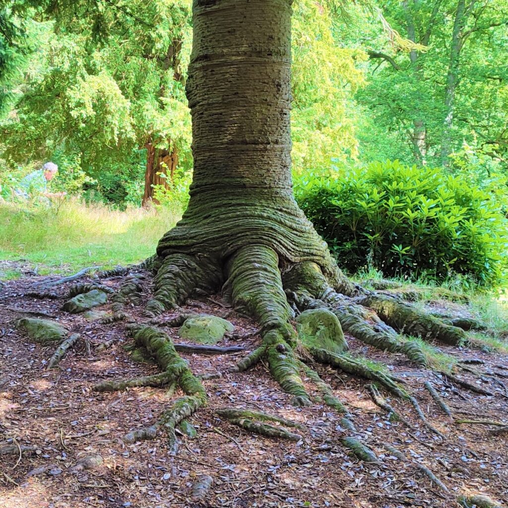
One of the most striking features of the woodland around Aira Force is that the trees are largely non-native, and this is because in the 1780’s the Howard family of Lyulph’s Tower, planted over half a million native and ornamental trees, and established a network of tracks, footpaths and bridges.
Included on the site was an arboretum below Aira Force, featuring over 200 specimen conifers (firs, pines, spruces and cedars) from all over the world, including a Sitka Spruce now 36m high.
The bus to Pooley Bridge stops at Aira Force, so this is a good place to end the shorter version of the walk. Those who feel more energetic turn should right at the road and walk along the roadside for a short while before taking a path (still signed as Ullswater Way) onto a pedestrian track which follows the road on the inland side whilst remaining safely segregated, until we get to Glencoyne bridge where a short section of road walking along the side of the A592 needs particular care.
This is soon over though, and we leave the road, now on the lake side to walk though woodland with good views across the water from time to time.
As we come round to Glenridding, the path comes up to the road again, and we cross to see Greenside road where the bus can be caught back to Pooley Bridge.
- Total distance 17.6 km (11 miles)
- Total Ascent 786 m
- Challenging walk