Ellerside from Cartmel
7.4 miles | 11.9 km | 203 m Ascent | 8.4 Naismith miles | Alison Kinder & Colin Stroud
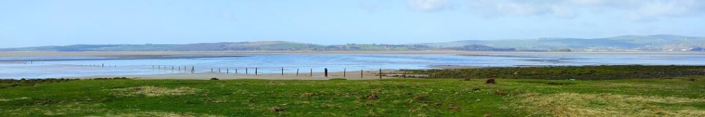
Bentham Footpath Group has visited the Cartmel Peninsula a number of times: It’s a great place to start a walk and offers a good choice of routes. We could head east onto Hampsfell with cracking views over the Kent Estuary and into Morecambe Bay, or as we do on this walk, west onto the ridge at Ellerside with equally good views across the Levens Estuary and over to the Lakeland fells. Along the way we have the opportunity to explore Cartmel Village, potentially adding a visit to the Priory and Cartmel Park racecourse, before heading through Park Wood, and scaling Ellerside where from the top of a ridge running along the side of the estuary, we have great views over to Ulverston. Our return is south past How Barrow, then down to Low Bank Side where we pick up a lane back to the racecourse tracking the river Eea.
Ellerside from Cartmel Read More »