Jump to . . .Step by Step | OS Map | Downloads | Gallery | Fly through
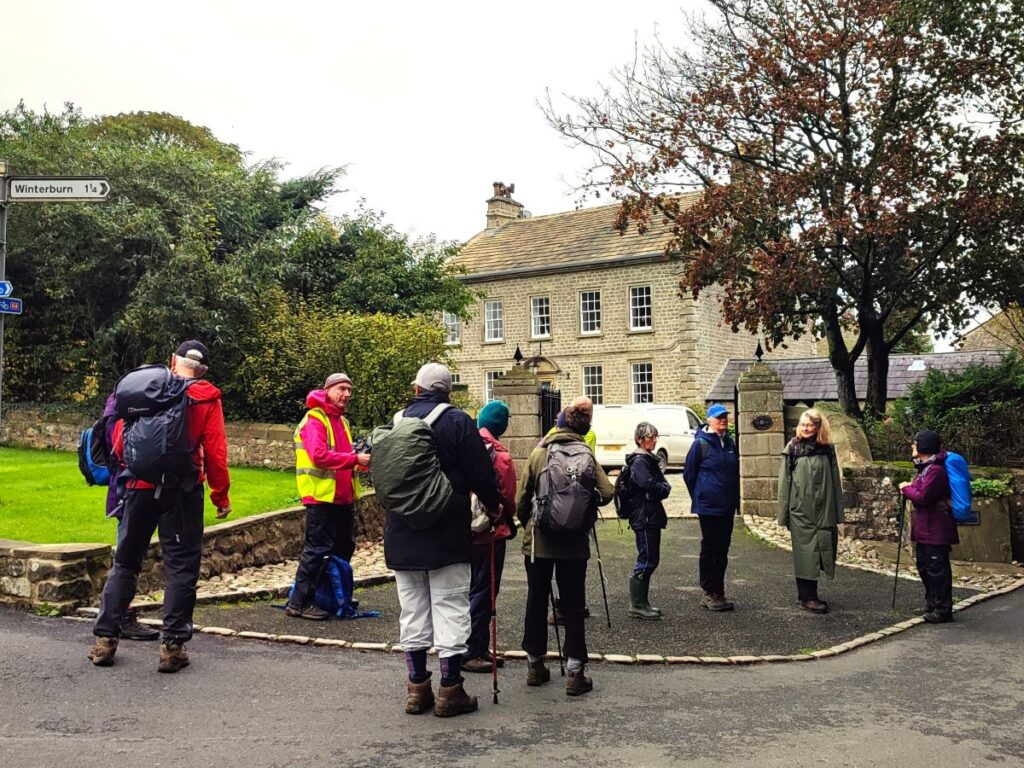
It’s easy to overlook Gargrave as you drive through on the A65, and it would be a mistake to do so: Gargrave is a great place to start a walk, with the added advantage that there are pubs, cafes, and an interesting variety of shops to enjoy. Free parking is available and there are good quality public toilets.
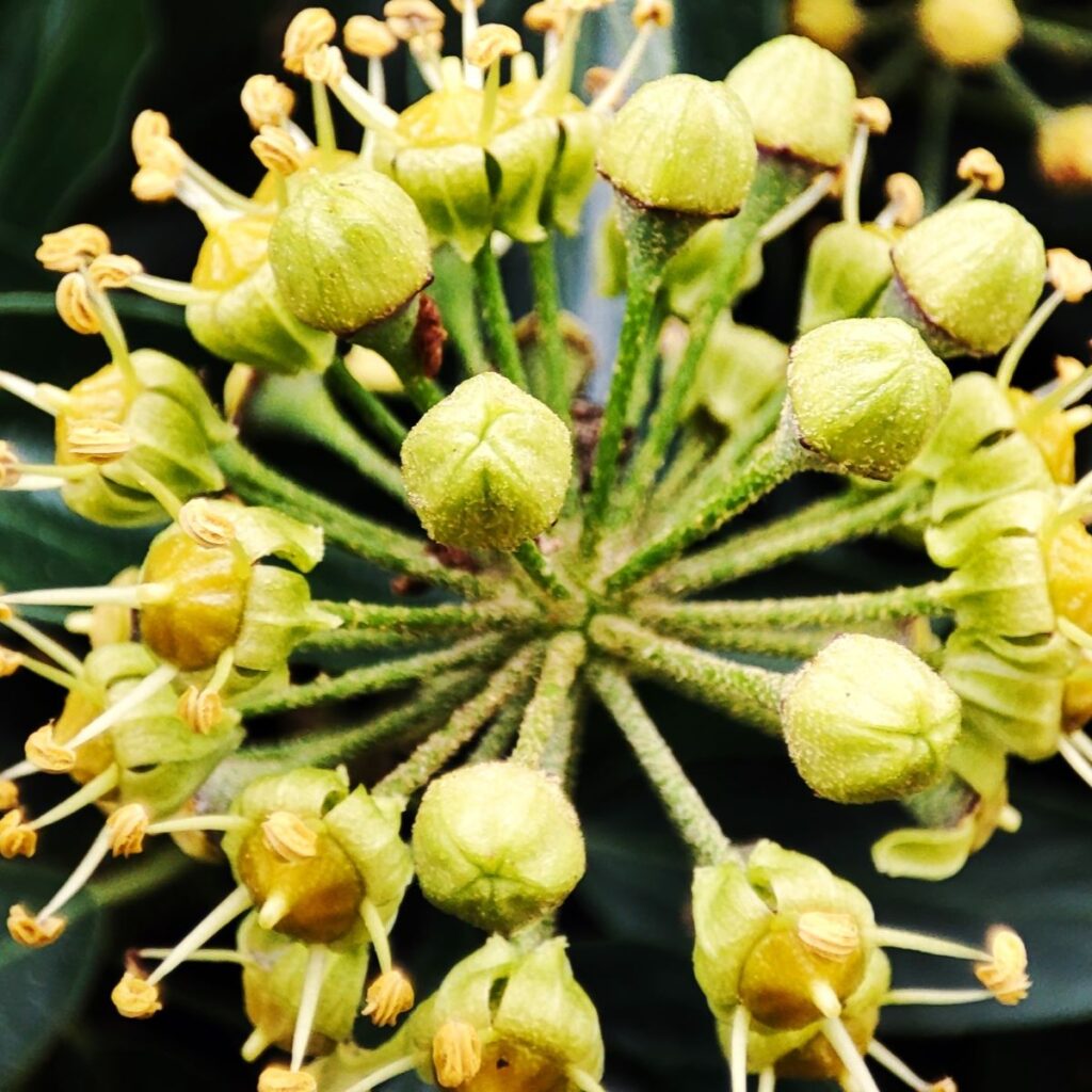
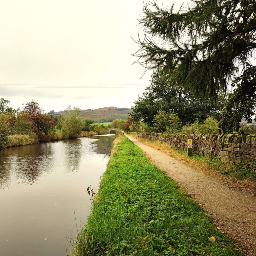
Still not convinced, then add a walk that includes the Leeds Liverpool canal, parts of the Pennine Way, Country houses, enchanting wells, great views of Sharp Haw, a peaceful memorial garden, a curiously ornate lime kiln, and weather station. Where else other than the Yorkshire Dales would you find so much interest in just six miles?
- Total distance 10.2 km (6.3 miles)
- Total ascent 170 m
- Easy walk
Step-by-Step

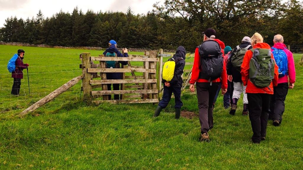
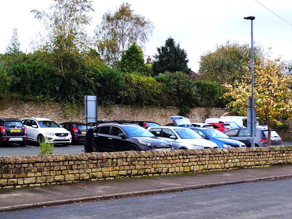
We start from the (free) North Street car park in the centre of Gargrave. If you are approaching from the Skipton side, tun right into North Street at the Old Swan, or if you are coming from Settle, then turn left opposite the public toilets on the A65. The car park is about 100m from either turn.
The OS grid reference for paper map users is SD93185430. If you are using Satnav to get there then try North Street Gargrave, or BD23 3RL, or if you have access to What-3-Words, the tag is february.cyclones.trousers. No further comment is necessary.
Gargrave dates back to at least the Roman Era – we know this because in the 1960s the remains of a Roman Villa known as Kirk Sink were found in flat meadowland near the river Aire. The site was excavated in 1968–1974 by Brian Hartley and a team from Leeds University, who uncovered a central room with a seven-metre square mosaic floor and a bath house built alongside. Rather unusually, the villa was surrounded by two ditches, suggesting that some thought needed to be given to defence. Artefacts from the excavation, and of course, many other interesting things, can be seen in The Craven Museum in Skipton – check their website:
Gargrave thrived in Victorian times with a number of cotton mills and warehouses clustered along the Leeds to Liverpool Canal – some of those buildings still exist, as do the stylish Victorian houses in the town centre built to house the expanding population attracted to work in the mills.
Gargrave has a very active community, and a great resource in the village website – worth visiting to see a photograph of an elephant and a camel pulling a caravan through the village centre on their times past page.
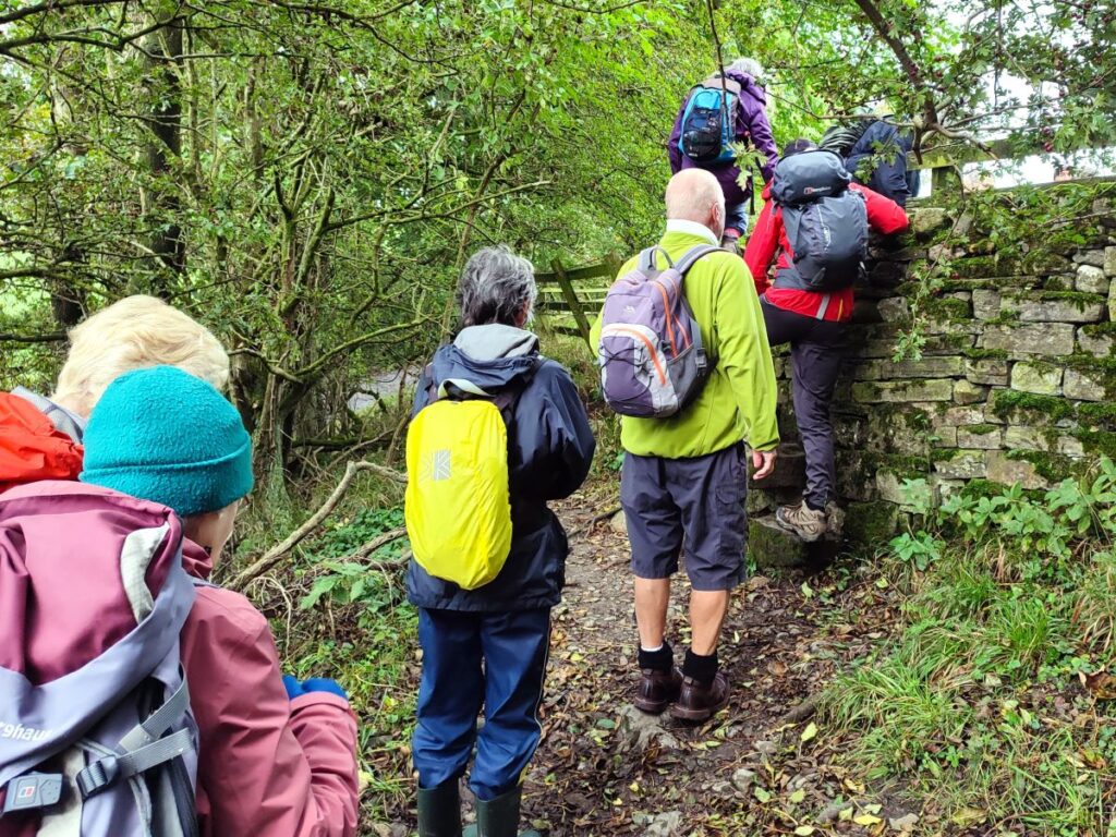
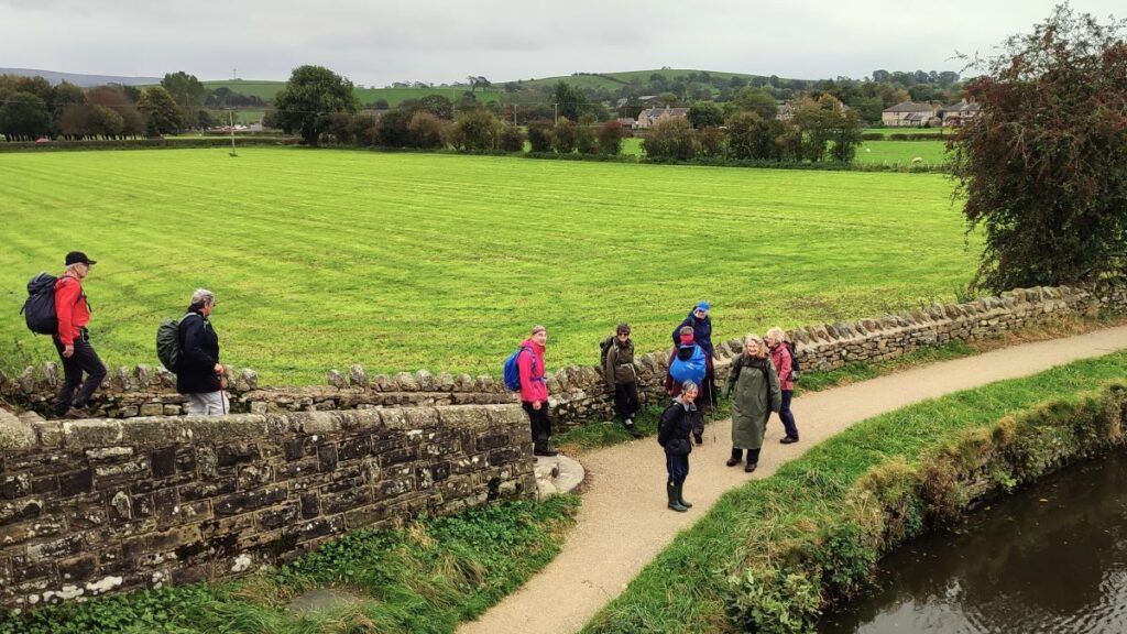
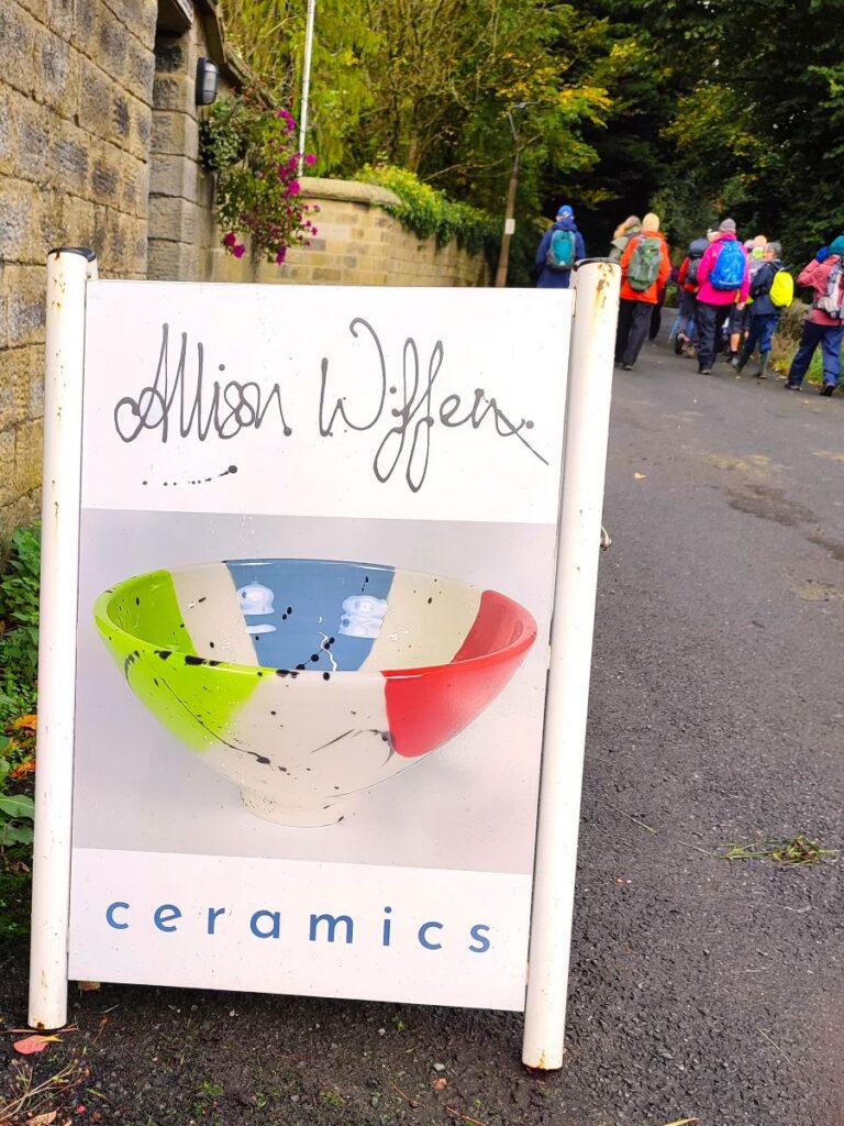
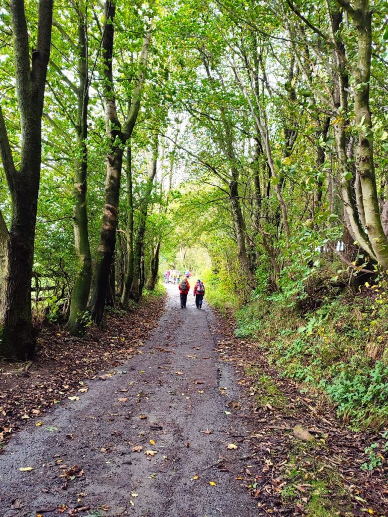
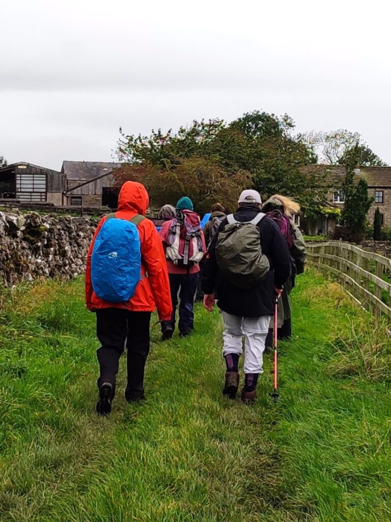
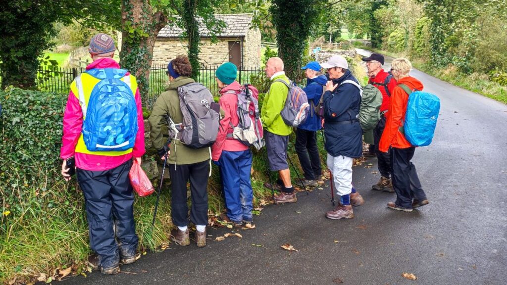
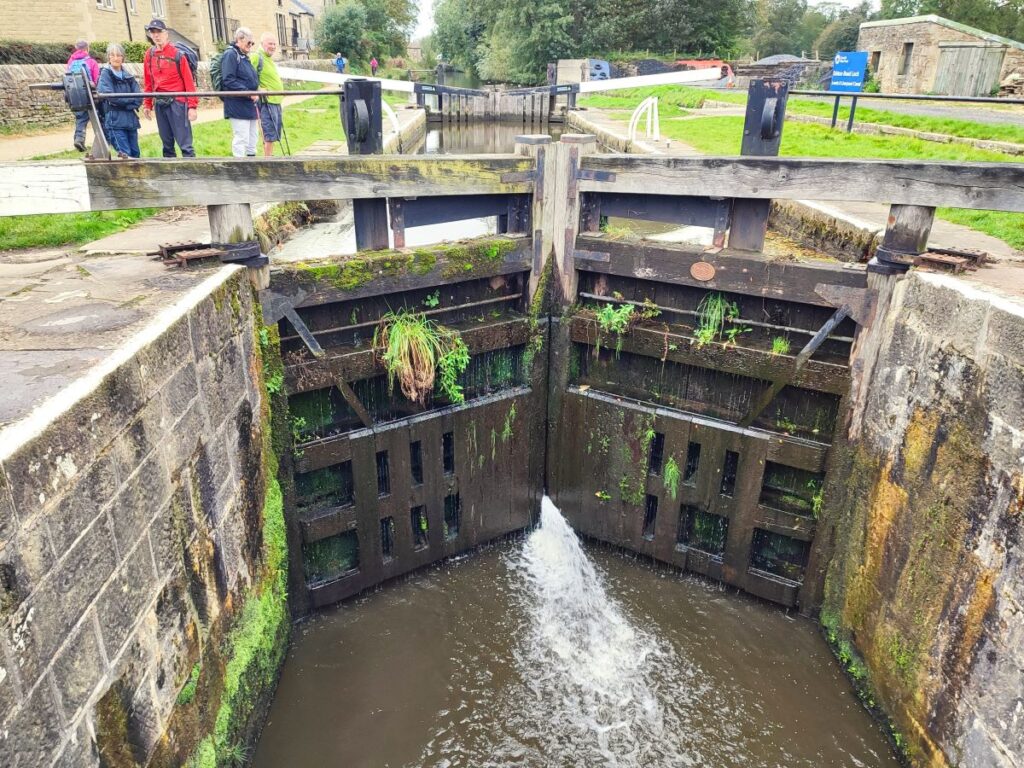
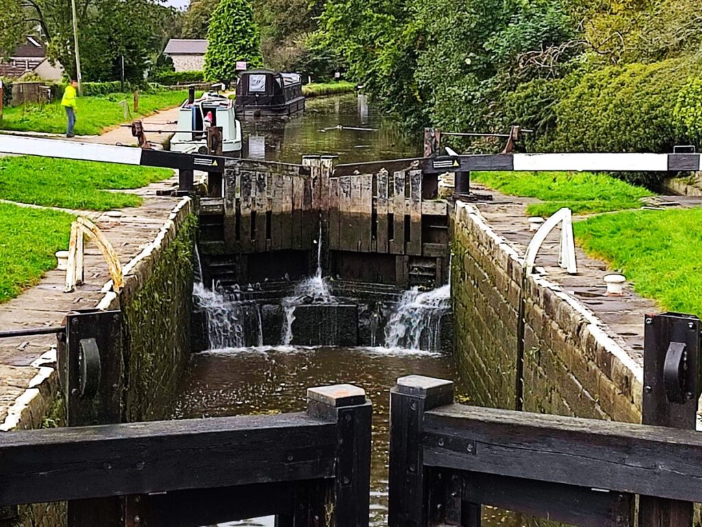
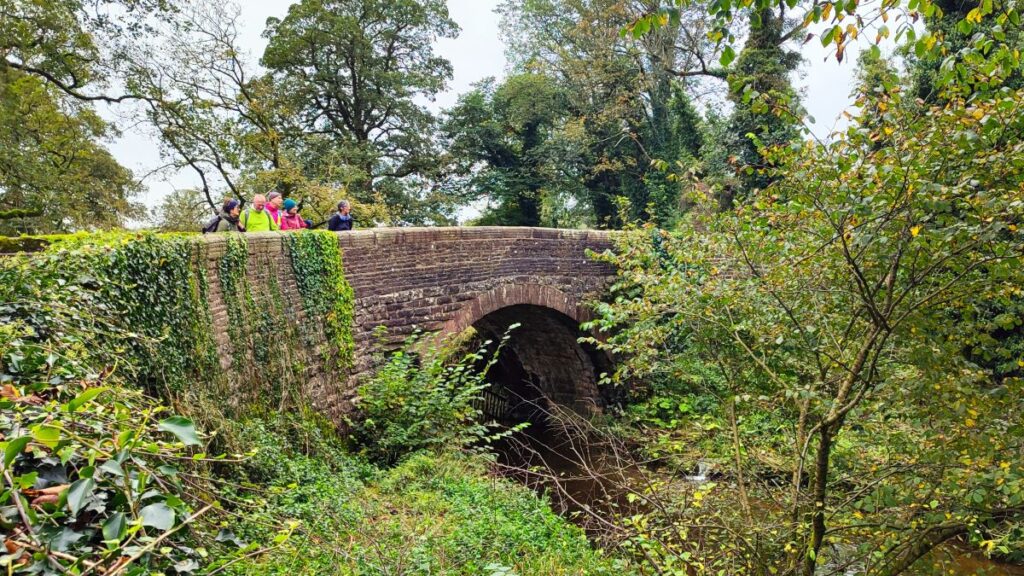
The walk heads out of the carpark and then up West Street – this is the minor road up to the canal opposite the Village Hall. We reach the canal after no more than 50m, at a bridge over a lock – if you are lucky, you may catch a narrowboat passing through the lock. We press on up the lane – passing Alison Wiffen ceramics on the left – and then looking for the road to veer right. As it does so, we take the track that leaves the road on the bend – our route is therefore straight on. We are now on Mark House Lane – part of the Pennine Way- you may notice a helpful yellow sign indicating this.

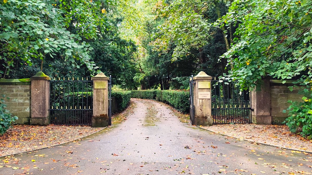
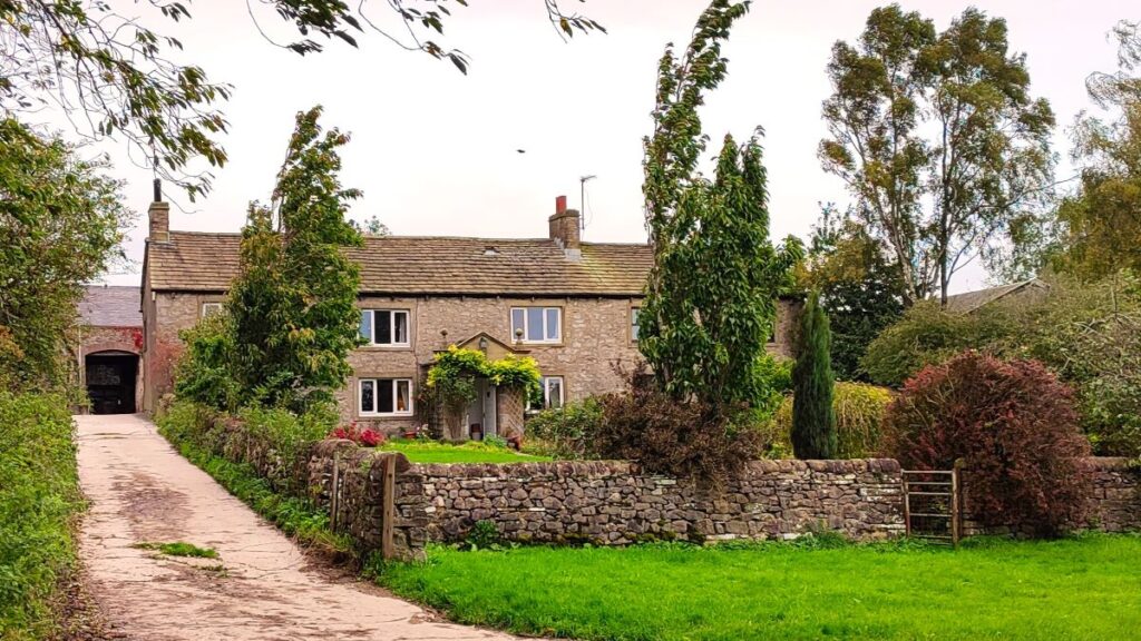
We carry on climbing very gently as we walk up Mark House Lane, passing the grand entrance gates to Gargrave House on the left. Despite the long established appearance, the house is relatively modern, having been built in 1917 to a design by the distinguished Edinburgh architect James Dunne – it has recently been sympathetically converted into a number of select apartments, and is a Grade II listed building.
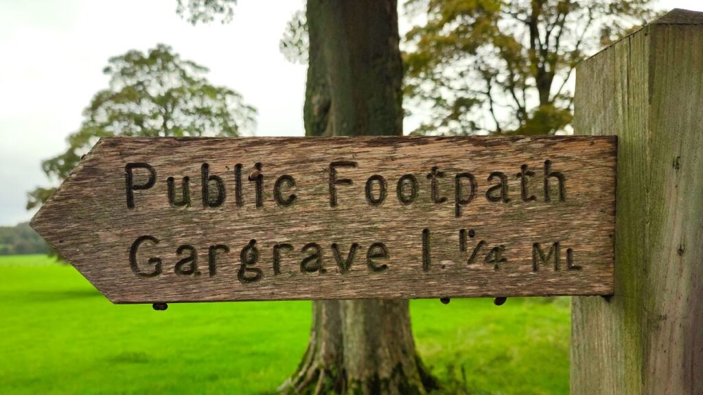
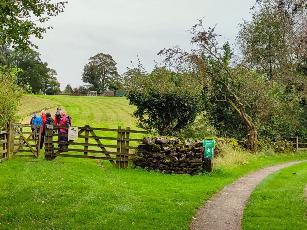
As we continue, the minor lane that we are following bends left and then right and then runs alongside a wooded area known as Mark Plantation – the trees are on our right and open farmland is to the left. You may notice a public footpath leaving on the left – this offers routes to Coniston Cold or Bell Busk, and may be worth exploring another time, but for now we continue until we see a stile on the right at the end of the woodland. As you would expect for the Pennine Way, its clearly signposted.
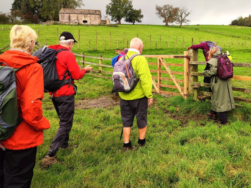
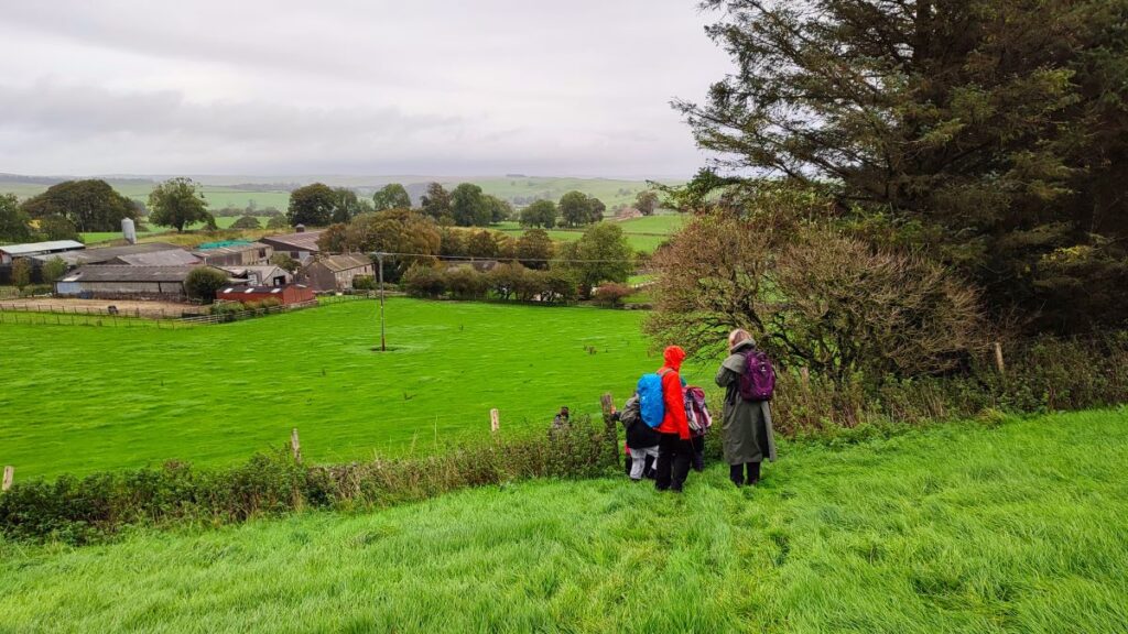
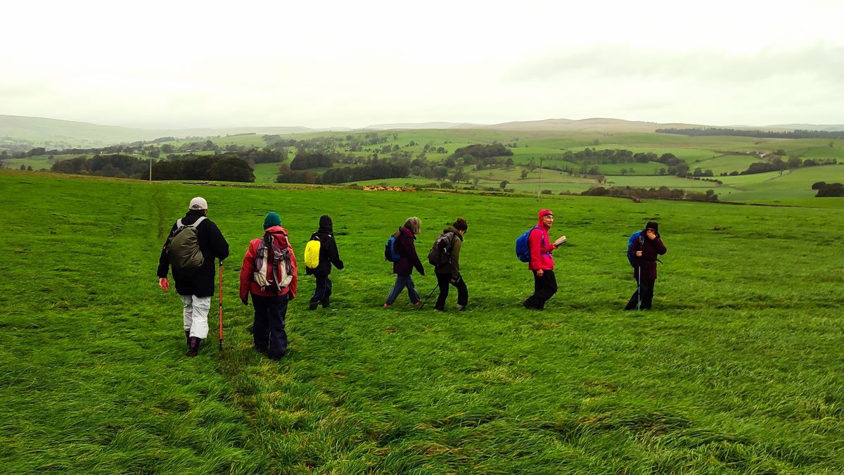
The stile gives us access to a meadow, and we continue Northwest crossing a series of stiles as we climb Harrows Hill. This is still the Pennine Way, so the path is well used, and the route is clear. At the top of this rise we find ourselves at a gate at the corner of a stand of trees. Strictly speaking, the path is over a stile 20m to the left of the gate, but clearly more people use the gate and then head left toward a second gate in the fence opposite – we are in effect cutting the corner off the field and heading to the midpoint of the opposite side. From here we continue North, keeping to the left of the field boundary until we reach a third gate.
From here the Pennine Way continues North toward Airton. We follow it for about 100 m, and then meet another path coming up from Mark House Lane via a disused quarry. The two paths intersect creating a crossroads at which we head sharp right – it would be possible to short-cut this, but please keep to the path to help protect the farmland.
Over to our left at this point is Haw Crag, and the disused quarry; feel free to explore there by taking a left at the crossing of the paths, before returning to this walk. That diversion would add about ½ mile.

We now start heading downhill toward Throstle Nest farm – we are aiming for a stile just to the left of the trees which are themselves someway to the right of the farm. From there we continue downhill to another stile onto a track.
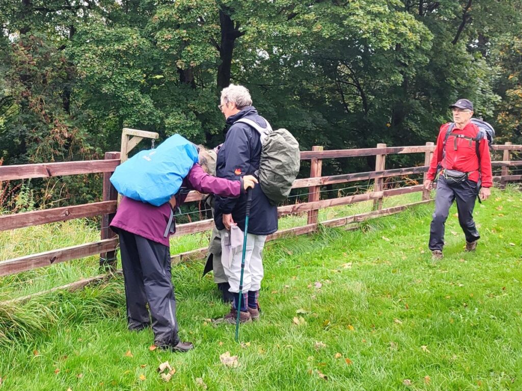
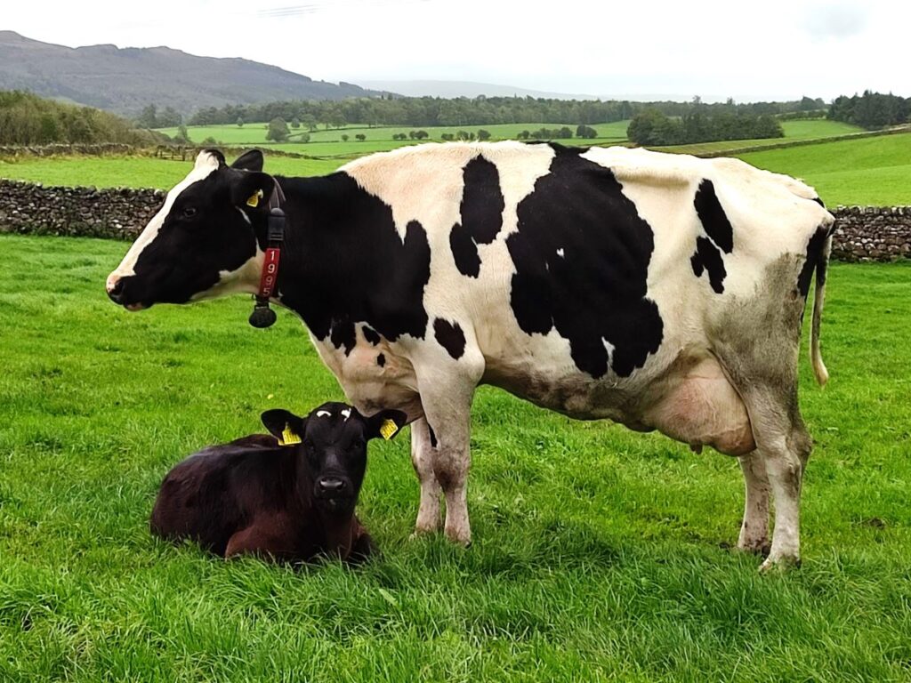
At this point the right of way is across the next field, but at the time of our walk, there was a cow and very young calf in that meadow, with a suggested diversion up the lane to the farmhouse and then right to reconnect with the right of way. This is well signposted and clearly explained and gives us a view of the rather attractive farm that we would otherwise miss.
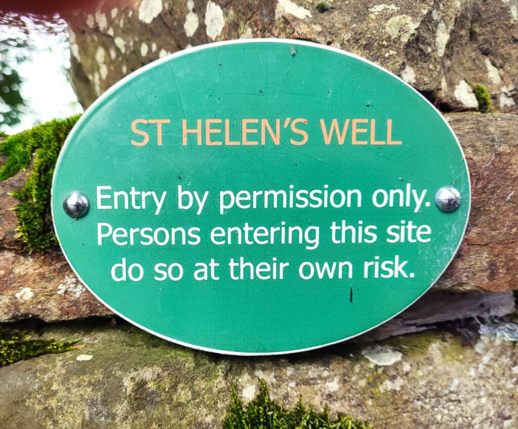
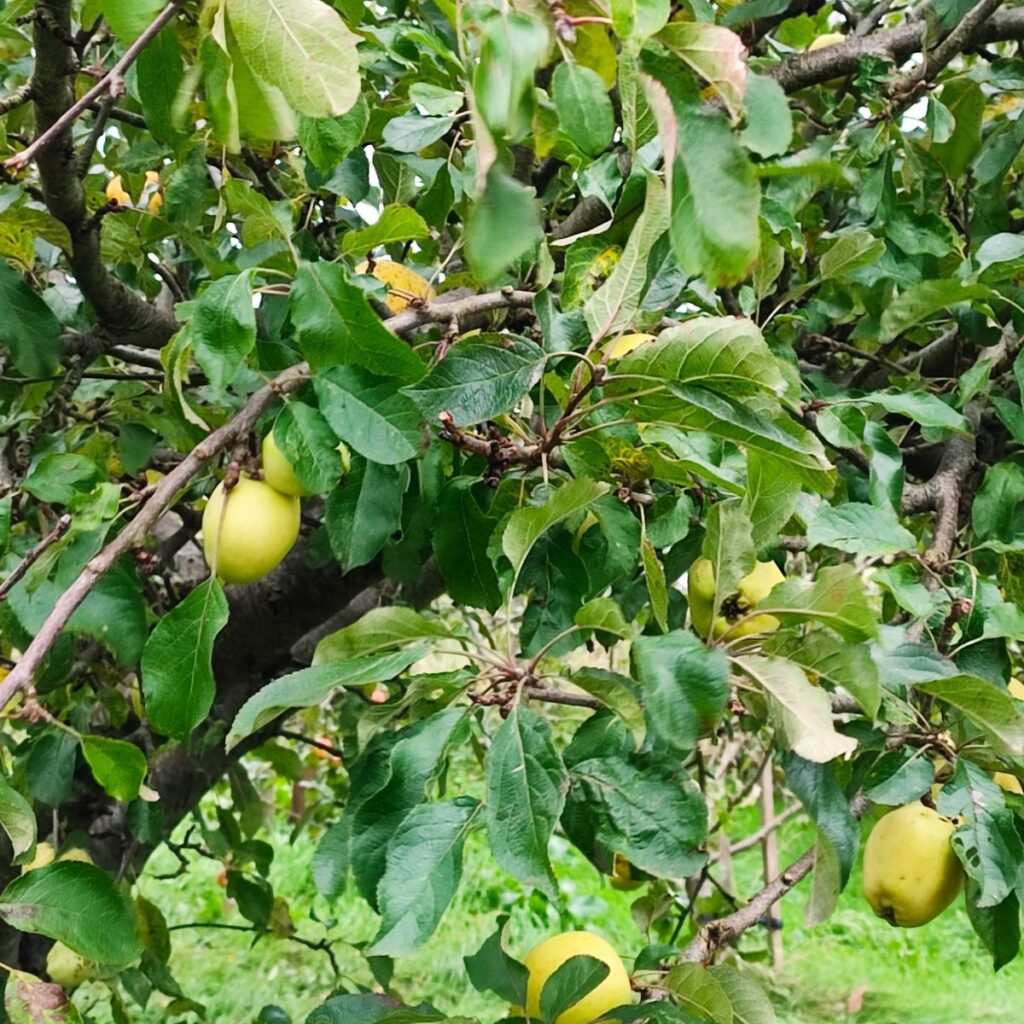
As the path and the farm lane come back together, there is an orchard to the right, and a pleasant area of grass which is a good place to take a quick break before continuing down the track to a road. You may notice a footpath almost opposite as we reach the road – this heads down toward St Helens Well – and so would appear to be a good way to avoid the road. However, there is no right of way through the last paddock, and rather assertive signage warns against finding one, so we head right along the road for a while. Care is needed here – this is a well used road.
Fortunately, we are not on the road for long and soon arrive at Eshton – to head sharp left along Winterburn Lane – St Helens House is on our left and Eshton House our right.
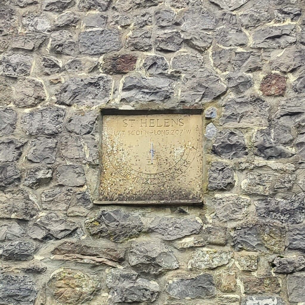
We continue along this lane passing New Laithe on the left – noting a rather lovely sundial set in the wall, featuring the latitude and longitude engraved into the mounting stone.
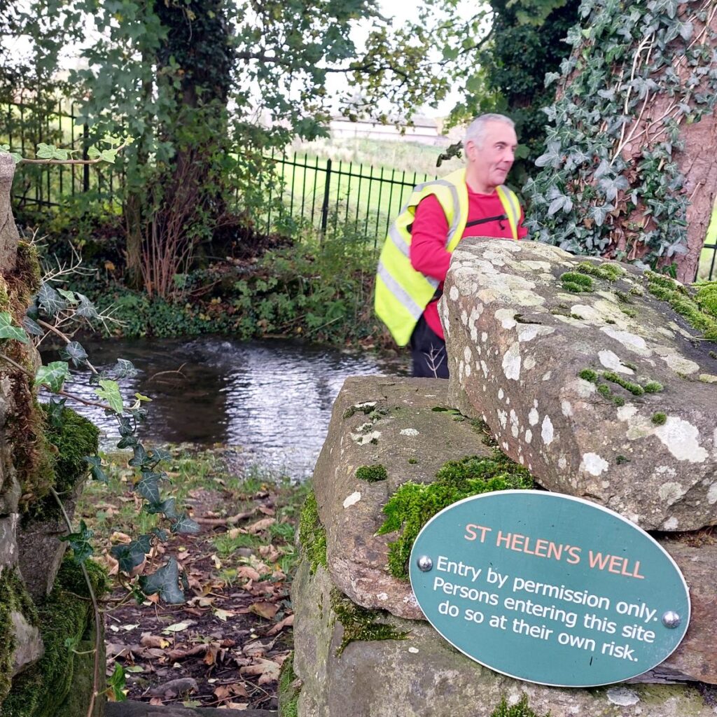
Soon after this the lane bears right – this Is where the “missing” path would emerge – and we follow the road round to St Helens Well.

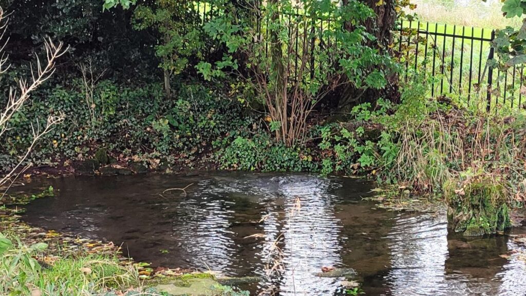
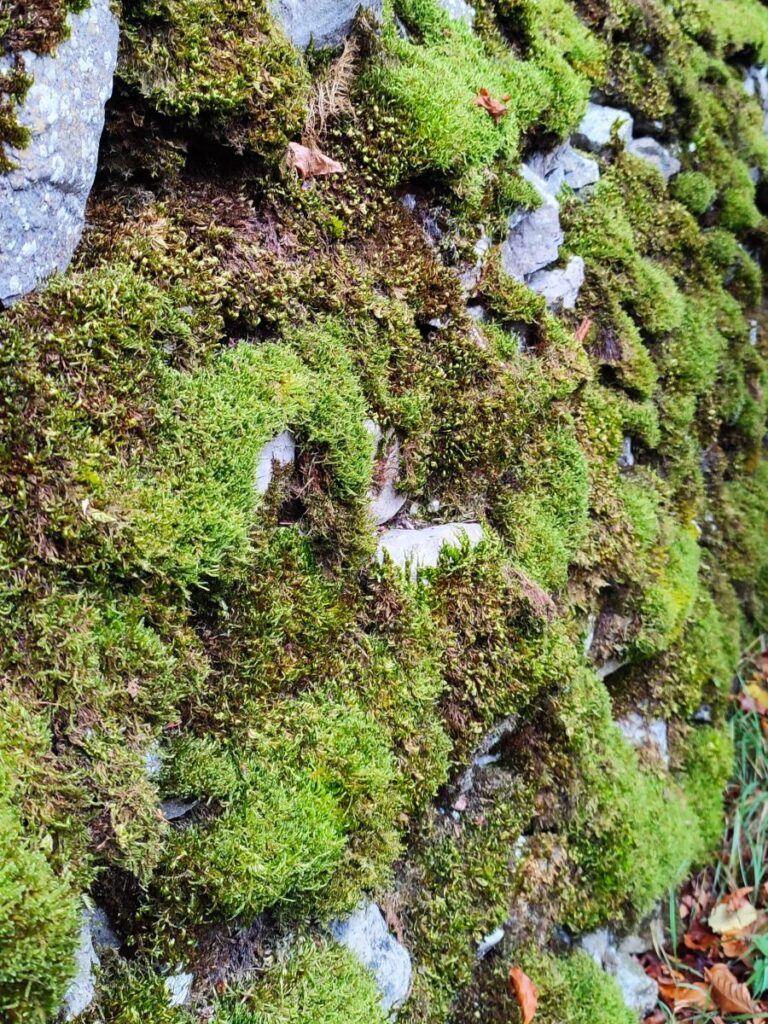
Concealed behind a low mossy wall, the well itself is roughly circular, and depending on rainfall, usually less than a foot deep. Water rises – at times quite energetically – from beneath the bed of the pool near the far bank – at the time of our walk, the water level was elevated – and the flow was impressive – click here to see a video.
At the outlet side of the pool is a dam, said to be built from the stones of a local church, which was destroyed by fire long ago. Along the inner edge of this dam, only visible during lower flow conditions, are three semi-submerged rounded stones. The upper surface of each shows a shallow hole, about one and a half inches in diameter. Nothing too surprising there but reach down into the water and run your hands across the surface of the stones, and you will find the facial features that tell you these blocks are in fact carved stone heads, possibly recycled from a chapel of ease that was once nearby.
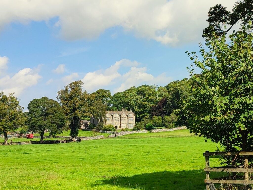
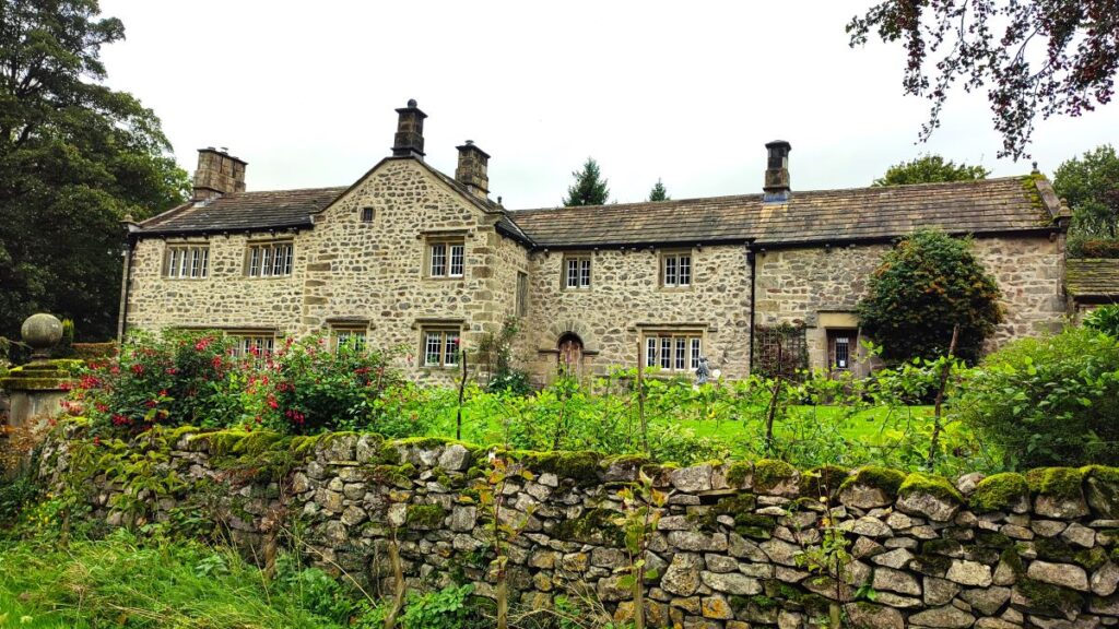
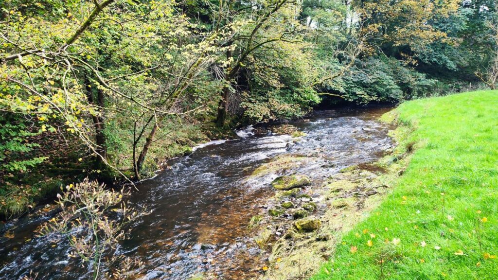
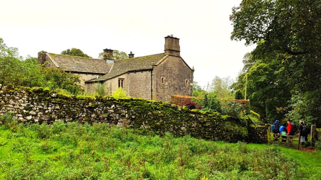
We continue past the modern water works and then over Eshton Beck at a stone bridge. We follow the road round for a while and soon have the impressive Friars Head clearly visible ahead. Our walk heads sharp right and away from the hall 100m after the bridge, but feel free to walk a little further down the road get a good view before returning to the walk: The hall can be seen from the roadside without disturbing the owners but is NOT open to the public.
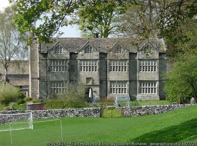
Many consider this to have the finest 17th century frontage to be found in the Yorkshire Dales and yet relatively few people know of its existence. Sir Stephen Procter, who built the now well-known Fountains Hall, near Ripon, was born here and it is easy to see how Friar’s Head influenced the design of his much more famous architectural enterprise. The house was important during the Civil Wars of the 1640s, when it was a meeting place for cavaliers, and there is some evidence that the design followed a fashion at time of having dimensions adhering to strict ratios referencing important biblical numbers.
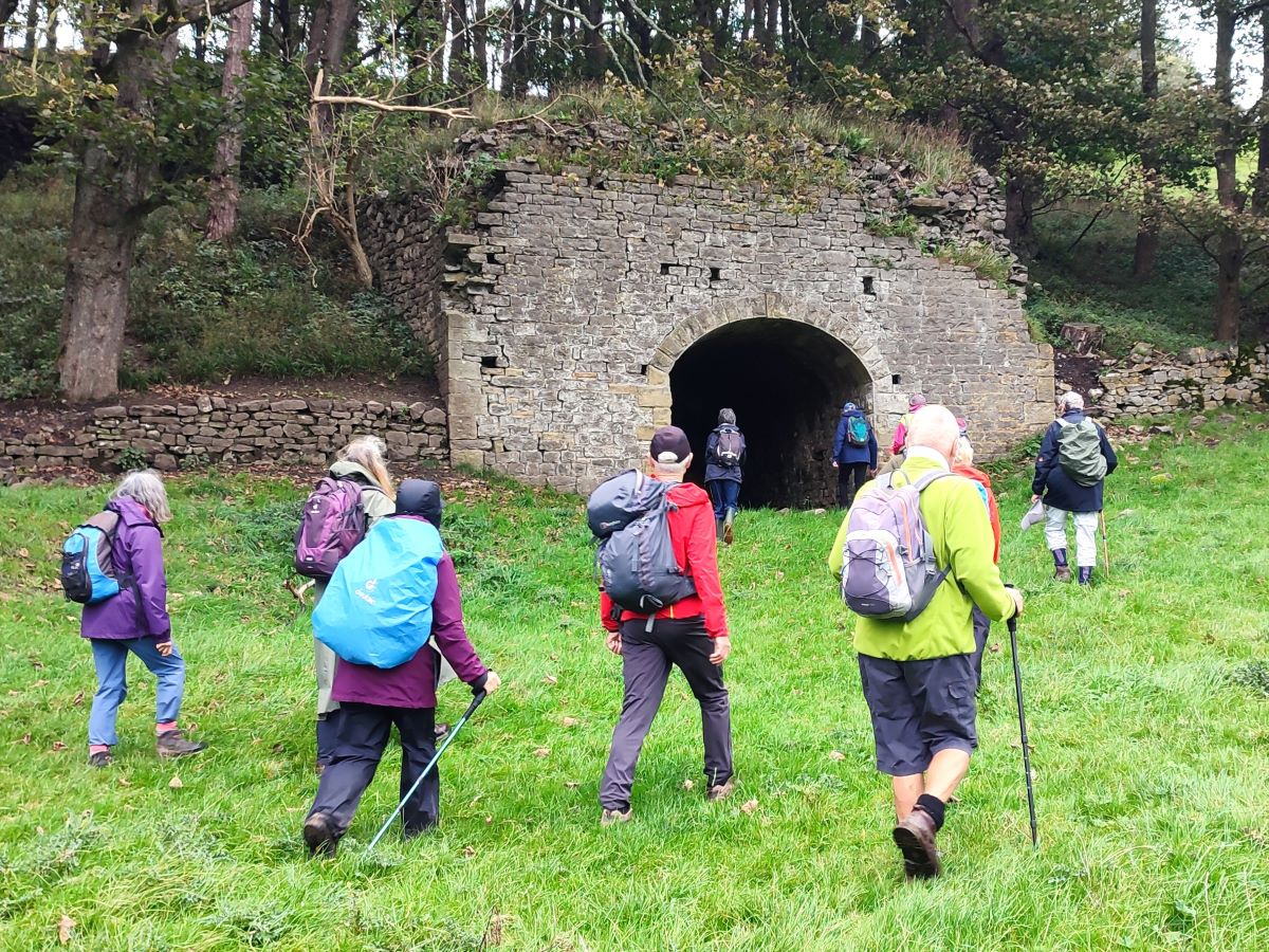
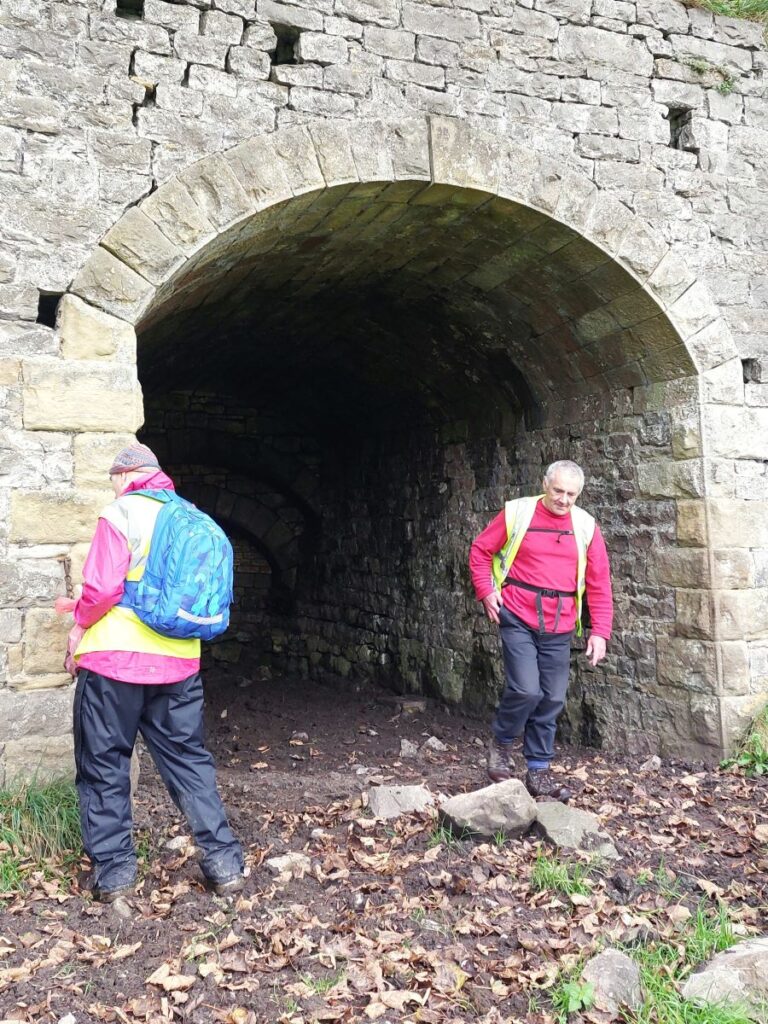
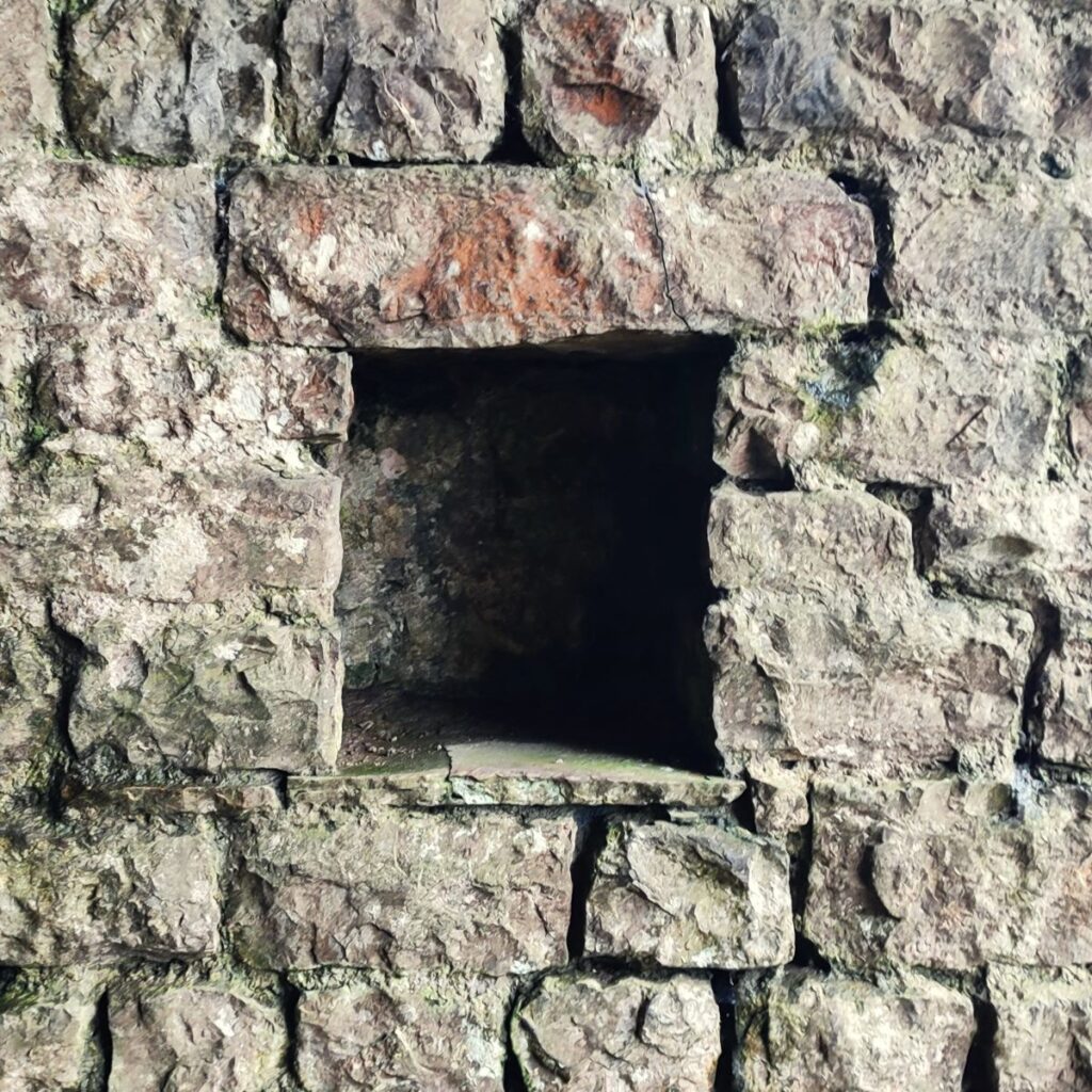
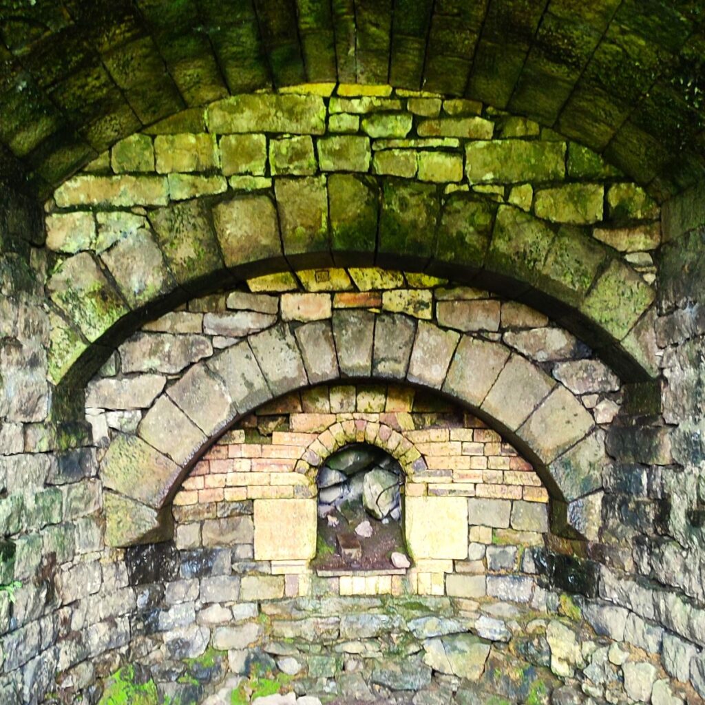
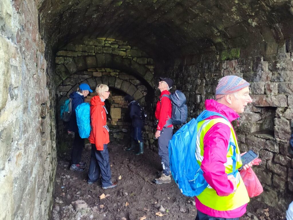
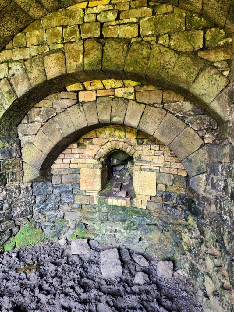
We leave the road not long after the bridge at a clearly signed path on the right which nearly doubles back, so that we are now heading South. The track we are now on comes round the edge of a wooded mound, where over to the left we see what appears to be a lime kiln. These are common in the Dales, so this in itself is not particularly surprising, but as we approach the kiln and have a closer look, it becomes apparent that there must be more to this one – the quality of the stonework around the entrance is of a very high standard, and the portal is of a scale that is inappropriate for a local lime kiln. Inside there are a series of arches and within the last of these is a domestic fireplace, so clearly whatever this structure is, it was more than just a simple lime kiln.
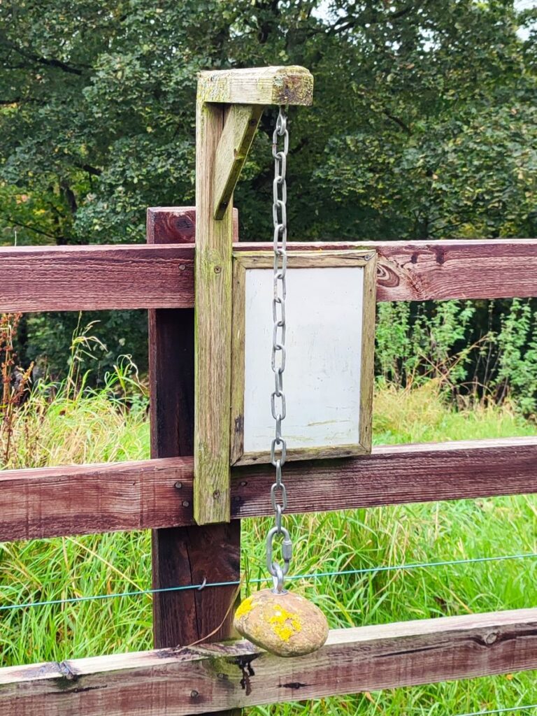
With our back to the portal, we see a rather fine house ahead, and we head down to the gate at the left of the house to pick up a track along the front and down to Brockabank Bridge – crossing Eshton Beck again. On the way notice the humorous “weather station” in front of the house – a rock hanging on a chain with the following guide:
- Stone is wet: Raining
- Stone is Dry: Not Raining
- Shadow on ground: Sunny
- White on top: Snowy
- Can’t see stone: Foggy
- Stone swinging: Windy
- Stone jumping: Earthquake
- Stone gone: Hurricane
Let the record show that the system was 100% accurate on the day we walked this way.
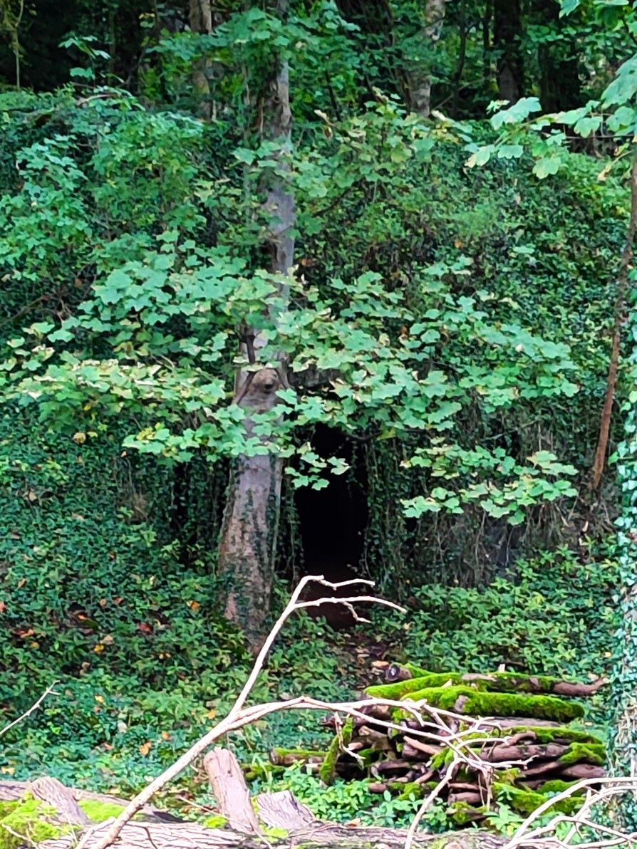
We now head down the track to the bridge and notice over to the left a second lime kiln – this one however is typical of Dales lime kilns with a simple opening of roughly constructed stone – it can be difficult to see as ivy cascades down over the opening masking the structure.
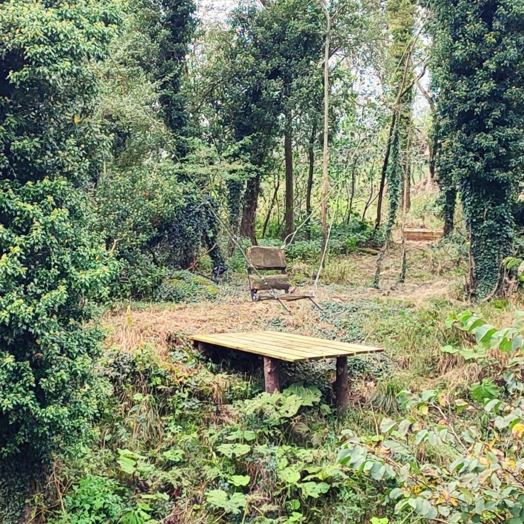
Over the bridge the lane continues uphill, and we look for a path leaving on the left – its well signposted and heads through a field that belongs to a residential centre called Play Away – the aim is to provide low cost opportunities for outdoor adventure for children – a great idea. Click here for more detail. Within the grounds of the centre, and adjacent to the public footpath is a small memorial garden in memory of Mary McNally – we took the opportunity to rest here for a while and to enjoy this delightful setting.
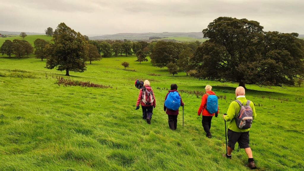
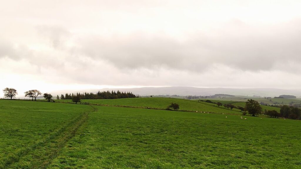
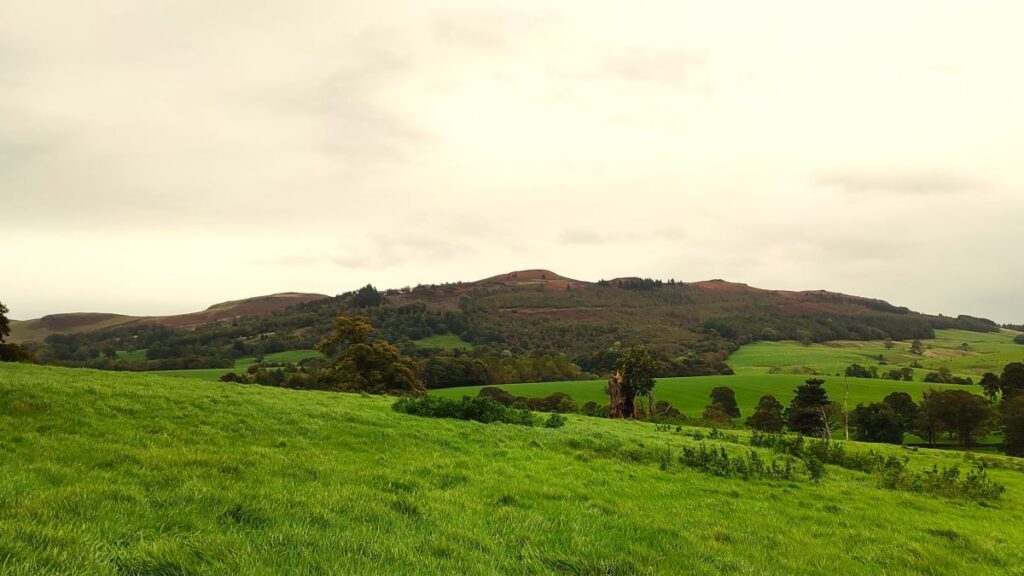
The path continues up to the road – and then continues opposite, heading across fields to a woodland called Gamsbers Wood. The path through the wood is behind a wrought iron kissing gate, and from there runs South skirting a large house before emerging on a hillside with a great view down over Gargrave and to Sharp Haw over to the left.
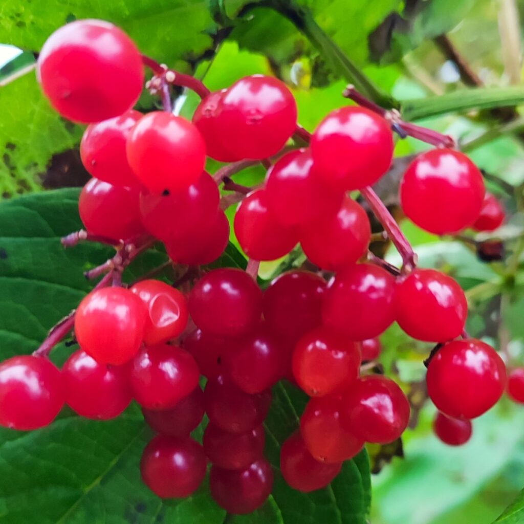
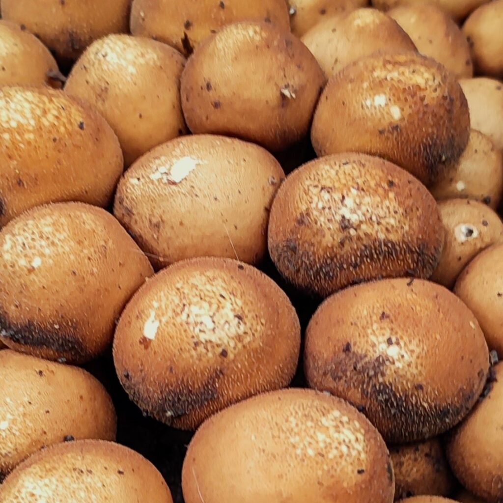
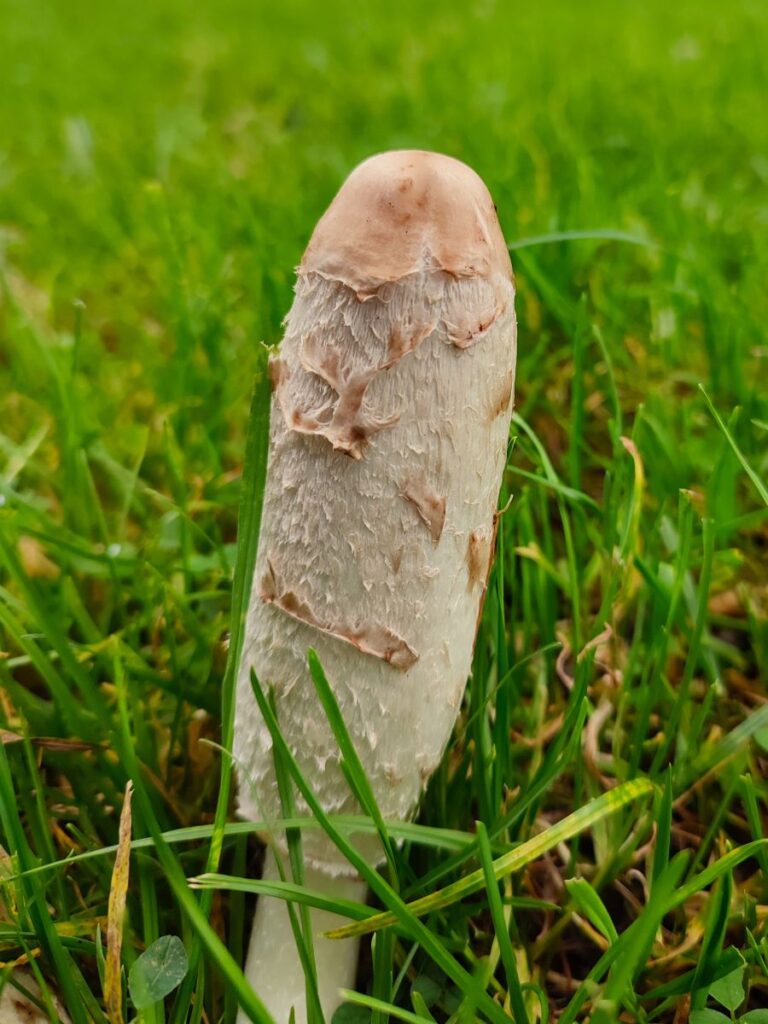
From here the path is clear and heads down to the Eshton Road from Gargrave, through livestock fields that on the day of our walk showed a strong crop of fungi.
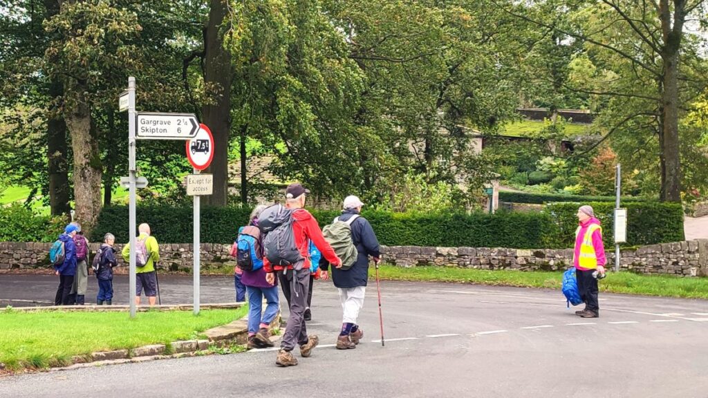
When we arrive at the road we turn left, and then after no more than 20m right onto Ray Bridge Lane, which as the name suggests leads to Ray Bridge – over the canal.
We take a right turn when we get to the canal and follow the towpath back past a lock and further bridge, continuing until we get to the bridge where we started the walk. From there a left turn and short stroll downhill takes us back to the carpark.
Other Bentham Footpath Group walks that are in a similar area and are potentially connected to this walk include: