Malham is one of the “honeypot” destinations in the Yorkshire Dales, so parking can be problematic and crowds can be an issue. This walk cleverly manages to pass through Malham and some of its many attractions whilst starting and finishing in the much more secluded village of Airton.
The walk starts with a long and steady trek up onto Calton Moor climbing more than 500m before merging with The Dales Highway which we follow down to the bottom of Gordale Scar.
From there we walk down past Janet’s Foss into Malham where after a short break we head along paths including the Pennine Way along the River Aire back down to Airton via Hanlith. We rate this walk as moderate, mainly because it’s quite long. There is a significant ascent, but the slope are fairly gentle and the paths generally easy, so if you normally prefer easy walks don’t rule this one out – but do allow sufficient time.
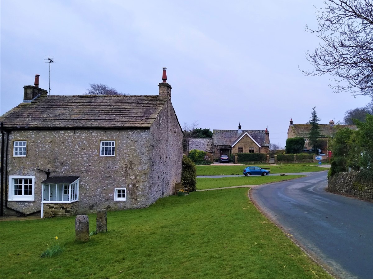
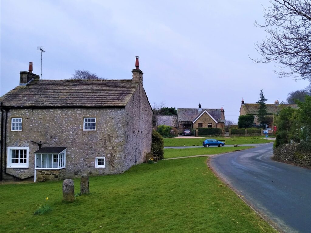
The walk starts in Airton – there is no specific car parking, so park at the roadside in a manner that is considerate to residents. If you use Satnav to get to Airton, postcode BD24 4AE should work. If you prefer paper maps SD90235921 is a good starting point, whilst What3Words users will find the start via “crown.manager.summaries”.
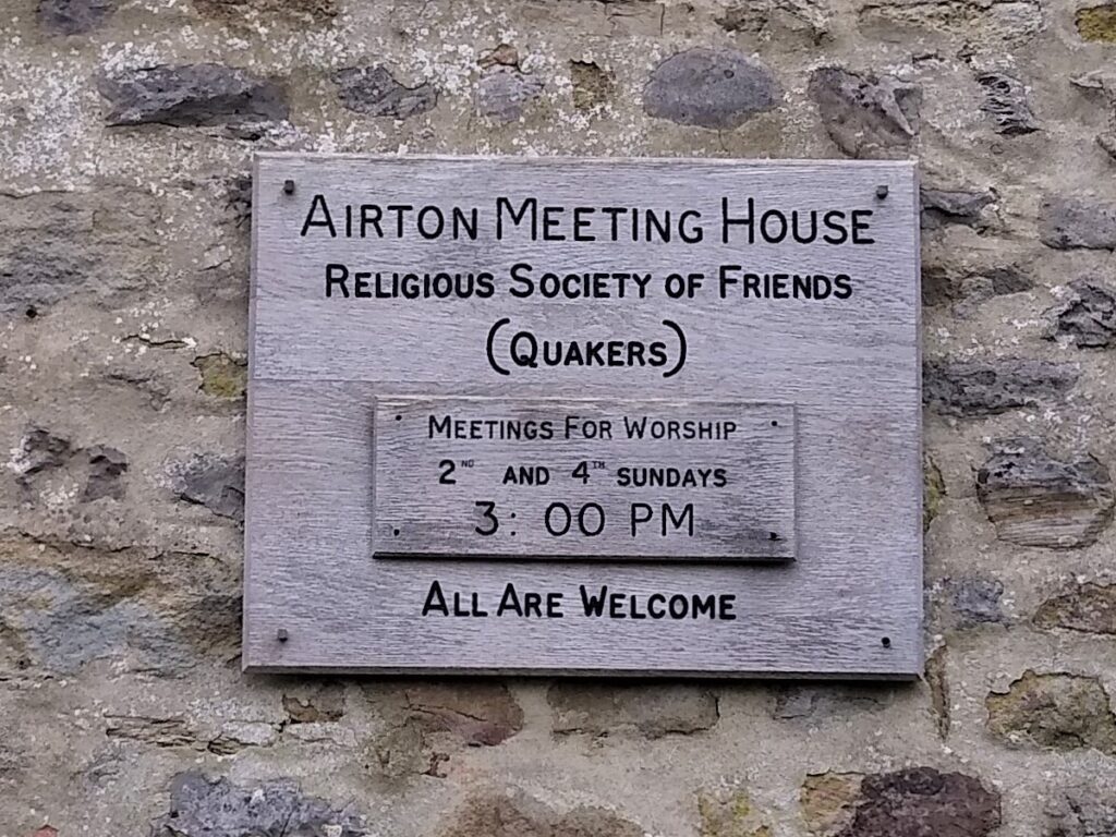
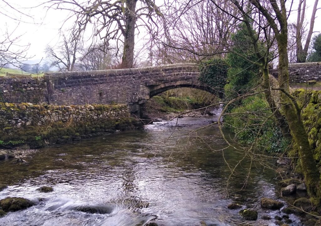
Having parked, head downhill past the Quaker Meeting house toward the Mill and the bridge over the River Aire. The road heads on toward Calton -and is clearly signposted.
At the road bridge, notice that there is a stile on both sides of the road to access the Pennine Way. The route on the left (upstream / North) is to Malham and this will be our return route, whilst to the right (downstream / South) the next significant destination is Gargrave.
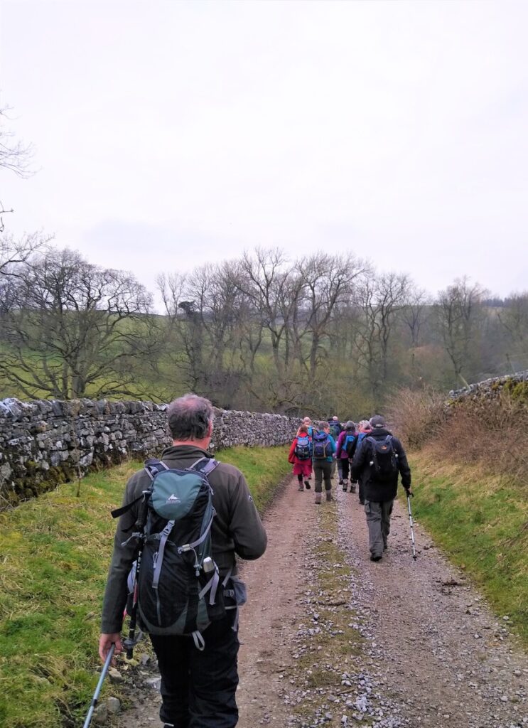
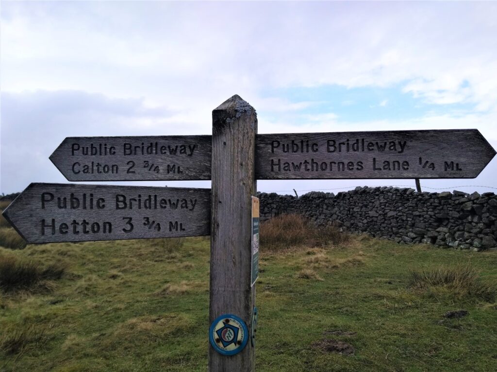
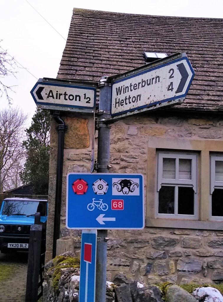
For now though, we ignore both these and follow Calton Lane as it bends right and then left and heads uphill into Calton. The road now levels out and the main route turns right – signed for Winterburn and Hetton – but we carry straight on along Kell Syke Lane until this too veers right, at which point we take the track on the left to access the track / path up onto the moors.
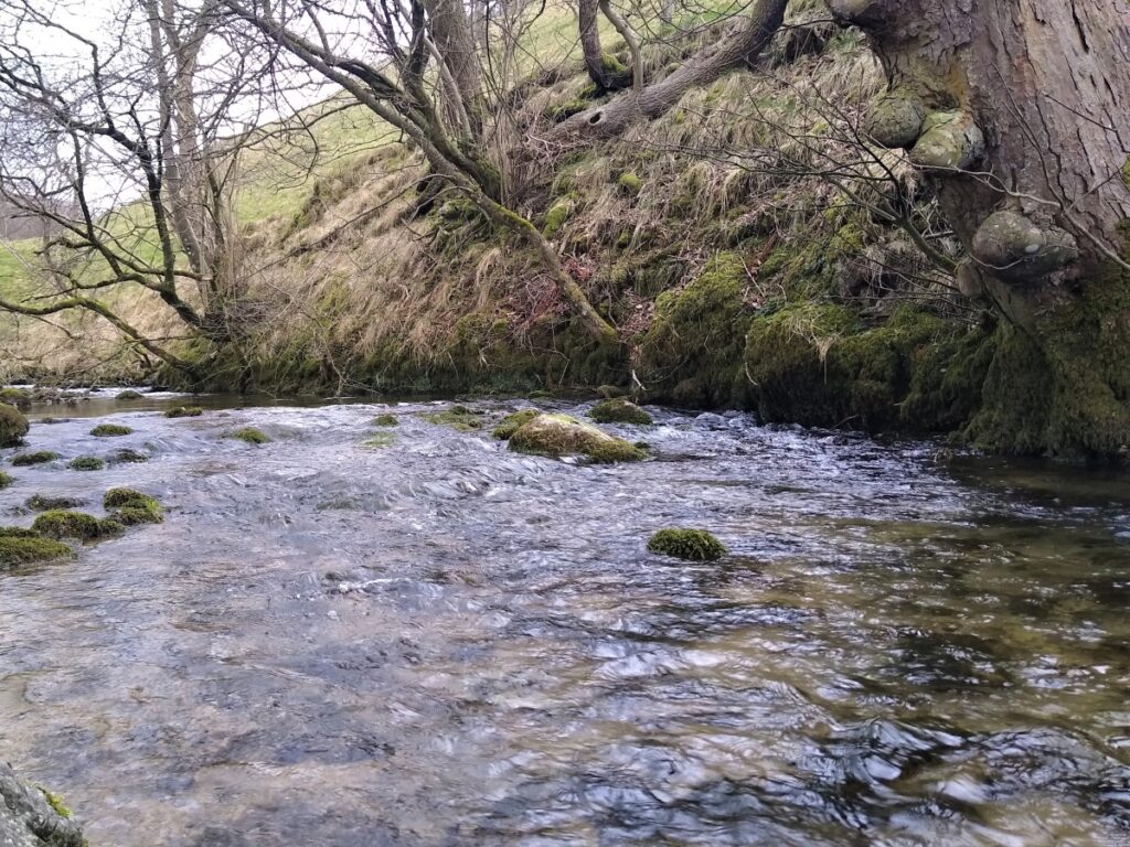
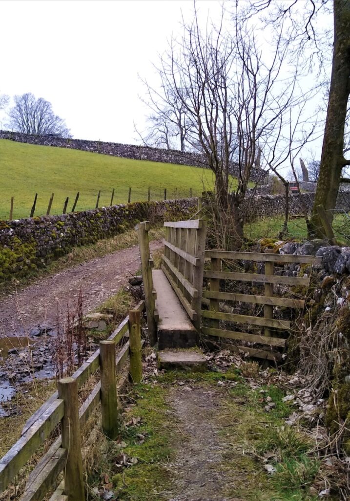
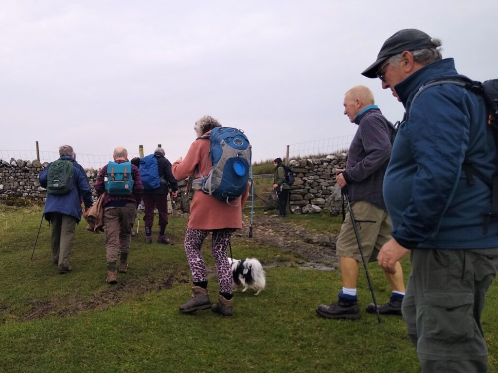
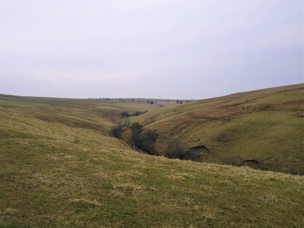
We cross a small footbridge over Foss Gill – only really necessary in times of high rainfall – and come to a pair of metal gates with the track continuing uphill beyond.
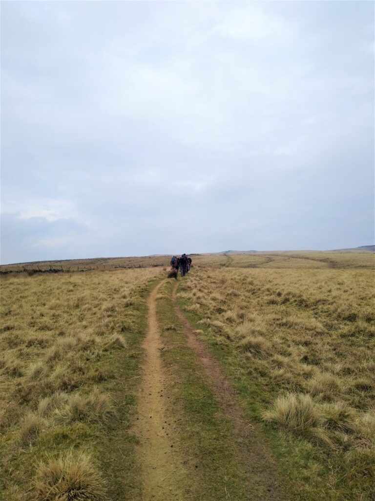
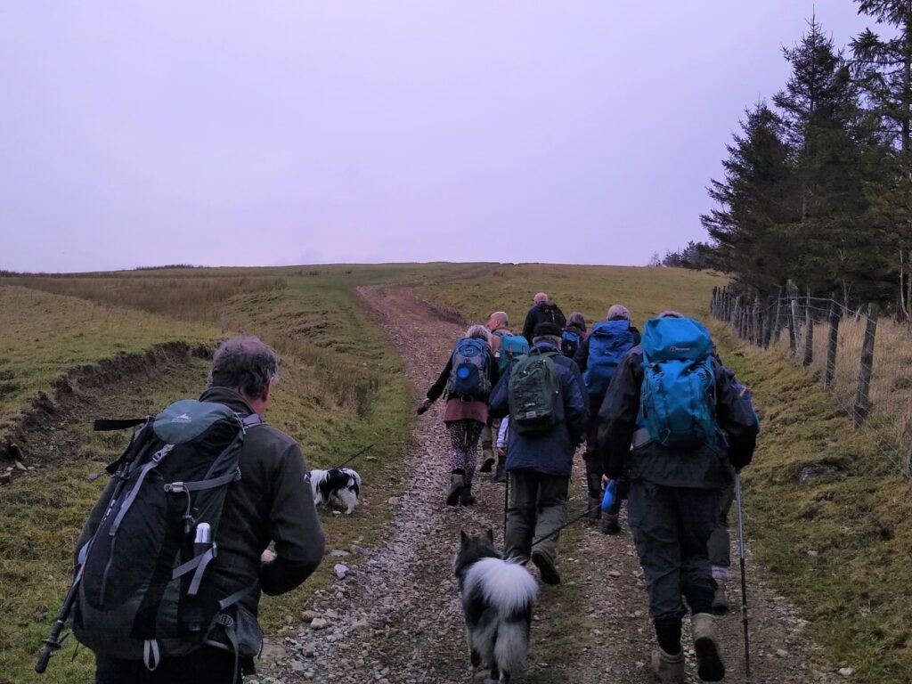
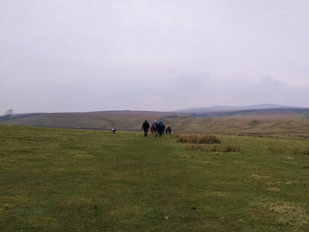
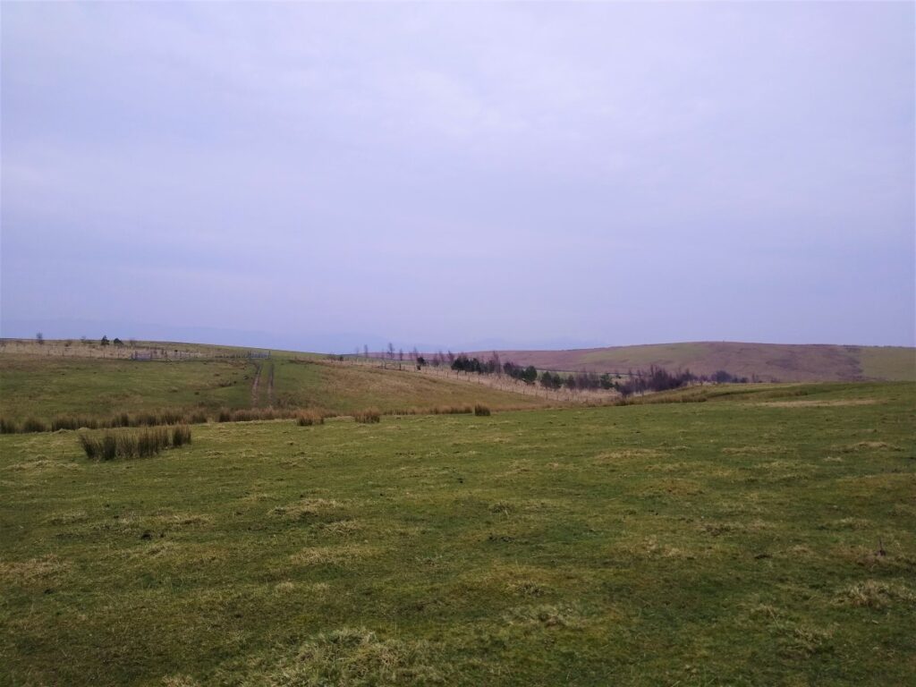
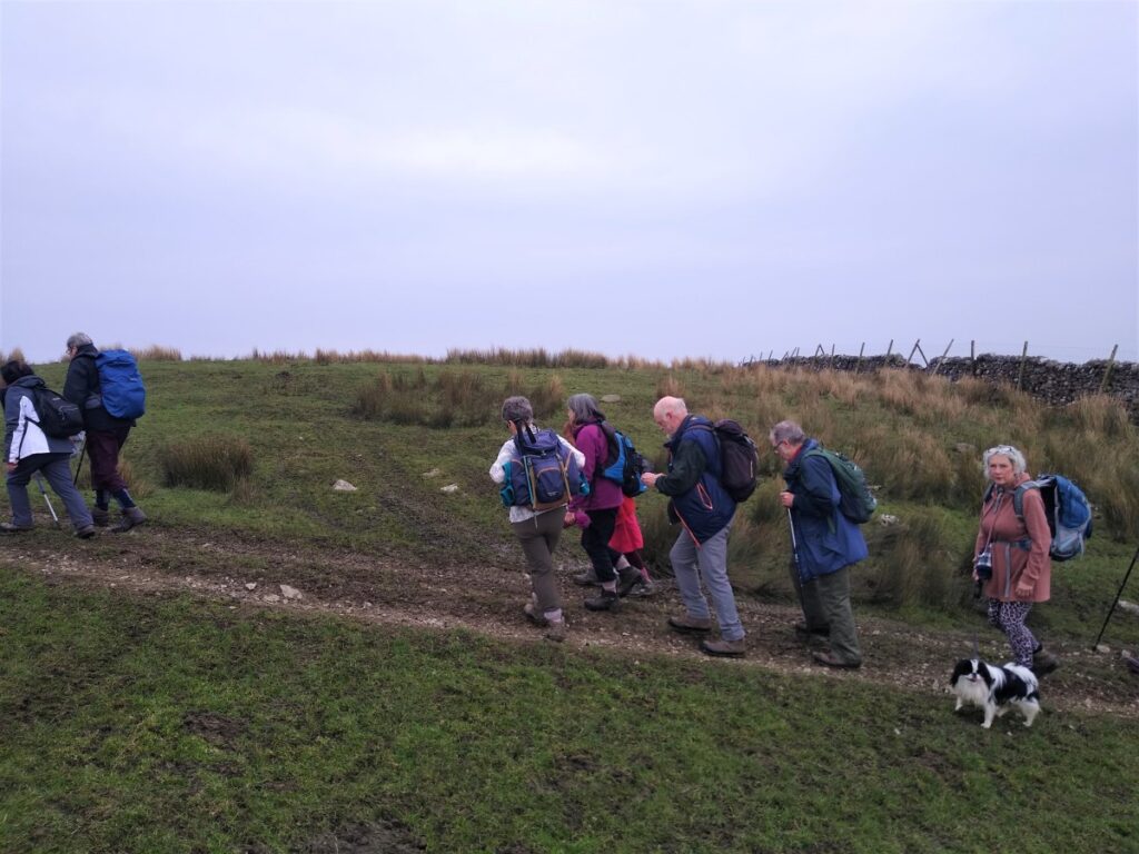
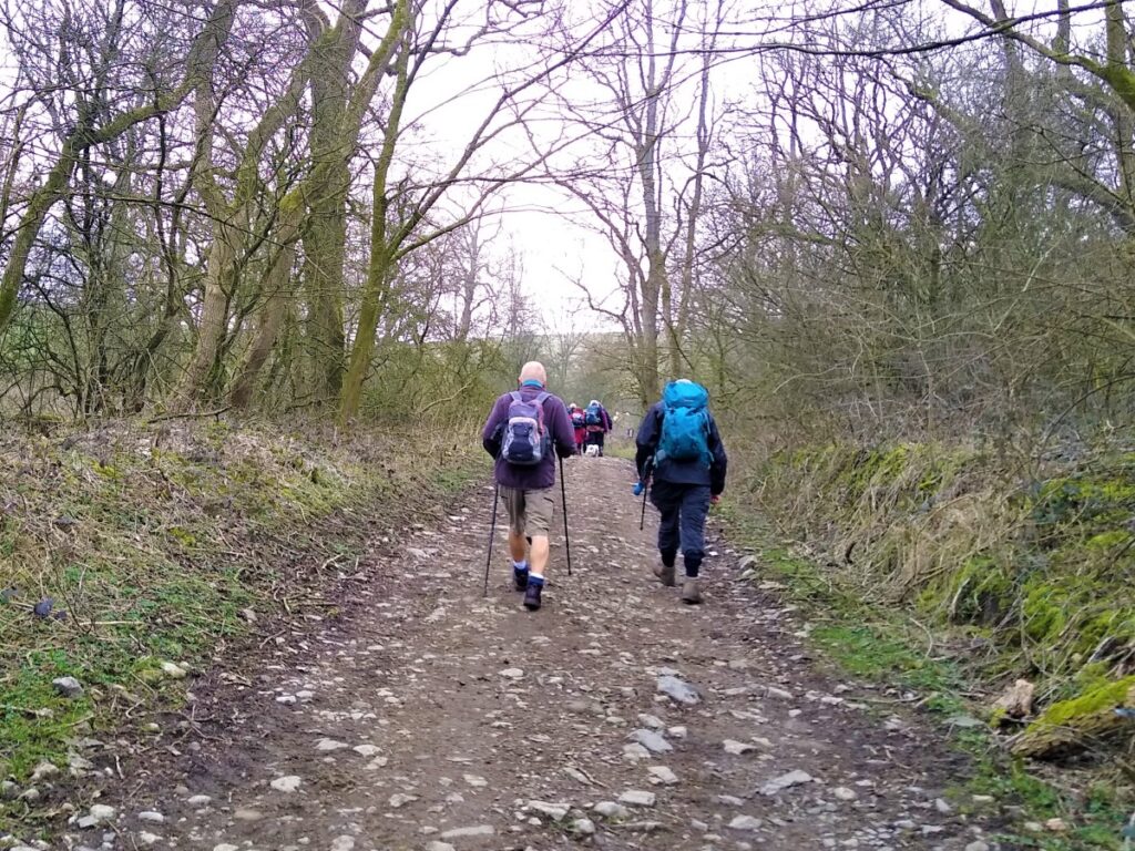
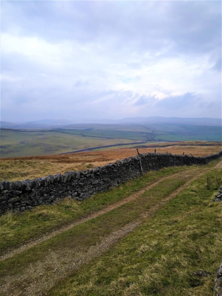
Once past the gates, the track heads steeply uphill taking a somewhat zig-zag route to make the incline more manageable. Our general direction of travel is North, and the track is clear and obvious as we head onto Calton Moor.
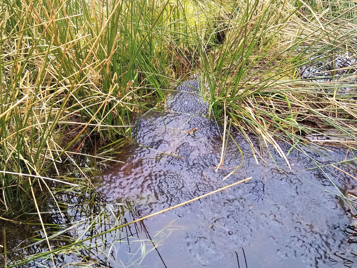
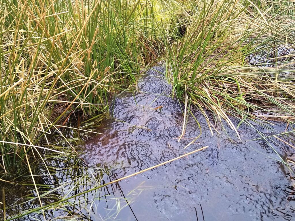
The track soon branches – we take left rather than heading right and down to the woodland. Our route is now relentlessly – though reasonably gently – uphill, and in a straight line along a clear, and very useable path. We pass through a couple of gates and notice lots of small pools within sight of the path which at the time of our walk (mid March) were full of Frog and Toad spawn.
A path from Hanlith via Hanlith Moor joins from the left – our return route takes us through Hanlith much later on, so if a shorter route is required this is an option – although having done almost all the climbing by now, carrying on to Malham seems more attractive.
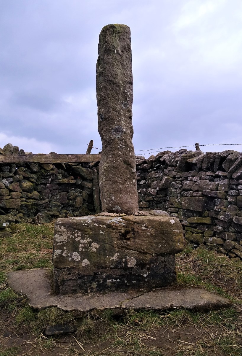
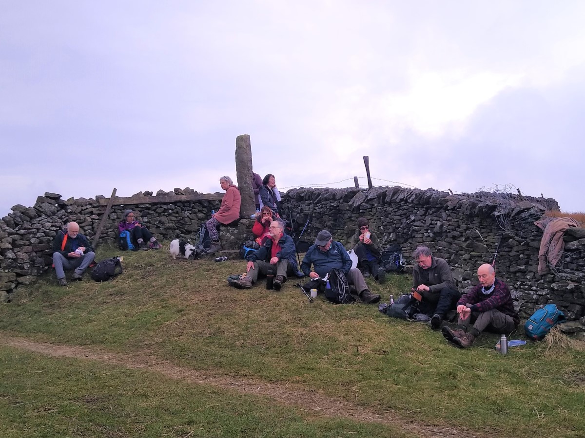
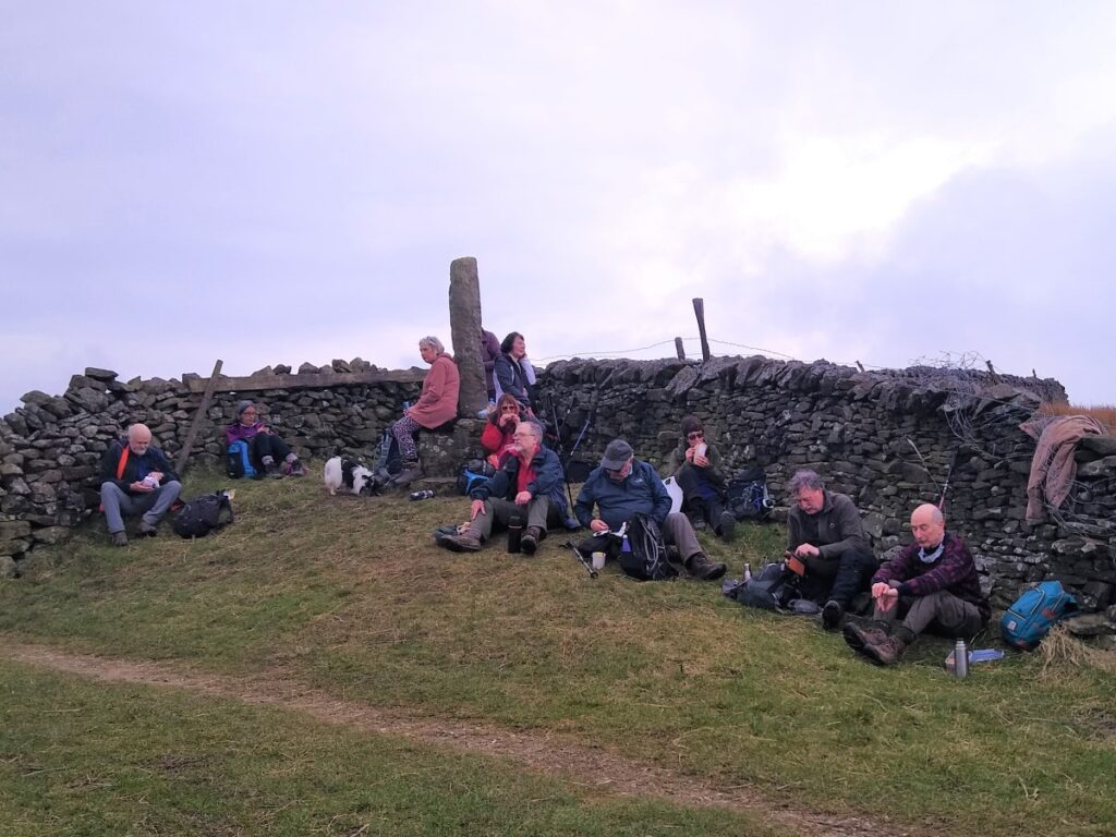
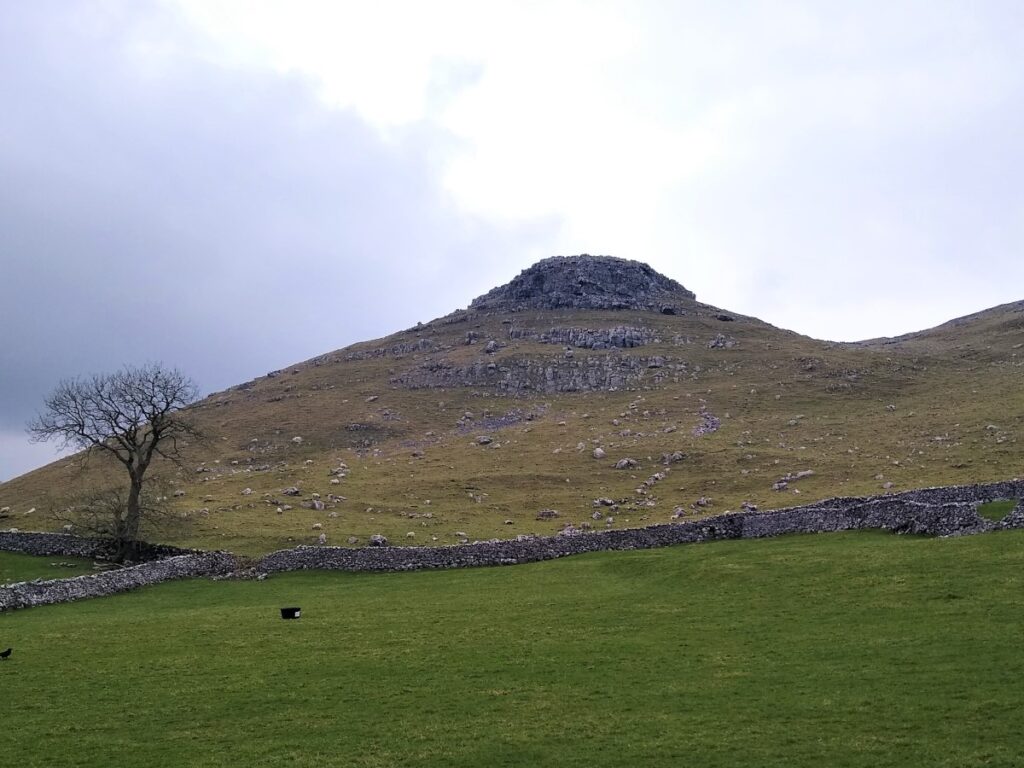
Ahead of us we see the peak of the hill – we are heading for the gate to the left of the peak but keep a look out for the Trig point at 414m. This area is referred to as Weets Top, and next to Weets Gate is a standing Stone: This is believed to be a boundary stone – medieval in origin, but “restored” at some time early in the 20th century. This post marks the junction of Bordley, Hetton, Hanlith and Malham parishes and is possibly the base and upright of a Medieval cross, although no inscription or other evidence remains.
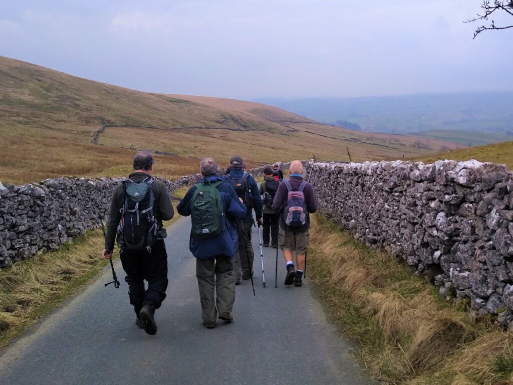
Our climbing is now done, so this is a good place to pause for a break before heading on along the lane which veers left and takes us down to a minor road (Hawthornes Lane / Gordale Lane) which heads to Malham.
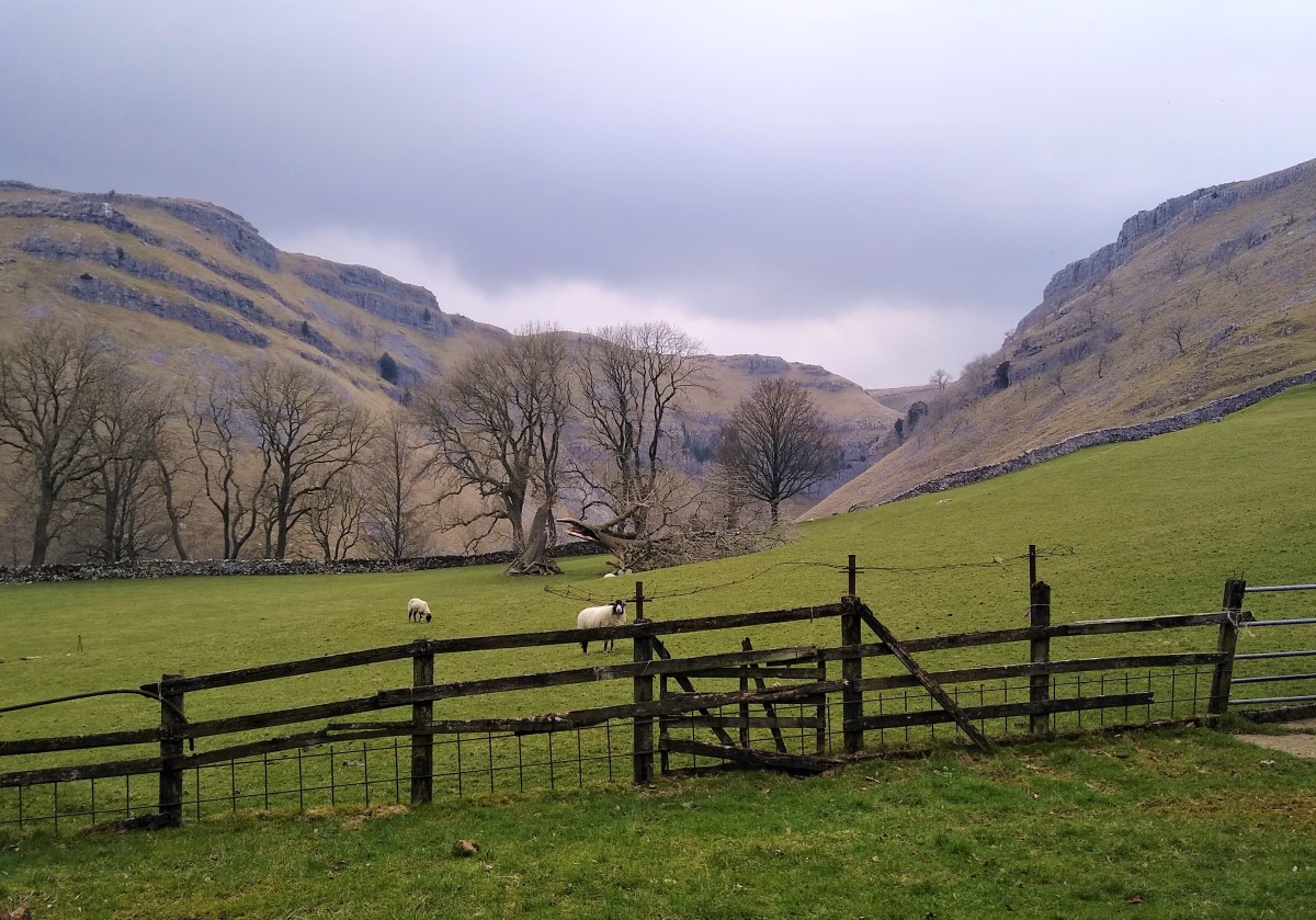
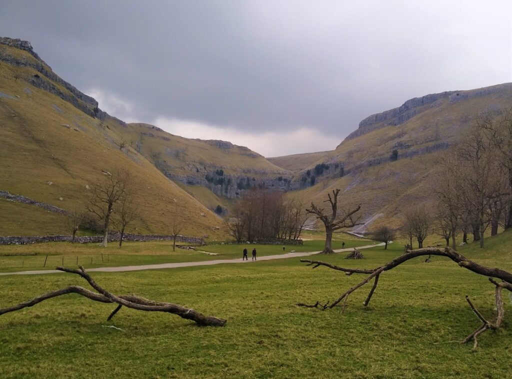
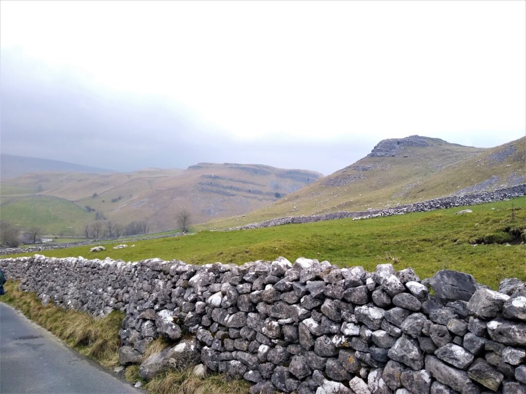
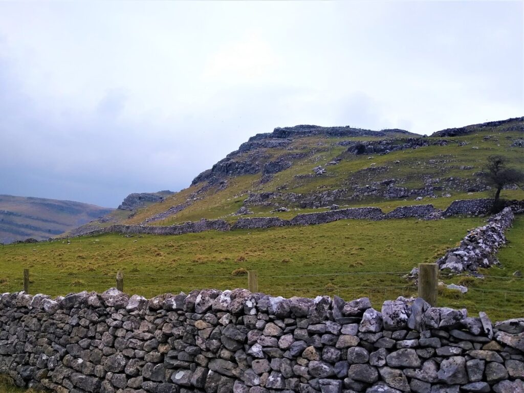
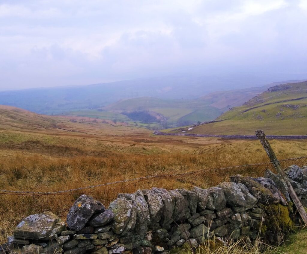
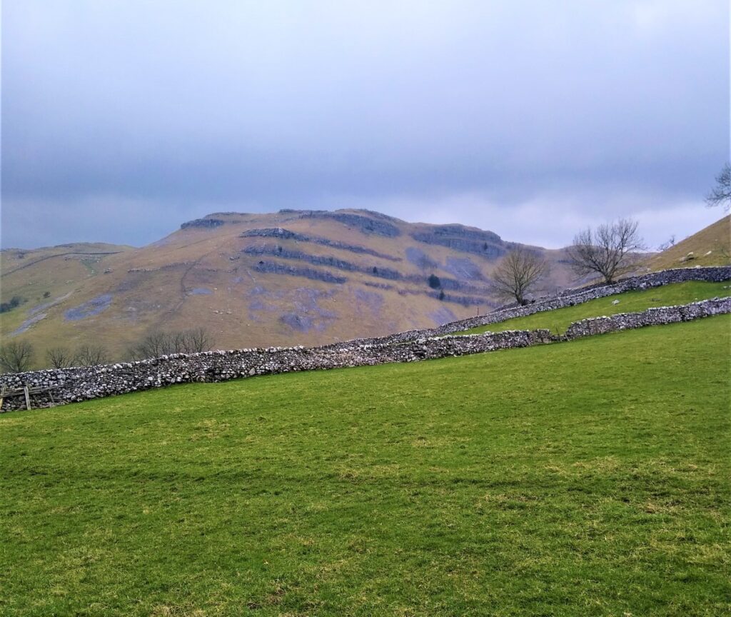
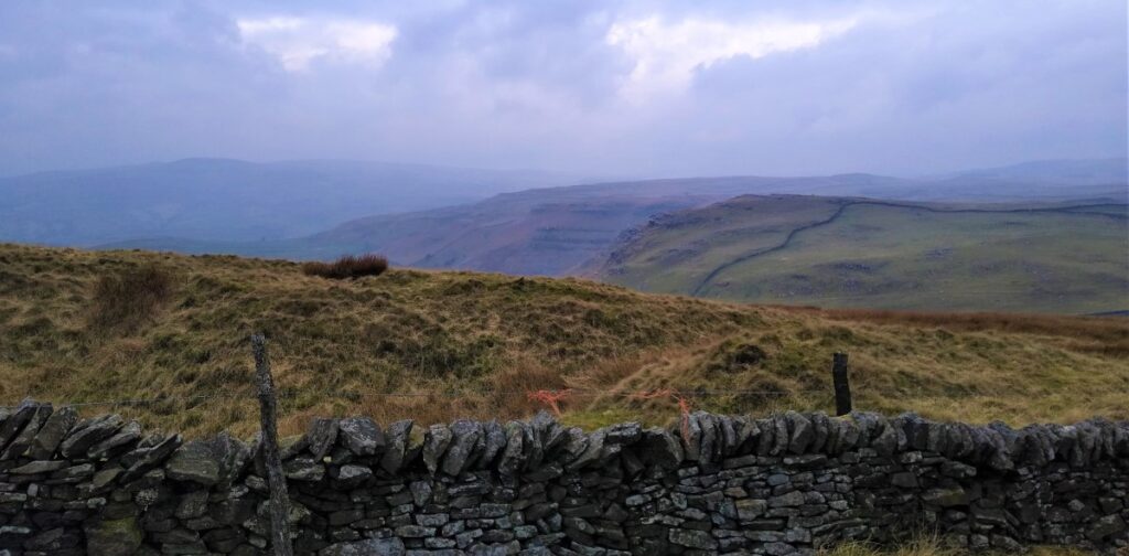
From here, the views of the scars and limestone outcrops are very impressive – particularly as we approach the path up to Gordale scar which leaves the road on the right.
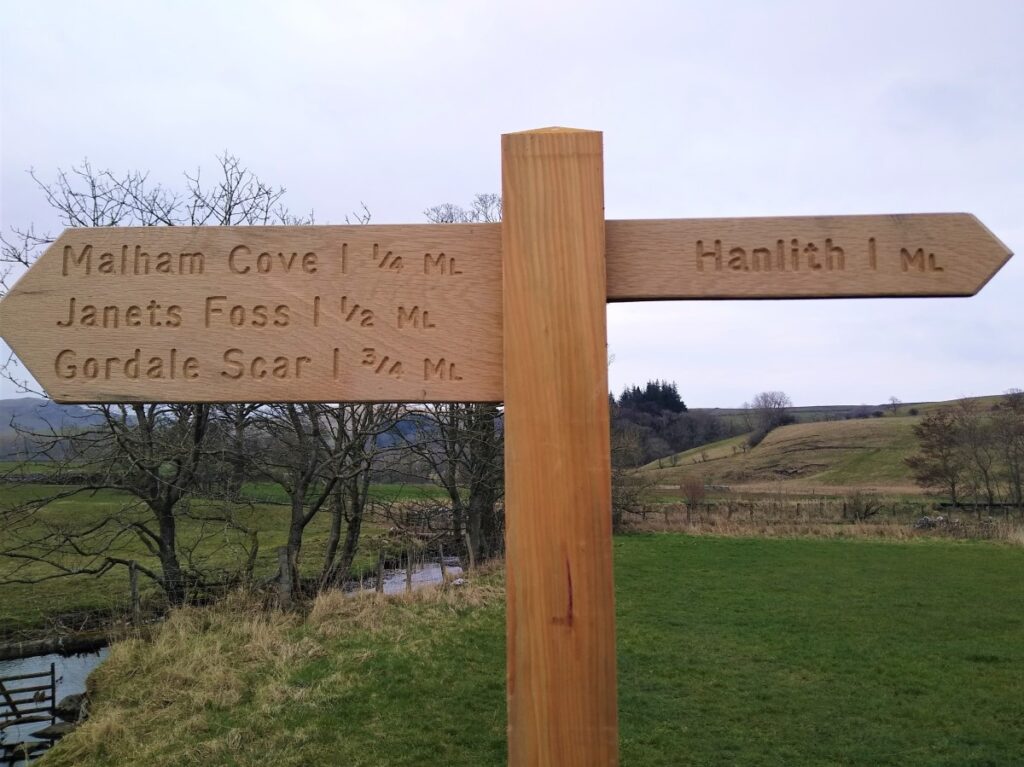
We follow the road round to the left at Gordale Bridge – and notice a well trodden path directly ahead which is a good route over to Malham Cove – again, that’s not our destination today, but is well worth a separate trip – see https://www.yorkshiredales.org.uk/places/malham_cove/
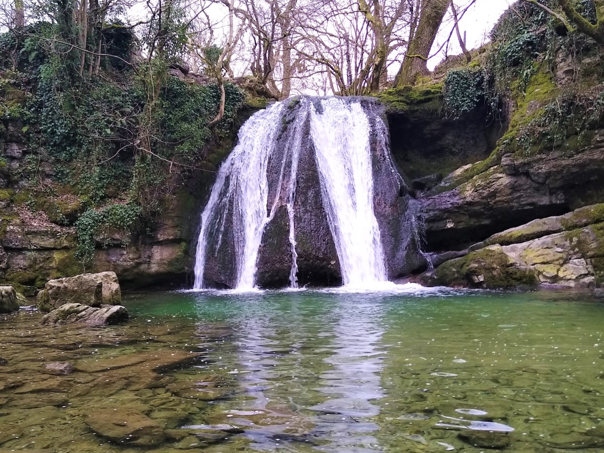
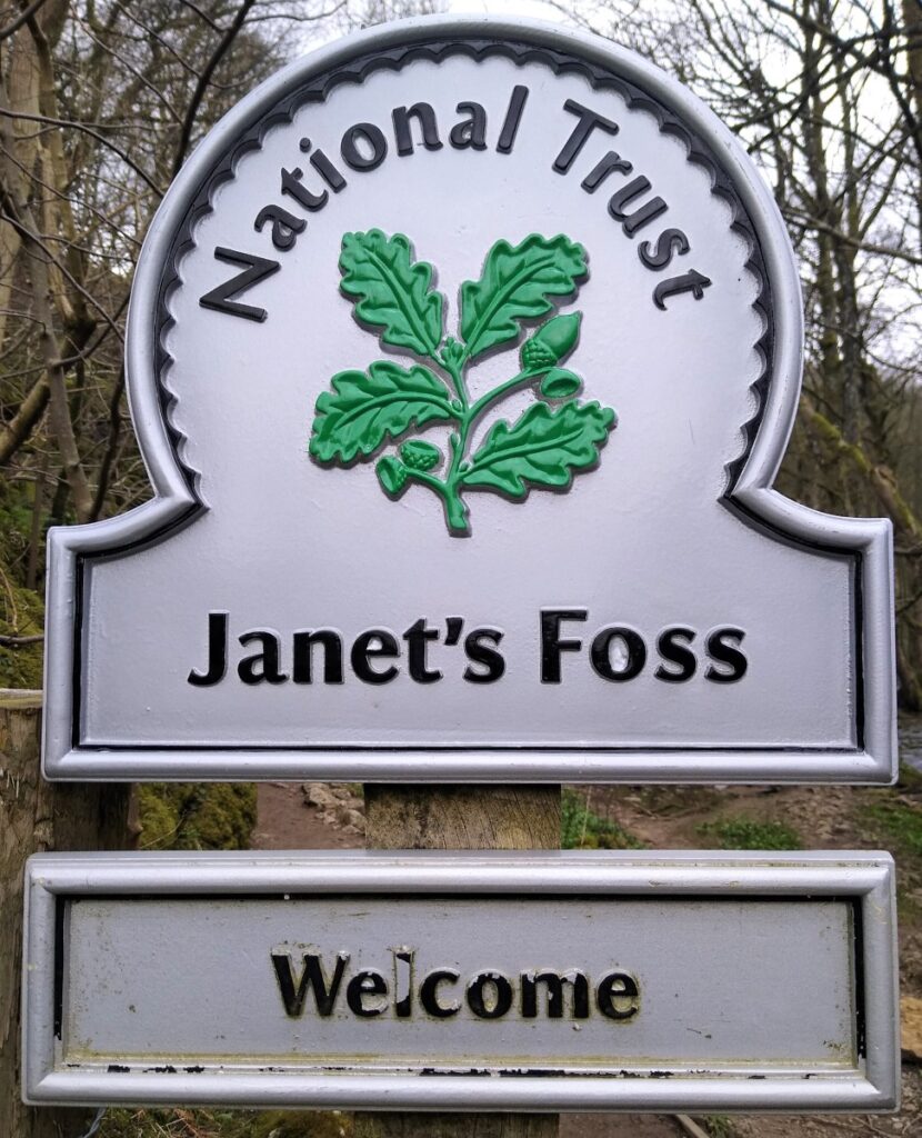
As we follow the road, we see it head steeply uphill – the path we need is signposted to Janet’s Foss, and it’s on the left before the steep section.
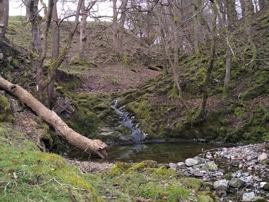
Janet is believed to be a reference Jennet the Queen of fairies, reputed to live in a cave behind the waterfall. The pool at the bottom of the waterfall is an attractive milky green / brown colour. This is caused by Tufa – a soft mineral that precipitates as the water flows giving a cloudy appearance.
We now follow the gorge down toward the flat meadow land outside Malham. The woods here host a lot of wild garlic and although tree falls in the last winter storms have damaged some of this, expect an strong and characteristic smell through April and May.
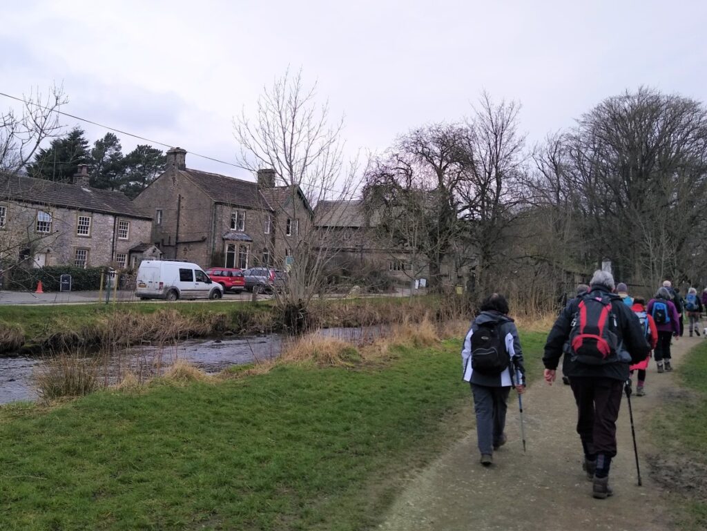
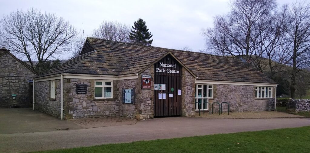
The pretty village of Malham soon comes into view, and we follow the obvious and well-trodden path into the village and the National Park Centre – a good place to take a comfort break.
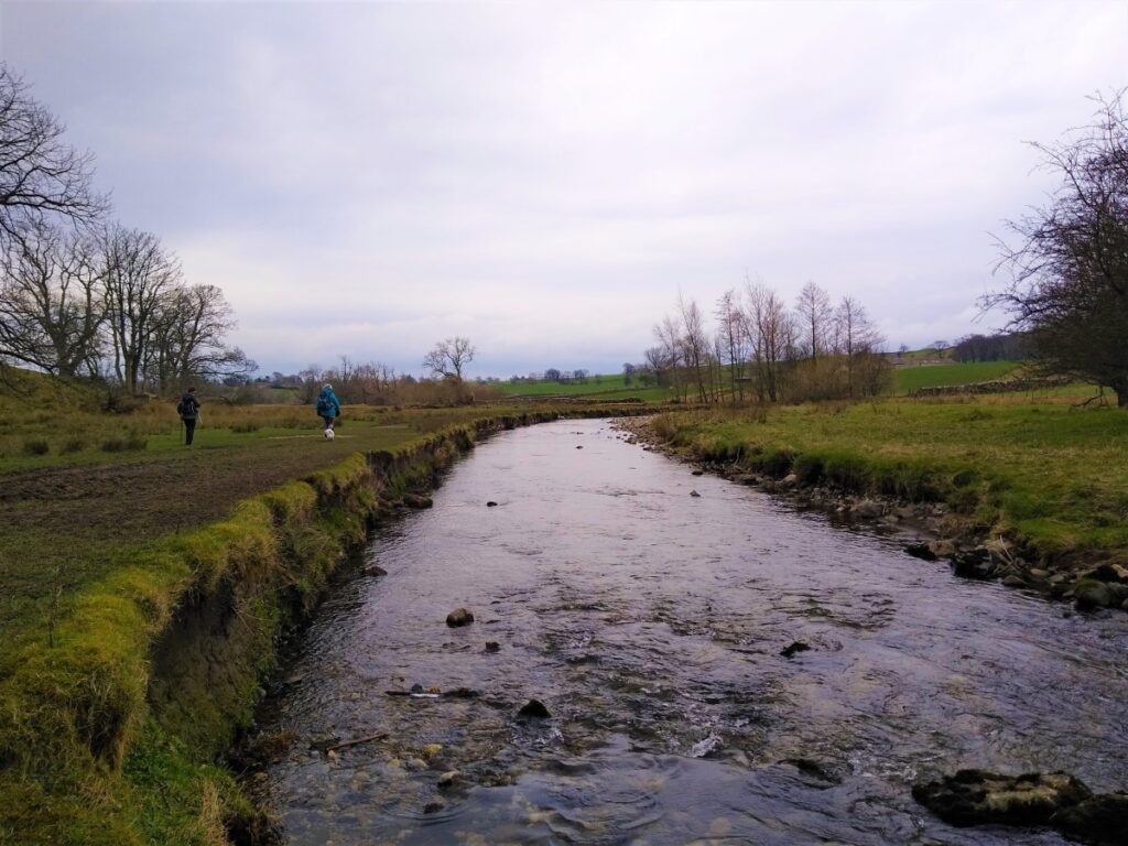
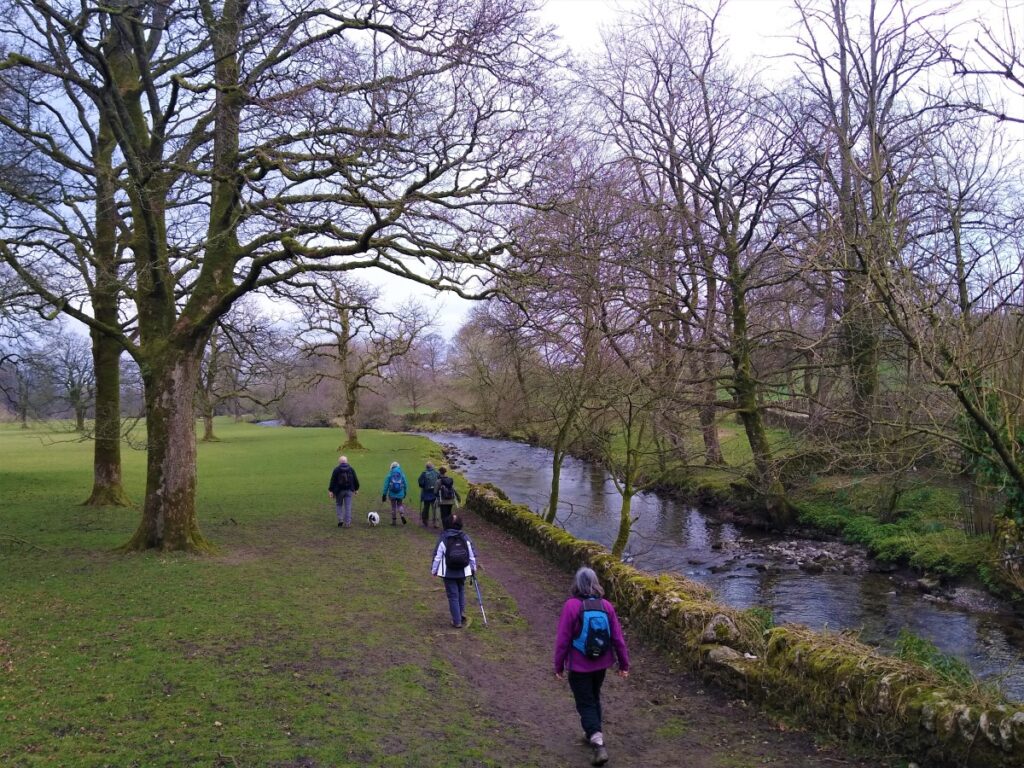
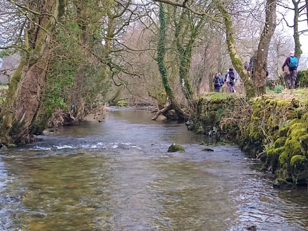
The second part of the walk is much easier than the first, and is quite flat. Essentially we simply follow the River Aire downstream along well trodden paths including The Pennine Way back to Airton.
We start by heading left out of the Visitor Centre as if going back the way we came into Malham. We notice a stile into the field next to the road – where we pick up a well trodden public footpath, which we follow with the river Aire on our left at this stage, taking well maintained stiles through drystone walls at field boundaries.
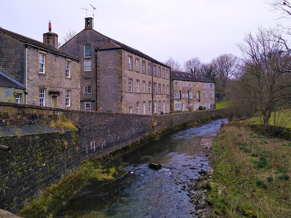
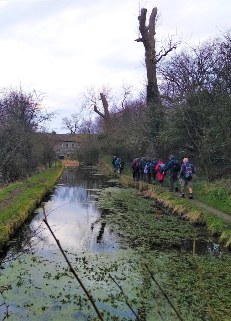
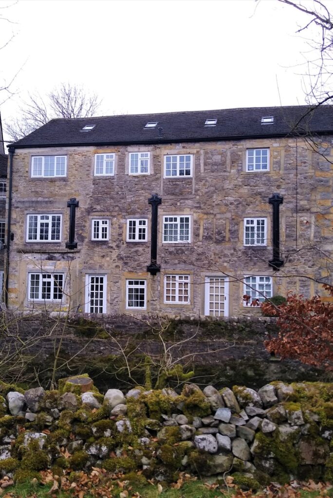
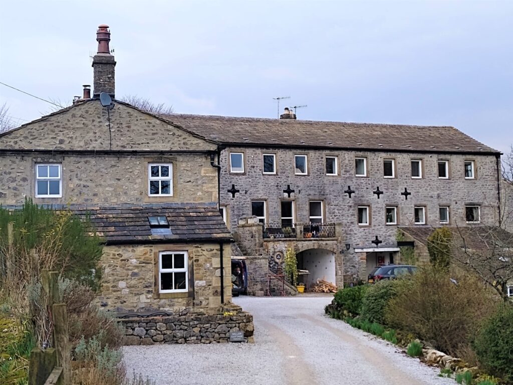
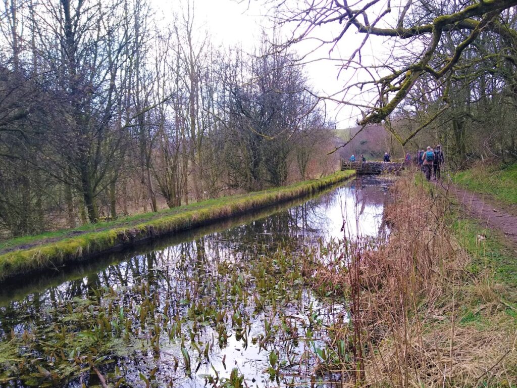
As we enter more scrubby land, notice that a sluice gate is installed to divert water from the river into a channel that is clearly man-made looking somewhat like a canal. This was a water supply to a mill that is now converted to attractive housing.
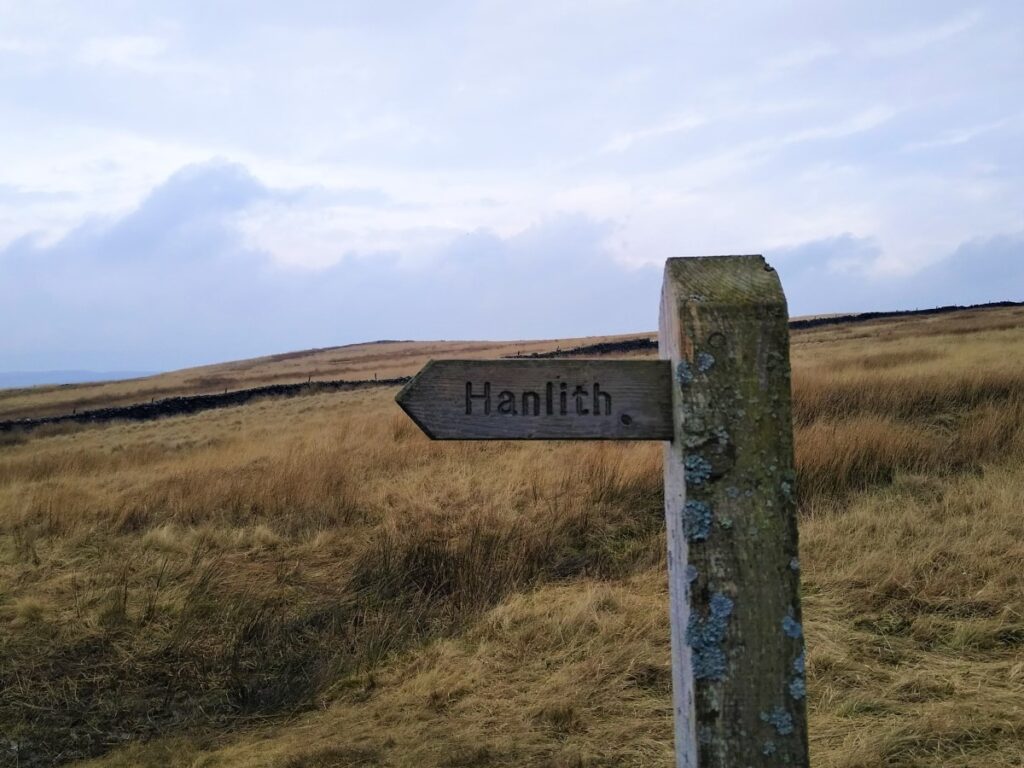
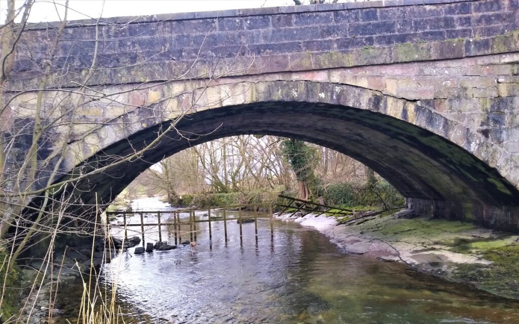
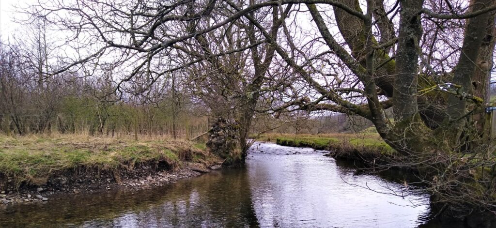
We continue downstream, still with the river on or left until we come to a bridge at Hanlith – here we cross the river using the road bridge and pick up the Pennine Way, now with the river on the right of the path.
We press on, keeping the river on our right, and avoiding the temptation to follow farm tracks on the left as we head back down into Airton. Just as we saw water being diverted from the river to feed mills earlier, there are some signs of structures on the far side of the river that diverted flow to the Airton mill which we soon see on our right.