Jump to . . .Step by Step | OS Map | Downloads | Gallery | Fly through
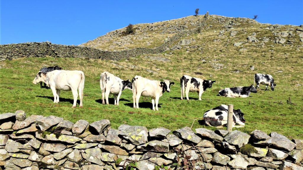
A quick glance at the “Big Map” page on our website shows just how much Bentham Footpath Group favours Austwick as a base for walks, and a look at today’s gallery clearly shows why.
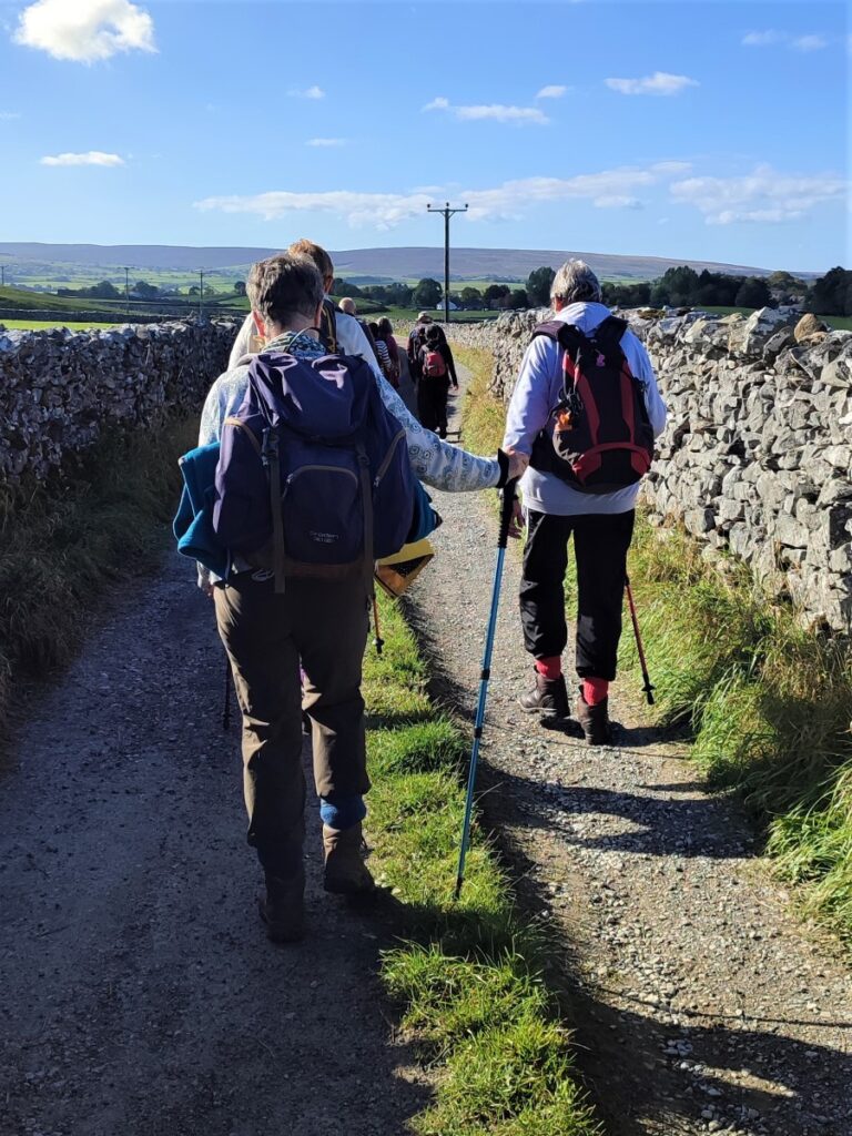
For this easy walk, we park near the Traddock Inn and stroll through Austwick and out to the Horton Road where we pick up Townhead Lane to start the climb up to the Erratics. When we meet the Pennine Bridleway we take left to enter the fields that lead up to the Erratics, where we explore for a while, before heading across Nappa Scars and over to the Wash Dubs. From there we walk gently downhill to Wharfe and across to Wood Lane which we follow as far as Austwick Bridge, and the Traddock.
- Total distance 9.5 km (5.9 miles)
- Total ascent 348m
- Easy walk
Step-by-Step
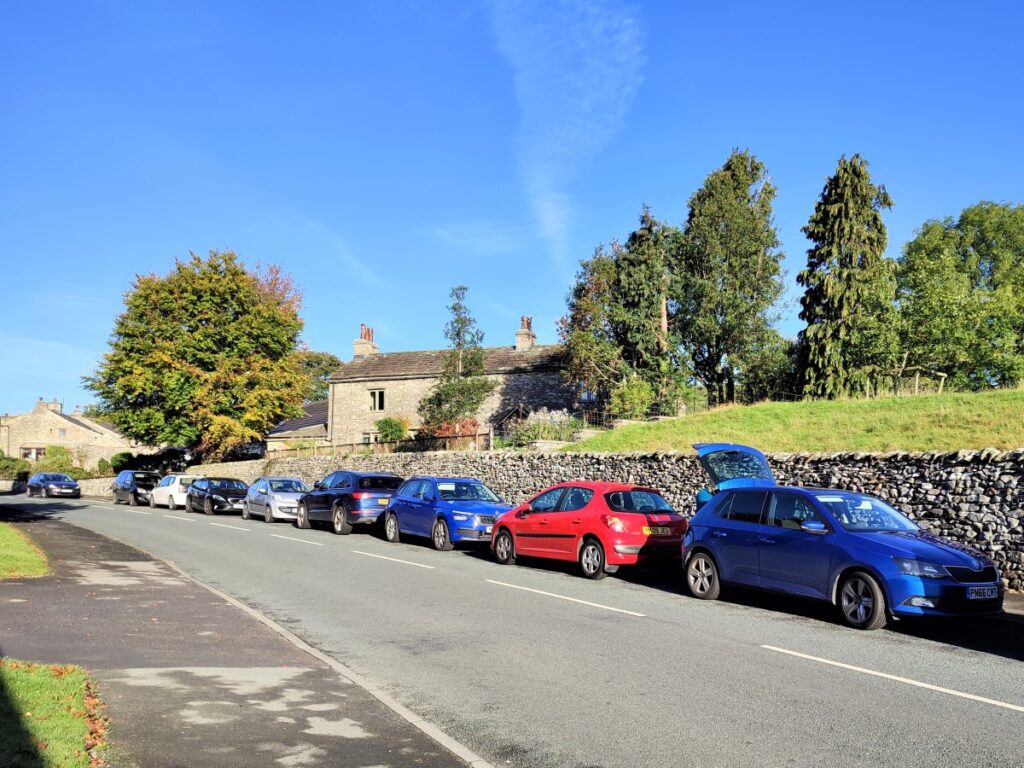
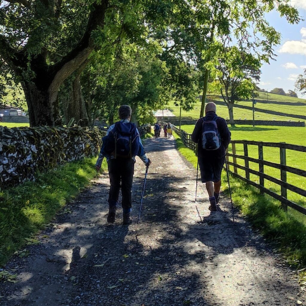
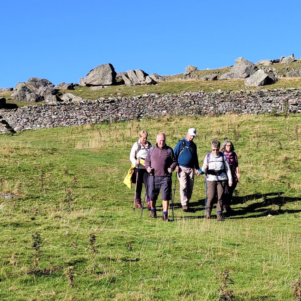
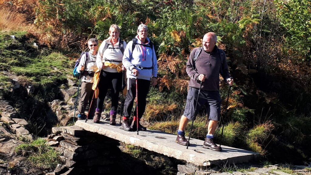
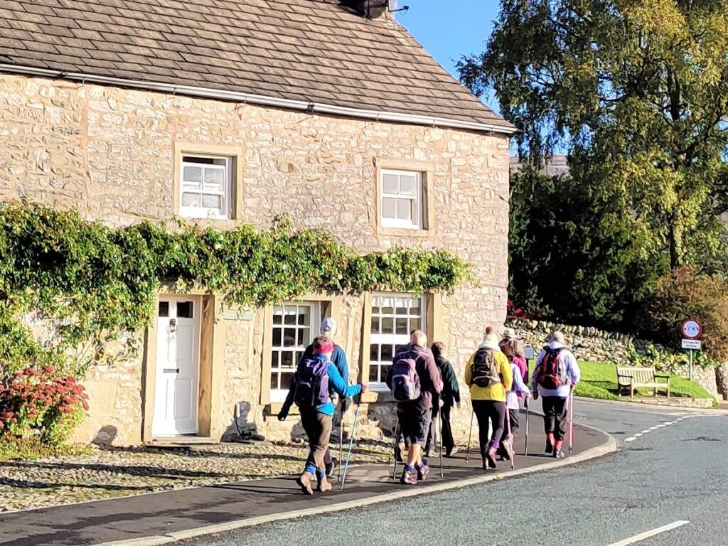
We start the walk by finding roadside parking in Austwick – the road down to the Traddock is often a good choice, but as ever please park with consideration for residents and local businesses.
Satnav users will find that postcode LA2 8BY, or road name Graystonber Lane, finds the Traddock. What-3-Words tag chromatic.gathers.scrolled also works, and if you prefer a paper map, then grid reference SD76856833 is our starting point.
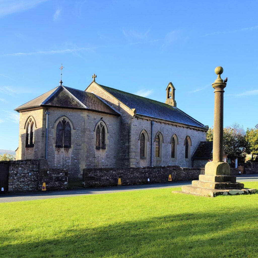
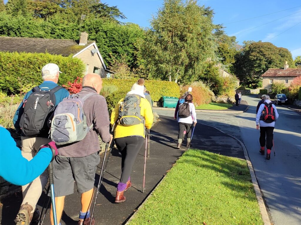
We start by heading uphill back to the centre of the village, and at the triangle in front of the Church of the Epiphany we take a right onto main street. The church is worth coming back to explore at another time: A Chapel-of-Ease is believed to have existed in the village by the late Middle Ages, although the exact site is uncertain, whilst the church you see now was built in 1839. Towards the end of the 1800’s, the Ingleby family – relatives of the Ingleby’s of Ripley Castle – became benefactors and, with their financial support, the church was extended and improved. A chancel was added, better furnishings provided and a new pulpit using stone from Clapham was installed.
The wood for the altar came from oak trees growing in Lawkland Wood, and wooden racks for gentleman’s top hats still exist beneath some of the pews.
The church boasts particularly fine stained glass windows. These mostly date from 1880-1890 and were made by Lavers and Westlake of London with some given by parishioners to commemorate the 50th year of the reign of Queen Victoria.

We continue up Main Street passing the primary school on the left, and then take a left turn into Townhead Lane. This soon climbs – quite steeply in places – to take us out of the village past Austwick Hall.
This grade II listed manor house is now an upmarket B&B, and it is thought that the hall was originally a pele tower dating from the 12th century. The manor is recorded in the Domesday Book of 1086, but the first record of the hall itself is not until 1551, when it was purchased by Sir John Yorke from the Duke of Suffolk. The hall was later sold to the Ingleby family, and it has been suggested that the hall was rebuilt at this point, as three of the fireplaces and west chimney stacks date from the late 16th century.
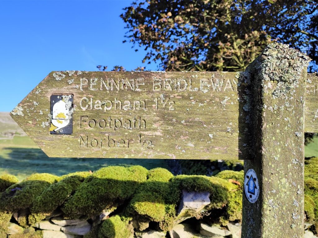
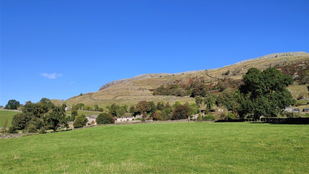
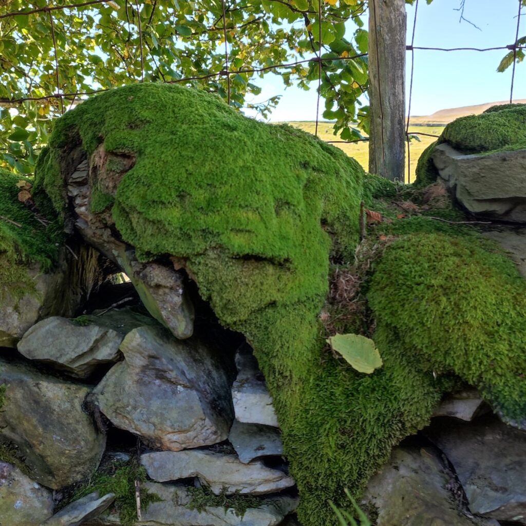
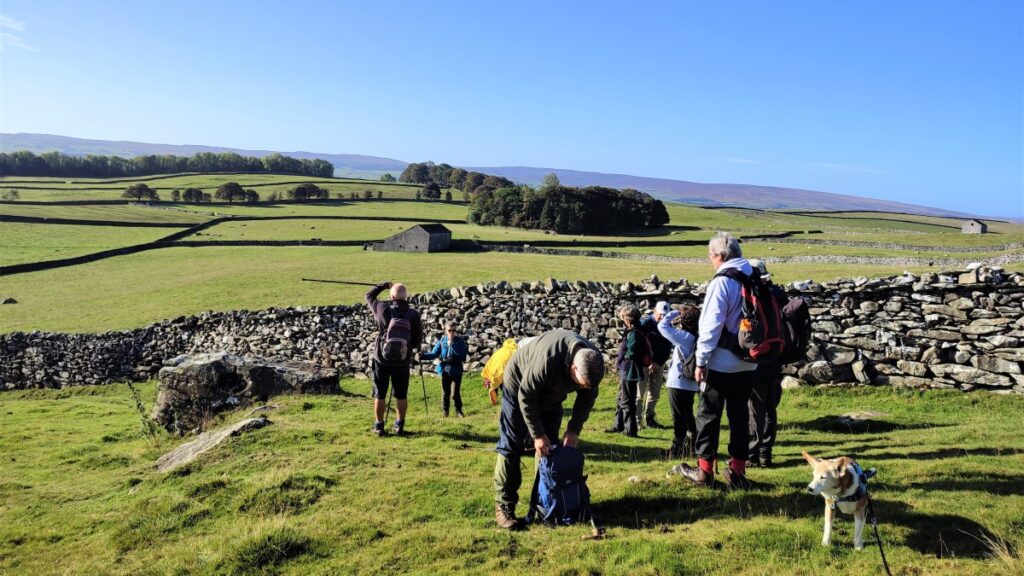
A little further on, we meet a crossroad, with Thwaite Lane crossing Townhead Lane, which continues on the far side as Crummack Lane. Thwaite Lane is part of the Pennine Bridleway, and we take the bridleway left for a short distance heading in the direction of Clapham (West). Keep a look out on the right for a gate where a footpath heads North through the fields toward the Norber Erratics.
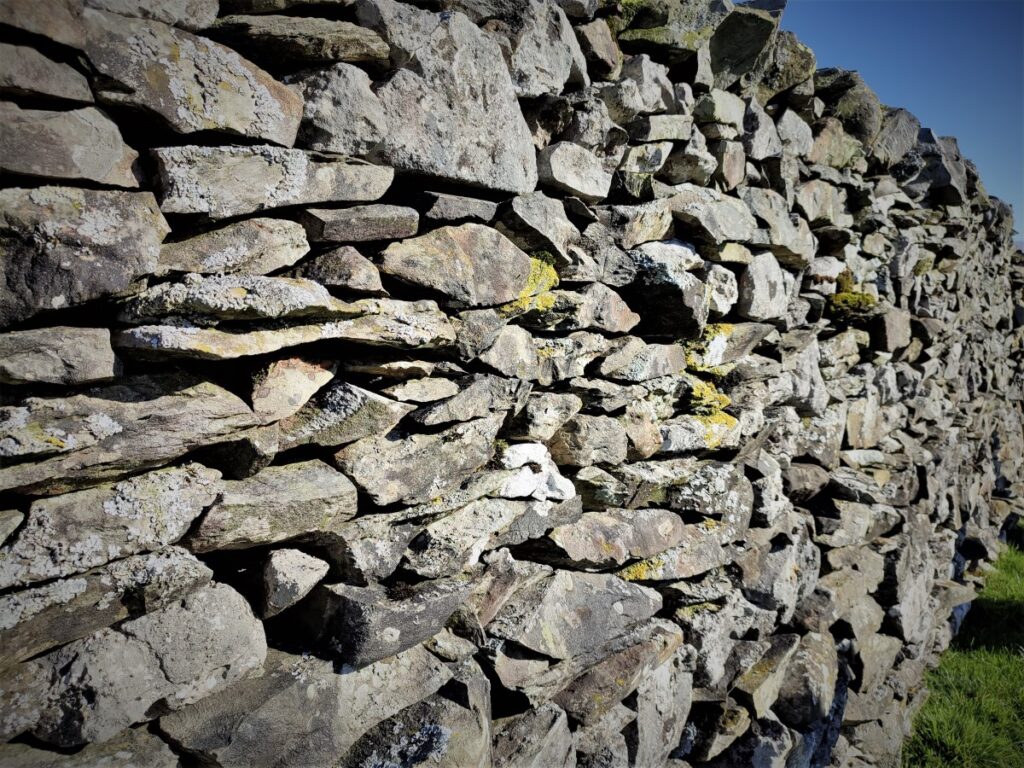
We cross the field – the track heads over to a wide gate in the drystone wall to our left, but the path comes off the track slightly to the right heading for the far corner where we find a smaller gate giving access to the path up to the Erratics.
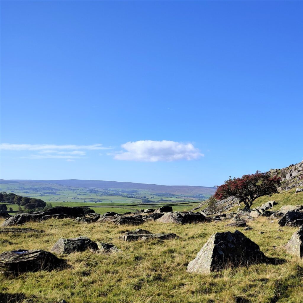
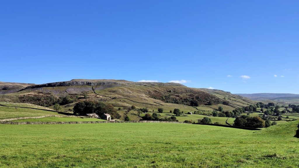
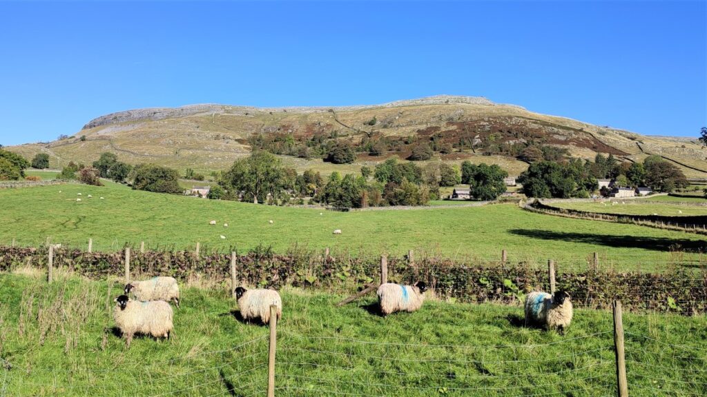
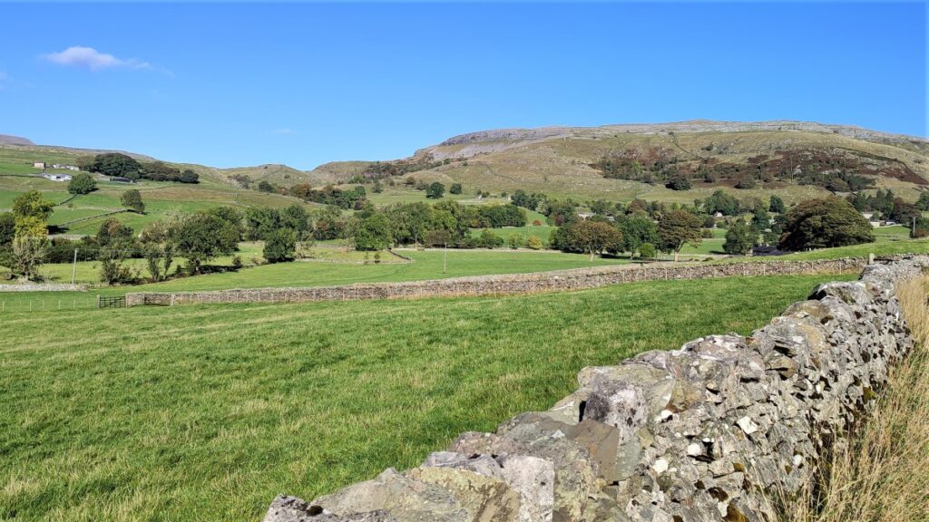
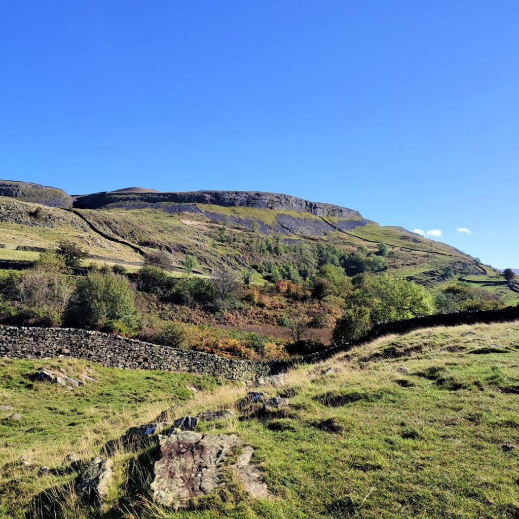
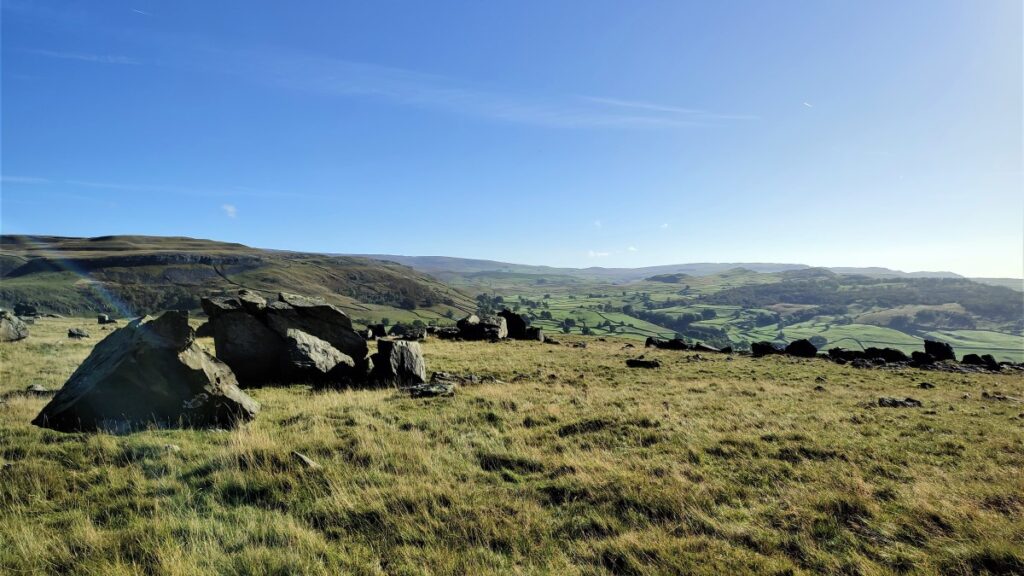
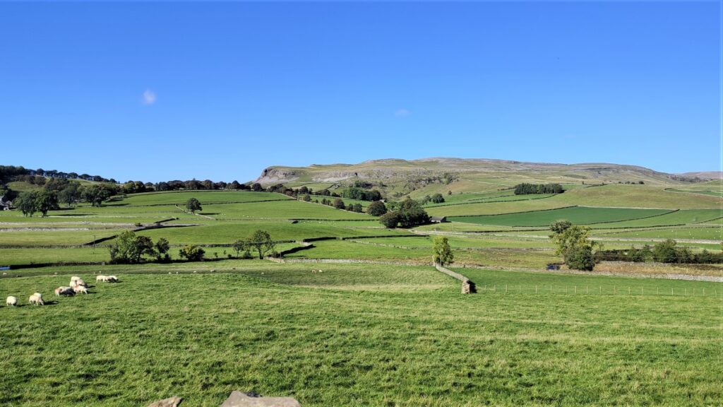
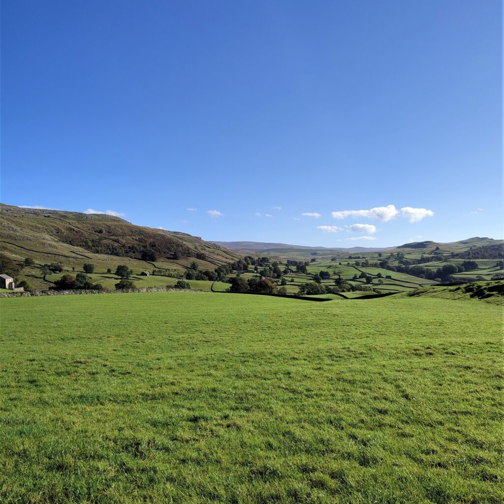
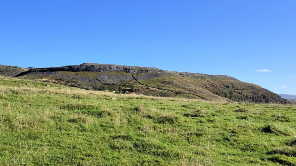
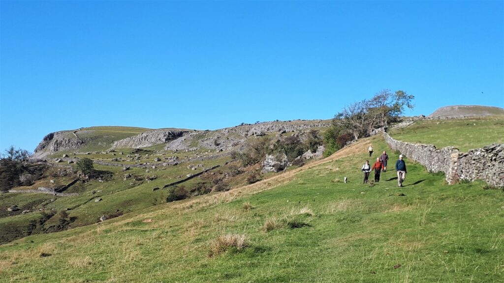
It is worth looking back at this point as we have now climbed far enough to gain excellent views over the Ribble Valley toward Pendle Hill, whilst Wharfe and Oxenber Woods are closer by, with Moughton and Studrigg Scars also clearly visible.
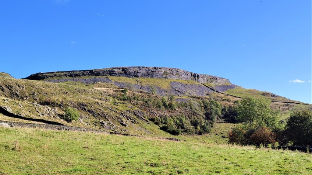
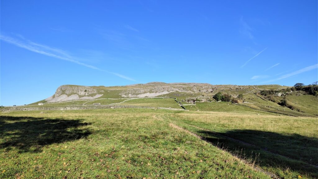
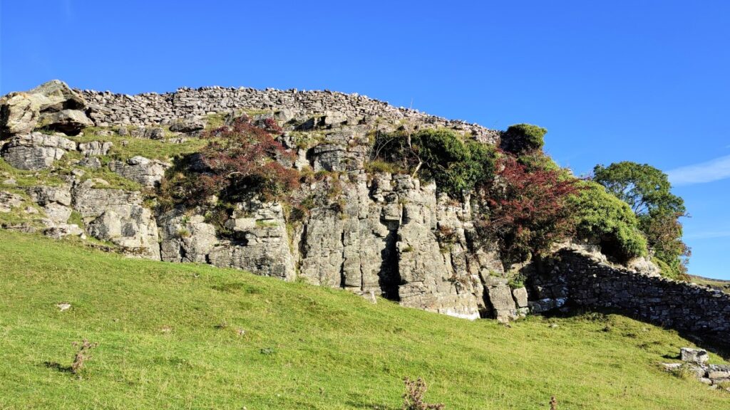
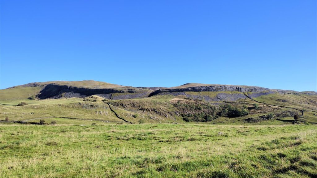
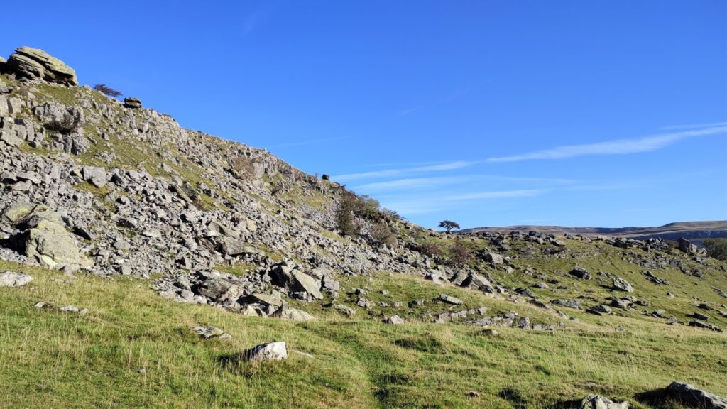
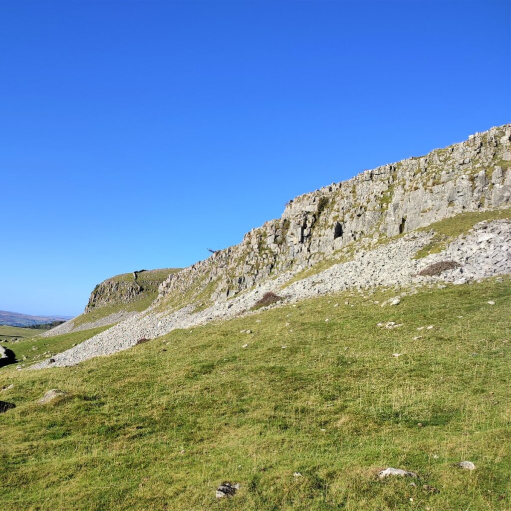
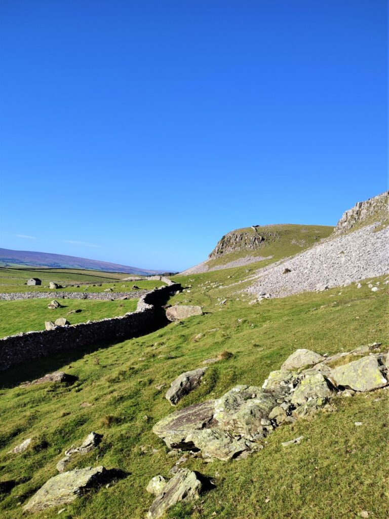
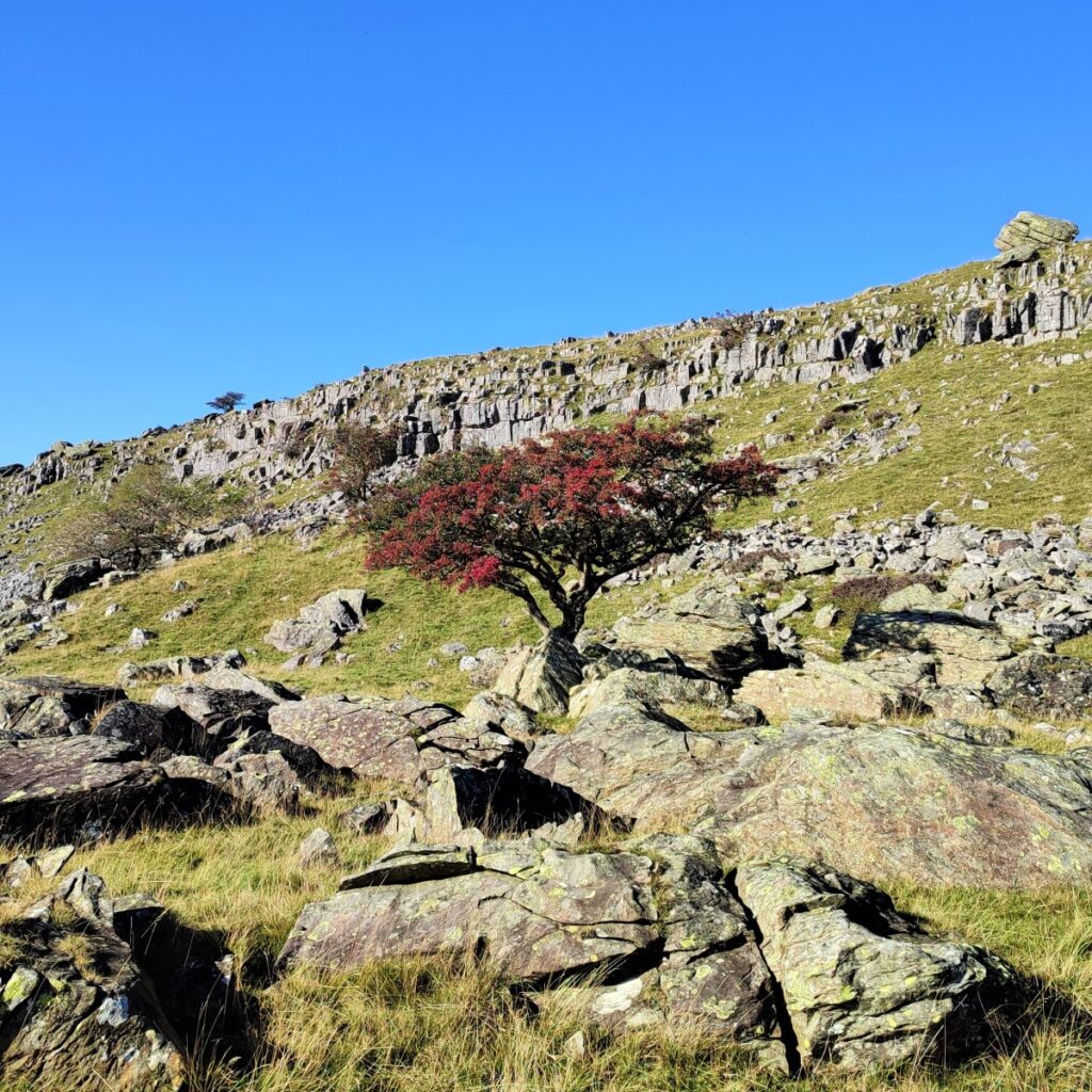
Much more dominant though is the scar ahead of us – Robin Procter’s Scar – also sometimes referred to as Norber Scar.
This is a popular climbing location, and it is not unusual to see groups tackling the steep face of the scar.

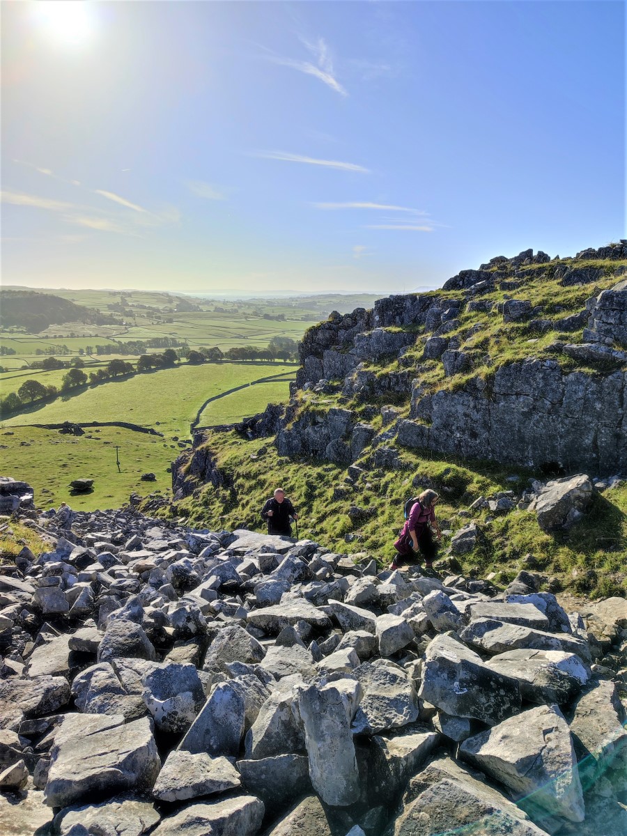
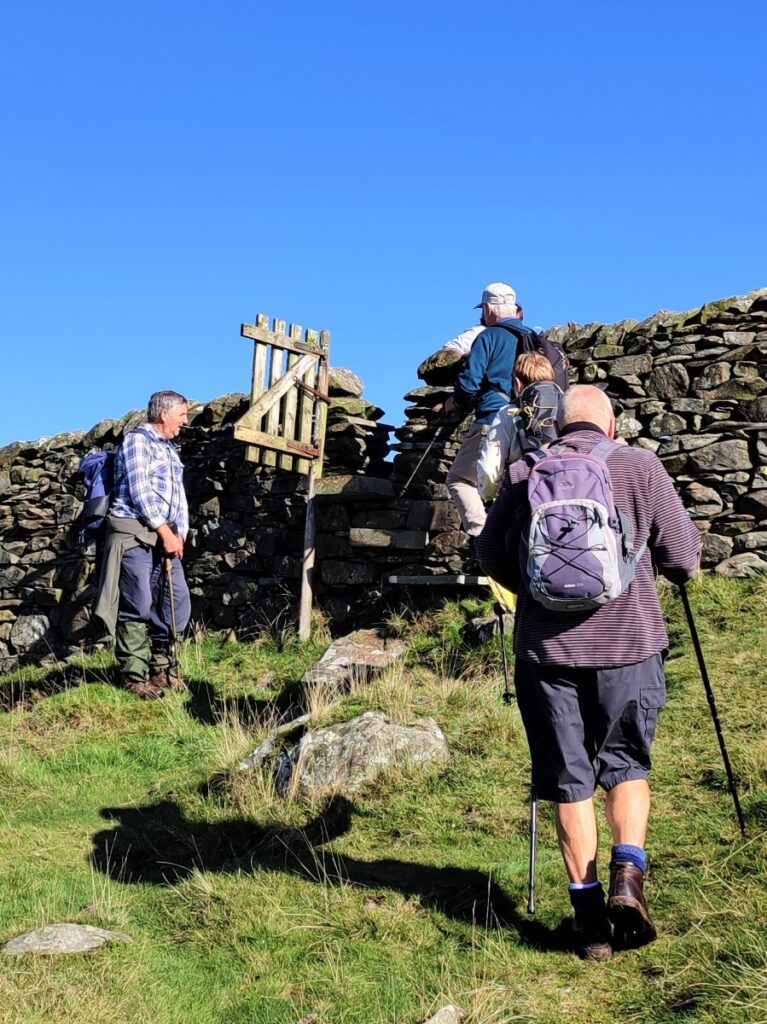
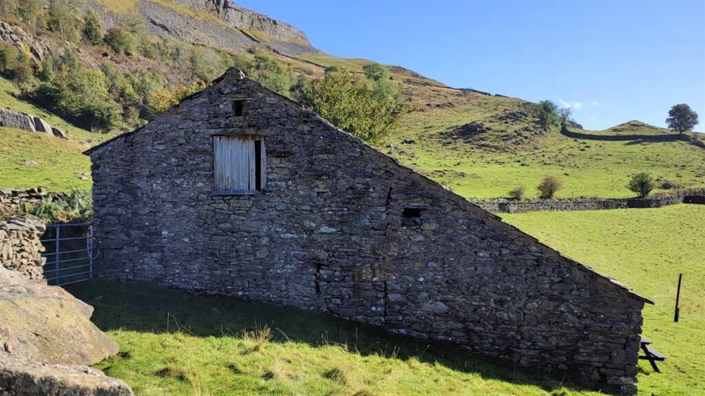
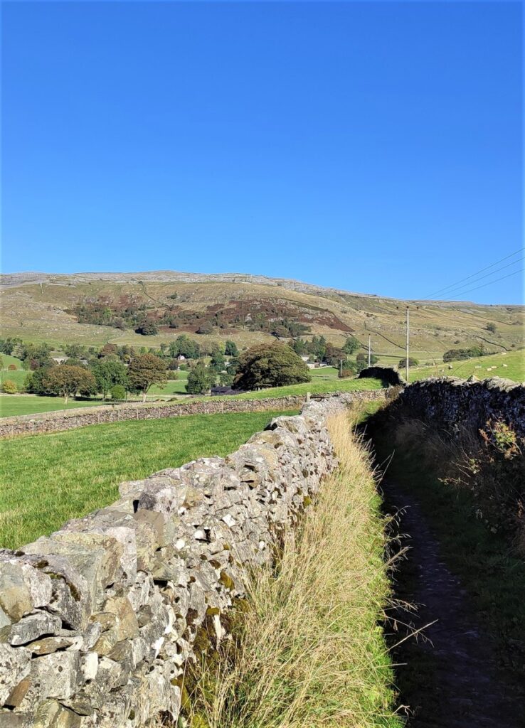
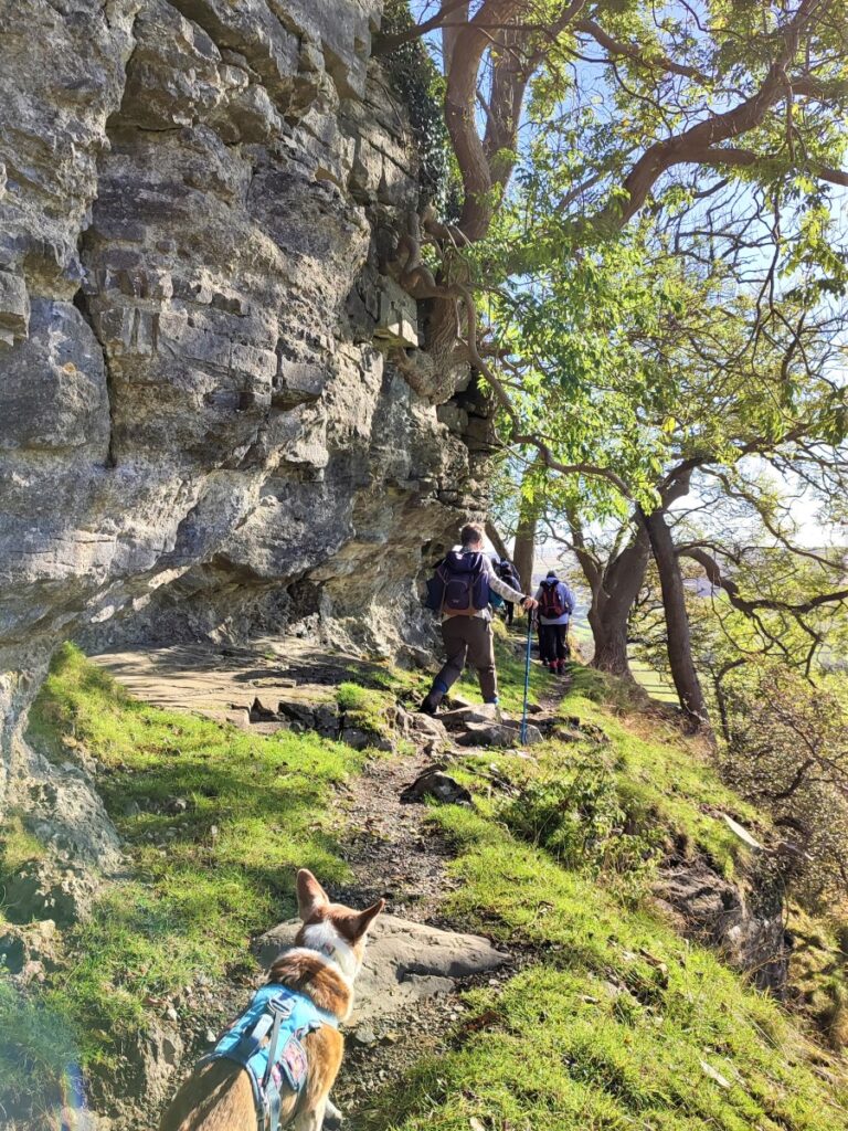
Our path up to the Erratics is quite steep from here. Start by following the drystone wall next to the small gate – this bears left a little, and as we approach the end of it we see another path crossing and a fingerpost indicating the route up to Norber.
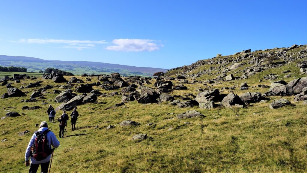
We take the Norber path, which leads us into a rocky clamber up the eastern edge of the Scar. This can be slippery when wet, so take care. This section is quite short, and we soon find ourselves on gentler ground and start to see the Erratics ahead of us.
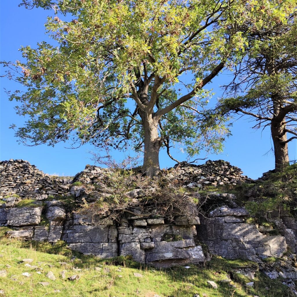
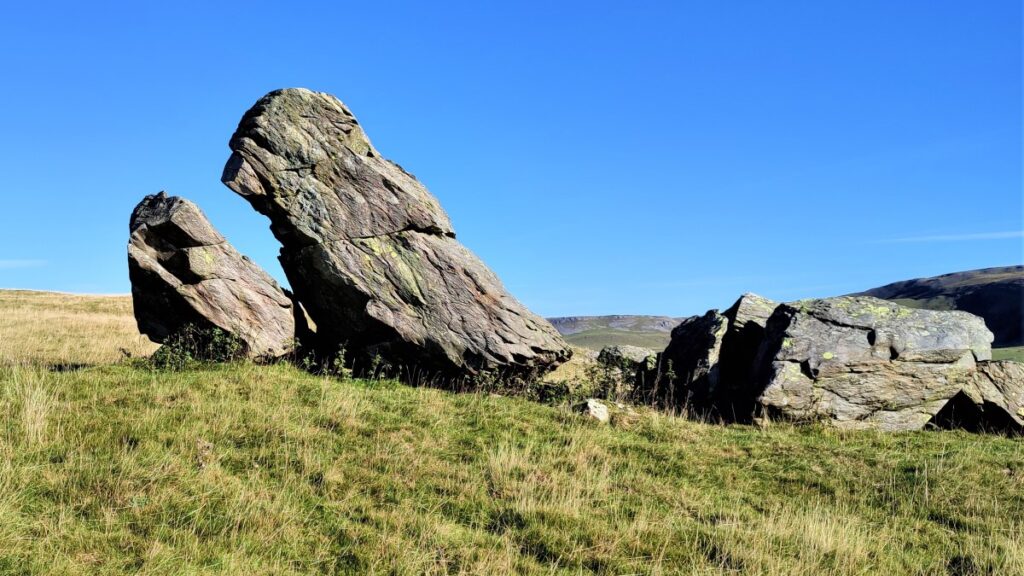
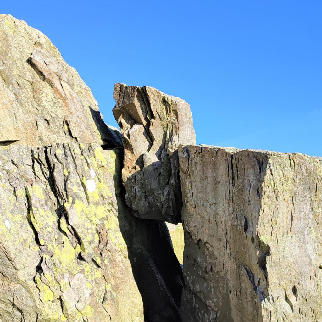
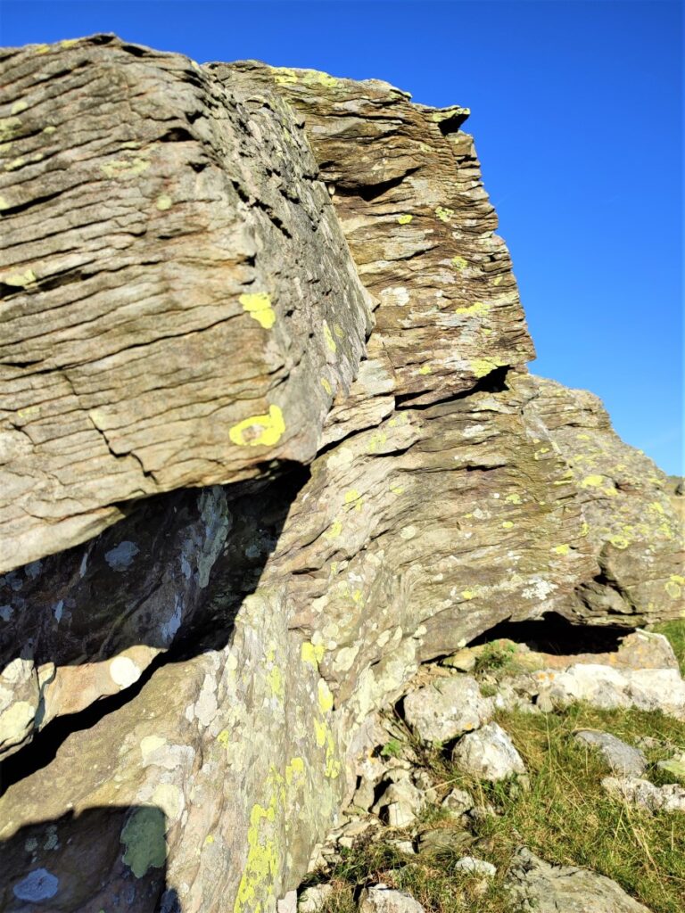
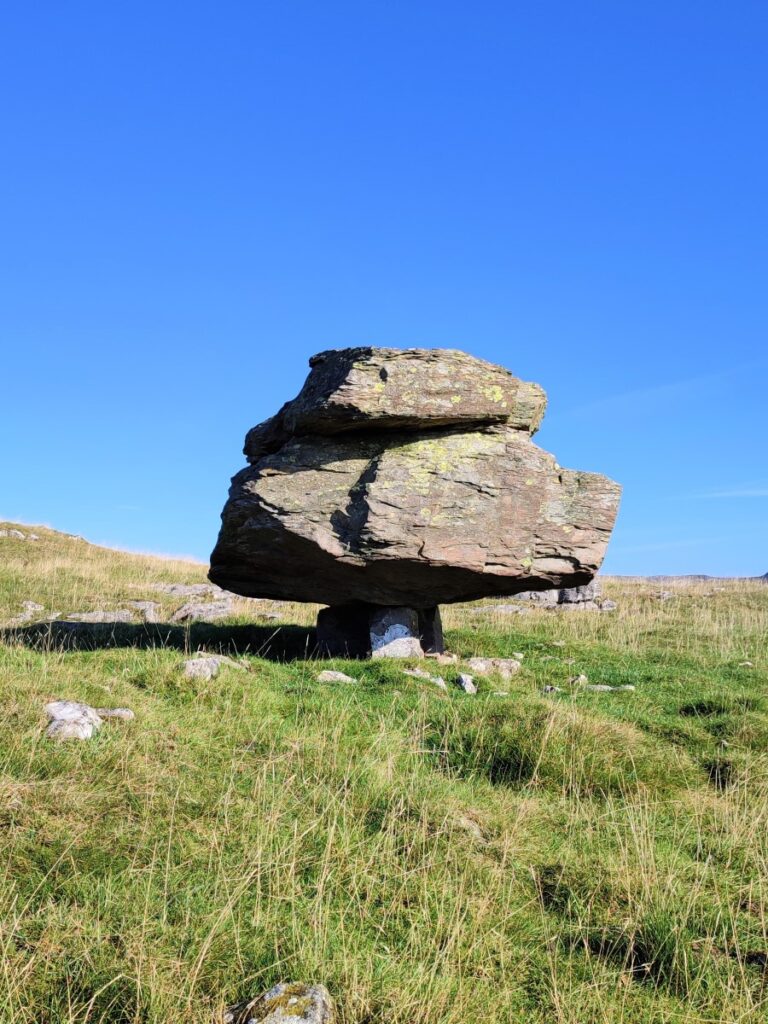
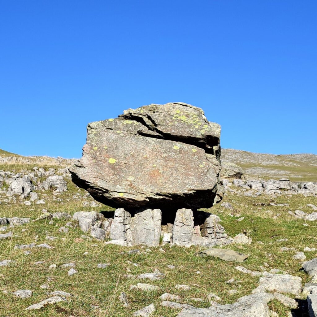
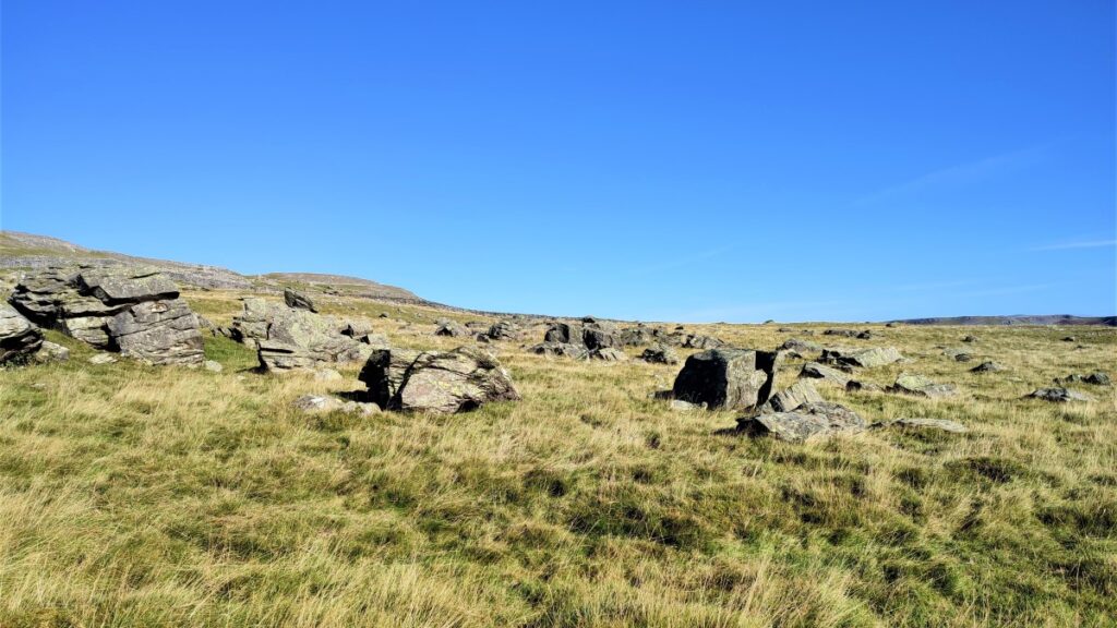
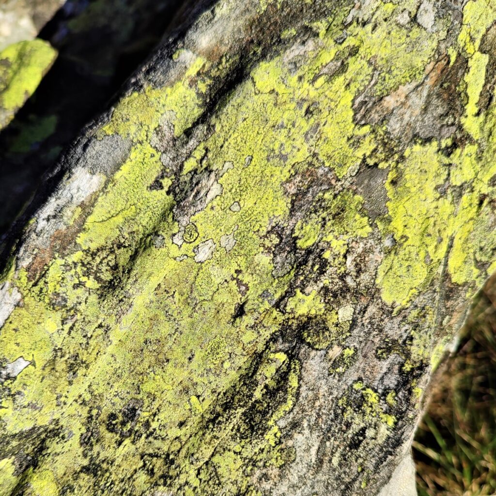
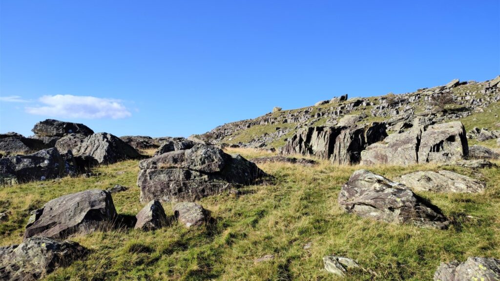
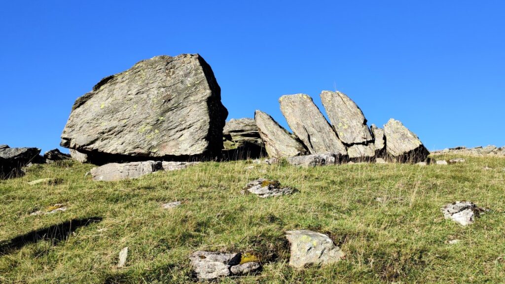
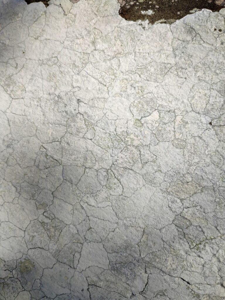
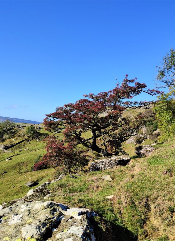
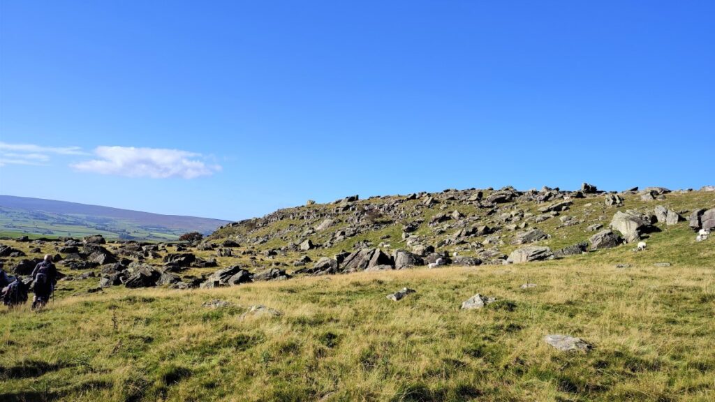
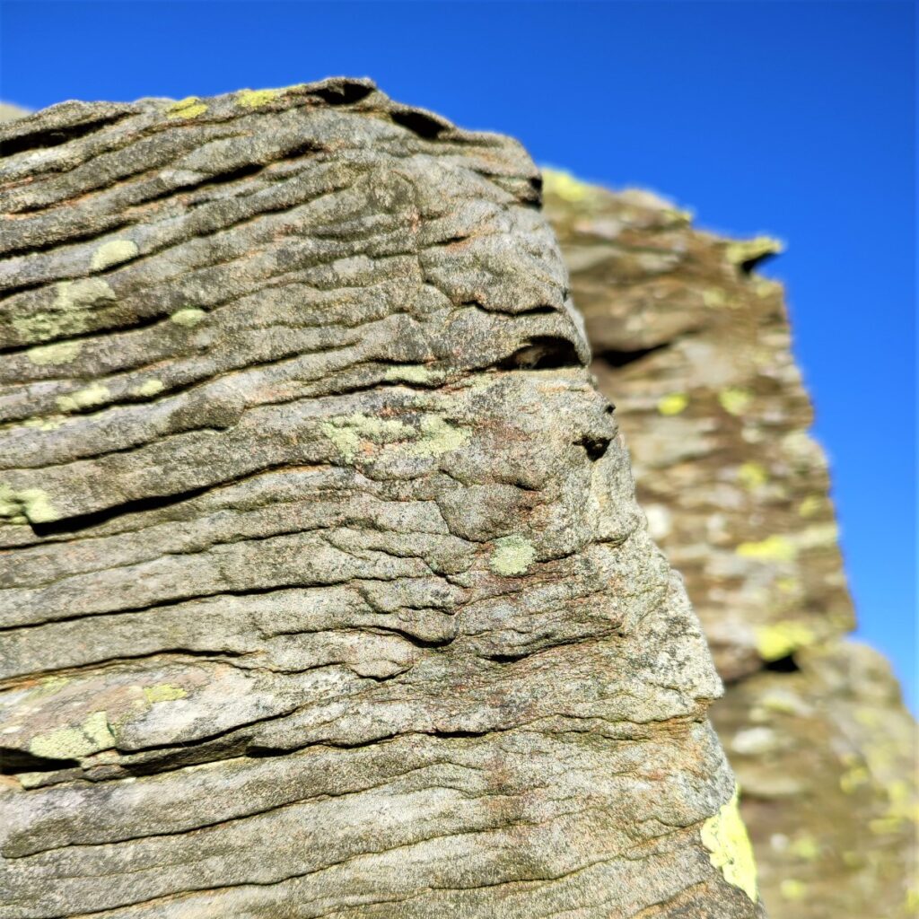
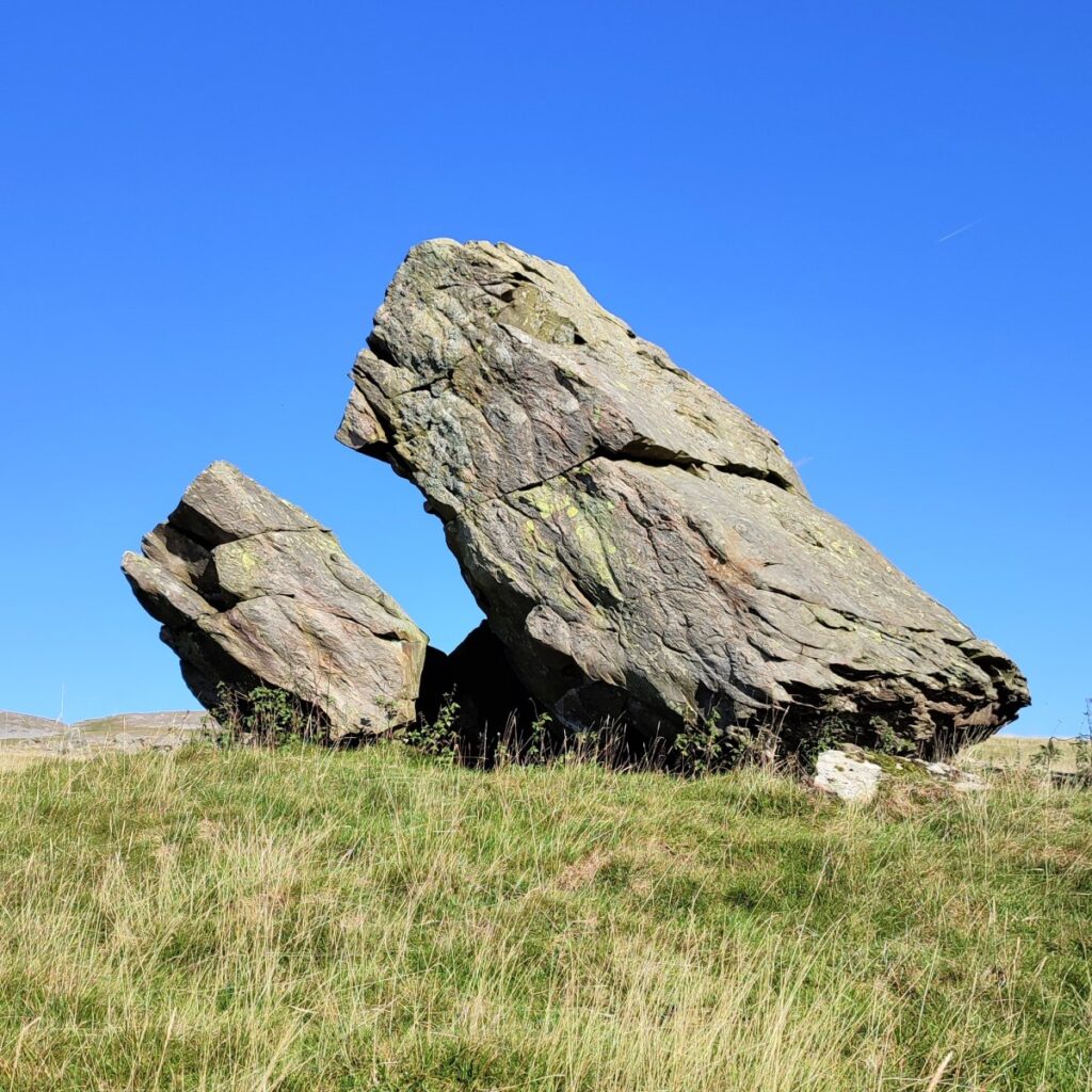
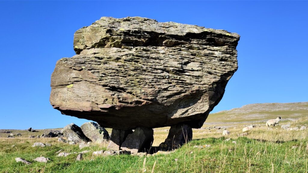
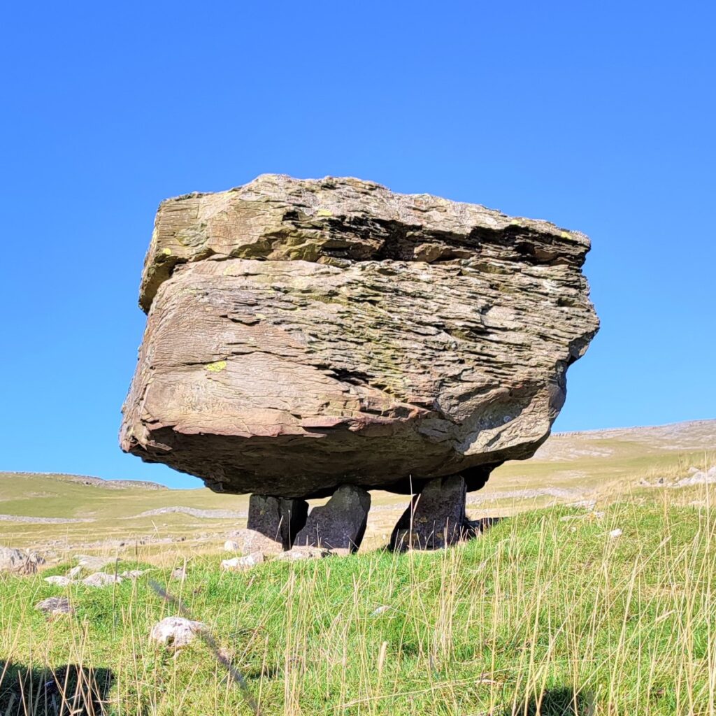
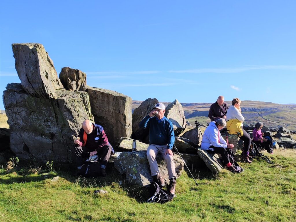
The Norber Erratics are generally considered to be finest example of glacial erratic rocks in Britain. Thanks to an unusual geological phenomenon, many of the dark ancient boulders are balanced, apparently precariously, on white plinths of limestone, forming bizarre and attractive natural sculptures.
These rocks are huge sandstone and slate Silurian boulders that were carried to their current location by a glacial ice sheet. They were deposited on the limestone shelf when the glaciers melted at the end of the last ice age, between 12,000 and 17,000 years ago.
That explains why the boulders are here – but to understand why they are apparently balanced so artfully we need to understand the centuries of erosion that followed, whittling away the more vulnerable limestone except for the protected areas directly below the older Silurian rock, leaving the tough Boulder perching on partially eroded columns of white limestone.

There are more than a hundred such Silurian boulders in the Norber Erratics field, and it’s well worth while spending time wandering round to find the best angles from which to view these strange forms.

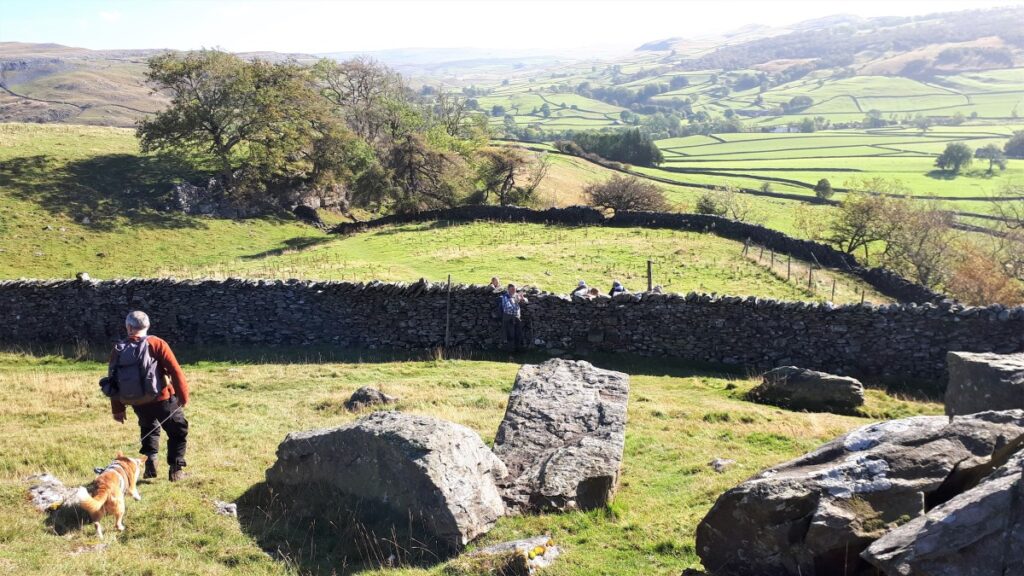
Our route from the Erratics over to The Wash Dubs takes us along the top of Nappa Scars. Finding the path from the Erratics takes a little bit of concentration, as there are so many routes through the boulders – so look for the drystone wall on the East of the Erratics and head downhill until you find the stile – this takes us onto the path across the scar.
The path continues along the front of the scar and is quite narrow – so take care especially if the limestone is wet.
We now head East and gently downhill to a stile which takes us onto Crummack Lane – the continuation of Townhead Lane.
Here we turn left and cross into the opposite field either via the stile or the gate which is just slightly further uphill.
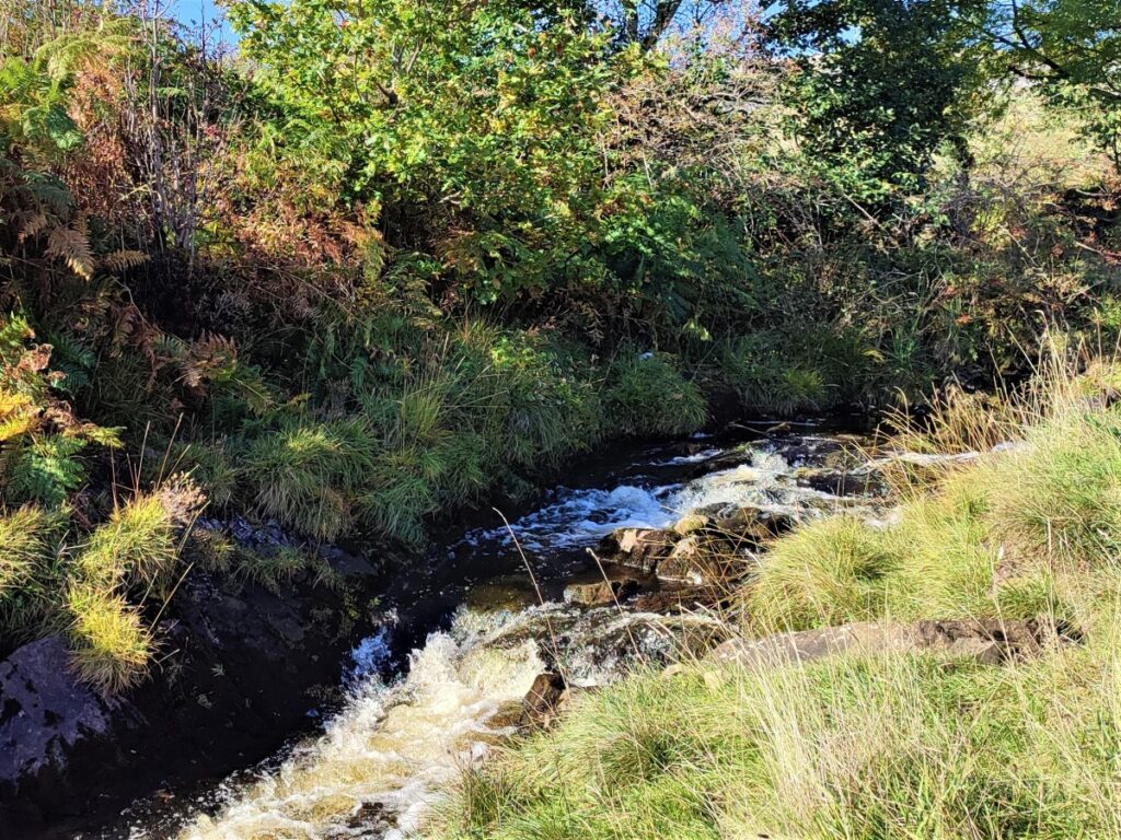
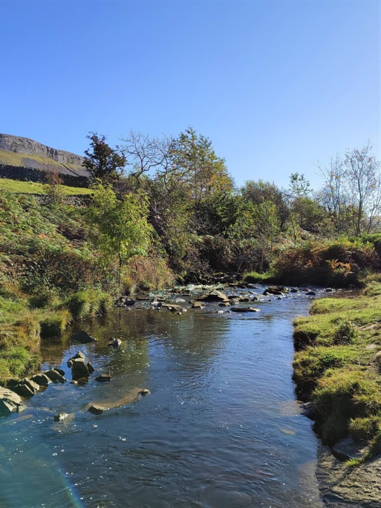
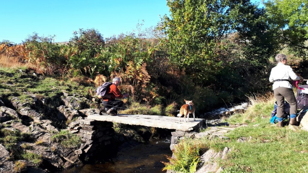
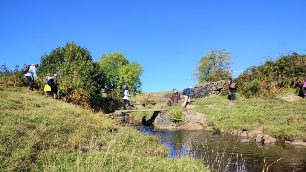
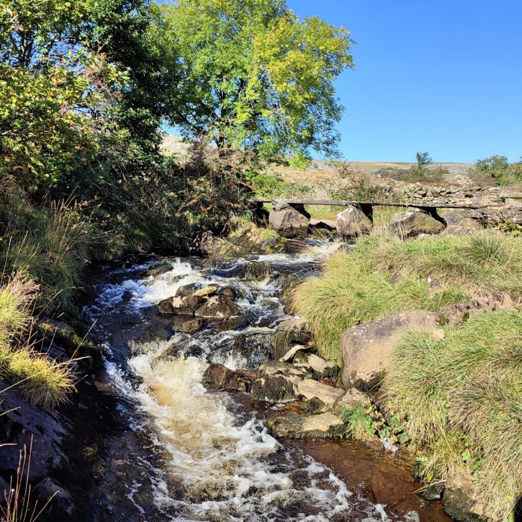
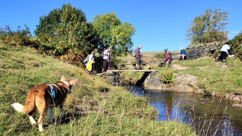
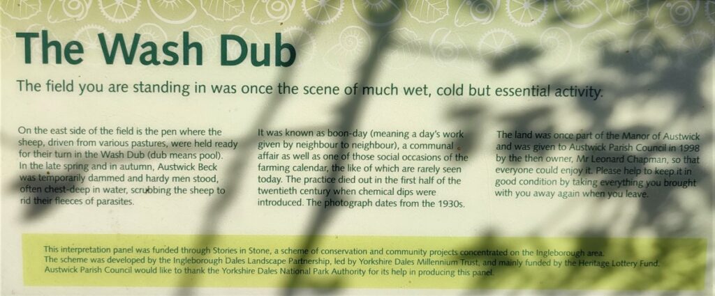
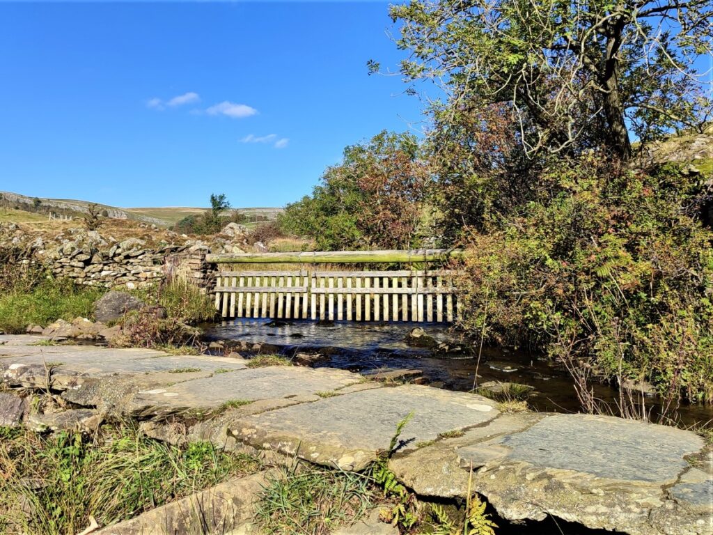
We now head North – in the same general direction as the road but moving steadily further away from it, crossing a couple of fields and a farm track until we start to head downhill to Austwick Beck at the Wash Dubs.
The wash dubs are an interesting agricultural and cultural relic: In the days before chemical sheep dips, sheep had their fleeces ‘salved’ with grease and Stockholm tar to keep parasites at bay. Before the fleece could be clipped and sold for wool production, the resulting mess had to be washed out in order to get a better price. In Austwick, farmers worked together and dammed Austwick Beck in Crummackdale to form a pool or wash dub. The sheep ready for washing were herded into the small stone enclosure nearby.
Austwick wash dub field was given to the Parish Council by the landowner and the enclosure has been restored with Millennium Lottery funding.
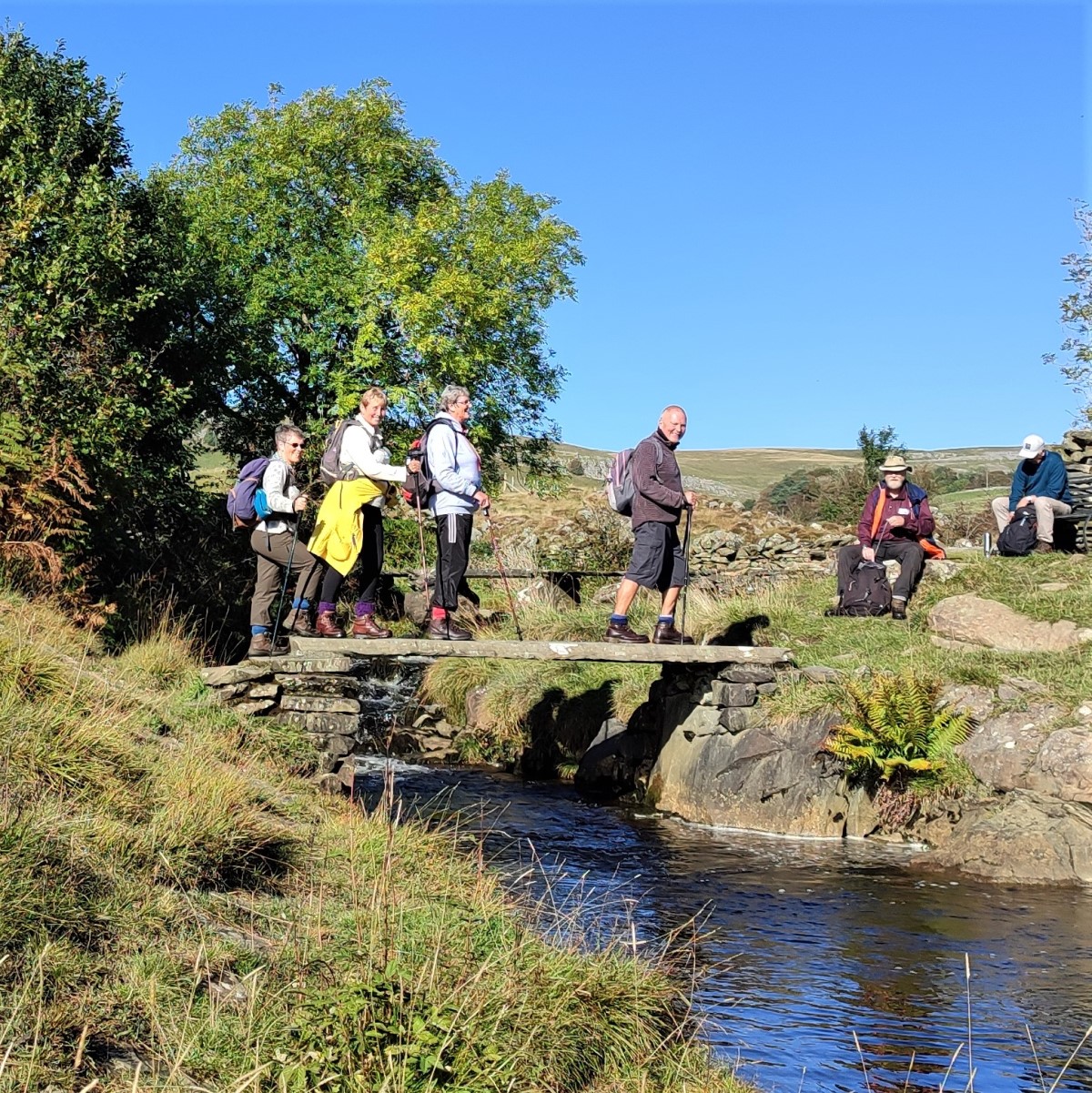
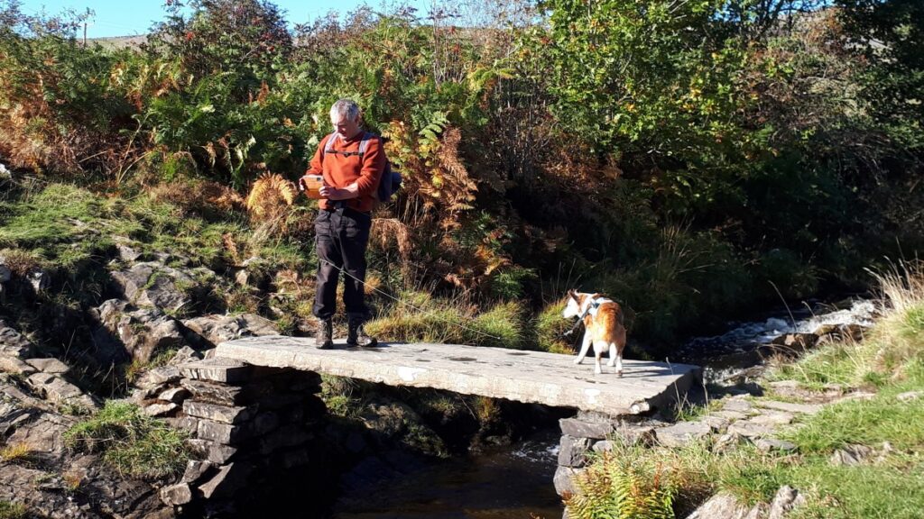
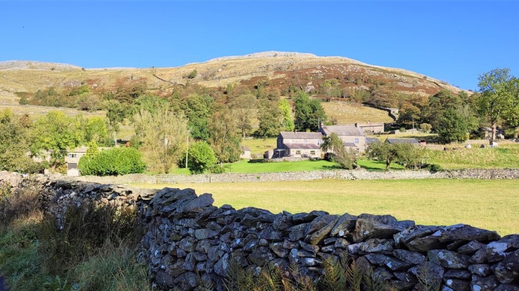
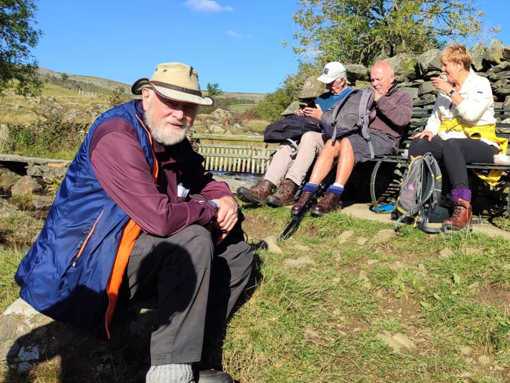
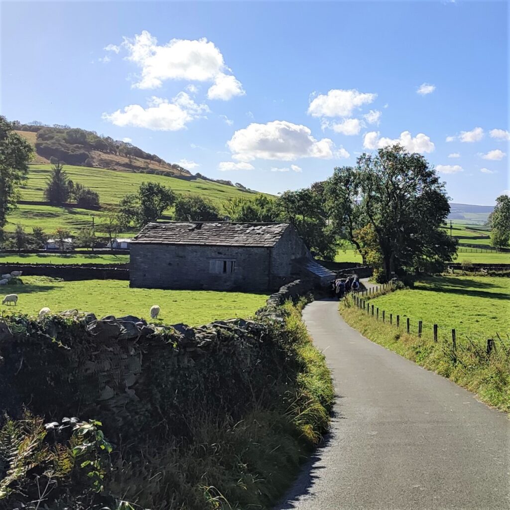
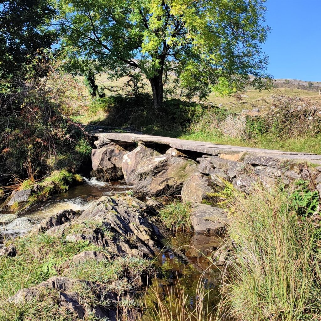
The Wash Dubs are a great place to take a break, and suitably refreshed we cross the stone flag bridge to the North side of Austwick Beck and pick up the bridleway taking us right and downhill into Wharfe, a small and very attractive hamlet of about a dozen houses including a small grade II listed manor house dating from 1715.
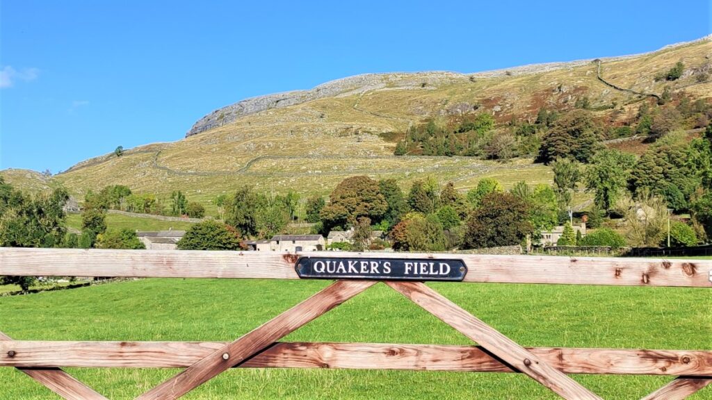
As the bridleway comes down into Wharfe we find ourselves at a crossroads. The Manor house is to the right and is worth taking a brief detour to see, but for this walk, we carry on straight ahead onto a lane which takes us down though fields known as the Quaker fields to the road from Austwick to Horton in Ribblesdale.
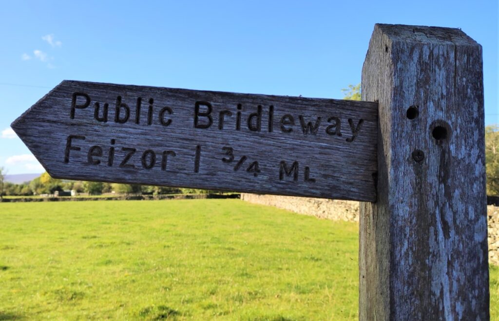
At the road we turn right and walk on the road for a short while looking for a finger post on the left taking us to the bridleway to Feizor.
We follow this, initially up a farm access track before taking a sharp right to head toward Austwick.
This track is Wood Lane, and we follow this all the way back to Austwick where we meet the Graystonber Lane at Austwick Bridge.
Here we turn right to head back up to the village and the end of the walk.
- Total distance 9.5 km (5.9 miles)
- Total ascent 348m
- Easy walk