Jump to . . .Step by Step | OS Map | Downloads | Gallery | Fly through
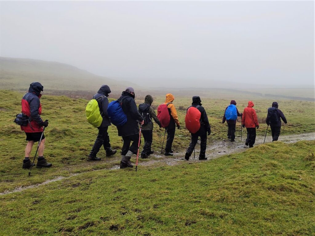
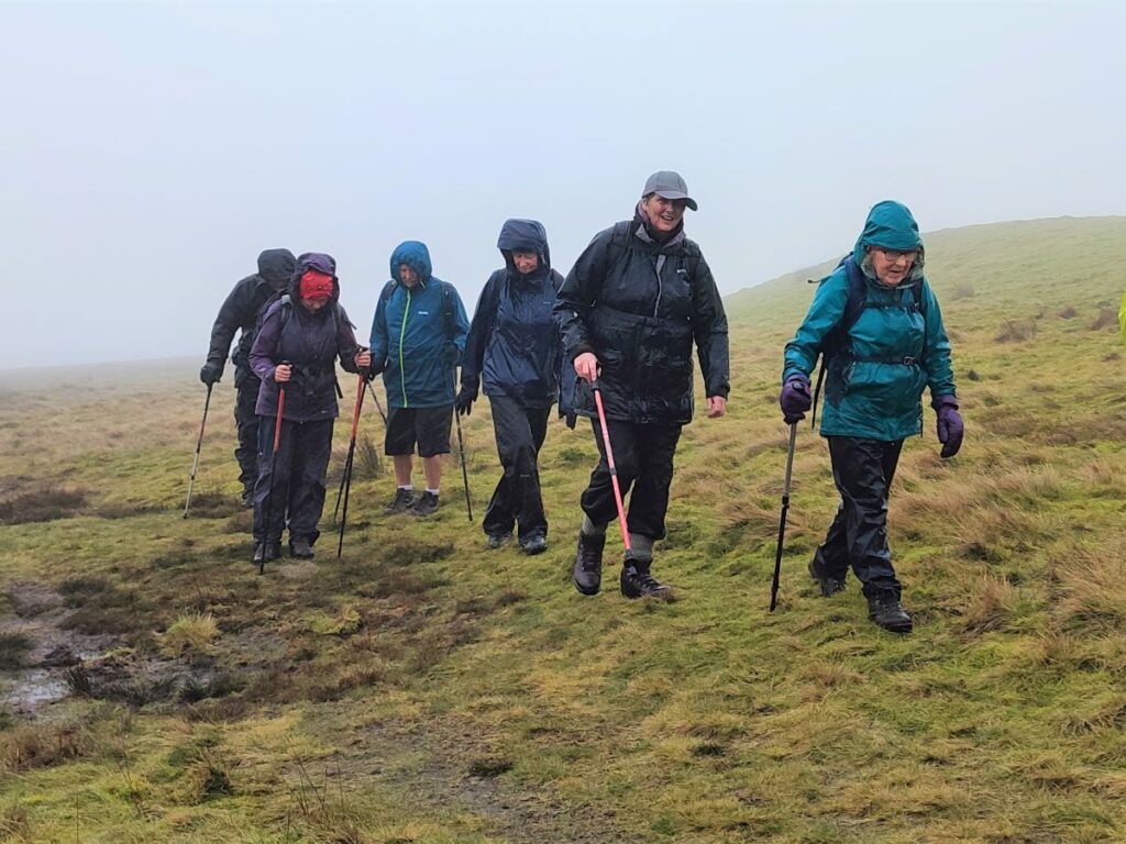
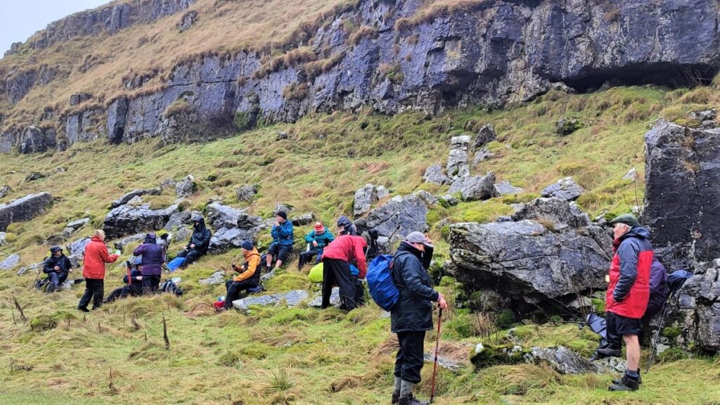
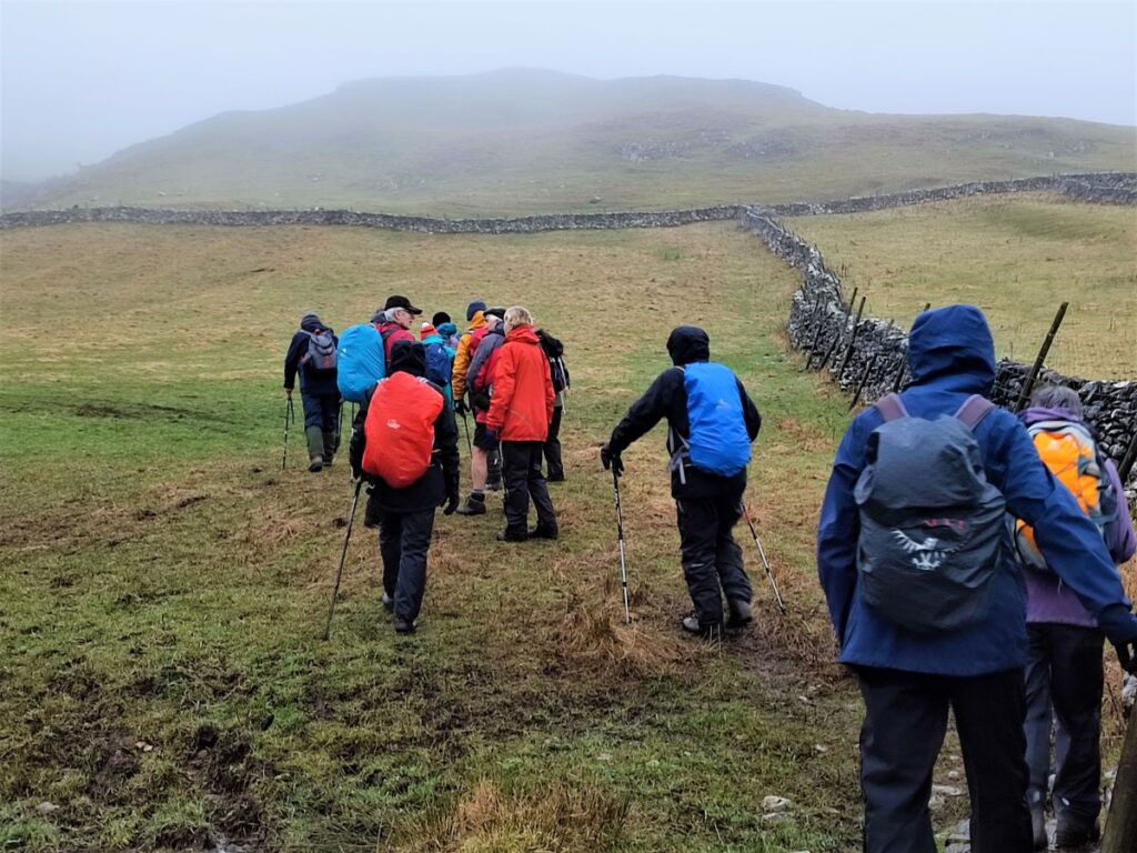
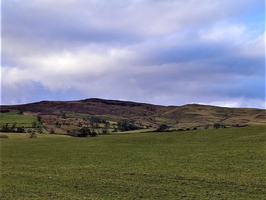
Malham is one of the “honeypot” villages of the Yorkshire Dales – and the use of the Cove as a backdrop for filming “Harry Potter and the Deathly Hallows” has made it even more popular. There’s more to this area than the Cove though – stunning as it is – and if you pick a weekday out of season, you can still enjoy a quiet walk. This moderately challenging walk starts in Malham, with a steep climb up Pikedaw Hill, offering great views back to Malham and over toward Pendle.
We pass Nappa Cross, then head down the spectacular dry valley at Watlowes to the top of the Cove, where we take the Dales Highway path to Goredale Bridge and return to Malham village via the always delightful Janet’s Foss path. We grade the walk as moderate, but be aware that the first section is relentlessly steep, and potentially quite boggy – and that the dry valley requires particular care.
- Total distance 12.6 km (7.8 miles)
- Total ascent 525 m
- Moderate walk
Step-by-Step
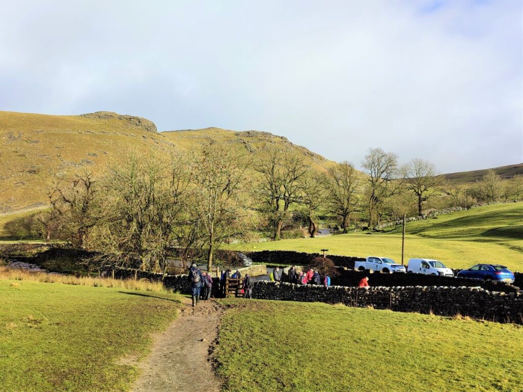
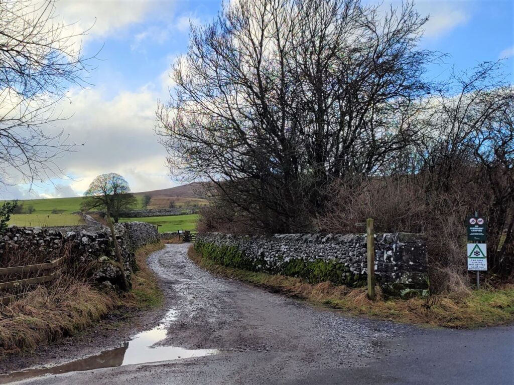
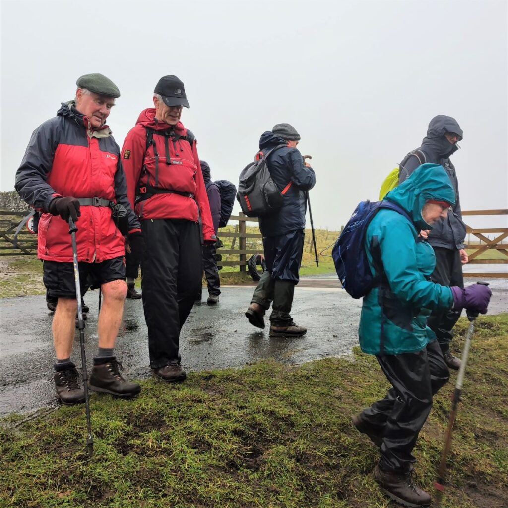
We start at Malham village, parking at either the National Park visitor centre, or on the road just outside – both are chargeable, the former via pay and display, the latter via an honesty box. If you are using satnav to get to Malham, the address and postcode for the National Park centre is Chapel Gate, Malham BD23 4DA. If you prefer what-3-words, the tag for the on-road parking is firelight.scouted.healers. This corresponds to OS grid reference SD90006261 for those who prefer traditional maps.

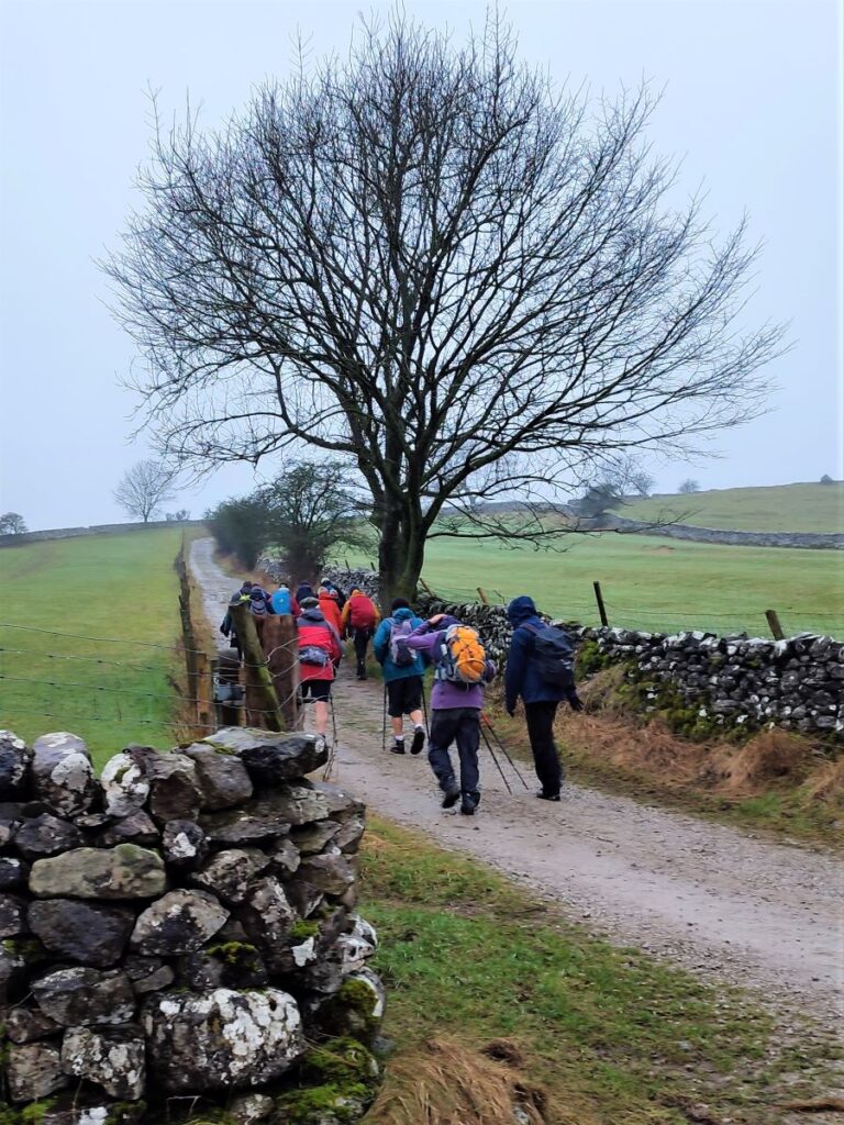
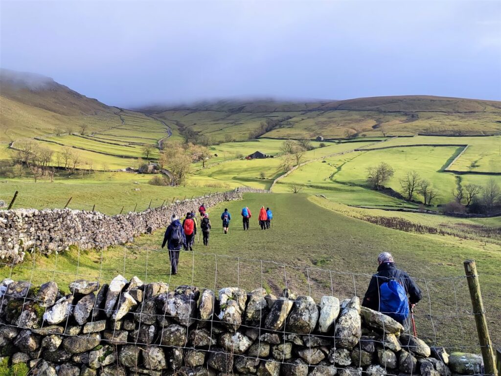
Just in front of the road entrance to the National Park Centre there is a small lane with a footpath sign – we head up here to start. After just a short distance the path branches, and we take the right hand track to walk around the village with views down onto the rear of the houses. The onward route, which we ignored, is worth re-visiting another time as it heads over to Kirby Malham, and can form the basis of a loop back to Malham via Hanlith and the River Aire.
We walk past the car park for the visitor centre and see a minor track on the left, we ignore this, and carry on for a short while until we find a clearer and broader track, called Long Lane, again on the left. We take this uphill toward the water pumping station that serves Malham.
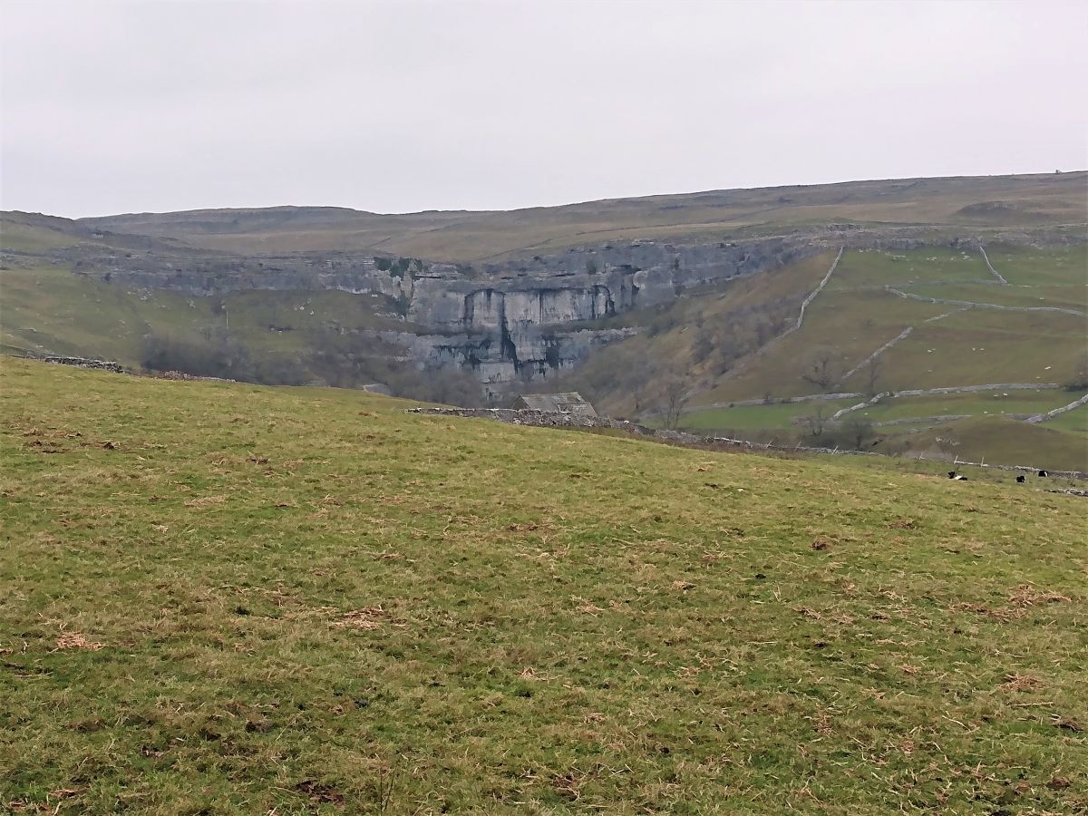
This is a good place to pause because just beyond the pumping station there are good views over toward the Cove – seeing it from this distance underlines just how large the feature is.
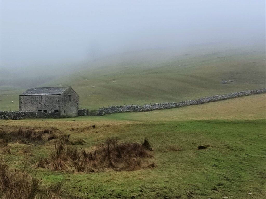
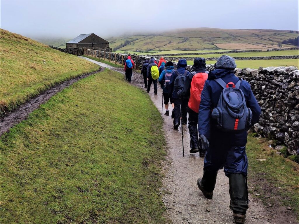
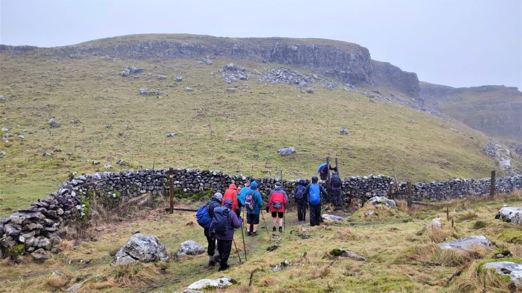
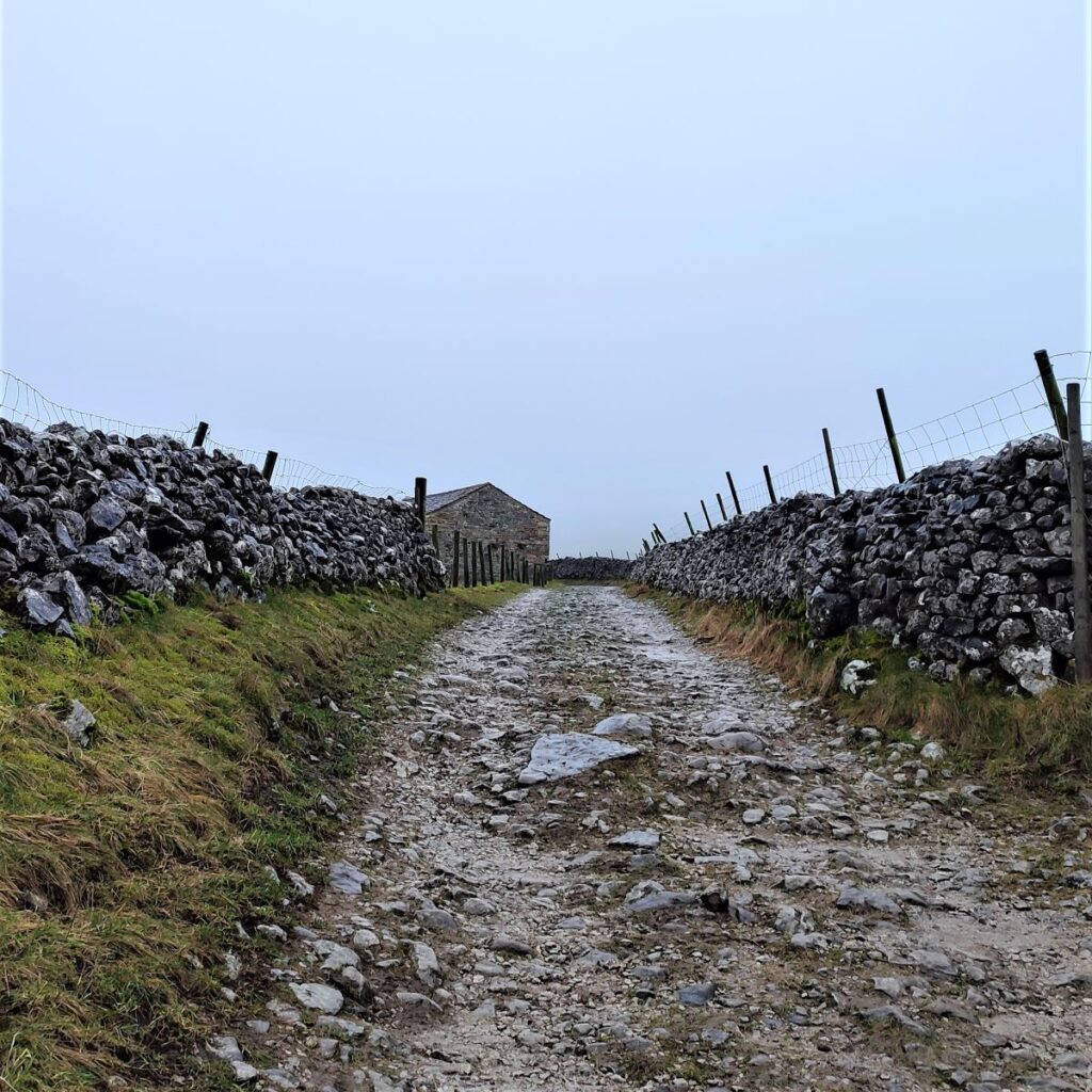
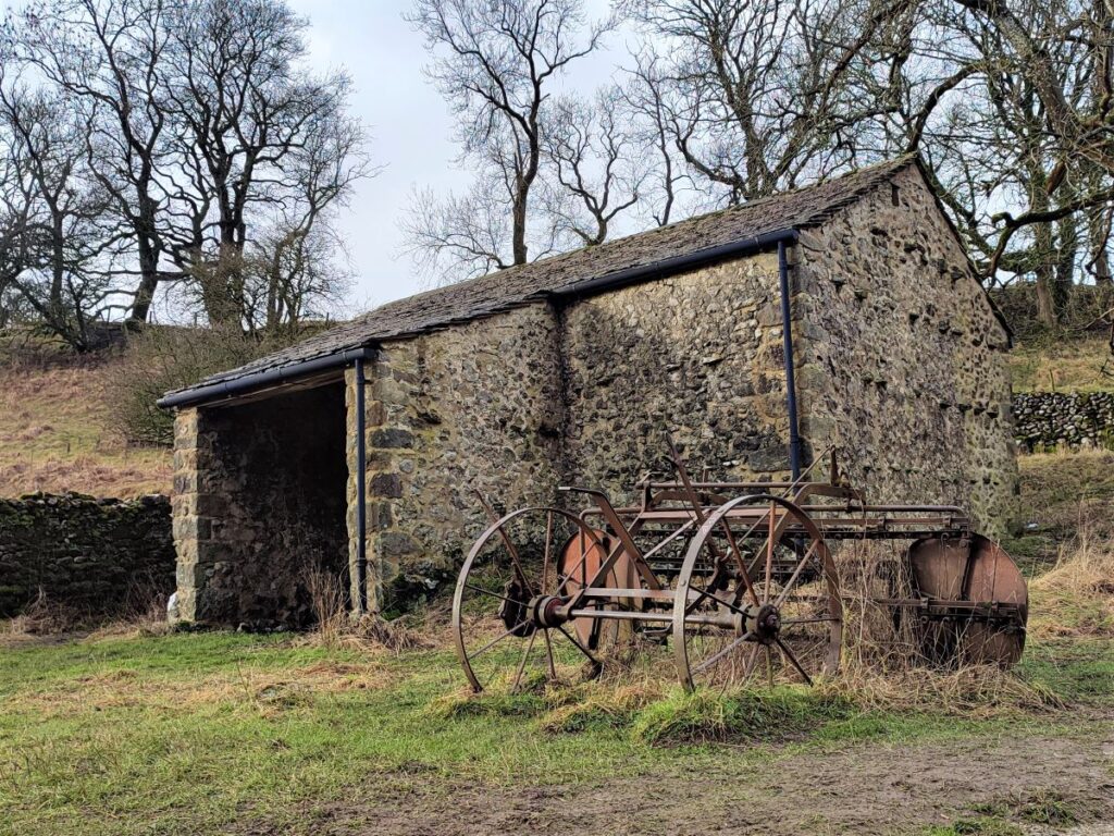
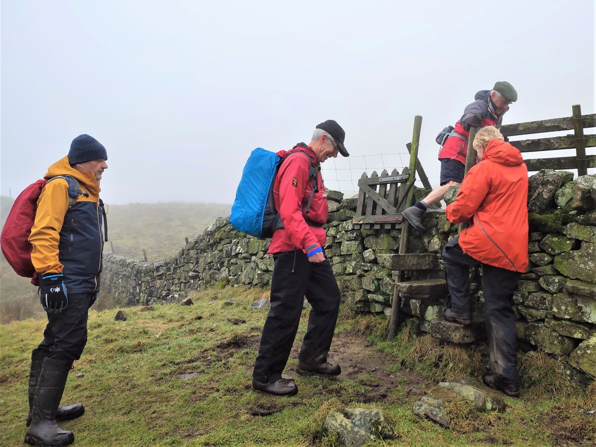
The track branches at the pumping station. The route straight on finds the Cove Road, but we choose the lane on the left which heads Northwest past a series of vary attractive barns: Burns Barn, Field Barns, and finally Great Head Barn are all on the left of the track, and at the last of these we cross a beck via either a ford or a stone slab bridge, to take a stile on the right into the fields.
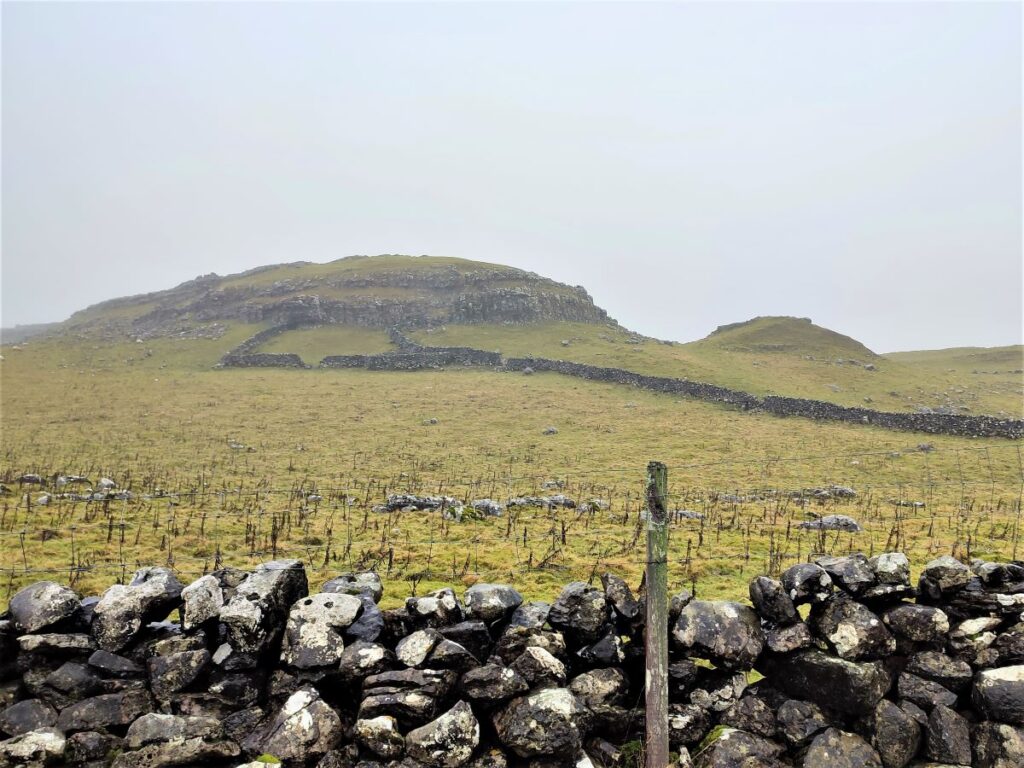
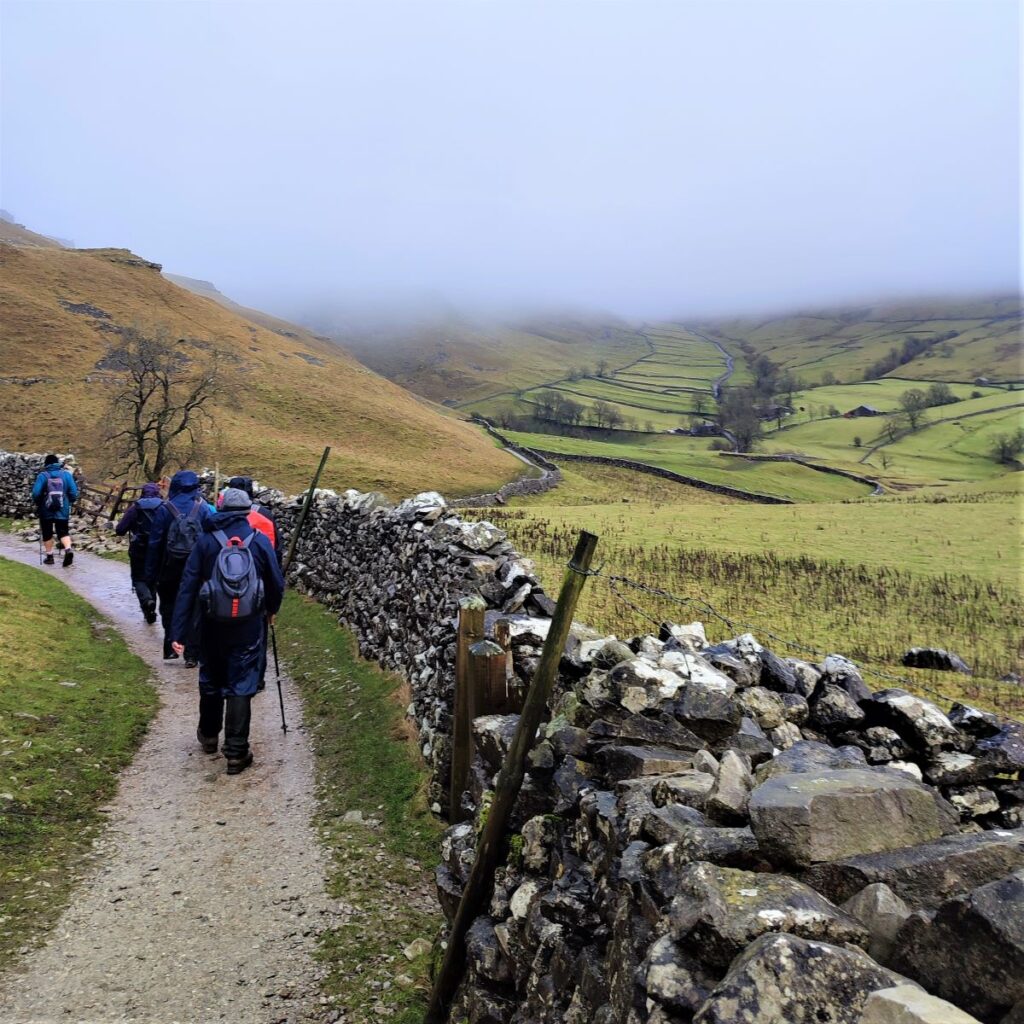
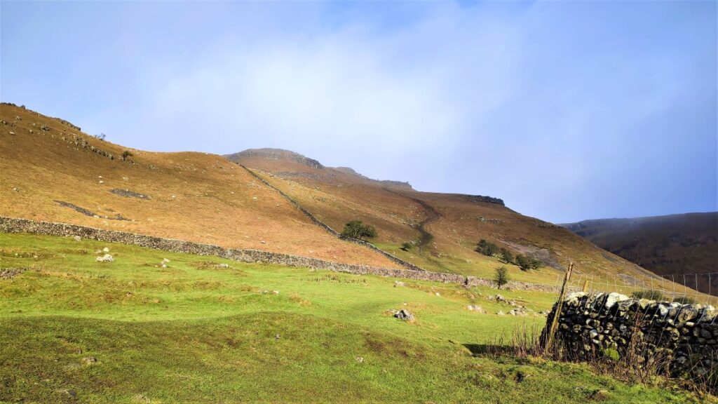
We now see the path head (via a slab bridge over a beck) diagonally across the field to another barn – this is Butterlands Barn, where there is a stile taking us into the final flattish field before we start a steep climb up the valley between Pikedaw Hill (on our right) and Kirkby Fell (on our left).
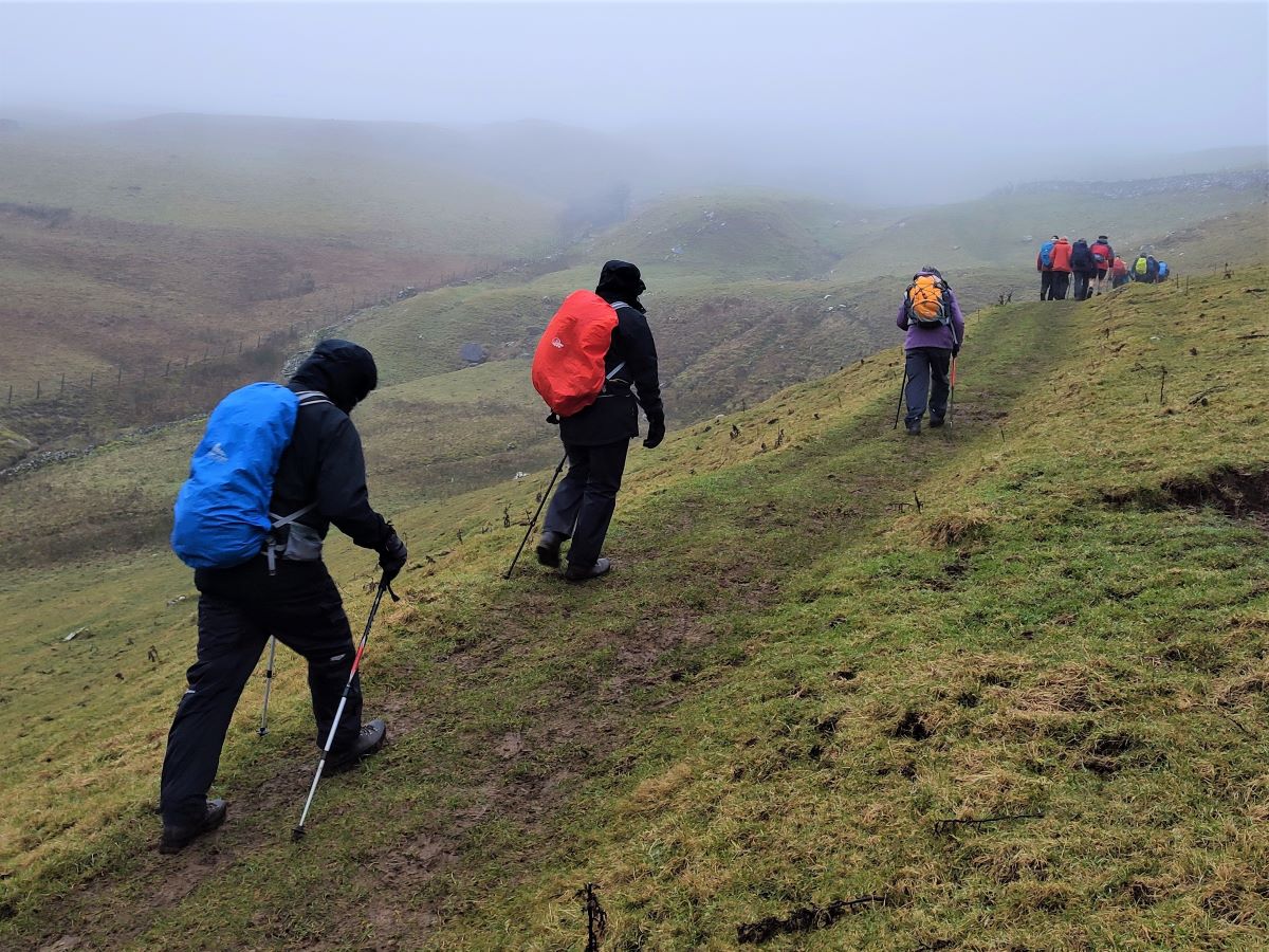
For the most part, the path remains clear, but there are a number of places where it becomes indistinct – so as a general strategy aim to be in the midline between the hills on either side.
As it happens, this route pretty well coincides with the line of the Mid Craven Fault, a break in the earth’s rock crust where one rock type meets another. In this case, dark gritstone contrasting with the paler Great Scar Limestone.
As we continue upward, we cross a stile, and then meet a particularly steep rocky outcrop where the route shown on the OS map goes to the right of the ridge which sits in front of us. This route is viable, but we found it easier to walk further to the left and to walk round the contours as we gently climb – the path is clearer this way indicating that most people do this.
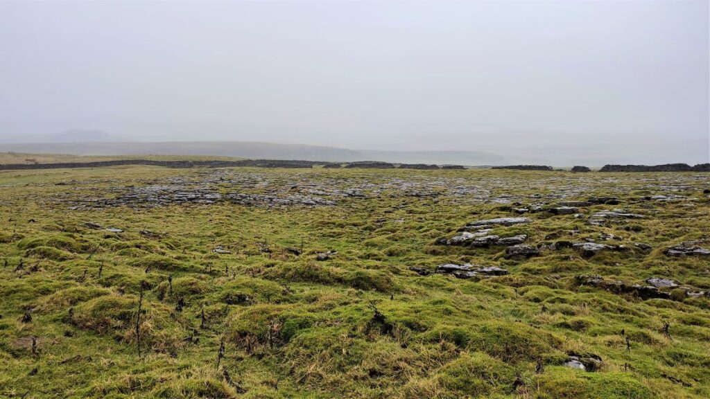
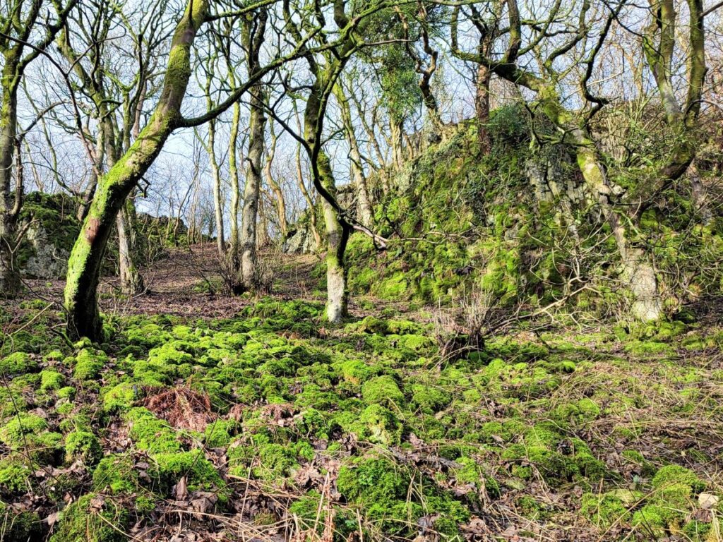
After a while, the path levels off, and we see a small tarn ahead of us to the left, and beyond this a gate in the drystone wall – we head toward the gate.

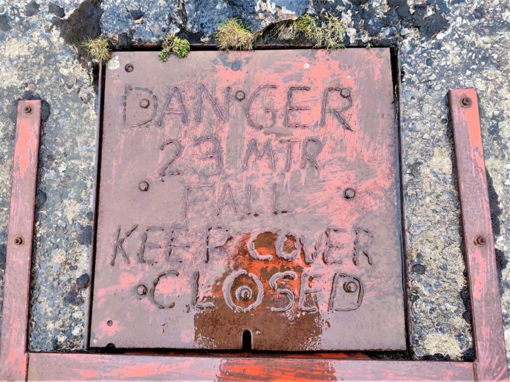
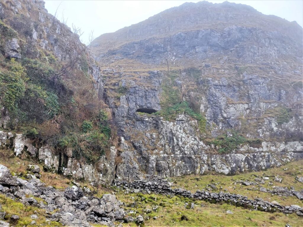
The tarn is largely man-made, at least in the sense that there is an earthen dam at one end to make it deeper than it would naturally be. This work was undertaken to support washing of ores that were mined in this area, and to see a sense of those past mines, we need to look to the right of the path to the gate where we find a locked cover with a dire warning of enclosed dangers: This is the access point for what was once a Calamine mine pit.
Malham was never an important mining area, but like many areas in the Dales, small scale lead mining has historically taken place. Lead is known to have been taken from veins on the hills near Malham Tarn (a mile or so to the North of this point). At Pikedaw though, the mineral being won was Calamine the traditional name for what geologists now call Smithsonite or Zinc Carbonate, ZnCO3. In the late 1790s a rich vein of unusually pure calamine was discovered in-filling a series of natural caverns. This mineral, which was for brass making, was mined for a short period (no more than 10 years) until the seam became exhausted and the mines closed.
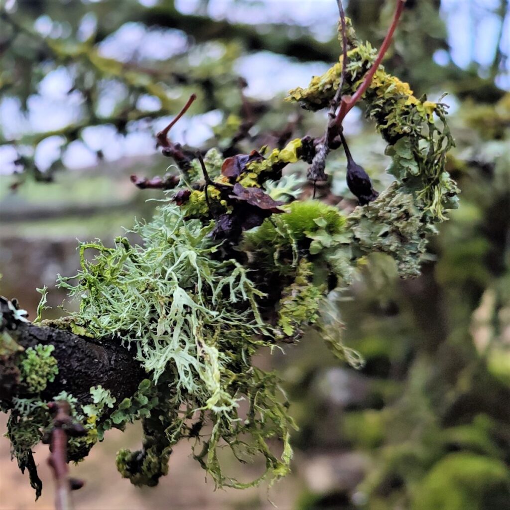
Other ores were also found within the calamine – notably barytes, malachite, and azurite, but these were not concentrated enough to make recovery viable, so they were discarded as spoil at the washing operations at the small tarn. Digging around in the ground surrounding the tarn easily yields egg sized crystals of these three minerals – in white, green and blue respectively.
At the gate in the drystone wall we turn right to pick up the Dales Highway, and just ahead of us at this point is Nappa Cross, a Medieval Way Marker that was used as a navigational point by labourers working for Fountains Abbey to the North.
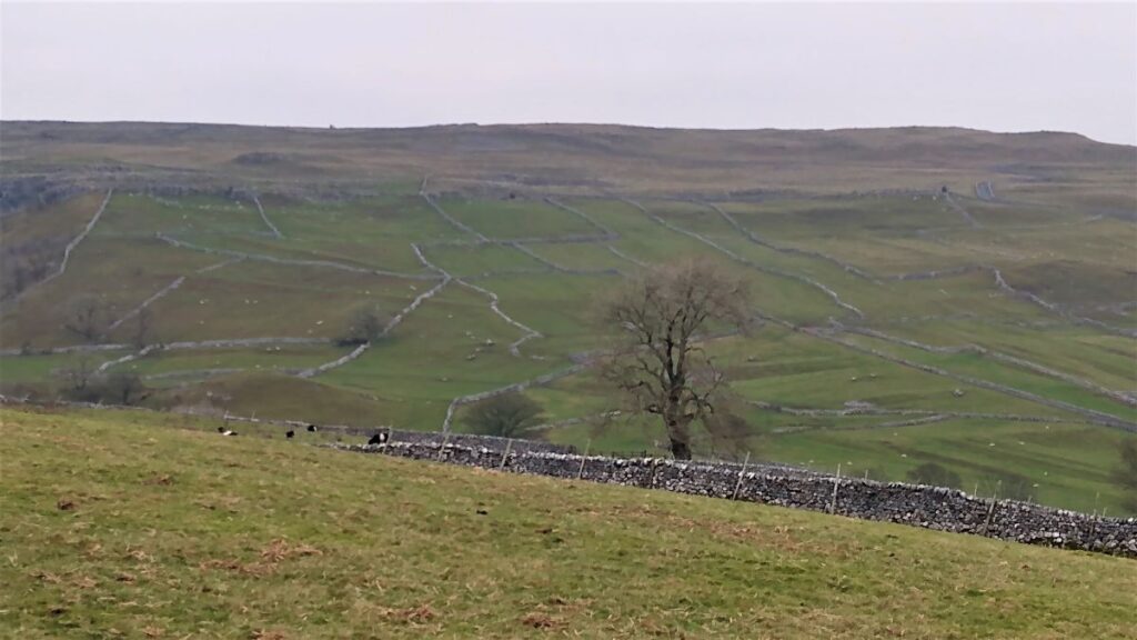
From here, depending on the weather, we get a good view of Malham Tarn. The lake is one of only eight upland alkaline lakes in Europe. The site is currently owned by the National Trust, who used to lease part of the site to the Field Studies Council, but they closed their field centre in 2022. The tarn is believed to be the inspiration for Charles Kingsley’s 1863 novel The Water-Babies, A Fairy Tale for a Land Baby.
This walk does not visit Malham Tarn, but it’s worth noting that at the top of the dry valley later in the walk it would be easy to add a diversion to the tarn.
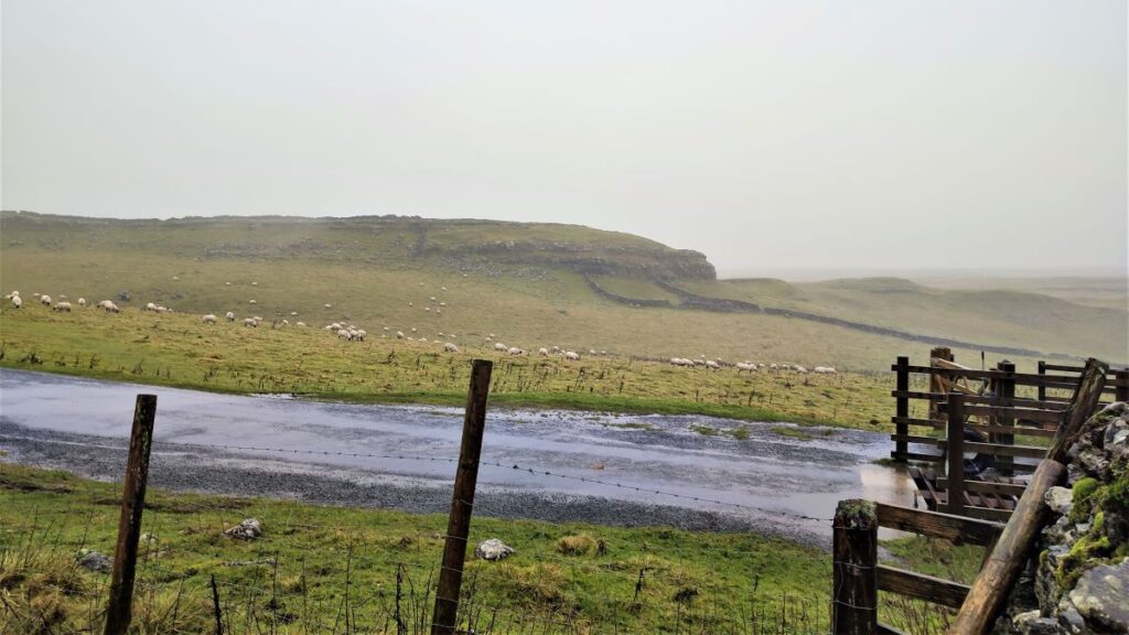
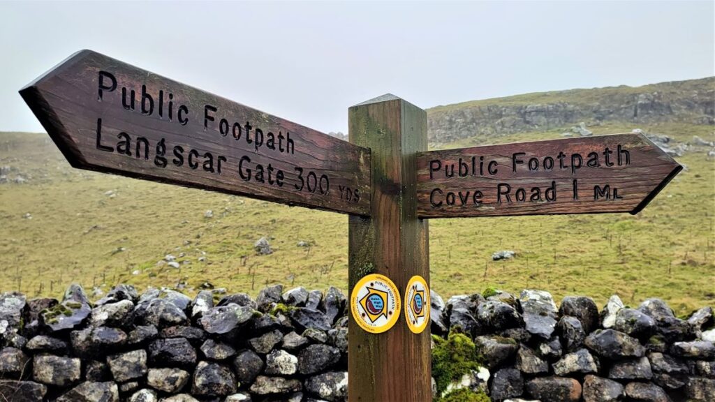
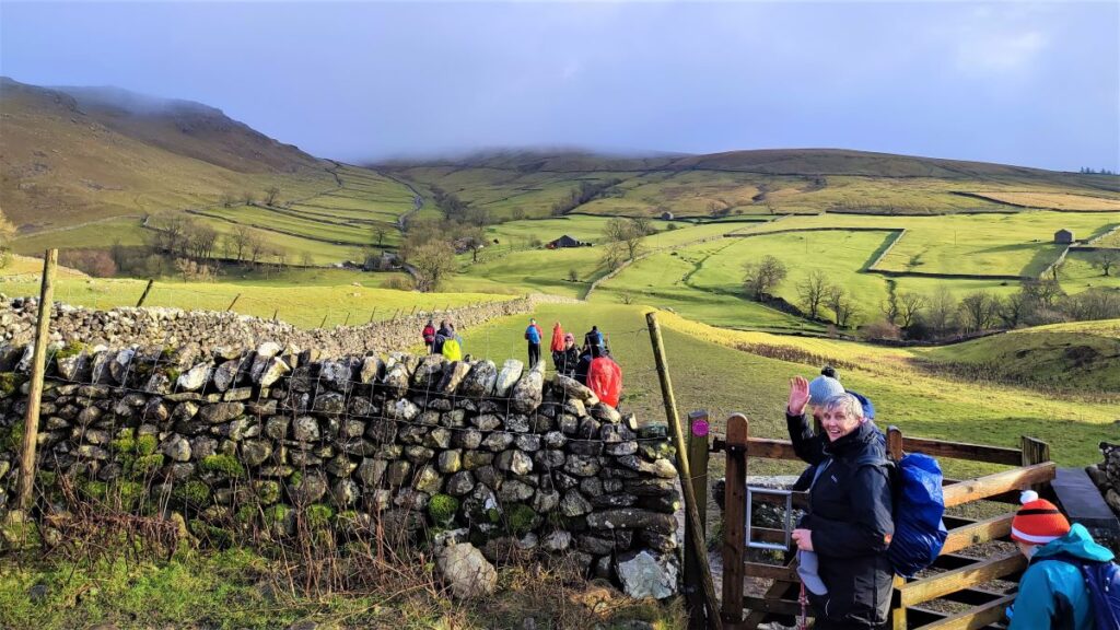
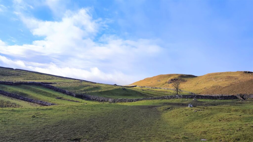
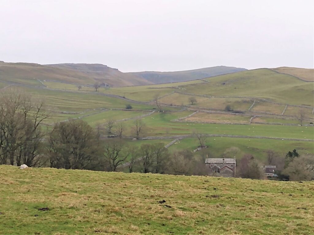
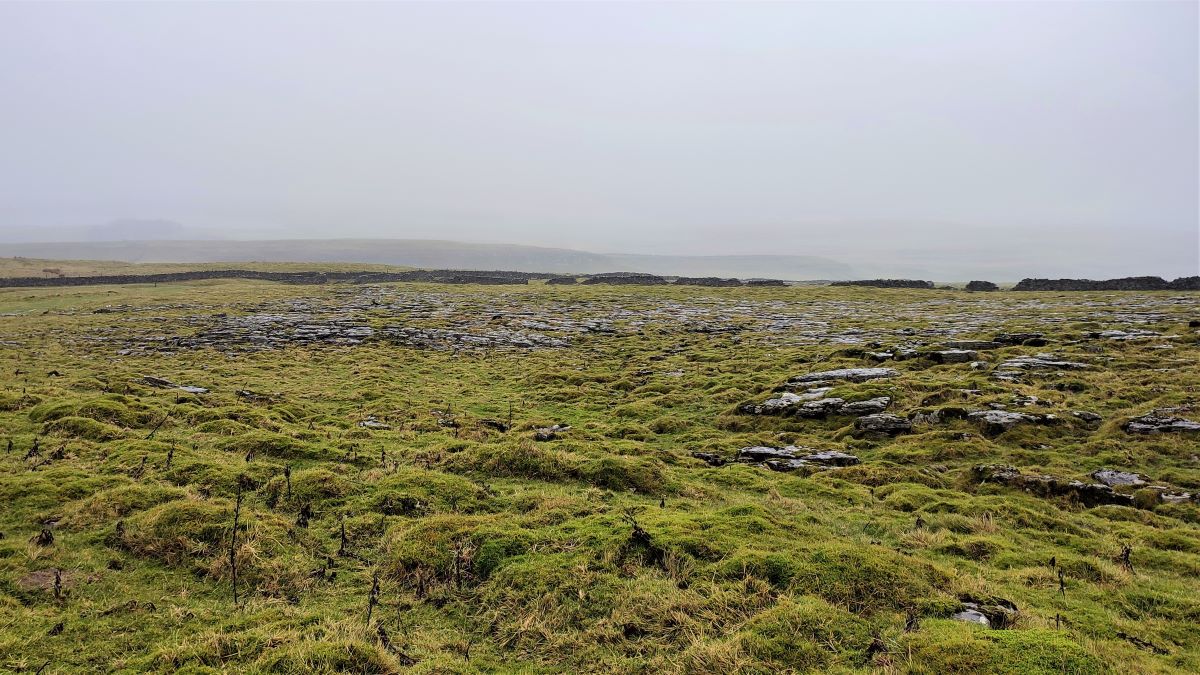
We follow the path, gently downhill, past an outcrop of limestone pavement, to meet a broad track which crosses our path at what is in effect an off-set T junction. We go right and continue downhill until we get to the minor road that links the village of Malham with the Tarn – we are now at Langscar gate.
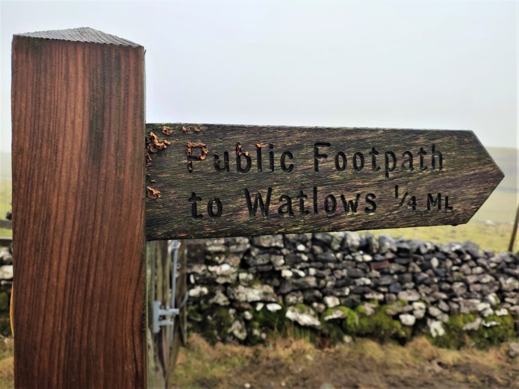
Our walk continues across the road and along the side of the drystone wall (which we keep on our left), but if you wanted to visit the Tarn, then there are a couple of paths you might choose – one from Langscar gate, the second from the top of Watlowes Dry Valley – both are signposted.
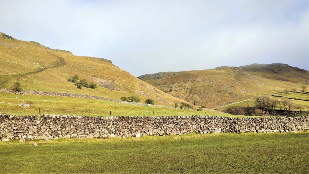
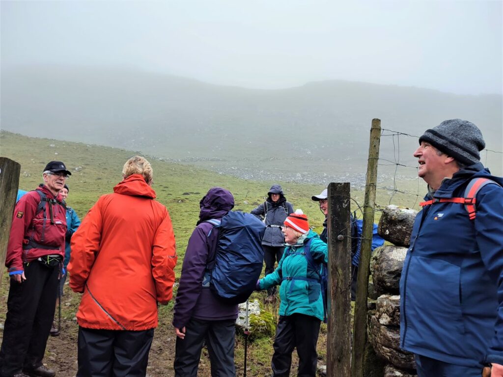
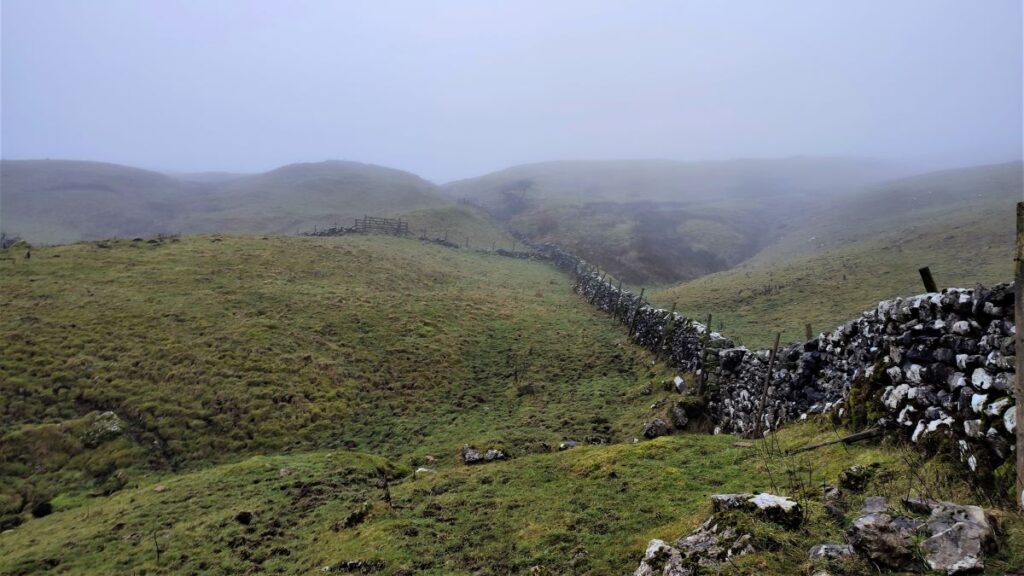
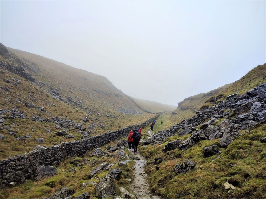
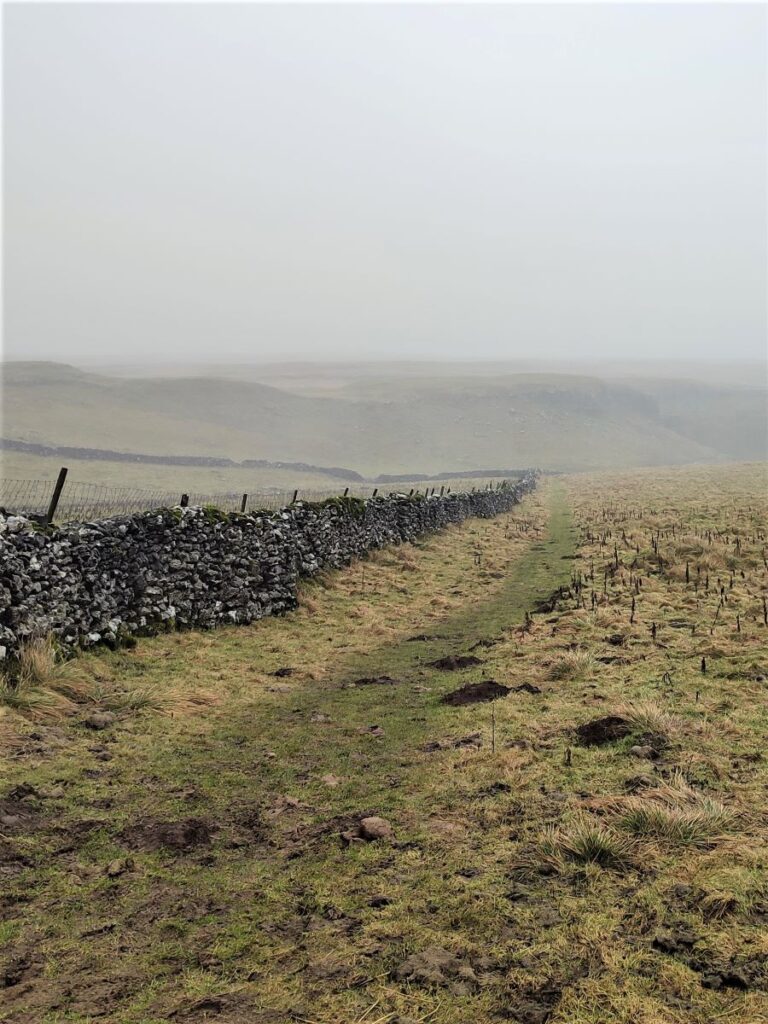
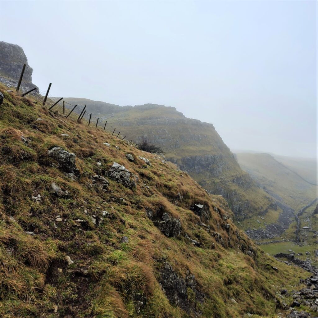
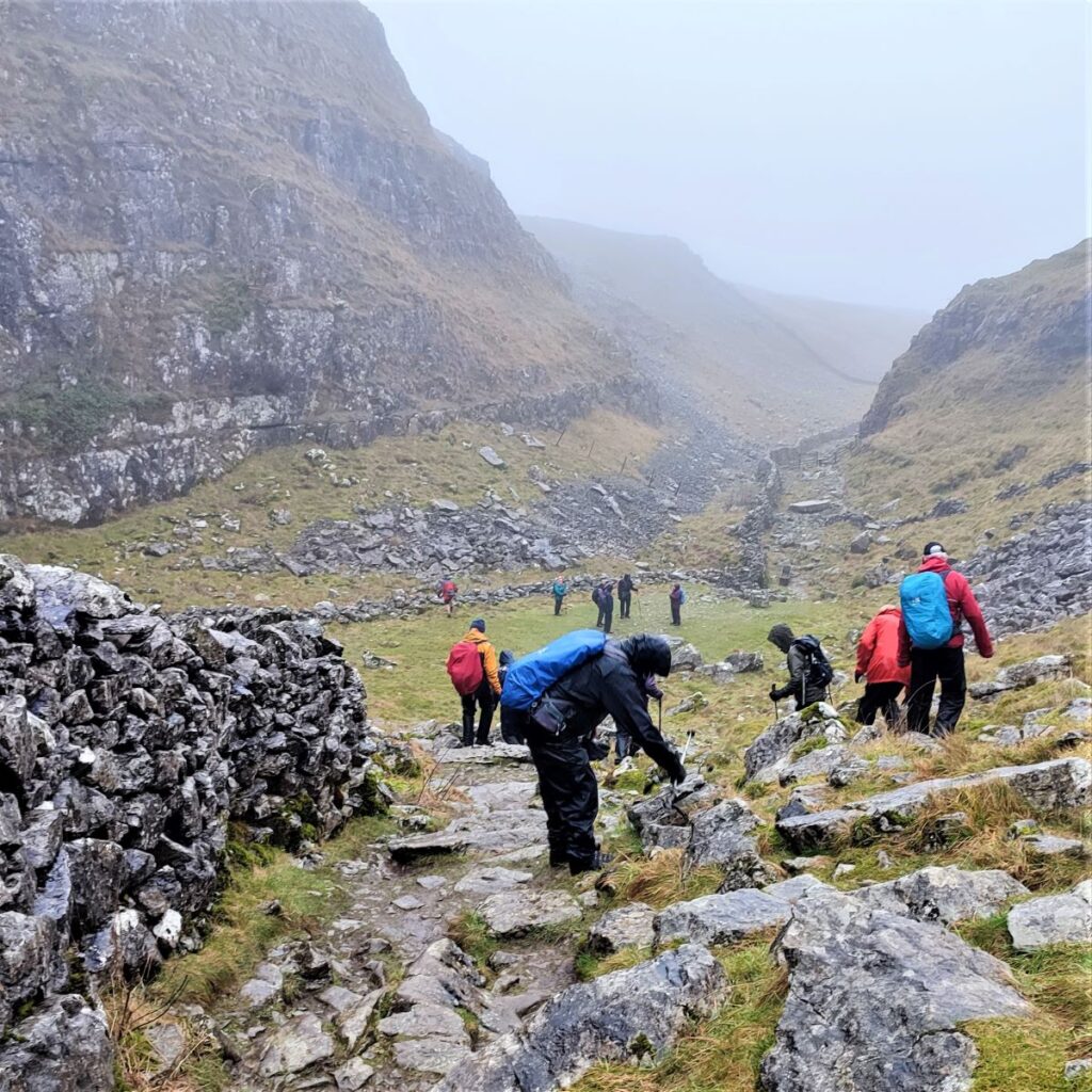
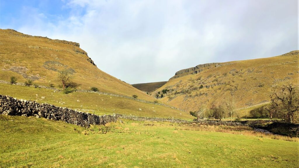
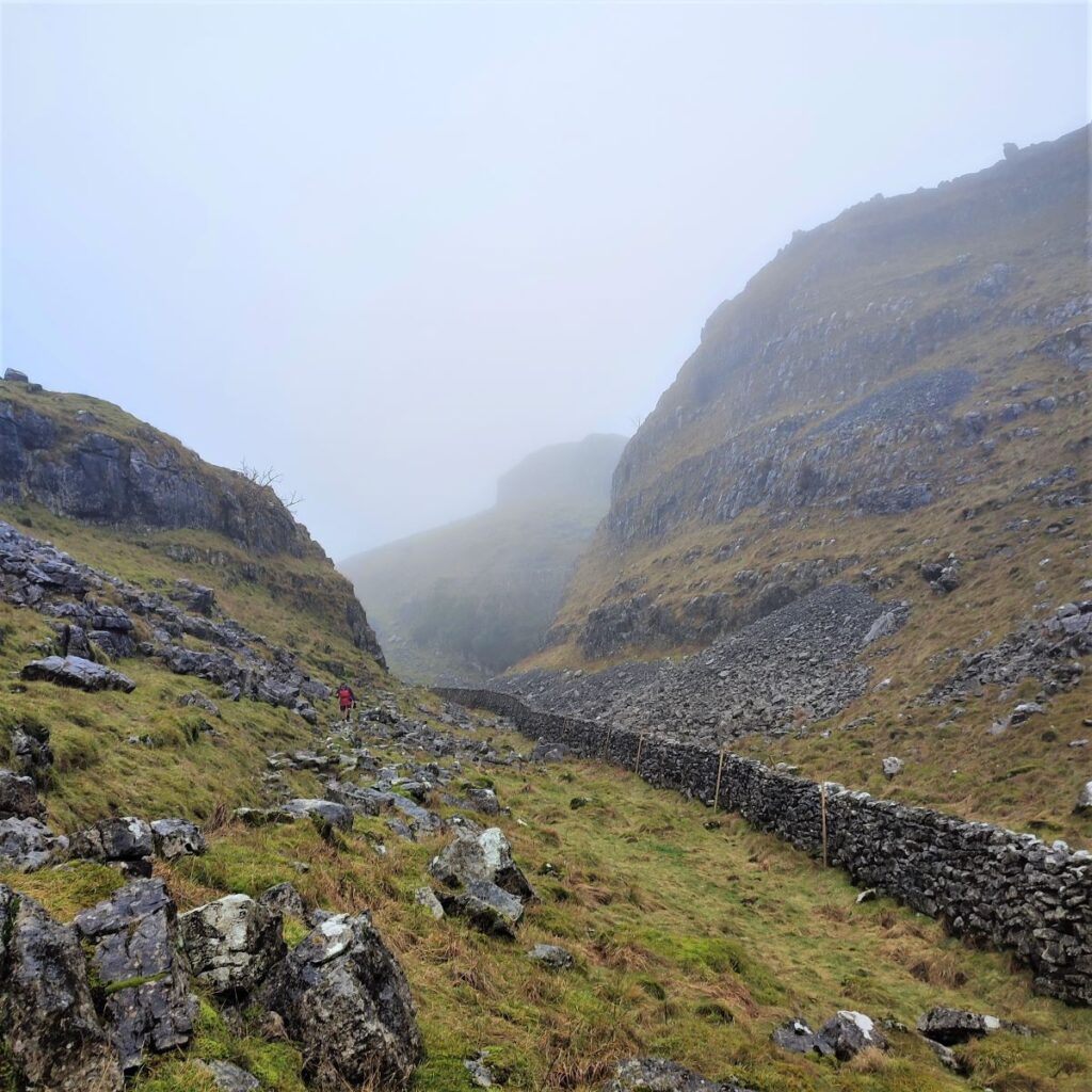
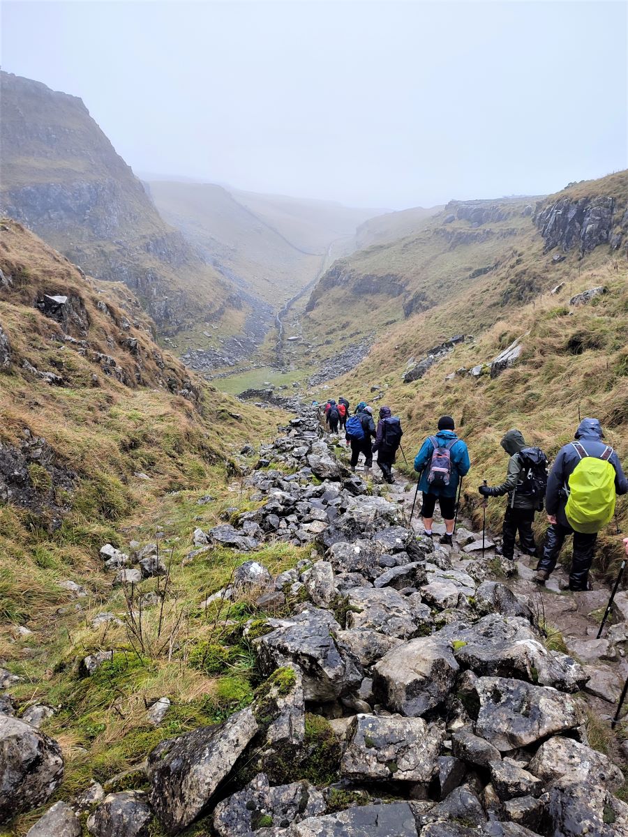
We continue along the wall until we get to a large ladder style which accesses the top of the dry valley. From here, the going is steep and rocky – the polished surfaces of the limestone can be slippery when wet, so take care.
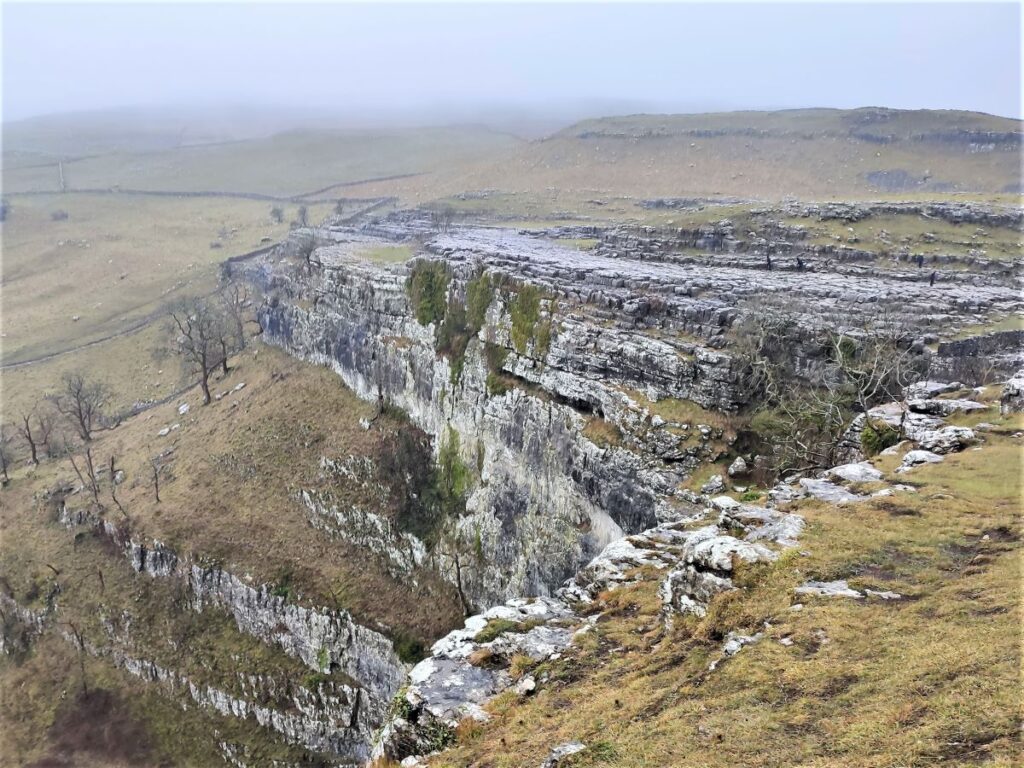
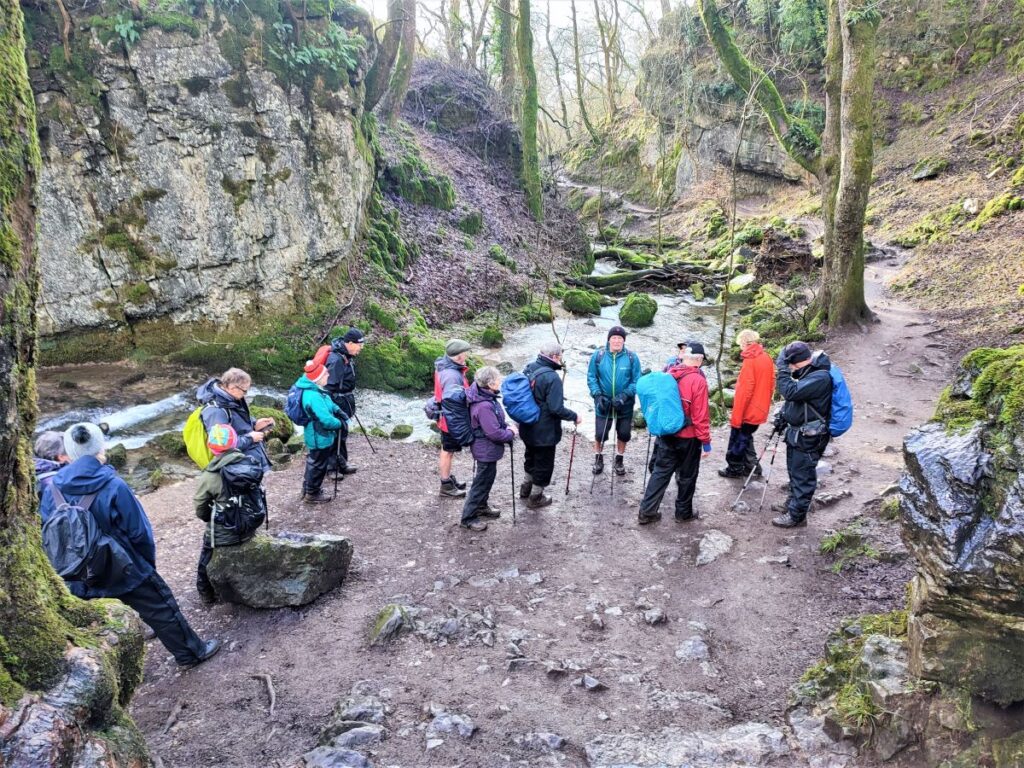
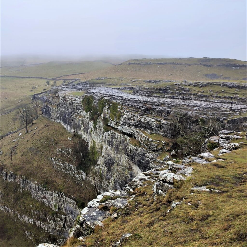
This deep limestone canyon is alternately known as the Dry Valley, or Watlowes Valley, with the “e” seemingly optional. Whatever underground route the many becks of Malham Moor may now take, the Watlowes was almost certainly carved out by the glacial overspill from Malham Tarn flowing to what was once England’s highest waterfall at Malham Cove. The valley is now “dry” in the sense that there is no stream present, but the huge flows in the past have left a dramatic legacy of impressive limestone features, with caverns, erratics, and exposed and weathered rock.
In December 2015 heavy rains from “Storm Desmond” caused widespread flooding in the Yorkshire Dales, and there were extraordinary scenes as waters once again flowed through the Watlowes to reach Malham Cove where a spectacular waterfall developed. Video of this can be seen by clicking here
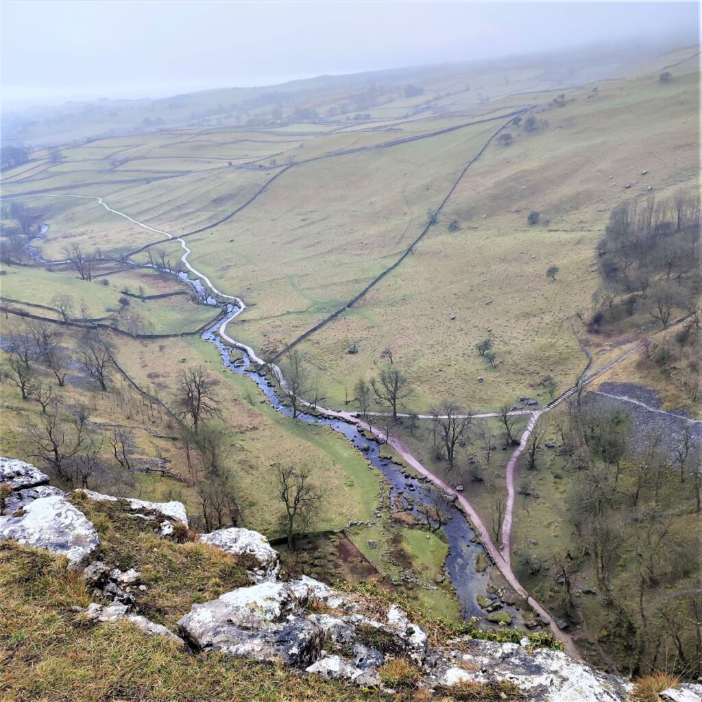
The path through the valley is clear, even if it is rather hard work, and we follow it down, steeply at first, until we reach a flatter section where we approach the top of the cove.

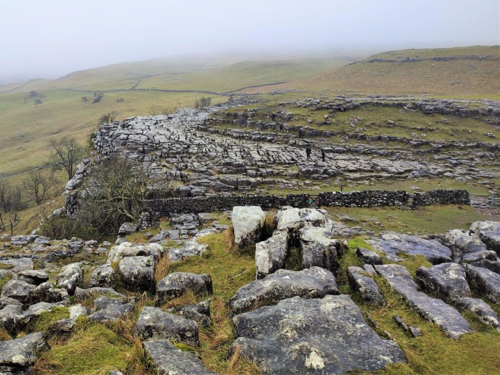
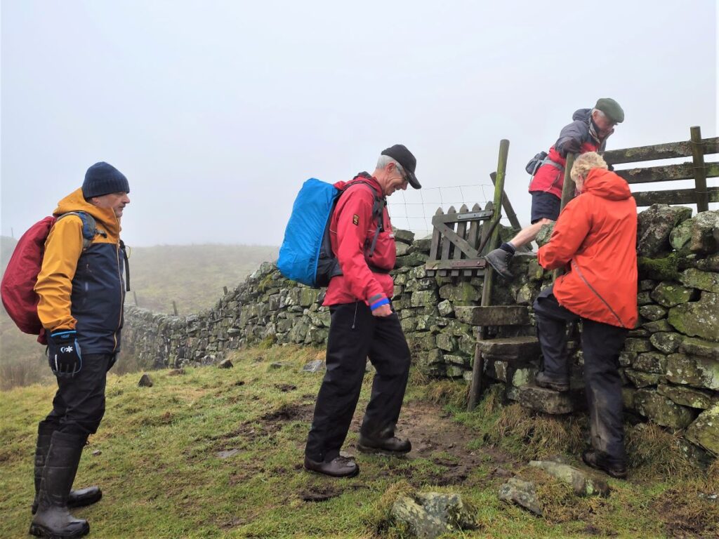
We cross a drystone wall at one of two stiles – the pairing of stiles here is necessary to cope with the large number of visitors during the peak of the season, and ahead of us we now see the limestone pavement for which the cove is famous. The traditional route up to the top of the cove, and therefore a route directly back to Malham should you prefer, is to the right along the pavement at the top of the cove and then down steps to the river valley below.
We would never take the obvious route, so we head left and through a gate where we climb to gain great views of the Cove and the valley bottom from Sheriff Hill. The broad path we are now on takes us down to a minor road at a ladder stile – we cross and continue on the far side via a gate to take the Dales Highway down to Gordale Bridge.
The bridge sits across Gordale beck, which in turn flows down from Goredale Scar, another of the Jewels of the Yorkshire Dales. Like Malham Cove, this impressive natural feature was formed on the Middle Craven Fault. Unlike the broad expanse of the Cove, however, the torrents of glacial meltwater that flowed over it cut down through faults in the rock. Successive Ice Ages have repeated this process, carving it deeper and deeper over thousands of years to create the spectacular deep gorge we see today.
The water that flows over the waterfalls at the heart of the ravine is rich in dissolved limestone. This has precipitated out onto the mossy rocks to create the soft velvety tufa screen that is such a feature at Gordale, hints of which can also be seen at Janet’s Foss.
This walk does not include Goredale Scar, but it would be easy to add it by turning left at Goredale bridge and taking the well signed accessible path.
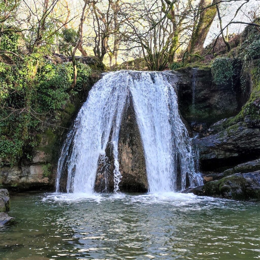
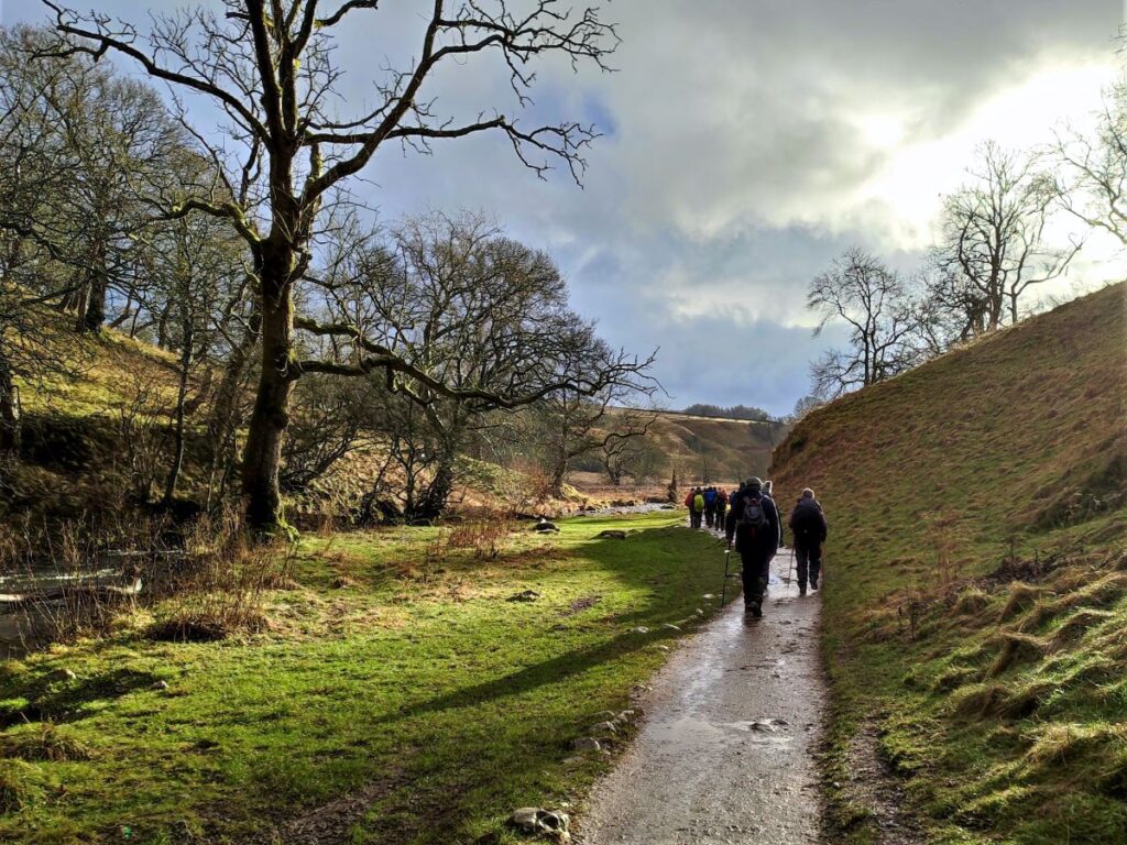
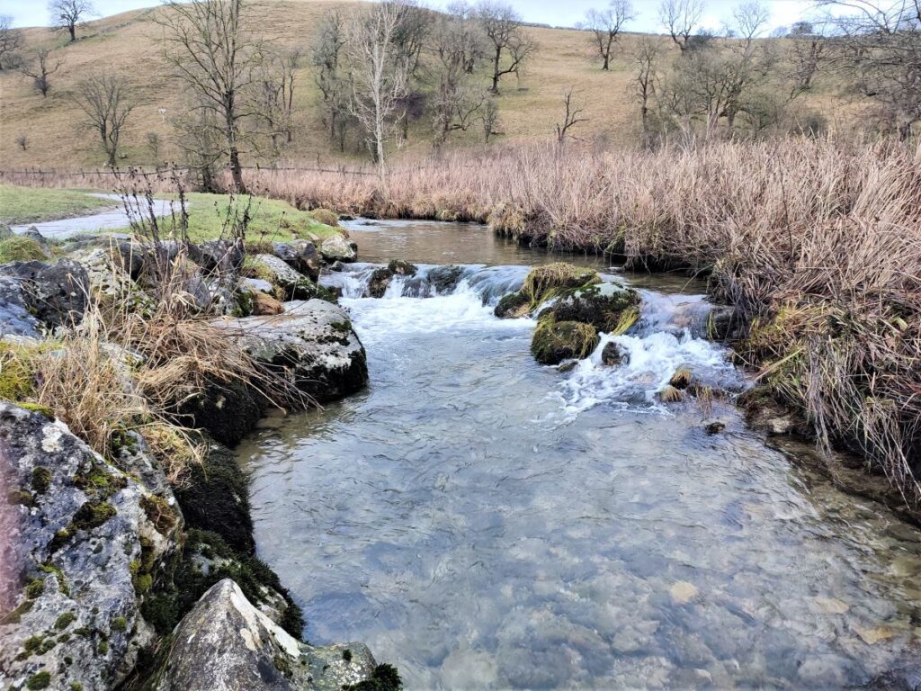
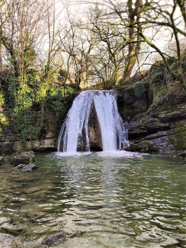
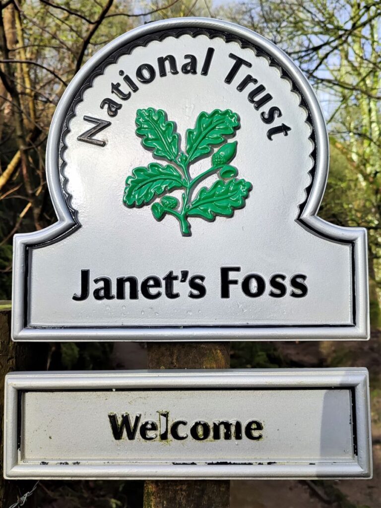
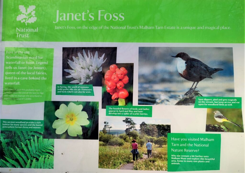
We go right, and head down the road back toward Malham. Almost immediately though we see a fingerpost on the left showing us the path to Janet’s Foss, we take this, and clamber down a number of large stone steps to find the Foss – a waterfall emptying into an attractive pool often used for wild swimming.
The pool was traditionally used for sheep dipping, in much the same way as the wash dubs at Austwick, as visited in this BFG walk
The name Janet (sometimes shown as Jennet) is believed to refer to a fairy queen reputed to inhabit a cave at the rear of the fall, whilst Foss is a Nordic word for waterfall, still used in Scandinavia, and also present in a number of cases in England as ‘force’ – for example, the nearby Scaleber Force, as seen in this BFG walk.

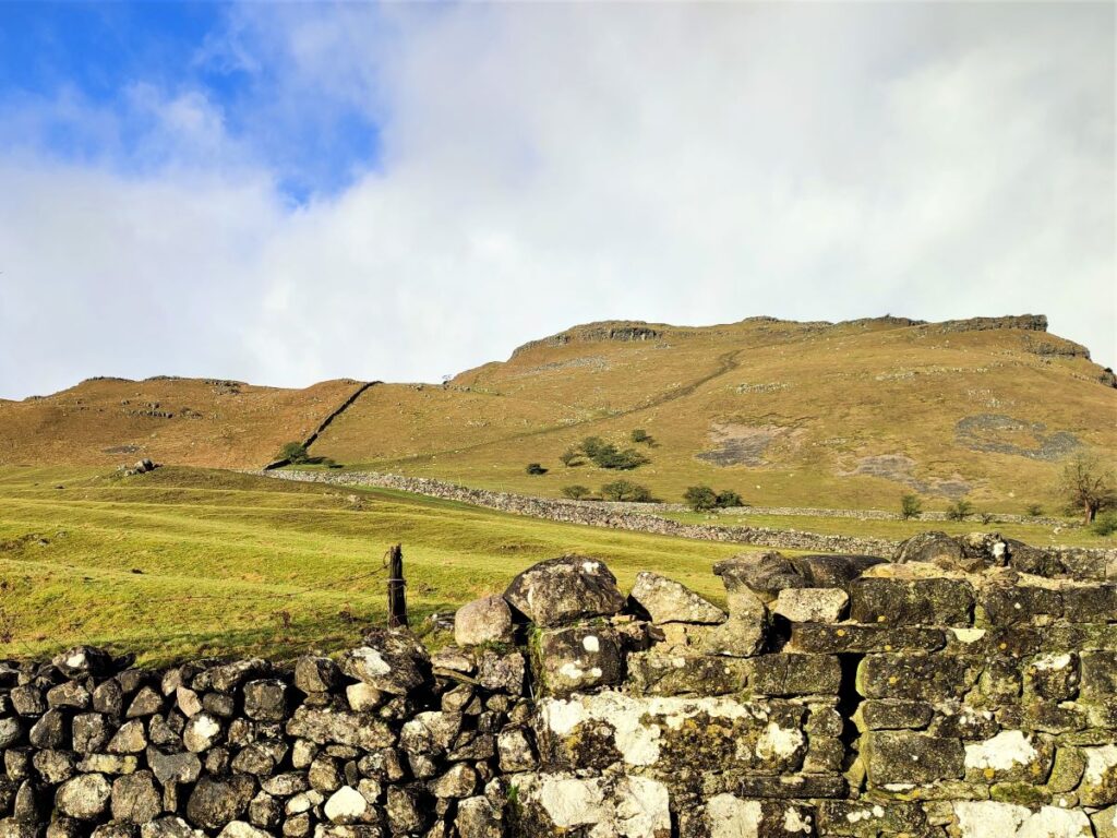
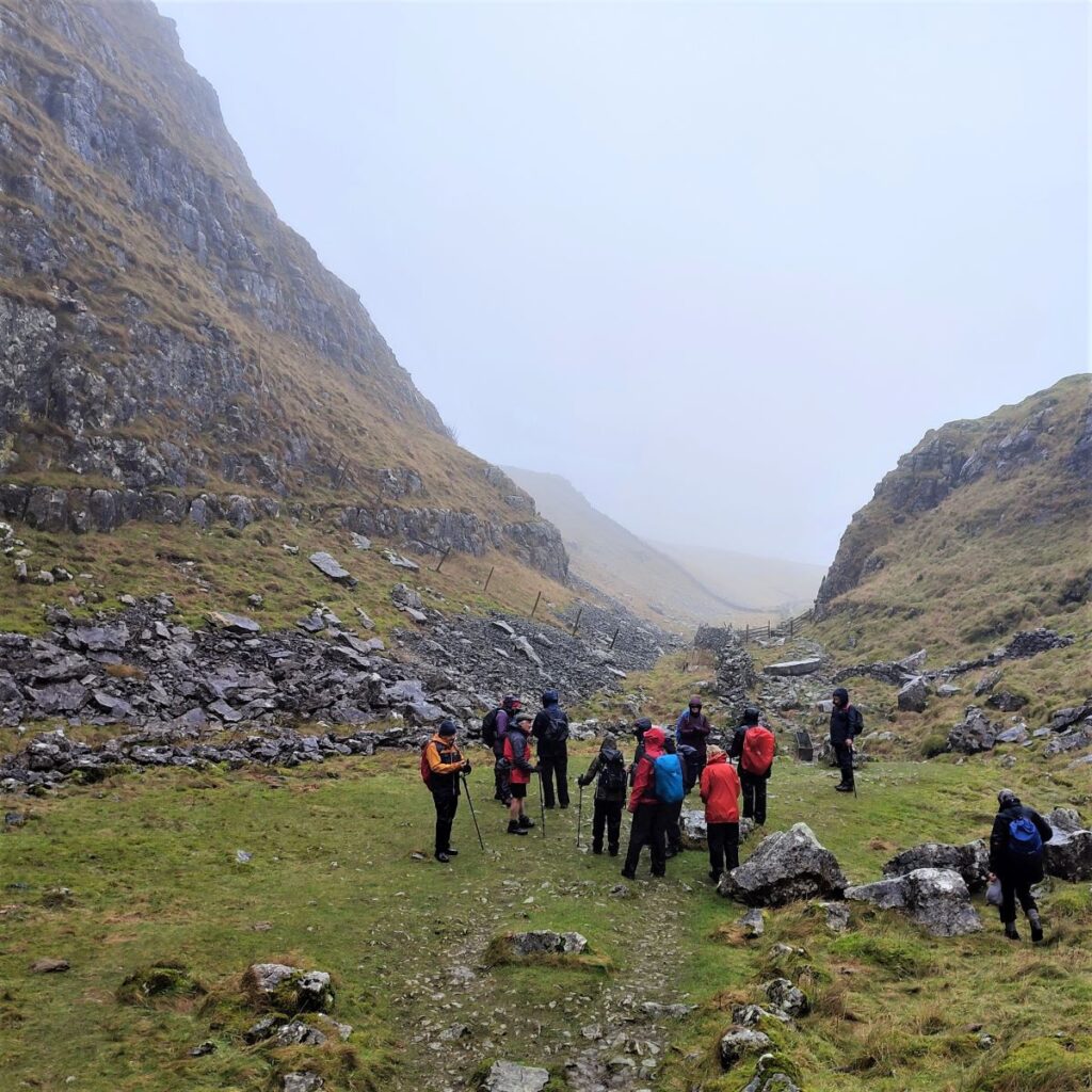
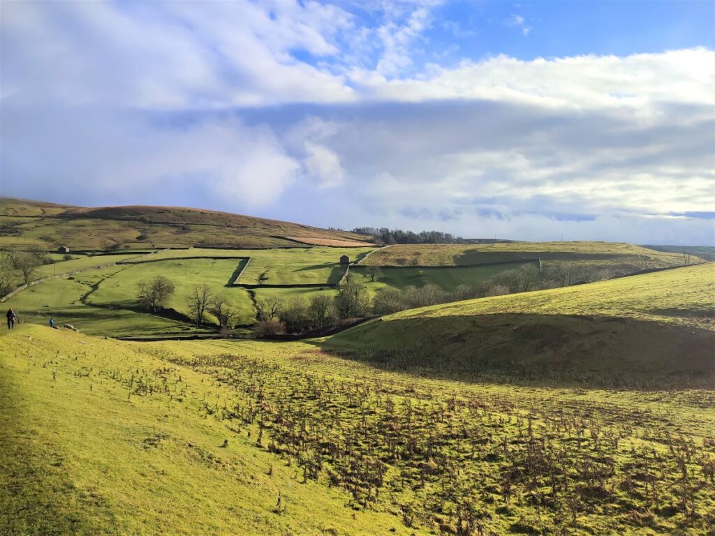
The path continues down the valley with the Goredale Beck on our left until we arrive at a flat open area where we get long distance views of the Pikedaw Hill and Kirkby Fell that we climbed at the start of the day.
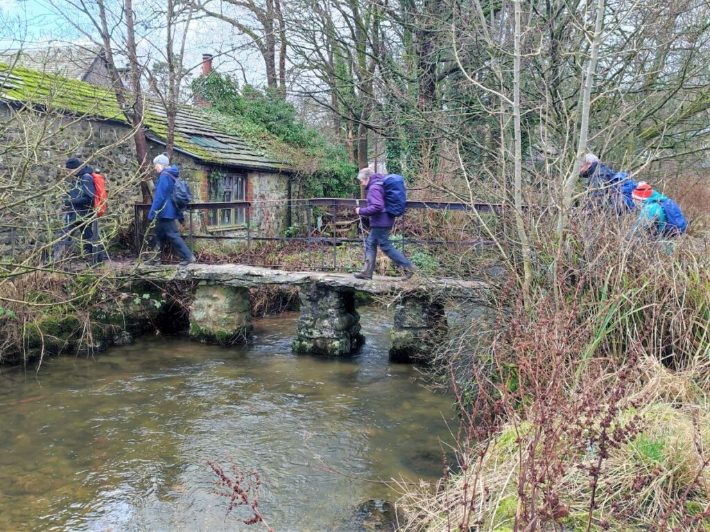
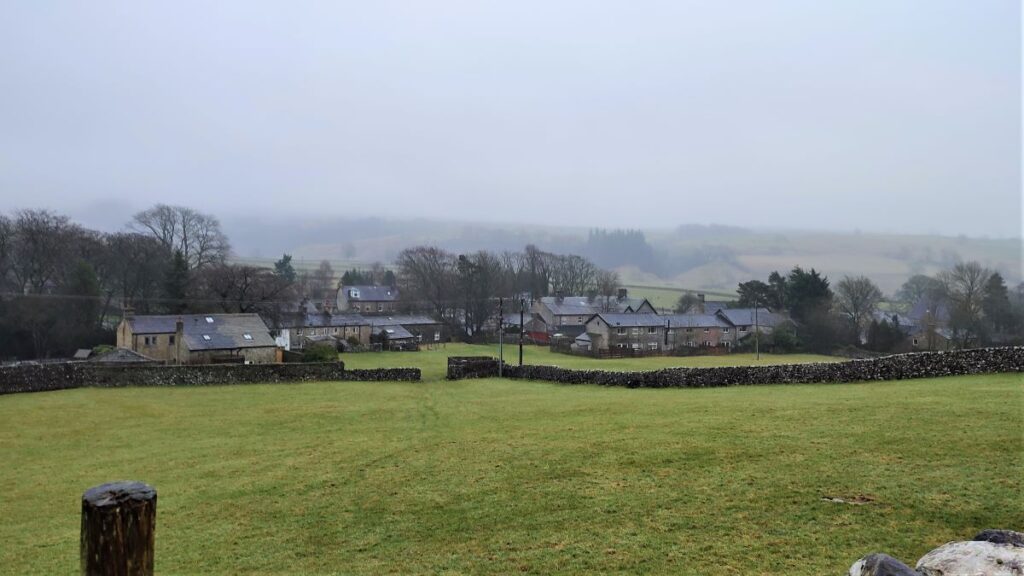
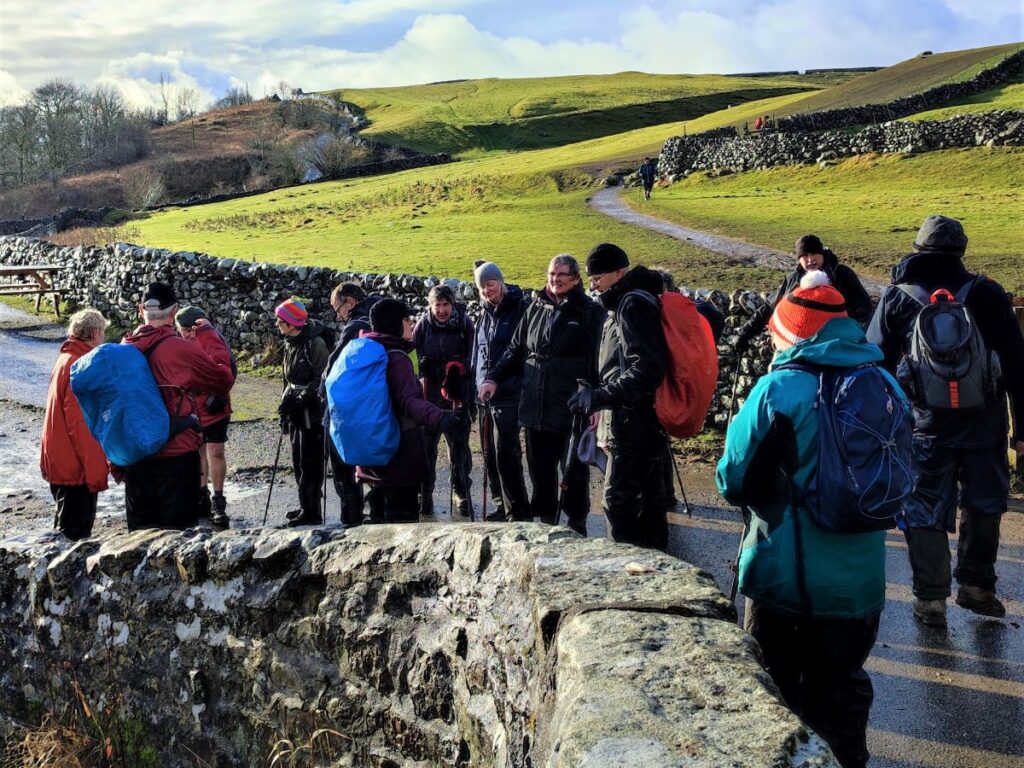
The path continues down and meets the Pennine way, where we turn right and head into Malham, crossing the top of the River Aire at the famous Smithy Bridge before following the road back round to the left where we find the National Park Centre.
- Total distance 12.6 km (7.8 miles)
- Total ascent 525 m
- Moderate walk