Jump to . . .Step by Step | OS Map | Downloads | Gallery | Fly through
Long Preston is a small village that many people drive through on the way to better known destinations in the Yorkshire Dales. It’s well worth stopping though to explore this village and the excellent walks that can be accessed from it.
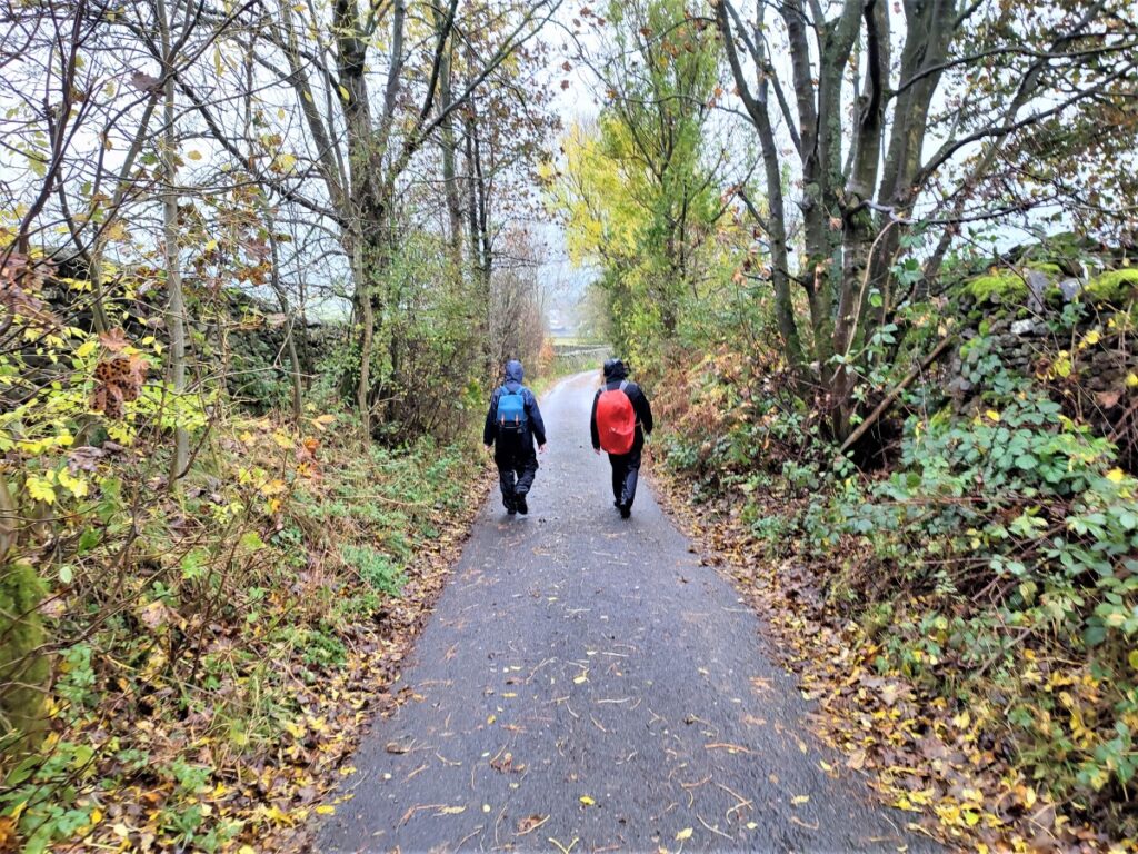
The walk we present here is classified as challenging simply because it just exceeds our 15km limit for a moderate walk – but much of the route is on tracks, or minor roads, and there are no steep climbs, so if you feel comfortable with our moderate walks give this one a go too. There are some shortcuts highlighted.
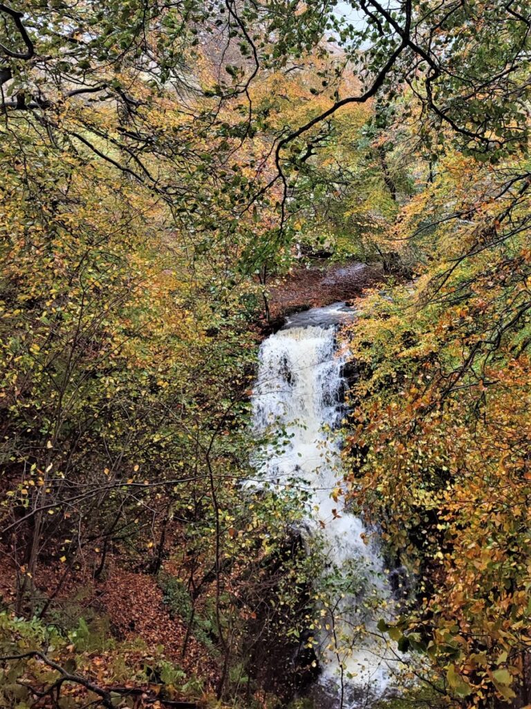
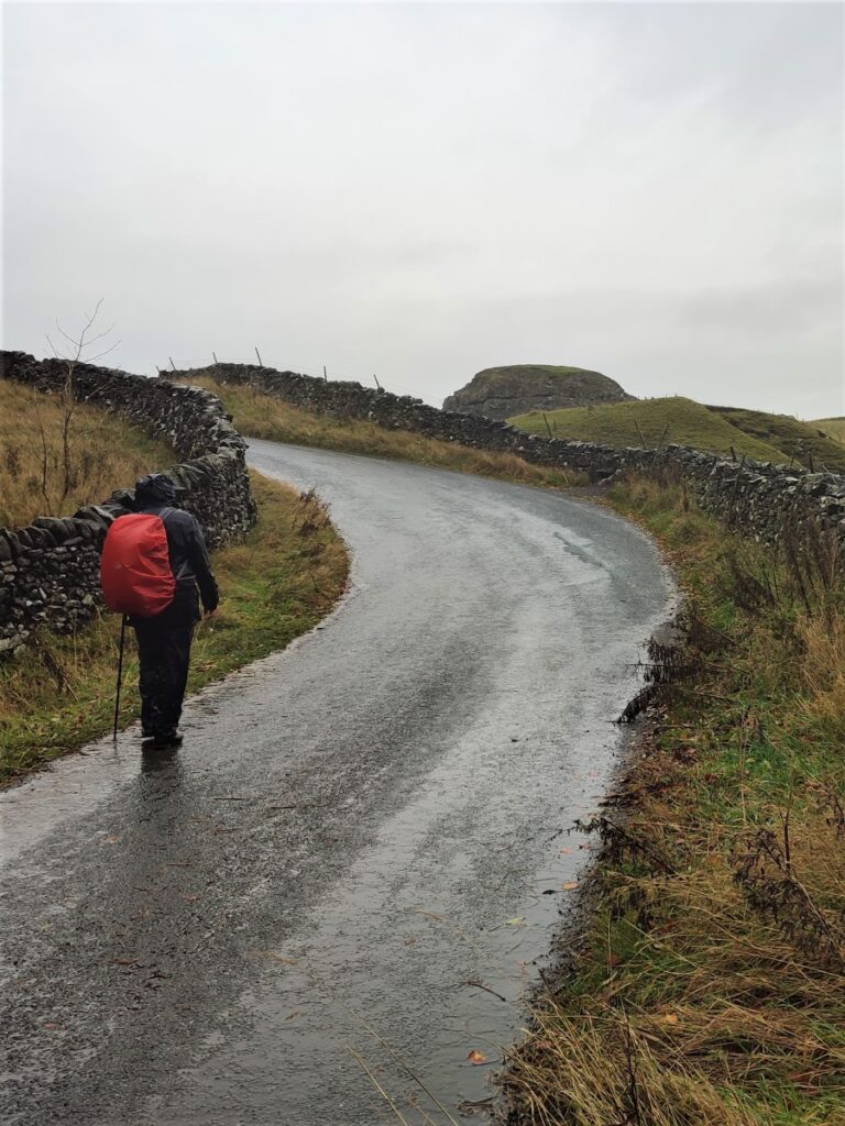
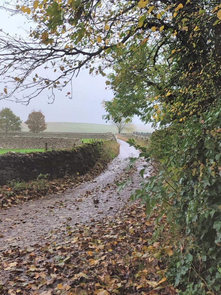
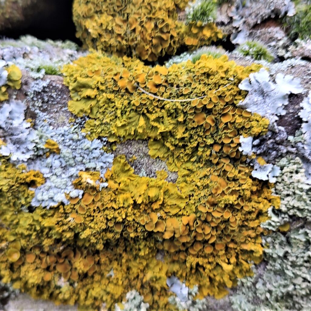
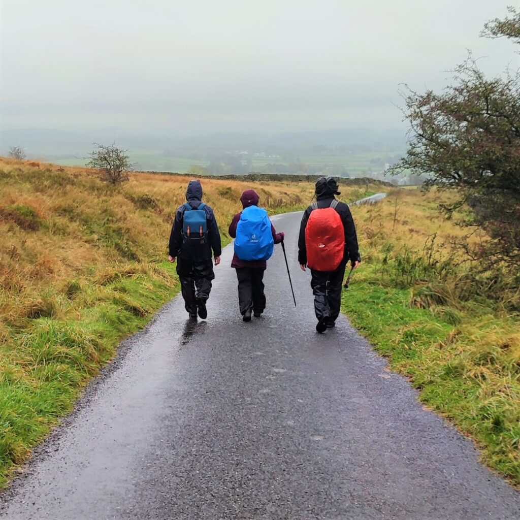
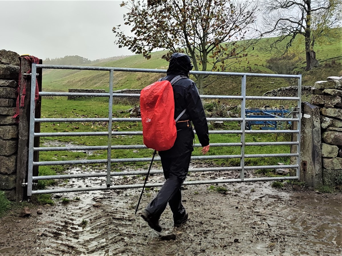
As you can see from the gallery, we picked a wet day to walk it, but in better weather, the views over the Ribble Valley, and the flood plains south of Settle are well worth seeing, as is Scaleber Foss at the halfway point.
- Total distance 15.8 km (9.8 miles)
- Total ascent 462m
- Challenging walk
Step-by-Step
Long Preston is on the A65, 4 miles out of Settle toward Skipton, and roadside parking can generally be found in any of the roads that connect to the A65. Alternatively, travel to the village by train – the station is close to the village and adds no significant distance to the walk.
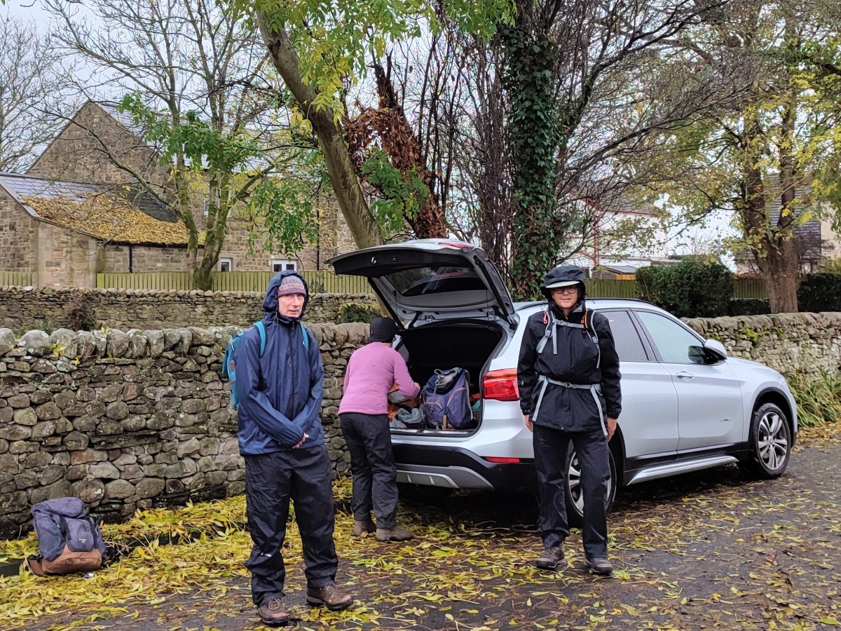
For this walk, we parked on a residential street – Satnav users can find it by searching for Chapel Walk Long Preston. The grid reference for paper map users is SD83265818, and what-3-words tag moth.disco.iceberg will find it. As ever, please park with consideration for local residents.
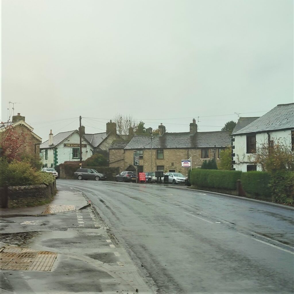
From the parking spot head back to the village green behind the Rohan outdoor shop. It’s worth noting that there is an annual gala held in May every year on this green when the entire village comes together in a very traditional way.
We start by crossing the A65 and heading in the direction of Skipton – the Maypole pub should be behind you, and the (currently closed) Boars Head ahead of you on the opposite side of the road.
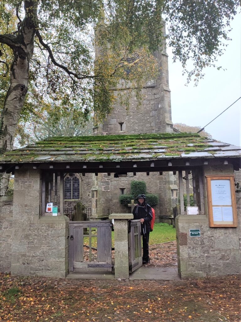
Continue past the Boars Head, and then take a left into Church Street. As the name suggests this leads up to the parish church – St Mary the Virgin, which is Grade I listed building that dates back to Norman times. It is an intriguing mix of architectural styles – mainly because it has been extended and adapted over the centuries.
Although we did not enter the church during this walk, it’s worth taking the time to schedule a visit to see the internationally important collection of stained glass by the Belgian artist J.B. Capronnier.
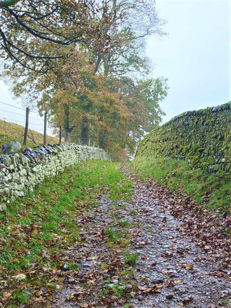
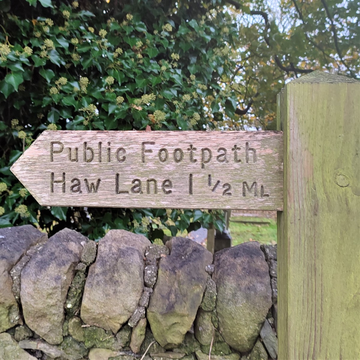
Walk around the right hand side of the church to see the exit stile onto New House Lane at the far end of the grounds. You will note a fingerpost here indicating Haw Lane – this is the direction we take.
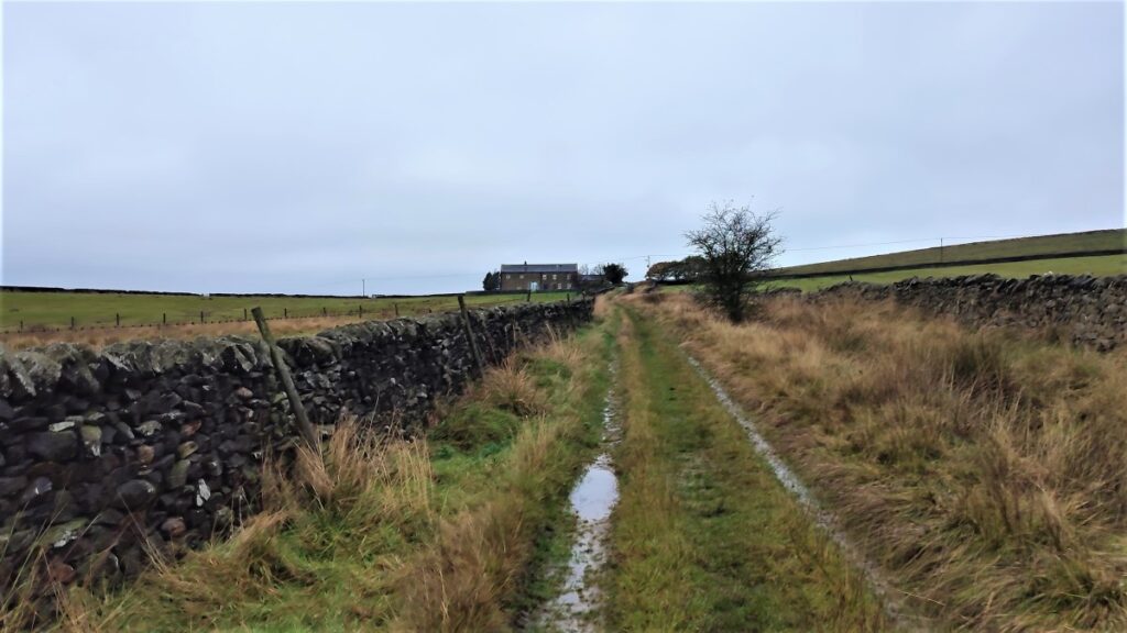
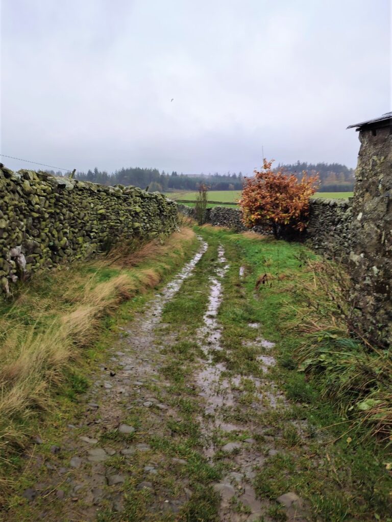
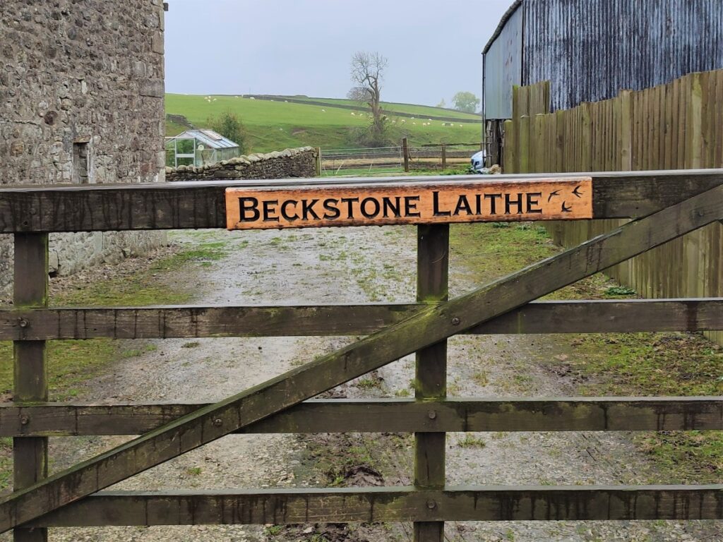
The walk now heads East along New House Lane for a good while – this minor road gives access to a number of properties so be aware that (very light) traffic may be present. We pass Beckstone Laithe on our right, and then New House on our left – and beyond here the minor road continues through a gate as a farm track – we are still heading East at this stage. The lane winds round to the left following the contours of Cow Pasture Hill which is to the left of the lane.
We soon see buildings ahead of us – this is Little Newton, where we note that some of the farm buildings are currently under conversion to dwellings.
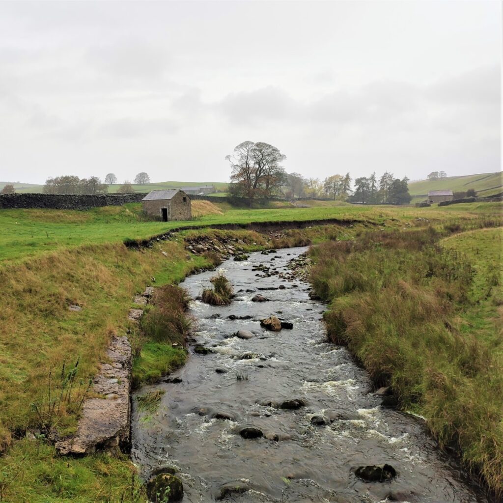
The track ends at Little Newton, and we look for a gate on the left, marked as the footpath onto the grassland next to Newton Gill.
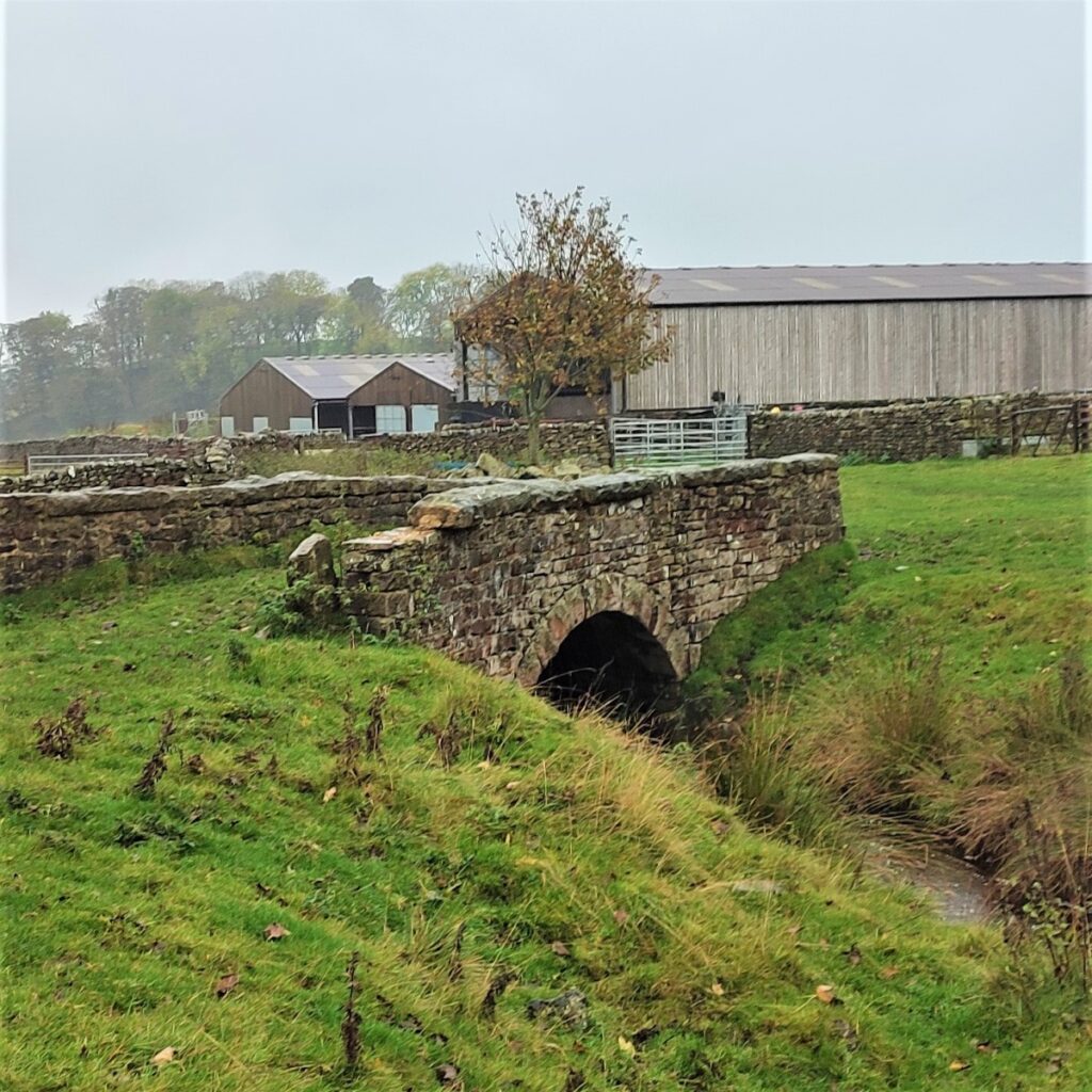
We start by following the stream, crossing it at a surprisingly large and impressive arch stone bridge – which suggests that there was once much more significant traffic at this location.
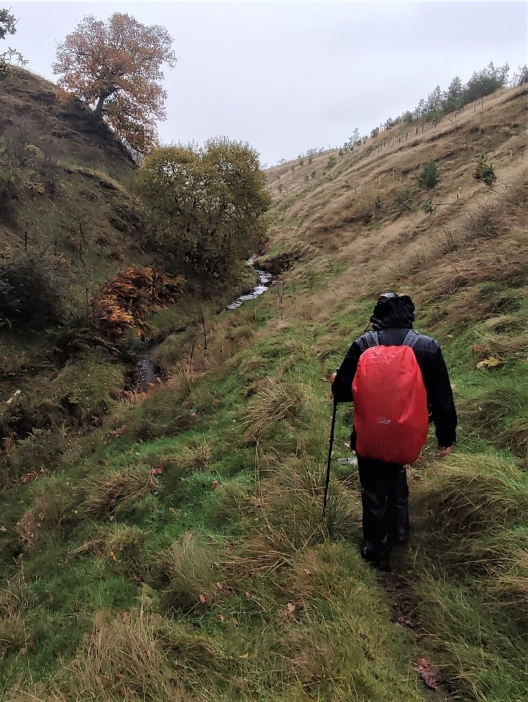
We follow the line of the beck upstream for a while now – keeping the stream on our left as we go. The path does not hug the bank of Newton Gill though, so don’t worry if we feel that we are veering away from the water.
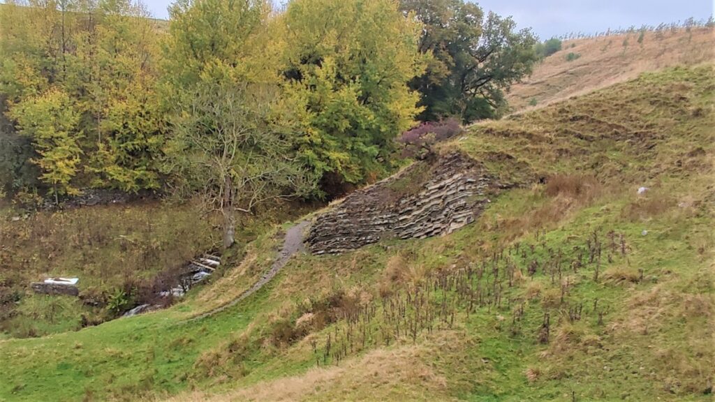
We pass an interesting, exposed rock formation on the left and then arrive at a stile over a wall, continuing beyond in much the same direction.

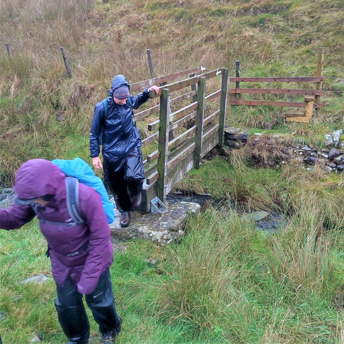
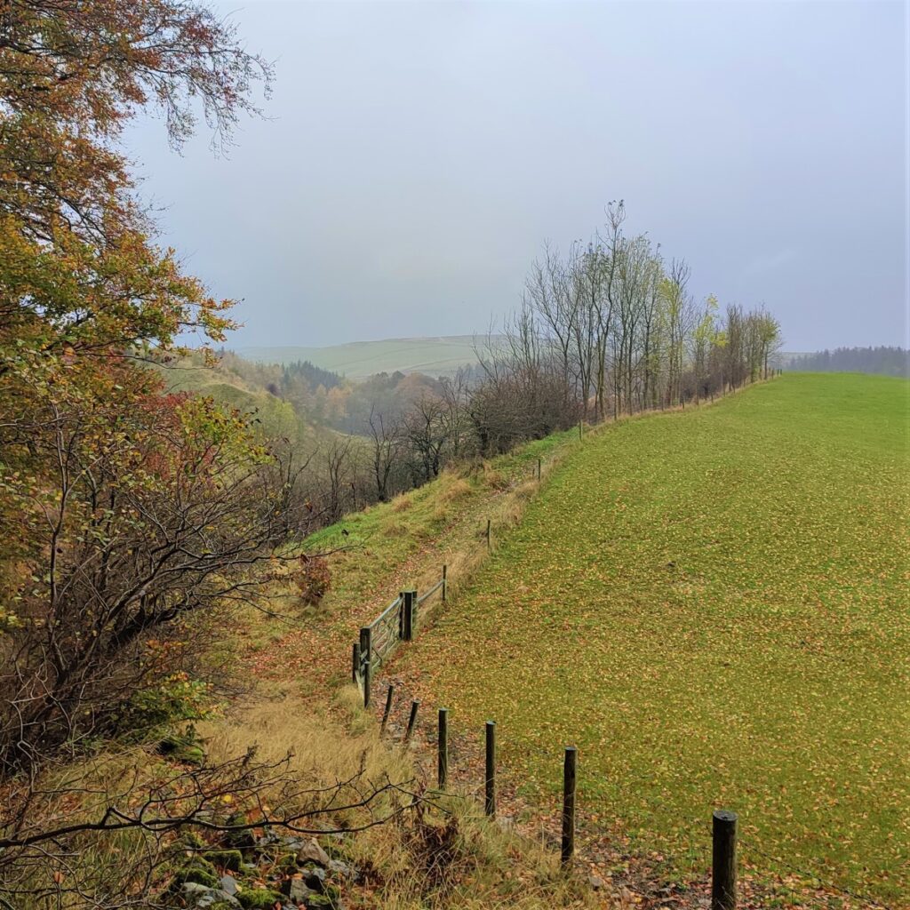
The land beyond the stile has been planted as a woodland, and the route shown on the OS map is uphill though the plantation – we found it easier to stick to the bank of the stream, which curves round to the right to reconnect with the path marked on the map.
We soon see a small wooden footbridge over the stream, and we cross this and head up the opposite bank along the line of the drystone wall. In good weather this part of the walk affords our first views over the Ribble Valley.
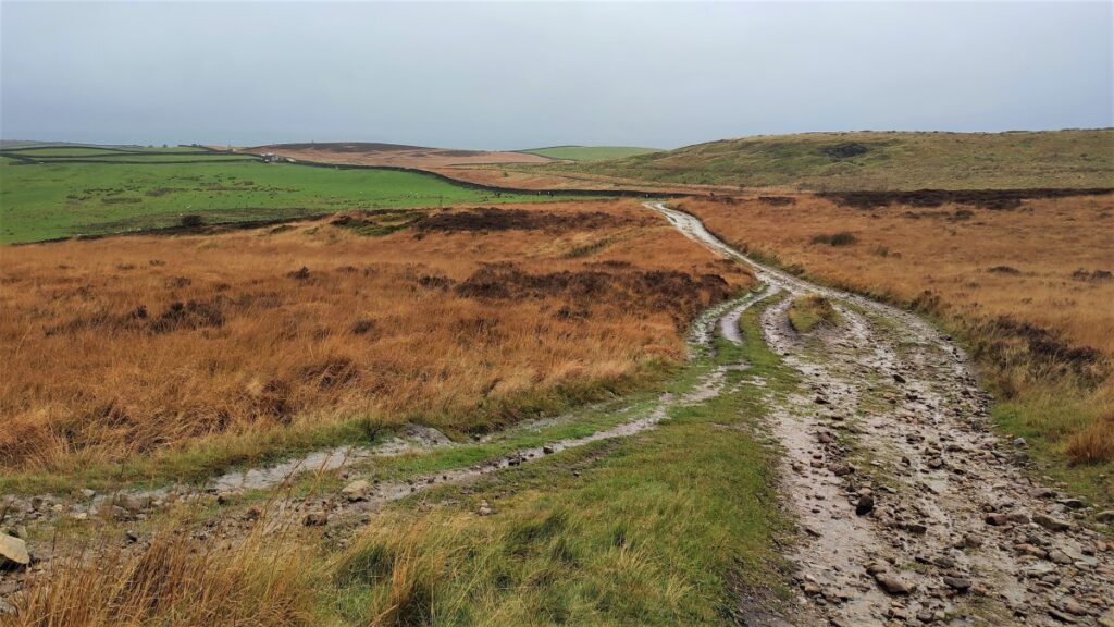
We see a stile in the wall ahead of us, and we cross this into a relatively featureless moorland. The path here may be somewhat indistinct, so if in doubt, at the stile, identify the peak of the hill directly ahead and head for this.
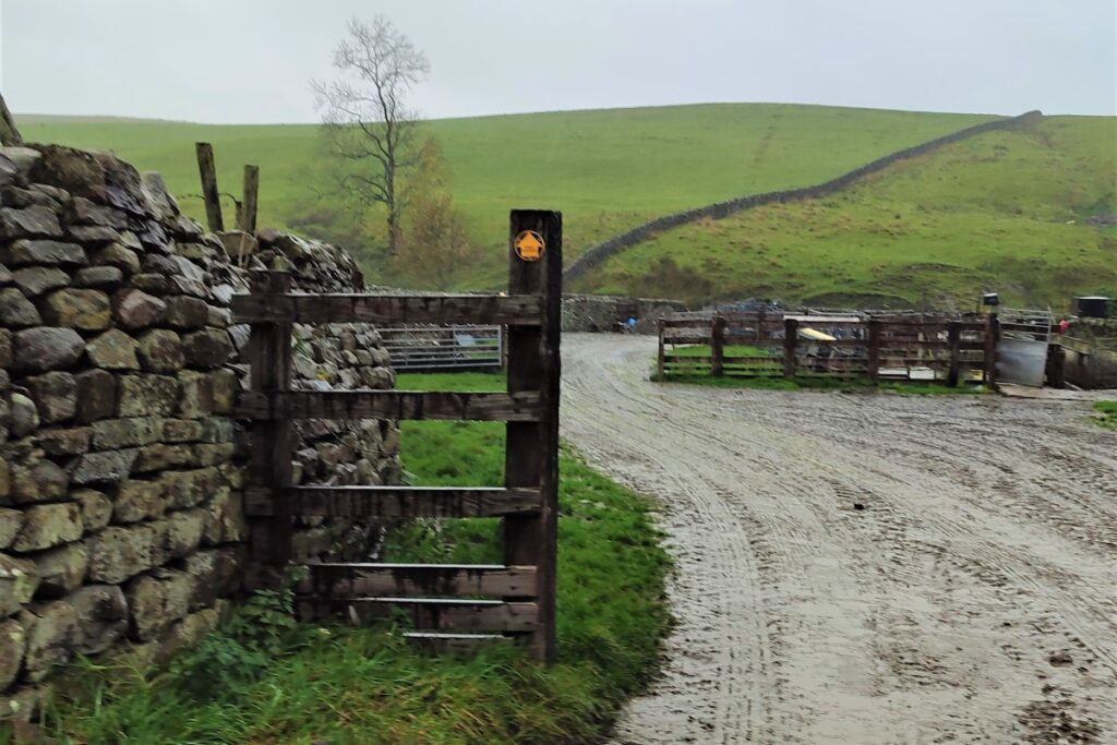
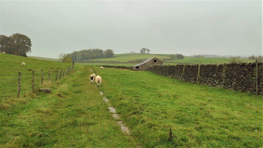
We soon see a wall ahead of us at the far side of the pasture, and the path goes through a gate onto a track known as Langber Lane – we take this to the left and follow it for a good while.
We pass Bookilber Barn on our left – with a reassuring Welcome sign – a clue that this is a self-catering holiday property.
We press on for a while, noting paths and bridleways on both sides of Langber Lane – those on the left tend to return to Long Preston, so keep these in mind as a shortcut if you are flagging.
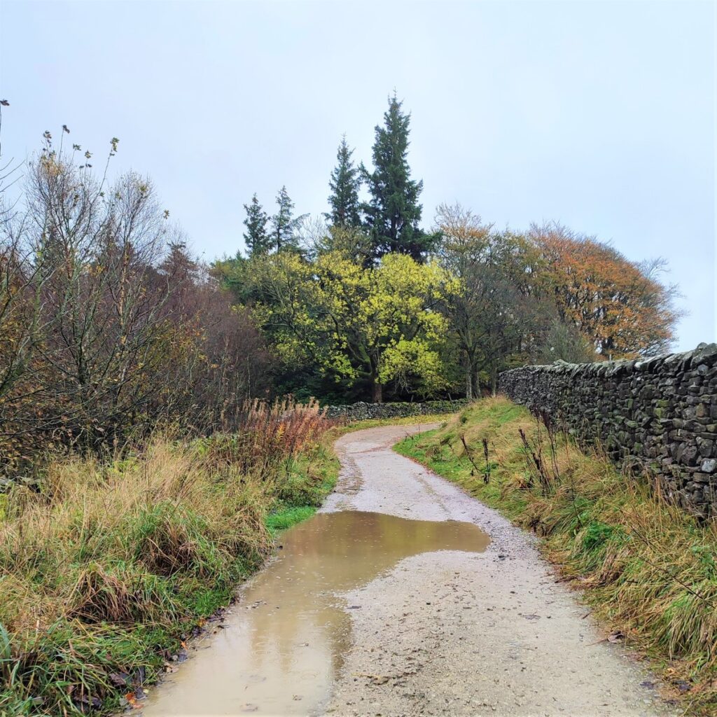
Before long we find that the lane runs along the side of a stream – this is Bookill Gill Beck, and beyond here we enter a wooded area known as Langber Plantation.
We carry on following Langber Lane, and although it meanders a little, our direction is generally to the North, passing another woodland on our left – this is Wild Share – before arriving at a minor road, the Settle to Airton road.

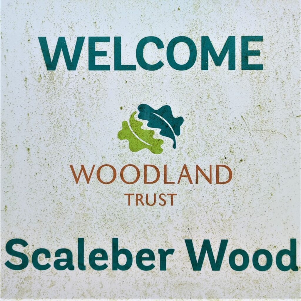
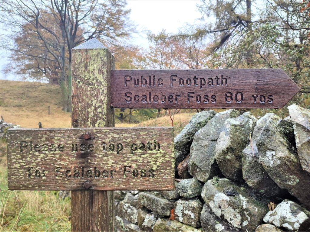
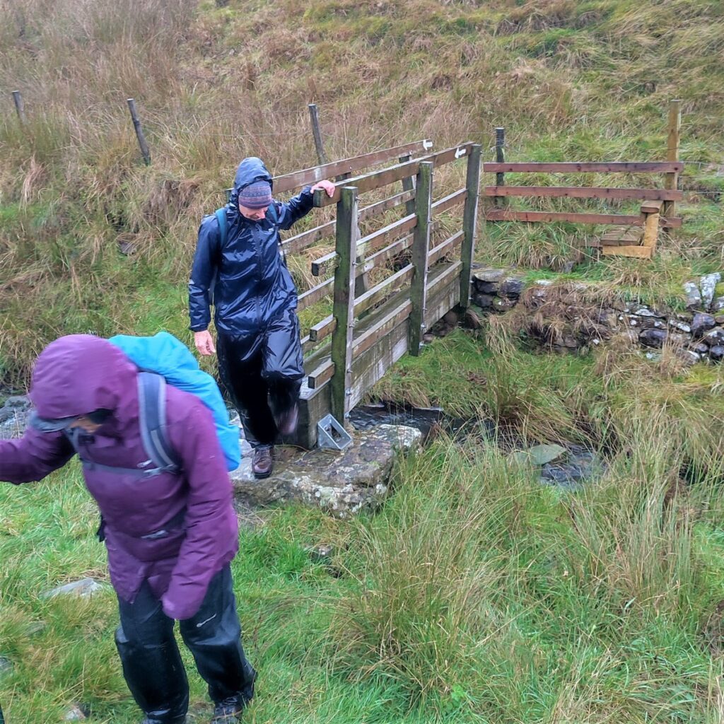
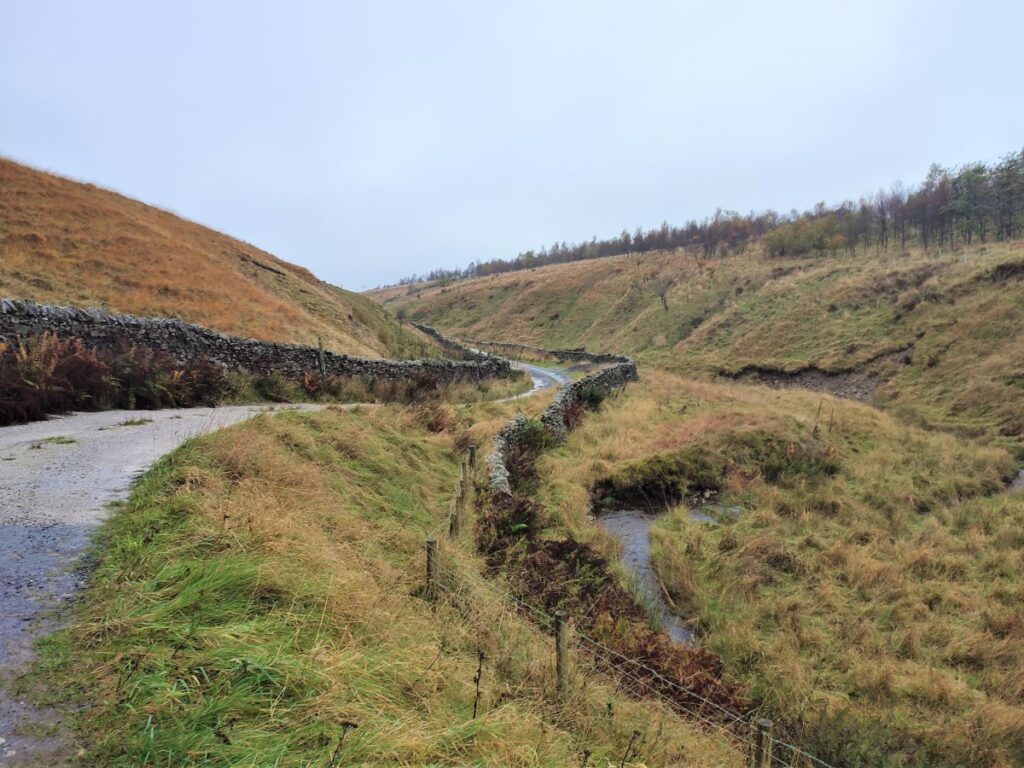
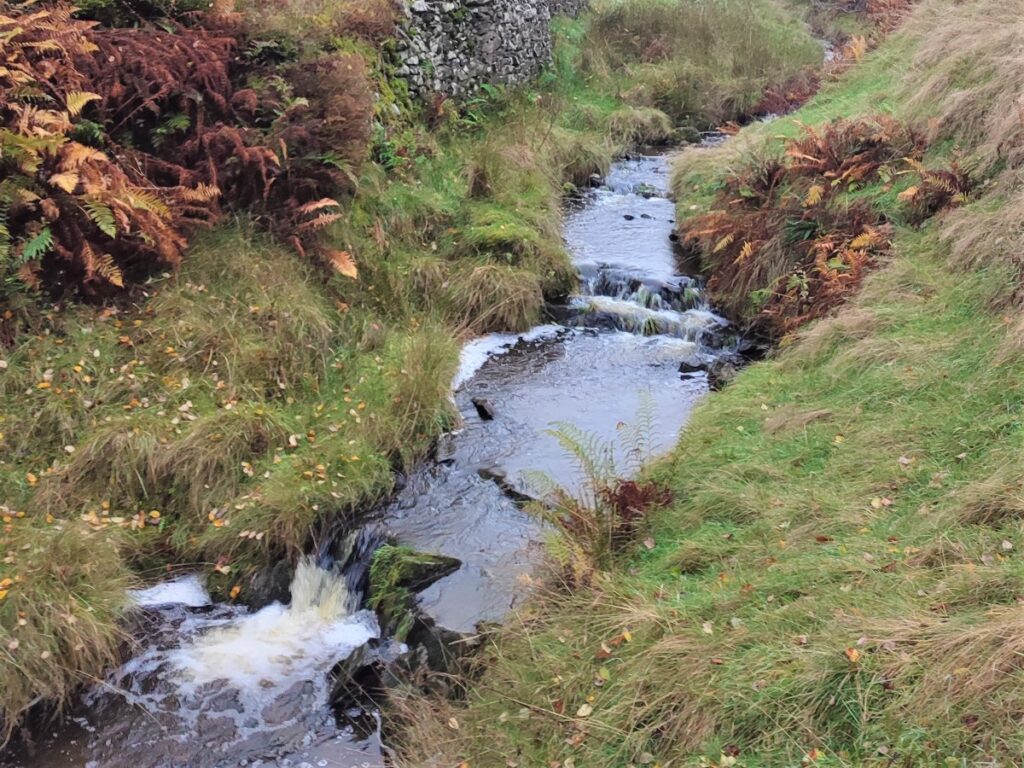
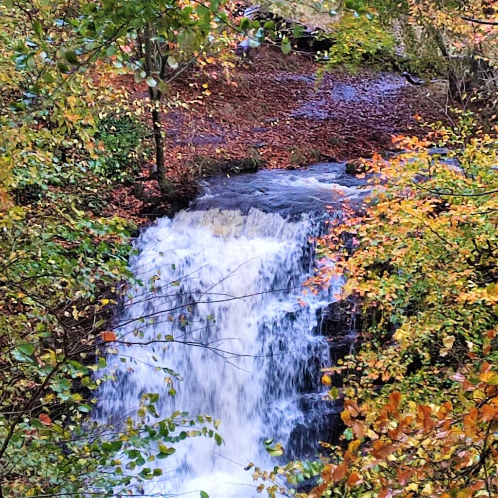
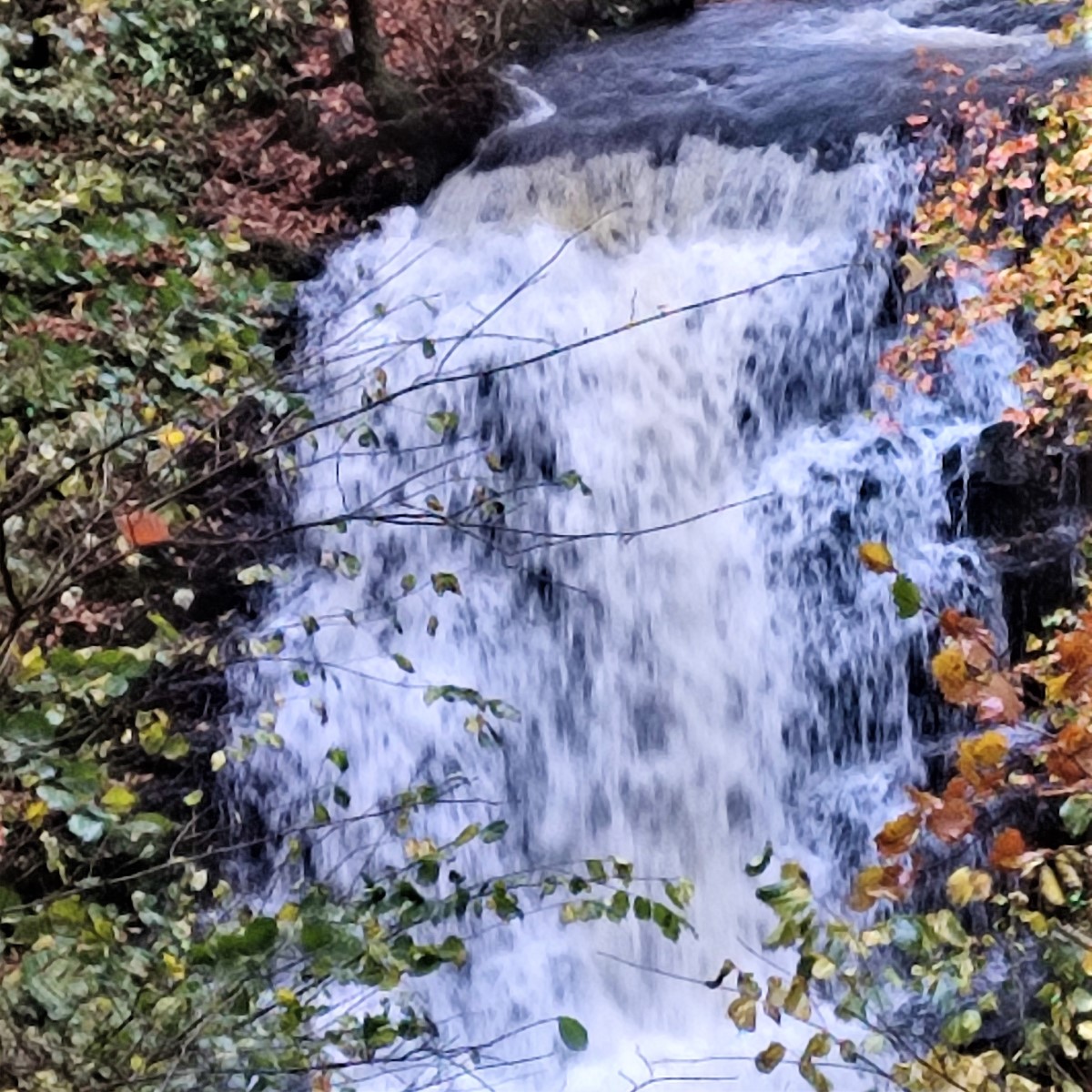
We go left on this quiet road, crossing Scaleber Bridge, and then taking the footpath on the left via gate / stile into Scaleber wood. This is owned by the Woodland Trust but is publicly accessible, and is home to Scaleber Foss (also known as Scaleber Force).
Visit https://www.woodlandtrust.org.uk/visiting-woods/woods/scaleber-wood/ to see how the Woodland Trust looks after this beautiful site.
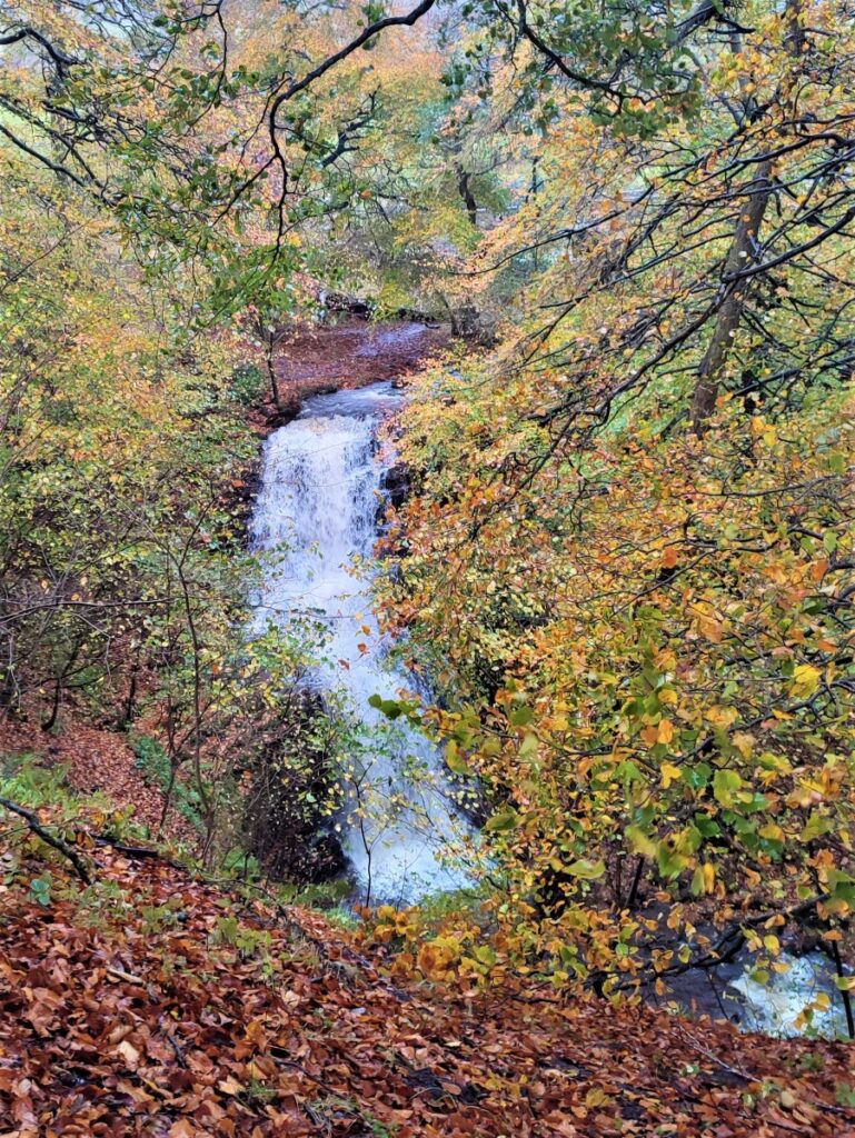
There is a bench within the site offering good views over the Foss – a 40ft waterfall – which after heavy rain is quite impressive, and this is a good point to take lunch as we are now just past the half way mark on the walk.
If the flow in the Foss is poor on the day you visit – then a video of the falls at their best can be found at at YouTube: by clicking here
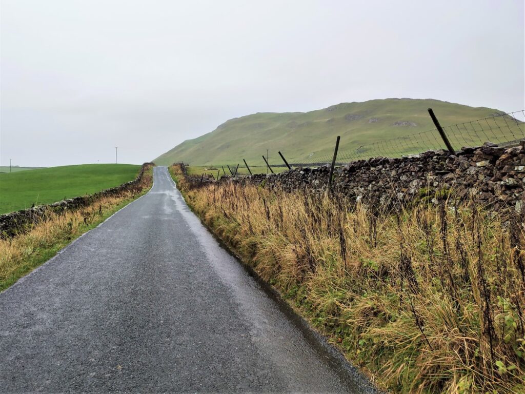
Having spent a little while enjoying the falls, return to the road and head left toward Settle – take care on the road as there will be some traffic.
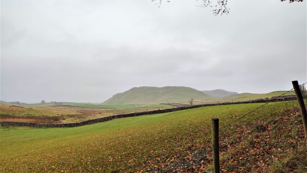
The hills to the right of the road are impressive – just to our right is Sugar Loaf hill, and further North is Attermire Scar – other BFG walks cover these.
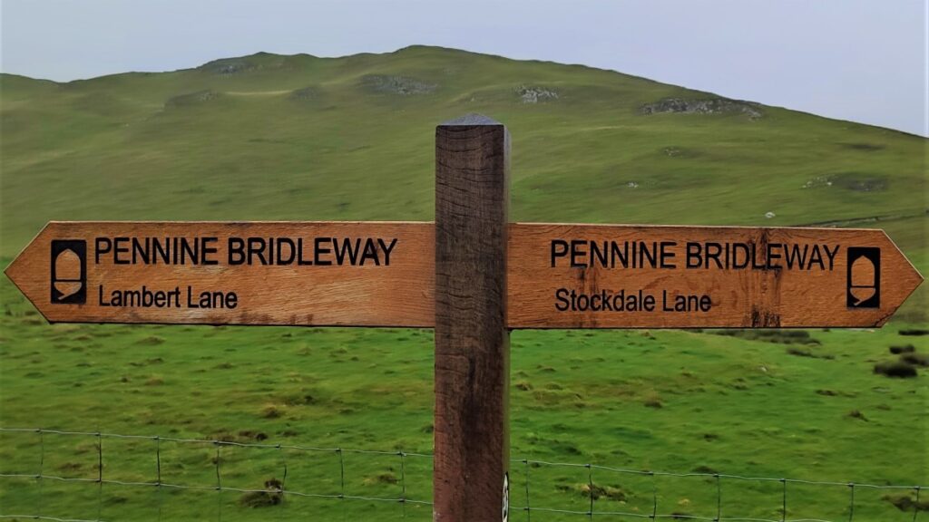
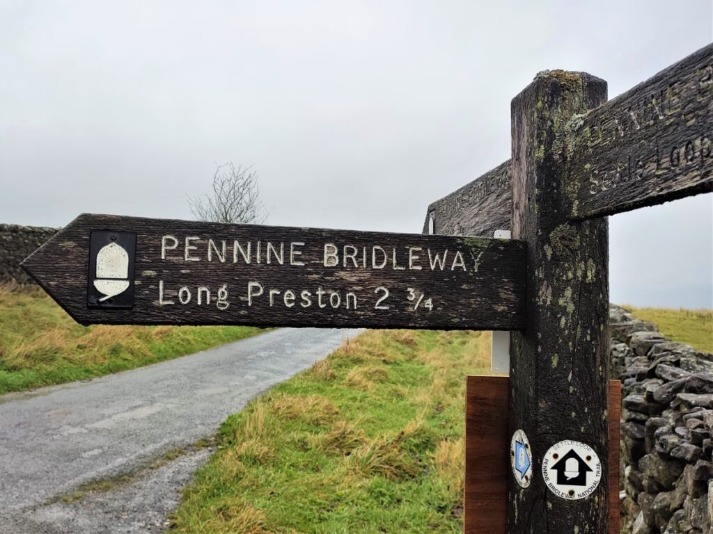
In a short while we see a lane join from our right – this is Stockdale Lane, and the Pennine Bridleway. We carry on along the road as it heads left where we take the Bridleway as it leaves on the left at another small lane, we are now on Lambert Lane.
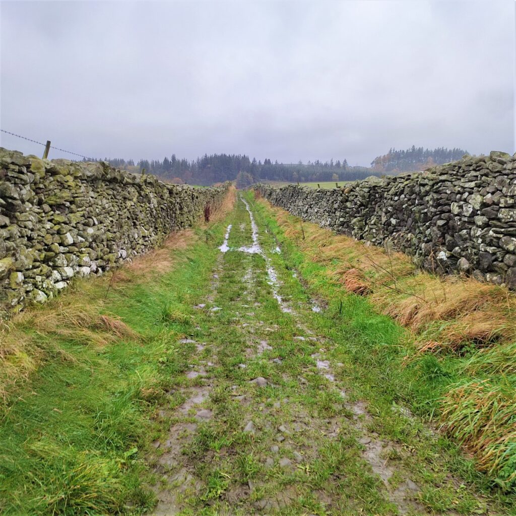
We now head South past a derelict barn (called Preston’s barn) before the track bears right to head uphill toward the edge of a plantation – this is Black’s Plantation. Notice as we head uphill that there is an interesting underpass – enabling livestock to cross under the bridleway. We continue and head up to a minor road and take a sharp left – almost reversing our direction.
We stay with this track for a long time now – initially uphill along the edge of Black’s plantation, avoiding the tempting footpath on the right that would take us to Lodge Farm and then Cleatop Park – this features in other BFG walks.
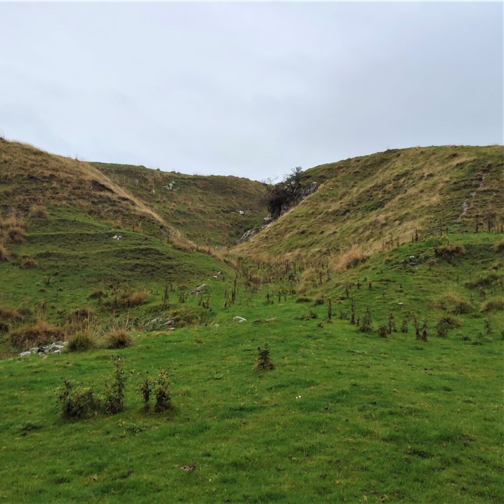
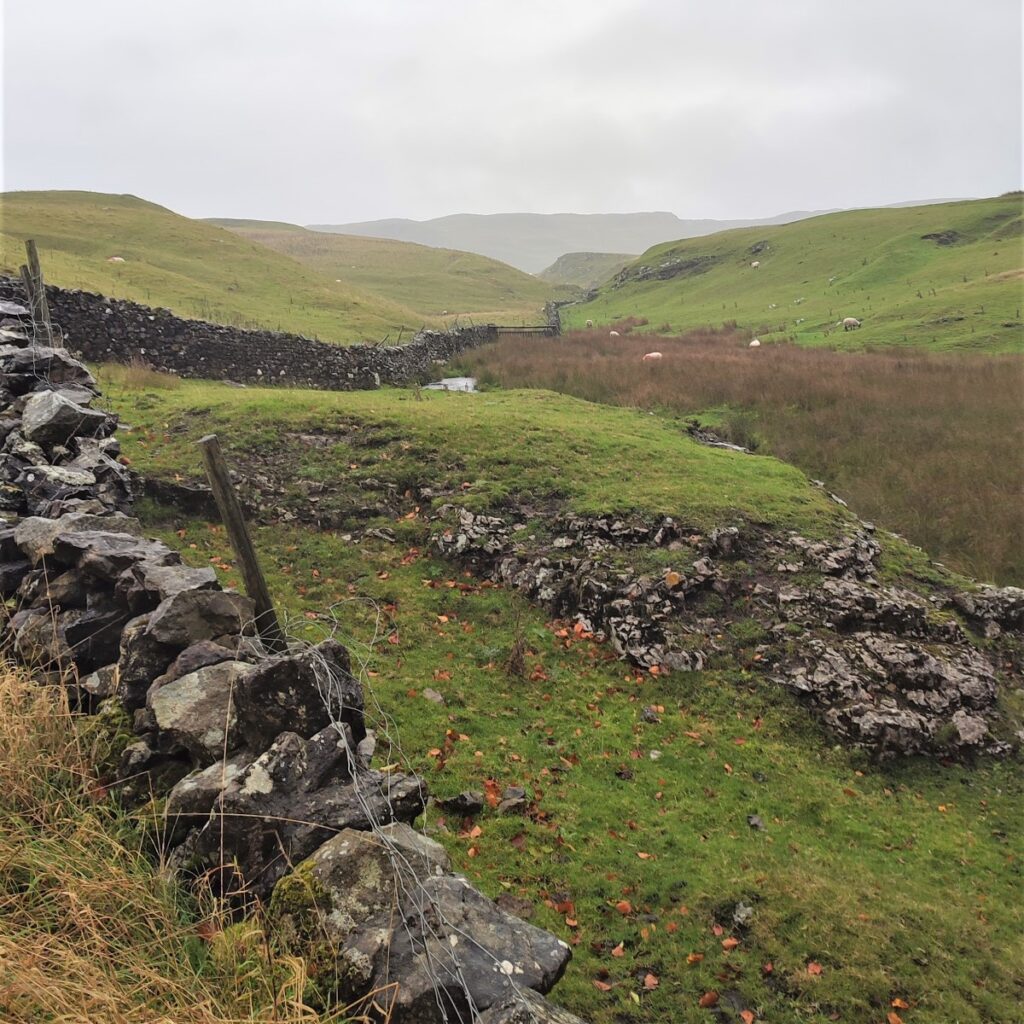
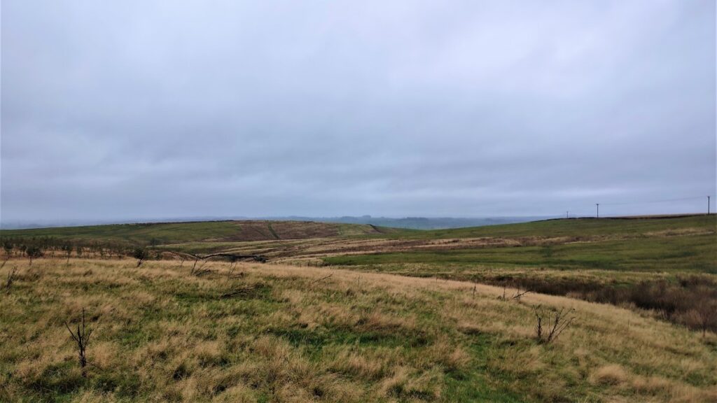
The lane bears right until the direction of travel is due South, passing though flat and relatively featureless ground for a while until it veers right end then left – this is the site of a pair of disused quarries. There is some evidence that the straight track we are on now was a Roman Road (RR722) from Skipton to Settle – so an ancient version of the A65 – no definitive evidence is available, although there is accepted evidence of a Roman fort close to the church.
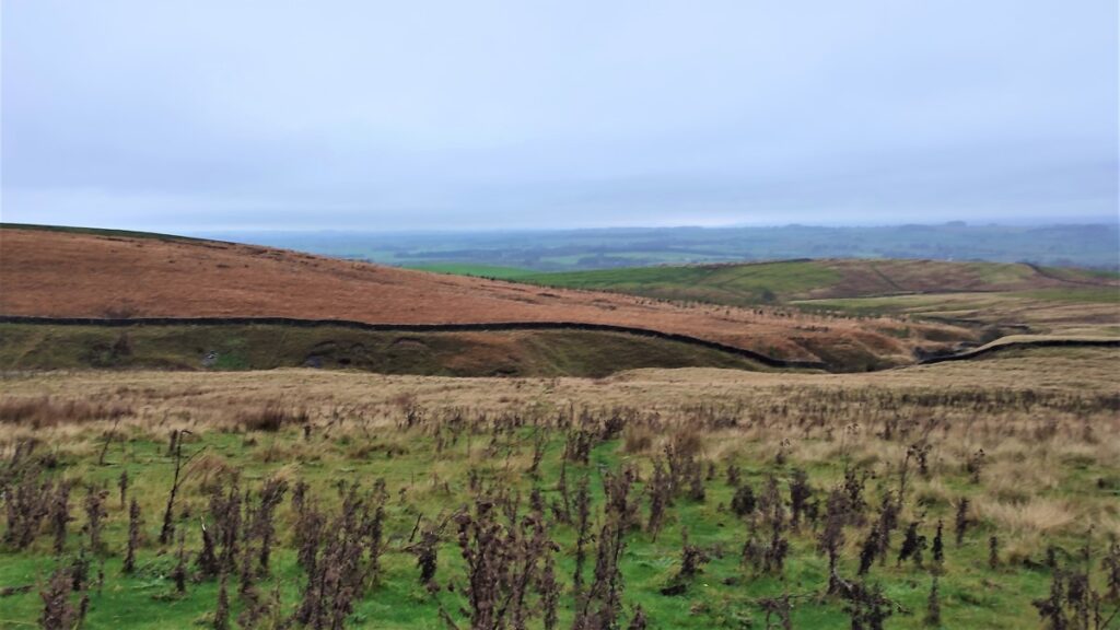
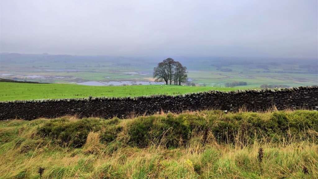
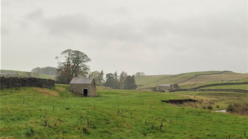
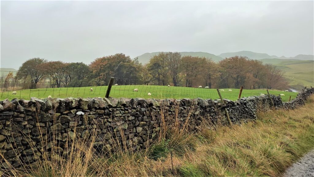
The bridleway straightens again, and we continue South, soon gaining good views on the right over the flood plain of the Ribble Valley. The flood plain covers some 766 hectares, and within it is 162 hectares of the river Ribble (Long Preston Deeps) Site of Special Scientific Interest (SSSI).
The wetland was formerly seen as an important natural resource for rushes, hay, wildfowl and the linen industry. Agricultural improvements from the 18th century drastically altered the landscape with extensive drainage and new field patterns leading to a much diminished wetland habitat. Now falling economic returns and changes in agricultural policy are providing a new economic opportunity to enable habitat restoration as well as address the new imperative for flood control.
More detailed information about the flood plain restoration can be found by clicking here
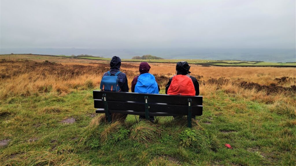
There is a bench offering great views over the wetland – although ironically enough when it is very wet, the view is poor.
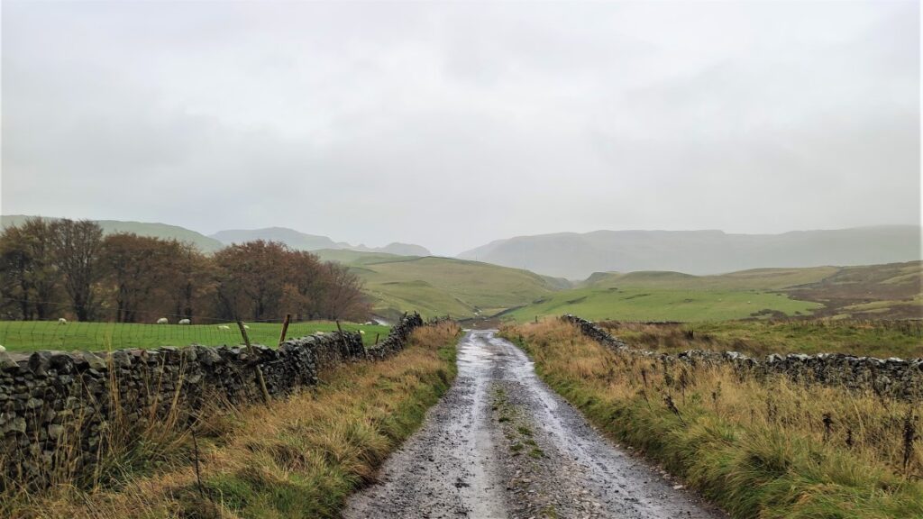
The bridle way continues, and we stay with it, until it merges with Edge Lane – technically it is a road at this point. On our left we see a number of paths coming in from the hills – these are the potential shortcuts from Langber Lane that we identified on the outward journey.
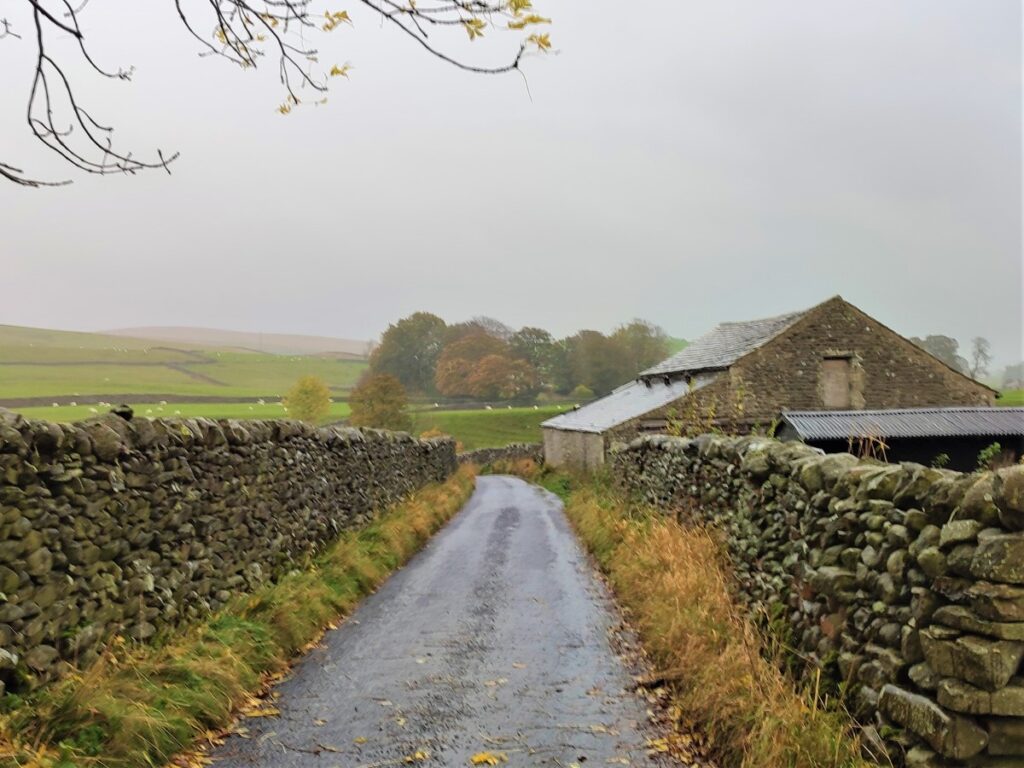
Edge Lane becomes Green Gate Lane, and we follow this all the way down into Long Preston past some new housing which fits rather well with the existing character of the village.
At the end of Green Gate Lane, we turn right and see the Maypole green ahead of us – here we cross the A65 and return to the cars
- Total distance 15.8 km (9.8 miles)
- Total ascent 462m
- Challenging walk