Jump to . . .Step by Step | OS Map | Downloads | Gallery | Fly through
We recently enjoyed a great walk on the Tolkein Trail, visiting the far end of the Hodder where it meets the Ribble, and we also spent time on the Hodder as part of our equally enjoyable Dunsop Bridge walk. This walk is also based around the Hodder and explores the region between our other two offerings.
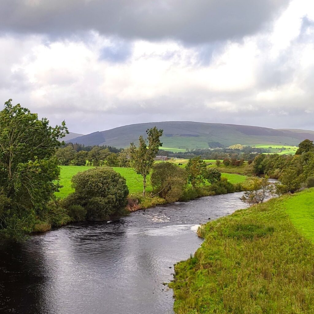
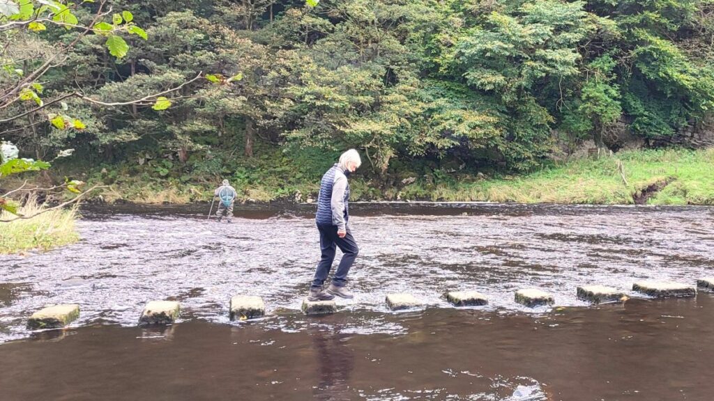
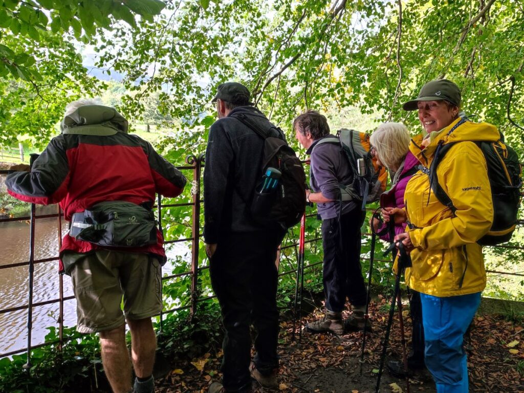
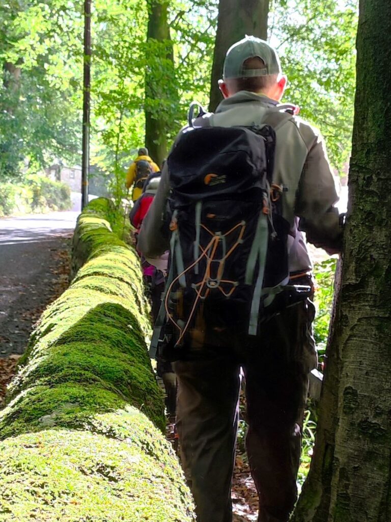
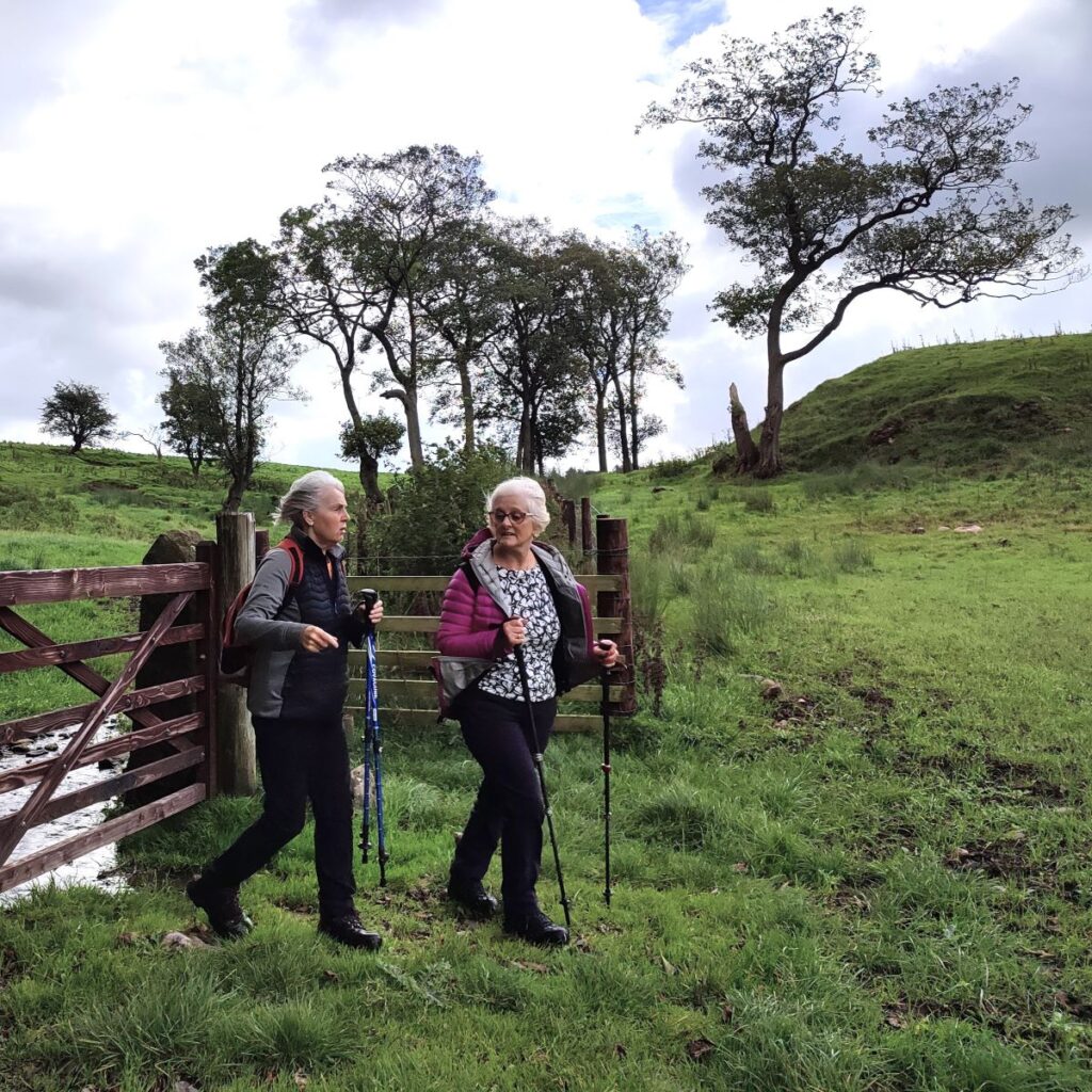
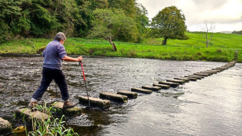
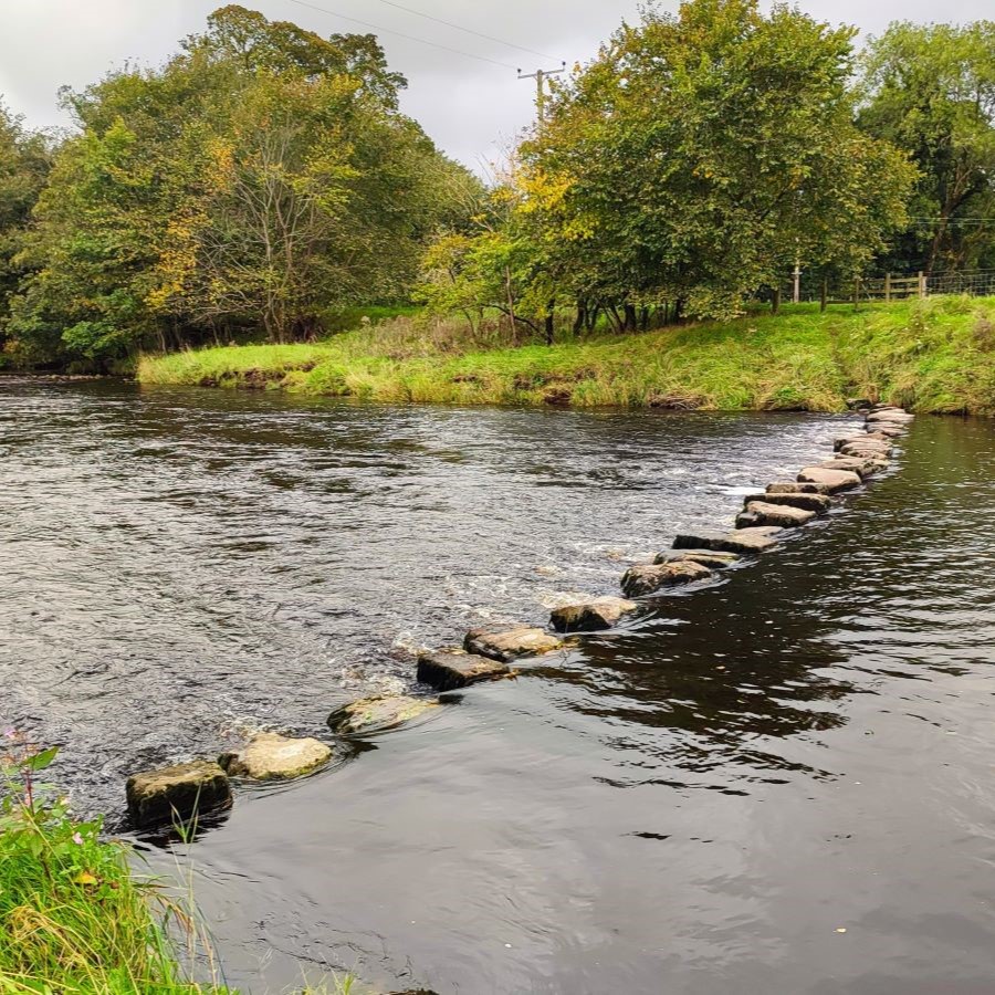
We start from Whitewell, and head downstream to Stakes, but as there are no rights of way directly along the banks of the Hodder, we find a route along the side of Seed Hill, before crossing the road and clipping the edge of Ing Wood where we enjoy a view which includes ostriches. From there we head across fields, over a ford and on to Stakes, where there is an option to cross the river via stepping stones. When the Hodder is in full flow this route can be difficult, so we took a diversion to Doeford Bridge and Loud Mytham bridges to safely cross the river.
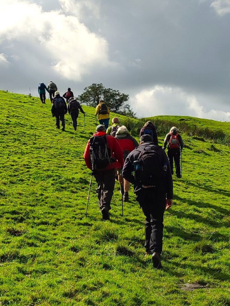
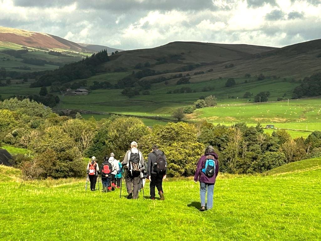
The return leg of the walk brings us via Knot Hill to New Laund Farm where we again have the option of a route back over stepping stones. We took the safer, but slightly longer route back via Burholme Bridge, and then a permissive path close to the Hodder. The extensions to cope with the high water levels make this long enough to be classed as a moderate walk, but there are no hard climbs.
- Total distance 14.1 km (8.8 miles)
- Total ascent 300 m
- Moderate walk
Step-by-Step

We start at Whitewell, a small village that until the local government re-organisations of 1974 fell just within the West Riding of Yorkshire – it’s now part of Lancashire. More importantly from a walker’s perspective, it’s within the Forest of Bowland Area of Outstanding Natural Beauty and is a very convenient place to start a walk – with options including Longridge Fell, the river Hodder, Browsholme Hall, a Roman road, and the curiously named river Loud.
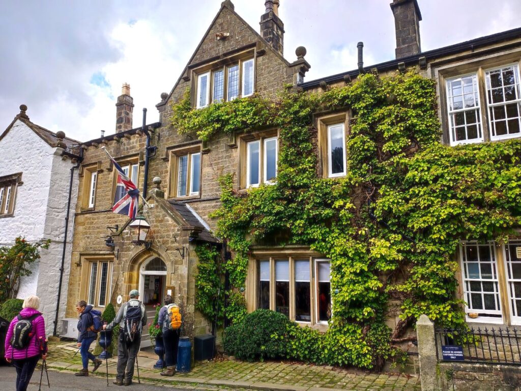
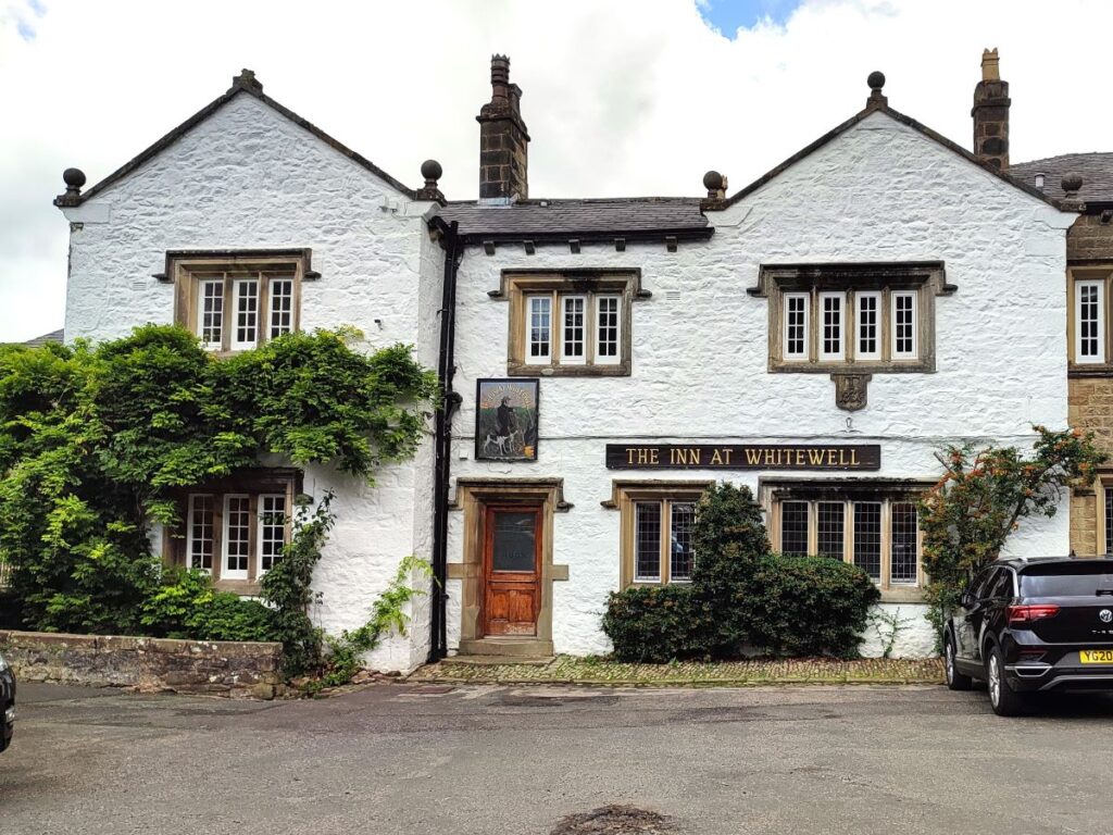
Whitewell sits on the Dunsop Road at the side of the Hodder and is perhaps best known for the Inn at Whitewell, a well-regarded 16th century Coaching Inn which is popular as a wedding venue. You can plug the postcode of the Inn – BB7 3AT – into your Satnav, or use the what-3-word tag troubles.bulky.helping to find Whitewell, or if you prefer paper maps, the OS grid reference is SD65864683.
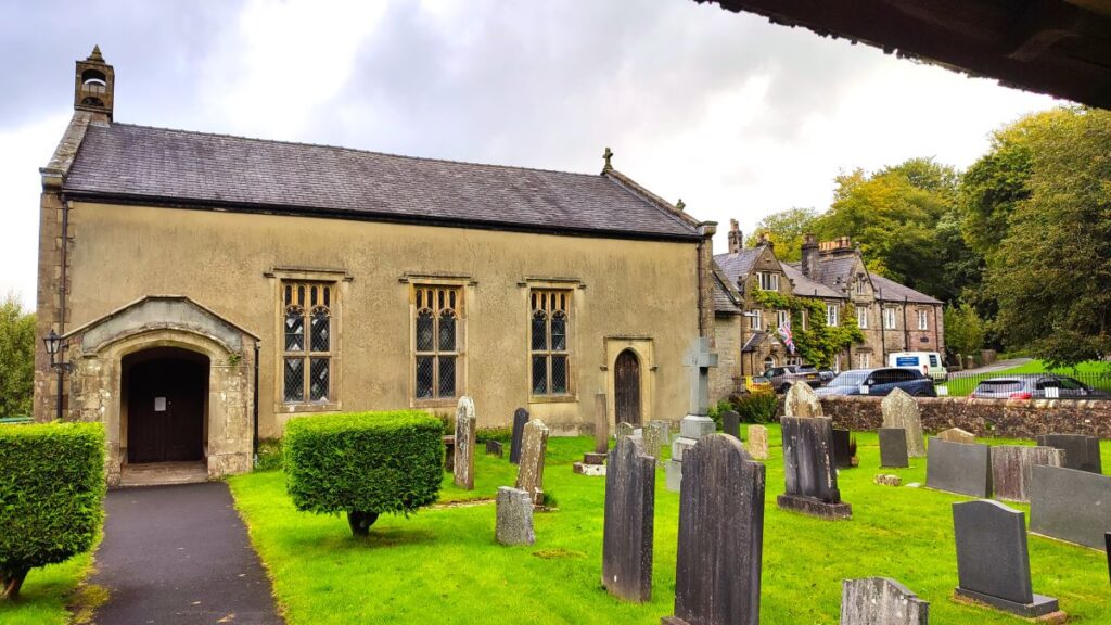
Although there is parking in front of the Inn, it is really intended for their customers and as there is ample free parking next to St Michael’s we recommend parking there and taking a few moments to look at this splendid church which was built in stages during the period between 1478-1521.
It was substantially being rebuilt in 1817 and the magnificent stained glass window depicting the birth of Christ was put in around 1900 in memory of Edward Parker. Within the church there is a 300 year old tapestry, which copies an oil painting by Reubens. The tapestry was in the Parker family for 200 years and was loaned to the church just before the last war.

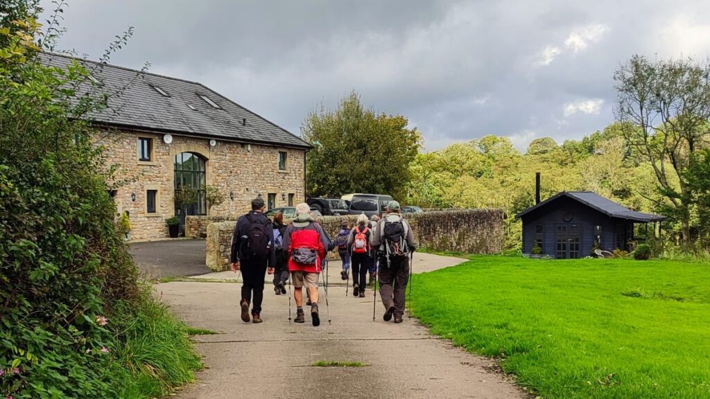
From the church, we head back up to the main road in front of the Inn and look for a small road opposite, where Whitewell Social Hall is located. Our path heads out up the hill past the hall – but it’s worth taking a moment to read the information board at the hall which carries a QR code for https://www.forestofbowland.com/ where lots of interesting background information about the area can be found.
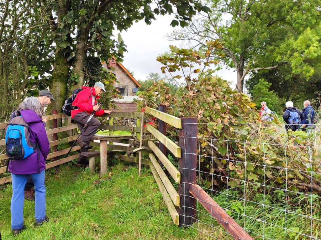
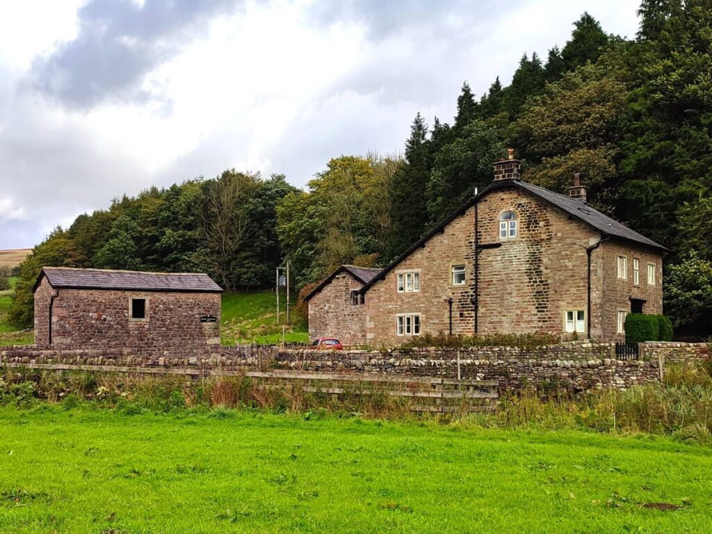
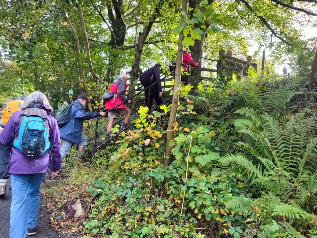
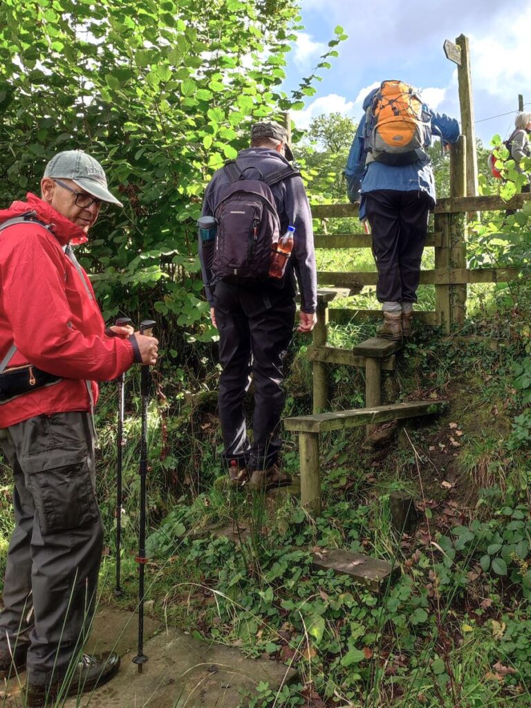
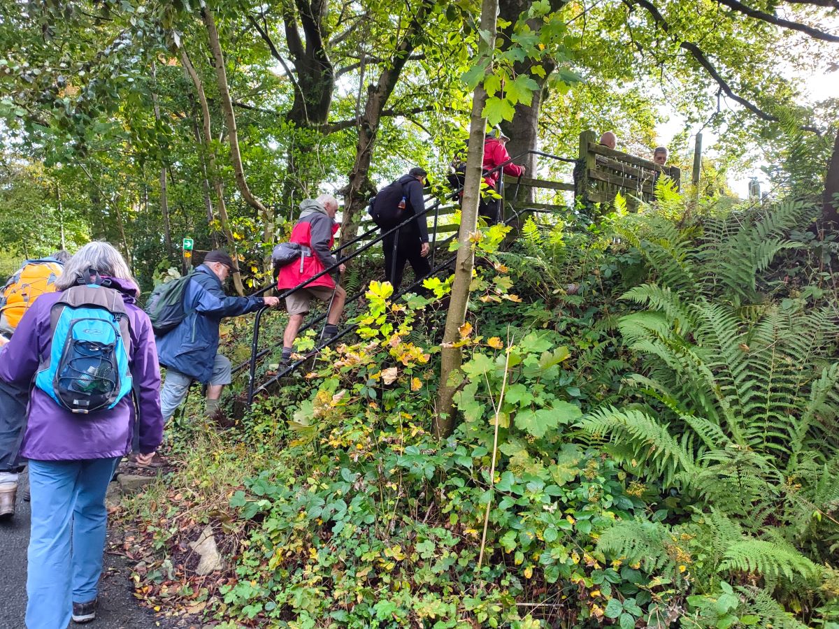
Just beyond the Social Hall there is a stile on the right, and we take this before continuing across fields toward a farmhouse at Seed Hill.
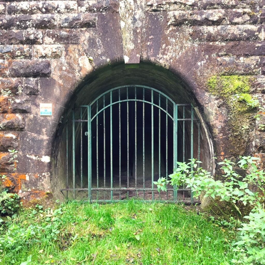
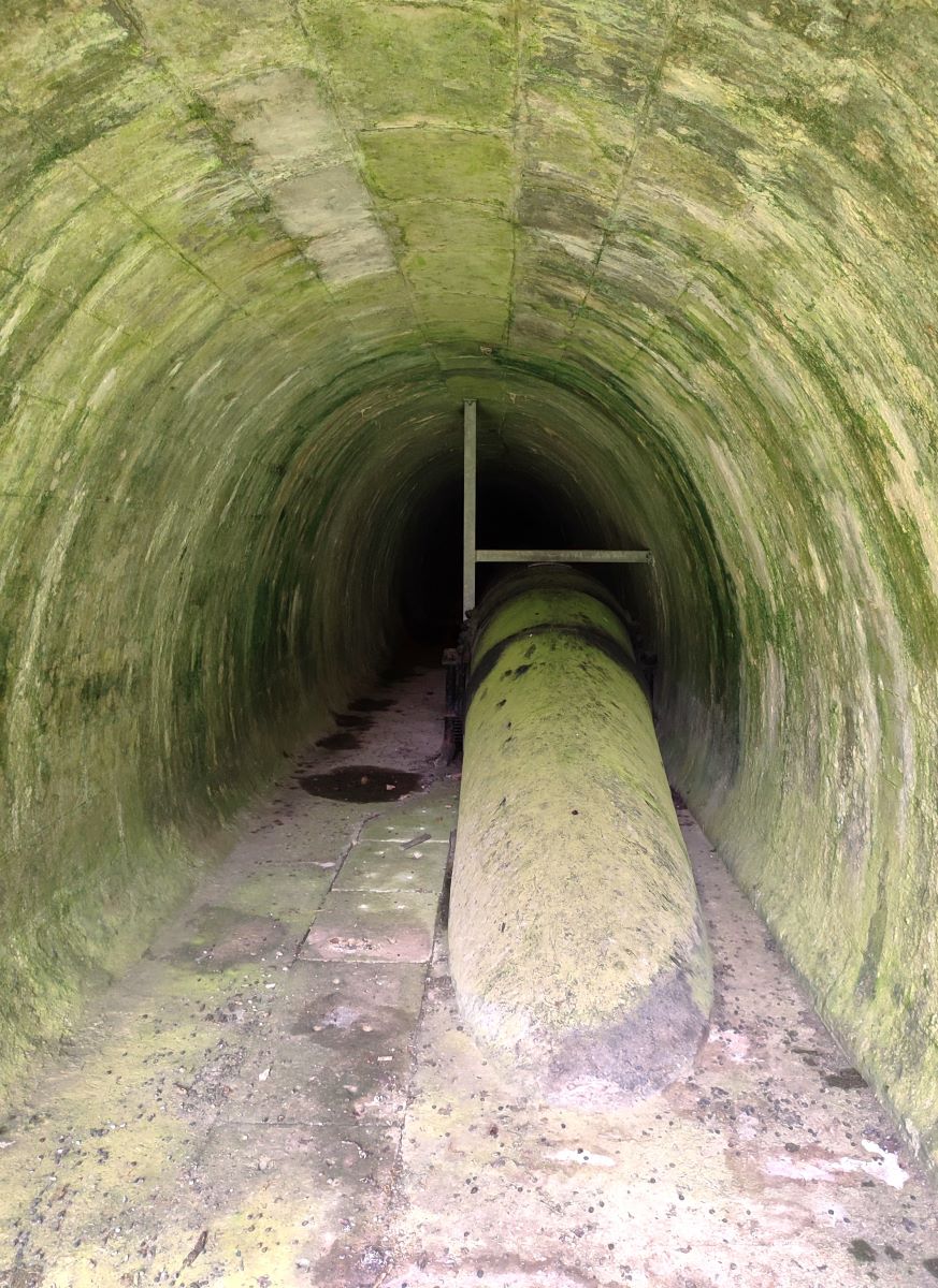
As we approach the farmhouse, we see a rather curious tunnel portal over to our right, and head toward that. The path continues round to the right of this structure, but it is possible to have a look at the entrance which as we approach looks very much like a small railway station. In fact, it is a tunnel through which a large fresh water supply for Blackburn is carried – it emerges from the hillside briefly further round the hill and then goes across the Hodder via an aqueduct – largely hidden from view as there are no adjacent paths.
Our route continues around Seed Hill, heading Southwest, following the contour lines. We notice a series of “manholes” which presumably cover access points to the pipeline, and as we come round the hill need to cross several gates which are unusually large and ornate for such an isolated location – perhaps a reminder of the great pride that went into these grand Victorian infrastructure projects.
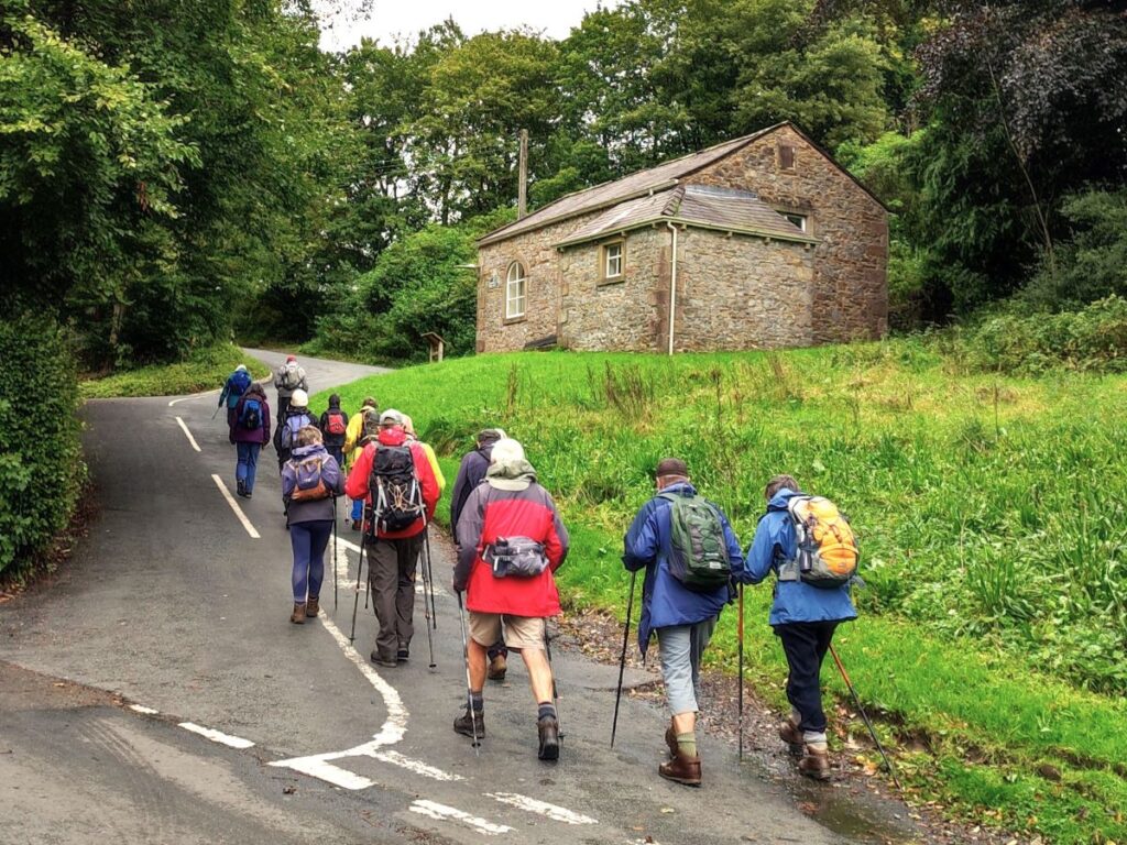
As we progress around the hill, the road that we left at Whitewell gets ever closer, and before long we see a gate onto the road. We go through that gate and then turn left to walk along the road for a short while (about 200m). The road is generally quiet, and visibility is good, but as ever, please take extra care.

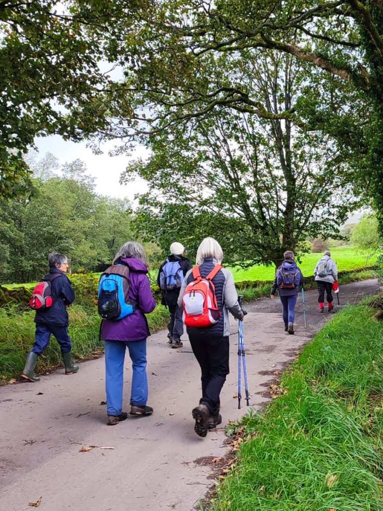
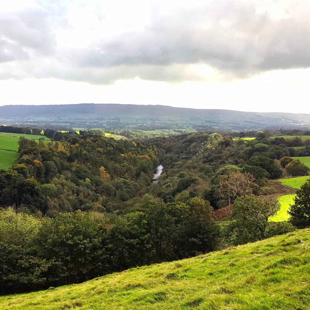
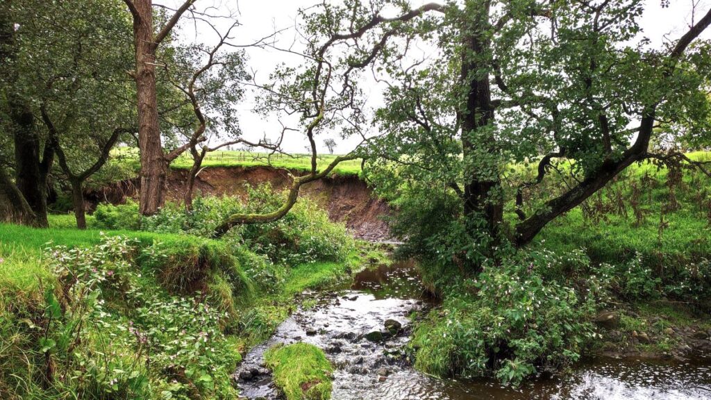
Ahead of us on the right hand side, we see Ing Wood coming up to meet the road, and as it does so, we find a stile into a field with a path running along the left hand side of a small beck. This tumbles down to meet the Hodder – just about where the aqueduct carrying the water supply to Blackburn is. We don’t follow it that far though as our path heads south west, and diagonally across the field parallel to the woodland that cloaks the edge of the Hodder.
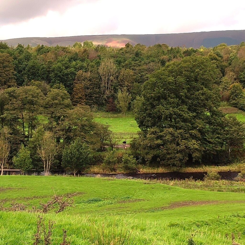
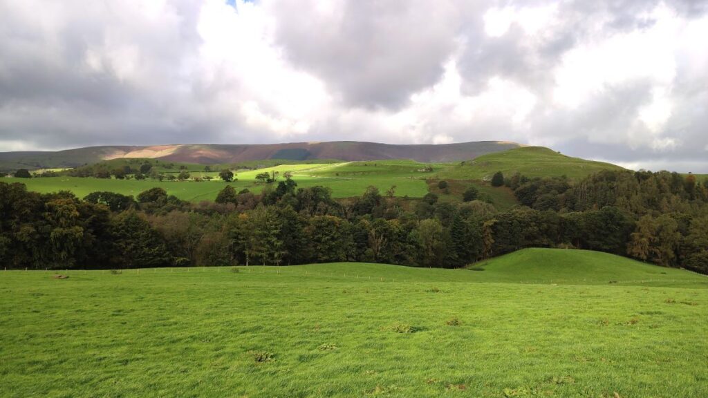
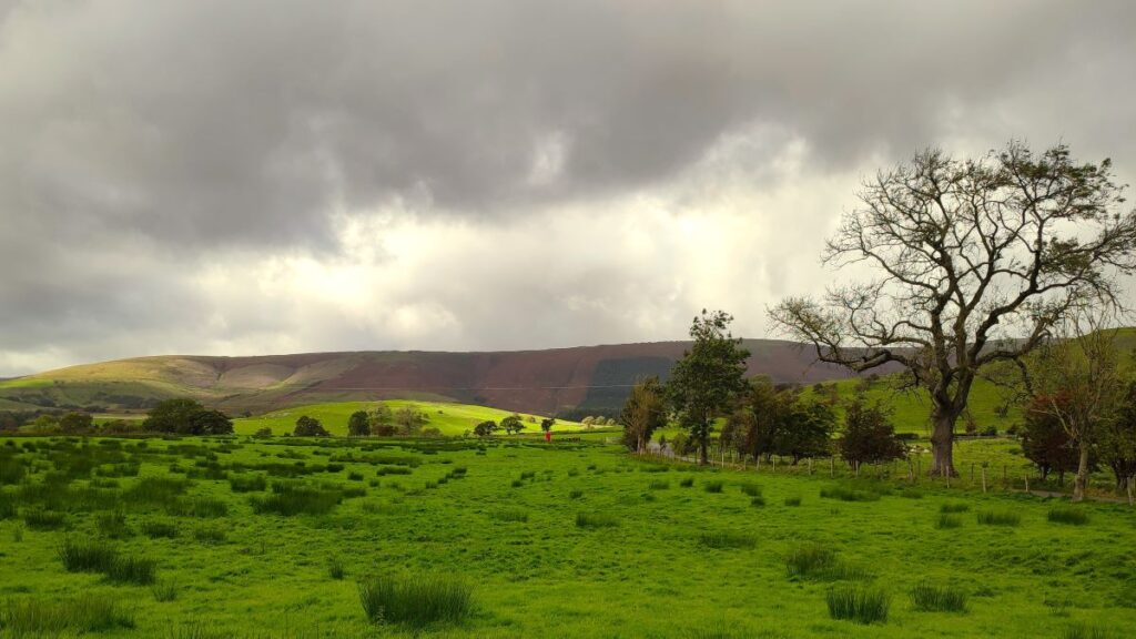
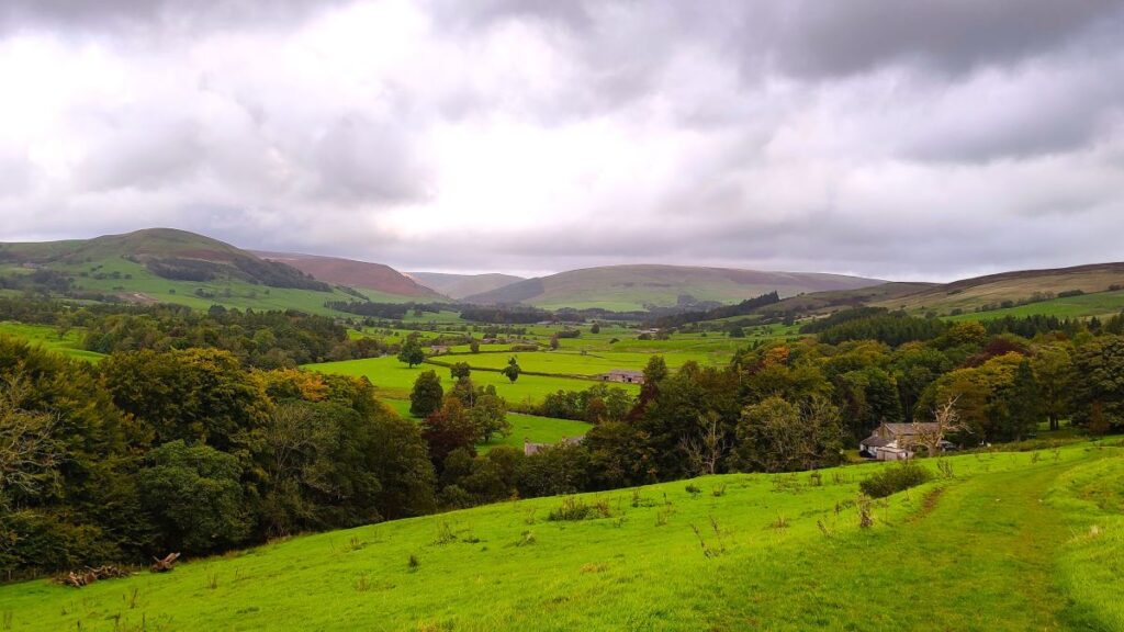
We soon start to get views across the river, and if the weather is clear we will see Bowland Wild Boar Park opposite. The area next to the river houses ostriches – just about visible in the centre of this picture. For more detail about the park – a great day out for youngsters (of all ages) have a look at https://www.wildboarpark.co.uk/
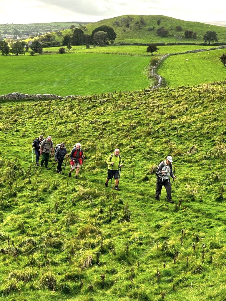
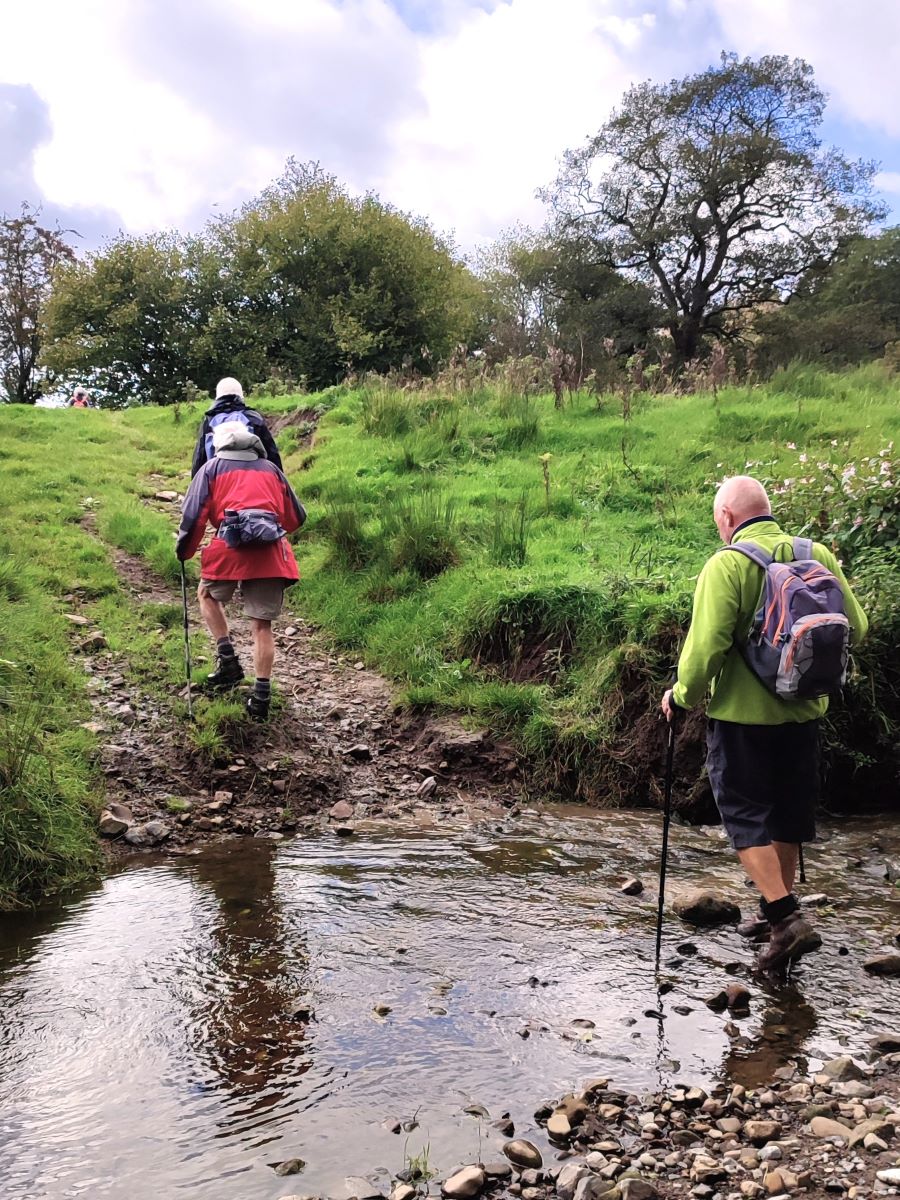
From here we follow the Hodder downstream. The right is way is not on the riverbank but is never more than 200m away from the water, and the path is generally clear with waymarked gates. The path soon approaches the river quite closely and at this point we need to cross a ford over a tributary beck – this will only be an issue in exceptionally bad weather. At the time of our walk the ford was easy crossed even though the stepping stones that feature later in the walk were unsafe.

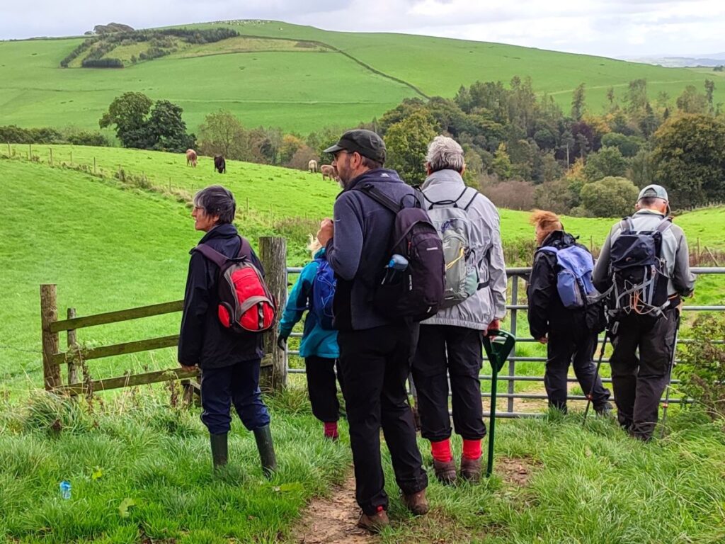
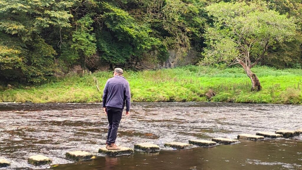
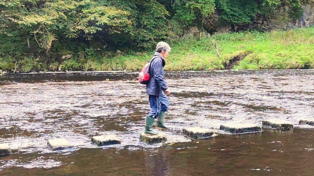
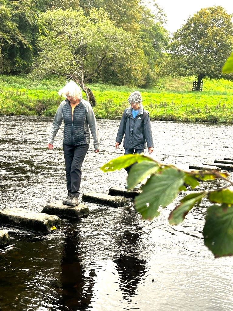
After the ford we start to head away from the river again, crossing a couple of newish wooden kissing gates, before heading uphill to meet a metalled track – this is the access for the farm at Stakes, and we head right along this road as far as the farm and then turn right to either use the stepping stones over the Hodder, or as we were obliged to do because of the water levels, to look at them before finding a safer route.
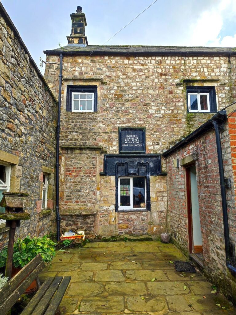
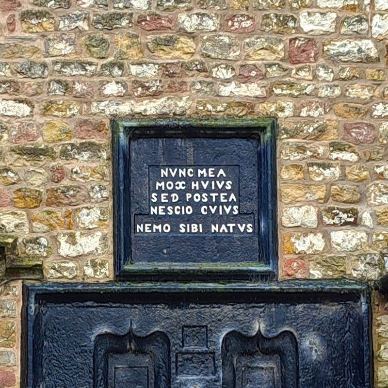
Also worth seeing at Stakes is the rather lovely 17th century grade II* listed farmhouse with an intriguing Latin inscription which (roughly) translates as “my citizens – remember my birth – not now, but afterwards”.
Quite a lot of carving for such a bland message.
If the stepping stones are passable, feel free to cross, then when you meet a minor road, head left, then left again at a junction. In 200m you will see a gate into a field opposite Hodder Hole Wood – where we meet the safer, but longer route that we describe next.
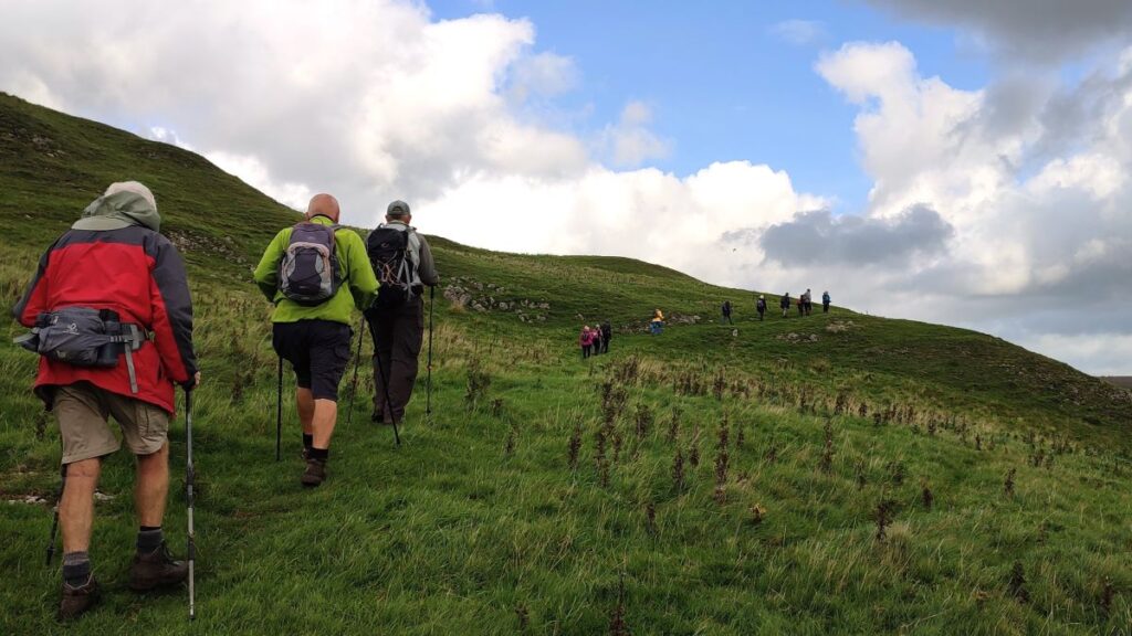
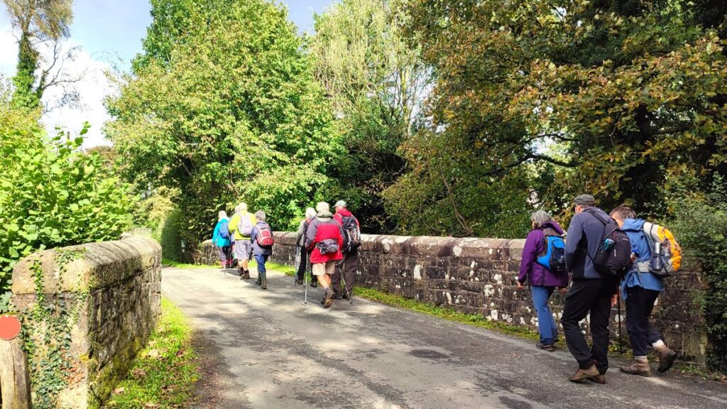
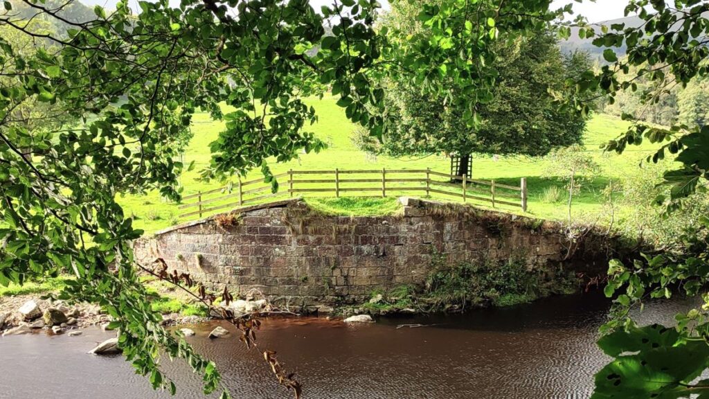
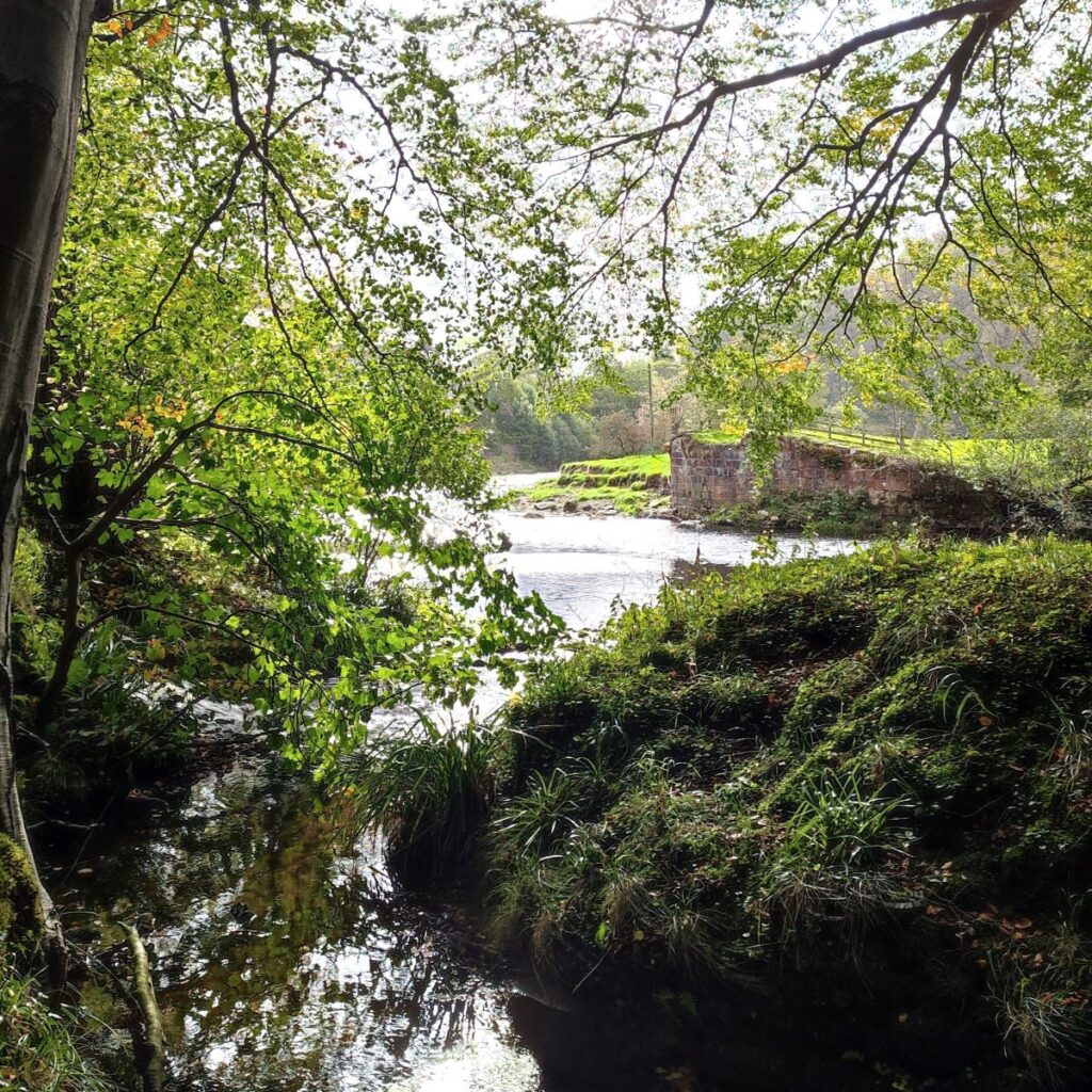
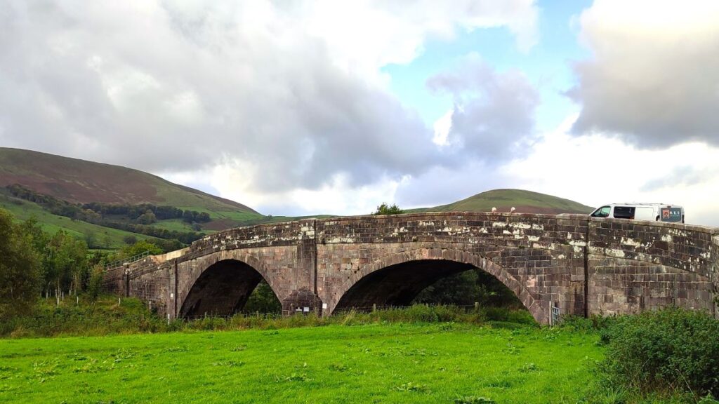
To find a safe alternative to the stepping stones head back the way we came and at the end of the farm buildings take the footpath on the right and then climb steeply uphill – soon gaining excellent views down onto the farm. We are heading South now, and as the field levels off we head for the far corner, and then continue along a clear but largely abandoned field boundary with woodland ahead of us. We follow the edge of the woodland and soon arrive at a stile onto a road where we see Doeford Bridge.
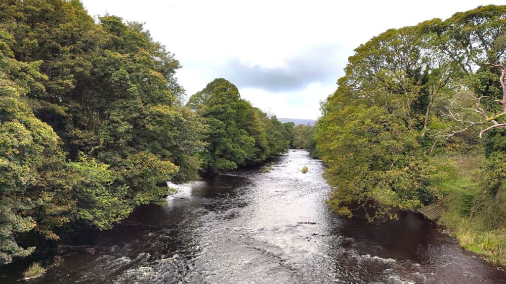
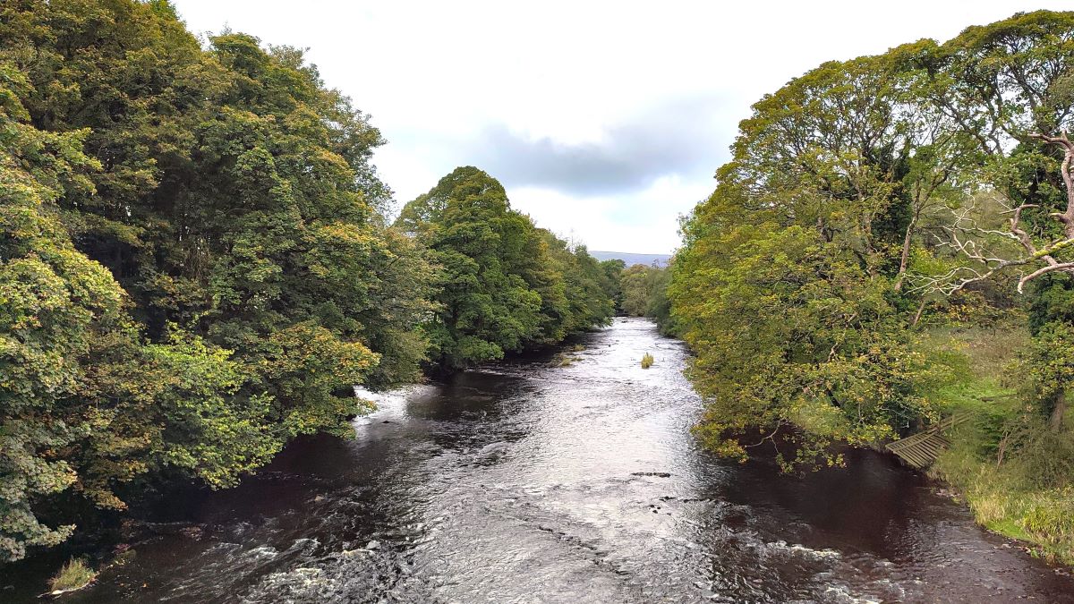
We cross the bridge, pausing to look downstream: Just 300m east of here is the remains of a Roman road, and the point at which that road crossed the Hodder. Significantly further downstream (perhaps 5 km) is the confluence with the Ribble.
We follow the road uphill until we see a second bridge on a sideroad to the right. This one takes us over the curiously named river Loud – a tributary of the Hodder. We now follow this very quiet road for about 800m looking out for a footpath leaving the road on the left. This is the point where we re-unite with the route over the stepping stones.
We now head along the left hand side of the meadow to find a stile at the far end– where we find a road, but then continue on the track opposite.

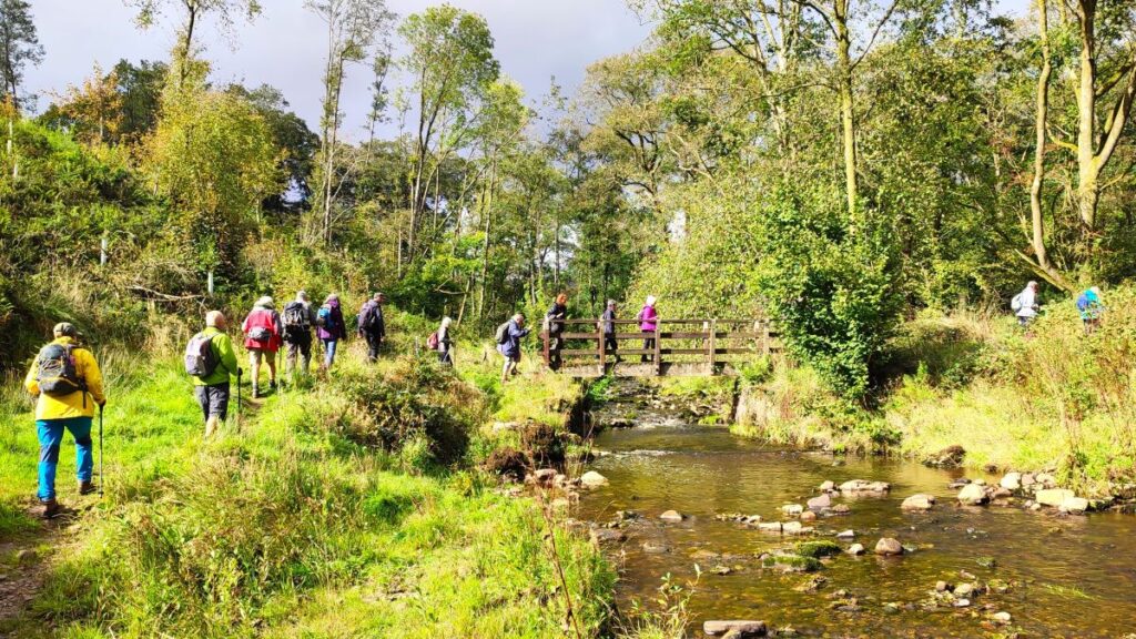
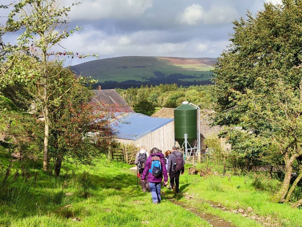
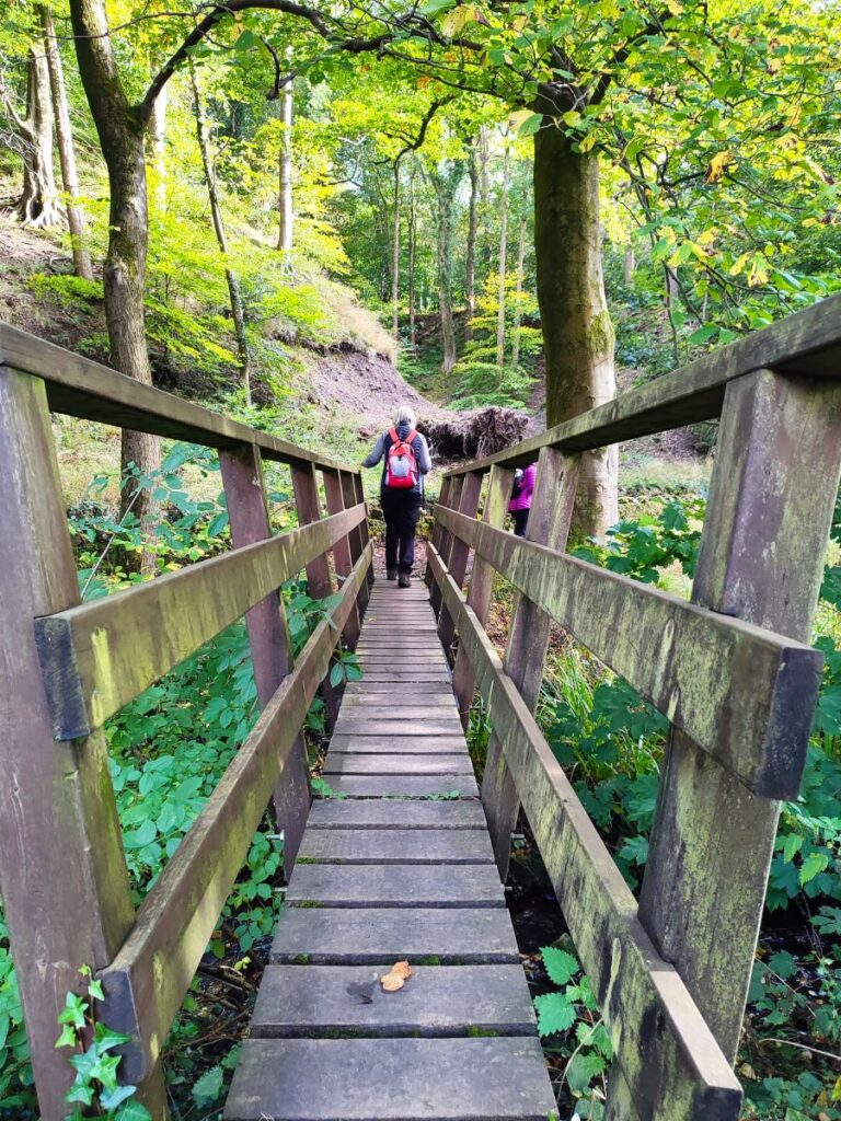
This lane continues North and then bends round to the right to head toward Knot Hill enjoying great views over toward Pendle hill on our right before we come to a barn conversion on the left and a Limekiln on the right (easily missed). We take the track to the left of the barn conversion and follow the lane down to a cluster of buildings at Lower Greystoneley – where the road goes steeply downhill to a ford. This can be slippery, so we recommend using the wooden footbridge slightly upstream – before continuing along that lane to Higher Greystoneley, where we follow the track up to a minor road.
At the road we head right, noticing the signage to the Wild Boar Park. We don’t go that far though – just 25m down the road we see a stile opposite and take a path through the field toward the farm at Fair Oak. The path continues to the left along a track through the farm to emerge next to the farmhouse. At this point we head left and then before we arrive at the next house see a track on the right – this is our onward route. Navigation on the ground is not as complex as the description suggests, but if in doubt download the GPX.
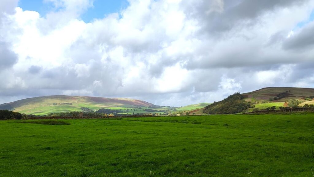
We are now on a path parallel with the Hodder – heading upstream, and on the opposite side of the valley to the first leg of the walk – in fact we can see the line of the water works and the pipe emerging at a couple of locations, and as we look down the route of the river, we may get a glimpse of the aqueduct.
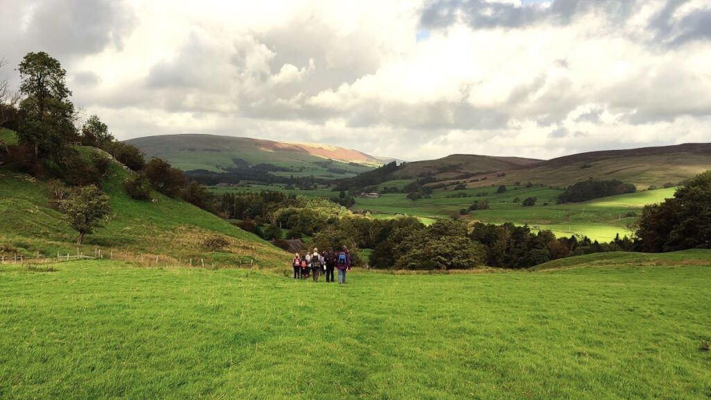
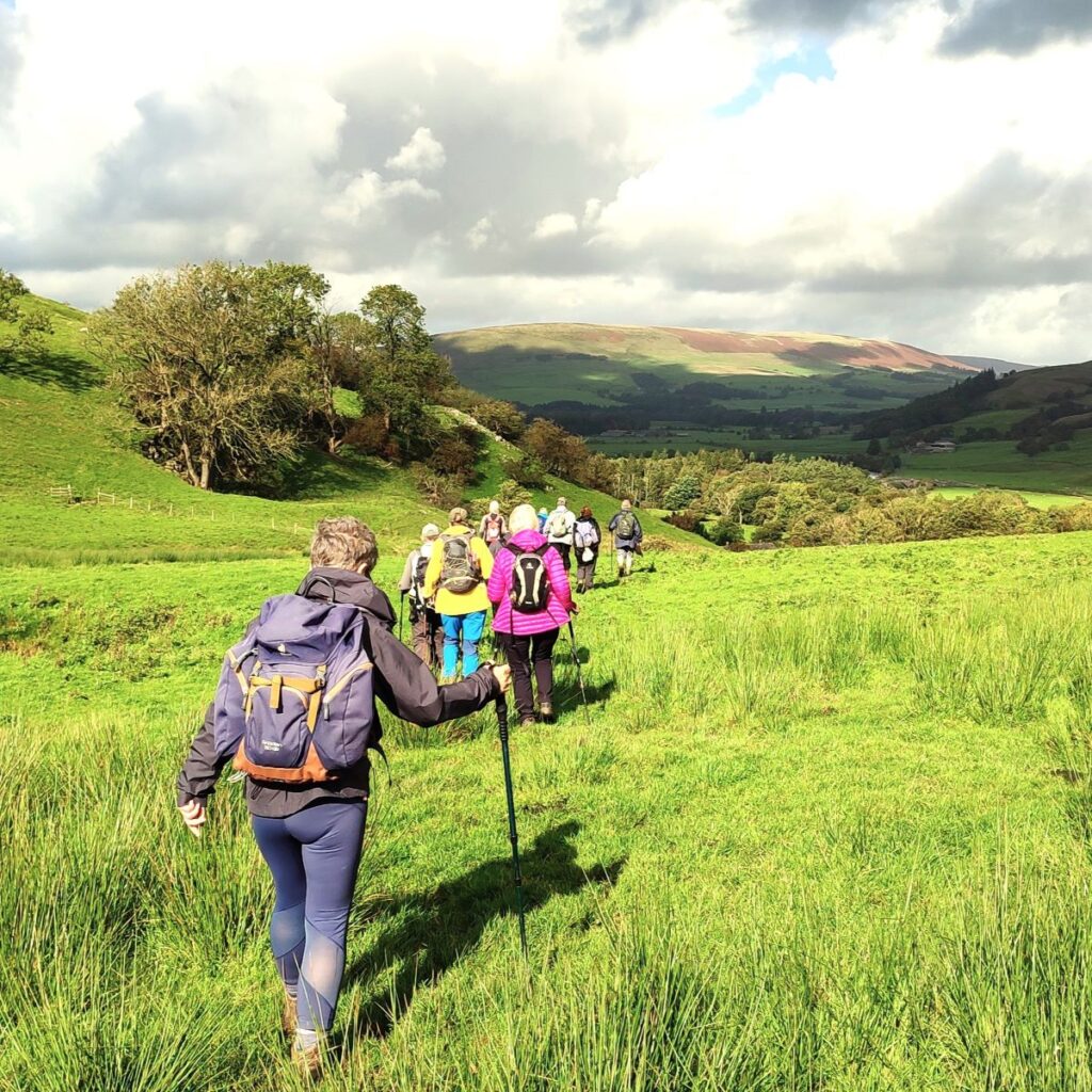
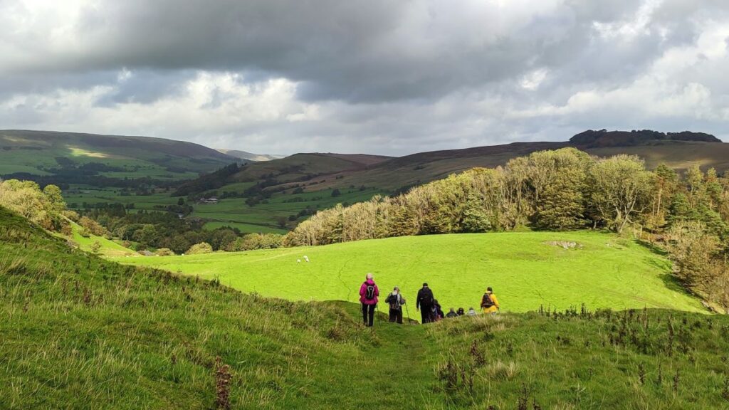
We now head consistently Northeast gradually skirting round New Laund Hill, until we start to head downhill with great views ahead over New Laund farm toward Dunsop Bridge. Not part of our walk, but potentially worth diverting for here, are a group of caves known as The Fairy Holes – there is strong archaeological evidence that these were Bronze age dwellings. The grid reference is SD 6553 4677.
Click here to see a YouTube video featuring Stuart Maconie talking to Dr Rick Peterson of UCLAN in the caves.
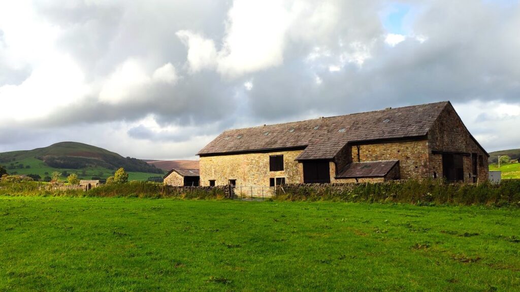
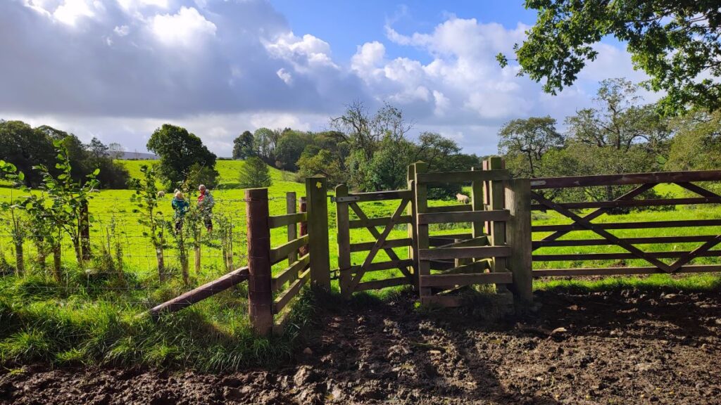
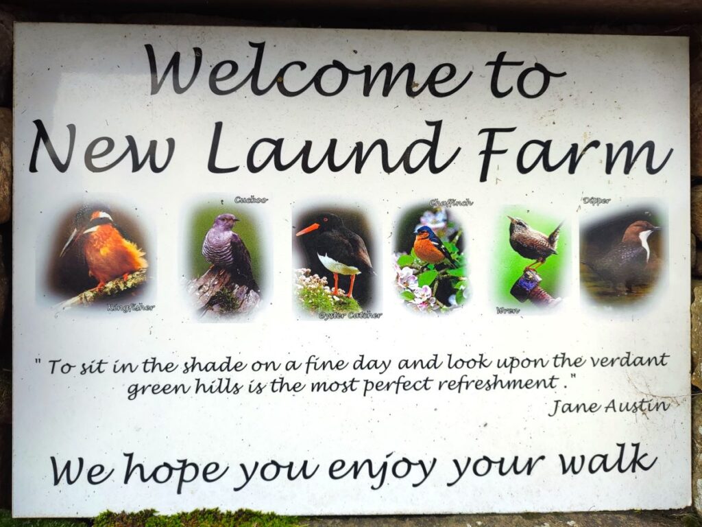
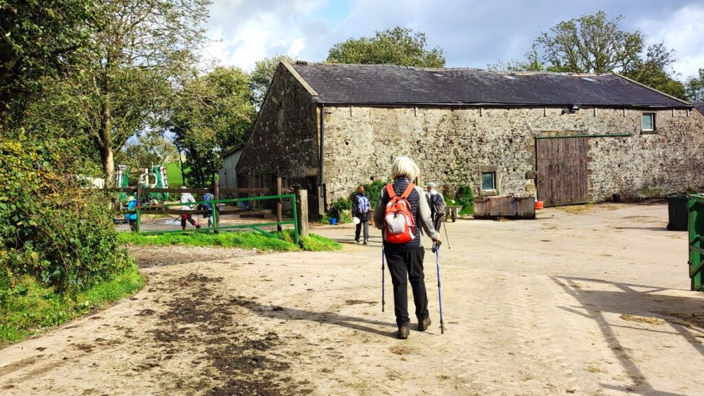
Our next milestone is New Laund Farm, where we are greeted by high quality information boards that make walkers feel very welcome. We have a choice here:
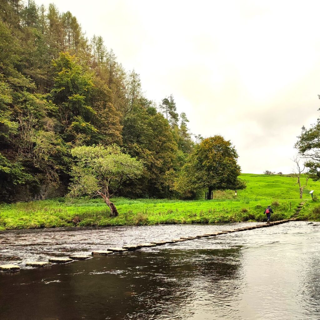
- If the river is low, head right at the farm and down the left hand edge of the woodland to the stepping stones over the Hodder – then back up to St Michaels.
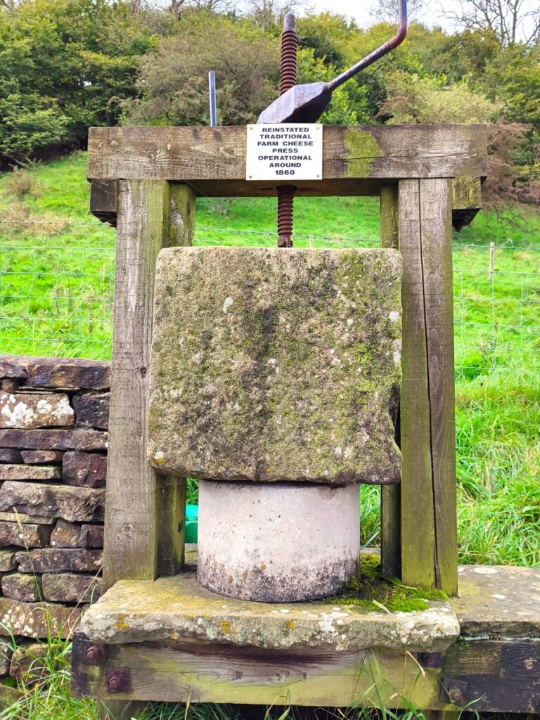
- If the stepping stones are not favoured – or you just want a longer walk, head left past the farm buildings, then the cheese press and on to a Y-junction in the lane: We head right and follow the track up to a minor road.
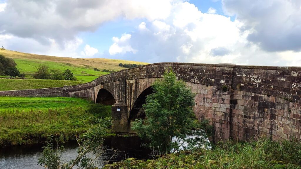
At that road we turn right and follow it down to Burholme Bridge – a late 18th century Grade II listed structure.
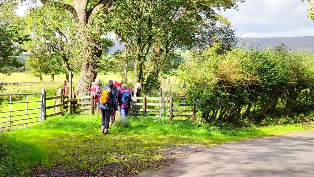
We cross the bridge and follow the road round to the right heading toward Whitewell. There is no alternative to road walking for about 400m, but we soon see a stile on the right giving access to a permissive path though the meadows at the side of the Hodder – the path is clear and essentially just follows the line of the road, but safely segregated from the traffic.
We follow this path all the way back to the Inn at Whitewell where we rejoin the road to end the walk at St Michaels, and if you didn’t use the stepping stones on your route we recommend a brief diversion to see them – they are clearly signposted from St Michaels.
Click here to see a YouTube video of Bentham Footpath Group members crossing.