Jump to . . .Step by Step | OS Map | Downloads | Gallery | Fly through
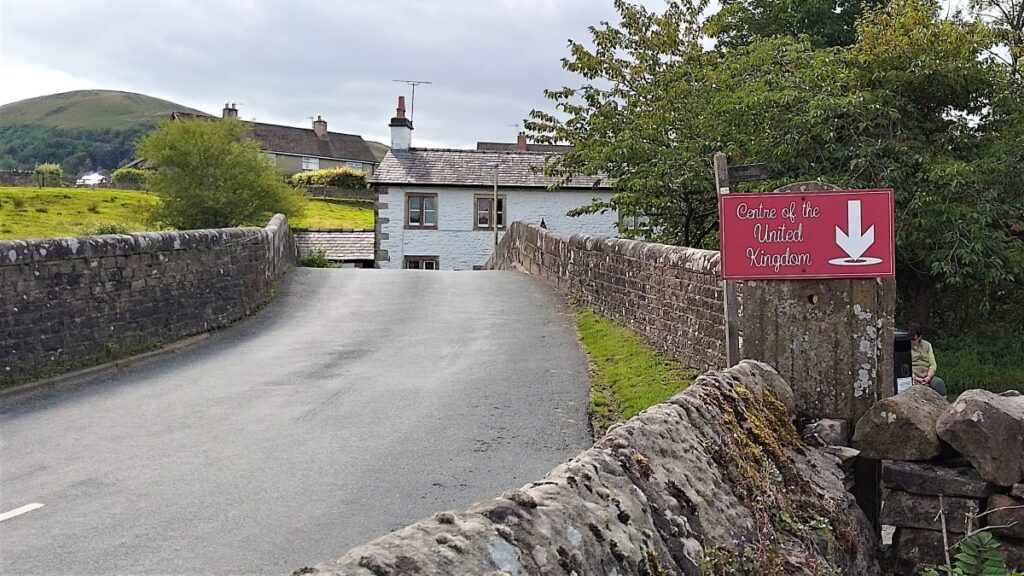
Within the Bentham Footpath Group, we tend to think of ourselves as living “up North”, and indeed we do – but only by a few miles: It turns out that the geographic centre of Great Britain is (according to the Ordnance Survey) close to Dunsop Bridge. Given this curious fact, how can we decline the temptation to start a walk right from the centre of the country?
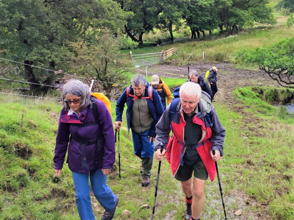
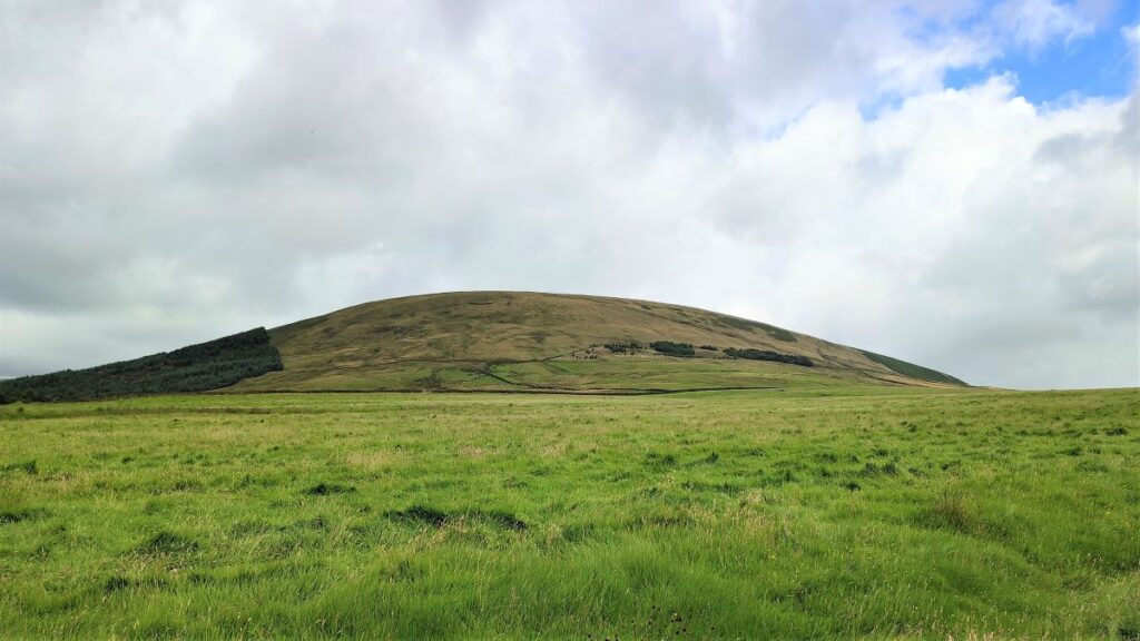
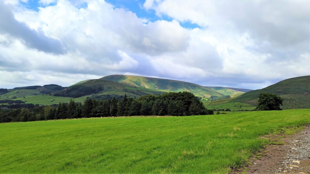
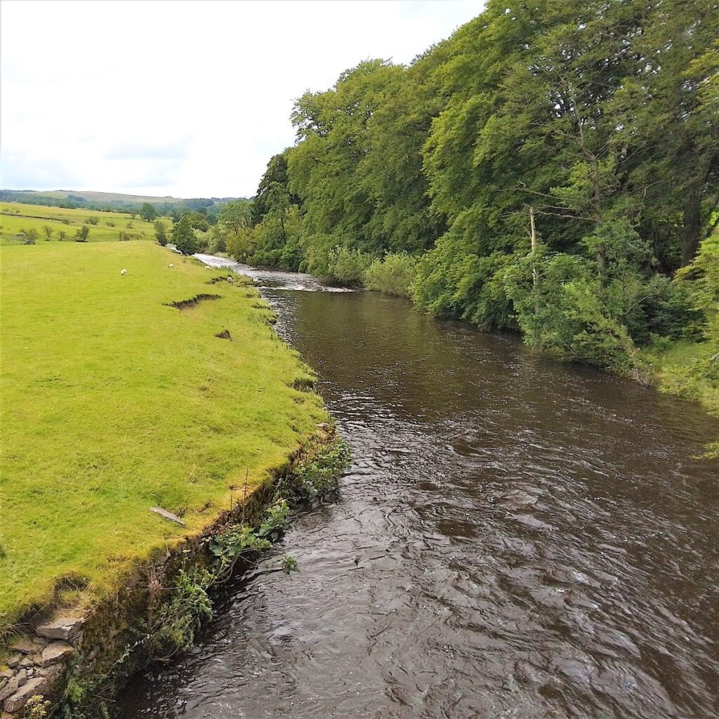
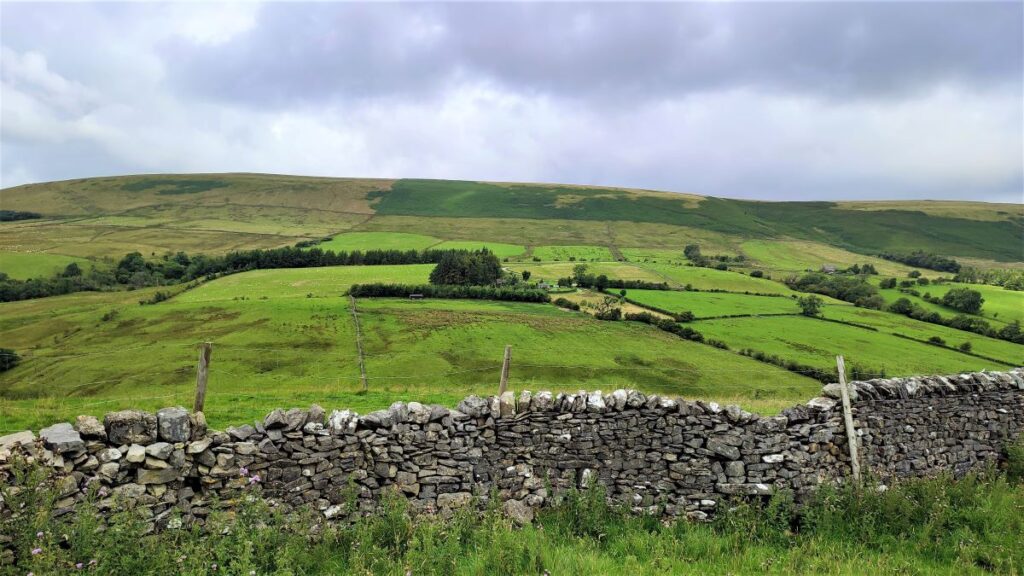
That curiosity aside, Dunsop Bridge is a great place to walk, and is often described as being at the heart of the Forest of Bowland. This gentle walk heads out from the village up the banks of the Dunsop before striking out to the isolated farms at Beatrix. From there, we cross Rough Syke at the bottom of Oxenhurst Clough and then after a brief but steep climb, follow green lanes and a very minor road to the lovely village of Newton where we pick up the Hodder, to follow it downstream back to Dunsop Bridge.
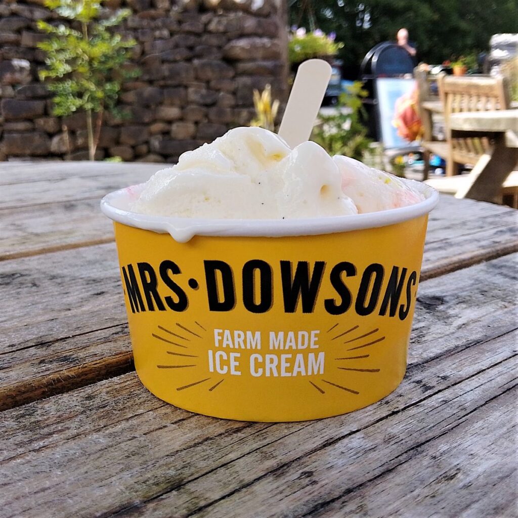
En route, we follow the Ribble Valley Jubilee Trail over Giddy Bridge, and then past Knowlmere Manor, and Thorneyholme Hall where we see the confluence of the Dunsop and the Hodder. The walk ends back at Dunsop Bridge where ice cream beckons.
We recommend that you take waterproofs on this walk – be aware that Dunsop Bridge holds the record for the most intense rainfall in the UK with 117mm (4.6 in) falling in just 90 minutes on 8th August 1967.
- 7.6 miles / 12.3 km
- 234 m ascent
- Moderate walk
Step-by-Step
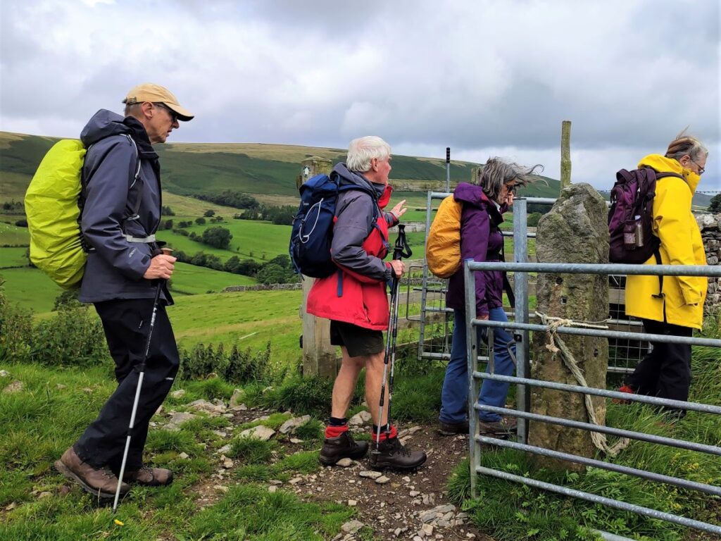
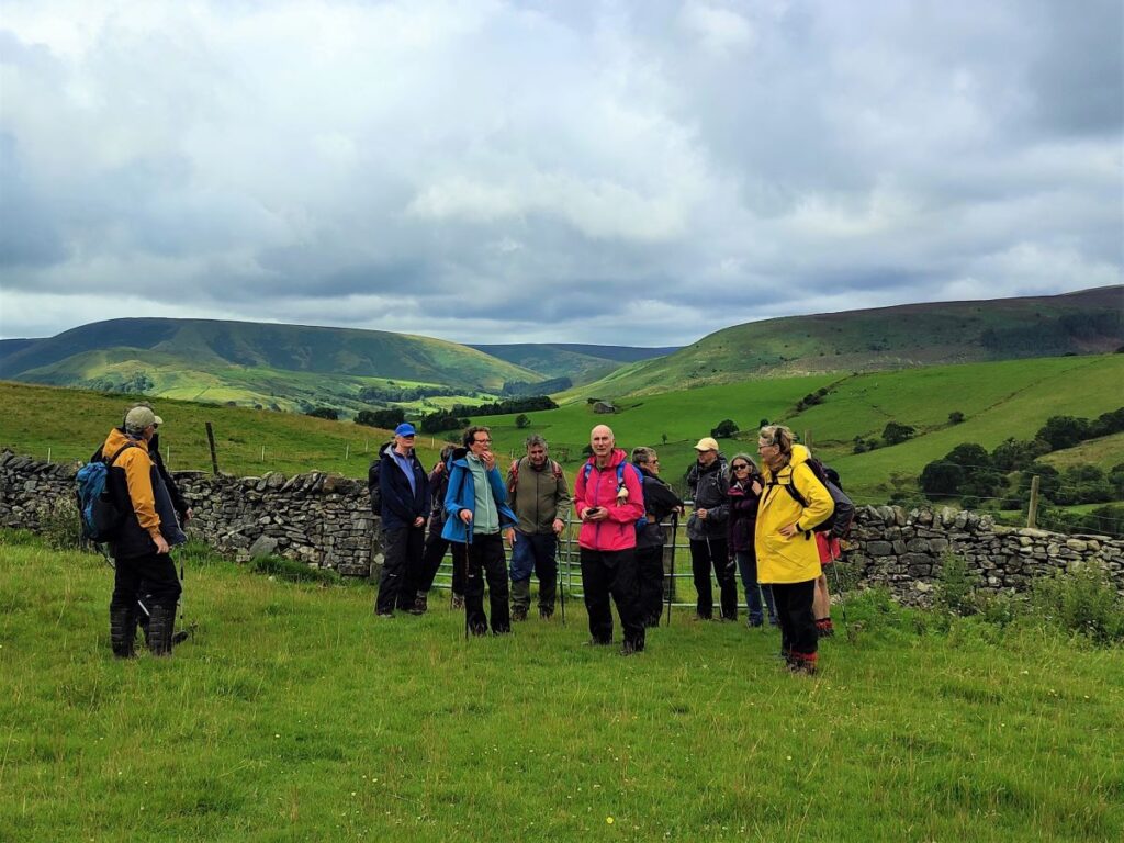
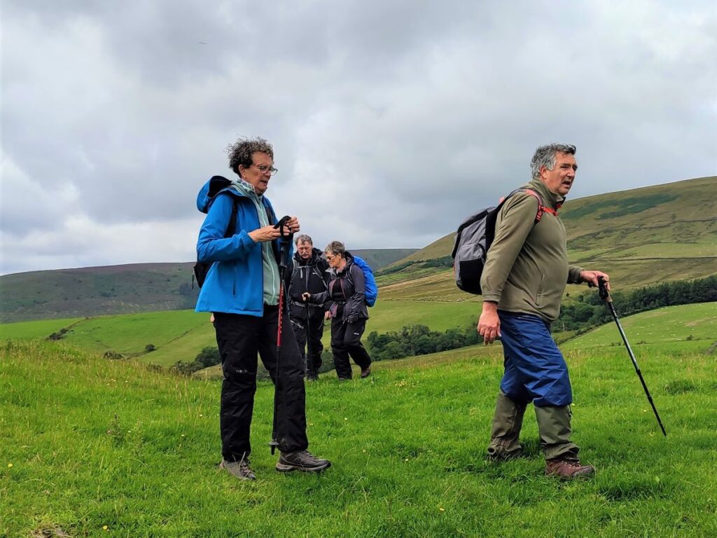
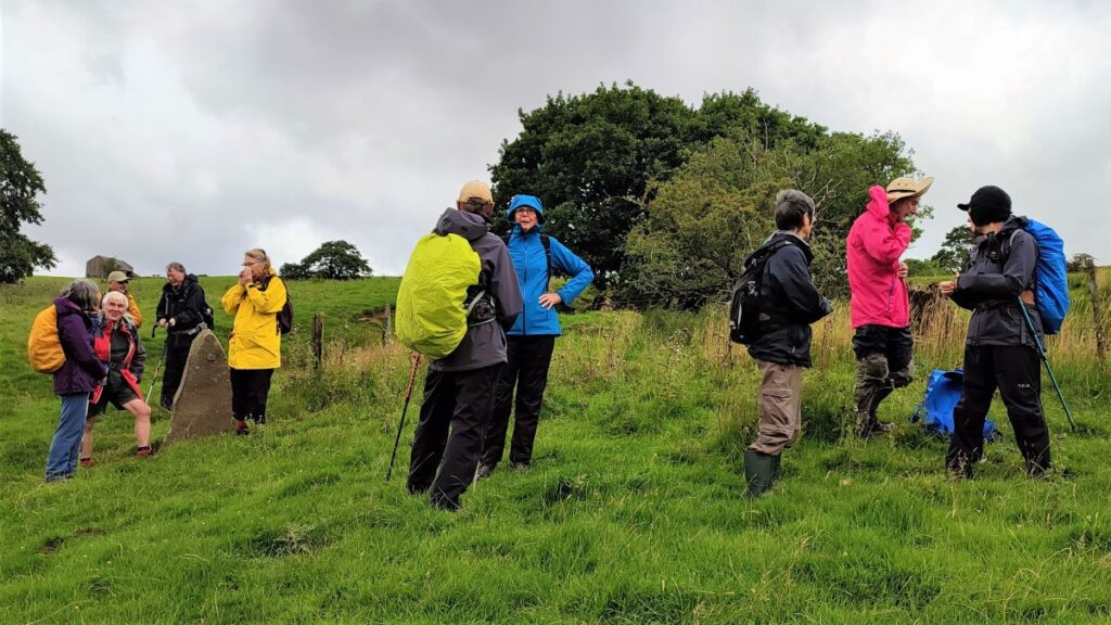
Dunsop Bridge may well be the geographic centre of Great Britain, but it’s far from a hub as far as roads are concerned – that’s a good thing in many ways because it means that you will find this excellent route less crowded than walks in “honeypot” locations.
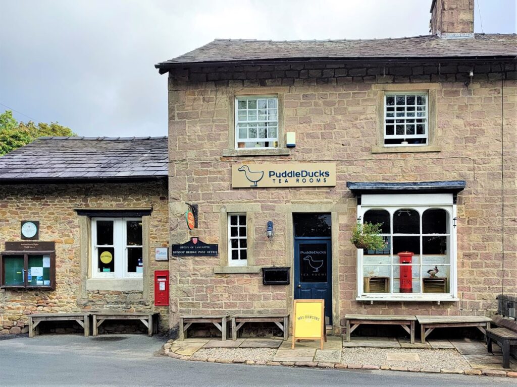
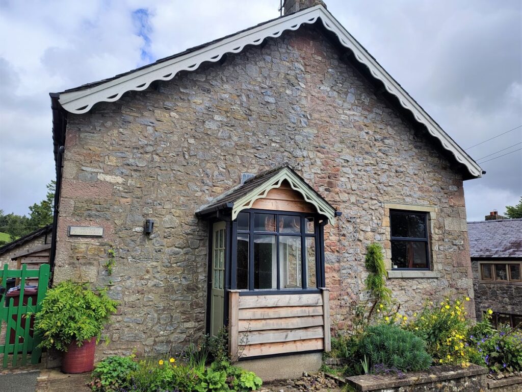
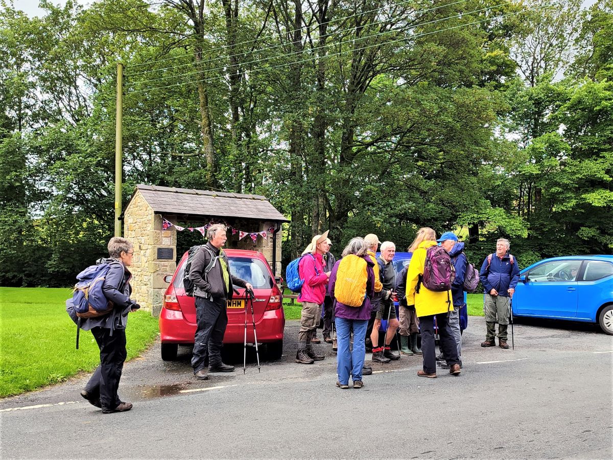
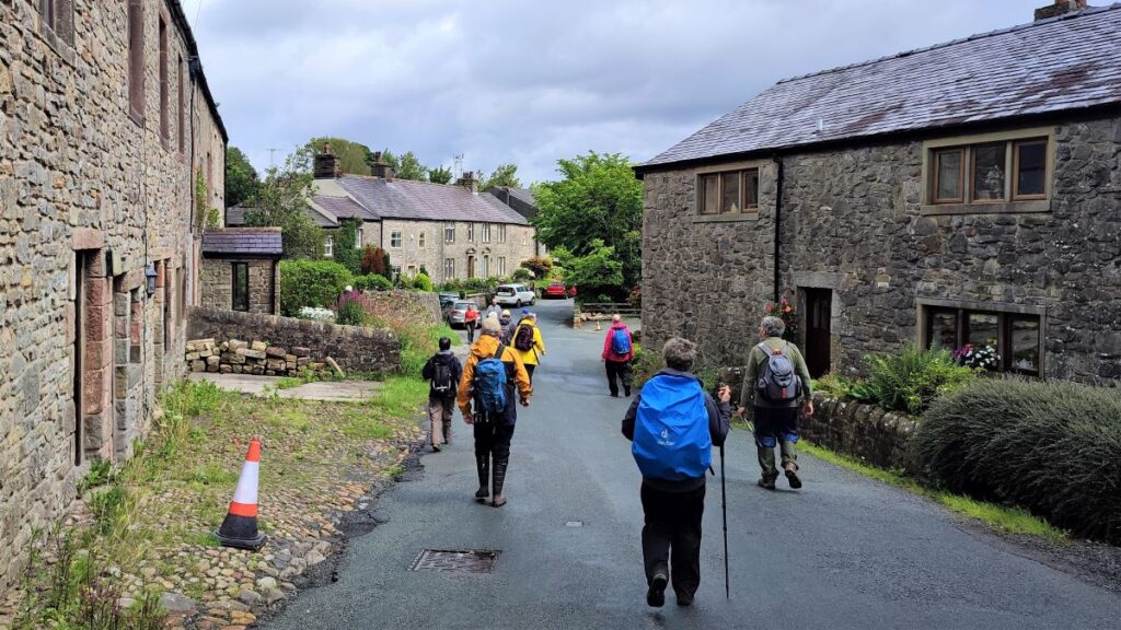
From Bentham, the obvious route to Dunsop Bridge is via Slaidburn, and then Newton. If you are travelling from elsewhere then the postcode for the (recommended) Puddleducks Tea Rooms in the centre of the village is BB7 3BB. If you prefer what-3-words as a navigational tool, then the tag is island.herring.evolution, whilst the OS grid reference is SD66035007. There is a car park, with toilets, in the centre of the village – or if you prefer there is limited roadside parking – but as ever, please be considerate to residents.
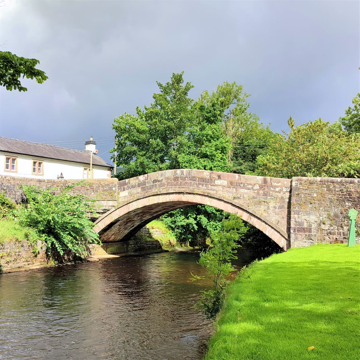
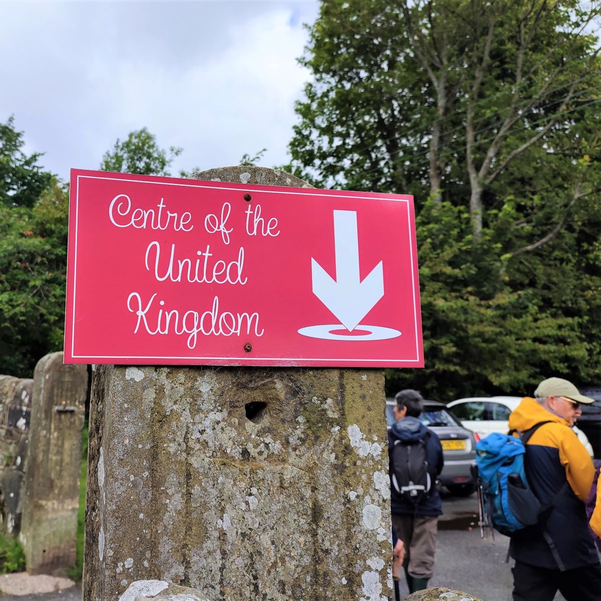
From the village green, and with your back to the river, you will see the tea rooms opposite and Dunsop Bridge just to your left. Have a good look at the bridge and notice the sign that indicates the geographic centre of the United Kingdom, which by a tremendous piece of good luck happens to be precisely where the footpath up the banks of the Dunsop leaves the main road. There are a couple of problems with this locally erected sign though – the first is that the text should read “Great Britain” not “United Kingdom” and the second is that it’s just wrong – the point is about 7 km away. Click here to see an interesting explanation from the Ordnance Survey.
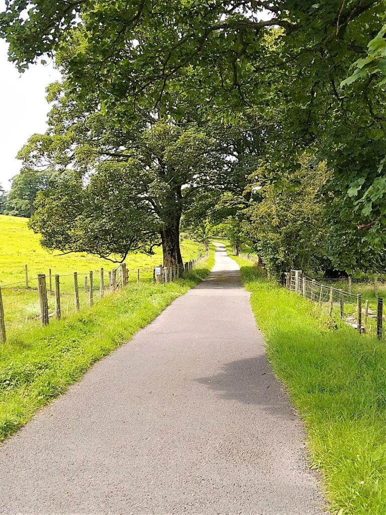
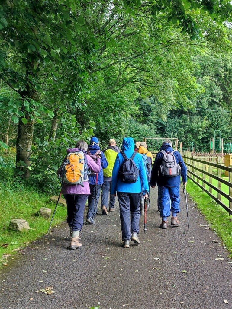
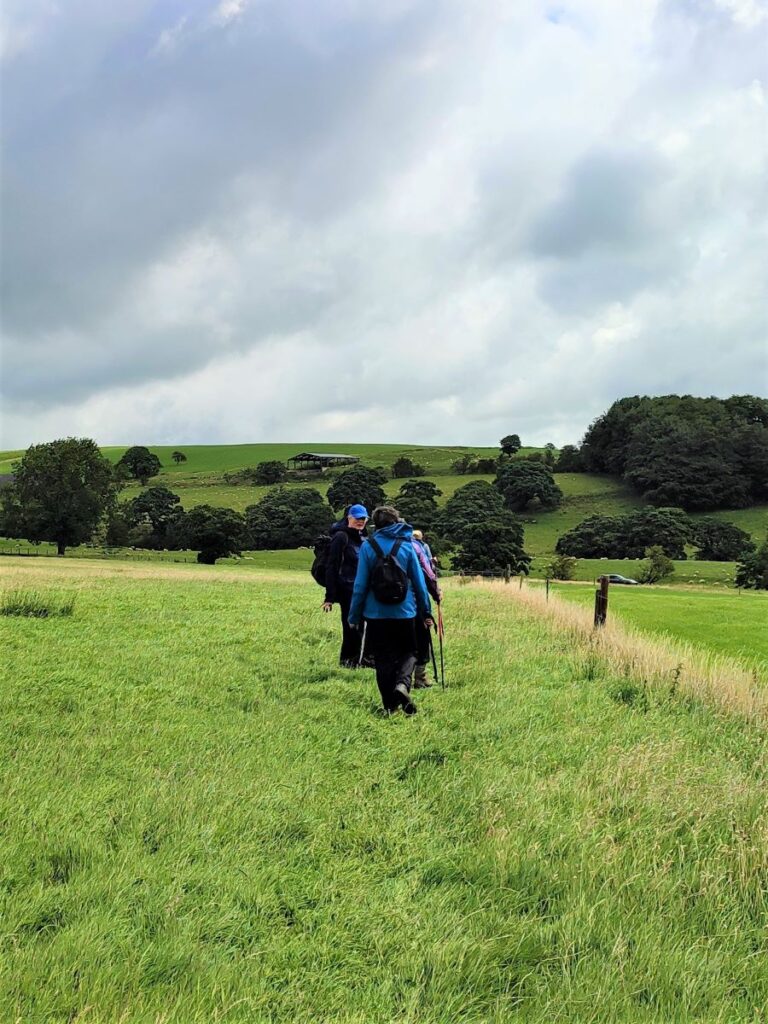
We head out on the marked path, initially following the right hand bank of the Dunsop, and passing a well maintained children’s play area before we head out into more open land.
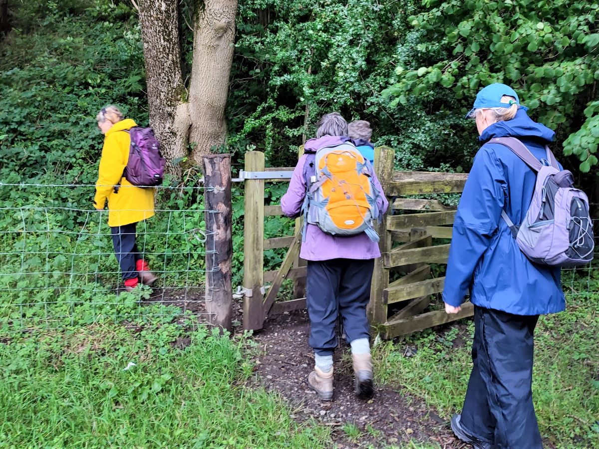
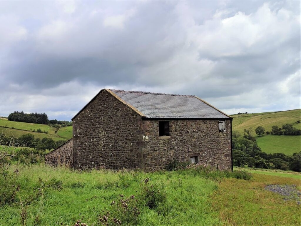
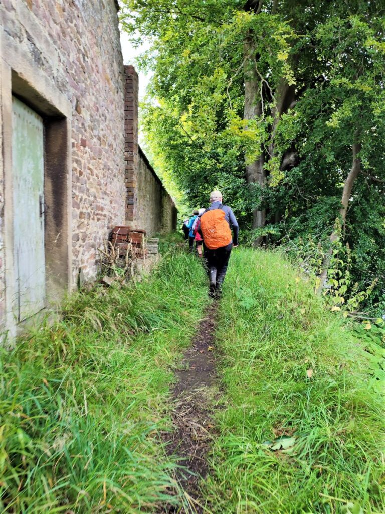
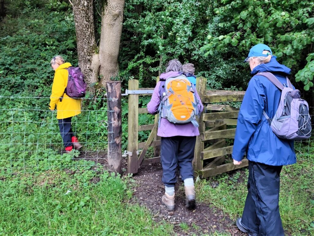
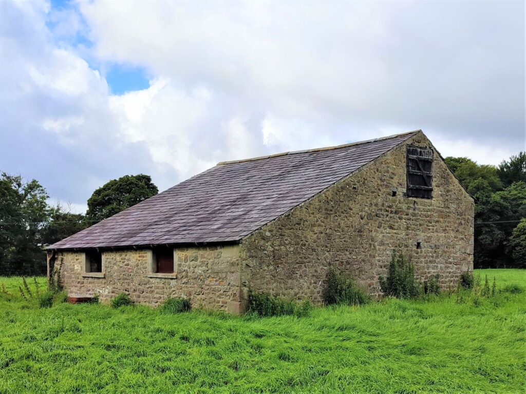
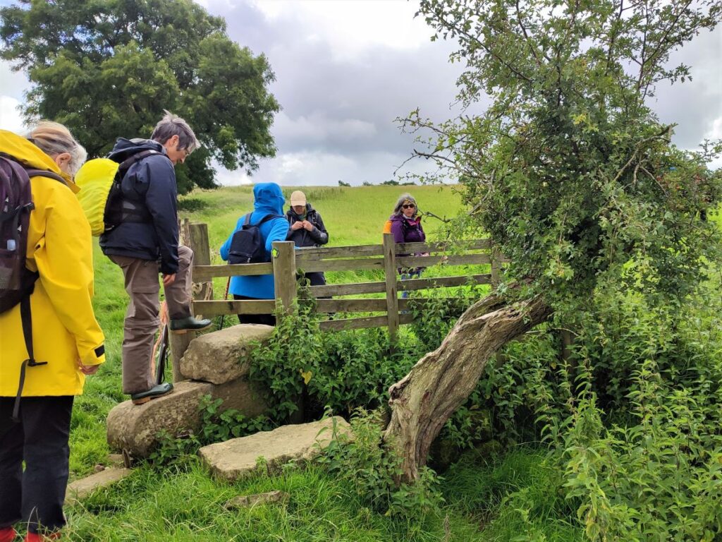
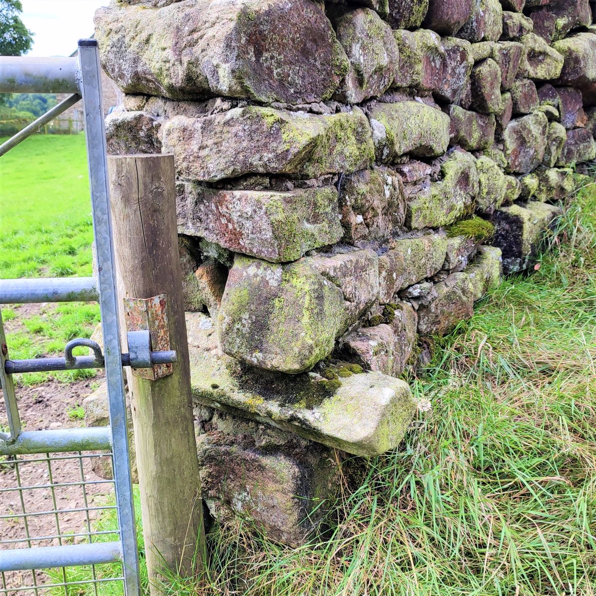
We pass a barn on the left and head toward a cluster of buildings straight ahead – we are still on a level, metalled path at this stage, although Staple Oak Fell looms over us on the left, reminding us that sooner or later we will need to work a little harder. The path continues around the left of the buildings and then heads into woodland. At this point we need to look out for the gate into the woods on the right (see photo) to take us uphill toward Beatrix. The track we started on continues as a right of way crossing the Dunsop, so if you find yourself at a river crossing, you have missed the path to Beatrix and need to reverse a little.
Our path now heads through the woods and then emerges back into open land heading uphill – note that the OS map shows the path going slightly to the left across the fields, whilst the route on our GPX keeps us at the field edge – both work, but our version is easier walking and more considerate to the farmer.
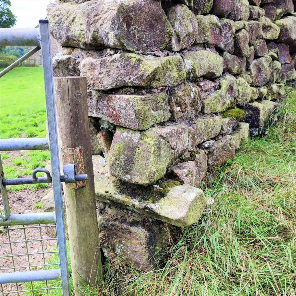
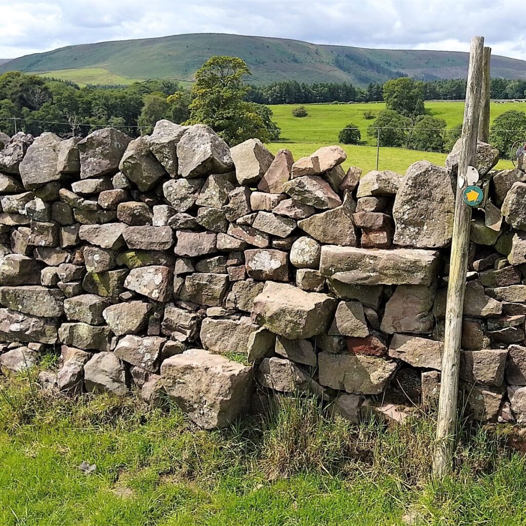
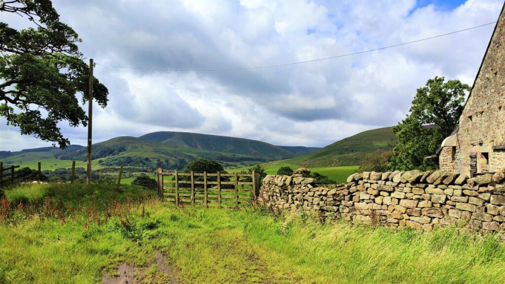
We soon arrive at a metal gate onto a tarmac lane where we turn left and head up to Beatrix: Originally called Battrix, and part of the parish of Slaidburn, this was once an important stock-rearing centre and small hamlet. Markets were held here in the 17th and 18th centuries, but by 1822, census data shows that it consisted of just 2 farmhouses. Look for signs of recycling of dressed stones and mullions in the drystone walls that hint at a more populous past.

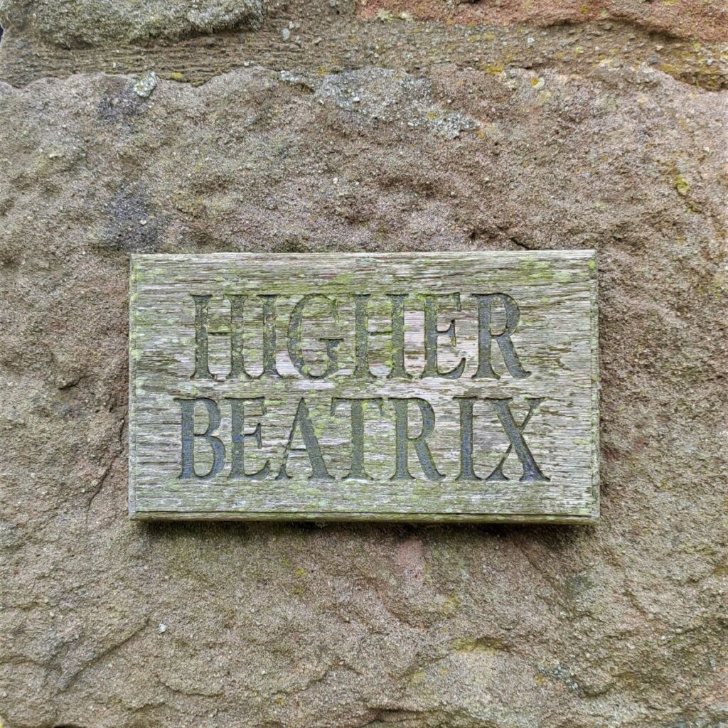
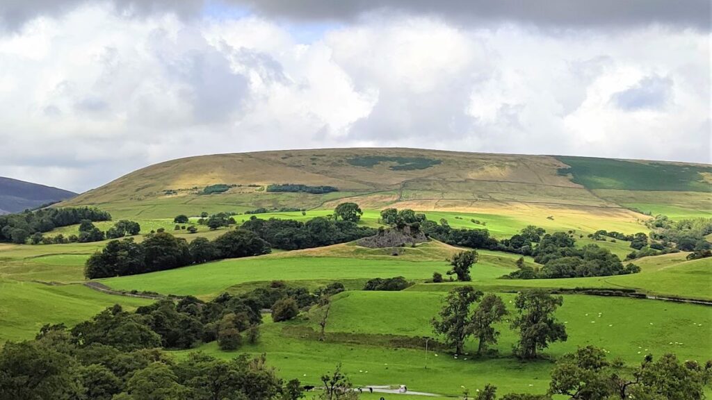
We first arrive at Lower Beatrix, and see Beatrix Fell ahead and to the left of the road. We continue on the road which curves round to Higher Beatrix where we walk to the left of the farmhouse and then head out along a clear path toward an old barn known as Back of Hill Barn. As we head that way, we get great views to the South toward Birkett Fell.
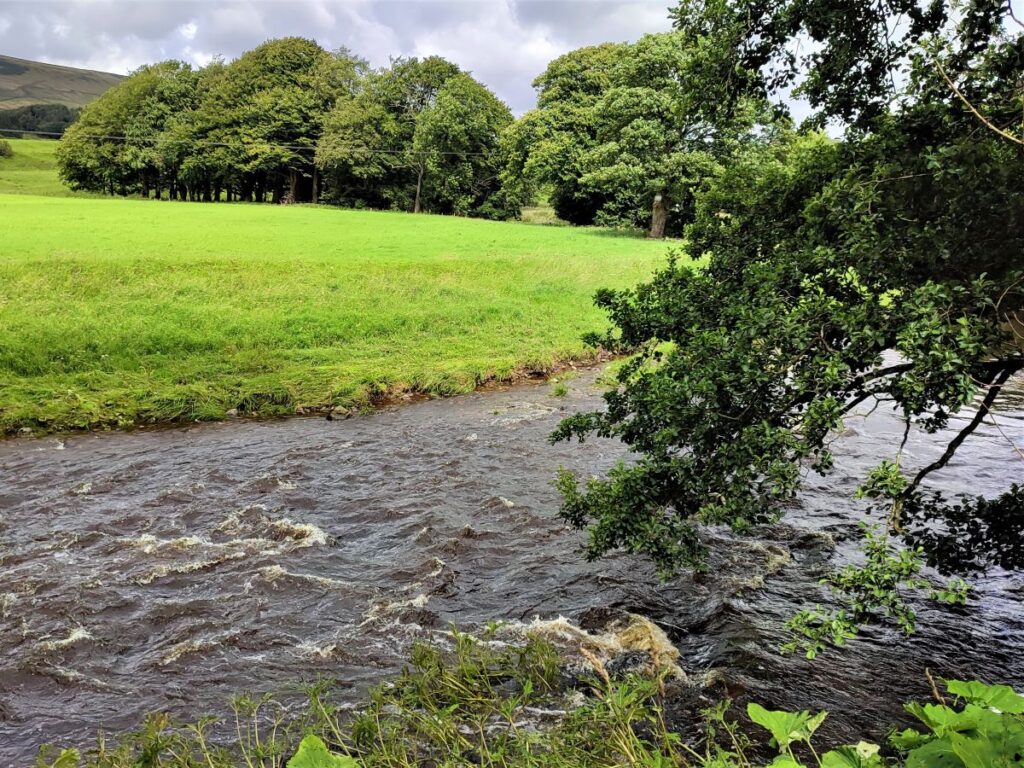
Beyond the barn, the path heads Northeast, and gently down to the corner of a field where we cross Rough Syke before starting a steep, but reasonably well surfaced climb up the opposite side of the valley at the bottom of Oxenhurst Clough.
We see another derelict barn ahead (Rough Syke Barn) and we use that as our next landmark. We pass to the left of the barn, and then need to take care, because the path forks. Our route is to the right heading uphill, the less used path to the left follows the contours and heads to Brunghill Moor where it eventually meets a minor road. Our route also meets that road – but further down, so if you take the wrong route here, or simply fancy extending the walk, then all is well – just remember to go right when you get to the metaled road.
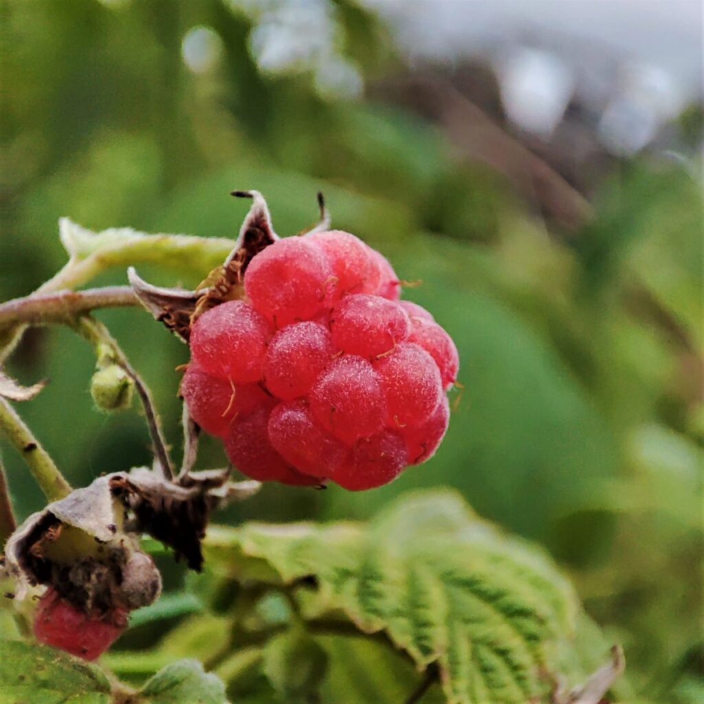
From the point where the path forks, we keep right and follow the path round the edge of fields until we arrive at a gate into an old green lane referred to on the OS map as Bull Lane – this an excellent spot for foraging, with raspberries in profusion in the early part of the year, and blackberries and hazelnuts later in the season.

We follow the lane until it meets a minor road where we turn right. The road is very quiet, but care is still need as we head southeast toward Newton. No more than 120m from the junction of the road and Bull Lane we cross the route of a Roman road – though its not particularly obvious. This heads North to Low Bentham and then through to Cowan Bridge. An interesting interactive road map of Roman roads can be found by clicking here, and a list of Bentham Footpath Group walks that intersect with Roman roads can be found by clicking here
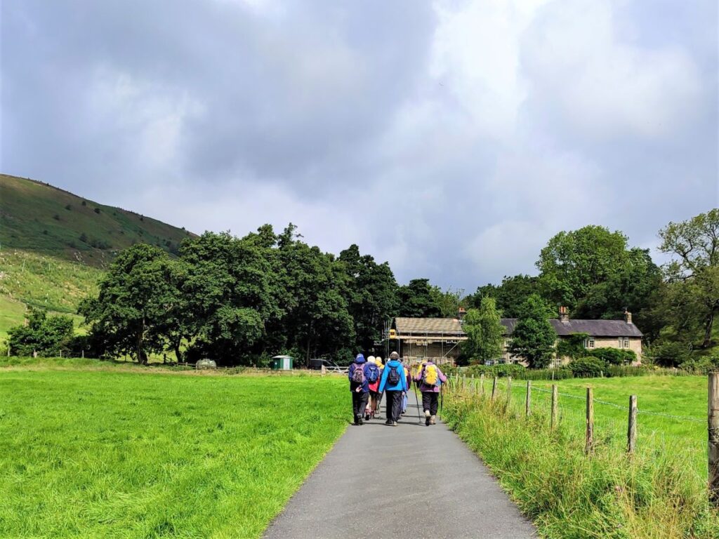
We follow the road down to Newton, passing numerous tempting footpath signs on both sides of the road – there is clearly much to explore here, and this is an area well worth returning to.
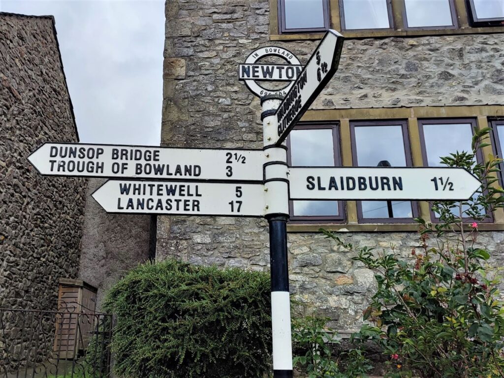
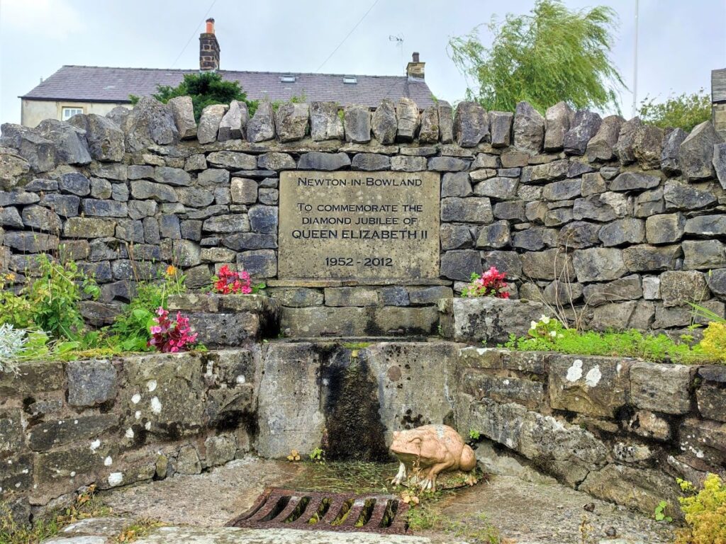
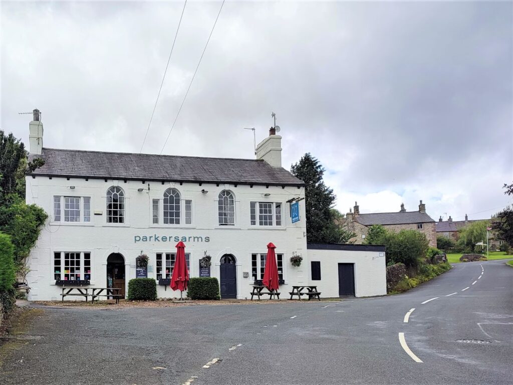
We eventually arrive at the main road in Newton where we turn left to explore this delightful village. It was originally known as Newton-on-Hodder and recorded in the Domesday Book as “Neutone”.
Until the local government reorganisations of the 1970s Newton was part of the West Riding of Yorkshire but is now within Lancashire. It’s location in the Forest of Bowland AONB makes the village an ideal place to visit and explore, with the River Hodder merging with the Easington and Foulscales Brooks close to the village centre. At the junction of Foulscales Brook and the Hodder is Barge Ford which is thought to be the “Bogeuurde” settlement – also mentioned in Domesday.
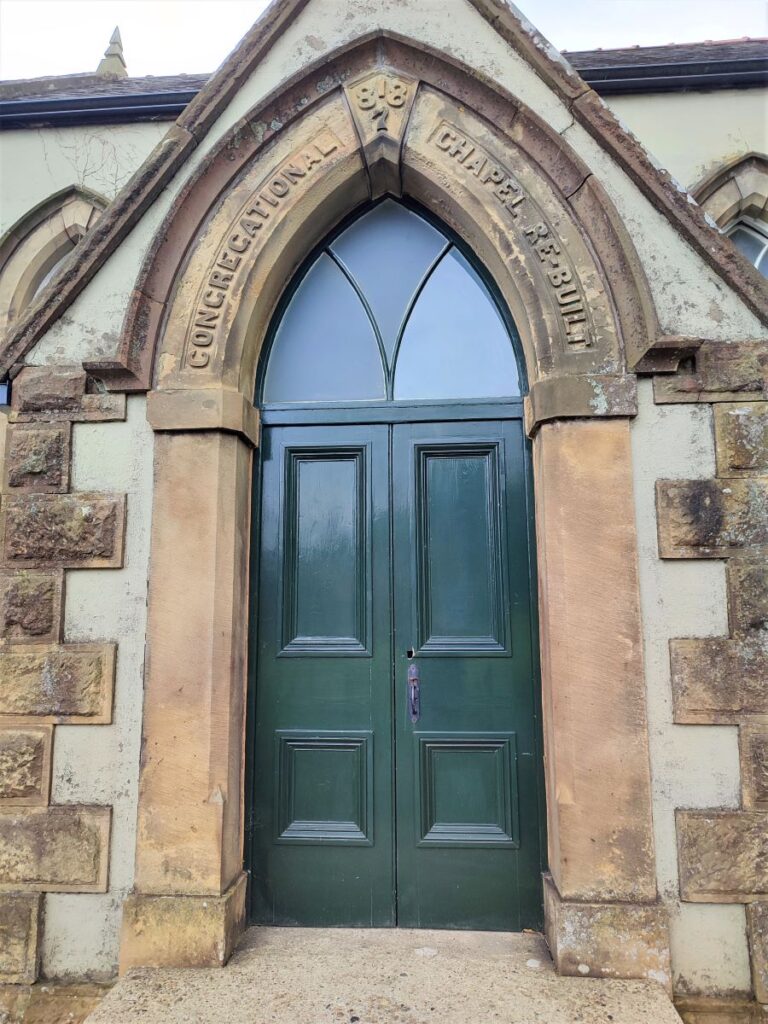
Worth taking a few minutes from the walk to see are the pretty Chapel built in 1696 and the Quaker Burial Ground. Nearby, but not directly on this walk is the fourteenth century hall, Foulscales Farm, which is said to be the oldest dwelling in Bowland.

Also of note is The Parkers Arms. The inn is renowned for sourcing its food from around the Bowland. The Parkers Arms is named after the Parker family and dates back several centuries. The Parker name can be traced to the appointment made by the Duke of Lancaster to Edmund, as the “park-keeper” for Radholme Laund deer park, with the surname “Parker” denoting Edmund’s occupation.
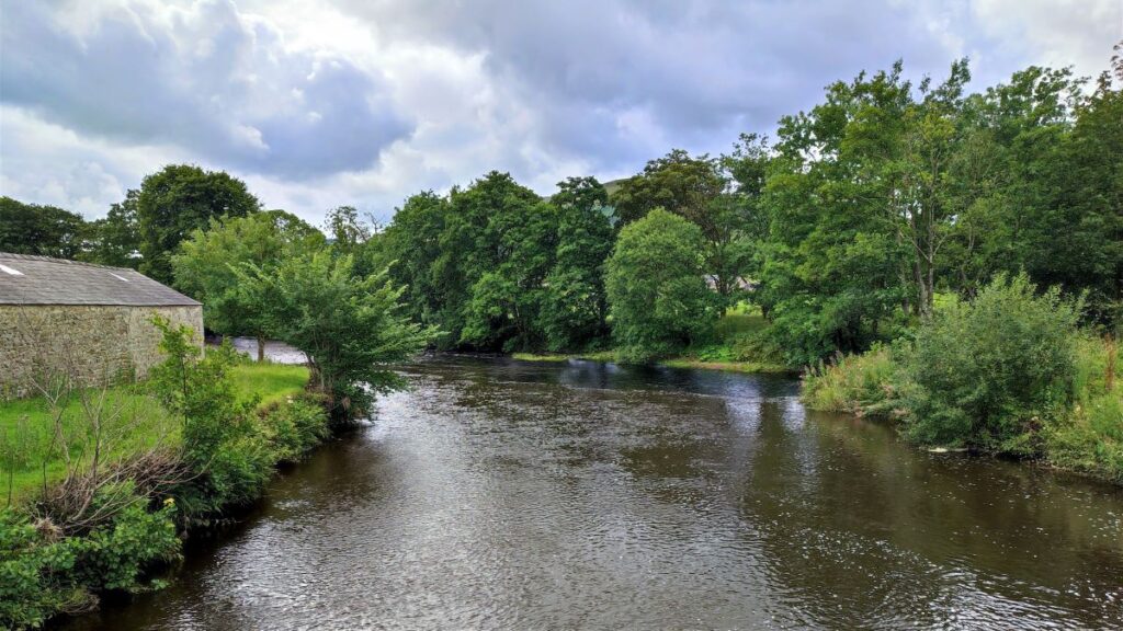
We turn right in the village and head down to the road bridge over the river Hodder; just beyond, and on the right, we cross into fields which run along the banks of the river – this is a great spot to take lunch – if you are lucky you will see kingfishers darting up and down the river.
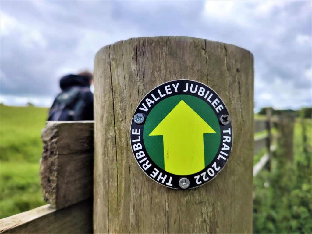
We are now on the Ribble Valley Jubilee Trail, a relatively new 65 mile trail divided into seven sections and created as part of the Borough’s Jubilee celebrations. Full details of the trail can be found here , you could also try the Bentham Footpath Group walk to Pendle Hill which coincides with it in places.
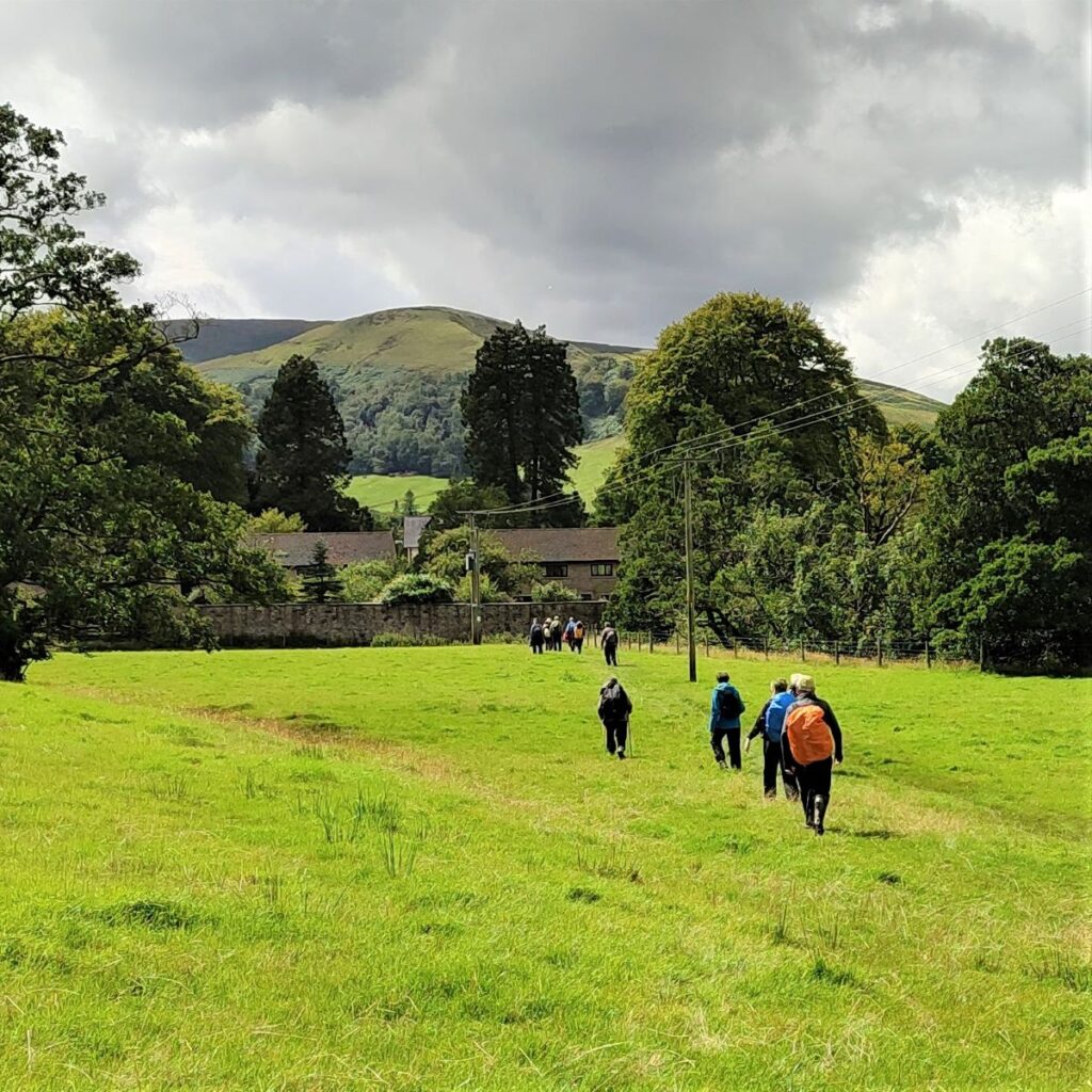
Our return journey is initially along the riverbank – the route is clear, but as the river starts to bend right at Barge Ford, we need to head diagonally left to cross fields and pick up a minor road at Foulscales.
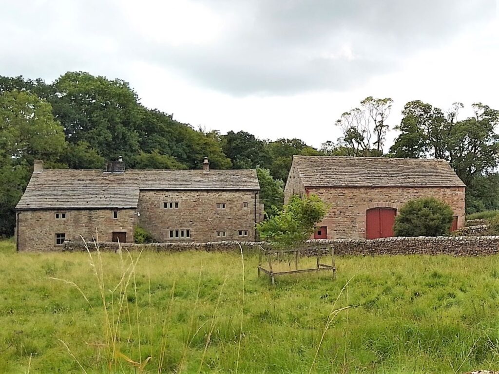
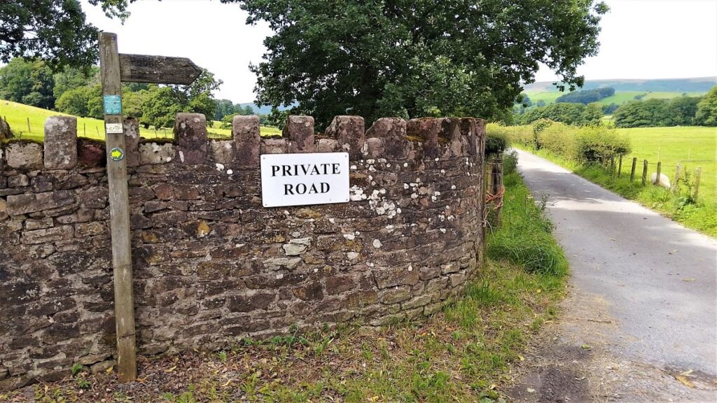
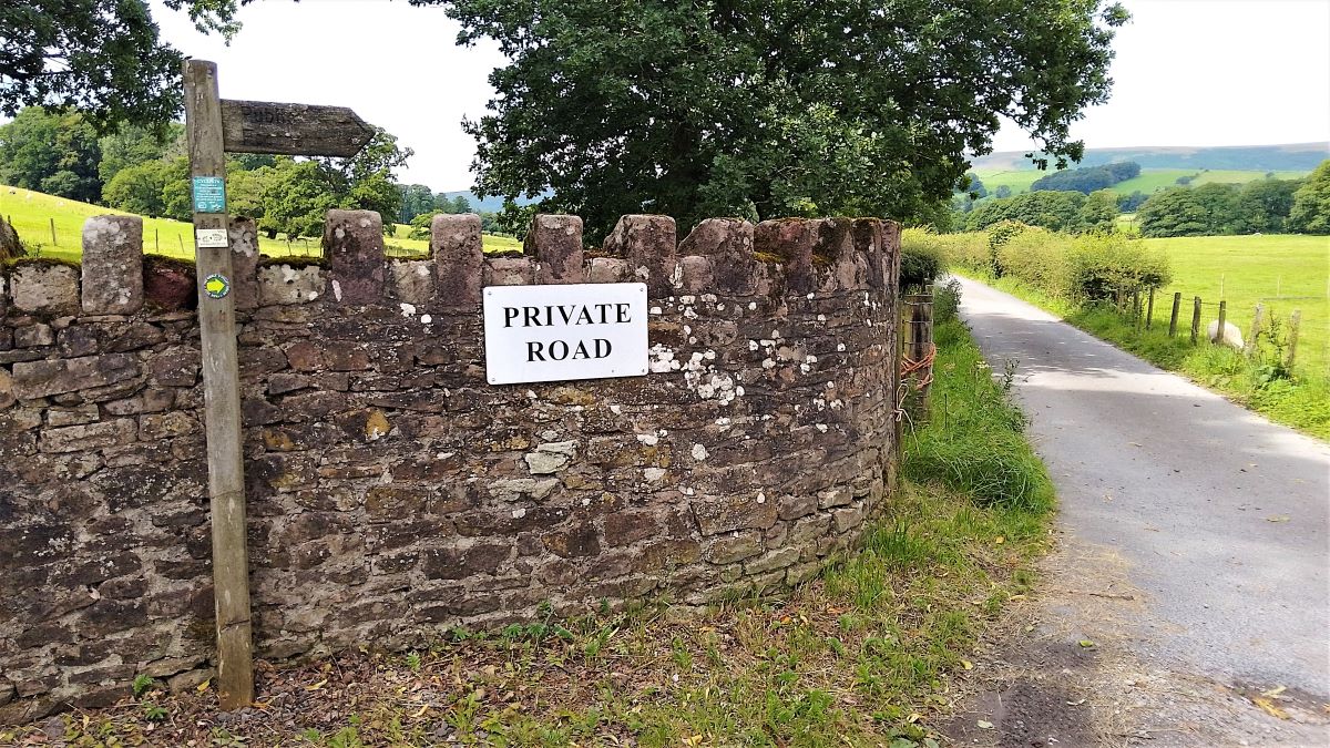
We head right along the road for a short while until we see a private road heading down to Knowlmere Manor. This is on the right, and although the road is private, there is a public footpath along the line of the path – you are not trespassing.
As we progress down the track to the manor house, you will see a couple of footpaths leading off the drive on the right. These go to a footbridge over the Hodder, which from the vantage point of this walk appeared to be unsafe for use.
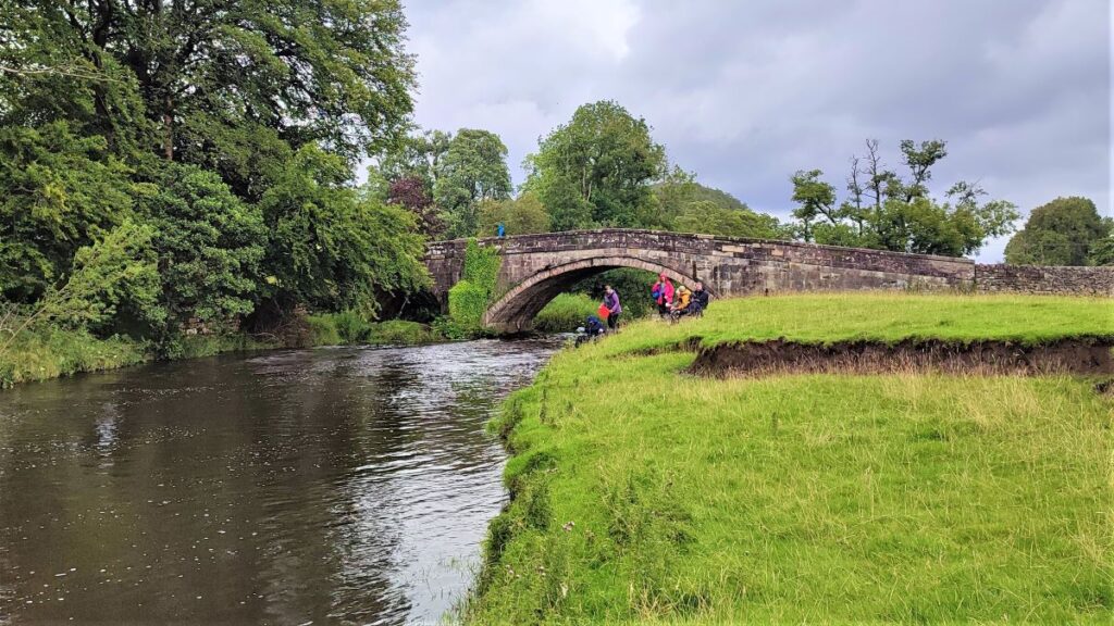
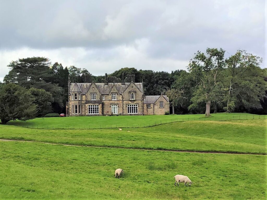
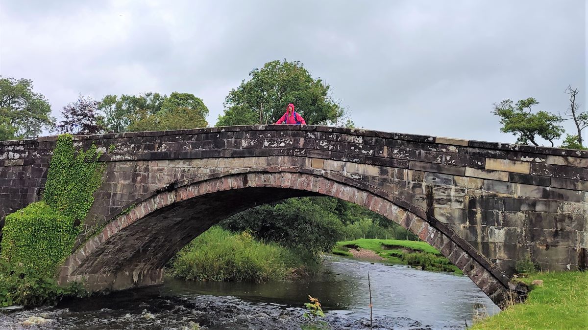
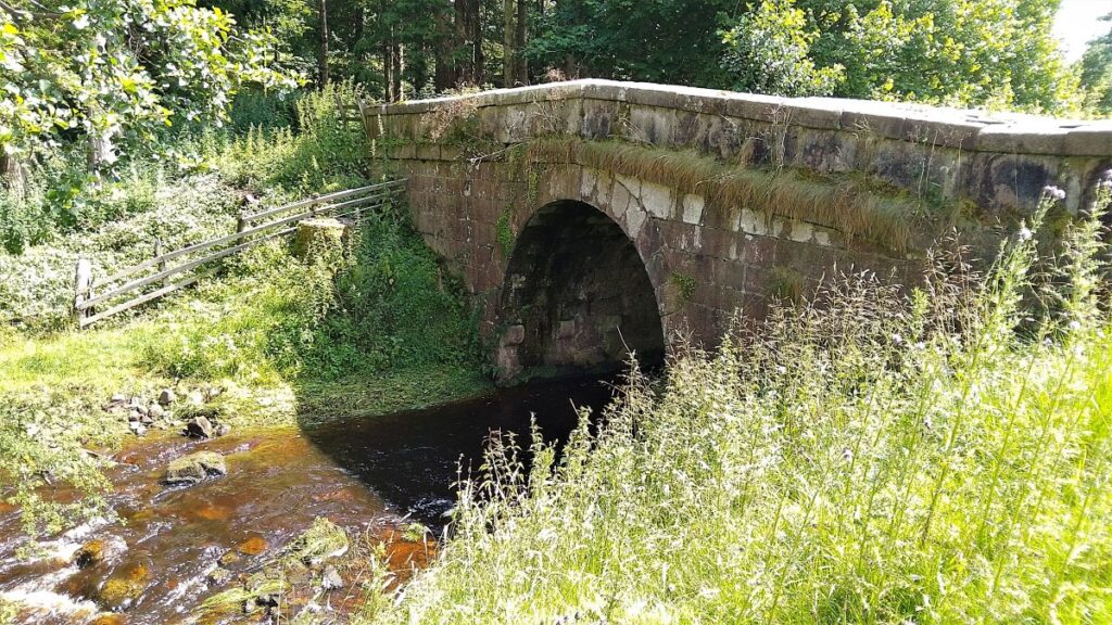
We follow the track down to Giddy Bridge (pictured) which despite the name is robust – and then into the parkland in front of the manor house.
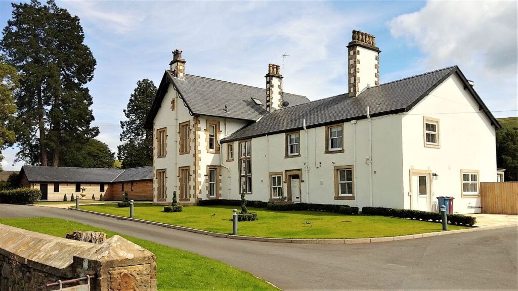
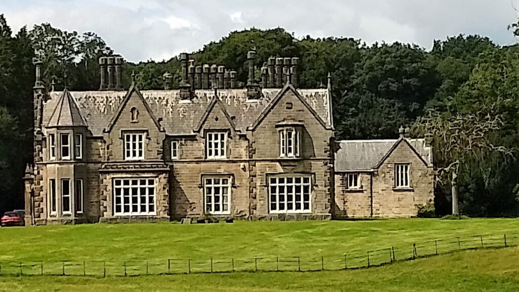
The estate was created in 1805 for J. Peel, a wealthy manufacturer, and son of Sir Robert Peel, founder of both the Metropolitan Police Force and the Conservative party. A new house was built in 1845 with stables and walled garden, and interestingly the house is what is referred to as a Calendar House – a style that used numbers common on calendars to define its features – seven windows, twelve chimneys etc. The house is not open to the public, but if it looks familiar, that may be because it has been used as film set on a couple of occasions, the best known of which was for a Sherlock Holmes adaptation.
Click here to see more in a Wikipedia Article.
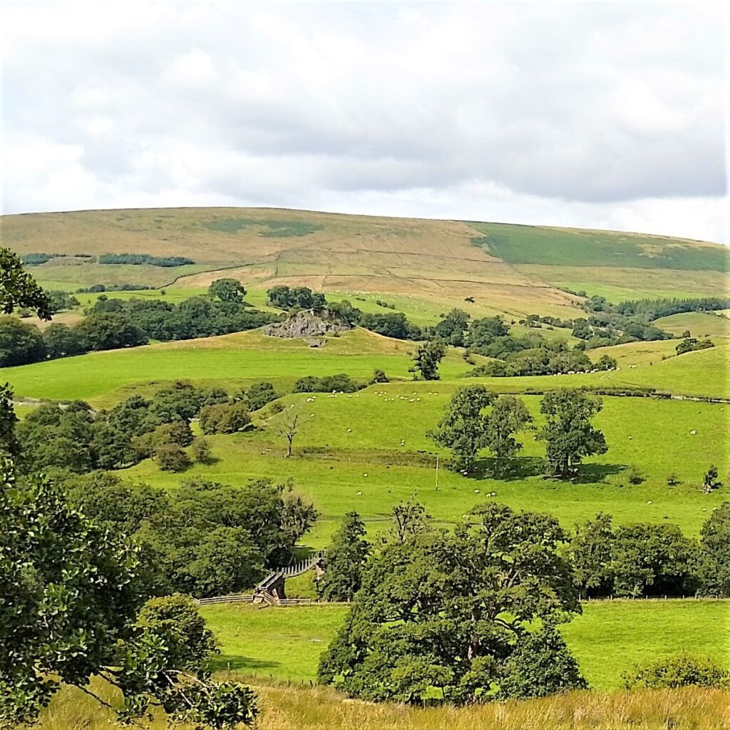
We carry on past the manor house and take the left fork to follow the track along the side of the Hodder Valley. Opposite we have a good view of the Sugar Loaf hill, a limestone knoll which has been quarried for the lime kiln below. It is said that at one time a gibbet stood on its summit.
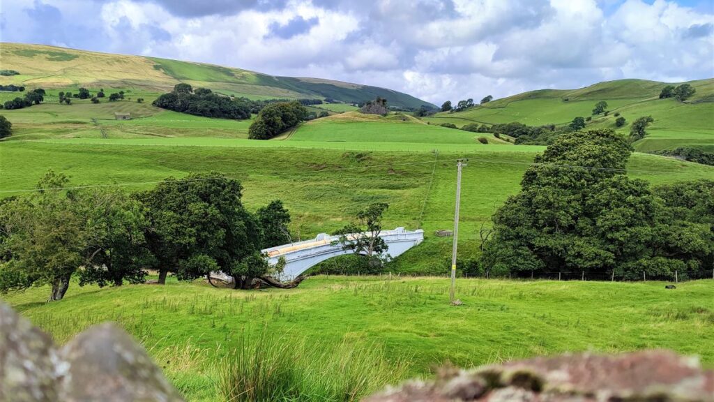
Also in view here is a precarious looking pedestrian suspension bridge over the Hodder – not part of our route – and then an aqueduct that carries drinking water. Thankfully for the residents of Blackburn, which it supplies, this looks to be better maintained.
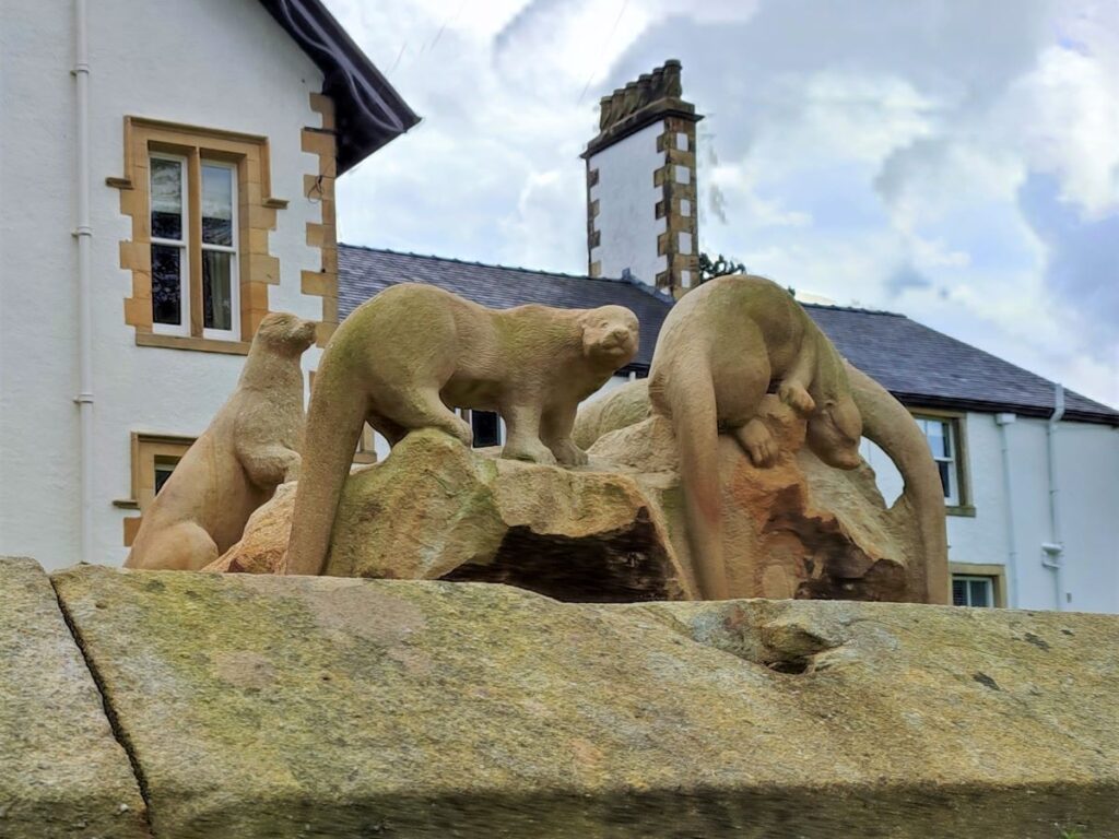
Just after our closest approach to the aqueduct, we look for a stile on the right hand side of the lane, and cross the drystone wall to head diagonally downhill – at the bottom right hand corner of the field we cross into a meadow at the side of the Hodder, and then take a path along the right hand side of workshops before the view opens up and we see Thorneyholme Hall along with the otter sculptures which grace the front garden.
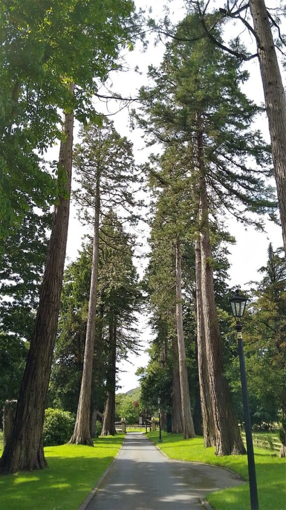
The Hall was home to John Towneley, the 13th Lord of Bowland, in the period up until his death in 1878, and as well as the otters, the confluence of the Hodder and the Dunsop, and an avenue of fine trees are well worth noting.
To finish the walk, we cross the access bridge and stroll down the drive back to the road where we turn left, to return to Dunsop Bridge.