Think of Tolkein and Middle Earth, and many people will think of New Zealand – largely because The Lord of the Rings trilogy was filmed there. But where is Middle Earth in reality?
We can all agree that Great Britain is the centre of the civilized world – nowhere eats more custard cream biscuits. We also know from our Dunsop Bridge walk that the centre of Great Britain is within the Forest of Bowland.
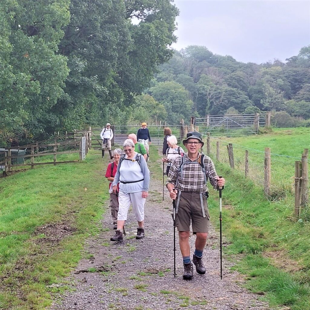
When we find out that Tolkein stayed at Stonyhurst College near Clitheroe whilst writing his masterpiece, it all falls into place: Middle Earth is the route we walk here. We start at Hurst Green, then walk down to the banks of the Ribble, past the confluence with the Calder, upstream to the union with the Hodder, then along the Hodder to pick up a path through the grounds of Stonyhurst College to return to Hurst Green. This excellent easy walk takes less time than watching the films.
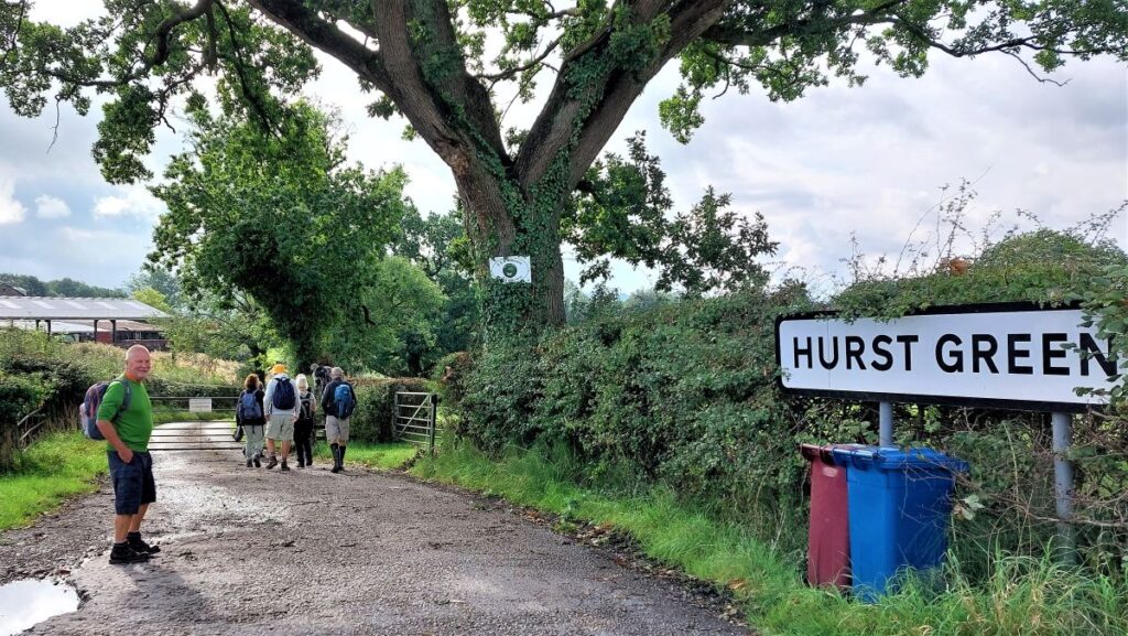
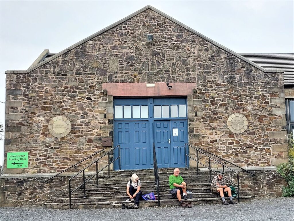
We start from the Memorial Hall car park at Hurst Green where there is ample parking – paid for via an honesty box. Hurst Green is on the B6243 between Clitheroe and Longridge. To find the Memorial Hall, plug the postcode BB7 9QB into your Satnav. If you use What-3-Words, the tag is kiosk.middle.consults and on the paper OS map, the grid reference is SD68433819.
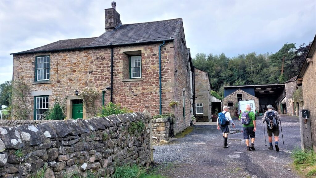
From the Memorial Hall, we head left along Avenue Road down to the B6243 where we see the Shireburn Arms Hotel – a 17th Century coaching inn whose name reflects the family name of the local landowners: Stonyhurst Hall, a precursor to the Stonyhurst College that we see later in the walk was built by Richard Shireburn in 1592. The hamlet of Hurst Green (about a mile away from the hall) began to develop, as staff were needed to support the grand house and its residents. Hurst Green’s development continued once the college was founded in 1794, and by the early 20th century the village was about the size it is now (approximately 500 residents).
The Shireburn arms is now a well rated hotel / restaurant, and well worth a visit. Or if your tastes are simpler, Millies Café which we pass as we head left along the B6243 (Whalley Road), is a good alternative.
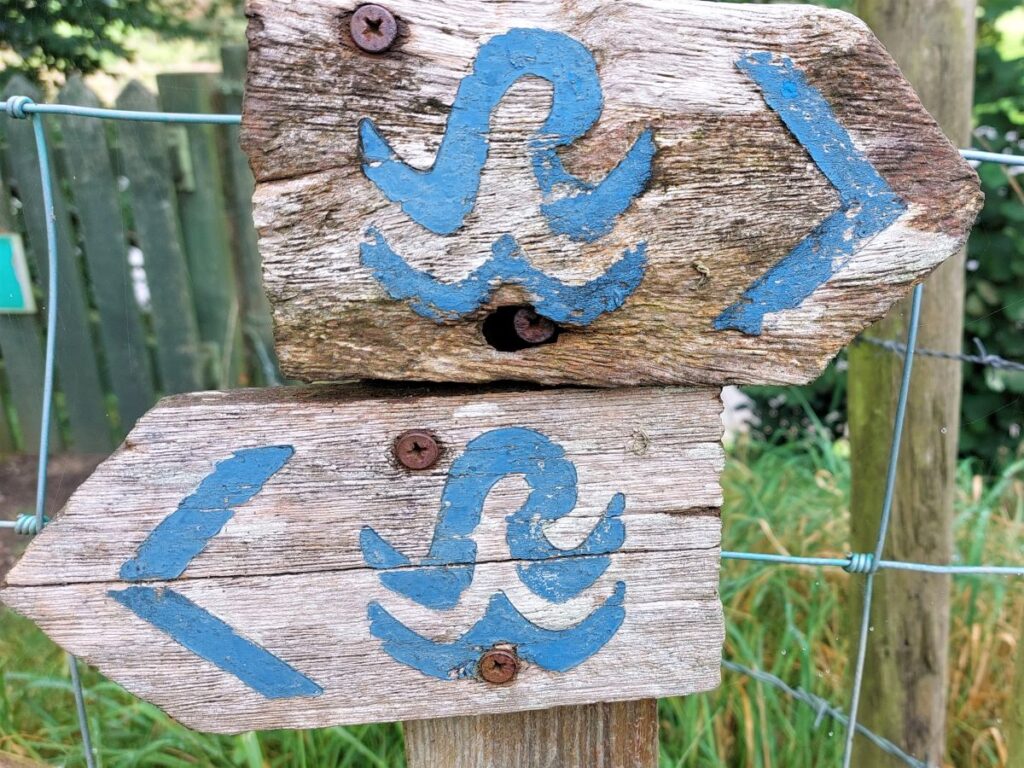
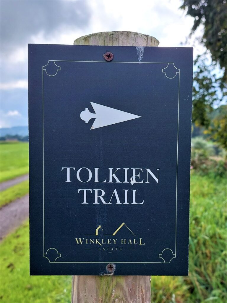
There is a well-publicised walking trail called the Tolkien Trail – a pdf of the route can be downloaded from either the Visit Lancashire website or at the downloads section of this page. You should note that if you are following our route it varies from the “official” trail in two respects: We walk in a counterclockwise direction, and we substitute an alternate route from the village down to the banks of the Ribble, as experience suggests that the Ribble Way path past Parkers Well and the fords is often excessively wet and slippery. Perhaps the clue is in the names.
We mention this because as we head out along the Whalley Road you may well see signs showing the Tolkein Trail leaving the road near to the Pub – you can follow those signs or our directions – take your pick, they come together again in a short while.
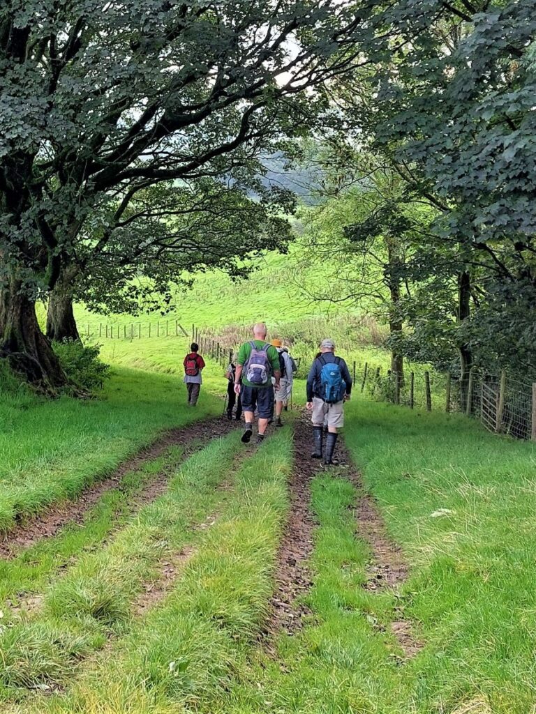
About 500m along the main road we see the sign notifying motorists that they have arrived at Hurst Green, and to our right we see a track (Lambing Clough) heading down to Cross Gills. This is our alternate route down to the Ribble. We take the track down to the farm and then pass to the right of the barn – to continue in a South Easterly direction down to the banks of the Ribble.
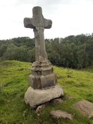
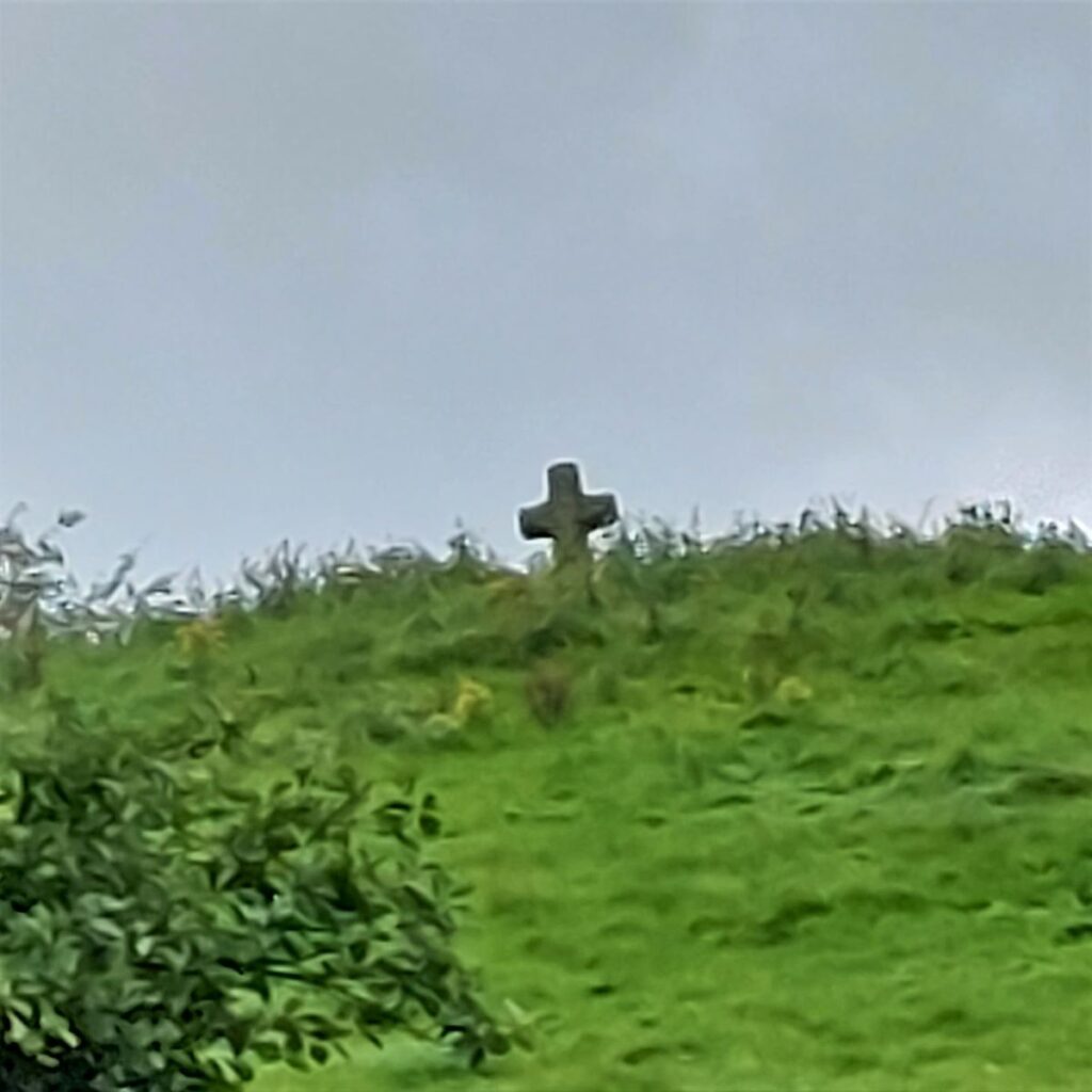
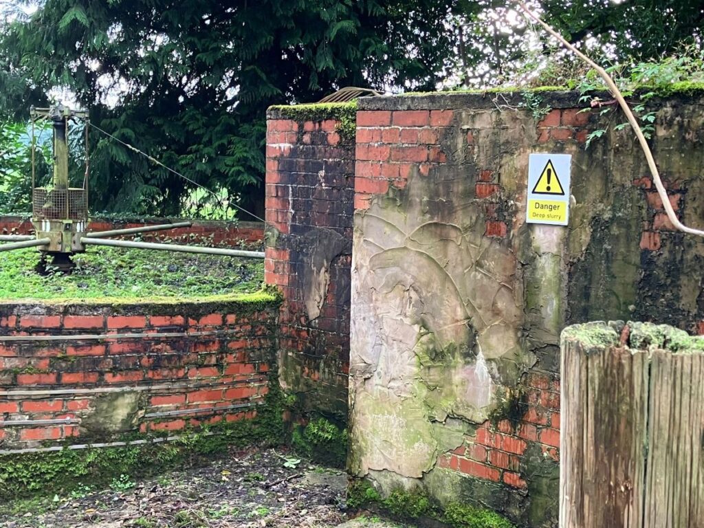
As we progress down the path, no more than 100m beyond the farm, we see a curious cross peeping over the top of the hill to our right. This is the tortuously named Cross Gill Cross and is thought to have come from a church. An old tale records how a farmer had to hastily replace an earlier cross when his cattle died after he had thrown the original into the river.
The cross is not on a public footpath so cannot be visited, but an image from https://bowlandclimber.com/ suggests that if you disregarded electric fences it would look like this:
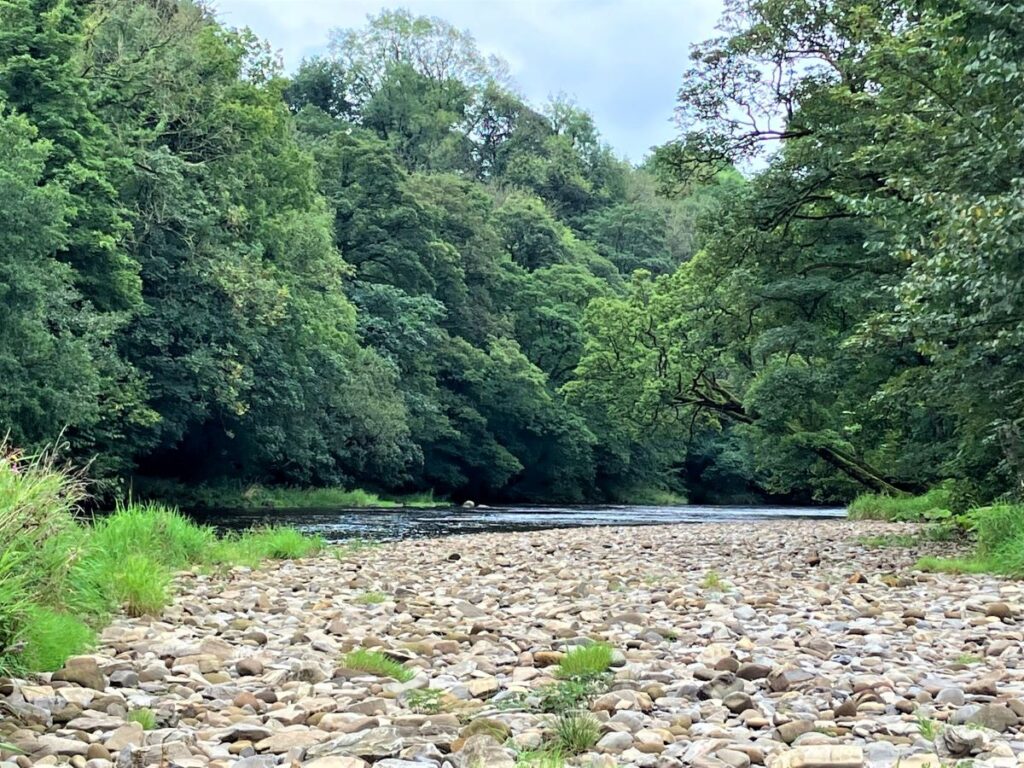
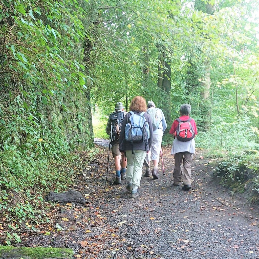
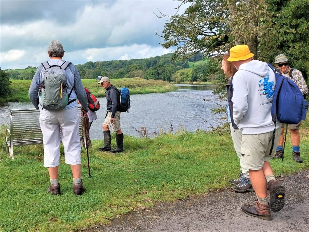
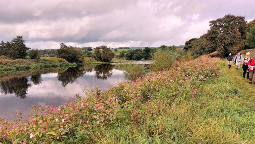
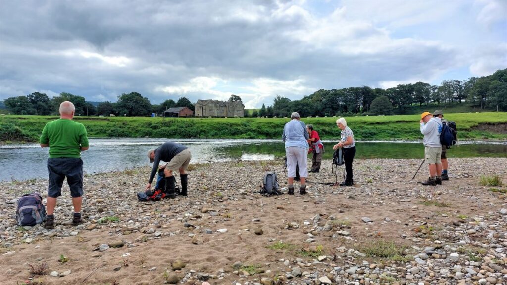
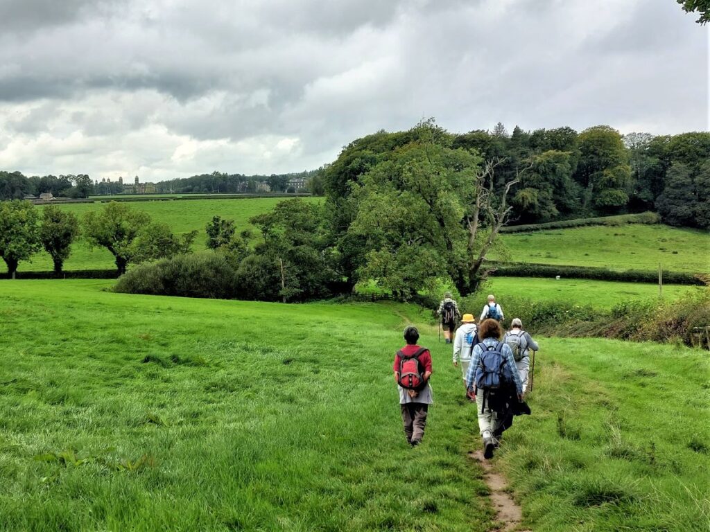
Once we get to the Ribble, our path meets the Ribble way – which is the route you will have taken from the village centre if you followed the published pdf. We now head left (upstream) and follow the Ribble for a while.
Our next landmark is the confluence of the Rivers Calder and Ribble – the Calder is the smaller of the two so the combined flow remains the Ribble after they meet.
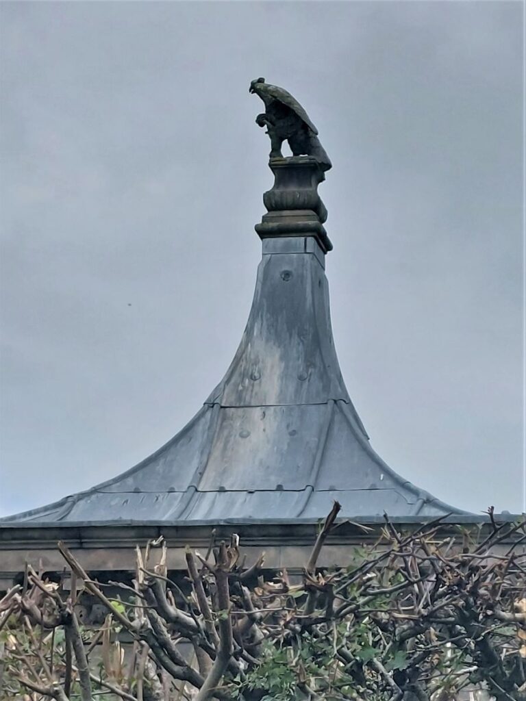
On the far side of the river, you will see Hacking Hall, a fine Grade I listed, early 17th century house.
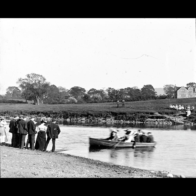
It is thought that J. R. R. Tolkien took inspiration for the Bucklebury Ferry over the Brandywine River in his book from a ferry which, although no longer in operational, was still used when Tolkien stayed at Stonyhurst College.
(This picture comes from the Lancashire County Council Red Rose Collection available by clicking here. This collection of past images and documents is a treasure trove well worth visiting.)
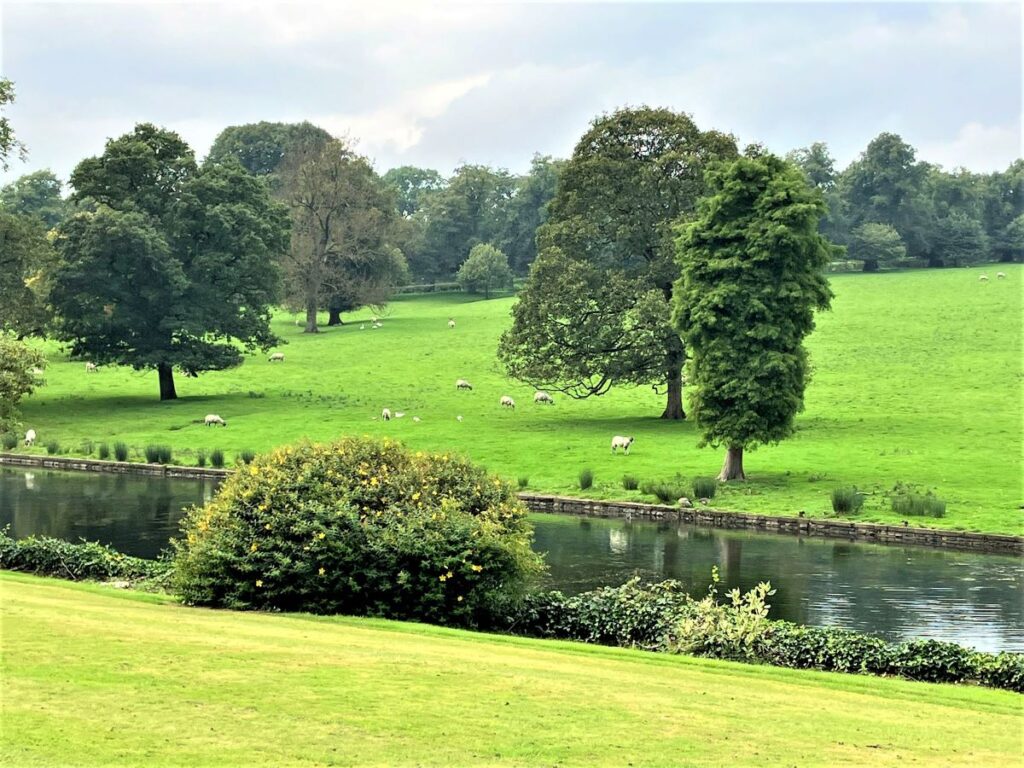
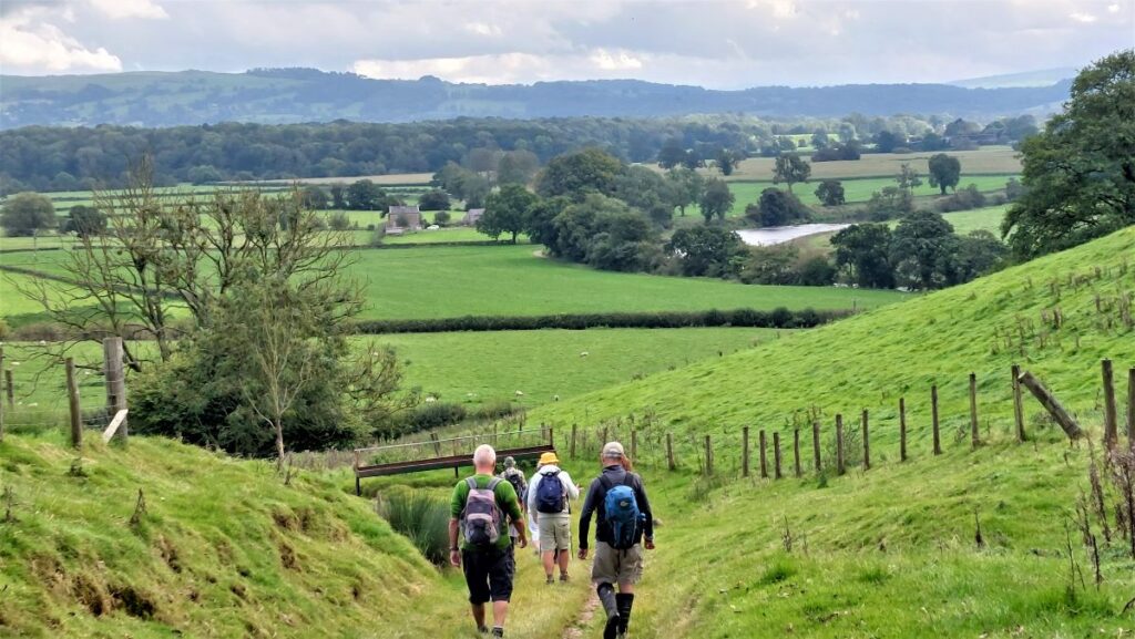
We continue upstream along the Ribble way until we get to a second confluence – this time of the Ribble and the Hodder, and at this point the Ribble Way continues up the Hodder (it picks up the Ribble again after a short diversion up the Hodder to find a safe crossing).
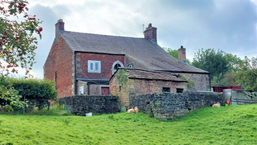
About 200m North of here we arrive at Winckley Hall Farm – where the path leaves the river’s edge to pass to the left of the farm buildings and then head Northwest and back to the B6243, with Spring Wood on our right.
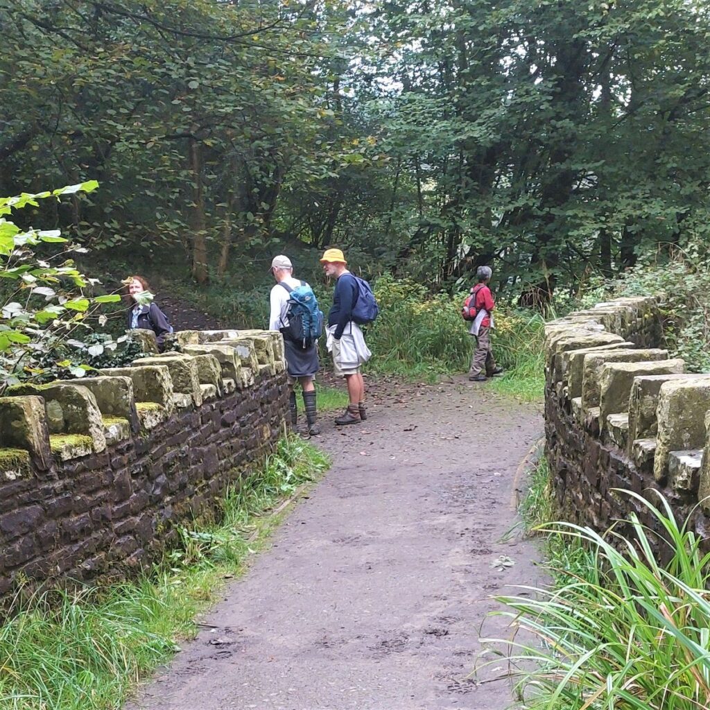
Once we arrive at the road, we head right for about 200m until we arrive at the road bridge over the Hodder – here we take a path on the left before we cross the river. At this point we are back on a riverside path – again on the Hodder and again heading upstream.
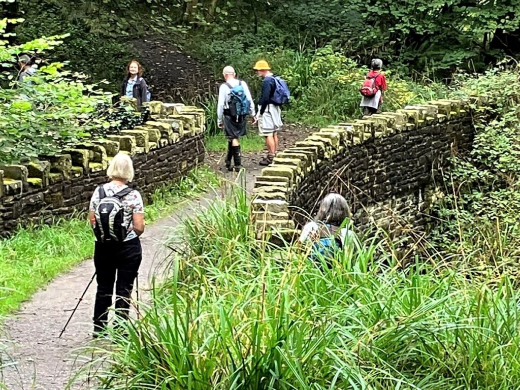
Just before we do that though, it’s worth looking downstream to the remain of the older packhorse bridge over the Hodder – known as Cromwell’s bridge. Still viable as a foot crossing, this bridge played a part in the Civil War of the 1600s in the build up to the decisive Battle of Preston.
Oliver Cromwell and around 8,600 men (often referred to as The New Model Army), most of them on foot, some on horse and some pulling heavy artillery, all crossed this little bridge on the way to battle, after weeks of marching.
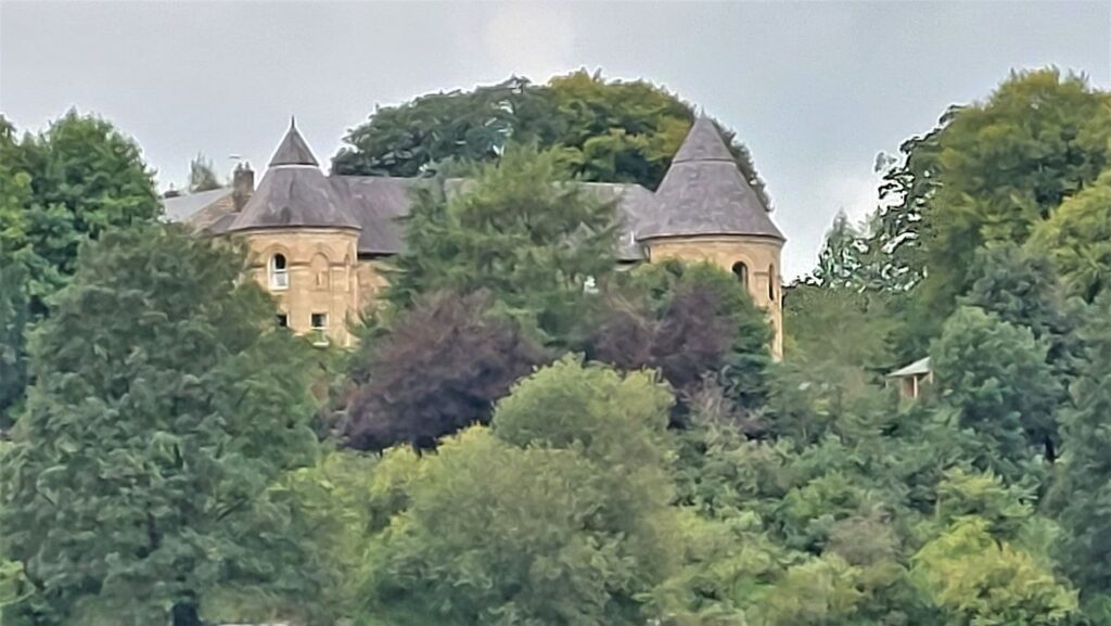
Our path continues along the left bank of the Hodder as it curves round to the left until we see Hodder Place – once a preparatory school for Stonyhurst College, and now divided into flats. This listed building (dating from the late 18th century) has a something of a French Chateau style to it.
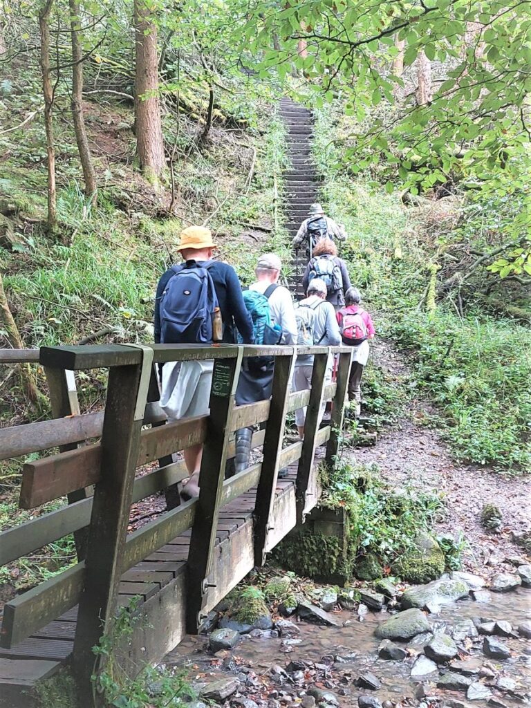
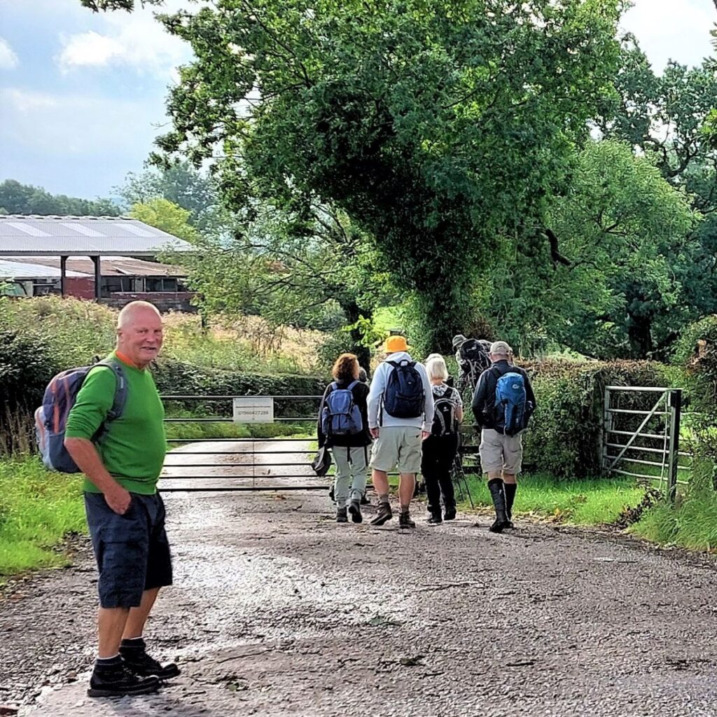
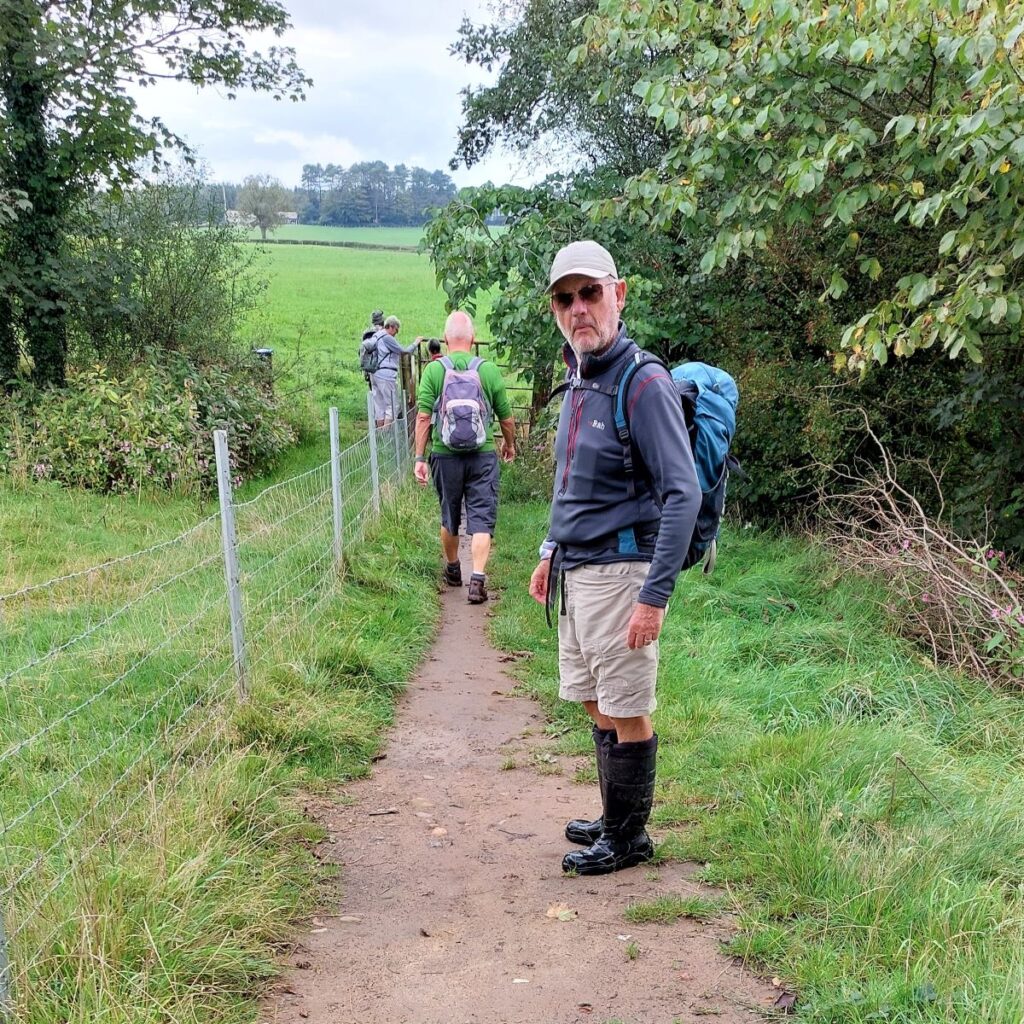
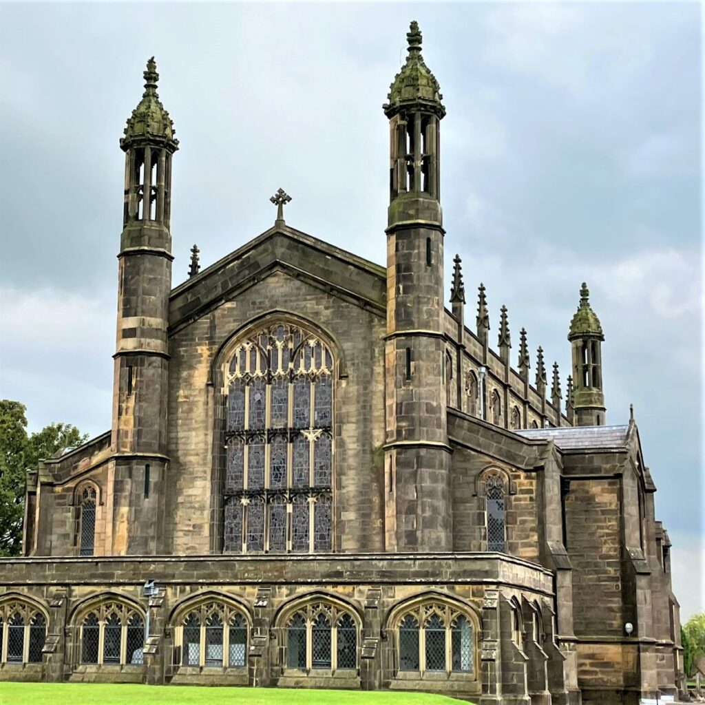
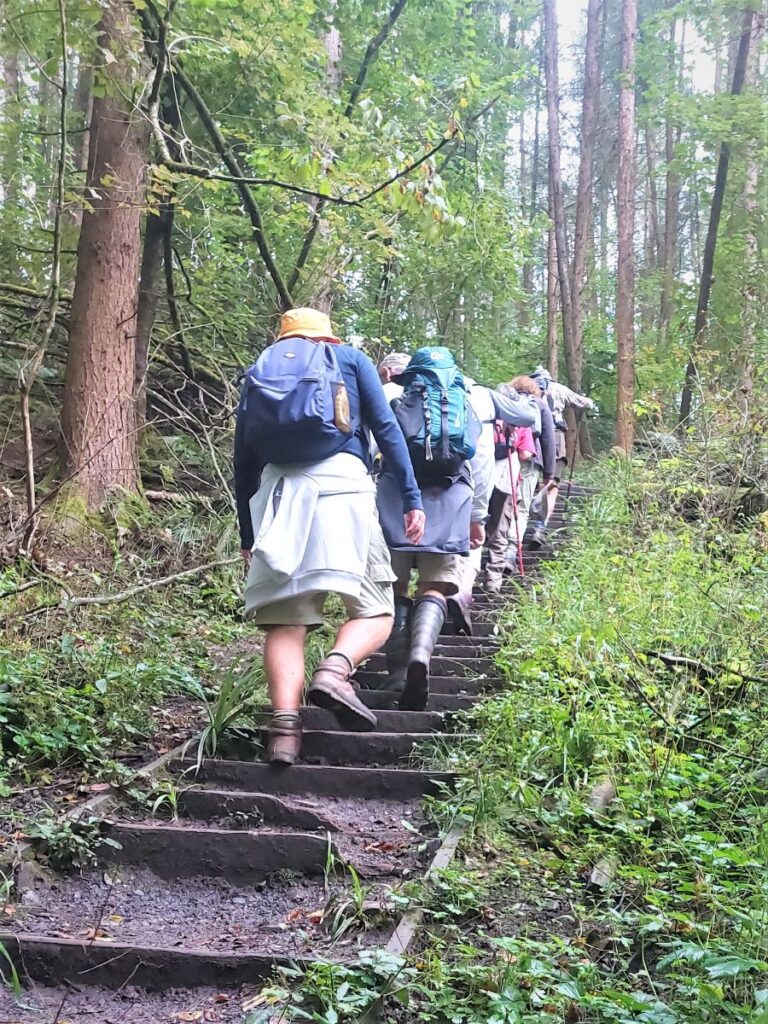
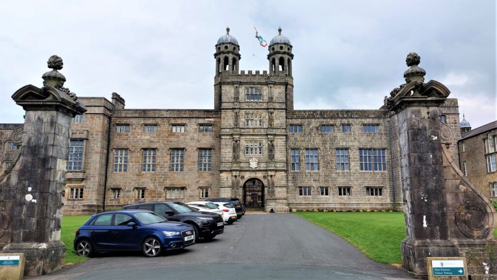
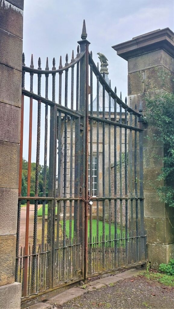
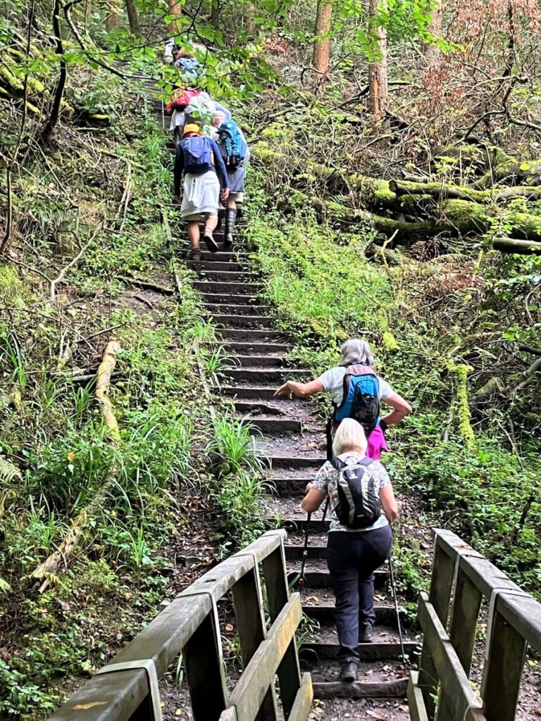
About 100m beyond Hodder Place, we leave the riverbank at stone bridge followed 100m later by a small wooden footbridge. We then head steeply uphill (South) using a short but brutal set of steps along a footpath that soon levels out and heads toward Stonyhurst College. After about 500m we meet a minor road – which we cross – with the path continuing past St Mary’s Hall.
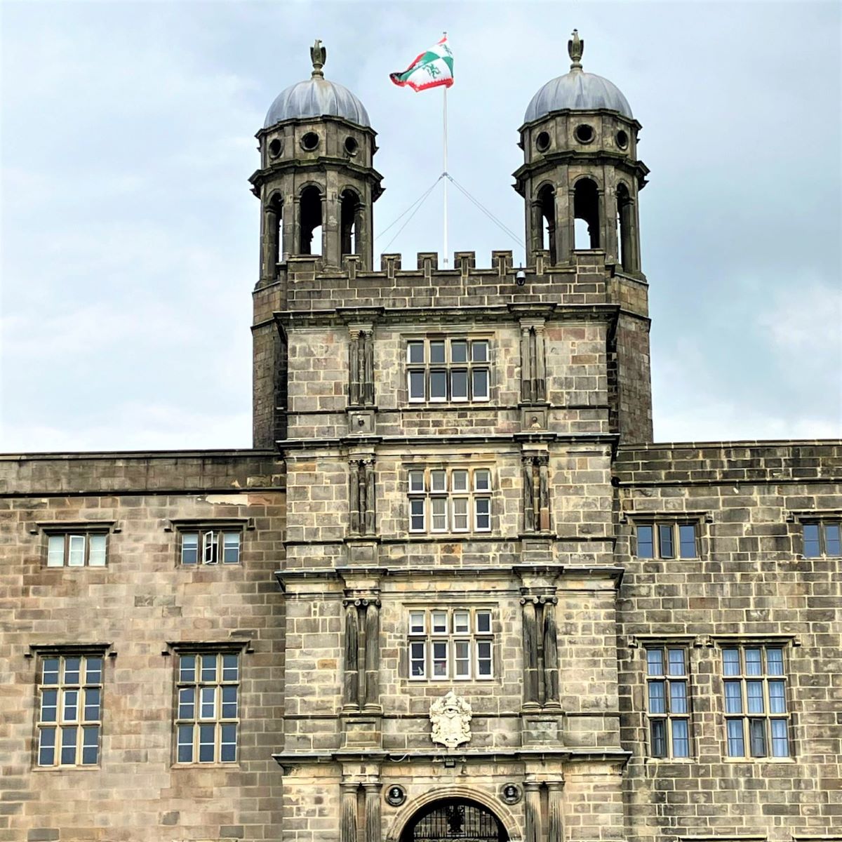
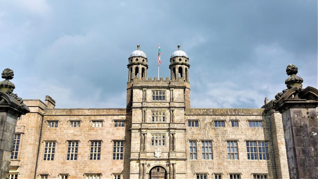
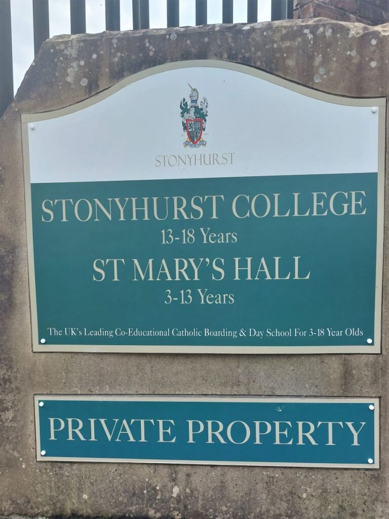
Stonyhurst College is a private catholic school, and St Mary’s is the associated prep school – replacing Hodder Place which we passed earlier. From here we continue along the footpath keeping St Mary’s and the main Stonyhurst College on our right for now. We soon arrive at a track and turn right to pass in front of the school’s observatories.
The Stonyhurst Observatory is a functioning observatory and weather station and was built in 1866, replacing a nearby earlier building, built in 1838, which is now used as a printing press for religious texts. The records of temperature, which continue to be taken there, began in 1846 and are among the oldest continuous daily records in the world. In 2004, Stonyhurst replaced Ringway (Manchester Airport) as one of four weather stations used by the Met Office to provide Central England Temperature data (CET); so, when you see temperatures on the Met Office forecast, they are partly based on data gathered here.
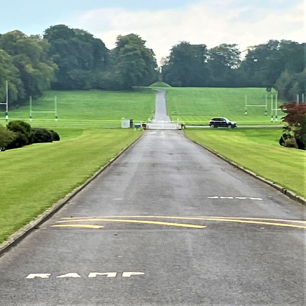
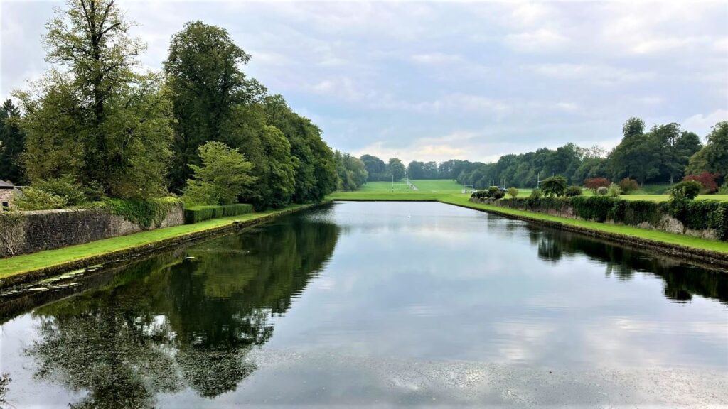
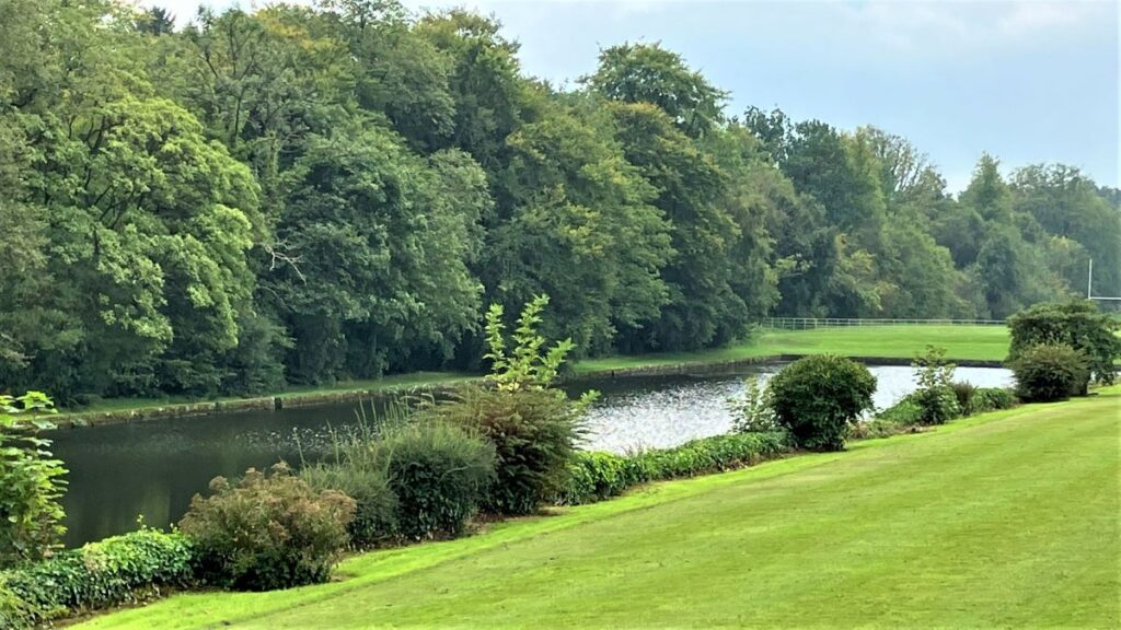
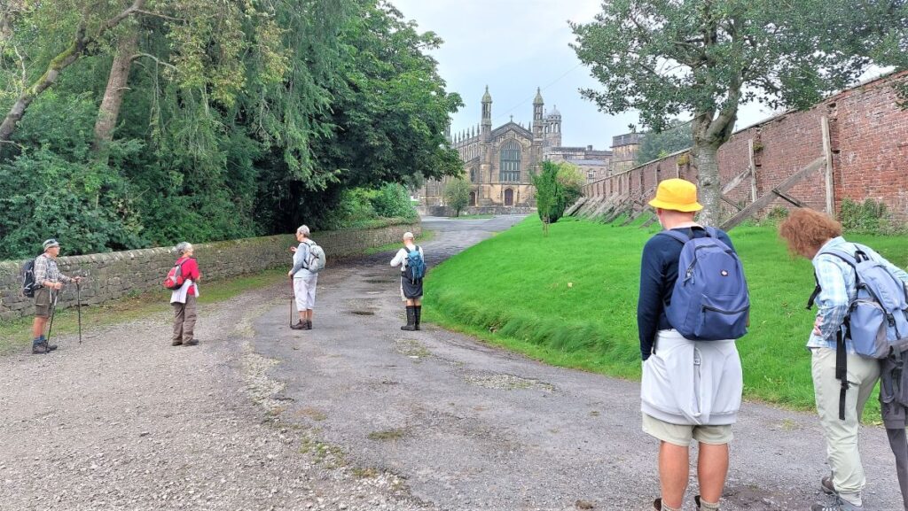
Just beyond the observatory we have Fox Fall Wood in front of us, and here the public right of way offers two alternatives. Our route back to Hurst Green is to the left, directly to the village about 500m away, but an interesting and worthwhile diversion is to take the public right of way across the front of the college to enjoy the views down the fine landscaped approach and the of the college buildings themselves.
Obviously, the college grounds themselves are private – please be respectful of this. The buildings are impressive and it’s natural to be curious, so if you want to see what the inside, and the buildings hidden from the public footpath looks like, head to the colleges excellent virtual tour by clicking here rather than trespassing.
To complete the walk, we return to the junction of the routes near the observatory and head Southwest back to the village and the car park.