Jump to . . .Step by Step | OS Map | Downloads | Gallery | Fly through
Most of the walks that Bentham Footpath Group offer are circular – that’s not a policy, just a practical constraint. However, the fact that one of the most scenic railway lines in the UK runs through “our patch” offers the opportunity to add linear walks where we let the train cover one half of a larger loop.
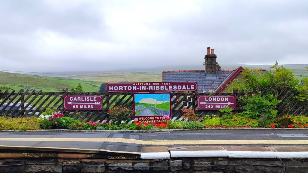
This walk does just that – we start from Settle and then take the train to Horton-in-Ribblesdale, before walking back.
There are many ways we could plan a walk from Horton to Settle, and in this case we opt to take a route via Brackenbottom and Dub Cote, before picking up the Pennine Journey and then Ribble Way paths to take us to Stainforth. We then climb Stainforth Scar past Lower Winskill, and then descend into Langcliffe before taking a quiet lane back into Settle. This involves a number of ascents – none of them too challenging, but together placing this walk at the top end of our “moderate” category.
- Total distance 13.8 km (8.6 miles)
- Total ascent 429 m
- Moderate walk
Step-by-Step

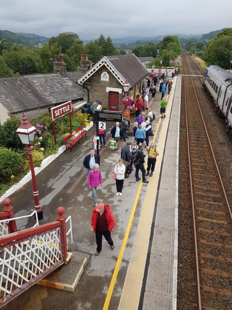
We start at Settle Station – with ample parking at the station or elsewhere in Settle. The address for your Satnav is a rather predictable Station Road Settle BD24 9AA.
We are only travelling one stop up the line, to Horton-in Ribblesdale, a journey that takes just nine minutes, before taking 260 minutes to walk back, proving beyond reasonable doubt that trains are faster than walking.
Settle Station is a very popular place, and during the summer, the Settle to Carlisle Railway is busy – so make sure you leave enough time to buy a ticket, or better still, purchase on-line before travelling. Click here to learn more about the railway from FOSCL.
As you wait for the train, take a moment to look around the station and look for clues as to how things have changed over time. The station we use today is one of three that once served Settle. The other two were Settle (old) – now renamed as Giggleswick, and Settle Junction where there is no longer a station, just a signal box. You may also note the large water tower that once served to provide water for steam engines – this is now repurposed as a dwelling, and the interesting story of how that conversion was achieved is detailed here. Opposite the water tower is the old Station Master’s House – and this too is now a private dwelling.
The station building itself is Grade II listed and was designed by the Midland Railway Company architect John Holloway Sanders. It opened on 1st May 1876 and was originally named Settle New to distinguish it from the existing station on the Bentham line which was became Settle Old.
The two platforms which we now see are linked by an ex-North British Railway footbridge that despite looking the part, is not an original installation: It was formerly located at Drem station in East Lothian, until electrification of the East Coast Main Line made it redundant. It was then dismantled and re-erected in Settle in 1993 to allow the old barrow crossing at the north end of the station to be taken out of regular use; the crossing is still available for wheelchair users – but only when the station is staffed.

Prominent to the east of the line, although not in its original position is the signal box that once controlled the station and the adjacent sidings complex. The closure of the sidings meant that this was no longer needed so in 1997, it was relocated further north to be adjacent to the down platform and is now open to the public on most Saturdays.

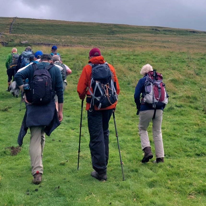
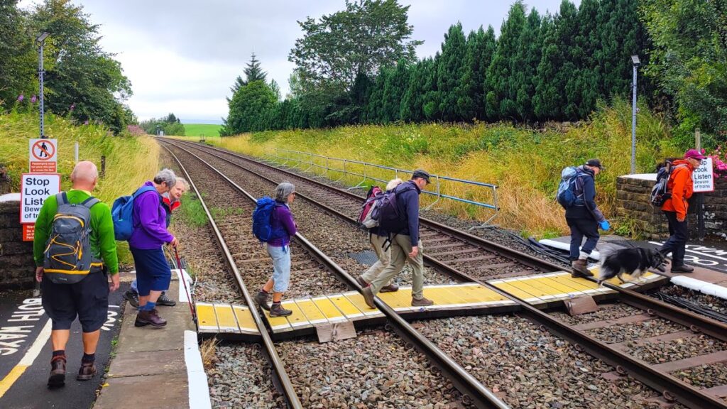
Once we arrive at Horton-in-Ribblesdale, we note that most of those disembarking are carrying a rucksack and clearly bound for a walk. We might think that we are likely to need to share our route, but that’s not the case – almost everyone else will be heading up Ingleborough, or Pen-y-Ghent.
We cross the line at the pedestrian crossing – there are plans to install a footbridge and lift to replace this, although they are running late – so take care, and if you need to know why it’s dangerous, click here to see Network Rail’s interesting view of its end users.
We then head downhill and onto the B6479 which we follow down to the pedestrian bridge over the Ribble. At the far side of this is the National Park car park. We continue along the main road through the village for about 150m until we notice a lane on the left – called Pennine Way and take this heading very gently uphill for about 120m until we meet a junction, where we go right – it’s worth noting here that the route round to the left leads up to Hull Pot – well worth a visit.
We now follow the lane down into the southern end of the village where we find a wooden footbridge over Horton Beck. We cross, and then head left passing the old C of E primary school, tracking the course of the beck upstream.
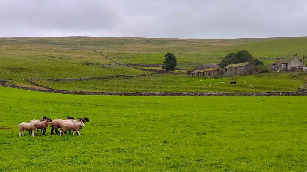
The lane curves round to the right, and we now start to gain great views of Pen-y-Ghent and the quarries. We pass the path on the left that leads up to Pen-y-Ghent, and then continue past the base for Bradford Pothole Club, and a curious agricultural building where the missing roof allows us to see a wire mesh ceiling – this belongs to Hawk Experience who run a falconry centre from here, so don’t be too surprised to hear the birds.


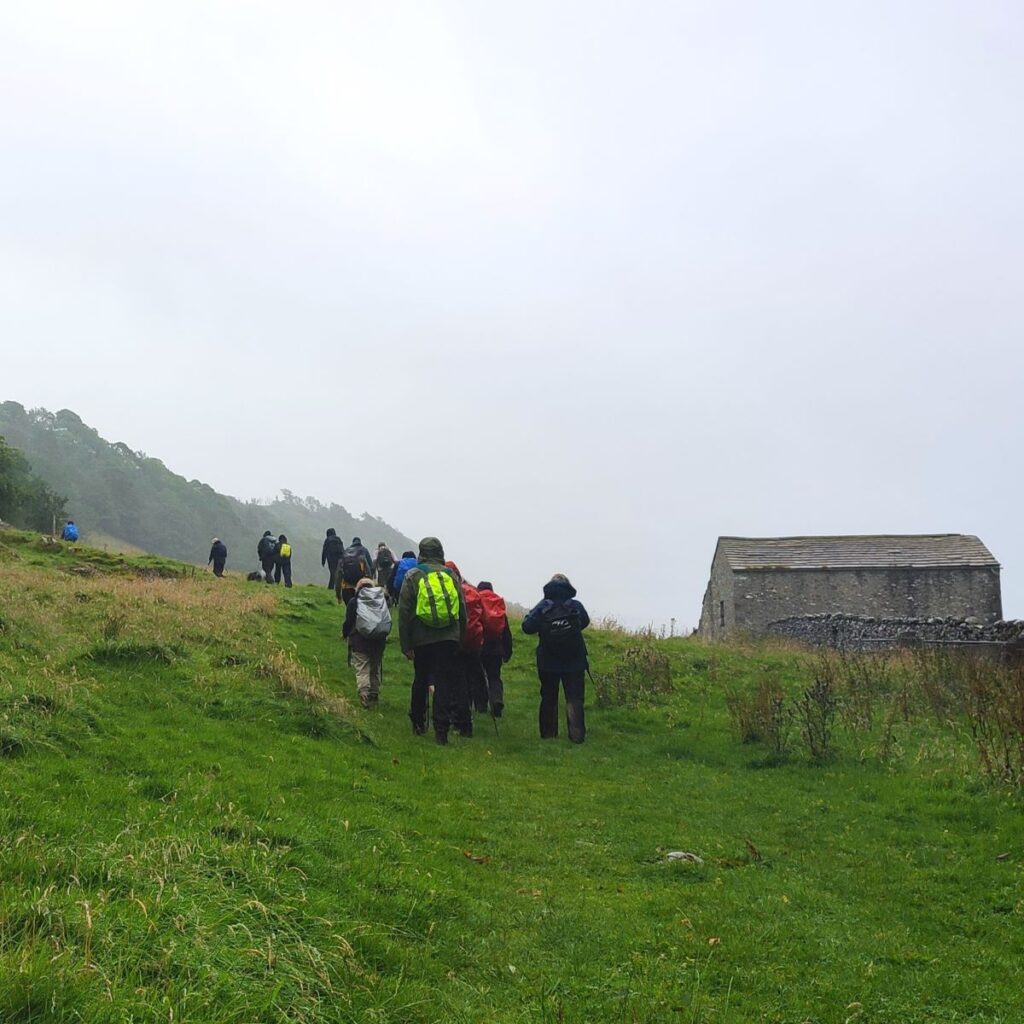
The lane continues along to a junction where we go left. At this point we are on the Pennine Journey long distance path. We are now heading southeast and starting to climb more significantly. Our next landmark is Dub Cote – look for the sign on the edge of the barn and then head left and uphill through the various farm buildings and up to a gate onto open countryside.
From here the path is relatively clear – it meanders right to left as it climbs, and after some 500m or so of rather steep ascent, we arrive at a lane where we get the opportunity to head downhill for a short while.
This track is known as Long Lane and runs from Helwith Bridge up toward Pen-y-Ghent so you may well encounter others heading in the opposite direction.
We follow this lane for a while, and as we do so we have great views across Ribblesdale to the various quarries on the far side Dry Rigg, Arcow and Horton Quarries are still active, whilst Helwith Bridge, Studfold, Combs and Foredale Quarries are all closed. Click here to see a panorama shot of the view.
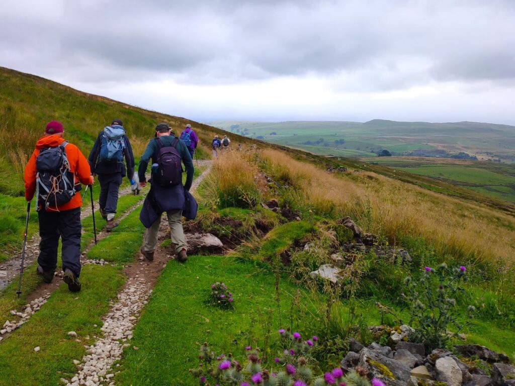
As we approach the bottom of Long Lane, we meet a junction. Ahead is Helwith Bridge and the main road, but we go left and climb steeply up Moorhead Lane for the next 800m. Once the path has started to level out, we need to look for a stile on the right hand side, opposite a fingerpost on the left. We take the stile and then head south toward Stainforth – at this point the Ribble Way and the Pennine Journey paths coincide so the route is well trodden and clear – although it can be quite boggy in winter.
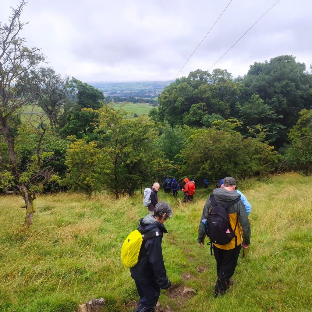
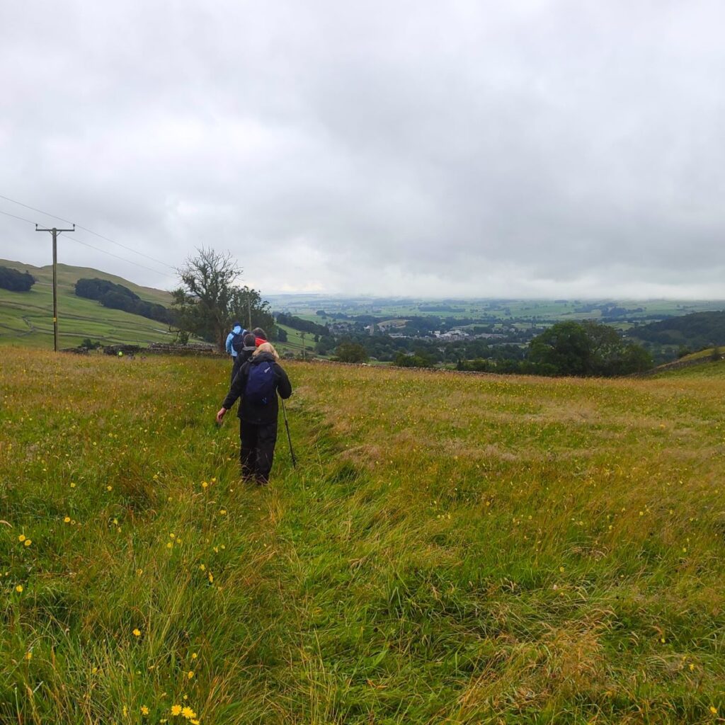
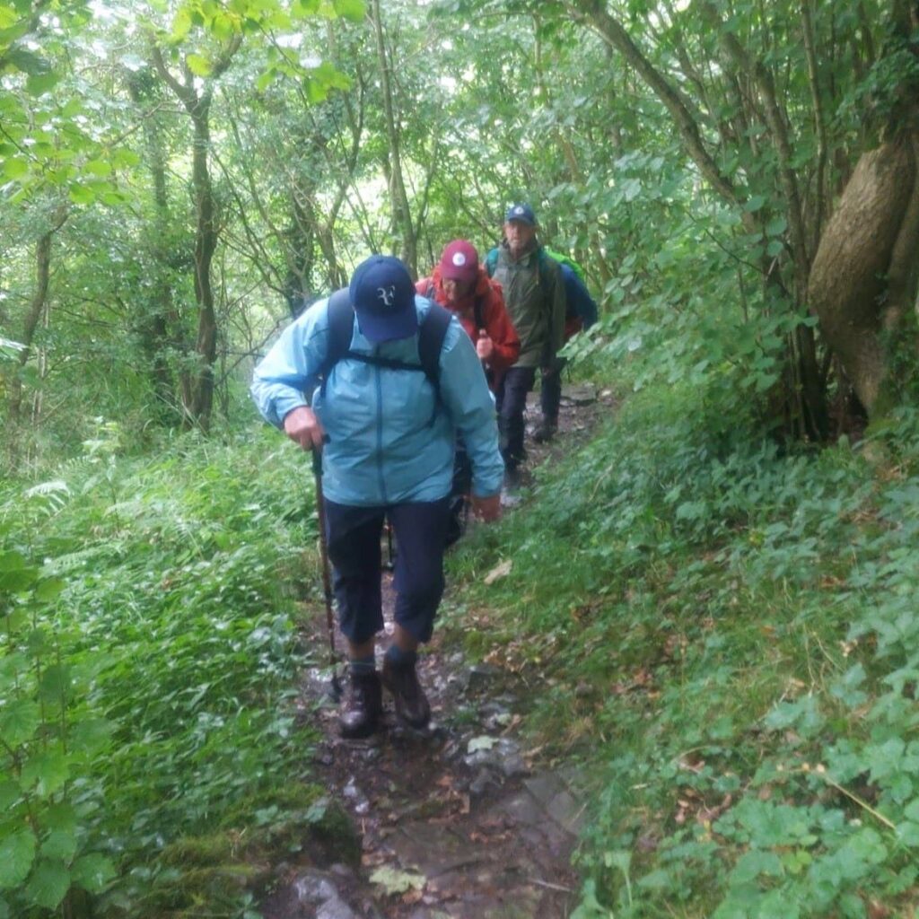
For the next mile or so, we walk across open moorland. The route is clear, and the next stile in the series is generally visible, and after a while we start to descend into Stainforth – the route down is quite steep, and although easy enough on the day of our walk, we know from experience that after heavy rain it can be quite slippery.
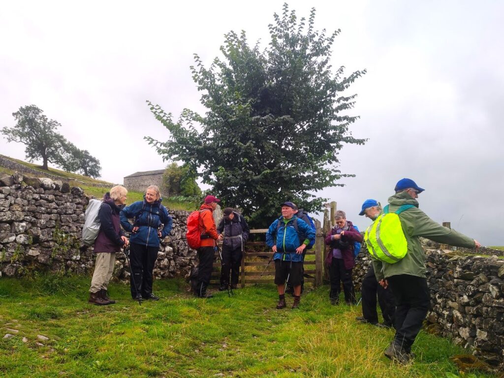
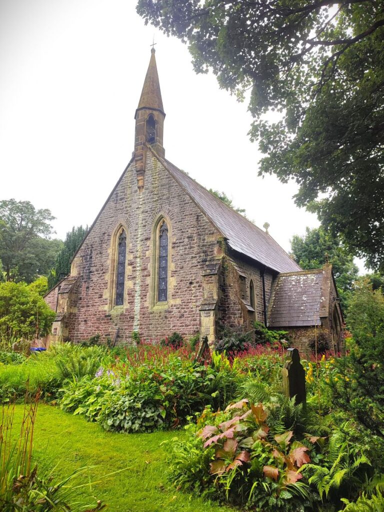
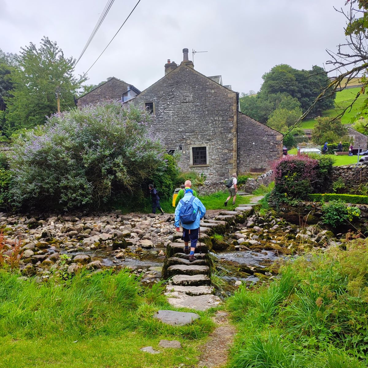
As we arrive at Stainforth we see a gate onto a lane which emerges in the village centre adjacent to a large house. Stainforth is a rather lovely village, and it’s worth taking time out of the walk to explore. There are toilets at the car park next to the main road, a newly reopened pub (The Craven Heifer), a 19th century church designed by Edmund Sharpe (a partner of our favourite church architect, Edward Paley), and a lovely village green with stepping stones across Stainforth Beck – this is where we took lunch.
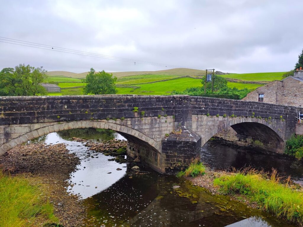
There are a number of ways we could get back to Settle from Stainforth, and all have their merits. We could cross the packhorse bridge at Knight Stainforth and Stainforth Force and follow the riverside path downstream, we could climb up to Catrigg Force then over to Winskill. We think the better route is indeed through Winskill but getting there via Stainforth Scar. To find this, walk down through the village past the village hall and then take the next left – there is a fingerpost to help, but it’s somewhat overgrown, and the track looks at first like a private drive, so is easy to miss.
This leads round to a gate where we pick up a path which edges left toward the tree line, then climbs steeply through the trees to arrive at the top of the scar. We are crossing limestone here, so care is needed in wet conditions.
Once above the treeline, we continue for another 200m until we see the farm at Lower Winskill on our left and take the ladder stile and then a gate through the farm and up the lane. Just 100m later we see a step stile on the right leading into a meadow where the path continues south toward Langcliffe.
It is immediately obvious that this is a well nurtured wildflower meadow – so please stay in single file to have the minimum impact here: Lower Winskill is a working farm and is owned by Tom Lord who farms the land in an admirably traditional and sympathetic manner. That is to say he farms both for commercial gain through his livestock but also aims to look after the wildlife of the Yorkshire Dales, especially the wildflowers and associated butterflies.
For more detail about this specila location, click here for aYorkshire Dales.org article, here for an article about Lower Winskill or here for a Craven Herald article.


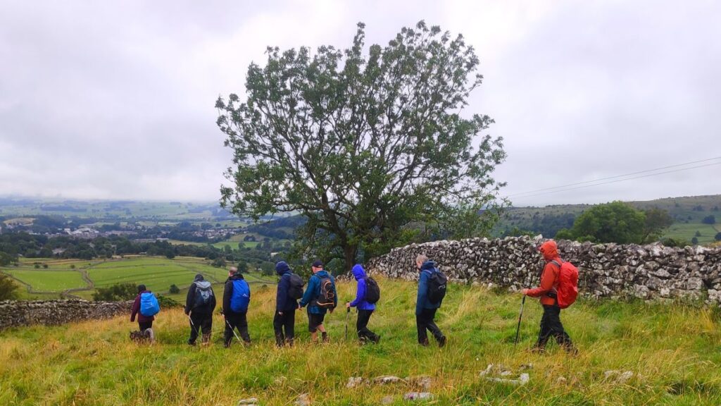
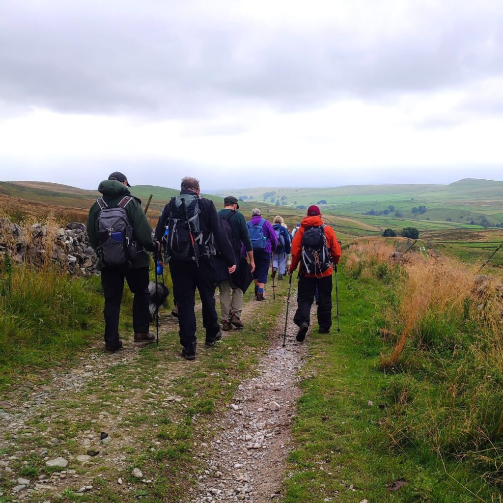
After the initial meadow, the path winds south for a while, passing through a wooded area known as Dick’s Ground plantation, before arriving at the end of a green lane that comes up from Langcliffe. We follow this lane all the way down into the village, to emerge at the car park in front of St John the Evangelist church.
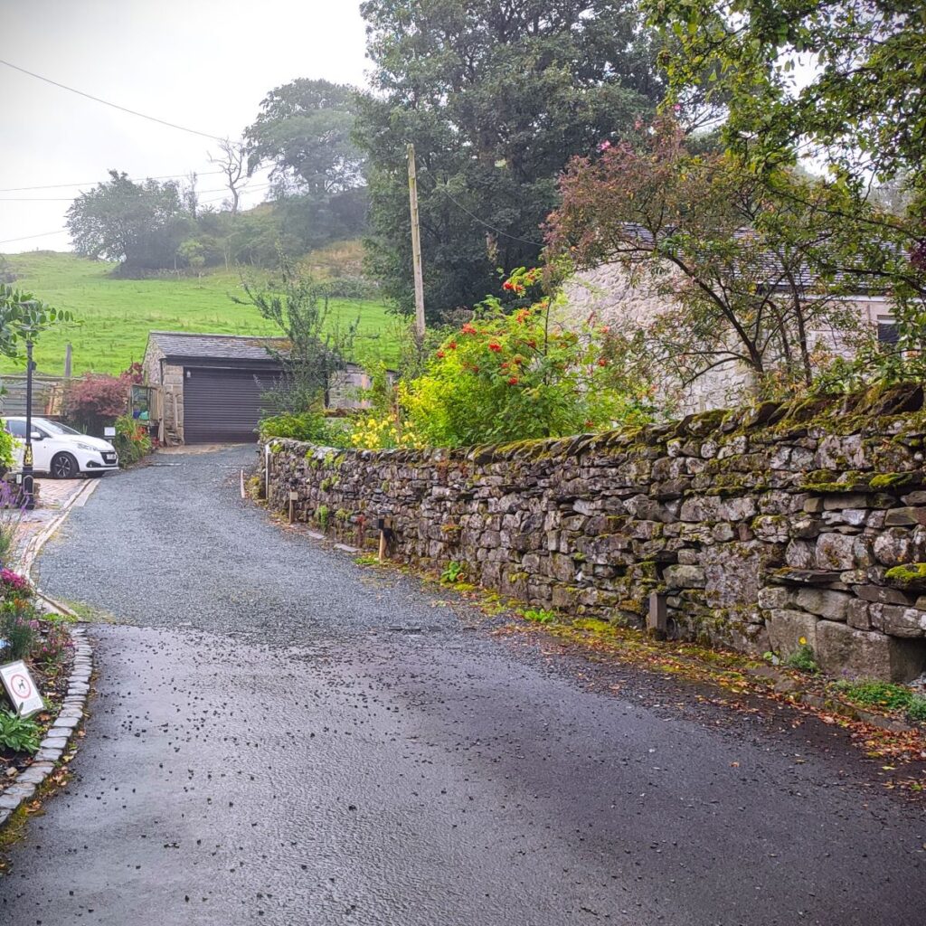
Just as we had choices at Stainforth, there are several routes from Langcliffe to Settle. We were trying to ensure we beat an incoming rain shower, so we took the quickest: We head right and skirt the village green until we note the war memorial and continue to Low Fold where we head right and down to the B6479. We then go left and walk down the main road for 200m until we see a lane on the left. This takes us back into Settle town centre in a traffic free manner, delivering us to the top end of the market square near the Co-op supermarket.
From there we head down to the town centre and cross the main road to head left until we get to Station Road – this as the name suggests, takes us back to the station.
We show this as a moderate walk – and there are no particularly difficult sections. The repeated cycle of ascents and descents adds to the workload so expect to feel tired when you arrive back in Settle. There are a number of establishments that can provide refreshment.