Jump to . . .Step by Step | OS Map | Downloads | Gallery | Fly through
During last week’s Chapel-le-Dale and Ingleborough environs walk we took a path down the side of the Ribblehead viaduct and enjoyed great views down the Ribble valley toward Pen-y-Ghent and Horton in Ribblesdale. This week we start from Horton and get a much closer look, this time with the viaduct in the far distance.
On a route that is a figure of eight – giving an opportunity to opt for a short version should the weather change – we get to see the two entrances to the Sell Gill Holes cave system before taking the Ribble Way path along the side of the valley as far as Old Ing. From there we cross Birkwith Moor to pick up the Pennine Way to bring us back toward Horton at a higher level. Once we get back to Sell Gill Holes, we opt to take a path across to New Houses rather than repeat the outbound route and end with a stroll along the banks of the Ribble.
- Total distance 11.4 km (7.1 miles)
- Total ascent 247 m
- Easy walk
Step-by-Step

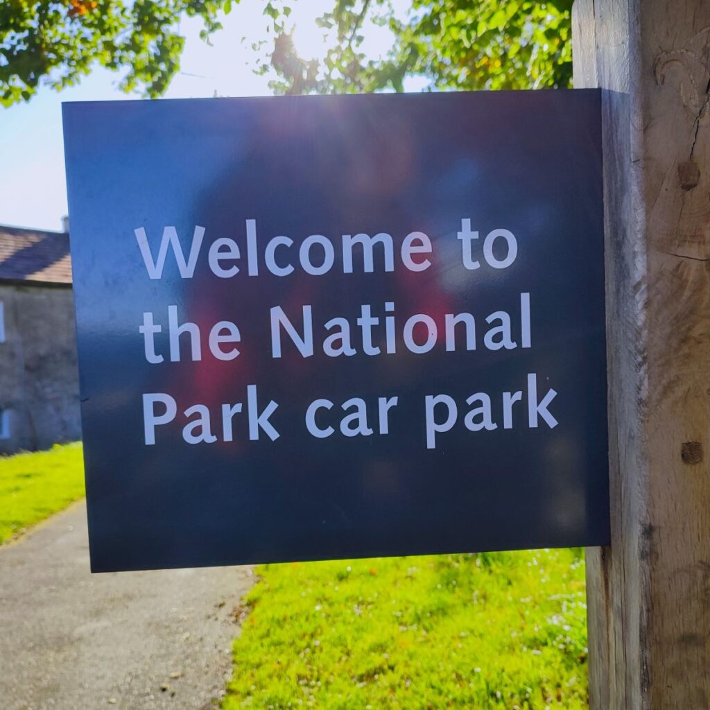
We start from Horton in Ribblesdale, using roadside parking, or during busier times, the National Park car park which is on the B6479 adjacent to the bridge where the road (rather confusingly called Pennine Way) crosses the Ribble. If you are using Satnav to get there then the postcode BD24 0HF, or street address Pennine Way, Horton in Ribblesdale will work. The What-3-Words tag is barstool.deny.origins or if you prefer paper maps, the OS grid reference is SD80767262. Toilets and EV charging are available at the National Park car park.
Horton in Ribblesdale is hugely popular with walkers and as well as being the obvious starting point for a three peaks walk, is part of three major long distance routes – the Ribble Way, the Pennine Journey and the Pennine Way. The Ribble Way follows the river from the Irish Sea to its source in the Dales and covers around 70 miles. The Pennine Journey is a 247 mile circular trek devised by the Wainwright Society, and the Pennine Way is a challenging 268 miles from Kirk Yetholm in Scotland to Edale in the Derbyshire Peak District. Parts of each of these routes feature in many other Bentham Footpath Group walks.
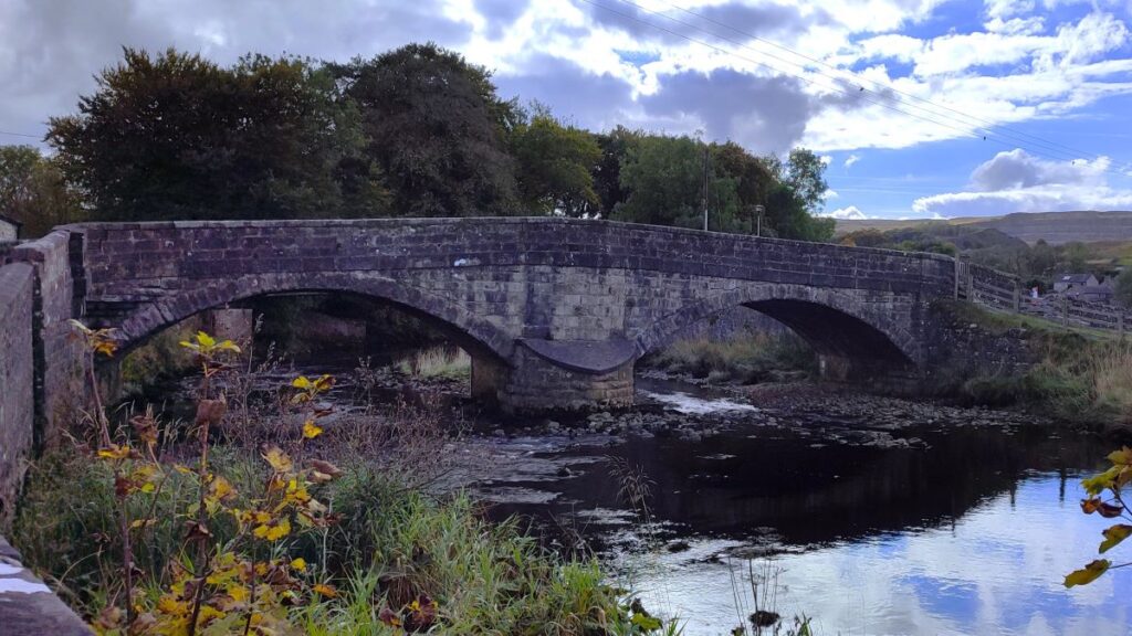
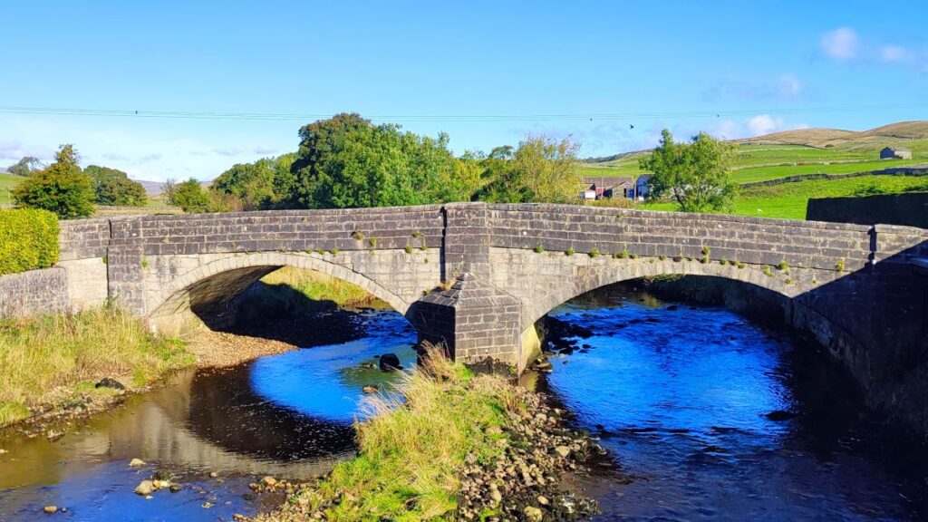
From the National Park car park, we head out onto the main road and turn left, as if heading toward Ribblehead. We immediately cross a bridge over a small beck, and then see the Crown Pub ahead of us – we need to take the small road to the right in front of the pub – we do not cross the Ribble.
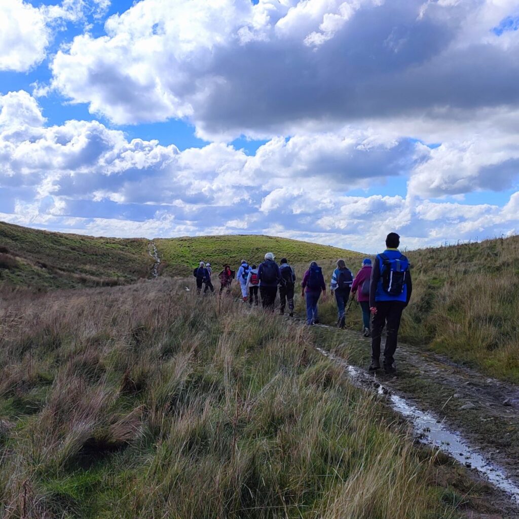
We pass the front of the pub and then turn left to walk up an enclosed lane – this is part of both the Ribble Way and the Pennine Way, so expect company.
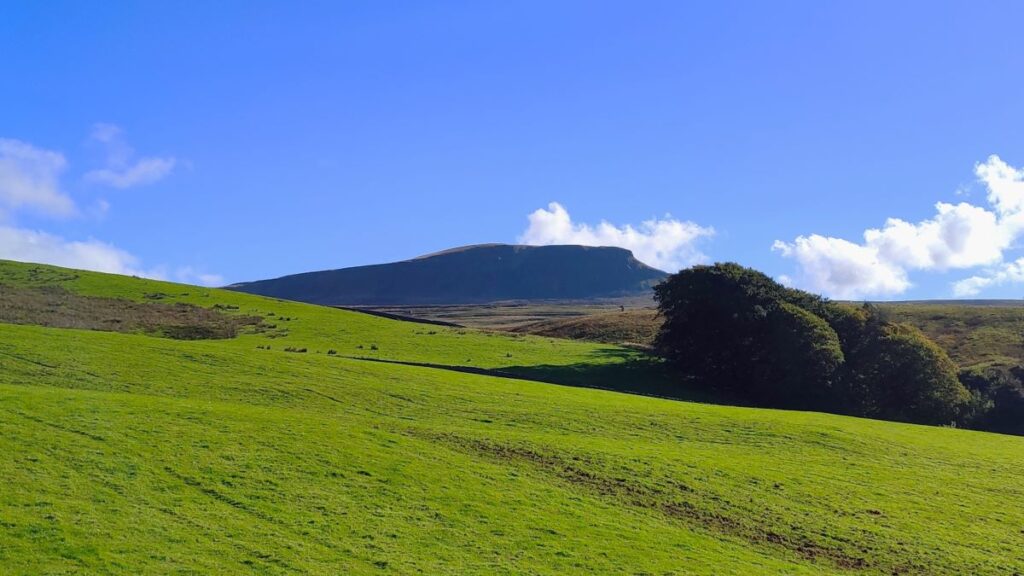
We climb quite steeply at first and soon have great views over Ribblesdale on the left, and Horton and the quarries behind us. Although many might see the scars of quarrying as a despoiling of the Dales, there is a certain beauty to the stark contrast between the exposed stone and the surrounding green when the sun shines brightly. As we climb higher still, we start to see Far Moor Tarn on the right. Check our Far Moor Bridge Walk for details of that. Over to our right meanwhile is Pen-y-Ghent, which despite its size is not always visible, as intermediate ridges are just a little too high.


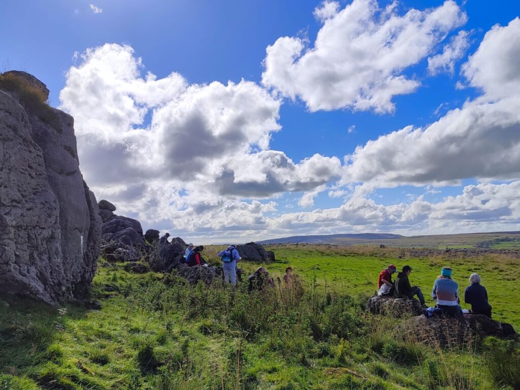
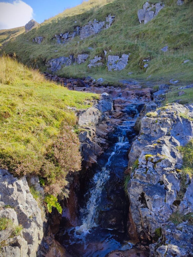
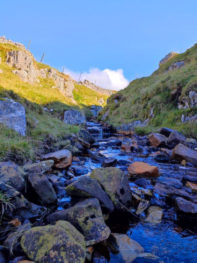
After climbing relentlessly for the next 1000m, the path levels a little and we note Sell Gill Holes over to our right: Sell Gill is one of many becks that tumble down from the higher moorland, and flow can be anything from a trickle in a long hot summer to a torrent in a period of prolonged rain. That in itself is not unusual, but what is particularly eye-catching about this stream is that it disappears down into a deep fissure in the limestone – apparently gone forever. There is a dry gulley on the far side of the path, with no trace of any watercourse emerging on the other side.
Underneath the Pennine Way path at this point, and probably not suspected by most walkers, is a large cave system. The gulley to the left is used to access it via a “dry route”, or for the even more adventurous, there is a route down through the waterfall where the beck disappears – this is referred to as the “Goblin Route”. Details of both can be found here , but be aware that although access is open, caving and potholing are specialist skills and should not be undertaken without suitable knowledge, equipment and support. So, for the majority of us, an interesting YouTube video of the inside of the cave must suffice.
Just beyond Sell Gill Holes, the Pennine Way and Ribble Way paths diverge. The Pennine Way path keeps to the right and stays on the hard track we have been following so far, whilst the Ribble Way – and the route we need – forks slightly to the left. Look for the Ribble Way marker posts.
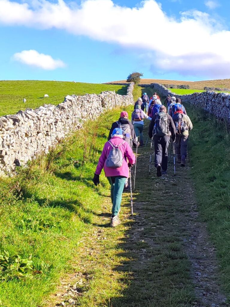
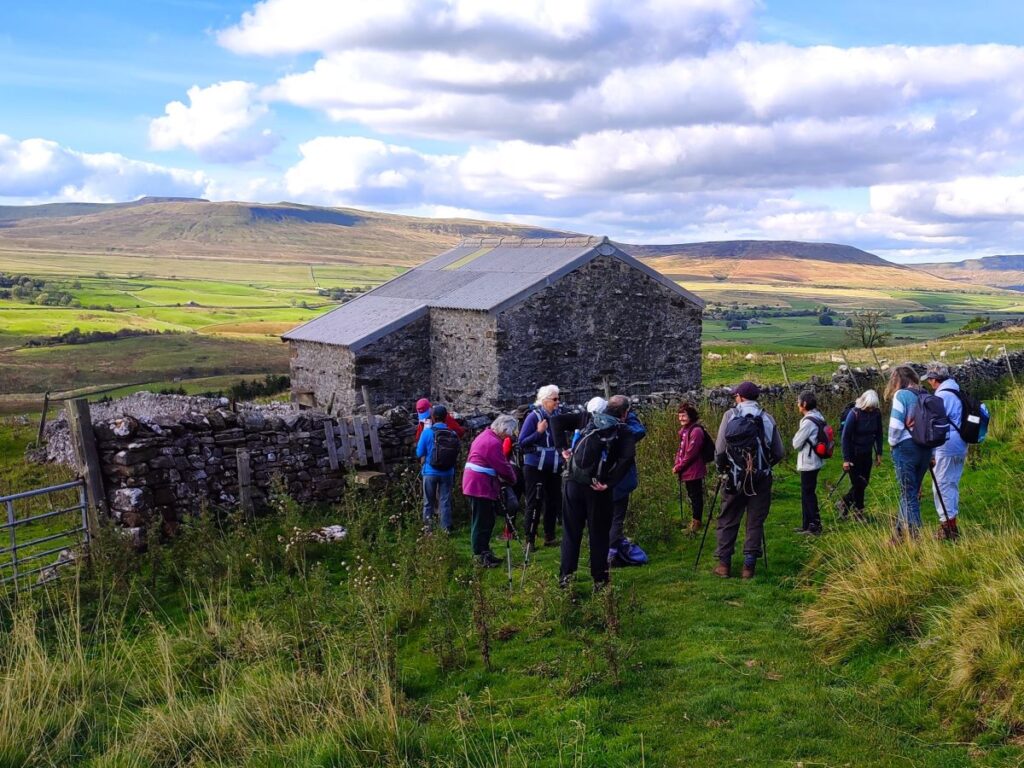
We now follow a drystone wall on our left, and soon see a barn ahead. The path goes over a stile in front of the barn, and then turns right to pass behind the barn such that we contour round the hillside heading northwest.
We have a further stile ahead, and then almost immediately a gate, after which we stay on the contours until we get to a further stile / gate pairing. Our landmark here is an old lime kiln over to our right, and at this point the path splits in two, so care is needed:


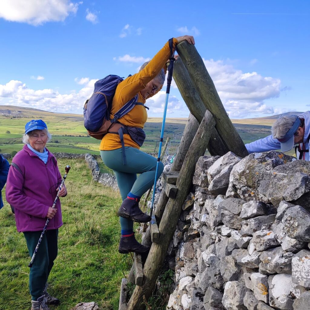
From the gate / stile just before the lime kiln (the kiln being on the far side of the wall to your right) look along the wall and find the ladder stile ahead. You will note that there is also a clear path downhill – ignore this.
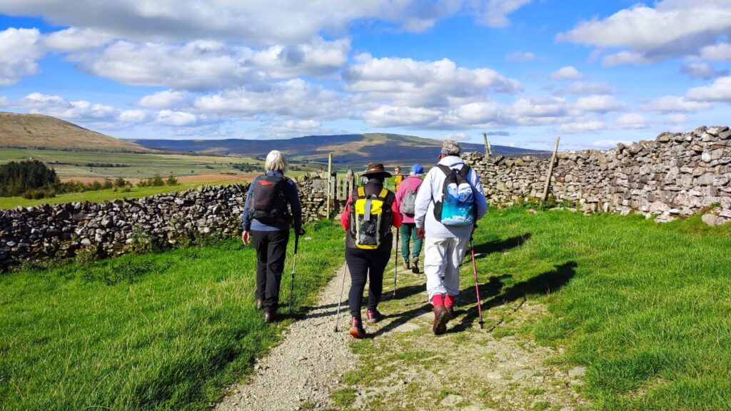
Once over the stile, we follow the path along the base of a scar for about 1000m, with a clear patch of woodland ahead of us as a landmark. As we approach the trees, there is a particularly fine view across the valley to the Ribblehead Viaduct, and if the sun is in the right direction, the arches are picked out rather atmospherically. Also of note here is a fine area of limestone pavement, so we paused here for lunch to enjoy both.
To continue, we look to the far right of the trees and find a gate and follow the path passing a fingerpost in the middle of the field directing us to a rough lane. Notice the small hill on the right which bears a wonderful name – Dismal Hill. At the lane we go right and head up toward Old Ing. Here the path forks – we go right and follow the Pennine Way uphill for about 150m. At this point the track we are on bears left heading toward woodland, whilst the Pennine Way bears right and goes through a gate next to a derelict barn before crossing grassland at Low Birkwith Moor.
The path through the grassland is no more than 200m, although in wet weather it may well be marshy and so feel further, and at the far side we cross the drystone wall and head sharp right on an old packhorse route. We are now heading back the way we came, on a path signed as “restricted byway Horton in Ribblesdale” and are more or less parallel with our outbound route – just 50m higher. Despite this relatively small vertical separation, the views from here are fundamentally different, and we see no sign of the morning’s path.

We follow this wide and well used path for about 2000m now, with relatively little change in elevation. We pass a number of pot hole entrances as we follow the track (still the Pennine Way) as far as Sell Gill Holes. Curiously, despite having been at the barn earlier in the day, when approached from this new angle it does not immediately look familiar.

We cross the stile in front of the barn again, but this time strike out across the field toward Horton – we are now on the home straight, and because we are now off the more popular long distance paths, the route may be less obvious.
We cross a couple of fields with rough pasture and grazing sheep before we arrive at what in summer is a very attractive wildflower meadow, where (in single file to minimize damage) we cross to a second meadow on the way down to a gate onto rougher pasture.
Below, we see a farm track and we head down to that, to turn left passing through the farmyard and onto a minor road at a hamlet referred to as New Houses.
At New Houses we pick up a minor road. To the right it runs to High Birkwith, but we head left and follow the lane gently downhill to Horton. At this point we are following the Ribble, although it is often masked from view until the final section where we arrive back in Horton at The Crown pub and cross the bridge to return to our cars.
Bentham Footpath Group walks are classified according to length and change in elevation, and this walk comes in at the top end of our “easy” category. It is worth noting however that on the section of Ribble way from Sell Gill Holes to Old Ing, there is steep descent down to a wooden footbridge over a small stream. This can be quite challenging, so if you are deliberately seeking an easier walk, you may be better to try one of our other offerings first.