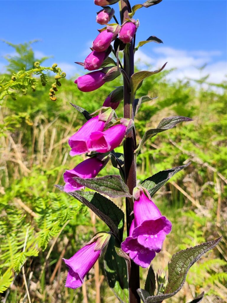
Infamous for its links to the witch trials of 1612, Pendle Hill and the surrounding villages are a lovely part of the Forest of Bowland Area of Outstanding Natural Beauty (AONB). Bentham Footpath Group explored the Sabden Valley in an earlier walk (available here) and have climbed Pendle hill before – though prior to logging our walks on our website.
For this walk we climb Pendle Hill again, starting from the Nick of Pendle on the Clitheroe Road. Rather than walking on the road to start the climb, we cross and head west to pick up the Ribble Valley Jubilee Trail at Parsley Barn, and then cross the road higher up, to head up Pendleton Moor. Instead of taking the direct route up Pendle Hill though, we veer left and circle round it via Mearley Moor and Pendle Moor before reaching the peak. Our return route is via Boar Clough then Ogden Clough, before climbing Black Hill to gain great views over Churn Clough reservoir.
From there it’s an easy walk back to the Nick. Although classed as “moderate”, be aware that this walk can be challenging in poor weather.
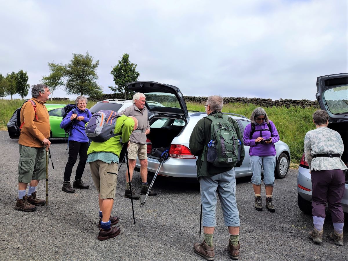
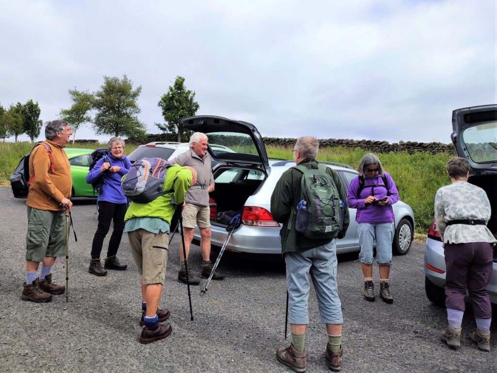
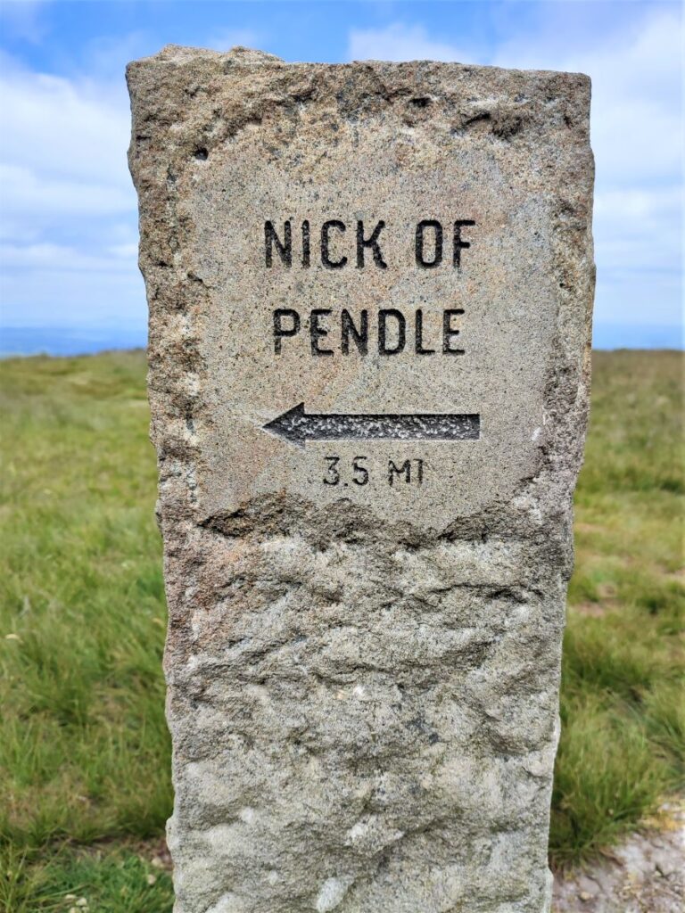
We start from the layby at the Nick of Pendle – a favourite starting point for walks in this area. From the A59, take the sign for Sabden at the roundabout and then follow the road uphill over the moors until you start heading downhill.
On the way down, look out for a cattle grid and then, just beyond, a parking spot on the left as you head toward Sabden. The OS grid reference for the parking is SD77533806, whilst the what-3 words tag is formally.formless.workflow. If you are using Satnav, then the address Clitheroe Road, Sabden should work – but note that you don’t need to go as far as Sabden.
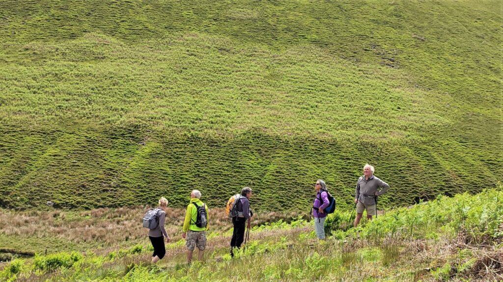
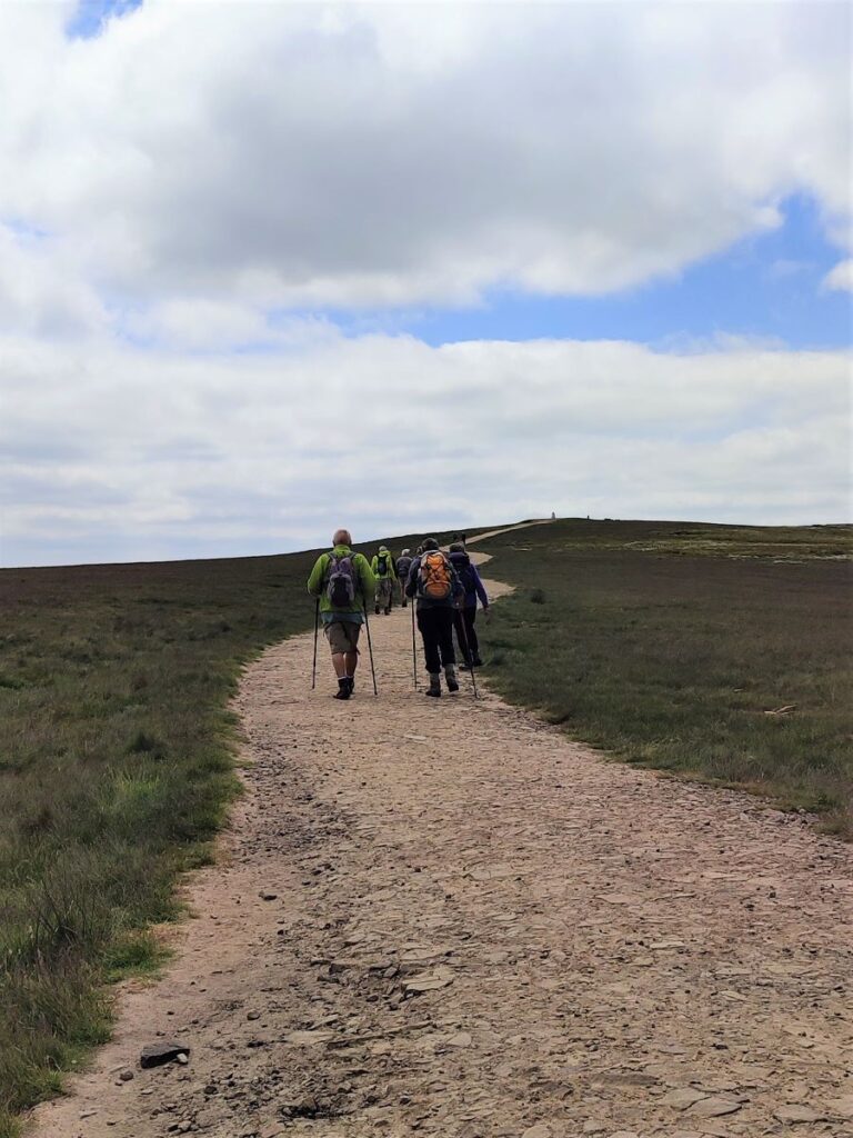
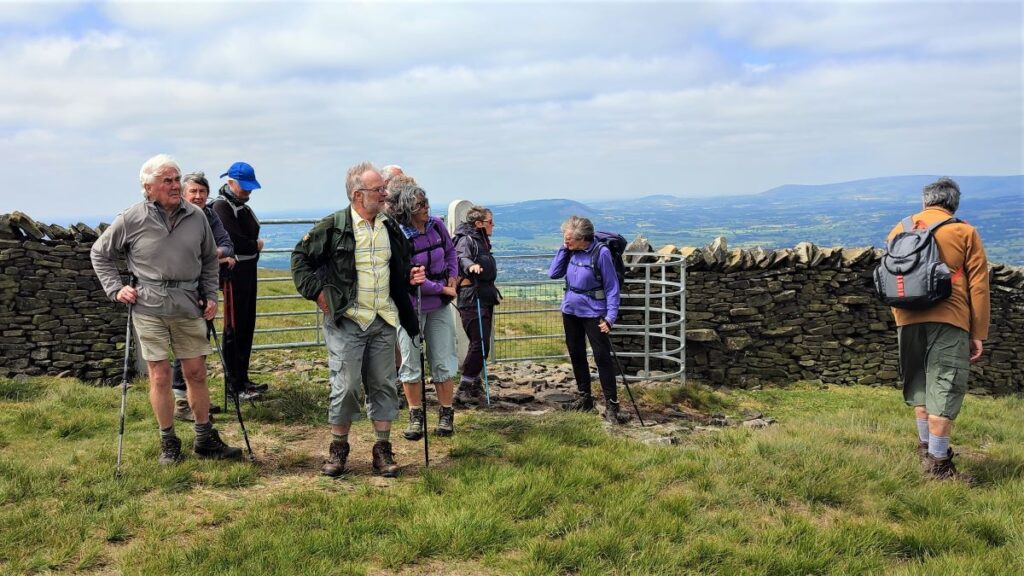
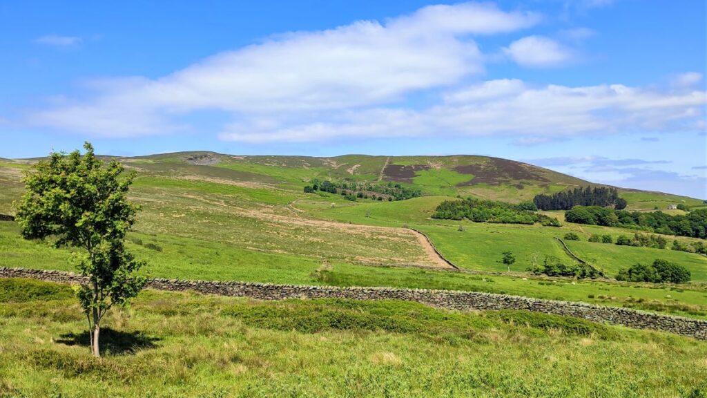
Having parked, Pendle Hill is to the Northeast, so obviously we cross the road and take the waymarked footpath that heads Southwest. We do this to avoid walking up the road, and because there are great views across the valley to Sabden, and White Hill to be enjoyed before we engage with Pendle Hill.
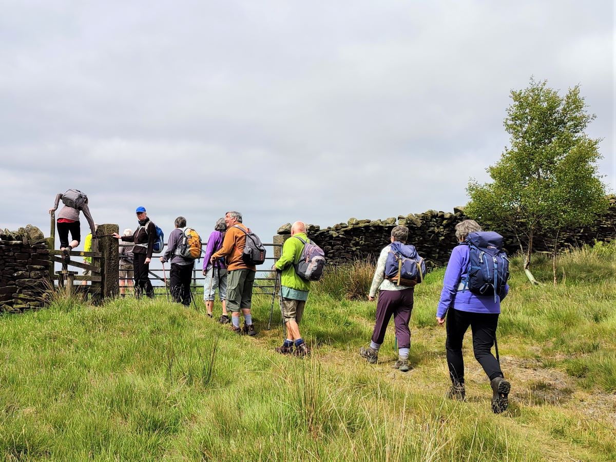
After a short climb from the road, we cross a stile and head across the fields using a whitewashed farmhouse in the distance as a landmark. The path takes us through a gate into another field and then steeply downhill to cross a beck. The path we initially took now continues on to the white farm building at Wilkins Heys, but we need to look over to the right and head for the stone barn known as Parsley Barn, where we pick up the Ribble Valley Jubilee Trail, a new 65-mile circular hiking route through the scenic rolling countryside and spectacular uplands of the Ribble Valley and Forest of Bowland. You can find more details of the RVJT here.
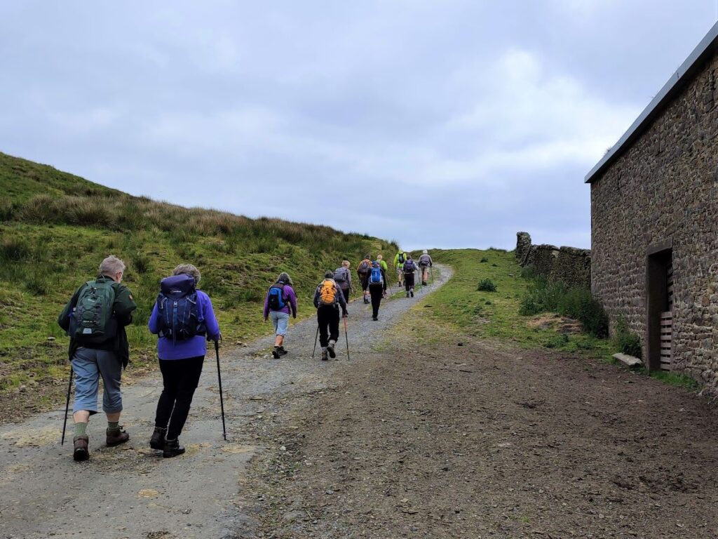
We take the path past the barn, and soon find ourselves back at the Clitheroe Road – although somewhat uphill from where we parked. We head uphill (i.e. to the left) and then cross the road to pick up the clear path to the left of the disused quarry – note that the roadside section of the walk is short, so if you find yourself seeing the Wellsprings restaurant, you have gone too far and need to retrace.
Speaking of paths, it is worth noting that there are so many paths to choose from in this area that it would be very easy take the “wrong” one – wrong in the sense that the rest of the directions may make no sense. We therefore recommend that you download our GPX and use a navigation device in combination with these notes.
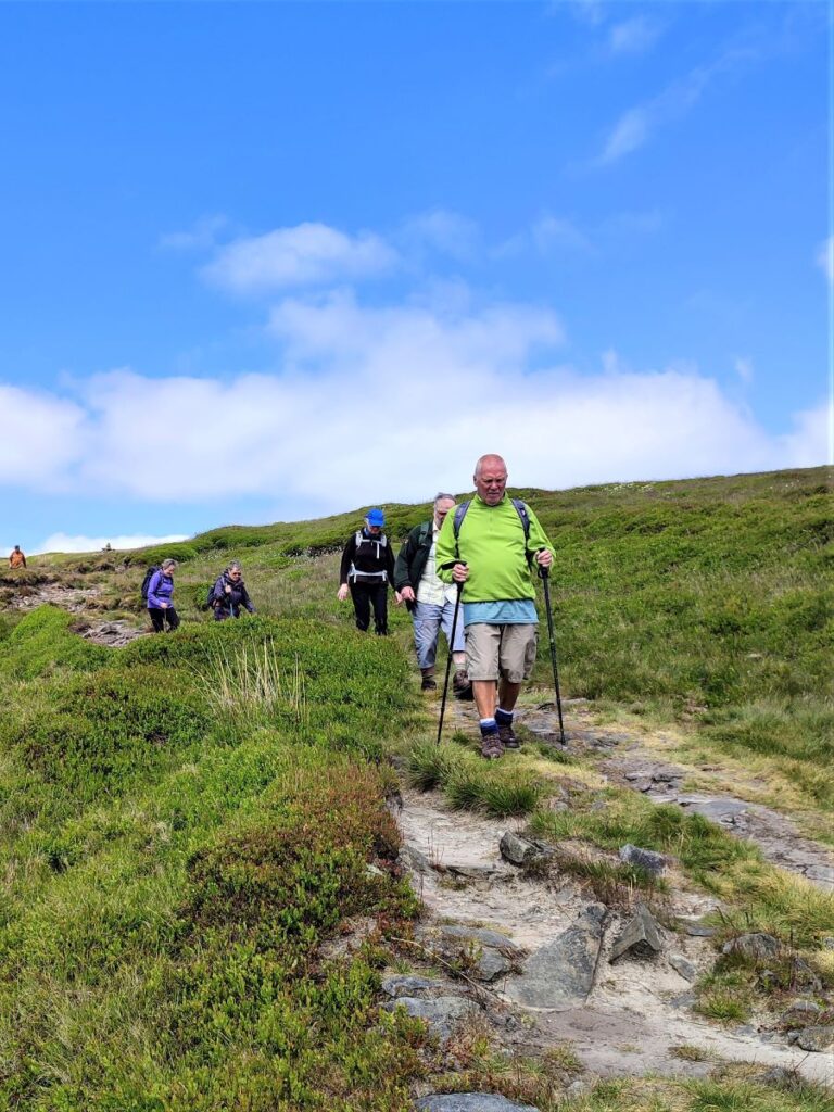
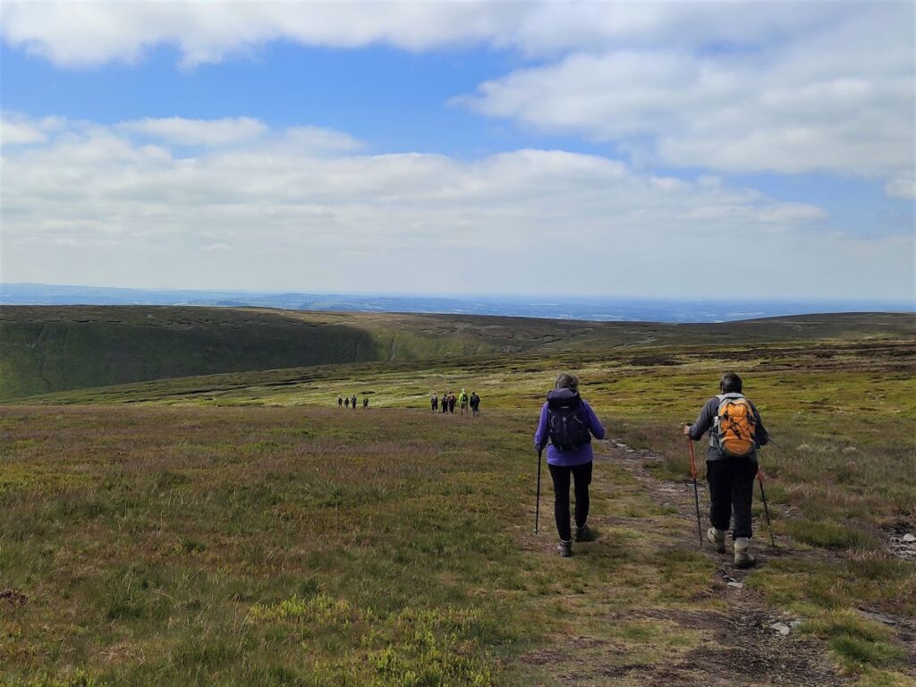
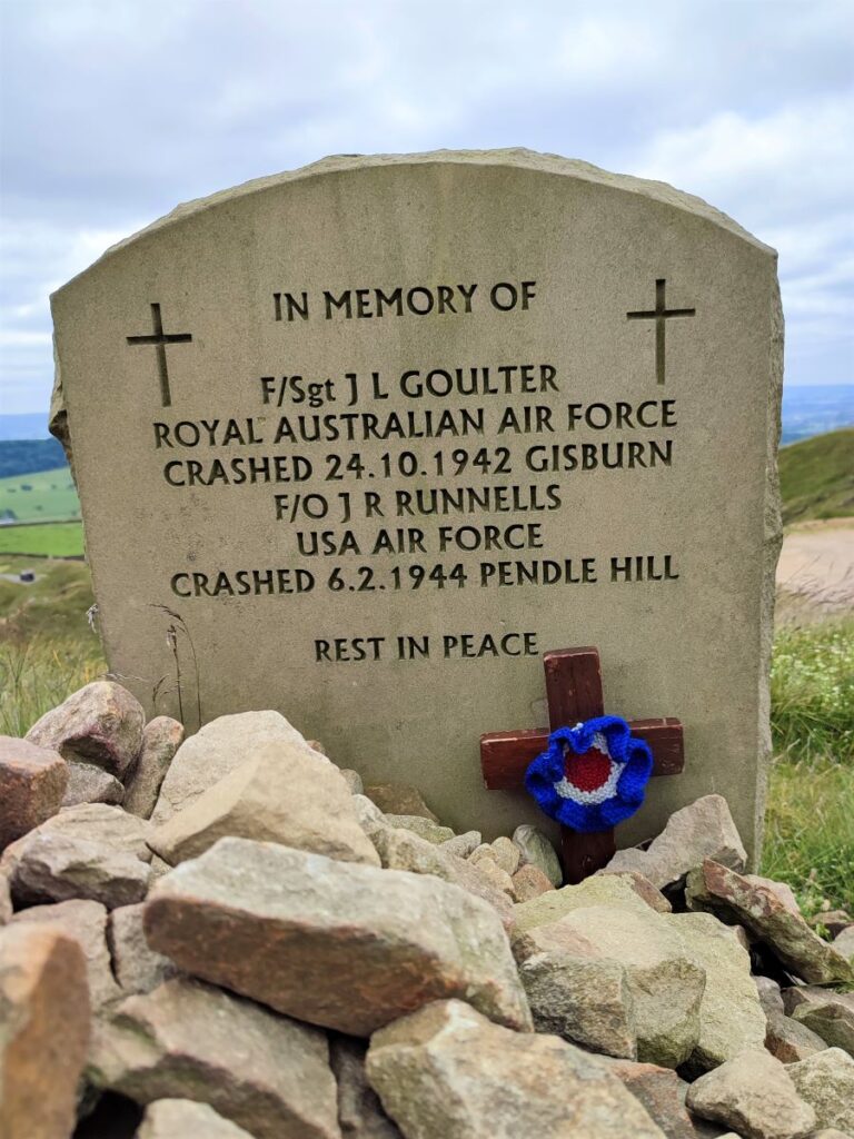
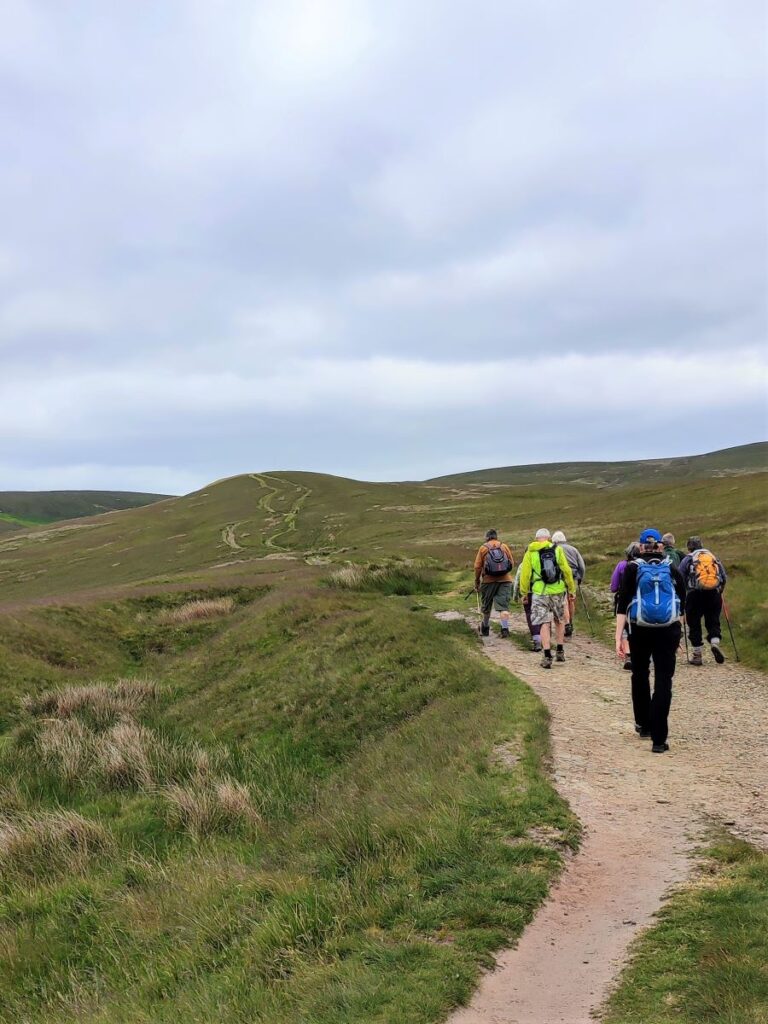
The path now heads uphill, and as this is one of the popular routes up Pendle Hill, the route is clear and well worn. An interesting landmark next to the path, just off the road is a memorial to two allied airmen who died in plane crashes during the second world war.
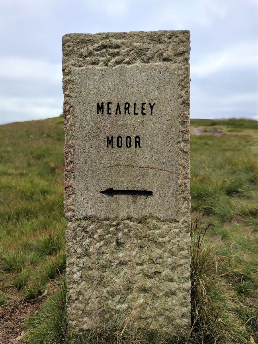
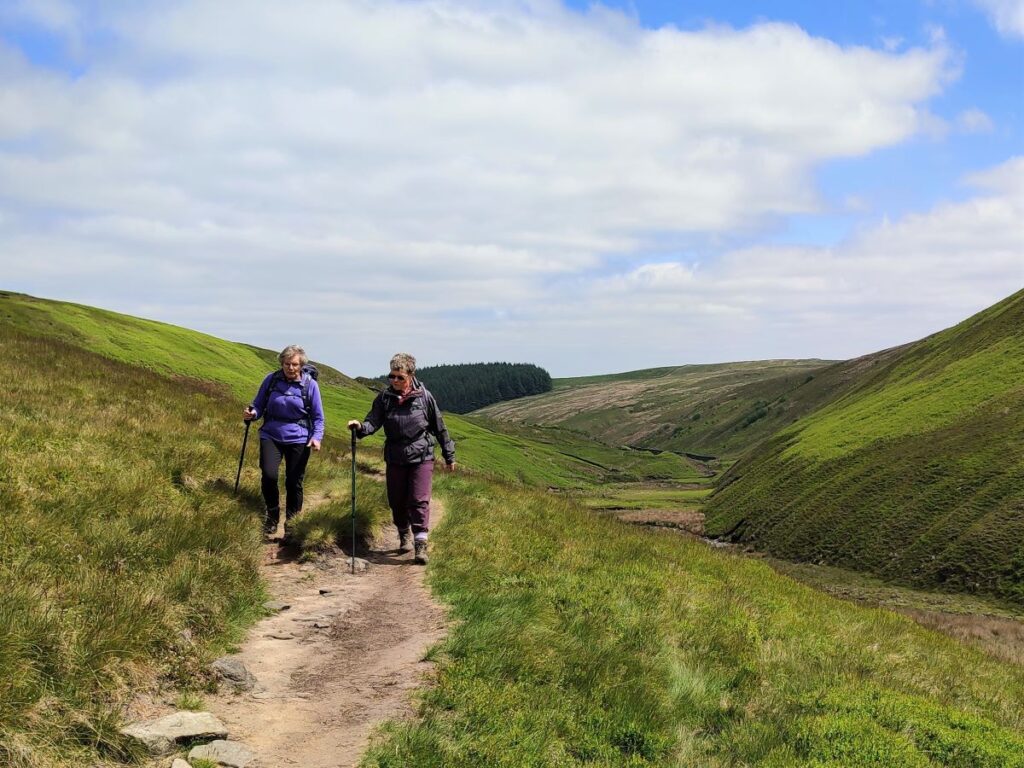
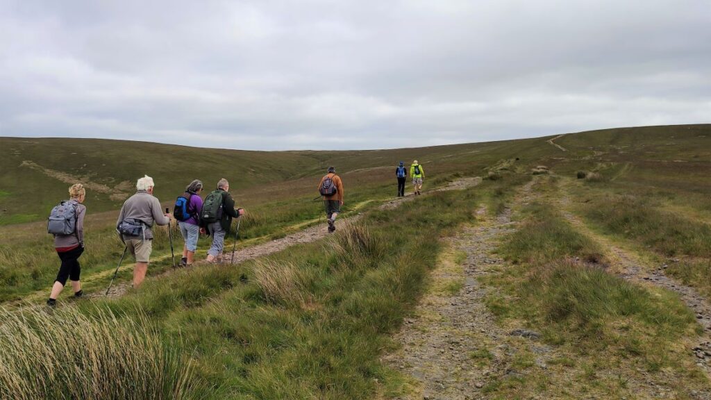
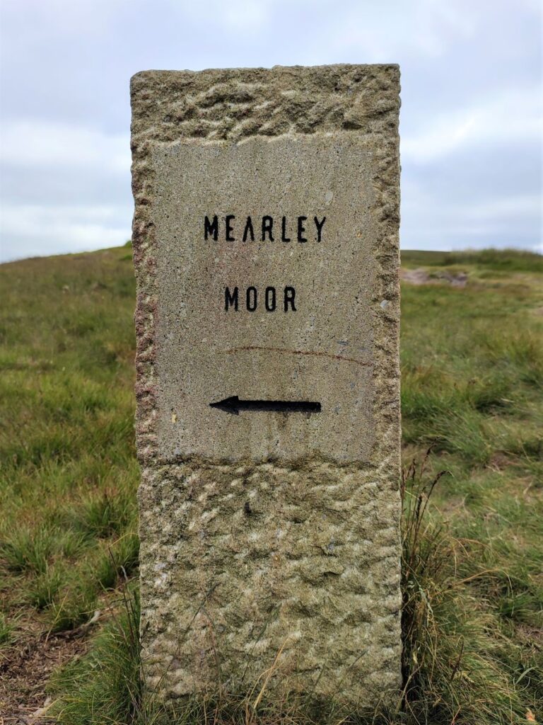
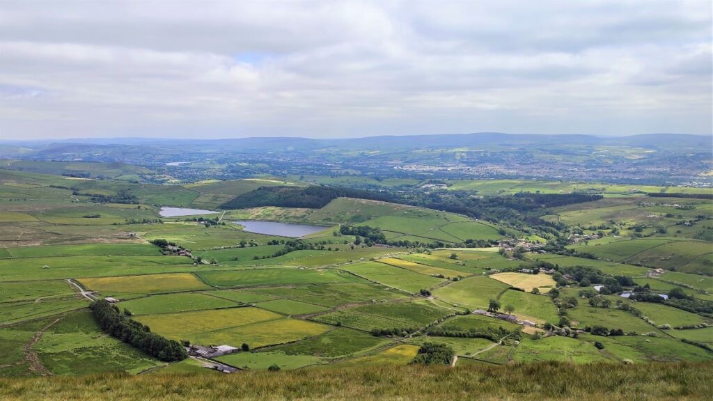
From here we head uphill, with great views across the valley toward Clitheroe on our left. We are still on the Ribble Valley Jubilee Trail at this point – In order to go directly to Pendle Hill, it veers right toward Ogden Clough, and at this point we find a stone way marker for Mearley Moor to take a less trodden path slightly to the left.
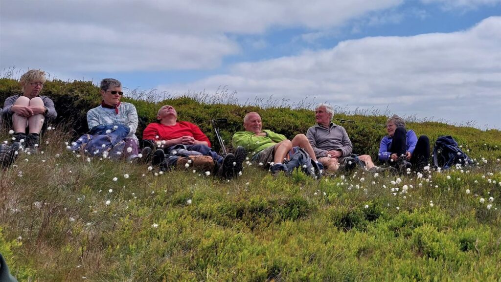
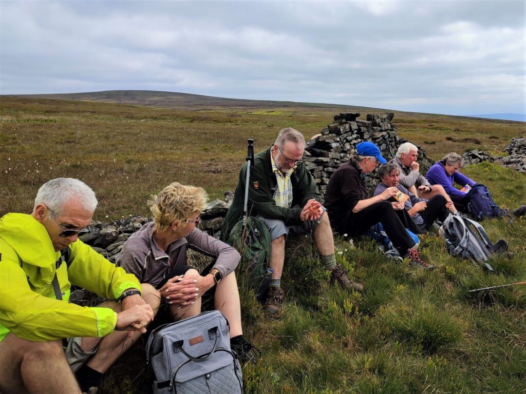
We now head North, still climbing, toward the remains of a drystone wall, where having paused for a break, we enjoy the views down the Ribble Valley with Longridge Fell on the far side.
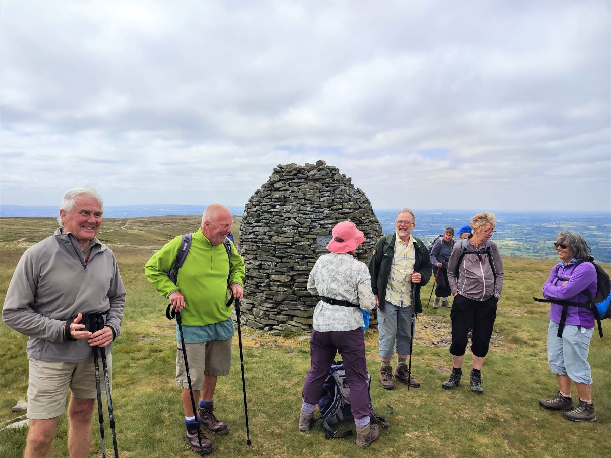
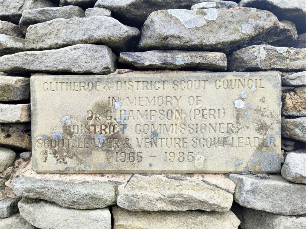
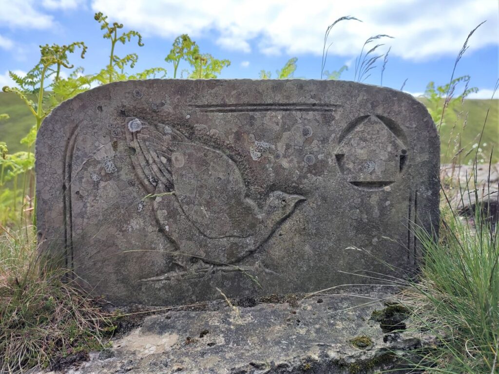
Refreshed, we head uphill again using a cairn in the distance as a landmark. This is damned by faint praise on the OS map as a Pile of Stones, whereas in actuality it is a monument to the scouting movement – with dedication stones on each of four sides, including one to a former Clitheroe doctor and scout district commissioner Gordon ‘Peri’ Hampson, who died in 1985.
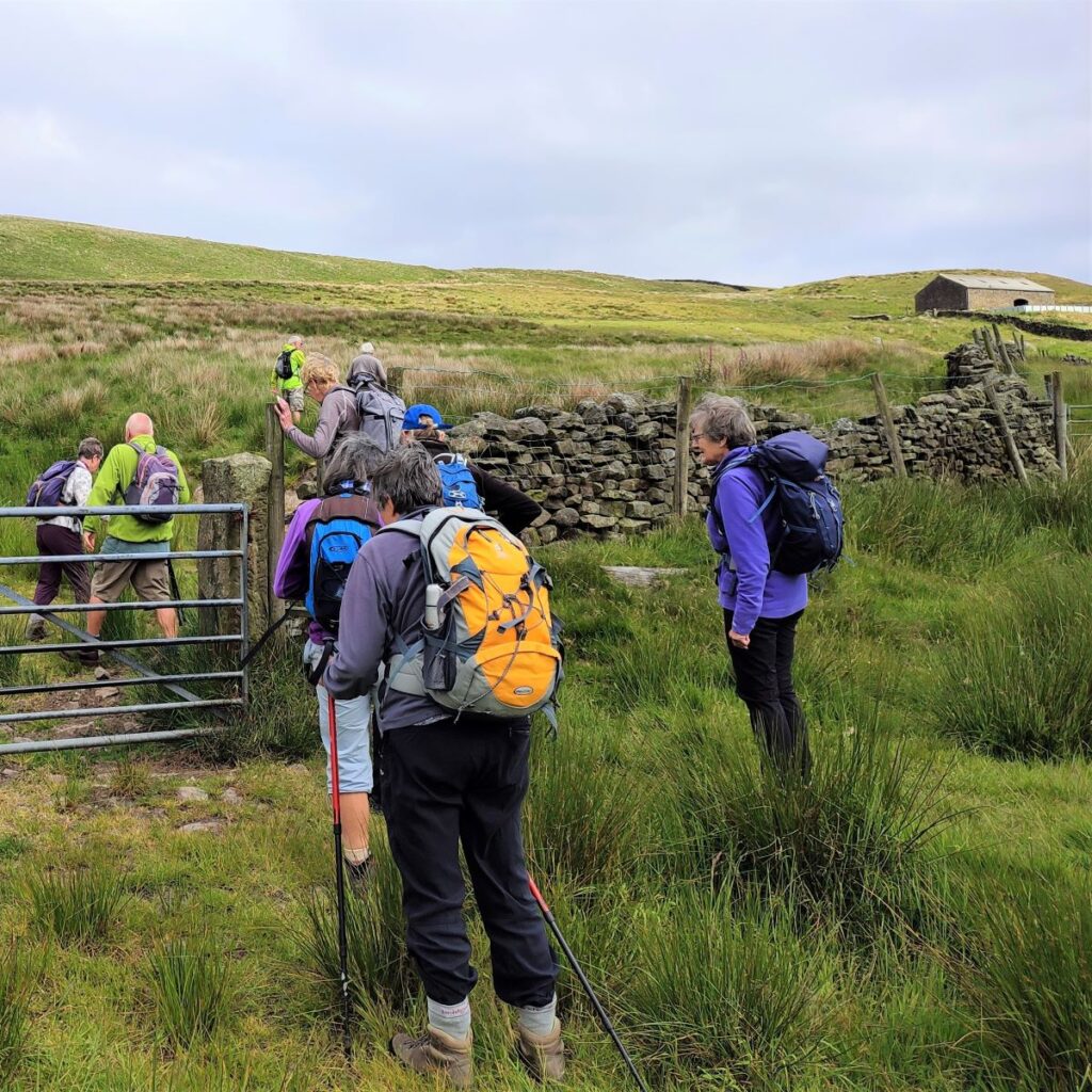
From here, we look Northeast to spot a stone shelter which is our next landmark, we pass this and continue to a gate where we find a way marker indicating that we are now 3.5 miles from the Nick of Pendle where we started. We now head East to a further gate where we meet the main path up Pendle hill – the route from here is very obvious.
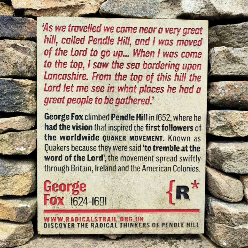
Worth noting to the left just through that gate is another stone shelter and adjacent to it a plaque commemorating George Fox the founder of the Quaker Movement. The information on that board is provided by an organisation called Pendle Radicals, which celebrates radical thinkers associated with the area. Included on their list is Tom Criddle Stephenson – the driving force behind the creation of the Pennine Way. Wainwright is perhaps better known to the general public, but for walkers and countryside campaigners, Tom Stephenson has been just as important a figure – you can find more about Stephenson, Fox, and others at thiswebsite.
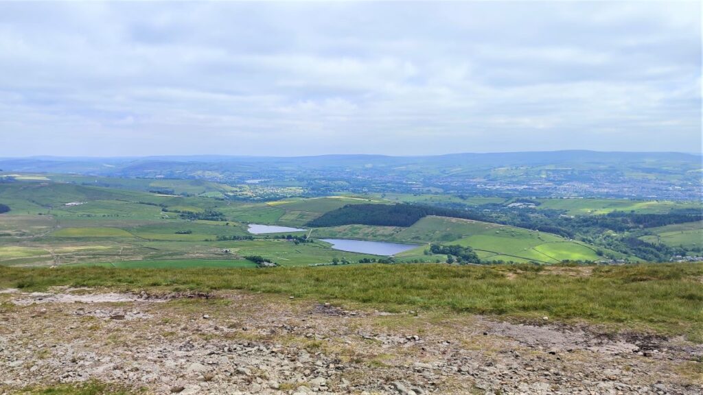
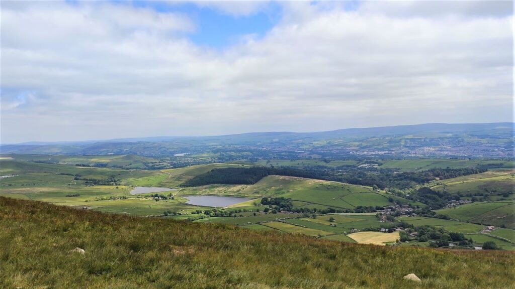
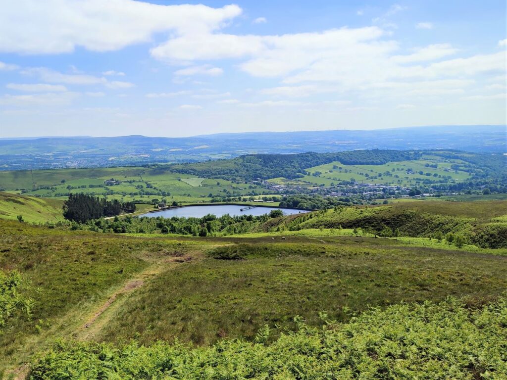
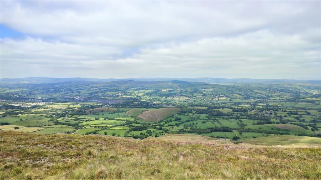
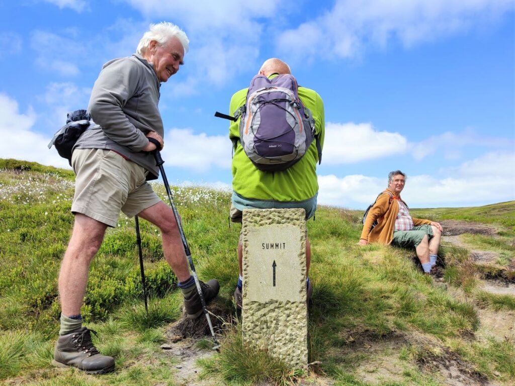
We now press on to the summit at Big End (also called Beacon End) – it’s not far now, and the last part of the climb is not steep. Once we get there, we suddenly gain views across the valley to Barley, with the reservoirs at Lower Black Moss sparkling in the distance.
At the summit there is a trig point, and around this, and installed in April 2019, are twelve sculptures known as the Pendle Hill Summit Stones. Commissioned by the Pendle Hill Landscape Partnership and In-Situ, they represent the meeting of man and nature – the Anthropocene. For more information, visit thissite.
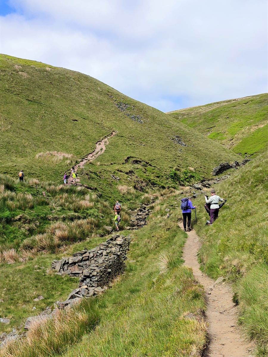
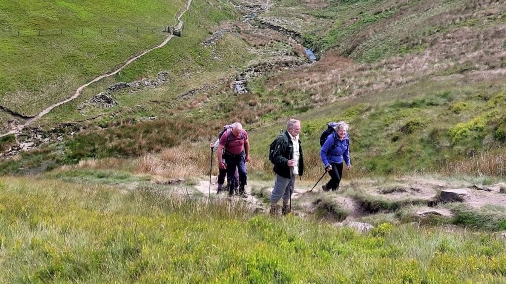
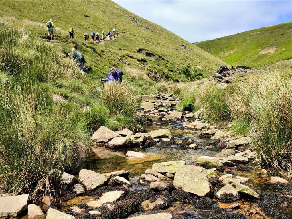
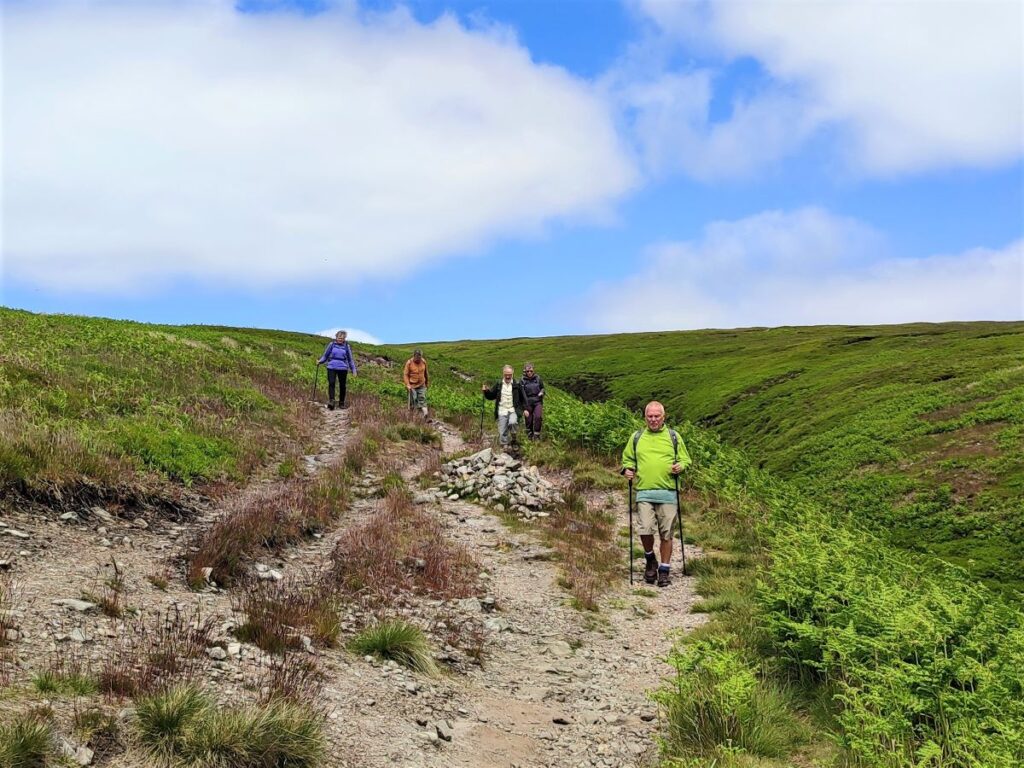
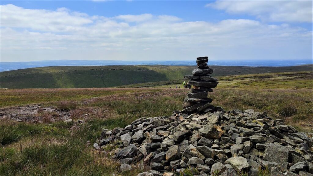
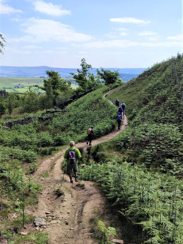
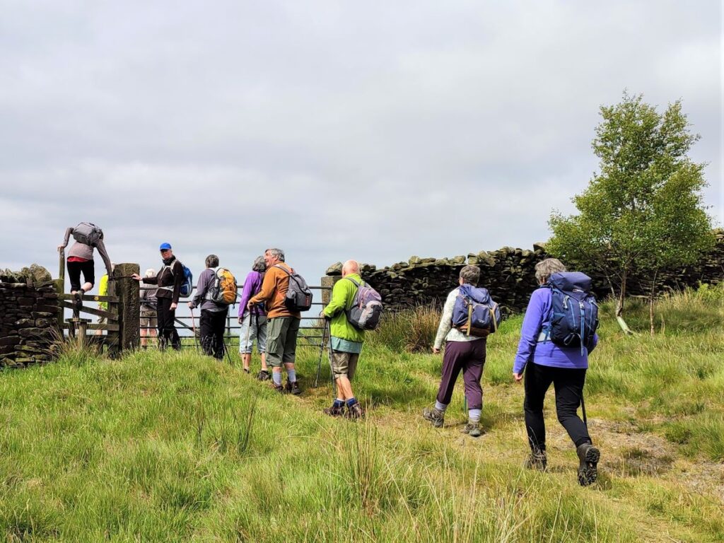
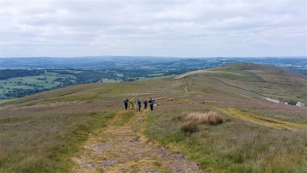
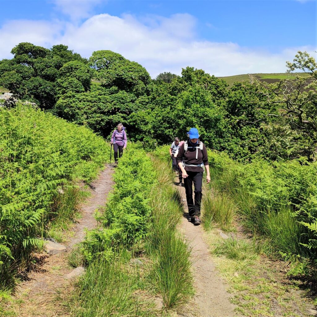
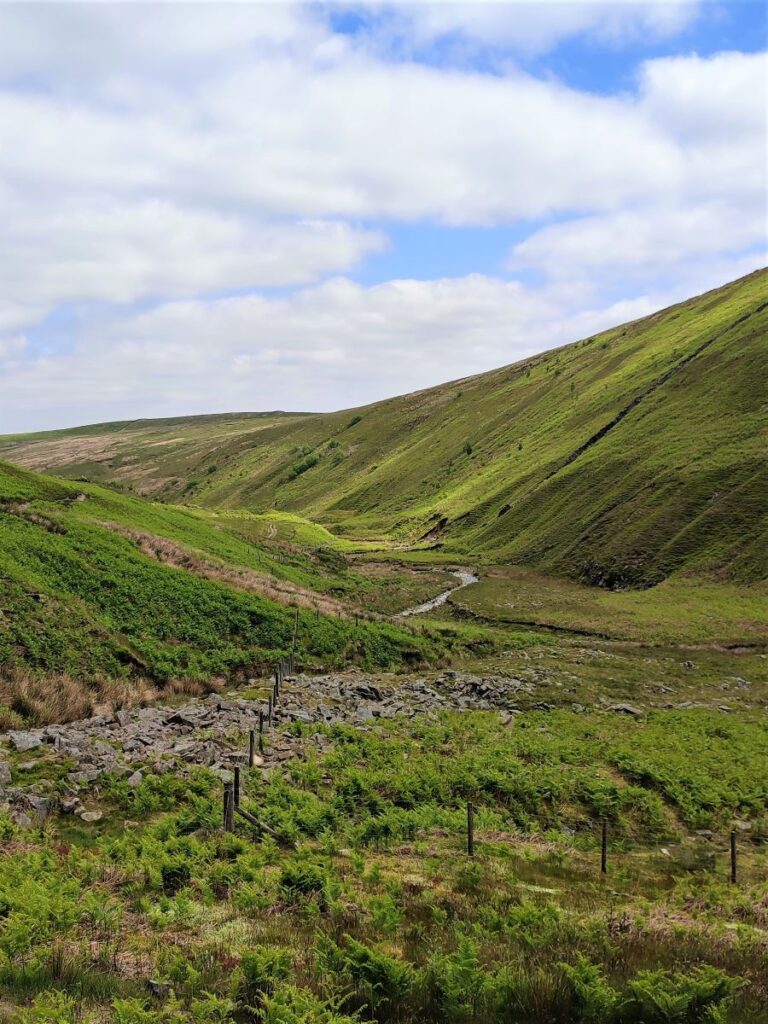
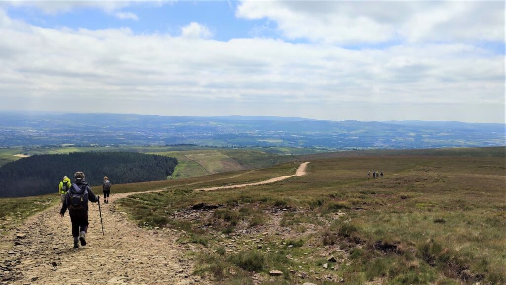
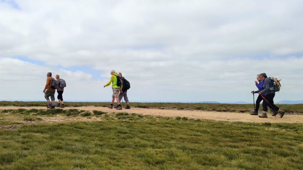
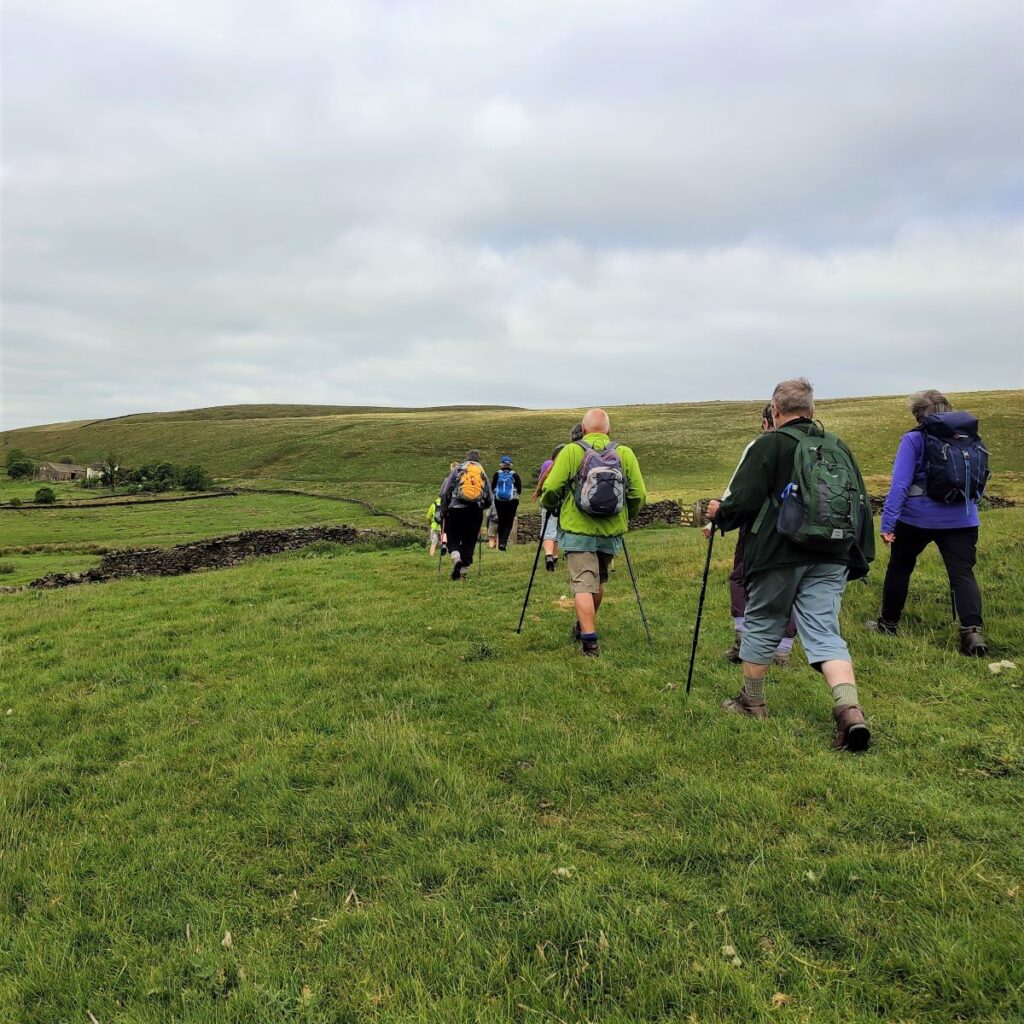
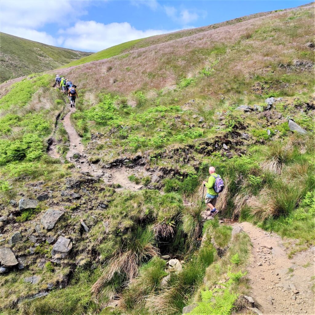
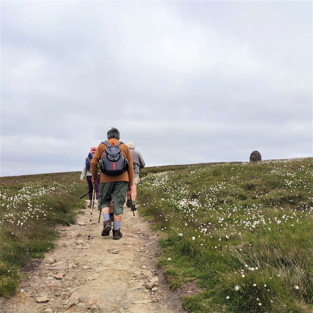
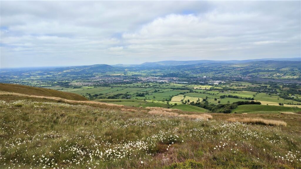
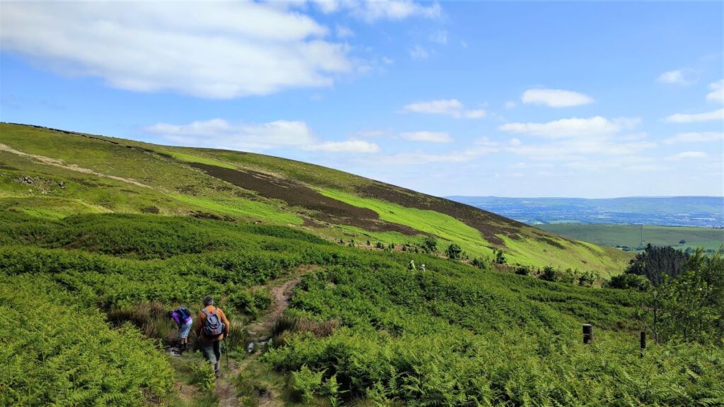
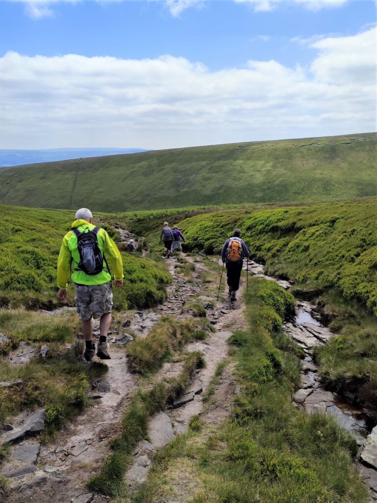
The next part of the walk is along the flatish ridge, before we start heading downhill. This is a very well used path, so the route is clear, but we need to take care because as the main path heads South, we need to peel off slightly to the right and head for the steep valley of Boar Clough, taking this down to meet the even more impressive Ogden Clough. If you notice on this picture – the main path heads to the centre of the picture whilst our lesser used path is over to the right with a group heading along it.
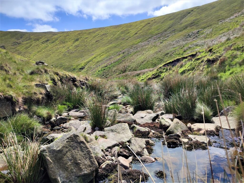
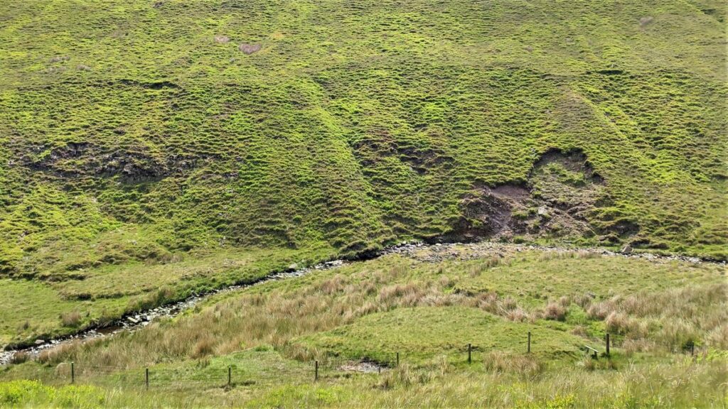
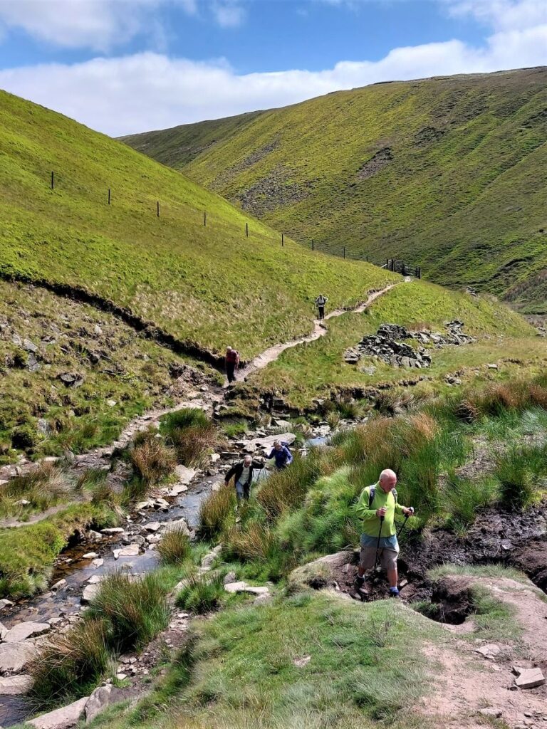
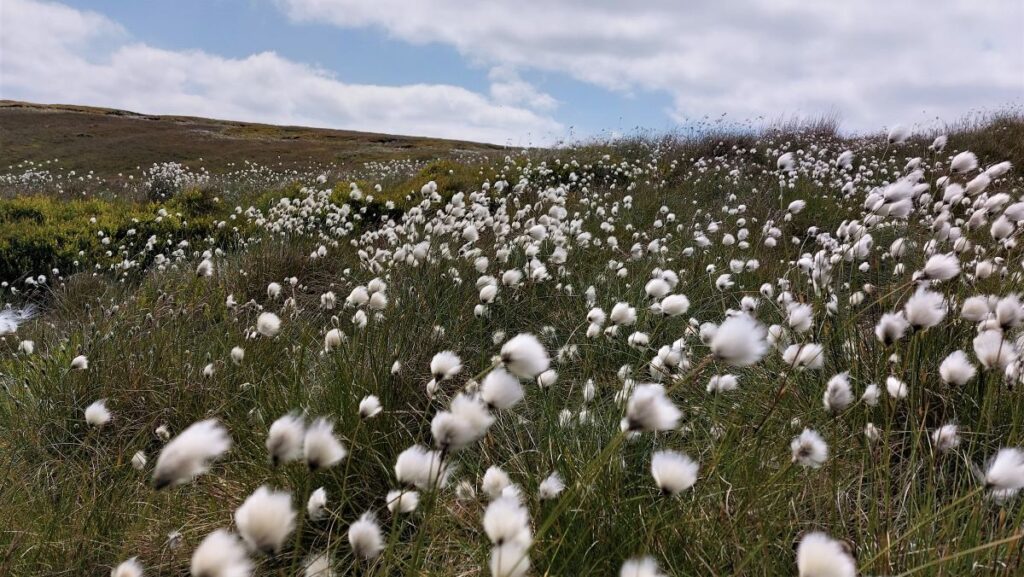
We now follow Boar Clough downhill with the channel of the watercourse never far from view. After weeks of dry weather this may not be apparent – after heavy rain it certainly will be.
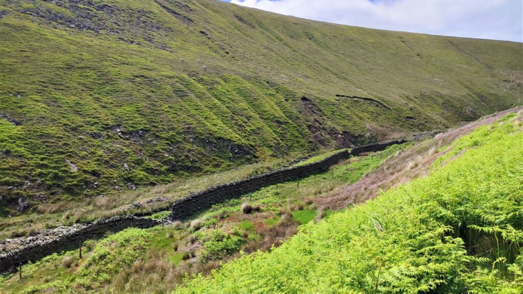
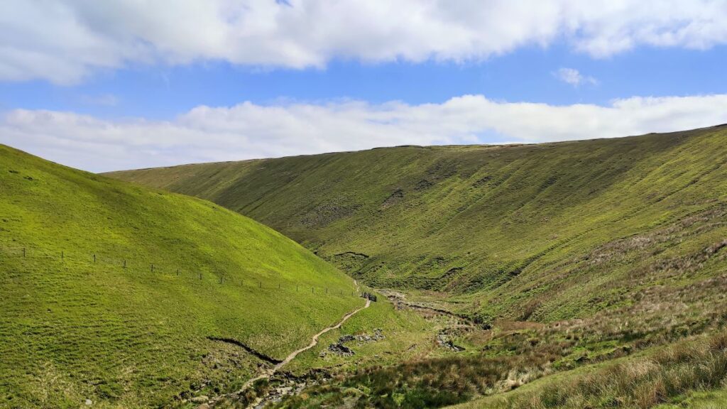
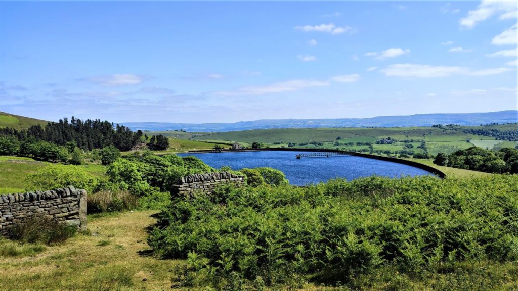
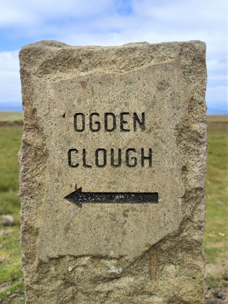
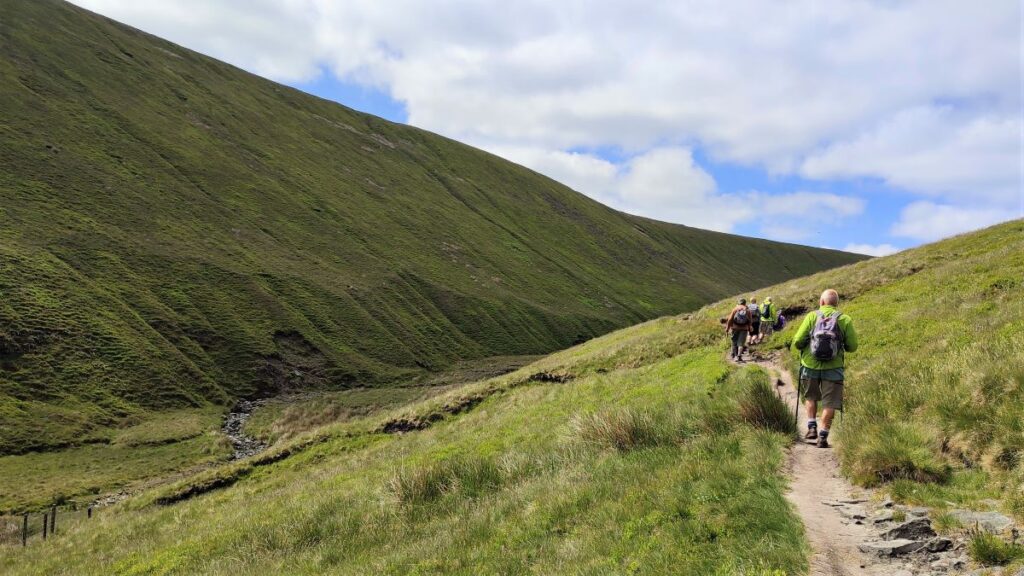
The Clough gets increasingly steep as we descend, and the last few hundred meters until we meet Ogden Clough require considerable care. Once we meet Ogden Clough, things become easier, and we head right, although it’s worth noting that to the left and no more than 250m away is Upper Ogden Reservoir, so if you are feeling energetic that’s a potential addition that may be worth considering.
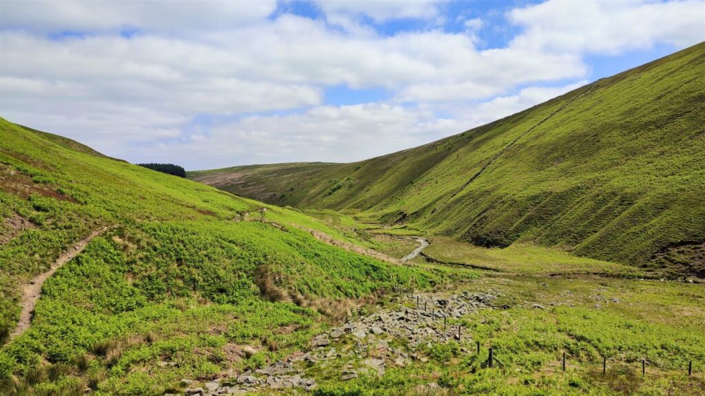
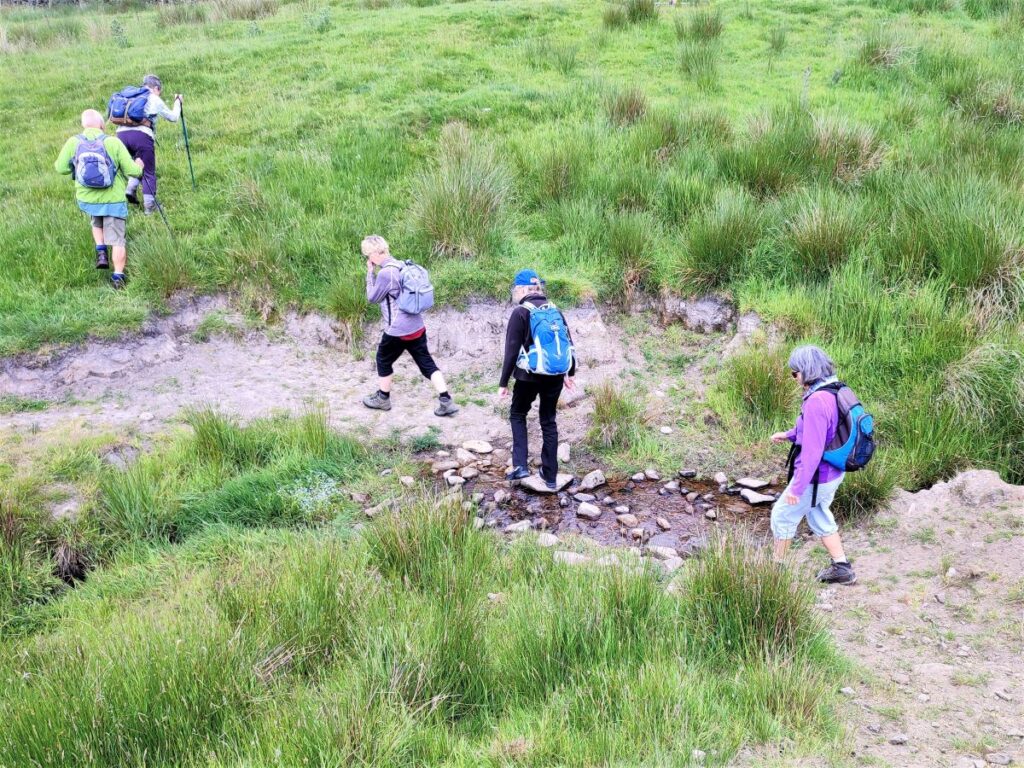
We now head up Ogden Clough on a path that is clear but refreshingly free from crowds, and we press on now until our path crosses the watercourse at the top end of the clough, to continue rising very steeply on the far side.
The gradient up the left hand side of the Clough is quite challenging, but soon levels off and having paused at a way marker indicating a route to the summit, we carry on Southwest, before re-joining the Ribble Valley Jubilee Trail.
It is worth noting here that the path up Ogden Clough continues on the right hand side, skirting the base of Pendle Hill before climbing it, so unless you want to do the peak twice in one day, make sure you take the path to the left to continue on the Jubilee Trail.
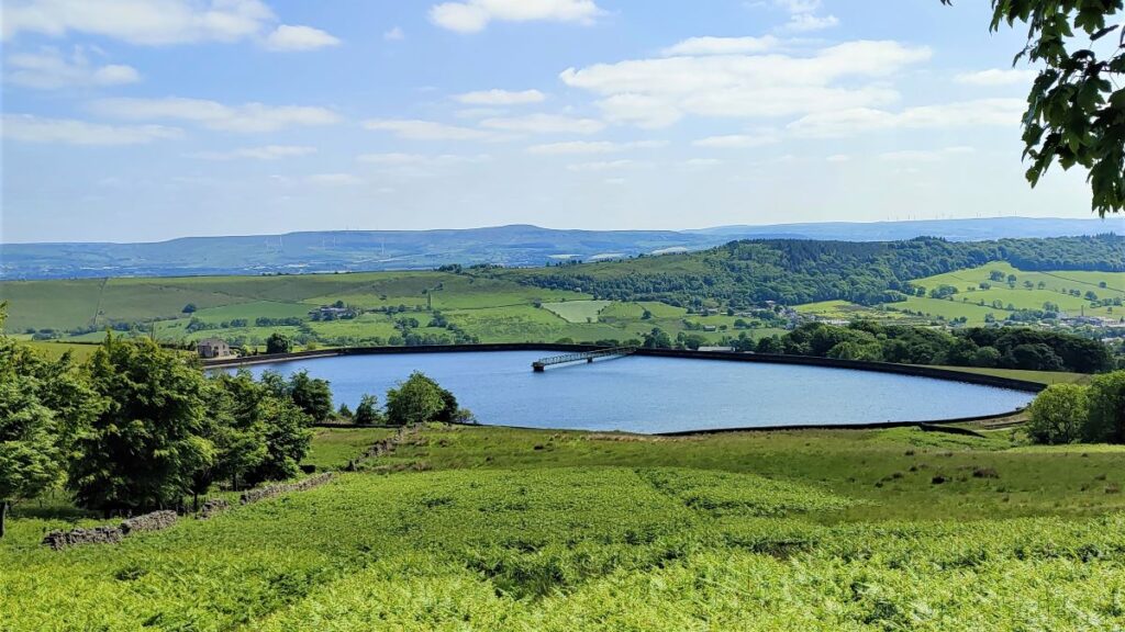
If we were to follow this trail, we would repeat the early stages of the walk – obviously in the opposite direction, and although this is a valid route, it seems better to see something new, so once we come round the small peak of Black Hill, we head left to follow a path South toward Churn Clough reservoir.
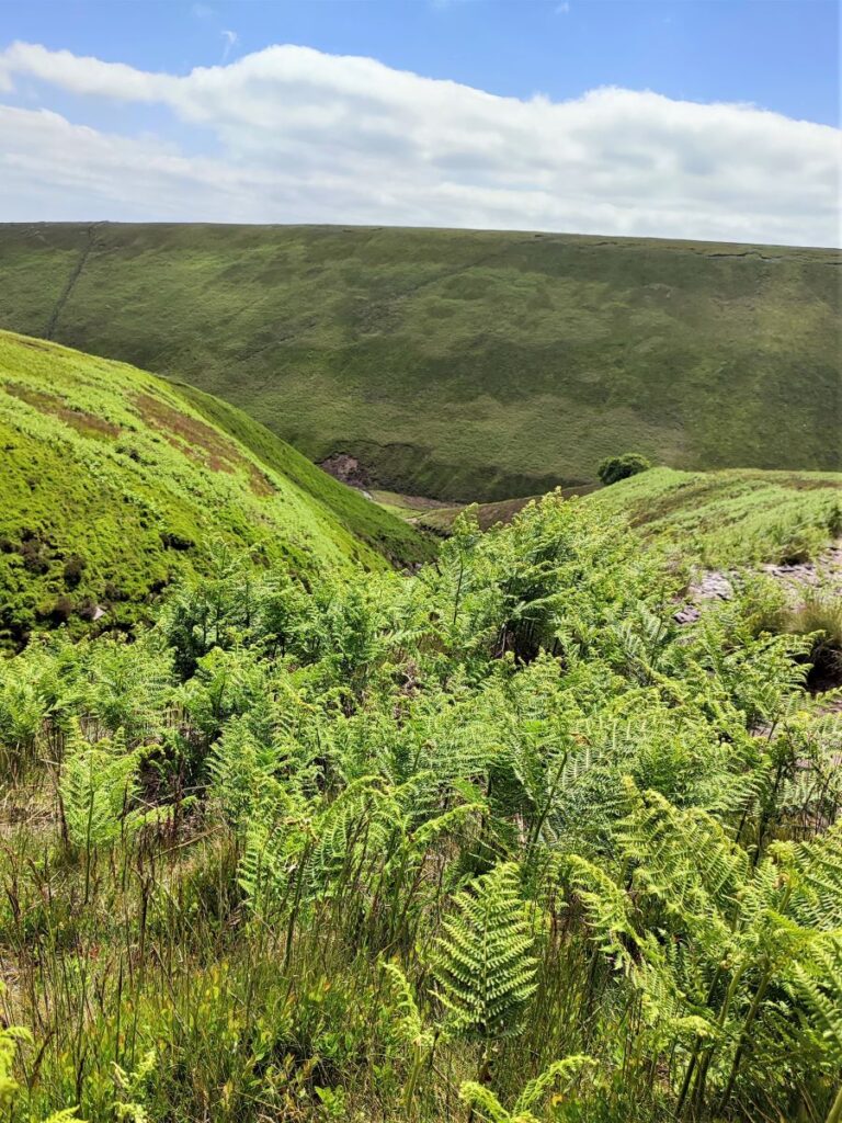
From here, the route remains clear, initially heading through open moor, then through dense bracken, and later still entering woodland where the path heads right, now getting no closer to the reservoir.
After a while we meet a signpost showing two routes – there is a path down to Churn Clough reservoir for those who have the legs left to add a short diversion, whilst the rest of us we carry straight on toward the Nick of Pendle, meeting the Clitheroe road just uphill of where we started. There is a well maintained path to the side of the road making the last part of the walk safe.
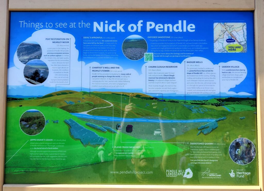
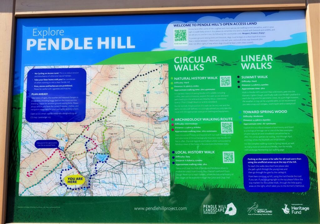
At the point where we meet the road again there are a pair of information boards – these give lots of information about the area and have QR codes linking to other websites with walks and background information. Some of the ones you may find most useful are: