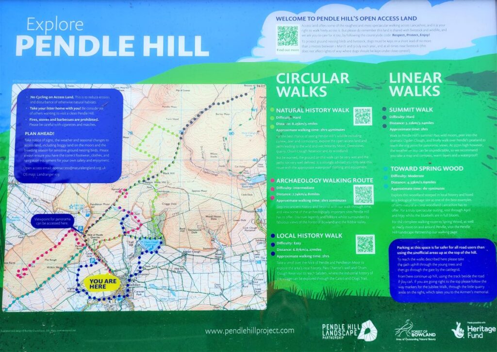
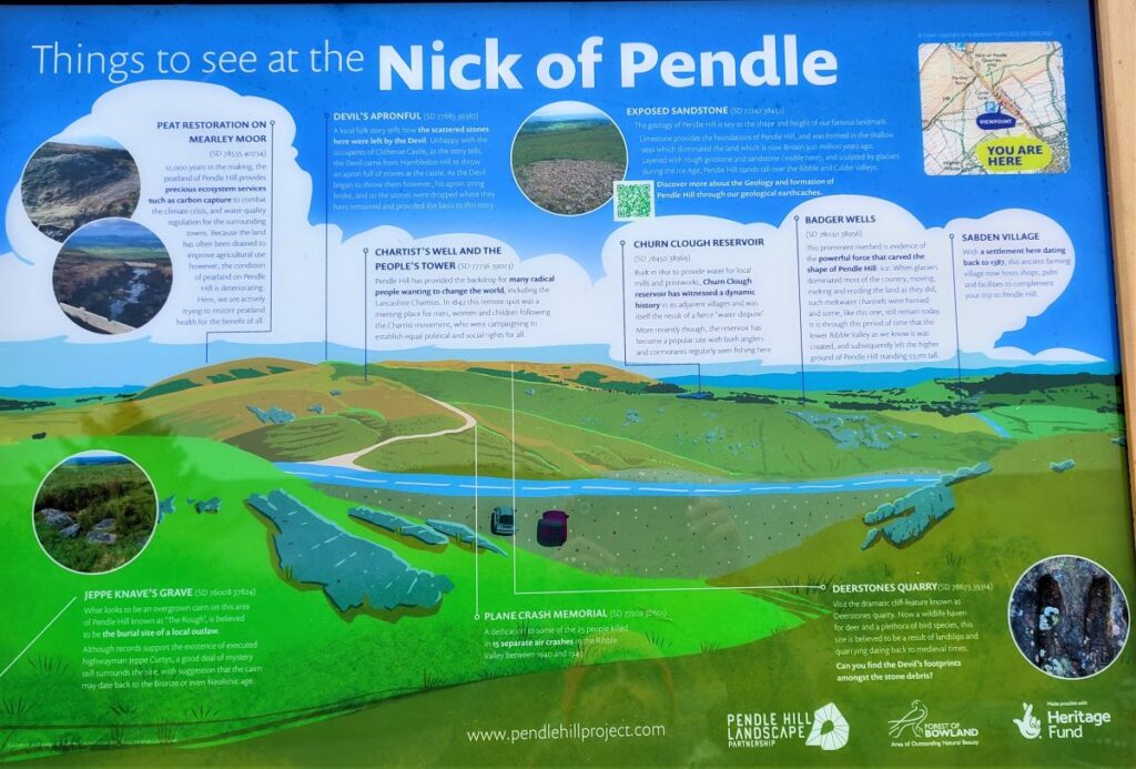
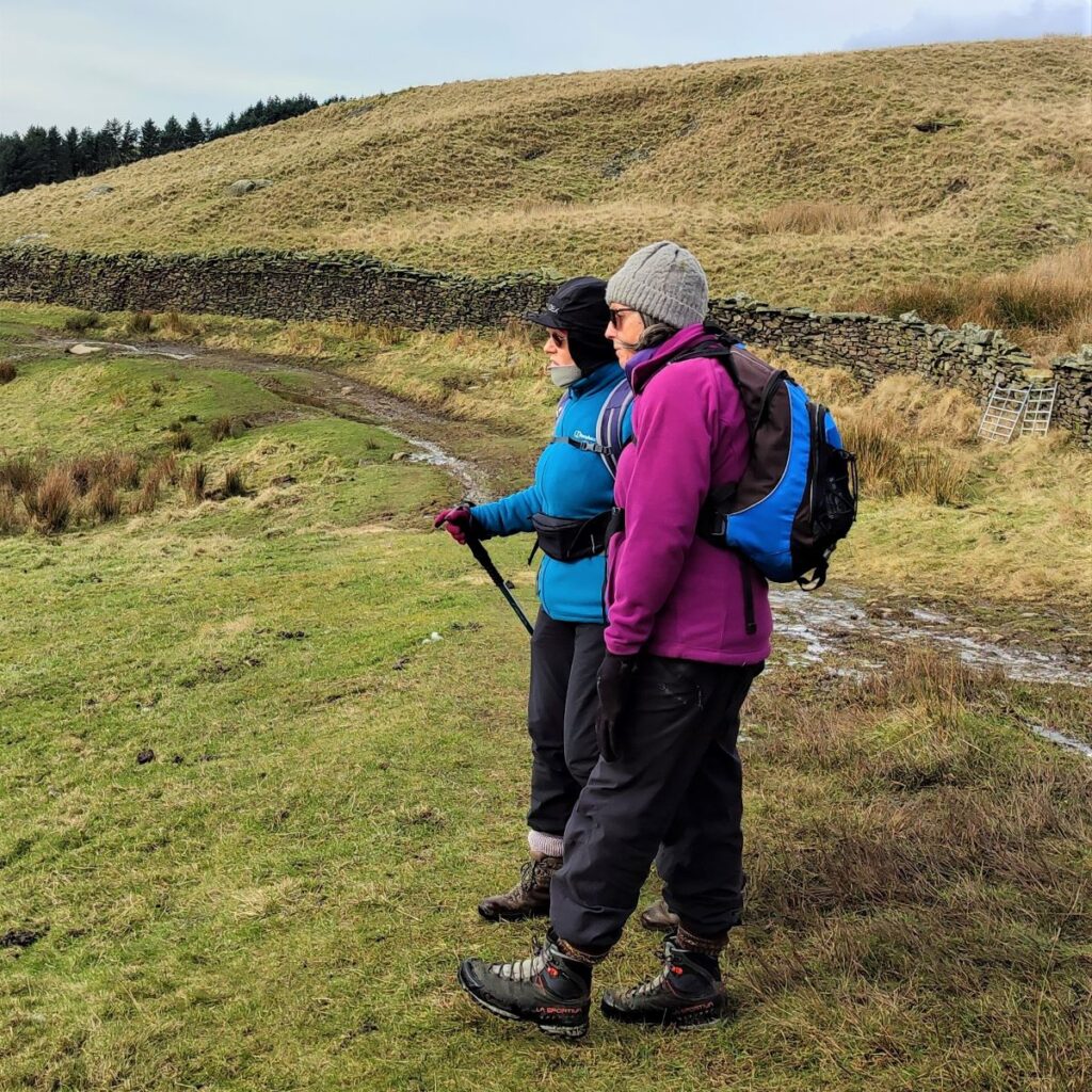
Bentham Footpath Group is lucky enough to have easy access to The Yorkshire Dales, The Lake District, and as for this walk, the Forest of Bowland. This 803km2 Area of Outstanding Natural Beauty (AONB) features a southern section known as the Forest of Pendle, which includes Pendle Hill, and the Sabden Valley. Pendle Hill is a great walk, and one that the Footpath Group have walked before, so this time we explore the Sabden Valley.
We start at the Nick of Pendle, taking a South-westerly route down one side of the valley before crossing the Sabden Brook, and returning to Sabden Village on the opposite side. The second half of the walk takes us out to the East as far as Dean Farm from where we return via Churn Clough Reservoir.
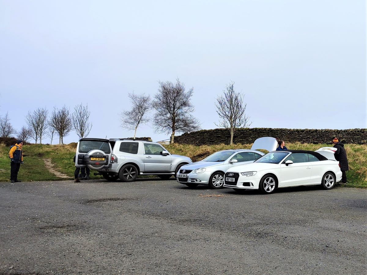
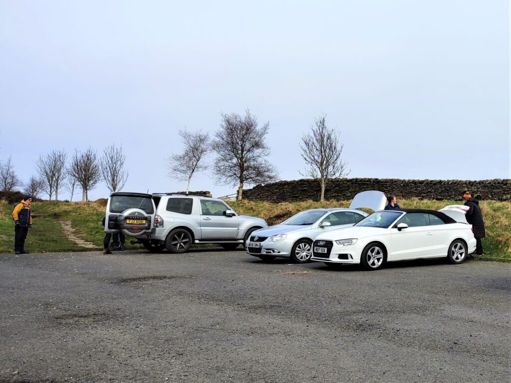
We start from the Nick of Pendle, using the (free) roadside parking on Clitheroe Road. This is the minor road linking Clitheroe to Sabden and is best approached from the A59 at Clitheroe – Sabden is clearly signposted at the roundabout. We follow the road up the valley on the Clitheroe side, past the Dry Ski Slope, and then start to descent toward Sabden. After crossing a cattle grid, the parking is visible on the left. If you are using satnav to get to the start, then the postcode BB7 9HD and the road name should suffice. If you ae using a paper map, the grid reference is SD77523806, whilst What-3-Word tag snares.nasal.waggled pinpoints the parking area.
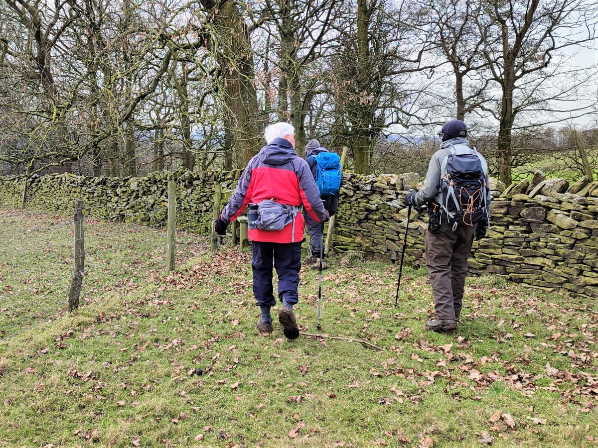
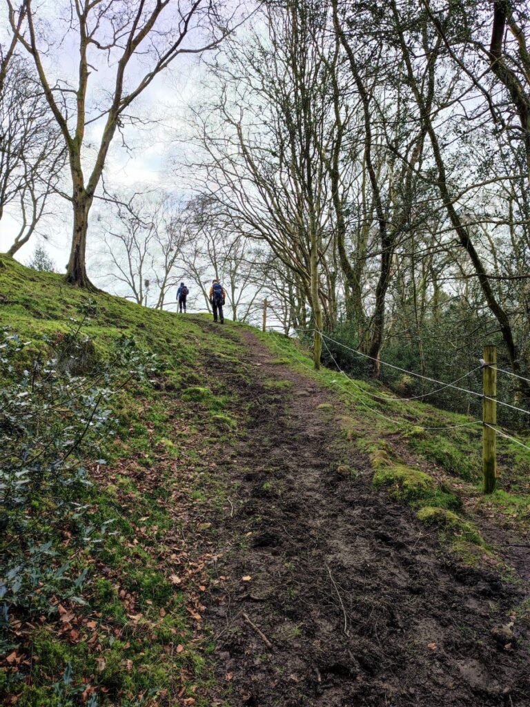
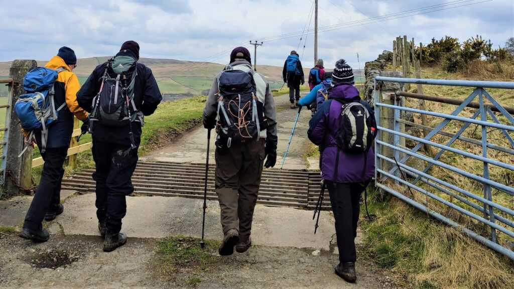
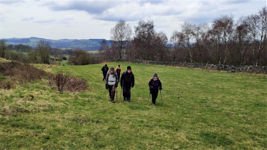
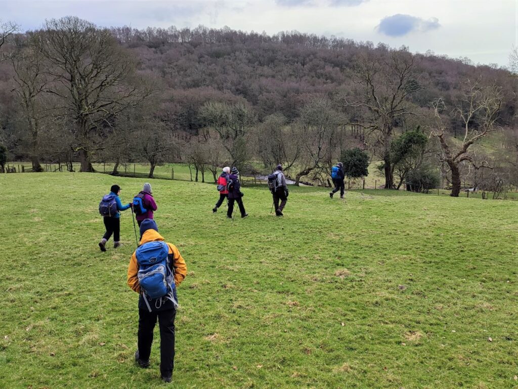
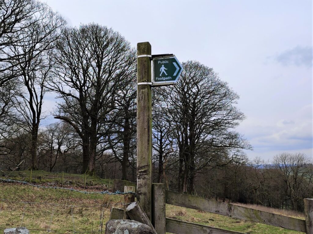
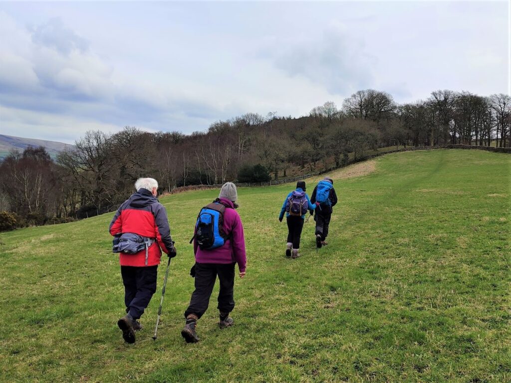
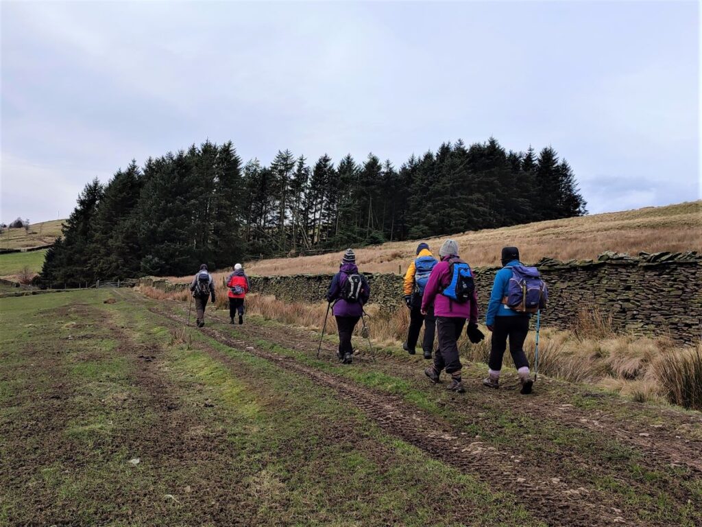
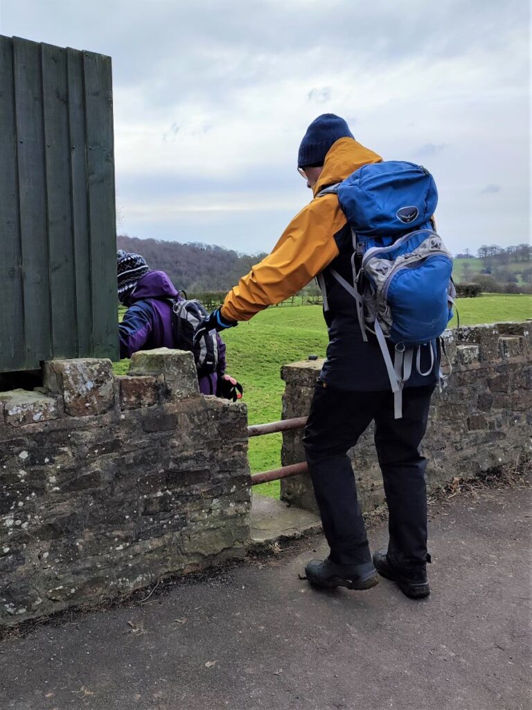
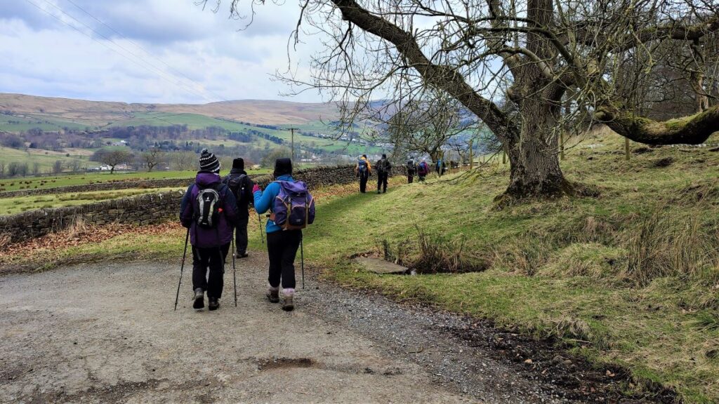
We start by carefully crossing the road and taking a path almost opposite the car park which heads up through some scrubby roadside bushes and then through a gate into fields. We are now heading west along the contours of the North side of the Sabden Valley.
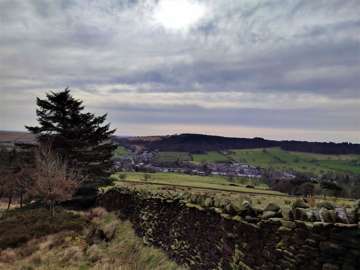
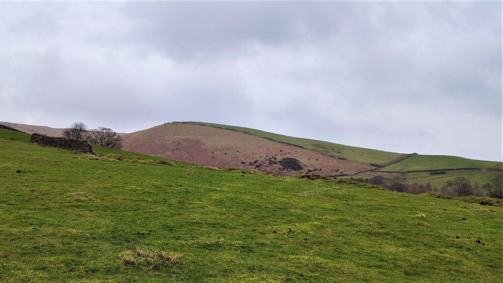
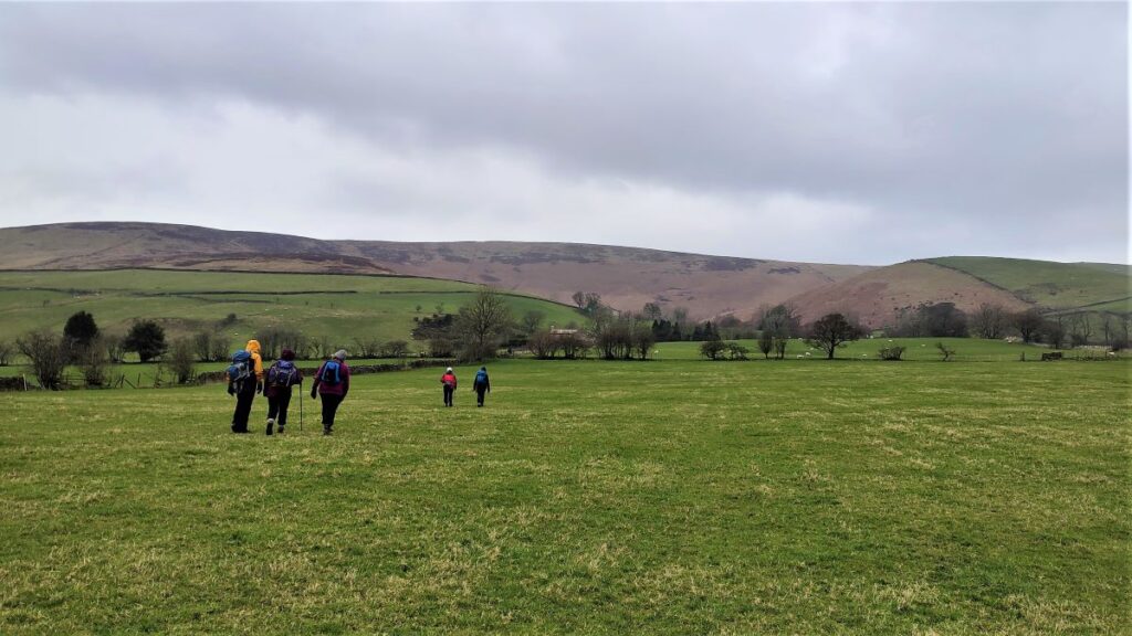
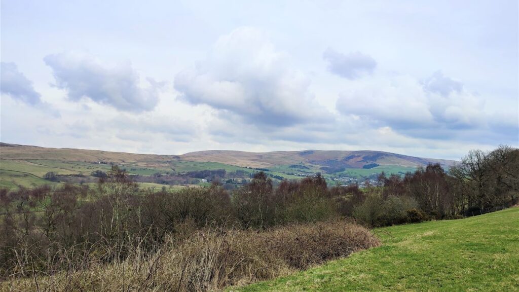
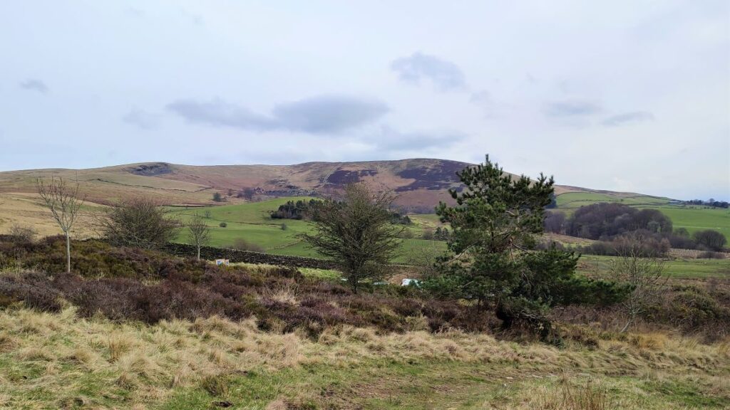
We continue across the field – the path is clear, but the land here is poorly drained so after heavy rain it may be necessary to improvise with the route a little, to find a safe footing. Over to our left we have good views of Sabden and White Hill on the opposite side of the valley. Directly ahead we have Whalley, and beyond that Blackburn.
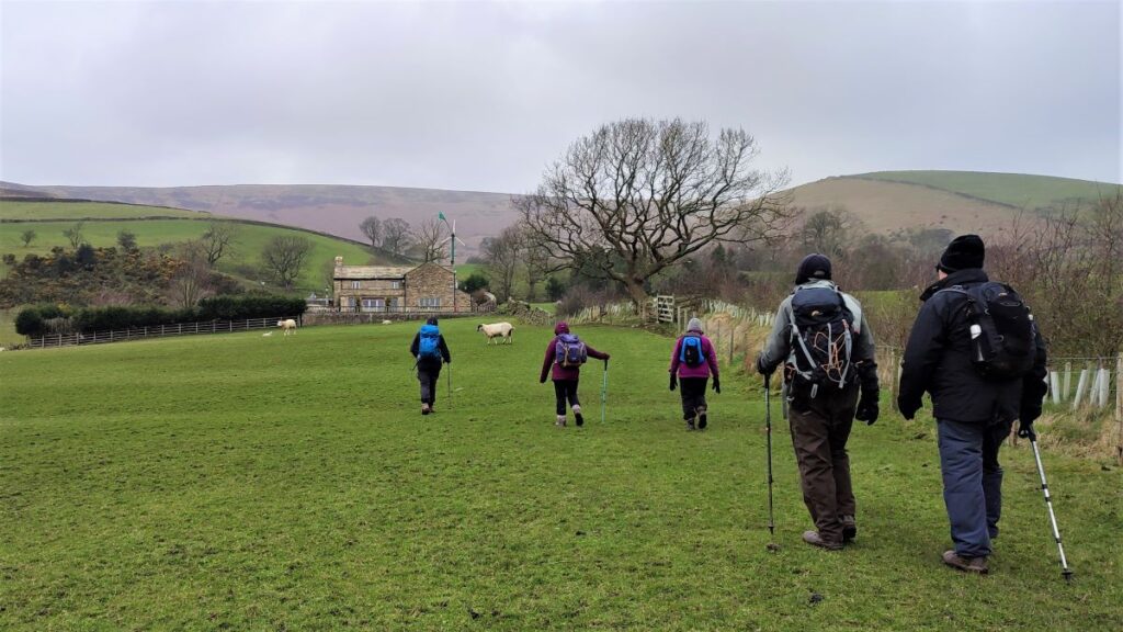
Nearer to us though, and more or less directly ahead, we see an isolated white building; this is the farm at Wilkin Heys, and that’s where we need to head, so if the path through the fields is unclear, simply head toward the white farmhouse.
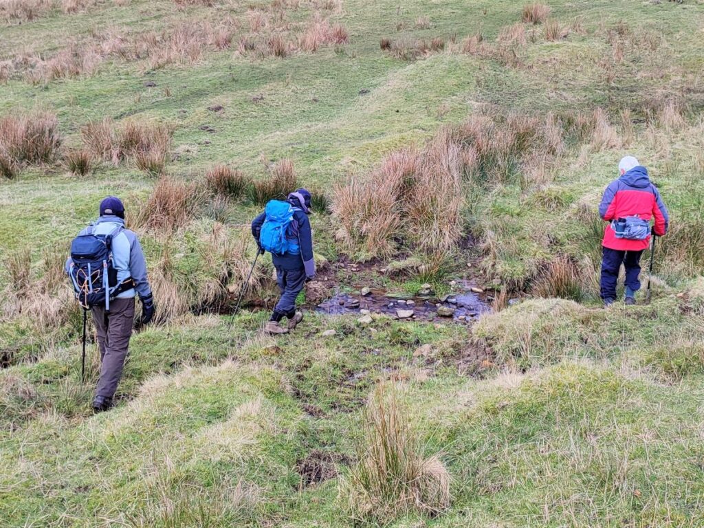
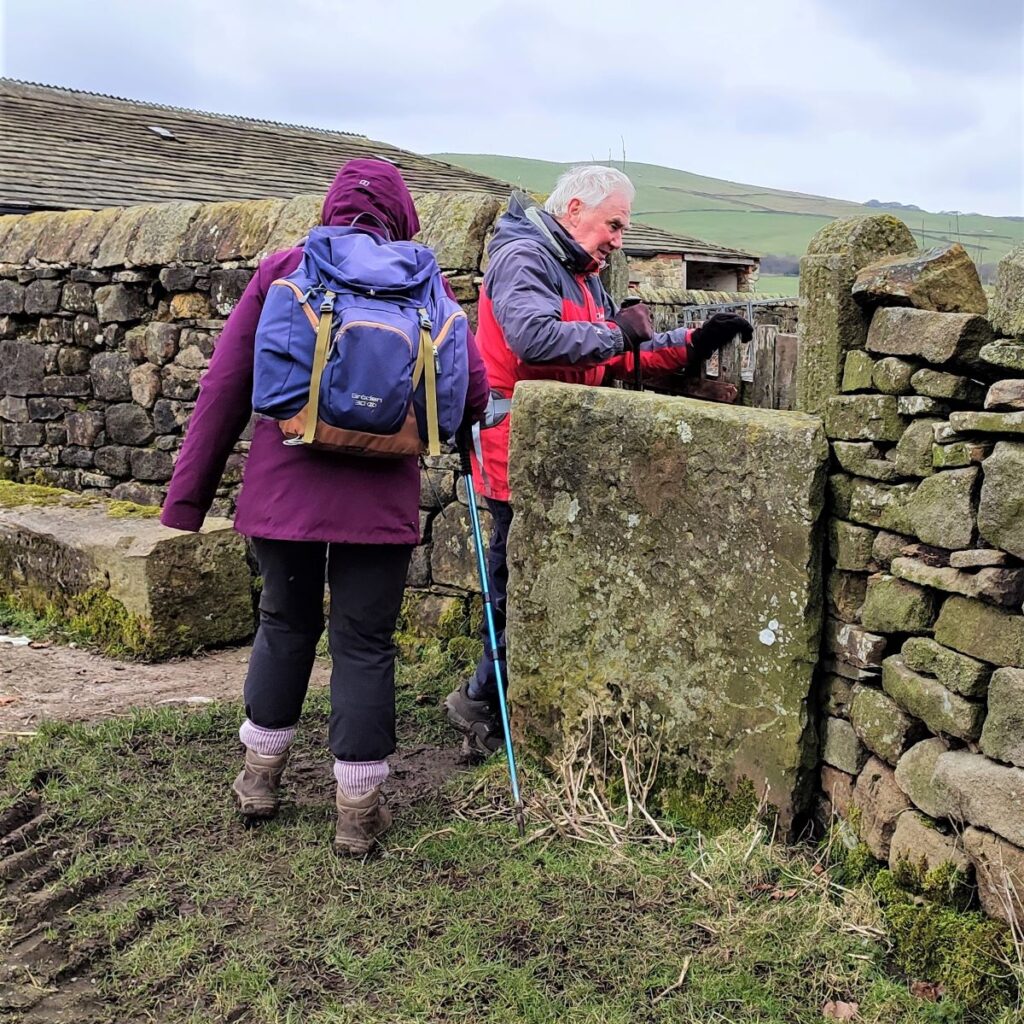
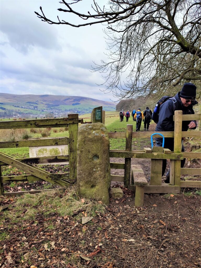
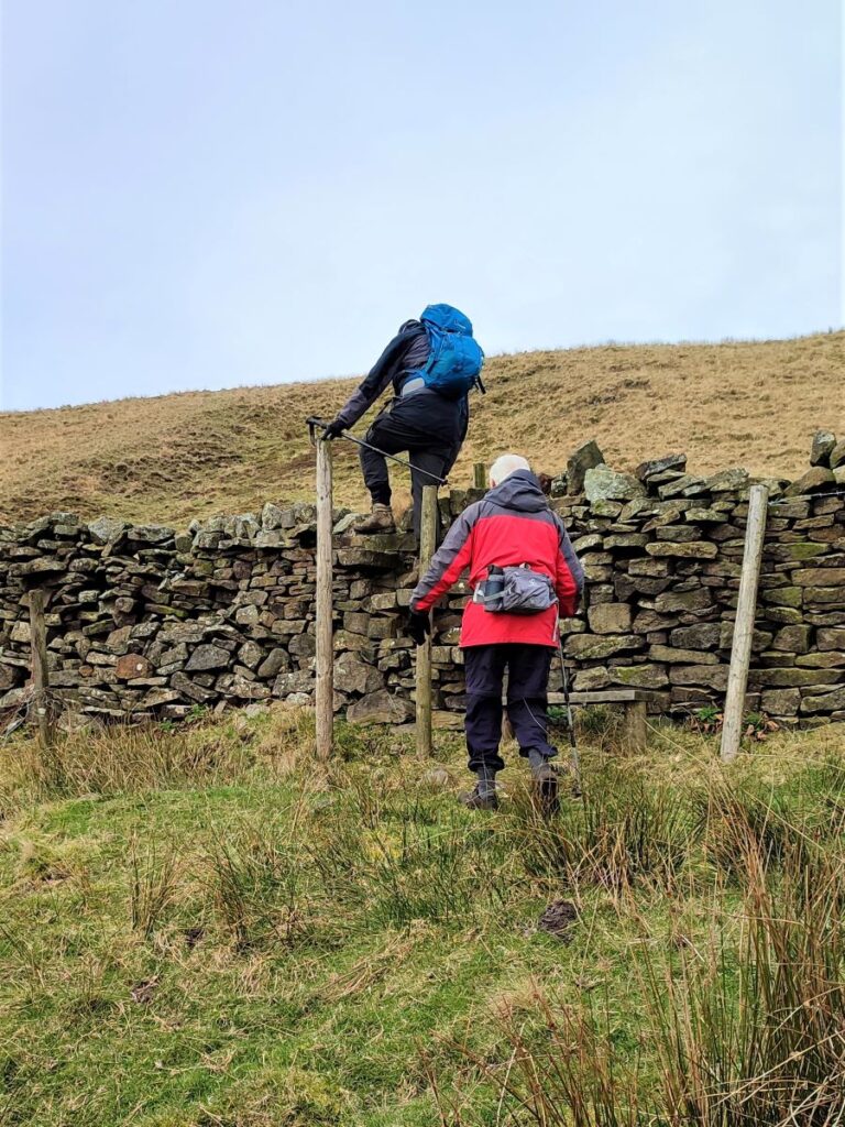
As the farmhouse gets closer, we dip down into a small and easily forded gully before climbing again to find a stile in the drystone wall just before the farm.
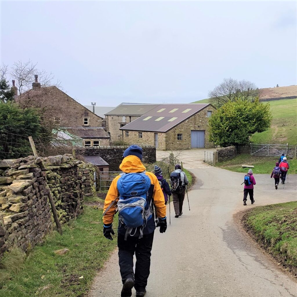
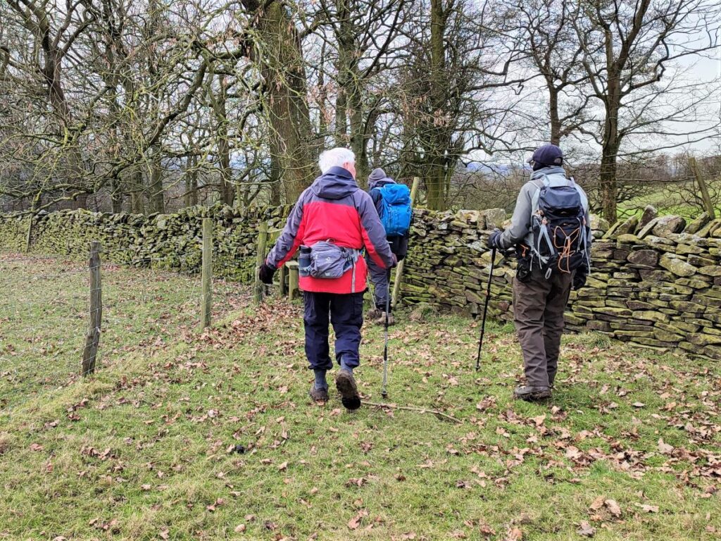
We cross the stile and then climb the short but steep bank to arrive at a track where we turn left, to walk past the farm with the buildings on our left. We stay on this track for a while now, and because the track follows the contour lines, the walking is easy as we head first toward a stand of pine trees on the right, and then a radio mast referred to on the OS map as Wiswell Wireless Station.
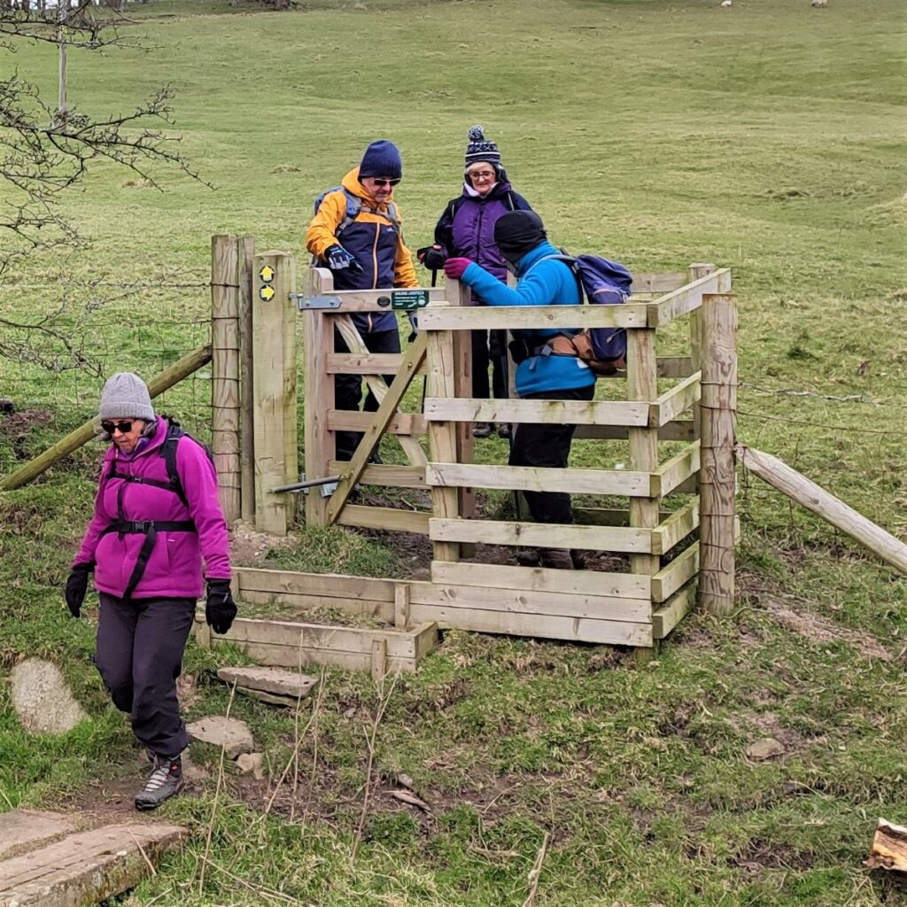
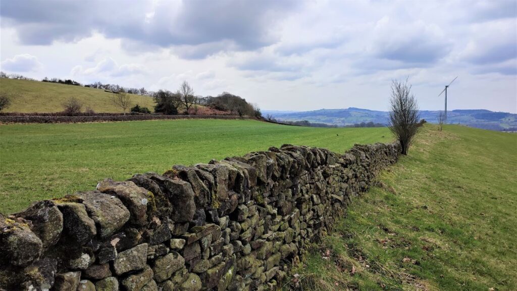
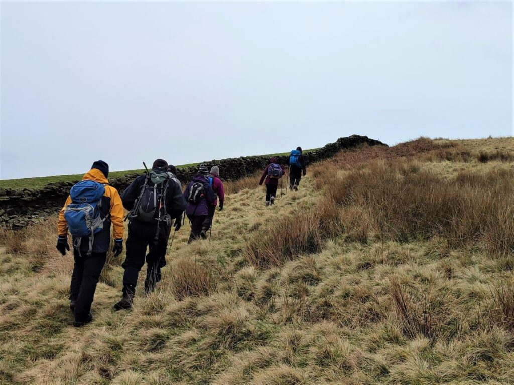
As we get to this point, we notice a number of paths come together; We need to take a sharp left turn here and follow the drystone wall gently downhill, keeping the wall on our right, crossing a stile in a fence adjacent to the wall as we go.
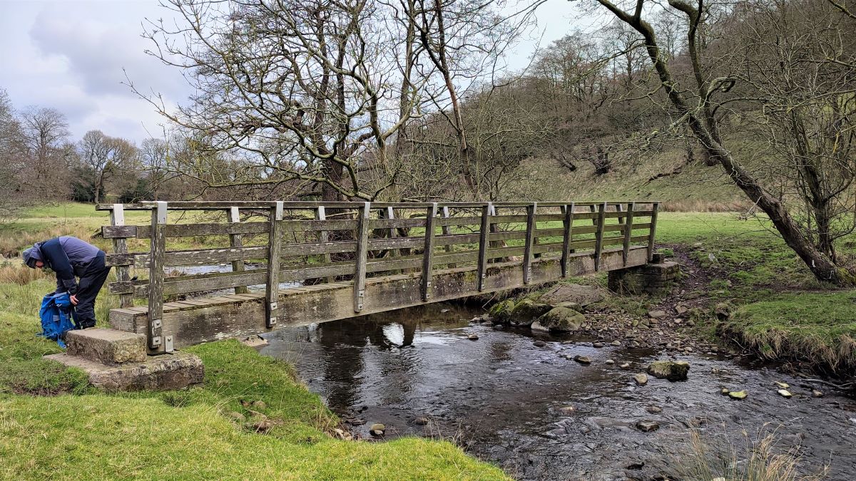
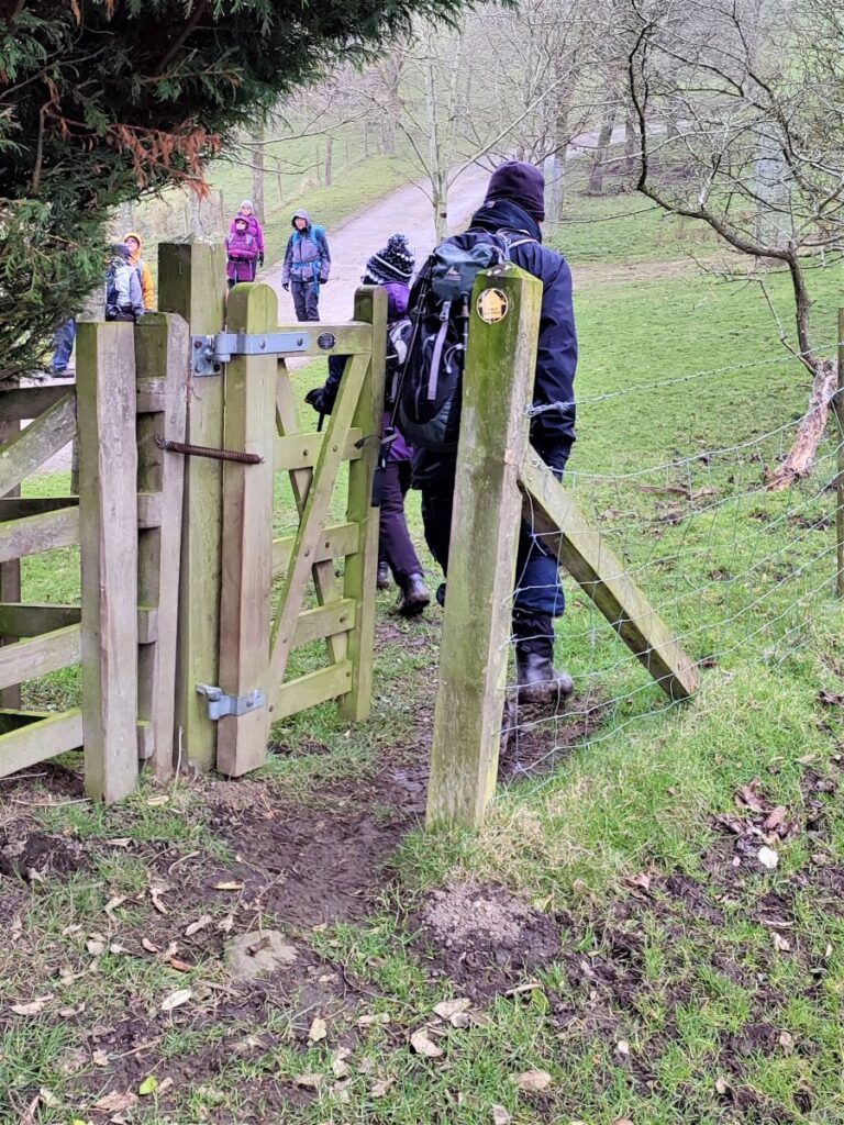
We follow the path down the side of the valley for a while, and as we go, the ground gets steeper. The path takes us down to a new kissing gate and then over a footbridge – take care not to slip on the wood when wet.
We need to look for another solitary white house as our next landmark – this one is in the bottom of the valley on the road from Whalley into Sabden.
There is a stile in the drystone wall opposite the house and we cross this, and then the road, to take a right turn on the pavement opposite. Take care when using this stile, as the steps bring you directly onto the road.
Just beyond the end of the garden wall of the house we notice a stile, which takes us down into a field where the path continues on to the Sabden Brook at the bottom of the valley, via a stile that is well hidden under trees in the corner of the field.
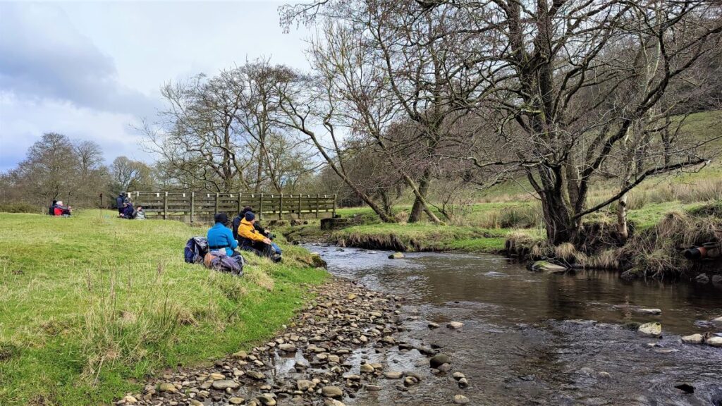
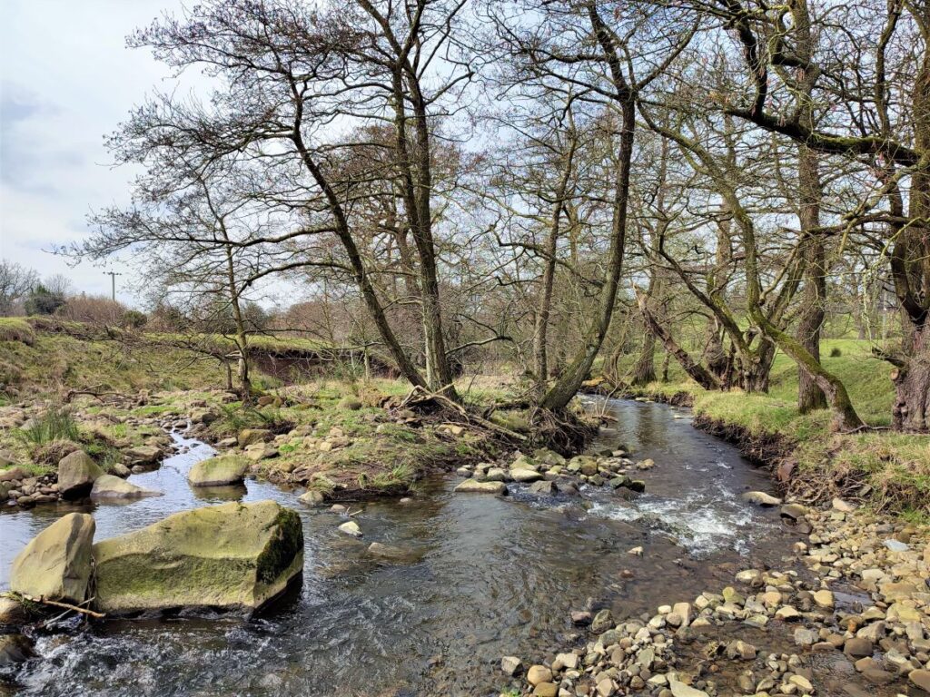
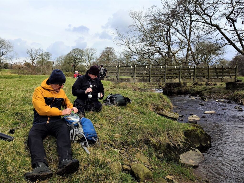
Once we arrive at the Brook, we find a wooden footbridge crossing the water, with a pleasant flat meadow just downstream of the bridge. Given that we are now at the low point of the walk and may therefore need to steel ourselves for the pending climb, this is a good place to stop for refreshment.
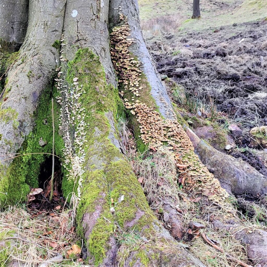
Sabden Brook rises just to the west of Newchurch in Pendle, and nearly 8 miles later merges with the River Calder at Cock Bridge. The use of “brook” in the name is a little unusual for the North of England, where “beck” is more common. The Sabden part is self-explanatory – it’s the river that flows through Sabden – which in turn derives it’s name from Old English words sæppe denu, meaning valley of the spruce trees.
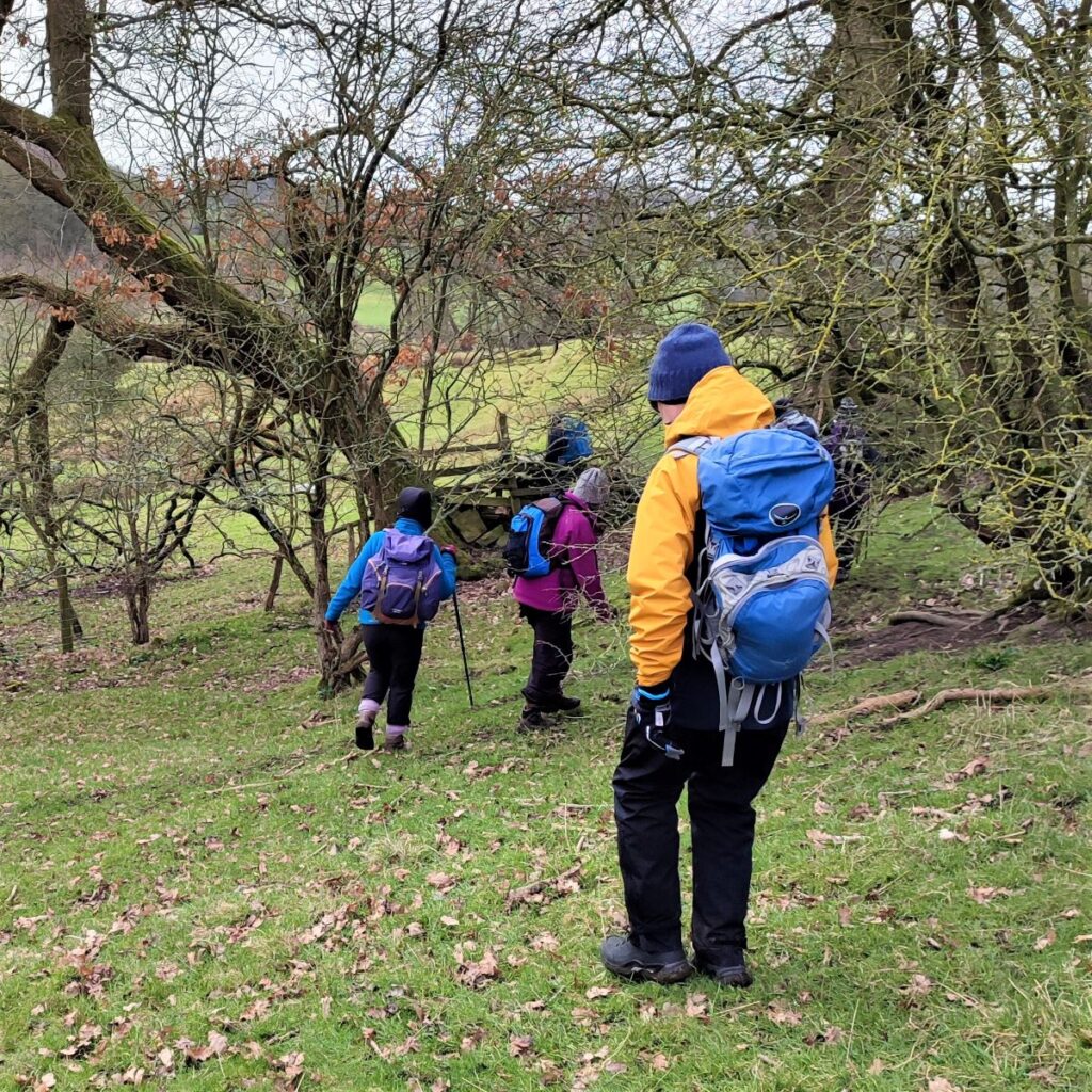
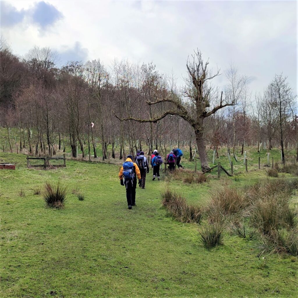
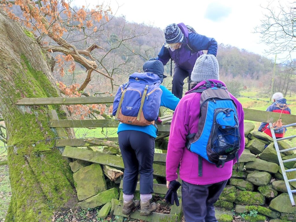
Fully refreshed, we cross the bridge and follow the path round to the right, via a field of recently planted trees: This is part of Hodgean Stone Plantation. Beyond the saplings, we enter a more established woodland area, and the path rises quiet steeply to a ladder stile.
The path continues uphill and to the right beyond the stile and we press on up a quite a steep hill until the woodland thins and we find ourselves approaching an equestrian centre.
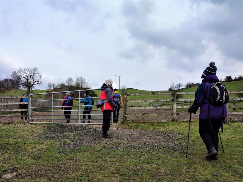
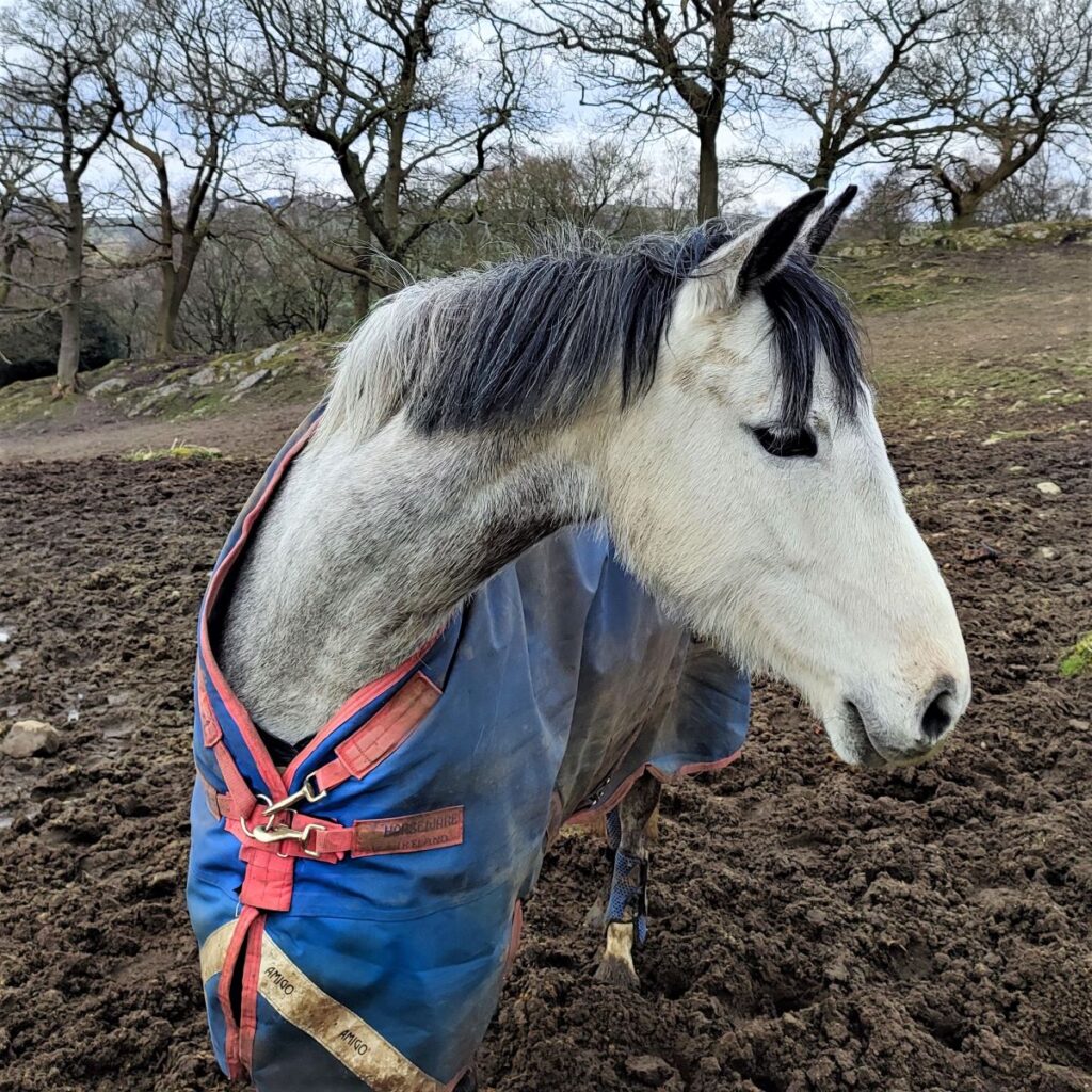
The path goes round the rear of the centre and as we approach the yard we see a paddock on our left with a way marker roundel indicating that the path goes through the gate into an area used for exercising horses before exiting via a stile at the back of the paddock. There were no horses present here when we walked through, but clearly if there are, care and consideration will be needed.
The path continues uphill past an enclosure where horses were present – all were friendly and curious.
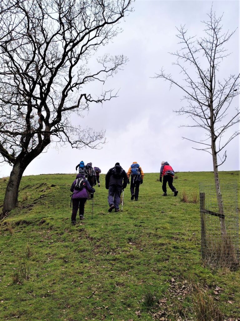
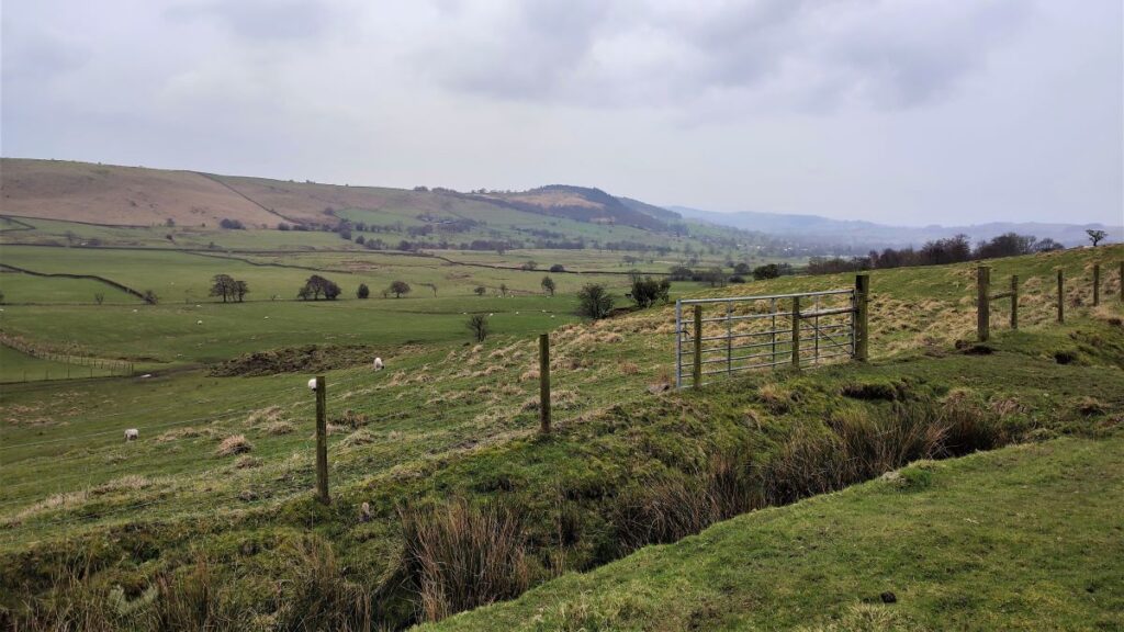
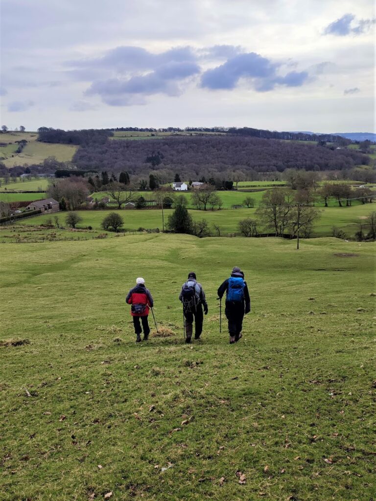
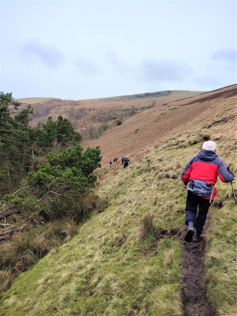
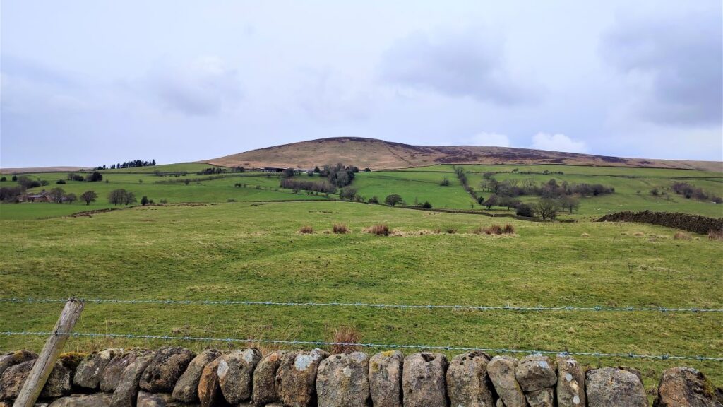
We now head uphill with a wooded area to our left, using the solitary wind turbine on the hill ahead of us as a landmark. We walk to the left of the turbine and then continue toward the far right hand corner of the field, enjoying good views over to the other side of the valley where we were walking earlier in the morning.
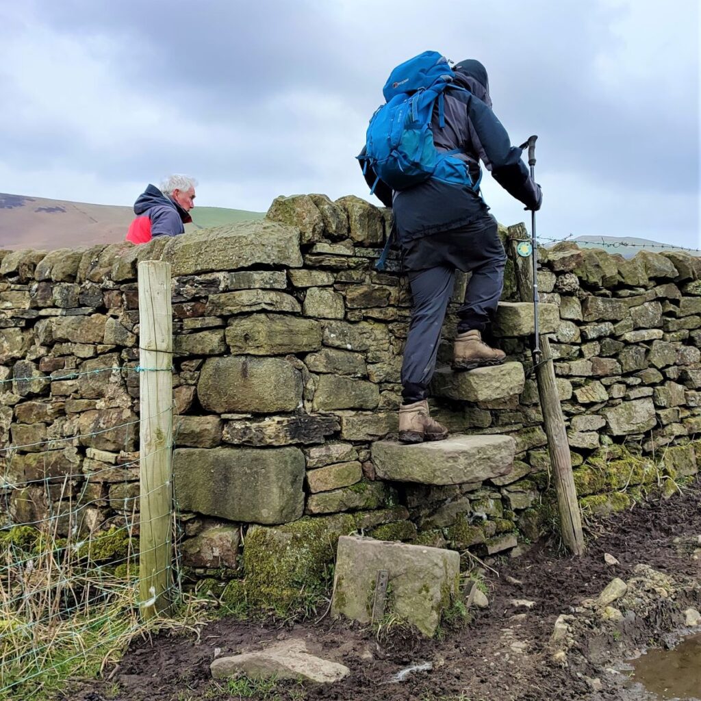
As we approach the corner of the field, we see a stone step stile which takes the path over the wall and along the edge of the upper section of Hodgean Sone Planation, before we arrive at a somewhat rickety wooden stile onto a minor road – take care here.
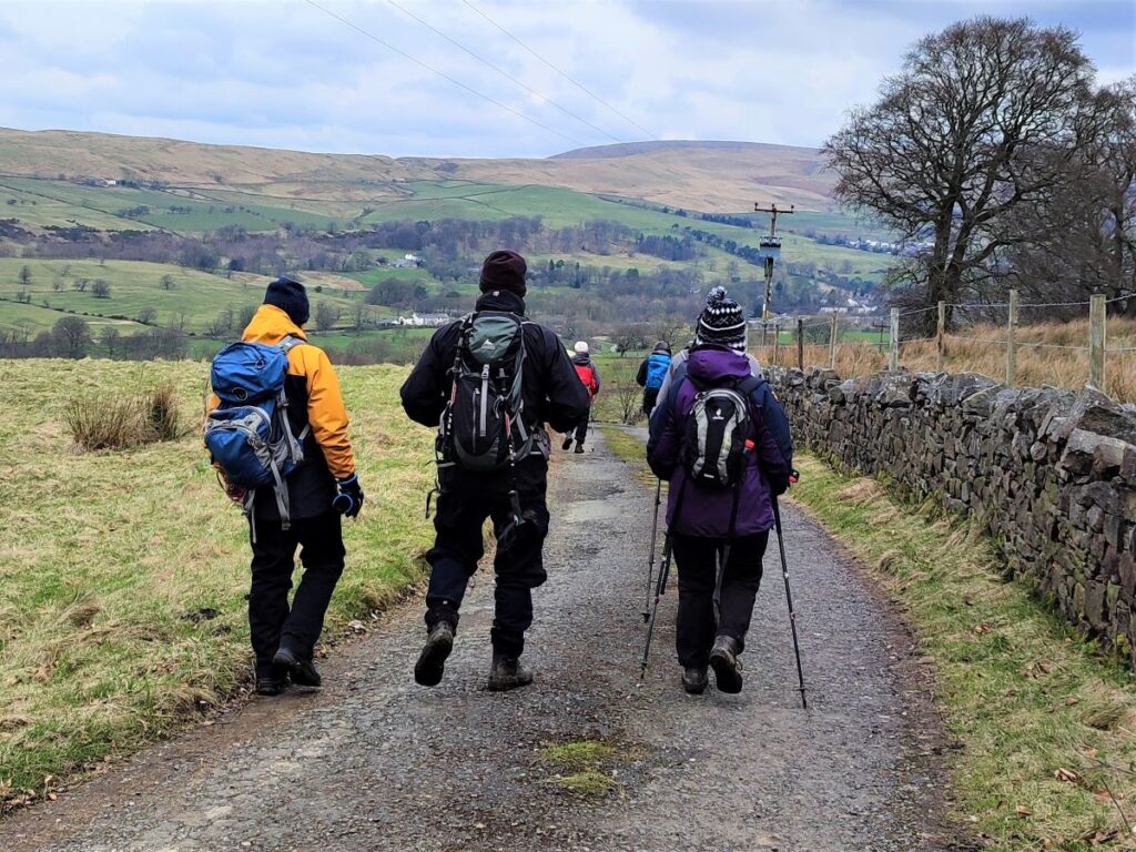
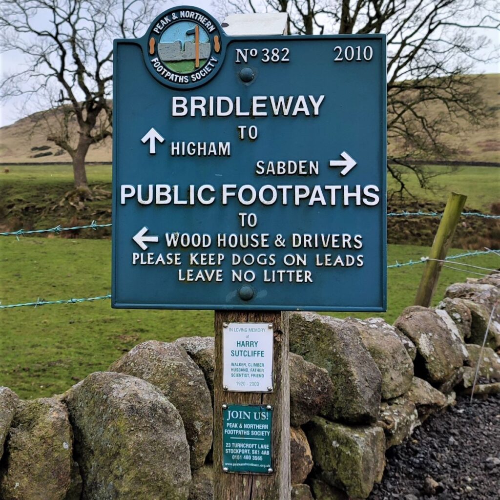
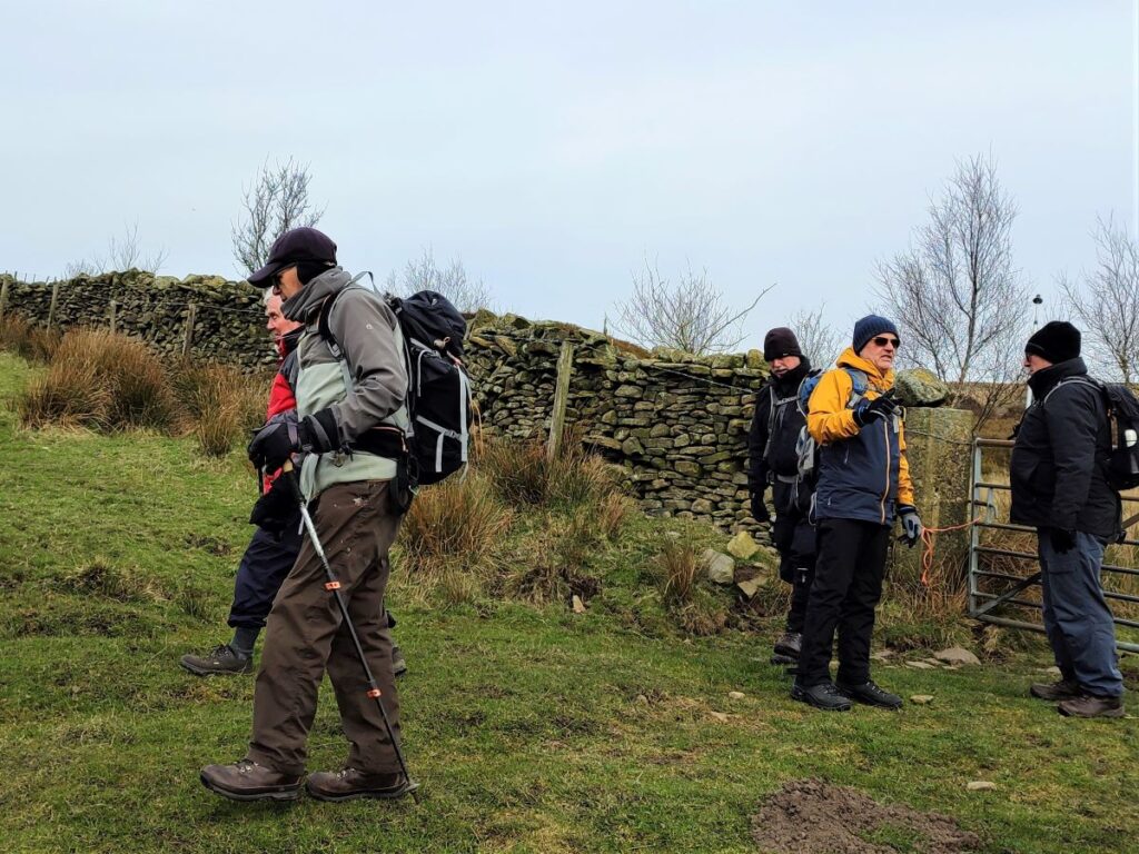
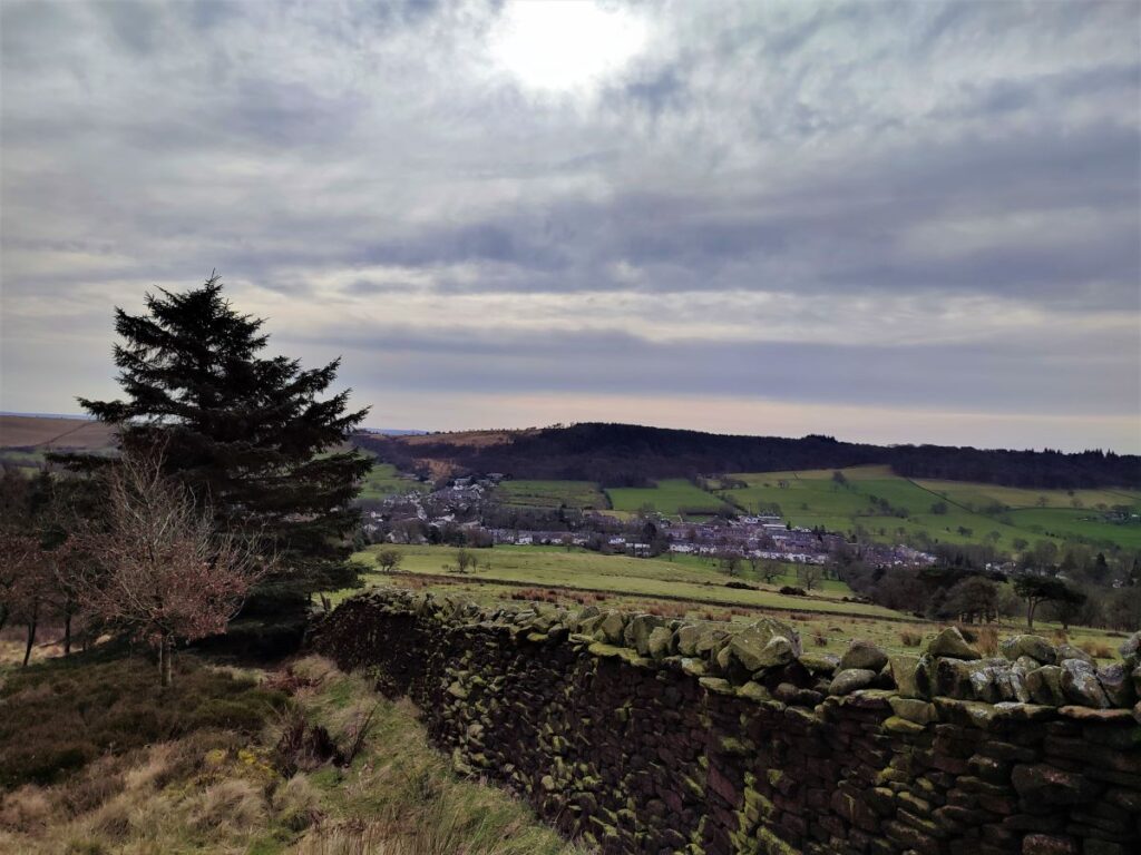
We go left along the road for a while, keeping an eye open for a footpath sign on the left which directs us down a farm track, and over a cattle grid with Sabden clearly visible ahead in the bottom of the valley.
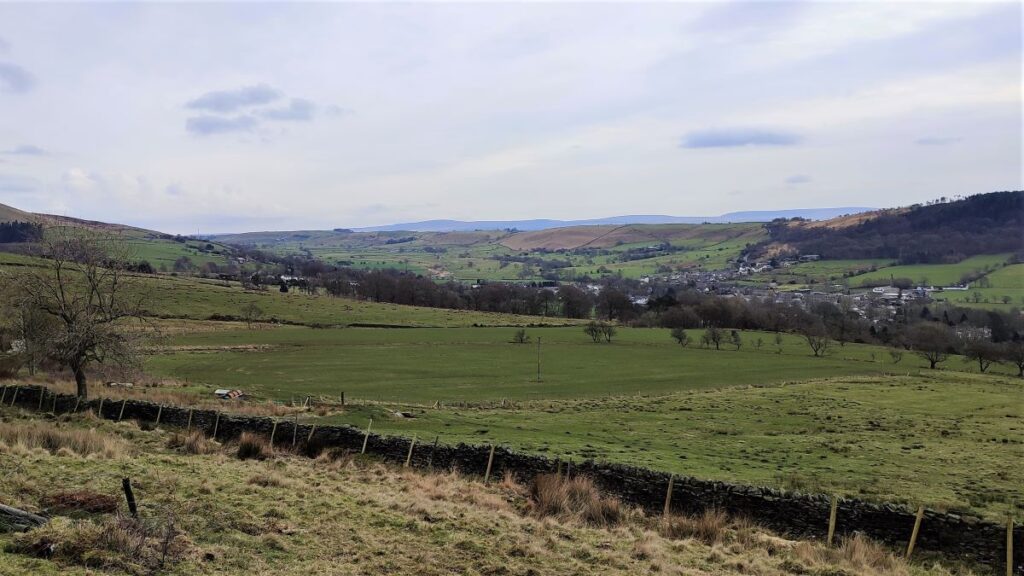
We now head downhill, initially following the well surfaced farm access road, but as this turns sharply to the left to approach the houses we continue straight on, directly toward Sabden on a greasy path.
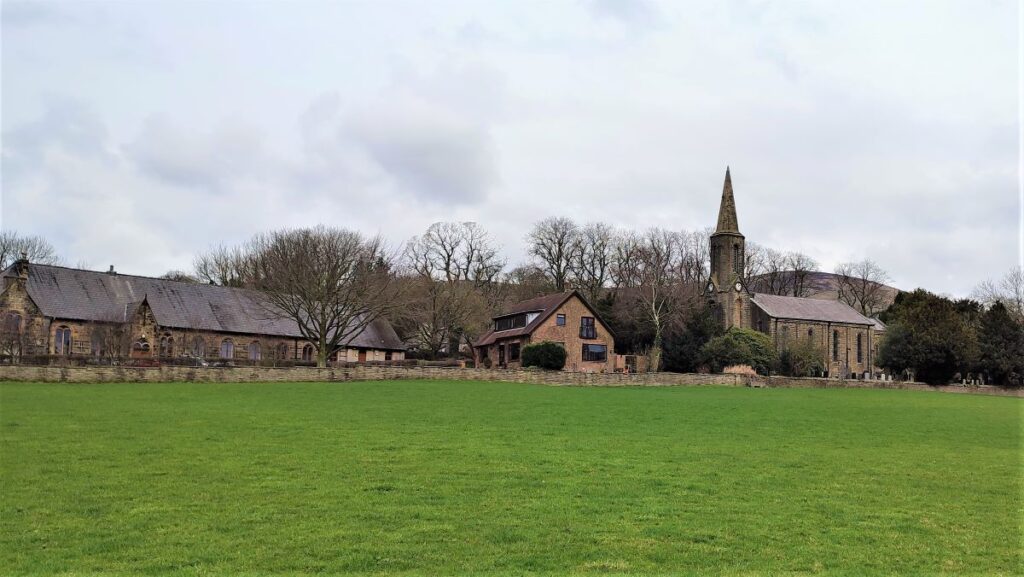
The path crosses a wooden stile and then hugs the bottom of the wooded area for a while before peeling off to the left. We can now see more detail of Sabden, including the prominent mill chimney which we walk directly toward.
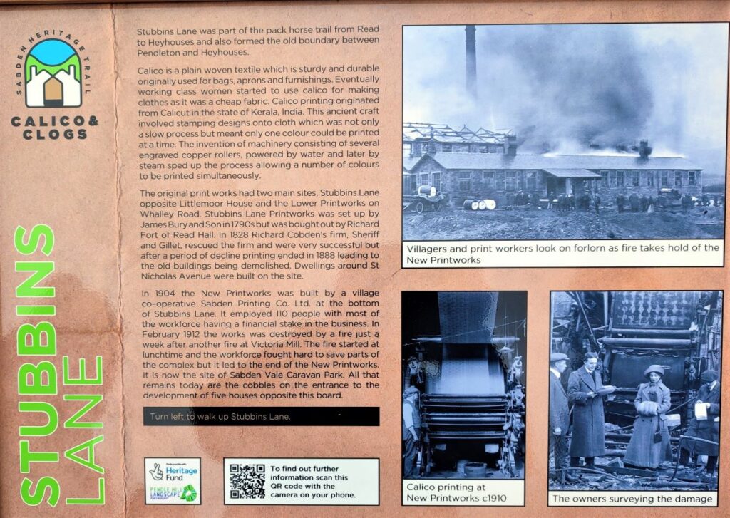
Union Mill was once a thriving cotton mill, and the largest of several in Sabden. Built in 1857, it has now been repurposed as a business centre. The Union Mill forms part of a heritage trail around the town associated with the old industries. The trail was not part of our walk, but for those who are interested, the parish council have produced some excellent materials which you can access via the Parish Council Website
Click hereto download a the Calico and Clogs Trails leaflet
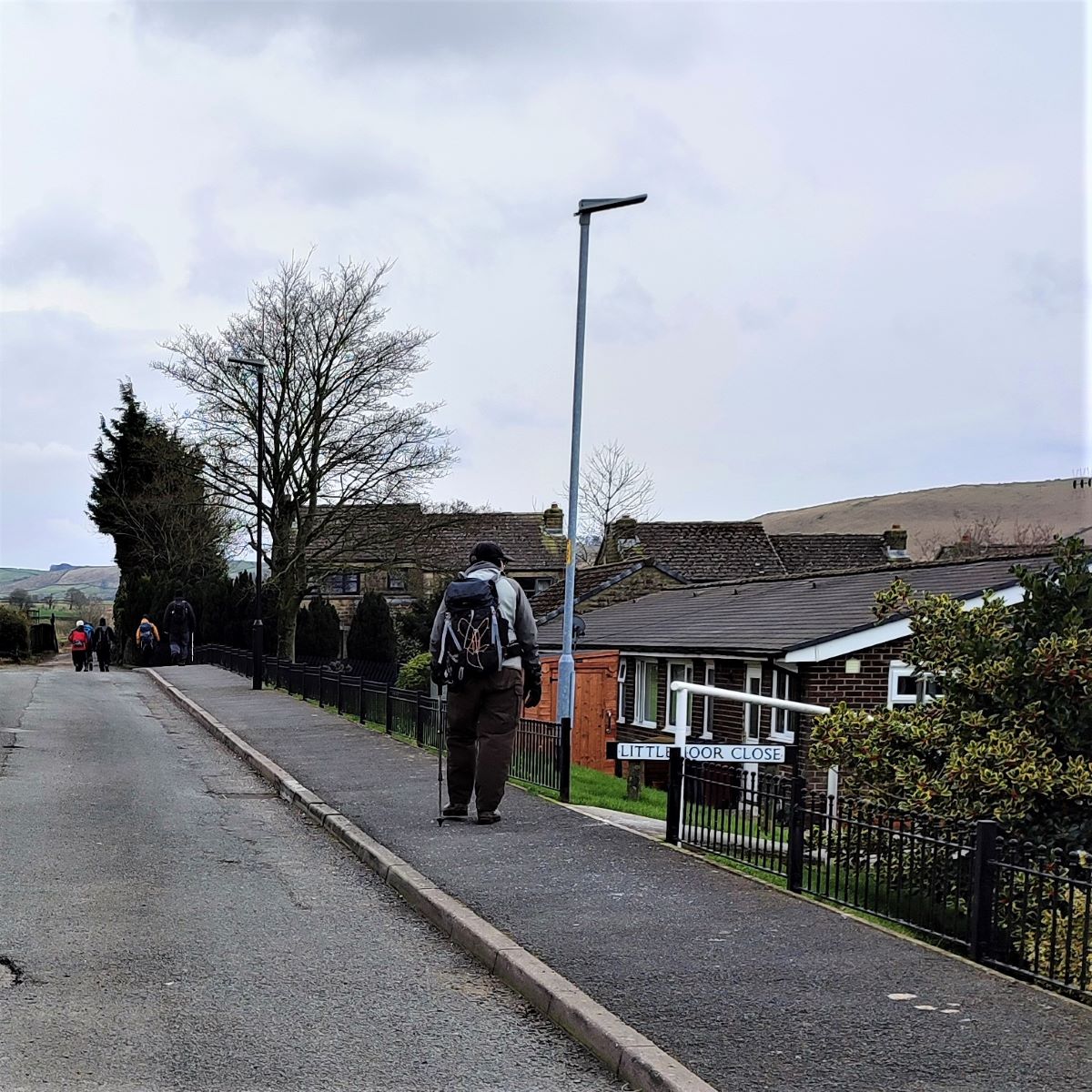
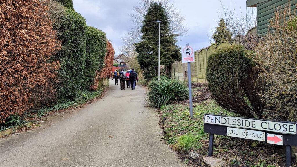
As we reach the outskirts of the village, we find ourselves on a well surfaced track that heads sharply to the left and down to the Mill. Feel free to explore a little, but come back to this point, as our path continues straight on around the outer edge of the village and past the football club.
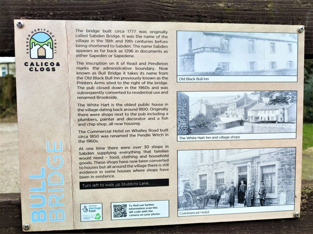
We now enter a housing estate and need to look for Pendleside Close on the right – the path continues down here until we arrive at Bull Bridge in the old centre of the village.
The name Bull Bridge is fairly recent – when the stone bridge was built in 1772, it was known as Sabden Bridge – as indeed was the whole village in much the same style as Hebden Bridge. The name Bull Bridge was taken from the adjacent Old Black Bull Pub, which closed in the 1960s to be redeveloped as housing.
We cross the bridge and take Stubbins Lane – almost opposite, passing a couple of informative interpretation boards as we head slightly uphill toward the prominent church of St Nicholas – a grade II listed building from 1846.
Before we get to the church though, we see a road on the right with housing to the right and the open field in front of the church on the left – we head down here, leaving the village behind and heading back into open farmland.
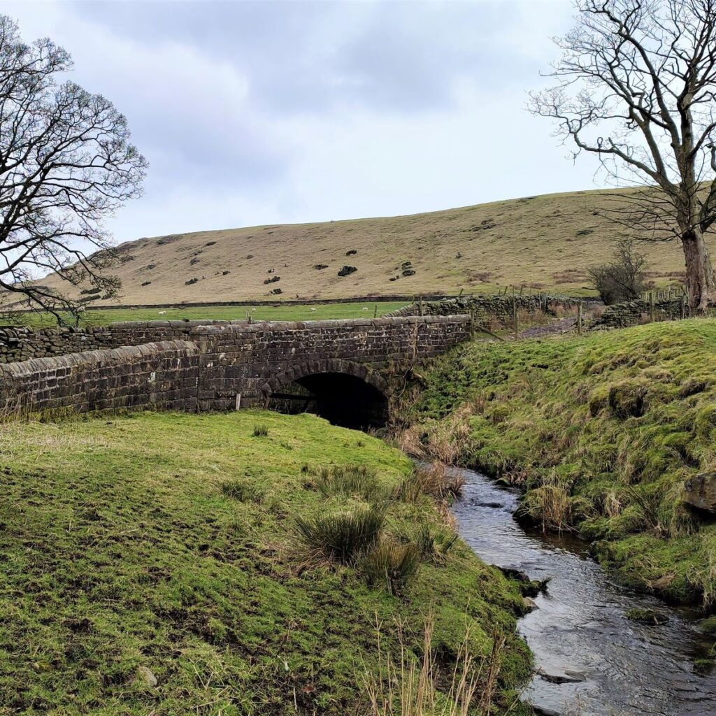
A path crosses ours – we ignore this and continue on the clear farm track heading east for a while now – until we meet a stone bridge over the Sabden Brook – noticeably smaller this far upstream.
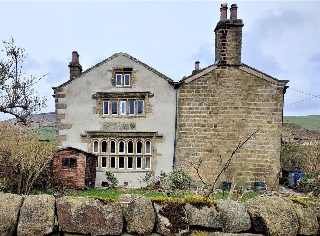
The bridge is on the right, with an ancient farmhouse on the left. The house carries inscription stones which are difficult to read, but apparently say “This house was builded by Hugh Moore, son of Christover Moore auldest brother son, and Letis Hugh wife in the yeare of oure Lord God 1574”.
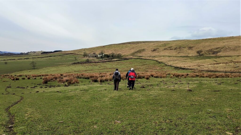
The track continues to the left round the farmhouse, where we find a gate and then a stone step style, taking us into a flat field with the imposing bulk of Pendle Moor ahead. We head for the top left hand corner of the field and then after crossing a stile keep to the edge of the field as we approach a house with a prominent wind turbine.
A stile takes us around the right hand edge of the house to a gate where we pick up the access road to the house.
We take a path off on the left of the access road which takes us up a steep bank and then across fields before we again meet the well surfaced access road – which we follow to the left.
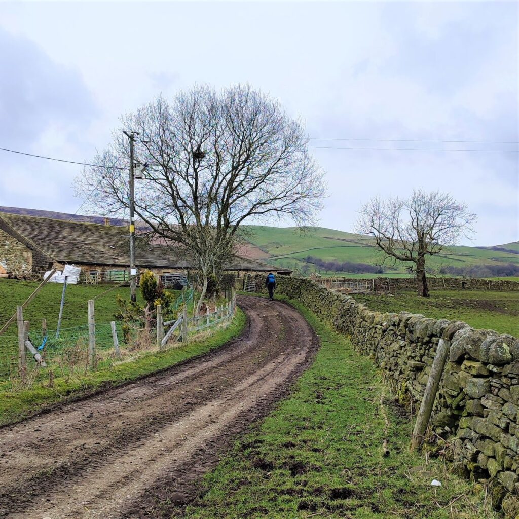
Once we are on the farm road, we follow as far as the next farm – at Ratten Clough, where we see the path continues through a metal gate and up onto the moor again.
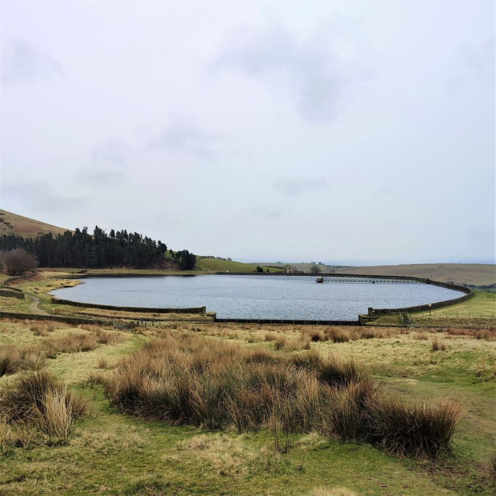
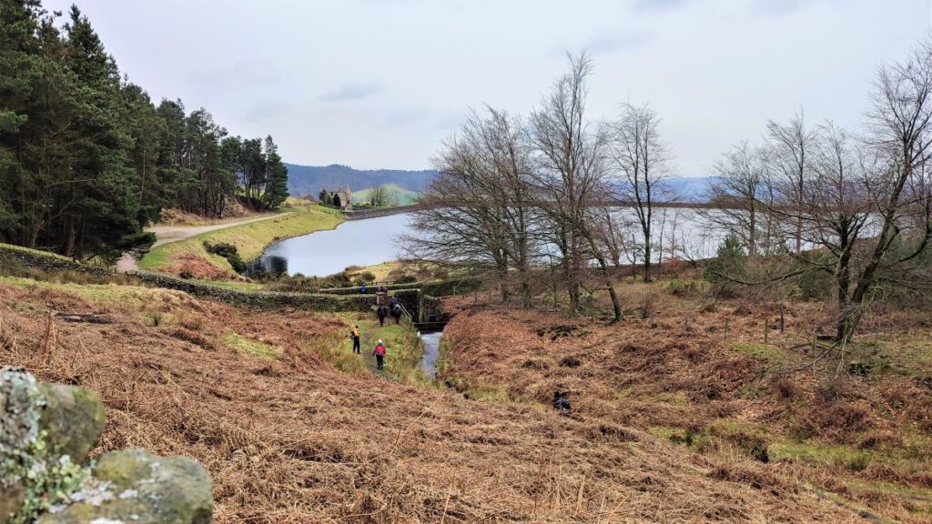
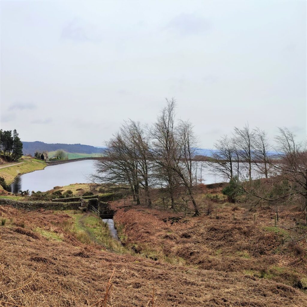
We now head toward a patch of woodland that we see ahead, and just as we get there, we start to see the waters of Churn Clough Reservoir.
The path heads right and along a narrow path on a steep slope here. The route can be quite slippery so take care.
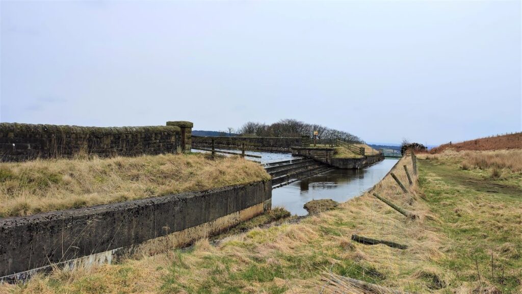
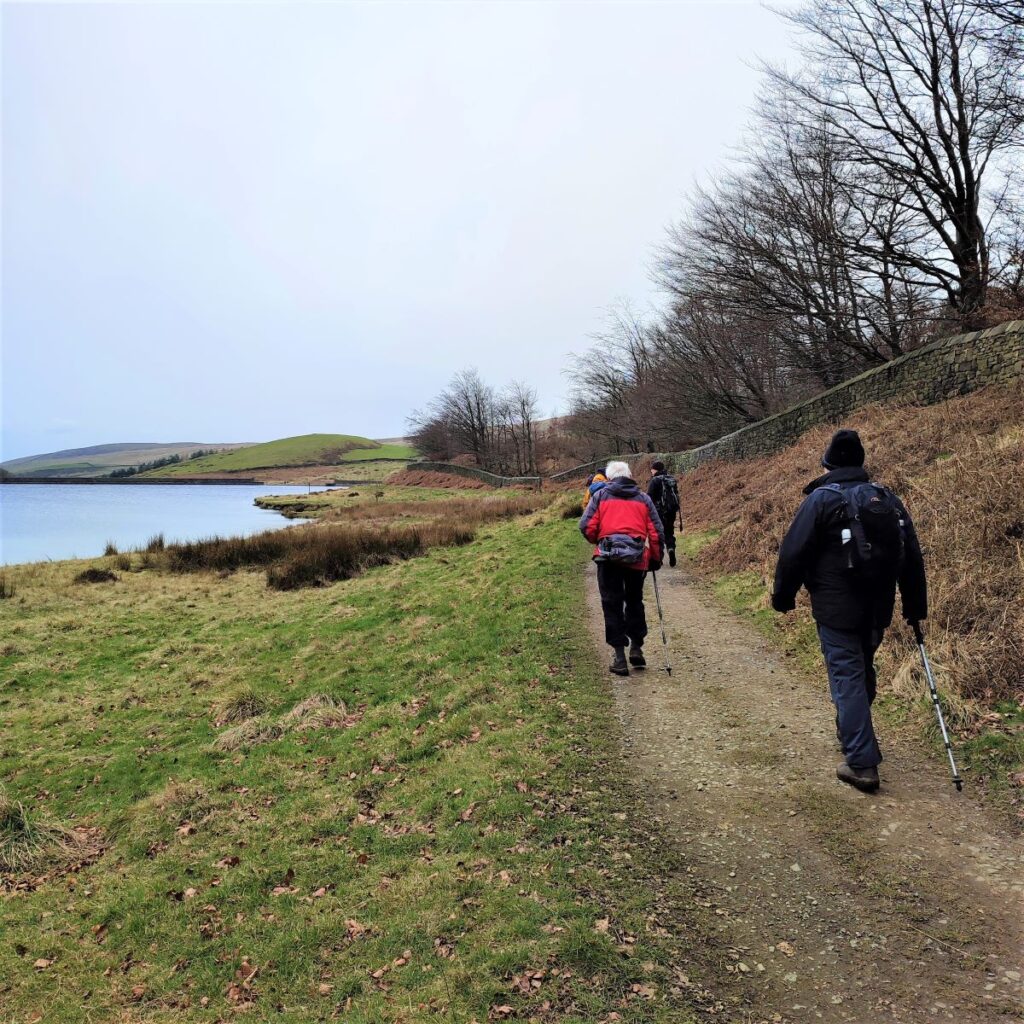
We head down to the bottom of the valley and then turn left to approach the reservoir. Churn Clough Reservoir was built in the late 1800s and extended in the 1920s. It is now used for fishing and there is a good footpath round it, making it a popular spot for family strolls in the summer.
We climb a stile up to the road around the reservoir and turn right to follow the water’s edge round to the spillway where we take a path uphill keeping the peak of Calf Hill on our left.
From here the path is clear and wide and brings us back to the road where we drove in. We need to walk left down the road (walkway on the left) for just a short while before we arrive back at the car park.