Mallerstang, and the Upper Eden Valley, are among England’s few remaining wild and peaceful places.
David Bellamy described this general area as “England’s last Wilderness”.
This challenging walk has everything: Lady Anne’s way, sculpture, the source of the river Eden, spectacular scars, cairns, disused quarries, incredible views, gentle riverside sections, and even a castle.
Not enough? Pick the right day and you might see a steam train and the RAF in training.
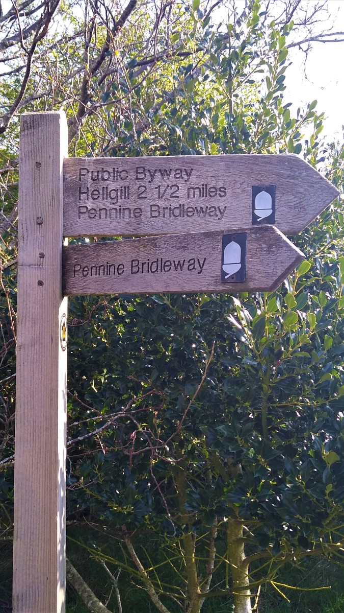
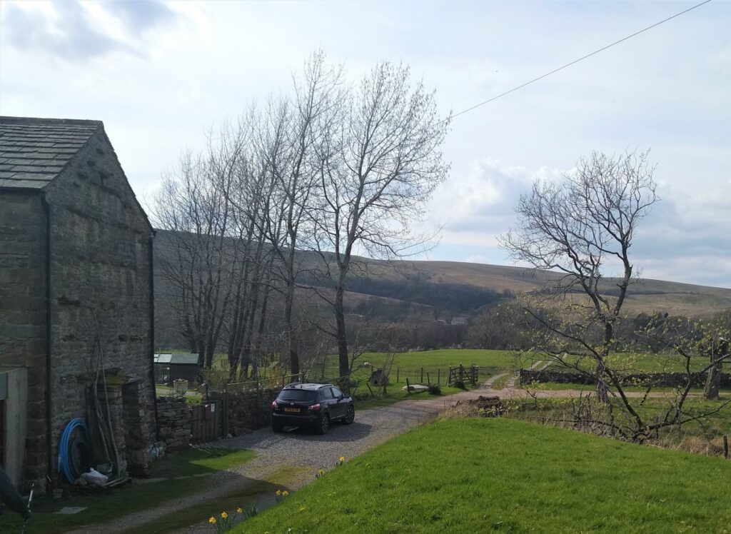
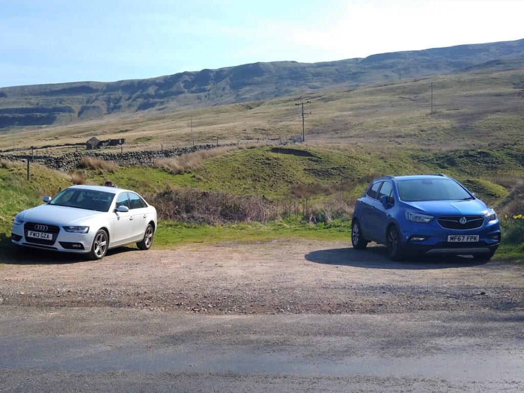
The walk starts from a lay-by on the B6259 just south of Outhgill. Map reference NY78310050 and what-3-words tag zooms.ages.coping will locate it, whilst postcode CA17 4JX will get Satnav users to the right section of the B6259. Once there look for the Pennine Bridleway sign to Hellgill on the Mallerstang Edge side of the road – the parking is just to the north of the Bridleway.
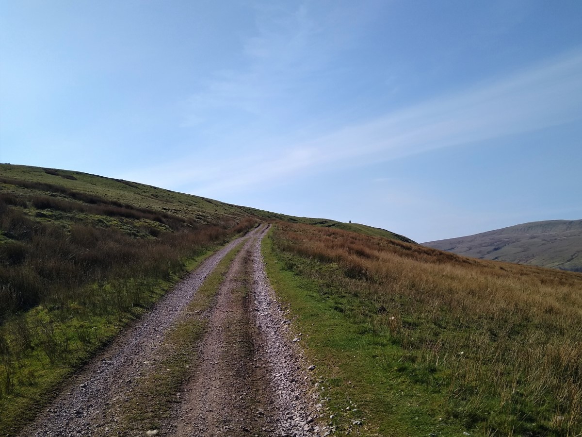
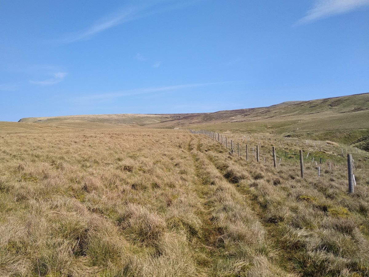
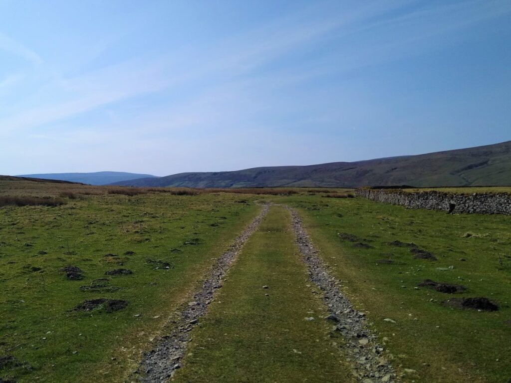
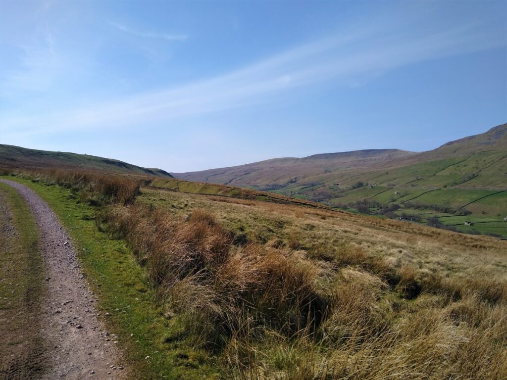
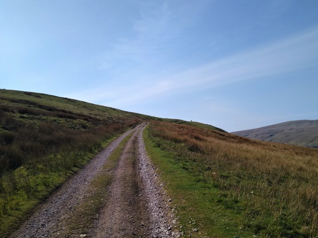
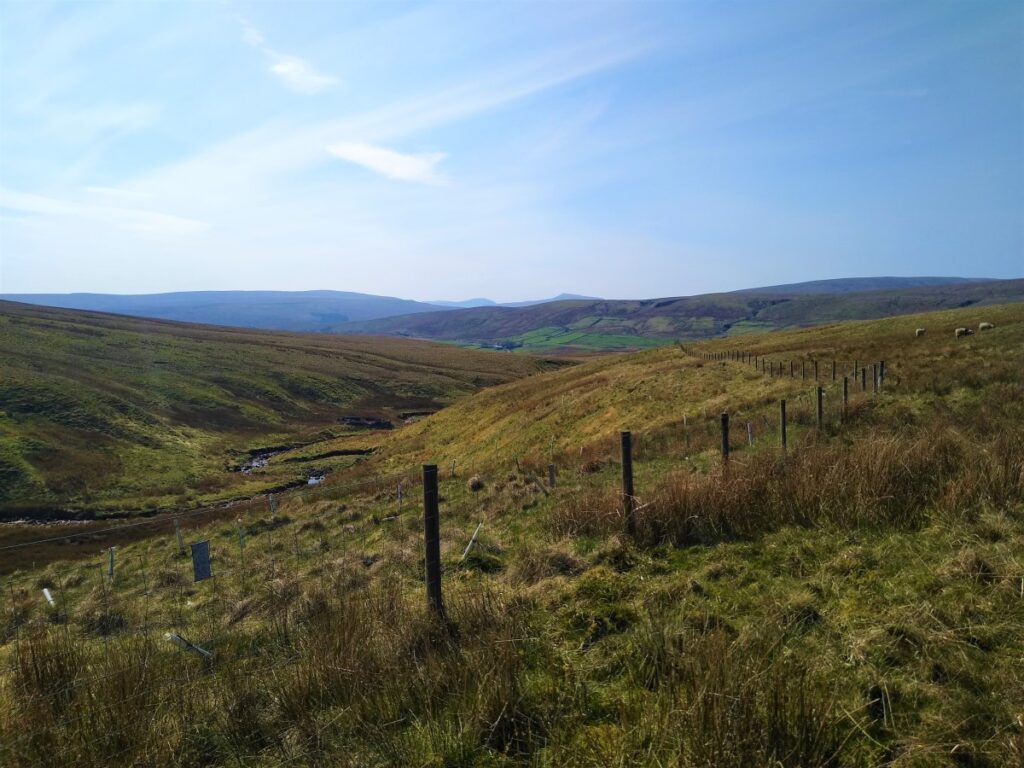
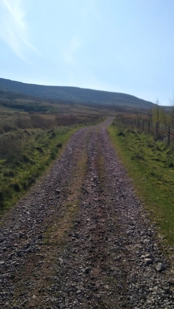
The first section of the walk is up the Pennine Bridleway – so initially navigation is very easy. The track is well surfaced and quite gentle with good quality fords over a series of gills running down from Mallerstang edge above us and to the left.
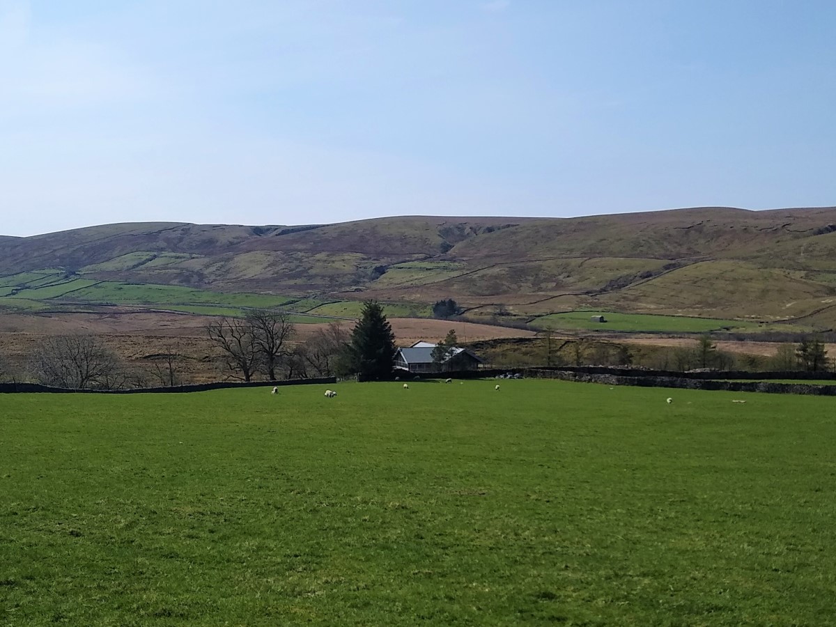
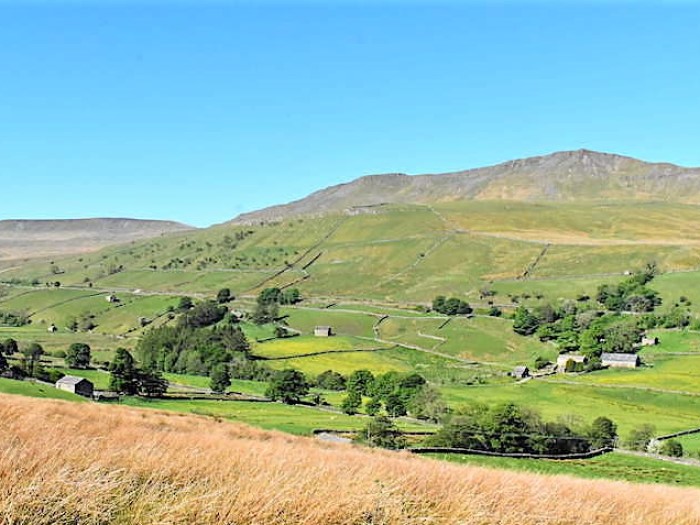
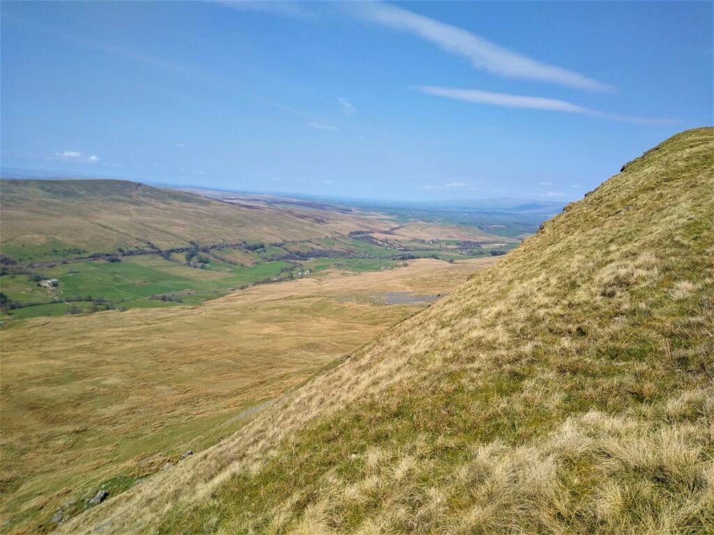
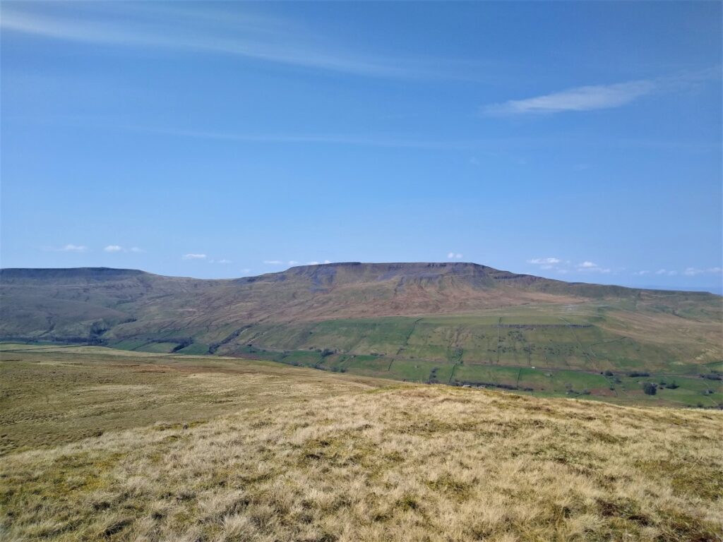
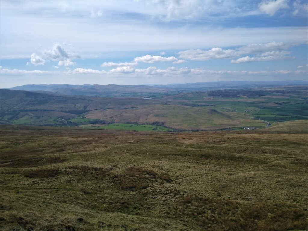
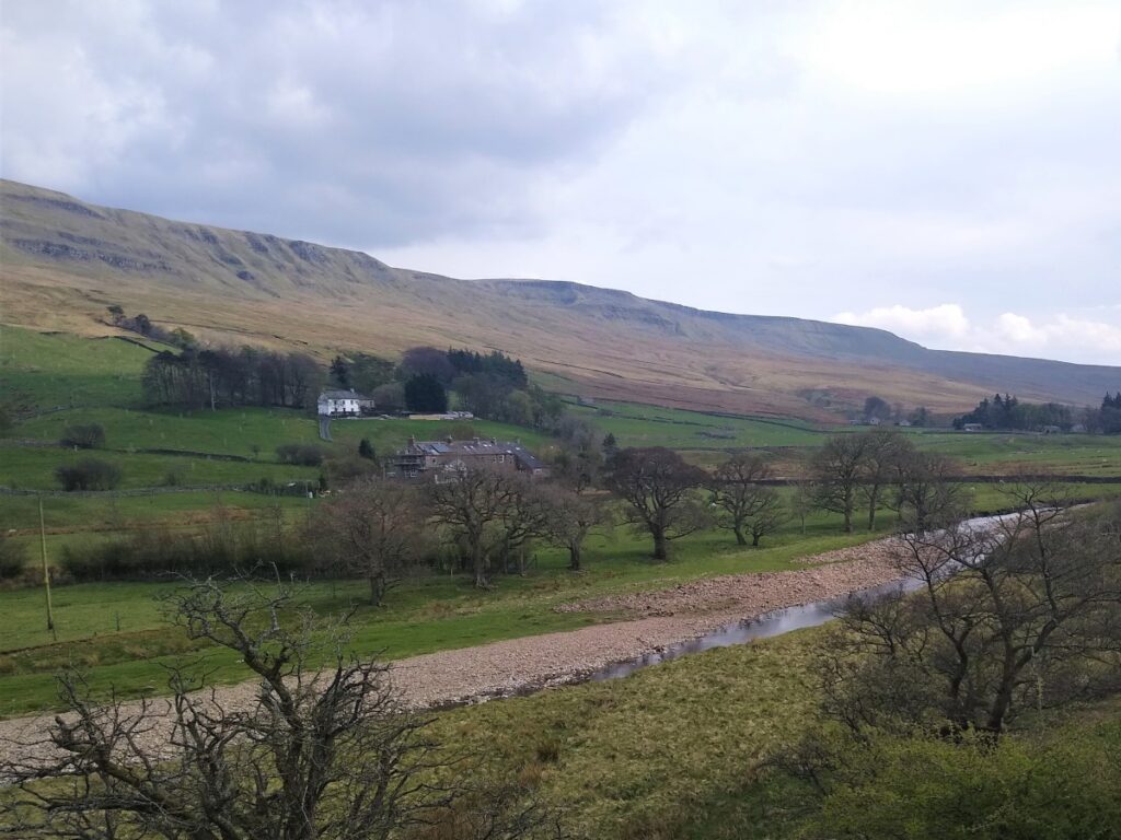
Through this stage of the walk, the best views are across the valley toward Wild Boar Fell to the West, and from time to time, we see trains on the Settle to Carlisle railway which seems to cling to the edge of the hill.
Ahead of us, we see the Pennine Bridleway continue into the distance. The bridleway here coincides with the Lady Anne’s Way long distance path – parts of which are used in other Bentham Footpath Group walks.
The route was inspired by Lady Anne Clifford, an indomitable woman who owned vast estates in the old county of Westmorland during the seventeenth century. Born in 1590 at Skipton Castle, Lady Anne erected the Countess Pillar near Brougham, Cumbria, in memory of her late mother. This was the site of her last meeting with her mother in 1616. On the low stone beside it, money was given to the poor on the anniversary of their parting. This is commemorated annually on 2 April.
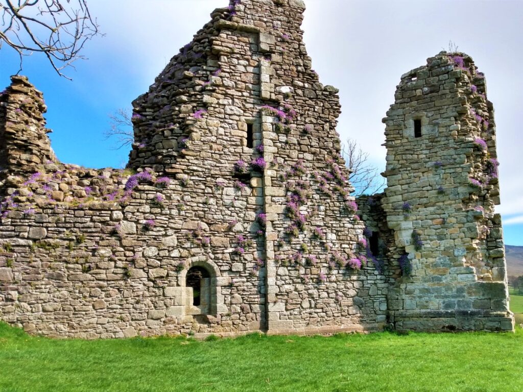
She also restored churches at Appleby-in-Westmorland, Ninekirks, Brougham and Mallerstang and was responsible for the improvement and expansion of many of the Clifford family’s castles across Northern England. These include Skipton Castle, Pendragon Castle, which we see later on the walk, Brough Castle, Appleby Castle and Brougham Castle.
Lady Anne travelled extensively between her castles and the route takes in these once magnificent buildings, most now largely in ruins.
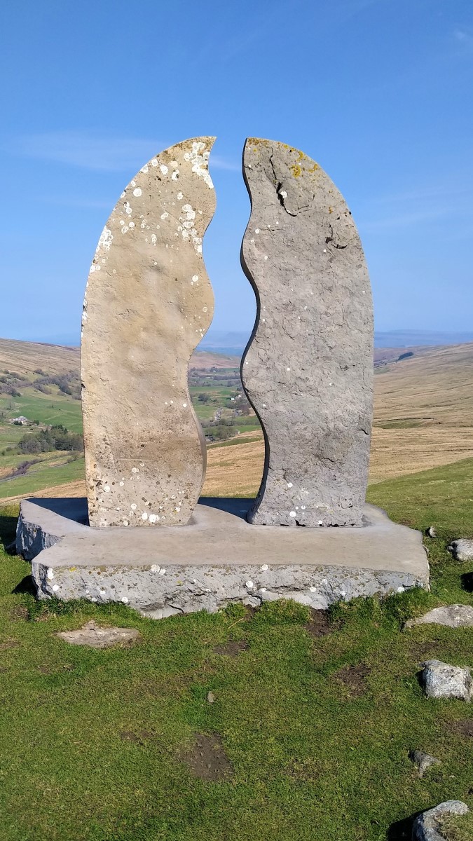
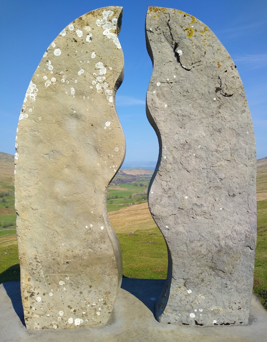
As we look along the bridleway, we notice what at first appears to be an arch on the horizon. As we get closer, it becomes apparent that this is in fact a sculpture: One of a series called the Eden Benchmarks – ten contemporary stone sculptures located at intervals along the length of the river Eden between its source above the Mallerstang valley and Rockliffe, north of Carlisle, where it runs into the Solway Firth.
This Mary Bourne work, titled ‘Water Cut’ is located close to the source of the river Eden, high up on the eastern side of the Mallerstang valley. The space carved between the two vertical pillars creates the shape of a meandering river in the sky and provides a ‘window’ onto the real river in the valley below. It also symbolises the power of the river Eden cutting through the rock on its journey through East Cumbria. Made from Salterwath Limestone, taken from a quarry near Shap, it also resembles the gate posts and stiles in drystone walls, which are so characteristic of the area, whilst its outer curve makes reference to the viaduct arches on the nearby Settle-Carlisle railway.
Mary Bourne studied fine art at Edinburgh College of Art and lives in the Northeast highlands of Scotland. Her work regularly deals with the forms and formations of landscape and her own relationship with the natural environment. An accomplished stone carver, her considerable experience has included a three year residency at Irvine New Town and numerous public and private commissions.
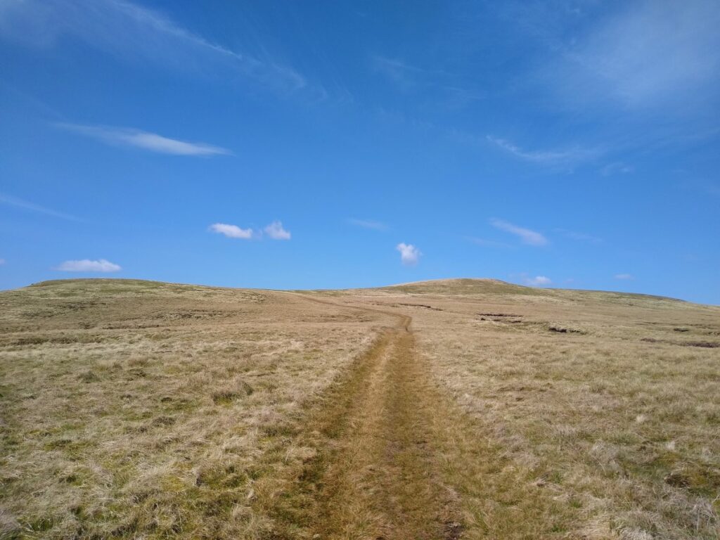
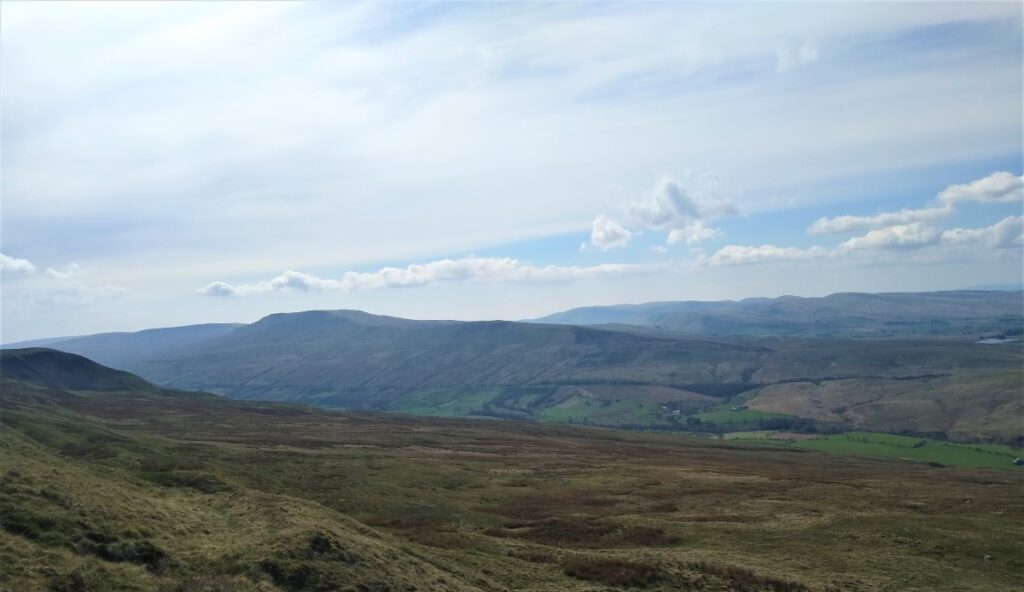
From the Water Cut we continue along the bridleway, generally heading South below Mallerstang Edge, not gaining a great deal of height at this stage.
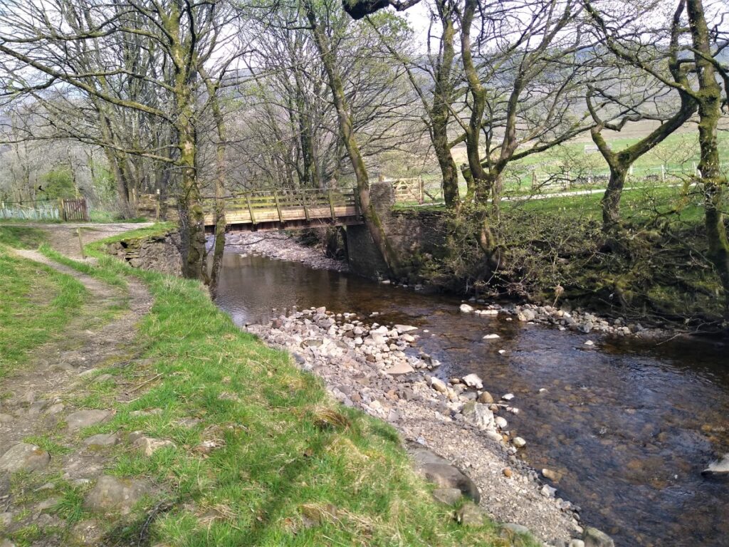
Before long, a wooded area comes into view on our left, and a drystone wall now bounds the track on our right. Within the wooded area is Hell Gill – the source of the river Eden, which cascades down through small waterfalls and then passes under Hell Gill Bridge where the Pennine Bridleway and Lady Anne’s way continue. A clear view of a modern lodge style building on the right confirms our location.
This is where we leave the easy paths and strike out across the moor on access paths; Head uphill along the edge of the wooded area – but do not enter it. Not immediately apparent is a quad bike track that offers easier walking, so as soon as you see that, pick up the track which meanders a little as it heads uphill along Mallerstang edge.
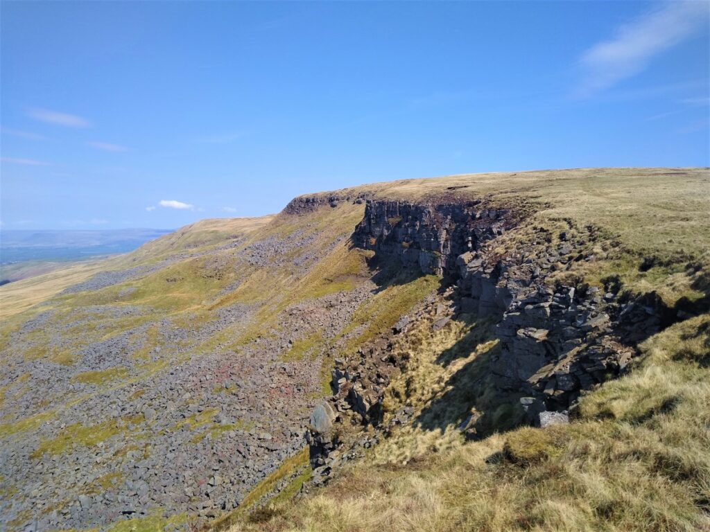
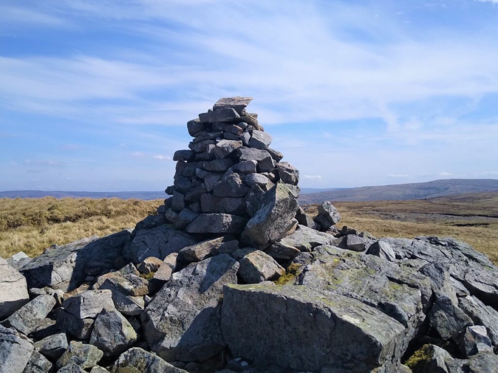
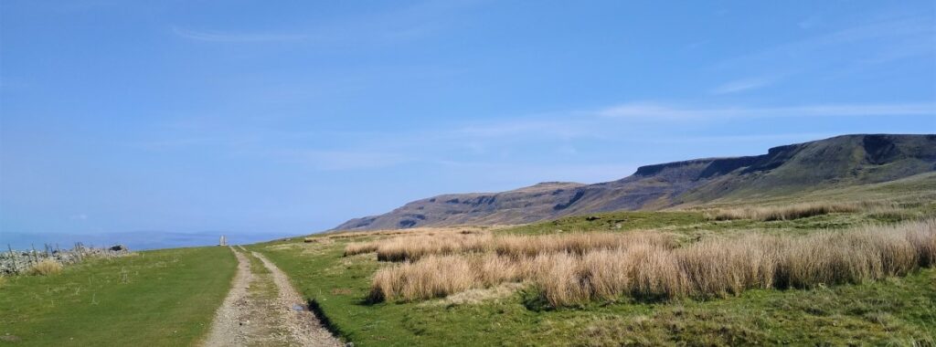
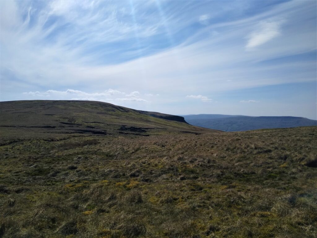
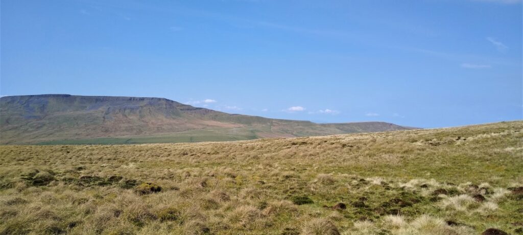
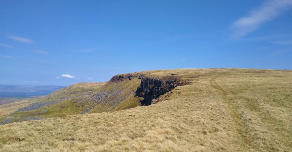
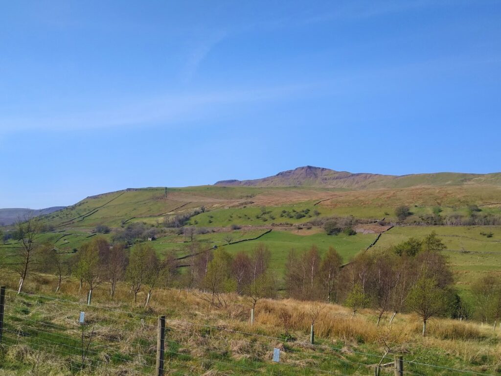
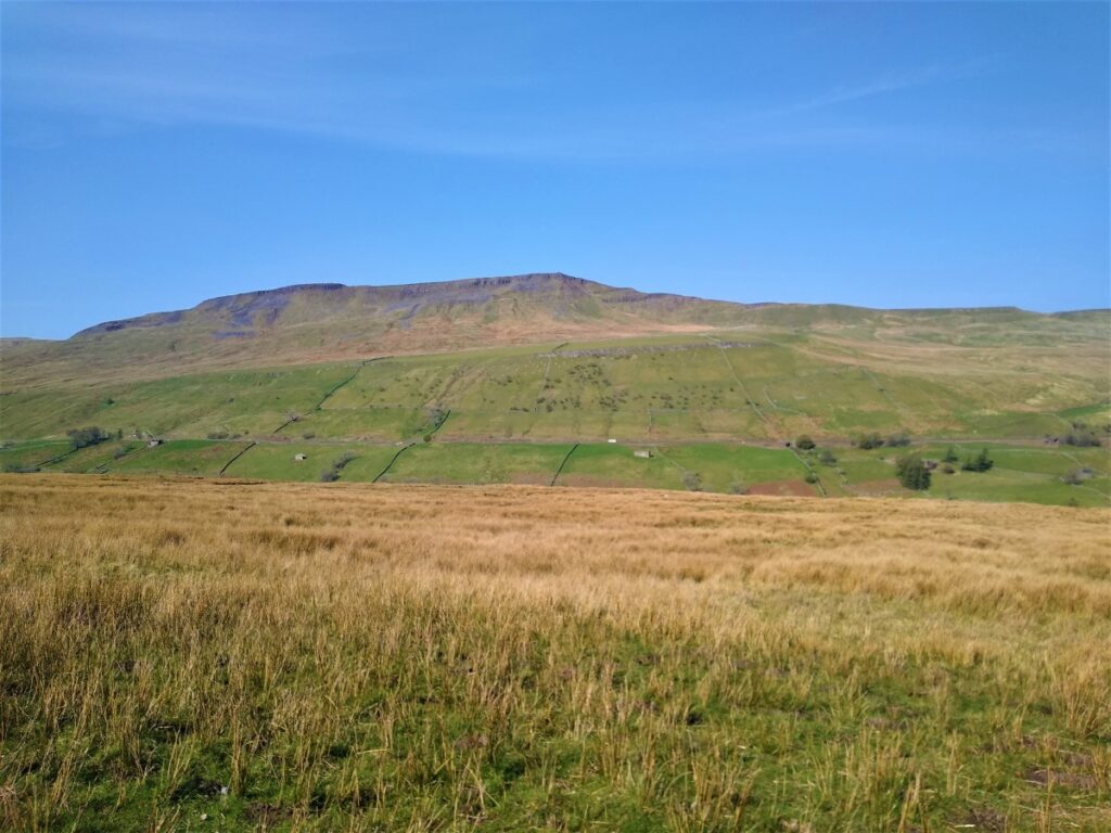
The edge is in fact a series of scars, most with their own cairn and spectacular view, so if the path ahead is unclear, head uphill and aim to have the scar to your left – making sure that the steep drops are a safe distance away, using the cairns as navigation points.
The most prominent scar is Hangingstone scar, and the path goes directly along the top of this.
Further along and slightly lower are the High and Low Loven Scars which sit below the prominent cairn at Gregory Chapel – a good point to pause for a break. The use of the word chapel is unclear here but may relate to the unusually straight edge of the cairn being interpreted as a formal building.
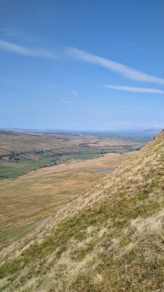
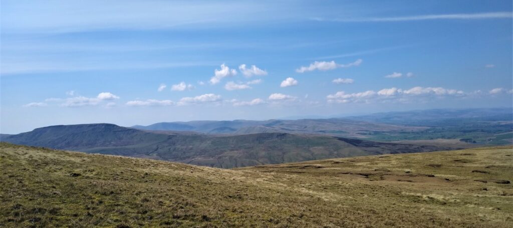
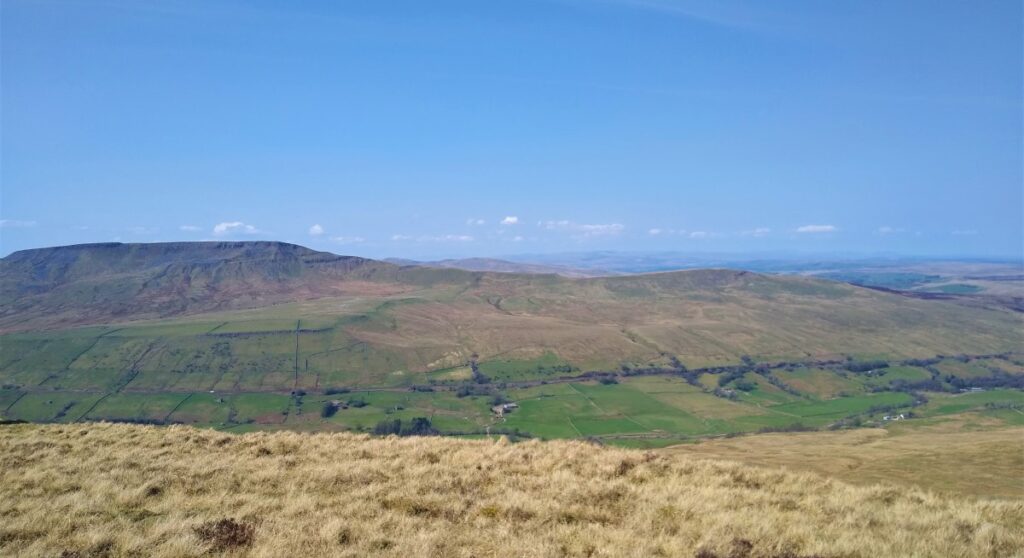
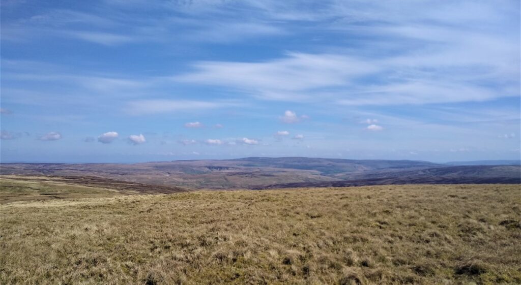
From here the path heads consistently North, reaching the peak at High Seat (709m) where there is another cairn.
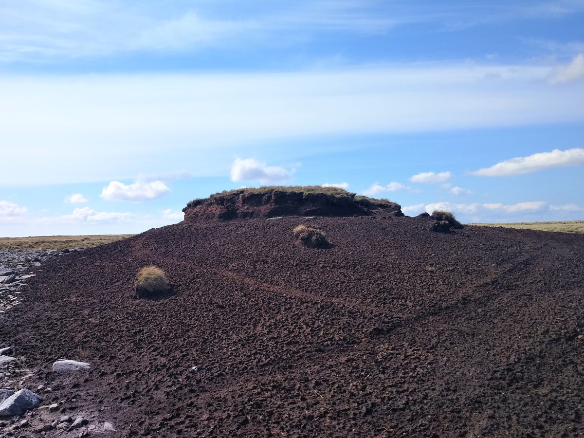
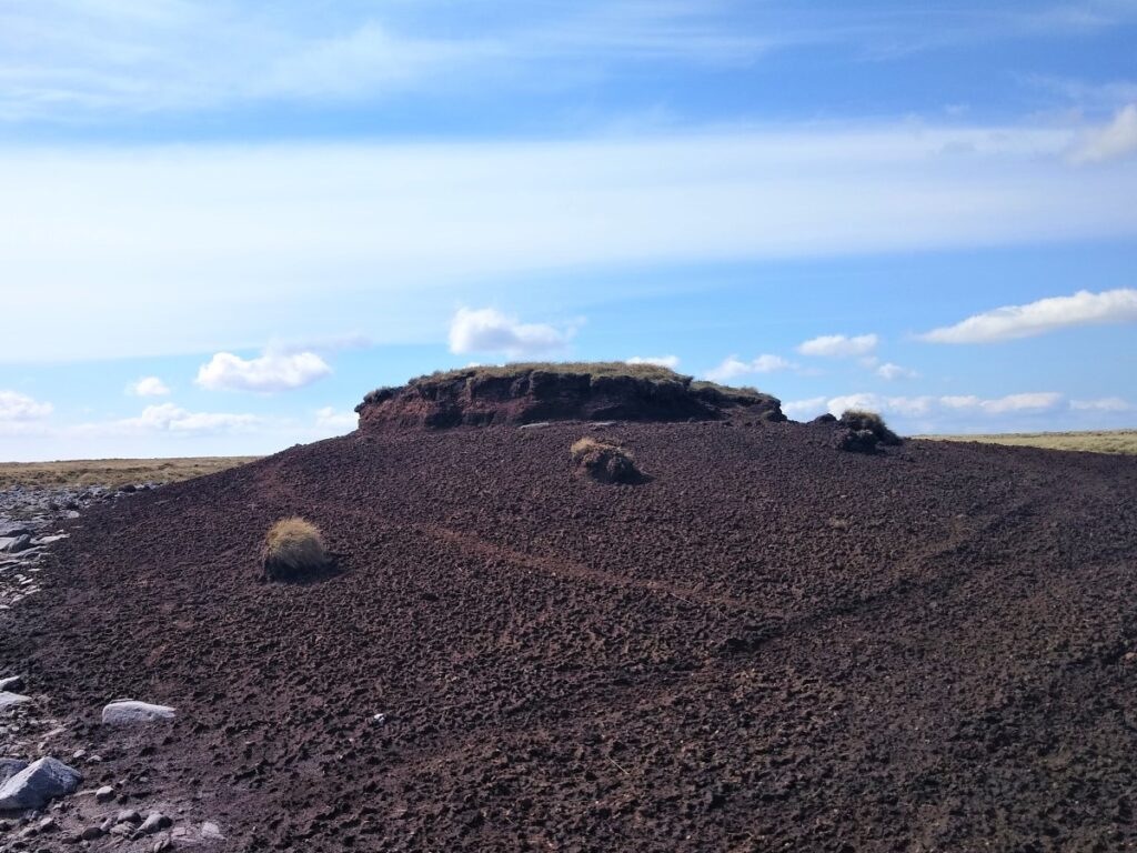
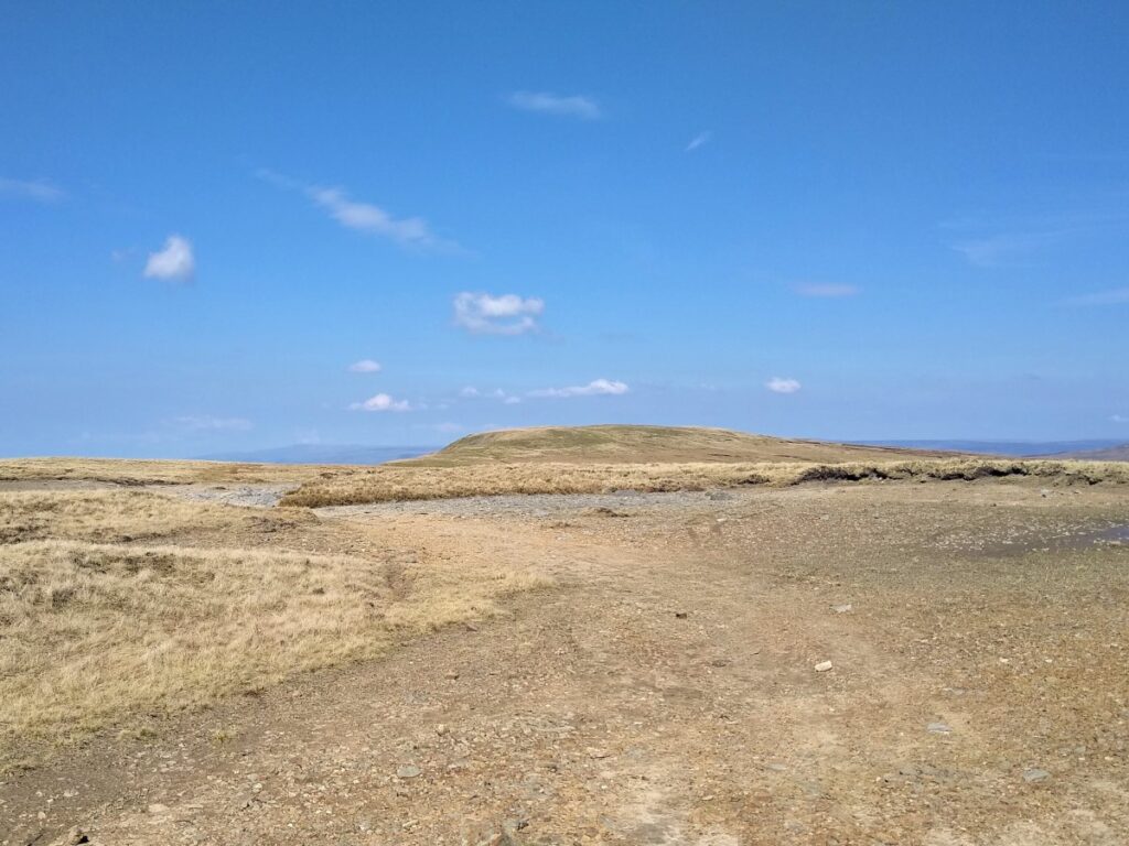
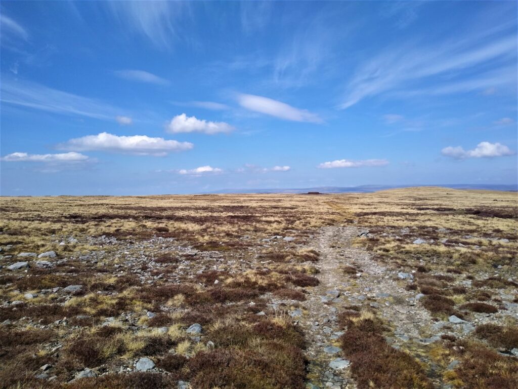
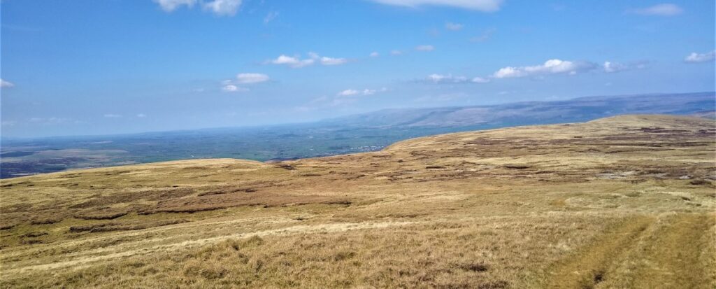
Although this is the high point, we do not yet head downhill – or at least not steeply – instead we look for a final cairn at High Pike Hill ahead of us across a strange landscape made up of a mixture of soft boggy peat and harsh eroded gritstone where the peat has blown away. Even stranger are a number of mesa-like structures where small pockets of deep peat sit upon the underlying stone.
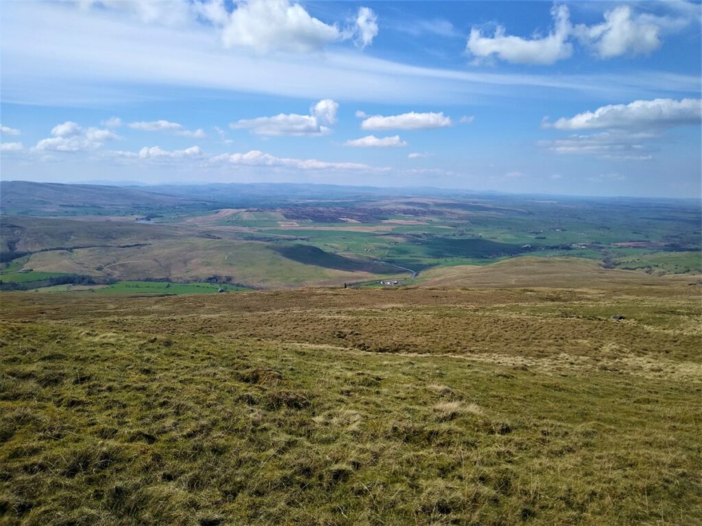
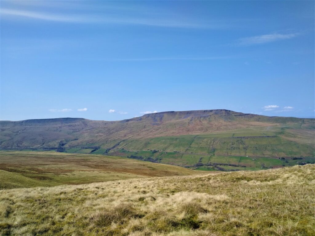
As we arrive at High Peak Hill, we see an abandoned quarry working to the left and here we head downhill, along a reasonably clear path to pick up the corner of the abandoned quarry now re-purposed as a sheep pen with impressive walls. Ahead at this point is the relatively flat land where we see Kirkby Stephen in the distance.
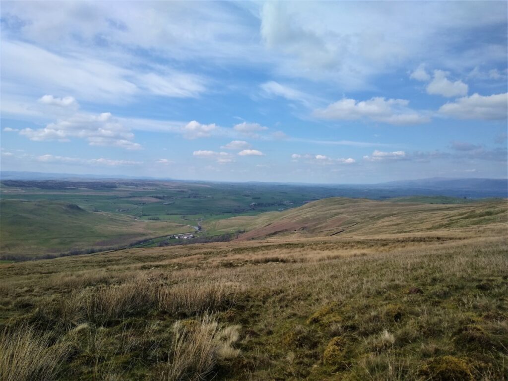
From here we need to find a path down to the B6259 at Pendragon Castle.
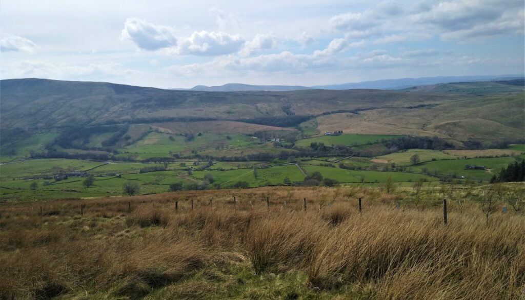
This is not easy – there is no clear and obvious “right” way, and the castle is not yet visible as a landmark, so the best option is to head Southwest, through the grass that can in places be marshy and difficult. We should be aiming to pass below the scars and the scree fields but not lose height too quickly.
Keep an eye out for a fence on the left, and when this comes into view allow the path to meander down to that fence.
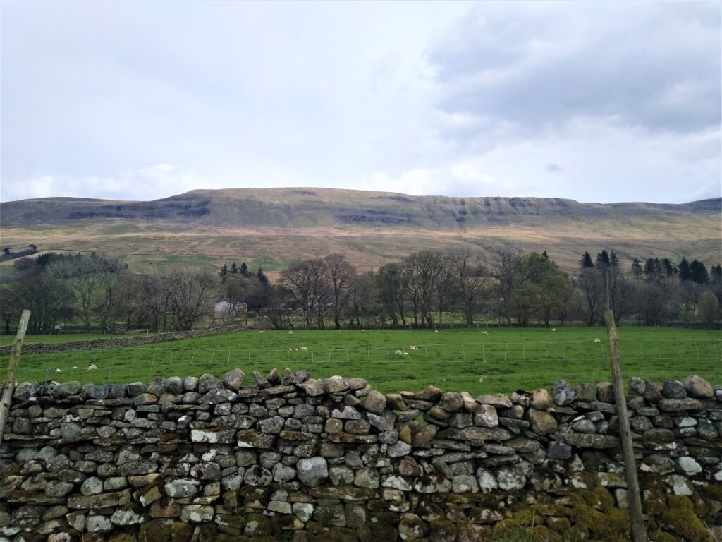
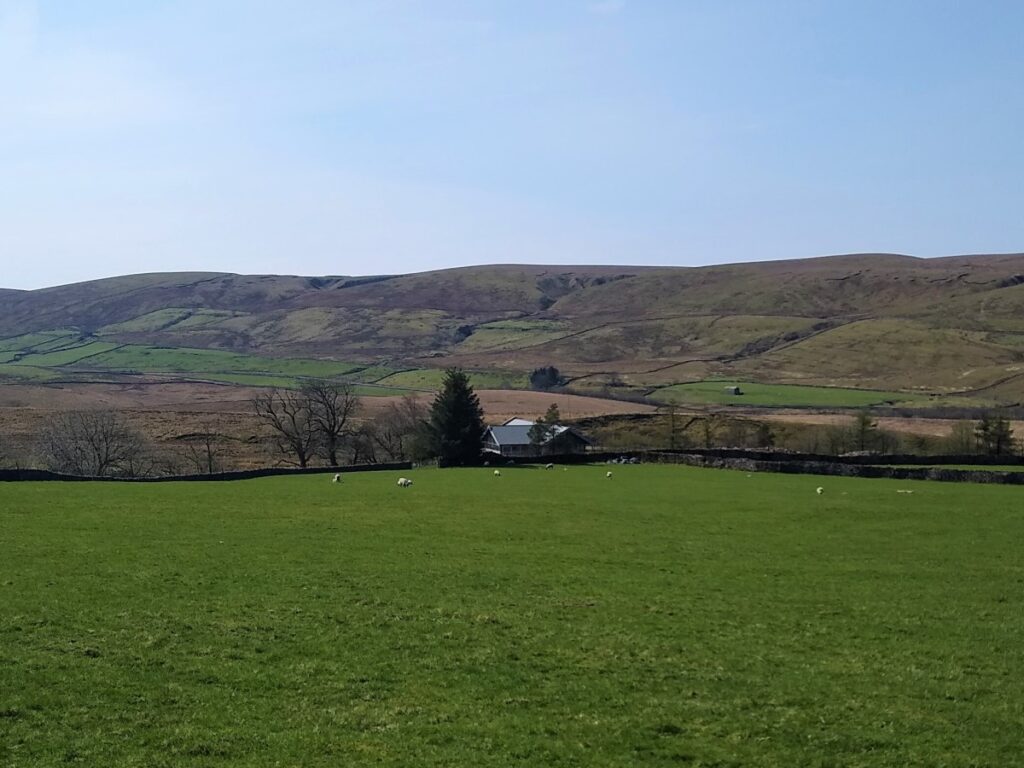
Follow the fence around – ignoring any gates that lead into an area planted with saplings, remembering to enjoy the views up to the scars that we walked along the top of earlier in the day, until the fence turns sharp right end heads downhill to some farm buildings where a number of other paths meet, and signage reappears.
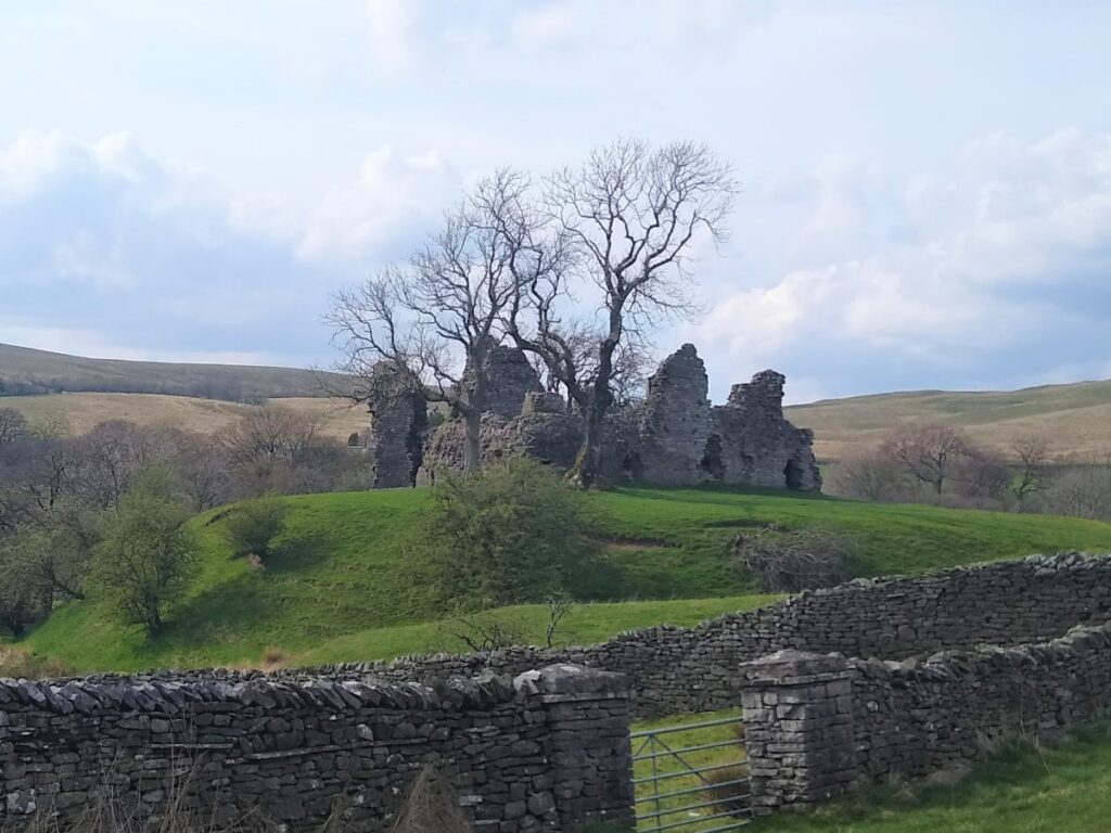
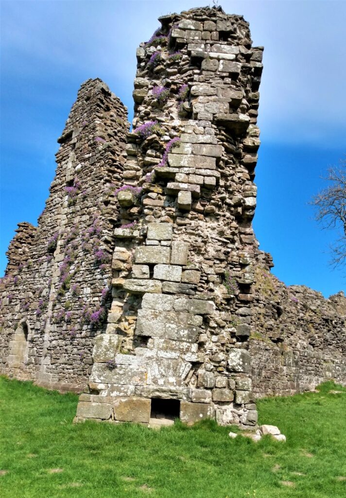
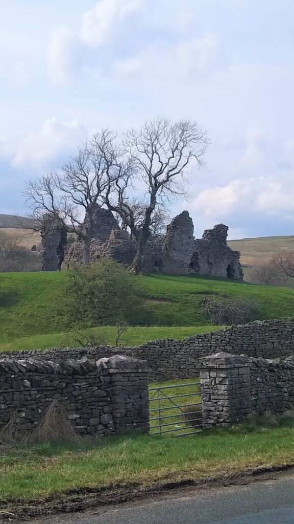
Also visible from here is Pendragon Castle, and we take the signed route through the buildings onto a lane down to the road and the castle.
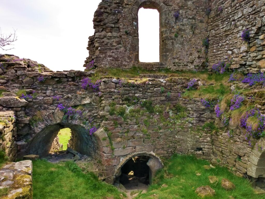
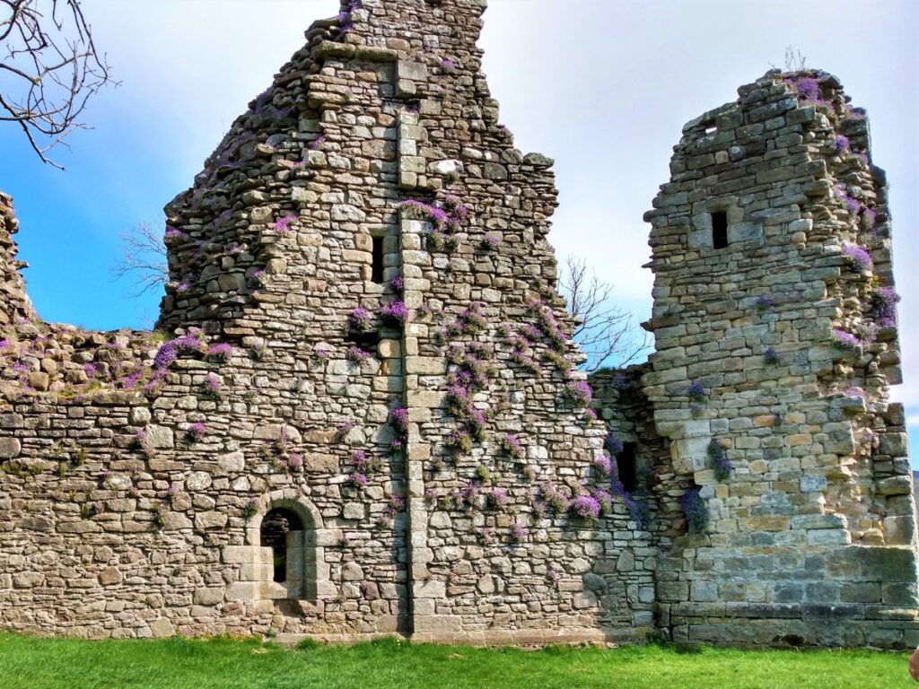
Pendragon Castle is reputed to have been founded by Uther Pendragon, the father of King Arthur. According to legend, Uther Pendragon and a hundred of his men were killed here when the Saxon invaders poisoned the well. There is also a suggestion that the Romans built a temporary fort here, along the road between their more substantial forts at Brough and Bainbridge. This is all very romantic, but there is no real evidence that there was any building here before the Normans (probably Hugh de Morville) built the existing castle next to the river Eden in the late 12th century.
Like the nearby castles of Appleby and Brough, Pendragon came into the possession of the Clifford family. It was abandoned after a raiding Scottish army set fire to the castle in 1341 but was rebuilt in 1360. It was left in ruins by another fire in 1541 to be restored in the mid-17th century by Lady Anne Clifford. The castle gradually fell back into ruin after her death – and now remains a romantic ruin, set in glorious scenery.
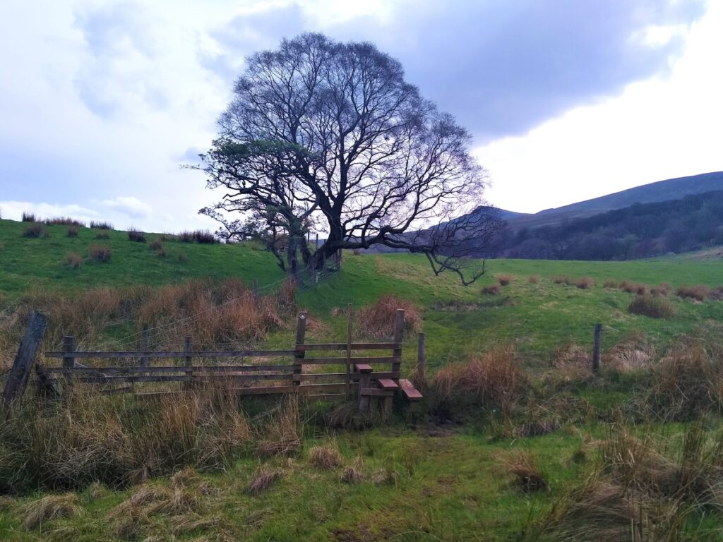
Pendragon Castle is privately owned but is accessible with care – we took a final rest here before heading back along the river to end the walk.
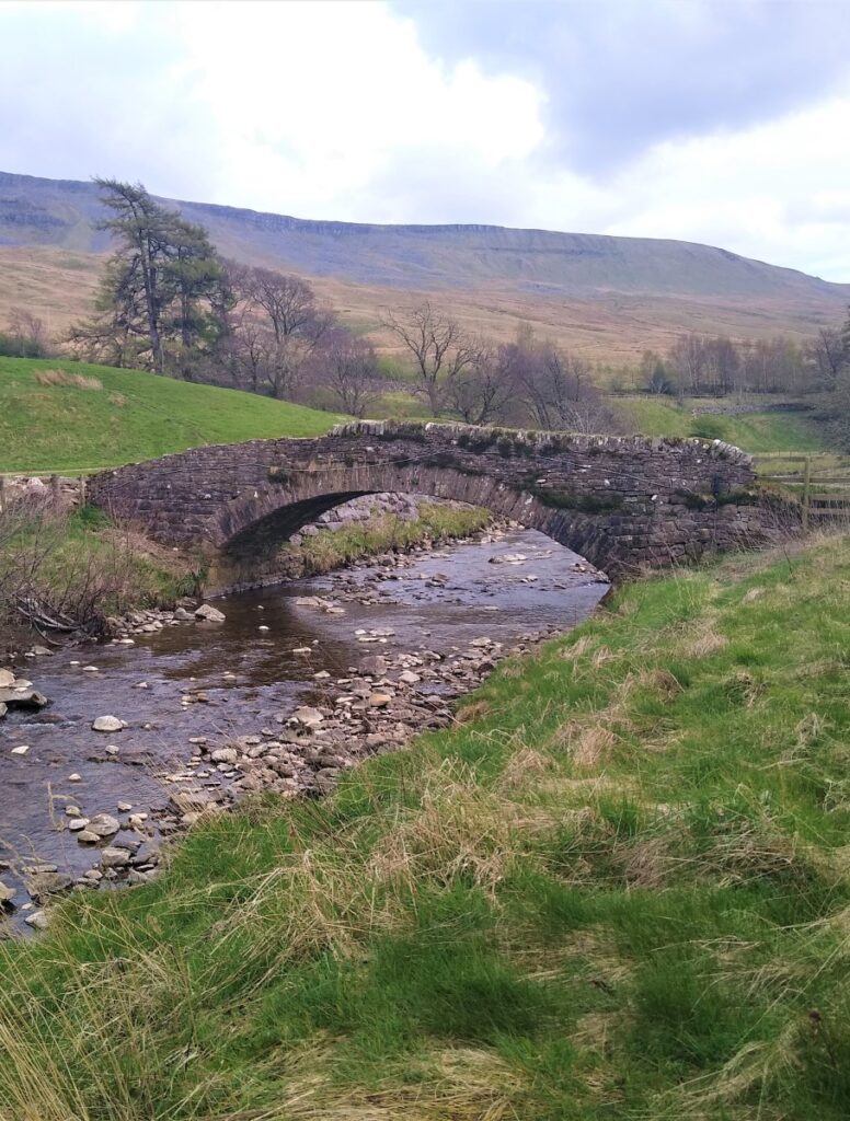
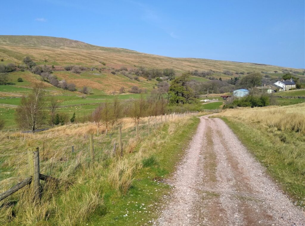
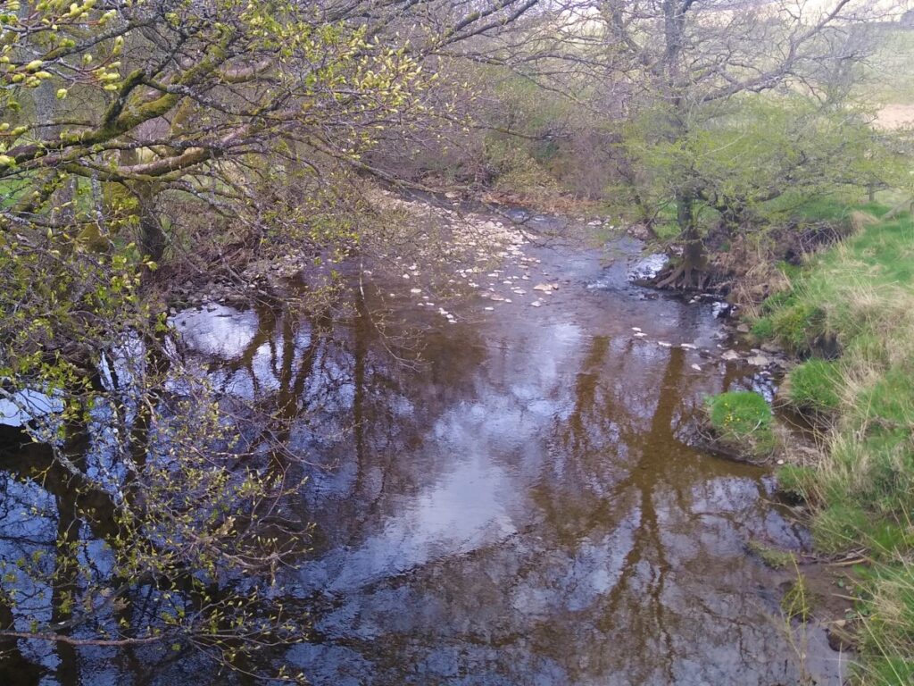
From the castle, we take the lane that crosses the river Eden, and take the riverside path upstream on the far side of the river. The path here coincides with the Pennine Journey long distance path, so the route is clear and relatively easy going.
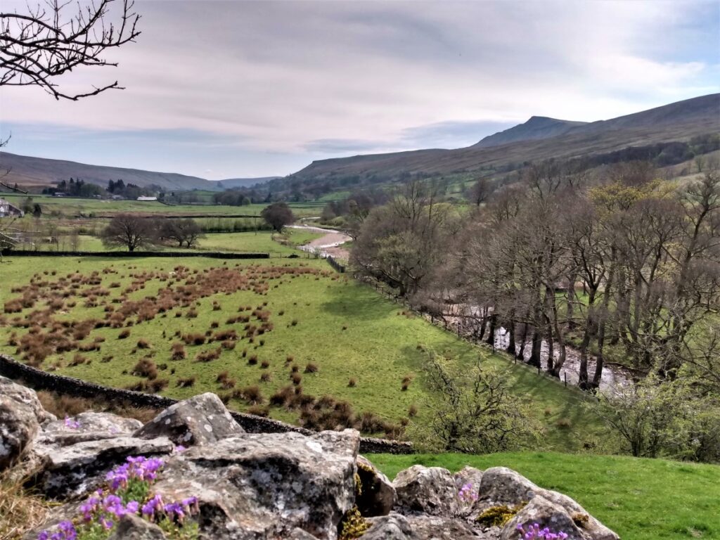
We pass through Shoregill – an attractive cluster of cottages and continue to follow the path upstream keeping the river on our left. The path then leaves the river to pass to the right of a farm before coming back to the waterside where we continue.
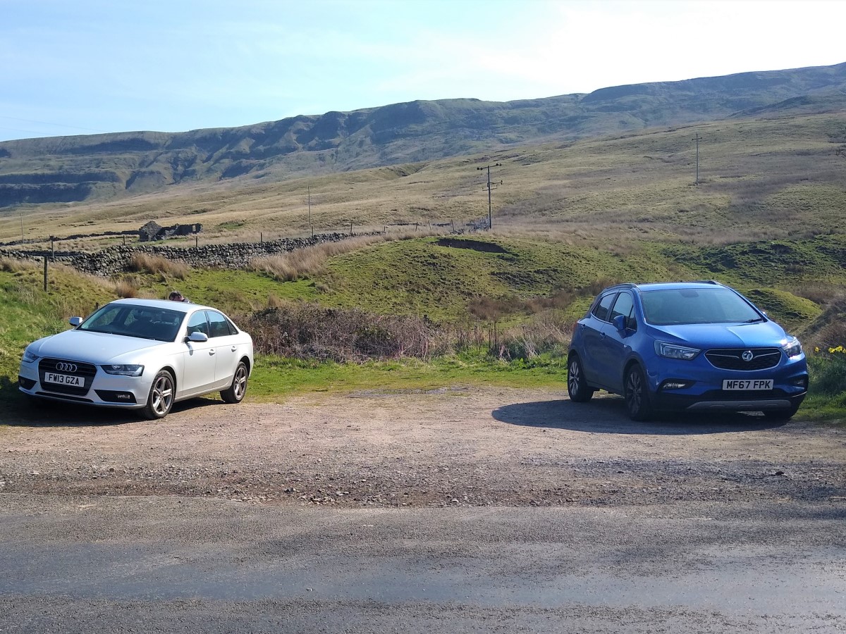
We then see a footbridge over the river – with a limekiln visible on the far side, and this is the Thrang. From here walk back up the main road where the cars will be seen.