Jump to . . .Step by Step | OS Map | Downloads | Gallery | Fly through
Driving through Caton on the A683 is a frequent occurrence for those of us luck enough to live in or around Bentham, and so it’s easy to forget that Caton is a great place to start a walk.
It offers easy access to the river Lune, and the Millenium Park path, or as our Claughton or Annas Ghyll Walks showed, the moors above Brookhouse.
For this walk, we again start at Bull Beck and then take riverside paths down the Lune to the Crook O’Lune bridge before returning on the other side of the river using the millennium way. The route is a figure of 8 shape so there’s an obvious opportunity to split it into two shorter walks if time is pressing or you want to explore Halton or kill time lazing by the river.
- Total distance 11.3 km (7.0 miles)
- Total ascent 140 m
- Easy walk
Step-by-Step

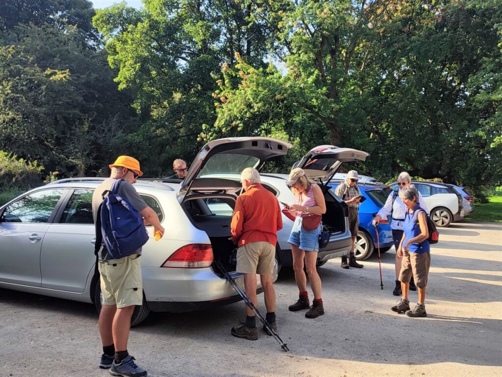
We start from the Bull Beck car park on the A683, on the main road between Caton and Hornby – it is clearly signposted, but if you are not familiar with the area, and are using satnav to get there then try postcode LA2 9QR, or LA2 9JN, but ignore any directions to leave the A683 other than to park at Bull Beck. If you are using a paper map, then the grid reference is SD54216499, and for fans of what-3-words, the tag is fidgeting.truly.feasting. Parking at Bull Beck is free, and there are public toilets. The site is popular at weekends, so our advice is to schedule the walk for midweek or arrive early.
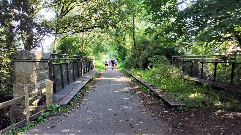
From the car park, we head back to the A683 and cross carefully to pick up the Millennium Park path on the opposite side of the road, initially heading left as if walking to Lancaster. The River Lune Millennium Park stretches some 15km along the banks of the Lune from Bull Beck to Salt Ayre in Lancaster. It is largely based on a disused railway track: The line opened in November 1849, being built by the “Little” North Western Railway. The route was initially constructed as single track – which is why the Millennium Park Path is relatively narrow – as is the bridge over the Bull Beck just before Station Road. Other parts of the line were converted to double running by the Midland Railway at a later date.
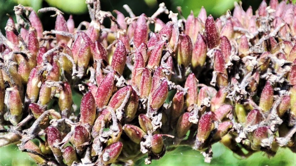
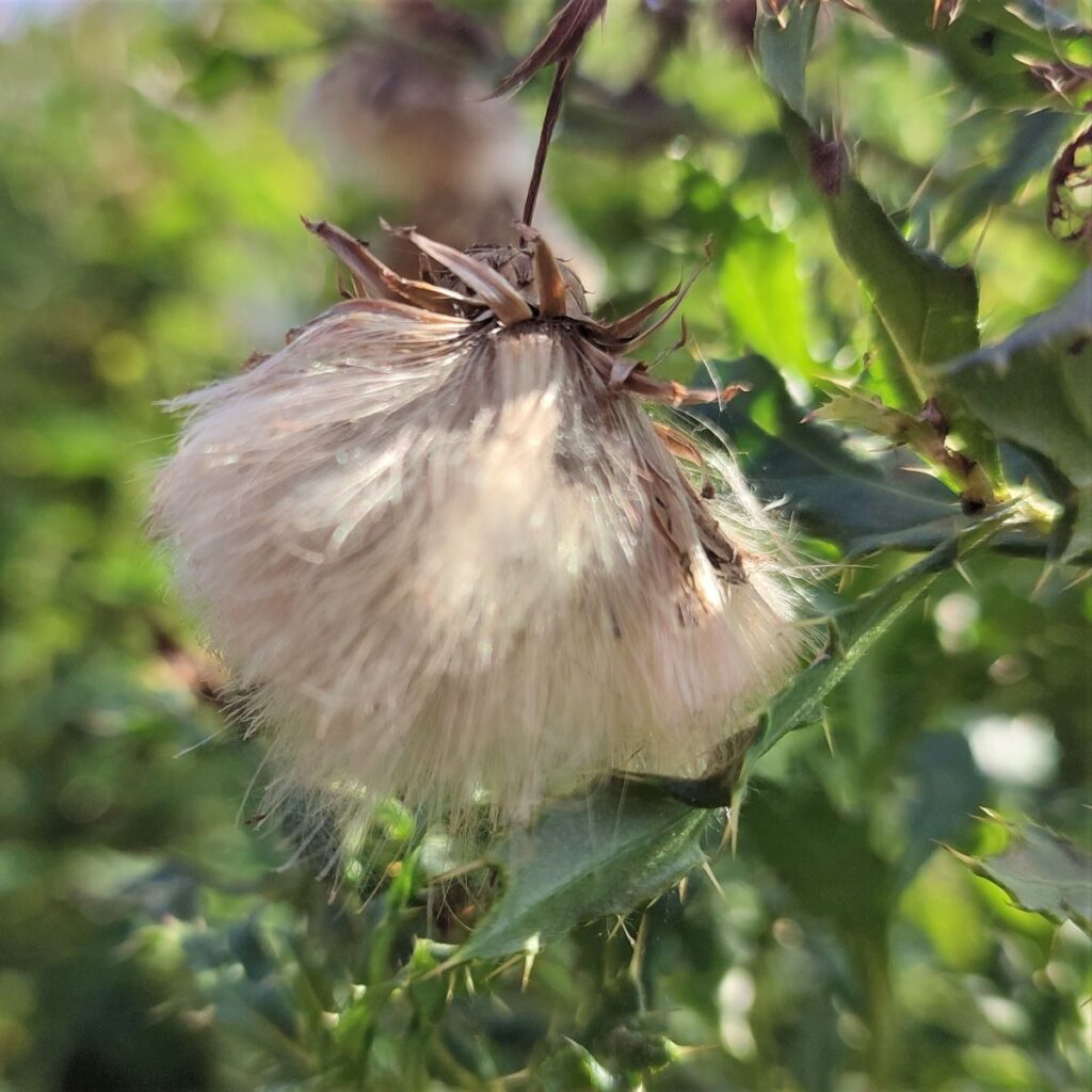
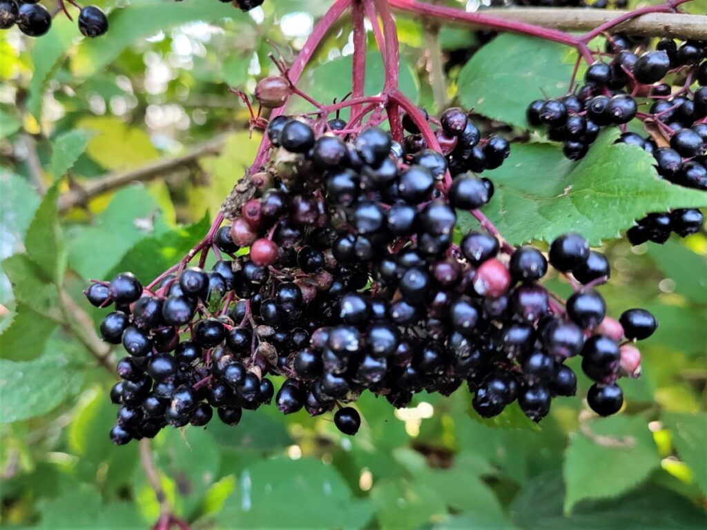
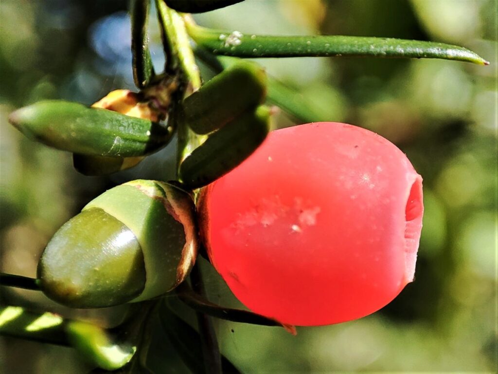
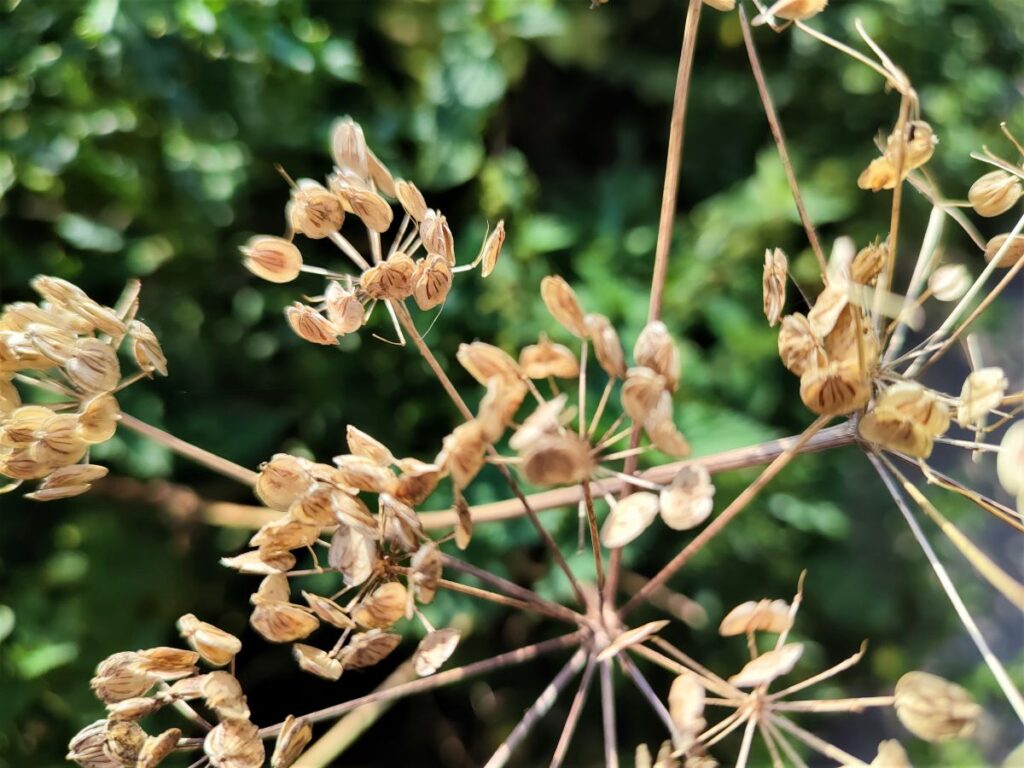
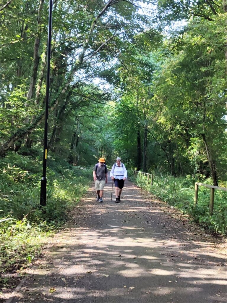
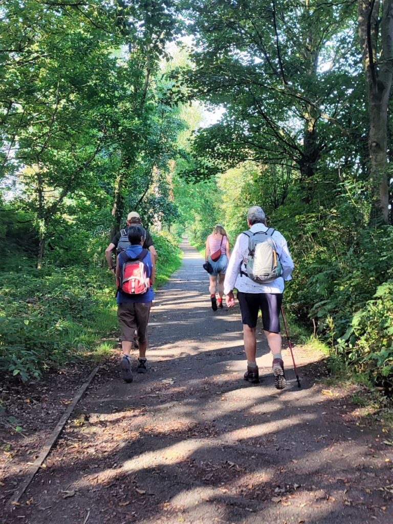
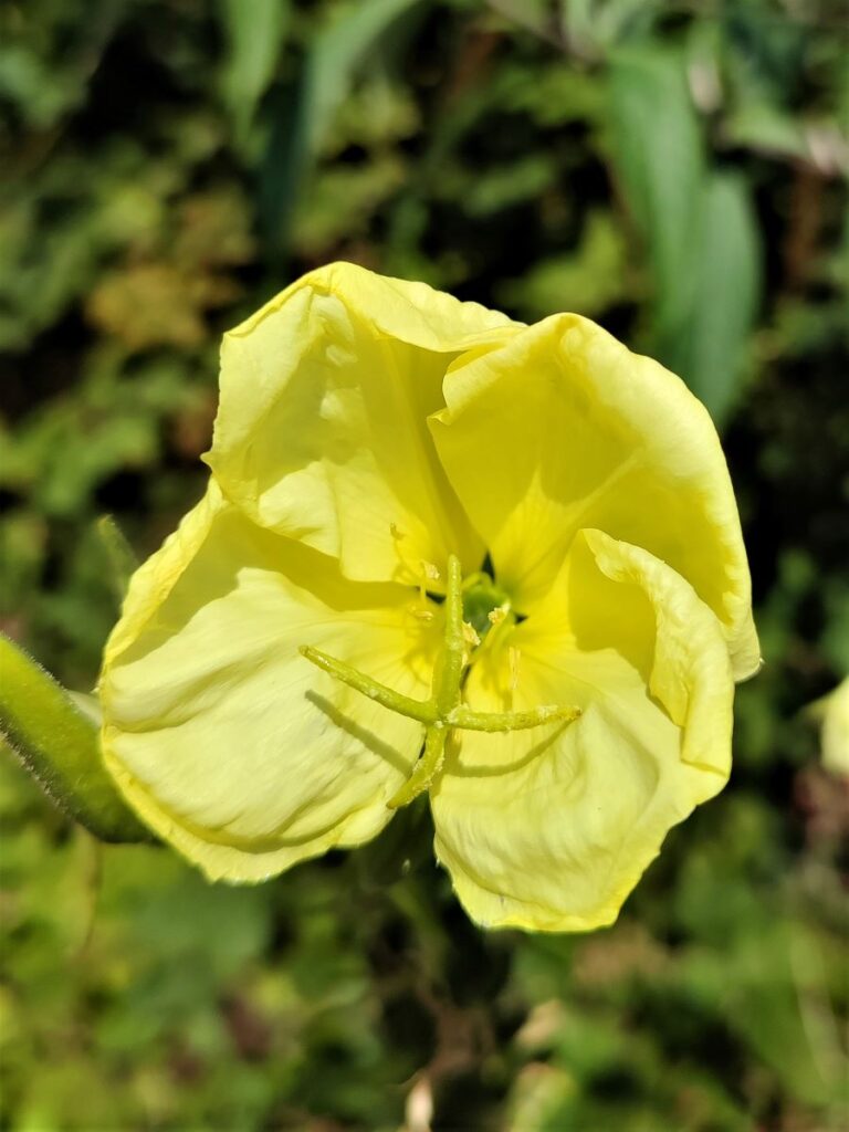
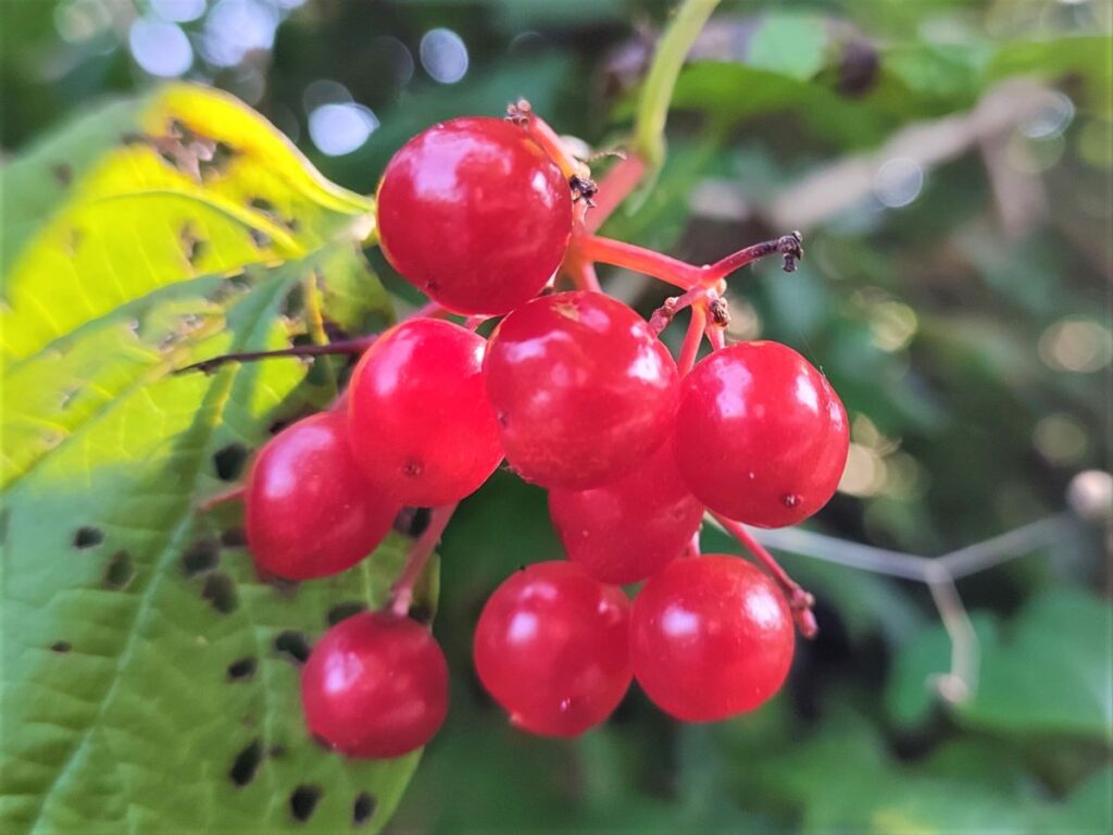
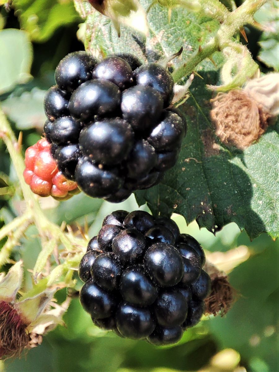
Like many paths based on rail routes, the inclines are gentle, and there are rich hedgerows offering endless opportunities for foraging in the later part of the summer, so popping a container in your rucksack might be a good idea.
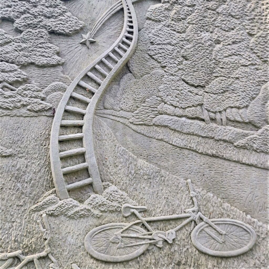
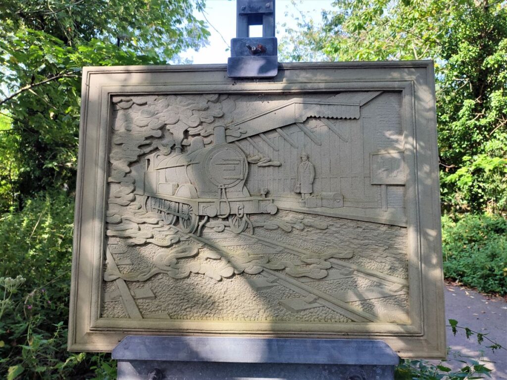
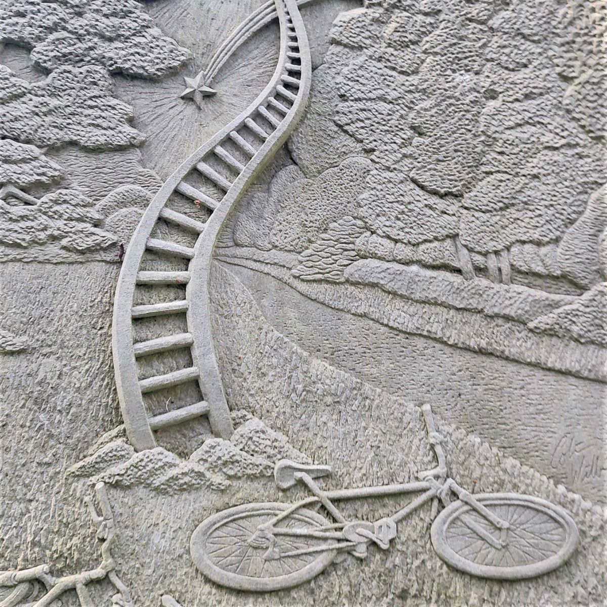
The Millenium Park path intersects with many other footpaths and cycleways, and the route features a number of unusual and thought provoking artworks and information points. The path is shared by cyclists and pedestrians, so care is needed, but it’s well maintained, and wide enough to enable both user groups to co-exist safely. The river Lune is noted for its salmon and late September through October are the best times to see them.
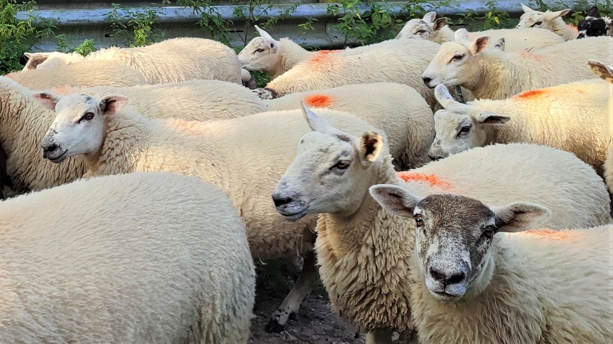
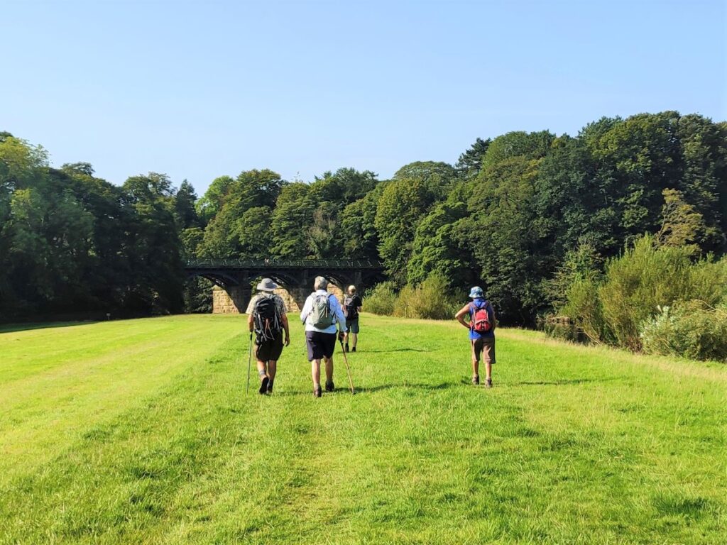
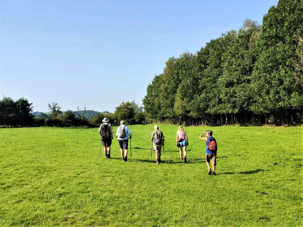
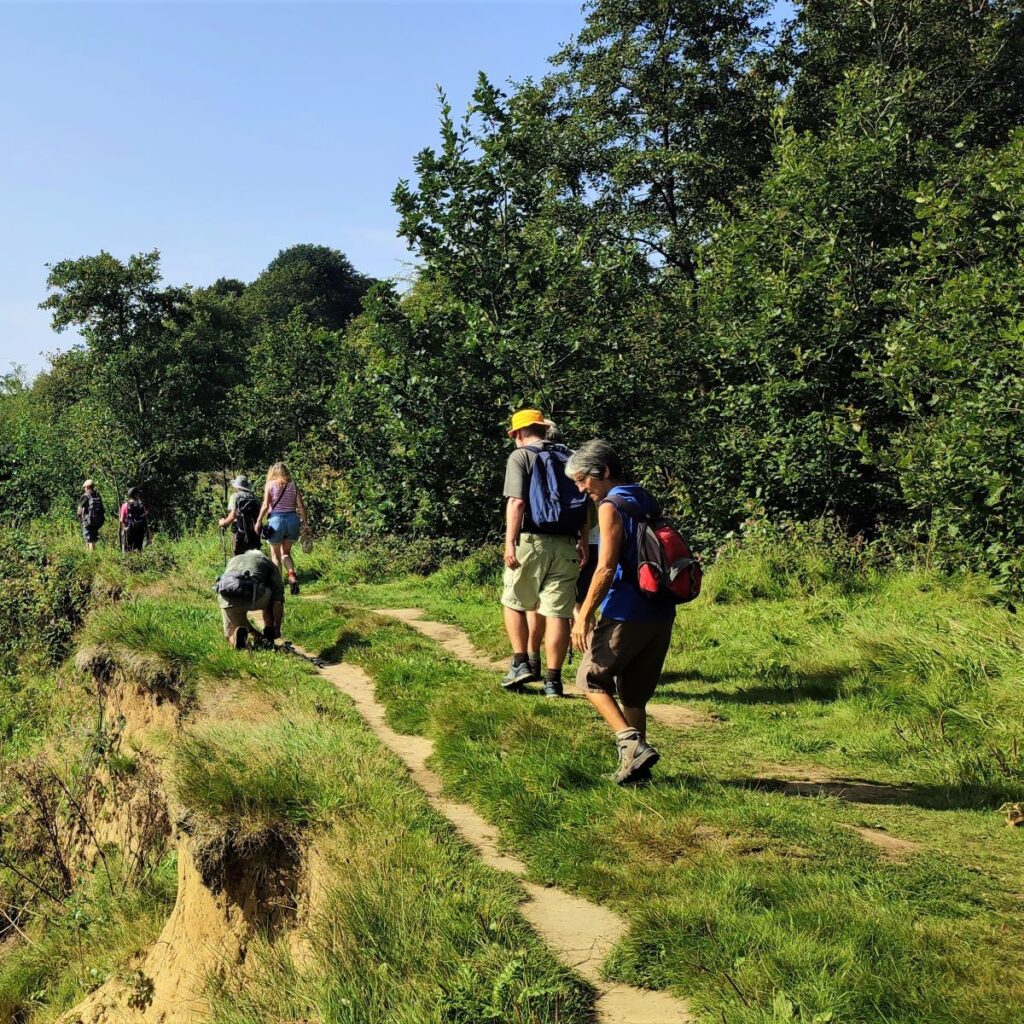
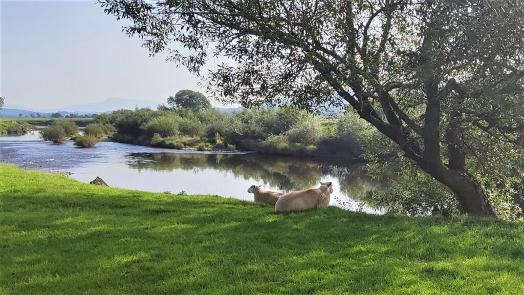
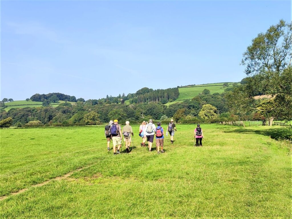
At this early stage in the walk, we stay on the Millenium Park path for no more than 200m, looking for a lane that crosses the path, where we take a right turn heading back on ourselves and across the front of a farm. After about 100m, the farm track takes a sharp left turn, and we continue to follow it heading out toward the river through flat fields that are subject to flooding when the river is in spate. Flooding is often clearly visible from the A683 during the depths of winter, and as we shall see later in the walk, the depth of water that can accumulate here is staggering – although on the upside it does ensure that the land is very fertile, with excellent quality grass. On the day of our walk, we watched sheep fattened on these lush pastures being gathered.
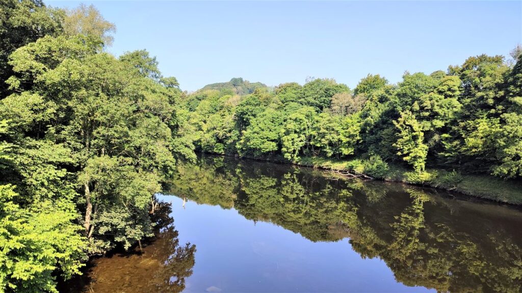
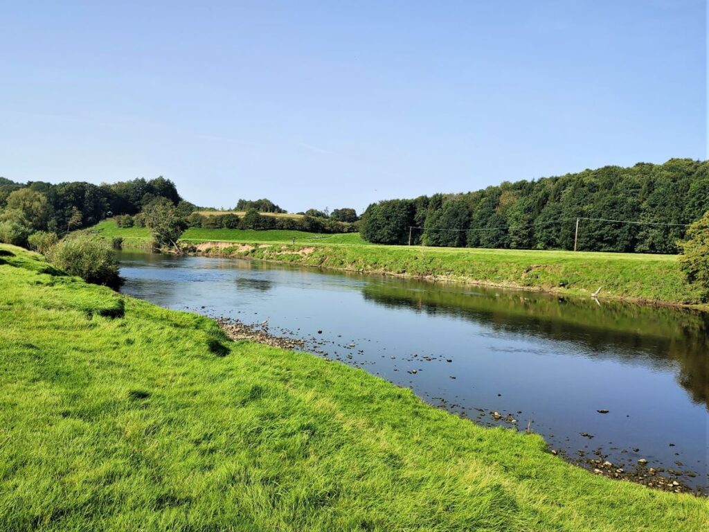
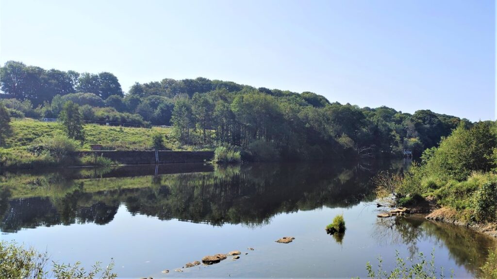
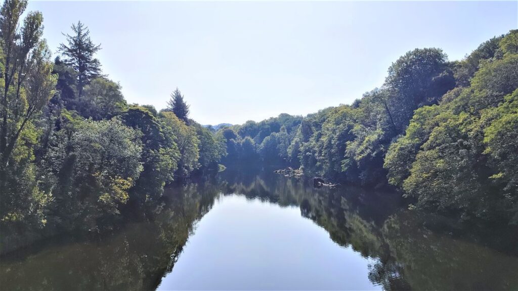
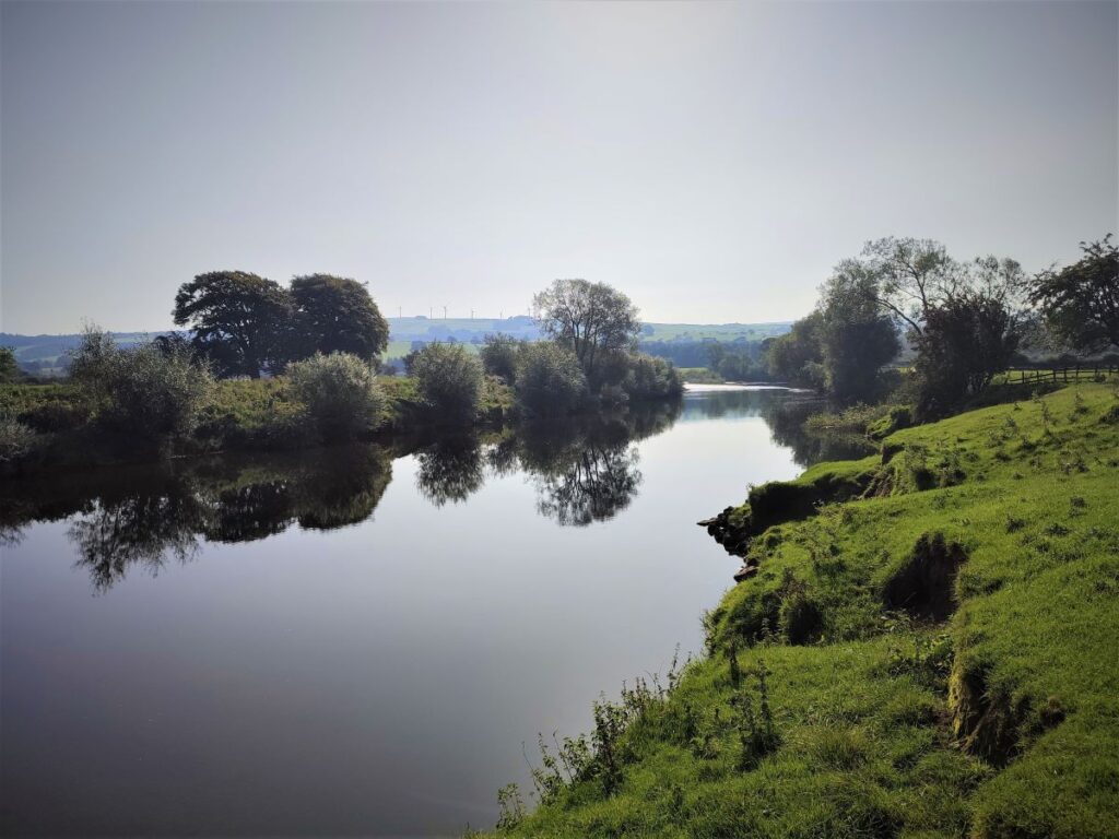
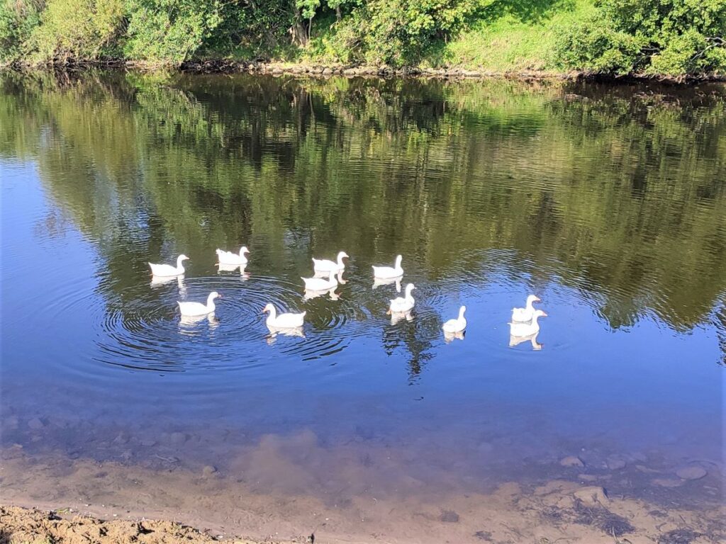
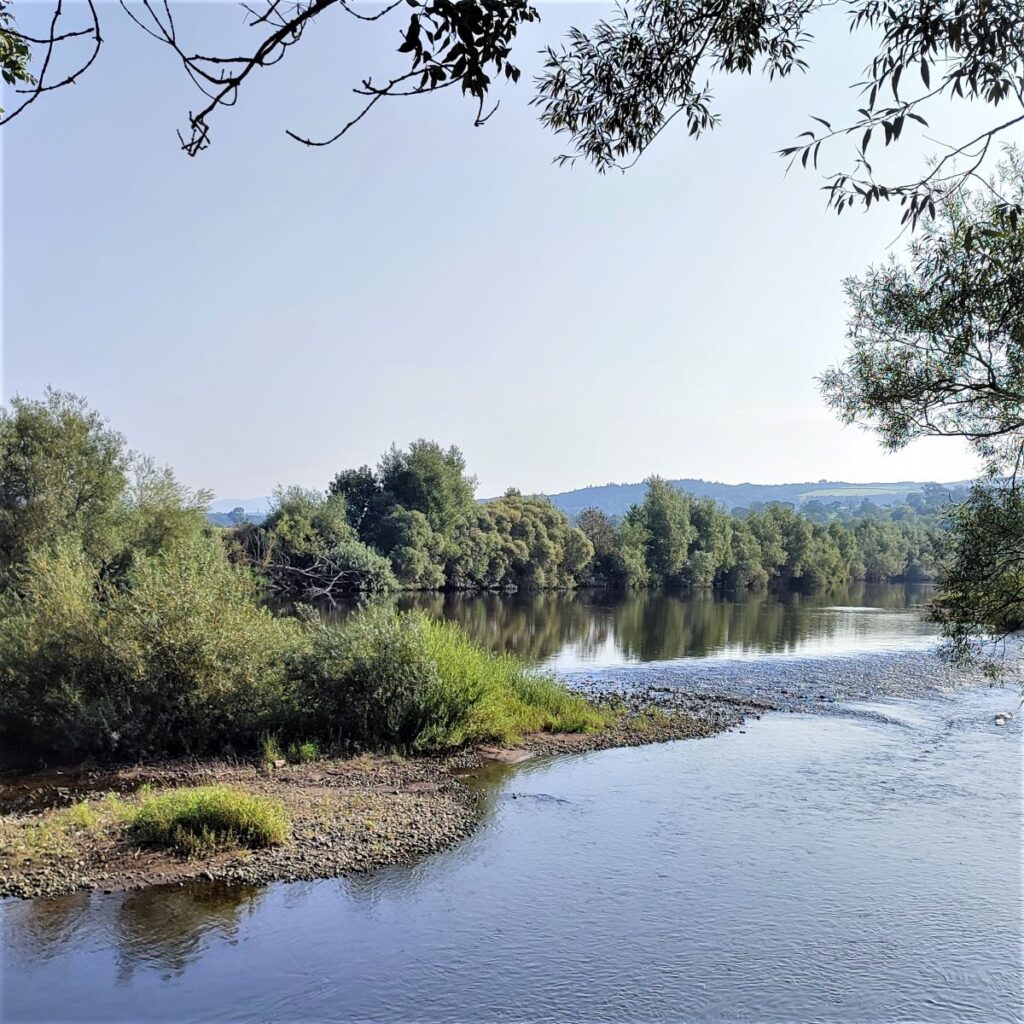
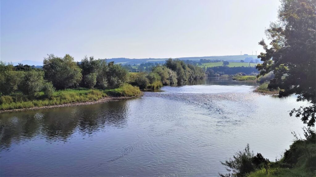
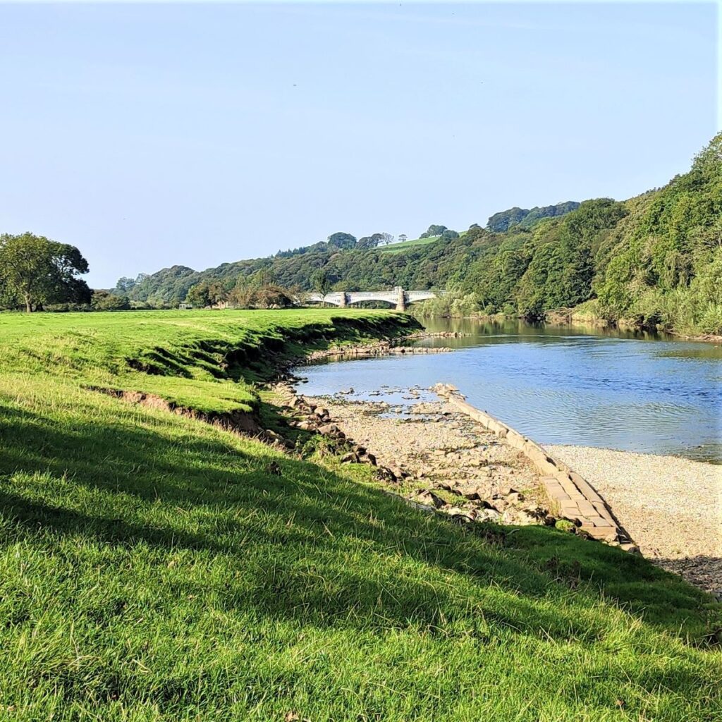
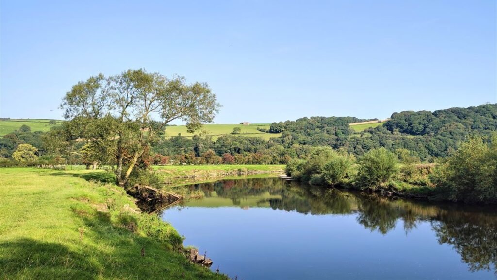
Just beyond the sheep pens, we have the river on our right, and essentially just walk along the riverbank for a good while, enjoying views of the river and the wildlife along the banks. The river soon bends round to the right, which feels odd – we know that Lancaster to the West is downhill, yet we see the river heading east, a direction which we intuitively associate with uphill. The laws of physics are not broken though, this is just one of many looping meanders that characterise the Lune – and as we have seen on other Bentham Footpath Group walks further up the river, the course of the flow has changed many times over centuries, creating the ox-bow lakes that we all remember from school Geography lessons.
The Lune confirms this by turning through 180 degrees taking us west toward the Waterworks bridge, the first of the bridges on today’s walk.
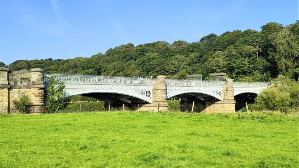
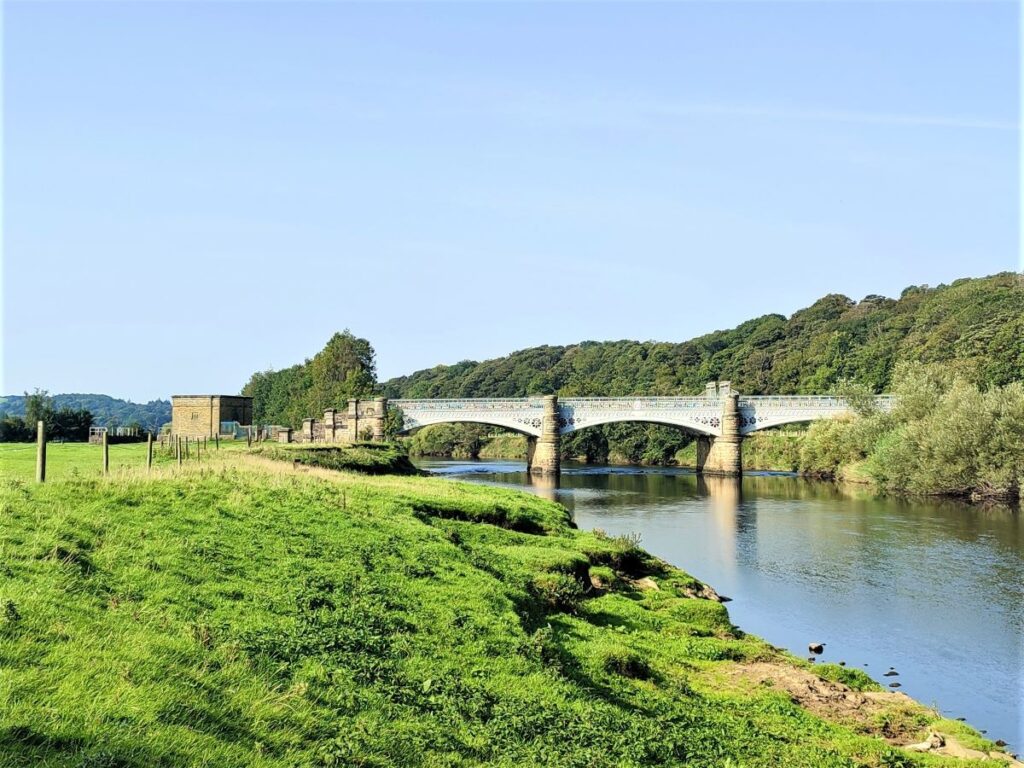
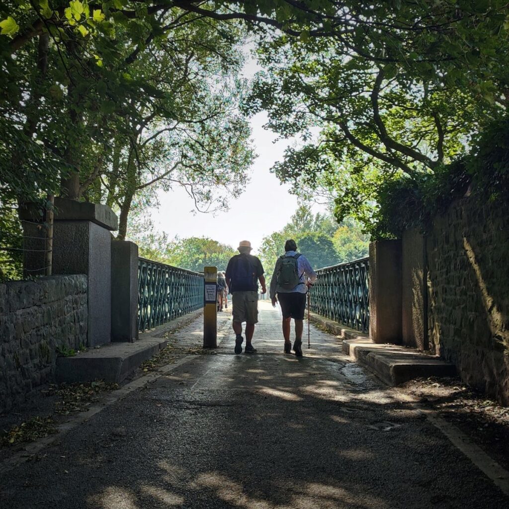
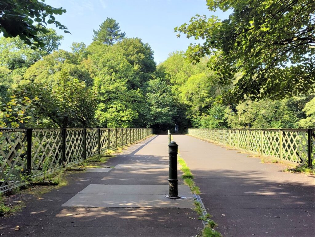
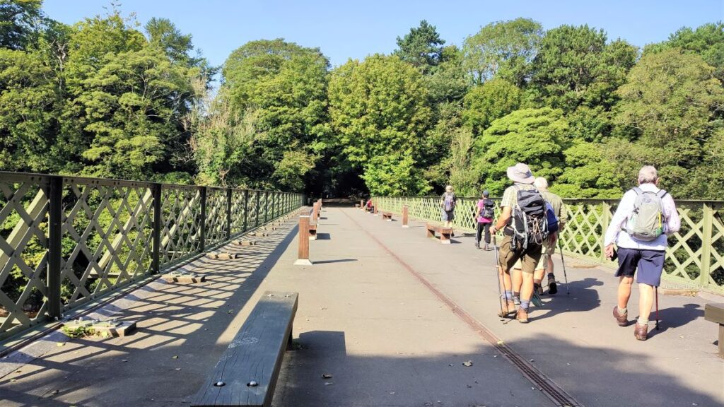
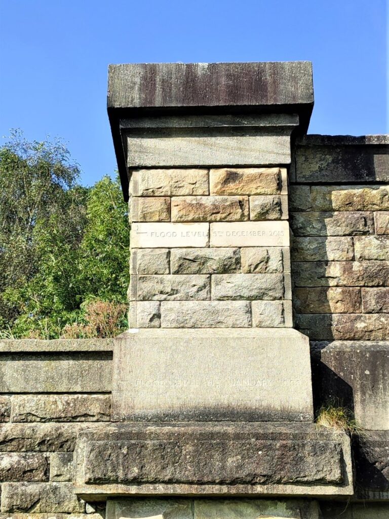
The Waterworks bridge is an impressive and rather beautiful structure, which despite looking a like a typical example of Victorian civic pride actually dates from 1906, when it was built to carry four water mains, part of the supply from Thirlmere in the Lake district to Manchester and other Northwest towns. The four pipes of 40,44,44, and 54 inch diameter carry up to 40 million gallons of water a day over the river Lune.
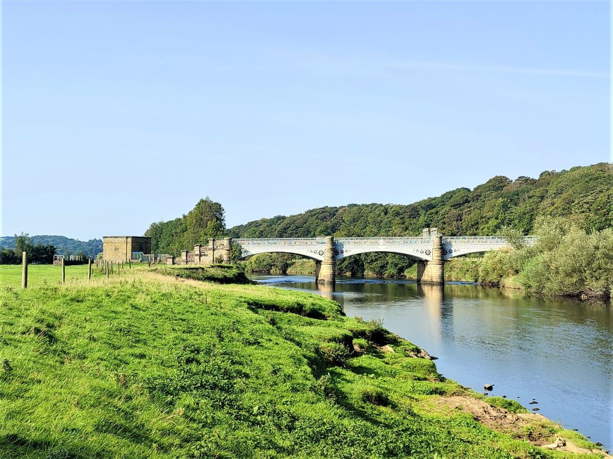

Importantly for walkers, the bridge has a pedestrian path making this one of the better places to cross the river. The bridge is not shown as a public right of way on the OS map but given that OS show a number of paths apparently crossing the river where there are no bridges, this is not too surprising.
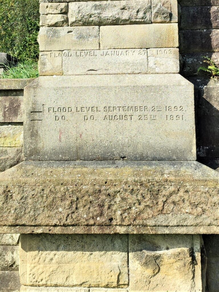
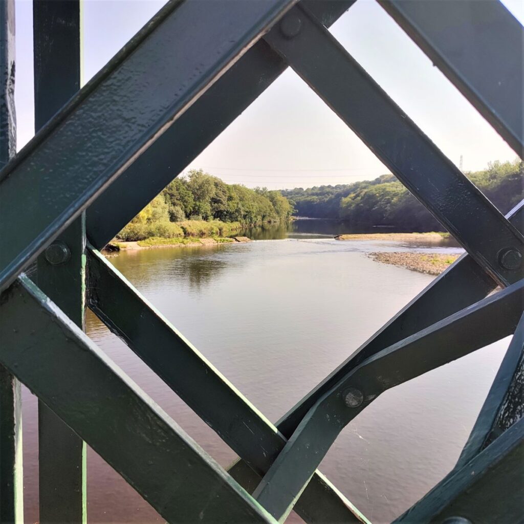
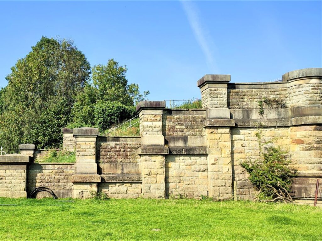
As we approach the bridge, we see a number of flood level markings carved into the stonework at the end of the steel spans. The most startling of which is the December 2015 line which is so high that it is hard to read from ground level – almost the entire bridge would have been submerged.
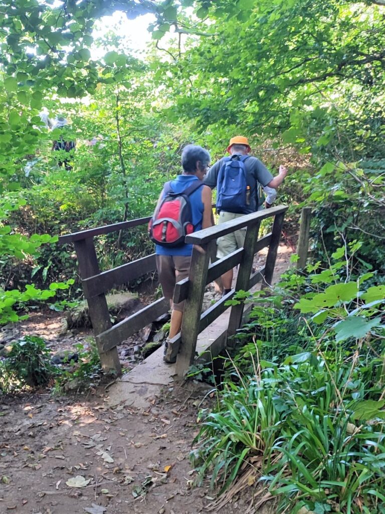
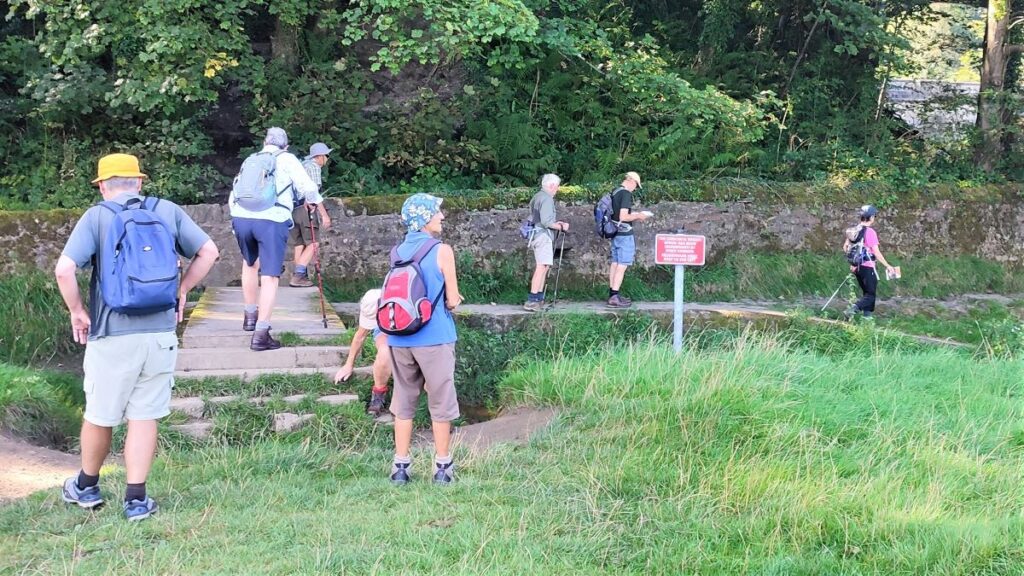
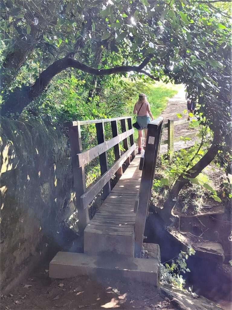
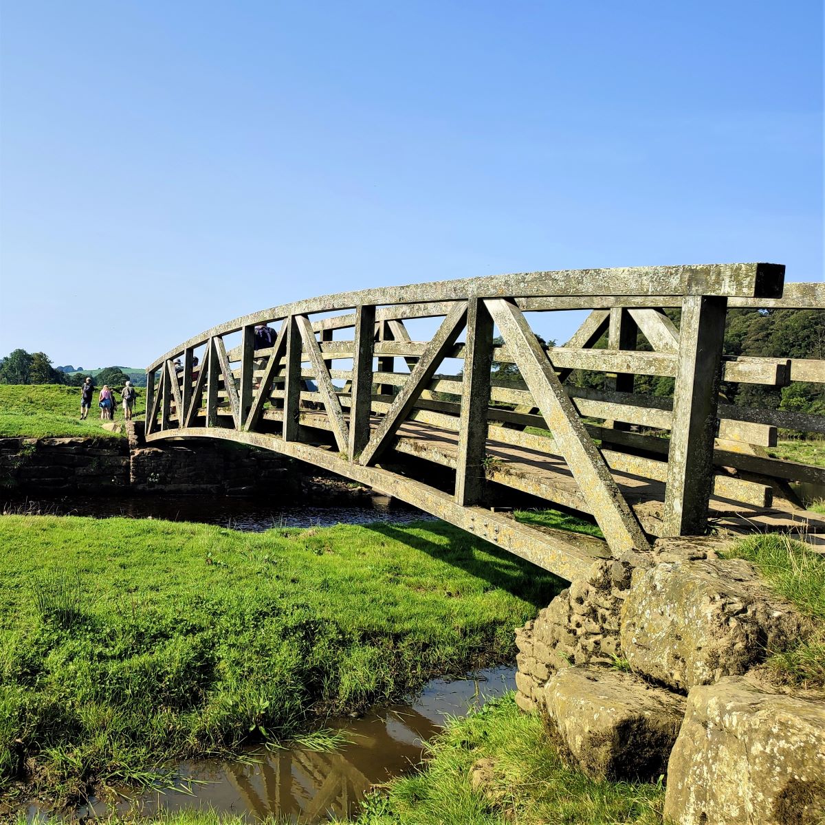
We press on downstream, staying by the side of the river, and soon see a wooden footbridge ahead of us. This crosses a small tributary of the Lune – Artle Beck, the river that runs through Caton. At the time of our walk, we were enjoying a dry spell of weather, so the flow here was small – as the size of the bridge suggests however, this is not always the case.
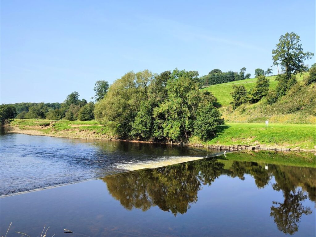
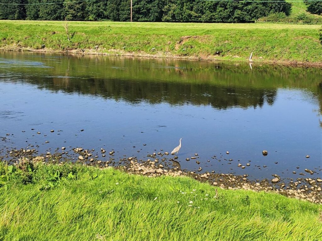
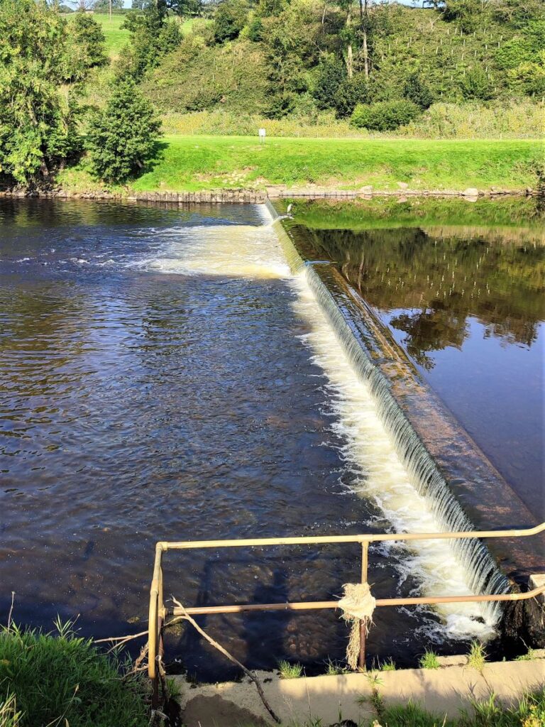
We continue downstream, passing a weir where Herons and Egrets will often be seen, and where Salmon can be seen leaping later in the year, before seeing two more major bridges coming into view.
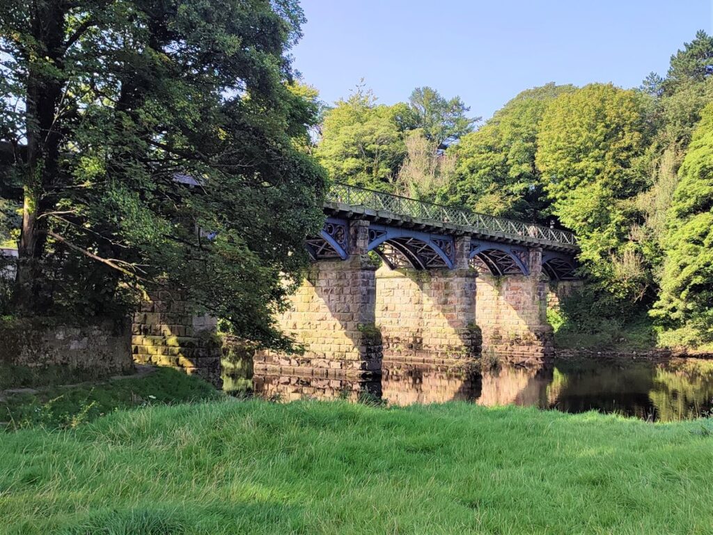
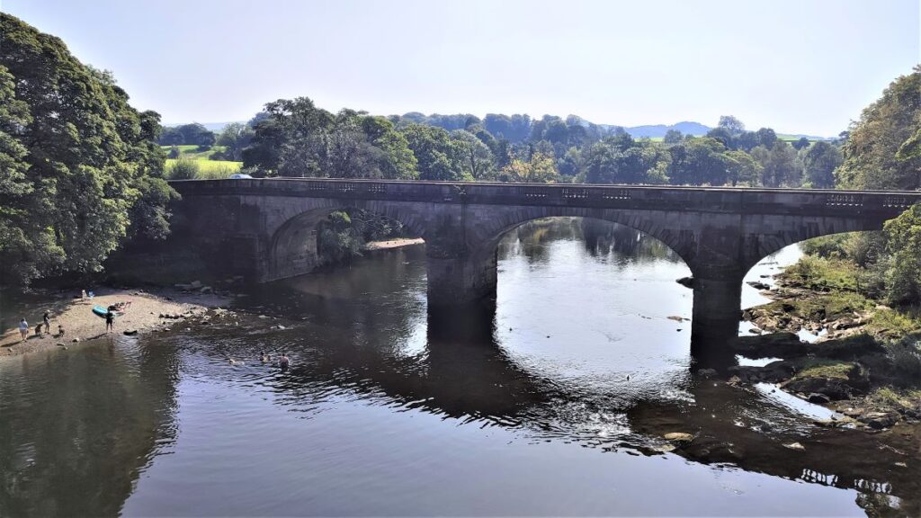
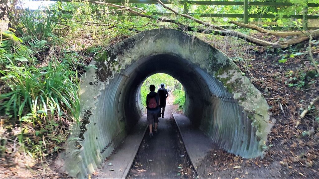
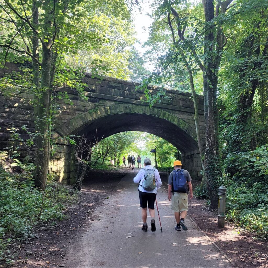
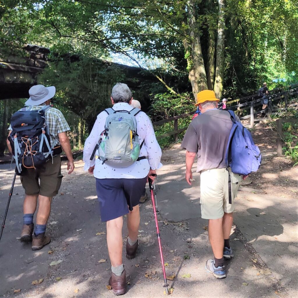
The first is the railway bridge that carried the railway toward Lancaster – as we saw earlier it’s now part of the Millennium Park path, and just downstream of that is the road bridge into Halton.
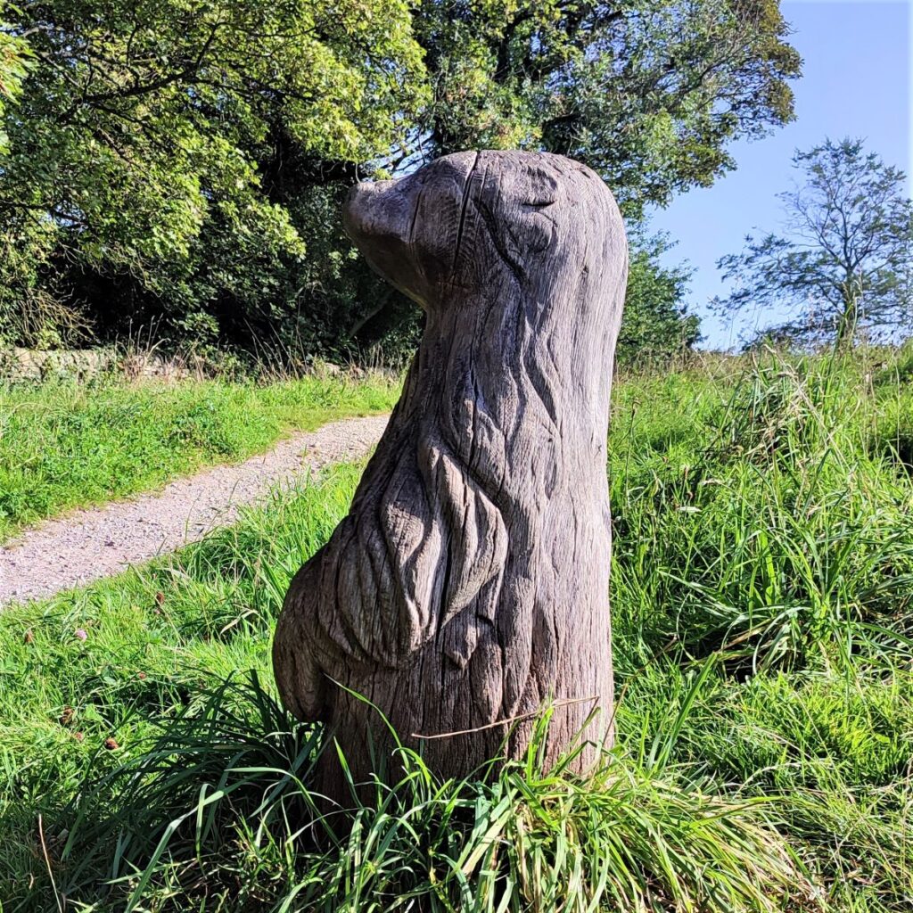
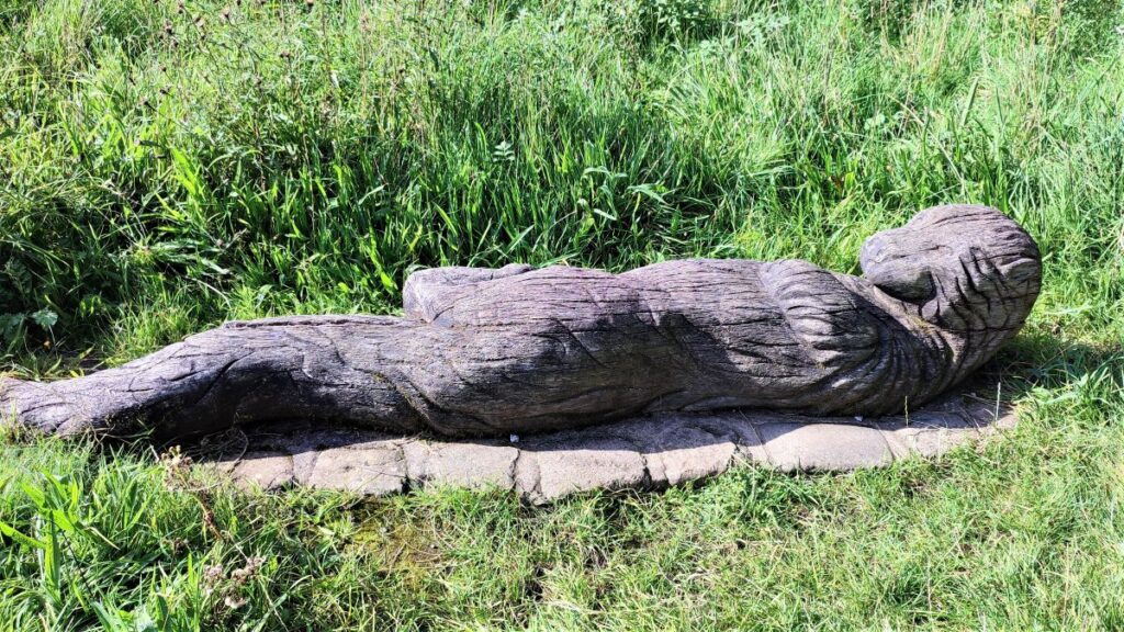
We walk under the railway bridge and then follow it up the far side to pick up the Millenium Park path across the river. On the right as we head back toward the old railbed we see an attractive picnic area which makes a good place to take a break – there are carved otter sculptures to enjoy here, and if the weather is nice, expect to see wild swimmers in the calm water between the two bridges.
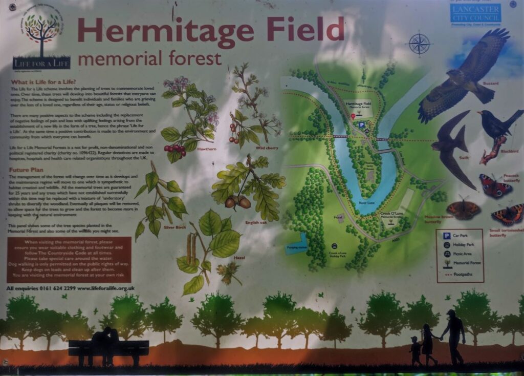
We cross the bridge, and on the far side we find a visitor car park and toilets. Not part of our walk, but worth coming back to explore is the Hermitage Field Community Meadow, an excellent local initiative to restore a 5.5 acre flower meadow and re-establish the diverse flora and fauna that would once have been much more common. Click here to find out more.
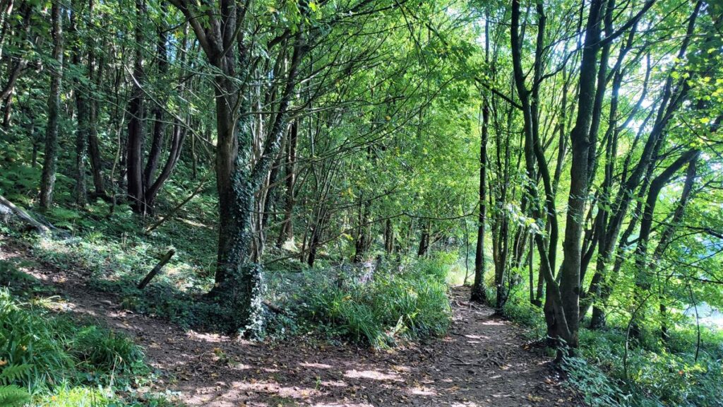
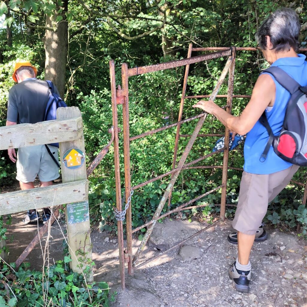
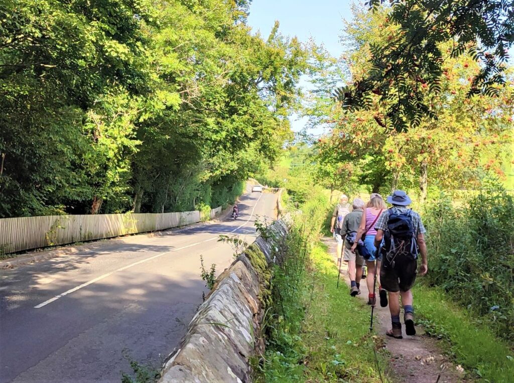
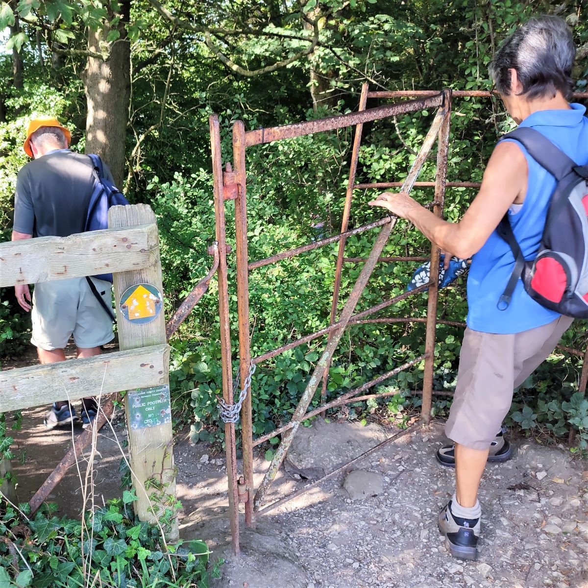
Our route now follows the road toward Halton – there is a pleasant walkway segregated from the traffic which is accessed by walking past the corner of the amenity block at the car park. We follow this for about 250m and then look for a small gate on the opposite side of the road – this takes us into woodland on the North side of the Lune – and we follow this path all the way to Halton Mills – via a wooden footbridge, for those intent on counting the bridges.
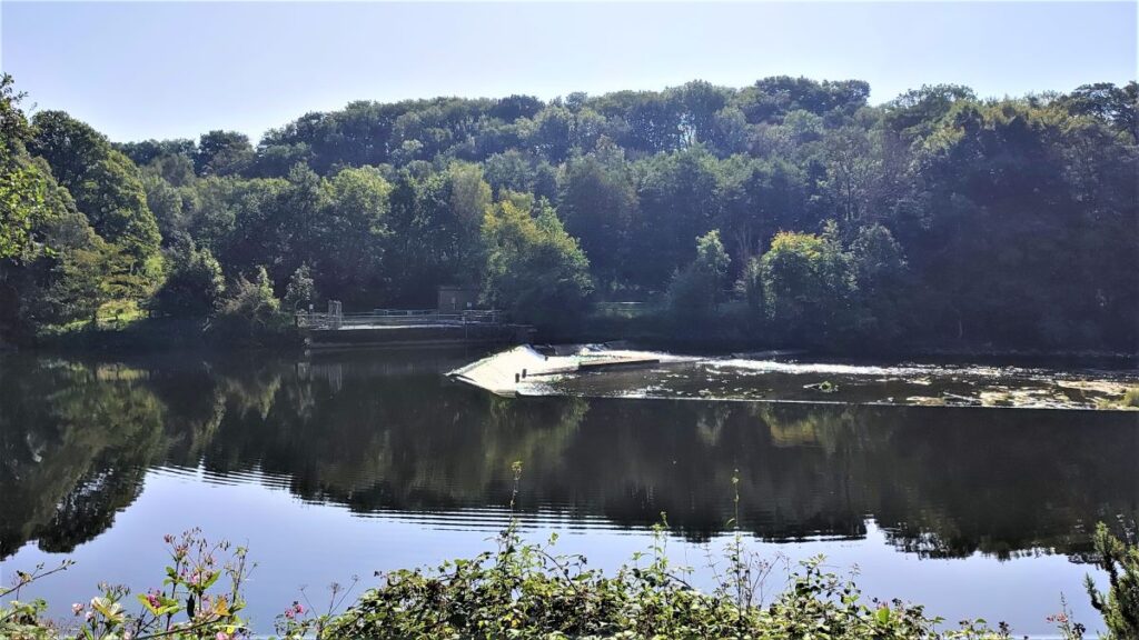
On the way down this path, we see a weir in the river – this maintains a level such that Mills at Halton Mill could once be powered. The Mills are now gone, but some of the infrastructure has been repurposed by Halton Lune Hydro (HLH) to create a community hydroelectric scheme capable of powering more than 300 homes with emissions free electricity. Click here to see lots of interesting information about the current scheme and the history of the old industries.
Our path ends at a quiet access road to a modern housing development – and we continue along the road for a while. It bears right and we then take a lane on the left with a pasture on our right, and housing on our left.

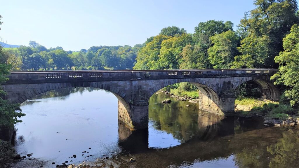
At the end of this lane we head left and find another bridge over the Lune. This was once a toll bridge serving Halton Station. It is now a free to use pedestrian bridge.
We cross here and at the far end turn left – back onto the Millennium way at the site of what was once Halton railway station.
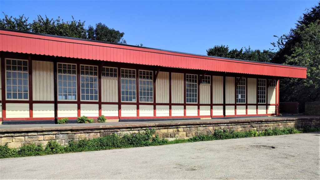
Halton station closed in 1966, but the station building and part of one platform remain and are now used by the rowing club of Lancaster University
The station was opened on 17th November 1849 by the “little” North Western Railway. It was linked to Halton village by a railway-owned narrow toll bridge across the river Lune.
The original timber station was destroyed by fire on 3rd April 1907, when a spark from the engine of a passing Heysham–St Pancras boat train set fire to a wagon full of oil drums adjacent to the goods shed. The fire brigade was unable to cross the narrow toll bridge and so a hastily arranged trainload of railway workers from Lancaster formed a chain gang to pass buckets of water from the river up to the station.

Perhaps not surprisingly, little remained after the fire was extinguished, and so the station was rebuilt in brick and timber – it is that newer building survives to this day.
From here, our return journey follows the Millennium Park path all the way back to Bull Beck, crossing the Lune twice. The first of these two bridge is not one we have used before – because we were previously in the woodland to the north of the river. The second is the one next to the picnic area with the otter sculptures, so that should feel familiar, and again this is a good place to take a break before the final mile back to Bull Beck.