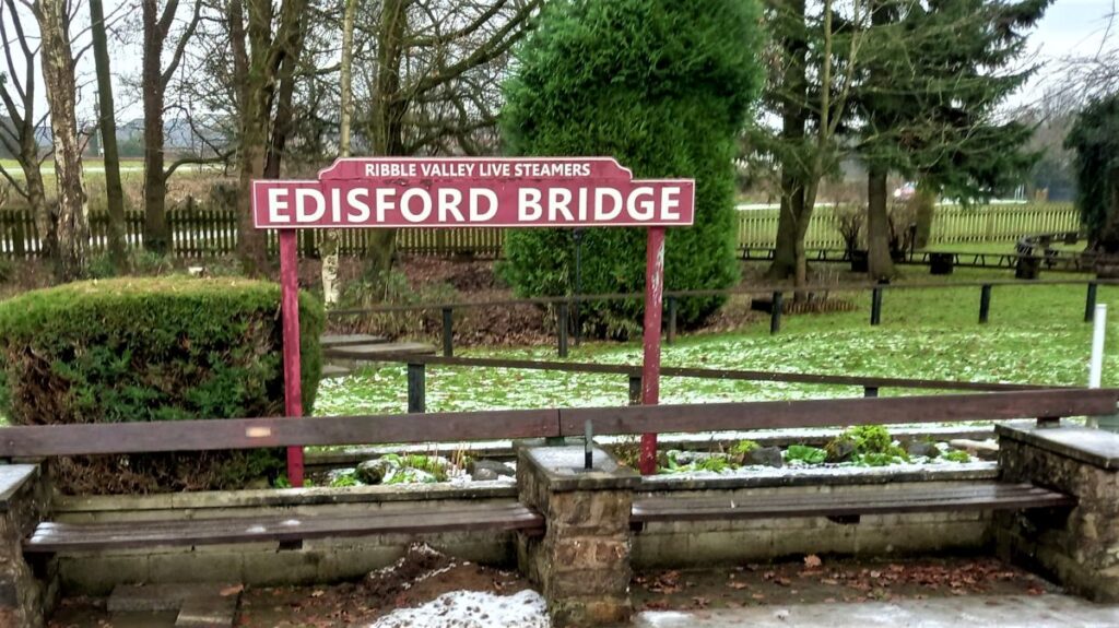
This easy riverside walk starts from Edisford Bridge in Clitheroe and follows the Ribble downstream, to Mitton Bridge, where we cross and return.
The route could easily be combined with a day out in Clitheroe – the castle and museum are well worth visiting.
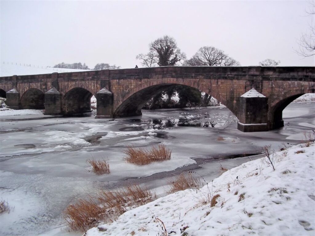
During the summer months, the bridge and the banks of the River Ribble are a magnet for families enjoying picnics; The Bentham Footpath group tackled the walk on a cold and icy winter’s day, so we had the place to ourselves.
We start at Edisford Bridge just outside Clitheroe town centre. This is on the B6243, in the Hurst Green / Longridge direction, to the Southwest of the town. On the way out of town, look for the Ribblesdale Swimming Pool and Edisford Sports complex on your right , and then take the sign for the car park opposite.
If you are using satnav to find the car park, then the postcode for the leisure centre should help – BB7 3LA. If you rely on paper maps then the grid reference is SD726414, and the What-3-Words tag is shred.grand.shame
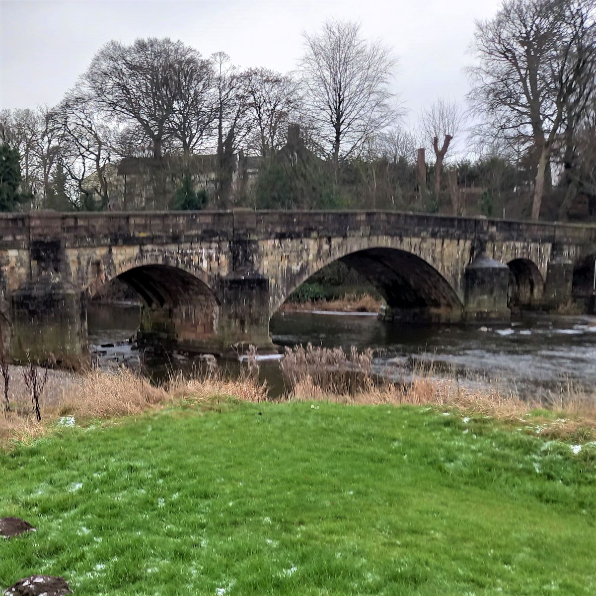
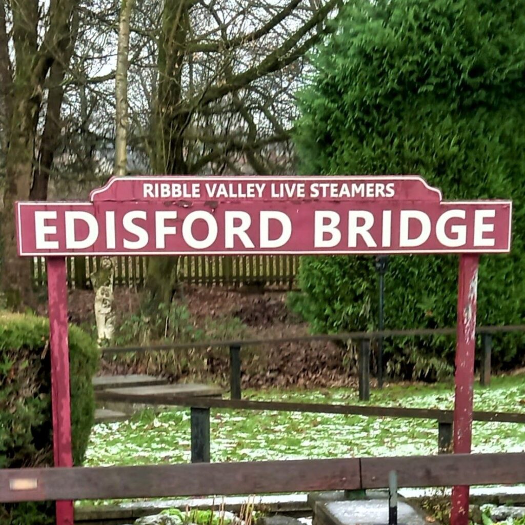
Given that the walk starts at Edisford Bridge, we should know a bit about it before we set off:
The site was of historical significance even before the bridge was built – in medieval times, safe crossing points for rivers were few and far between, so control of such sites gave an opportunity to control trade and to exert influence. We note that adjacent to the current bridge the Ribble is flat and shallow, and in most weather conditions can be forded here, so this has always been a recognised crossing point.
During the reign of King Stephen (1135 to 1154), Royal forces fought a series of battles against rival claimants to the English throne, principally Empress Matilda.
David I, King of Scotland, sided with Matilda who was his niece. – this was probably not just family loyalty though, he no doubt sensed that he would be able to expand his own kingdom further into England. To this end he sent his nephew William Fitzduncan with a small army to raid the Furness and Craven regions. William came via the Trough of Bowland and on arriving at Edisford fought successfully against Stephens’s forces on June 10th 1138. This skirmish became known as “The Battle of Clitheroe”. The victorious Scots pressed on to join the rest of their massed ranks in Northallerton. Here they fought the Battle of the Standard – a much larger conflict, and this time they lost to Stephen’s troops, so Clitheroe, and the wider region, reverted to English control.
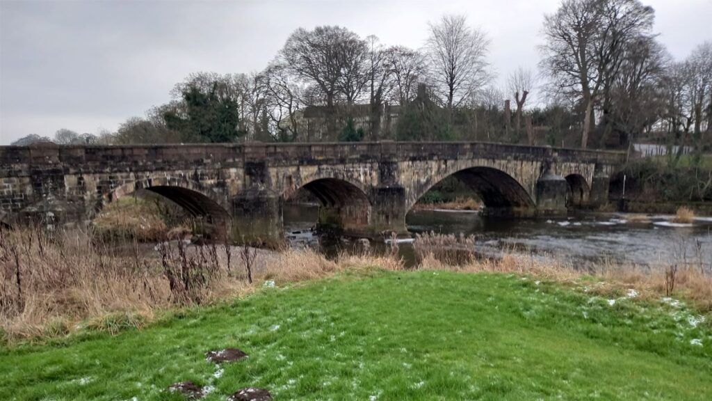
The original bridge was built somewhat later than this – in 1339 after a “Grant of Pontage” was issued. It was widened in the 1800s but still contains much of the original medieval elements, along with mason’s marks on the underside – and it is now a grade II listed structure.
Soon after the bridge was built it was severely damaged in floods, and so to fund repairs a toll system was set up. Archives show a complete list of goods that were subject to a levy. Items crossing the river were individually priced, some high, some low depending on their rarity value. Luxury goods like spices, wine, wax, honey and lead all carried a high tariff, whilst sheep and pigs were very cheap, in fact literally “ten a penny”.
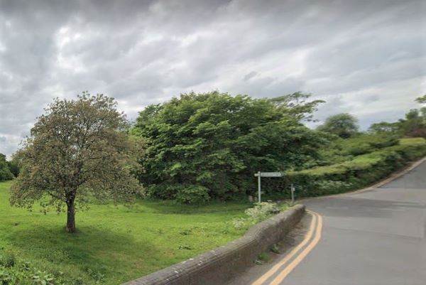
We start by crossing the bridge, and looking for a minor road on the right – signposted Slaidburn.
Our path is opposite this and we start by heading down toward the river, then on the right after 200 meters we take a stile and follow the hedge line.
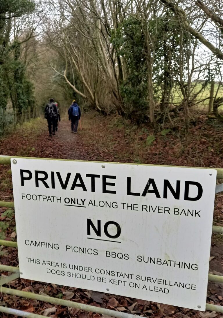
The first mile or so of the walk is a concessionary path courtesy of the landowner – although our return is on the Ribble Way, and therefore a public footpath. Please respect the landowner’s reasonable requests regarding access to this land.
As we follow the path along it leads up to a stile in the top corner of the field, and at this stile, we head left along a track into riverside woodland, eventually emerging through a gate at the other end.
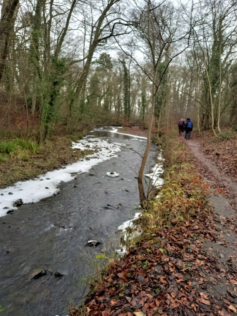
We are now on the riverbank and follow the Ribble downstream for a while, through a large pasture away from Clitheroe town centre.
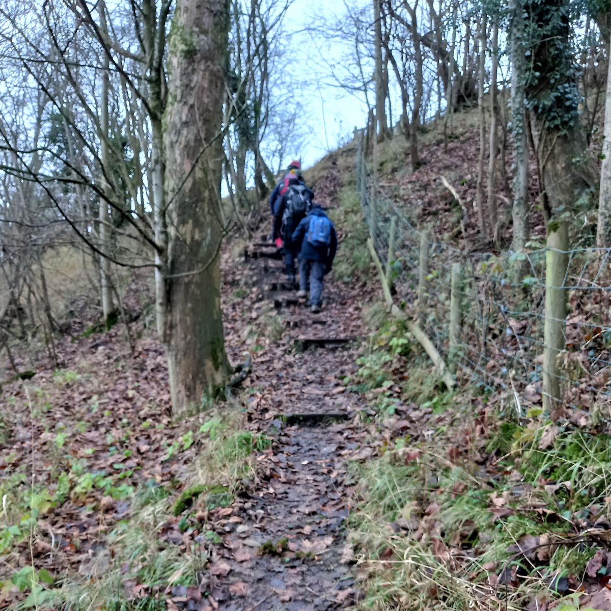
As the Ribble meanders to the right, we arrive at a stile and enter a well established woodland – part of Fulshaw Wood. Here find and a small path with steps which climb to a further stile.
At this point, and weather permitting, we have a great view of Longridge Fell.
We cross the field heading west, aiming to the right of the building ahead – which is a waterworks – where we find a stile that leads into a small enclosure.
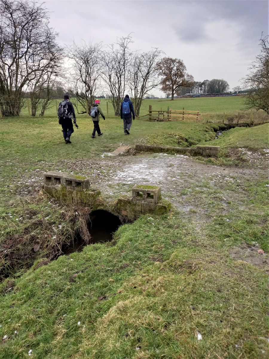
Beyond this is a gate which gives us access to a small track. Here we look for the way marker to Great Mitton to pick up a public footpath which heads South toward Church Lane at Great Mitton. This takes us over the stile and then along the left hand edge of a field where a further stile continues the footpath along the edge of a small stream.
The stream we are following merges with another at the corner of the field; The larger stream is Pig Hill Brook, but we continue following the smaller stream towards the edge of a patch of woodland. Before reaching the woods though, we come across a small footbridge where our path crosses the stream and then heads over to a stile.
This takes us into a large field, where we head steadily left to pick up the hedge line. We keep an eye open for a metal stile on left, which leads onto Malkin Lane, where we turn right and head toward the village of Great Mitton, which is now clearly visible.
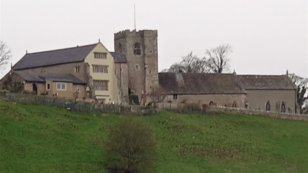
At the end of Malkin Lane, we find the slightly larger road of Church Lane where we turn left. The road soon veers right, and we follow it round to a junction by All Hallows Church, which dates from the 13th century.
Click here to see a well written history of the church.
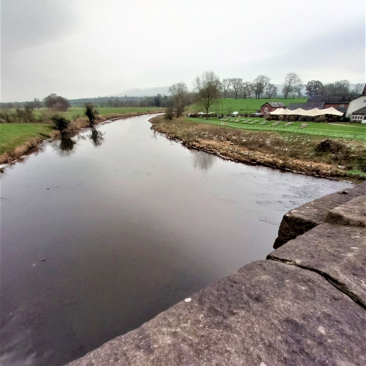
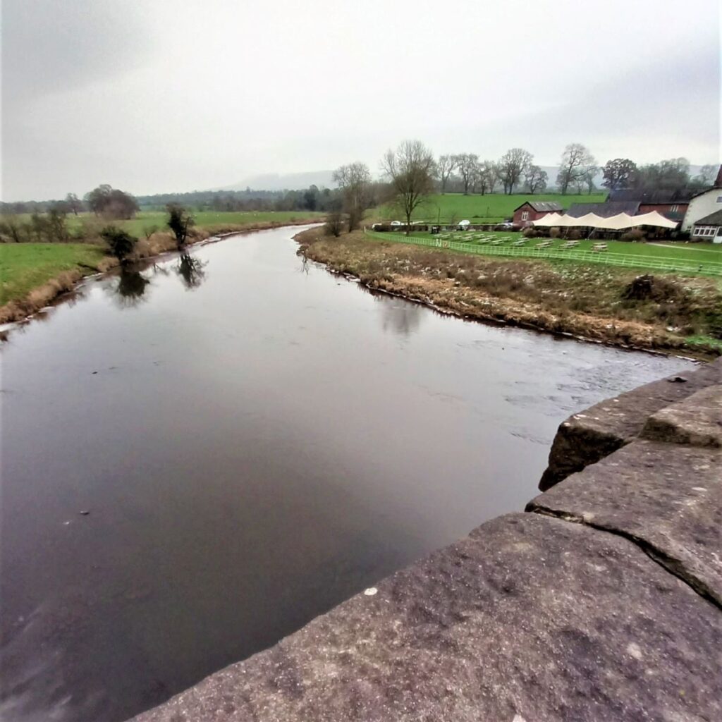
Just beyond the church is a road junction where we turn left to head down to the Mitton Bridge. Care needs to be taken here as this road can be busy and has no pavement.
After we cross the bridge we see the Aspinall Arms on our left, and just after the pub turn we head left through a signposted kissing gate to follow the river upstream. We are now on the Ribble Way, so navigation should always be clear.
The path follows the field edge to the far end, where we walk along the edge of a wooded bank above the river.
The Ribble way continues through another stile and then to a footbridge over a beck.
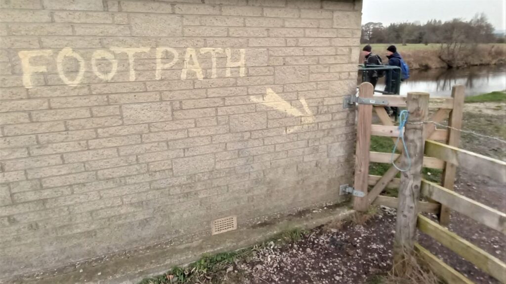
From here you are guided to the riverbank by the fence line, and we continue upstream along the Ribble way with enthusiastic hand painted signage making sure we know where the footpath is.
After the waterworks building, a grassy track continues passing an aqueduct where four large freshwater pipes bring water from Haweswater in the Lake District via Kirby Lonsdale and Low Bentham to feed Manchester via a reservoir at Heaton Park.
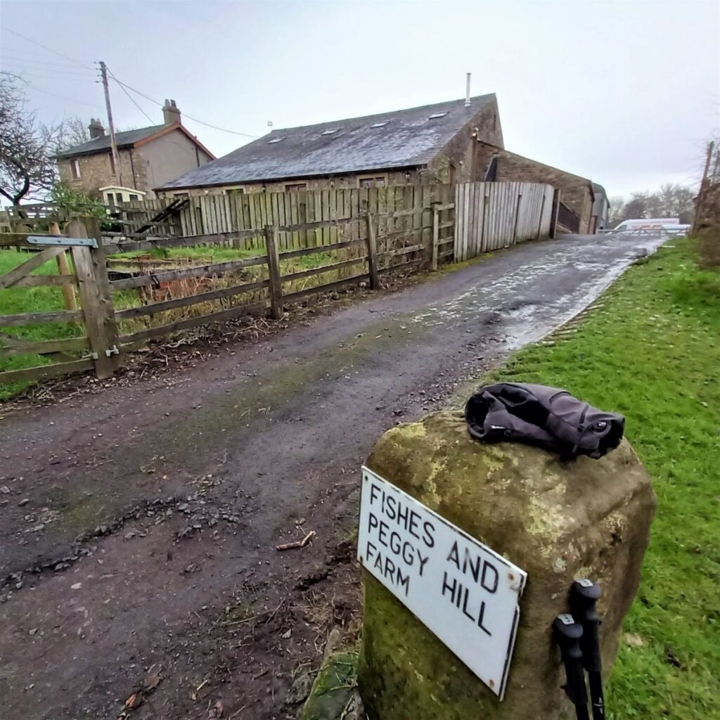
We continue upstream on a track leading to Shuttleworth Farm. Keeping the buildings on our right, as we follow the lane North to arrive at the curiously named Fishes and Peggy Hill Farm.
We continue upstream passing a well-screened recycling site before the river which has been on our left up to meanders away.
Rather than follow the river, the path now continues on a minor road straight ahead – this is Henthorn Road.
Our next landmark is Mill House on our right, and just past here, there is a path on the left that slips into the trees and follows a beck to escape the traffic for a short while.
The path re-joins the road at a stone arched bridge, just beyond which we turn left along the drive towards Siddows Farm.
After a short while we approach a fork in the track. The larger route to the right goes to the farm, but we head left and then take a gate on the left to follow the well maintained path around the field and then down to the river again.
The path along the river is clear and is followed upstream back to the car park, with the final part of the walk through the public park, passing a miniature railway.