Garsdale is one of the less-visited Dales in the Yorkshire Dales National Park, and that’s something of a shame, because it’s particularly attractive. It runs East / West between Baugh Fell to the North, and Rise Hill to the South.
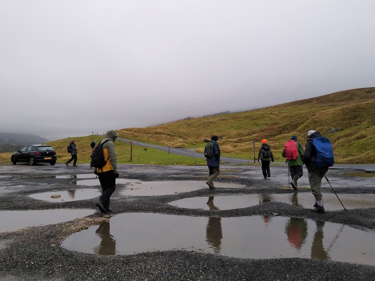
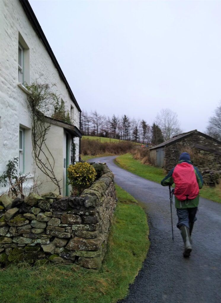
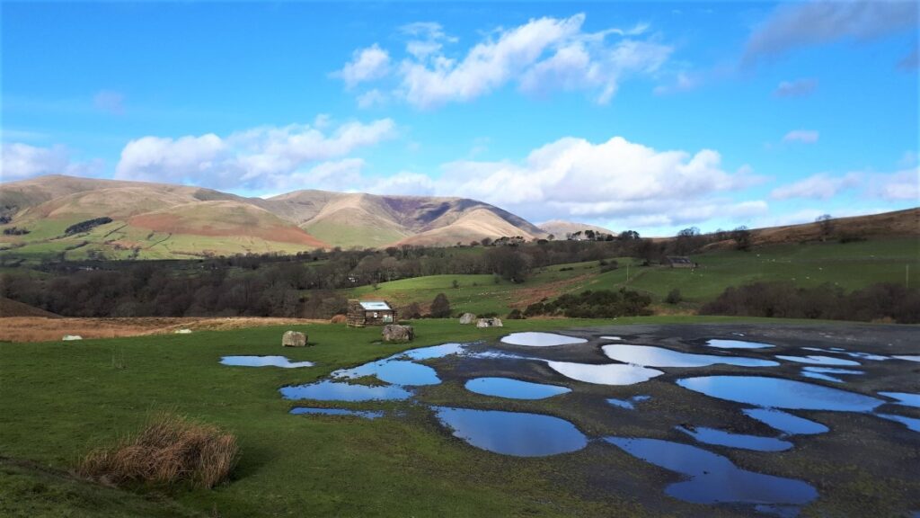
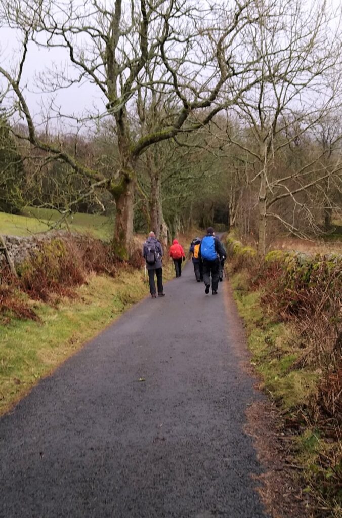
This walk starts at a large car park on the A684 with great views of the Howgills, and then heads up the dale on a gated country lane following the lower slopes of the imposing Baugh Fell.
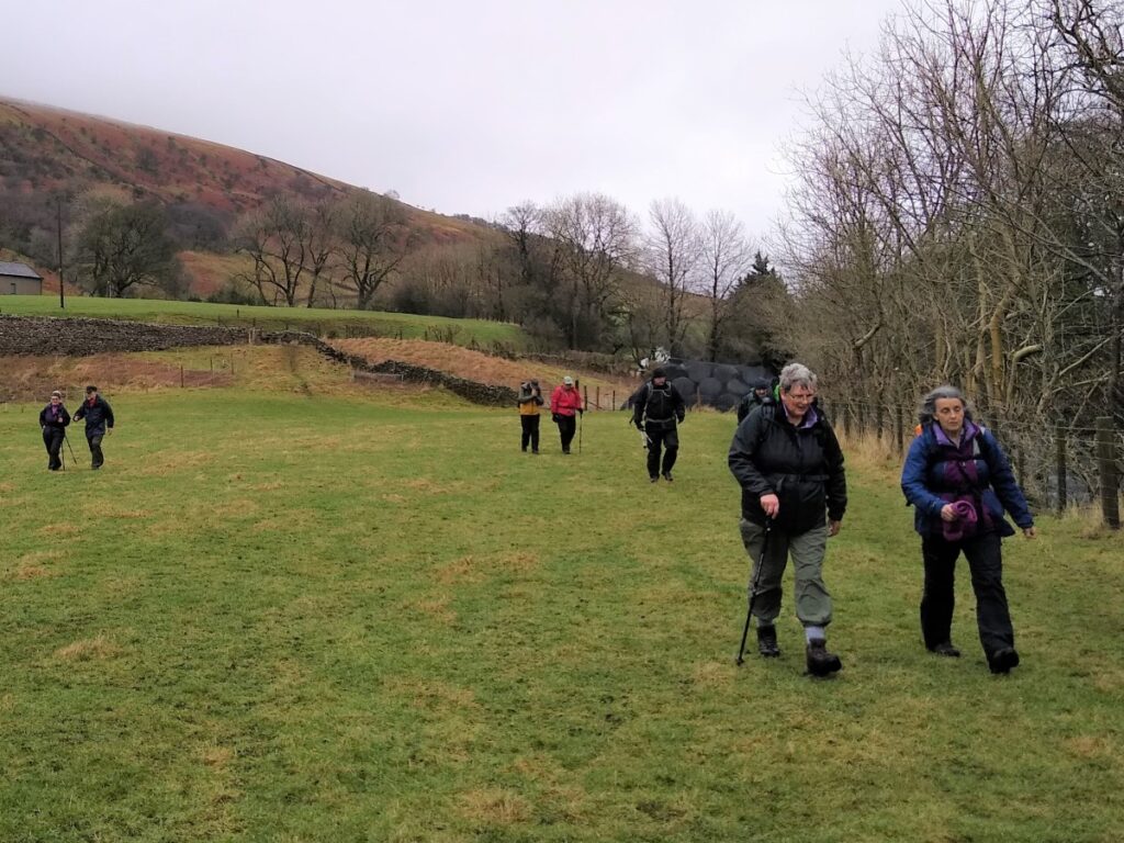
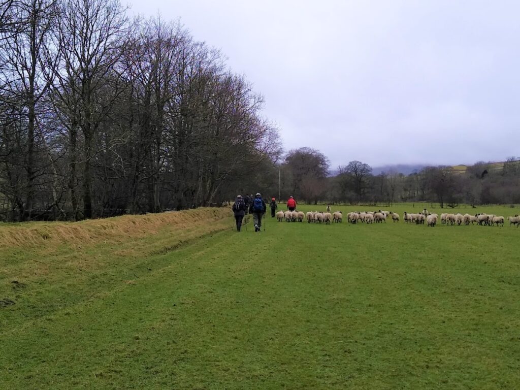
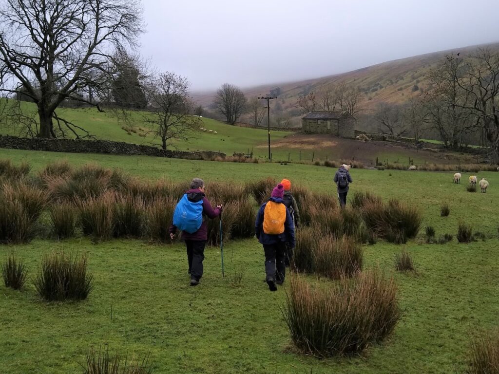
We soon leave the road and head over fields to Pike Hill, where the walk joins the A684 for a short distance. Visibility is good, and so although this is a major road, the route is safe. We then leave the road and press on across fields again before re-joining the A684 – again for a short and safe section – before starting our return journey through flattish meadows adjacent to the Clough River, with excellent views of Rise Hill which looms over us at all times.
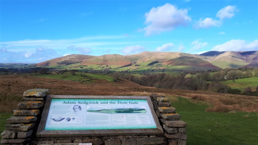
The path eventually turns sharp right and away from the river to pass through farms and re-join the small lane we started on. From here we return to the stone bridge over the river and pick up the Sedgwick Geological trail as a route back to the car park.
We start at a car park on the A684 between Sedbergh and Hawes. If you approach this from the Sedbergh side, it’s about 2.5 miles outside Sedbergh Town Centre perhaps ½ mile after the cattle grid where the road stops being enclosed. Grid reference SD694912, or What 3 Words square “coach.trifle.sharpened” will find it.
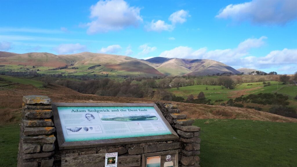
The location of the car park is selected to give an excellent view of the Howgills at Sedbergh and to give access to the Sedgwick Geological Trail.
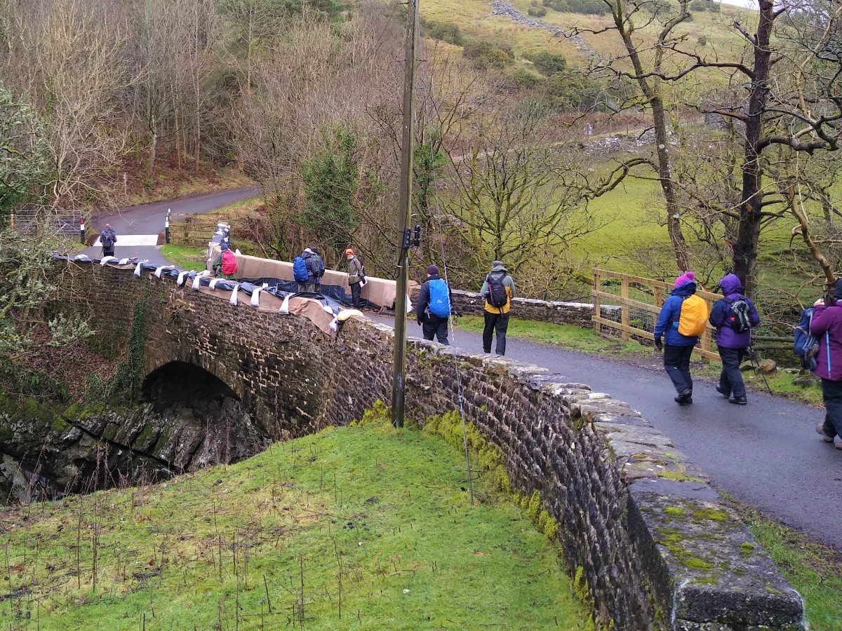
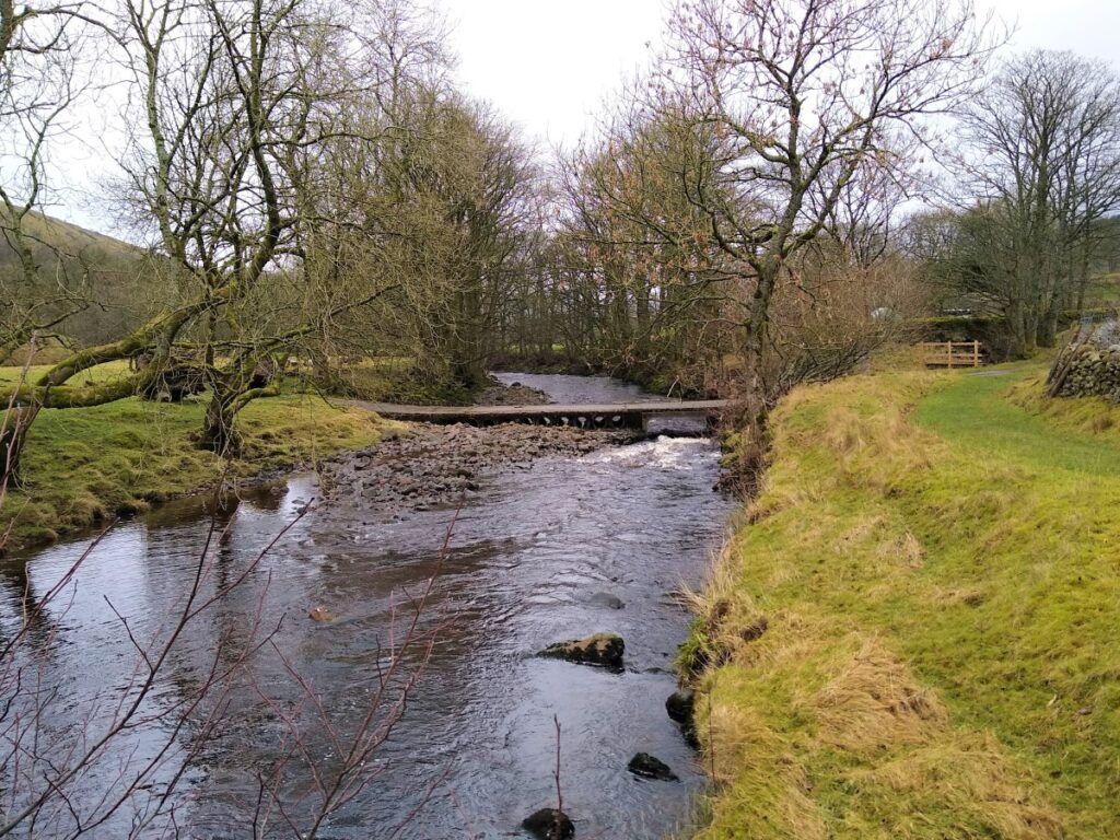
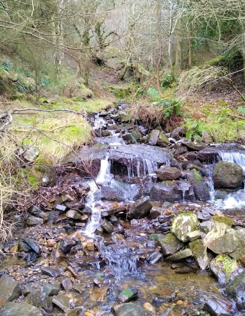
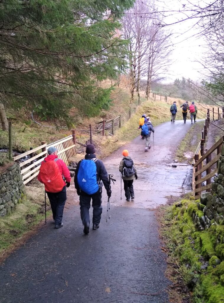
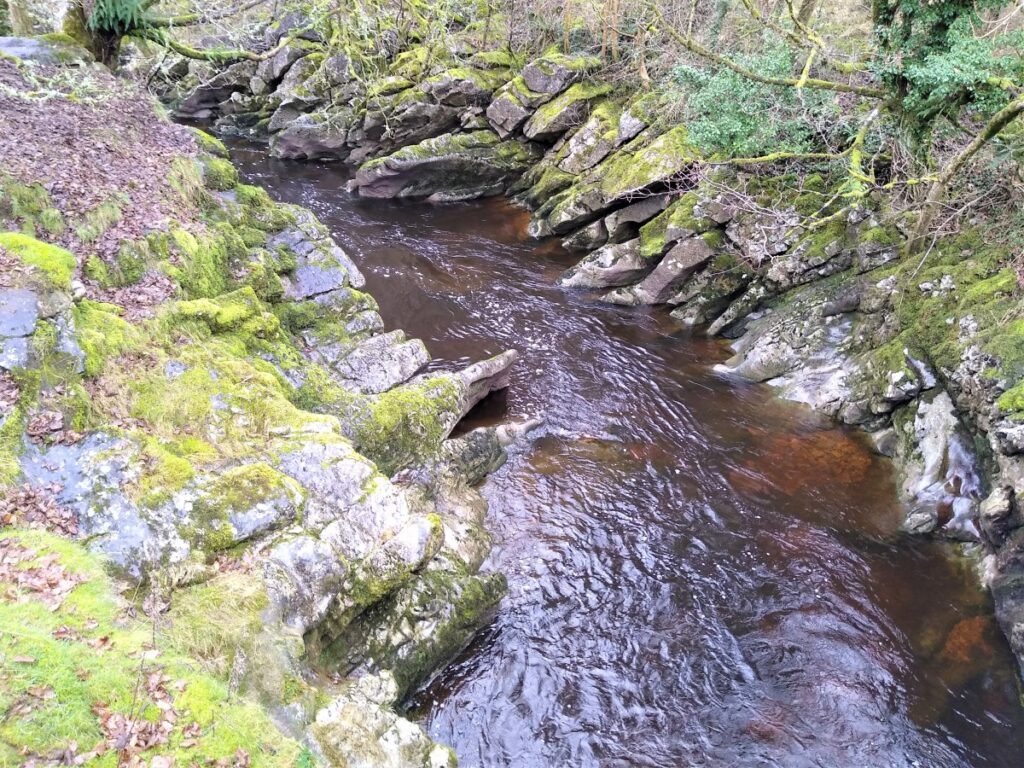
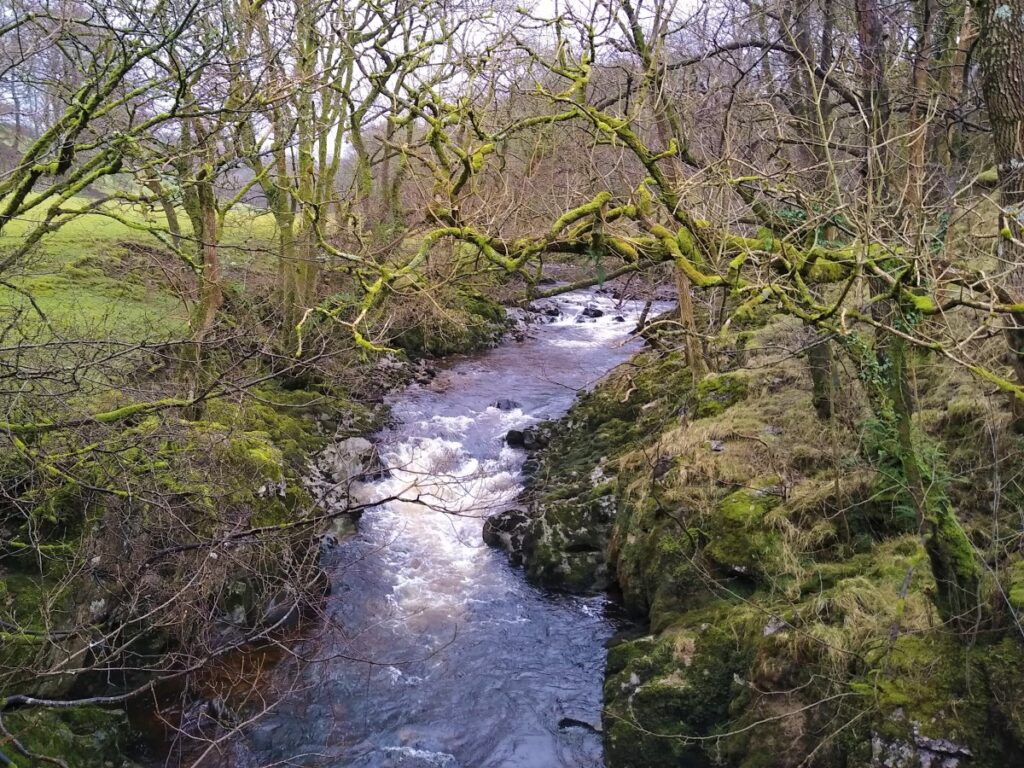
From the car park look along the A684 toward Hawes to see a country lane heading due East and downhill toward the bottom of the Dale. Follow this down to a stone bridge over the River Clough, which was, on the day of the BFG walk, undergoing some restoration works.
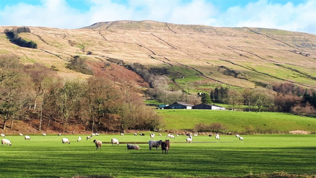
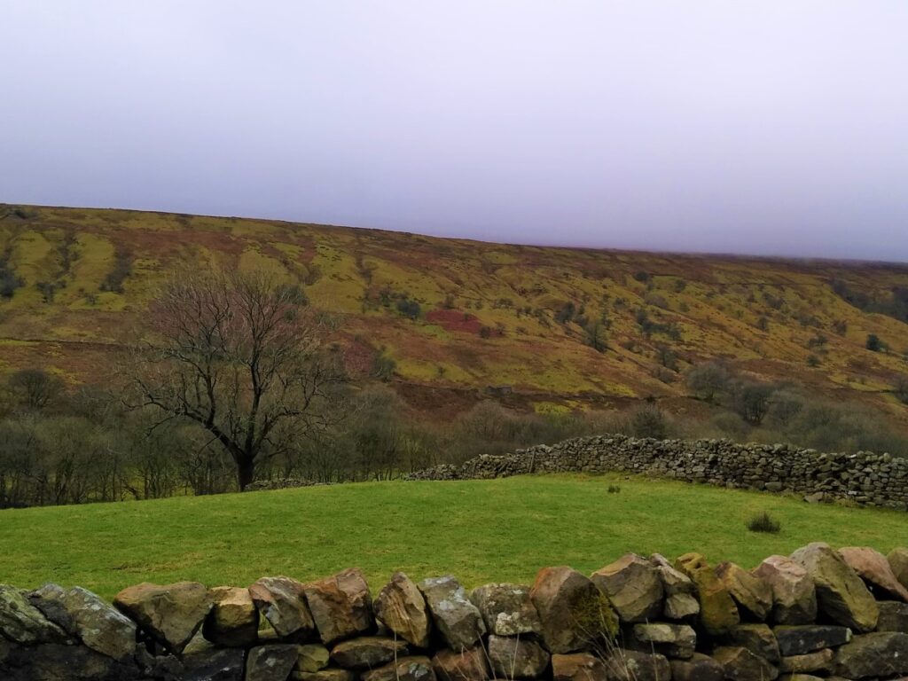
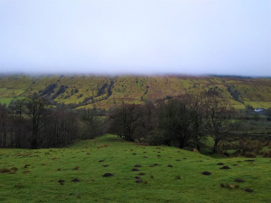
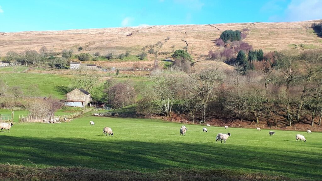
We follow this very quiet route for a while as it crosses the river and heads East along the bottom of the valley with East Baugh Fell on our left, and Rise Hill on our right. If visibility is good, these are both very impressive, though on a misty January day you may need to imagine what the tops would look like.
Walking under low cloud as we did gives an interesting illusion that hills may rise for ever, so even on the dullest day there is something to see.
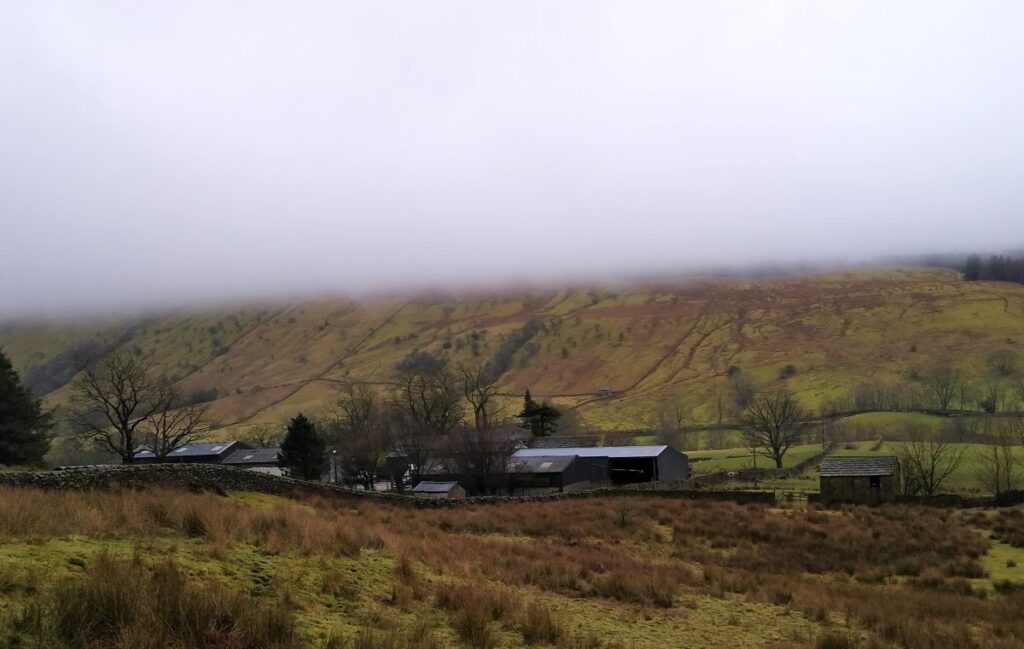
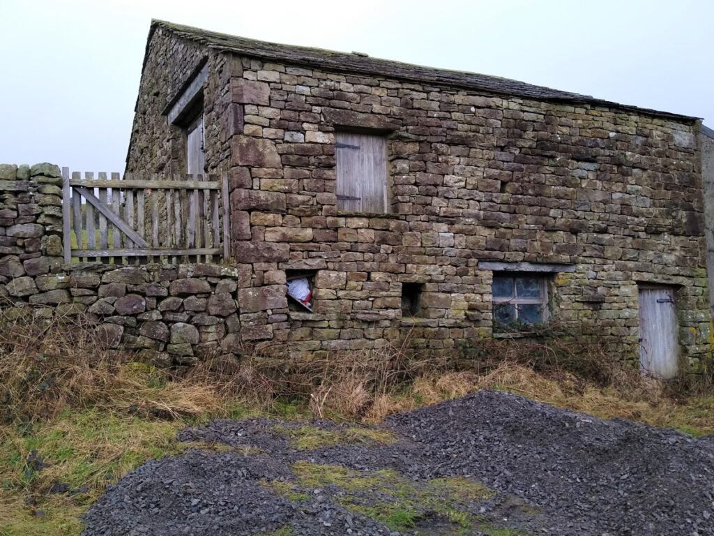
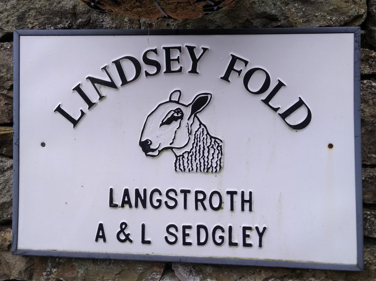
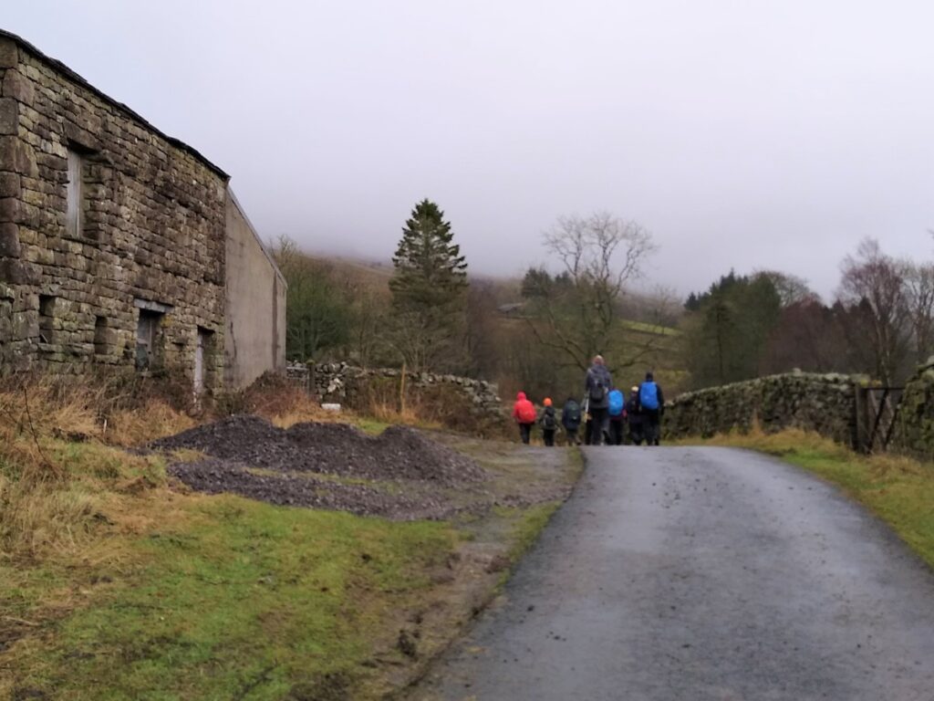
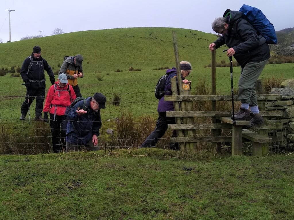
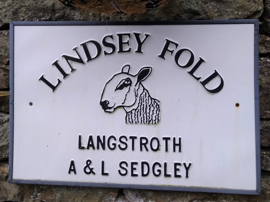
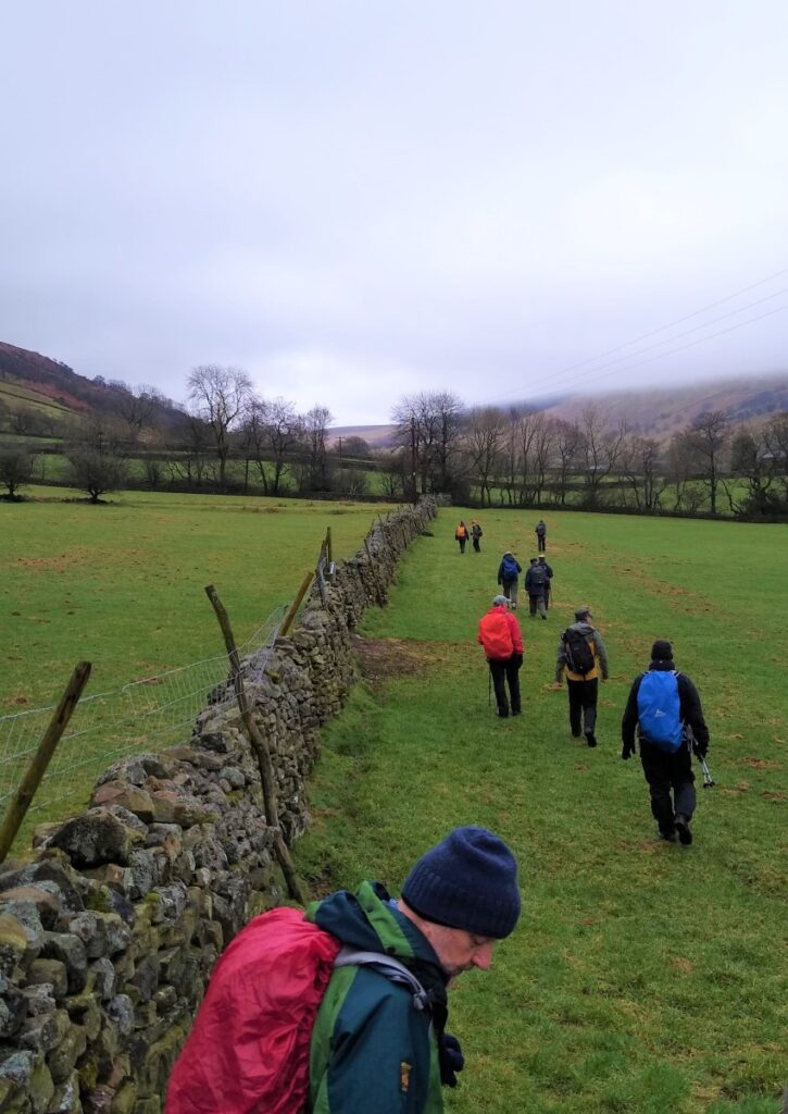
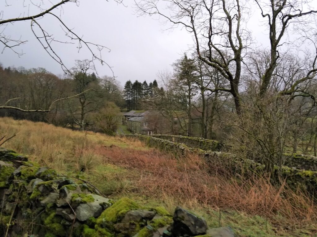
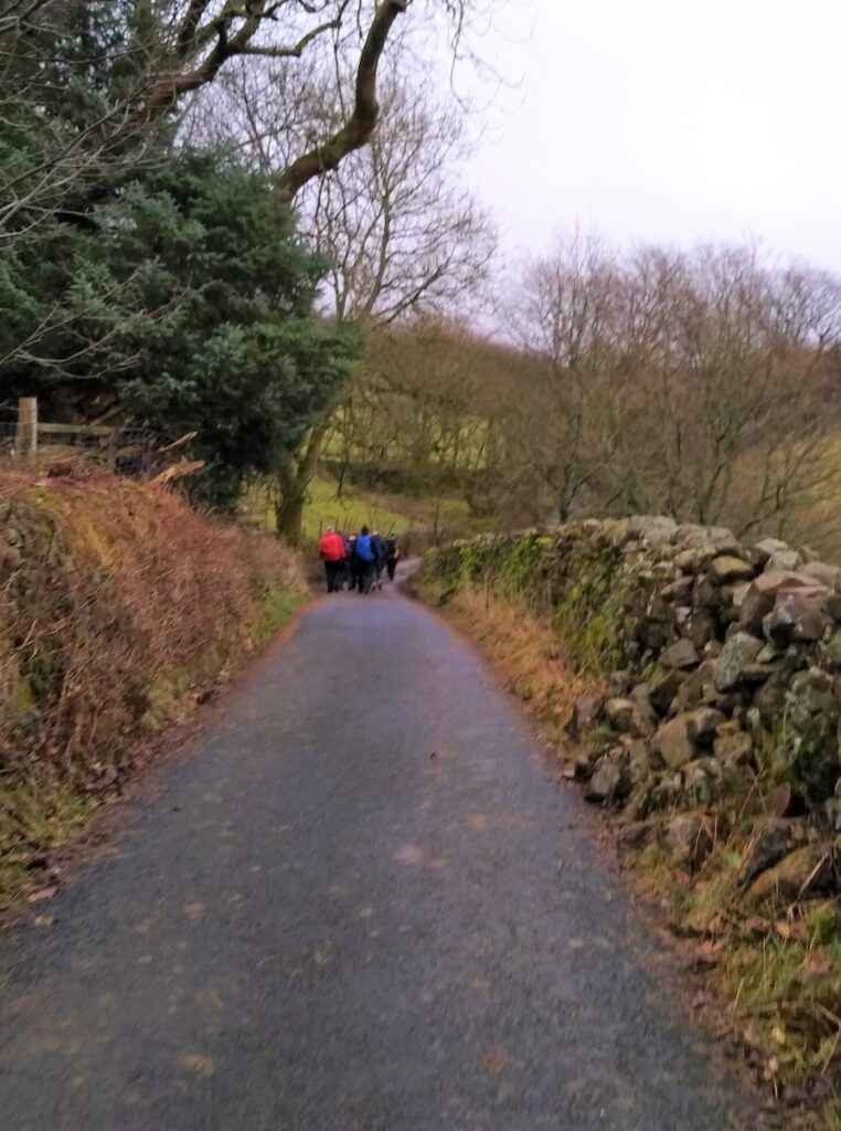
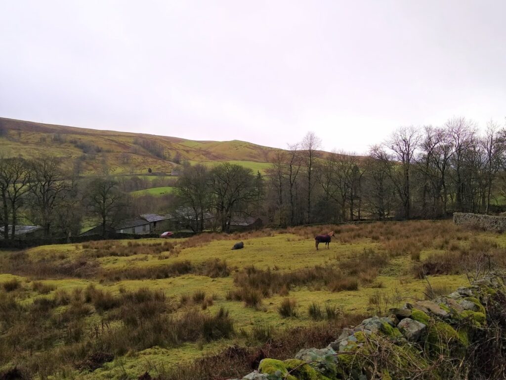
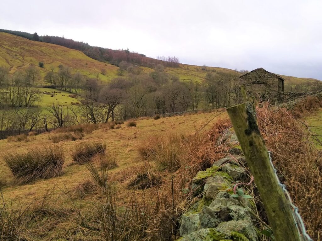
We pass a number of atmospheric farm buildings on the left hand side of the road, before we pass a track on the right leading down to Hole House – this is where we return much later in the walk. For now though, we continue along the road, to cross a ford (which may not be apparent in dry weather) until we arrive at a sharp left turn at Lindsey Fold.
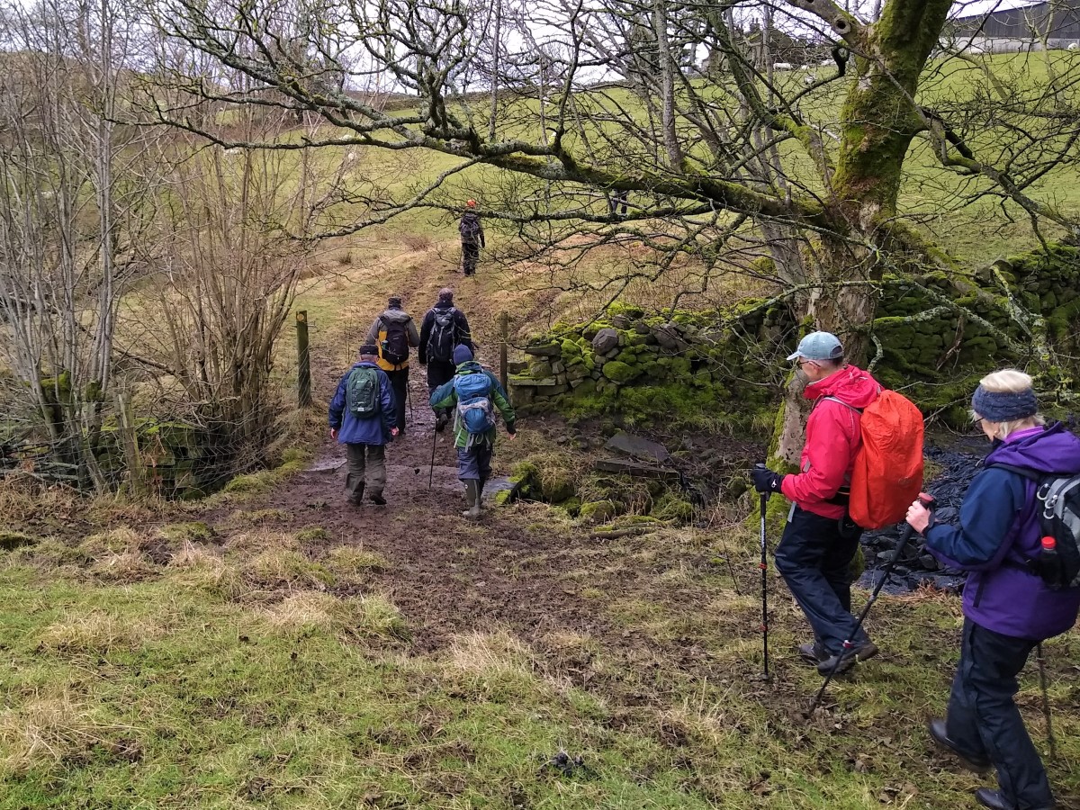
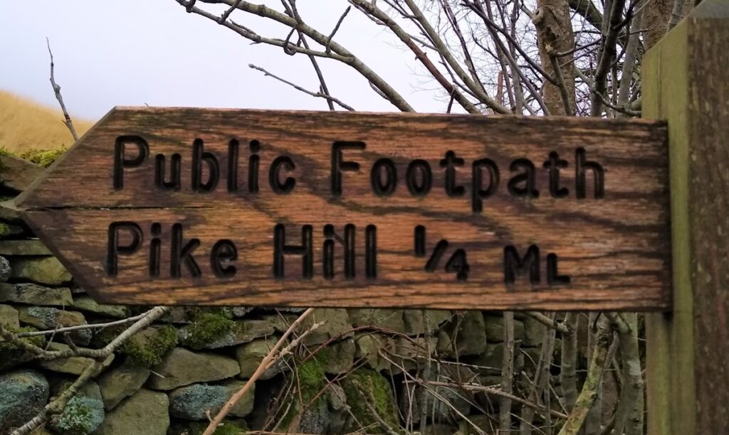
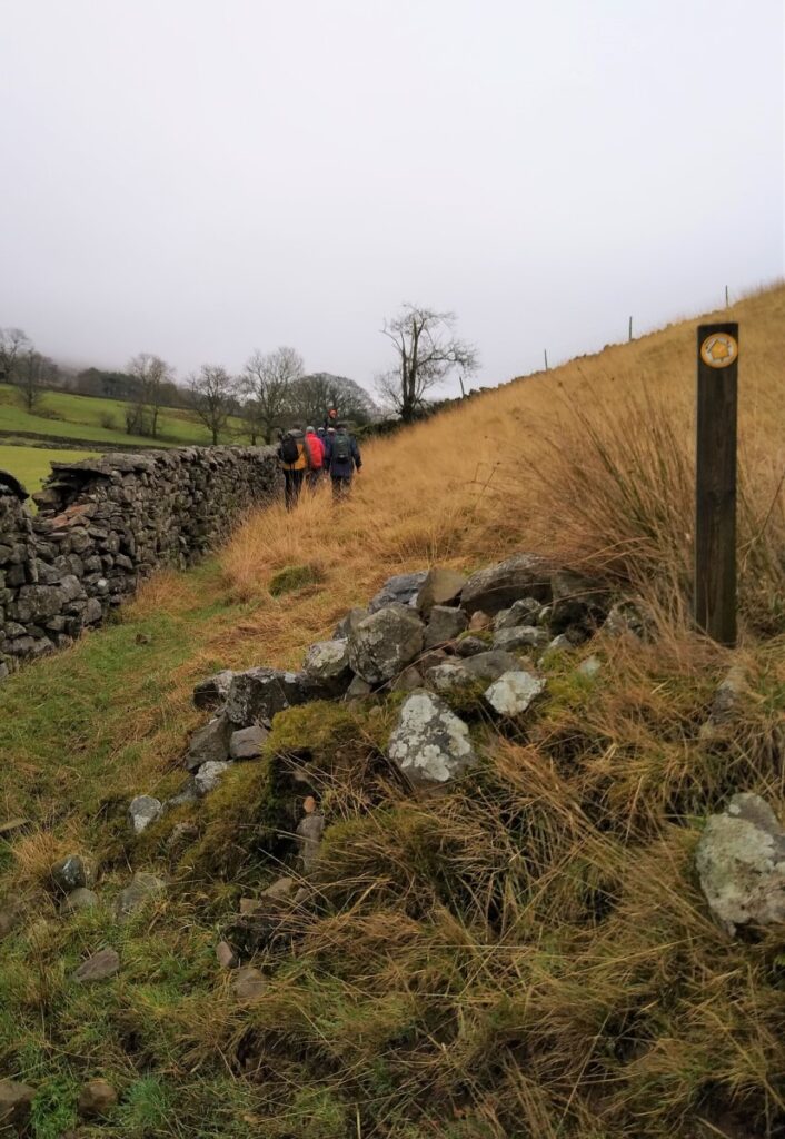
From here we walk past the front of the farmhouse and continue along the lane until we see a fingerpost for the footpath to Pike Hill, where we leave the road, following the farm track to the left for a short while before heading across the fields. We now follow a drystone wall which follows the contours, making the walk pleasantly gentle.
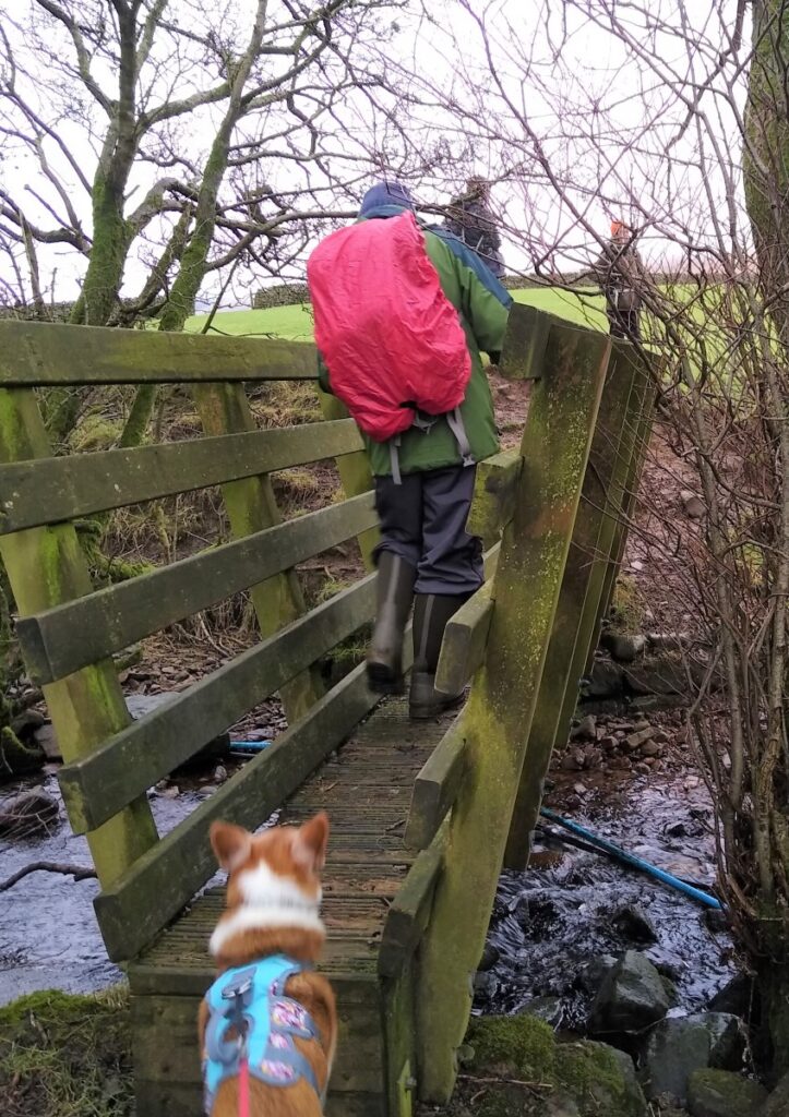
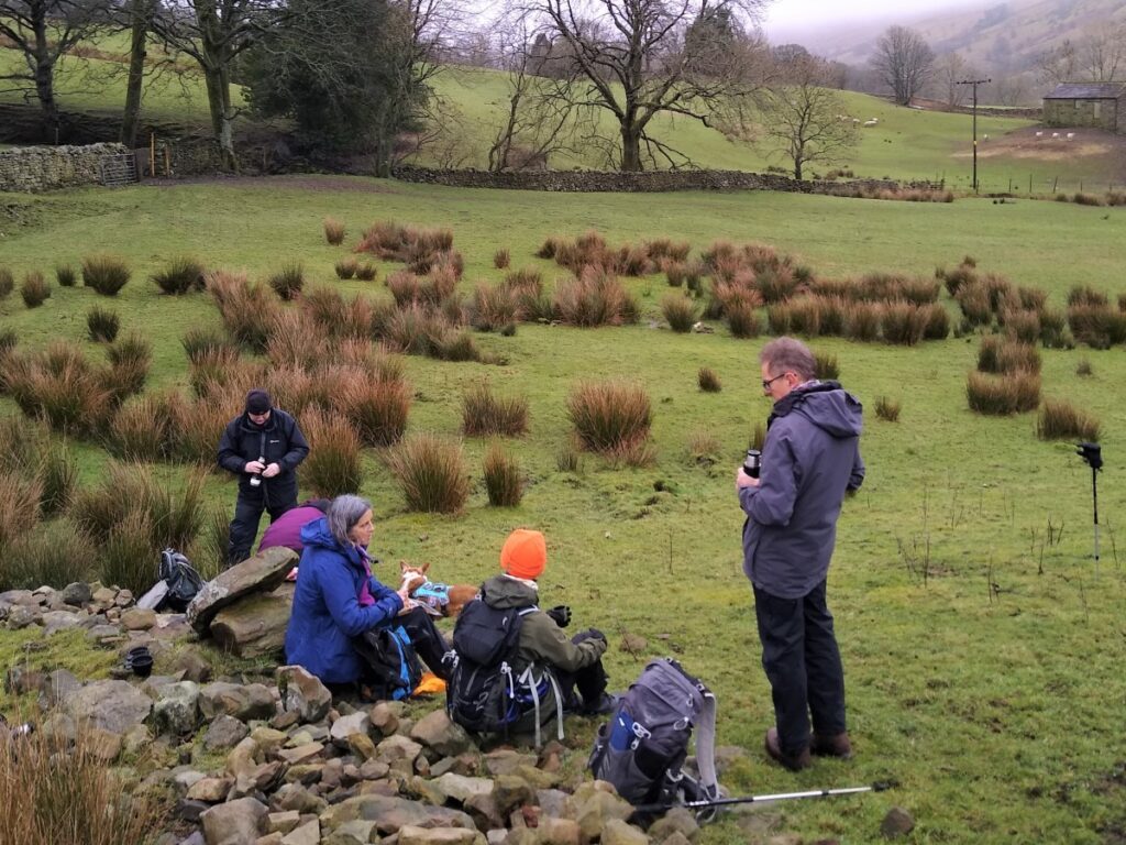
We soon reach more open land, which provides a good opportunity for a coffee break, before we head across the field to a small wooden bridge over a beck and on to a well-surfaced lane where we turn right , following the track down to the A684 at Pike Hill.
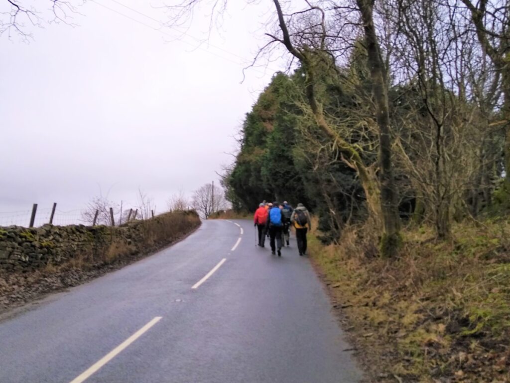
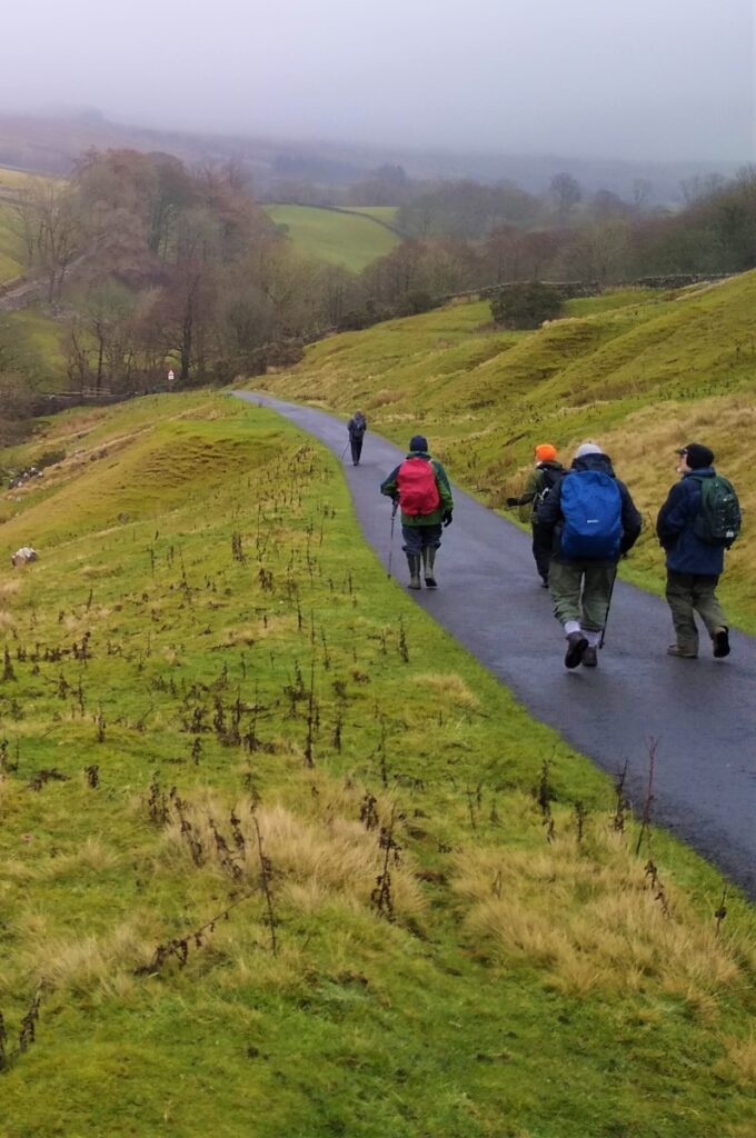
Here we turn left and follow the A684 toward Hawes (i.e. heading South East). Despite being classified as an A Road, the route is not too busy, and the section we are using here has good visibility, so safety should not be an issue, although care is obviously required.
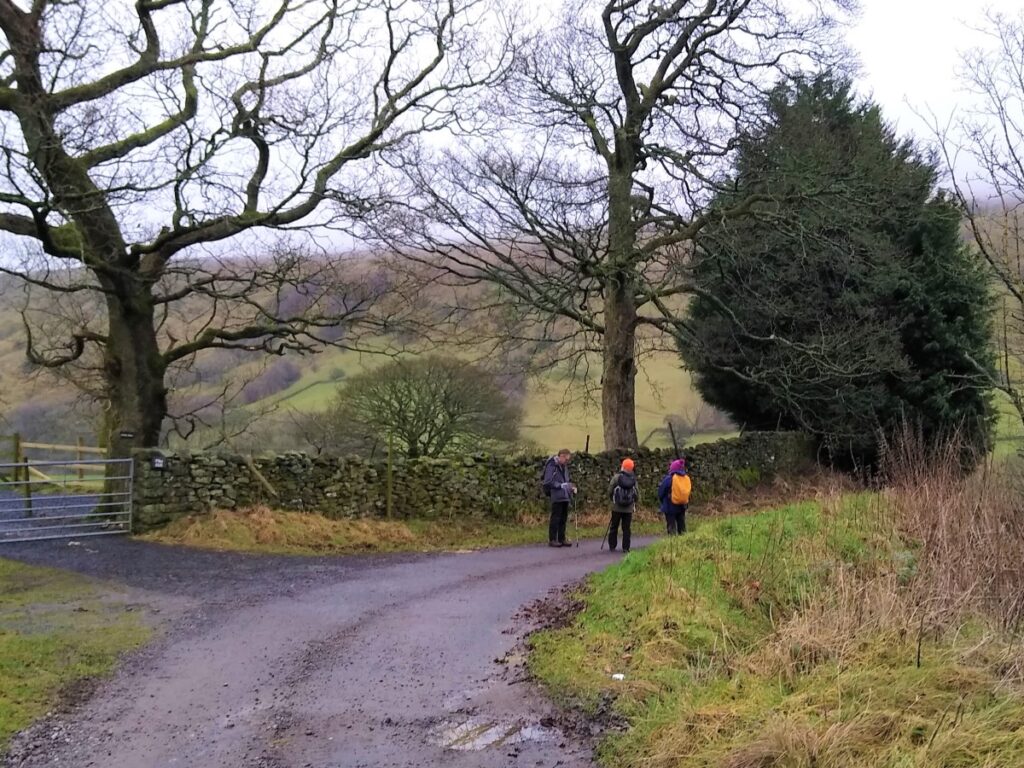
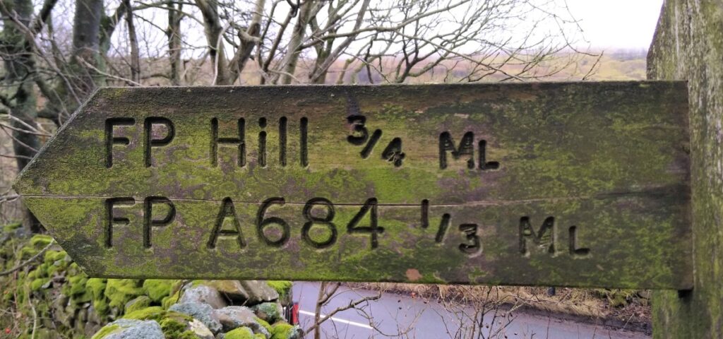
Our next landmark is a fingerpost on the left hand side of the road indicating the footpath to Hill and A684 – Hill being the name of a farmstead further along the A684, rather than a topographical feature.
The path soon crosses a track heading North – we continue across, but it’s worth noting that the track Northbound is also a right of way, which at the expense of some climbing and a slightly longer route could be incorporated into this walk.
We continue across flat fields to a small footbridge over Swarth Gill, and back down to the A684 once again, where we head left toward Hawes again.
The road section is again short, with good visibility, and so safe – but remember this is a major route so take care at all times.
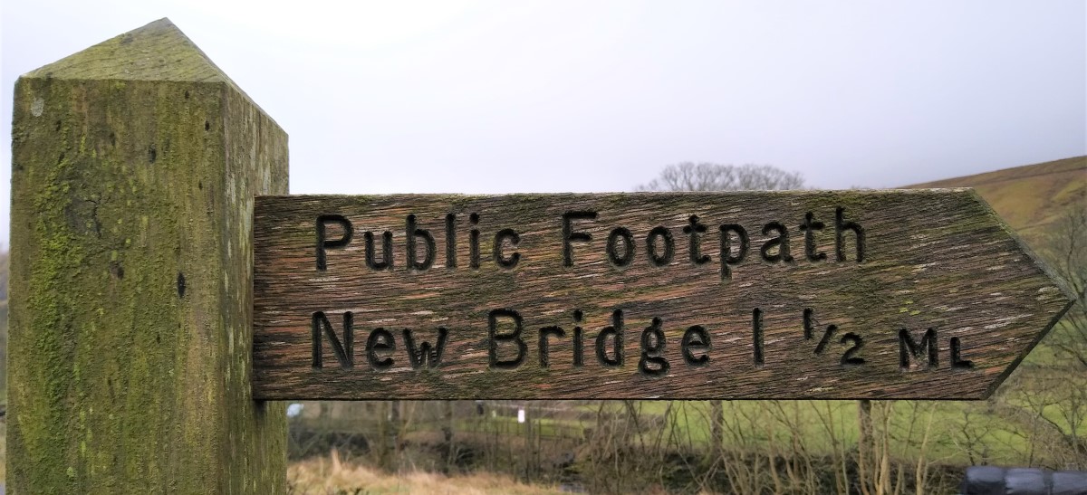
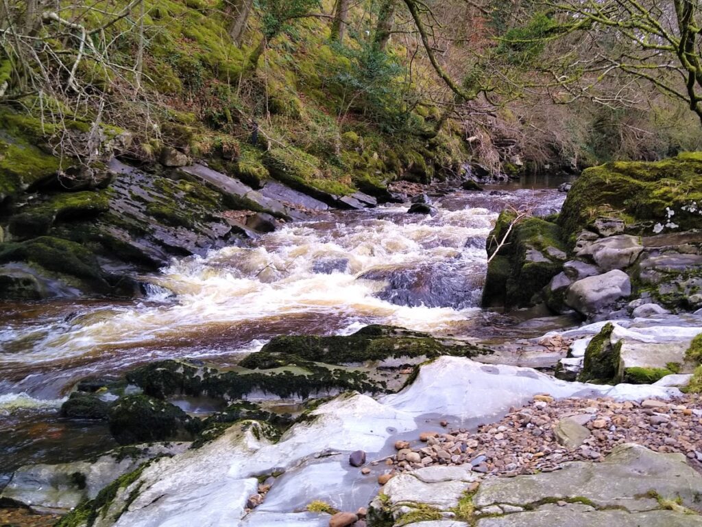
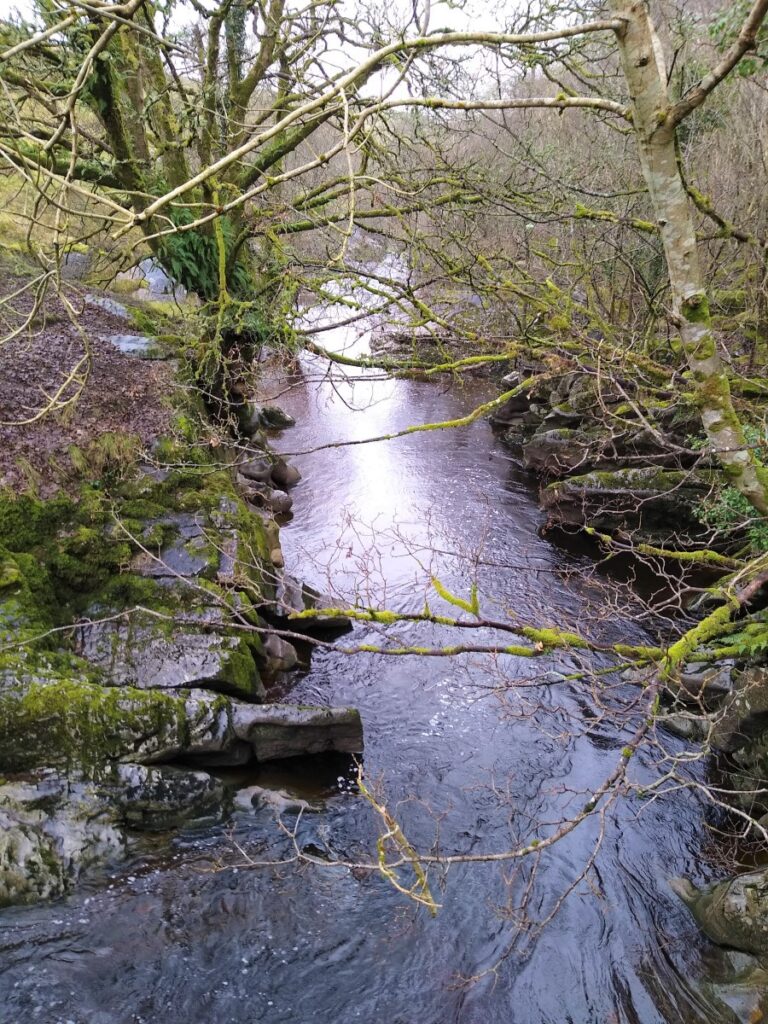
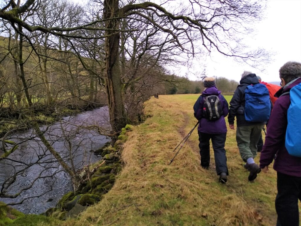
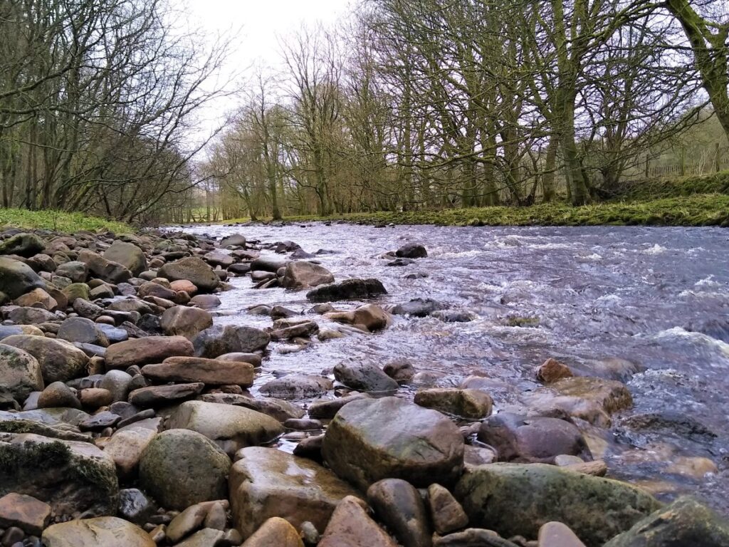
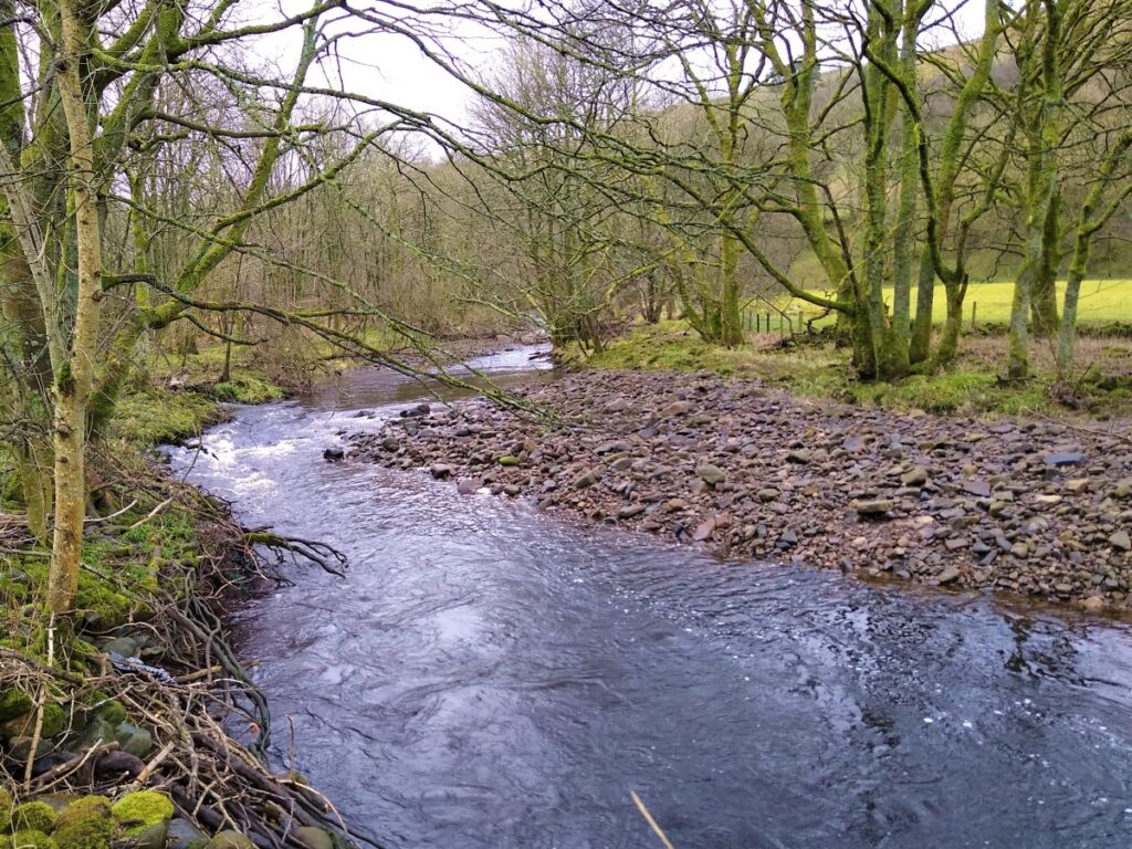
Keep an eye open for a finger post this time on the right hand side of the road indicating the footpath down to New Bridge. This takes us down to the banks of the Clough River, which we follow downstream for a while, generally through flat pastures, passing a number of bridges over the river.
Some of these are in use, whilst others have fallen into atmospheric disrepair. This is not a problem for us though as we do not need to cross the river, staying on the North bank at all times.
Notice a derelict railway wagon in a field adjacent to the river. The ground here is dry enough to make this a good place to stop for lunch.
From here we press on along the side of the river, which remains on our left hand side, until we arrive at the A684 again at a road bridge – this is the “New Bridge” referenced on the earlier fingerpost.
We cross the main road with care and continue on the other side following the riverbank again until we come to a way marker in the corner of field showing us that the path turns hard right and away from the river, now heading North and up toward farm buildings.
At the buildings, the path forks, with the clearer and more used path heading left (and to the west) along the contour lines. An alternate path heads North and uphill.
We take the easier and larger path – along the contour lines – although if you take the “wrong” path, there is no need for concern; both lead to the same minor road and in both cases we turn left.
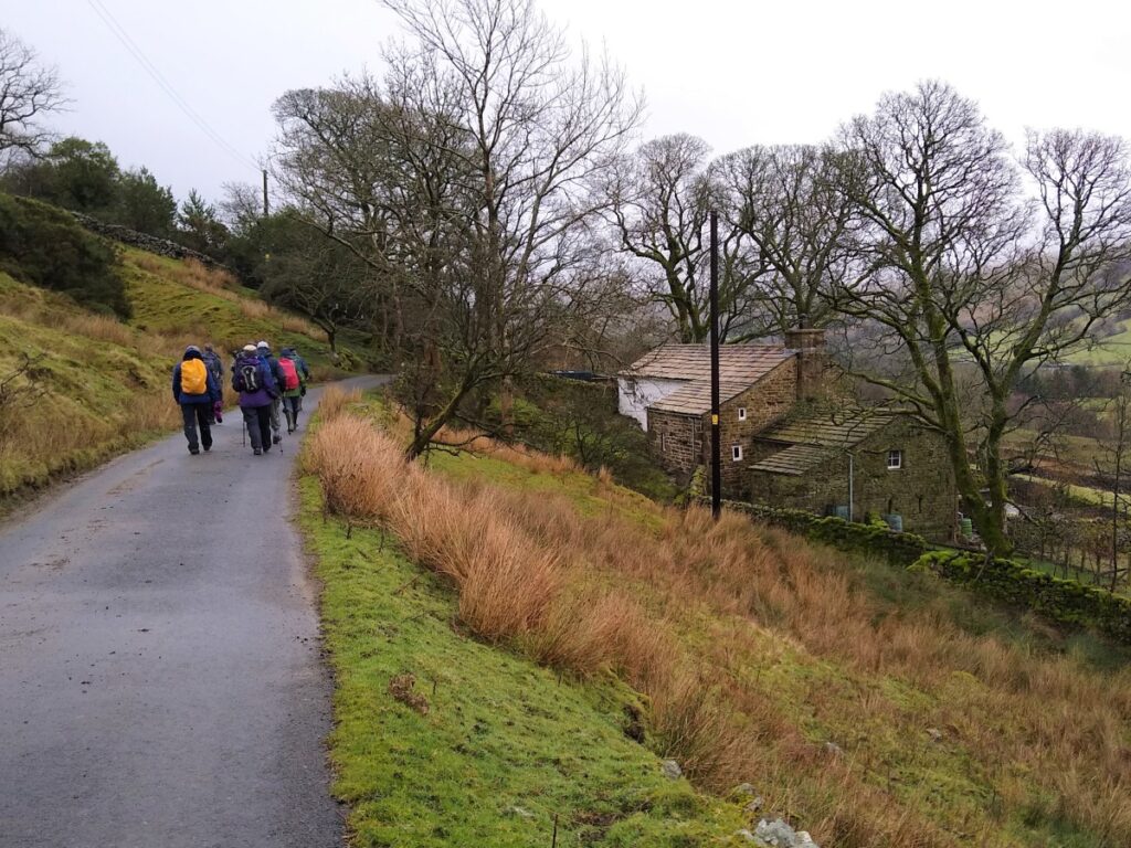
We are now back on the minor road that leads to the car park. We follow this as far as the stone bridge over the Clough River, and for the return leg, rather than heading straight up to the car park, we take a detour along the river on the Sedgwick Geological trail.
The trail focusses on explaining the visible clues to the Craven Fault that Adam Sedgwick, a Dent born geology pioneer first explained.