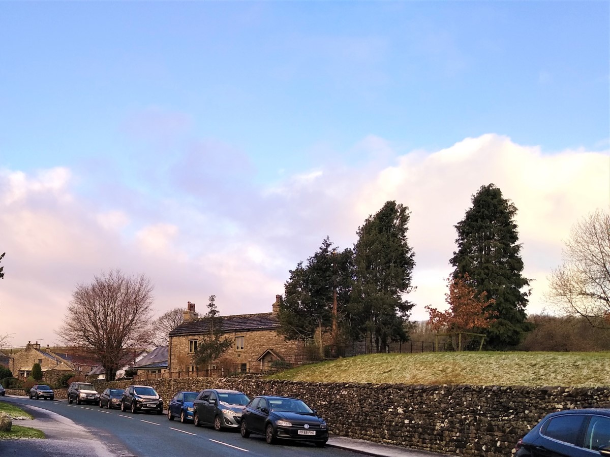
This circular walk starts from Austwick– where there is generally parking available free of charge on the roadside. For this walk we parked near the Traddock Hotel, although anywhere in Austwick serves equally well.
We first head out of the village along Wood Lane before cutting back to cross the Austwick Beck at the Flascoe bridge from where we walk down to the Horton road.
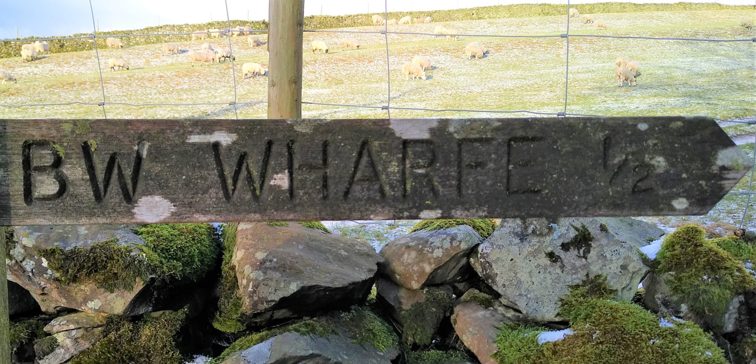
A right turn takes us to a well signed bridle way up to the pretty hamlet of Wharfe, and from there we head up the Dales Highway path to the “wash dubs”. There we cross a small stone clapper bridge to take the footpath over the fields back down into Austwick.
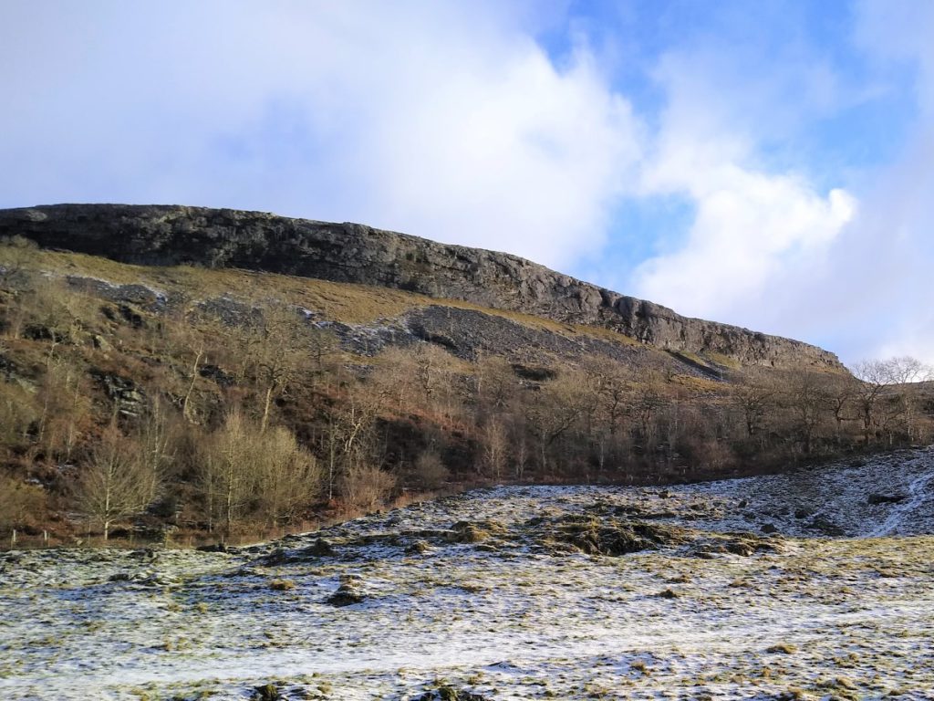
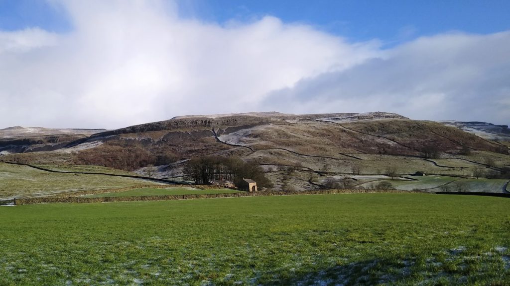
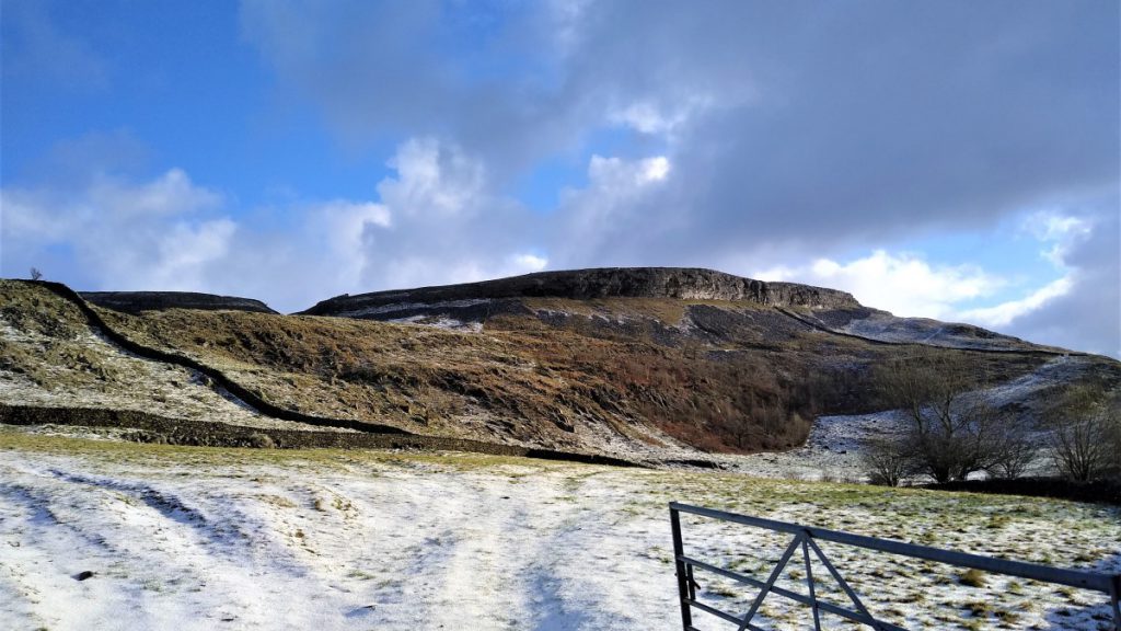
Austwick is a favourite starting point for walks – and with good reason – it provides great access to the Norber Erratics, Crummackdale, Oxenber and Wharfe Woods, The Three Peaks (Ingleborough, Pen-y-ghent and Whernside) as well as Wharfe and the Wash Dubs – our destination on this short walk.
Parking is generally available at the roadside, but please park with consideration for residents of this “honey-pot” village. For this walk, the best starting point is the road outside the Traddock Hotel: Sat Nav users should find that LA2 8BY works.
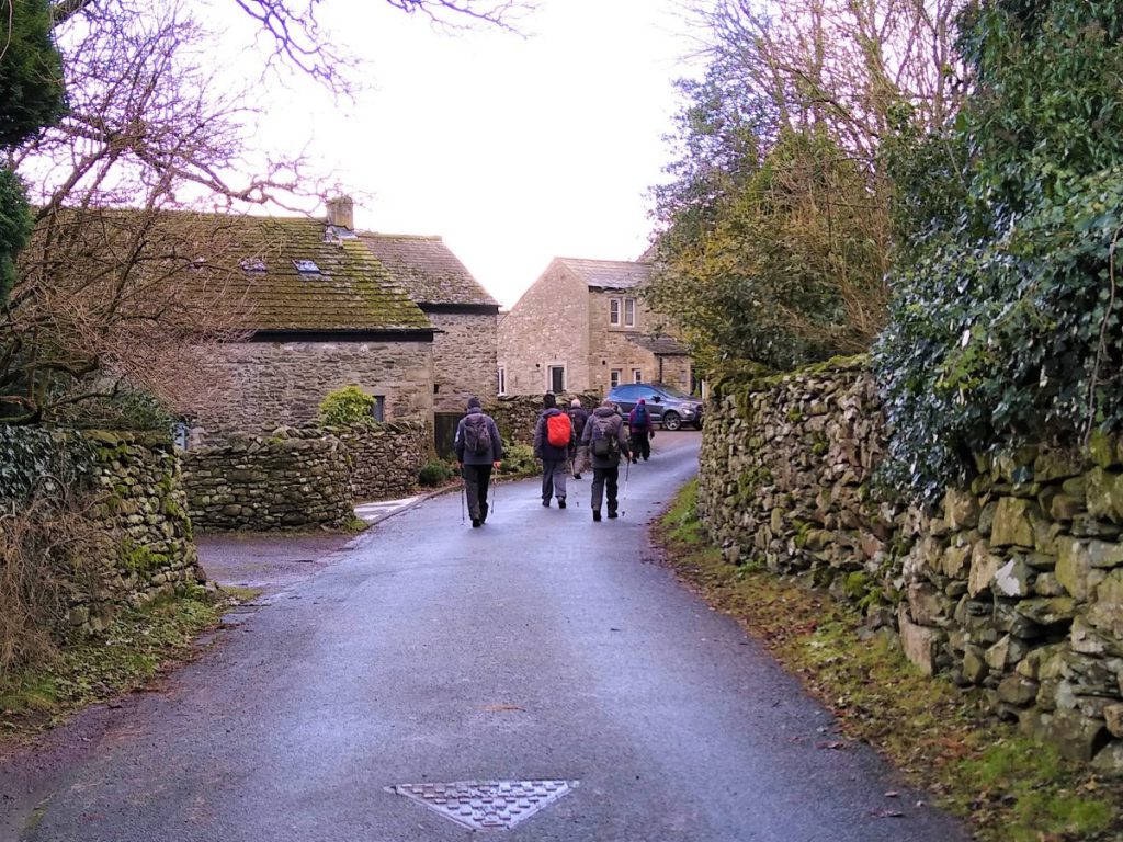
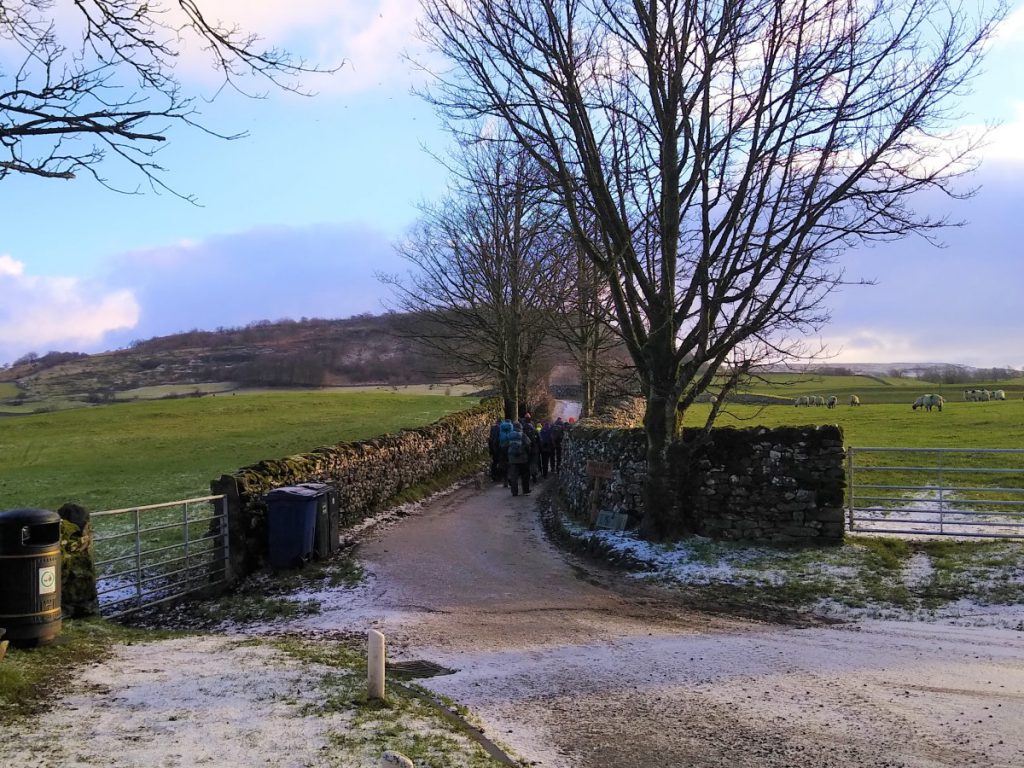
From the Traddock, head away from the village centre toward the bridge over the Austwick beck and look for Wood Lane on the left just after the Bridge.
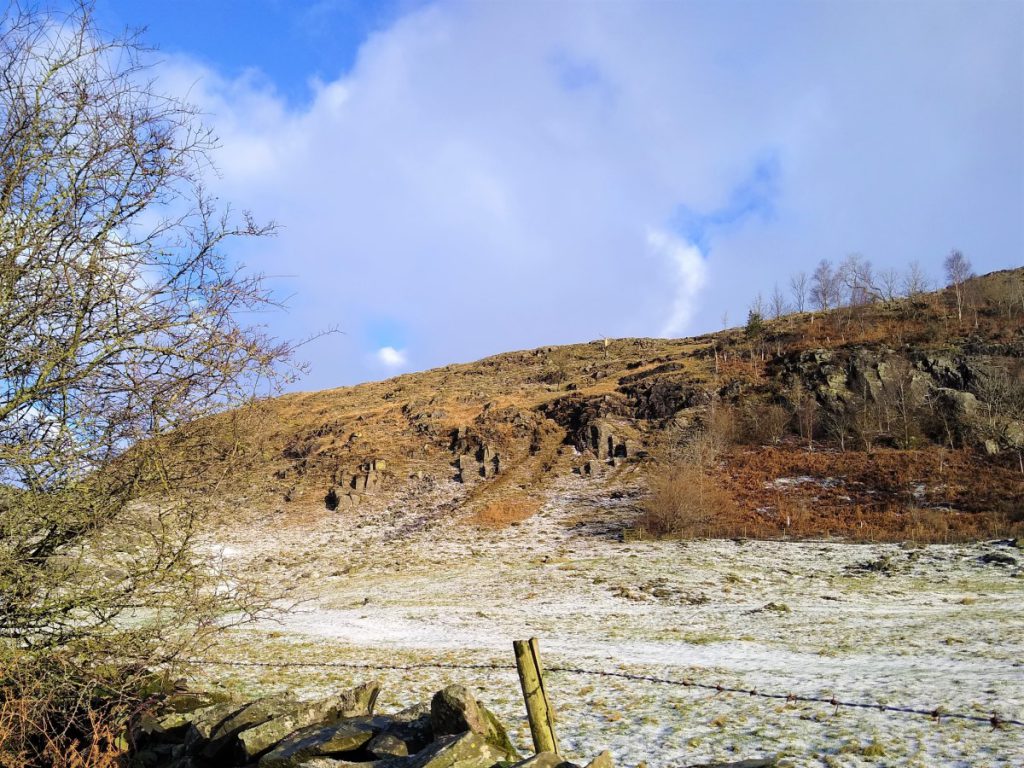
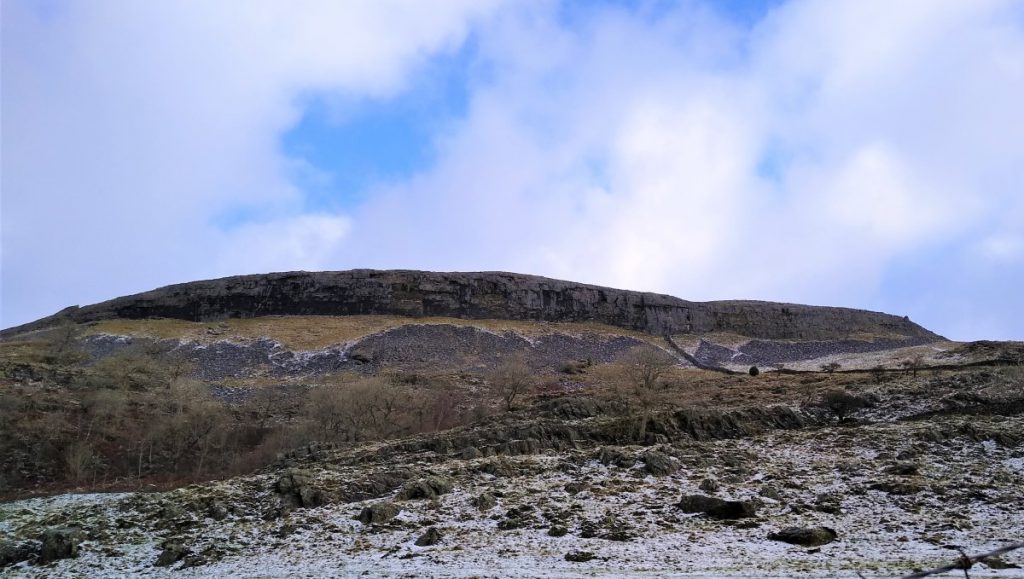
Follow this lane, part of the Pennine Bridleway, in the direction of Oxenber and Wharfe Woods (well worth visiting) until you meet a junction of several paths
At this point, we turn left and head back toward the beck and the village centre.
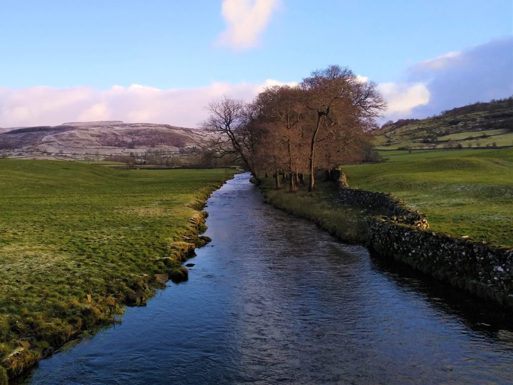
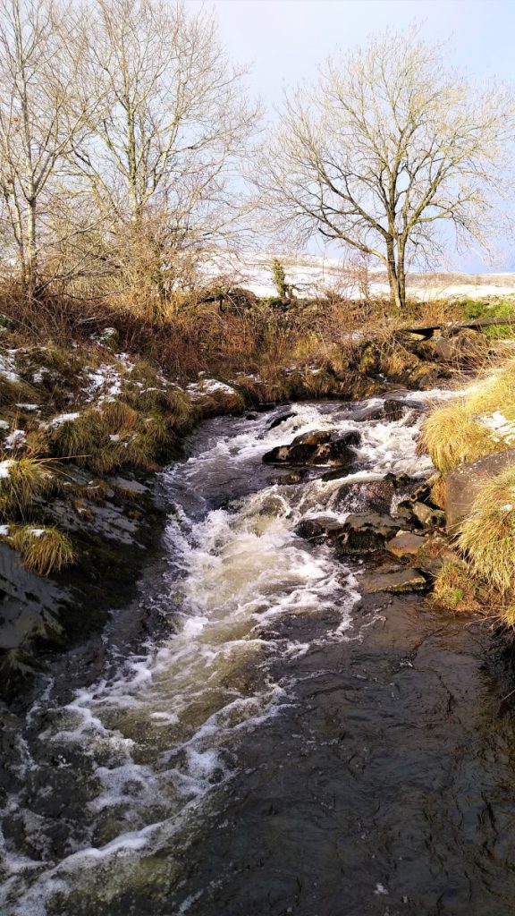
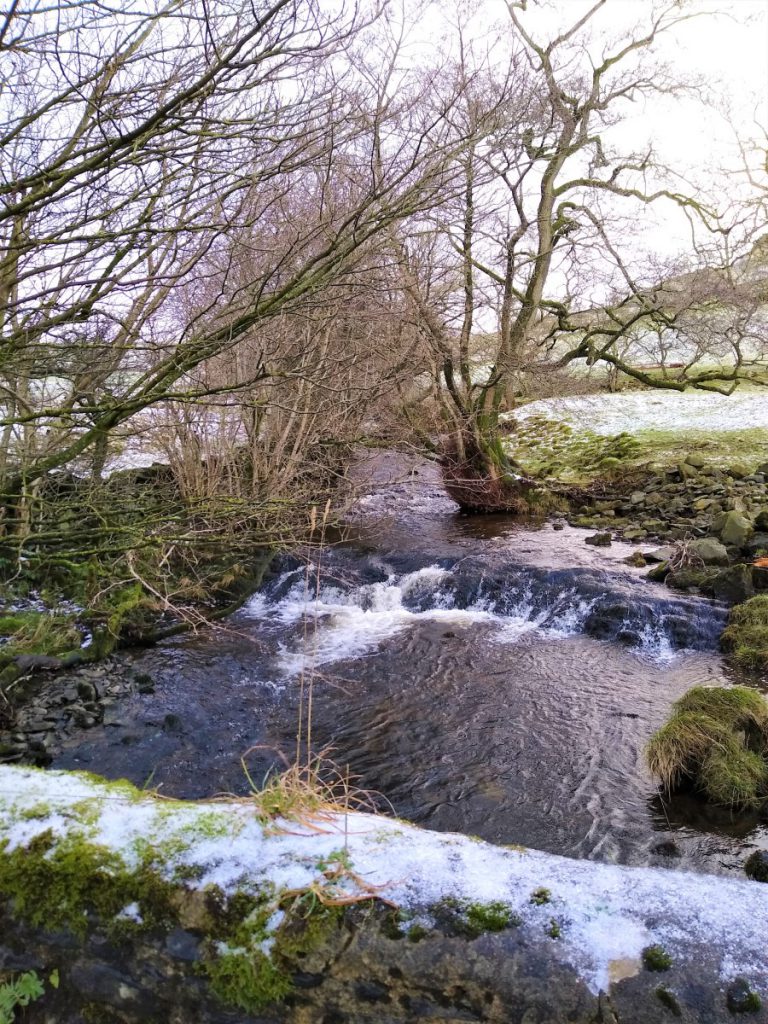
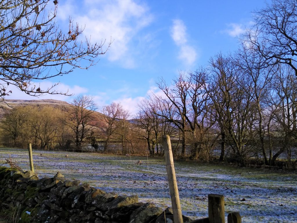
Austwick Beck is crossed either at the ford – under very low water conditions – or more likely the stone footbridge referred to as Flascoe Bridge.
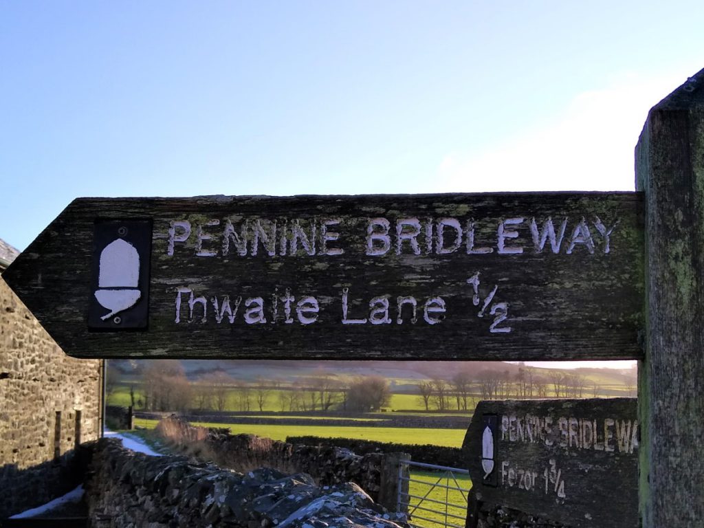
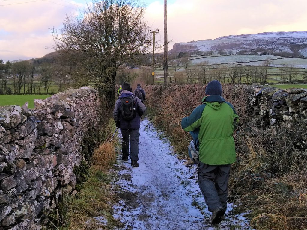
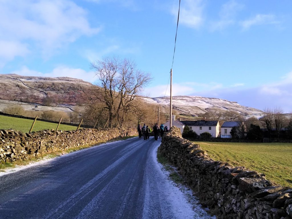
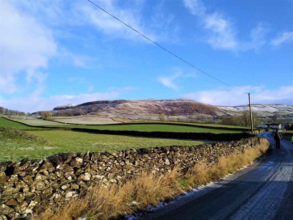
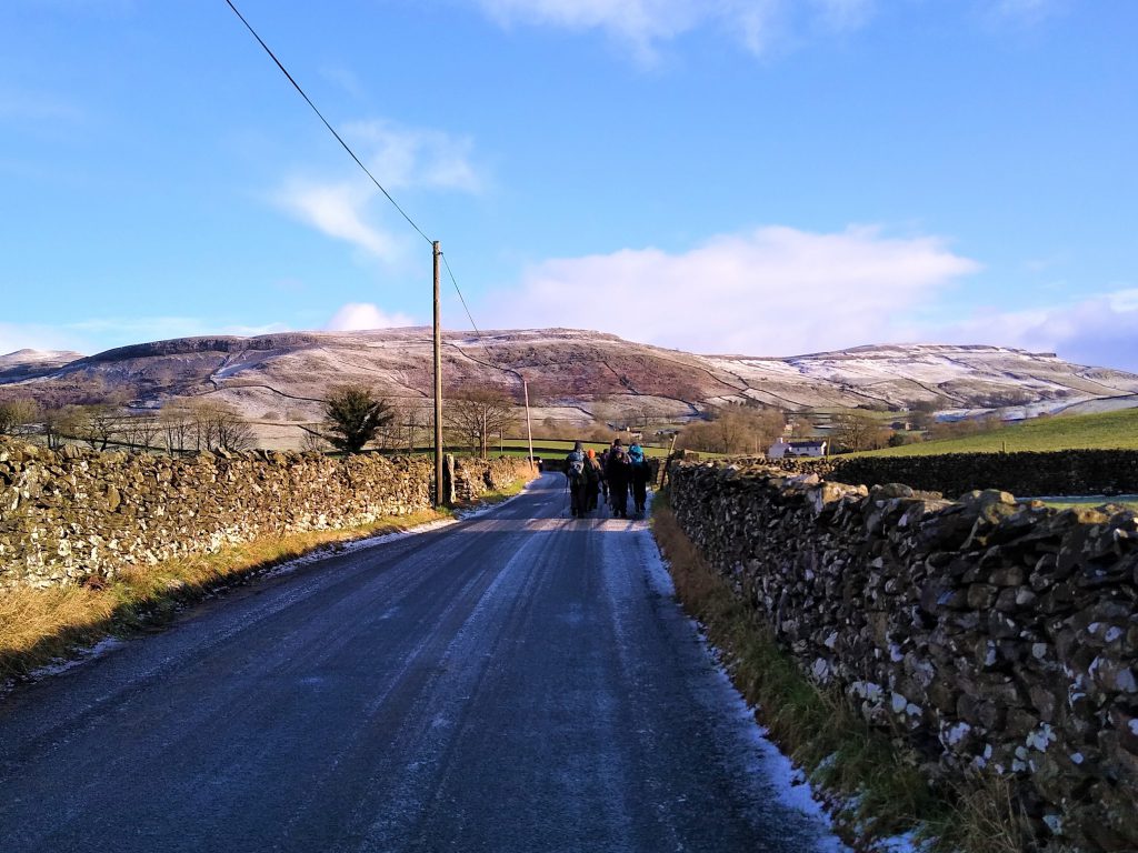
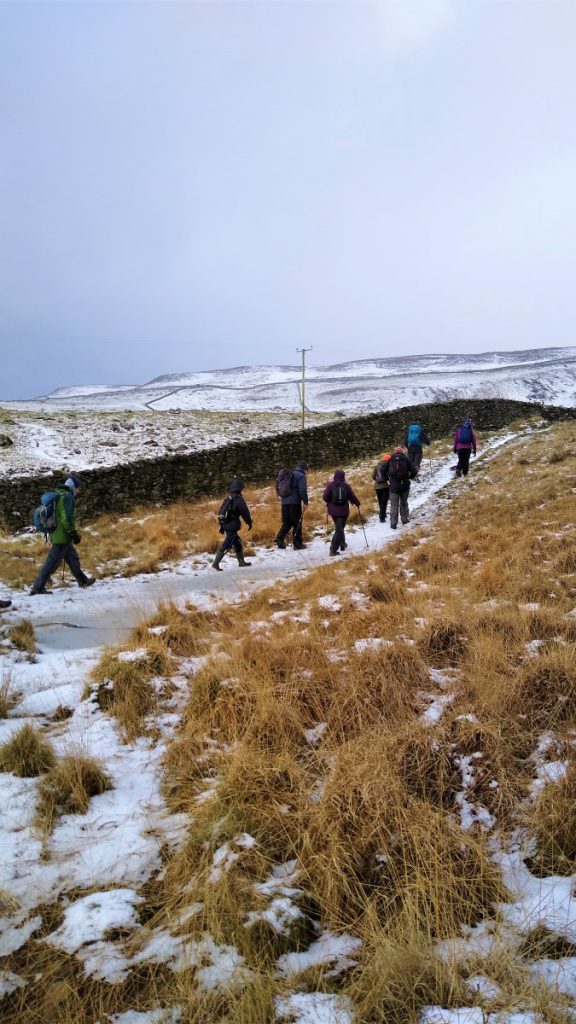
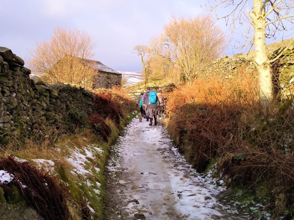
From here we continue between drystone walls until we get back to the Horton-in-Ribblesdale road at Austwick, where we turn right and continue with the Pennine Bridleway toward Wharfe.
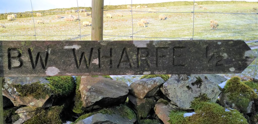
Ahead of us we see a large white house – keep an eye open for a bridleway on the left just before the house directing us to Wharfe.
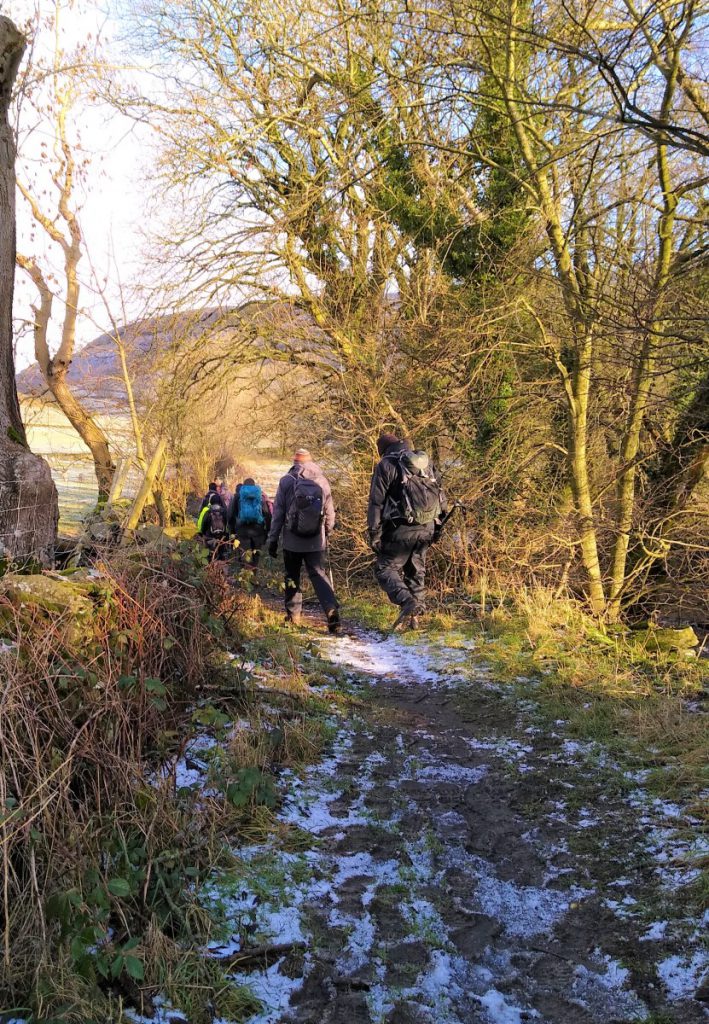
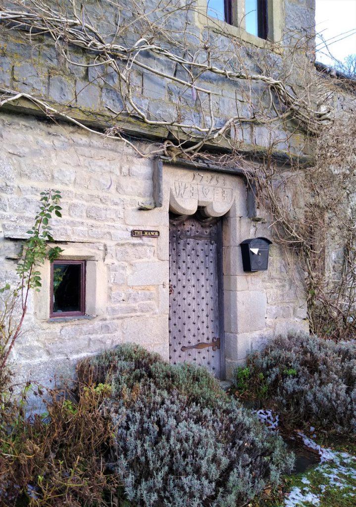
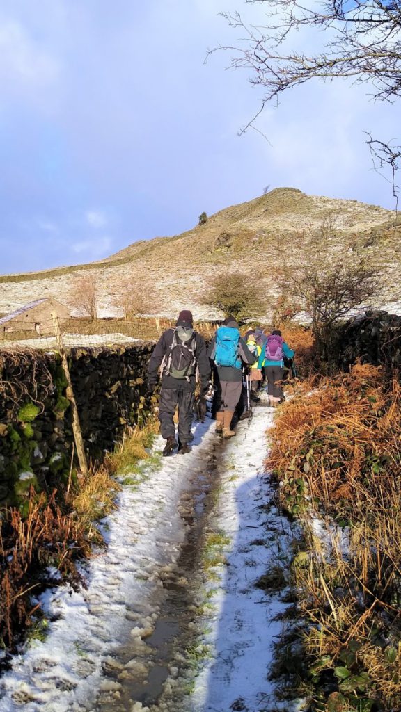
Follow this up to Wharfe – an ancient hamlet of just a few houses – one of which is a manor house dating from 1715 – probably one of the most photographed houses in the Yorkshire Dales.
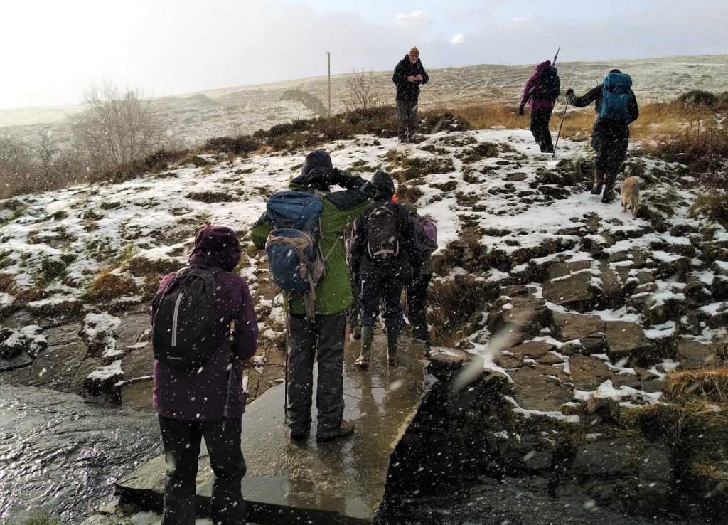
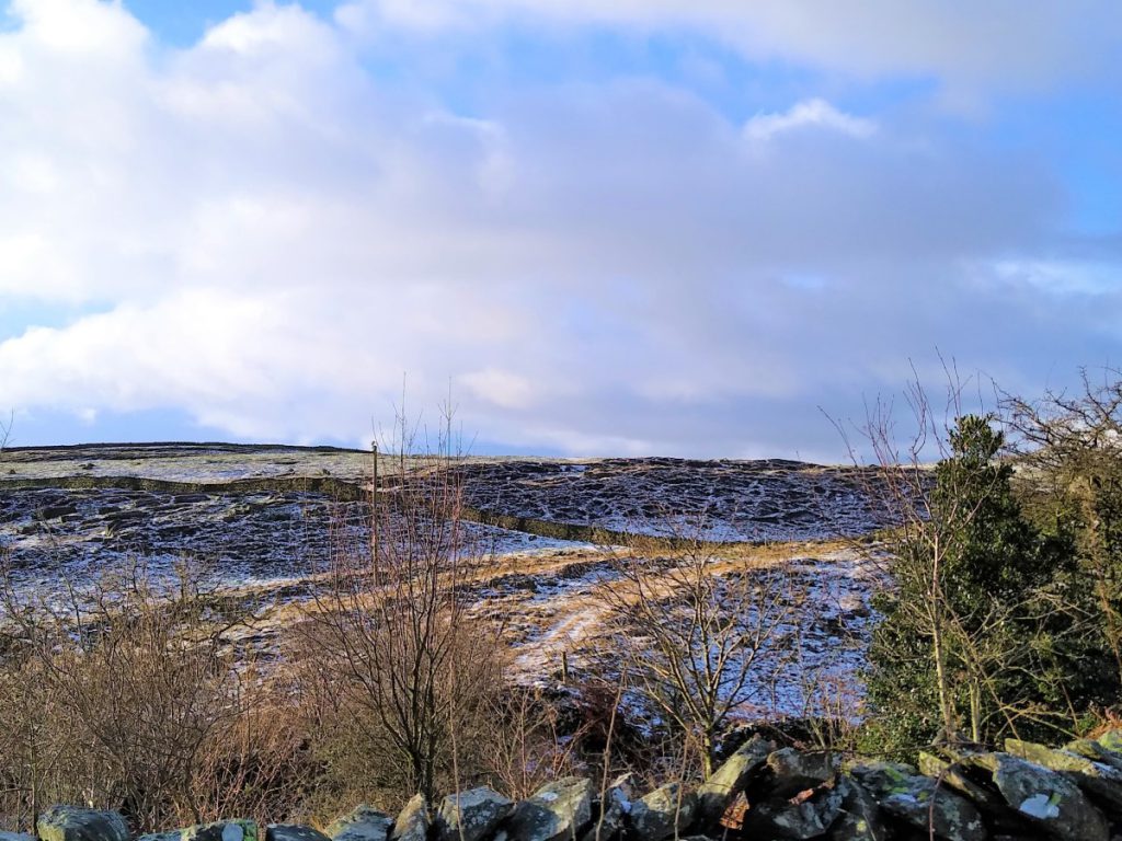
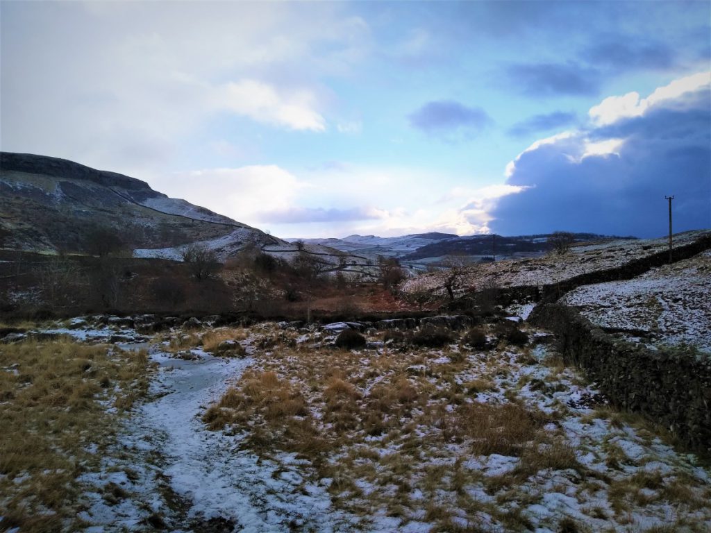
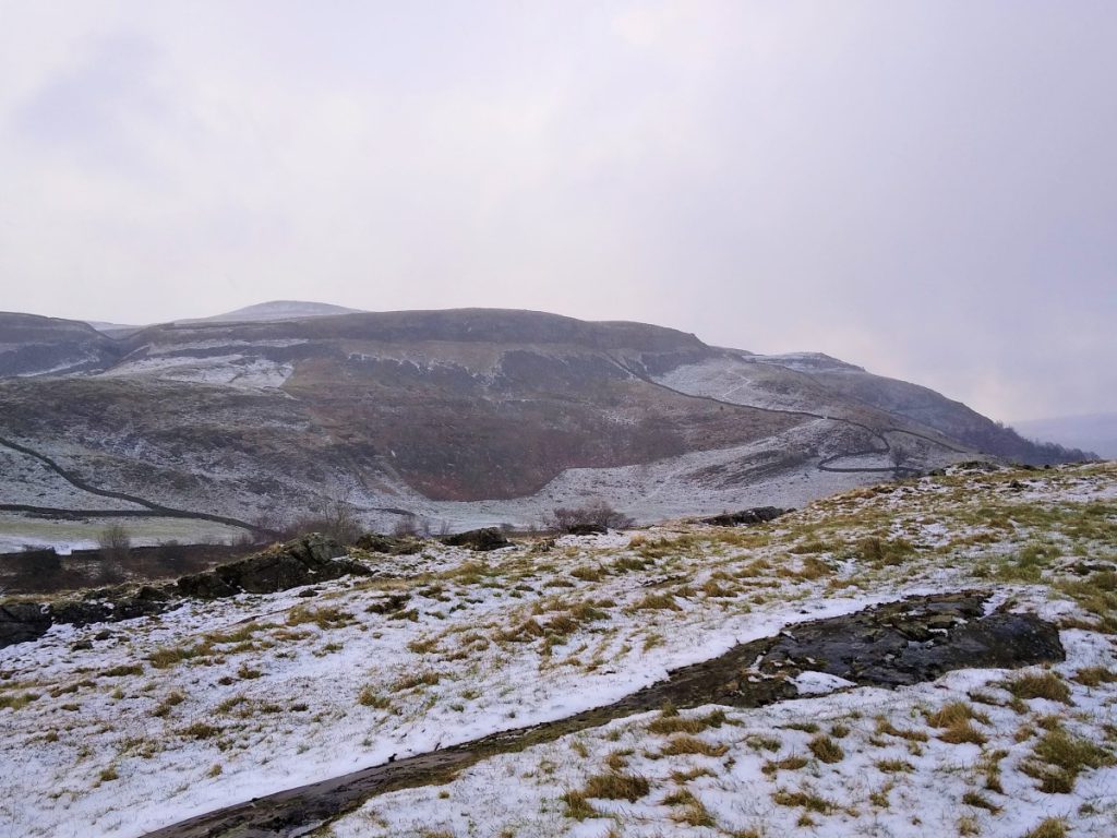
Just beyond the manor house take the lane on the left, which is part of the Dales Highway path, this curves back, so we are soon walking behind the manor house in the direction of Crummackdale. We continue with this path until we reach the “Wash Dubs” – a good place to have a break.
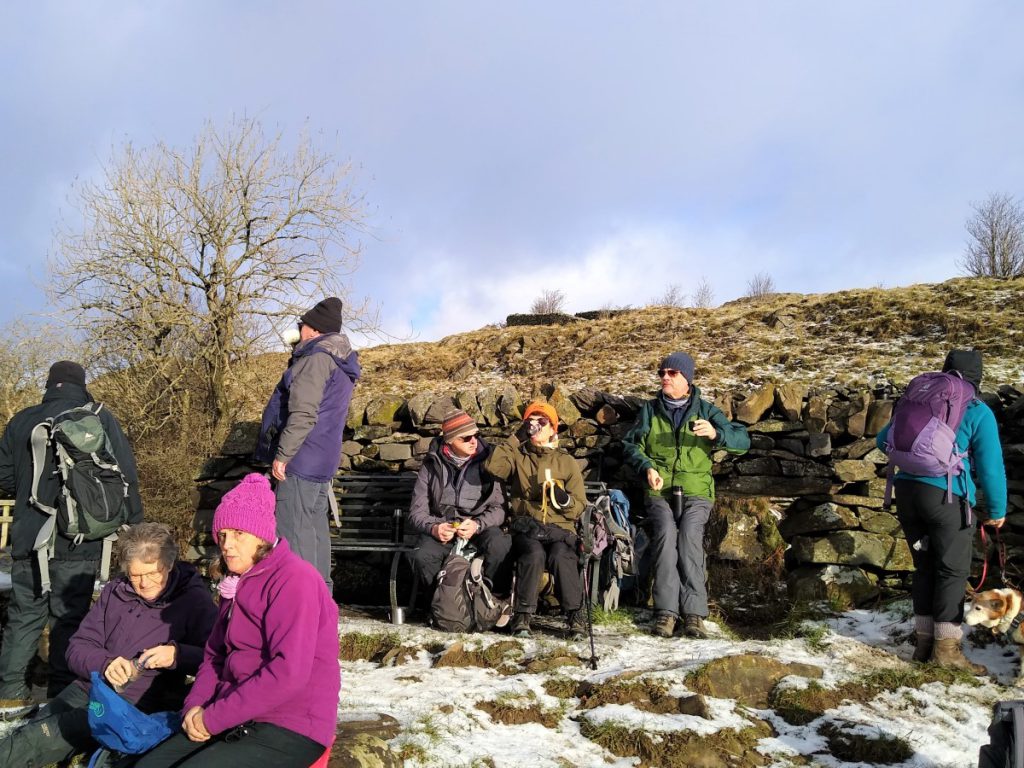
The wash dubs are an interesting agricultural and cultural relic: In the days before chemical sheep dips, sheep had their fleeces ‘salved’ with grease and Stockholm tar to keep parasites at bay. Before the fleece could be clipped and sold for wool production, the resulting mess had to be washed out in order to get a better price. In Austwick, farmers worked together and dammed Austwick Beck in Crummackdale to form a pool or wash dub. The sheep ready for washing were herded into the small stone enclosure nearby. Austwick wash dub field was given to the Parish Council by the landowner and the enclosure has been restored with Millennium Lottery funding.
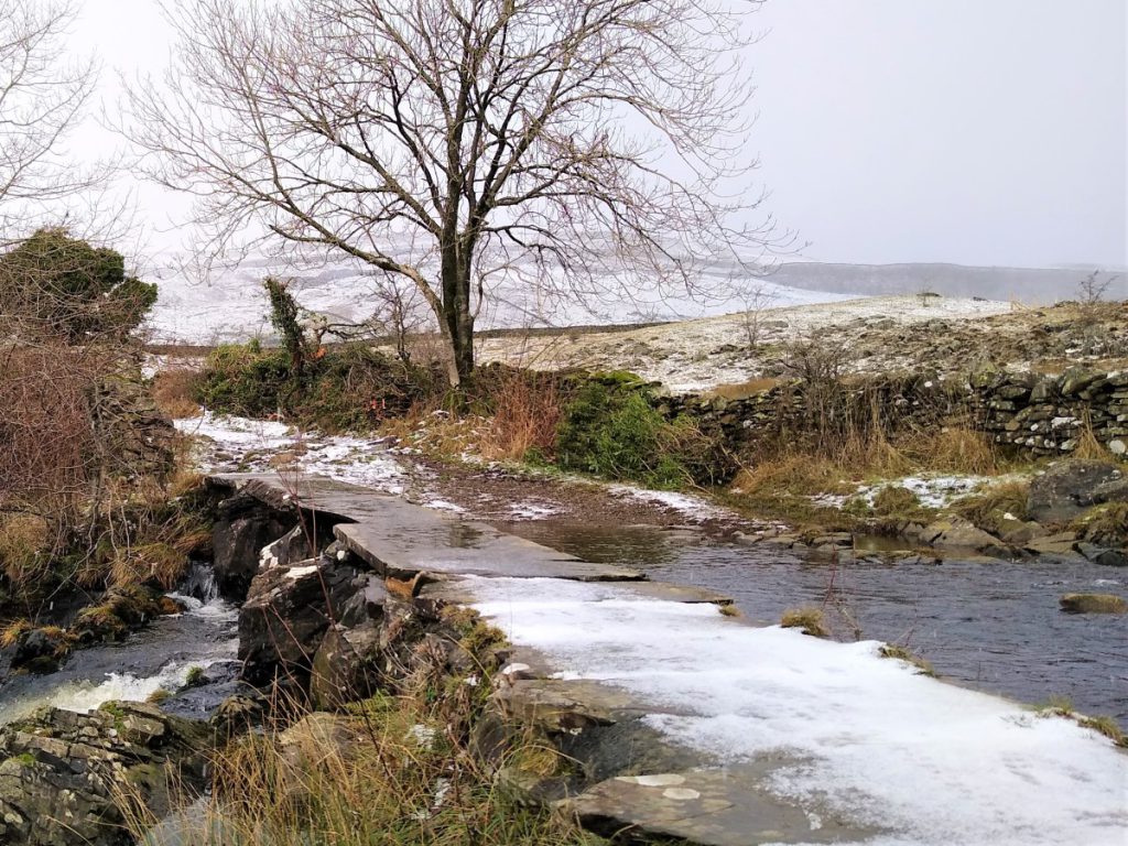
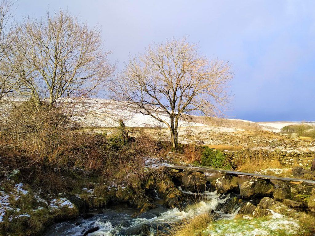
There are two stone footbridges at the wash dub – one allows a continuation of the lane toward Crummackdale, whilst the second smaller one takes us over the beck and back in the direction of Austwick.
It is the second one that we take.
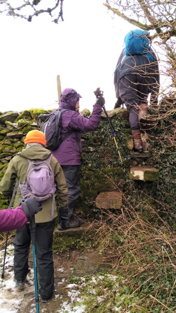
Immediately after the bridge look out for the path striking out on the right to a stile across a dry stone wall. This is our route – not the gate immediately ahead.
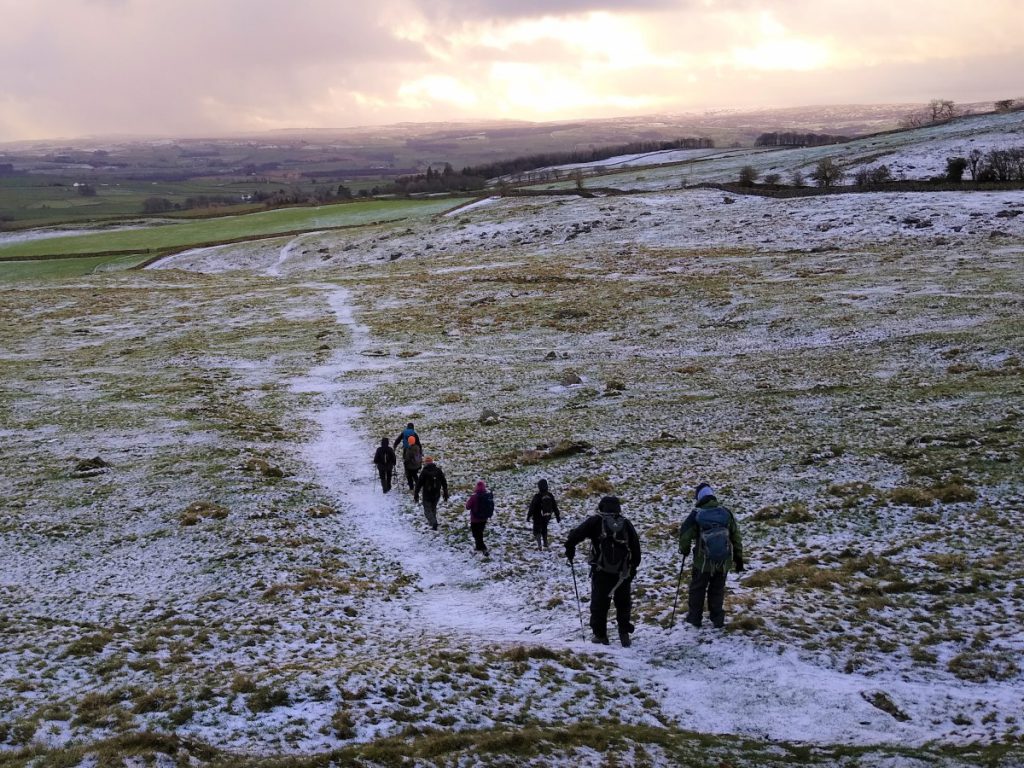
From here we follow the clear footpath through fields and stiles maintaining a southerly heading until we get to Thwaite Lane.
At Thwaite Lane, cross and take the stile back into the fields and continue South toward Austwick. The path passes between houses and indeed through gardens – although signage is clear.
We soon emerge onto Town Head Lane, which we follow downhill and back to the Horton Road in Austwick. Here we turn right, and pass the school, before taking the track on the left which comes back to our starting point.