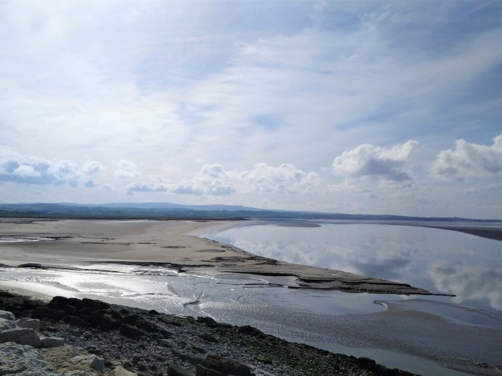
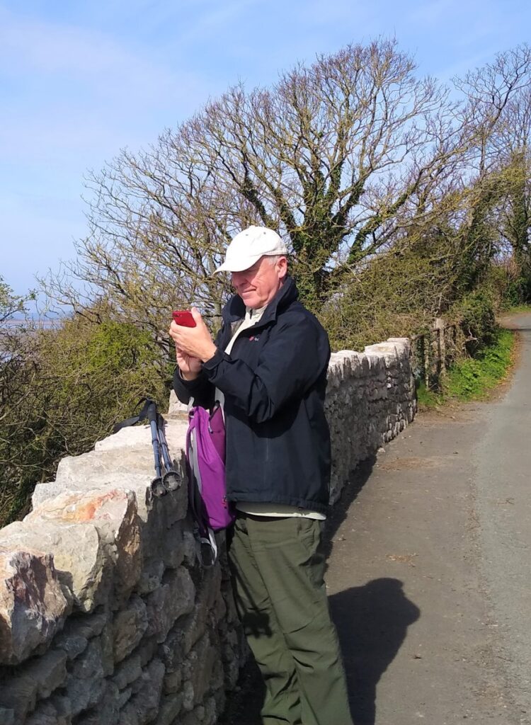
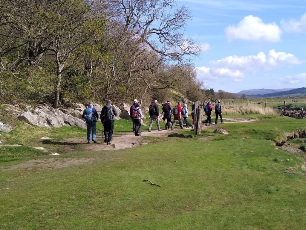
Another Silverdale walk from the Bentham Footpath Group – but this one takes us over to Warton Crag and the Beacon, with great views over Morecambe Bay at many points.
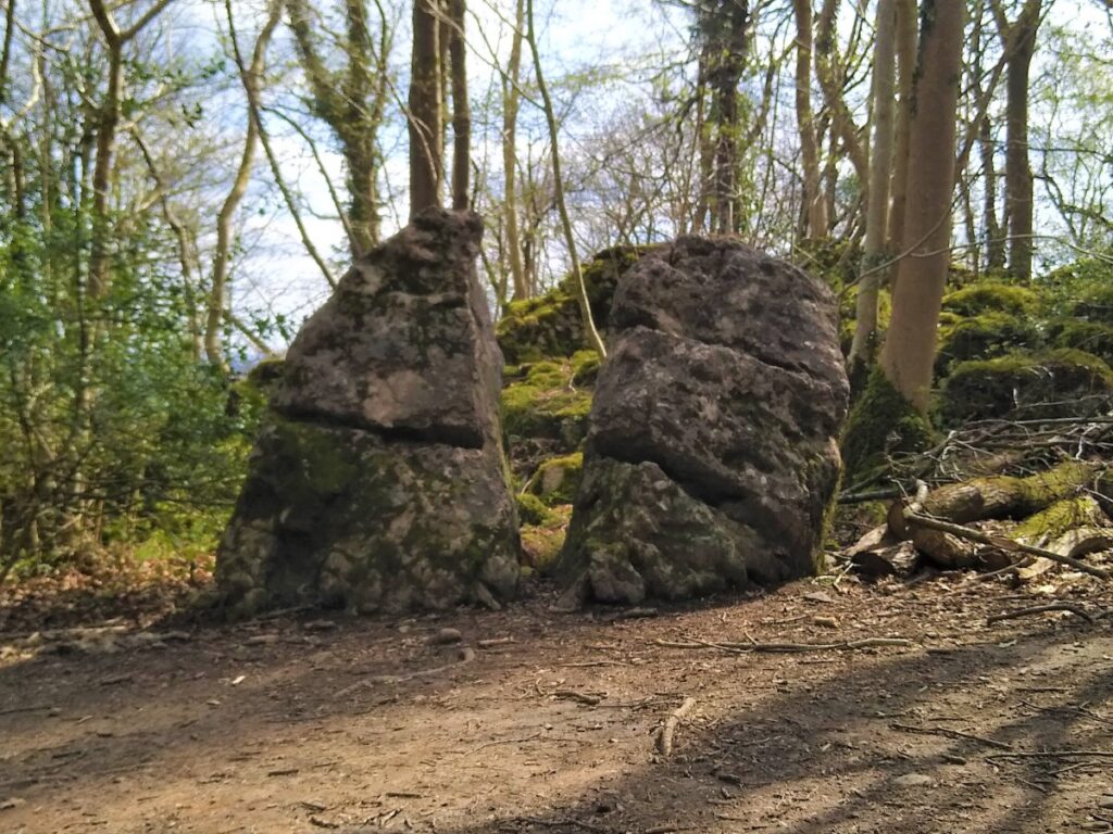
We pass a Victorian folly, a number of interesting sites of industrial archaeology, a failed attempt to reclaim land from the sea, and an iron-age hill fort.
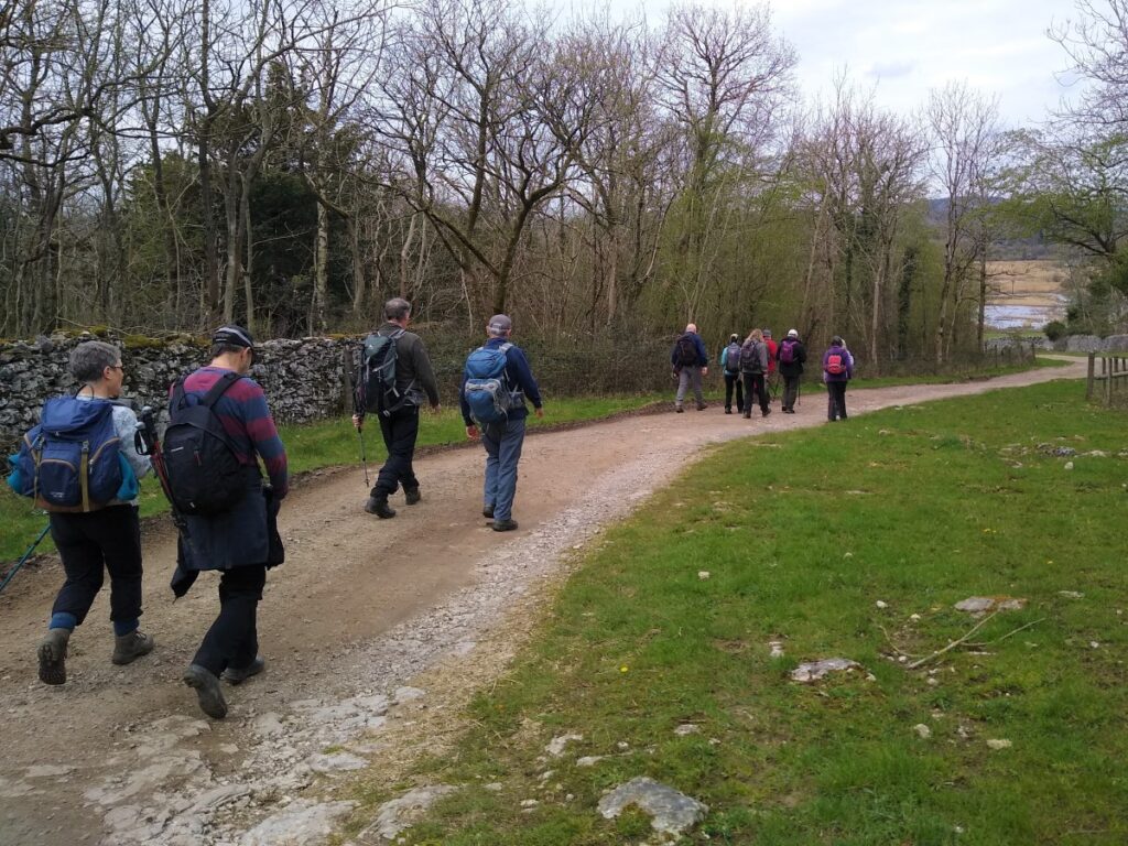
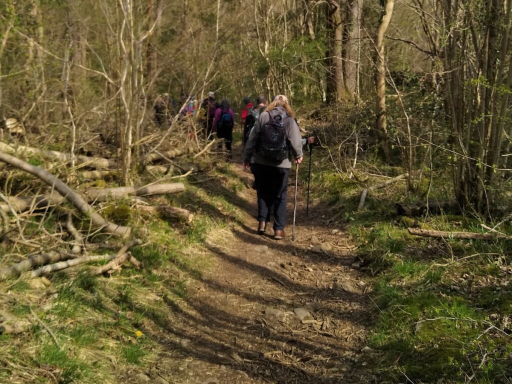
The walk is classed as moderate mainly because it’s quite long, and although there is some climbing, the paths are generally good – at least in the weather that favoured us in April 2022.
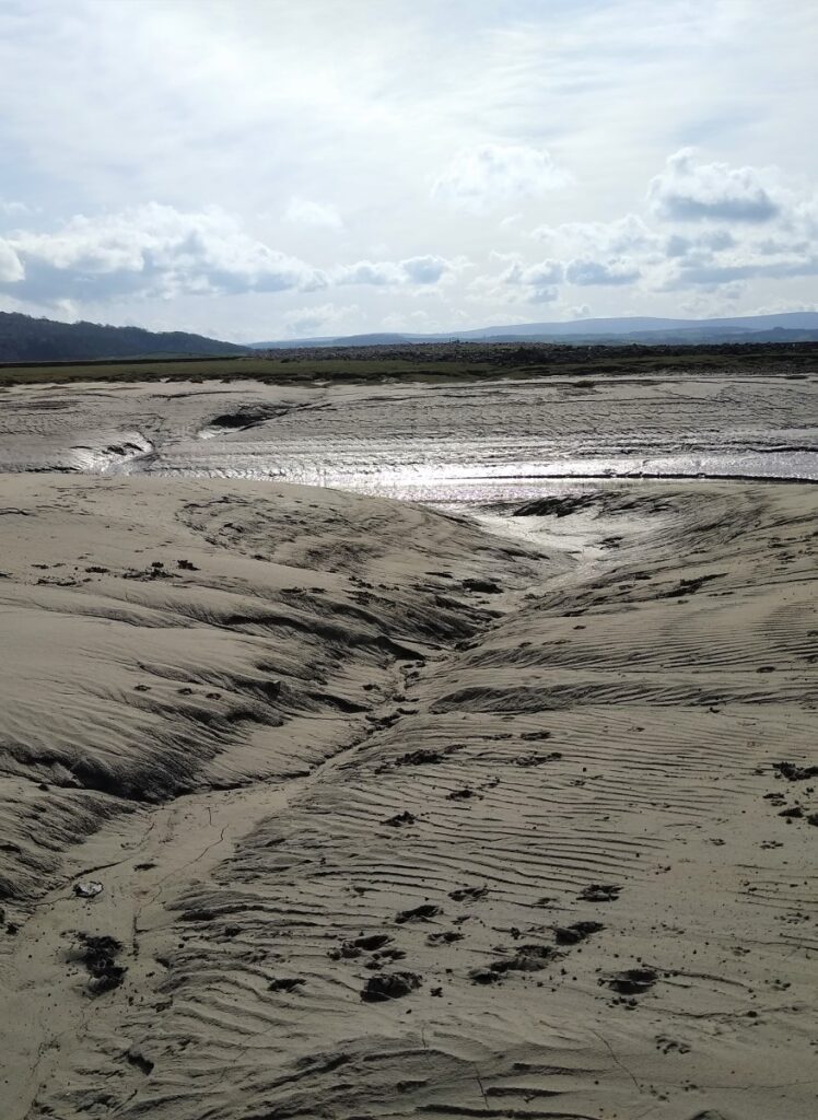
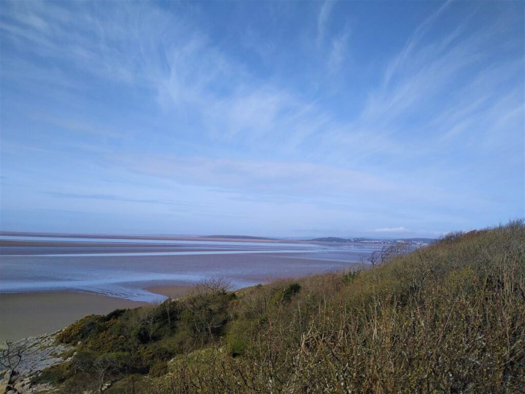
Be aware that parts of the walk are on the edge of the bay so can be muddy in wet weather and/or during high tides.
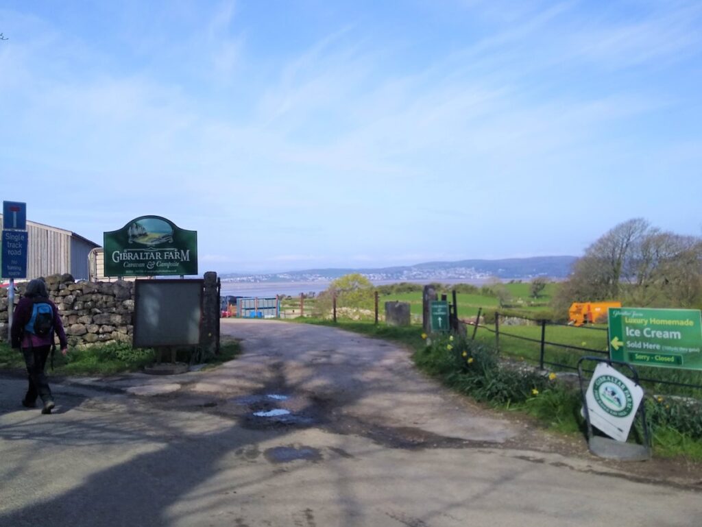
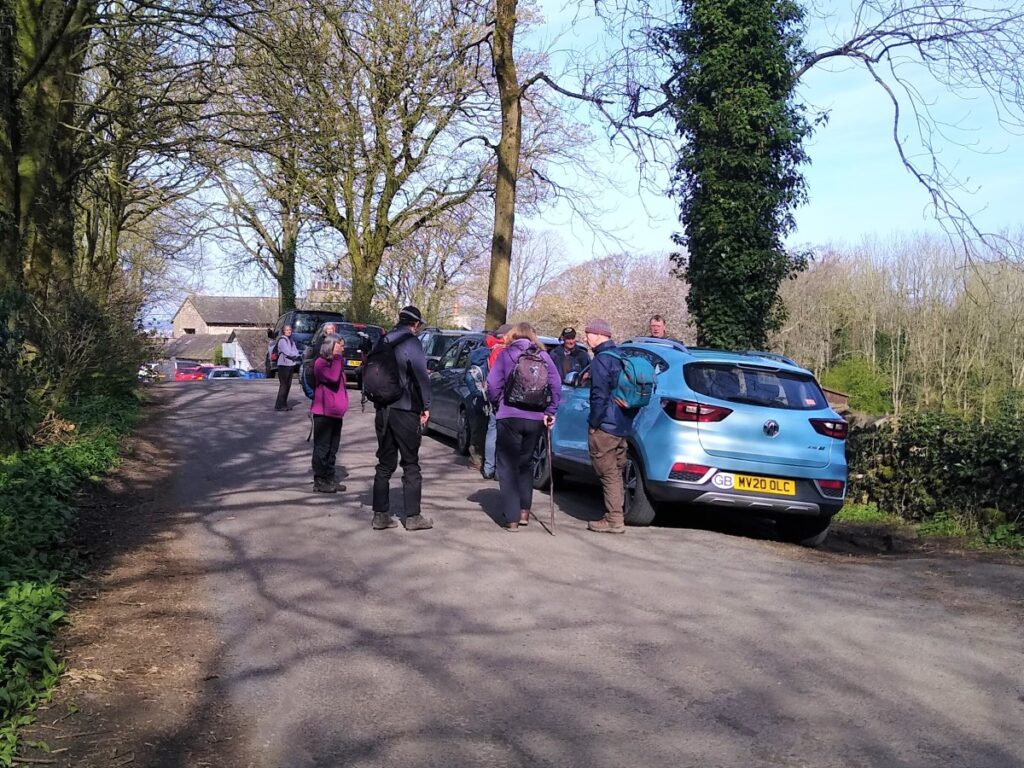
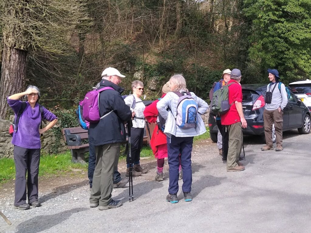
We start and end the walk in Hollins Lane, Silverdale where there is good roadside parking – we start at the Gibraltar Farm end of the lane. If you are using Satnav, enter postcode LA5 0TX, if you use What-3-Words, try wake.spin.relocated, or if you prefer paper maps SD 4632 7417 will find it.
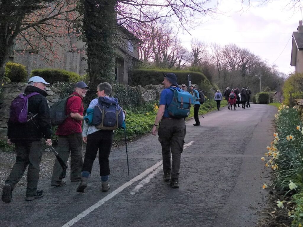
From the parking head slightly downhill toward the farm and gallery at the bottom of the lane and then turn left along Lindeth Road toward Lindeth Tower and Jenny Brown’s point.
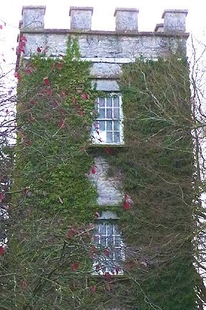
The tower looks ancient – but isn’t – Lindeth Tower is a Victorian folly built in the style of an embattled square tower of three storeys – not unlike a Pele tower. It was built in 1842 by the Preston banker Hesketh Fleetwood.
The author Elizabeth Gaskell stayed in the tower in the 1840s and 1850s and her novel Ruth was written there. Lindeth Tower is a Grade II listed building, and now offers upmarket self-catering holiday accommodation.
The point has also been known as Brown’s Point (1812), Silverdale Point (1818) and Lindeth Point (1828); the name Jenny Brown’s Point was in use on an 1829 estate plan and was used by the Ordnance Survey from 1848.
The identity of Jenny Brown is uncertain, but it is known that a Jennet was born in 1628 to Robert Walling of Dikehouse farm at the point. She later married Robert Brown and one of their daughters was also Jennet (born 1665), though she was referred to as Jennye in her father’s will.
More romantic is the story that Jenny was any one of . . . a lover waiting for her lost sailor to return, a nanny who saved her charges from the tide, a lodging-house keeper, or a steam engine (or “jenny”) sent to Brown’s Point. Pick your myth and propagate it.
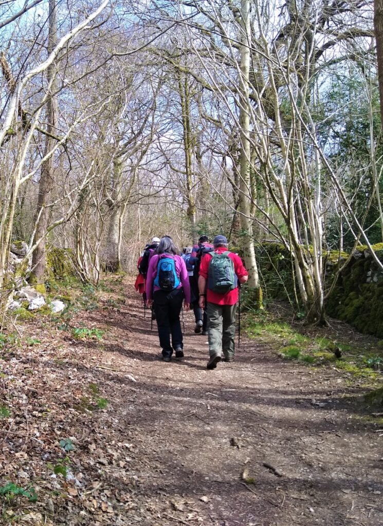
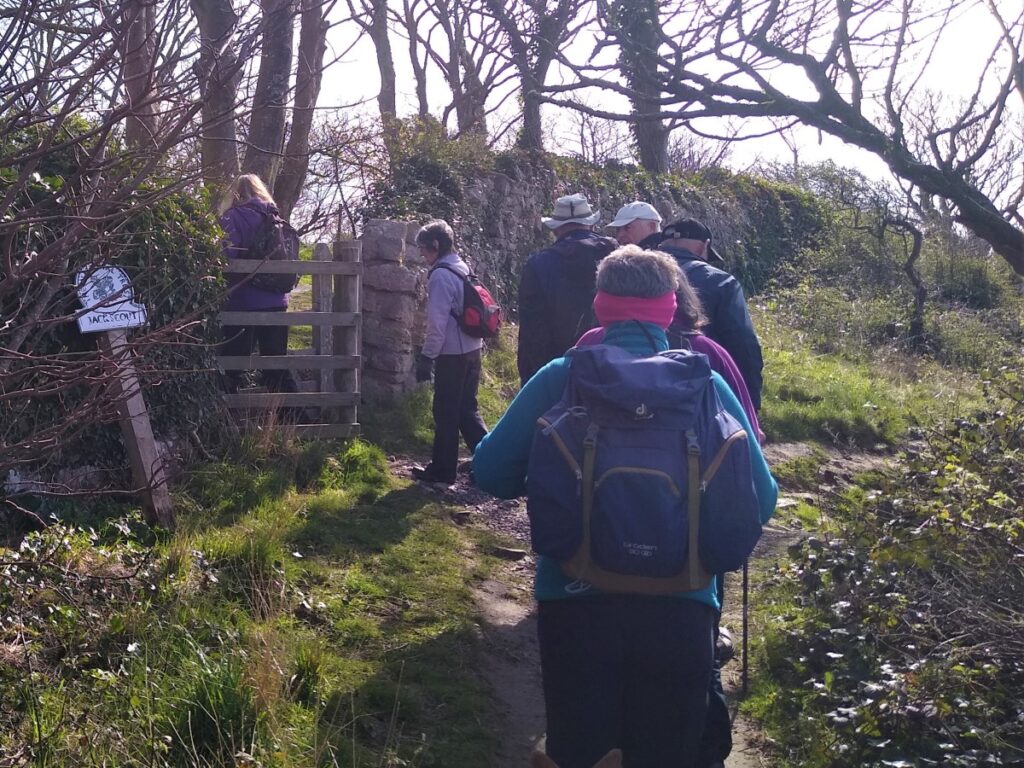
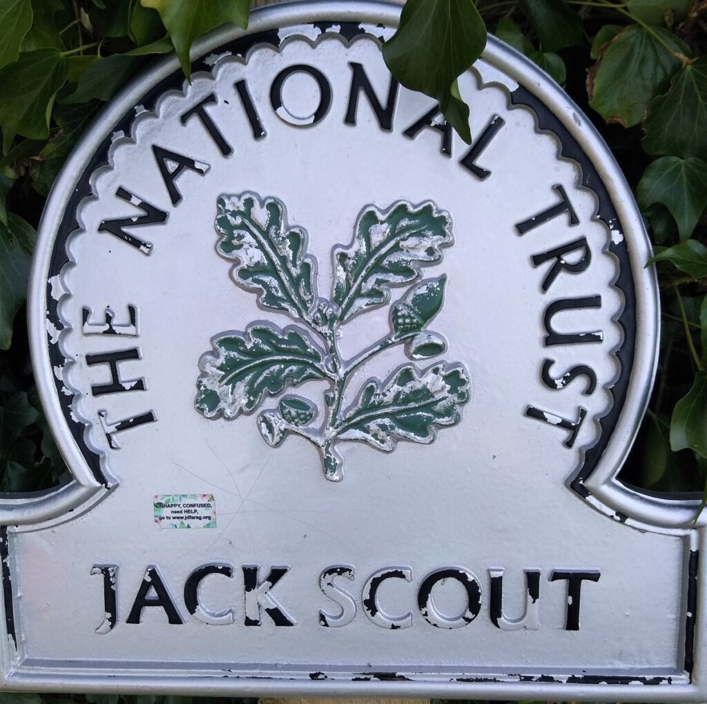
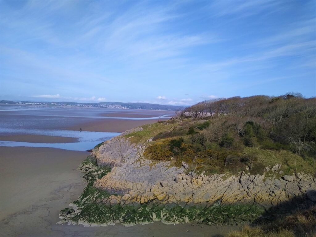
Having passed the tower, we continue down the lane keeping an eye open for a gate on the right leading onto a path down to the Jack Scout Nature reserve.
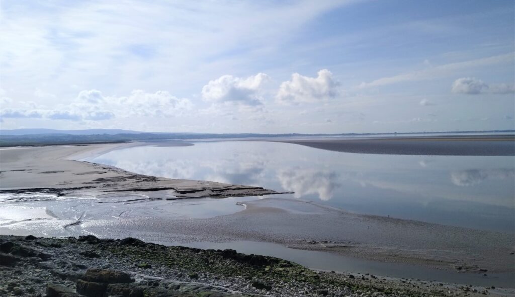
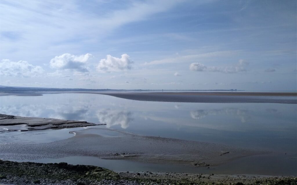
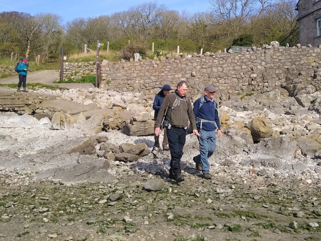
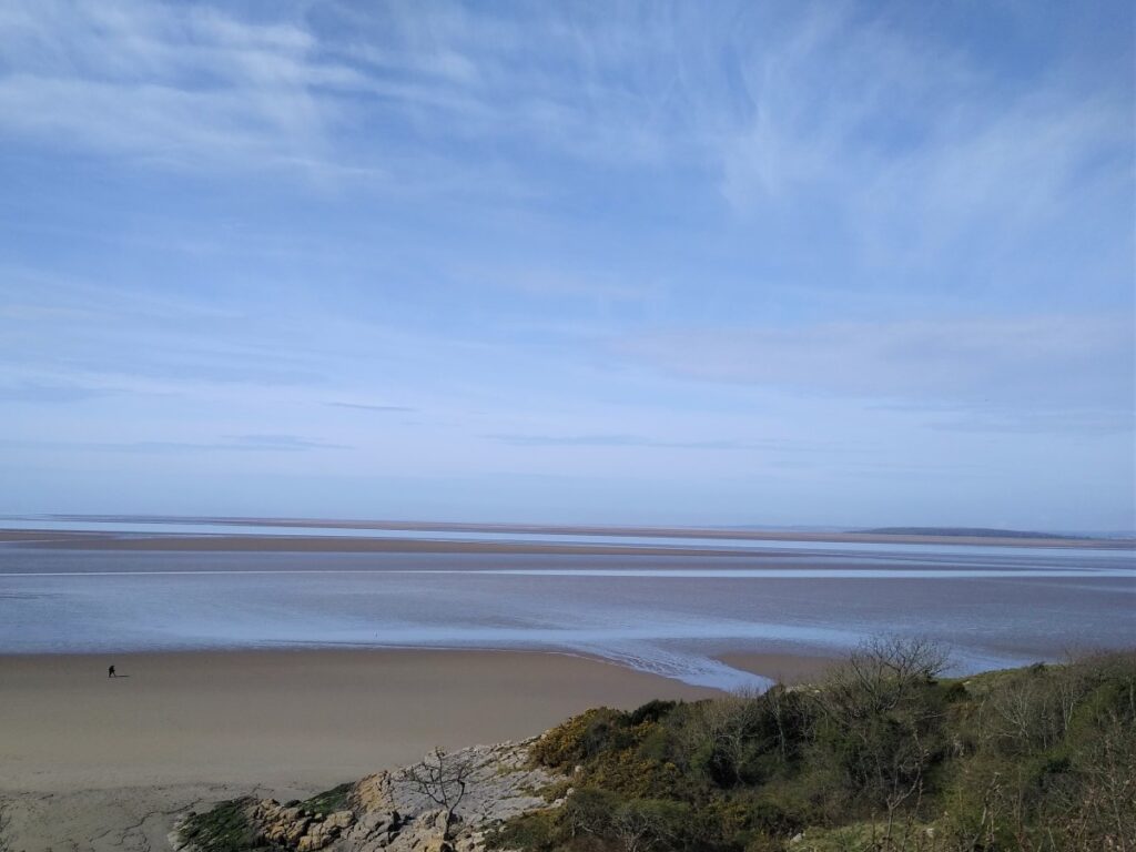
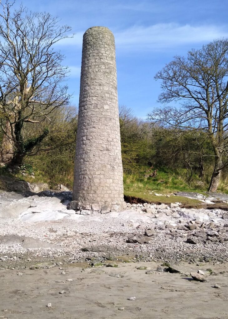
The path through the nature reserve is well marked and offers good views over the bay before arriving at the beach at Jenny Brown’s point with the Chimney ahead of us on the shore.
The chimney, sometimes described as a tower, is grade II listed and has been the subject of archaeological and archival investigations. It is now believed to be the remains of a short-lived copper mining and smelting project set up by Robert Gibson in the 1780s. Gibson was Lord of the Manor of Yealand and incorrectly assumed he had the right to mine for copper at Cragfoot, inland from the point, on land actually owned by the Townleys of Leighton Hall. The copper was processed in a furnace at Jenny Brown’s Point of which the remaining chimney was part. The whole operation was abandoned in 1788 after acrimonious lawsuits, and Gibson died in 1791.
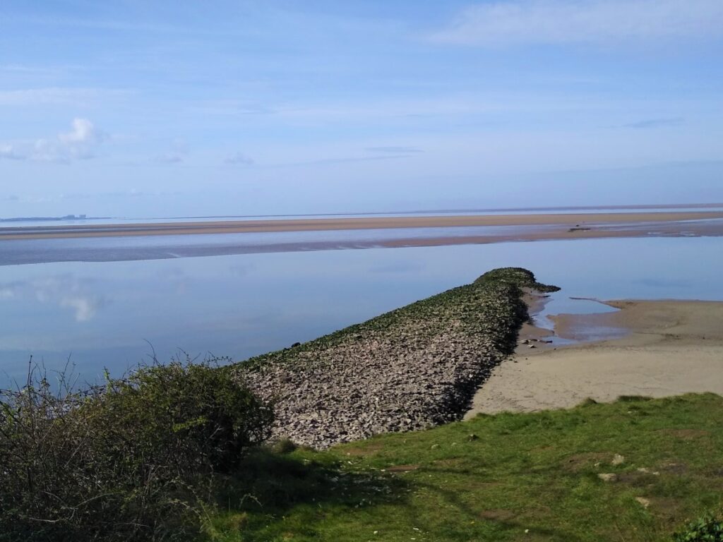
Also of note in this area is Walduck’s wall: This was an ill-fated Victorian scheme to reclaim an area of land between the point and Carnforth: in much the same way as the Dutch were reclaiming land from the north sea in their various Polder schemes. Work began on the project in 1877 and ceased in 1879. The remains of the wall were hidden under the bay’s shifting sands for many years before re-emerging in 1975.
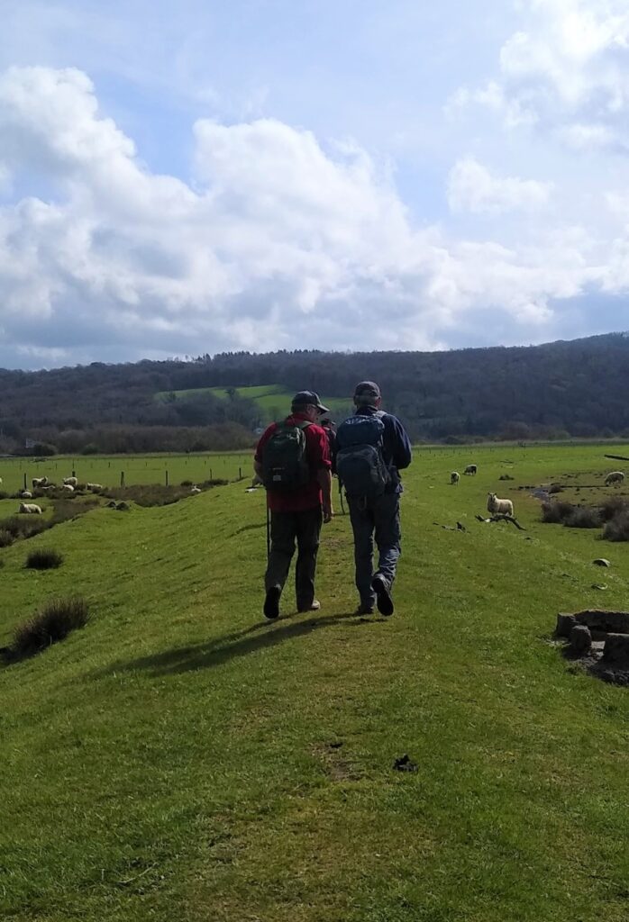
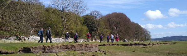
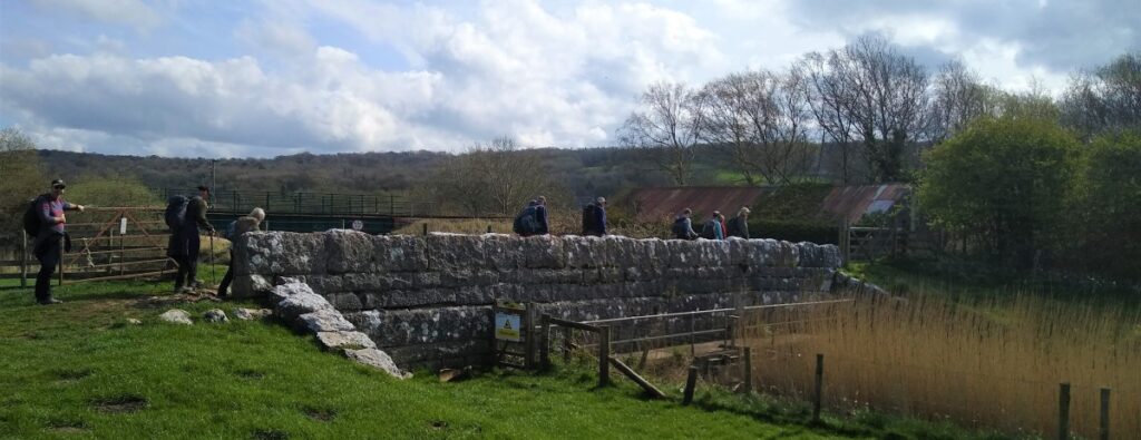
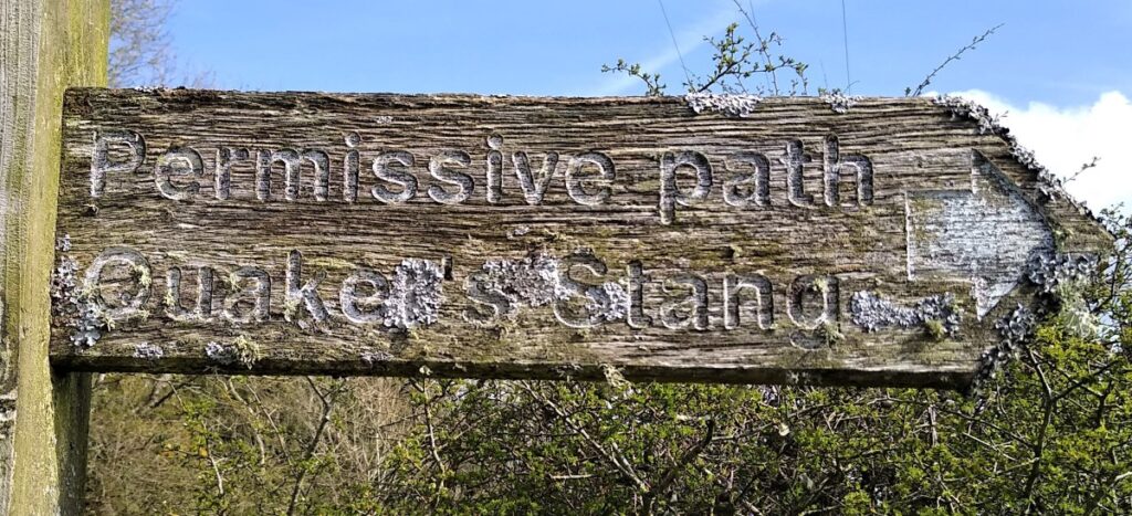
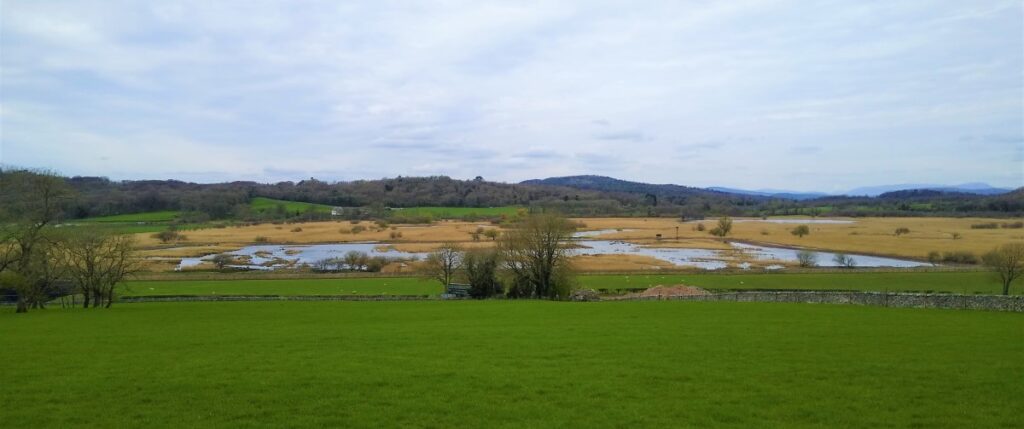
We now follow the shoreline round in an Easterly then North Easterly direction until we meet a point where a number of paths meet: We take the permissive path to Quaker’s Stang – thought to refer to the levee / flood defence across the seaward side of Leighton Moss. The origins of this word are unclear as is the connection to the Quaker movement: A stang can be a unit of measurement, approximately equal to a perch or about five and a half yards: 5m in modern currency. It might also mean a pole either as a measure, or as a physical pole inserted into the soft ground to mark the safest route for passage in a time when this land was much more treacherous.
Whatever the meaning of the words we follow the stang round to a stone bridge over a drainage ditch – where we pick up a track back down to the road across the moss.
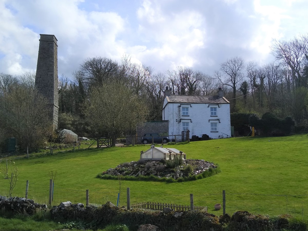
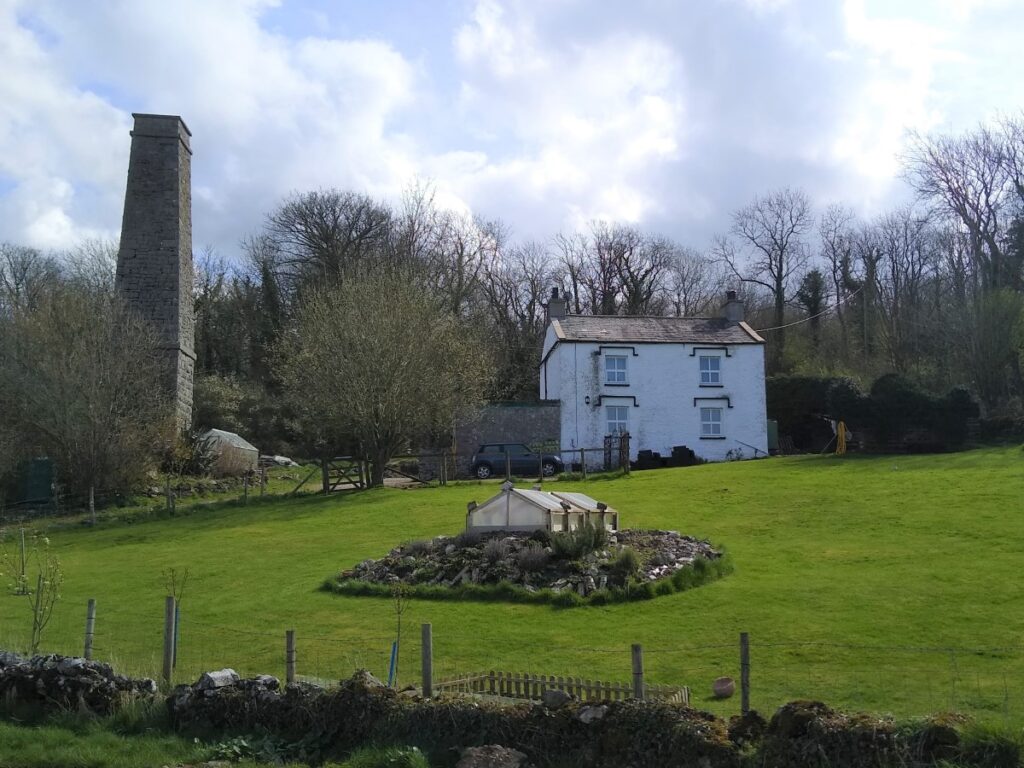
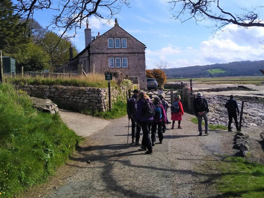
At the road we turn right and head toward the white house and prominent chimney where the road turns right.
We follow the road round to the right and then see smaller road leaving on the left and heading uphill into a wooded area. We take this smaller route.
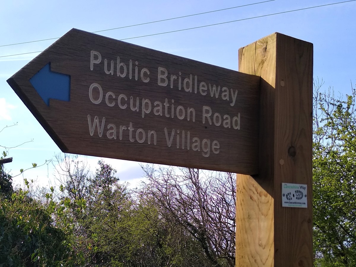
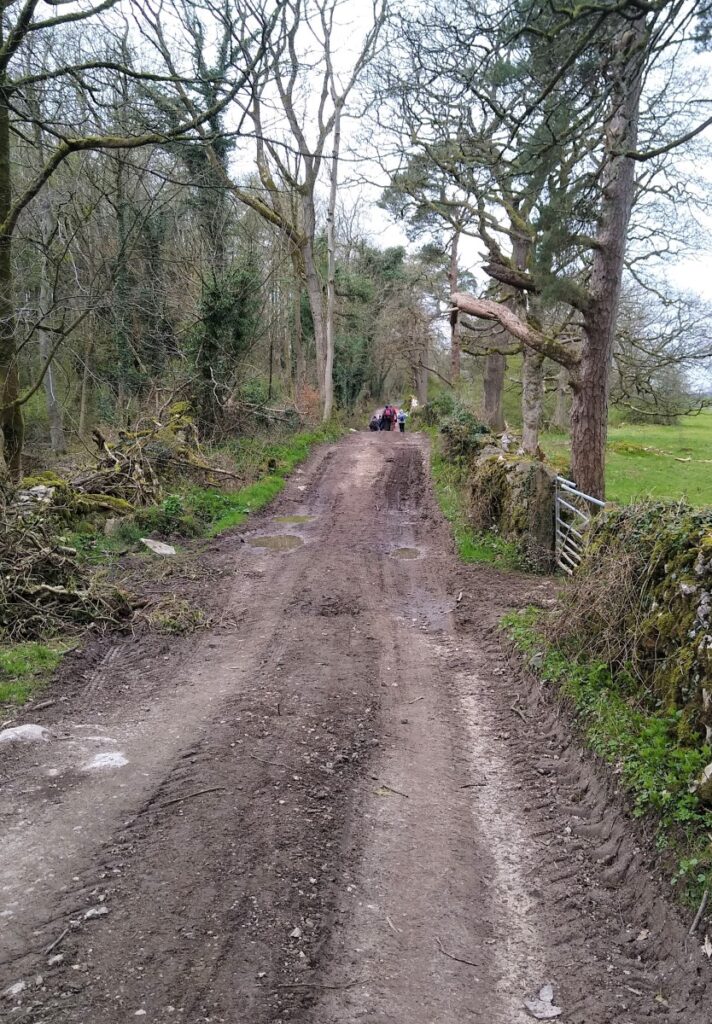
We are not on this road for long before we see a footpath sign on the left directing us up a track known as the Occupation Road. This old pack horse route once gave access to Warton Village and iron ore mining sites called “reddles”.
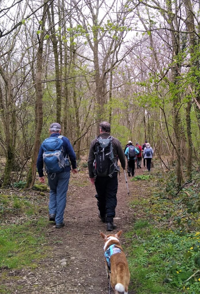
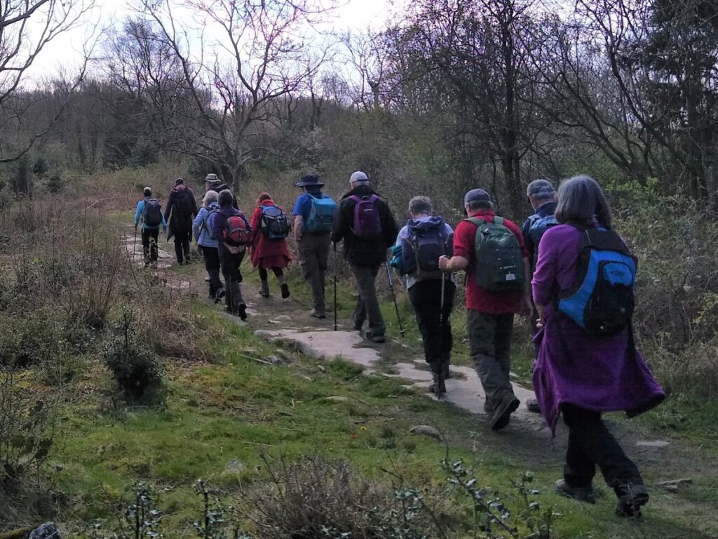
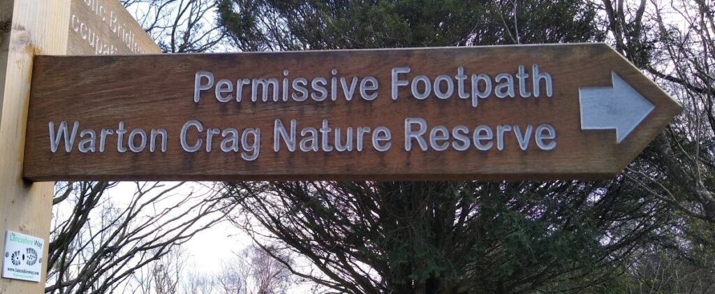
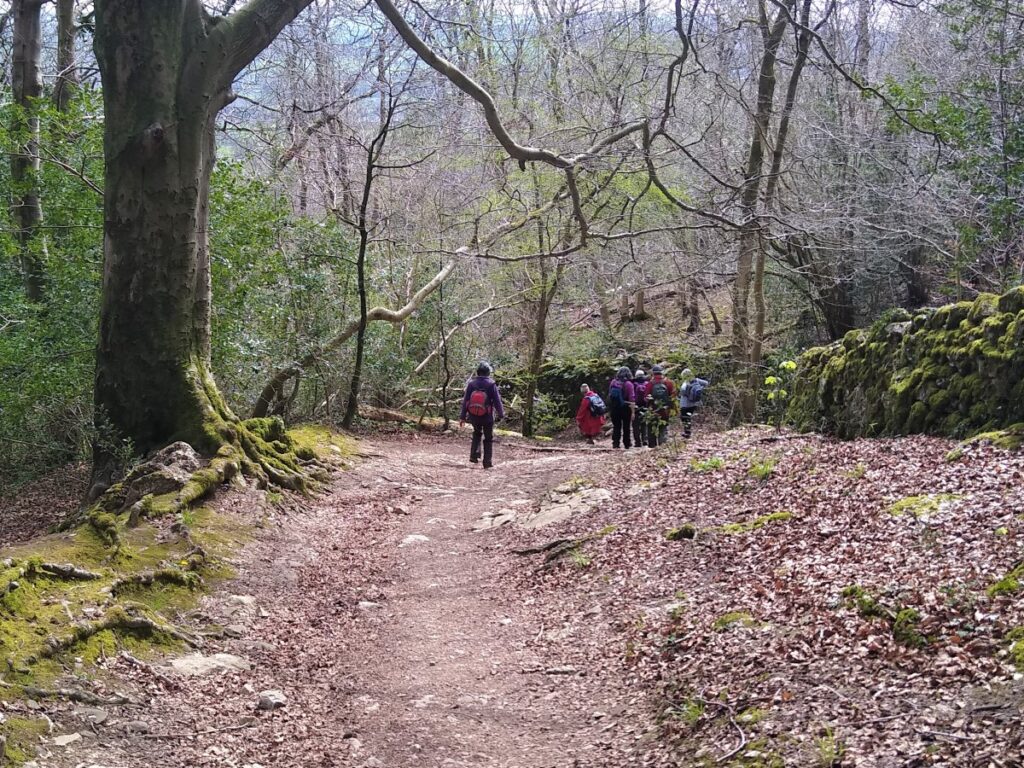
We follow the Occupation Road uphill for a while, keeping an eye open for a permissive path on the right signed for Warton Nature Reserve.
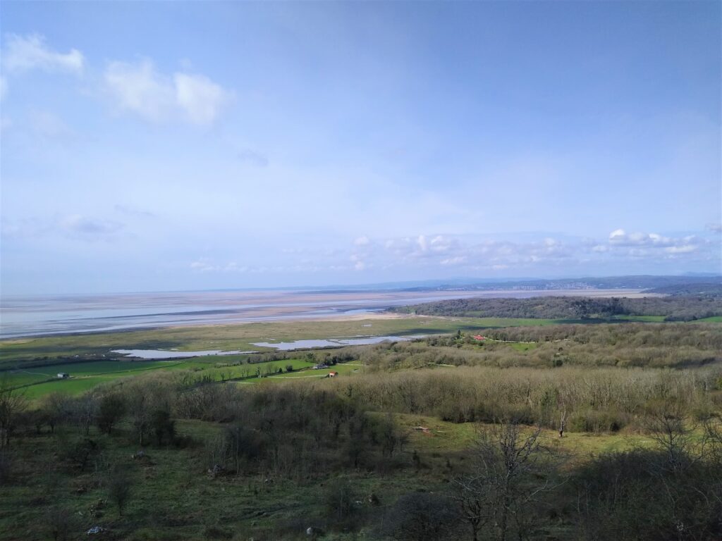
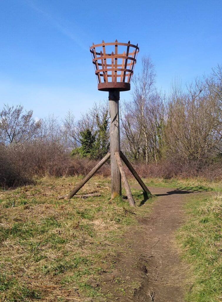
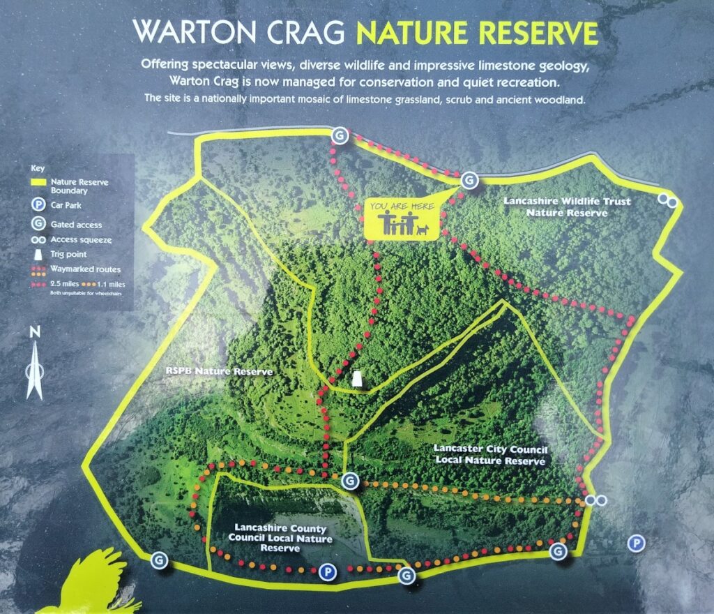
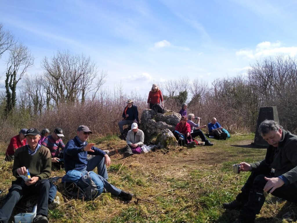
This clear and easily navigated path takes us up through the woods and after a further climb brings us to the peak of Warton Crag where we find the Trig point and the Beacon.
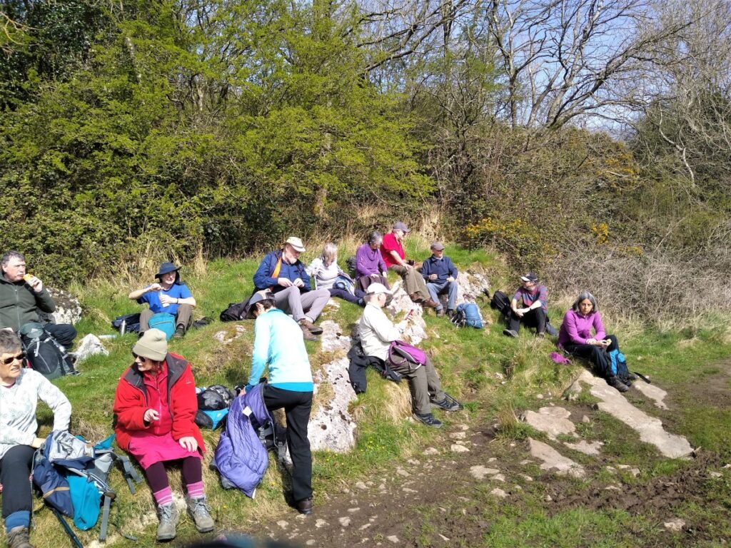
This beacon is a modern replica erected in 1988. The original dated back to 1588 when it celebrated the defeat of the Spanish Armada. This is a good spot for a break – almost all the climbing is done now, and the views over the bay are well worth a moment’s appreciation.
For the return journey, we set out from the trig point along the path heading North East – with views to Ingleborough in the far distance. The path veers round to the left and lower down within the woods it circles round on itself to pick up a broader track which we take to the right and head downhill and back to the Occupation Road.
At the Occupation Road we turn right and follow the track down to the end where we meet a minor road at the top end of Warton village. The Village is attractive and interesting and is well worth visiting – to do so, head downhill – this adds about 2km to this walk.
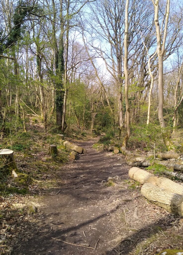
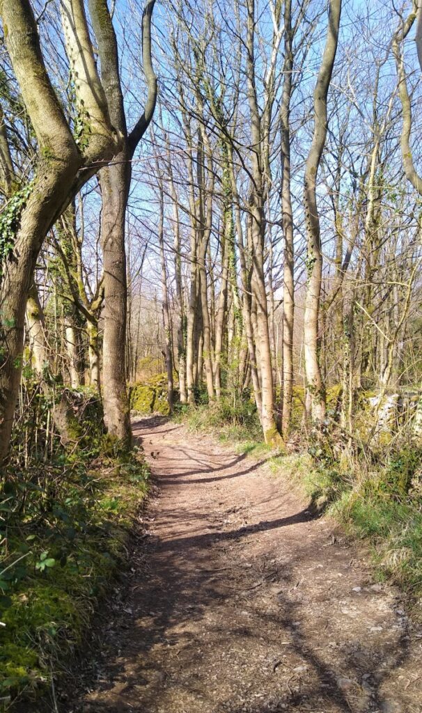
From here, head uphill along the very quiet road until it levels out. Ahead of us the road turns sharp right, and perhaps 100m before this, we see a sign for a path through the woods on the left. We take the path and need to be prepared for some muddy ground if forestry vehicles have been operating.
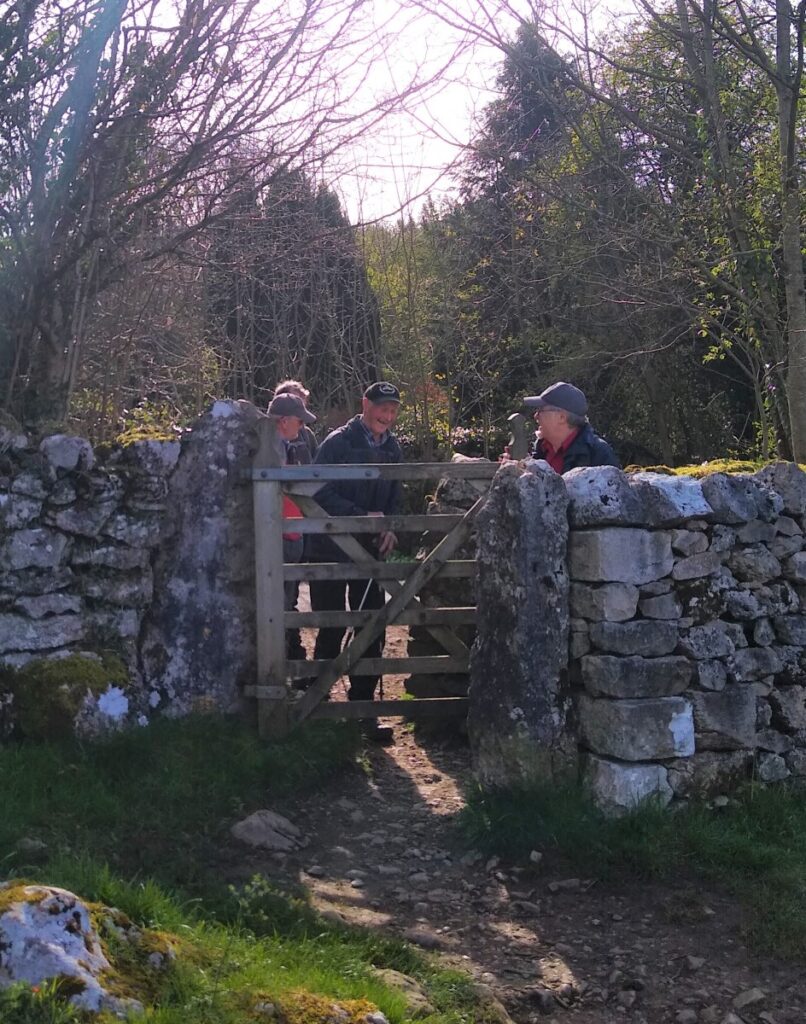
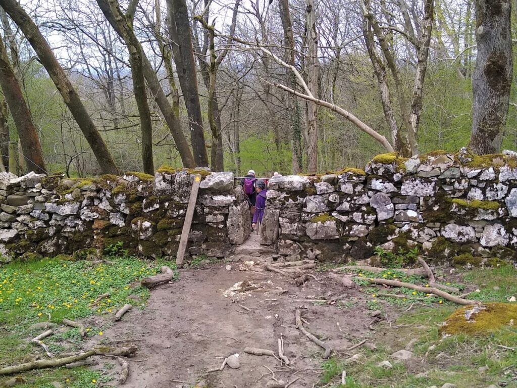
The track continues along fairly flat ground, passing a gate, after which the track peels round to the left with our route carrying straight on through a squeeze stile into a pleasant well managed woodland area.
The route through the woods remains clear and eventually we arrive at a gate onto a lane which we take to the right, heading downhill, now with views over Leighton Moss.
We follow the track round to the left and then through a gate into a further small, wooded area before emerging back onto the lane, where a right turn brings us down to some farm buildings.
We follow the lane round to the left and now see the white cottage and chimney that we passed a good while ago.
From here our route back is essentially a reverse of the outbound leg: We head right along the road for a short while and then take left toward the RSPB and Quakers Stang. We cross the stone bridge and the Stang heading toward the chimney at Jenny Brown’s point, and from there, either reverse our route through the Jack Scout woods, or simply follow the metalled lane back to Gibraltar Farm and the parking area.