Jump to . . .Step by Step | OS Map | Downloads | Gallery | Fly through
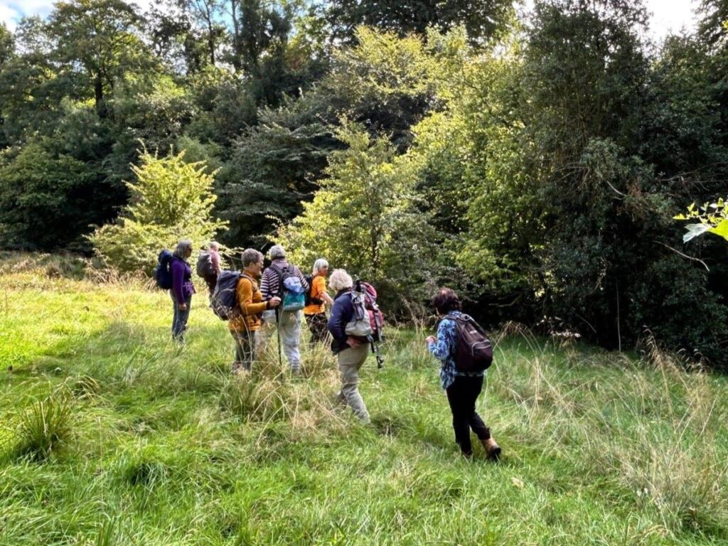
Bentham Footpath Group have started a number of very enjoyable walks from the villages around Clitheroe, and we generally find that they offer quieter, less crowded routes than some of the honeypot walks in the Yorkshire Dales and the Lakes.
Why are they quieter though? They are after all no harder to get to, they are no less scenic, they offer equally good views and provide lots of historical interest.
All we can think of is that the Forest of Bowland cannot match the “brand awareness” that the Dales and the Lakes have mastered. And perhaps that’s no bad thing – enjoying a day’s walk without needing to worry about finding a parking place or walking in a crocodile of tourists is a real pleasure, so let’s try and keep the Forest of Bowland “undiscovered”. So, do this walk by all means . . . but don’t tell anyone else.
- Total distance 12.7 km (7.9 miles)
- Total ascent 212 m
- Moderate walk
Step-by-Step
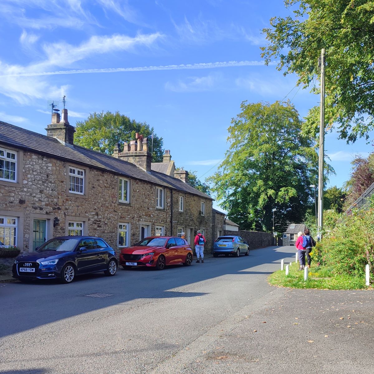
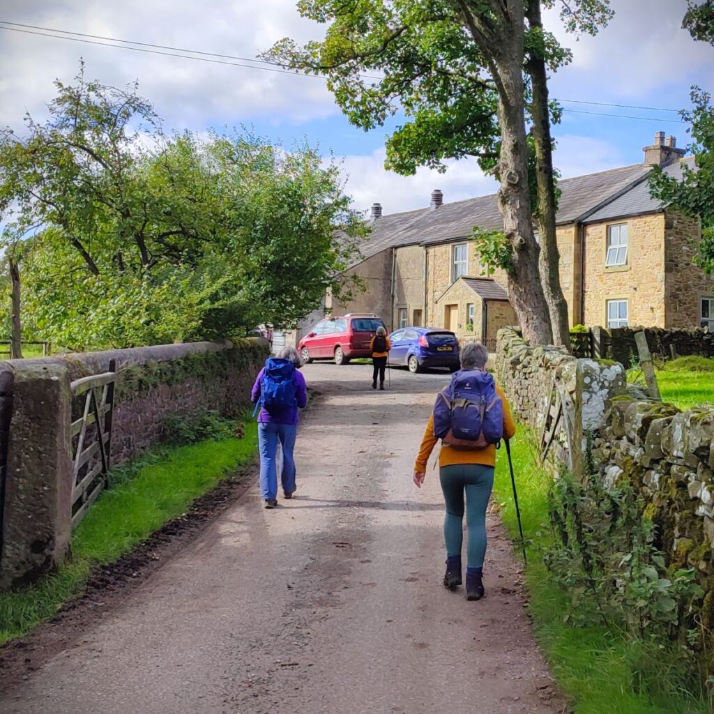
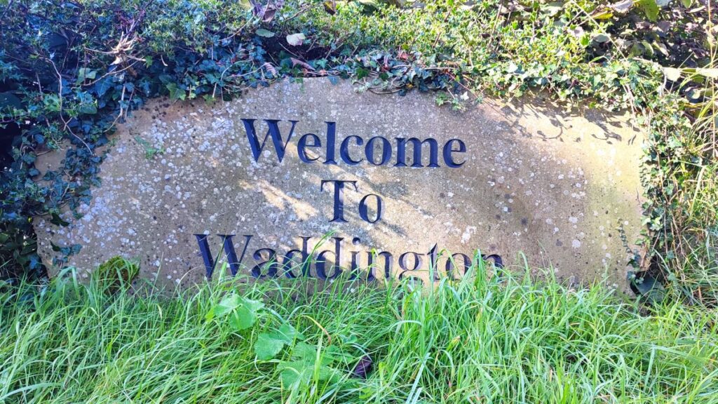
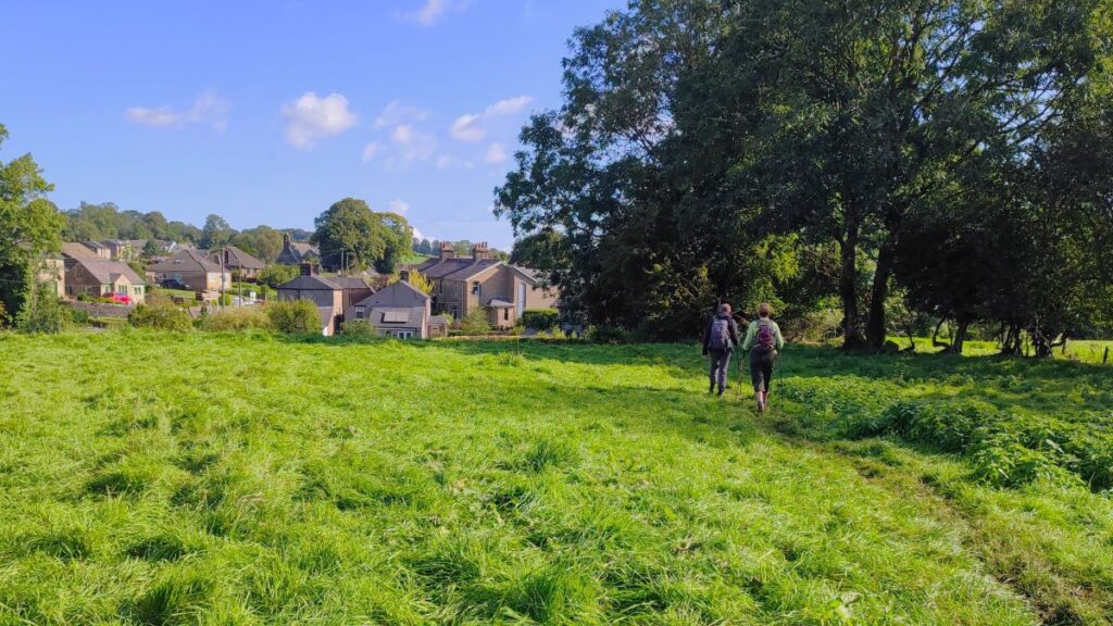
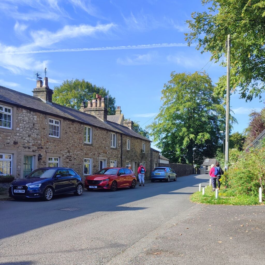
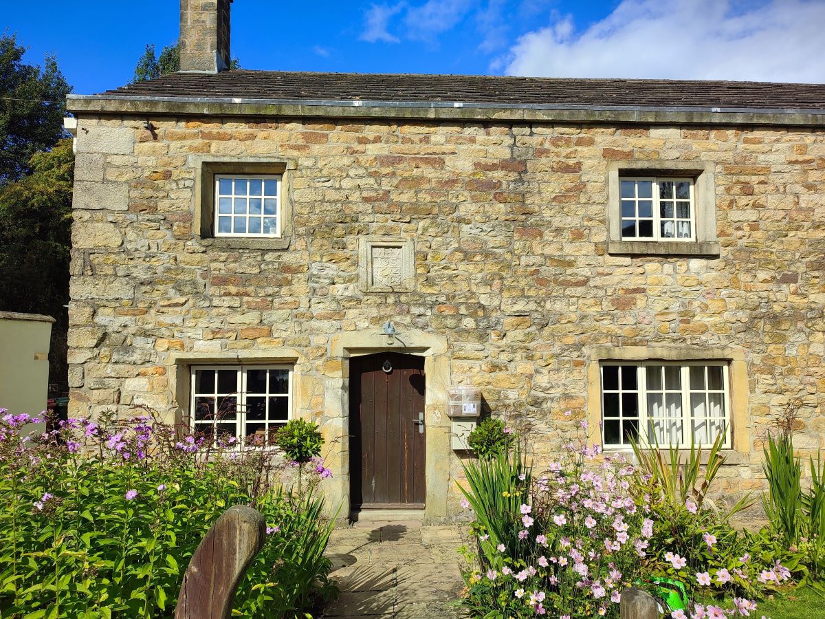
We start at Waddington – a rather lovely village that is a frequent winner of Lancashire’s Best Kept Village Award. Waddington is now a tranquil place boasting a babbling brook, coronation gardens and a couple of cracking pubs with excellent food. Its history is more turbulent though, particularly at Waddington Hall, where during the War of the Roses, King Henry VI was sheltered by Lancastrian supporters including Sir Richard Tempest. He was betrayed by “a black monk of Addington” and on 13th July 1465, a group of Yorkist men, including Sir Richard’s brother John, entered the home to arrest him. Henry fled into nearby woods but was later captured. Overall, this is an interesting village well worth exploring.
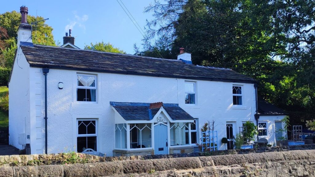
There is ample roadside parking available in Waddington – we opted to start by the Alms-houses on the West Bradford Road. The postcode for your Satnav is BB7 3HP, and the What-3-Words tag is undivided.blossom.appealing . If you are using a paper map, then the grid reference is SD72974400.
Click here to access the Visit Ribble Valley website, here for the Visit Lancashire website pages for Waddington, or here for a Wikipedia article
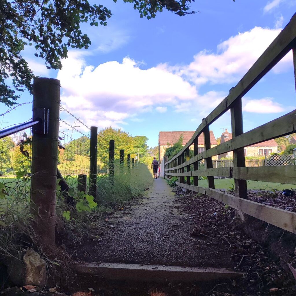
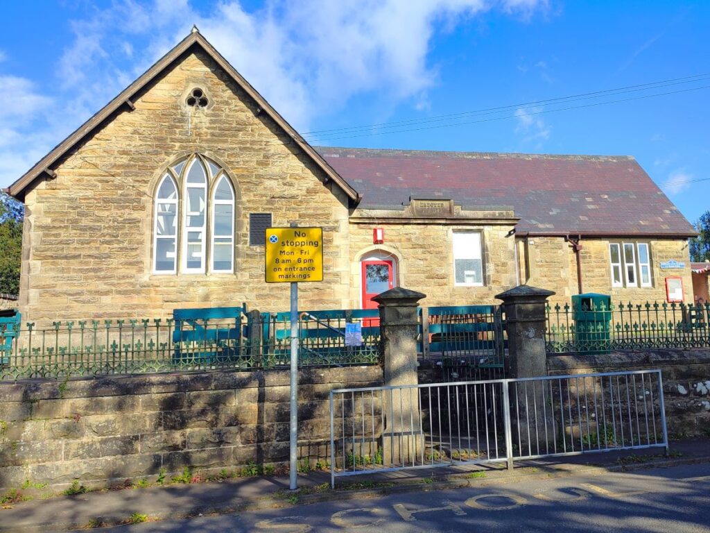
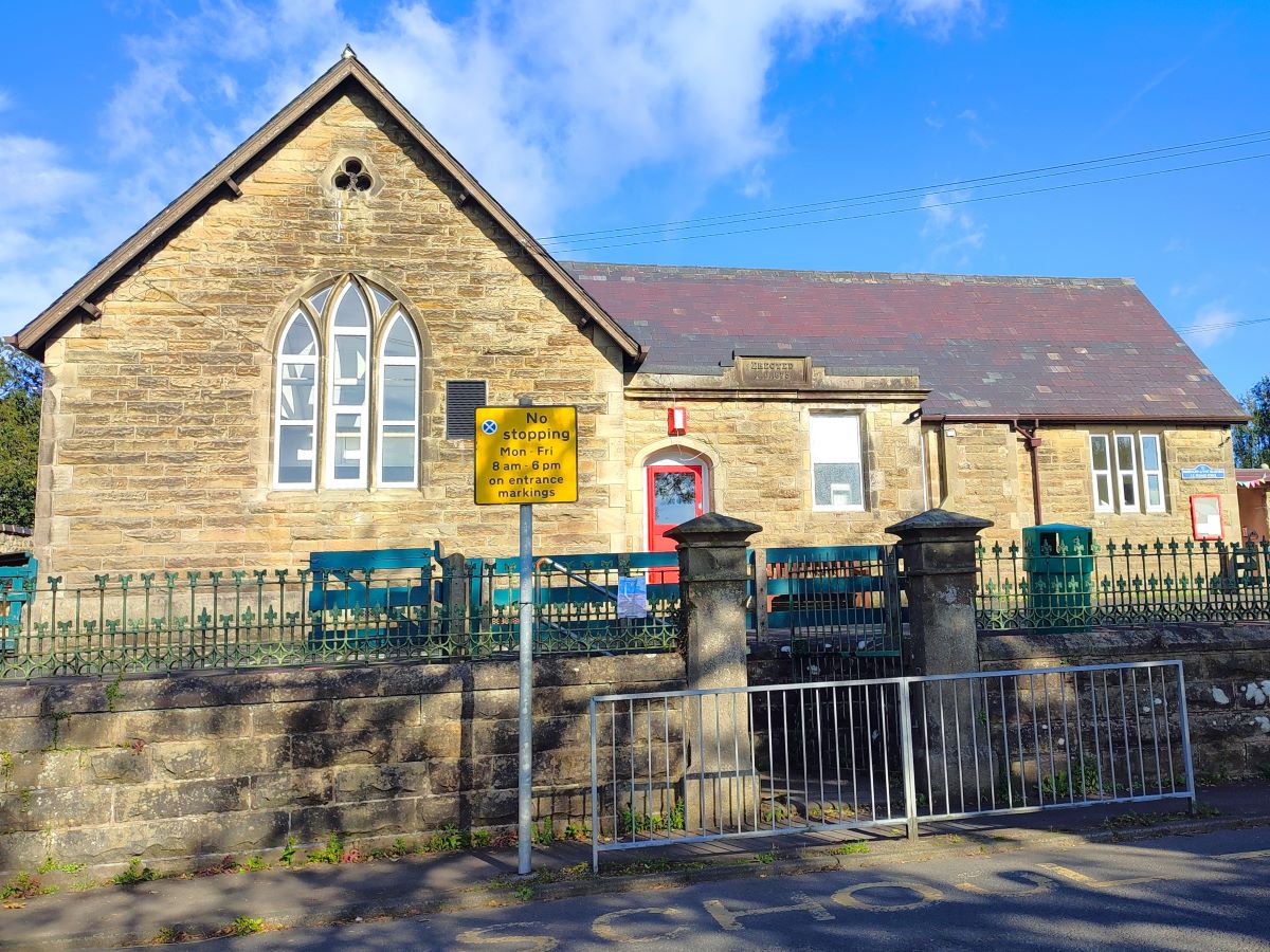
From the parking place we head out of the village on the West Bradford road, walking along the pavement for 400m passing well kept gardens, to arrive at Waddington and West Bradford CE Primary school – housed in a lovely stone building.
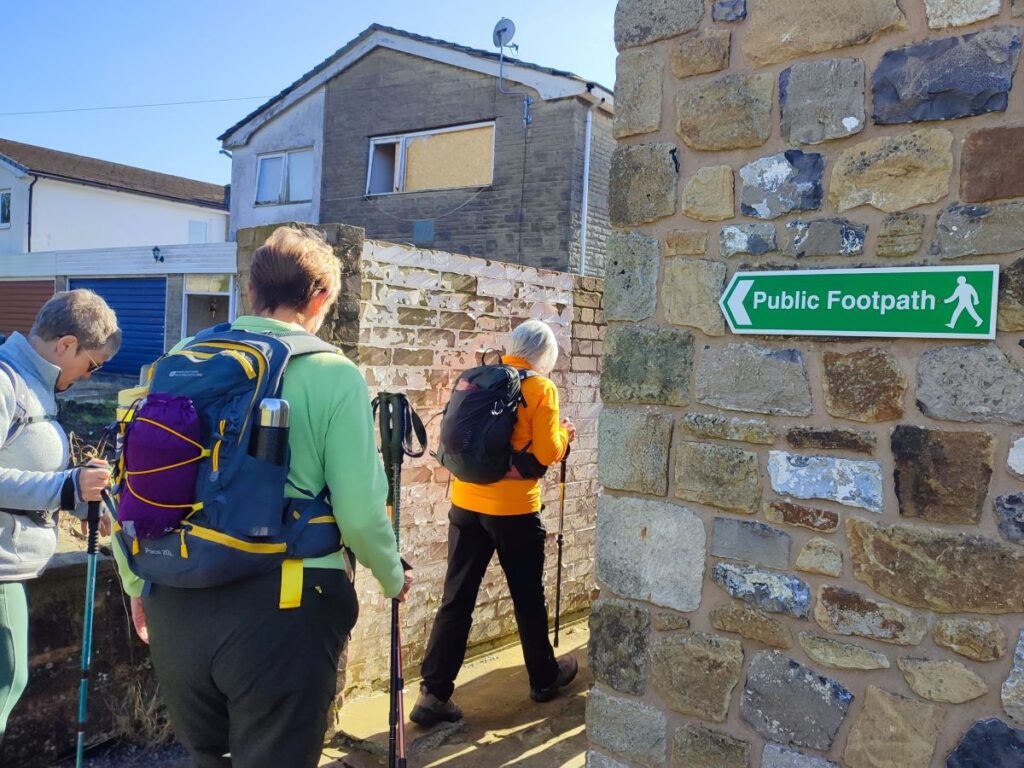
Once at the school look to the opposite side of the road and note that there are two signed public footpaths. We need to take the one that is slightly further away from Waddington, and which passes through a small gap between buildings before arriving at open fields and a stile.
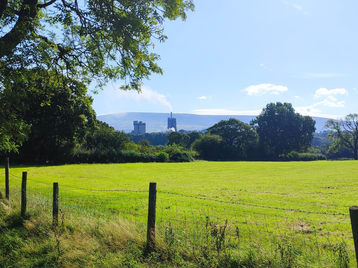
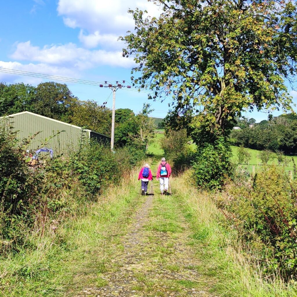
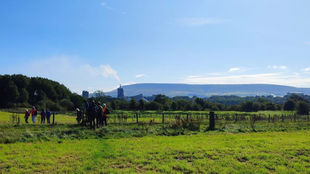
From here we take a clear and obvious path across the field aiming for the castle like profile of the Ribblesdale cement works at Clitheroe. There is no disguising this huge industrial complex, which produces more than 1 million tonnes of cement per annum. Most of the visible infrastructure is associated with the dry kilns and the gas scrubbing systems which reduce emissions – what is much less apparent from our current viewpoint is that the limestone from which the cement is made is also sourced at two on-site quarries – Lanehead and Bellman, which have been screened by thousands of trees and elevated banks to shield the view from neighbouring properties. To see just how vast these works are, have a look at the “flythrough” on the website.
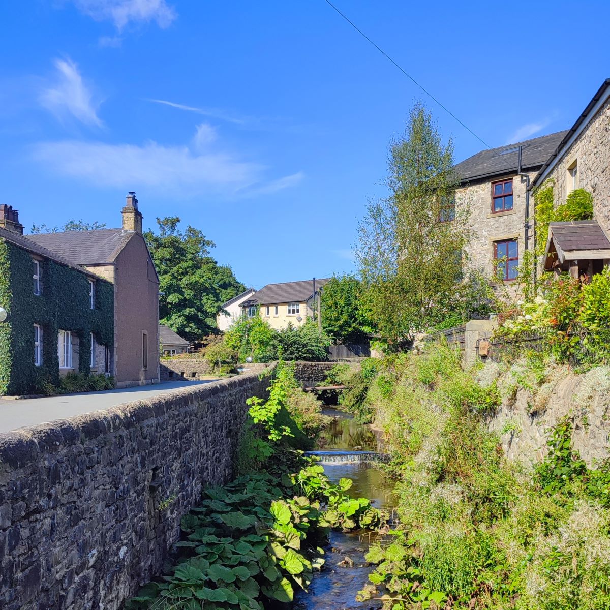
Our path across the fields goes via a series of stiles heading northeast toward West Bradford, and eventually arrives at the village just to the right of an attractive farmhouse. From here the path turns hard right and follows a narrow lane down the side of a small stream. After about 100m we arrive at a more open area at the end of a short street coming up from the main road through the village, and we follow that street down to that road. Once there we turn right and follow the path of Drakehouse Brook downstream for about 200m.
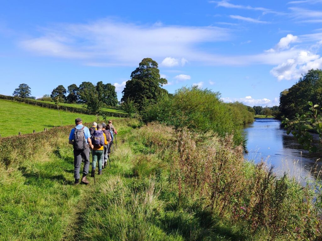
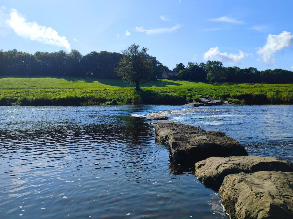
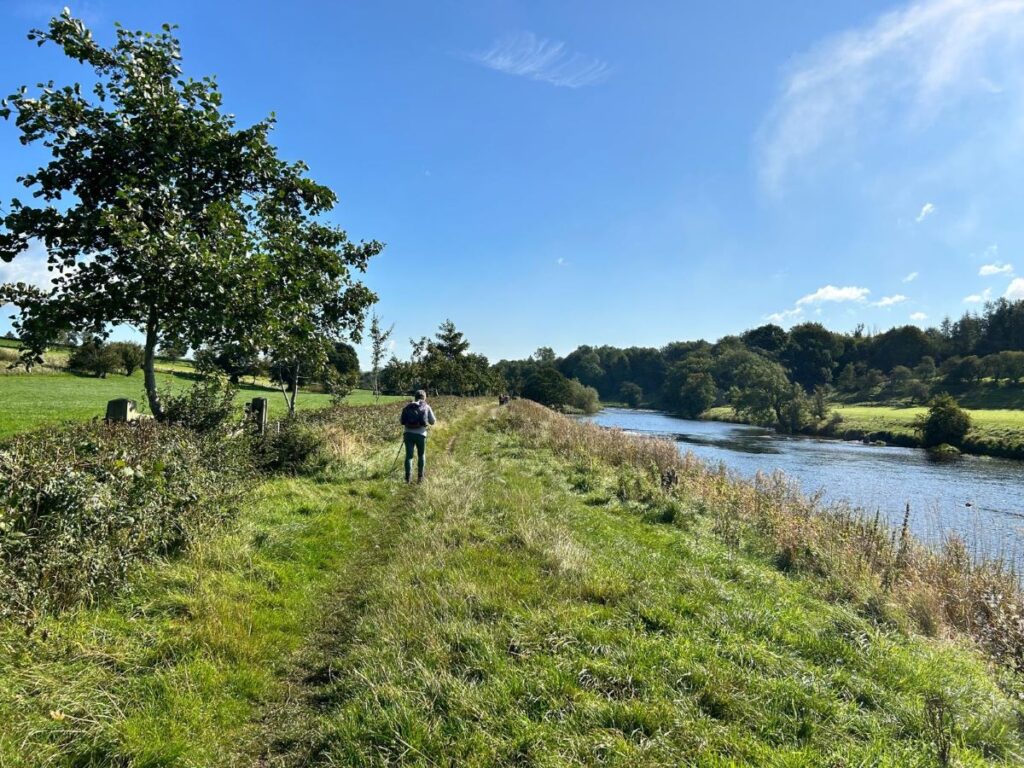
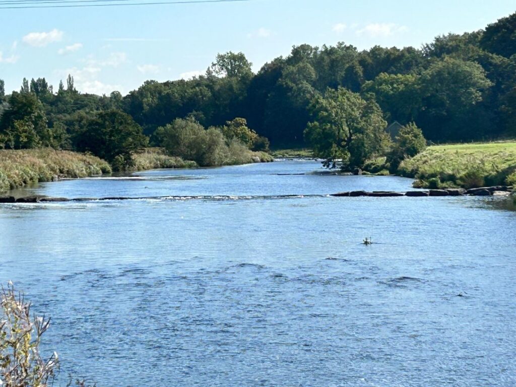
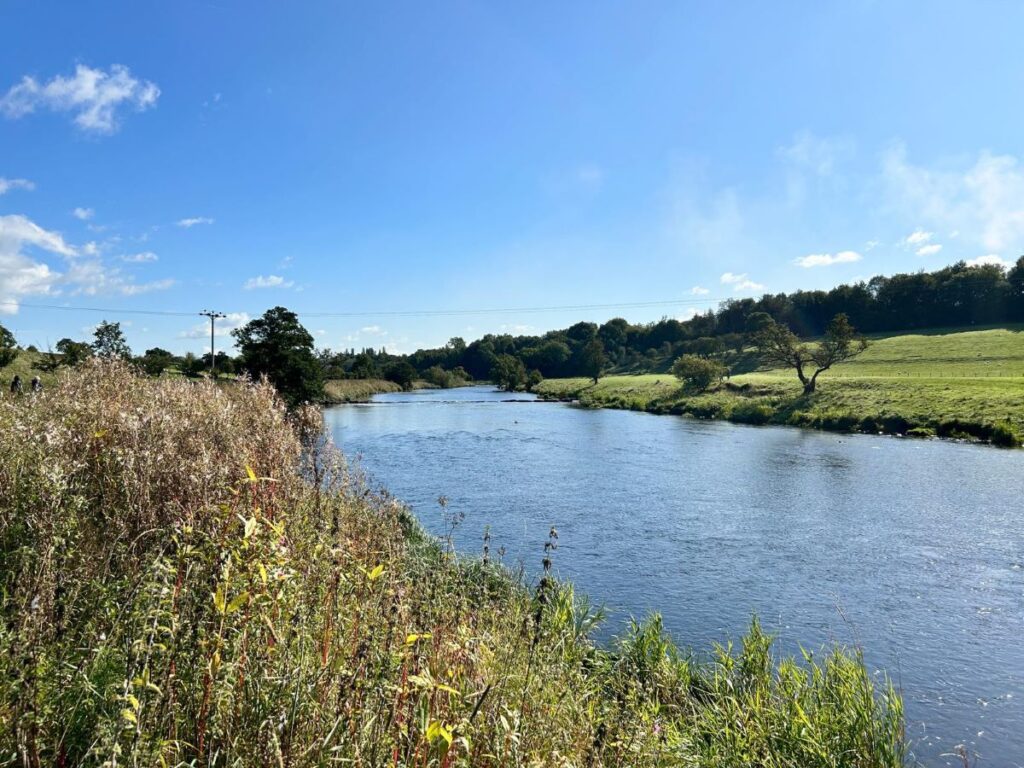
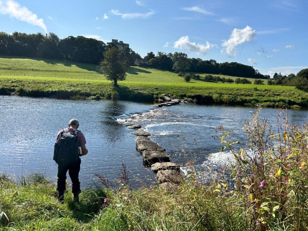
As the road leaves the village, we need to look left to find a gate onto a riverside path which follows the banks of the Ribble upstream for a while. There are paths on both sides of the river, and it’s important to note that we do not cross the Ribble at Bradford bridge – we stay on the West Bradford side of the river.
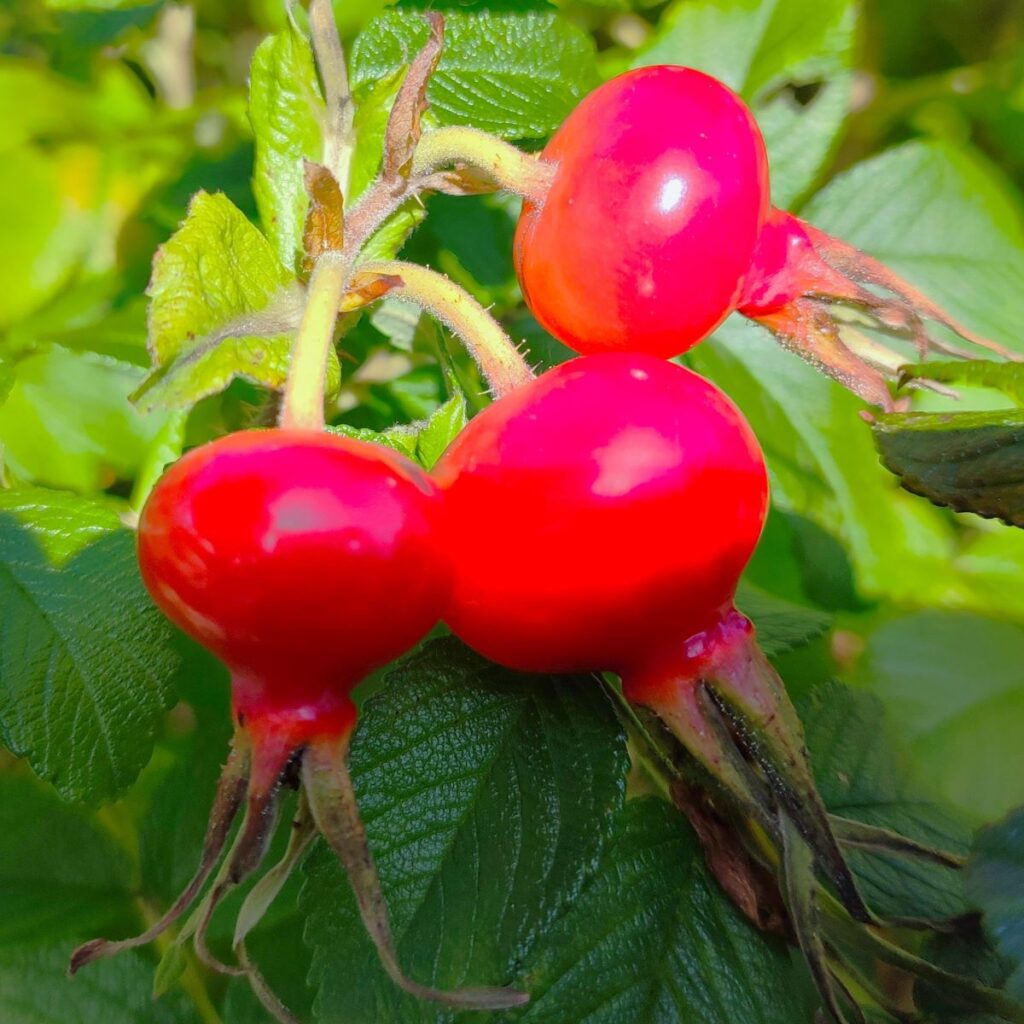
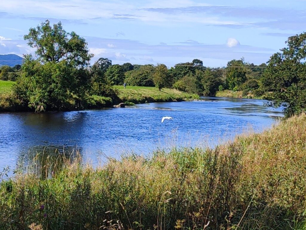
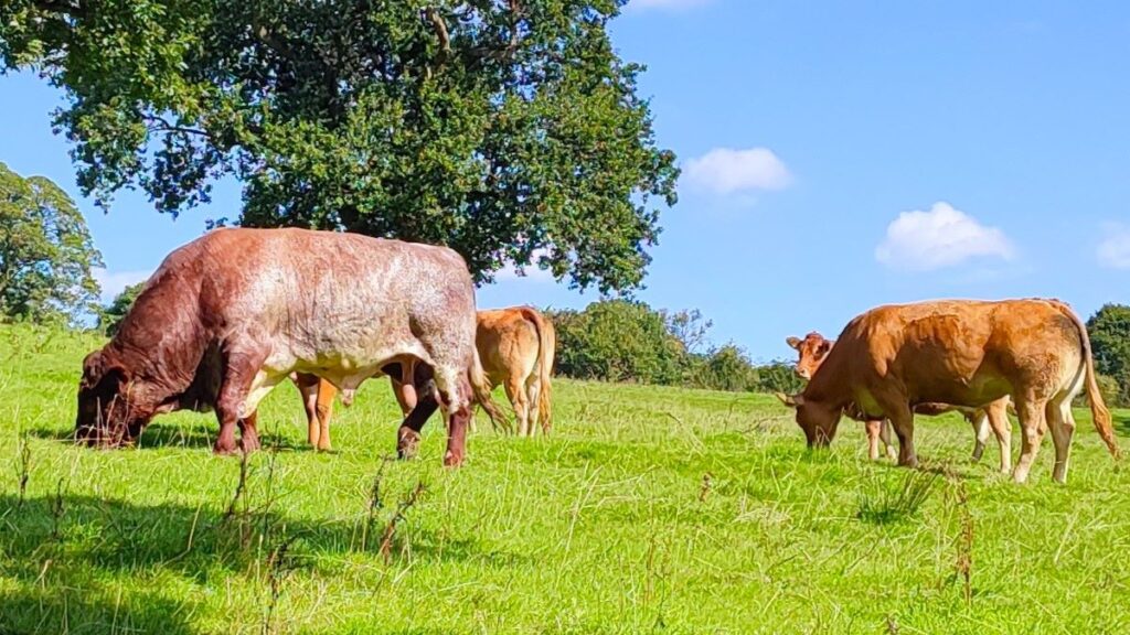
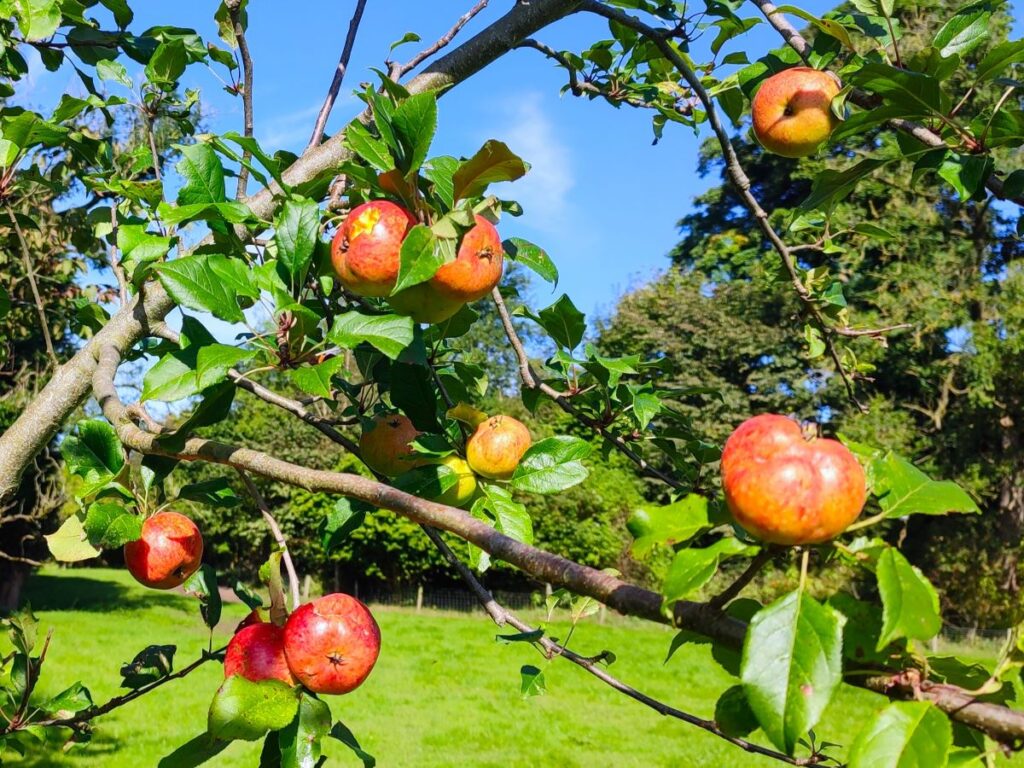
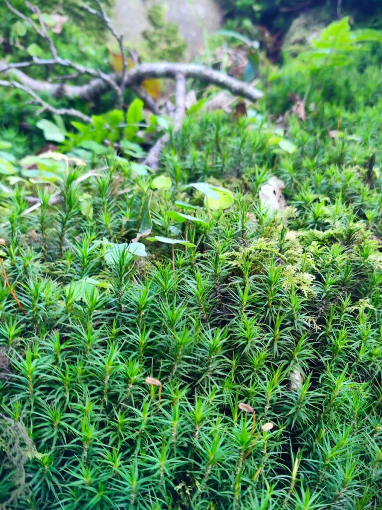
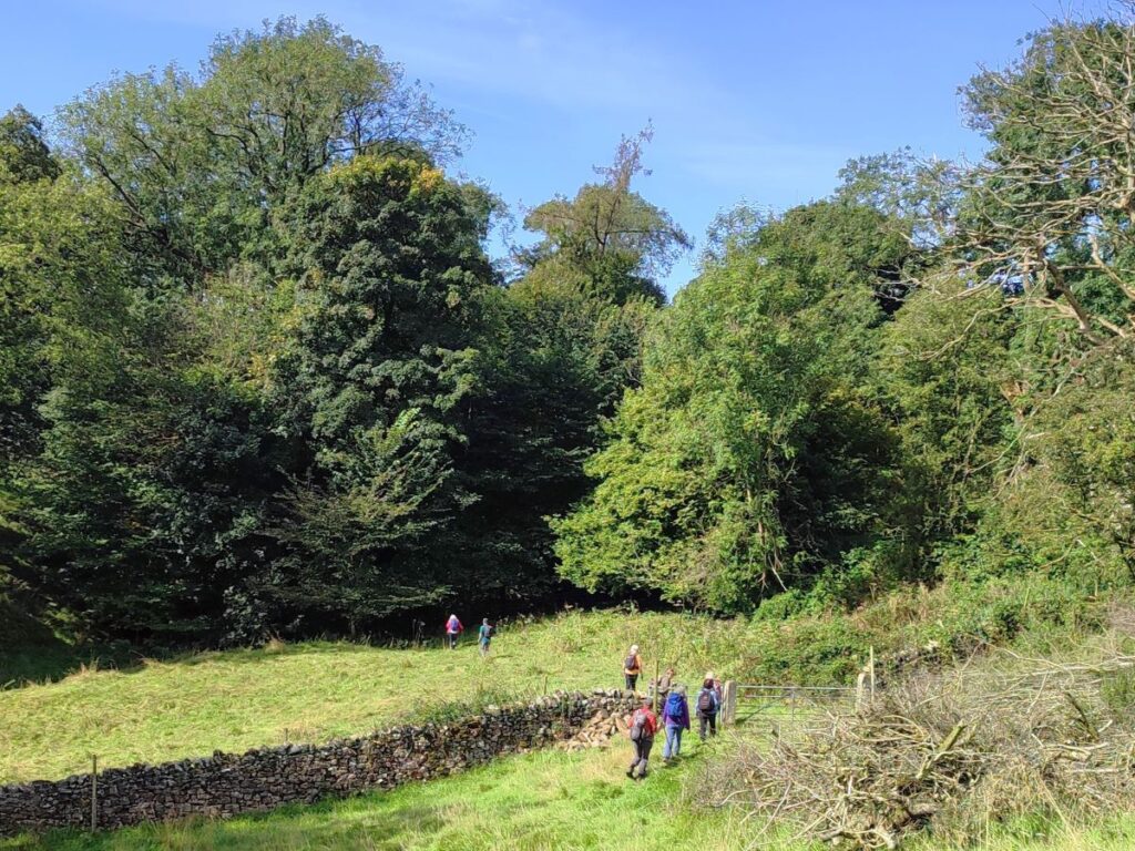
We keep to the riverside path for about a mile now, enjoying good views up and down the river with the water cascading over a series of weirs. Look out for herons and egrets along here, and perhaps enjoy an apple from one of several trees that grow in the hedgerow presumably seeding from a core discarded long ago.
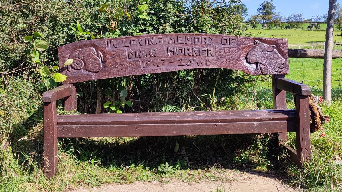
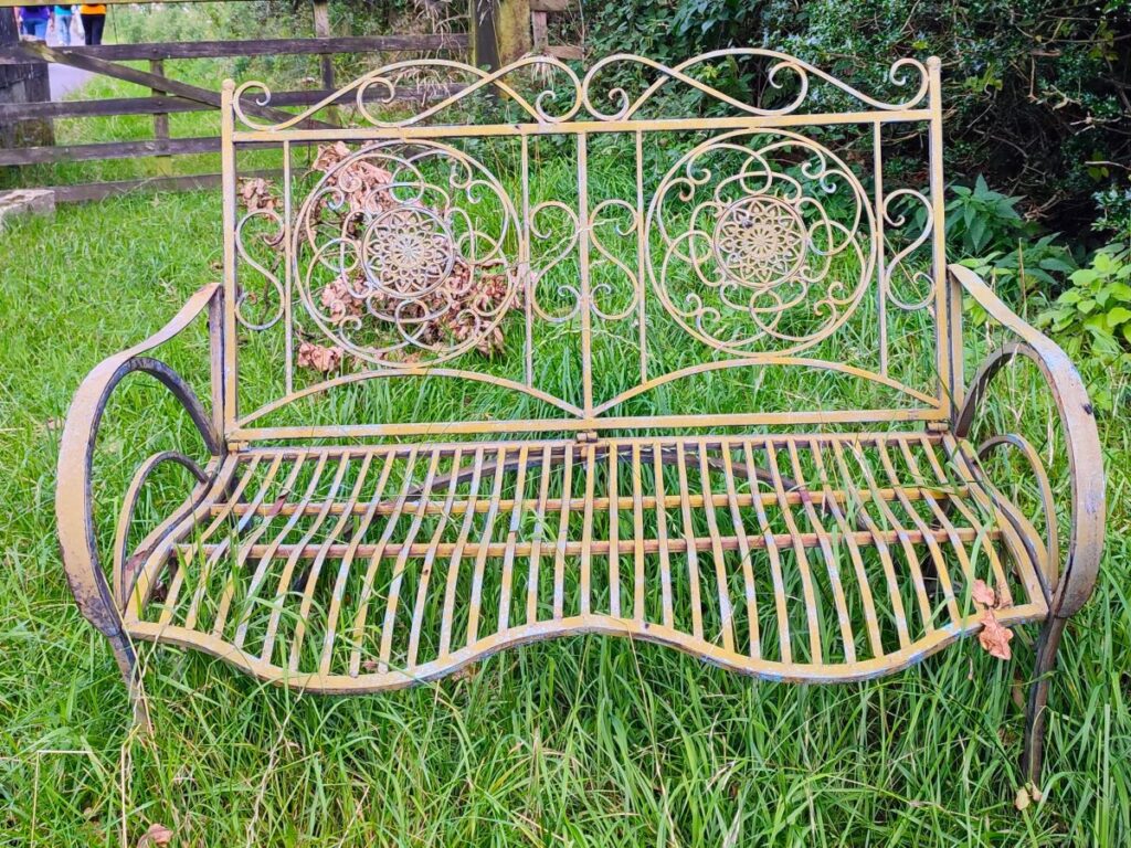
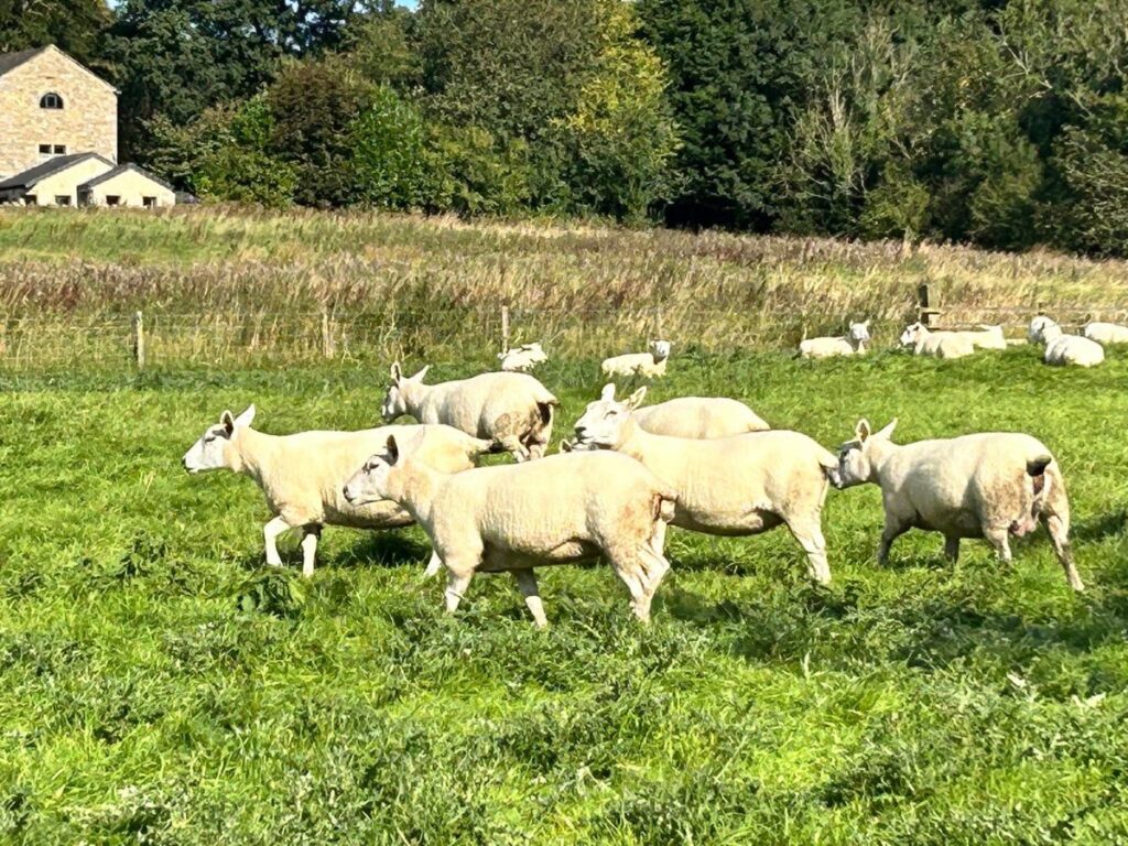
Part way along the riverside section we note a memorial bench for Mary Horner. This is decorated with a mule gimmer to the right – a gimmer is a female sheep in her second year who has not yet had her first lamb, whilst mule denotes the breed. The North of England Mule is a popular commercial sheep breed in the UK and is a cross between a Blue faced Leicester tup (ram) and a Swaledale or Northumberland type Blackface ewe. The carving to the left is of a Swaledale Tup, so Mary was obviously involved in sheep farming, and one of our walking group recalls Mary sharpening shears for them. Searching for the name online also suggests that Mary Horner was a prominent campaigner against pollution from the cement works – their environmental standards were not always as high as they are now, and there were significant concerns about the plume from the kilns “grounding” in the Ribble valley at one time.
We continue on the left bank of the Ribble, passing a wastewater treatment works, and eventually arriving at a turning on the left onto a narrow path up toward a cluster of houses. We follow this to the top where we meet a small road and then turn left to walk on the road for about 200m.
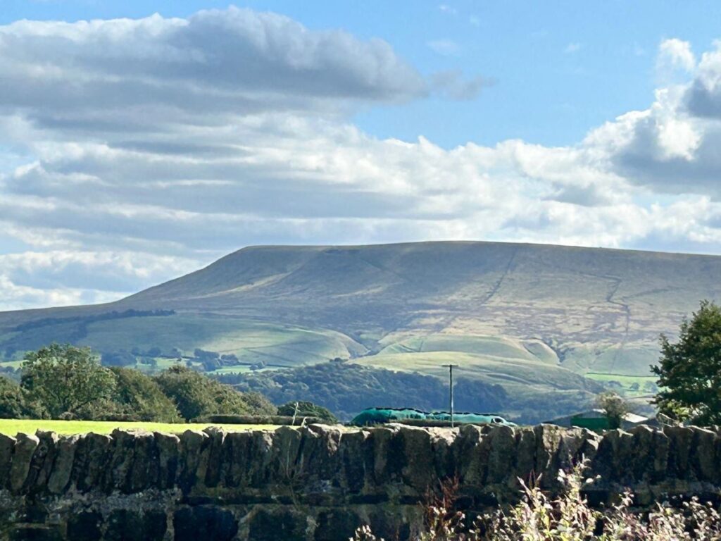
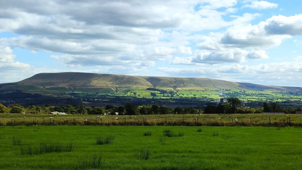
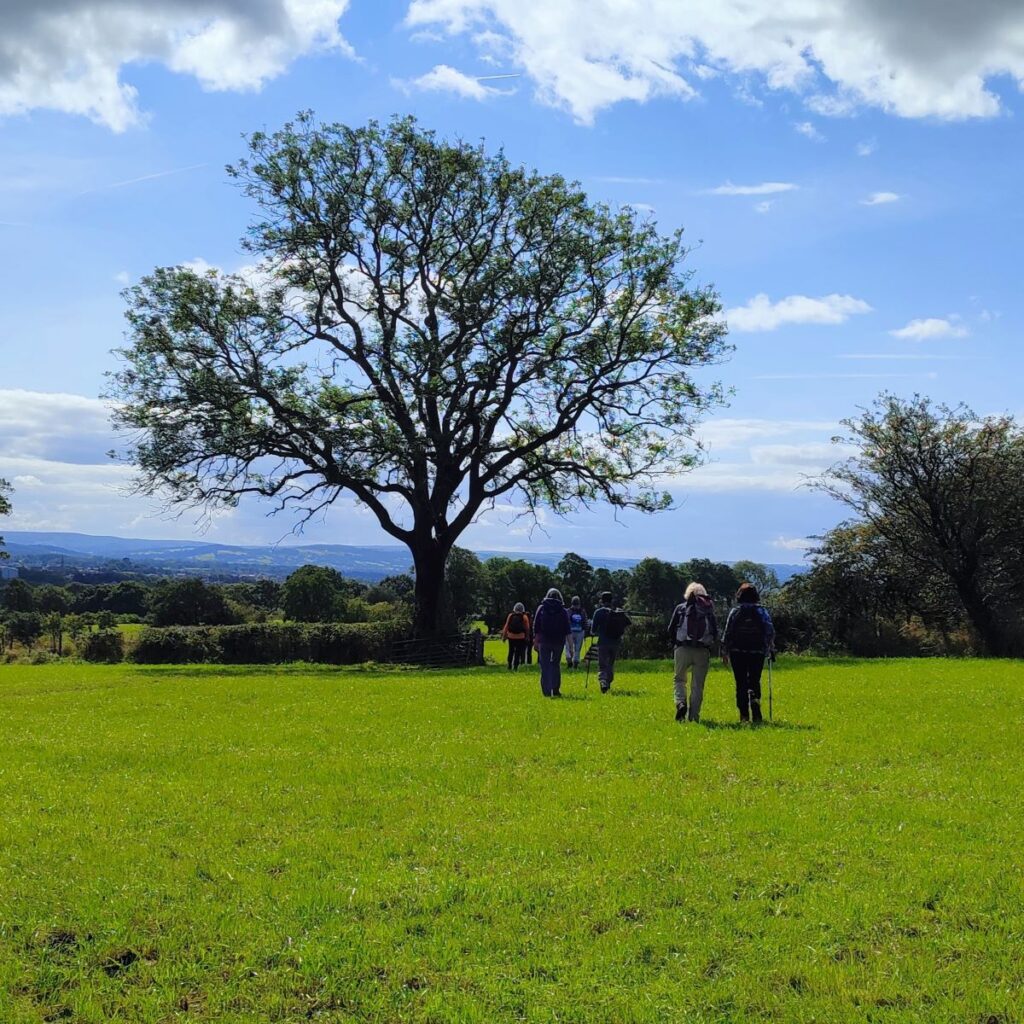
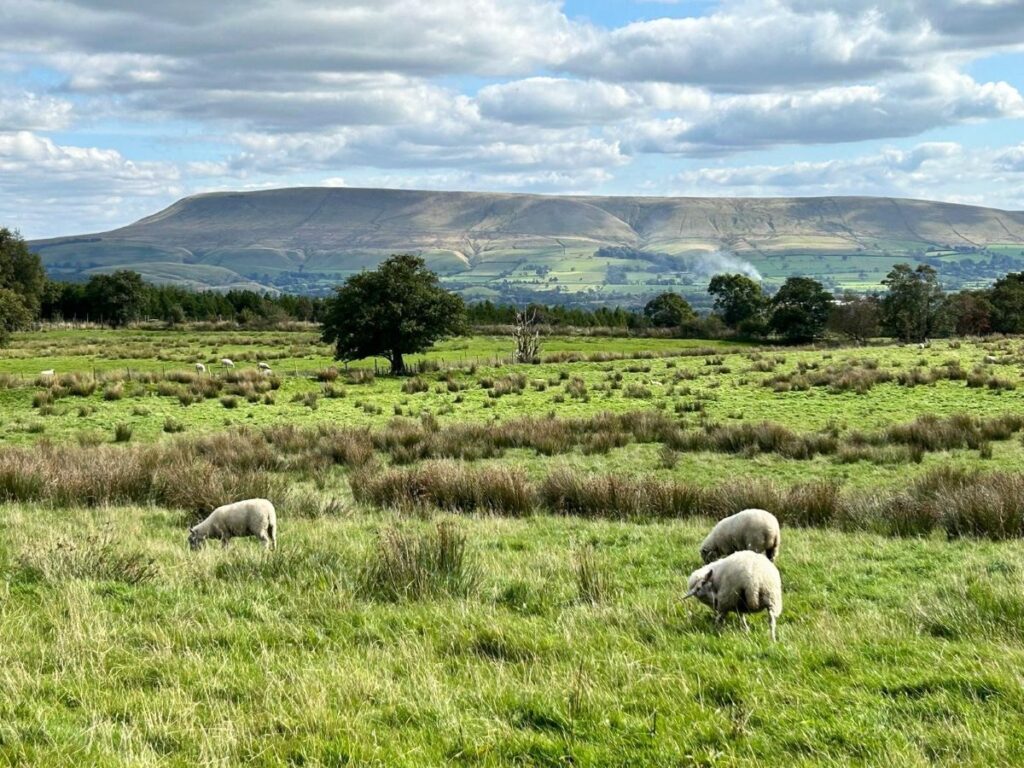
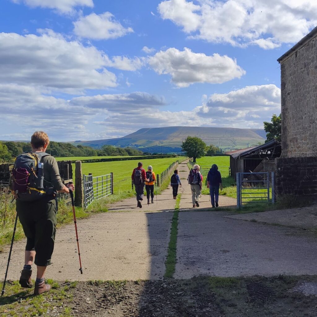
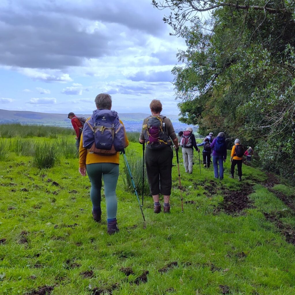
Our next landmark is a metalled lane on the right which takes us uphill past a house and onward for the next 150m, when the road passes to the right of a farm before taking a slight left / right dogleg then continuing uphill. About 120m further on the there is a fork – we need to keep right – perhaps pausing to enjoy the views over to Pendle Hill which are particularly good here.
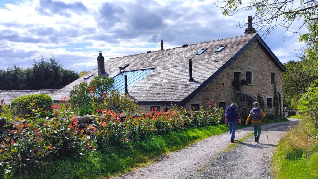
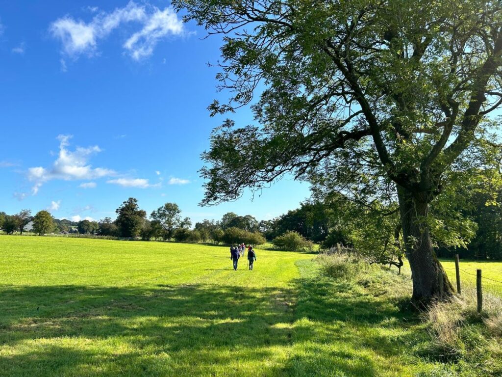
We press on and note that the metalled track becomes a rougher farm track. We stay on this track for the next 500m until it comes round to the right and we see a large farm ahead – this is White Hall farm. We pass the large barns on the right and then 100m later look for a gate on the left in the corner of a field.

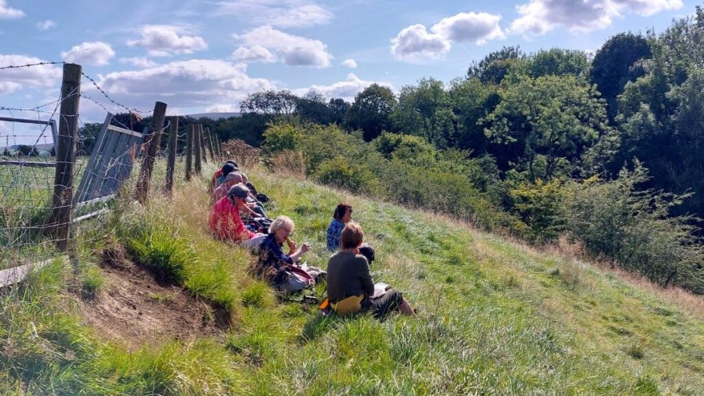
Once in the field, we need to head for the opposite corner, where there is a second gate – this is not initially visible but will become so as we approach the far corner. At that second gate we are close to the side of the small valley carved by the West Clough Brook. The steep bank is a well-drained, making it a good place to pause for lunch.
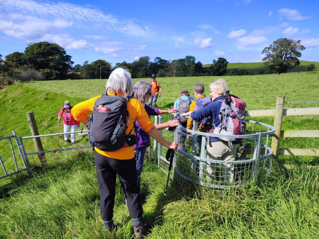
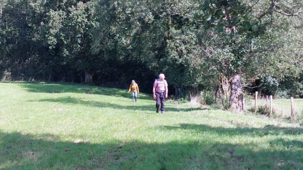
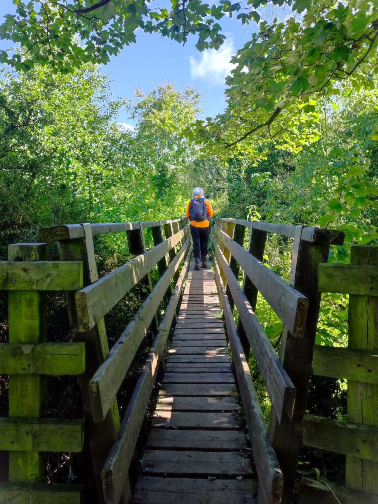
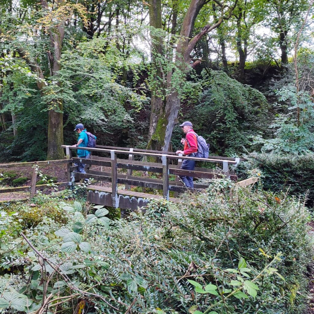
We are now about halfway round the walk, and to start the second part, we continue in the same direction that we took across the first large field. This soon crosses a smaller flat field and then goes downhill toward a drystone wall and gate where we enter the woodland that grows along the line of the West Clough Brook. That path crosses a footbridge and then climbs up the other side of the valley passing through a series of newish metal kissing gates to arrive at flat meadows on the far side, and at this point our path continues along the field boundary toward the farm buildings that we see ahead – this is Lowcocks.
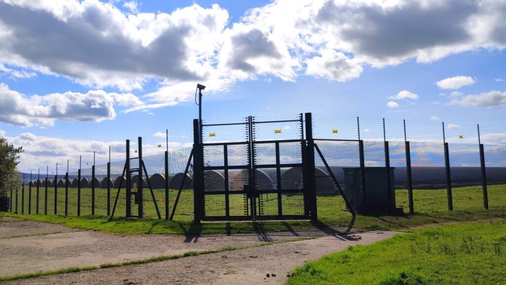
As we approach, we look for a footpath sign that takes us sharp left and down a concrete track toward a strange looking structure with very tight security – we might assume that we are approaching a prison, or perhaps a nuclear weapons site, but the OS map tell us that this is just a water storage reservoir.
The path runs round the facility so aim for the left of the reservoir as it comes into view and then head right at the next corner to pick up the footpath signs as they head out along the line of the hedgerow. The route at this point is clear on the ground and crosses four fields as we head down to a minor road at Brocklehurst – the surface was good on the dry day that we undertook this walk but looks as if it could be a bit boggy when wet. Another thing to be aware of here is that there are a number of disused stiles partially buried in the hedgerow – don’t think that these are part of the route – there is no jungle clearance required for the correct path.

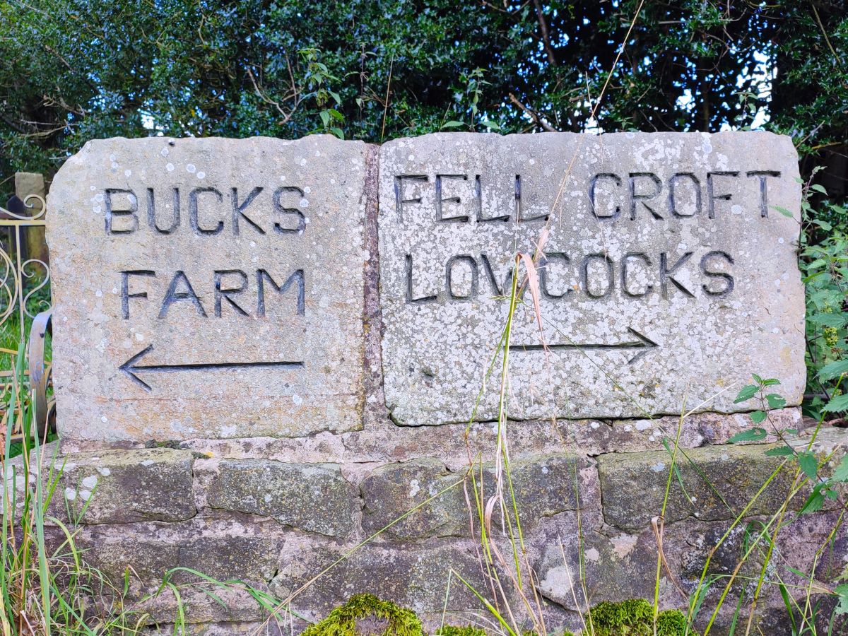
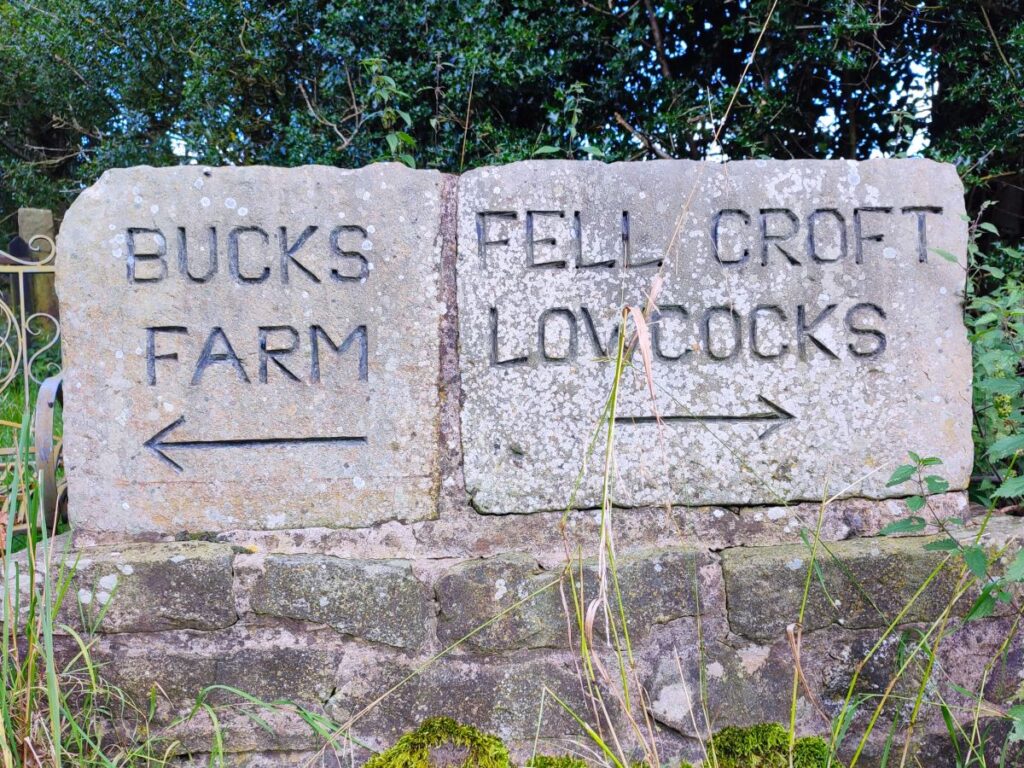
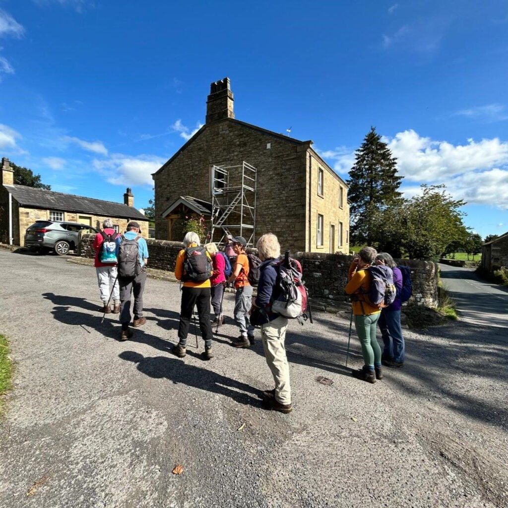
Once we arrive at the minor road at Brocklehurst, we turn right and head gently uphill along the road for about 400 m until we arrive at a junction signposted for Bucks Farm or Fell Croft and Lowcocks. We go left toward Bucks farm, taking us over a cattle grid and then up a well made track for a while.
After 100m, the road bears left, and we stay with it. There is a bridleway which continues straight, but that’s not our route today.
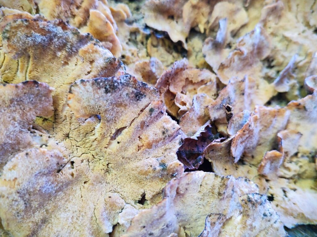
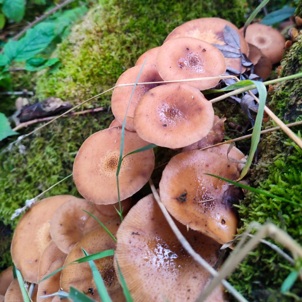
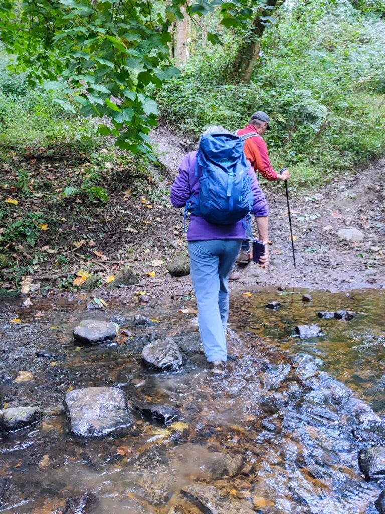
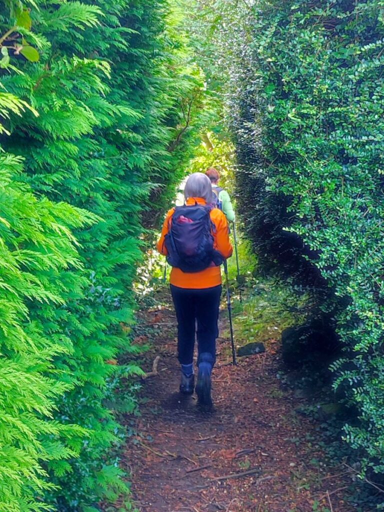
As the track continues, we again have great views of Pendle hill to our left, and we enjoy these as we approach Bucks Farm, where we pass in front of the buildings and then see a gate ahead accessing a lane heading west toward woodland. Once we arrive at the woods, the path takes a somewhat winding route but remains clear – this is a great place to find interesting fungi on the fallen boughs. It is worth noting here that the path through the woods involves fording a minor stream – not an issue on the day we took this route but potentially more problematic after heavy rain.
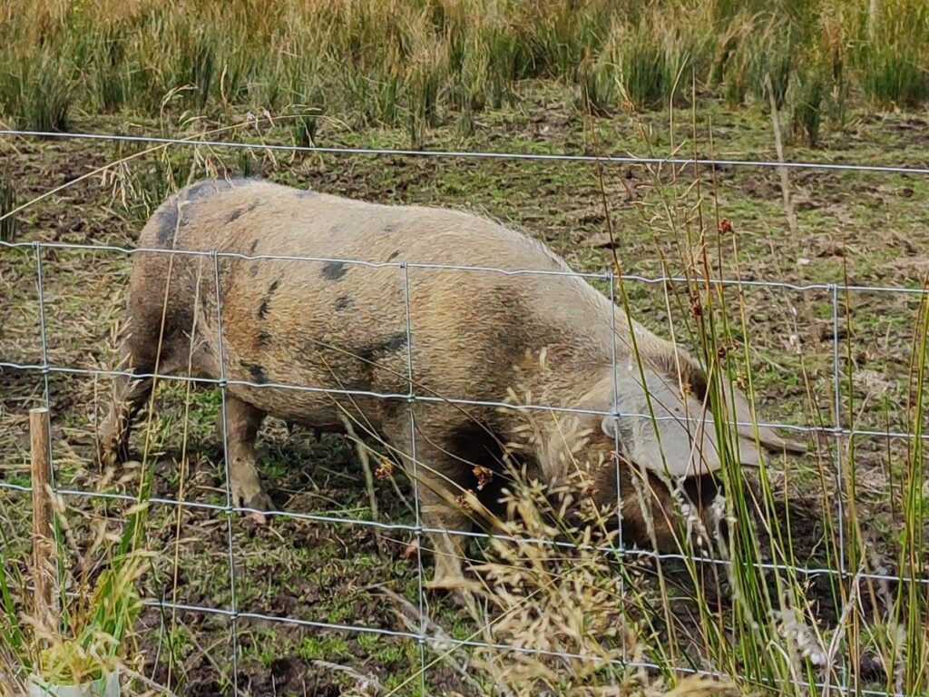
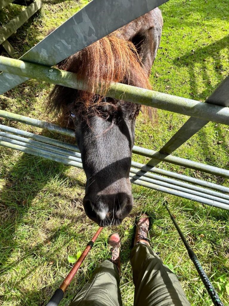
Once clear of the woods, the path crosses three fields before arriving just 400m later at a minor road – we head right at this point, before taking a sharp left just 50 m later to pick up a track heading west toward Seedalls Farm and Mill Farm. Of interest along here was a field of free range pigs – a relatively uncommon sight in this part of the world, and a field with a very friendly pony. We stay on this track for 500m, until we get to Mill Farm, where there is a footpath leaving the lane on the left. This is easy to miss, and if you do so you will find yourself arriving at a metalled road. If that happens simply back-track by 100m.

The path now heads down to a footbridge over a small beck and then climbs steeply over somewhat muddy terrain. It is worth noting that this section, and the following higher level section that follows, were quite boggy during our walk, despite the fact that the going had been easy elsewhere. If you were tackling this route after heavy rain, it may well be problematic. If this is the case, then one option is to miss the left turn at Mill farm, and to continue down to the road – a left turn there takes you directly back to Waddington on a hard surface.
Despite being a little muddy, the route of the path is clear – we stay to the left hand edge of the woodland that covers the valley cut by the beck. After 500m or so we arrive at a farm – Feazor – and need to find the stile that accesses the path through the yard – this is right next to the tree line. We then follow the track round past a shed and then continue to follow the tree line down the hill with Waddington now in view.
From here, we have a good view of the rear of the Alms-houses and aim for their left hand limit – navigation is not an issue as we are walking on a track for the last part of the route, but note that as we approach the buildings, the path well keeps to the left of the drive, which is for the use of residents only. Signage is clear about this!
We soon reach a gate which return us to the road where we started – with the cars just to our right.
Bentham Footpath Group base the level of challenge on a combination of distance and elevation change, and this walk just tips into the moderate category. In good weather, it might feel like an easy walk, but on a wet winter’s day with deep mud, it might feel challenging. Timing is everything.