Staveley is a lovely village sitting on the River Kent upstream of Kendal. The main road to Windermere passes close by and most people overlook Staveley as they charge straight on to the Lake District.
For us, this makes Staveley a very appealing location – less busy than the Lakes, it has many attractions. A well as excellent walks such as this one, we find a brewery visitor centre, a chocolatier, craft bakery, pubs, cafes and other shops.
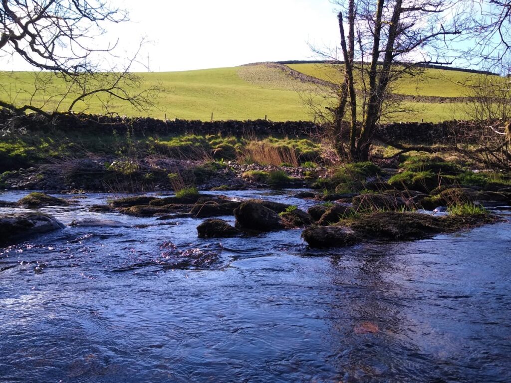
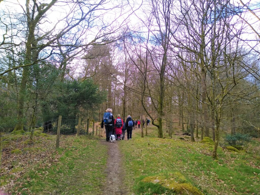
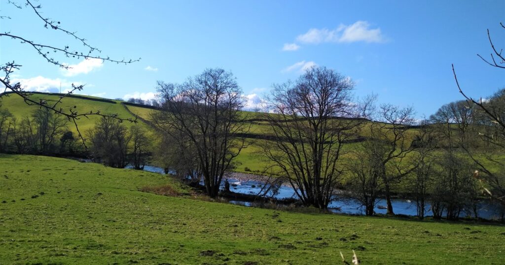
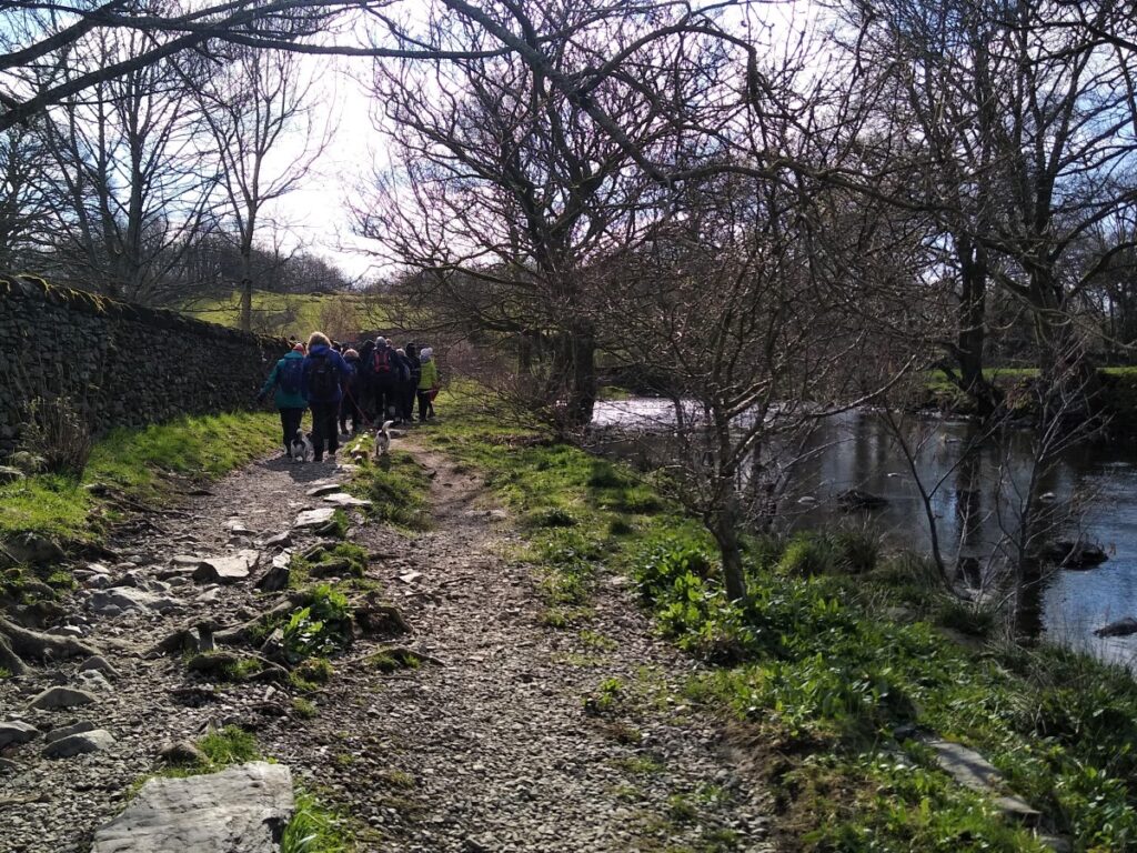
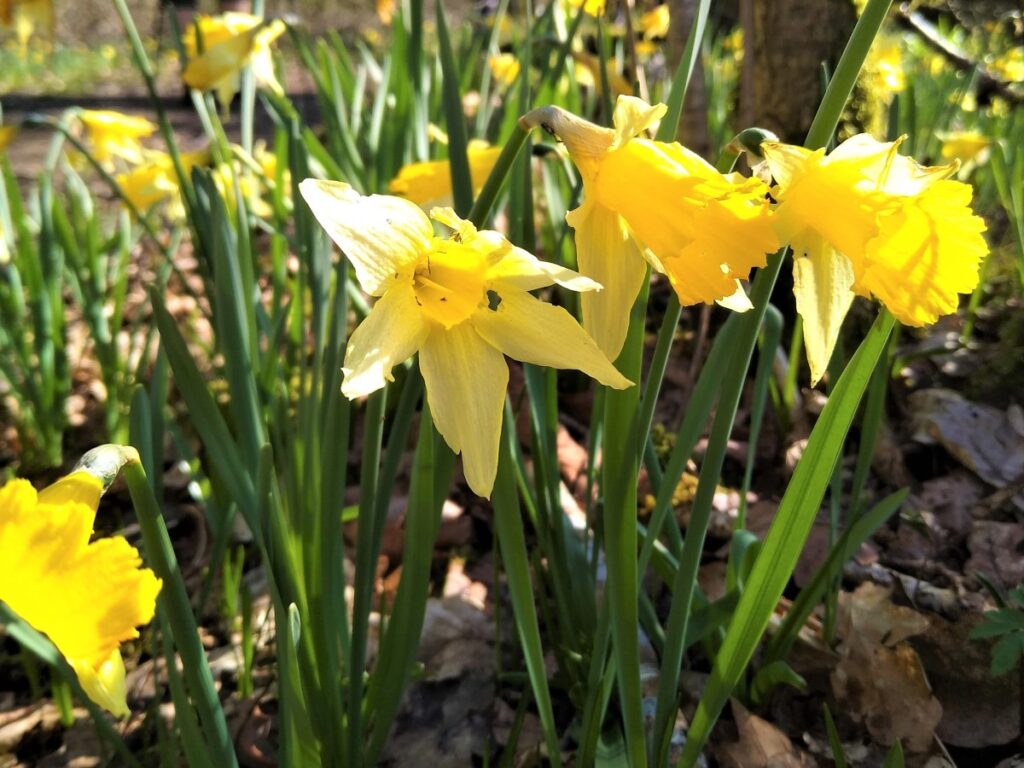
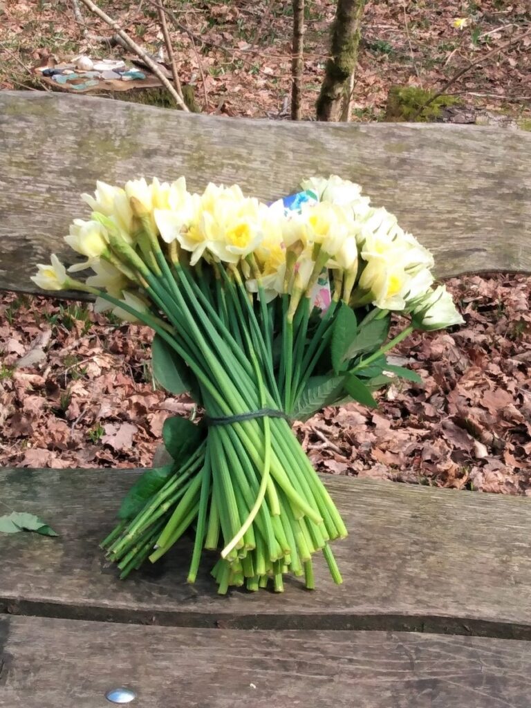
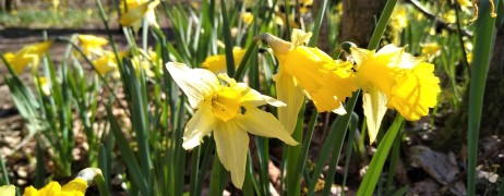
This easy walk tracks down the banks of the River Kent, through pretty woodland. If your timing is good – and this is best as a spring walk – expect to see the traditional host of golden daffodils.
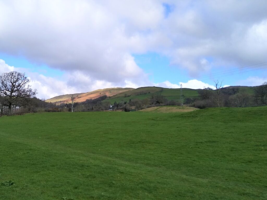
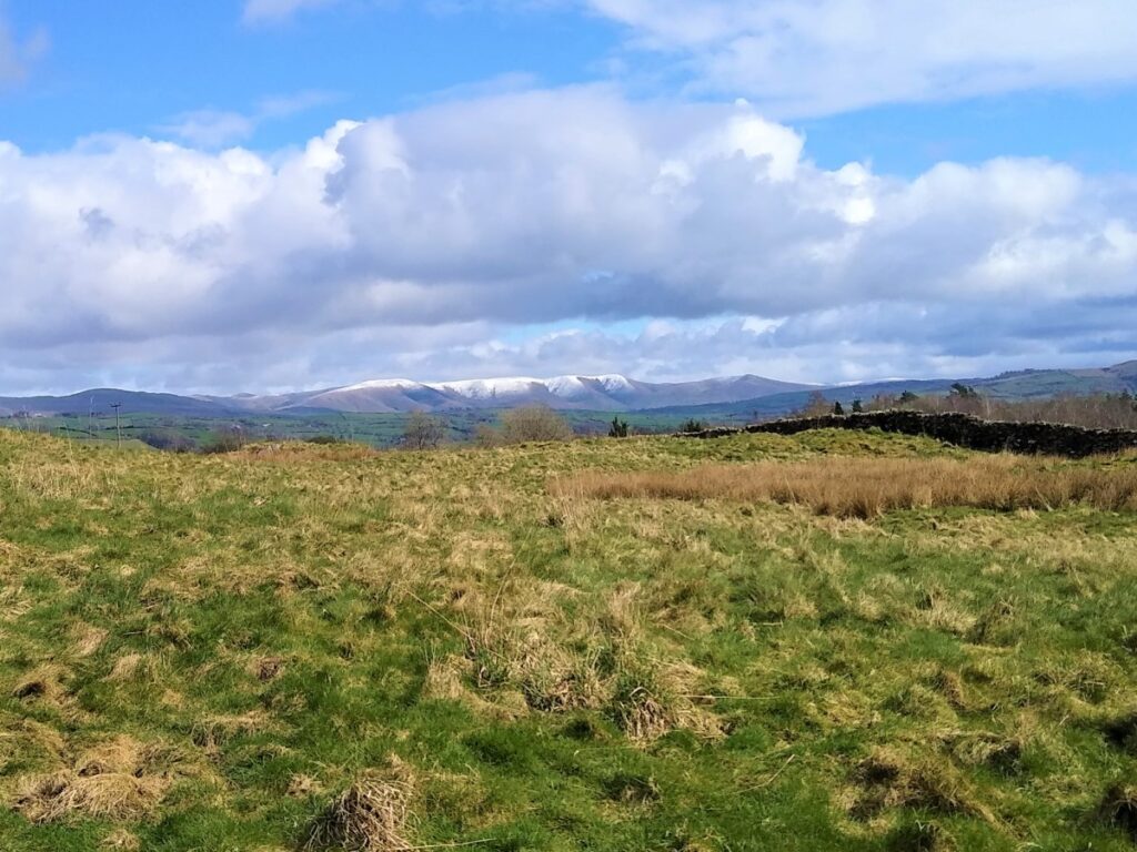
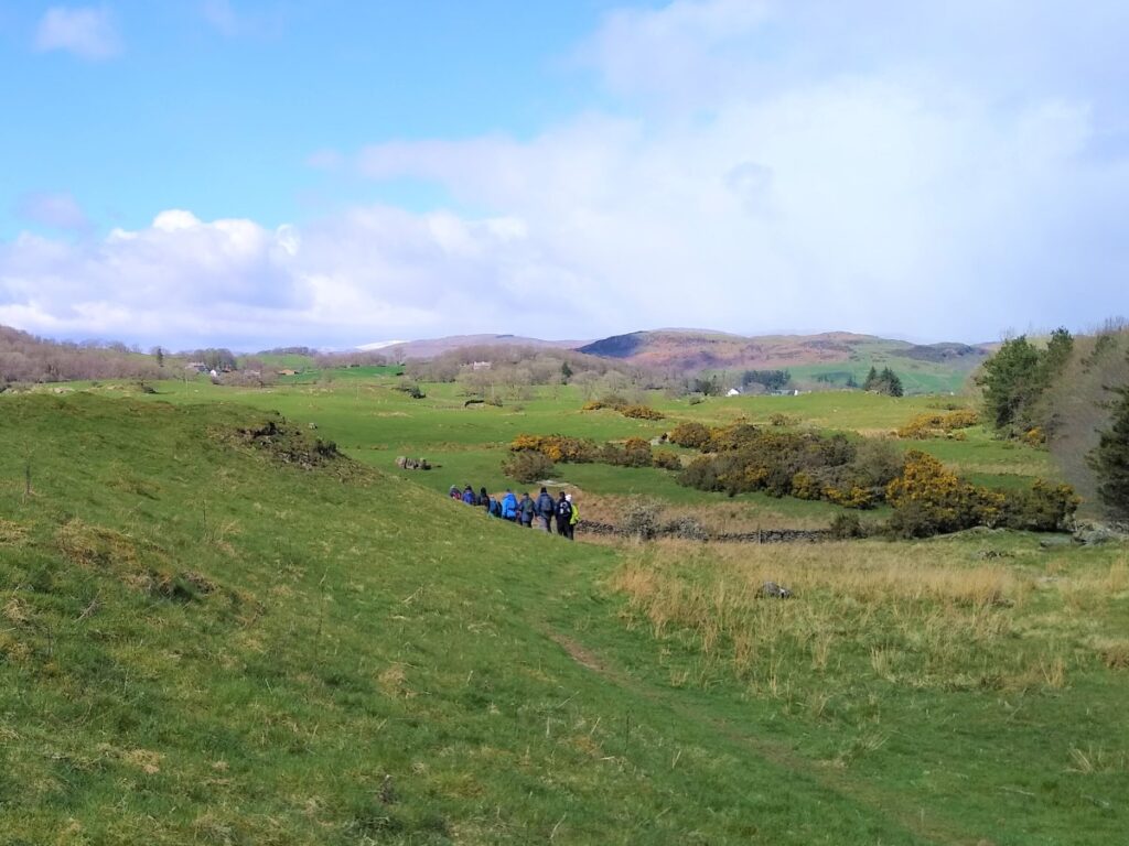
The return journey first heads toward Bell Hill before returning to Staveley through pleasant and gentle farmland with excellent views of the Lakeland fells.
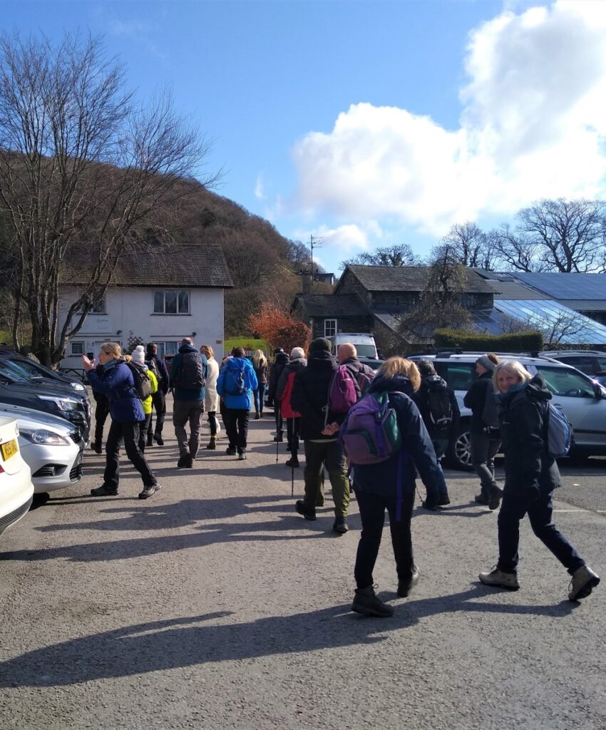
Staveley is a thriving village and can be busy, so some consideration is needed when parking. We used the car park at the business centre signposted for Hawkshead Brewery. Postcode LA8 9LR should work for Satnav Users, What-3-Words location nests.parked.scariest is in the car park, and grid reference SD47149832 will help map readers.
Please respect the fact that this car park serves the businesses, so spending money there would seem polite.
Update: Parking in Staveley was free when this walk was documented. Since then, rather steep parking charges have been introduced at the recommended starting point. Alternatives could be arrival by train, or the station car park.
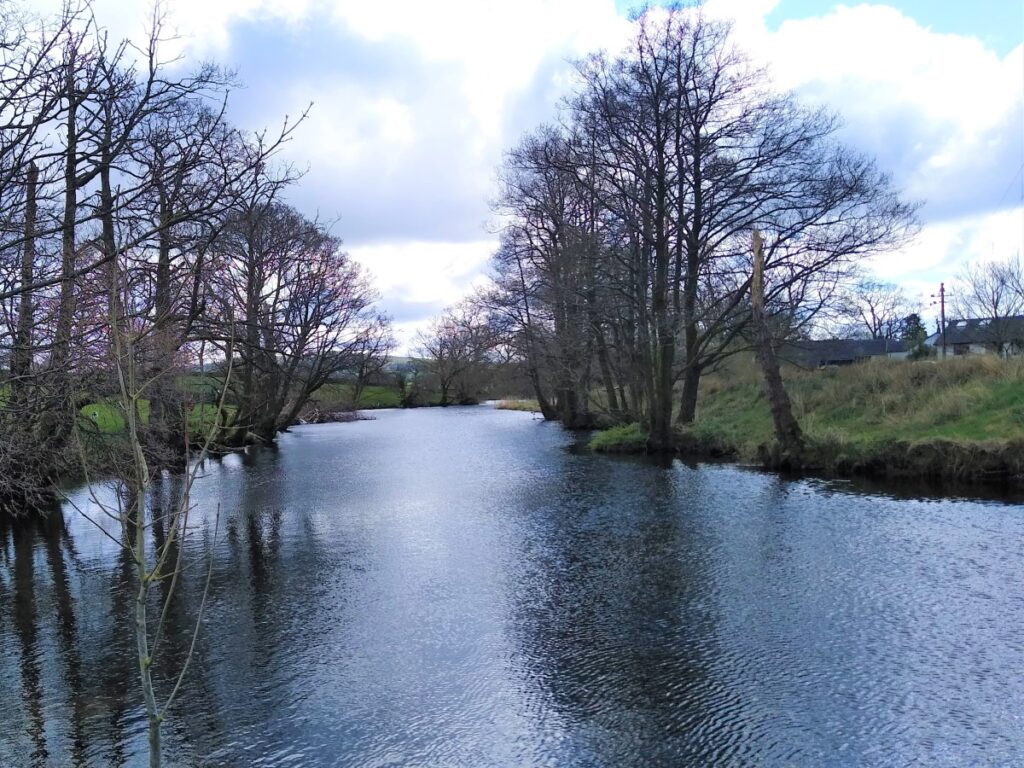
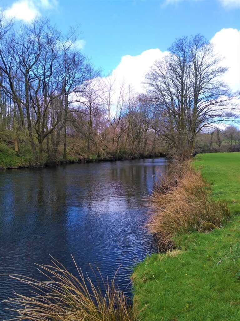
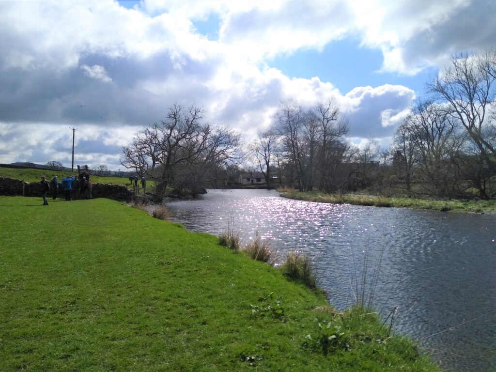
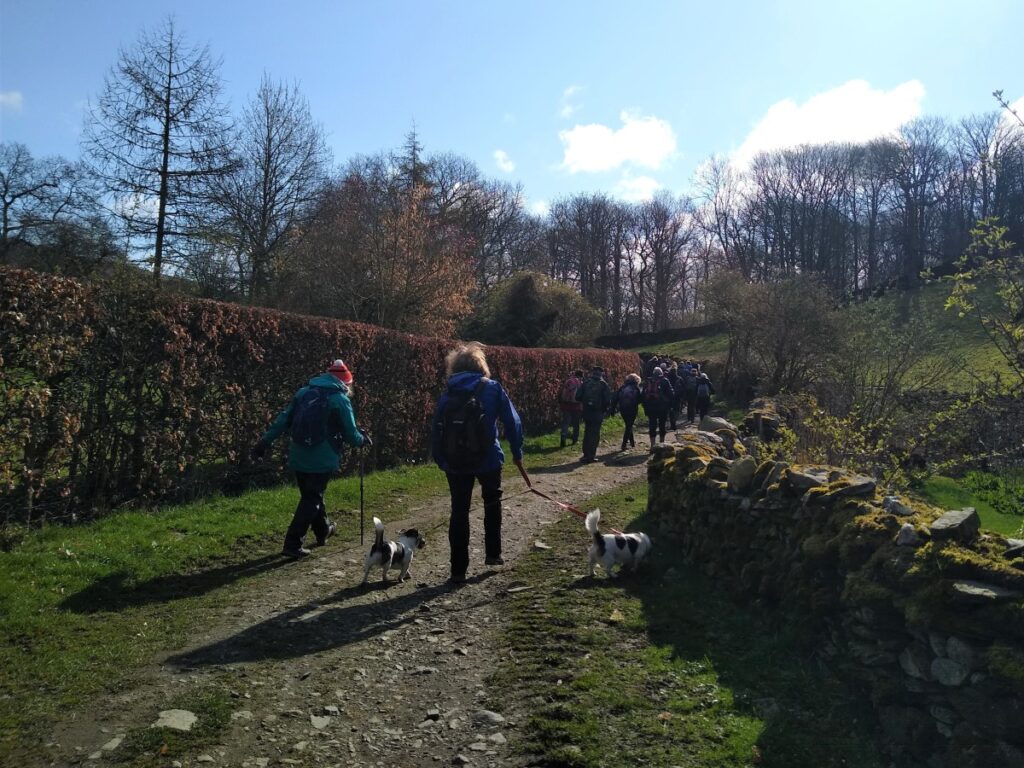
From the car park head South East passing the Bakery on the left and a bespoke joiners on the right. This takes us to the end of the business park where we turn left and cross the River on an attractive footbridge with good views up and down the Kent. Once on the far side of the river we head right (downstream) and see the path fork almost immediately.
We take the right hand route, and head slightly away from the river between two buildings and loop round in a lane with a drystone wall on our right and a hedge on the left – as we progress down this lane, woodland remains on our right hand side.
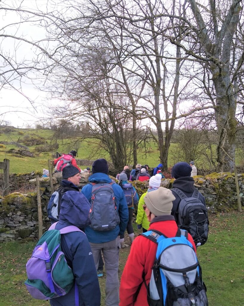
At the end of the lane we cross into an open field and head to the opposite corner and back toward the river Having crossed a couple of field boundaries, we re-join the riverbank. The path is clear and now heads NE, coming closest to the river as the flow veers right. Here we head away from the water again to access a stile onto a small lane, where we turn right. In effect we are still following the river – it’s just that there is no access to the riverbank at this point due to the location of a water treatment works.
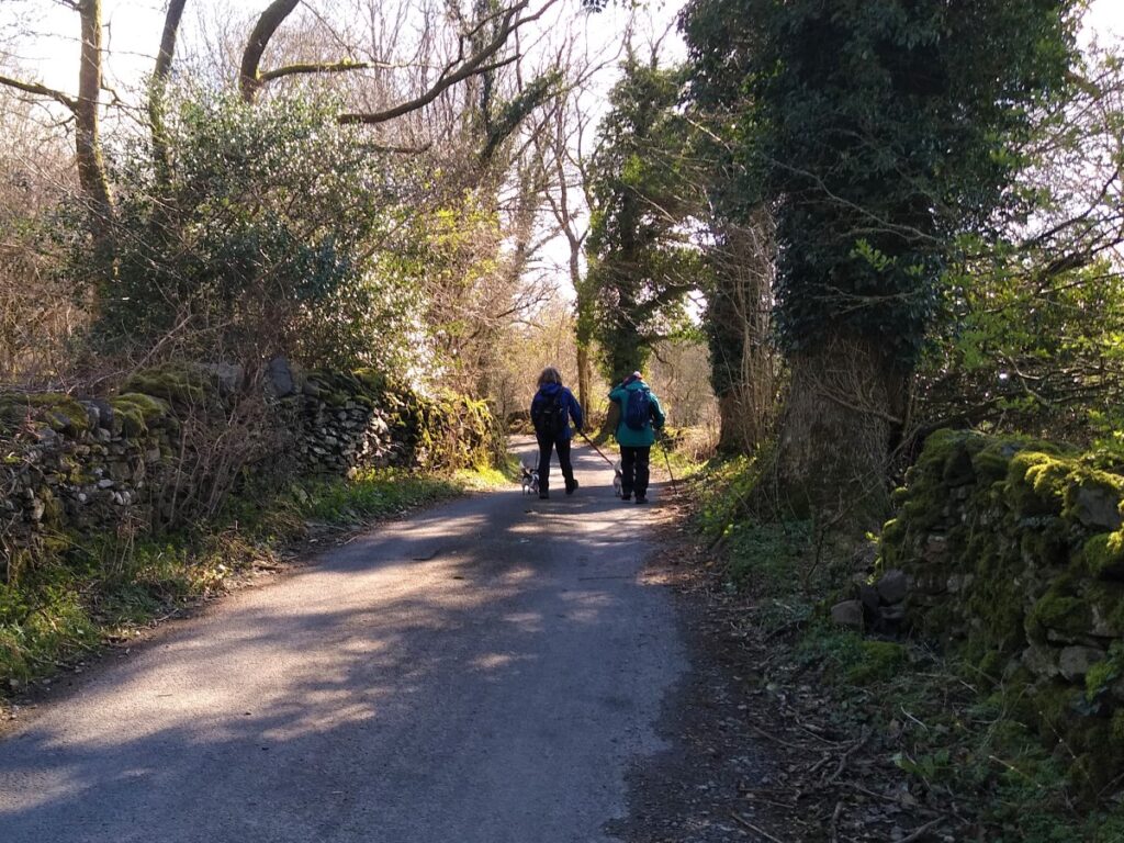
The road is very quiet, and we stay with it for only a short while, so look out on the right for access back onto the riverbank path – this is found where the woodland begins.
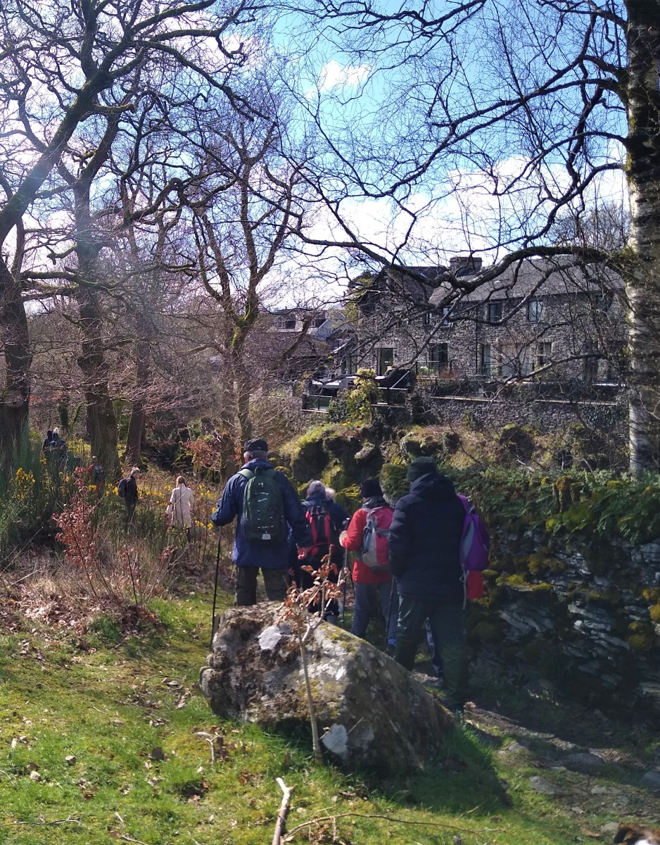
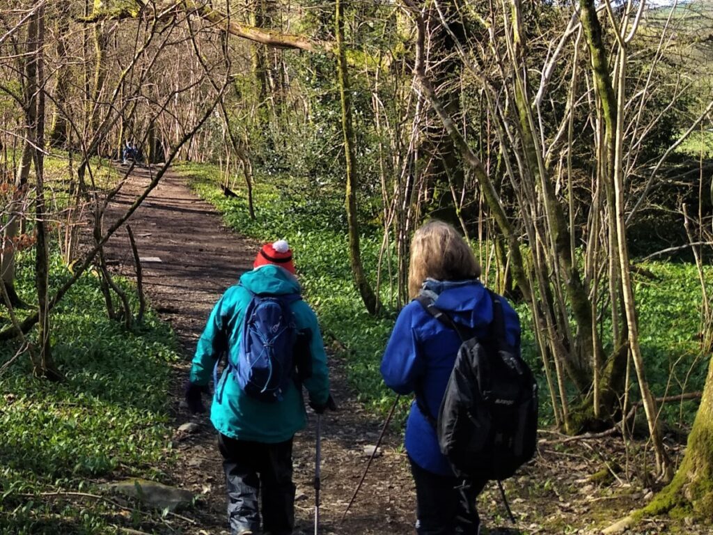
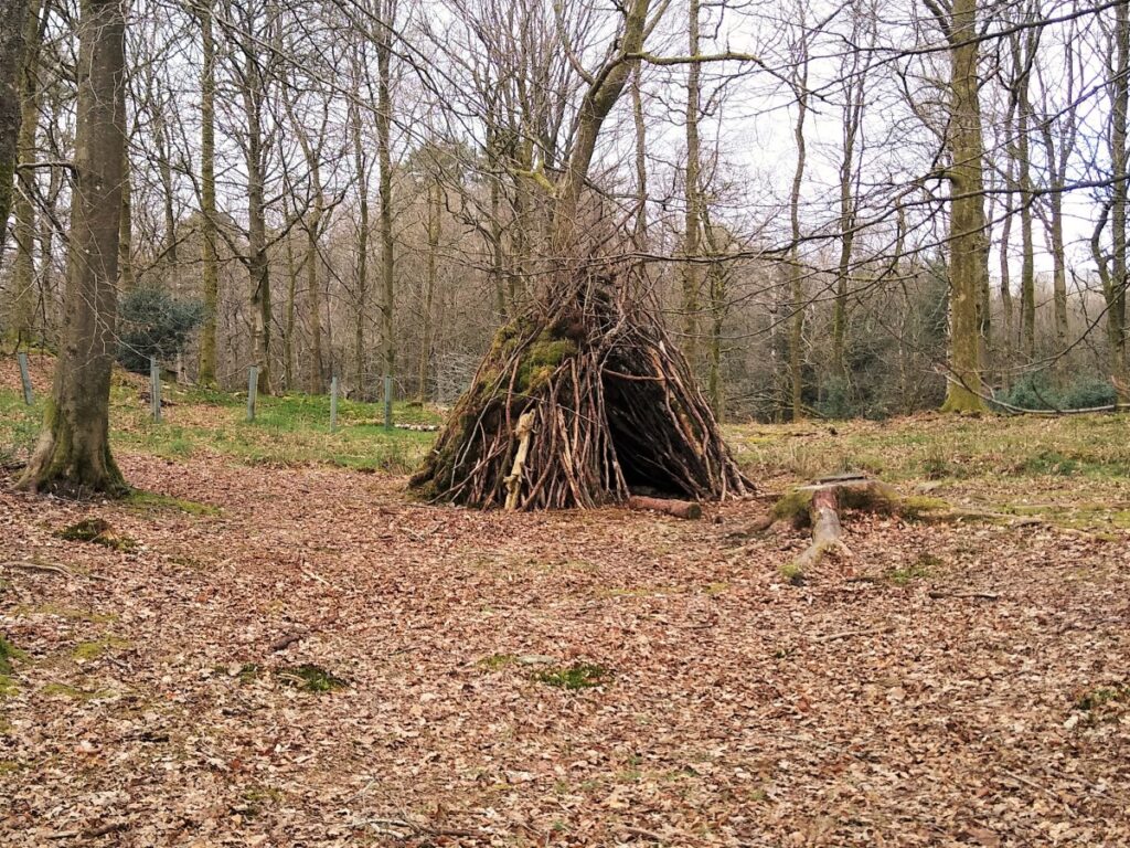
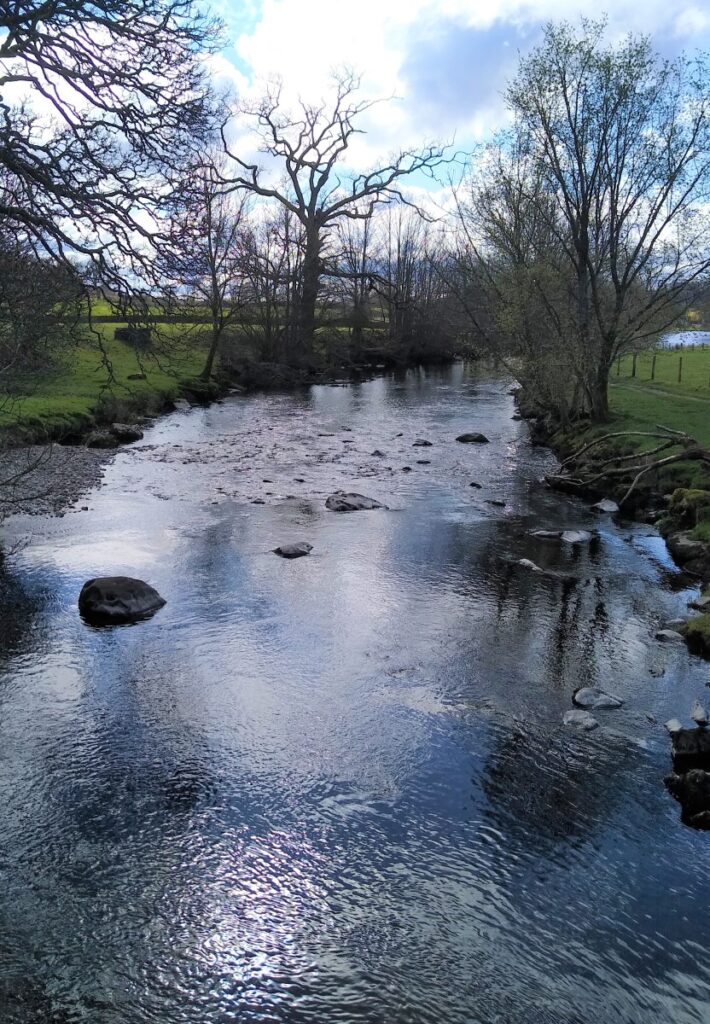
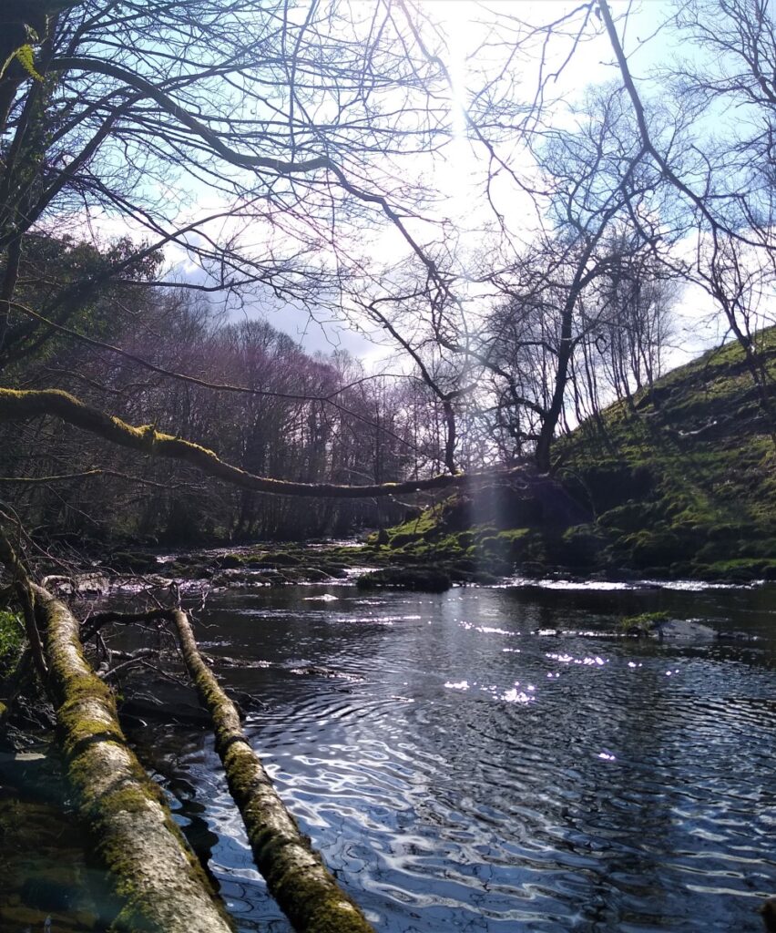
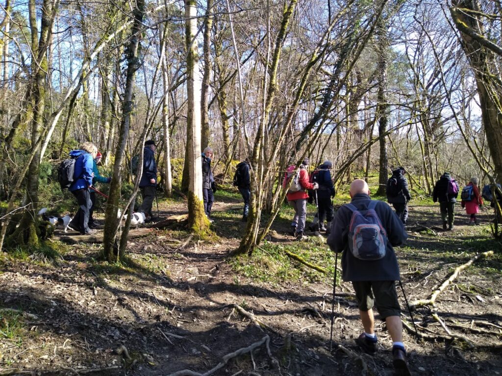
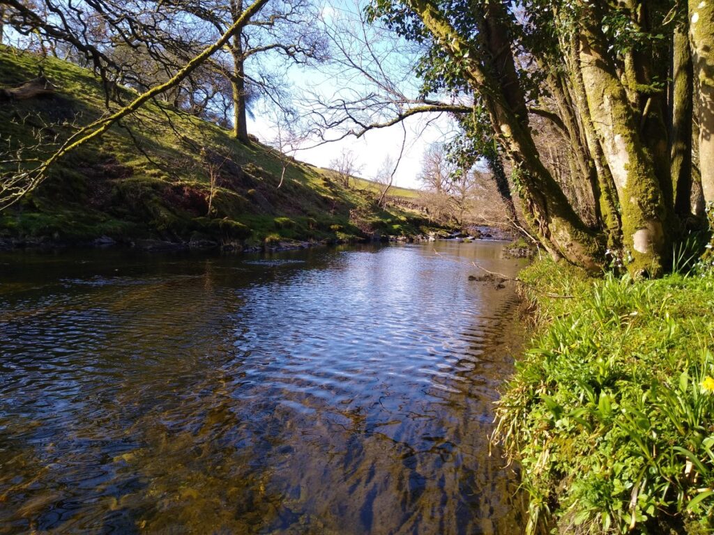
The path within the woodland is clear and initially heads south to find the river, before following the river downstream. In the spring, the woodland is carpeted with Daffodils.
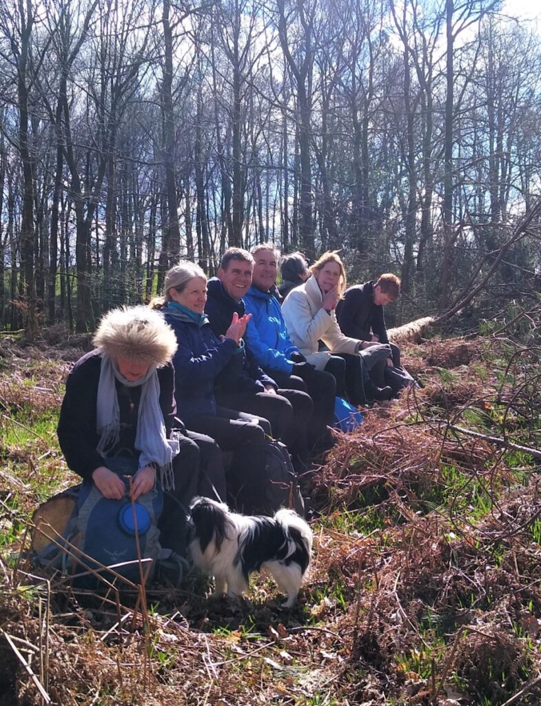
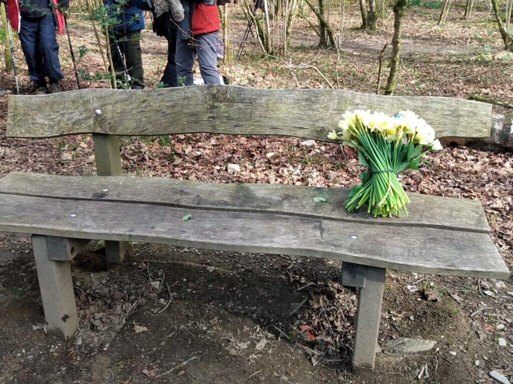
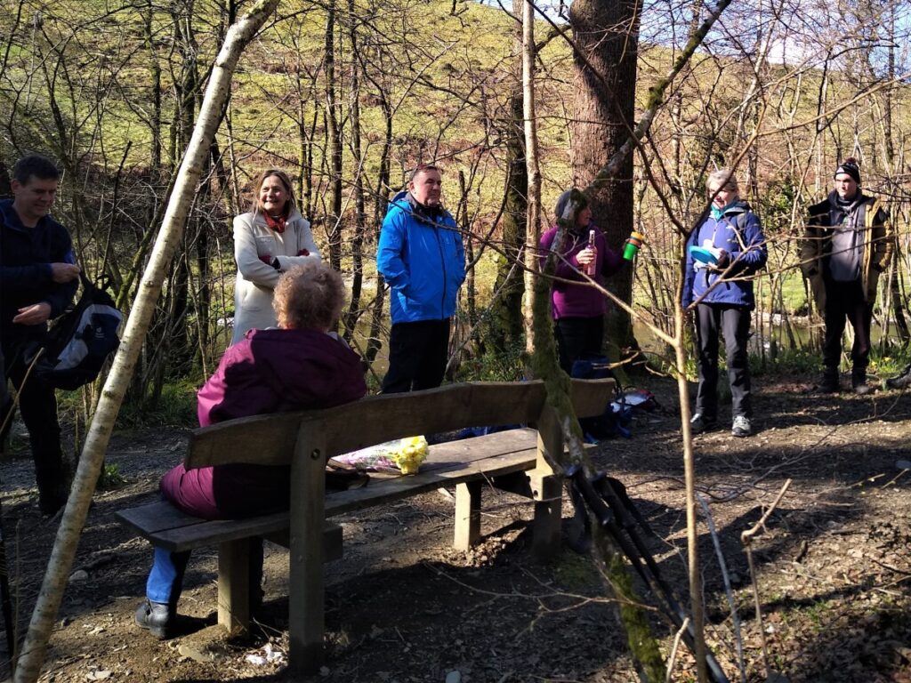
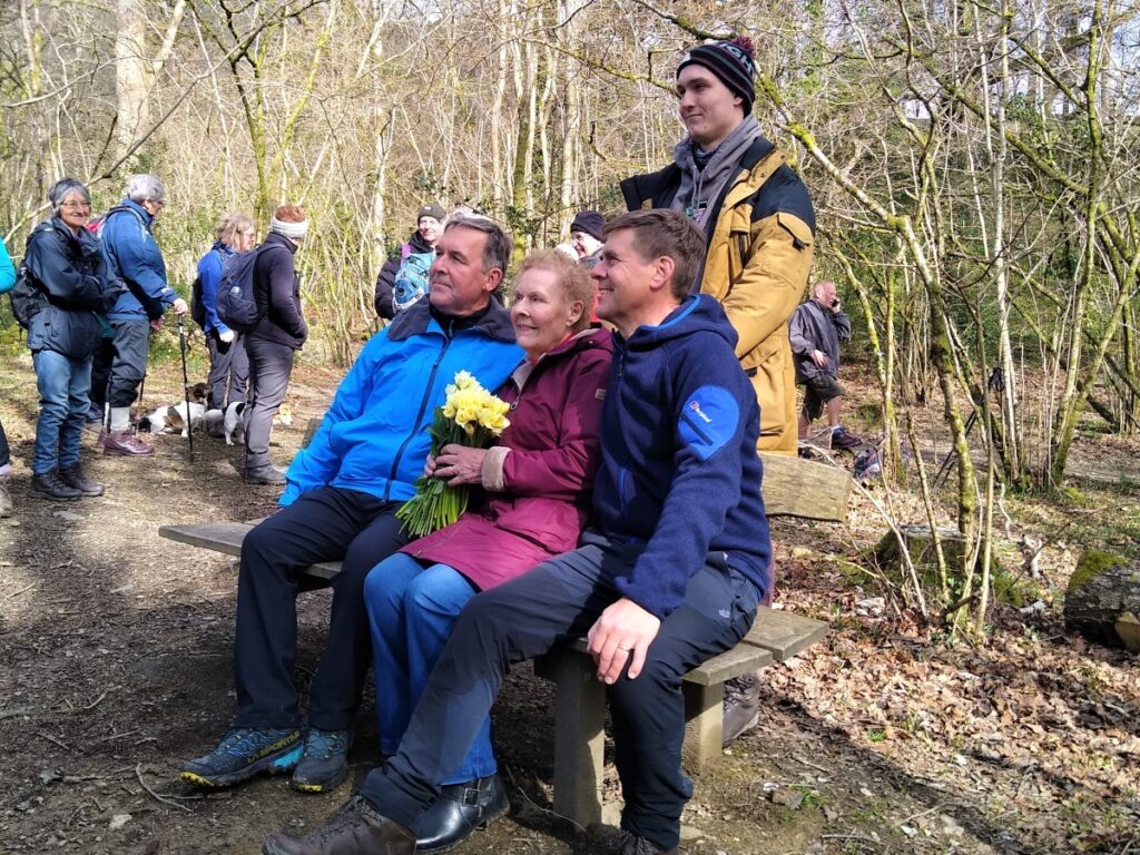
We paused here to remember Dennis Chamberlain an exemplary member of Bentham Footpath Group who often championed walks in this area. We were honoured to have members of his family with us to share this special moment.
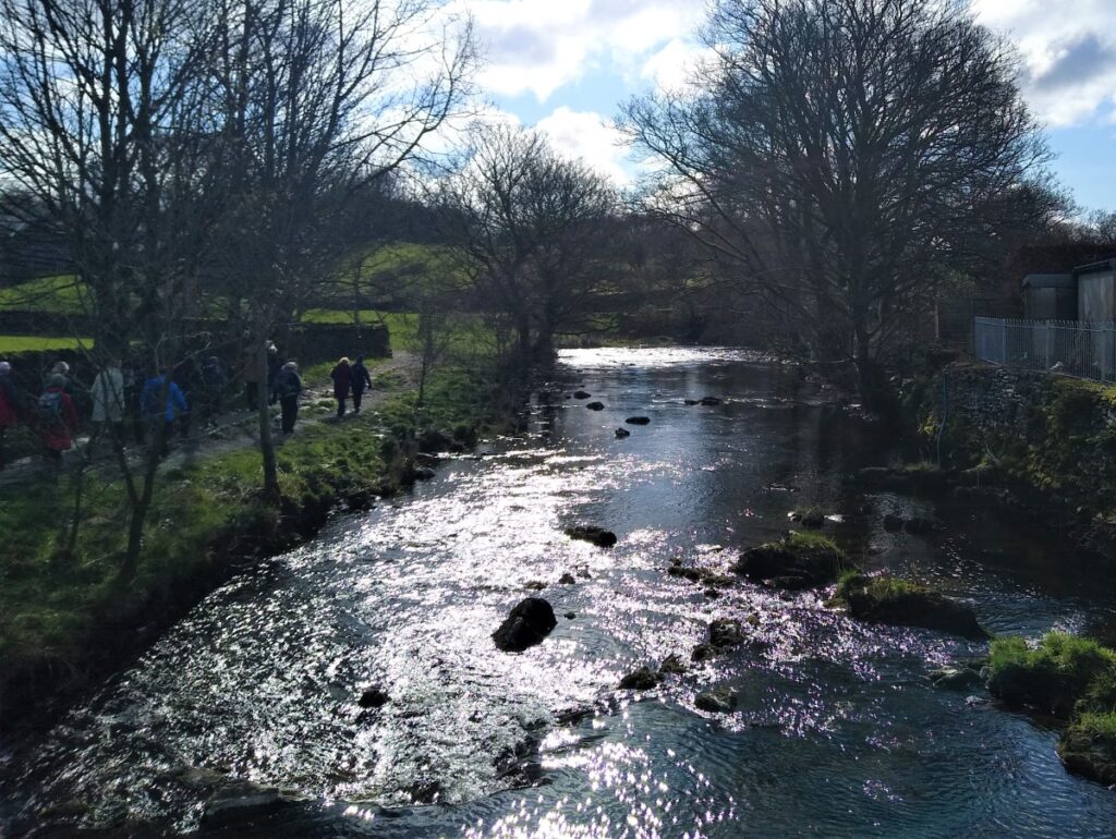
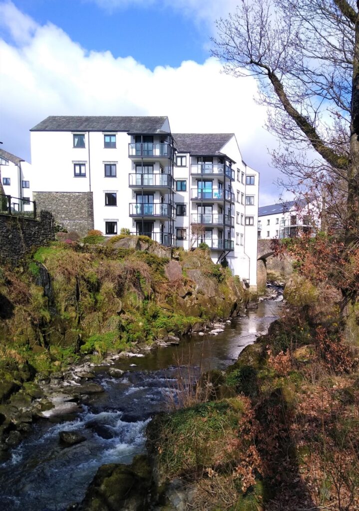
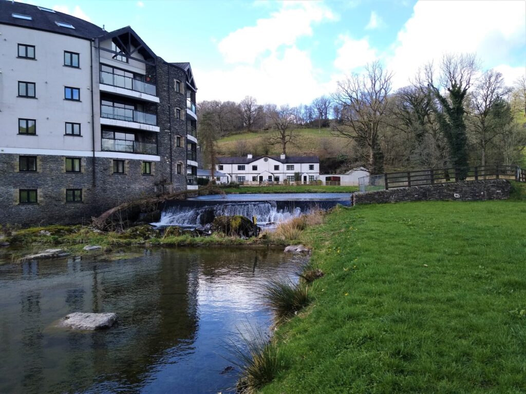
We continue downstream along the river passing a bridge at Hagg Foot. Beyond here the woodland ends and we walk along the edge of the river in open fields, with the stark white apartments of the old paper mill at Cowan Head before of us.
Having closed as a paper mill in 1977 this is now a complex of modern apartments. Some of the original stonework and water management structures can still be seen beyond assertive “Private” signage.
The path continues along the river, and we head SE for a while until we arrive at Bowston where we meet a minor road at a stile.
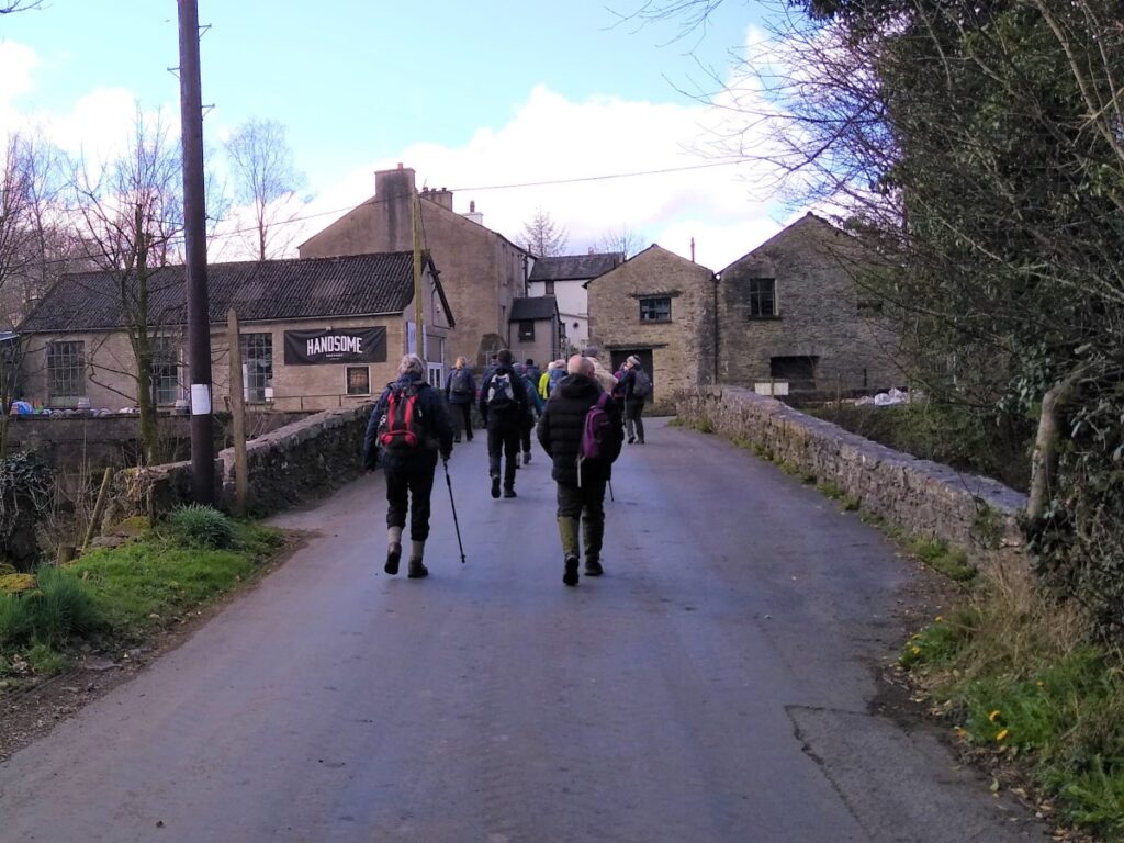
Having turned right, we cross the river, pass the charismatically named Handsome Brewery and follow the road round to the right and then up to a larger road where we turn left. We stay with the road for just a few meters, and on the opposite side we see Meadow Close where our path continues.
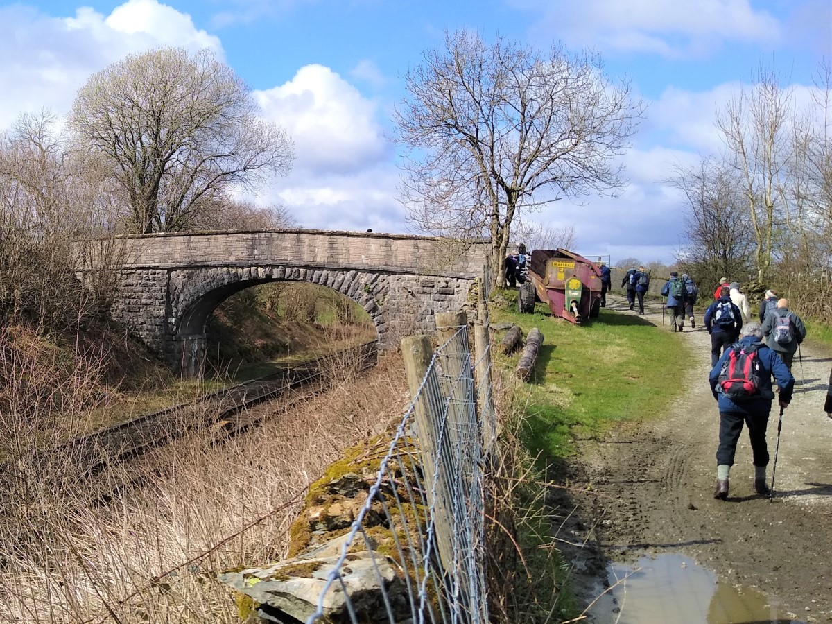
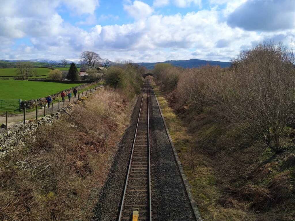
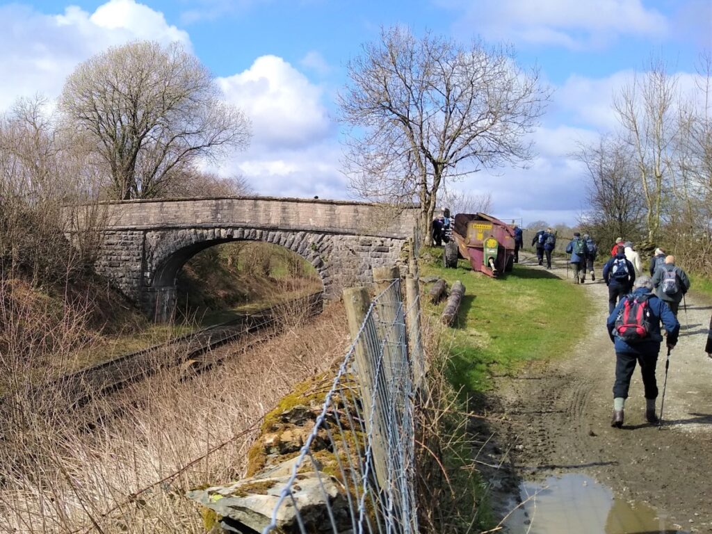
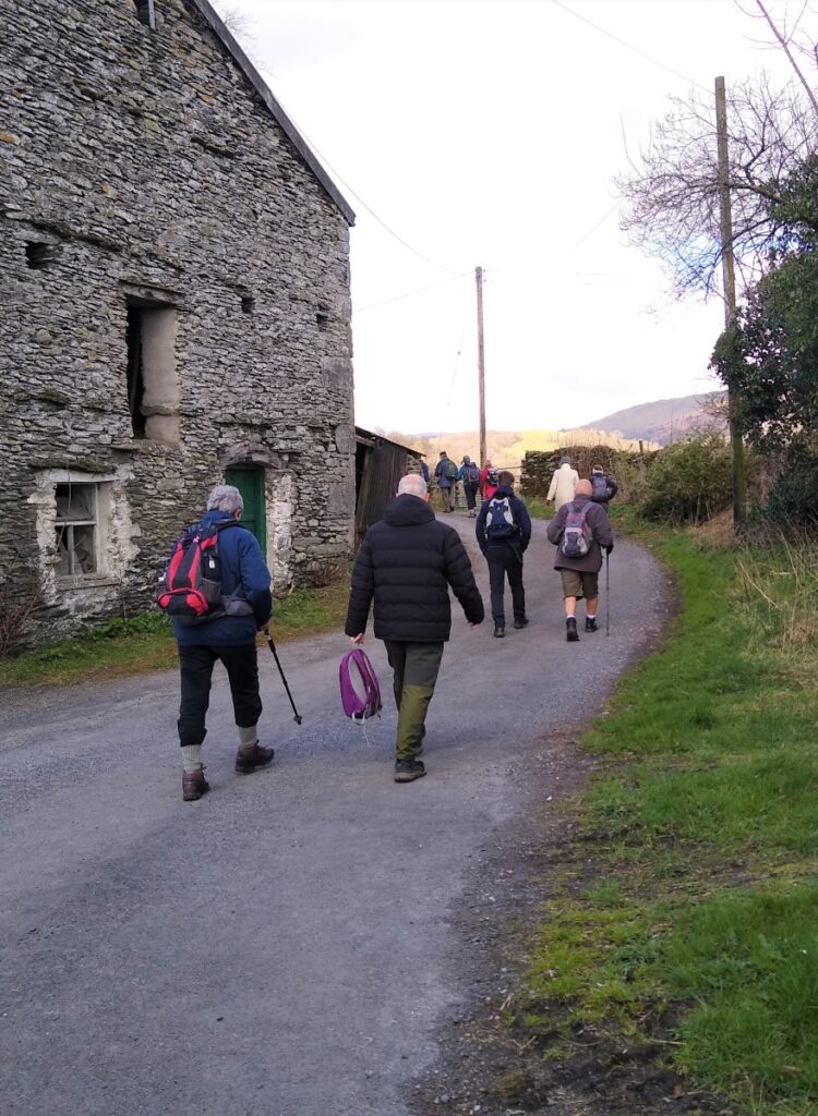
We now head up a clear track toward Bowston Farm and the railway line. The path passes through the farmyard and then continues along the railway now heading East. We then cross the railway at stone bridge and continue within a well-defined lane away from the track.
The A591 is a head of us, but is barely noticeable as the track passes under it in a corrugated steel subway to continue on the SW of the road until our path meets a minor road. Here we turn left along the road, but keep an eye open for the continuation of the path onto the woodland on the right almost immediately.
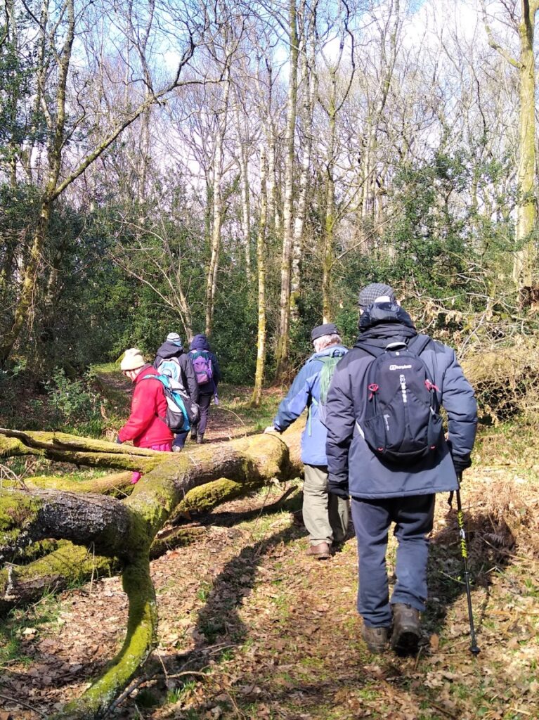
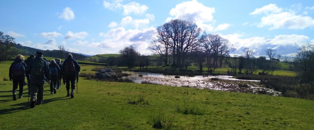
The path through the wood (called Rather Heath) is clear. We cross another very minor road and continue within the woods where we may find a good place to enjoy lunch using one of the many fallen trunks as a bench. The path continues, passing the edge of a small body of water rather optimistically called Ratherheath Tarn.
Just beyond here, we meet a minor road (Ratherheath Lane) and turn Right, to walk along the road for a while. The road is quiet, but care is still recommended.
Ratherheath Lane heads South until we meet a T junction, where we turn right and head West along Crook Road. Keep an eye open for a minor road joining on the left and then after the same distance again, our path leaving the road on the right. We are not on the road for long.
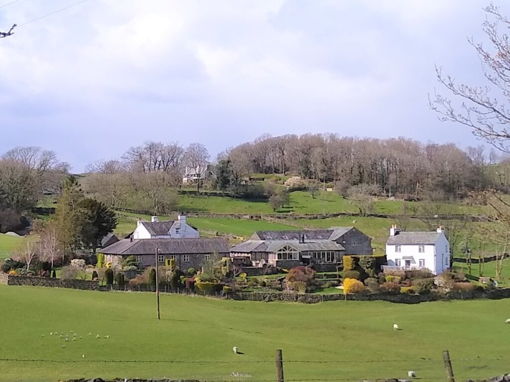
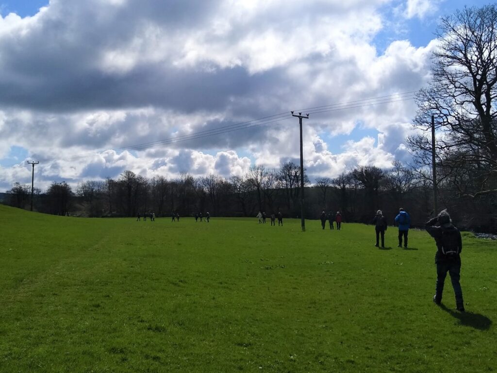
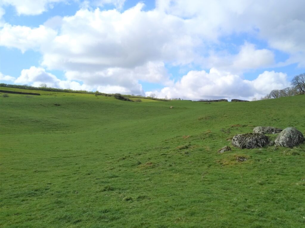
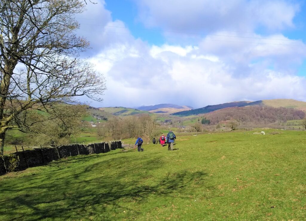
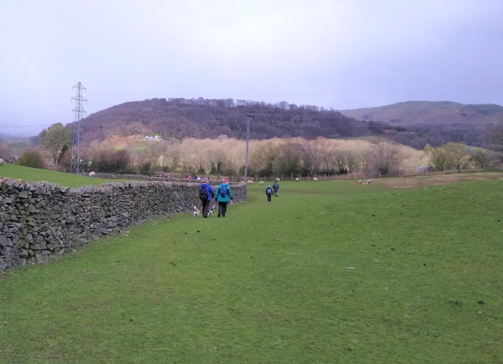
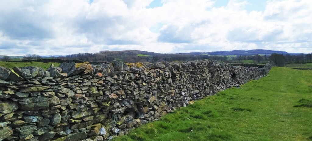
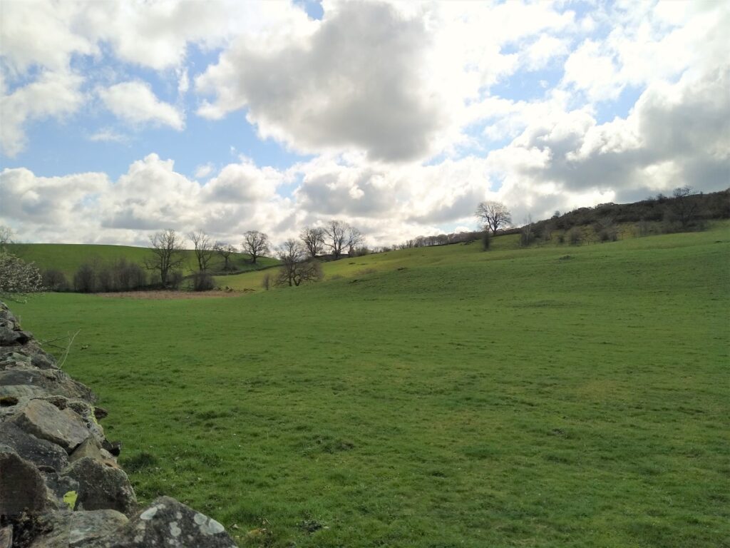
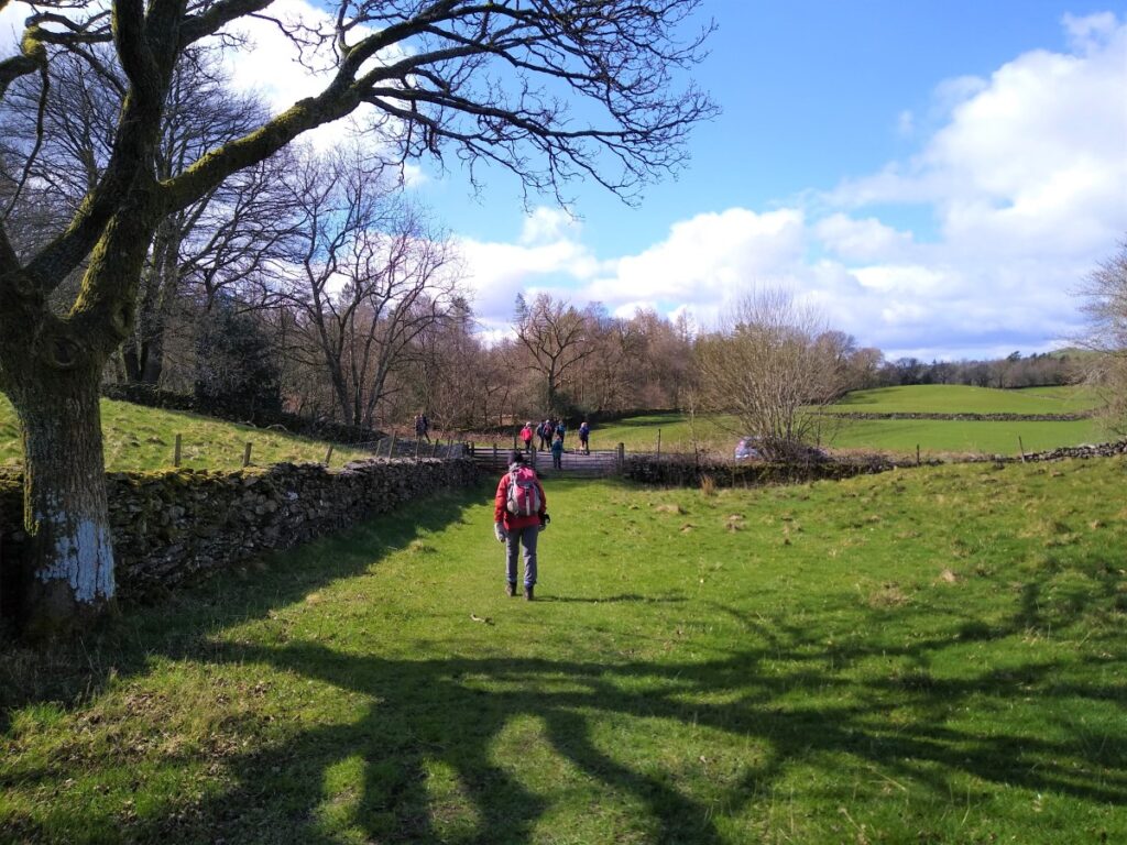
As we pick up the path again, we are back in open fields with drystone walls as we head North toward Knott Hill, and then onward toward a wooded area known as Ashes Coppice. The views along this stretch to the fells of the Lake District can be impressive – although this will of course depend on the weather.
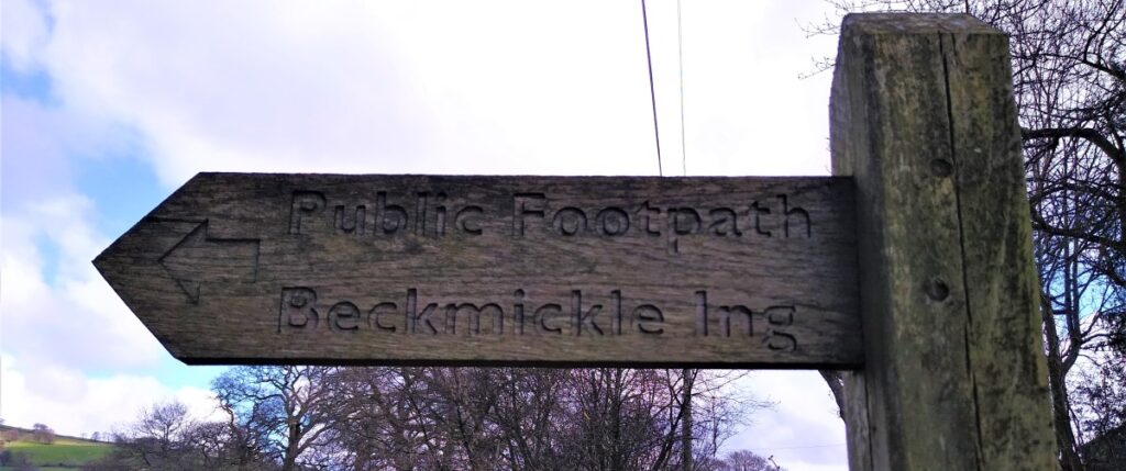
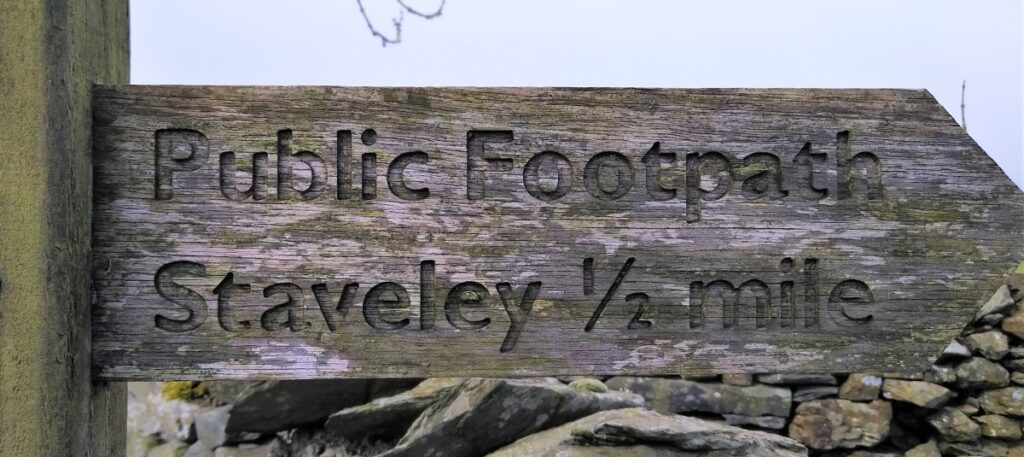
The path continues North, passing through the coppice, and then continuing on the far side down to the A591. Here there is no subway, so care is needed when crossing to pick up the path again on the opposite side of the road. If in doubt the signpost for the public Footpath to Staveley will provide reassurance.
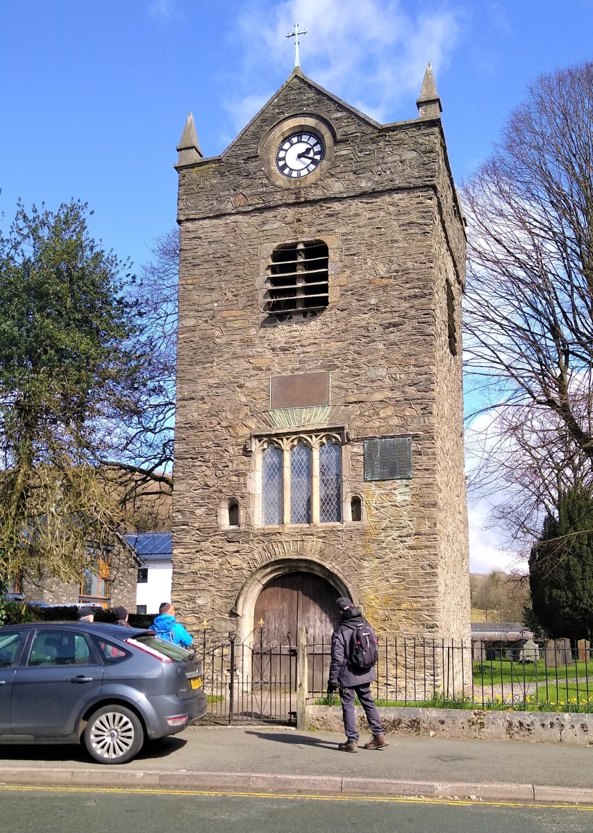
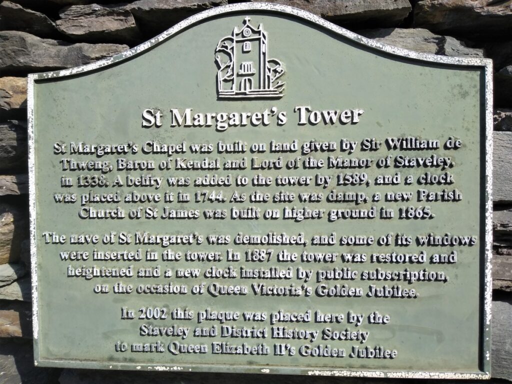
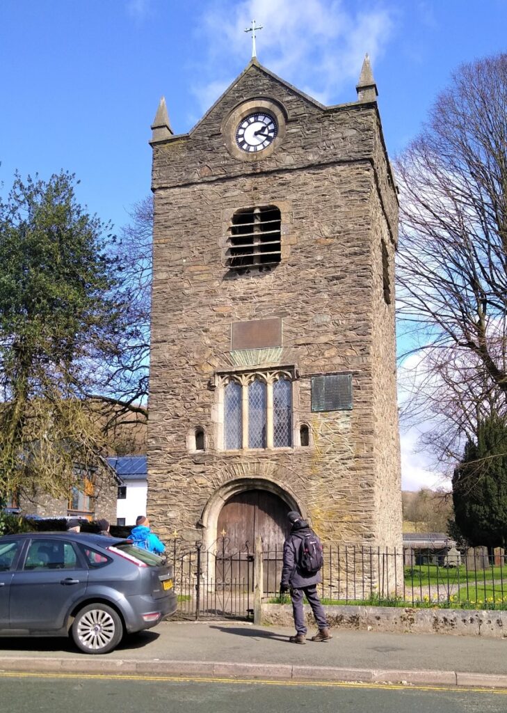
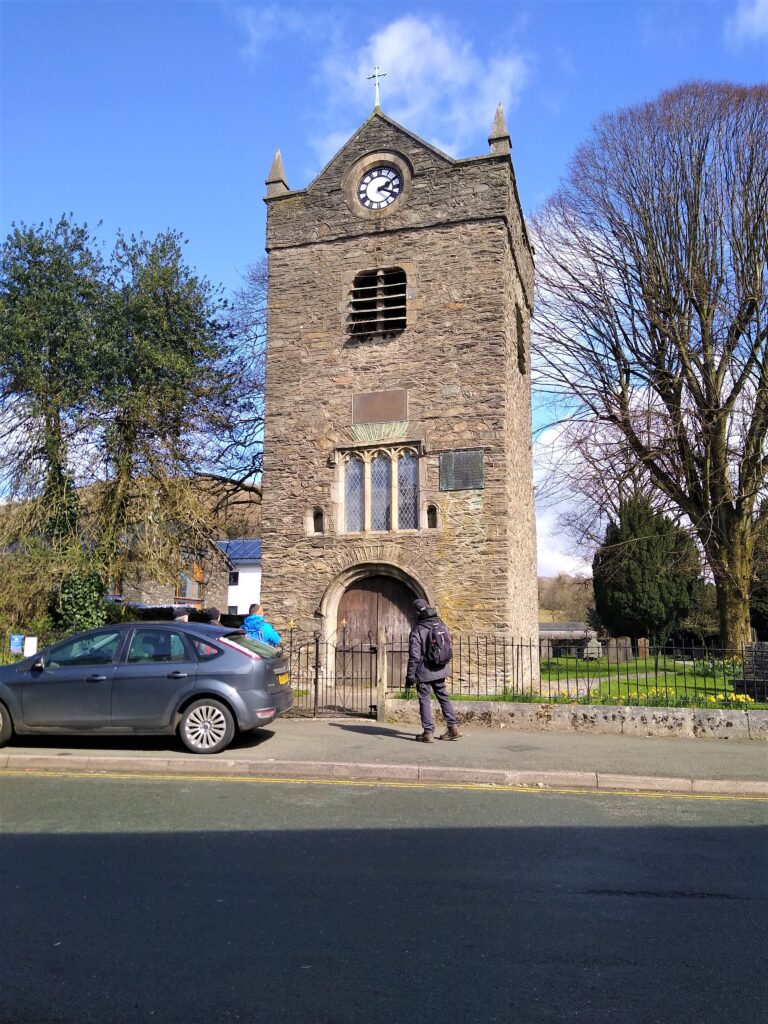
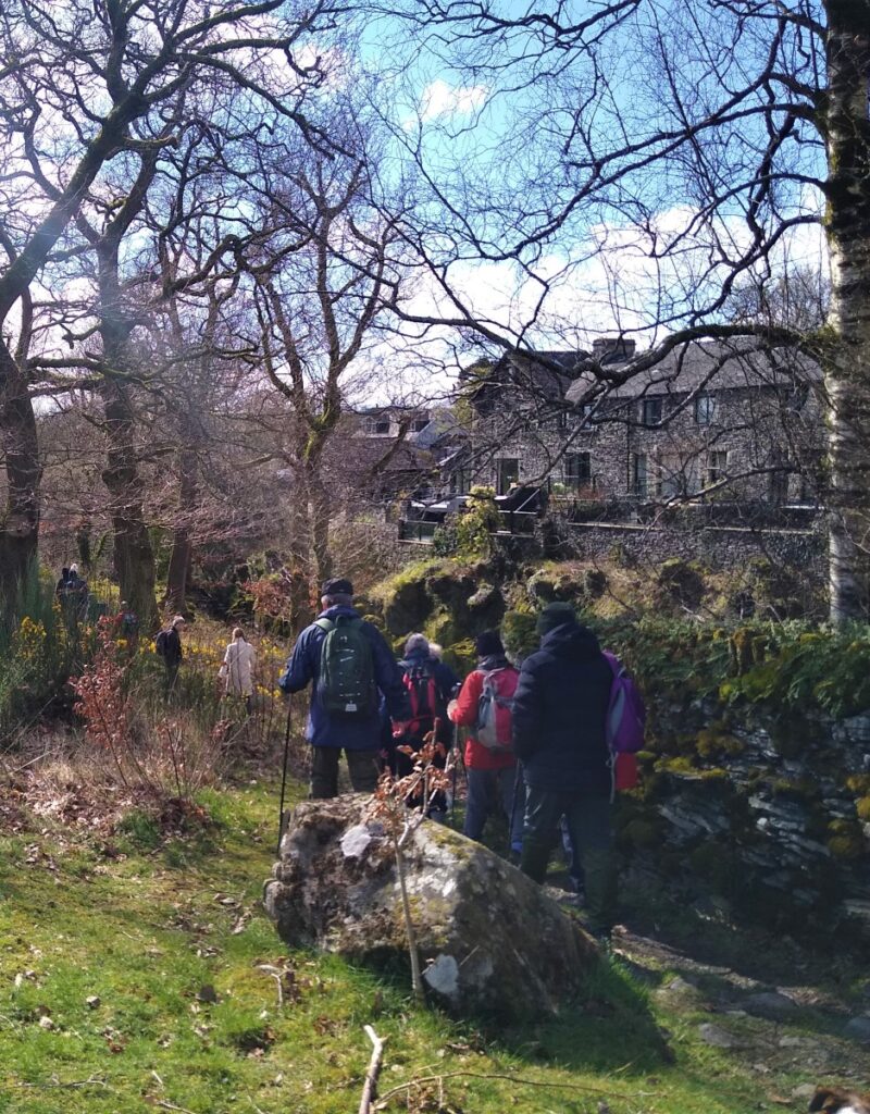
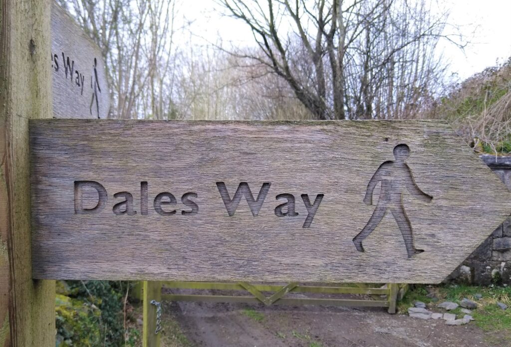
We follow the path North through fields and soon pick up the railway on our right. Here there are a choice of paths – we take the Dales way under the railway and back to the road into Staveley where we turn left and follow the road past St Margaret’s Tower to our starting point.