Jump to . . .Step by Step | OS Map | Downloads | Gallery | Fly through
Staveley has long been a favourite of Bentham Footpath Group – this is the third time we have visited in the time we have been documenting our walks on our website, but a review of old program cards shows that we have visited here at least once a year for as long as the group has existed.
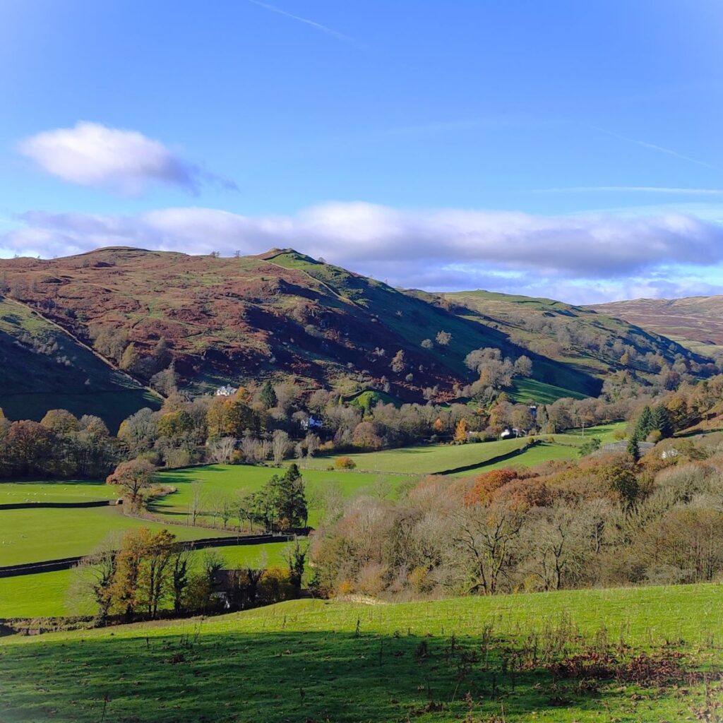
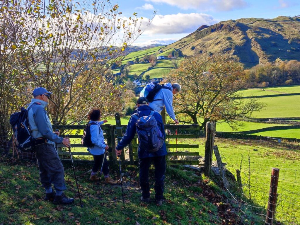
A quick glance at the gallery for todays’ walk explains why we keep coming back – the views are stunning, and the varied landscape provides a rich mixture of flora and fauna. Add a few fascinating buildings, and even an opportunity to go shopping, along with riverside sections featuring weirs and waterfalls, and we create a walk that’s too good to miss. Our members clearly think so, as evidenced by the great turn out. Lovely autumn sunshine helps, but this is a great walk at any time of the year.
- Total distance 11.8 km (7.3 miles)
- Total ascent 254 m
- Easy walk
Step-by-Step
We always used to recommend starting from the centre of the village in Staveley for walks in this area. That was when parking at the retail complex at Staveley Mill Yard was free, and actively encouraged to boost trade. Things change though, and parking for sufficient time to complete a walk is now an unattractive proposition.
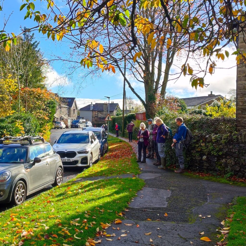
So, as an alternative, the walk starts at the nearby village of Bowston, where there is ample roadside parking, but as always, please park in a manner that is considerate to residents. To get to Bowston, take the A591 to the Plumgarths roundabout just beyond Kendal, then continue as if heading to Ambleside / Windermere. Just 400m after the roundabout take the Burneside turning on the right and follow that past the level crossing and to the T Junction. Head left passing the Jolly Anglers pub, then continue for just over 1 km to arrive at Bowston. If you are using Satnav to get there, then try Bowston Bridge, Kendal LA8 9HD as an address. The OS grid reference is SD49749666, which corresponds to the What-3-Words tag agreed.carry.insulated
From the parking spot, we need to locate the bridge over the river Kent – look for the Victorian post-box set in the wall, or signage to the Handsome Brewery. Walk down to the bridge, perhaps pausing to note the times when beer is available from the brewery shop, then cross the river Kent using the Grade II listed bridge which dates from the 17th century.
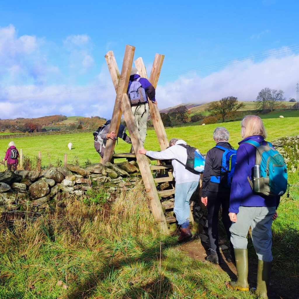
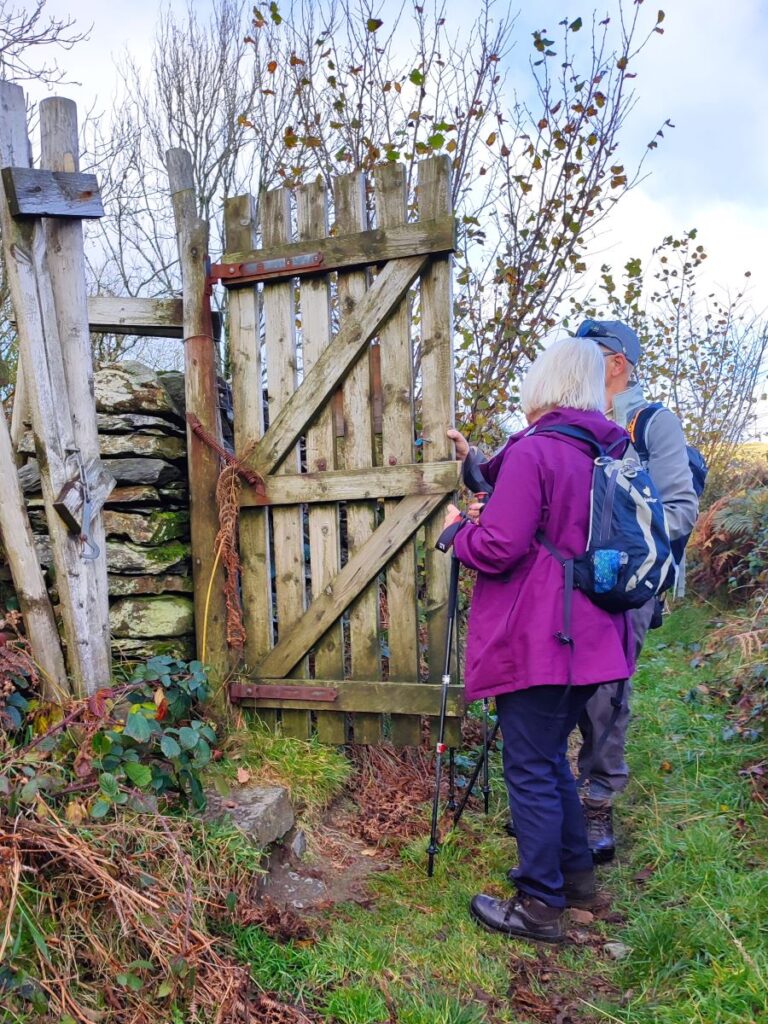
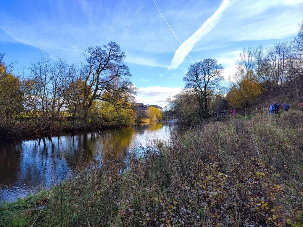
At the far side of the bridge there are signposted paths on both sides – we go left and follow the river upstream for a while, not straying far from the water. As we progress upstream, we cross a number of surprisingly large stiles, which despite the giant proportions have the steps rather too close together, so take care. At this point in the walk, the best views are over to our right toward Potter Fell.
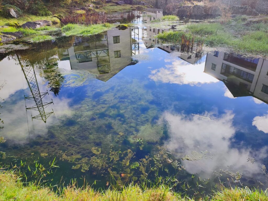
We soon catch sight of a large white building to the left of the path – this is Cowan Head Mill, an active industrial site until 1977, but since then converted into luxury apartments. The mill was originally built as a “fulling mill” in 1735: Fulling is a process by which a woven cloth is cleaned and milled to produce a material that is thicker and more dense, and therefore warmer and somewhat water repellent. This is an energy intensive process so in old times tended to be carried out where waterpower was abundant.
After a short period, the mill changed hands and in 1746 was repurposed for paper manufacture, eventually becoming part of the Croppers empire – if you drove in via Burneside you will have noted the large paper mills that are still operated by Croppers. Also worth noting in Burneside is a memorial to an industrial accident at the Cowan Head Mill: In 1893 the mill chimney blew down killing three workers.
The site is now tranquil and very attractive – much of the infrastructure to control water flow has been retained, adding visual appeal to the grounds.
Click here to read more about the mill.
We continue with our path upstream, and about 300m after the apartments, arrive at a flat concrete bridge over the river. The riverside path does continue upstream, but we leave it here and head right to climb the track up to a minor road – on the way we pass a number of beehives, and some impressive fungi growing on the trees adjacent to them.
Once at the road we go left and walk on the road for a short while – it is generally traffic free, but please be careful. The on-road section is short, and after just 100m we see a set of steps on the right leading up to a step stile giving us access to a path heading north toward woodland. We climb a little at first but then follow contours as we head up a valley toward Side House – which is 800m or so from the point where we left the road.
Side House is easy to identify – not only is it the only building in the area, but it may look familiar to you if you are a Wainwright reader: Side House appears as one of his illustrations and has been a popular navigational landmark since.
We were lucky enough to have a conversation with the couple who have lived at Side House for the last 50 years, who explained that the building was the first of a number of locations where horses would be changed when the turnpike road ran through here.
Four paths meet here so in addition to the path we arrive on, there are paths continuing up both sides of the beck – these are worth following for a few metres to see the impressive waterfalls, but don’t go too far, as our onward route is back south along a very minor road.
After no more than 250m, look for a junction on the right where we take an even smaller road back uphill – we are now heading into the woodland that the walk title promised. The OS map shows the wood as being called Spring Hag, but locals refer to it as Dorothy Farrer’s Wood. It is privately owned, but has a number of public footpaths through it, and is made up of a number of smaller named woods; High Wood, Dorothy Farrer’s Spring Wood and Beddard’s Wood.
Sources of help are:
These three areas have historically been managed as coppiced woodland. Timber from the coppicing was used for bobbins, baskets and for charcoal manufacture. The damper north-facing areas of High Wood are particularly good places to seek out ferns, mosses and liverworts. Bird watchers will appreciate the area in spring and early summer when they may expect to see (or at least hear) pied and spotted flycatcher, redstart, willow warbler, blackcap, great spotted woodpecker, nuthatch, treecreeper and buzzards, so have that Merlin App at the ready.
About 100m after entering the woods, there is a fork in the path – we need to keep right here and contour round to the top end of the woods where we find a green lane that runs up the east side of the woods – outside woodland boundary. Our next landmark is a large gate on the left back into the woodland – the high gates and fences here are a deer-proofing measure. The woodland we are now entering is Mike’s Wood, this section is owned by the Friends of the Lake District, and it incorporates Beddard’s Old Wood.
There are a huge number of paths within the woods, so it would be quite easy to follow a different route to the one we explored – this is not necessarily a problem as long as you find interesting things and do no damage, but if you want to follow our route, precisely, we recommend using the downloadable GPX.
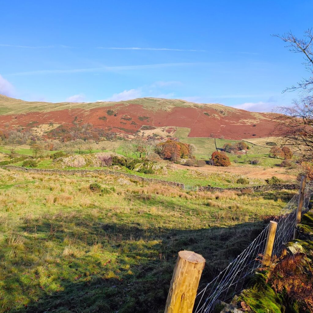
If you don’t have a GPX enabled device, simply follow the path from the tall gate for 50m then head right to find a path leading to an exit back out of the woods with great views north toward Brunt Knott. We go left here and follow the track down for 400m until we see a wrought iron gate on the right into our next woodland: Craggy Plantation.
From the gate, there is a path that rises steeply up a zig-zag route until just 200m further north we have gained 50m in height to arrive at the highest point of our walk. We are now at the northern edge of Craggy Plantation and the path heads left to follow the margin of the trees for a while. All along this section we have really impressive views to the north.
After about 250m, the path takes a sharp right turn, and we head north for the next 300m until we emerge into a more open landscape: here we meet a path coming up from Staveley, we take this to the left and head downhill into the town.
Clik here to see a panorama shot of the view from here.
The bottom end of this path brings us to Barley Bridge in Staveley – just upstream from the bridge, and worth taking a moment to see, is a large weir that was once an important part of managing water supplies to the three mills adjacent to the bridge.
Our path however goes left along the minor road at the side of the Kent until after just 300m we find a signposted path on the right which takes a traffic free route along the riverside. Along here we see another weir – reminding us how important waterpower was to the old industries in this area. Not far beyond this we see a footbridge over the Kent, and cross to the cluster of businesses and shops that is Staveley Mill Yard. If you have time on your side, it’s worth exploring what the site has to offer – and if you could do with a break at this point, Wilf’s café is well worth a visit.
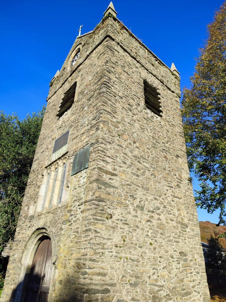
We now follow the path down the side of the Mill Yard using St Margaret’s tower as a landmark. Once we get to the main road we head left and then see the tower in all its glory.
The tower was once part of a church, but the rest of the building no longer exists – it was demolished in order to build a new and grander church – St James. The bells were however retained and are still used. Click here to read more
From the tower we walk southeast along the road for 500m or so until we find a well signed path on the left – this is part of the Dales Way. This takes us down to the banks of the Kent again, and we follow it downstream for a good while now, passing the concrete bridge we saw early in the day, then the apartments at Cowan Head, this time from the front.
Just beyond the apartments, we find ourselves on the well surfaces access road, and as it turns sharp right after about 300m, we need to carry straight on keeping along the side of the river.
After no more than 200m the path arrives back at Bowston where the walk ends.
Bentham Footpath Groups are rated according to the distance walked and the total ascent, and at fractionally under 12km, this one is classed as easy. The general consensus amongst our attending members is that it felt more like a medium, so if you are just returning to walking, it might be better to start with a shorter and easier route.
