Slaidburn is a great place to start a walk, with varied routes into the forest of Bowland, Easington Fell, and Stocks Reservoir. An added bonus is the fantastic drive over from Bentham, on one of the most scenic roads you could ever hope to use.
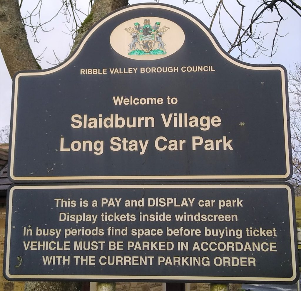
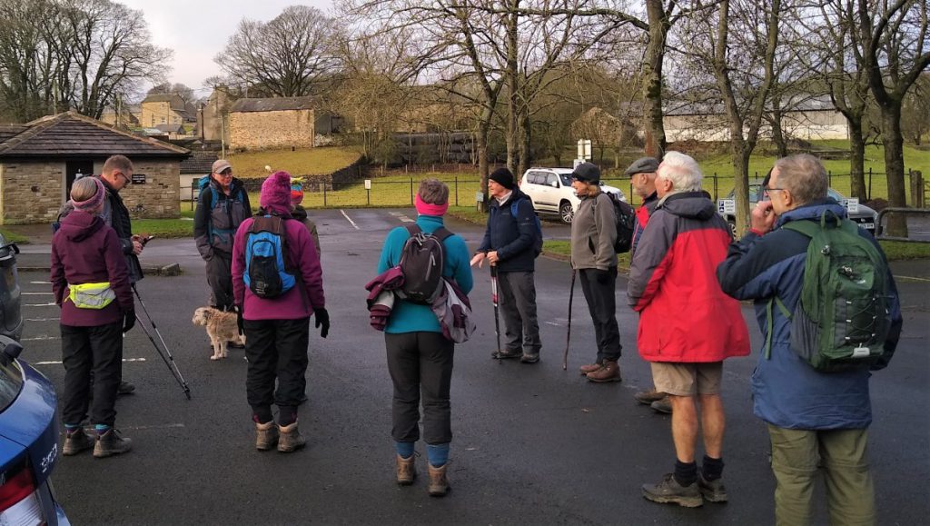
At Slaidburn, ample parking is generally available at the village hall pay & display car park, and adjacent is a good café for refreshments, and at weekends only, a chocolate shop. Public toilets are situated at the car park.
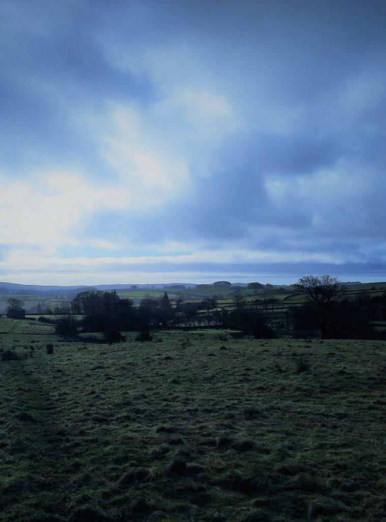
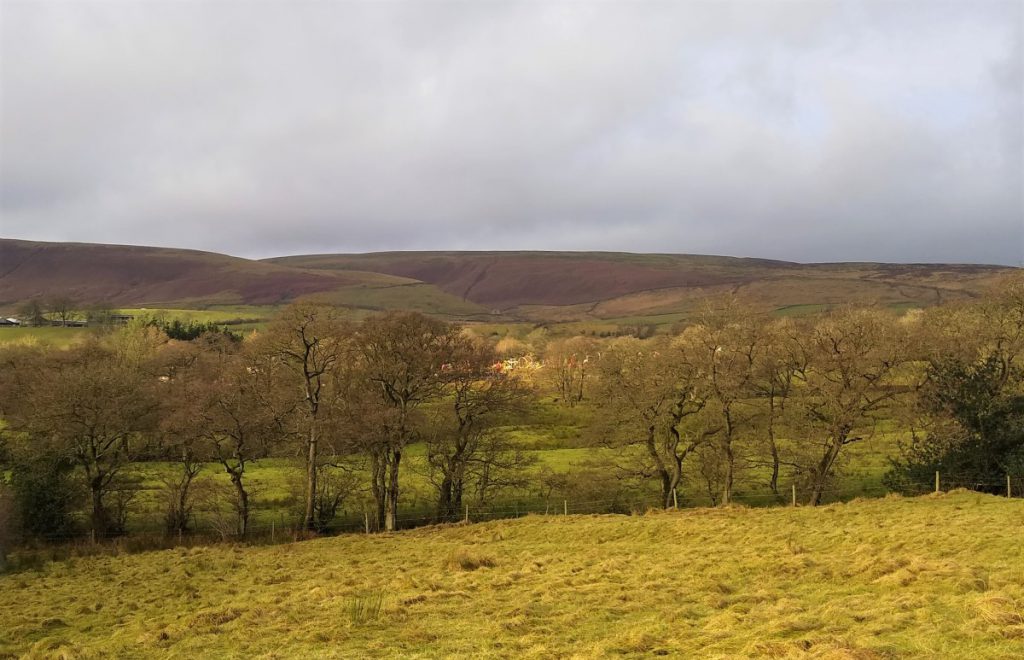
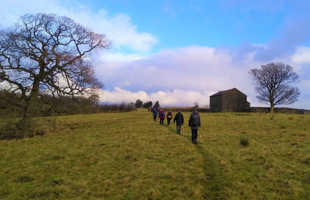
This easy walk takes us out of the village past the “Hark To Bounty” pub and then onto paths along the Croasdale Brook. We skirt Tenter Hill and then head North to the farm at Croasdale House where we set off back toward Slaidburn past Shay House. We re-join the road at Town Head and stroll back through the village to the bridge over the River Hodder – where we find the car park.Excellent views of the moors are available throughout.
The walk starts at the village hall car park in Slaidburn. If you are arriving from the Settle side of Slaidburn this is on the right just over the bridge as you enter the village. If you are travelling from Bentham, then turn left as you enter the village and you will find the carpark on your left as you reach the edge of the village. From the South, and Clitheroe, turn right as you enter the village and then look for the car park as you leave the far end off the village.
Postcode BB7 3ES should work for Satnav users.
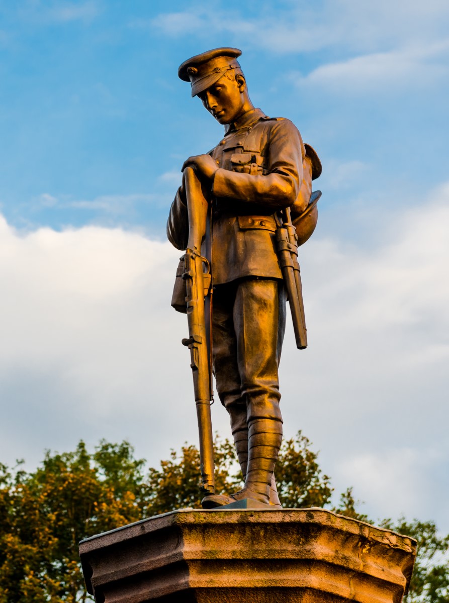
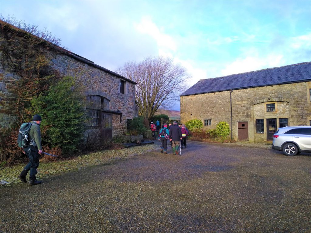
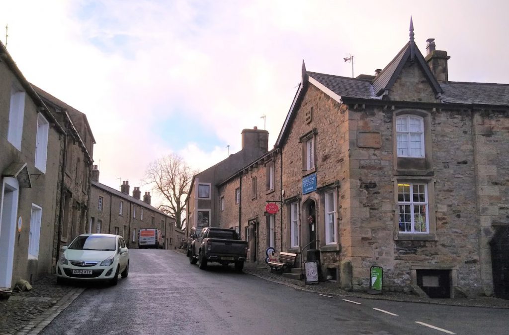
From the car park, we turn right onto the road and walk back up through the village up Chapel Street, noting the recently (2007) restored village hall, which provides a vibrant hub to this small community. We walk past the Riverbank Tearooms, and past Bowland Chocolates to head up to the war memorial in the centre of the village. This impressive monument records the names of 21 individuals from this small community who perished in the first war, along with two from the second.
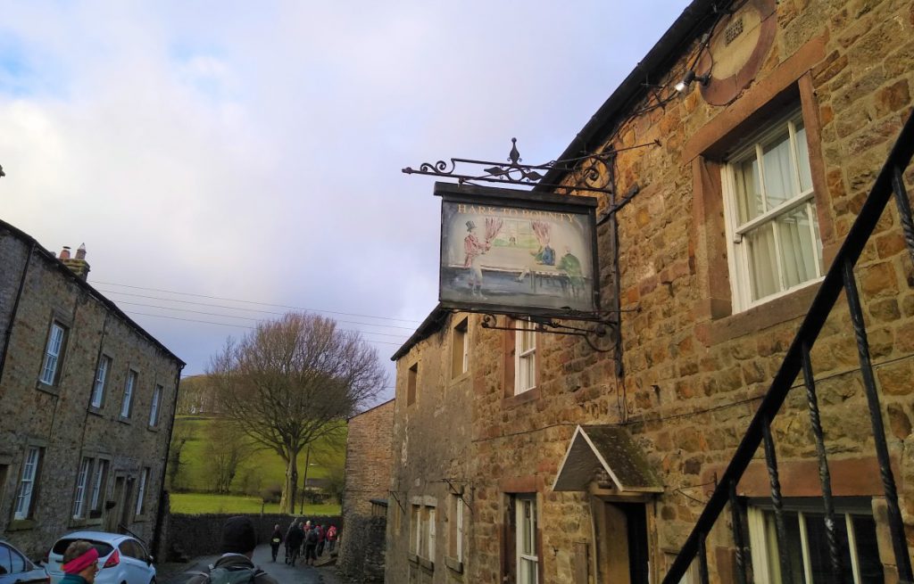
The road to Clitheroe leaves on the left, but we carry on uphill toward the unusually named “Hark to Bounty” pub. The story behind the name is interesting – the pub’s web site (https://www.harktobounty.co.uk/ ) tells us:
“The inn is reputed to date back to the 1300s, although most of the existing fabric of the building dates from the 16th century. The inn was known as The Dog until 1875, when the squire of the village, who was also the Rector, had a pack of hounds. One day whilst out hunting, he and his party called at the inn for refreshments. Their drinking was disturbed by a loud and prolonged baying from the pack outside. High above the noise of the other hounds could be heard the squire’s favourite dog, which prompted him to call out ….”Hark to Bounty!”
Upstairs in “The Bounty” is the Courtroom which was used as the local court from the early 19th century until the mid 1930s. This was originally the Manorial or “Moot” Court which dealt with local matters such as land transfers, disputes over land rights etc., in addition to the punishment of local miscreants. “
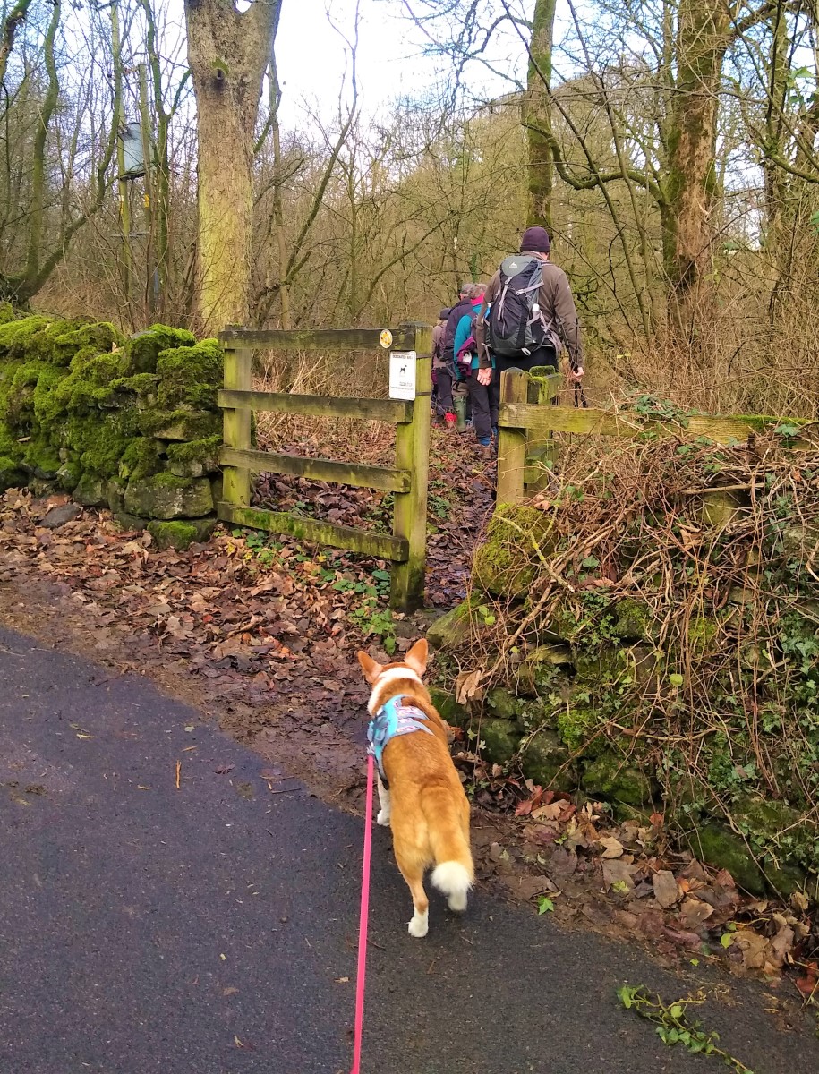
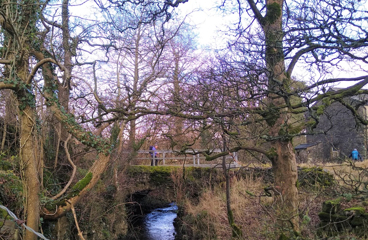
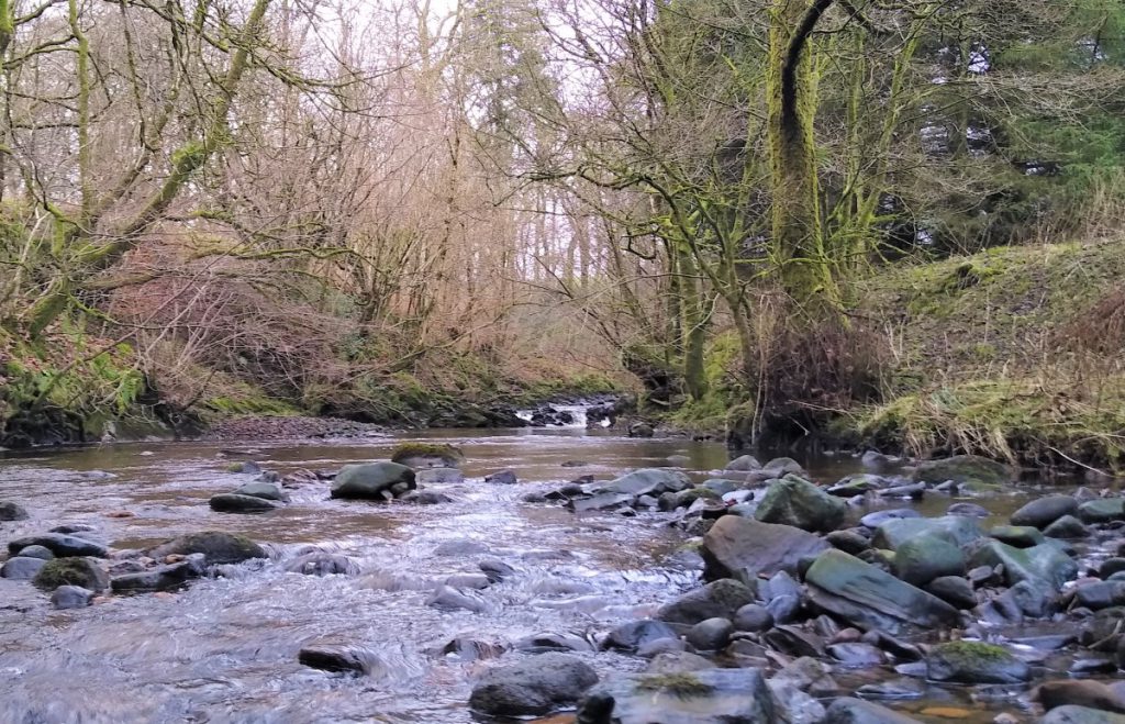
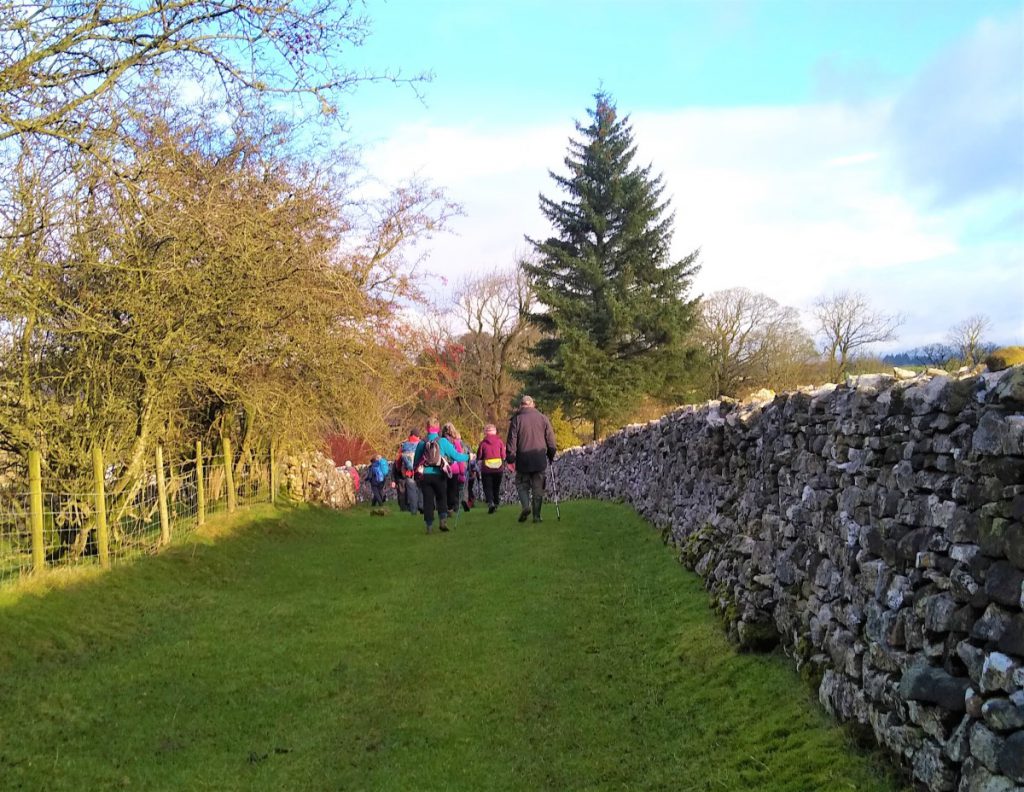
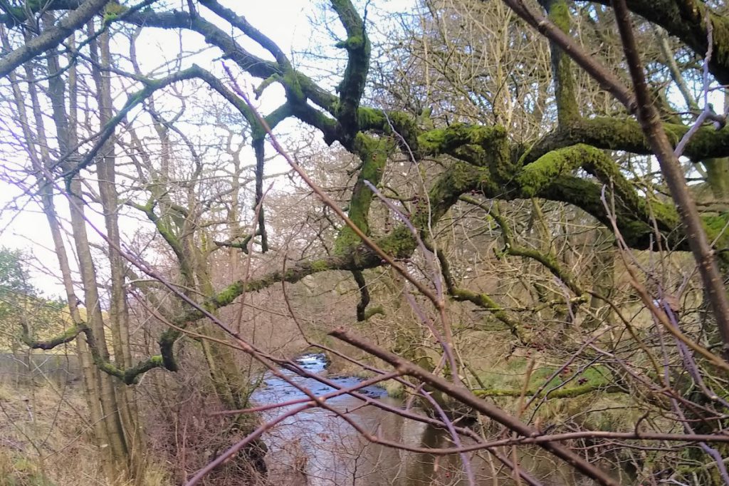
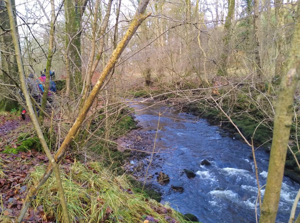
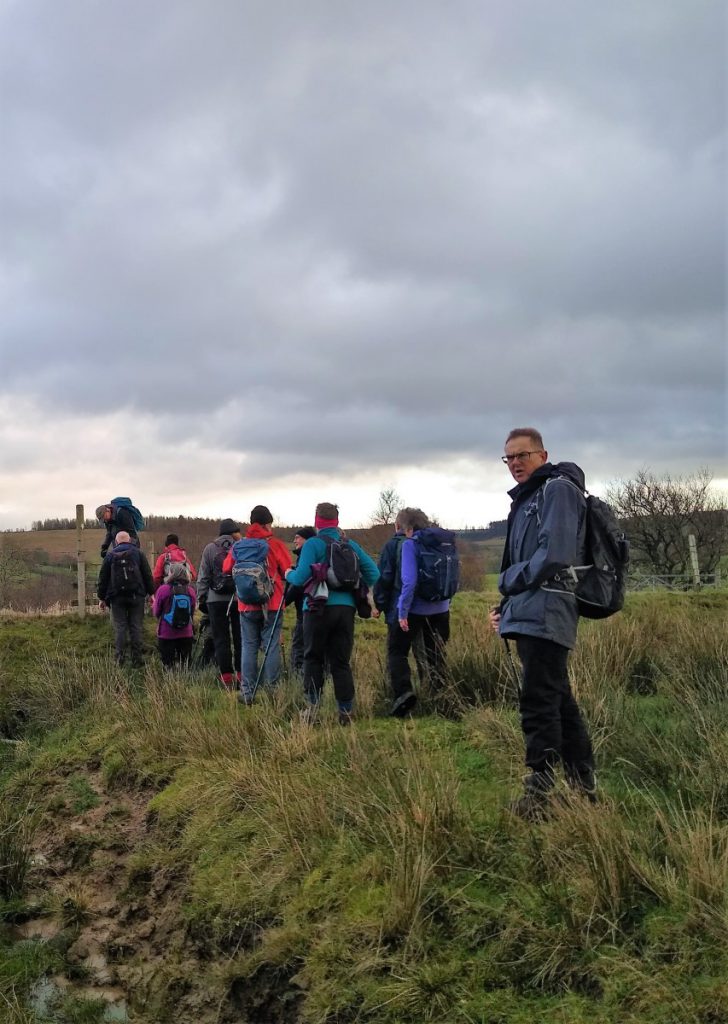
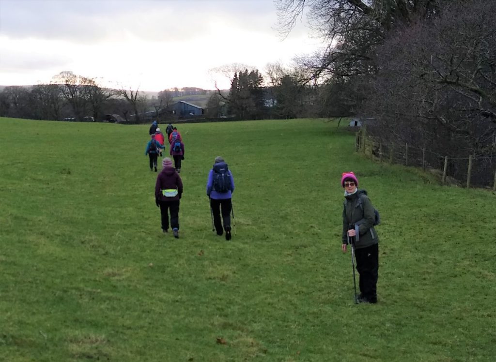
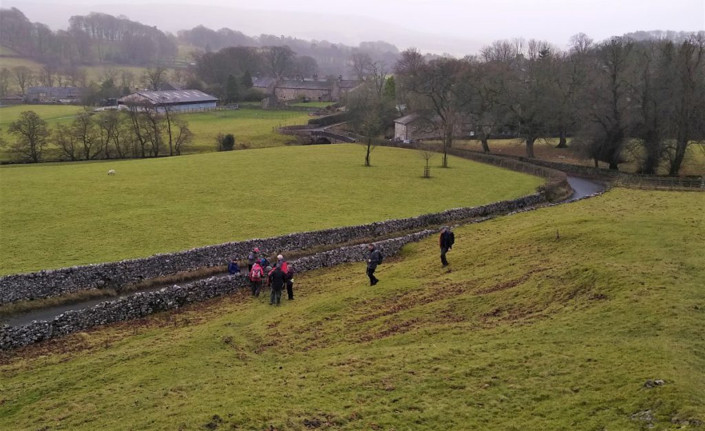
As we continue up the road, we soon encounter the modern health centre, and just past that on the right, we find a gate at the start of the paths we will be following. This leads us into Shay Wood, and down to a beck called Croasdale Brook, which joins the River Hodder in Slaidburn just beyond the car park where we started.
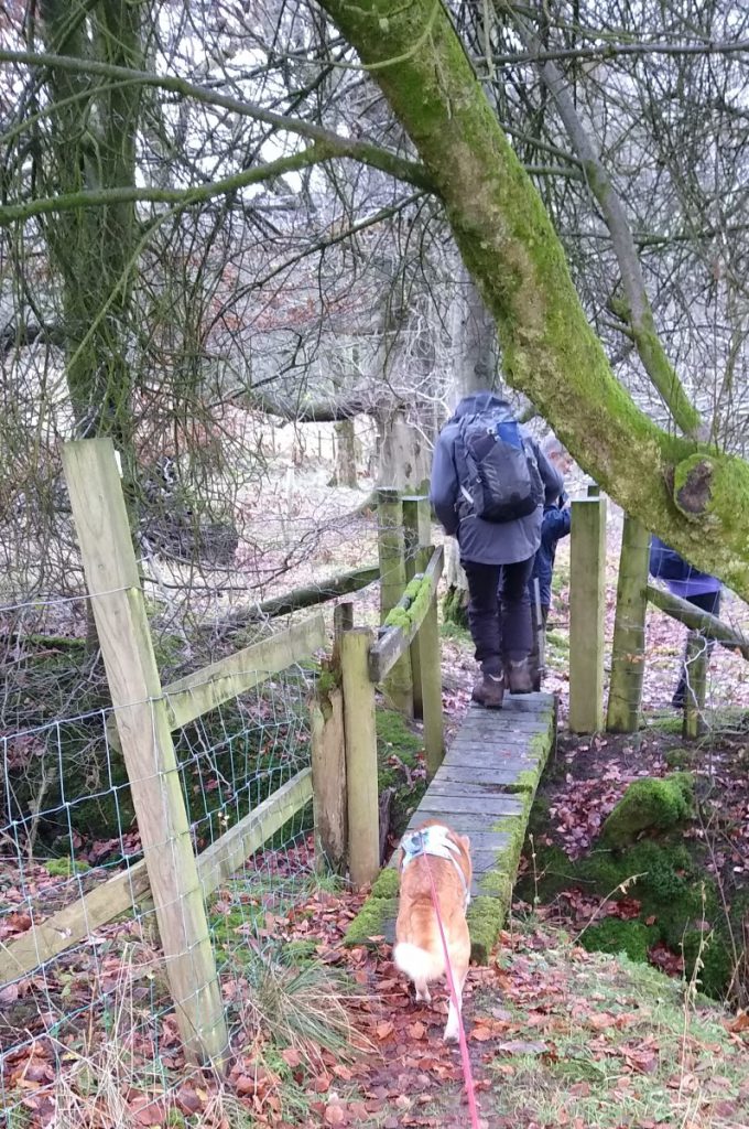
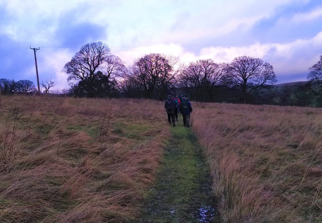
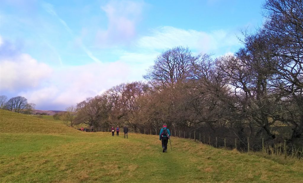
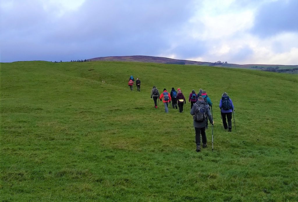
We follow Croasdale Brook upstream, tracking it through pleasant woodland taking a couple of stiles through walled field boundaries. We soon leave the Brook though, and exit the woodland. The Brook is now on the other side of a small hill called Tenter Hill and we walk through open fields in a NW direction, keeping the field boundary on our right.
We cross a farm track and continue down to the right hand corner of the field where we cross a boundary and head in a more Northerly direction, again keeping the treeline on our right. We have now re-joined the Croasdale, which is now on our right just beyond the trees.
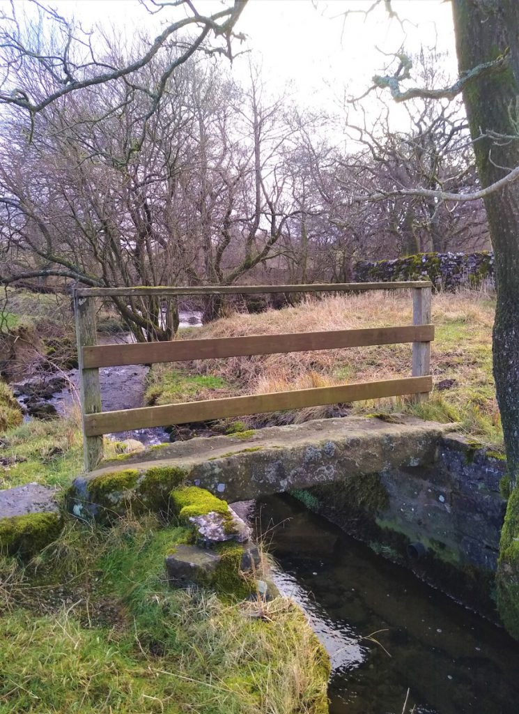
The river soon turns sharply to the right, and at this point we cross Tinsley Bridge over a side stream before heading North across open land to arrive at the far corner of the field where we take a gate and turn NW along a drystone wall to see building ahead of us.
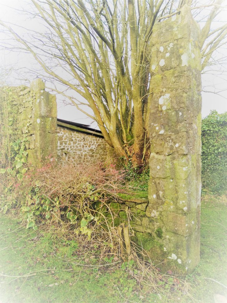
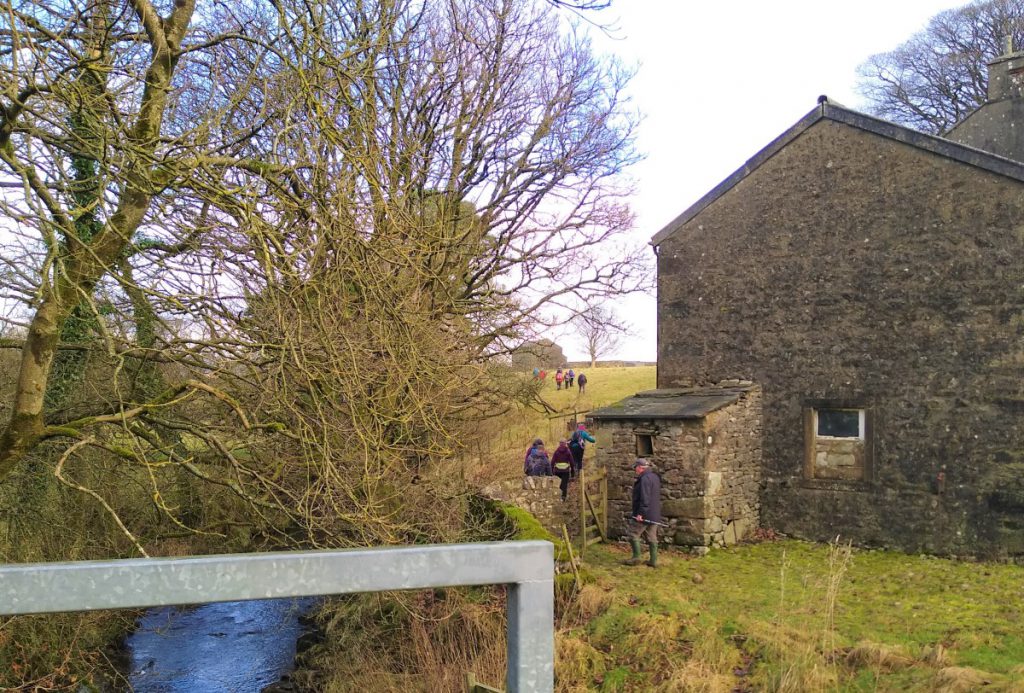
We continue to follow the wall, turning right as it does, to arrive at the buildings, which reveal themselves to be a small collection of attractive houses – although there was clearly a larger building here are some stage as partial remains show.
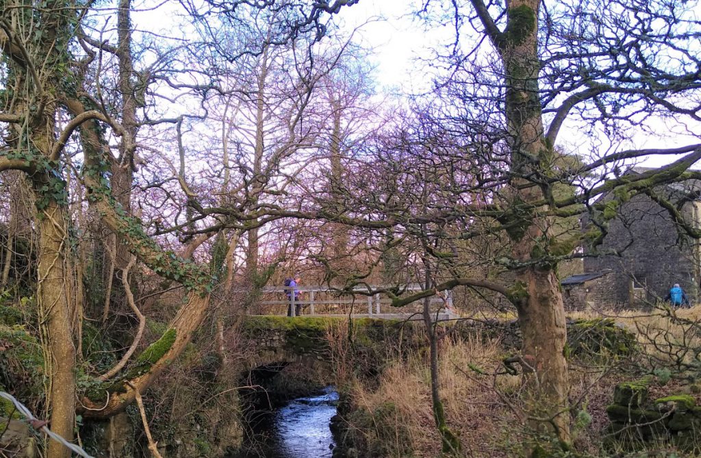
We walk between the buildings and soon see our path outward on the right between the more northerly houses. Having cleared the stile, we head North and again see a stream on our right, as we head toward the top right field boundary. This is not the Croasdale Brook though – this is the Lanshaw Brook, a tributary. Here we see an attractive road bridge over the Brook, which gives access to the aptly named Bridge End Farm. We cross the bridge and then take a sharp left before the farm buildings to head North again through open fields. The Moors are now clearly visible on the left, and in the right conditions, the view is spectacular – although the “giraffe necks” of a farm machinery dump are less attractive.
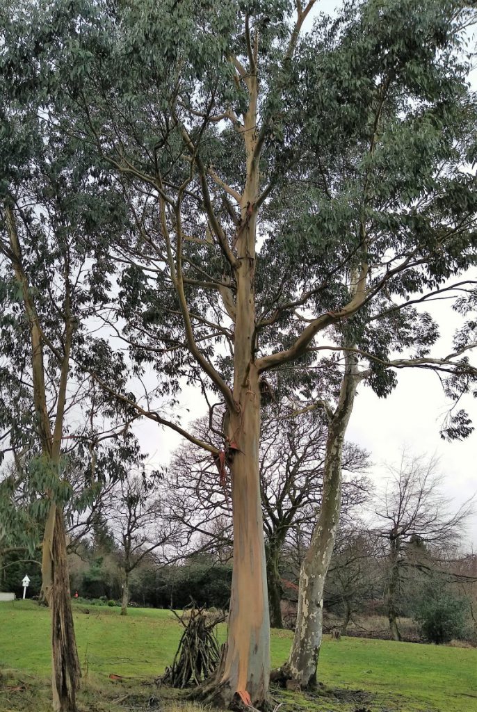
We continue to head North crossing several field boundaries, to see a large light coloured house ahead of us. As we approach this, the path turns right, and we pass the side of the house and its garden where we see a Eucalyptus tree – an unusual sight for the Forest of Bowland.
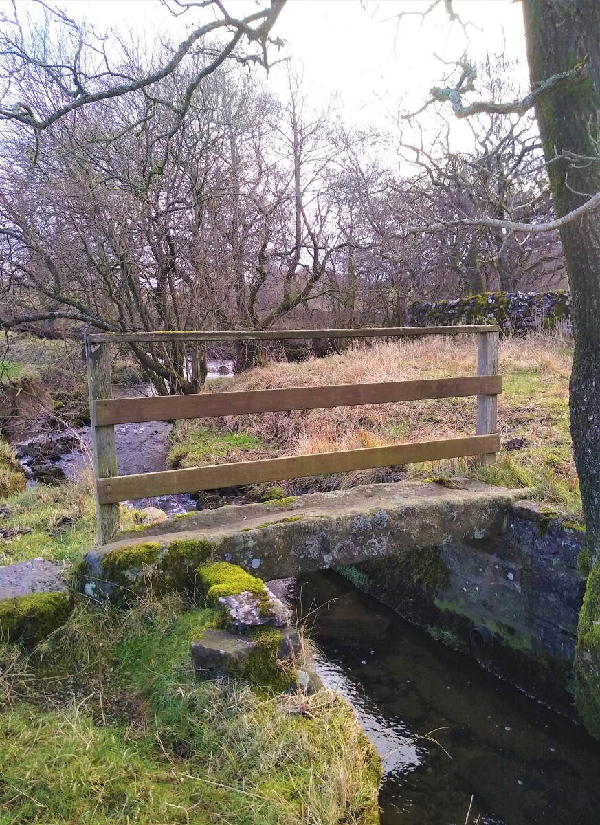
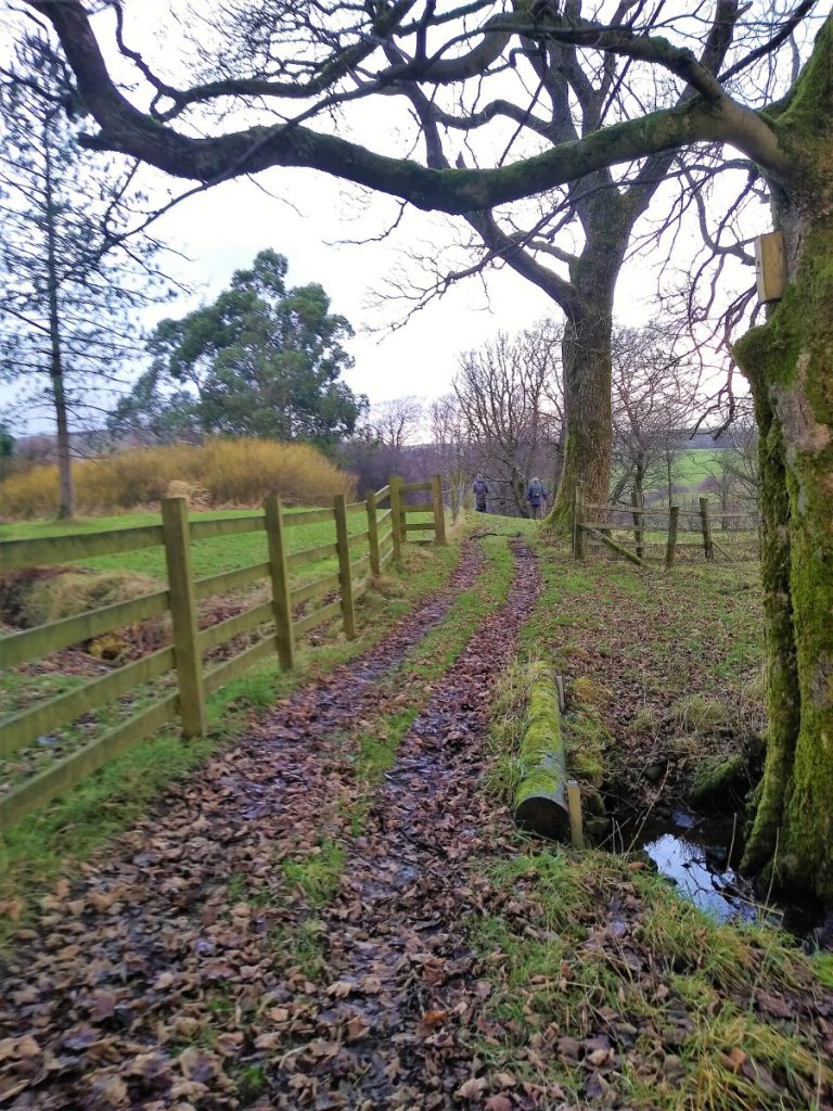
The path now re-enters woodland (Midgram Wood) and we take a small wooden bridge to follow the path down hill to find the Croasdale Brook again.
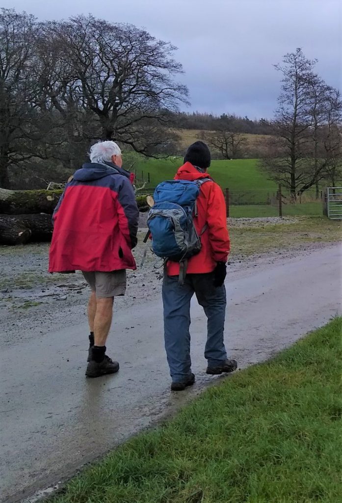
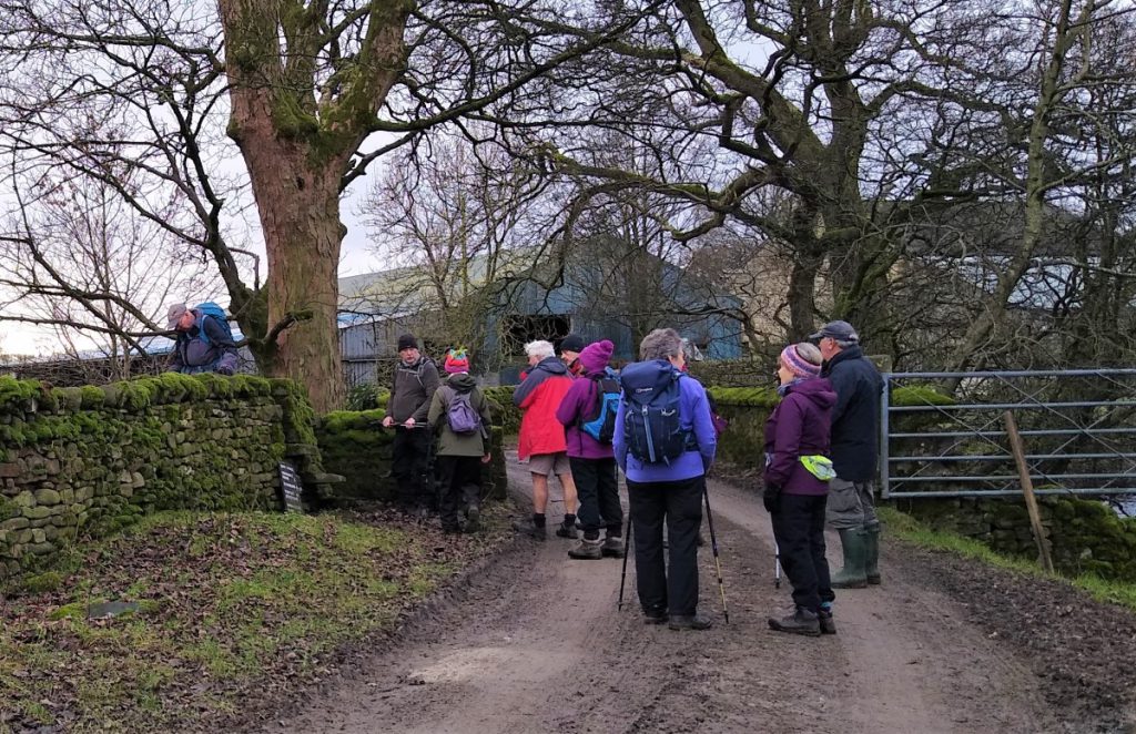
There is a small road bridge over the Brook. We cross this and then turn right to follow a well made farm track. This turns first left and then right to take us past the farm (on our left), still on the lane.
Past the farm, our path leaves the lane – in essence we stick with the field boundary on the right and stay close to the tree line and the Brook as we head toward another farm in a Southerly direction. These farm buildings are at Shay House where we find a stile onto a small road with another stile almost opposite – which we take. The river remains on our right.
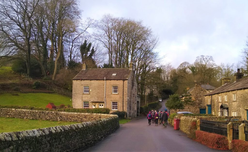
The path is now simple: We head in a consistent Southerly direction crossing field boundaries at clear gates and stiles to head back toward Slaidburn. We pass through a small wooded area, planted to provide shelter for the large house at Townhead, and as we emerge from the trees and see the village come into sight, we also see the road to Bentham which the path joins at a stile.
At the Bentham Road we turn right, and walk a short distance down this quite lane to the village where we again cross the Croasdale Brook after which we turn left and head back to the village green and the car park where we started.