Silverdale is a popular walking area, offering fine views in clear weather, and the area is one that the Bentham Footpath Group often explores.
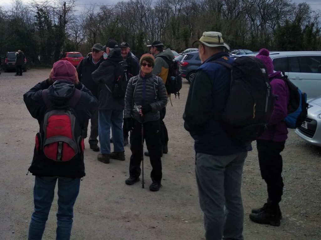
Our walk starts from the car park at the RSPB centre at Leighton Moss. This is NOT a public car park, and the group had specific permission to park, so to follow this walk you may need to find alternative parking – or pop into the RSPB and see if they will permit parking in exchange for a donation.
To find the start, satnav users can rely on LA5 0SW, What three words fans can use steam.cooked.sleeping and paper map users need reference SD47627505.
From the car park the route is . . .
Via the golf course to Hagg Wood
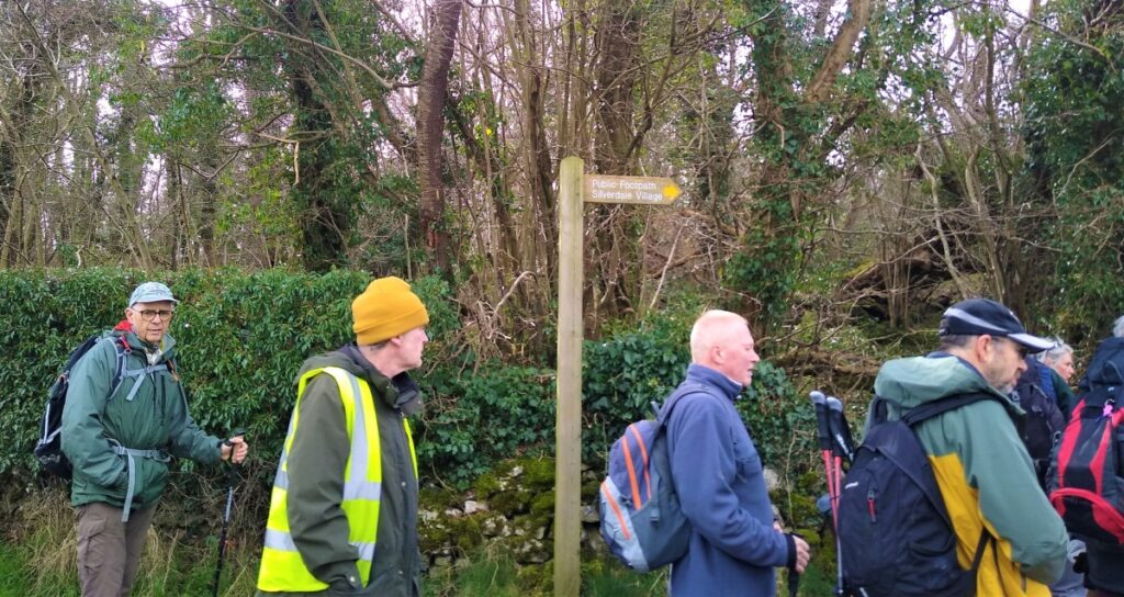
To the edge of Silverdale village
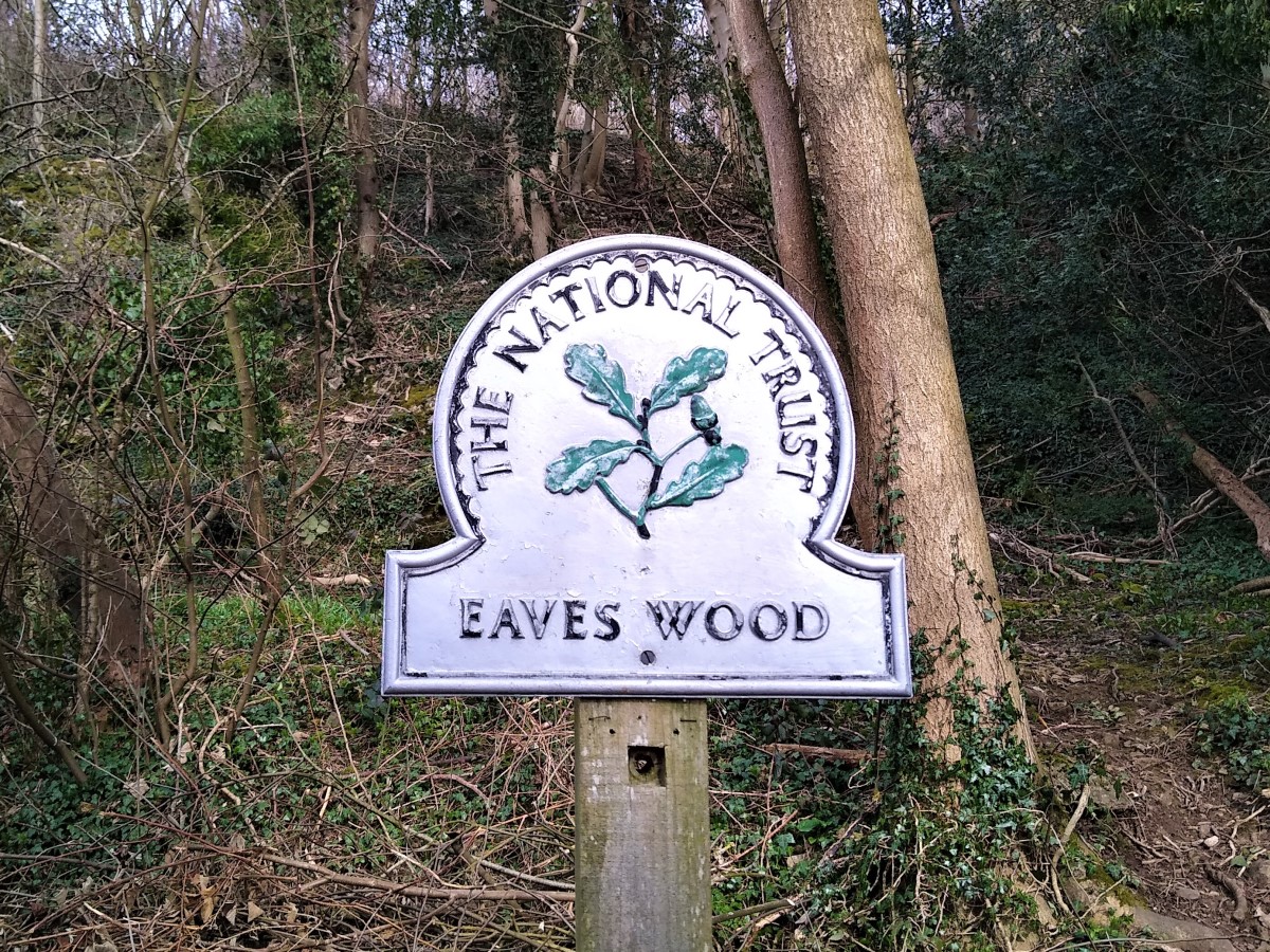
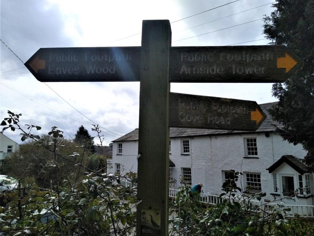
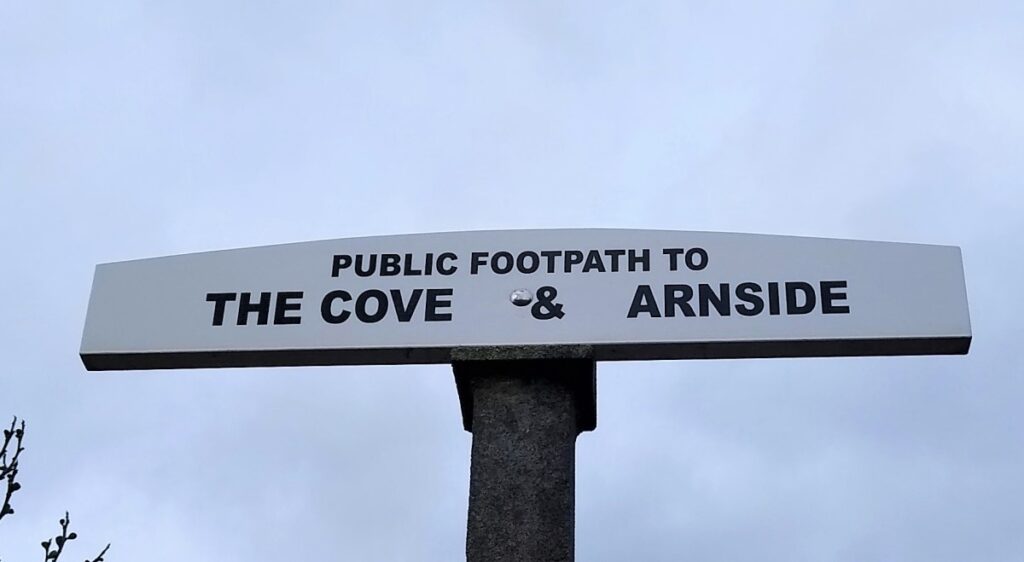
To The Cove, then up to Eaves Wood
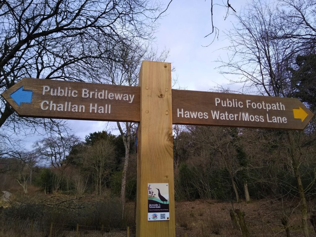
Behind Challan Hall to Hawes Water and Yealand Hall Allotment
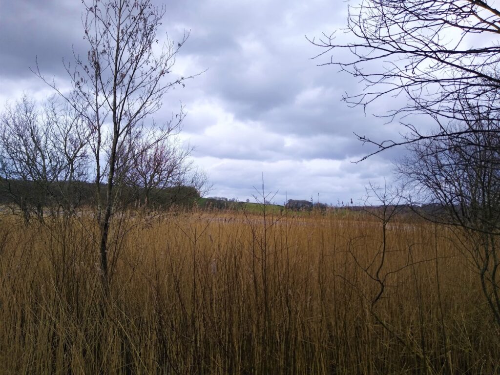
Finally across Leighton Moss to return to the RSPB centre.
We rate this walk as moderate, simply because it’s quite long, but the ascents are gentle and the paths easy, so if you normally prefer easy walks don’t rule this one out.
From the car park exit at the RSPB centre, turn right and head uphill to the main road and turn right passing Silverdale Station on your right. As the road start to veer left and away from the railway, look out for a path across the golf course on the left hand side of the road.
Take the path across the golf course – sticking to the clearly marked route which heads uphill to a stone wall – and then join a minor road and turn right.
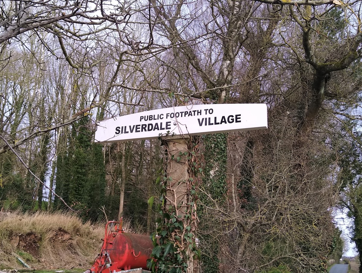
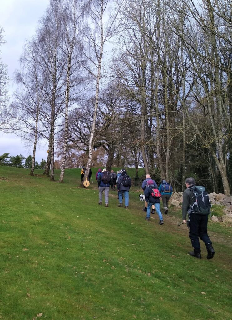
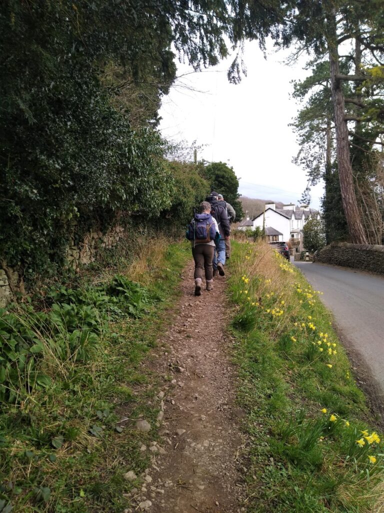
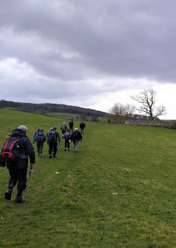
We follow this minor road for a short while – until on the left we reach open fields and a clearly signposted path toward Silverdale village. We take this path – and note as we do so that the woodland in the distance ahead is Eaves Wood – we walk through the wood later in the day.
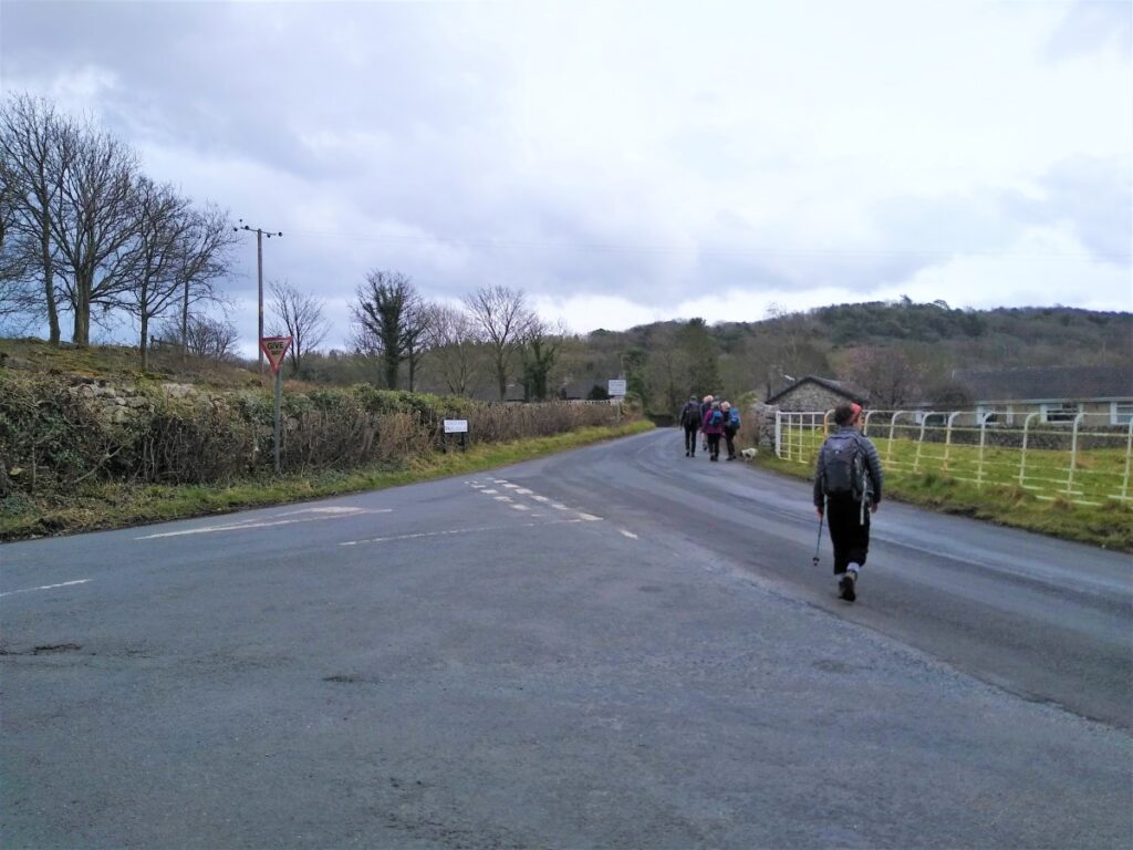
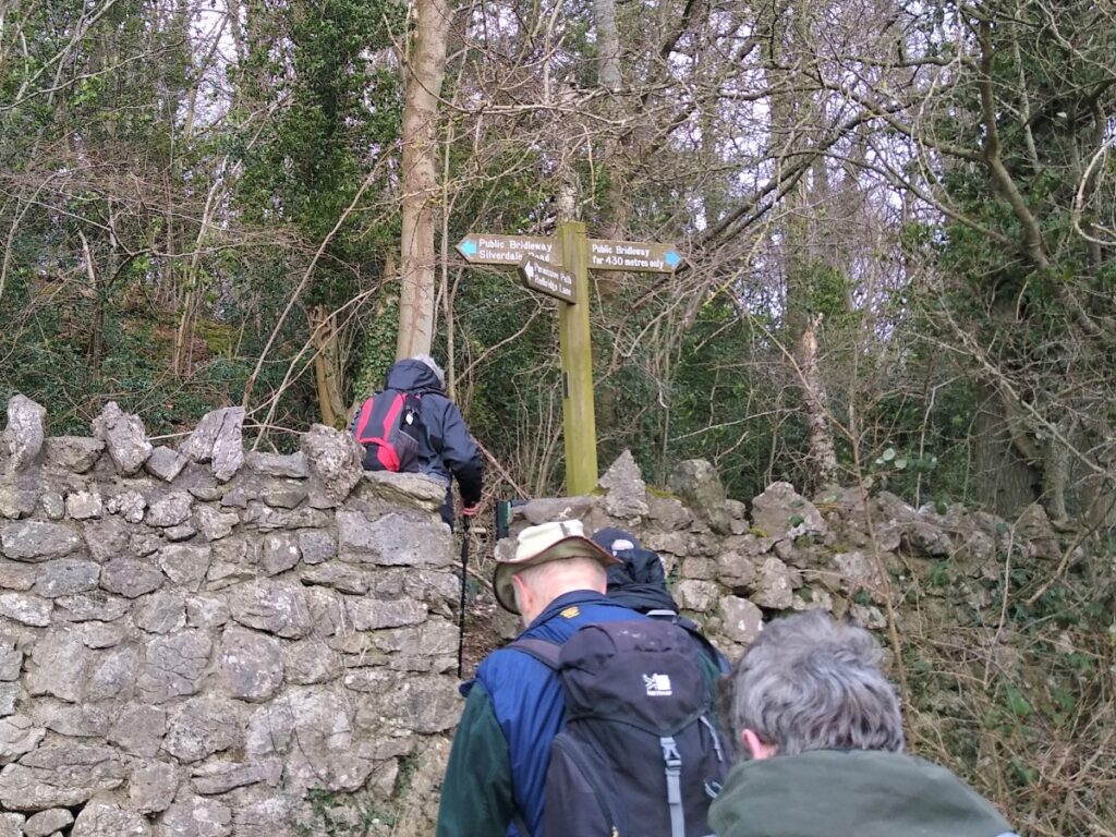
The first part of the path toward Silverdale takes us along the edge of Hagg Wood, to meet a minor road where we turn right, to see the next section of the path on the opposite side of the road almost immediately. As we enter the fields to head toward Silverdale, notice that the path forks: Ignore the route up the other side of Hagg Wood and head straight on toward the white painted houses at Silverdale.
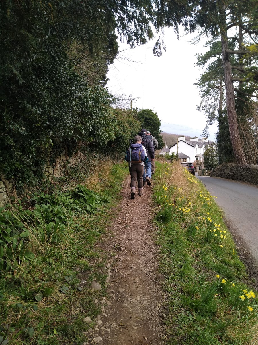
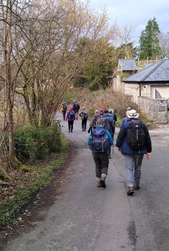
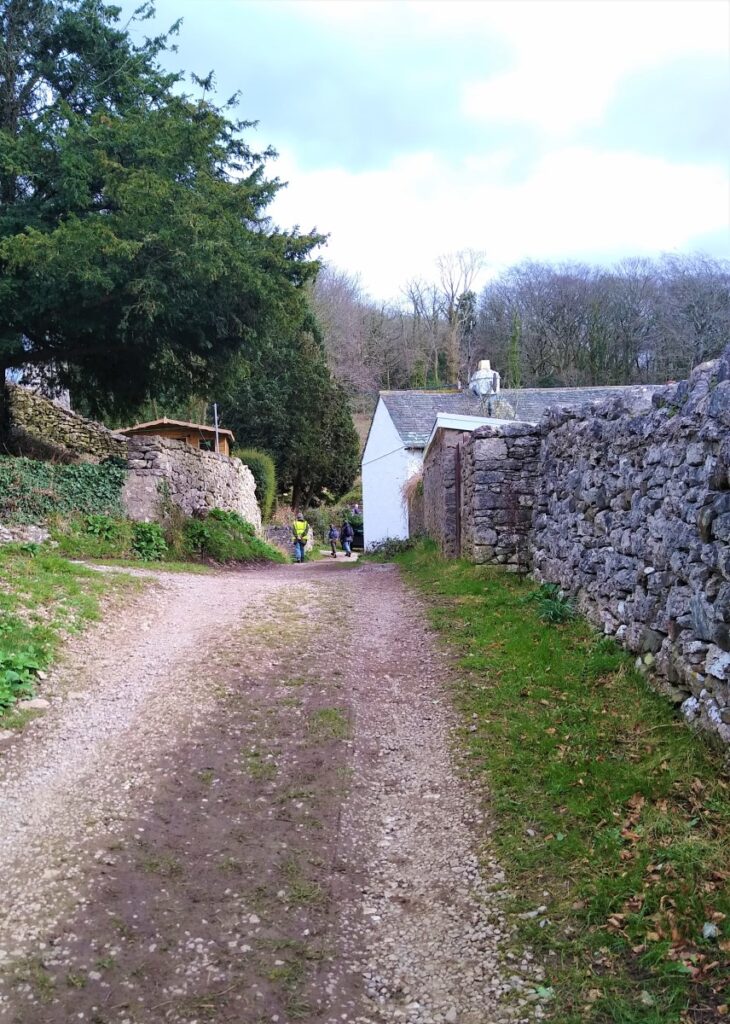
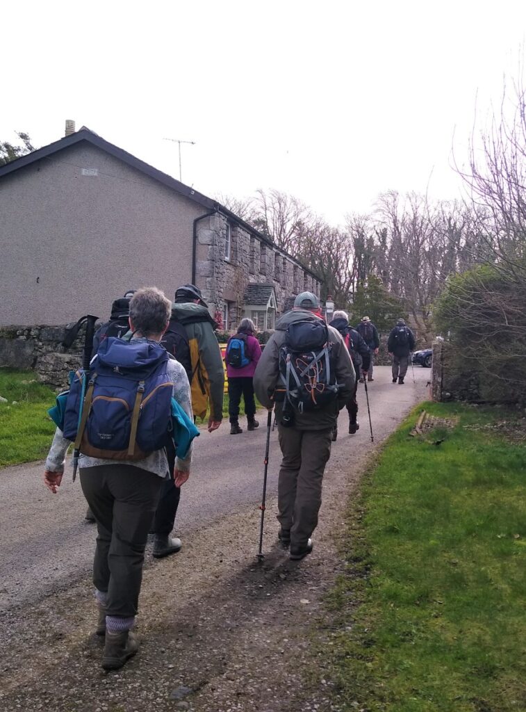
The path passes behind a cottage – the path is clear but may not be visible until you are nearly upon it – so aim for the right hand side of the house. Once past the house turn left and head up the track – this takes you along the back of the houses at the edge of the village and eventually to Stankelt Road where we turn left.
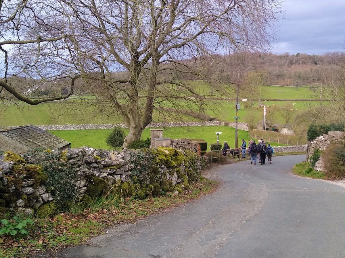
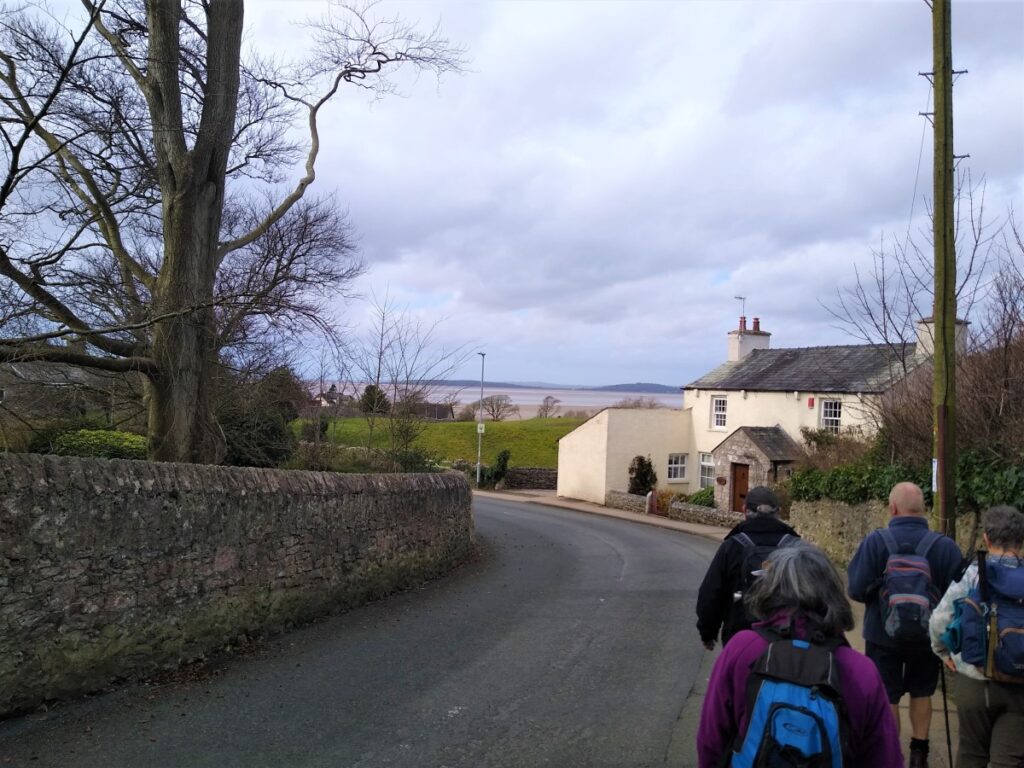
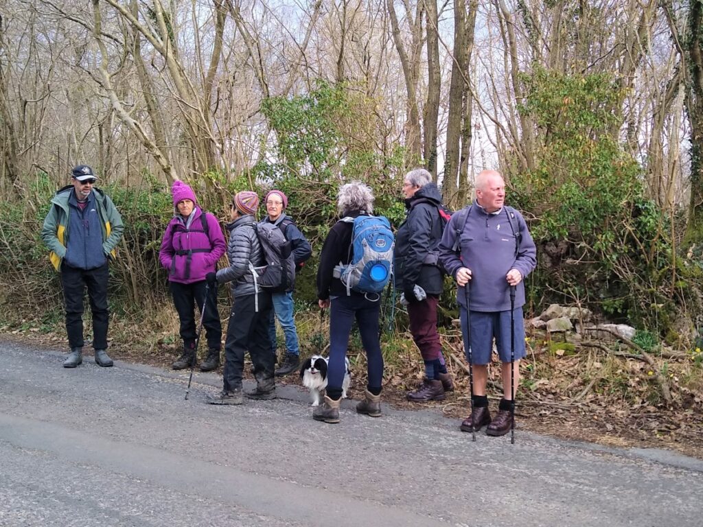
We now head West into Silverdale passing Scout Wood on the left. Stankelt Road turns right in the village, but we head straight on and then veer left along Lindeth Road keeping an eye open for the steps up to the path over the headland to The Cove.
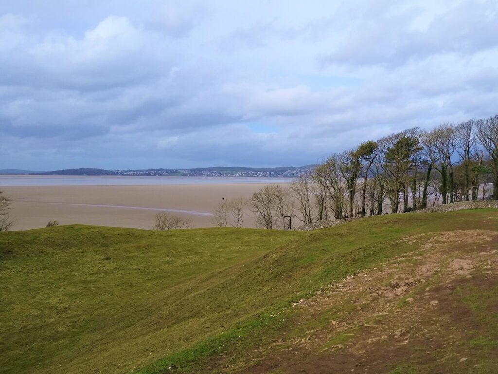
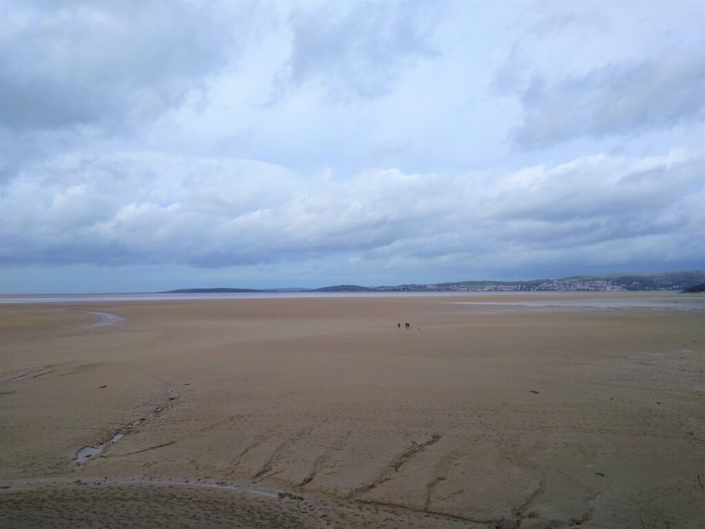
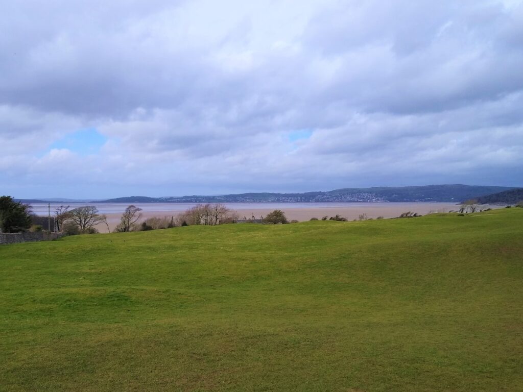
Views across the Bay and the Kent Estuary now open up as we head Northwest to the Cove – a good spot for a break. Note that if you want a more adventurous route from Silverdale Village to the Cove you can carry on past the path we took, take Shore Road down to the beach, and then take the Lancashire Coastal Path along the beach to The Cove. BUT . . . This can be tricky in wet conditions so take care.
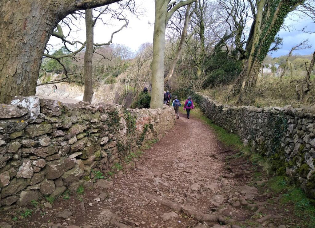
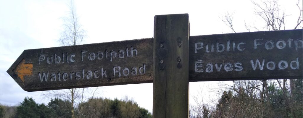
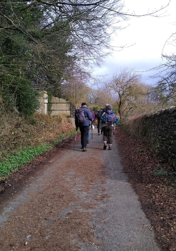
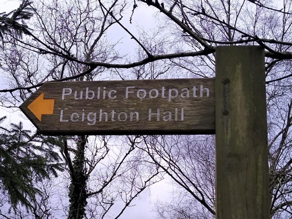
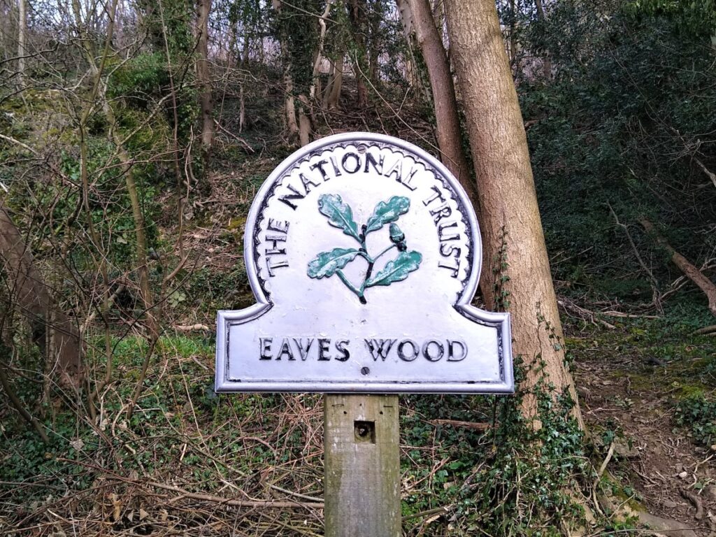
From The Cove, we head Northeast up the lane to the minor road and turn right along the road for a short while to reach Elmslack, where we find a narrow path rising up from the road on the left and heading toward Eaves Wood.
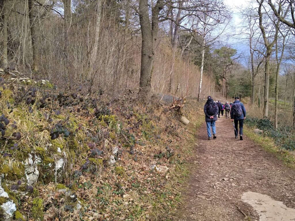
At the edge of Eaves Wood, a number of paths come together at a convenient bench. We turn right and walk gently uphill with newly coppiced trees on our left.
You may notice a path down through fields on the right to return to Silverdale. Ignore this and press on. Similarly, ignore the next set of signs suggesting a path down to a car park, also on the right.
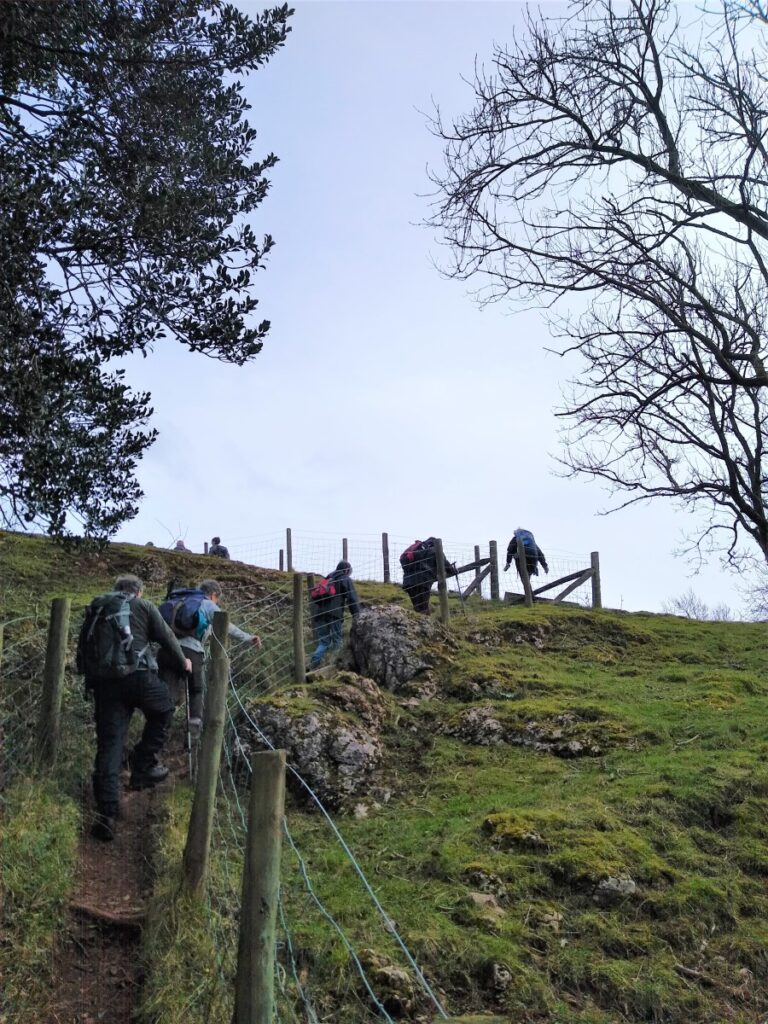
Our path continues Northeast, crossing the railway – obviously taking care and respecting the lights – to meet a minor road, where we turn left. Almost immediately we see a footpath sign on the right hand side of the road, and we take the path which rises steeply for a short distance before levelling out and approaching a small road.
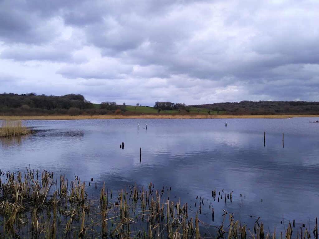
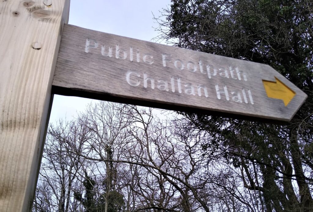
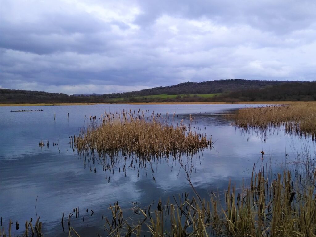
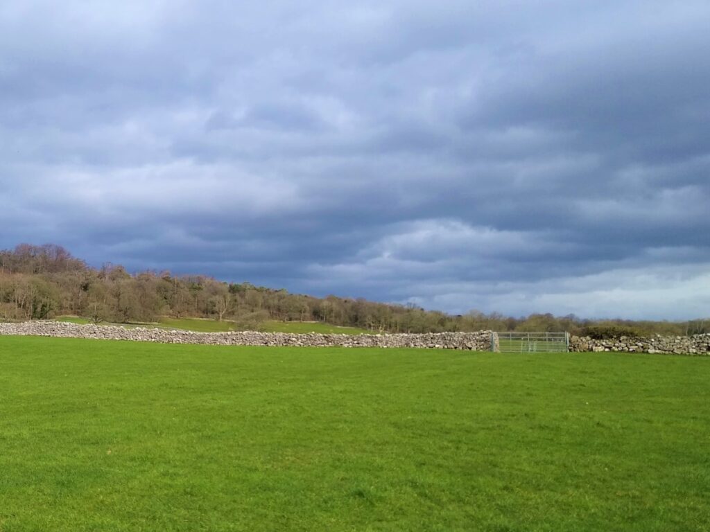
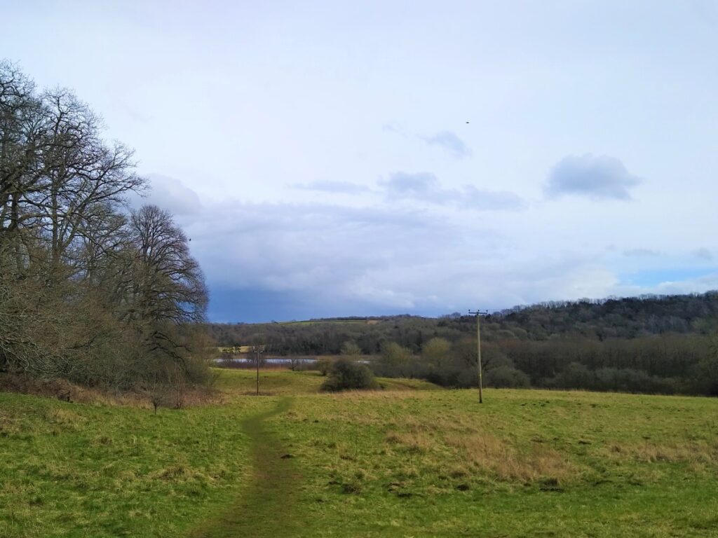
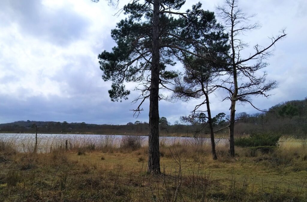
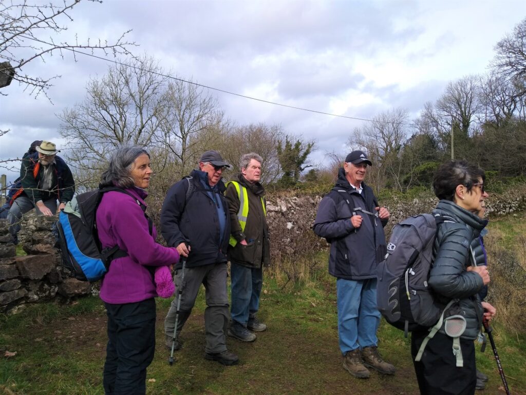
We cross the road and take the clearly signed path around the back of Challan Hall – noting good views over Hawes Water to our right.
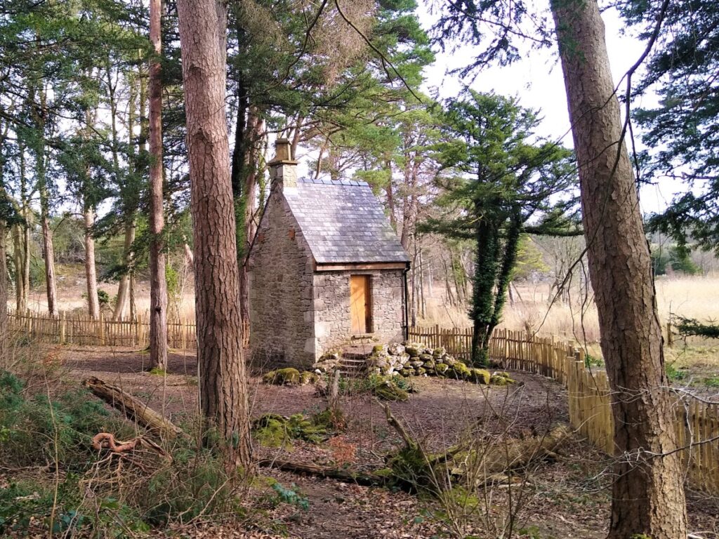
We enter the Woodland of the Gait Barrows National Nature Reserve, passing the “fairy house” on the right before meeting a junction of three paths. Here we turn sharp right and continue to follow the route around Hawes Water.
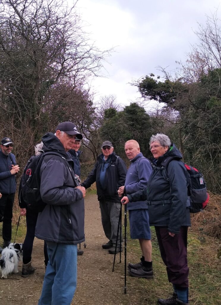
We soon reach an open area where trees have been felled and long trunks left to provide convenient seating. This is a good spot for lunch.
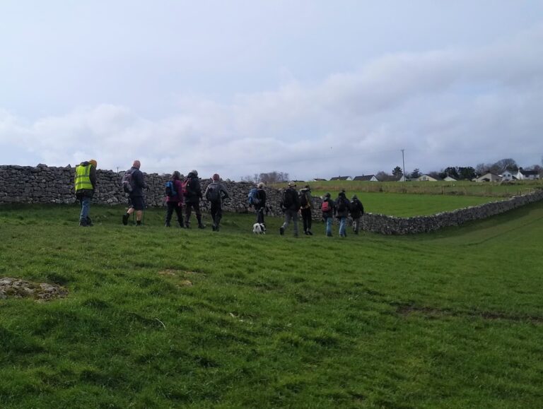
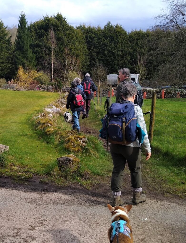
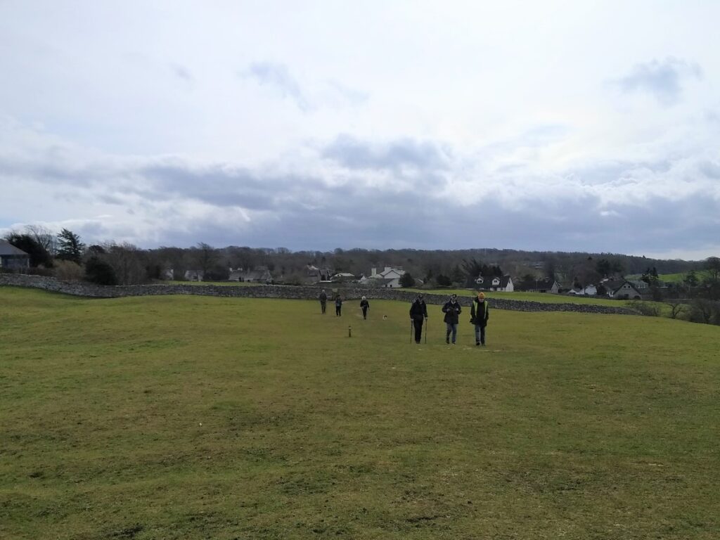
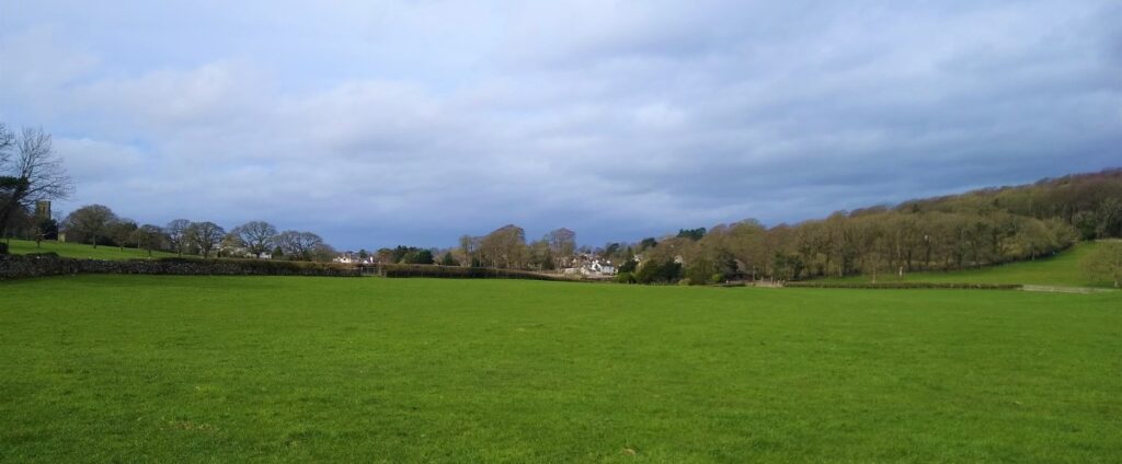
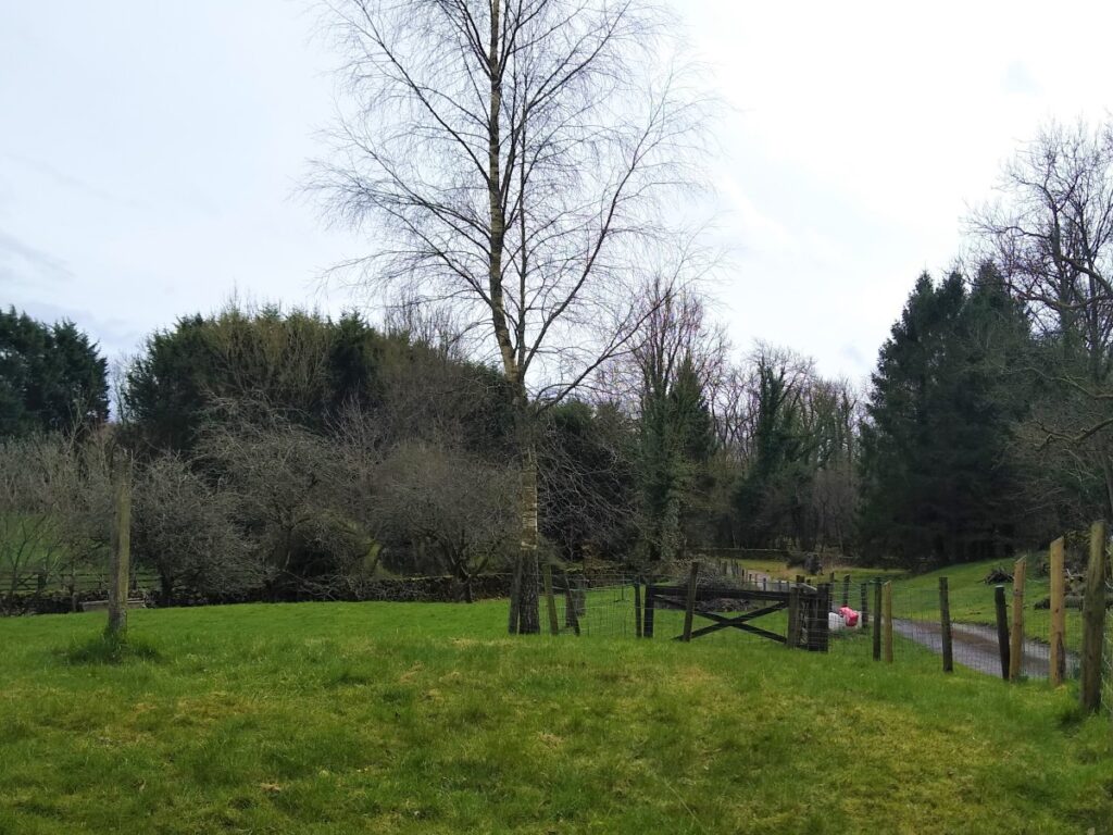
As we continue, we leave Hawes Water, and take the path through the fields in a Southeast direction, heading for the woodland at Yealand Hall Allotment. At the woodland the path merges into a track and we soon find ourselves at the road junction at Yealand Storrs, where we turn gently right (not the sharp right which doubles back).
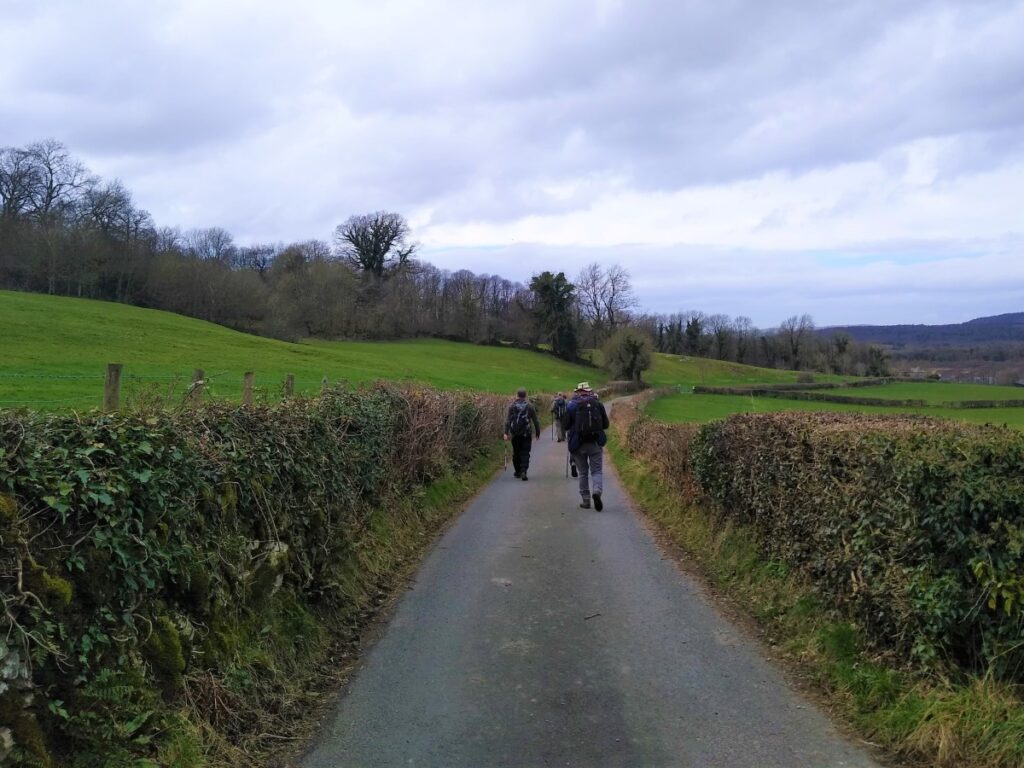
We follow the road round to a left hand bend, and on the apex of the bend we find a clearly marked path between houses and into open fields – we are now heading South.
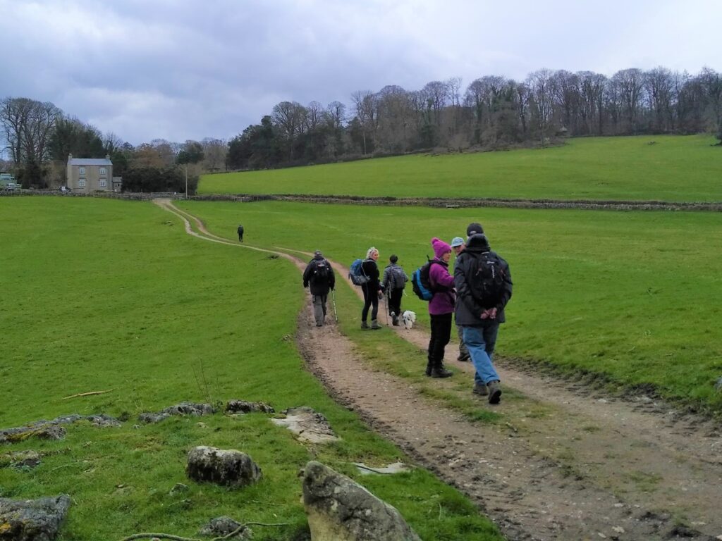
We follow this route – which widens to become a track for good while, until we arrive at a small road at Leighton Hall Home Farm. Here we turn sharp right and follow the quite road gently downhill toward the corner of Grisedale wood.
The road veers left and becomes to a farm track. Just past a buttressed barn on the left our route takes a sharp right to head over Leighton Moss, through the causeway at the RSPB reserve.
At the end of the causeway, turn left on the minor road and walk a short distance to find the carpark and the end of the walk on the right.