Jump to . . .Step by Step | OS Map | Downloads | Gallery | Fly through
Just a short distance from home, this walk is easy and short enough to do in a morning or afternoon when the opportunity arises, and the weather promises fine views.
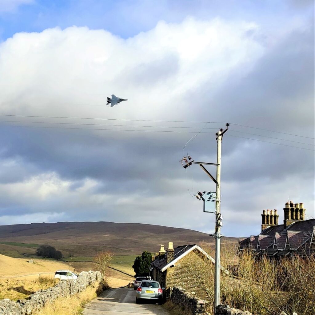
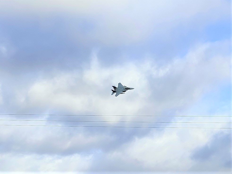
It features great views of the three peaks, a heronry, wild deer, a bailey bridge, listed buildings, nature reserves, academic research sites, and given that it runs along the Settle to Carlisle railway, the off-chance that you will see a steam train or be buzzed by the RAF.
What more could you want in less than 6 miles?
- Total distance 9.5 km (5.9 miles)
- Total ascent 181 m
- Easy walk
Step-by-Step
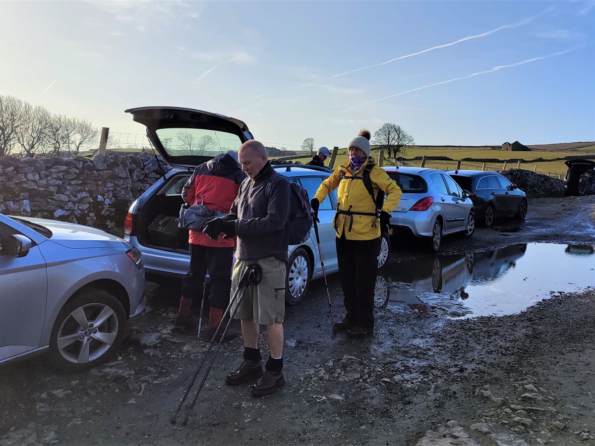
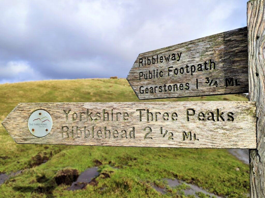
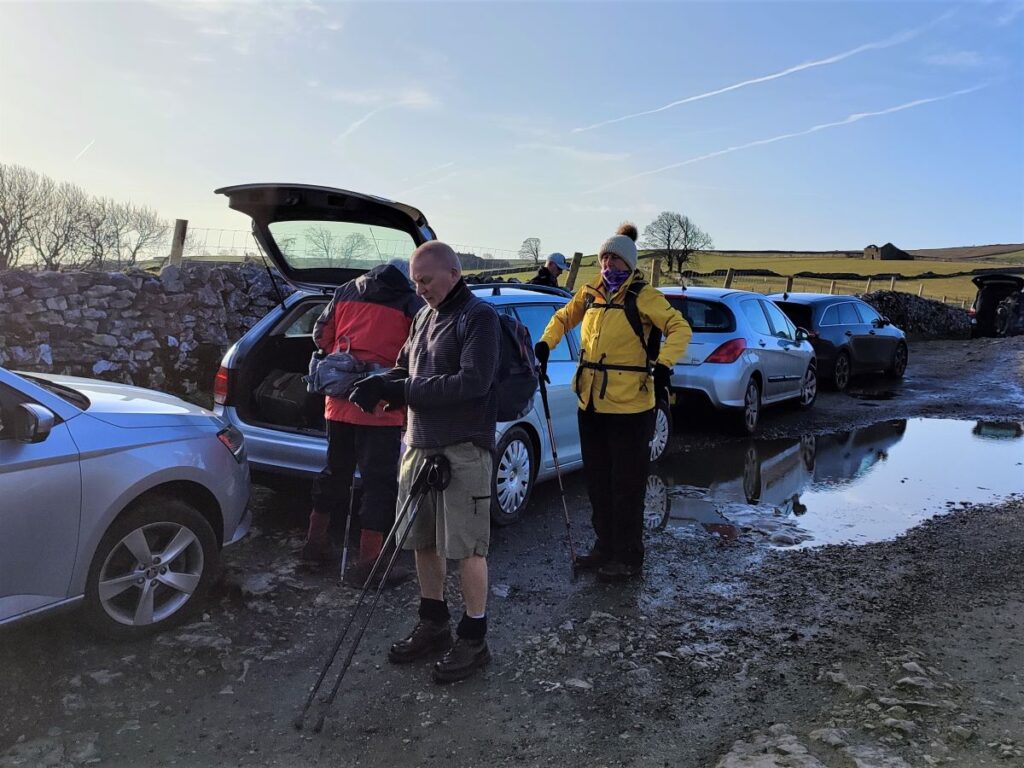
Our walk starts on a rough lane just off the B6479 which runs between Horton in Ribblesdale and Ribblehead. If you are approaching from the Ribblehead end of the road, the lane is on the right just before Selside – and if you are coming from Horton, then you need to drive through the village and turn left just after the last house on the right. The lane we are using leads to Alum Pot and a number of other caves, so parking is at a premium. An early arrival may therefore be wise in the peak season.
The OS grid reference for the parking is SD78277576, and the what-3-words tag patrolled.reporting.finger pinpoints it accurately. If you are using satnav to get to the start, then the address is Shaw Old Lane Selside, but please be aware that there is another Selside near Kendal – so take care to pick the right one.
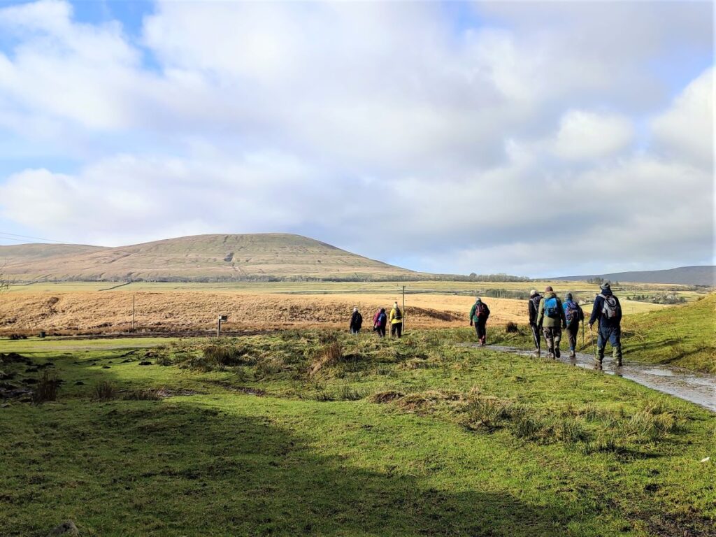
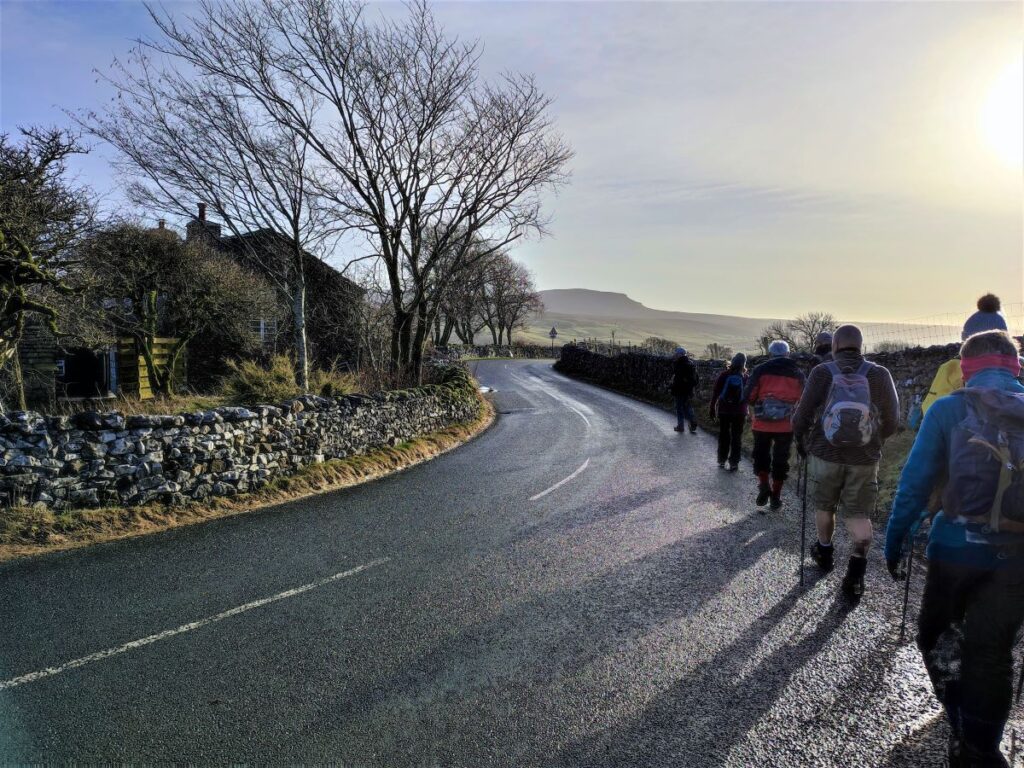
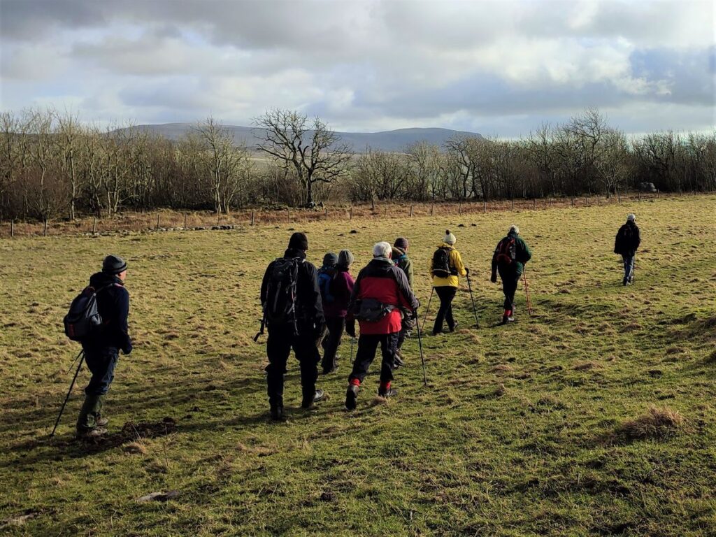
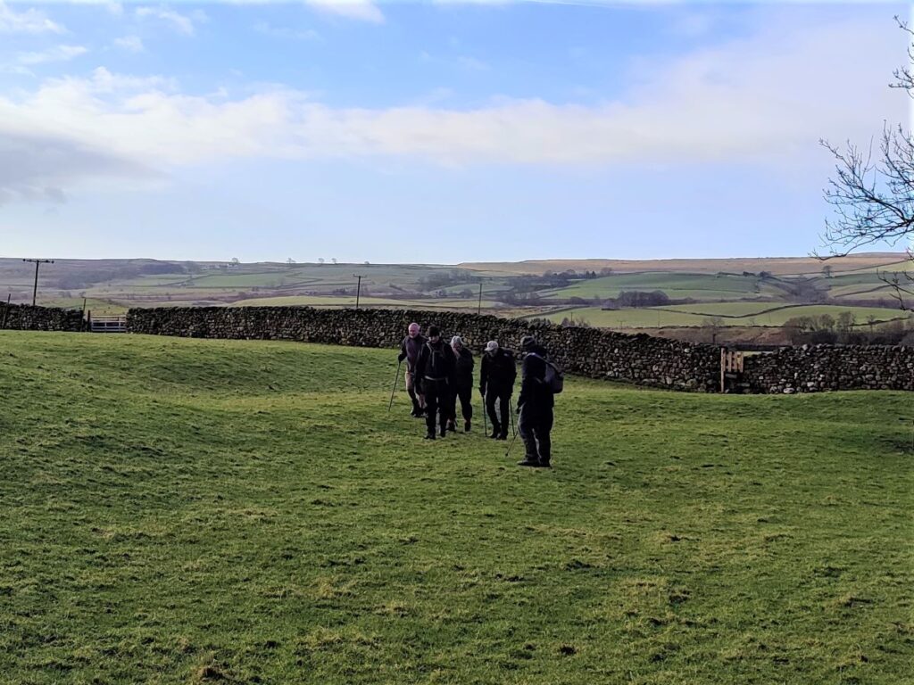
We start out by heading back down the lane toward the main road, where we turn right, and walk down toward Selside. The road is not particularly busy, but what traffic there is can be heavy quarry vehicles, so care is required.
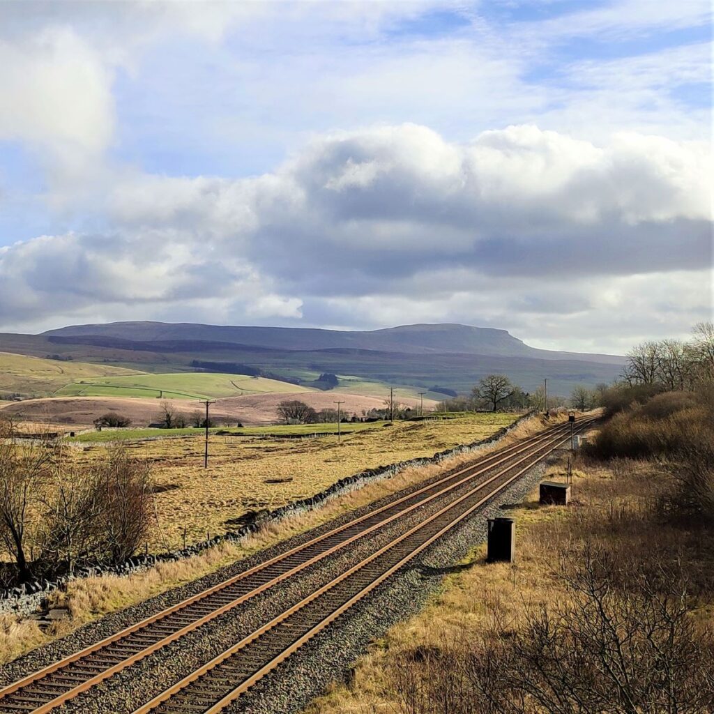
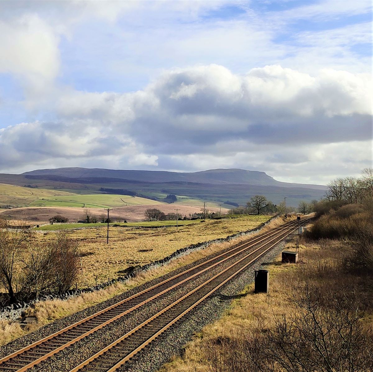
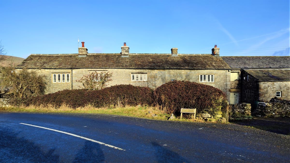
We pass Top Farm and head toward the village centre where we turn left and head under the railway – this is of course the Settle to Carlisle Line.
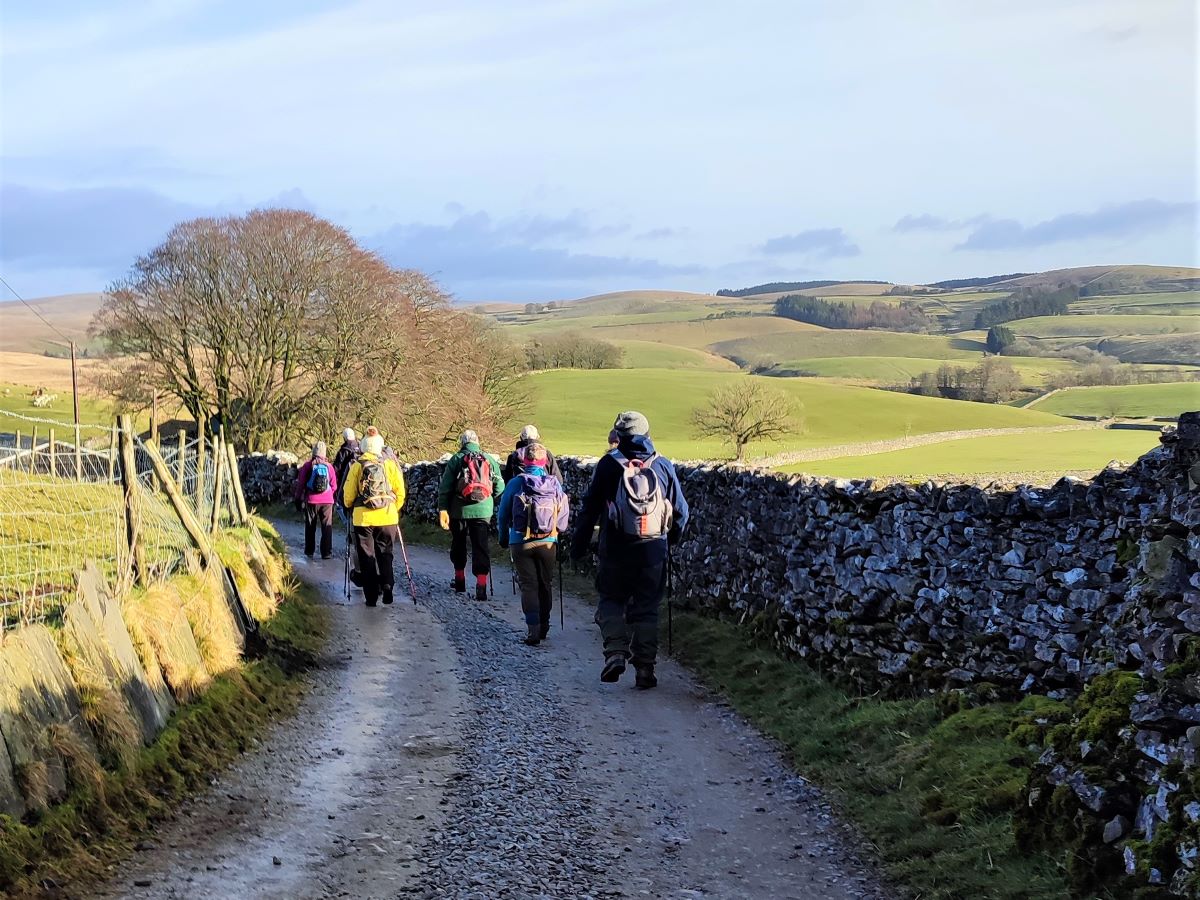
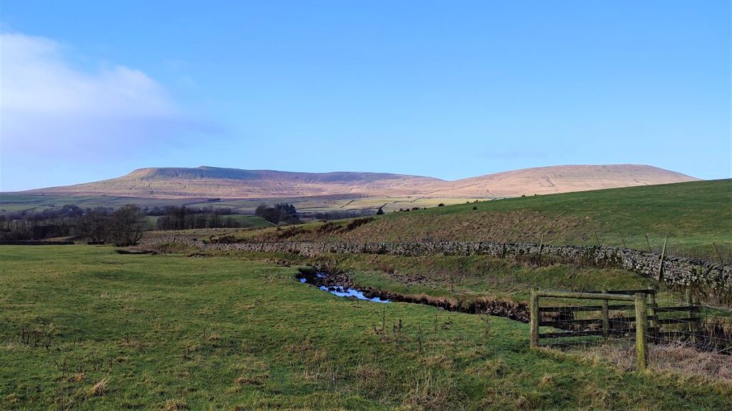
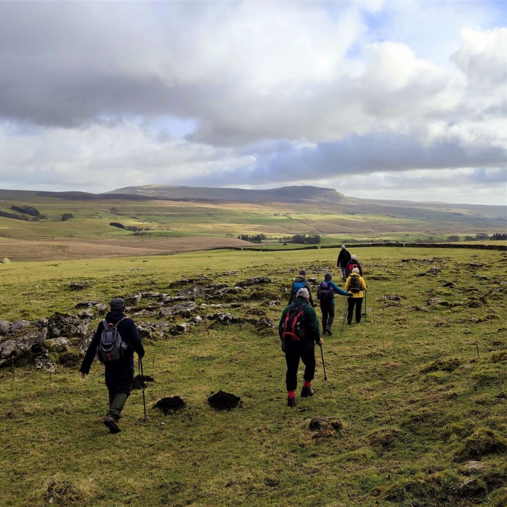
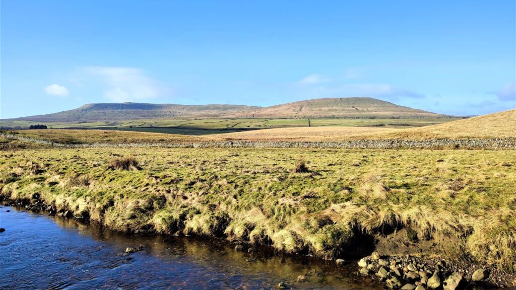
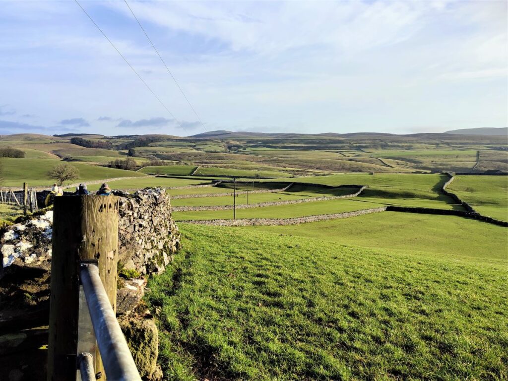
We are now on a farm track which we follow through the farm buildings and then downhill toward the Ribble which runs in the bottom of the valley. If the weather is favourable, there are good views over to Pen-y-Ghent from here.
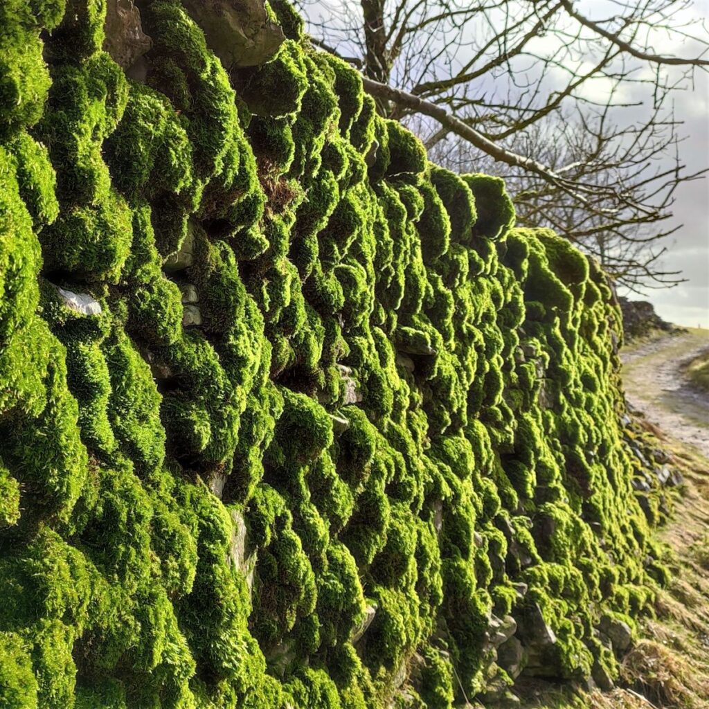
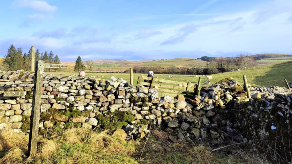
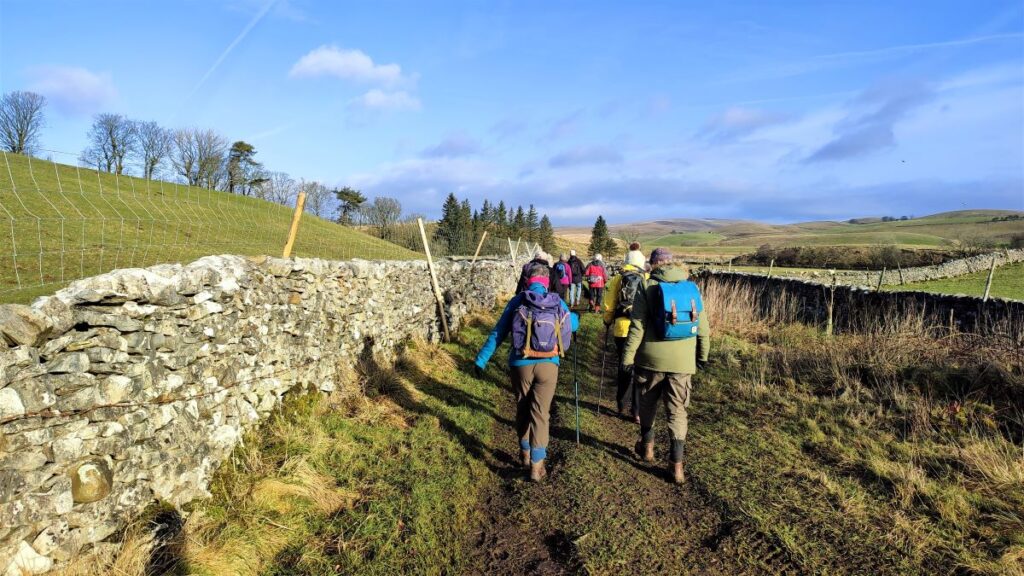
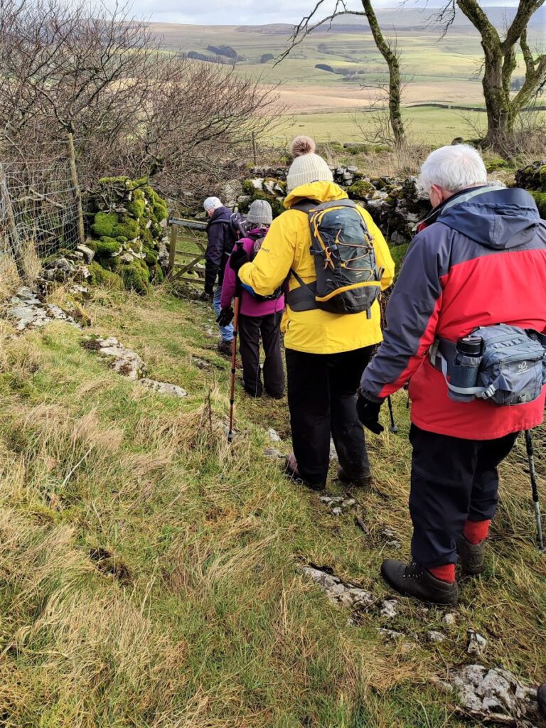
Before long we arrive at a fork in the track. The less well used option on the right is not a public right of way, so we head left to a stile with a way marker where we leave the wide track and enter fields, turning right to track along the inside of the drystone wall.
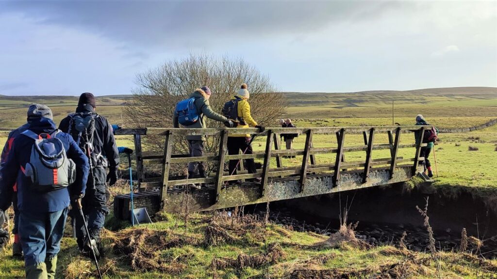
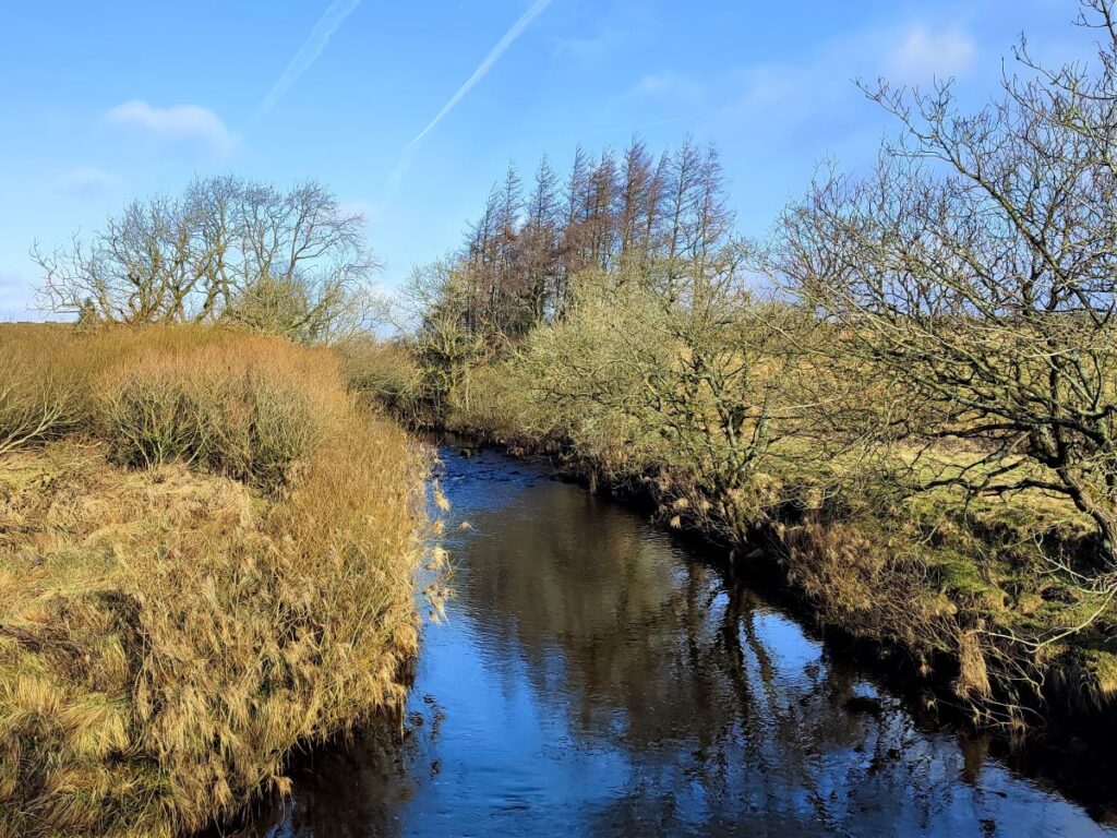
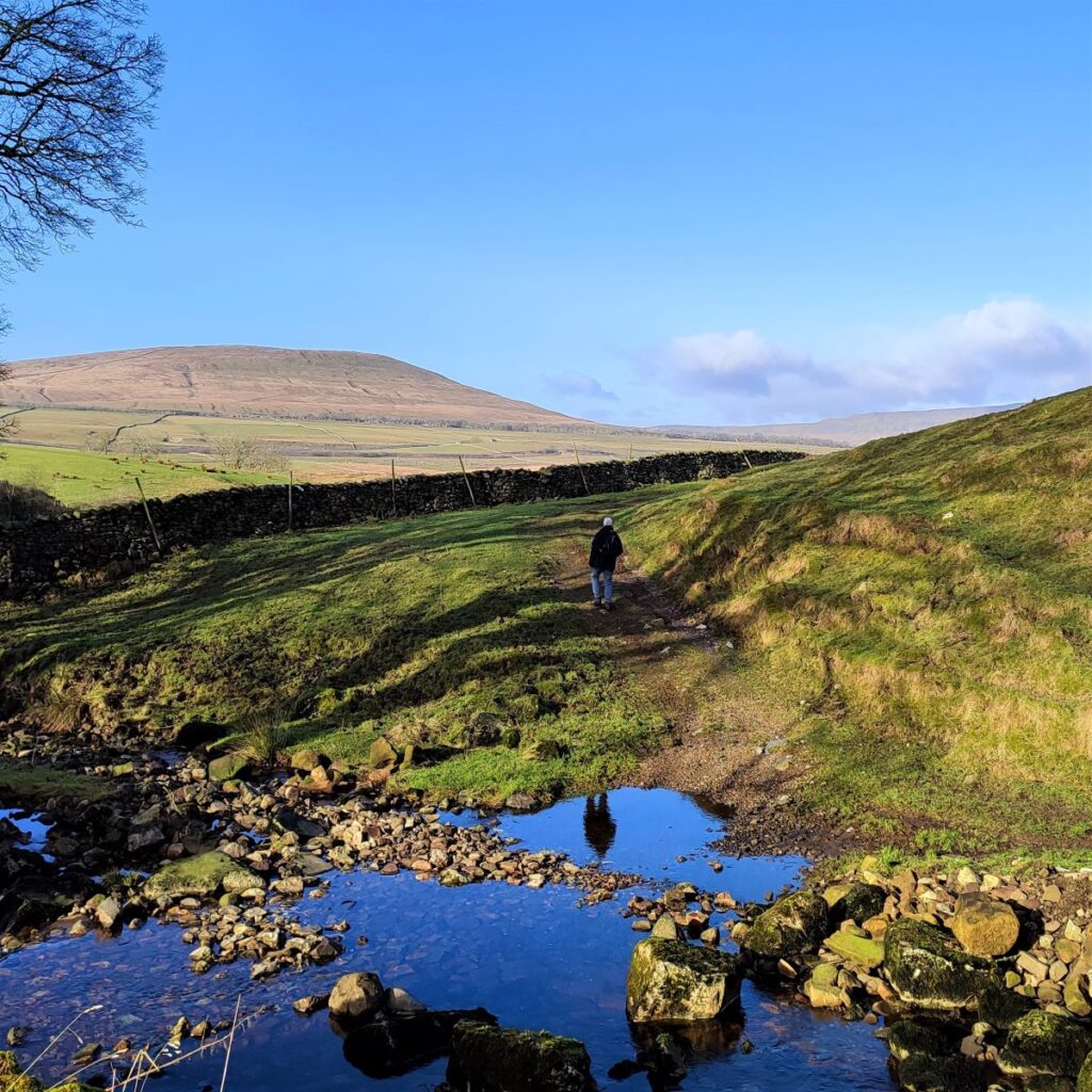
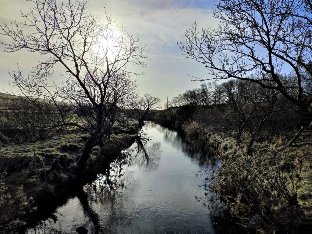
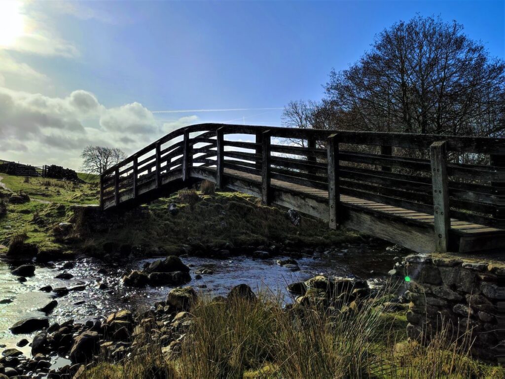
The path now heads East through the field toward a footbridge over the Ribble – the bridge is not visible at first, but as long as you skirt along the right hand edge of the field, without climbing the hillock on the right, it will soon become clear.
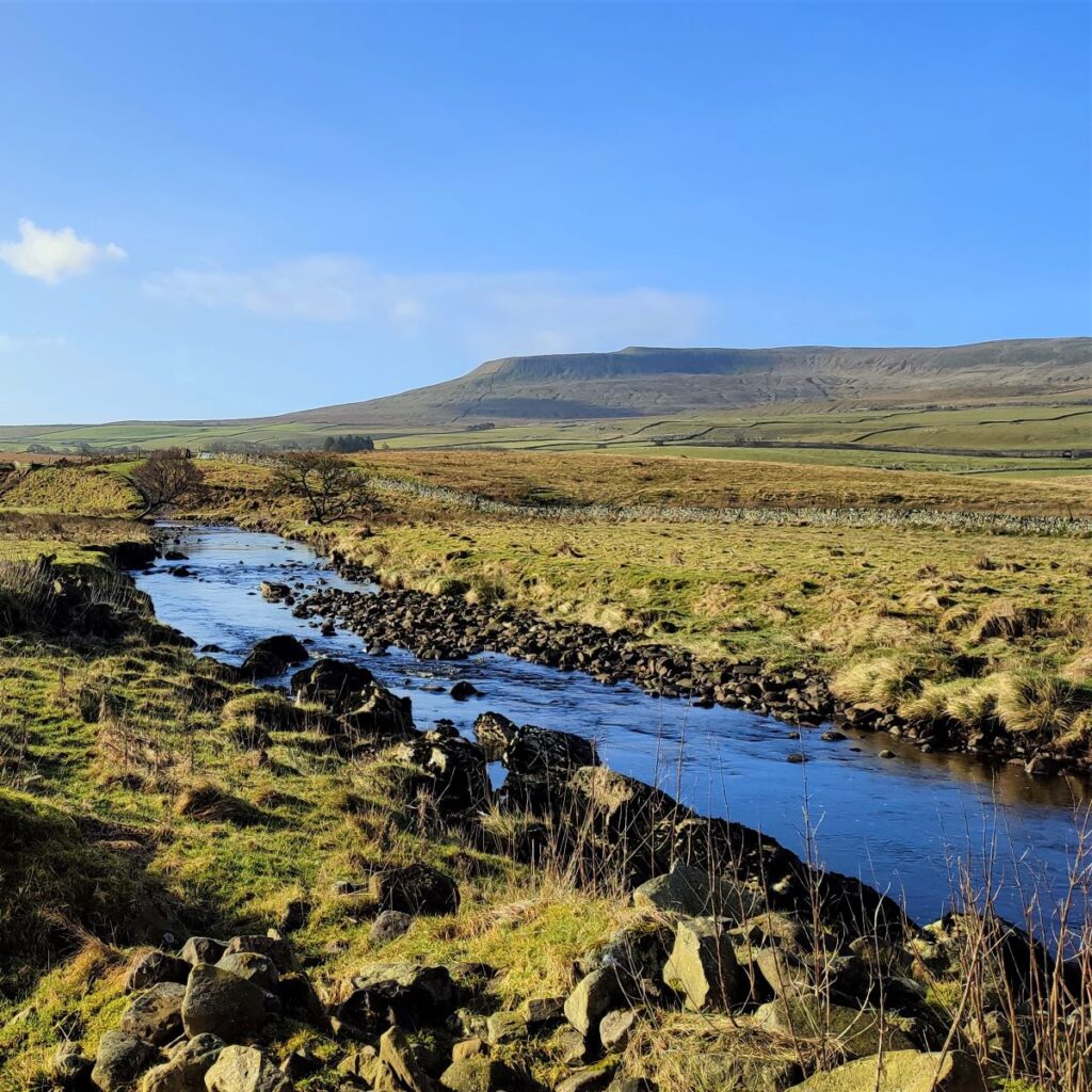
The Ribble is relatively close to its source here, so in dry weather there may be very little to see, but when heavy rain does arrive, this river rises quickly, by several metres and the banks are regularly flooded in winter. This means that the wooden surfaces of the bridge can be wet and slippery so take care.
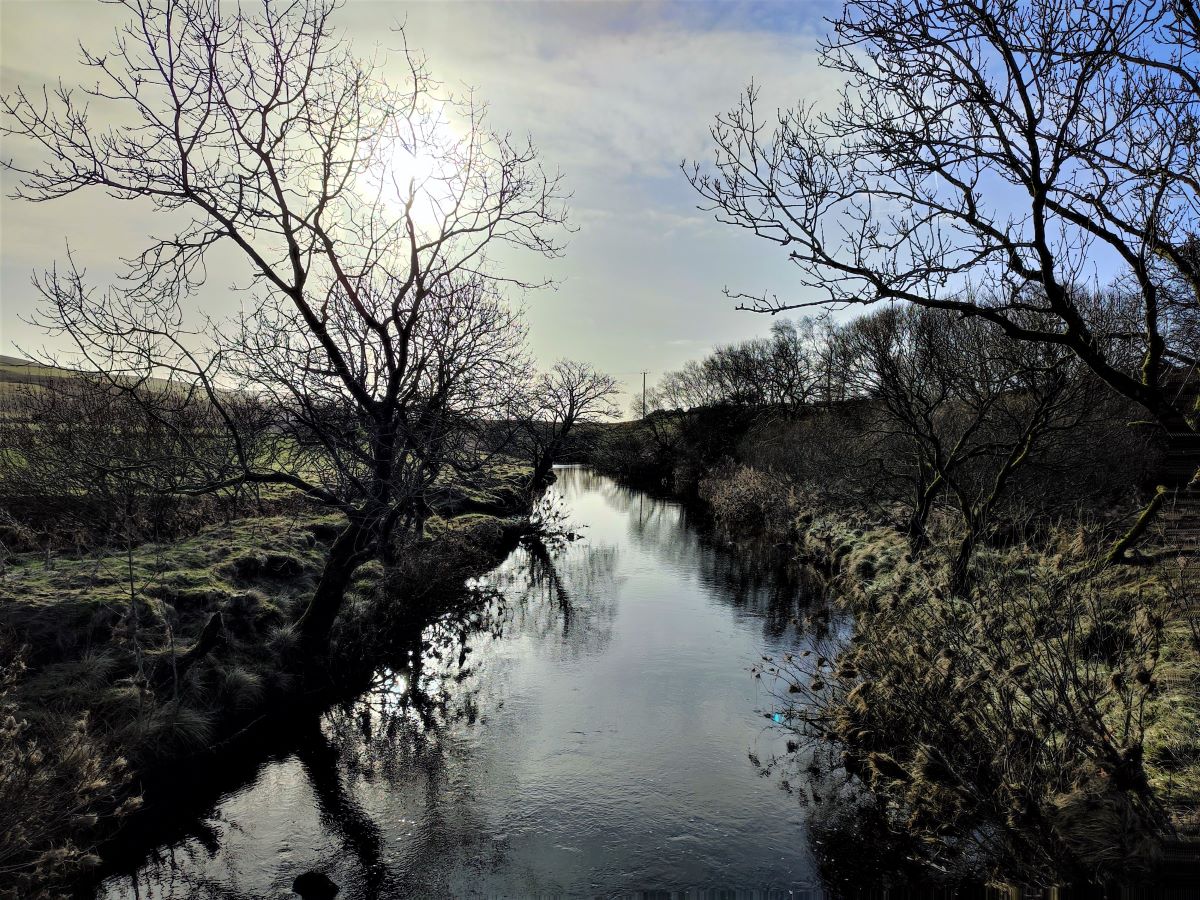
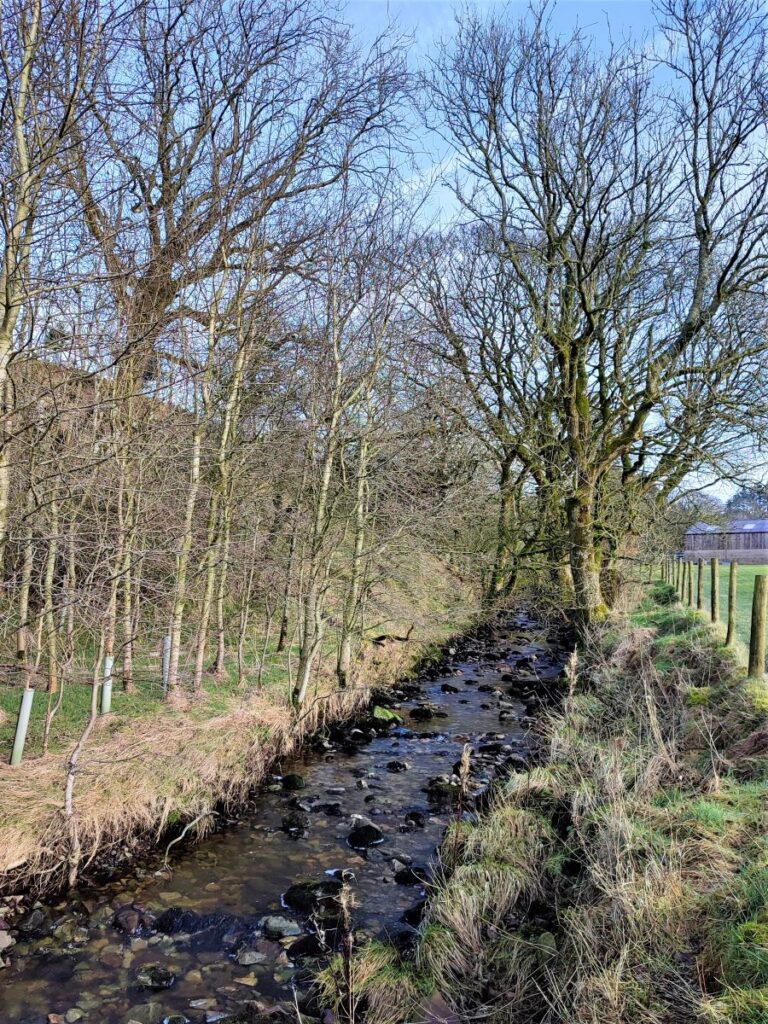
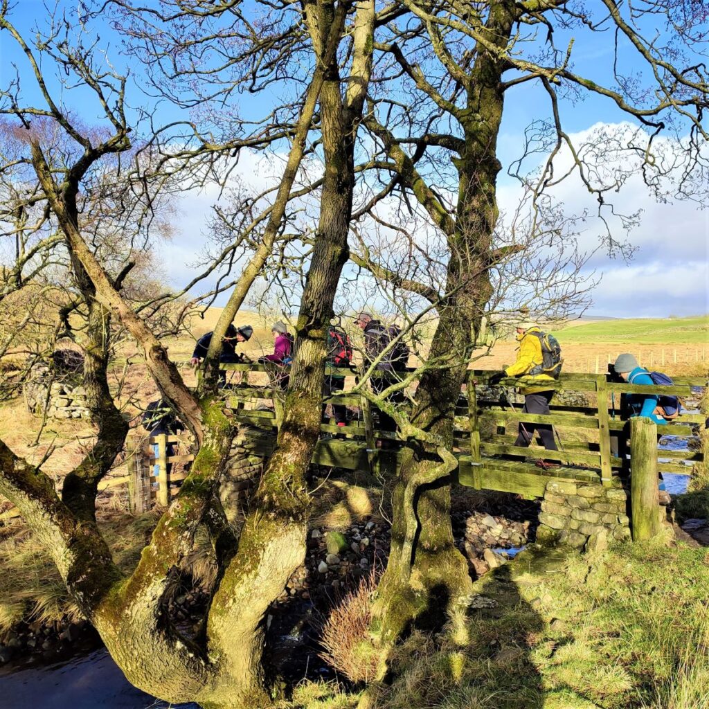
Ahead of us we see a second footbridge – this crosses the Coppy Gill, a tributary of the Ribble, and after crossing the gill we head slightly left to follow the gill upstream toward the farm buildings at Low Birkwith.
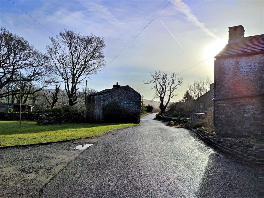
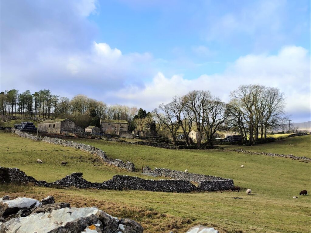
At the farm, we head to the left of the large modern barns, glancing left as we do so to see the railway cottages at Ribblehead in the far distance; although they look impossibly distant from here, we will be passing them in just a short while.
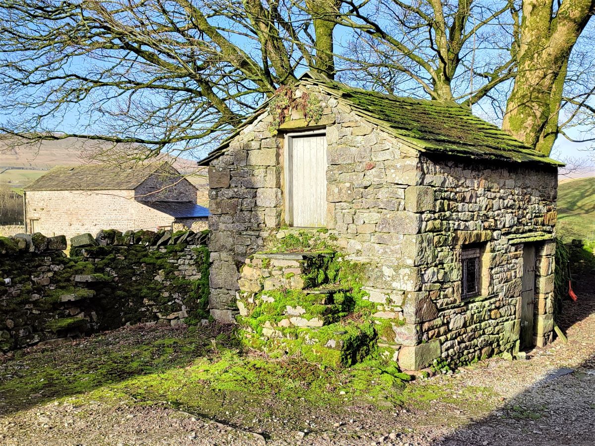
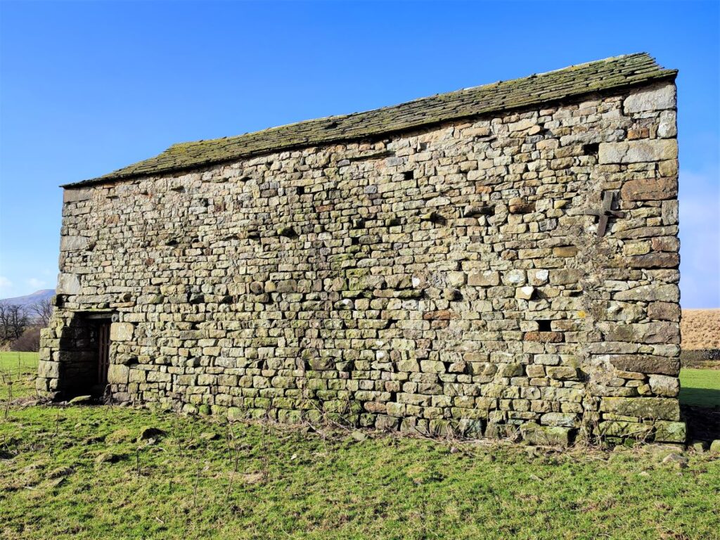
At the farm, we arrive at a cobbled area in front of the farmhouse. Here we see a very attractive small two storey farm building – perfect for a Yorkshire Dales calendar, or an episode of All Creatures Great and Small.
Opposite this building is a stile. This takes us onto a flat piece of land with a further footbridge, back over the Coppy Gill.
It is worth noting at this point that although our path goes left and back over the gill, there is another path running straight on up the right hand side of the Gill – this features in other Bentham Footpath Group Walks, so it may look familiar.
Also of note is the stand of trees on the far bank of the Coppy Gill. This is an active heronry, so scheduling this walk for the spring months may enable a glimpse of the surprising sight of seeing herons landing (in numbers) in the trees. The sight of a grey heron standing in solitary hunting pose on local rivers is quite familiar, but for around three months of the year from late February herons come together to breed. A heronry is somewhere herons have nested for many generations and you may see up to 40 nests teetering in the treetops at any one time.
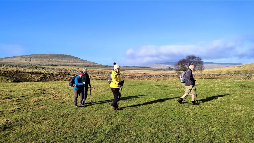
We cross the footbridge and follow the path round to the left where it merges with a farm track which takes us across fairly flat meadows, keeping a drystone wall on our left. At this point we are heading Northwest, and back toward Ribblehead, so Ingleborough now dominates the view.

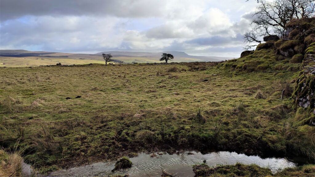
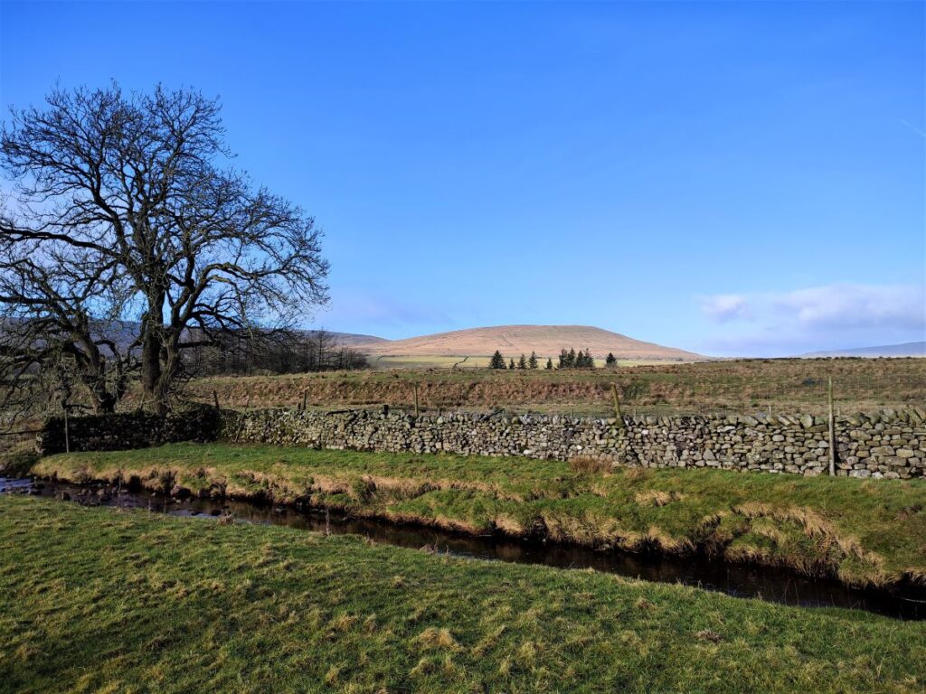
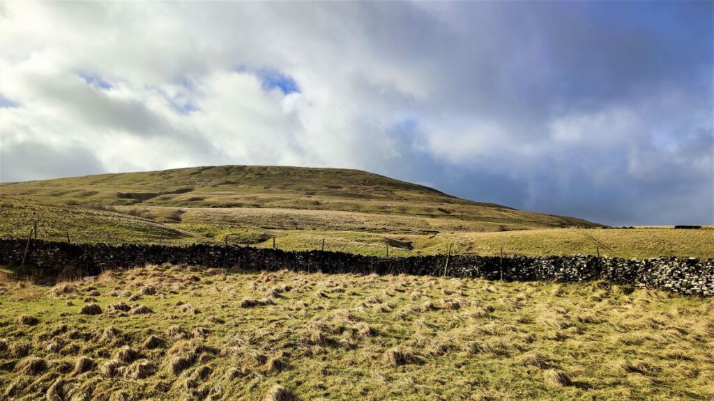
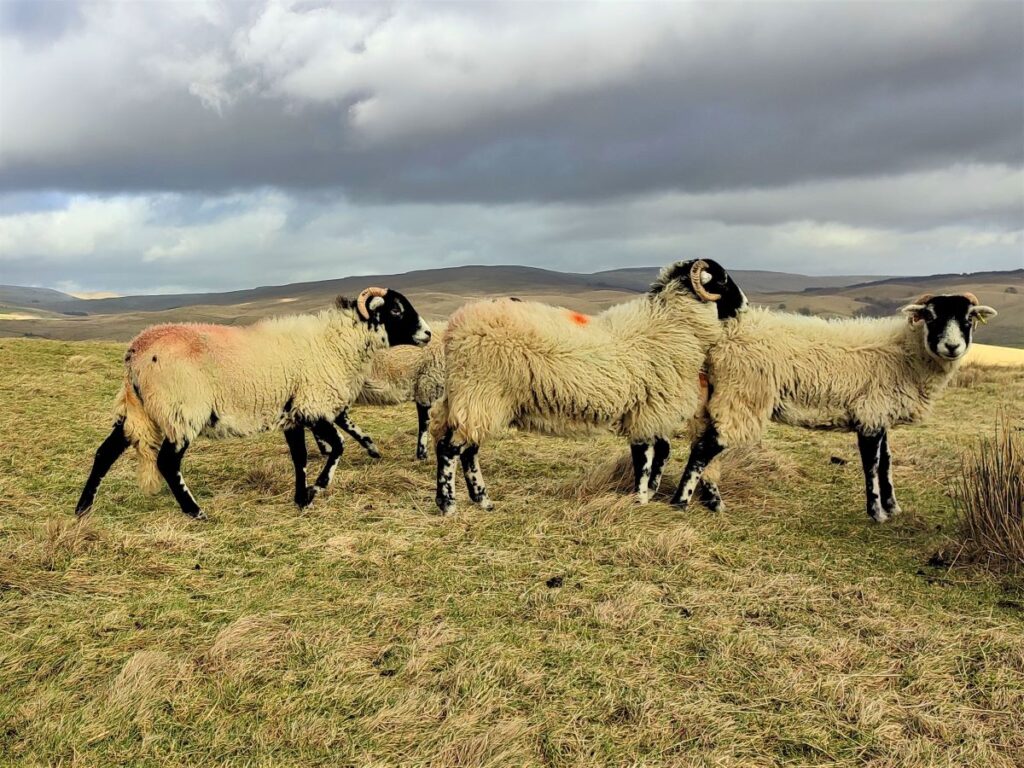
We stay on the track for a while, until we see it approaching a dry stone wall, and here we head to the right to follow the valley bottom North, following the Cam beck (another Ribble tributary) upstream. Opposite us here is a small hill called Holme Hill, and if you are quiet and patient, you are likely to spot Roe Deer feeding here.
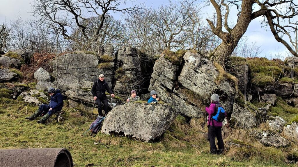
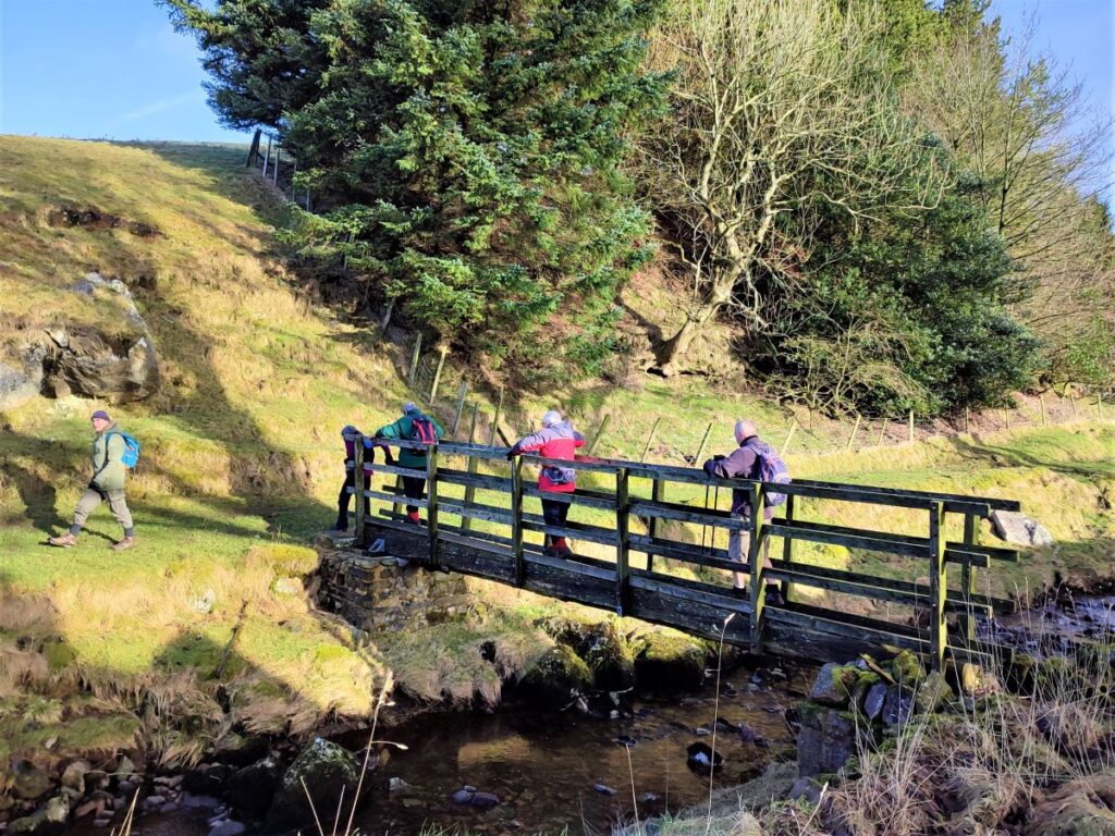
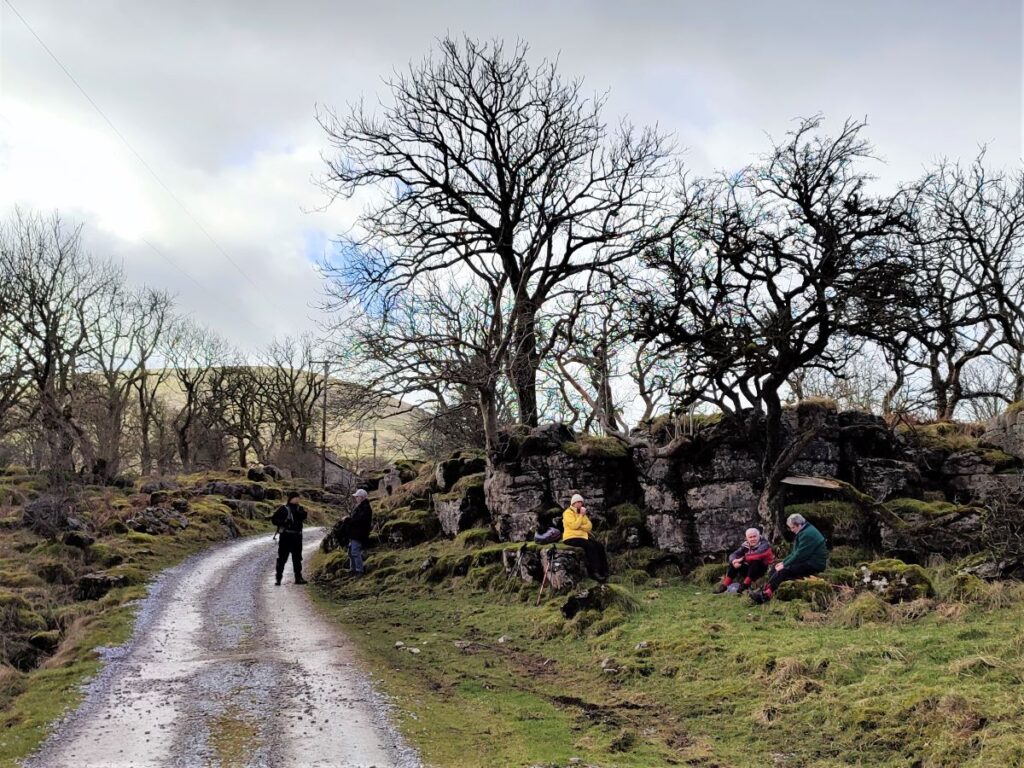
We continue up the right hand side of the Cam Beck, looking for a footbridge which we use to cross the stream. The area just before the bridge is flat and dry, with lots of convenient places to sit, so this may be a good place to take a break.
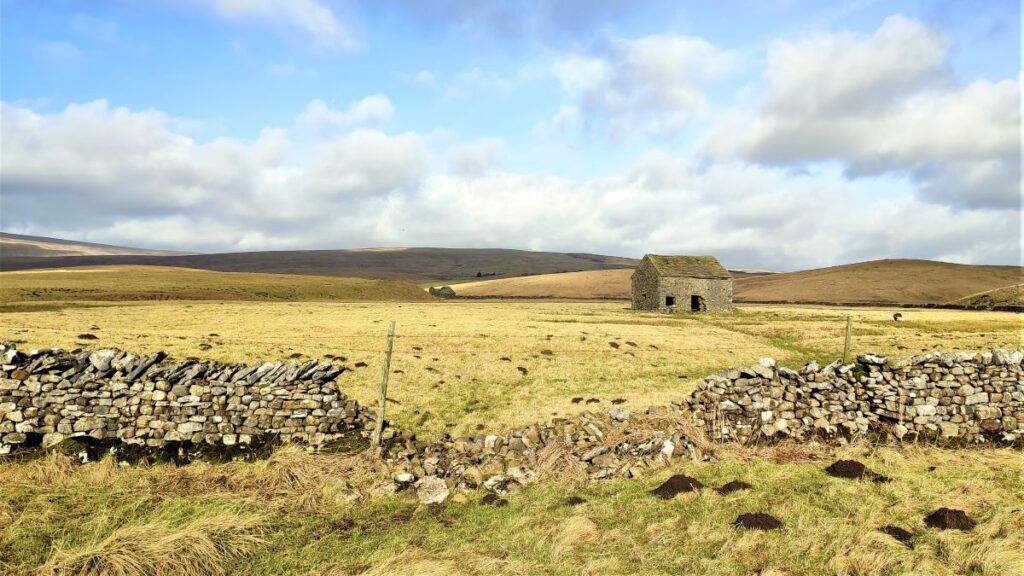
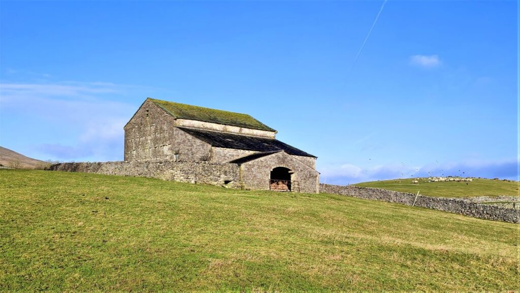
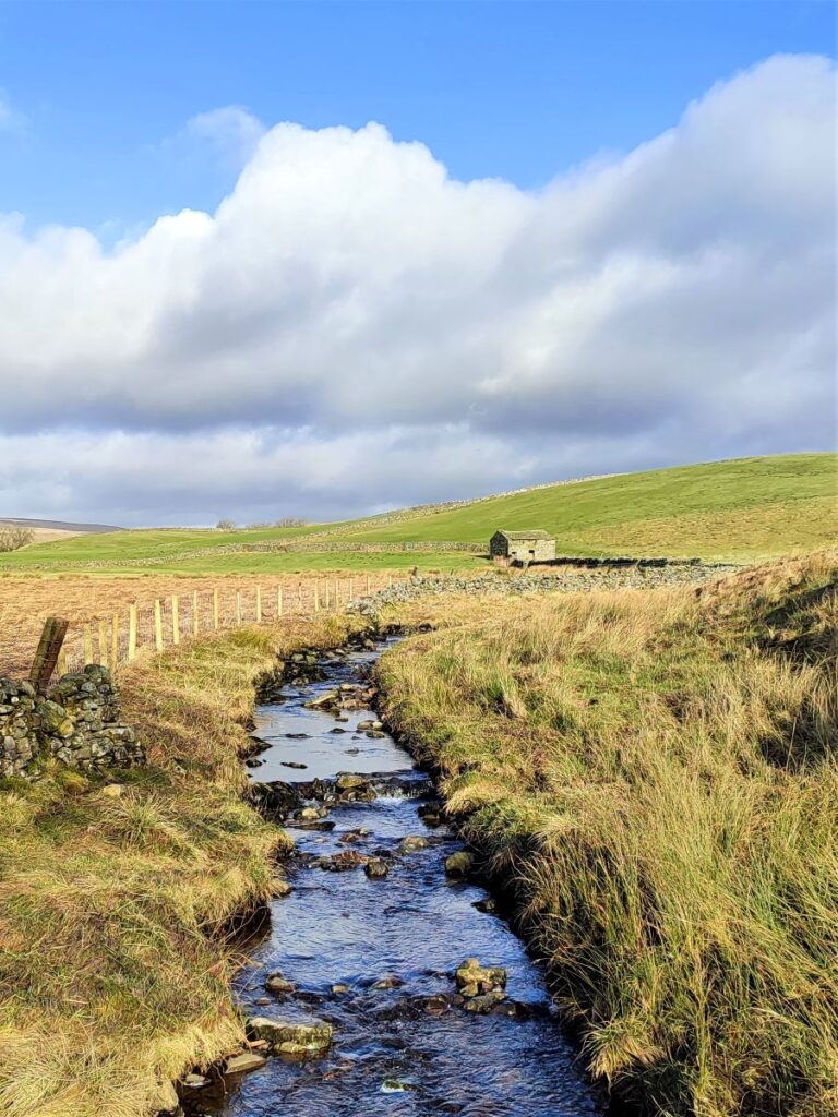
We cross the beck and continue North on the far side, now heading toward Nether Lodge Farm. The farm is not visible at first but the path is clear, and before long we have Great Barn as a landmark – we head just to the right of it.
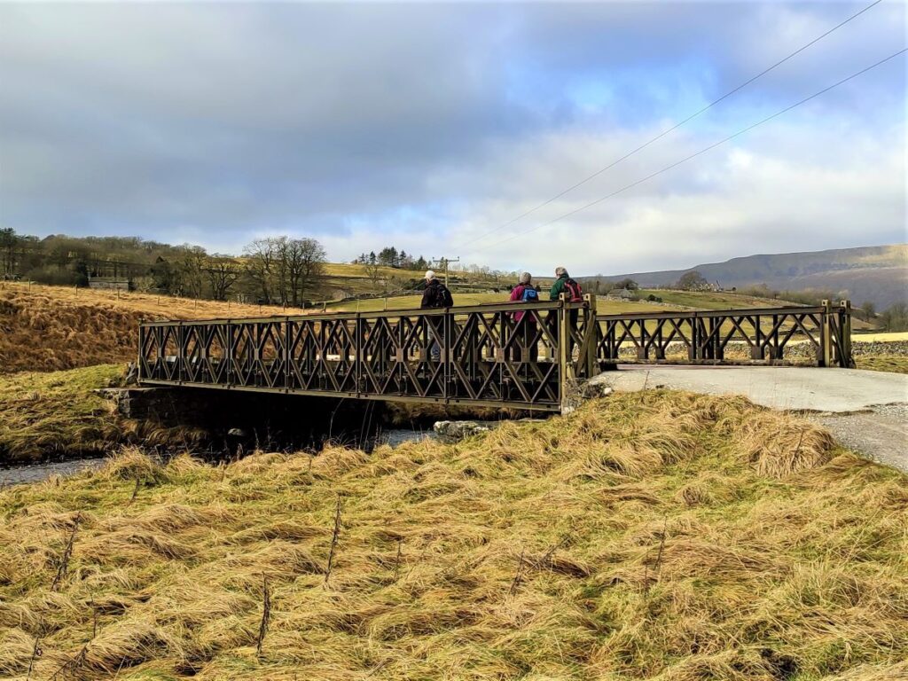
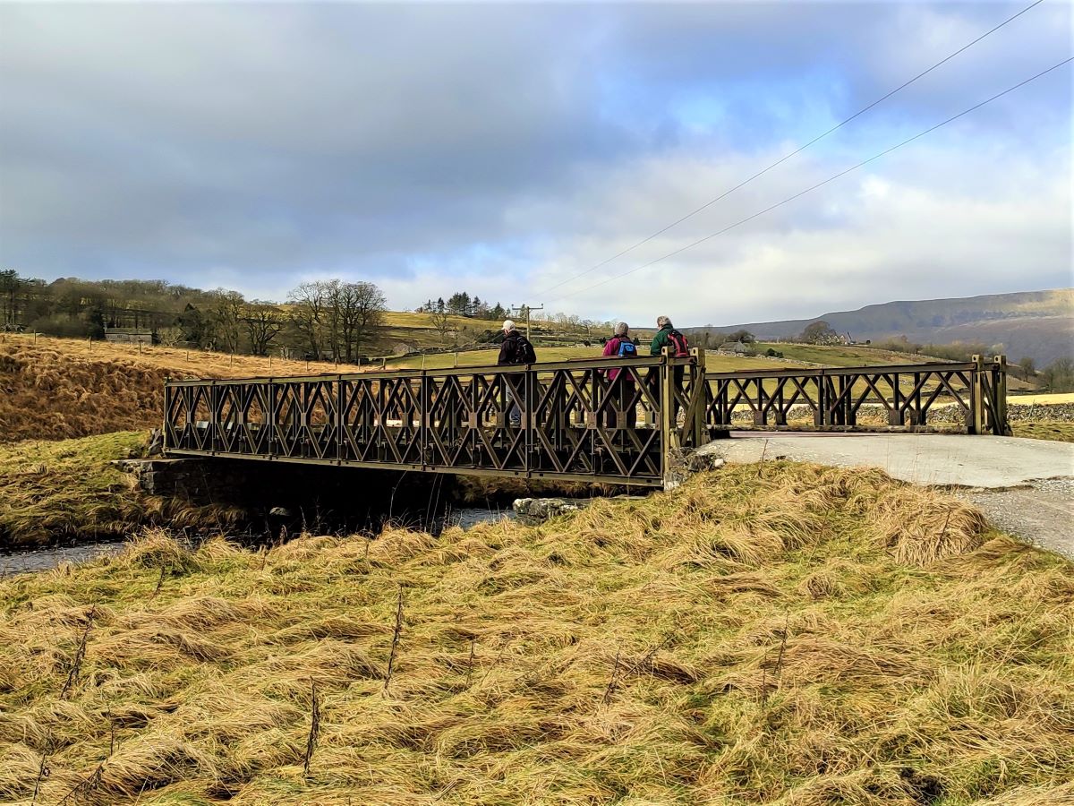
From here, Nether Lodge Farm comes clearly into view, and we head there to pick up the Three Peaks Way. We head left when our path meets the more heavily used three peaks route, and cross the beck at an impressive footbridge. The path then bends left around the farm buildings and heads over toward Ingleborough and another bridge over the Ribble.
Rather surprisingly, this bridge appears to be a Bailey Bridge – a military sectional bridge designed to be easily transported and rapidly assembled or disassembled. A date stencilled on one section indicates it was made in 1976 – although that does not mean that installation here was in 1976.
The excellent Yorkshire Film Archive shows soldiers being trained to deploy Bailey Bridges in the Ribble Valley during World War II, to see it click here
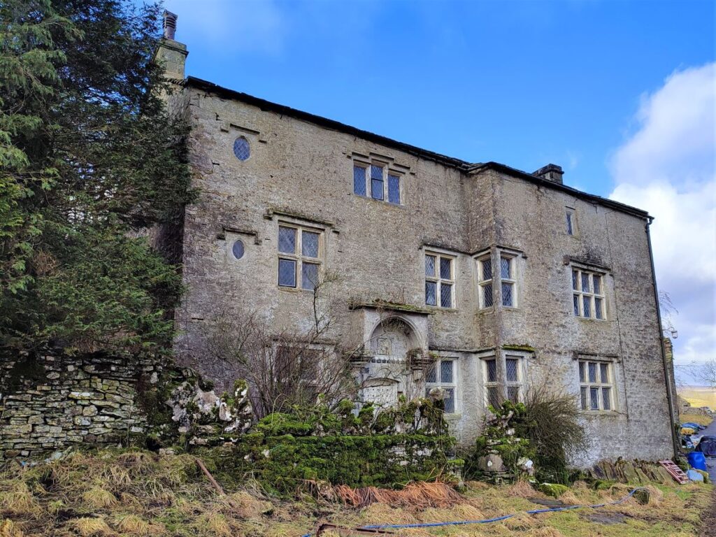
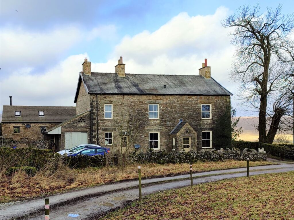
Beyond the Bailey bridge the track climbs gently toward Lodge Hall, and the rather fine though seemingly unloved Seventeenth Century Farmhouse. Note that the track veers left and then right as it approaches so don’t be too concerned if it feels like you are heading in the wrong direction.

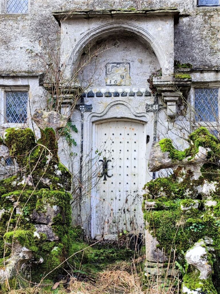
This Farmhouse, dated 1687, is listed on the Heritage At Risk Register (HAR) which describes structural cracks to main (east) front and bulge on north side. It also lists roof leaks, with attendant decay. The building is an integral part of a working farm, and HAR notes that there is at present no agreement on a plan to save / preserve the building.
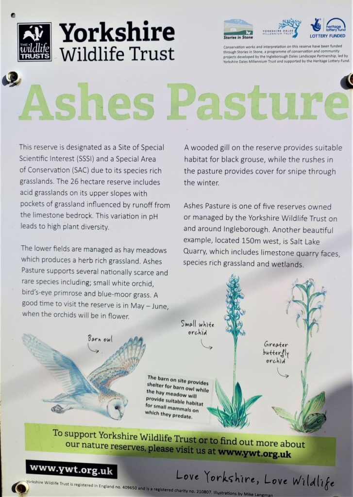
We follow the lane – called Ingman Lodge Road – up to the B6479, and as we arrive at the main road, we note that there is an access gate to a nature reserve on the right.
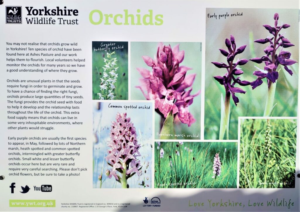
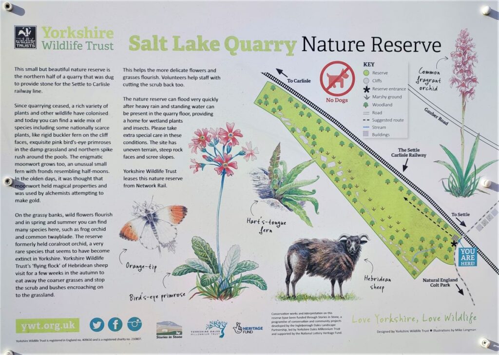
This is Ashes Pasture, a 26 Hectare site of Special Scientific Interest (SSSI) managed by Yorkshire Wildlife Trust. Although not part of this walk, this site along with Salt Lake Quarry, another YWT nature reserve we pass in a short while, are well worth coming back to explore another time.
At the main road we turn right and walk along the road for a short while – again, care is needed as quarry traffic uses this road.

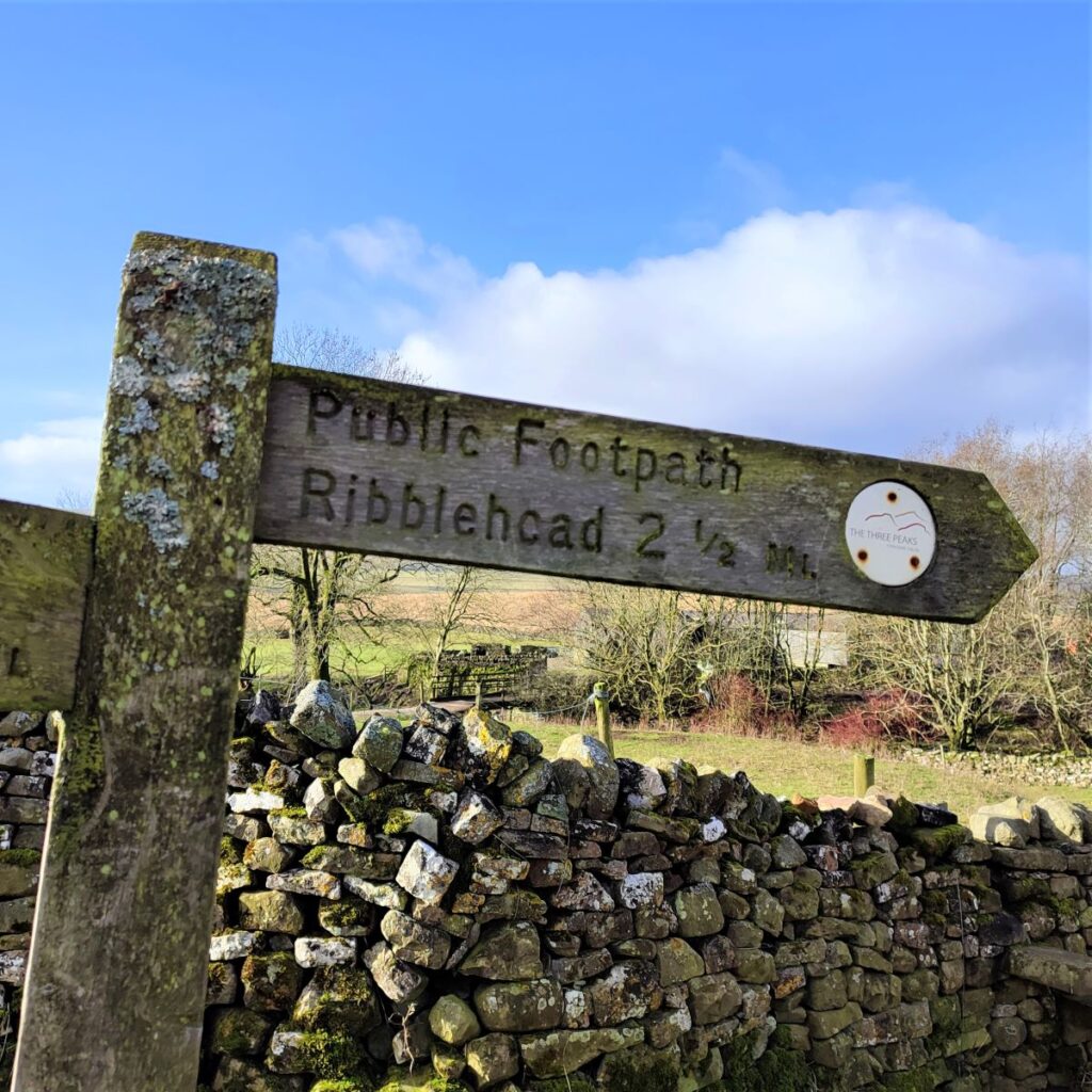
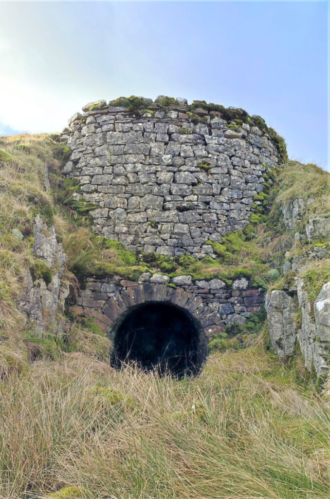
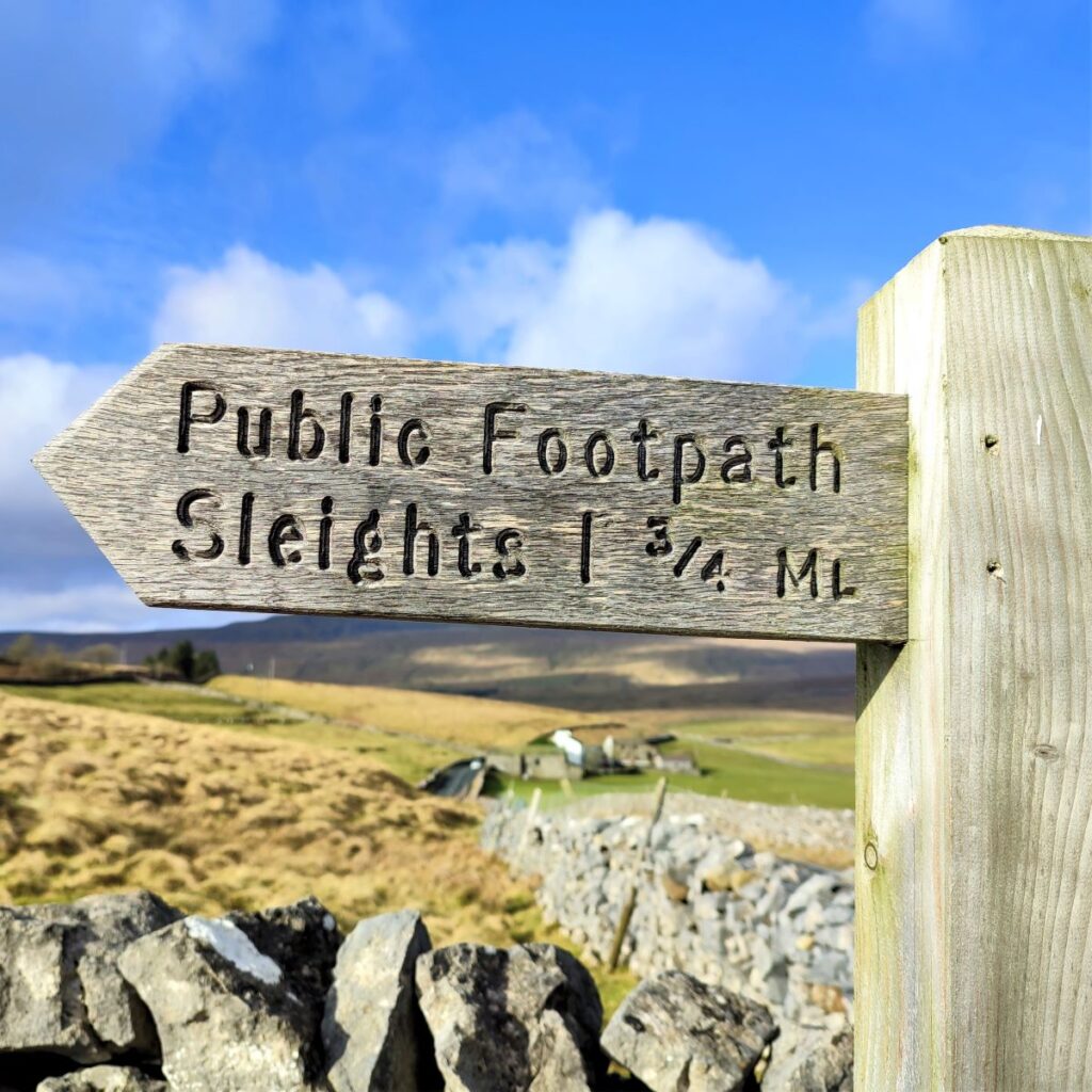
Ahead of us, on the left we now see the railway cottages that we first saw from Low Birkwith, and we head along the B6479 until we see an access road to these cottage and a way marker pointing us to Sleights. We take this road up past the cottages and follow it over the railway line where we find the second nature reserve – Salt Lake Quarry.
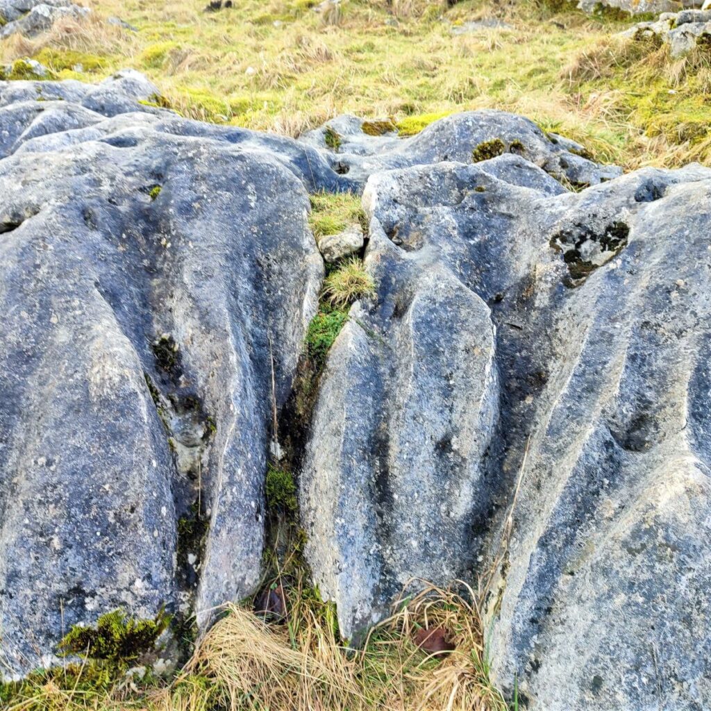
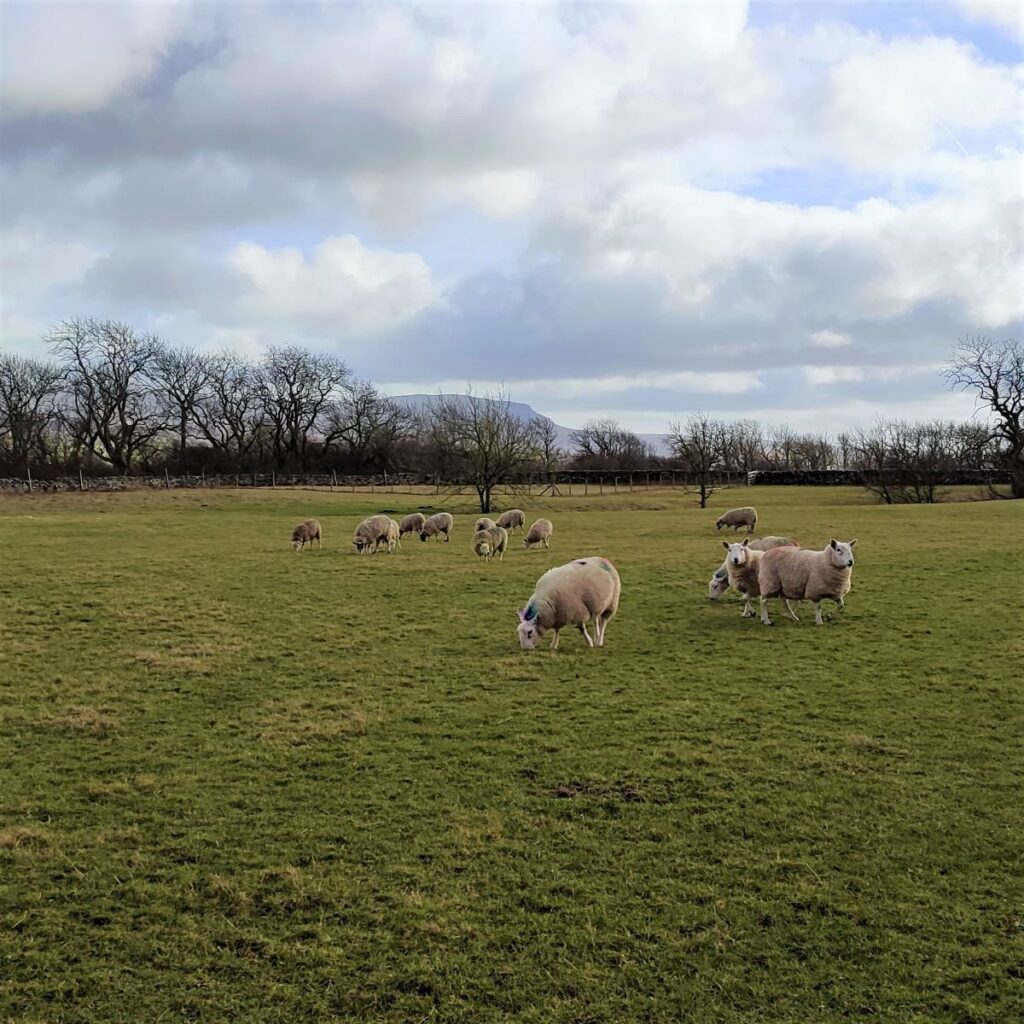
Beyond this, the road contours round as it rises toward Colt Park, the views back to Pen-y-Ghent are worth noting and can be enjoyed from the rocks on the right of the road which provide a good place to stop for another break.
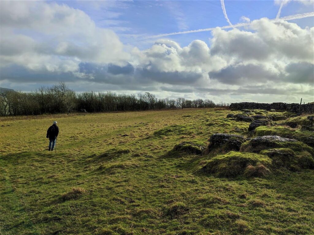
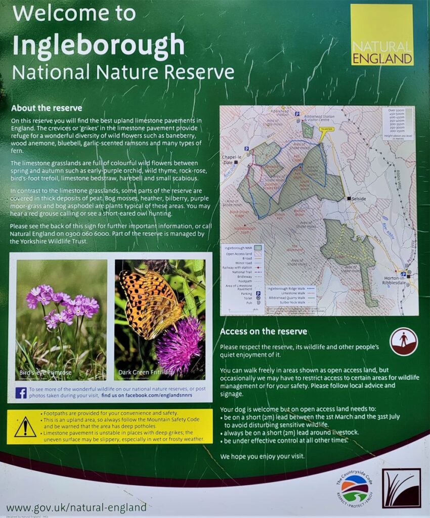
At Colt Park, we take the lane to the left that passes the house and enters the Wild Ingleborough project:
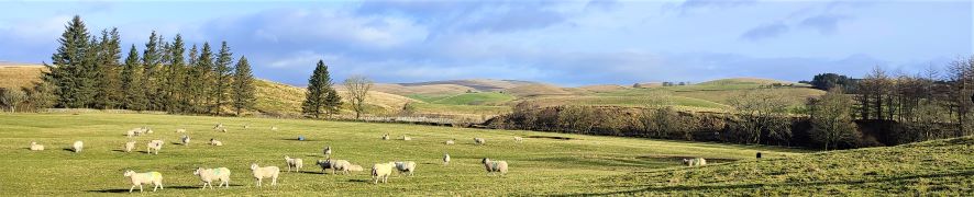
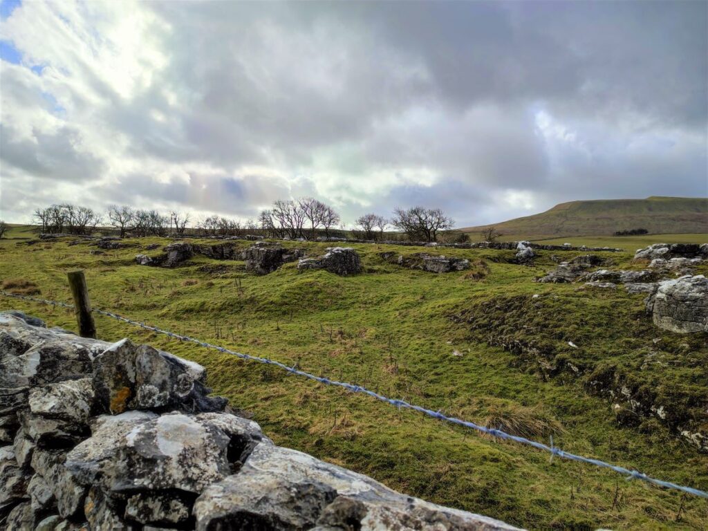
This wildflower meadow here features a number of curious fenced-off areas – these are in fact part of academic research: Colt Park Meadows is a traditional hay meadow and part of the Ingleborough National Nature Reserve (NNR). It is owned and managed by Natural England and is both a Site of Special Scientific Interest (SSSI) and a Special Area of Conservation (SAC).
The meadows at Colt Park have been farmed for centuries resulting in a mosaic of varying habitats, which allow long term experiments to monitor how habitats affect biodiversity. In 1989 Roger Smith of Newcastle University established the experimental plots to study agriculturally-improved perennial ryegrass-crested dog’s tail and the long-term restoration of grassland diversity. The site has since been re-purposed to investigate the impacts on ecosystem services, such as carbon storage and resilience to climate extremes, by specific land management practices such as grazing by sheep / cattle, hay cutting, seed addition and fertilizer addition.
The work is now overseen by staff in the Soil and Ecosystem Ecology Laboratory at The University of Manchester. More detail of what works are under way can be found here
We now head South until we arrive at the end of the fourth meadow, and we need to locate the gate which takes us down the scar and toward the road – there is a gate ahead on a path that continues through the meadows – don’t be tempted by this – the right route is downhill at the bottom corner of the field.
At the bottom of the scar we head right and in a South Easterly direction, diagonally across the field – the path is clear, and brings us back down to the B6479 just above Selside. We follow the road to the right for a short while, which brings us to the lane where we parked.
- Total distance 9.5 km (5.9 miles)
- Total ascent 181 m
- Easy walk