Jump to . . .Step by Step | OS Map | Downloads | Gallery | Fly through
Sedbergh is a great place to use as a base for a walk – and it is location that Bentham Footpath Group have used a number of times. The usual choice is between quite steep walks on the Howgill Fells, or gentle riverside strolls. This excellent walk offers both on a route that delivers great views, trig points to tick off your list, a toposcope, disused railway lines, grand buildings, weirs, impressive Victorian bridges, a monument of disputed function, a lost mansion, and a stroll through the town centre, with opportunities for ice cream.
Add in the sunshine at the end of August when the first hints of autumn colours are starting to show, and this could well be a perfect walk.
- Total distance 12.4 km (7.7 miles)
- Total ascent 438 m
- Moderate walk
Step-by-Step
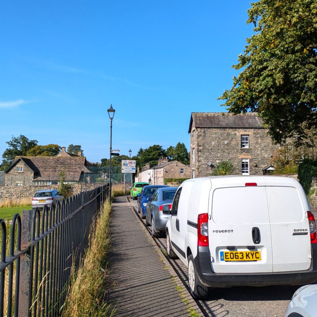
We start in the centre of Sedbergh. There are a number of places for parking, including the well signed posted (and chargeable) car park on Main Street, but we opted for on-road parking in front of the school playing fields on the A684.
If you are using Satnav to get to this location, try Back Lane, Sedbergh, LA10 5BX as an address, or if your device accepts what-3-words tags use unity.carriage.icon, which corresponds to the OS grid reference SD65869207.
Click here for a Wikipedia article about Sedbergh, and here for the visit Sedbergh website.
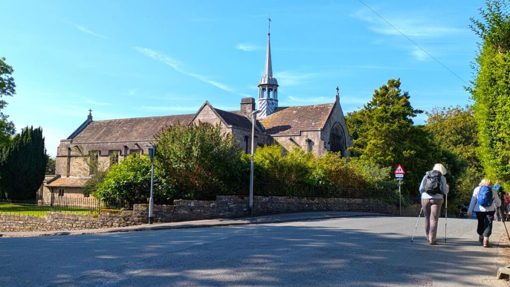
Our first port of call is the facilities at the Main Street car park, so if you park there you should be able to pick up our GPX trail quite easily. We then head back down Main Street on the A684 passing the Thirsty Rambler, described on the Visit Sedbergh website as the town’s “newest drinking den”, and St Andrew’s church, which they describe as “Sedbergh’s oldest building by far”. We take pride in offering variety in our walks.
Right next to the Thirsty Rambler is Howgill Lane – which does exactly as it says on the tin – takes us to the Howgills, passing a row of charming three storey villas with something of a seaside feel to them, curving left along the side of the People’s Hall and a playground before rising behind the housing to the west of the town – we are starting to climb now, and have a good view of Winder over to our right.
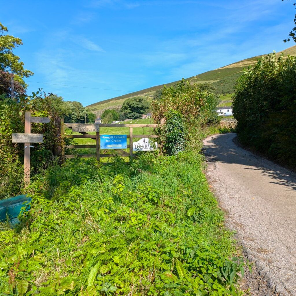
As we walk further up Howgill Lane, we see a track on the right heading up to Lockbank Farm. Also worth noting here is the sign for Howgill Fellside Ice-cream – well worth a visit: Lockbank is a family farm with a herd of Fresian and Jersey cows who graze the fields below the fell. The farm is owned by the Sedgwick family and the current generation, Roger and Suzan have invested in the latest Italian technology to create handmade dairy ice cream of the highest standard. What we really like is that they don’t skimp on flavour.
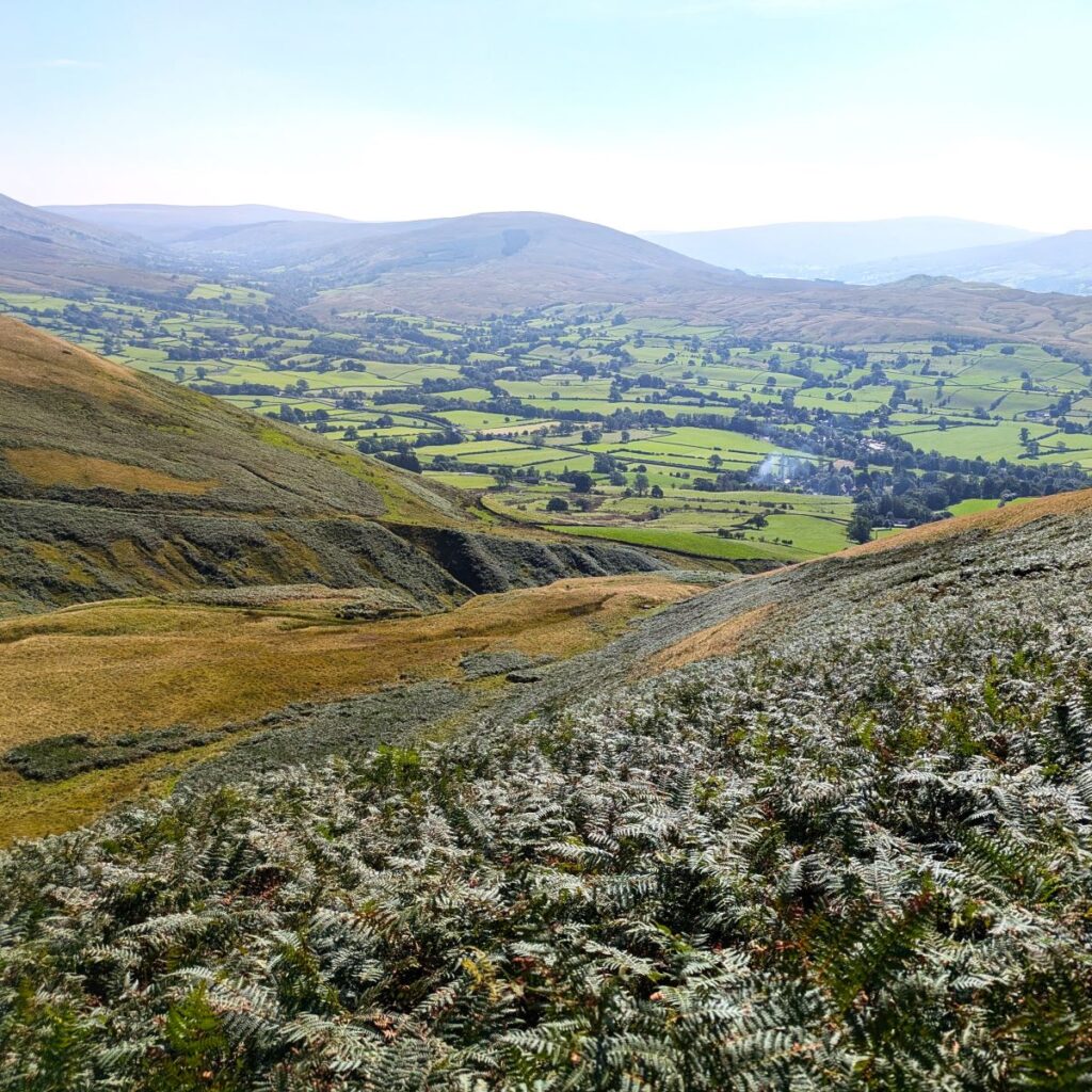
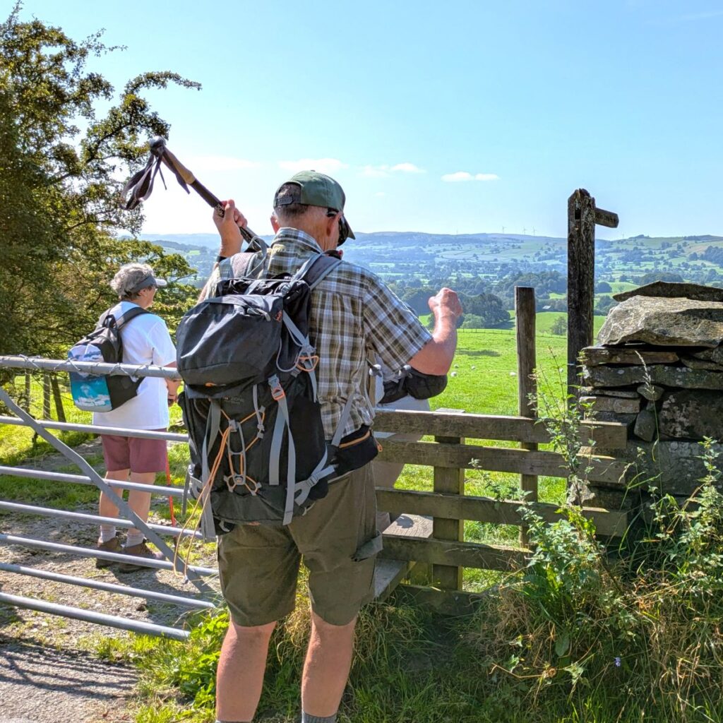
We follow the track up to the farm, and then follow the signage through the gates onto the fell, turning sharp left to head along the drystone wall for about 200m at which point the track forks. One route goes straight on heading up to Nursery Wood – close to where we will descend from Winder later in the day – so if you wanted a gentler and shorter version of today’s walks, that’s an option. However, we take the fork to the right which doubles back and then starts the relentless climb up Winder. The route is clear, but almost all the climbing in today’s walk is in the next 2km so use the excuse of stopping to admire the excellent views over the valley to Holme Fell and Frostrow Fells as often as is needed.
The path starts to bend round to the left as we head up the side of the valley carved by Settlebeck Gill – and as we walk up here you may well notice a path at a lower level – this is part of the Dales High Way a 90 mile route from Saltaire to Appleby that we have encountered many times on BFG walks.
No more than 600m after starting the section up the Settlebeck Gill, and just as we have the 605m peak of Arant Haw in view, with the Calf at 676m just beyond, we look for a clear path on the left heading up to the Trig point at Winder. This is at an elevation of “just” 473m, but still offers some great views. To our right (i.e. north) we have the valley created by Crosdale Beck, and beyond that the Nab with the unique velvety appearance that so characterises the Howgills. Directly ahead is the Lune Valley where we can pick out the route of the disused railway line to the Lowgill viaduct, another BFG favourite. Beyond that we see the relentless flow of traffic on the M6 and Grayrigg in the distance.
From the trig point, we take a moment to check the views indicated on the toposcope and then continue west heading along a well-trodden path which eventually comes back down to the drystone wall we started to follow at Lockbank Farm – you will notice from the trace on the website that we took the direct route using a marked track rather than the oddly kinked footpath marked on the OS map – we are now just 100m northwest of Nursery wood, for those contemplating the shortcut.
We look for the gate in the wall which leads us onto a track down to Howgill Lane – we are now just 1 km up the lane from Lockbank Farm.
We turn left on Howgill Lane and head back toward Sedbergh, walking on the road for the next 400m until having passed Nursery Wood (on our left) we see a sign for a path on the right which takes us through fields to Underwinder where we have a choice of paths. We could go right and up to the oddly named Height of Winder, but for this walk we stay left and take the lane down to an old bridge over the disused railway. The Ingleton Branch of the North Western Railway, opened in 1860, and went from Clapham, through Ingleton, Kirkby Lonsdale, Barbon, Middleton-on-Lune, Sedbergh and Lowgill, before joining what is now the West Coast main line, just south of Tebay. It’s a line that we have encountered on a number of our walks.

Passenger services ceased on 30th January 1954, and the line finally closed in 1967. The principal reason that we keep encountering it is that it roughly follows the route of the River Lune from Tebay to Kirkby Lonsdale – and these are just the kind of locations we like to walk.
The most impressive features of the line are the railway’s three listed viaducts. These grand structures still dominate their landscapes as we shall see later.
Beyond the bridge we continue on the road for 120m until we arrive at a small junction. We go left, and then almost immediately arrive at the A684, where we again go left to walk at the roadside for about 300m. The road is busy, so care is needed here.
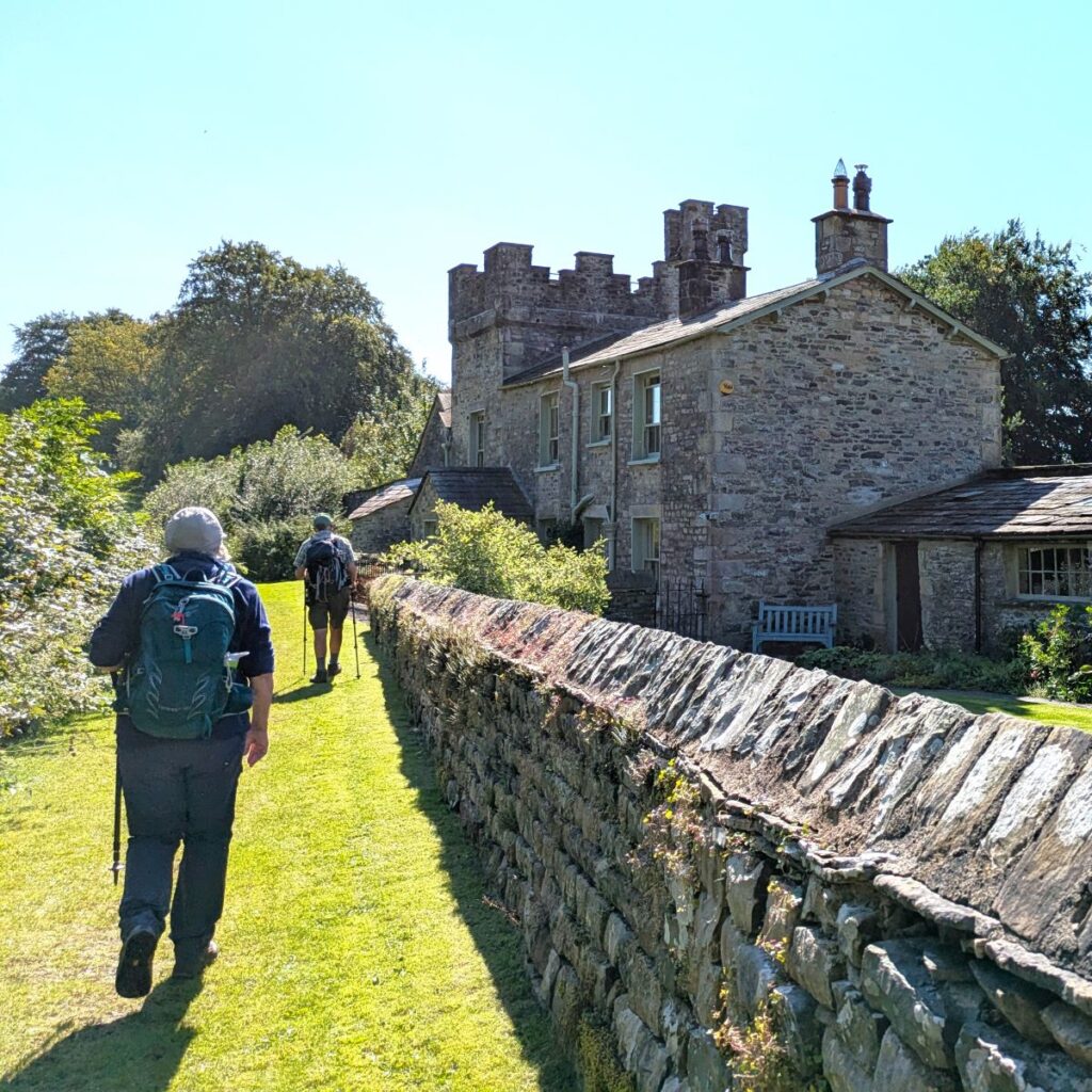
Our next landmark is Ingmire Hall where on the right, we see a sign for a bridle path to the A683. We follow this down the side of Ingmire Hall and then on to an ancient green lane lined with impressive beech trees.
Ingmire Hall is a 16th century house constructed around the remains of a defensive pele tower. It was significantly enlarged in the early 19th century, and then further extended in about 1900. The peak version of the hall did not last long however – it was partially destroyed by fire in the 1920s before being rebuilt and partially remodelled in 1989, to become the building we see today.
The Hall is built on private grounds, and is not open to the public – so don’t be tempted to explore, but there is a public footpath running alongside the driveway, and that’s part of our route.
Once we arrive at the A683, we again need to walk on the side of the main road for a short while. This time we head right and walk carefully for 50m until we see a footpath opposite taking us across fields to the banks of the river Rawthey at Brigflatts. We follow the riverside path back toward Sedbergh, and soon see one of the fabulous viaducts that the Ingleton Branch line is famous for – this one is the Rawthey bridge.
The structure is formed of four segmental cast-iron ribs, with connecting members and arcaded spandrels. Most of the deck is now missing but a walkway has been installed to provide access to a gas pipeline which now runs along the west side of the structure. The substantial abutments are built from local pink sandstone and feature attractive ashlar copings, corbelling and string courses.
Regular traffic over the route ceased in December 1964 but it was retained for diversion purposes until 26th July 1966. The structure was given a Grade II listing in June 1984.
Our path climbs the embankment up to the railbed and then back down again on the far side to continue along the riverbank. 300m later we se the confluence of the river Dee with the Rawthey, and soon after the path curves left to arrive at an old mill now used as a food distribution business. The minor road that serves this business hub now becomes our route, and we follow it up to the lovely hamlet of Birks just 100m further on.
We need to look for the fine gates to Birks house, and then take the rather more modest pedestrian gate to the right to find the footpath round the boundary wall of the house which soon becomes the riverside path again. On our left is a small lake in a nature reserve given the rather odd name of “Bruce Loch” This is in memory of John Bruce Lockhart, headmaster of Sedbergh School, in the early 1900s, and one of a local family that included noted diplomats and spies (allegedly m’lud).
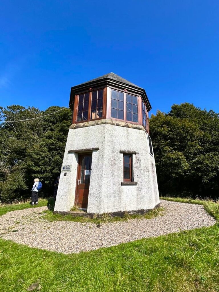
Slightly further round is a small building named, because of its appearance, as the pepper pot. This a well known landmark in the area, and like most such landmarks is surrounded by stories which may or may not be true. It is said that the function of the pepper pot was as a sanitorium, for Anne, the daughter of Charles Edward Taylor, the owner of Akay Hall (more on this in a moment). She suffered from TB, and rather than send her to an isolation hospital, the suggestion is that she was housed in this purpose-built structure with ample light and fresh air to aid recovery.
Anne died of TB three years after diagnosis, and there is no clear evidence that this was indeed the function of the building, or that she was housed there. An alternate explanation notes that it is very similar in style and positioning to other early 20th century buildings used as occasional dining rooms with furniture and food brought down from the grand house by servants – in much the same style as most of us played at taking picnics in the garden when we were kids.
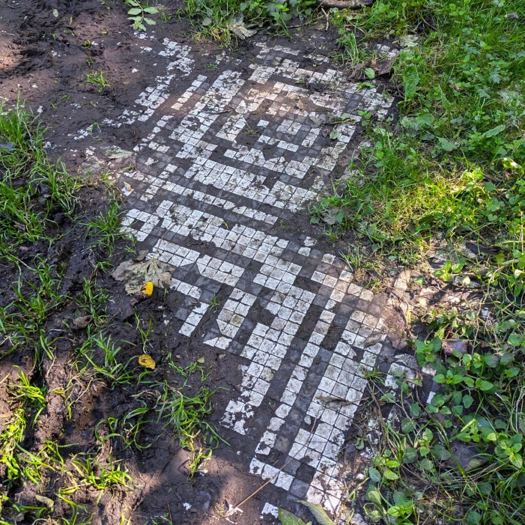
Pressing on for another 60m we come to a track with relatively young woodland to one side, and Akay Woods through a kissing gate on the right. Within these woods was Akay House, also known as Akay Hall, or Akay Lodge, or often just Akay. It was built in the 1820s by a local mill owner and greatly expanded in the 1890s by Taylor only to be demolished and sold, stone by stone, in 1939. The only visible remains are fragments of the tiled floors that emerge from the leaf litter.
Curious as to what the hall looked like? Click here to see an archive picture.
Our path continues through the woodland then crosses a large field before arriving at a road, just to one side of a bridge over the Rawthey. We go left here and follow the road for 500m up to the town centre, passing the rather impressive Sedbergh School Chapel on the left.
