Jump to . . .Step by Step | OS Map | Downloads | Gallery | Fly through
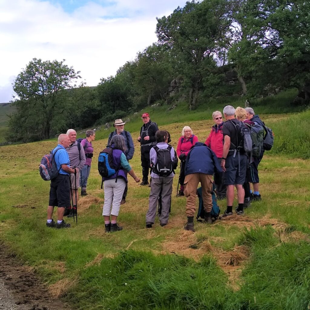
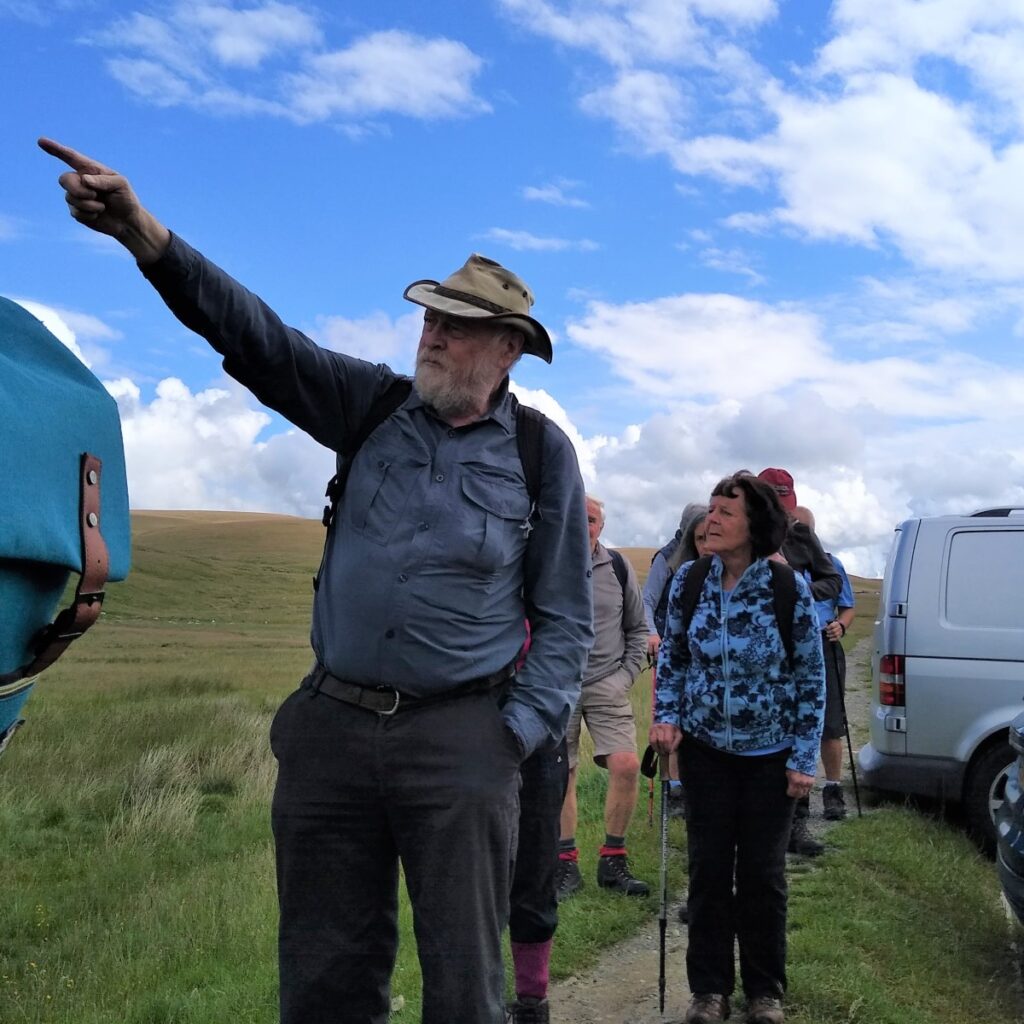
Bentham Footpath Group aims to offer a wide choice of walks, showcasing the wonderful area that we live in. Some of our walks are quite challenging, but this one aims to show that shorter and more accessible routes can still deliver great views and lots of interest.
We start at the Ribblehead Viaduct – perhaps the most photographed structure in the Yorkshire Dales, and then set off as if we were heading up Whernside. Just before the Bleamoor signal box though we divert under the railway to track along the contours of Whernside at low level on flat(ish) ground and solid paths. This gives us great views toward Ingleborough.
When we meet the path coming back down from the top of Whernside, we go left down Philpin Lane to pick up the return path along the valley bottom to Haws Gill Wheel. This is the only part of the walk where we need to tread carefully as wet limestone can be slippery.
We follow Winterscales Beck all the way back to Gunnerfleet Farm and then back under the centre of the viaduct to complete the walk
- Total distance 9.2 km (5.7 miles)
- Total Ascent 208 m
- Easy walk
Step-by-Step
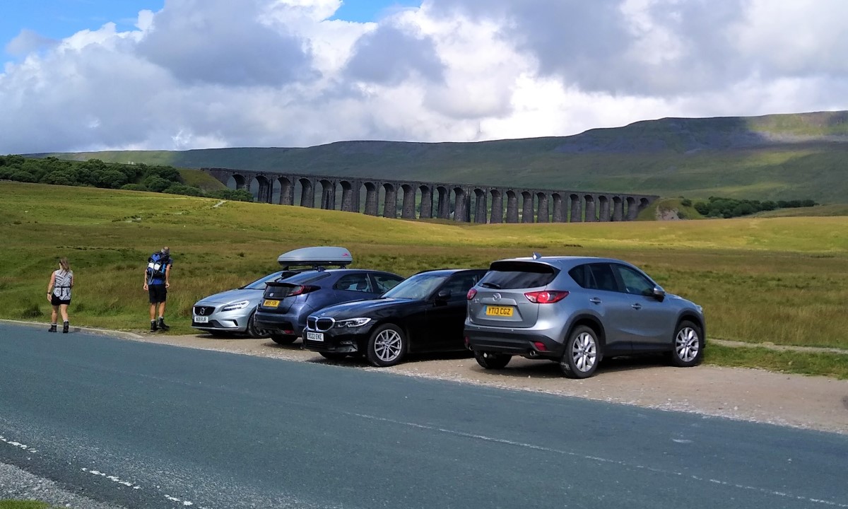
The walk starts at the roadside parking on the B6255, close to the junction with the B6497, anywhere within sight of the Ribblehead Viaduct. This is a popular area and can be quite crowded at weekends so we would recommend a weekday walk, or an early arrival.
Satnav users can use the postcode of the Station Inn – LA6 3AS – or what-3-words tag will find that polygraph.under.eliminate pinpoints roadside parking, whilst the grid reference for paper map users is SD76657934.
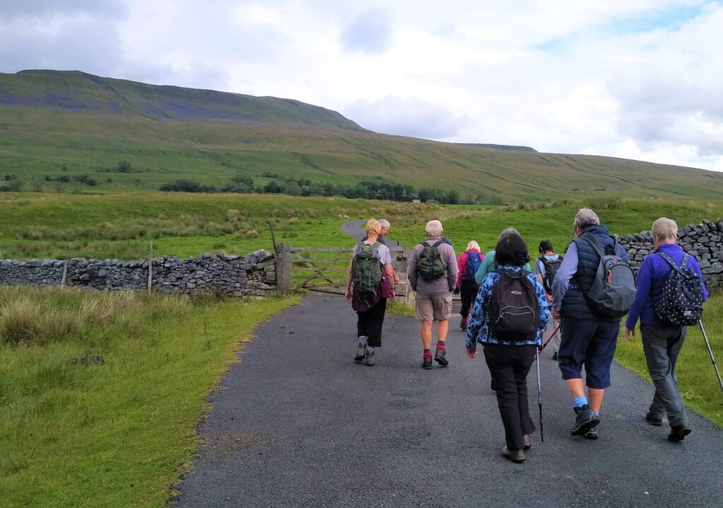
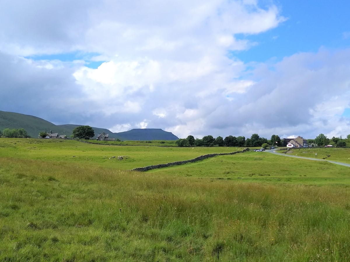
From the parking area we look back to the viaduct and see Whernside looming over it on the right.
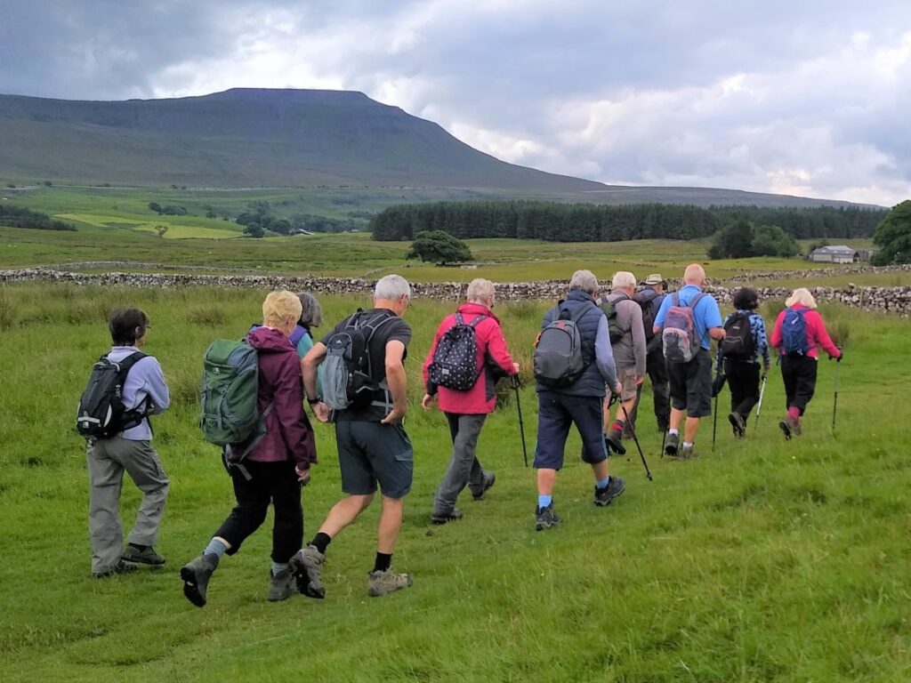
At 736m Whernside is the highest of the “Three Peaks” – despite the fact that it looks the least intimidating, lacking the clear peaks that Pen-y-Ghent and Ingleborough present.
The name Whernside was first recorded in 1208 as “Querneside”, is of Old English origin. It is derived from cweorn – meaning ‘quern’ or ‘millstone’ – so in effect translates as “the hillside where mill-stones are found”.
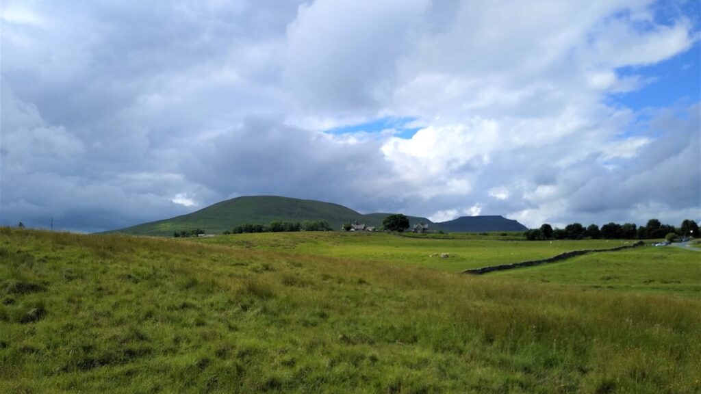
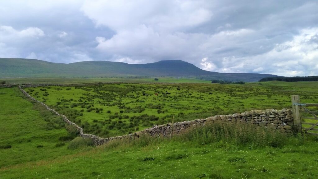
To our left, and further away, is Ingleborough – we get a better view of the mountain further round the walk.
Ingleborough is the second highest of the three peaks at 723m. Its name is less well understood though – the first element of the name “Ingleborough” has been variably explained as a Scots term for ‘beacon, fire’, an Old Danish term meaning ‘English’ or a derivative of Old English ing meaning ‘peak’. The second element is derived from the Old English word burh, meaning “a fortified place”; in this case, a hill fort. This would be consistent with the fact that the summit plateau of Ingleborough is encircled by the remains of a massive stone rampart, containing the foundations of Iron Age huts.

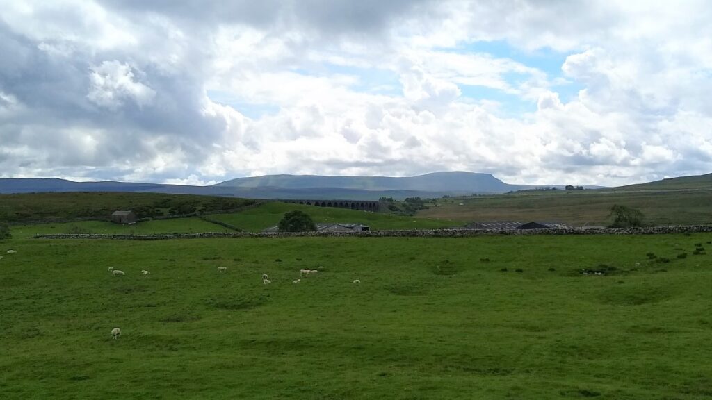
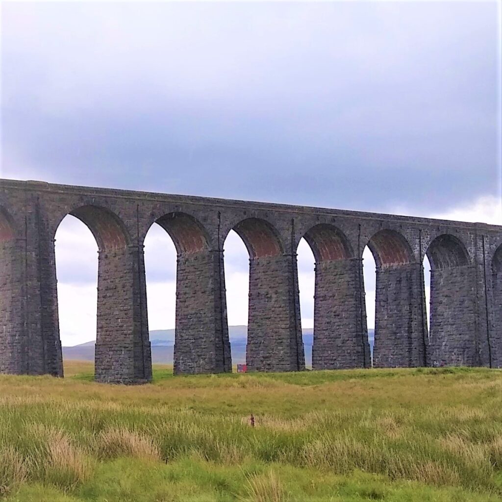
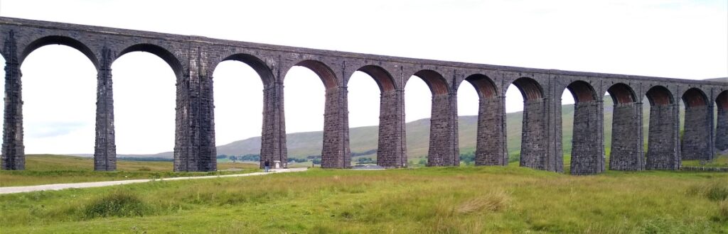
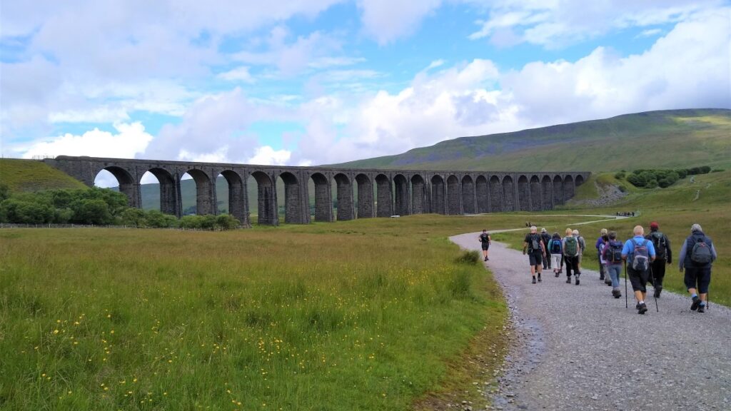
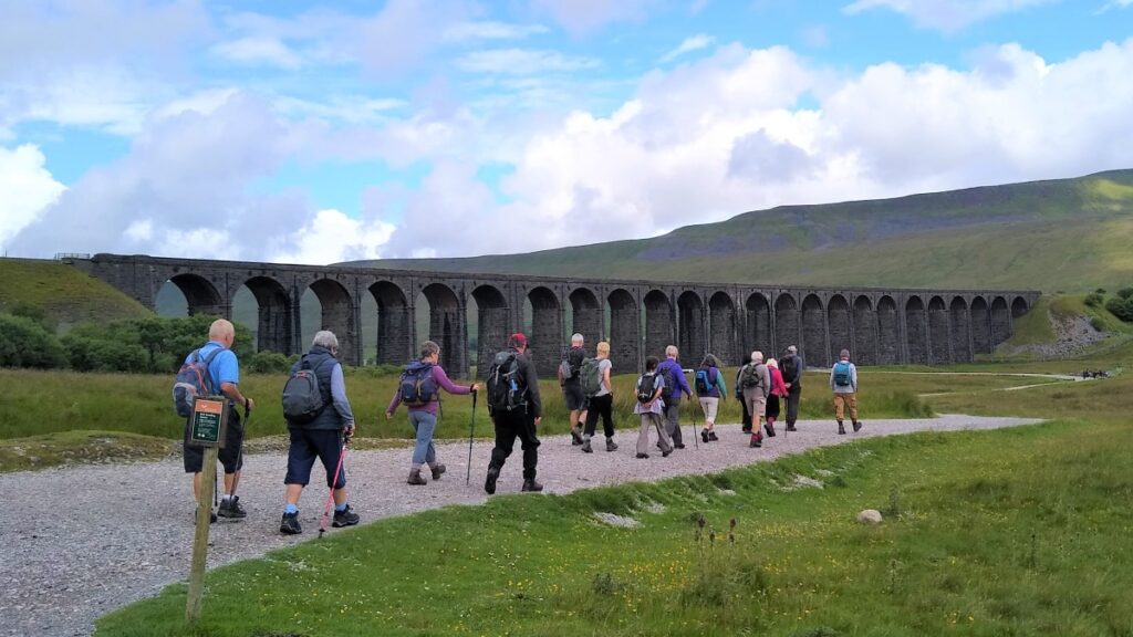
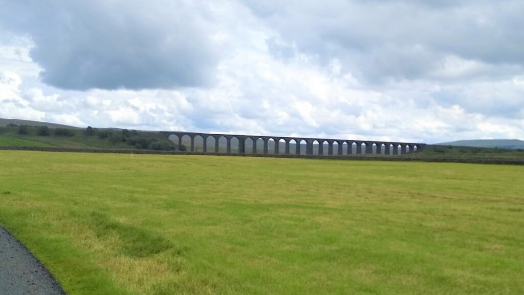
The most dominant feature of the landscape though is obviously the famous Ribblehead railway viaduct, and we see a clear path heading off toward the centre of the viaduct and we take that to start the walk.
This also the most popular route to the peak of Whernside, as well as the route for those visitors who want to stop and look at the viaduct itself – so expect company at the start of the outset.
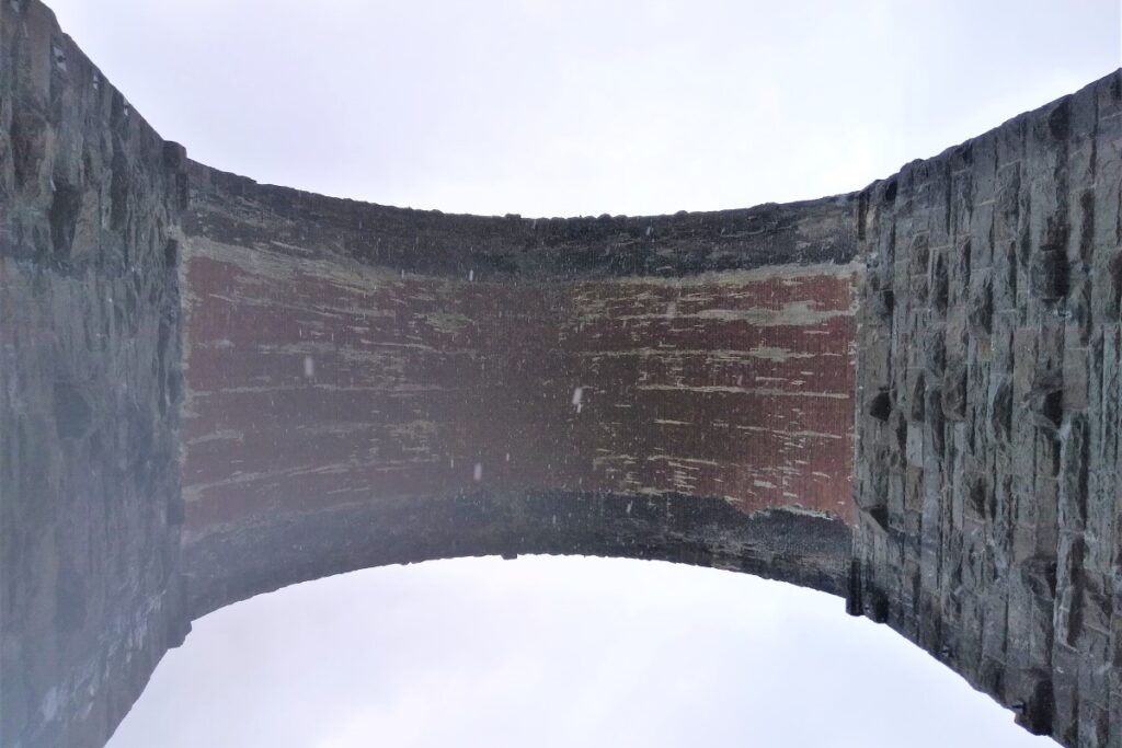
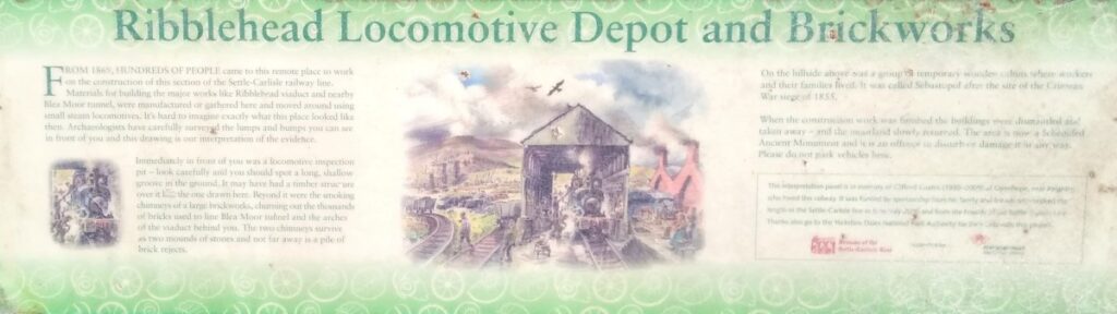
The Ribblehead Viaduct carries the Settle–Carlisle railway across Batty Moss – hence it’s alternate name – the Batty Moss Viaduct.
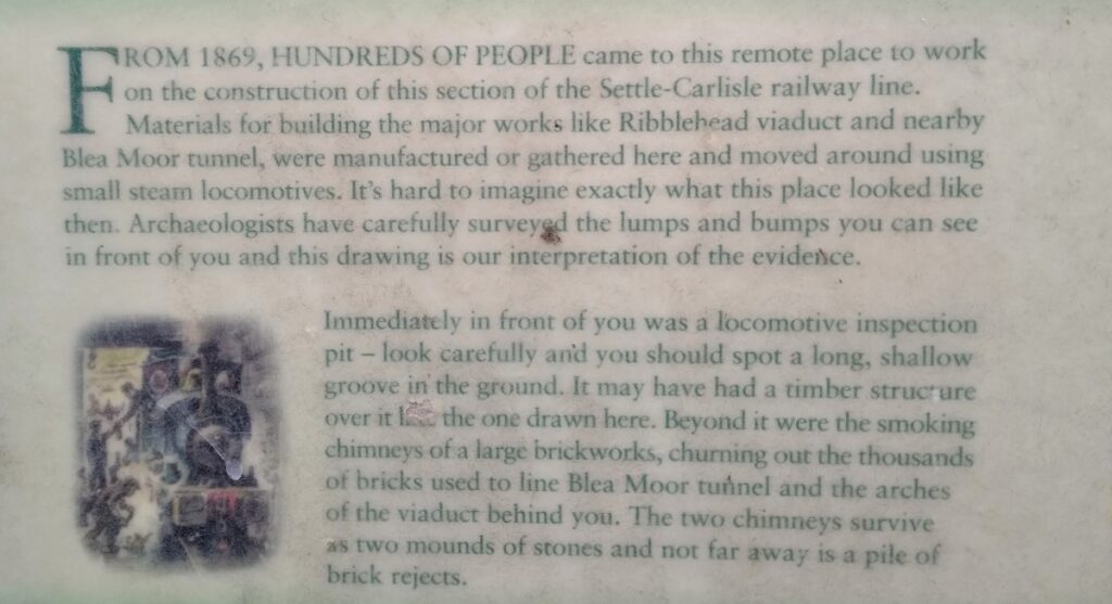
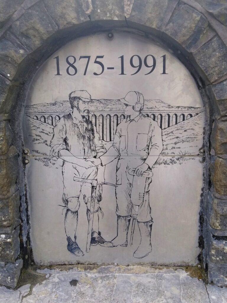
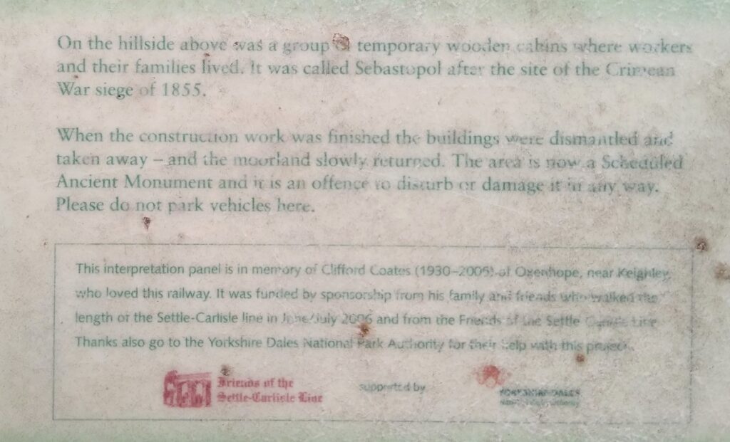
The viaduct was designed by John Sydney Crossley, chief engineer of the Midland Railway, who was responsible for the design and construction of all major structures along the line. Construction began in late 1869 and necessitated a huge workforce. More than 2000 men, most of whom lived in shanty towns set up near its base were employed. Evidence of this – including the outlines of structures associated with an on-site brick works and narrow gauge railway at low level to support the construction process are protected by scheduled monument status. More than 100 men lost their lives during its construction, a toll that was considered acceptable in those times, and on 1st May 1876, the Settle–Carlisle line was opened for passenger services.
There was a proposal to close the line in the 1980s as the maintenance costs were considered too high. A well supported campaign to save the railway and the viaduct were successful, and it is now considered a jewel in the crown of the rail network.
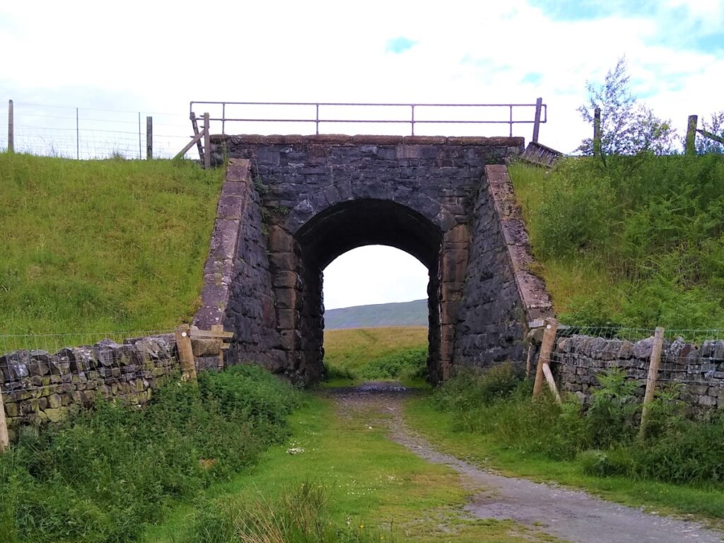
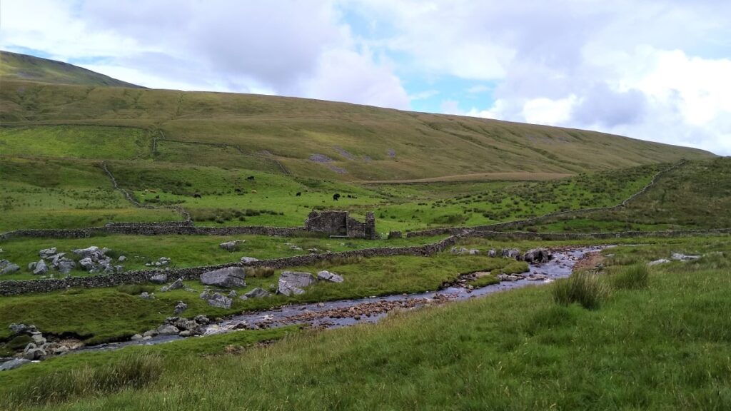
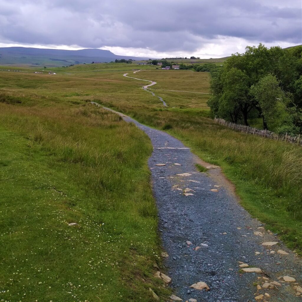
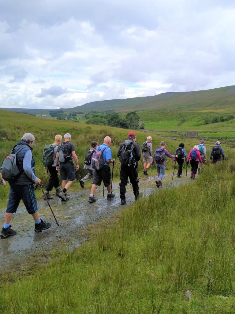
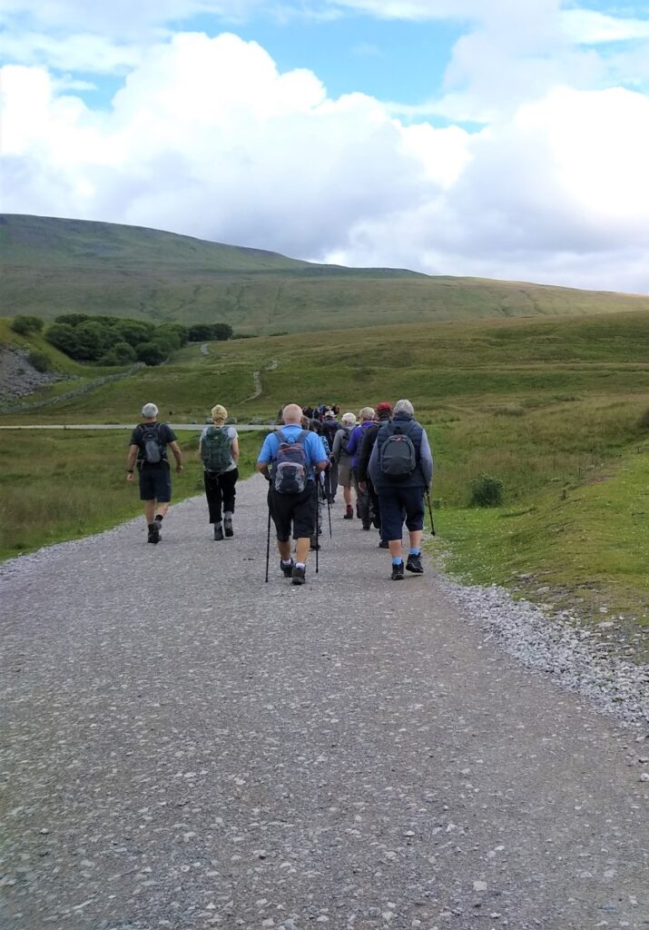
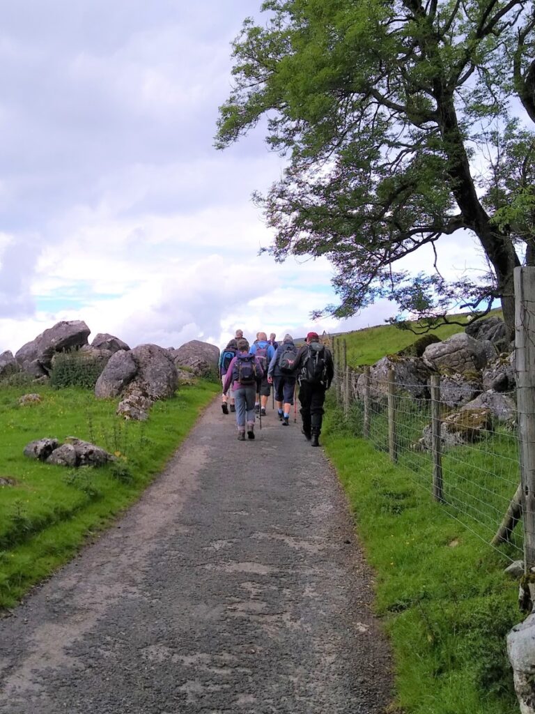
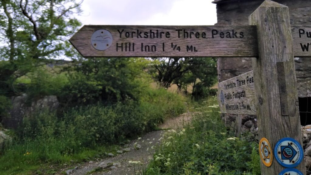
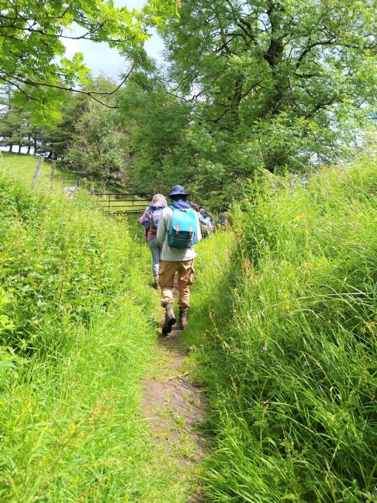
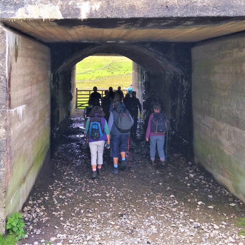
We stay on the right (East) of the viaduct, following the railway North as it curves round toward the Bleamoor signal box and beyond that the Bleamoor tunnel. As we approach the signal box, and the wonderfully remote house next to it, look out for an arched passage under the railway on the left – signposted as a Bridleway to Winterscales – this is where we divert away from the popular Whernside climb and take a less trodden but very attractive route along the base of the hill.

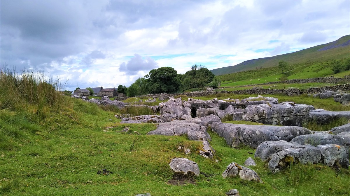
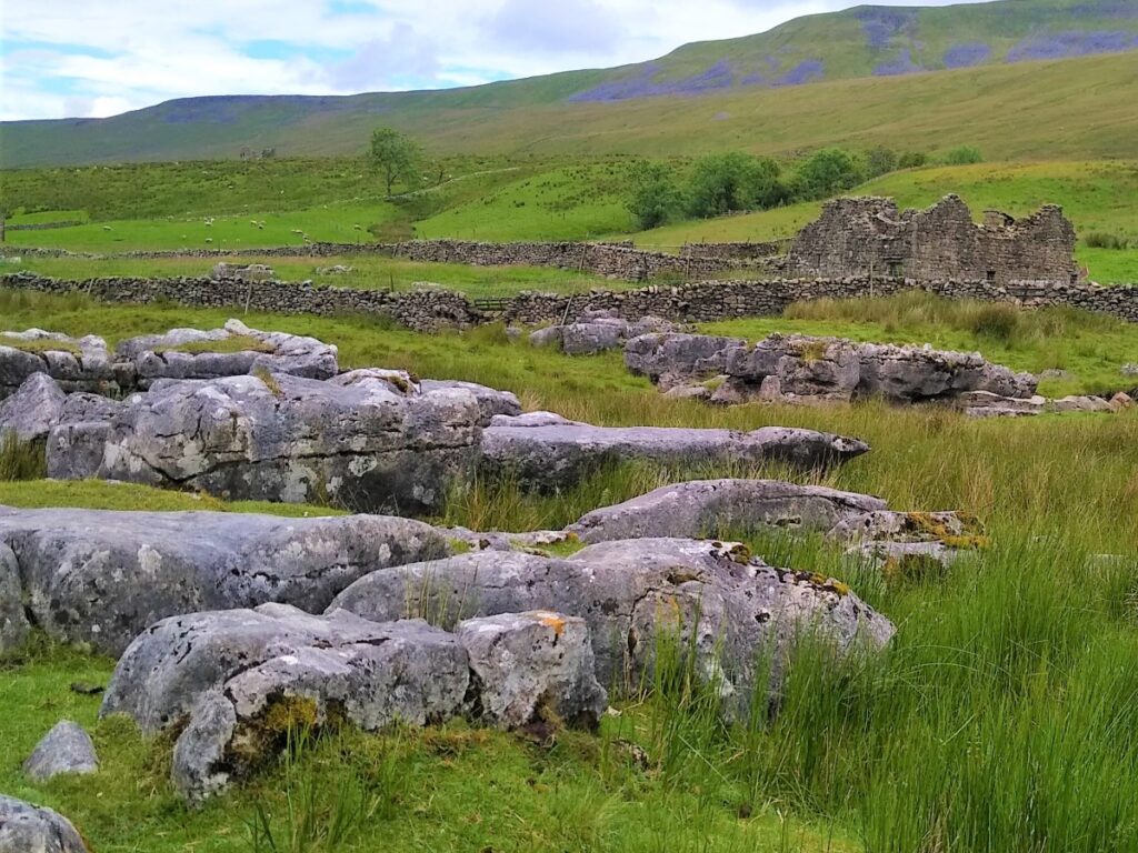
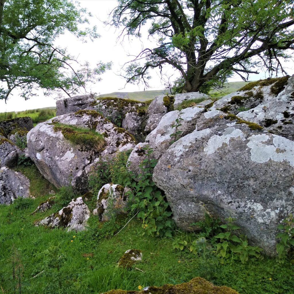
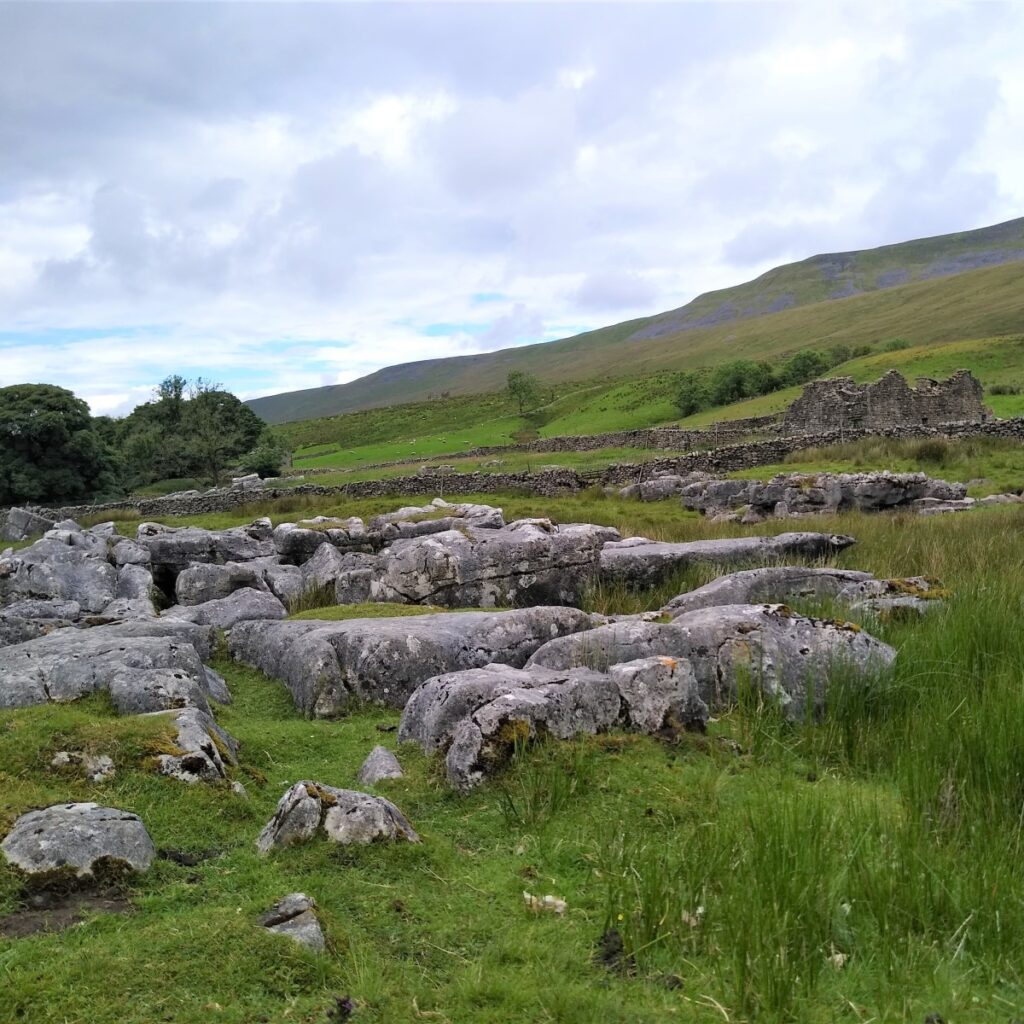
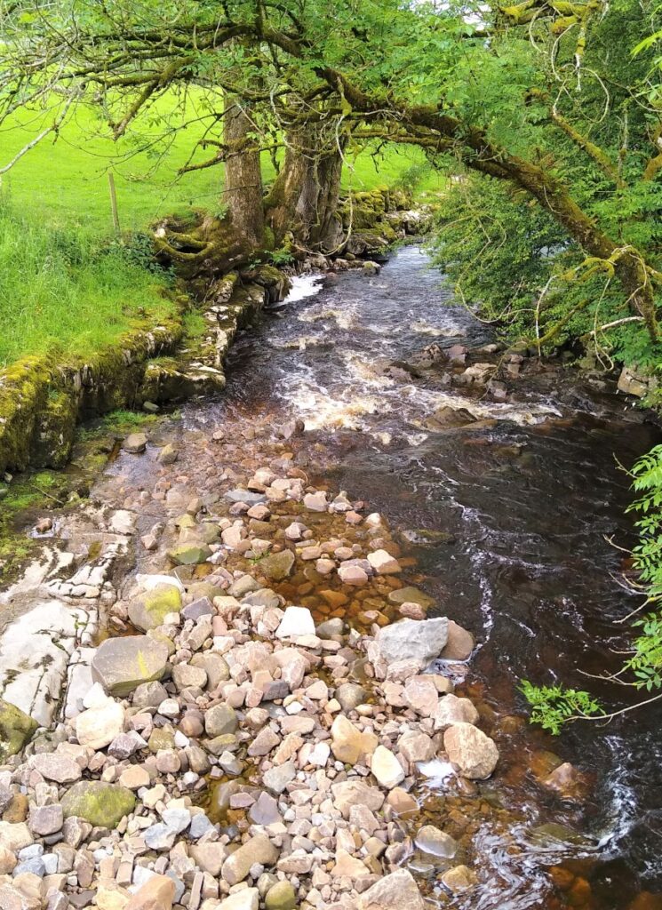
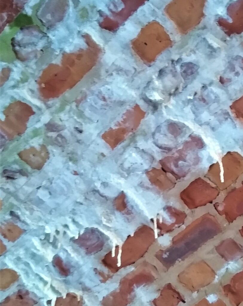
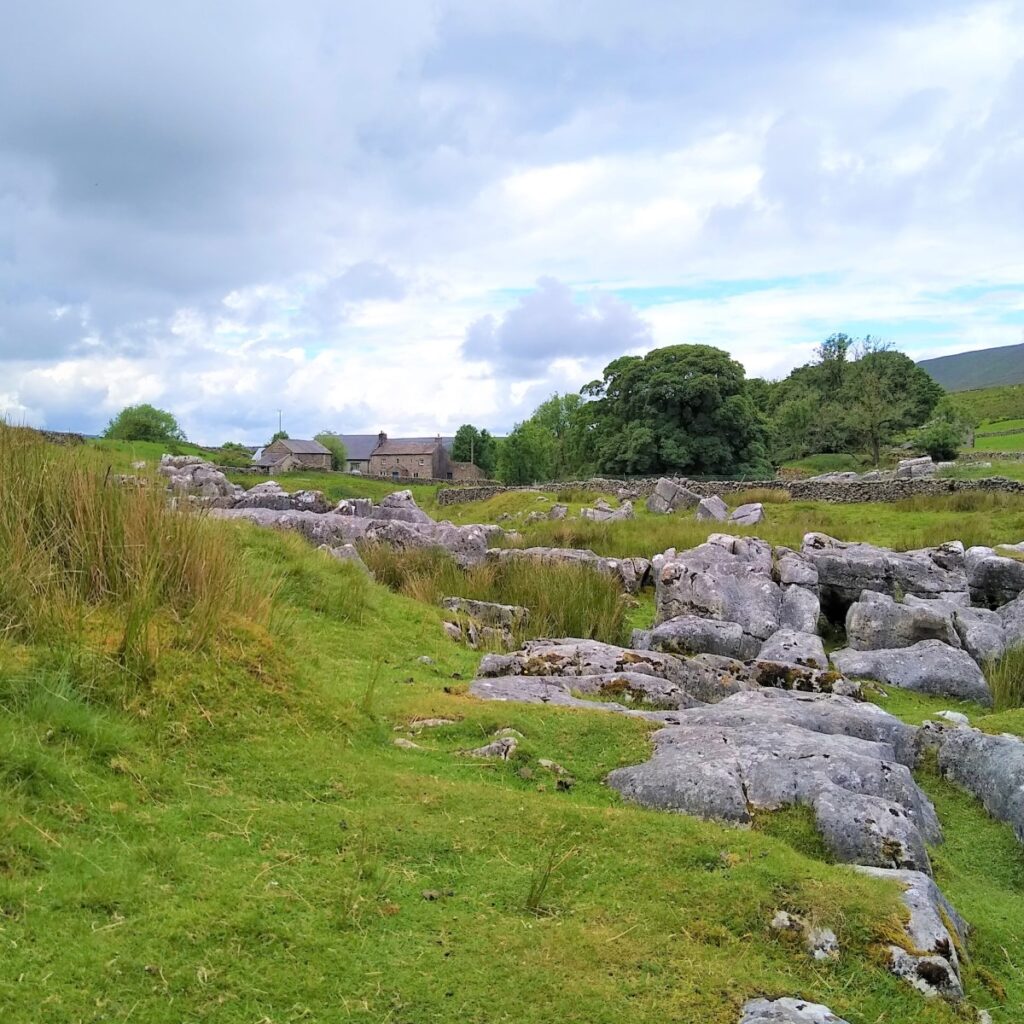
Under the arch, constructed from bricks made on site during the construction phase of the viaduct, we follow the bridleway along the base of the valley noting several small streams coming together to form Winterscales Beck. Also worthy of note along here are some very attractive areas of limestone pavement.
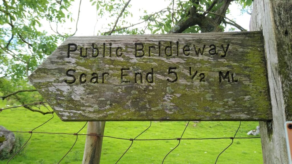
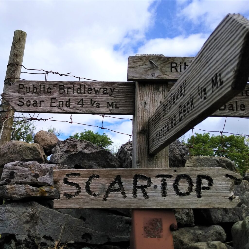
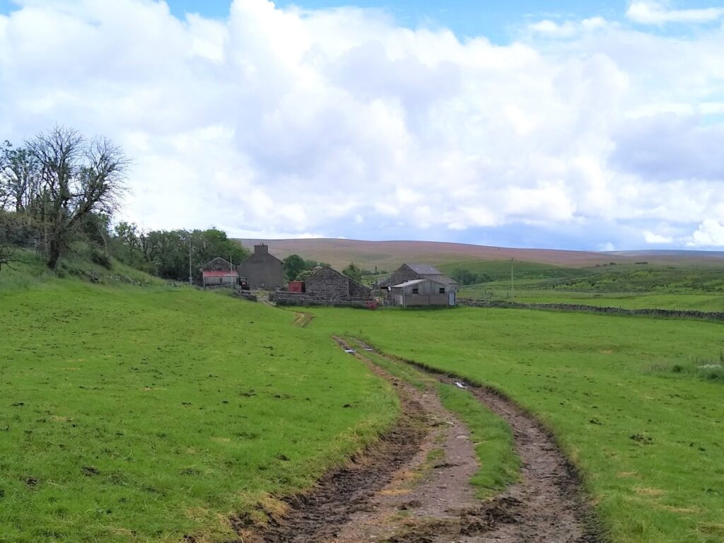
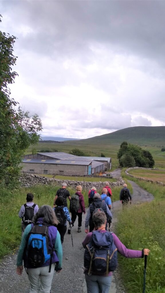
We pass Winterscales Farm and cross an attractive bridge so that we are now to the right of the beck – now with a significant flow. The bridleway continues along the contour lines heading Southwest. A farm track leaves on the left heading down to Gunnerfleet farm – ignore this – and follow the signage for the Bridleway to Scar End.
Similarly, ignore a farm track on the right slightly further along as we approach Scar top.
A number of paths come together here – our route is the clear and obvious one signed for Scar End.

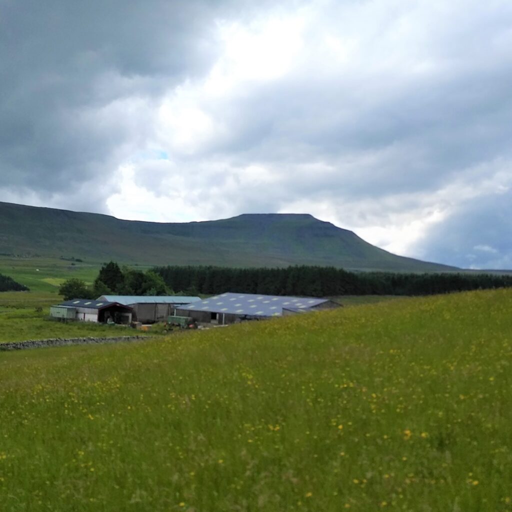
We continue along the bridleway for a while now, enjoying good views toward Ingleborough on the left, and the viaduct slight behind us now, until we arrive at an attractive house called Broadrake. This is the base for a number of interesting craft workshops such as blacksmithing, willow weaving, spoon carving and painting, leaflets are available on site, or their website can be found by clicking here
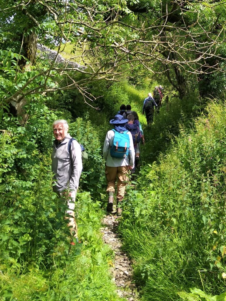
Although there is a lane heading left at Broadrake, the bridleway, and our route, carry on straight ahead along the valley for one more field until we meet a farm building beyond which the steep path down from Whernside joins us. Here we turn left and head down Philpin Lane toward the main road.
We see signs of a disused quarry on our right, and marked on the OS map, but not particularly evident on the ground, is an ancient settlement to the left.
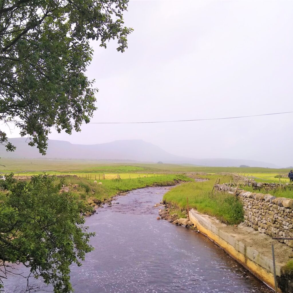
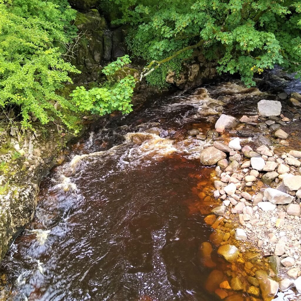
As we approach the base of the valley, the track crosses what initially appears to be a stream bed – this is in fact generally dry, and we turn left here to head back up the valley initially toward Haws Gill Wheel.
If there has been persistent and/or particularly heavy rain, there may indeed be a flow here so take care to schedule this walk to avoid such conditions. As we arrive at Haws Gill Wheel, we see why the flow in the stream bed is intermittent: Winterscales Beck arrives with a generous flow on our left, but disappears into an underground cave at the Wheel. When rain is exceptionally heavy, the capacity of the cave system is inadequate to take the full flow of the beck, and so a swirling eddy forms at the wheel which overflows down the normally dry stream bed that we approached on.
On the day of the group walk, flow was moderate, so the wheel was unspectacular – but as we have seen on other Bentham Footpath Group walks, this is not always the case – take a look at this YouTube video to see it in spate.
Continuing on, we cross the route of the Winterscales beck below the point where it disappears and then track upstream with the beck on our left. The route is well trodden and clear and takes us northwest to pick up a broader farm track which curves round to the right before crossing the beck at Ivescar.
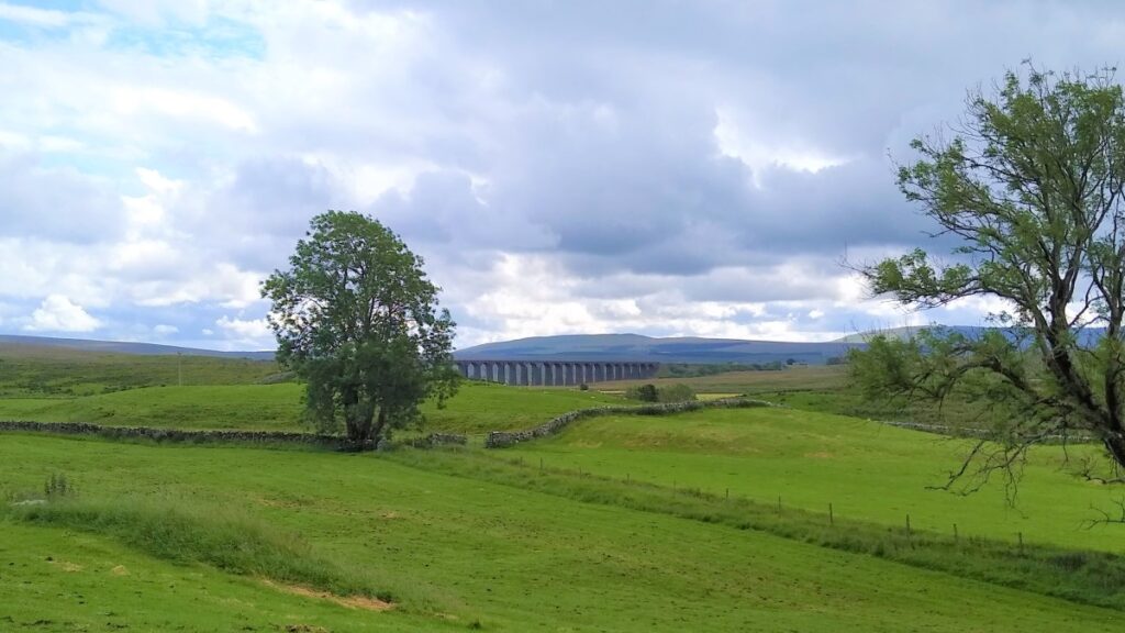
From here the Viaduct dominates the view ahead, and unlike earlier in the walk we can appreciate the subtle curve of the entire structure.
Just after we cross the beck, the route forks three ways; We take the right hand option, effectively following the beck which we keep on our right, until we arrive at Gunnerfleet Farm where we cross the stream yet again, to pass in front of the farm following the track round toward the centre of the viaduct.
As we walk under the arches of the viaduct it is impossible not to be impressed with the scale of the structure – and it is worth taking a moment to read the information boards that detail the restoration process and honour the original construction.
The path continues back to where we started – although by now the ice cream van and the pub should be open!
- Total distance 9.2 km (5.7 miles)
- Total Ascent 208 m
- Easy walk