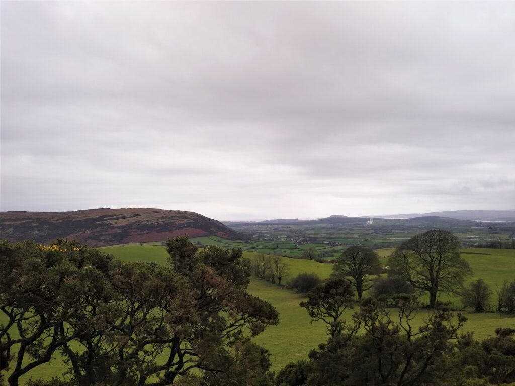
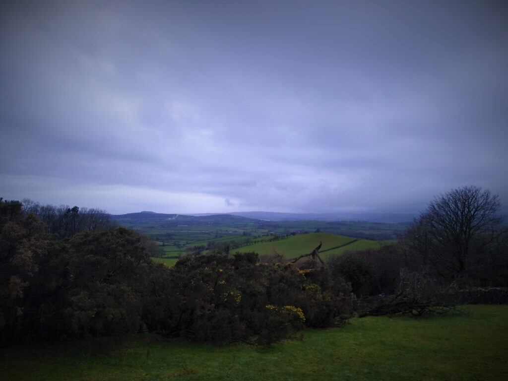
We have all driven through Preston Patrick – mostly without even noticing, so this walk is a good opportunity to get to know the area.
The walk just creeps into our “moderate” category, simply because it’s fractionally over 12 km, but the paths are good and the ascents gentle, so if you normally prefer our easy walks please don’t dismiss this one.
There is also an opportunity to shorten it – the route is near enough a figure of eight with a shortcut at the centre that can halve the distance – a decision you can make on the day.
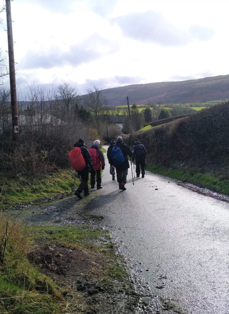
The route starts at a free car park before taking quiet lanes to Preston Patrick Hall where we cross under the M6 to continue on farm tracks and minor roads before taking footpaths up Scout Hill as far as Lupton High. We then head downhill on farm tracks to Fowlstone where we cut back toward Crabtree and then over to Nook where we cross the A65 and pick up the Lancaster Canal. This takes us back to our starting point.
Total distance 12 km (7.5 miles)
Total Ascent 451 m
Moderate walk
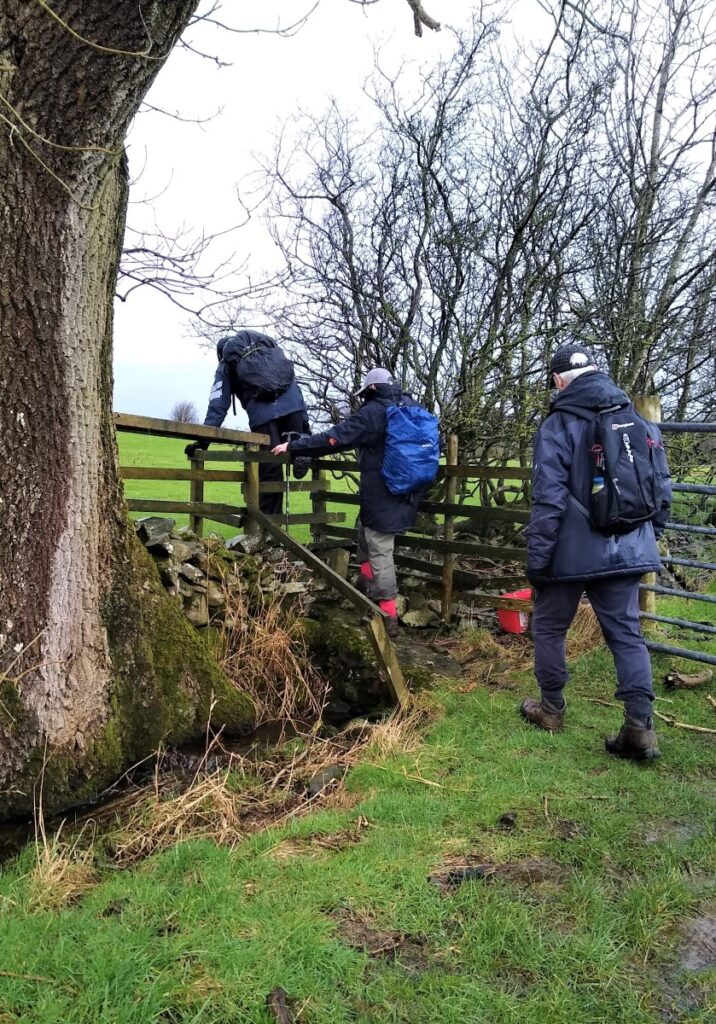
Please note that we have had user feedback regarding this walk that suggests that a number of stiles have fallen into disrepair, and that barbed wire has been placed such that use of the stiles is hazardous. Please take extra care and report any deliberate damage to the local authority Public Rights of Way department. Preston Patrick is in South Lakeland District Council.
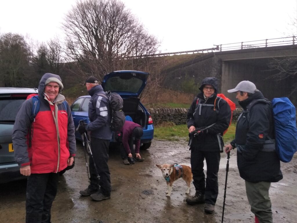
We start at the Canal and River Trust car park at Millness bridge. This is easy to find –take the A65 North toward Kendal, and it’s on the left immediately after the road passes under the motorway. Grid reference SD537830, What-3-Words “dates.loopholes.toolkit”, or postcode LA7 7NX should all find it.
Parking is free, and is shared with a Kayaking centre. Spaces are generally available.
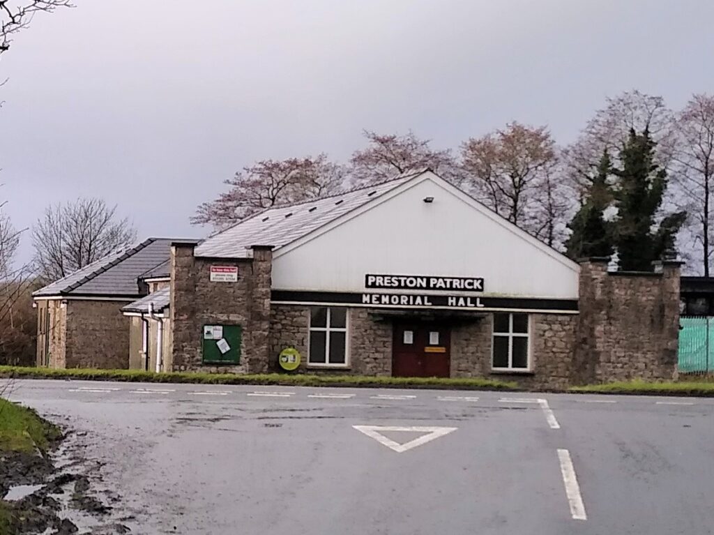
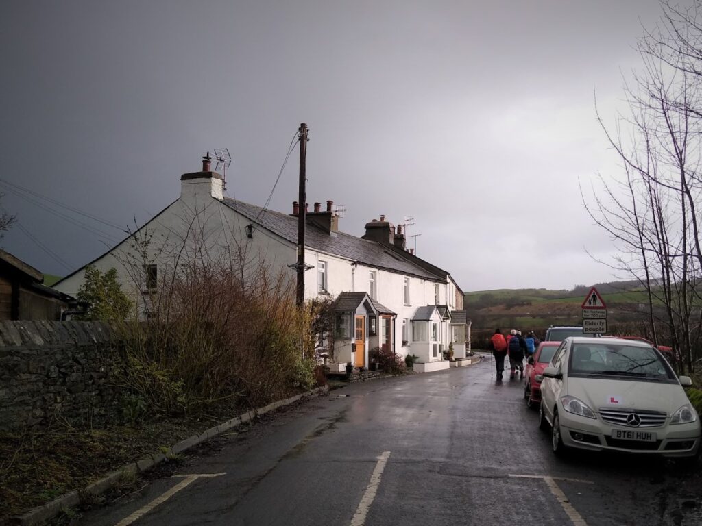
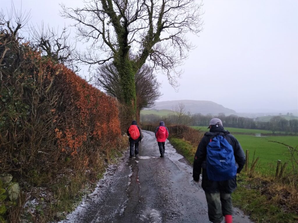
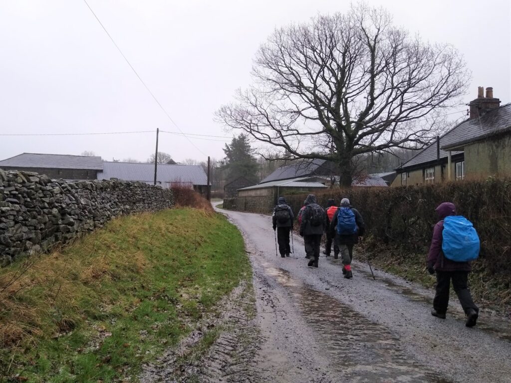
From the carpark, we return to the A65, and set off North toward Kendal – there is a pavement on the right hand side of the road. Keep an eye open for the white cladding of Preston Patrick Memorial Hall – this is on your left, and no more than 100m after the start, so the time on the main road is minimal.
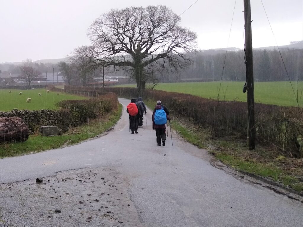
At the village hall take a right turn onto a quiet lane that runs alongside Skip Burn – which feeds water to the Canal. We are now walking NE and parallel with the M6, although it is well shielded by the trees so does not intrude.
Follow the road until it starts to veer left at which point, where we meet a Y-junction and take the track on the right which leads us to Preston Patrick Hall.
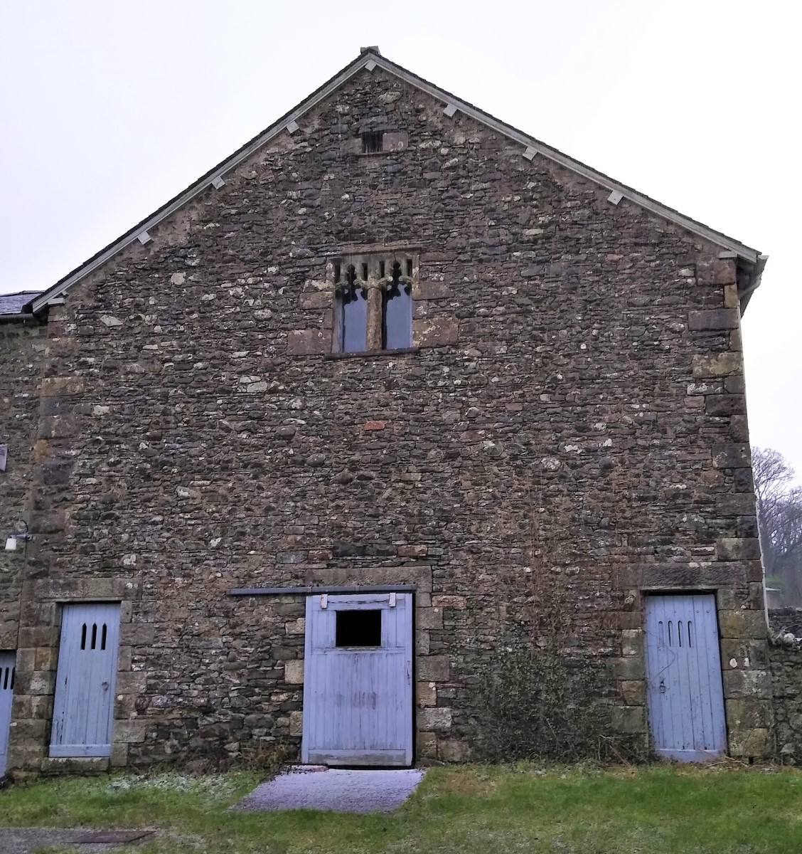
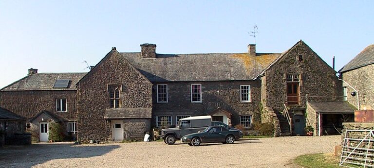
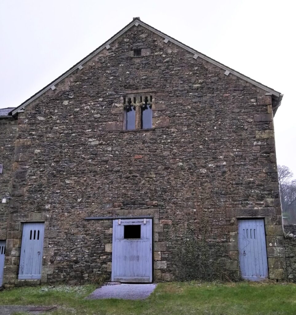
First built in the 14th century Preston Patrick Hall has 15th and 16th century additions and has seen a significant amount of remodelling. The original design was based around a Pele Tower – a defensive structure where villagers would seek protection in the event of threat from raiding parties. That tower is on the right hand side of this image, and it is thought that it was originally 3 stories high. The central hall and the left hand wing also date from the 14th century. The remaining buildings that now form a large courtyard were added later. The whole site is now used as a farm.
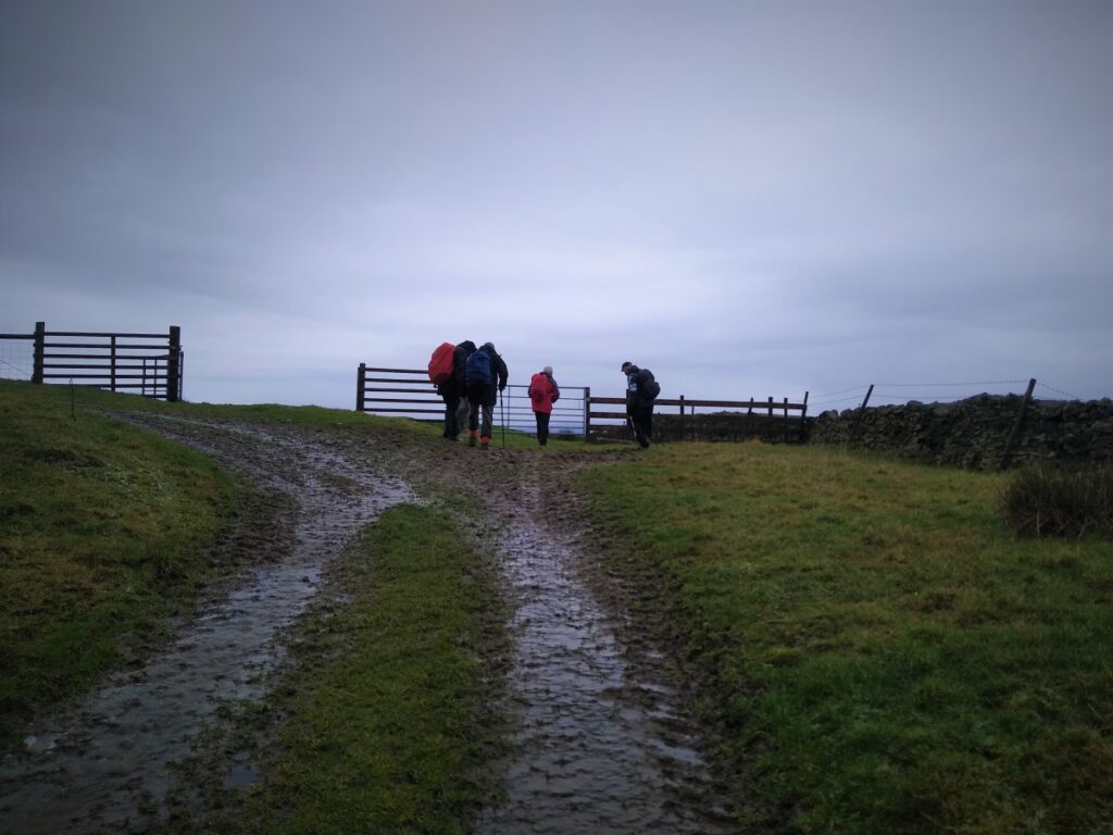
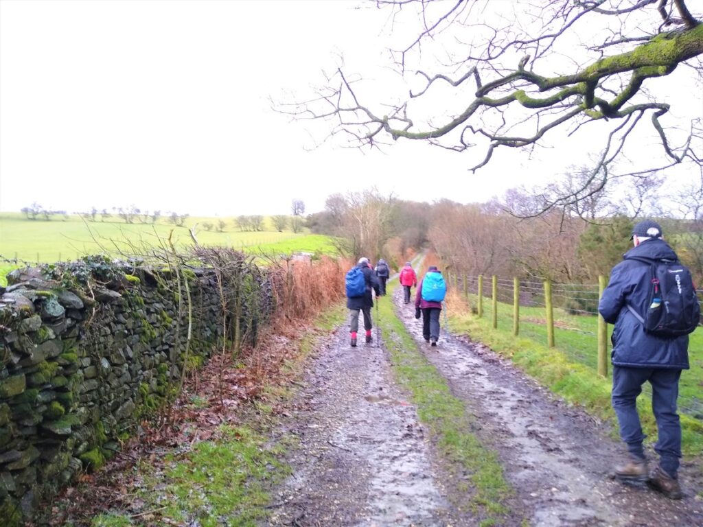
Continue past the farm buildings and note an underpass which takes us safely to the other side of the M6 where we find a fork in the track. We take the right and head away from the M6 and gently uphill along the edge of the woods.
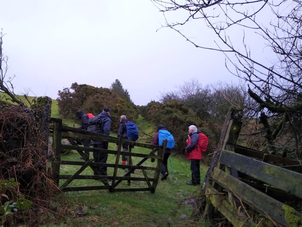
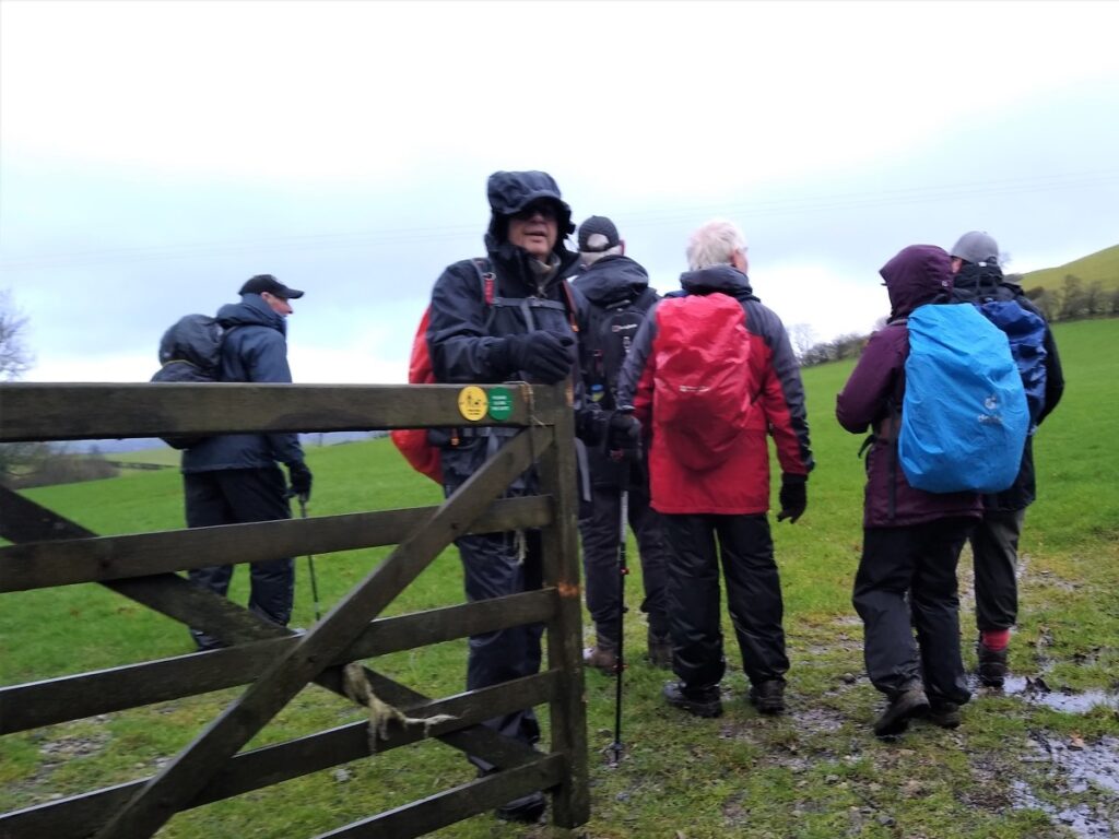
We follow this track for a little while, until it crosses the beck at Camsgill. At this point we turn sharp left and head up past the farm heading East. Keep an eye open for a stile on the right hand side of the track – we take this and then follow the field boundary in a Southerly direction to find a minor road on the far side of the field. Here we turn right and head downhill.
Ignore a track on the right, and look out for a lane on the left which takes us SE. Follow this for a while, on fairly level ground, until you arrive at a point where the main track turns sharp left and heads uphill. There is also a track to the right and a path straight on – ignore both of these if you want to do the full walk, but if you want the half distance version, take right and head down the lane.
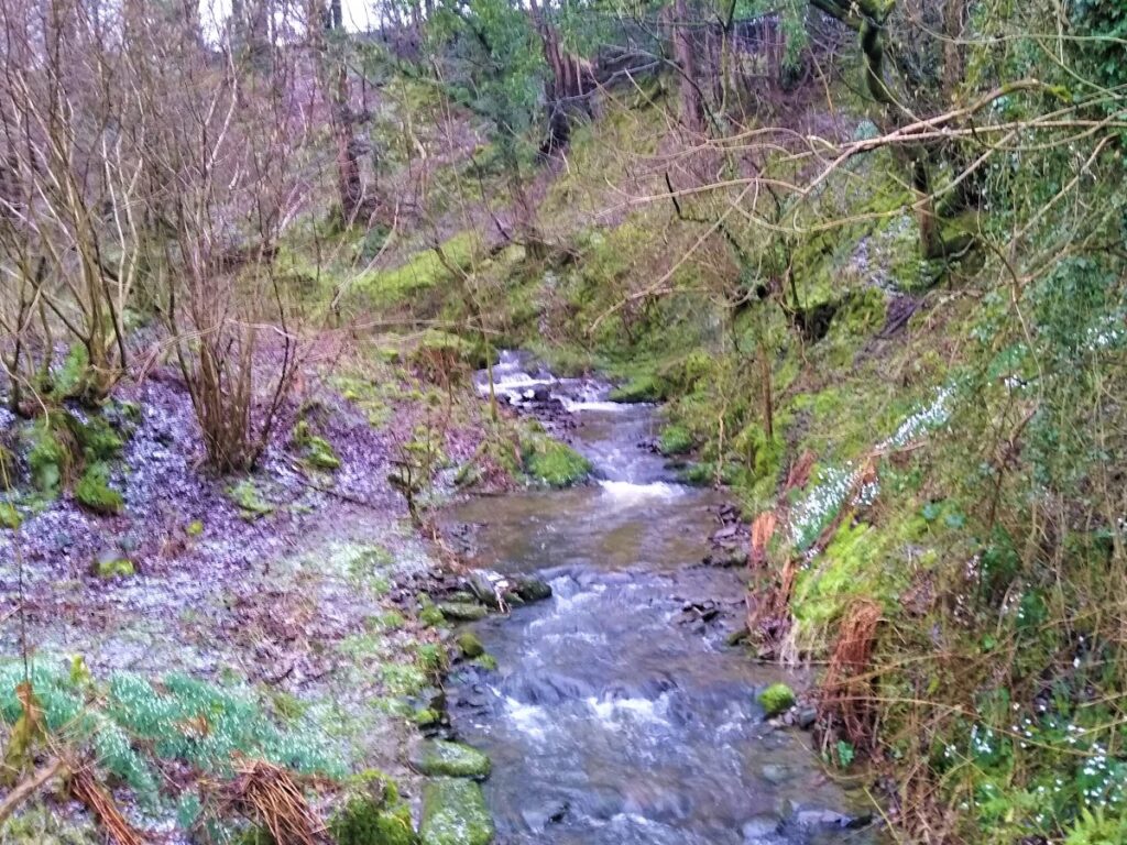
We now climb gently with Sarah Beck on our right, until the track veers right and crosses one branch of the beck, to follow a smaller feeder which is initially on our right.
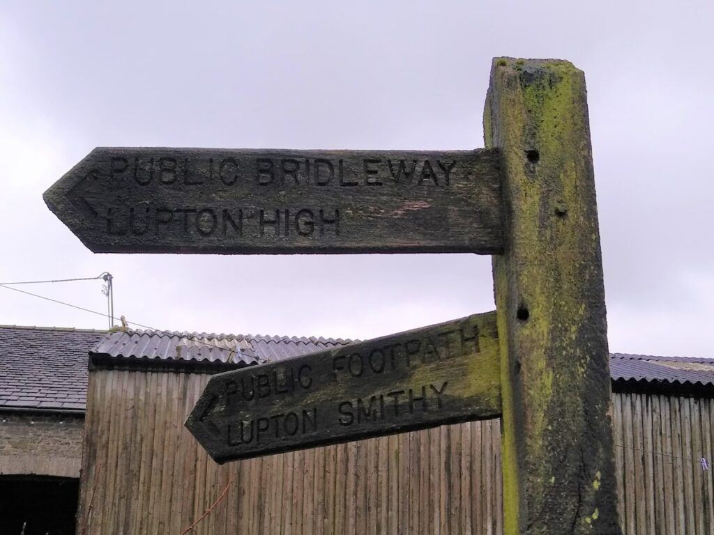
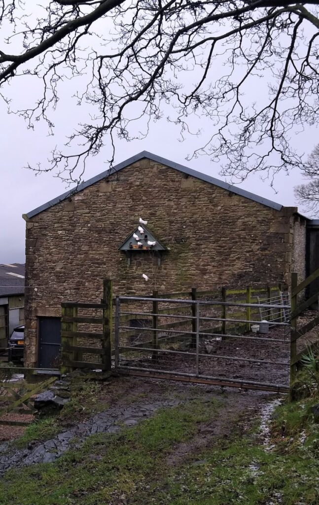
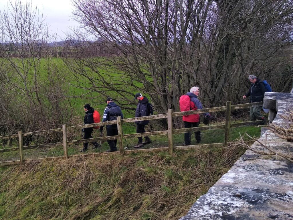
The track soon ends, and we now walk along field boundaries with clear stiles and gates to mark the route until we come down to buildings at Lupton high – a characteristic Dove Cote provides reassurance that we are in the right place.
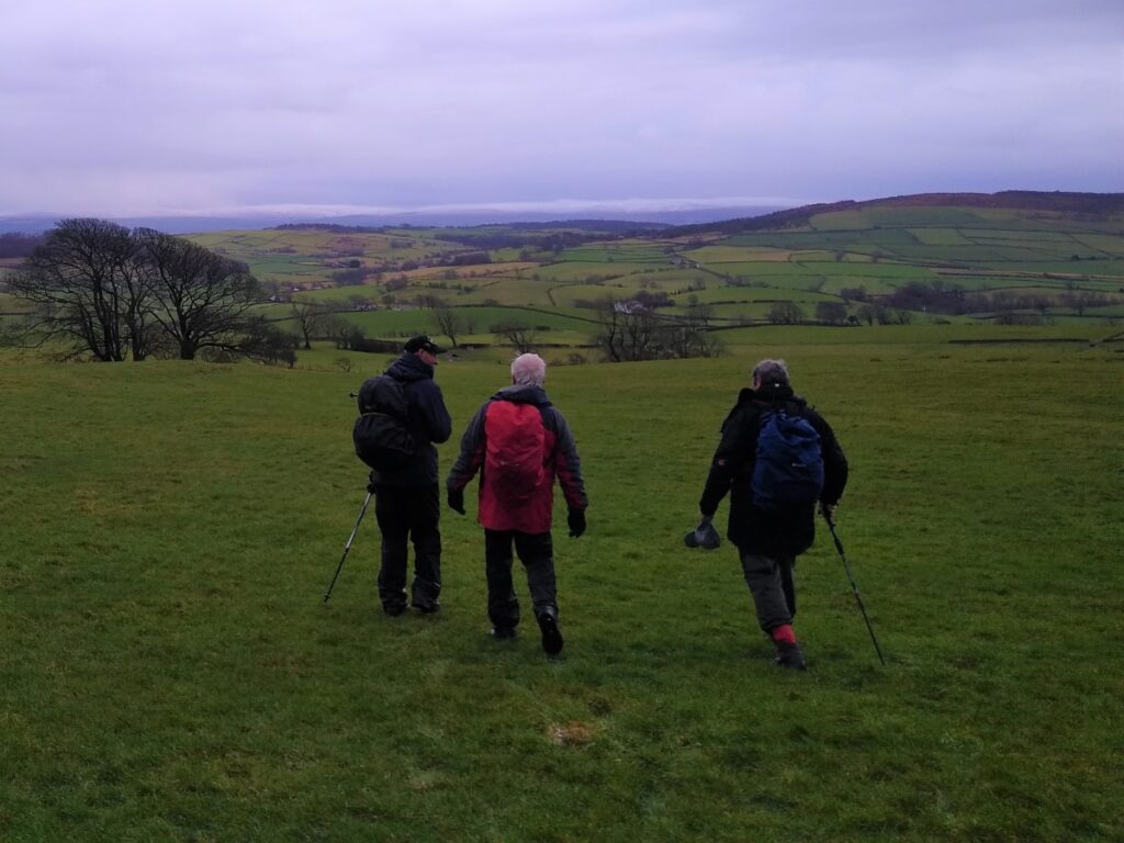
At Lupton High, we turn left and walk away from the buildings along a track which soon veers right. At this point we take the gate through to the open fields where we head SE and gently downhill. There is another right of way from Lupton High, and this heads NE and uphill, so take care to take the correct route.
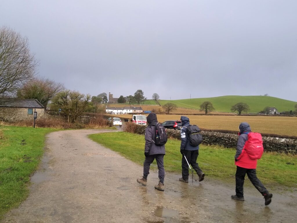
The path along field boundaries soon turns back into a lane and brings us down toward the A65 again at Fowlstone, but just before we meet the main road, look out for a footpath sign on the right which takes us behind the houses and onto a footpath across the fields.
We are now heading NW and our path takes us across a number of stiles / gates and eventually to farm buildings at Crabtree Caravan Park where we meet another small, metalled road and turn right.
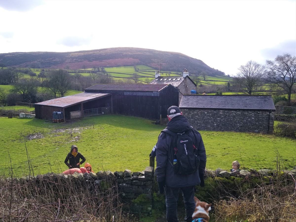
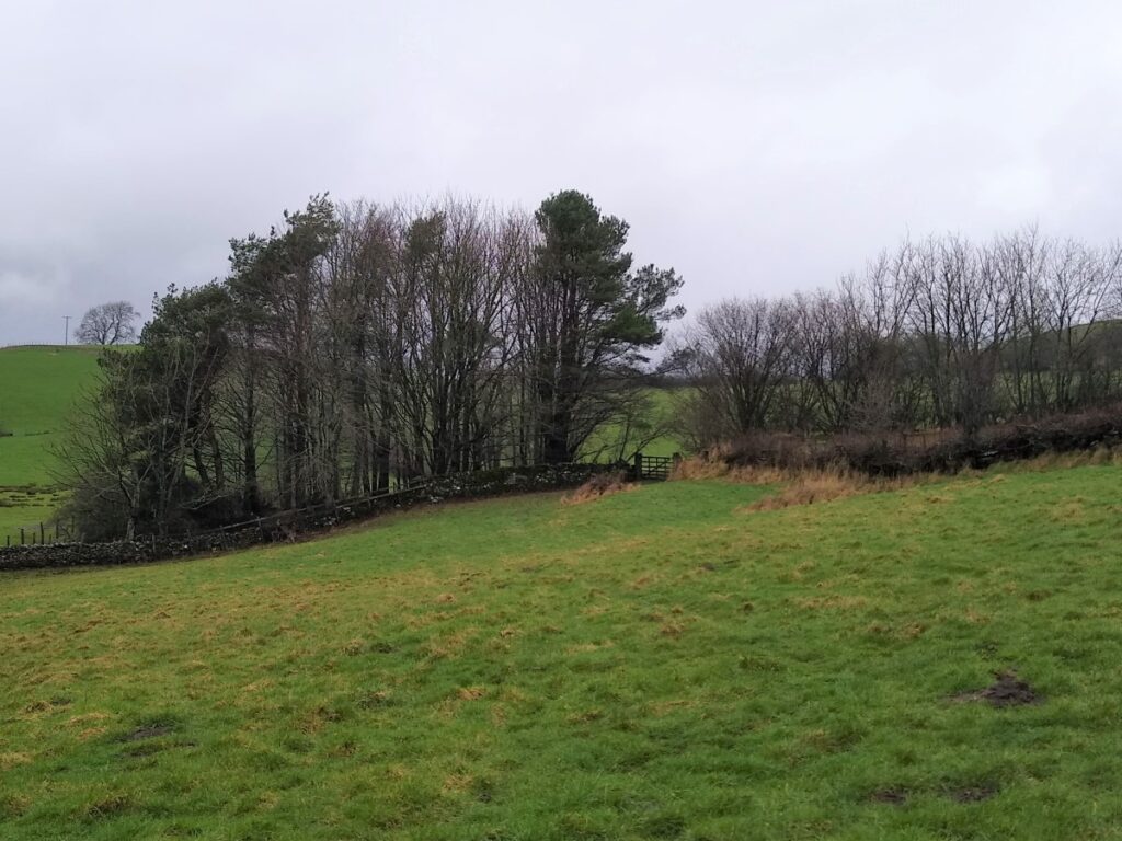
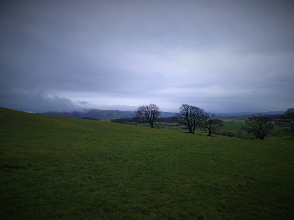
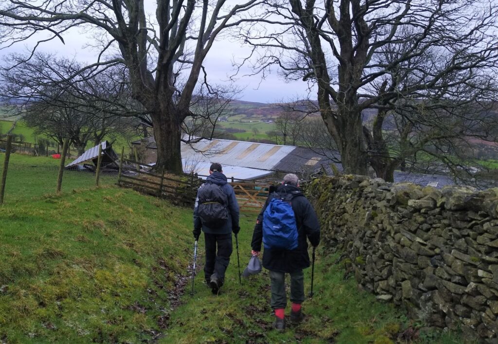
Follow the road uphill and to the North, looking out for a gate on the left after perhaps 30m, which is clearly signposted as a footpath. Take this route north west following the contours of the hill as the path brings us to Highlander wood. This is a good point to have a break.
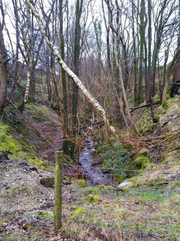
Just beyond the wood, we cross a stream – either at a ramshackle stone footbridge, or by striding over upstream of here, and head toward a stile back onto a lane. This is the lane you will be on if you took the earlier shortcut, and from here both routes head downhill, passing Craig Wood on the left before meeting a minor road where we turn left, and again head downhill.
After a short while this minor road arrives at the A65, and we turn right, and cross to the far side to walk safely on the verge for just a short while -almost immediately we see a stile on the left taking us down into a field behind a farm building.
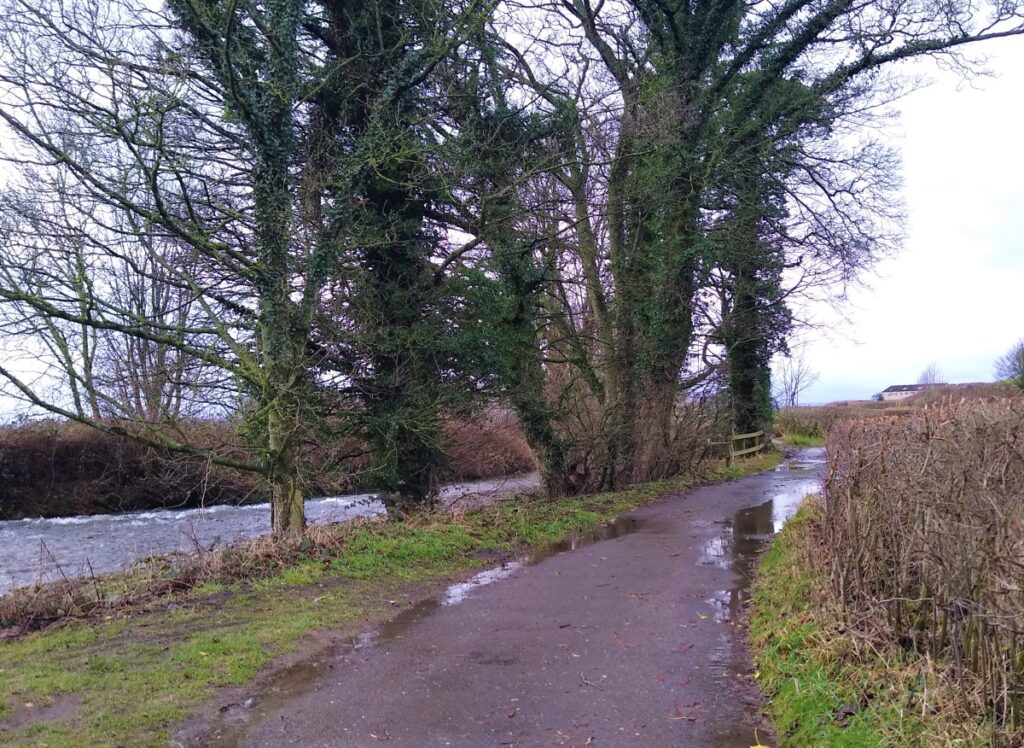
Walk between the buildings to pick up a track where we turn left past well-tended gardens and down to the side of Lupton Beck.
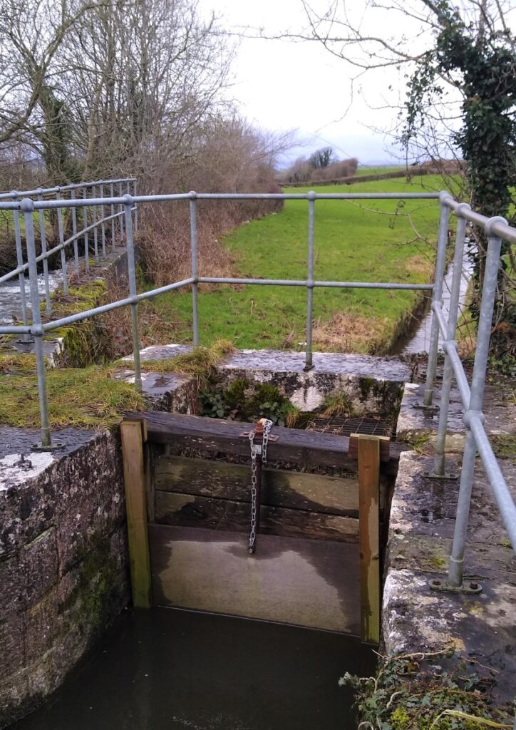
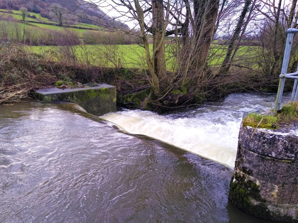
Ignore the road on the left which crosses the beck, and head toward the weir and the sluice gate. The function of the weir is to create a head of water that can then be drained via the sluice gate to top up the Lancaster Canal – our next landmark.
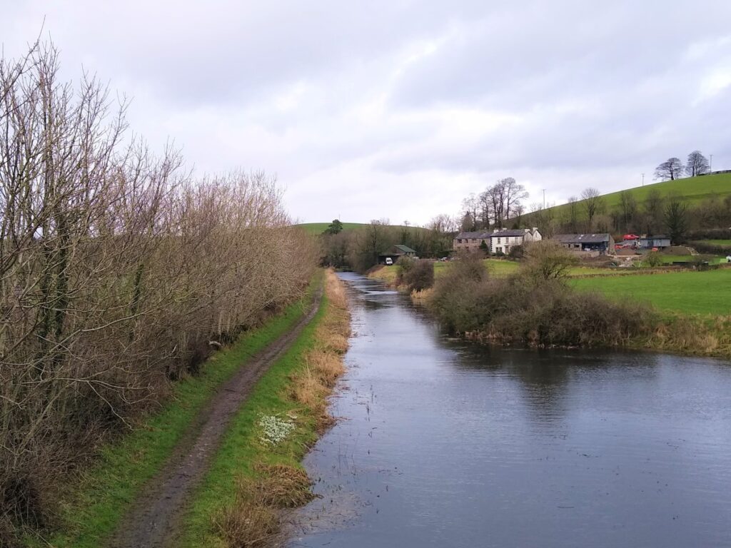
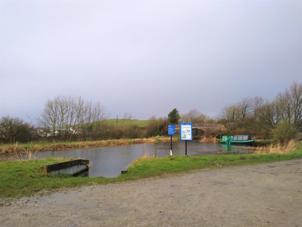
Follow the lane past Dove House Farm (on the right) and look for a canal bridge. Here we cross the Lancaster Canal and take the path on the left down to the towpath where we turn sharp left to pass back under the bridge and head North.
Notice the Winding Hole just past the bridge; these are structures which allow boats to turn round – given that boats are typically longer than the width of the canal, turning round requires especially widened areas.
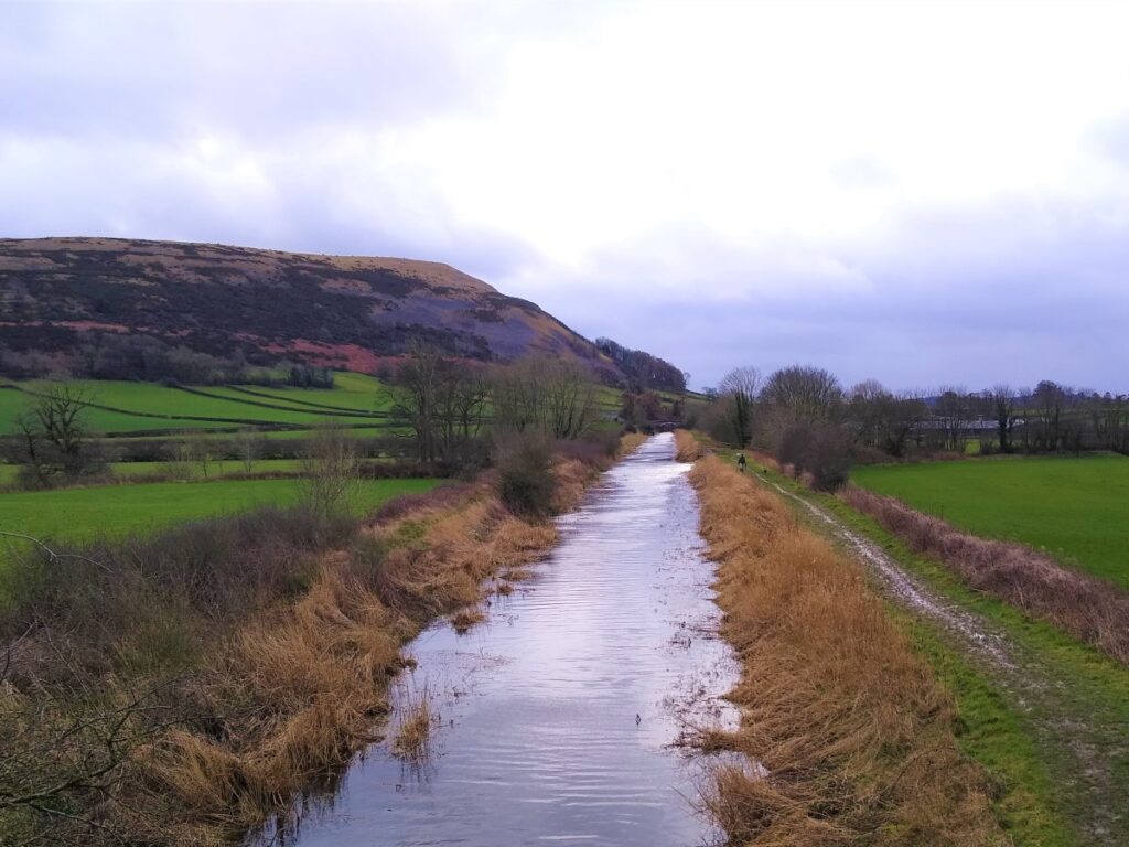
Continue along the towpath, crossing under the A65 at Moss Side, and again at Longcroft, to see the embankment of the M6 ahead. The canal is severed by the motorway at this point, and so a path has been provided to take us back to the A65 where we turn left and walk under the bridge to return to our starting point.