Orton is a small market village established in the reign of Edward I in the 13th Century, which enjoys inspiring views of Orton Scar and the Howgills. Crystal clear becks enclose a small central green which shares space with 17th and 18th century cottages. On the scar above the village is Beacon Hill and an area of spectacular limestone pavement. Beyond this we walk through a nature reserve, and visit an ancient stone circle. Add in a chocolate shop in Orton, and this could be the perfect day out.
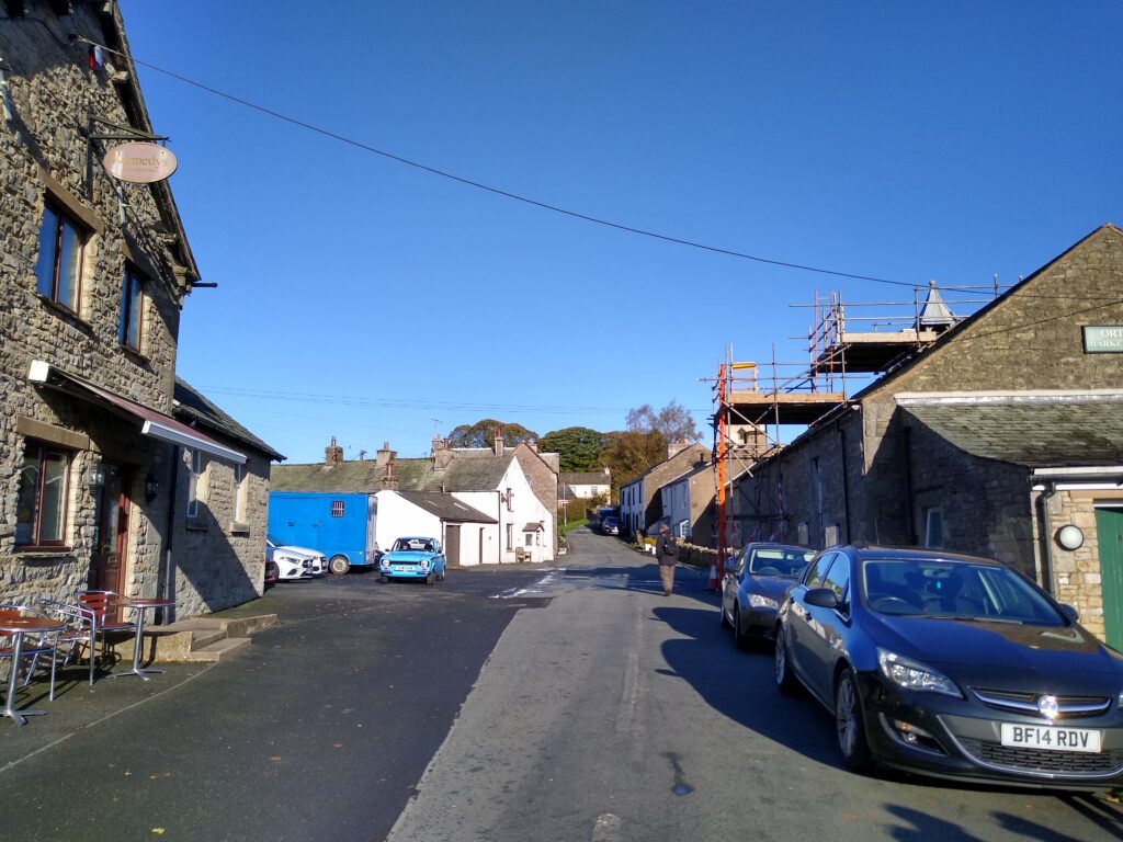
Orton is easy to find – use junction 38 of the M6 and then follow the signs from the roundabout via the B6260. Parking for this walk is at the roadside in the village – generally plentiful, and as an added bonus there are public toilets in the village centre.
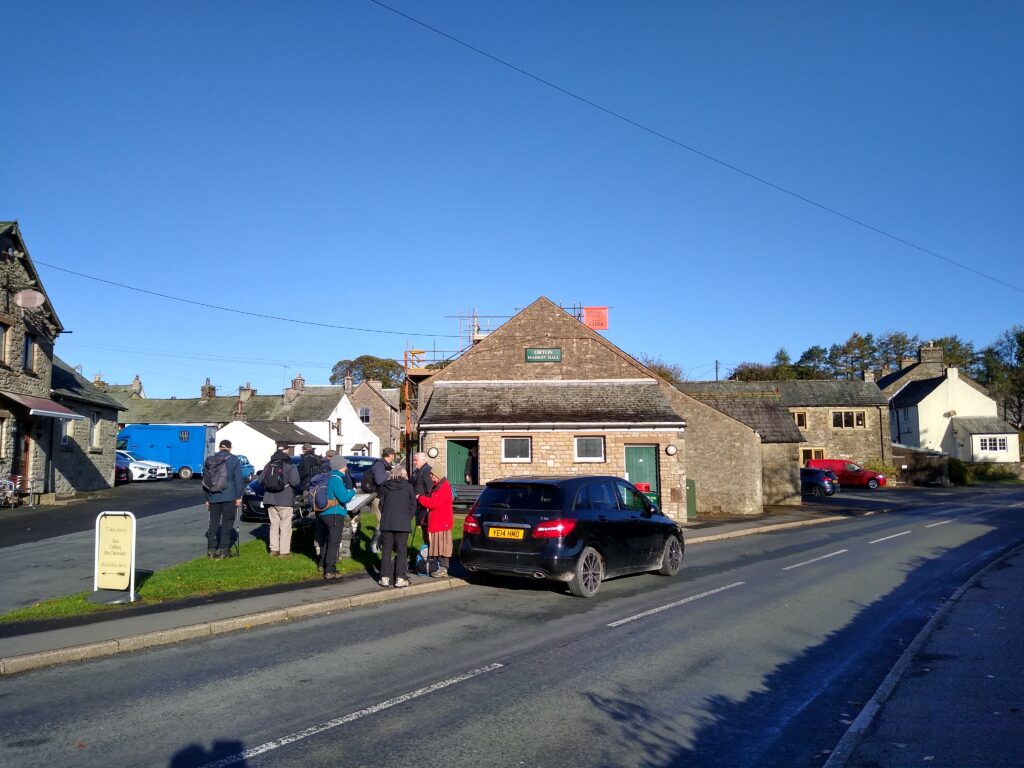
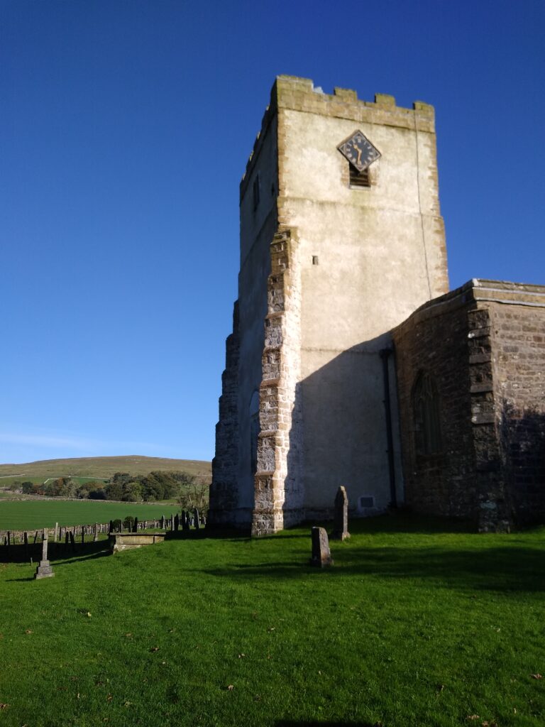
Start at the chocolate shop in the centre of the village, and look left and slightly uphill where we see All Saints church and it’s characteristic lime rendered tower. The tower dates from the 16th century – although the church itself dates back to the 12th century, and the lime render is very recent. Walk up to the church and into the grounds, perhaps a taking the opportunity to explore this interesting and ancient site before heading downhill toward the Appleby Road.
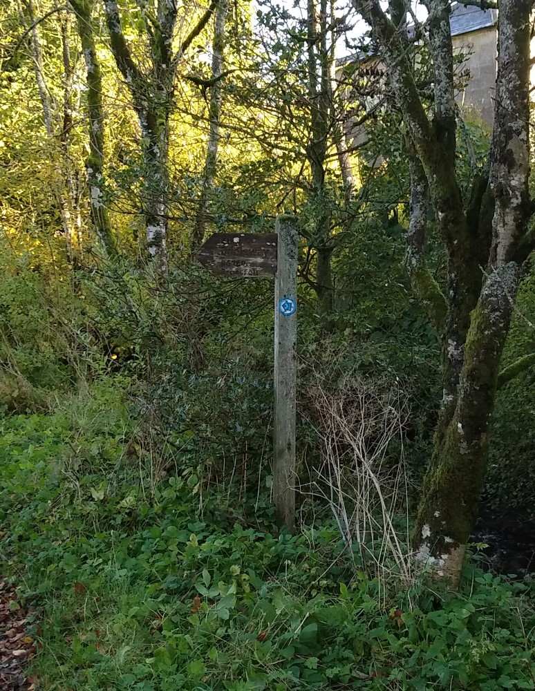
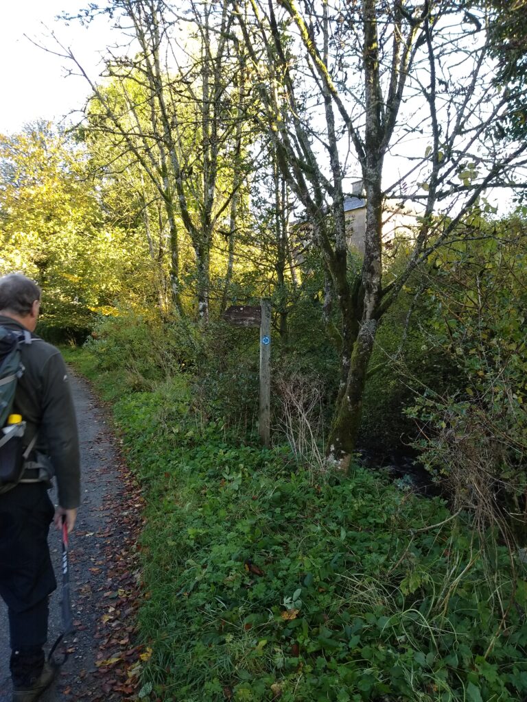
Cross the Appleby Road and continue on the side road opposite for just 100m before turning left onto a somewhat smaller track – just before the road turns sharp right. We are now walking up the left bank of the beck, and it is not unusual to see red squirrels in the trees here. Continue up the track with houses on your left, and keep an eye open for the footpath sign. This is on the right – at the beckside – although the path we are looking for leaves the track on the left between houses.
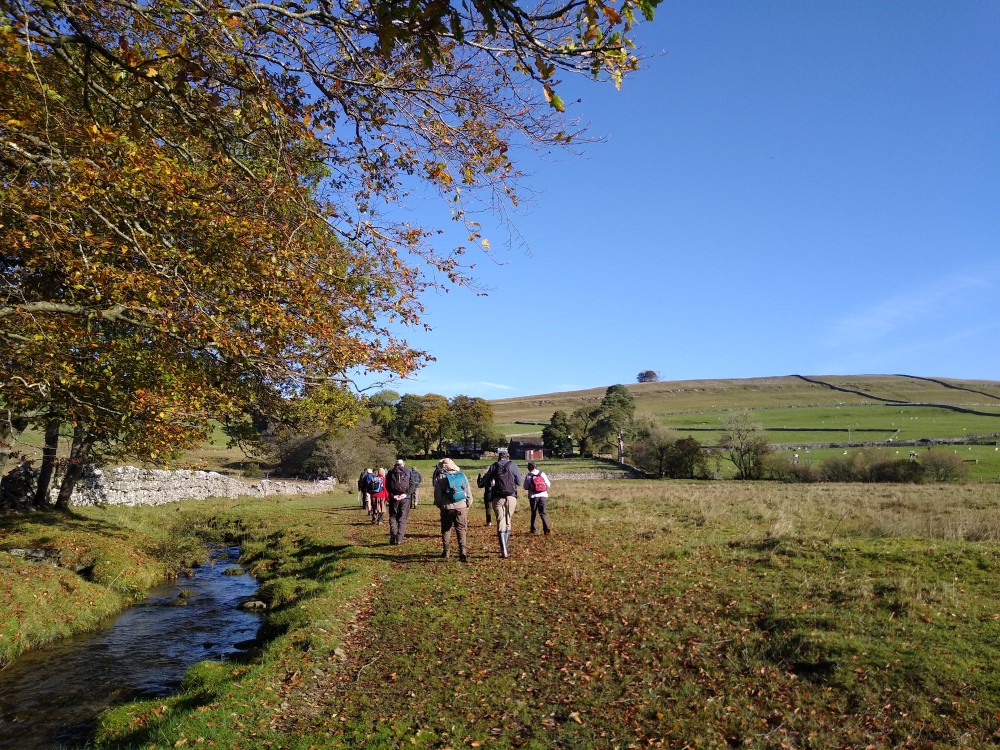
Having identified the path correctly, follow it round and leave the village heading uphill with Orton Scar ahead of you. The path is clear and well marked.
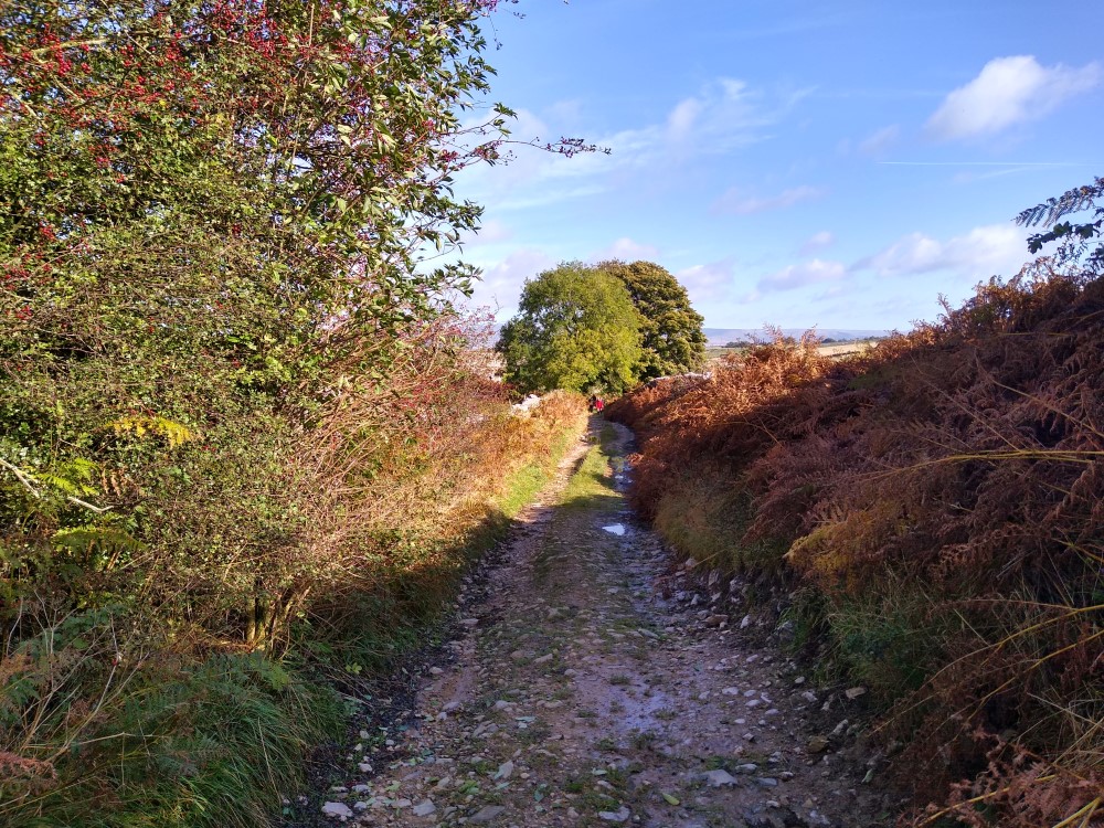
The footpath here is well used and initially follows the beck, first on your right, and then having crossed a small farm bridge, on your left.
Take care to keep to the path here – particularly at the lower levels, because the site is an SSSI hosting a number of protected species.
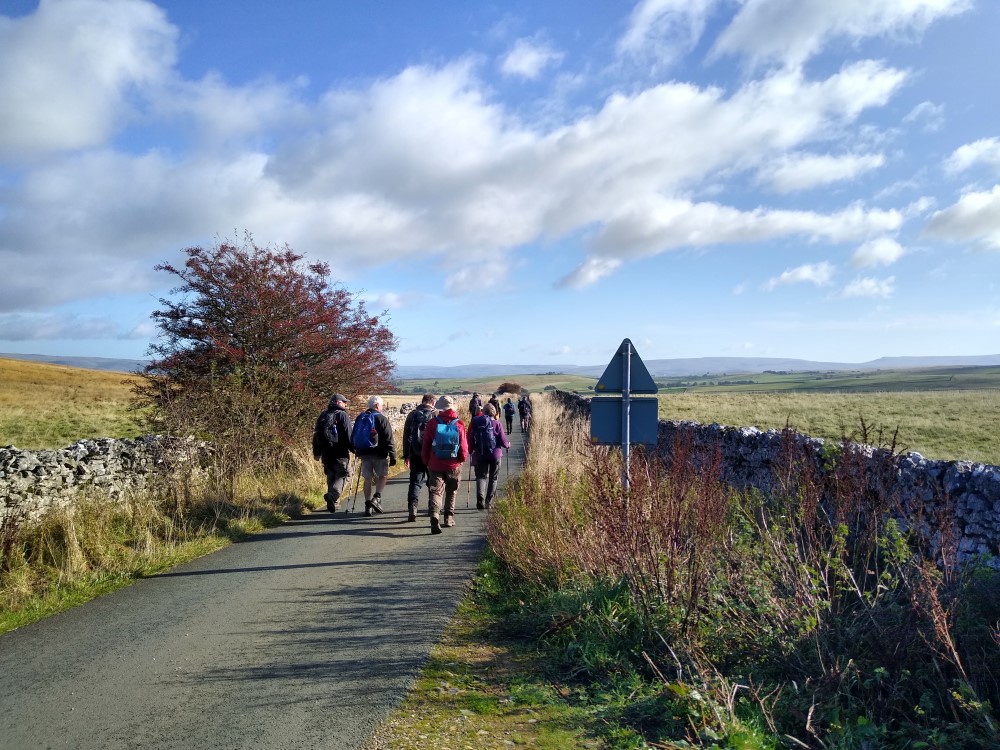
The path now heads uphill toward Broadfell Farm, where we pass between the farm buildings on the waymarked path which continues uphill keeping the drystone wall on your left.
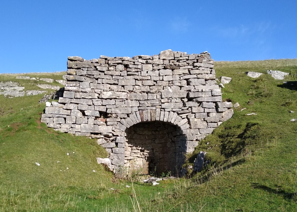
At the top end of this slightly wet field we see a fingerpost where another path joins from our right. This is the Cast to Coast Way – Ignore this – we carry on uphill through the gate and skirt the woodland to see a wider, well walked path, heading up to the lime kilns ahead. It is worth taking a look back at this stage – the views to the Howgills behind you can be spectacular in clear weather.
From the well preserved lime kiln, the path continues slightly to the left and up to a gate. Pass through this and up to the road ahead. This is the B6260 – it can be quite busy, but we only follow it for a few metres.
Turn right along the road – but notice a disused quarry opposite – this has ample parking and can be a useful starting point for walks in this area.
Cross the cattle grid – walking very slightly uphill, and notice that the footpath path leaves the road almost immediately on the right to track uphill keeping a drystone wall on your right. We are now on Access Land rather than a defined public footpath. The climb is quite steep here and when the limestone is wet, care is certainly needed. We are now heading toward the Beacon memorial, although it cannot be seen until we reach the crest.
The beacon was erected by the villagers of Orton and Crosby Ravensworth to celebrate 50 years rule by Queen Victoria, and this elevated site offers good all round views:
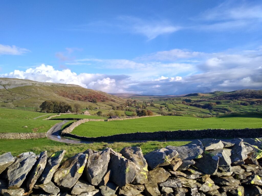
In clear days we see the Shap Fells to the east, Murton Fell to the north, Crosby Garret fell and Great Asby Scar to the west, and the Howgills to the south.
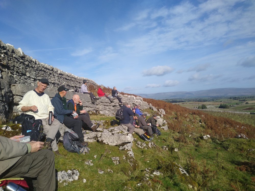
When the weather is good, this makes it an excellent site for a coffee break – most of the steep uphill walking is now done. In the more typical horizontal rain, you may prefer to press on.
We head back toward the drystone wall to continue, and again keep it on our right hand side as we walk along the fairly flat summit , initially to the east, and then veering NE. We track this wall for a couple of km.
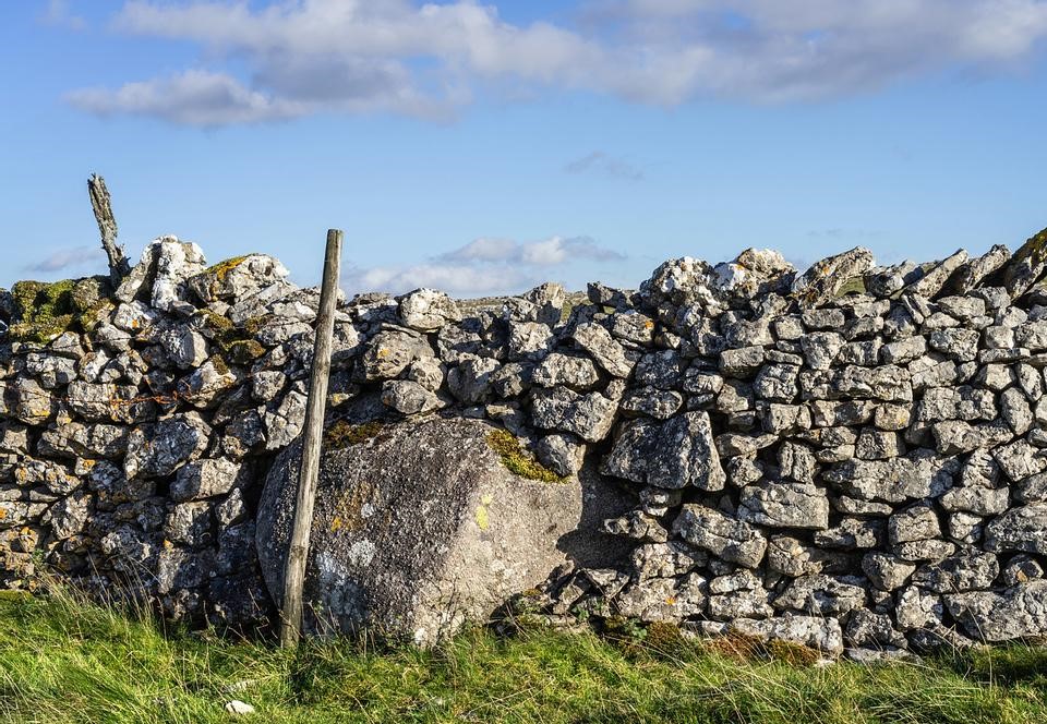
One of the geographical features of this limestone pavement is the presence of boulders of pink granite deposited as the glaciers melted. One such boulder is marked as “Thunder Stone” on the OS map and can be seen forming a substantial anchor point in the drystone wall.
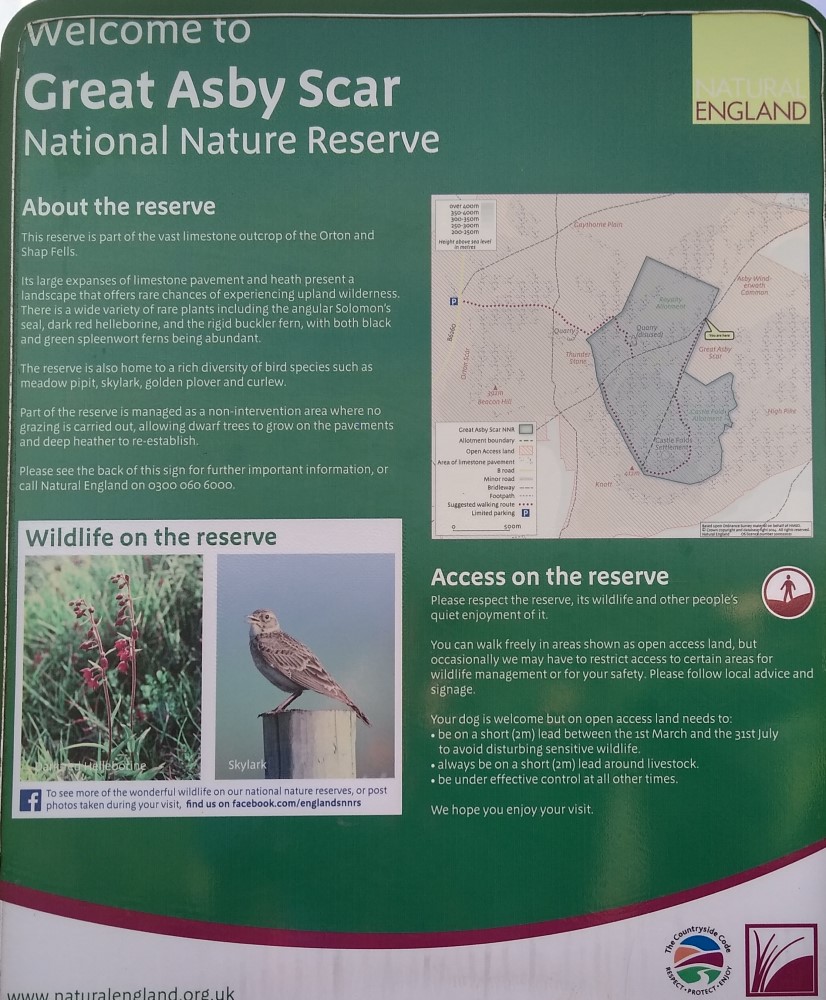
All of the land to our right, beyond the drystone wall, is part of the Great Asby Scar nature reserve. This is an interesting area, but being based on a limestone pavement, walking is not always easy, so we defer entering for now.
There are a number of paths crossing ours, some going through the drystone wall. Ignore all of these – our route tracks the drystone wall all the way to a small tarmac road. It is worth noting these other routes though – perhaps coming back to explore another time – some of them can be used to make amended versions of this walk which are shorter or which explore the limestone pavement in more detail.
At the tarmac road, we turn right crossing either the cattle grid or the associated gate and walk down hill and to the east. The road soon becomes steeper, and the direction ESE before we arrive at a turn to the left where the road continues toward the village of Great Asby.
We now head sharp right up a bridleway between two drystone walls – at this point we are still skirting the nature reserve.
The track becomes increasingly steep – although never difficult – and after 1 km we arrive at a gate.
Once we pass this point we have no wall on the right, just the limestone scar, and ahead we see a second gate, which we also pass through entering a more open area.
At this point the path ahead forks, and we take the right hand side heading up to a small gate through a drystone wall into the nature reserve.
Once past the gate, the path is clear but narrow and heads uphill gently. We keep with this path, passing through higher flatter ground where we see other paths within the nature reserve merging with ours. We press on until we come to a gate at the far end of the reserve where we head out onto the open fields.
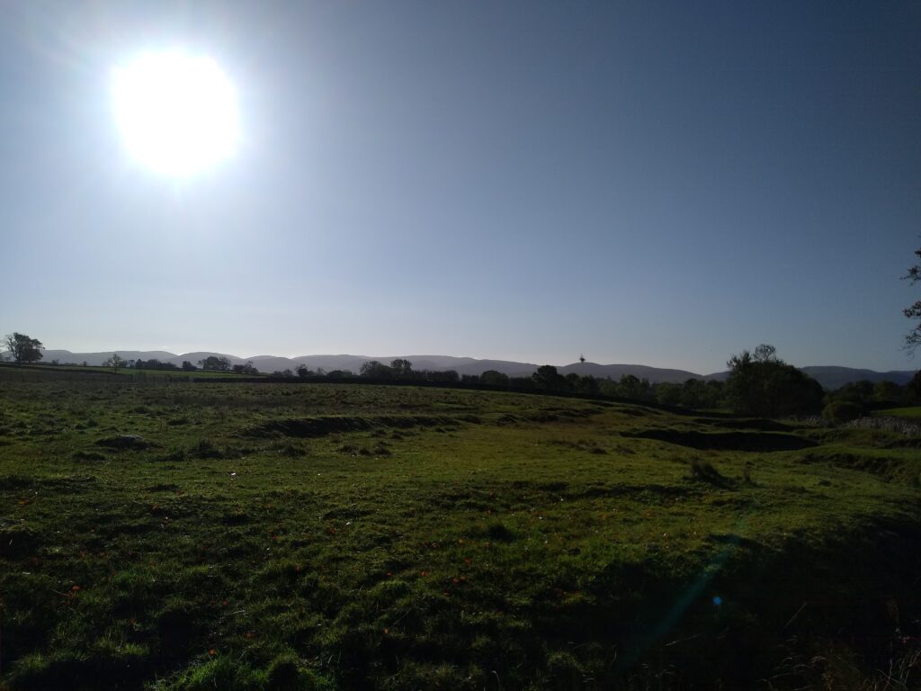
We are now walking in the base of a small valley between ridges on each side, and we continue along here until we see a finger post. Rather helpfully this indicates “footpath” in all four directions, but ours is left and downhill through the gate. We are now heading downhill again along a broad open path which remains clear. If the weather is kind we enjoy views over the Howgills and over to Orton village.
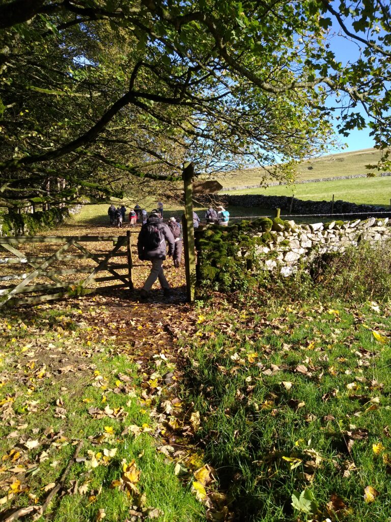
We stay on this path for a good while now, passing a reservoir built into the hill on the left before arriving at a gate at the junction of the drystone walls. We pass through this gate noting a well preserved lime kiln on our left.
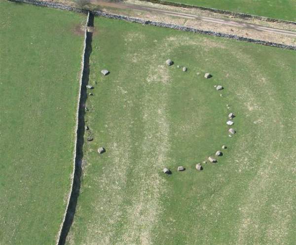
We are now on a wide green lane, which we follow until we see the stone circle and it’s access gate on our left. Take a few minutes to explore this ancient monument which is thought to date back to he period between 1800-1400 BC.
Although partially destroyed it is still recognisable. The circle is actually oval shaped, 44.5 by 37.5 metres and built on a low bank. It is in an attractive and peaceful setting.
It is thought that it once boasted 40 stones but farming over centuries has either damaged or reduced them, such that there are now only 33 stones visible. Archeologists class the monument as a flattened and embanked stone circle. The stones, which are mostly made of Shap Granite, stand no more than 1 metre above ground.
Leaving the stone circle behind we turn right, back toward Great Asby Scar, but almost immediately cross the drystone wall on the left via a stile to head to the diagonally opposite corner of the field, where we exit onto the road. At this point we turn right and follow this very quite road for perhaps 200m before re-entering the fields via a stile on the right.
We cross the field diagonally (following the direction indicated by the fingerpost) to cross another stile opposite. This takes us into another field where we avoid the temptation to take the stile into the enclosure – instead we skirt around it to see our exit stile straight ahead.
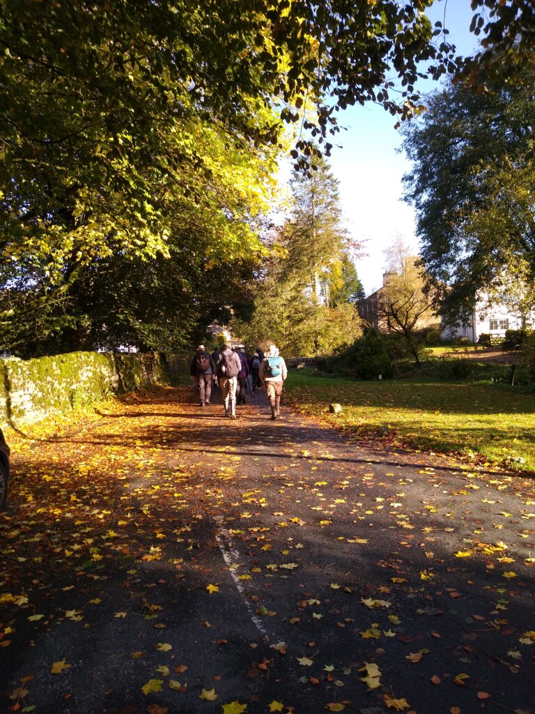
We cross a small paddock before we hop over another stile onto a tarmac road called Street Lane. We are almost back now. At Street Lane we turn right and almost immediately cross the stile on the left into a field which slopes down to a beck with a small concrete bridge. We cross this and head uphill keeping the drystone wall on our right. A gate in the field corner next to a cottage leads into a narrow path between gardens before we emerge onto one of the residential roads in Orton.
Opposite us is a path which crosses the beck and skirts the football pitch before arriving back in the village centre. Our walk is complete.