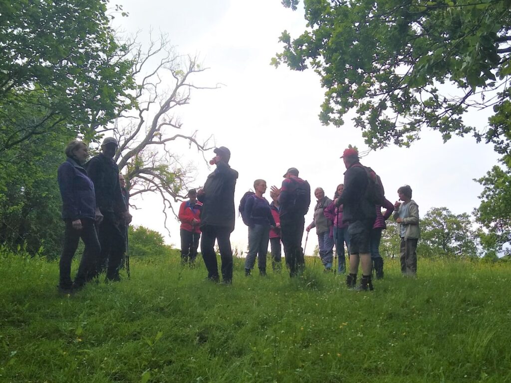
As a group, we try and present a few evening walks during the summer months. These allow us to welcome walkers who may be busy with work during the day, or otherwise engaged at the weekend.
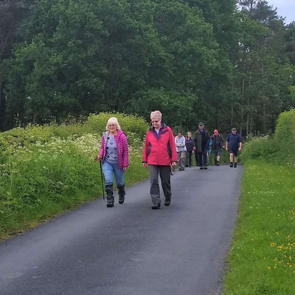
Evening walks are shorter, more local and typically easier, but they are just as good as any other BFG walk – as this walk from Low Bentham clearly demonstrates.
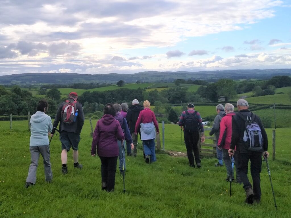
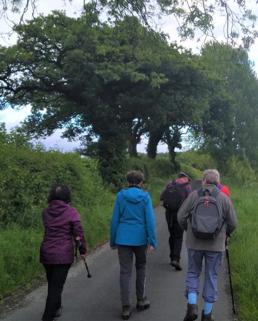
We start from the free car park at Harley Bank and then cross the Wenning to walk up Mill lane as far as Clouds Bank. We then take a path over fields to pick up Eskew Lane at the Punch Bowl, and cross the river again to take the “fairy steps” to West End Farm.
From there we take a lane and then a footpath to Goodenburgh Holiday Park, where we cross Ravens Close Brow and take the footpath over to Gill Farm. Here we turn right on Back Lane. This brings us back to Ravens Close Brow at the Solar Farm where we cross the fields to arrive back at Low Bentham at Green Head Farm. We end the walk with a pleasant stroll through the village.
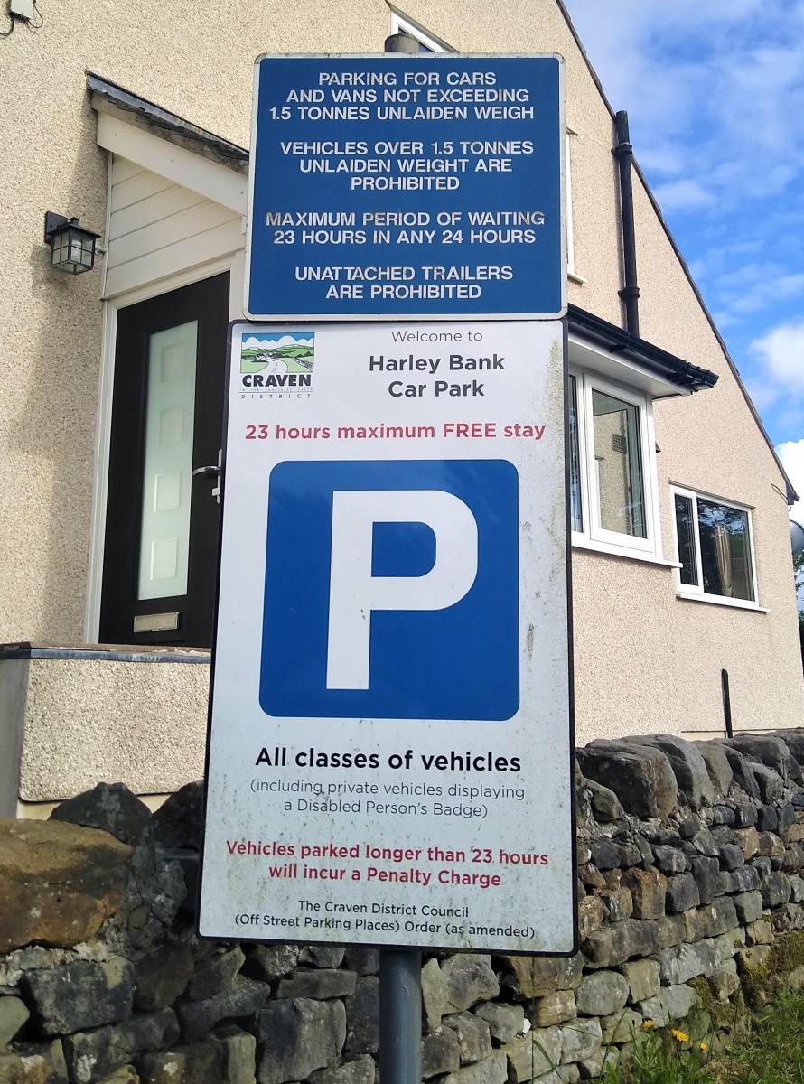
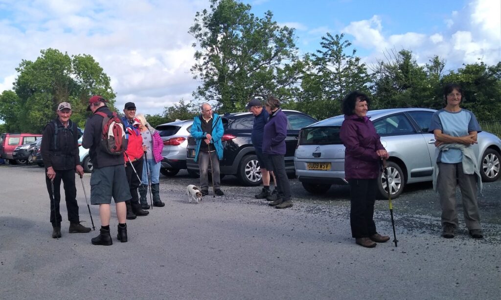
We start in Low Bentham at the free public car park at Harley Bank.
Sat Nav users will find that postcode LA2 7BX gets then to the right part of Main Street, whilst the What-3-Words tag boils.partly.shorts or grid reference SD65056935 adds some precision.
There is obviously scope to walk down from High Bentham to pick up the start via the riverside path if a longer walk is preferred.
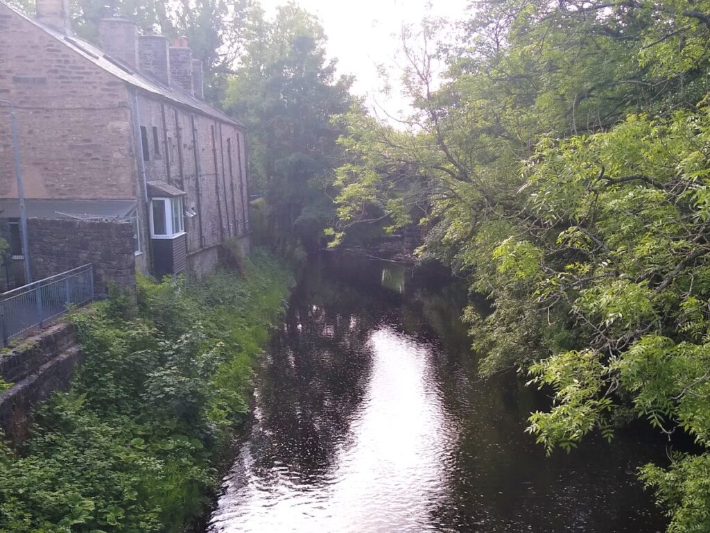
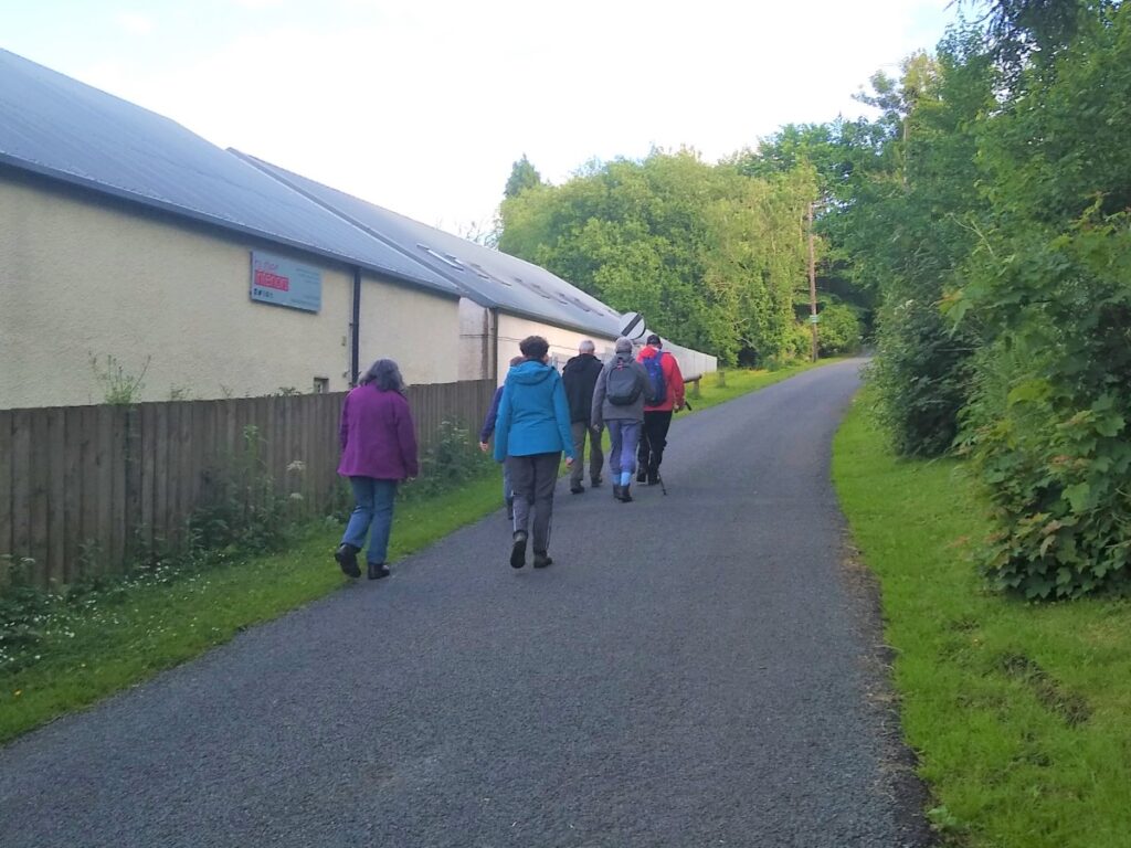
From the car park we turn left and walk downhill past the Victoria Institute and take the path on the left opposite the Sundial. This takes us under the railway where we see what is now the entrance to the fish farm.
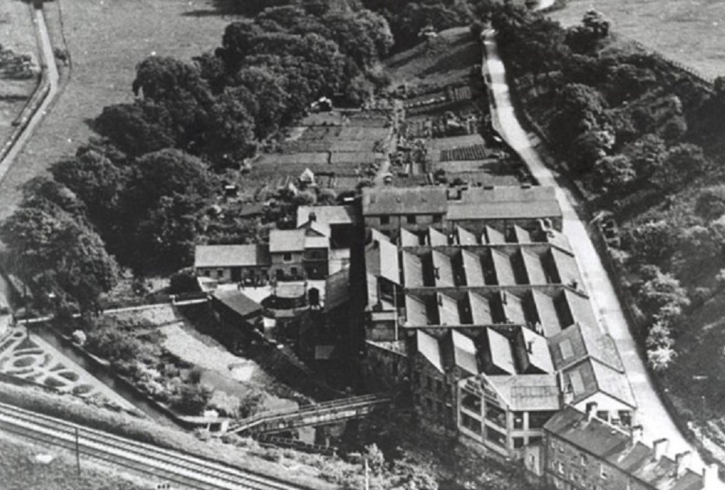
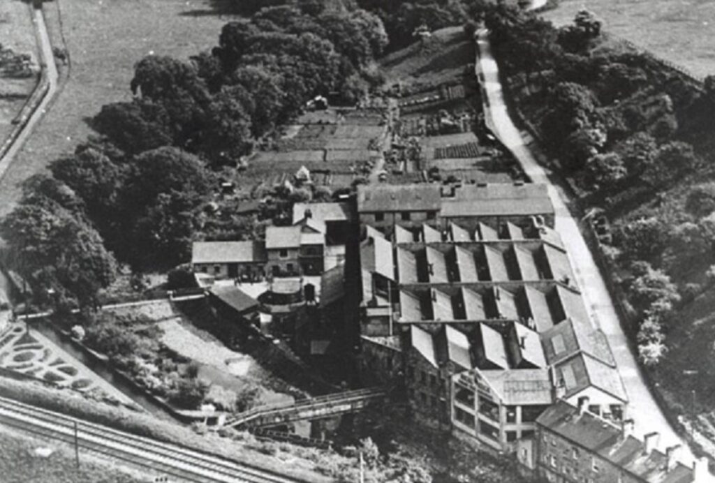
Just visible in the land to the left of the path before the bridge is the remains of the mill race which once ran alongside landscaped gardens associated with the Ford Ayrton Mill that stood on the far bank of the Wenning where the modern housing is. This archive picture shows the layout:
For lots more interesting background on the Mills (and much more) in Bentham, click here.
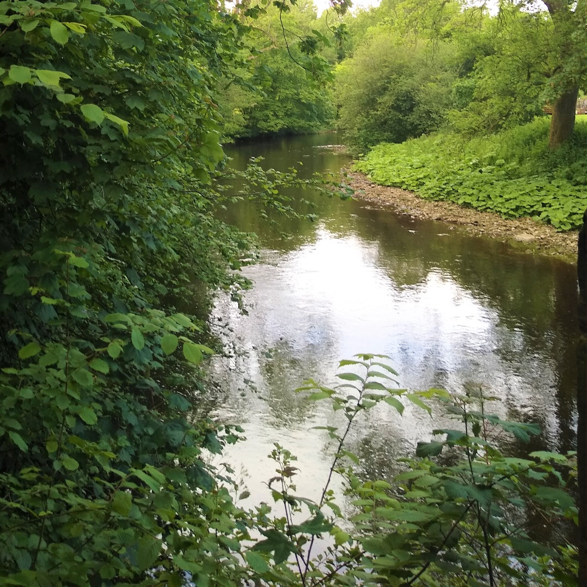
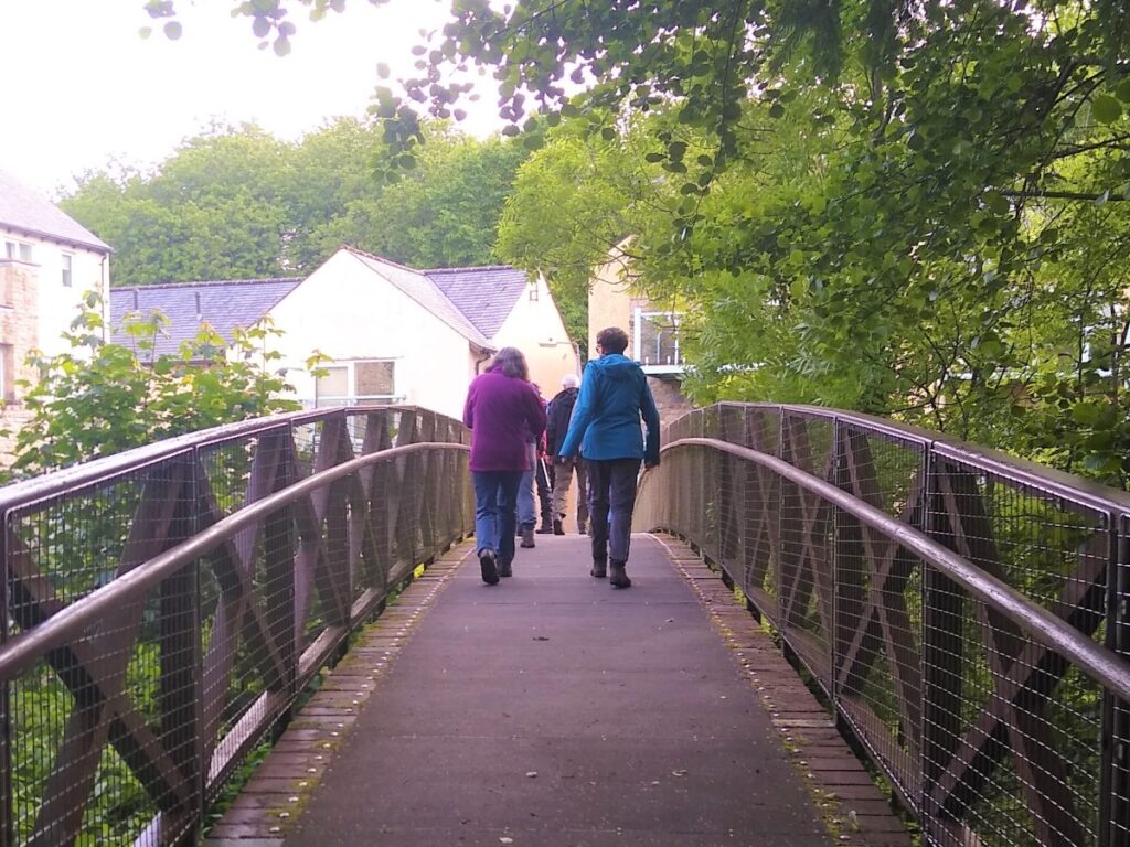
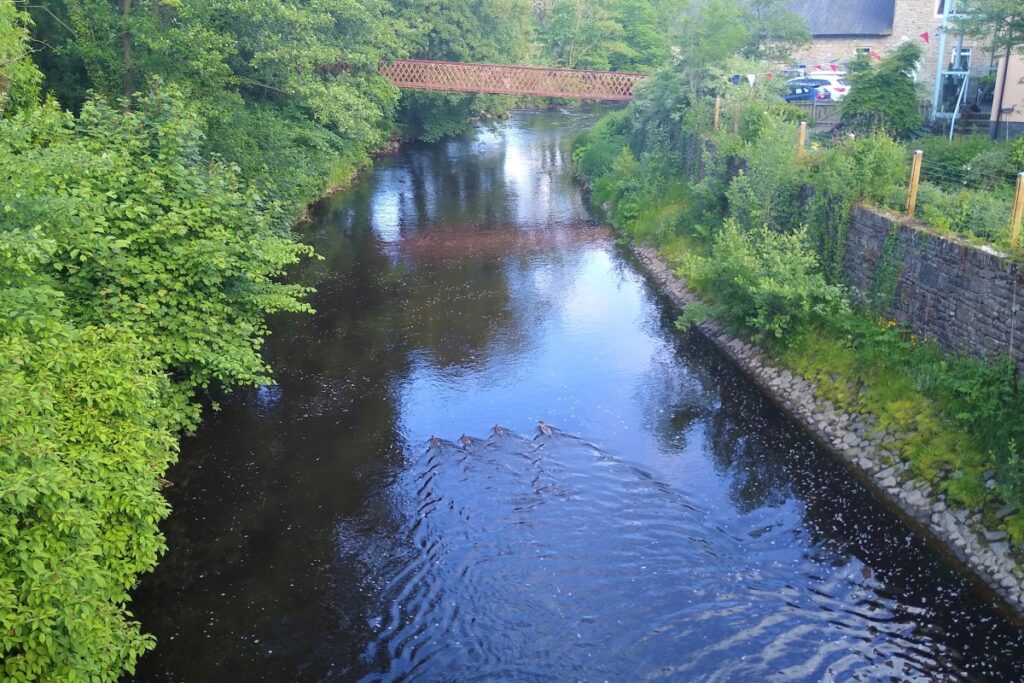
We take the path to the right which brings us to the footbridge over the river Wenning.
At the far end of the bridge, we take the steps down on the left and walk between the buildings at Low Mills to emerge onto Mill Lane. We walk left and uphill at the Lane passing the industrial units on our left.
Very soon we see a sign for a public footpath on the right at Clouds Bank, and from here we walk across a couple of fields on a clear path to pick up Eskew Lane at the bottom corner of a field.
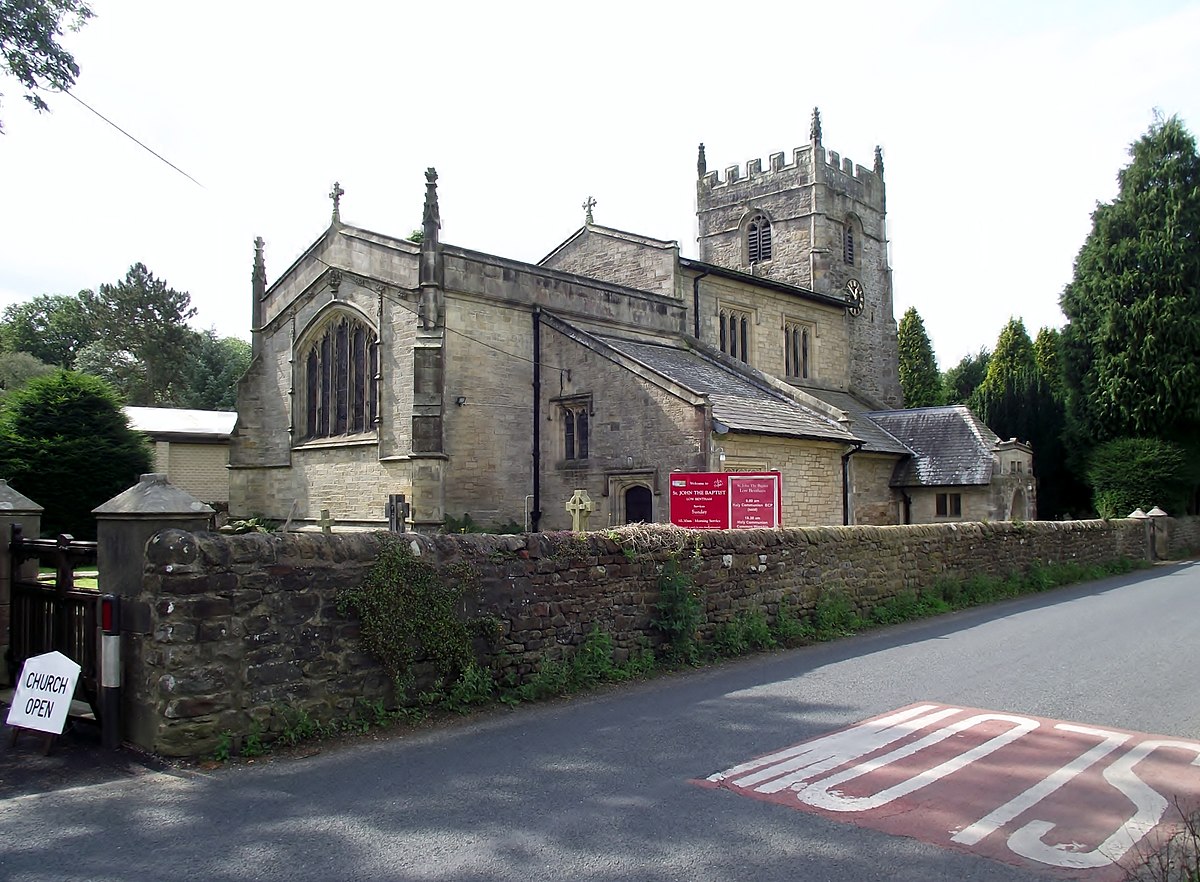
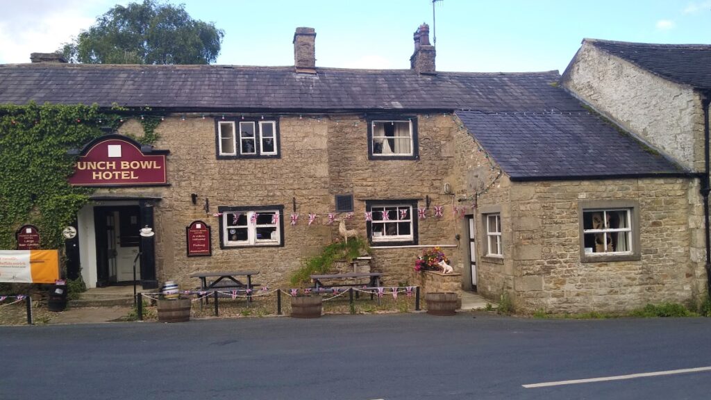
At Eskew lane we take a right turn and walk down to the junction with the B6480 at the Punch Bowl. At this stage the river Wenning is on our left again, with Cedar House School and the Church of St John the Baptist on the curve of the river further to our left.
Cedar House School is a well-regarded co-educational, independent specialist day and residential school, providing high quality education and care for boys and girls. The school meets the needs of a diverse group of pupils exhibiting Social, Emotional and Mental Health (SEMH) needs, alongside a range of other associated conditions.
St John’s is the Anglican parish church for both High and Low Bentham and has recently undergone extensive renovation works.
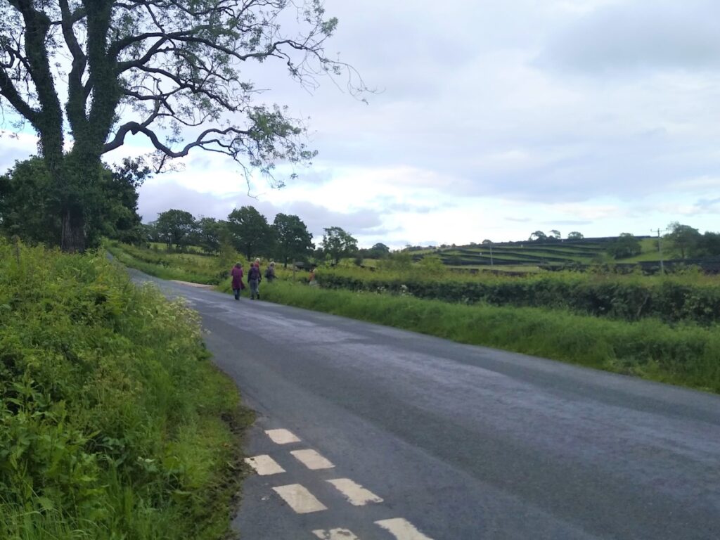
We cross the river at the road bridge, taking care as there is no pavement here, and look out for the footpath on the right hand side of the road immediately after the bridge.
We take the narrow path along the edge of the Wenning following it upstream for a short while, before passing under the railway bridge (formally known as the punch bowl viaduct) to find the steps known locally as the “Fairy Steps”. These lead up through a dense patch of wild garlic to a stile where we enter fields again.
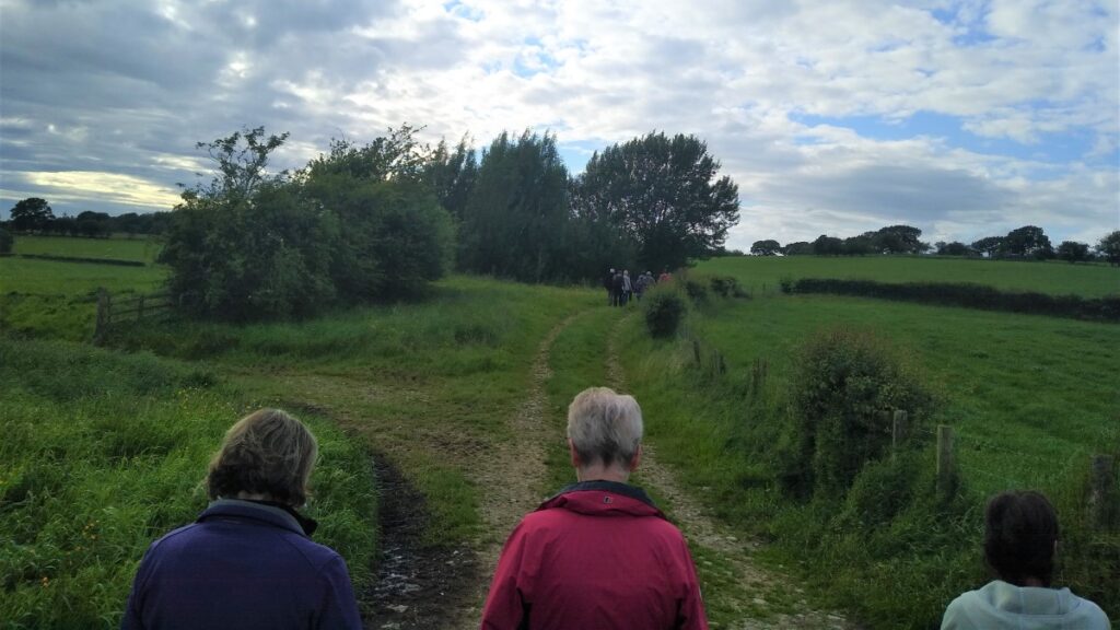
From here the path is well marked, and heads Northeast to a gate and a rough lane. We go through the gate and immediately turn left to take a smaller path down the side of the farm buildings at West End Farm until we arrive at a small but well surfaced track.
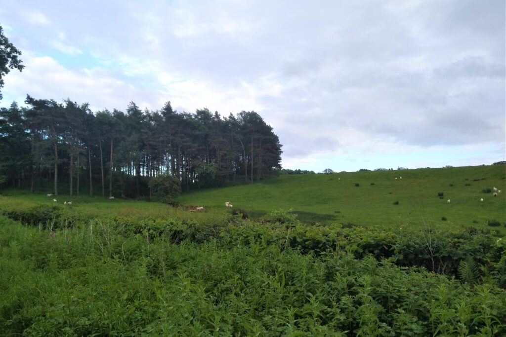
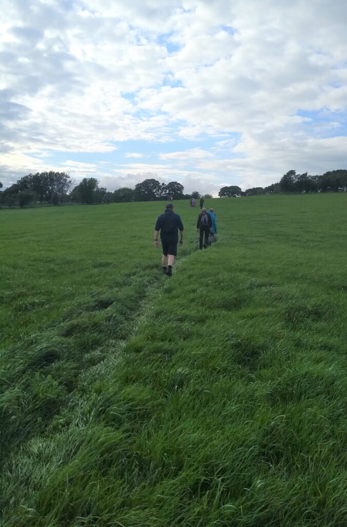
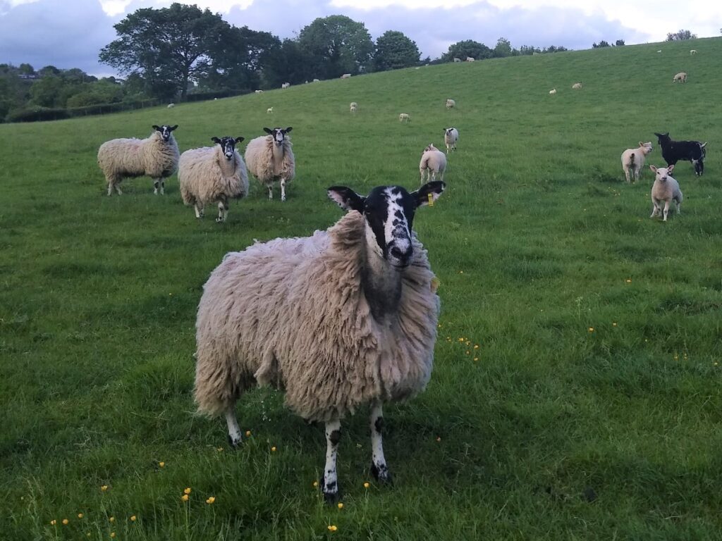
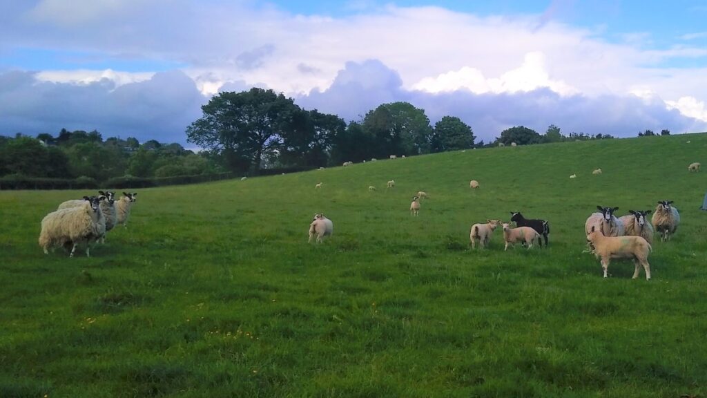
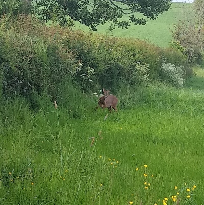
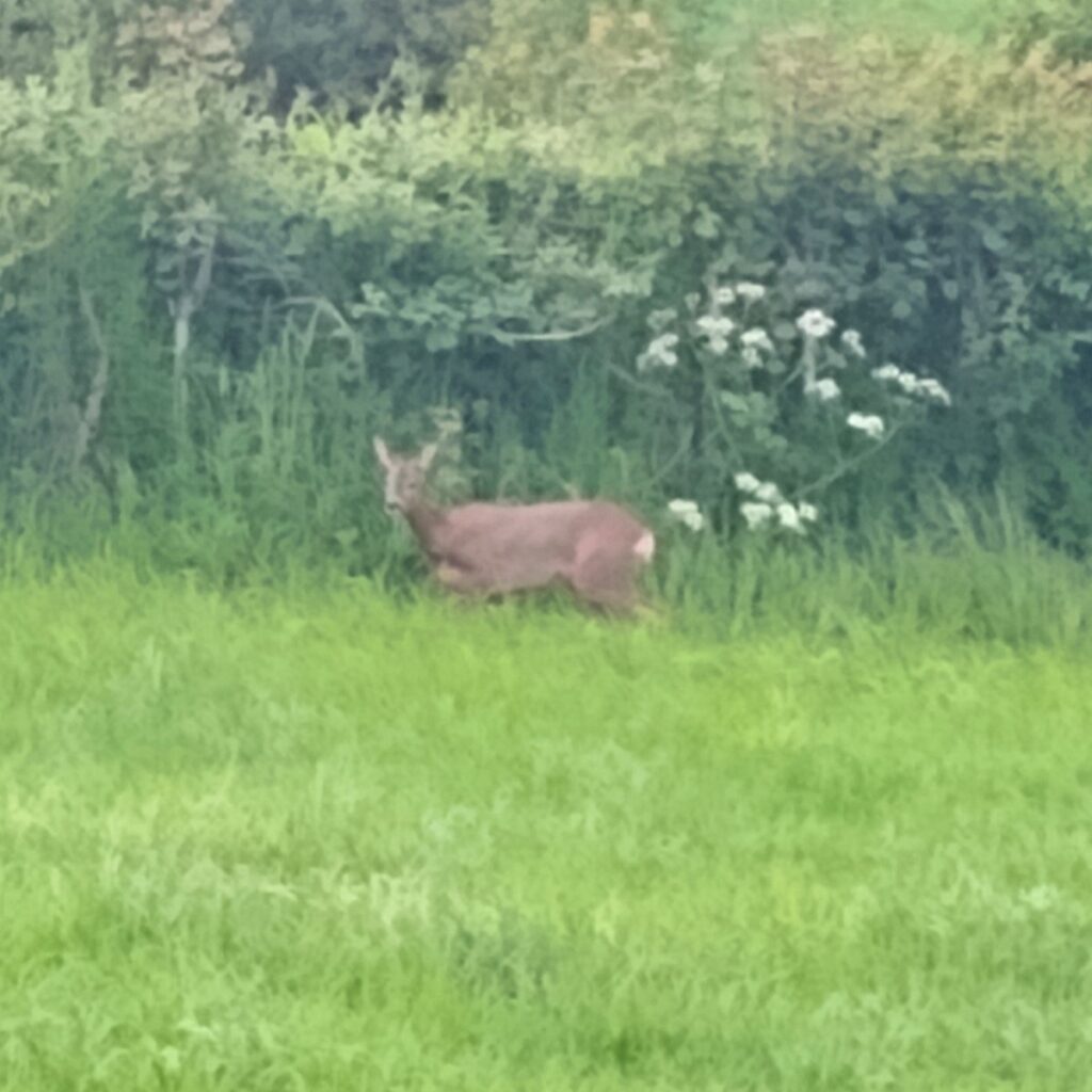
Here we turn left, and follow the lane until it becomes a footpath, heading diagonally across pasture with Goodenbergh farm ahead of us. On the day of the group walk we were lucky enough to see a roe deer in these fields – so keep your eyes peeled.
Our most common native deer, the roe deer (Capreolus capreolus) is quite abundant locally. They tend to be solitary in summer, but forms small, loose groups in winter. The males have relatively short antlers, typically with three points. They begin to grow their antlers in November, shedding the velvet from them in the spring. By summer, they are ready for the rutting season. After mating, they shed their antlers in October and begin to grow a new set.
The deer we saw is believed to be a female with (not in shot) a fawn to protect which may explain why she stood her round as we walked past.
Roe deer live in areas of mixed countryside that includes woodland, farmland, grassland and heathland. They eat buds and leaves from trees and shrubs, as well as ferns, grasses and heathers.
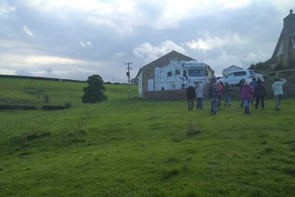
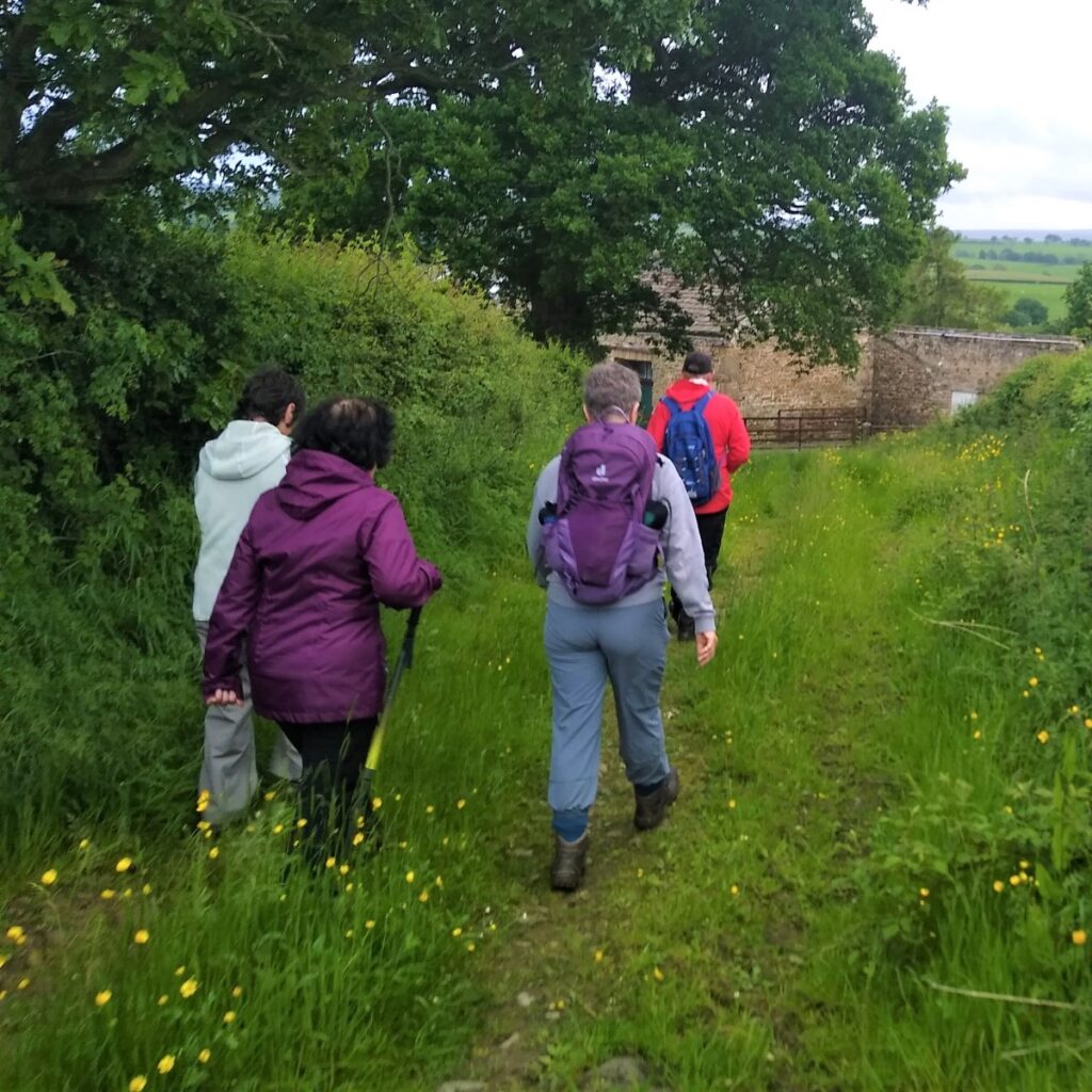
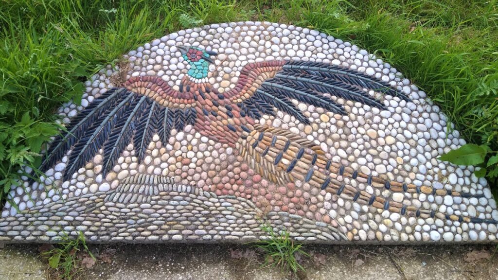
When we reach Goodenbergh farm, we cross the farm road and see the footpath continue ahead – via a gate adjacent to the rather fine pheasant mosaic. We climb a gentle slope, with woodland on our right, which for the most parts hides the caravans at Goodenburgh Holiday Park.
Note the different spellings of the farm and the park, and that both differ from Goodenber Road in Bentham.
To our left now is a small lake which attracts a good selection of water birds, and ahead is the road at Ravens Close Brow. We take the gate onto the road and turn left, again taking care as there is no pavement.
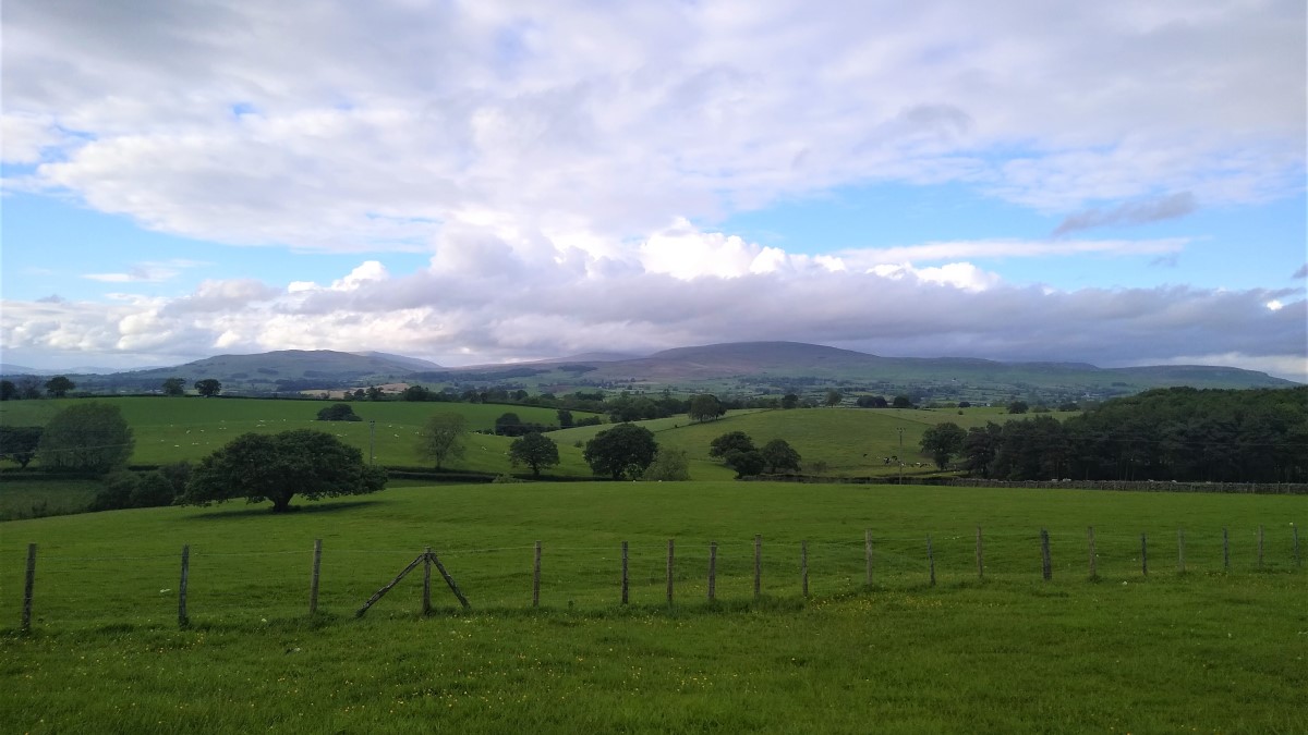
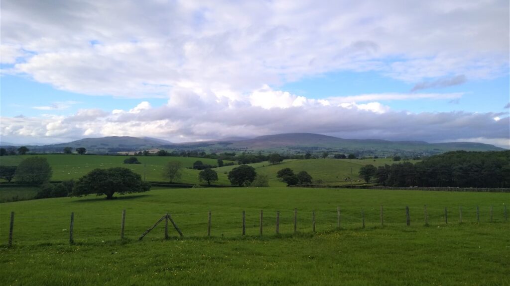
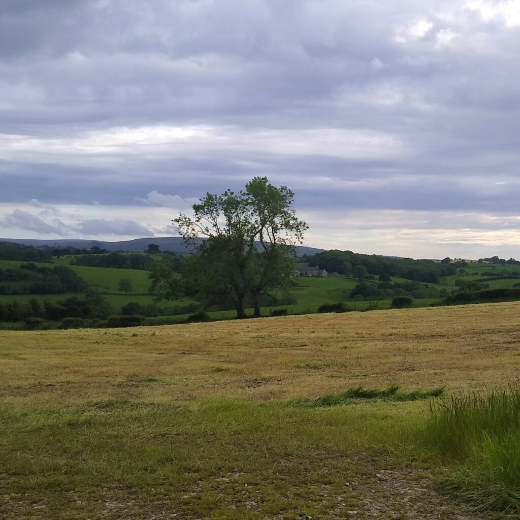
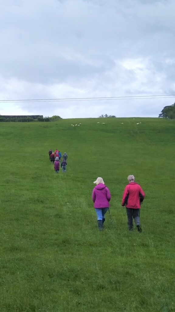
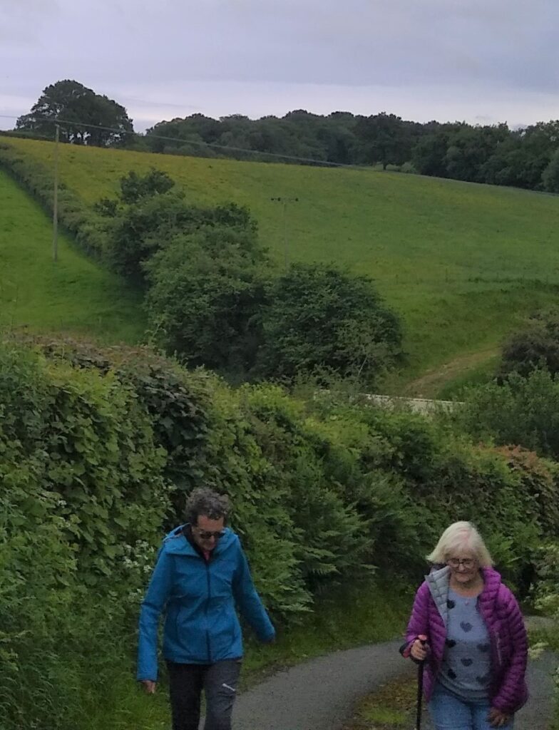
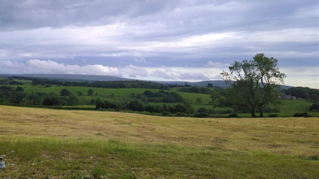
Almost immediately we see the sign for the public footpath continuing on the right hand side of the road, and we follow the clear path slightly to the left and up a gentle slope with views over toward Ingleborough and Leck Fell to the west before heading down toward a stile at Gill Farm.
We cross a slightly boggy meadow to take a gate on the left into the farmyard and then head sharp right and uphill to meet Back Lane. Here we turn right, heading East along a very quiet and very straight lane back to a Y-junction with Ravens Close Brow.
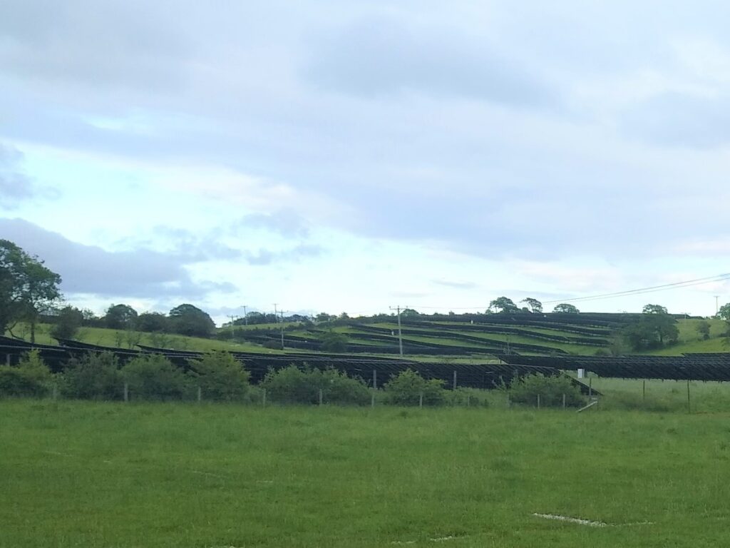
At the junction we turn left. Ahead of us to the right we immediately see the large array of solar panels. On the right hand side of the road is a gate accessing the footpath across the fields to the right of the solar array. The path is clear, and heads uphill, heading toward a gate in a fence at the far end of the array.
The Solar farm has the potential to generate more than 5MW of electrical power
Here we head slightly left toward the corner of the next field where we find a stile that leads onto a lane – on the day of the group walk this was dry, but under different weather conditions it can be somewhat wet and muddy so chose your path carefully.
We follow this lane back down to Low Bentham, where it emerges at Green Head Farm, where Greenfoot Lane and Cross Lane meet.
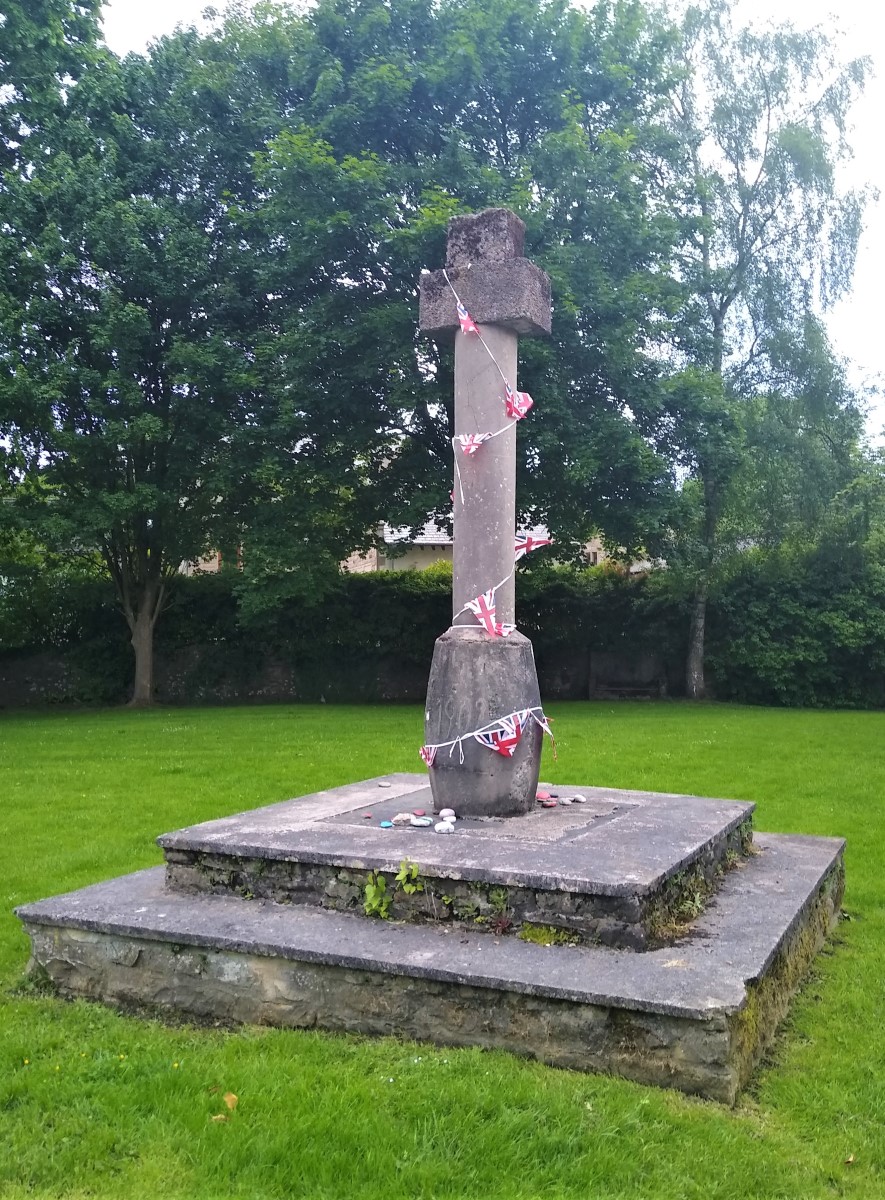
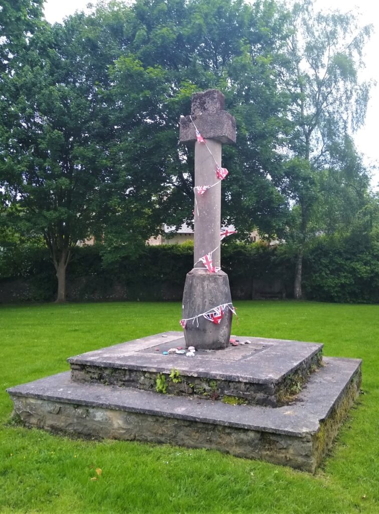
Here we turn right and follow Greenfoot Lane downhill to the Cross and then onto Burton Road.
The cross is a well-loved local landmark and was erected by the village in 1902 in celebration of the coronation of Edward VII.
To finish the walk, we continue downhill to the road junction at the Sundial, and then briefly left and uphill back to Harley Bank and the car park.