Langcliffe
to
Stainforth
29th December 2022

Jump to . . . Step by Step | OS Map | Downloads | Gallery | Fly through
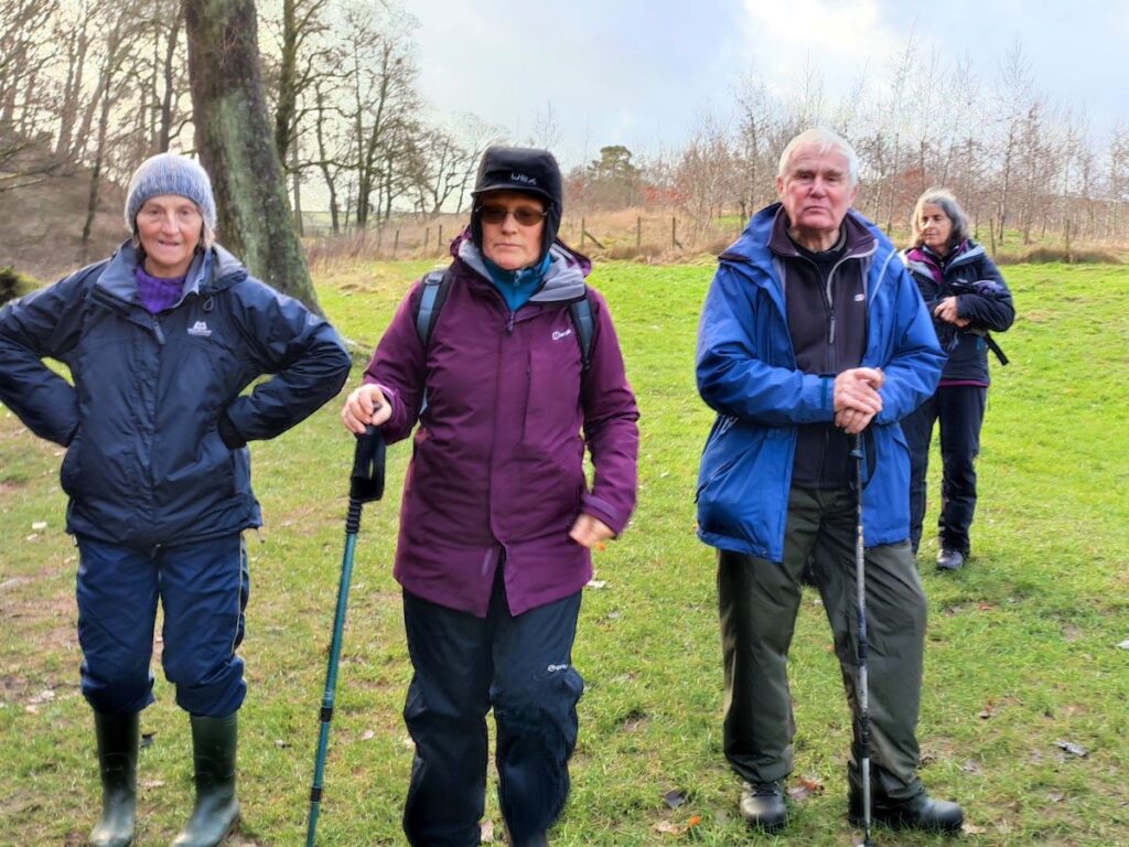
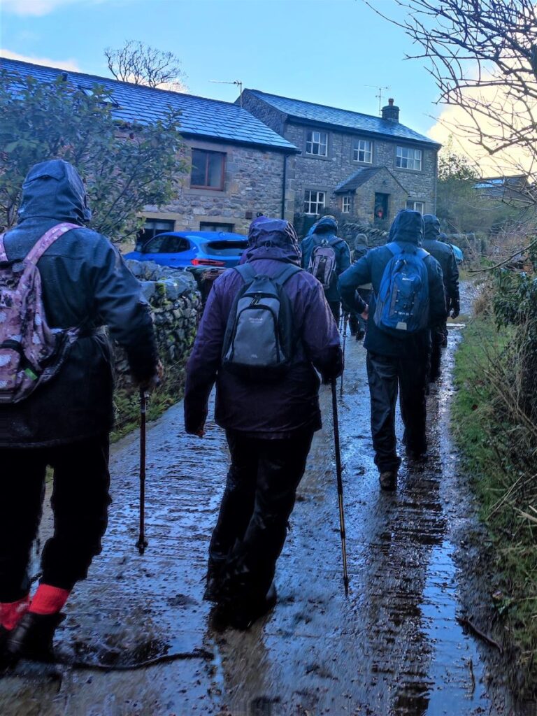
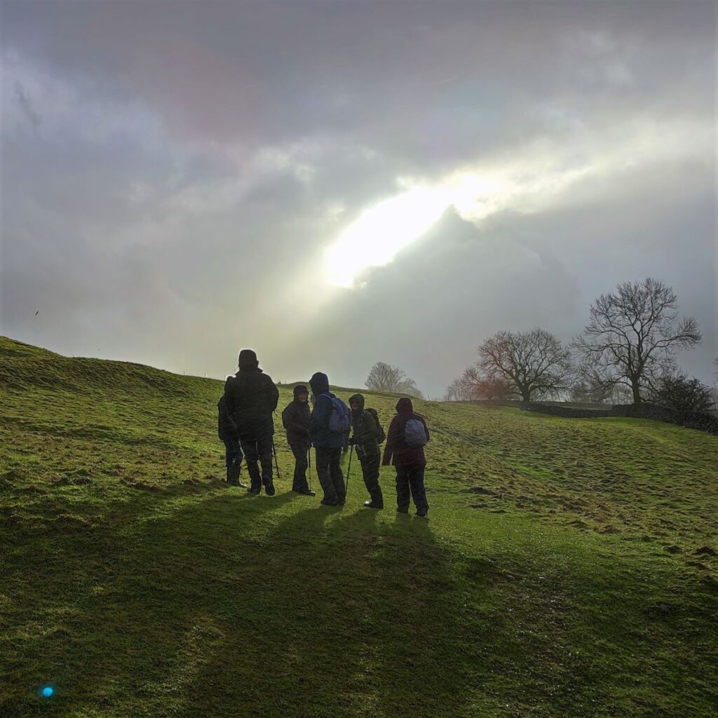
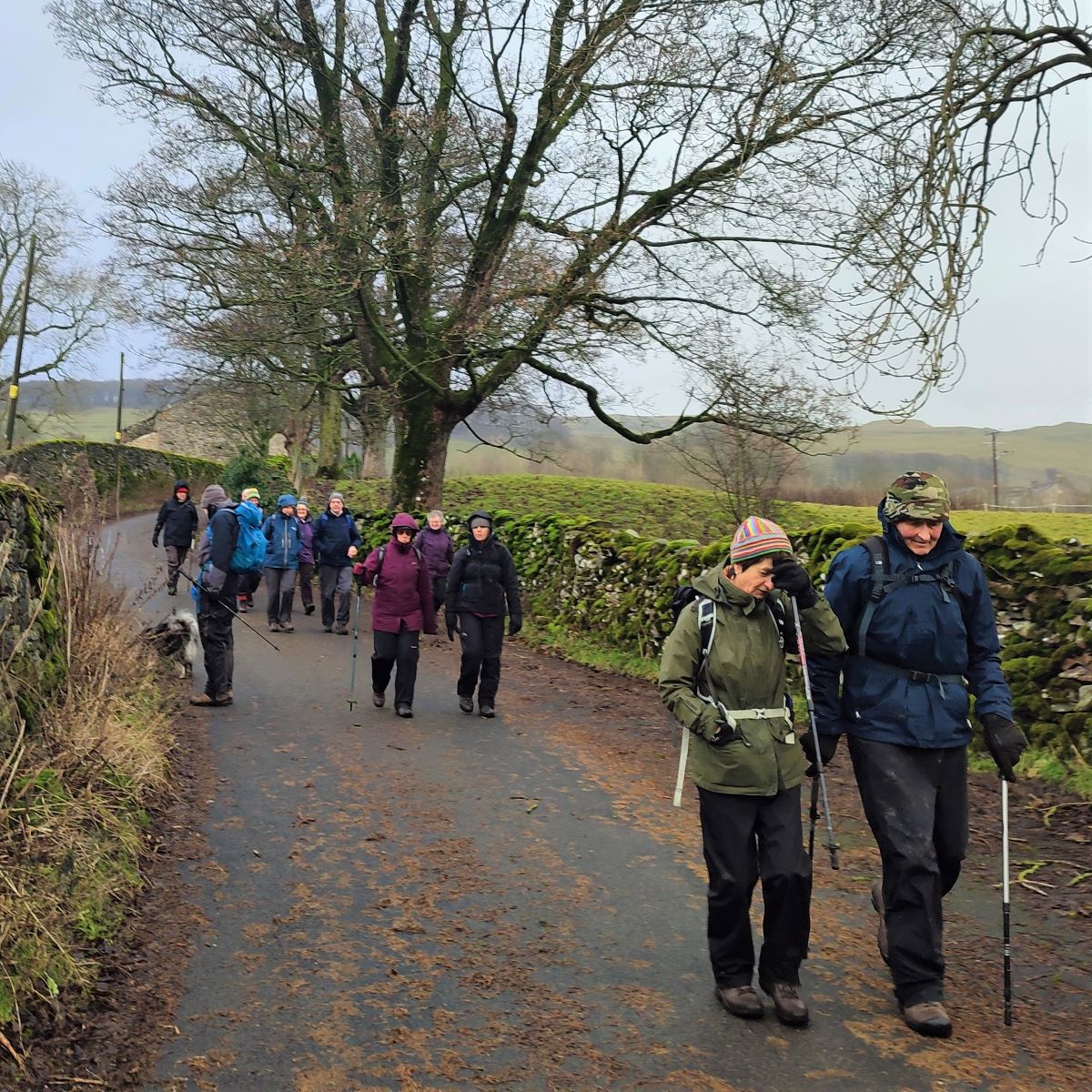
The Bentham Footpath Group has a tradition of making the walk between Christmas and New Year an easier and shorter walk than usual, so that we can combine it with a meal at a local venue. Our aim is to make the walk accessible to all our members and to ensure that we can be at our venue by lunchtime.
Does that mean the route needs to be dull? Absolutely not – as this walk shows. We start from Langcliffe and then take the path up the western side of the river Ribble as far as Stainforth Force and the historic pack horse bridge. From there we cross the river and take the bridleway into Stainforth village and then over fields to the fascinating Hoffmann Kilns at the old Craven Lime Works. Finally, another short section of field crossings brings us back to Langcliffe.
We went on to eat at Elaine’s Tea Rooms in Feizor – a Yorkshire Dales institution in its own right – which we recommend highly, but whether you dine out or not, this walk has lots to recommend it.
- Total distance 7.6km (4.7 miles)
- Total ascent 192m
- Easy walk
Step-by-Step

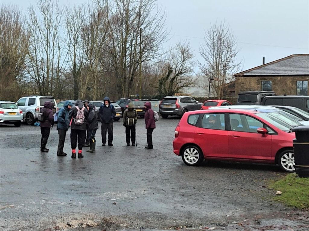
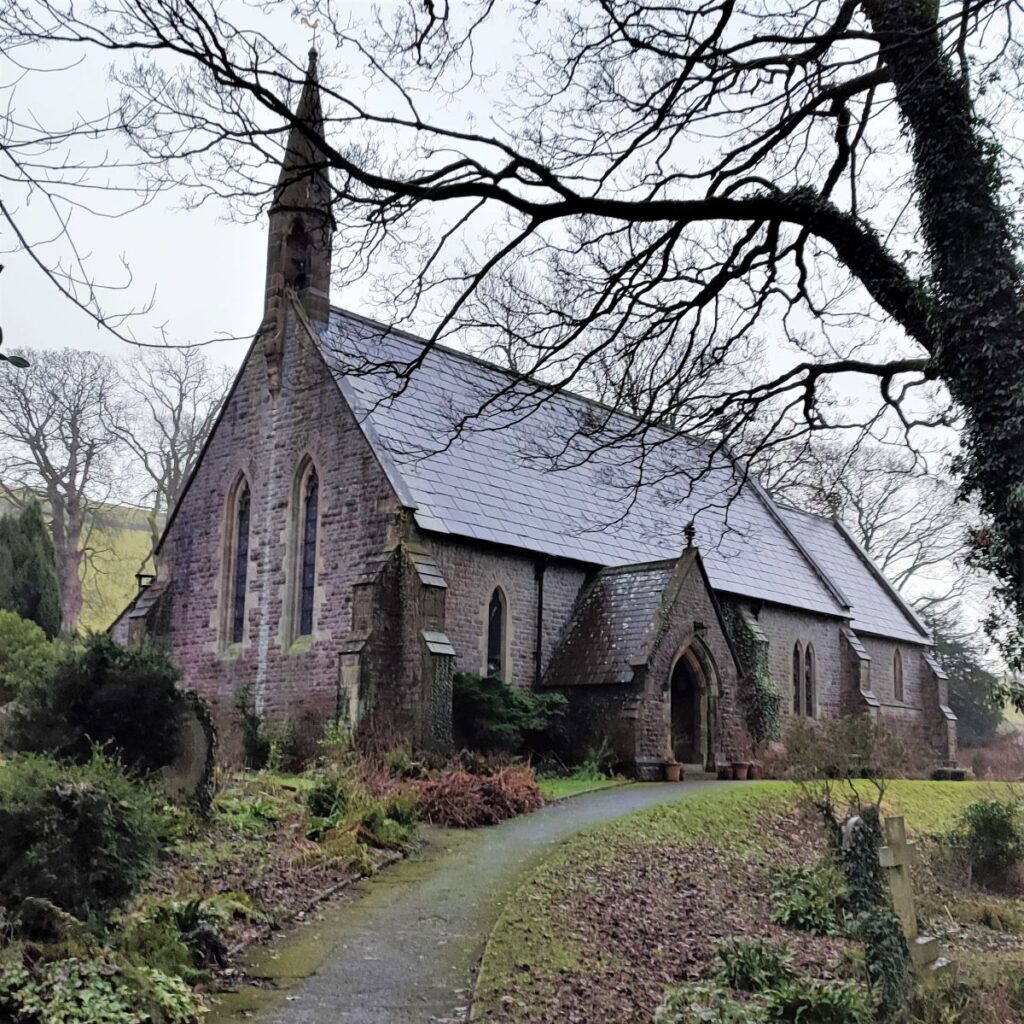
The walk starts in Langcliffe village. This is north of Settle on the B6479 Horton-in-Ribblesdale Road. There is only one turn into Langcliffe from the main road, and it’s well signposted, and once in the village there is ample parking opposite the church – with an honesty box for payment.
If you are using a paper map to get to the start, the grid reference is SD82286509. If you prefer satnav, then use the address / postcode for the church – St. John the Evangelist, Main St, Langcliffe, Settle BD24 9NF. If your preferred tool is What-3-Words, then the tag is shirt.plank.peach
Notice that there is honesty box to allow for donations for parking – please help support the village by giving a suitable payment.
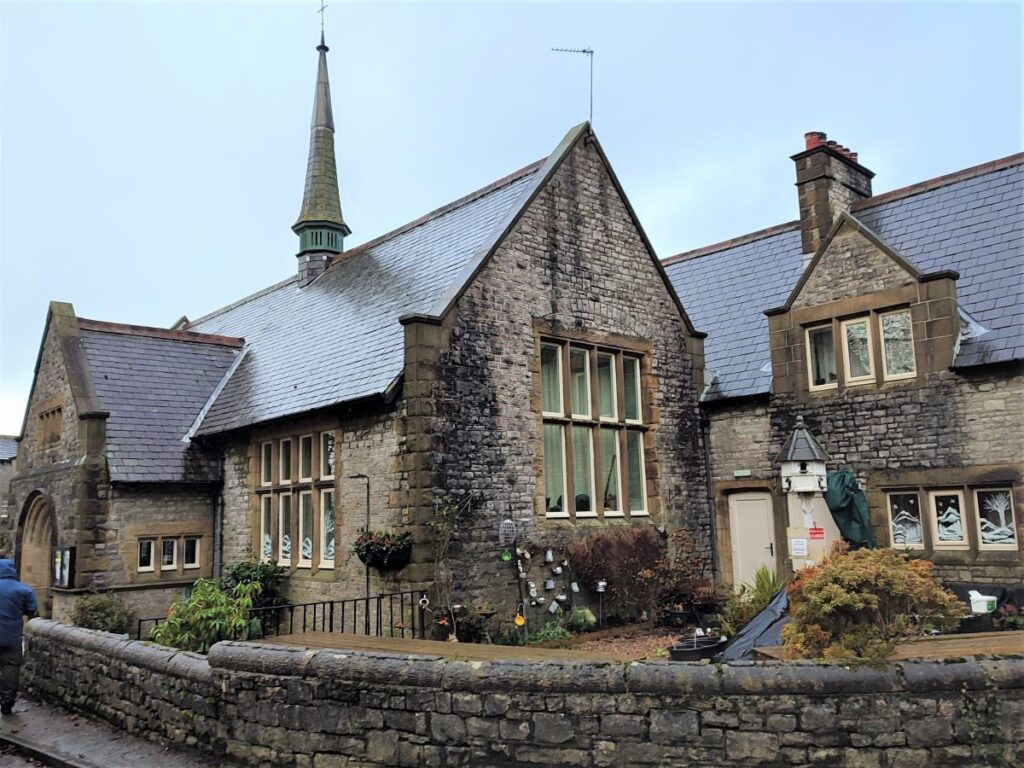
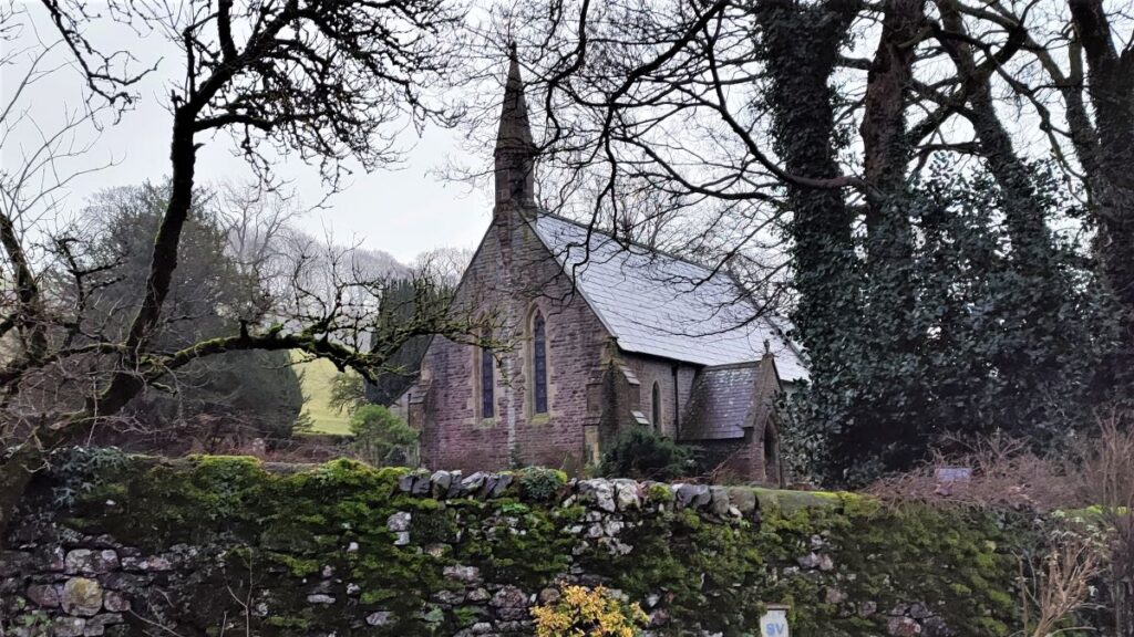
Our walk takes us up Pike Lane to the Northern end of the car park, but before we leave it’s worth taking a look at the church of St John the Evangelist: This relatively young Yorkshire Dales church dates from 1851 and is often visited by tourists and walkers, many of whom comment on its peaceful atmosphere. It is open from 10.00 am to 4.00 pm daily – sometimes later in summer months.

The church was originally one of the four ‘daughter’ churches of the Ancient Parish of Giggleswick. The site, together with funds for the building, was given by John Green Paley, a director of Bowling Iron Works at Bradford. He was a member of a prominent Langcliffe family which included the famous Archdeacon Paley of Carlisle. The Bowling Iron Works was of national significance – you can read more about it here and further details of the church and its stained glass windows can be found here

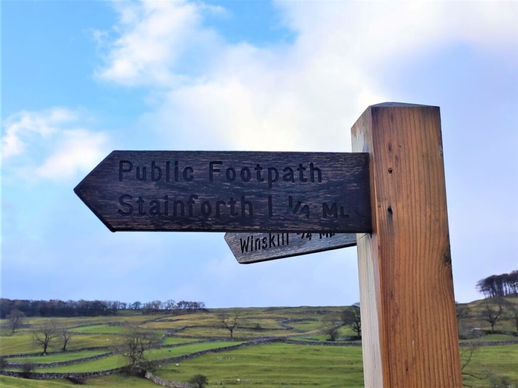
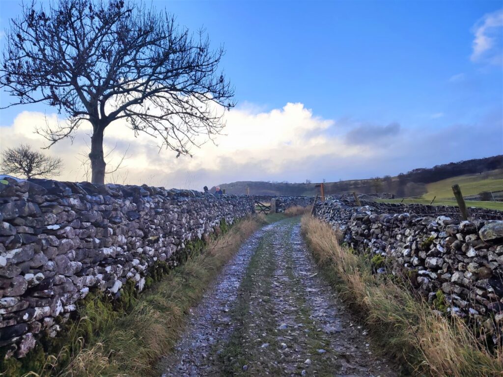
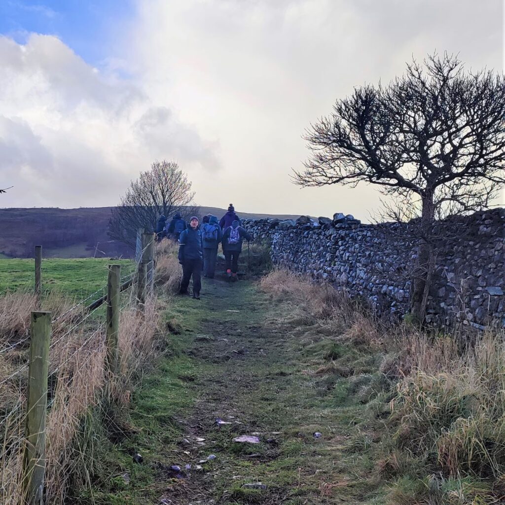
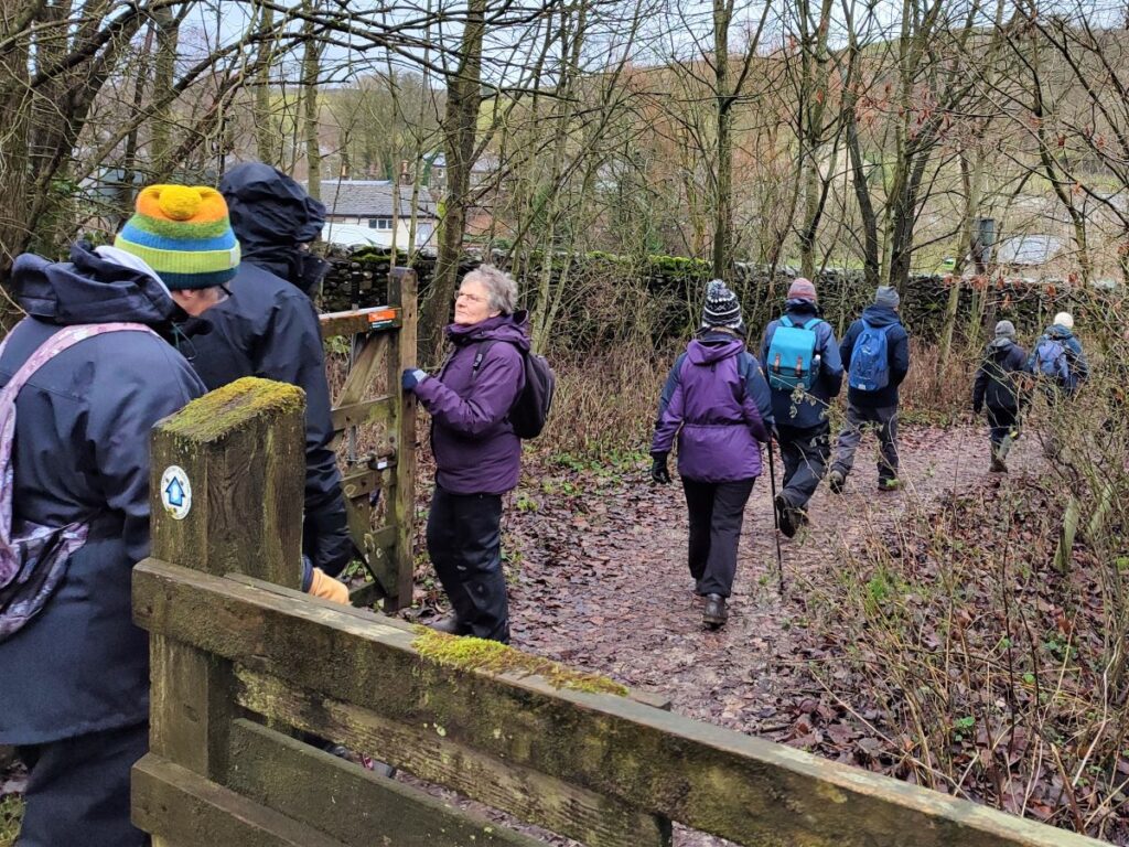
To start the walk, we head away from the church and find a small lane at the northern end of the car park – this is Pike Lane, and as we head up the lane, it veers left to a junction where a smaller track exits on the right. We take the smaller track and head due North for a while between drystone walls, until we reach a fingerpost offering us a choice of routes. We take the public footpath to Stainforth – a 90 ° turn to the left, but it’s worth noting here that the second option of a gentler left turn is our return route; so there is an option at this point to walk the route the other way, or to visit just the Hoffmann Kilns as a very short walk.
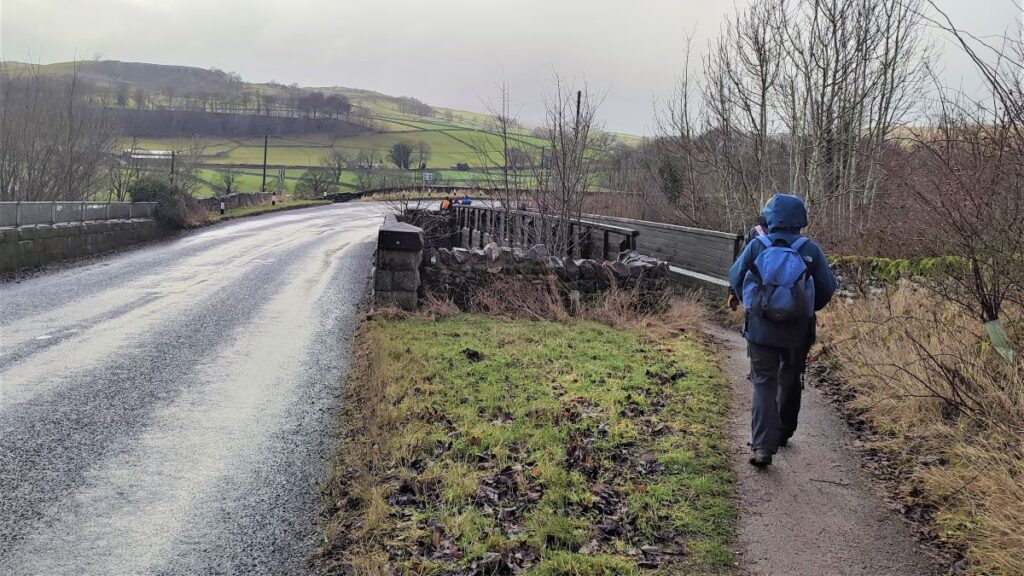
We now head across the field keeping to the boundary line to find a stile in the far right hand corner of the field. This gives us access to a track where we turn left and head down to the main road – this is the B6479 again. As we approach the road, we notice that over to our right it crosses the railway, and just beside the road bridge is a pedestrian bridge which we take to cross the tracks.
At the far end of the bridge, we see a minor lane opposite us heading downhill toward the River Ribble. We take this lane and follow it until the river comes into view.
At this point we see a significant weir – this was built along with the Langcliffe Mill in 1783/84, and the weir’s function was to control water flow to a reservoir which supplied water to the waterwheel that powered the mill equipment. The reservoir is still present, though not particularly visible from the footpath.
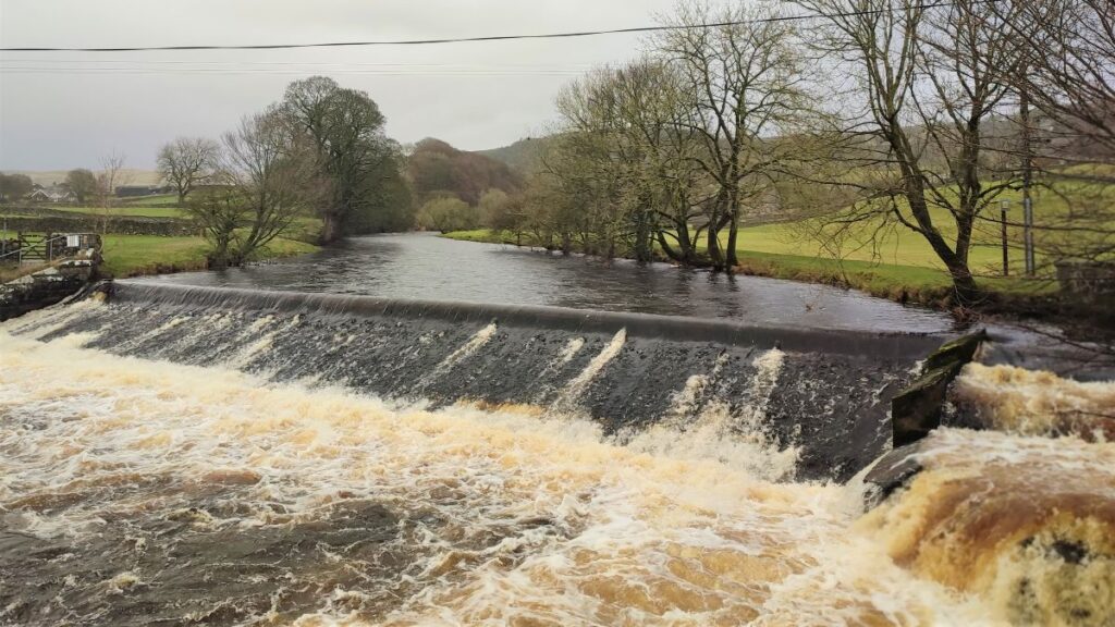
Langcliffe Mill was one of Yorkshire’s largest and earliest cotton spinning mills. In the early 1800’s the mill was enlarged to accommodate a steam engine to supplement its water power. The mill, along with the Watershed Mill further downstream operated until 1950.
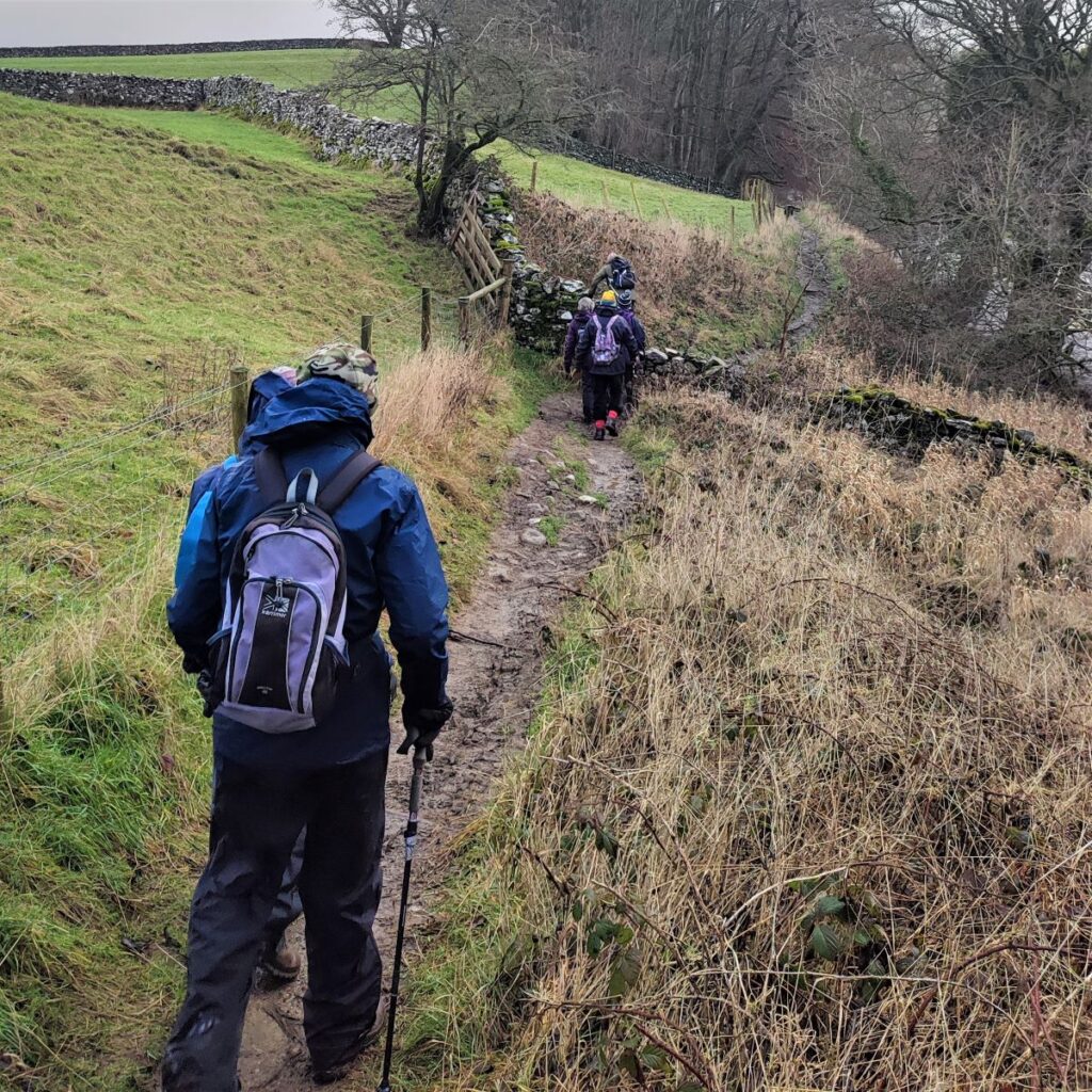
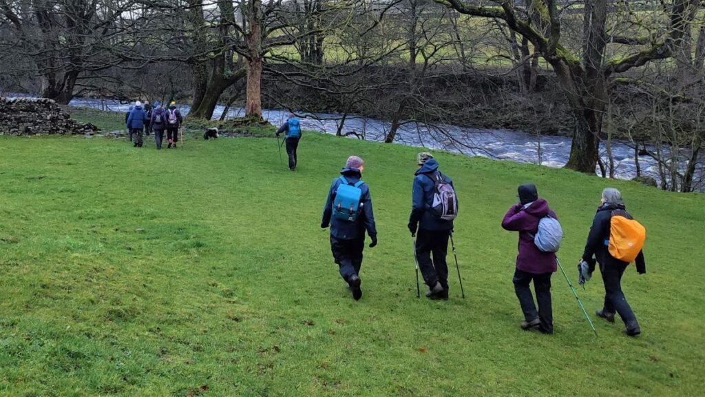
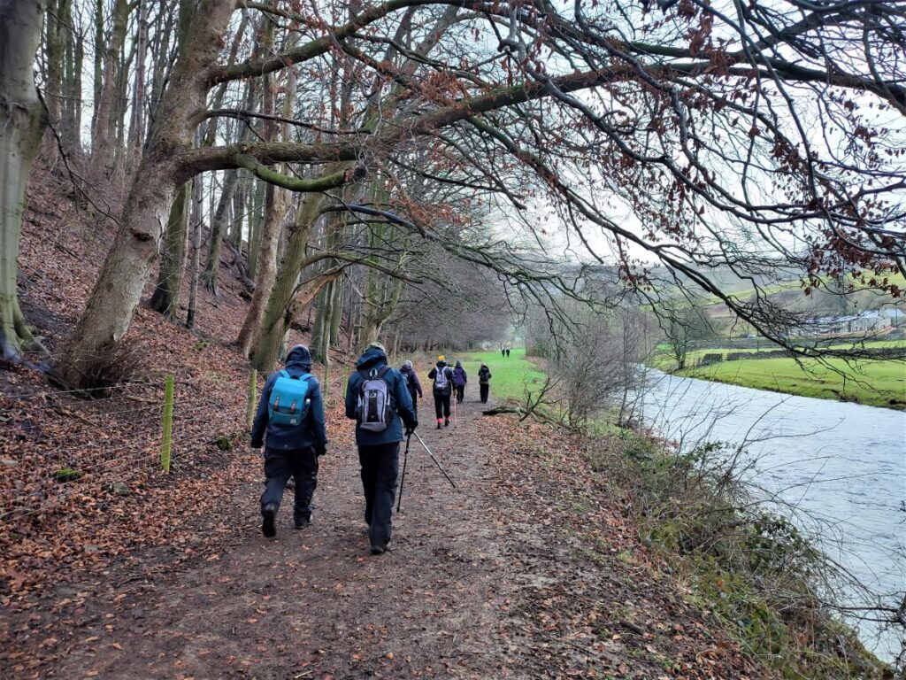
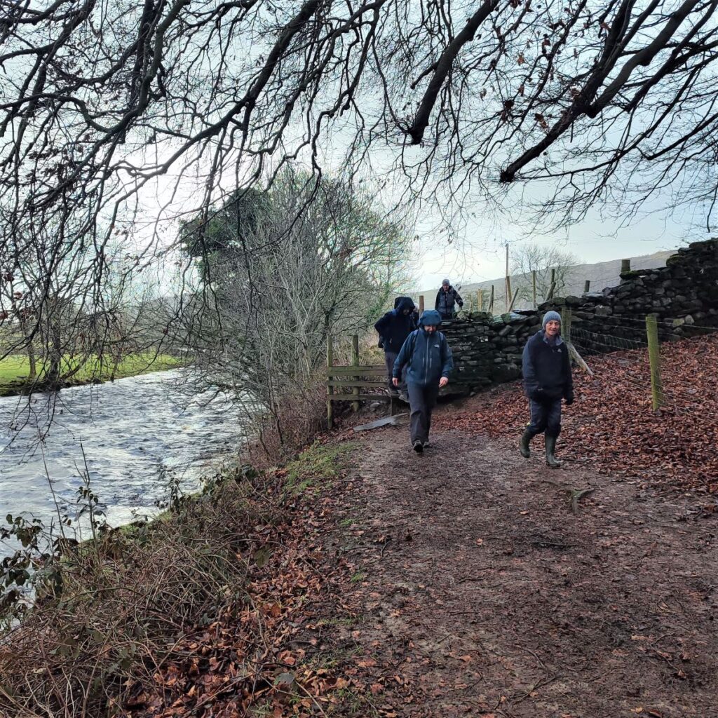
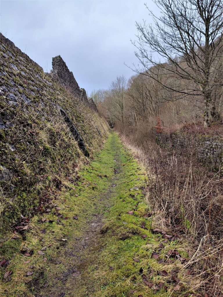
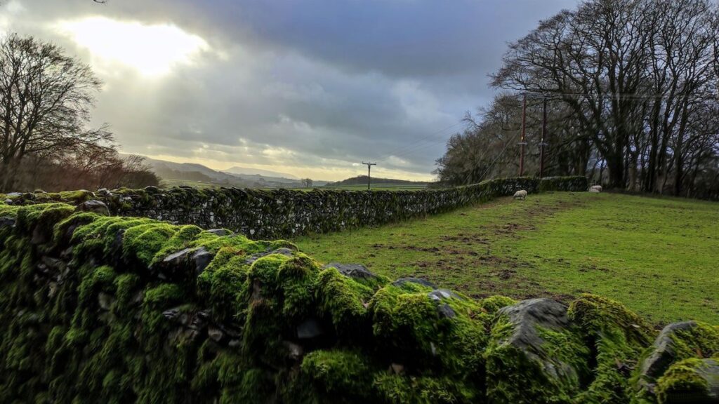
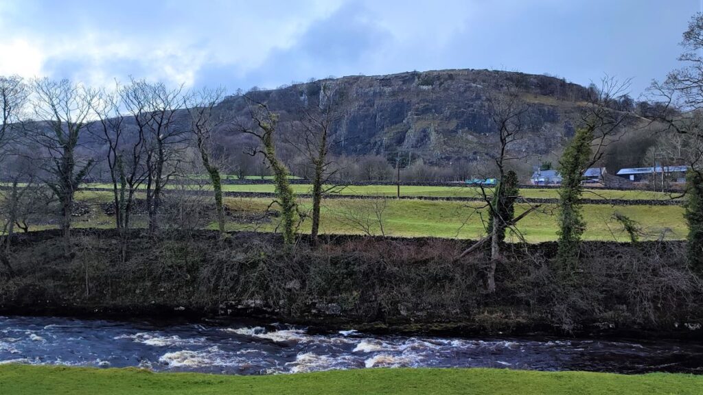
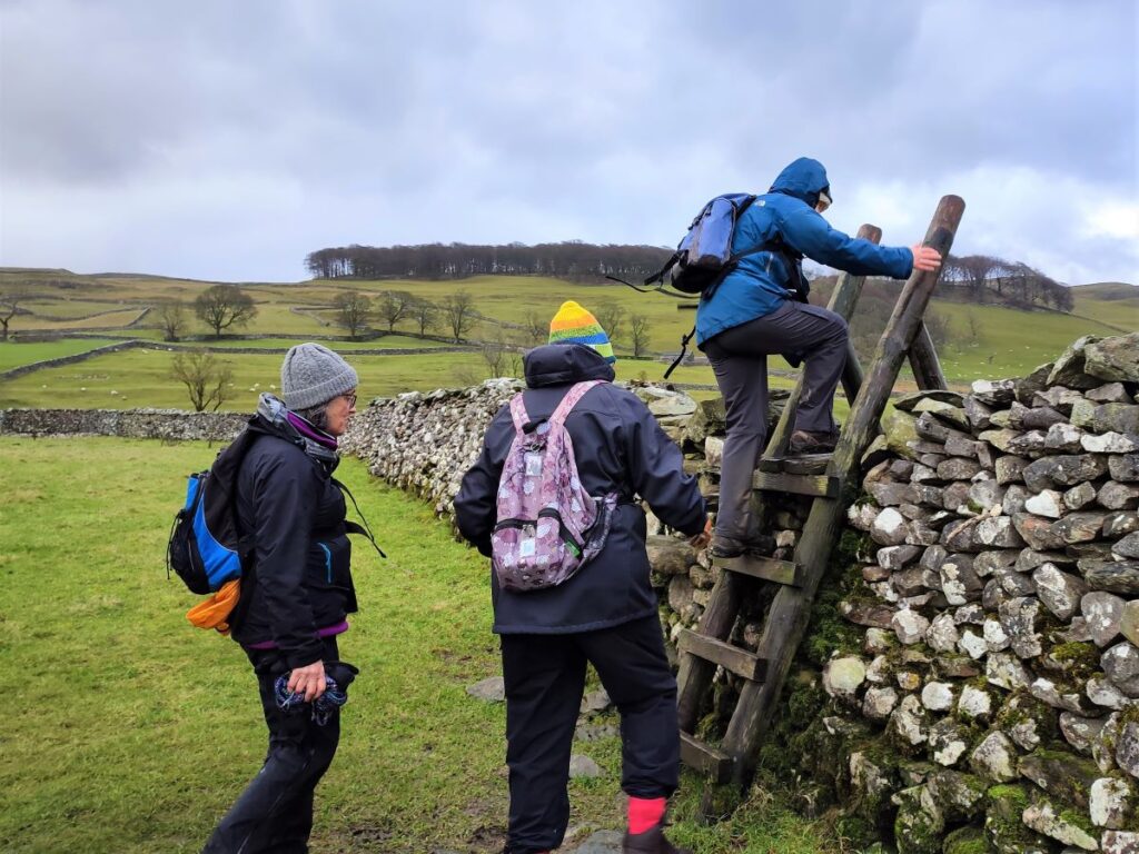
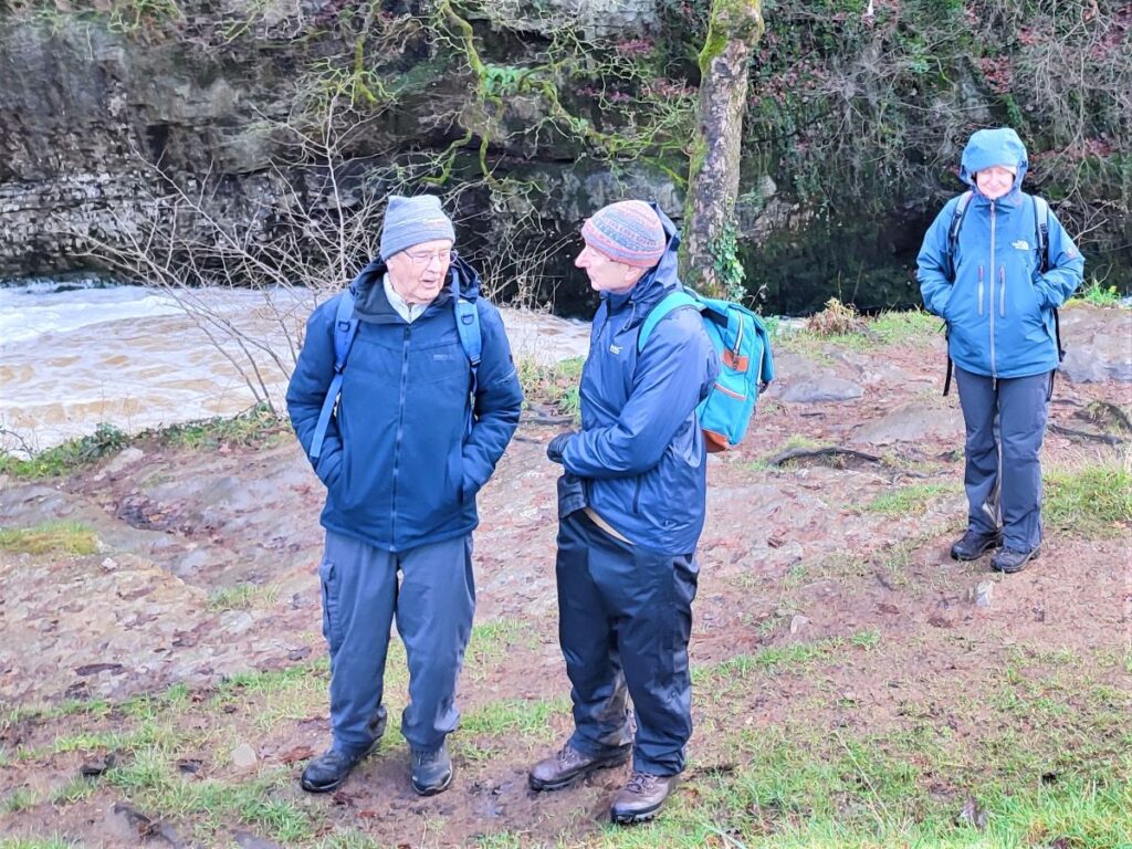
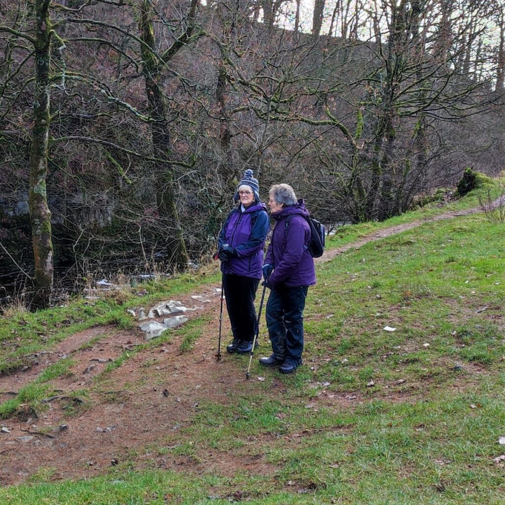
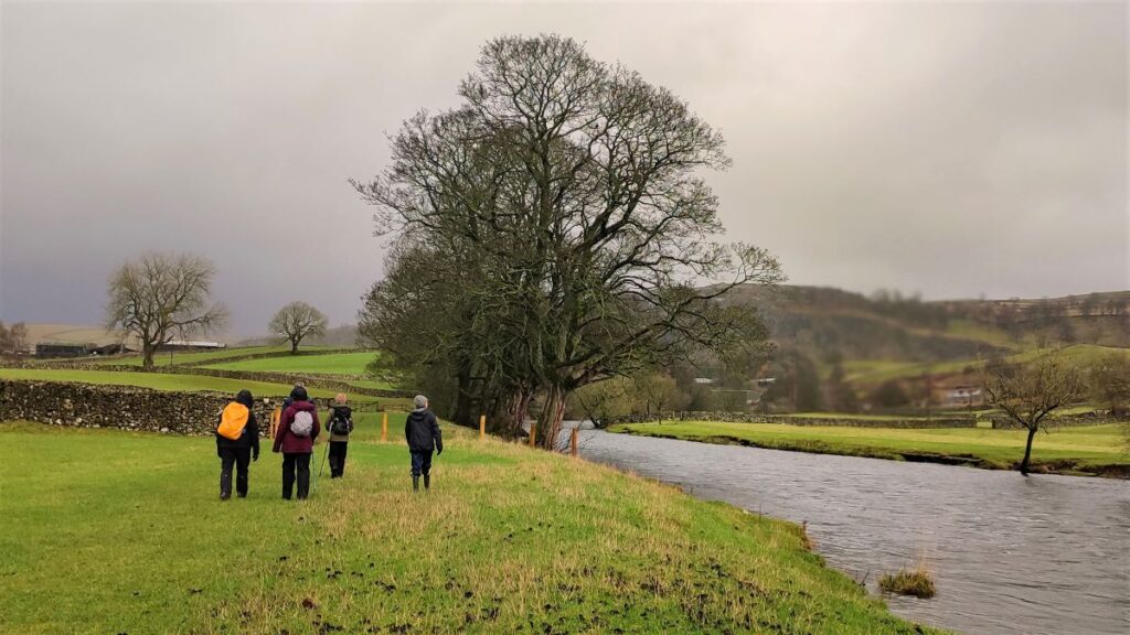
Just below the weir is a footbridge which we cross before taking a sharp right turn to head upstream along a path adjacent to the Ribble. This is the Ribble Way – a popular route, so navigation is clear. In essence we follow the river upstream until we get to the packhorse bridge at Stainforth.

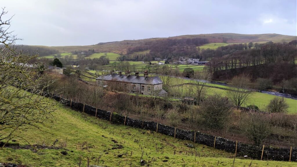
As we head upstream, we pass another mill on the opposite side of the river. This structure, known locally as the Paper mill, or Old Mill, sits on the Langcliffe/Stainforth parish boundary. It was built as a corn mill, but later became a paper mill, which it remained until recently when it was repurposed for stone processing.
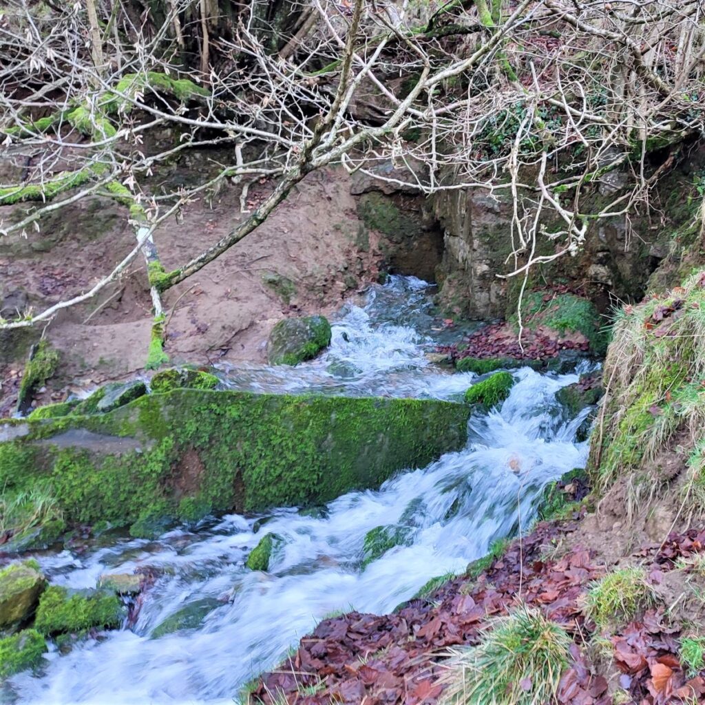
Further on still, we find a spring emerging from a crevice in the bank on our left. Depending on the recent rainfall, this can be either a barely visible trickle, or as we found, a torrent that requires some care in crossing. Having crossed, it’s worth noticing that what at first appears to be the far bank of the river is in fact a small (unnamed) island within the Ribble which forks briefly at this point.
We carry on heading North up the left bank of the Ribble until the caravan park at Knight Stainforth comes into view, and as it does, we see Stainforth Beck disgorging into the Ribble over on our right. This was the site of a notorious tragedy in October 2000 when two teenage girls on a school trip from a Leeds school were swept away and drowned whilst walking in the fast flowing beck.
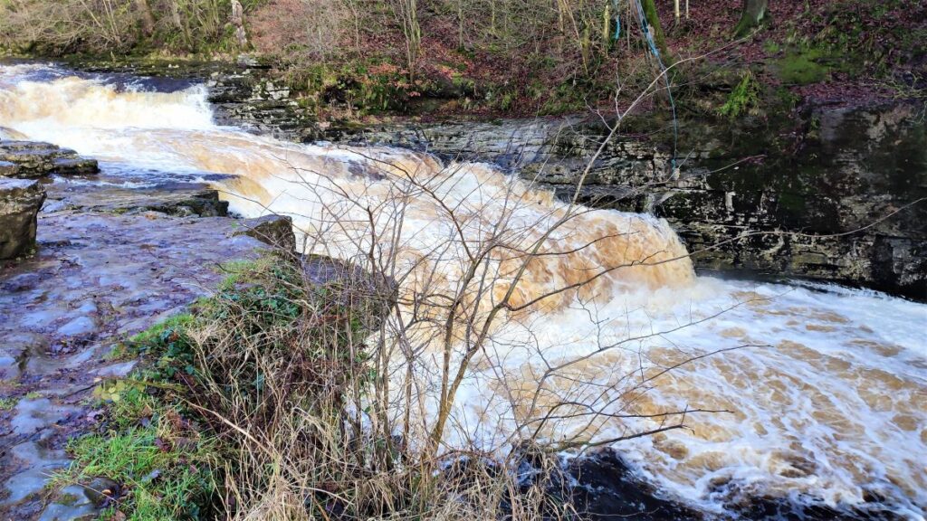
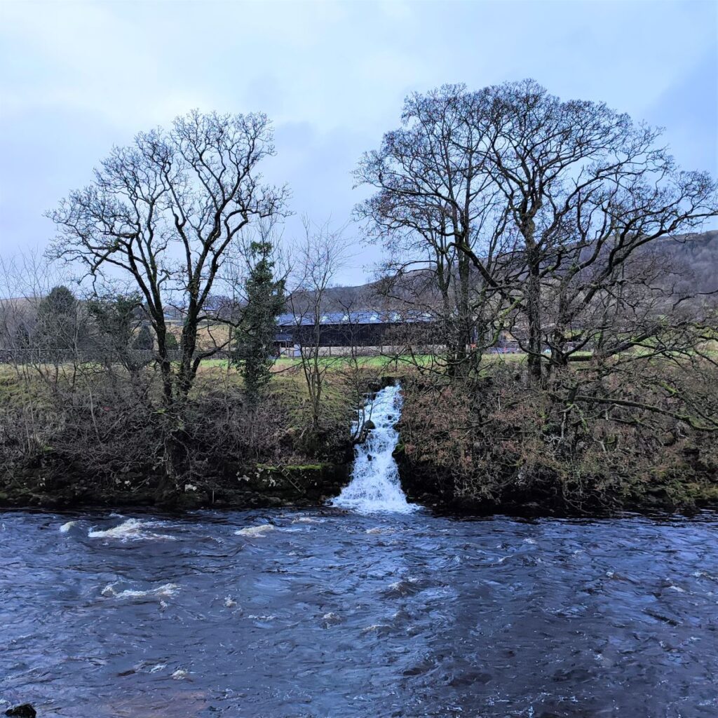
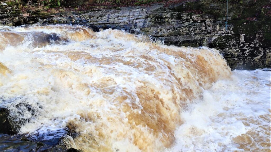
Slightly further upstream from here we arrive at the waterfalls known as Stainforth Force – a well known location to watch salmon leaping in the autumn as they head upstream to spawn. Seeing the salmon is a matter of chance, and having your camera pointing in anything like the right direction when a salmon does leap requires either genius or exceptional luck. It might therefore be easier to check this video
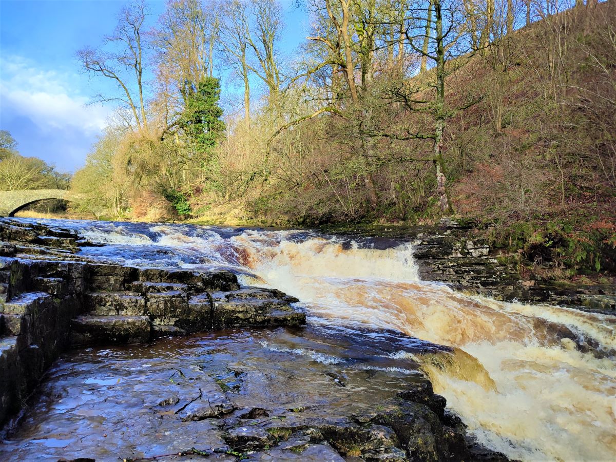

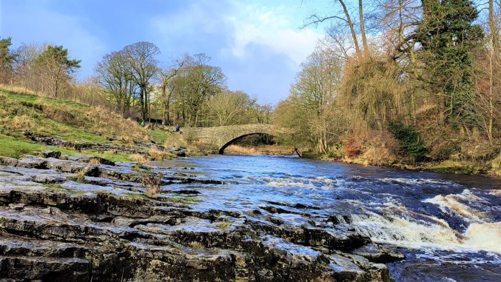
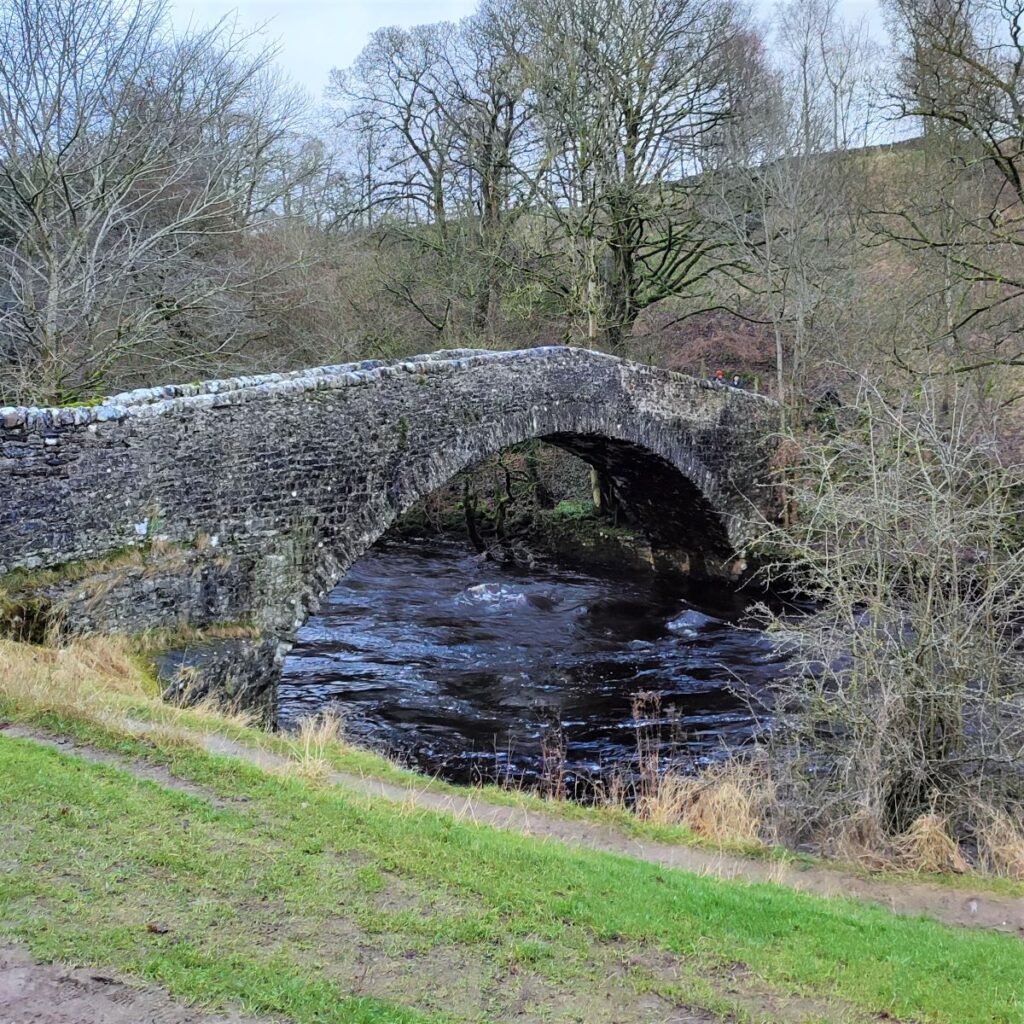
Above Stainforth Force, we find an ancient packhorse bridge which now belongs to the National Trust. Stainforth Bridge, (variously known as Stainforth packhorse bridge and Knight Stainforth bridge) is a 17th century, single arched packhorse bridge. It was in private ownership until the 1930s, when it was taken on by the National Trust, and is now a grade II listed structure.
The bridge was built by Samuel Watson in 1675. Watson was a Quaker who owned Knight Stainforth Hall, a Jacobean house which is nearby, and which we have passed on other Bentham Footpath Group walks. Prior to then, the site was a simple ford which was obviously impassable during times of flood. The bridge carries a minor road called Dog Hill Brow and besides being a Medieval route linking York and Lancaster, and a monastic road taken by monks between Yorkshire and the Lake District, the route was also a day to day packhorse road connecting Clapham with Malham
A covenant was drawn up in the year of the bridge’s building stating that people on foot, or with carts and cattle, had “free passage between the towns of Knight Stainforth and Stainforth Under Bargh” – the name that Stainforth village then carried.
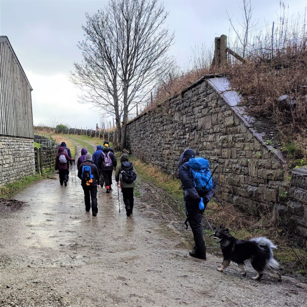
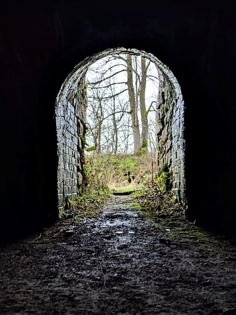
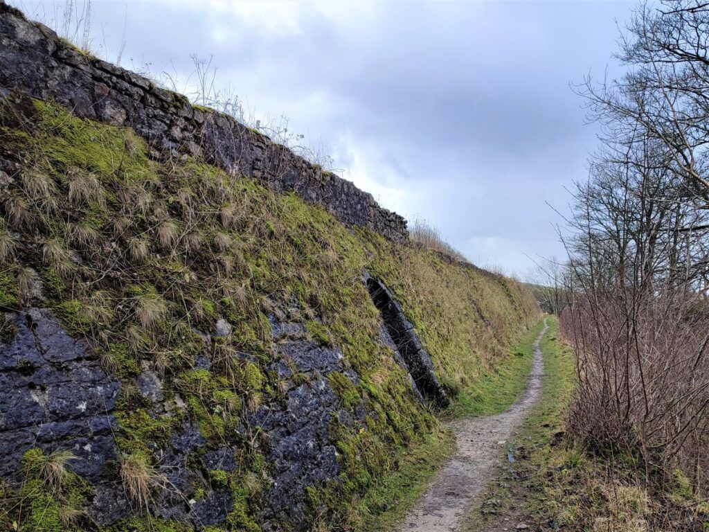
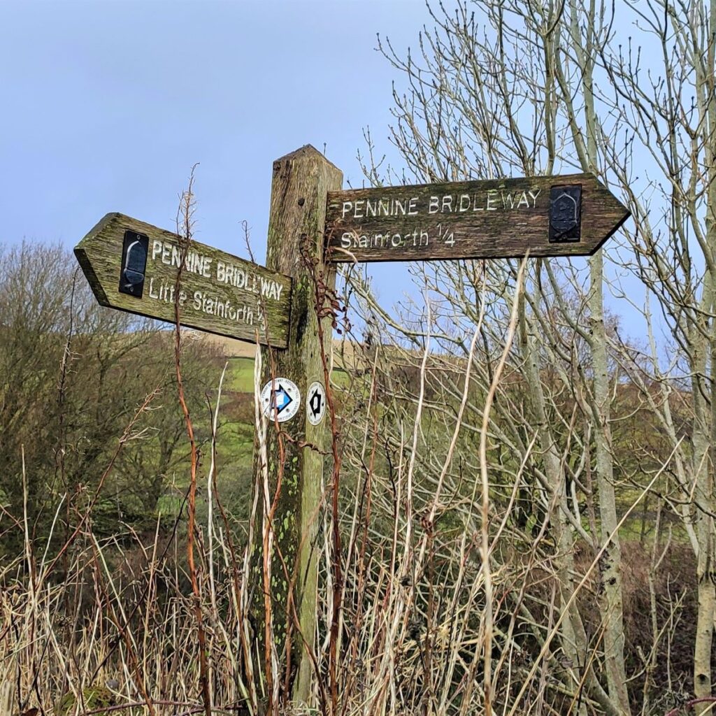
We cross the bridge and follow Dog Hill Brow up toward Stainforth. Just before we arrive at the bridge over the Settle to Carlisle railway line though, we take a bridleway on the right which follows the railway and then turn sharp left to cross it before heading under the B6479 to enter a carpark (with public toilets) in Stainforth.
We then head back out to the main road and turn left to head along the pavement on the left hand side – we are now heading back in the direction of Langcliffe and Settle. We cross a minor road on the left and soon after this, the pavement runs out. This is not a problem though, because at much the same time we see a fingerpost indicating a public footpath across fields to the Lime Kilns.
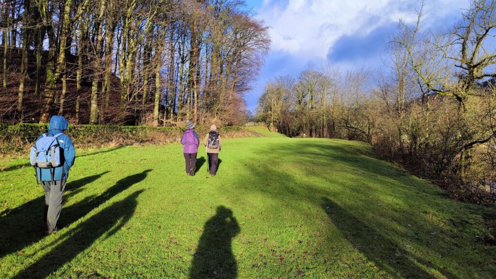
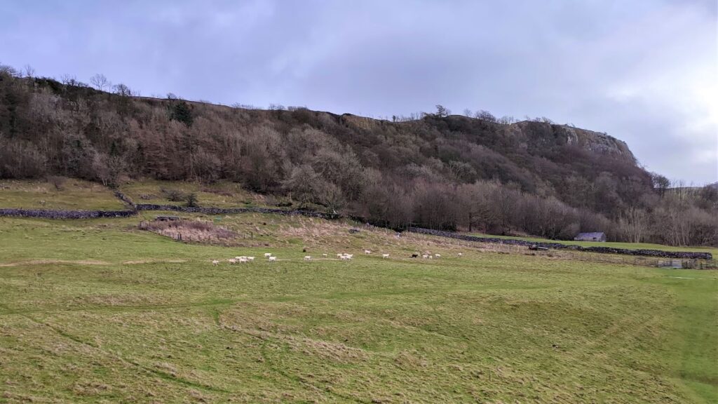
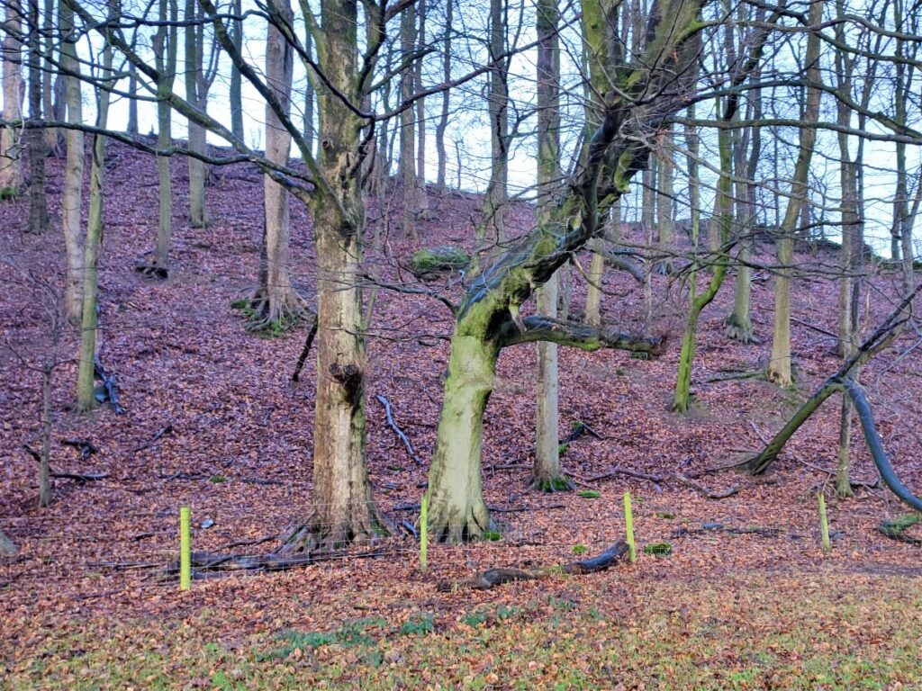
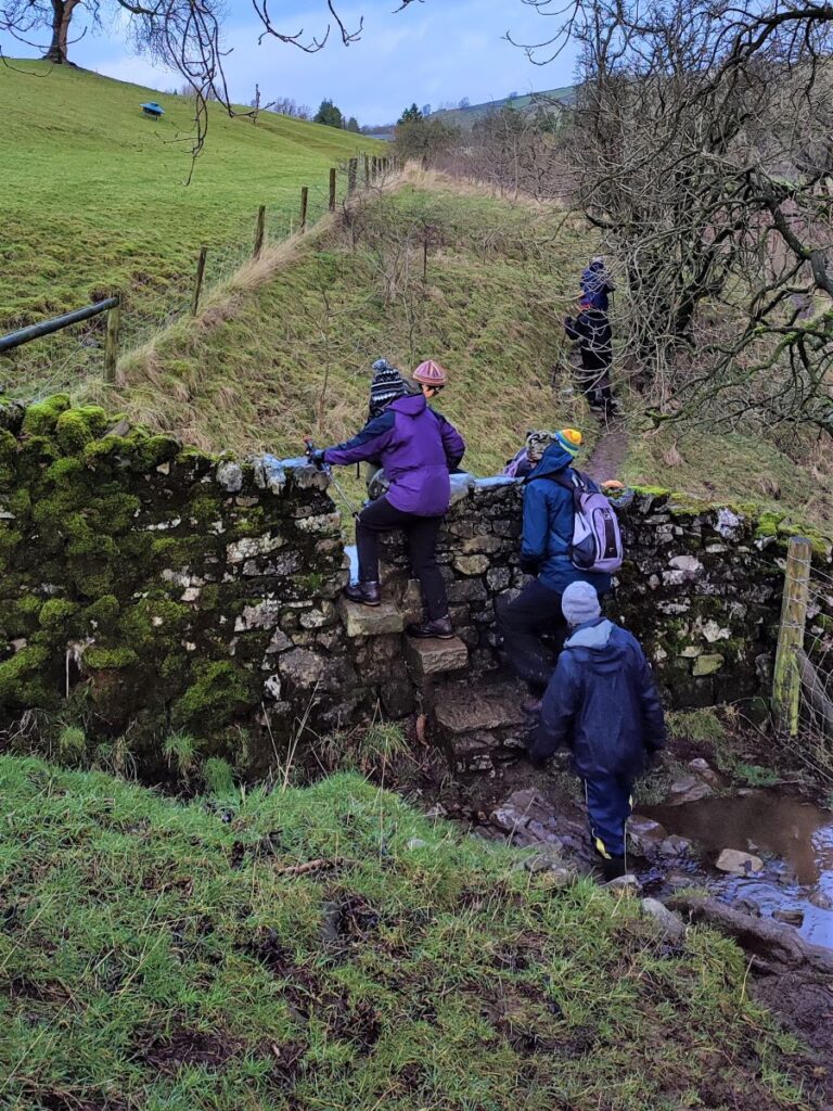
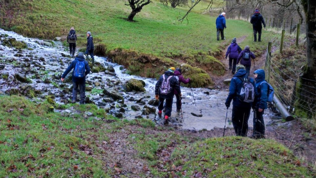
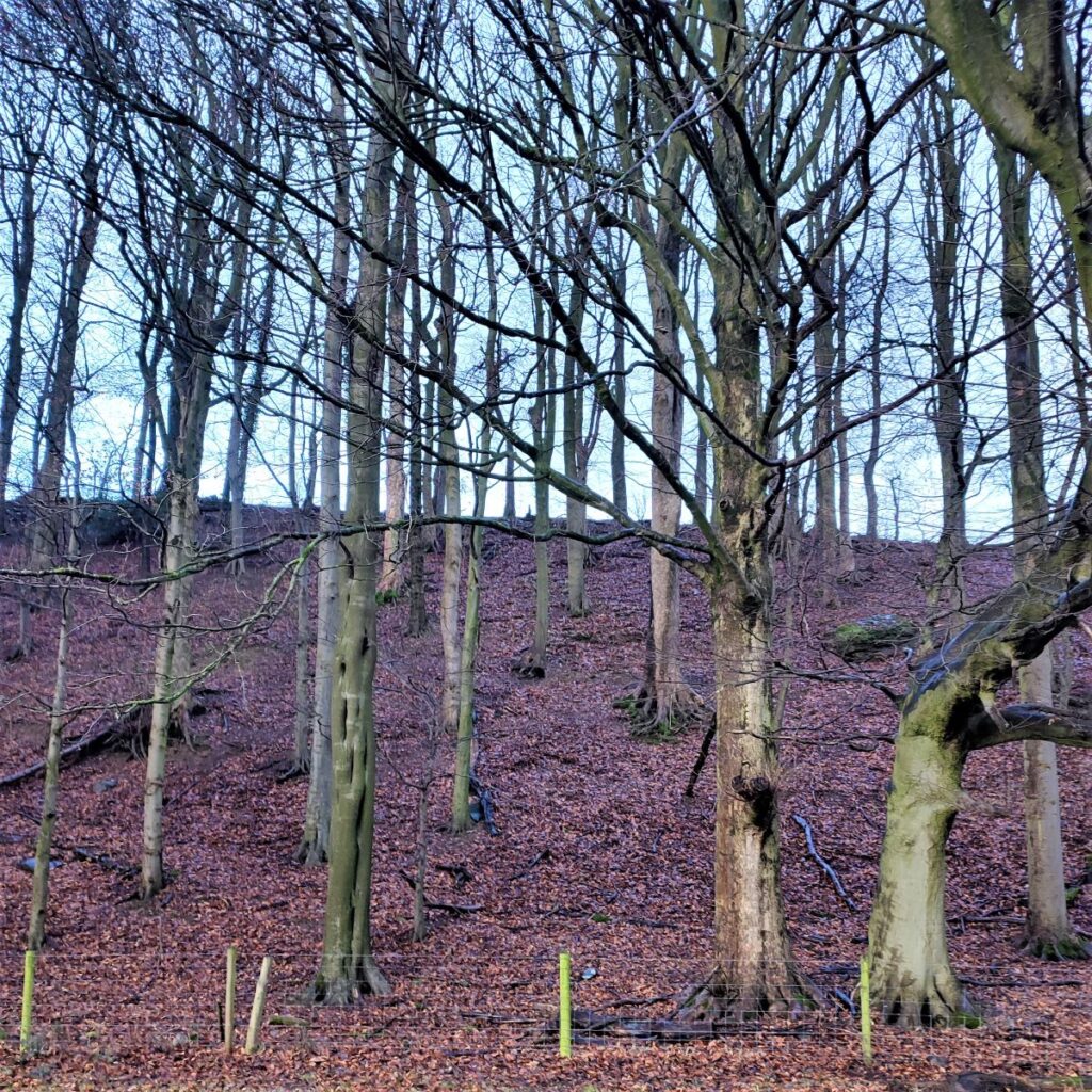
We cross a couple of fields – fording a stream that can be anywhere from dry through to a wide but shallow flow. At all times we are heading South using the point where the woodland spills down the Langcliffe Scar to meet the lower level pasture as our target.
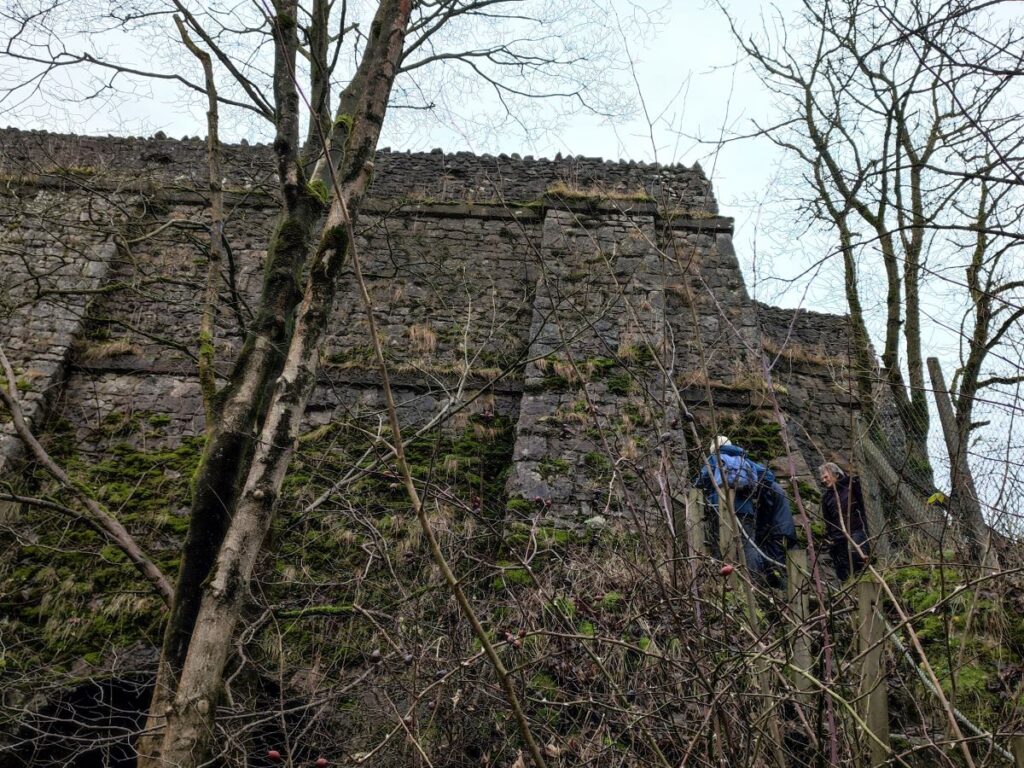
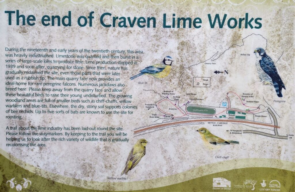
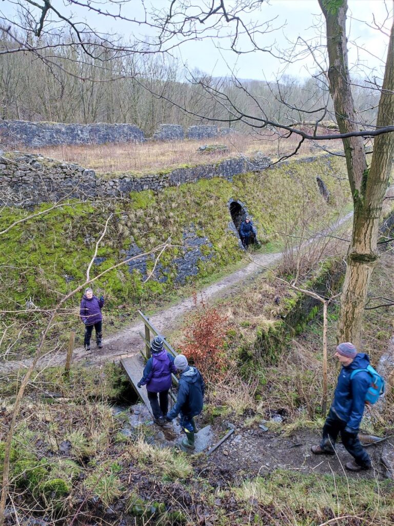
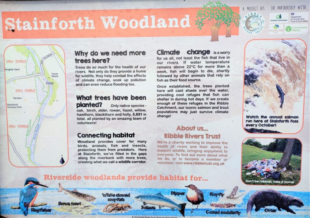
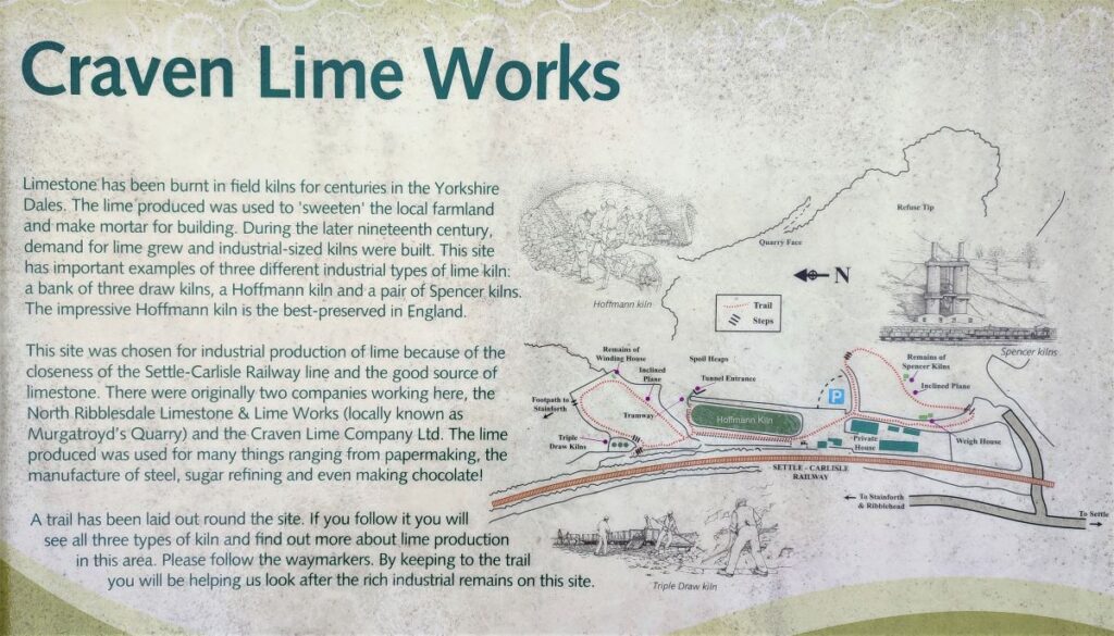
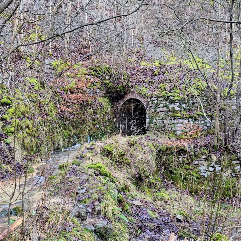
As we approach the woodland, we see the first indications of the remains of the Craven Lime Works. Until fairly recently (the 1980s), this site was simply an abandoned industrial site – but as the value of industrial heritage has become more widely appreciated there is now extensive preservation and a wealth of information to show how this fascinating site once operated.
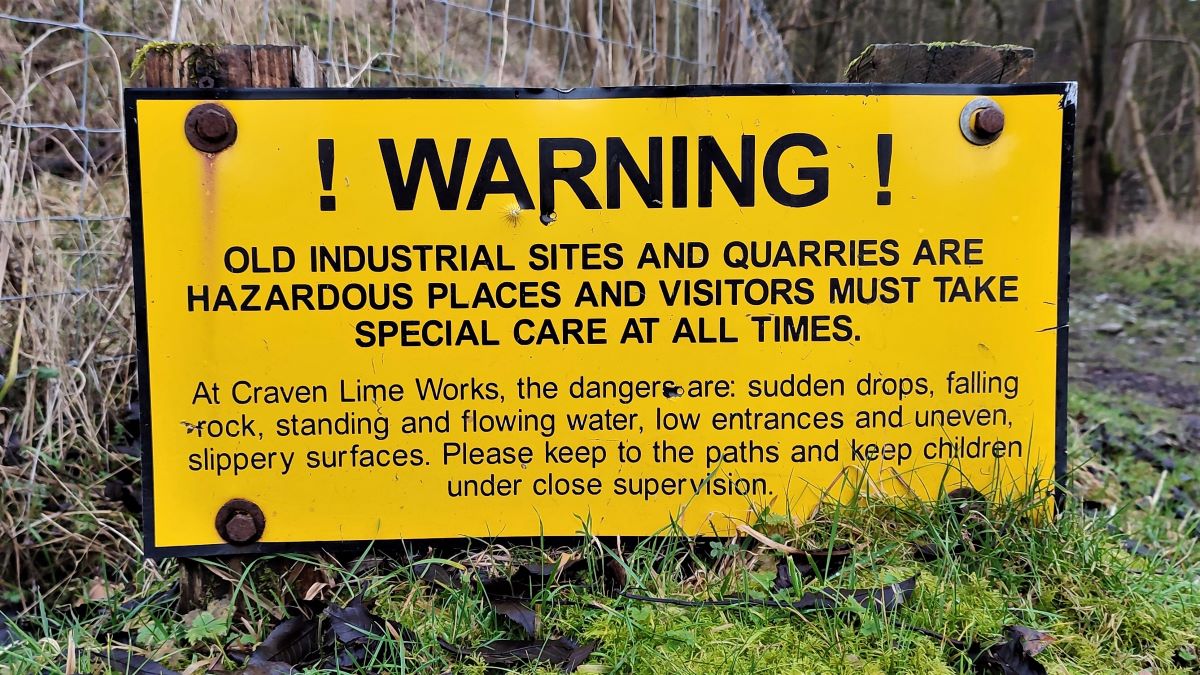
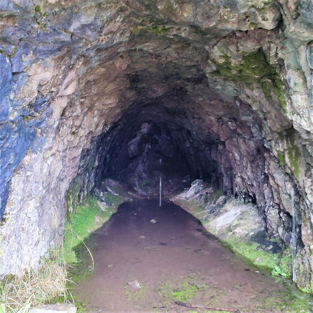
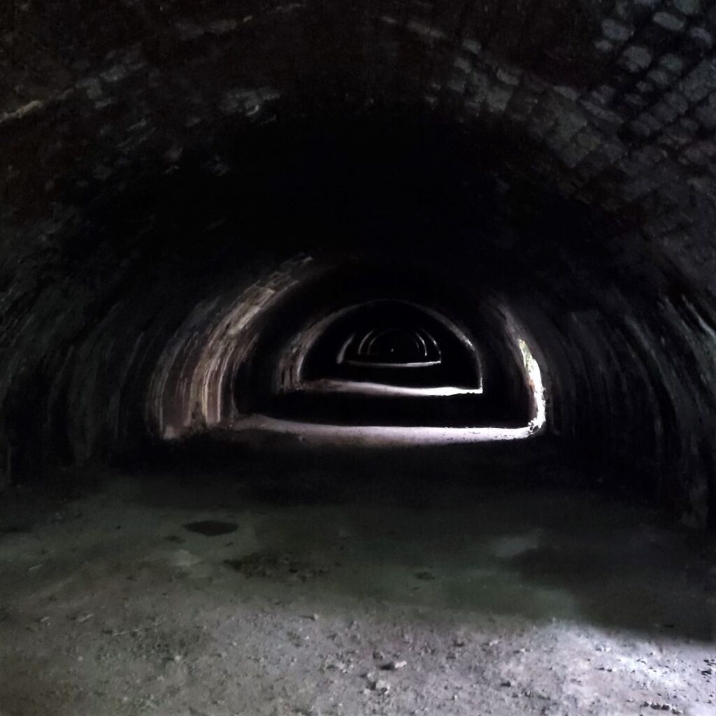
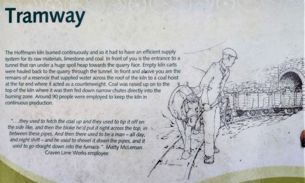
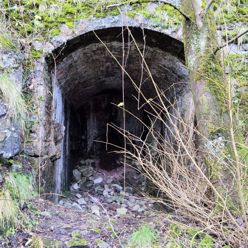
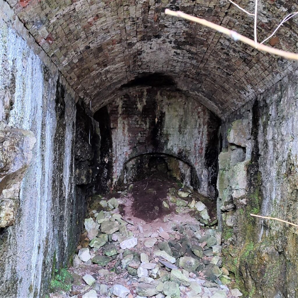
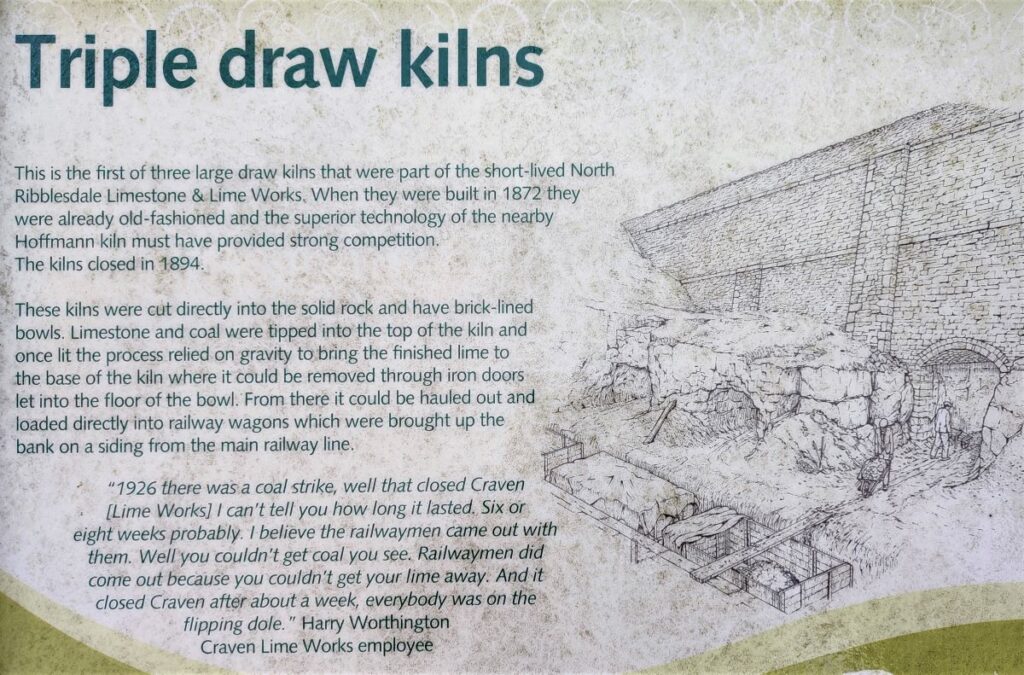
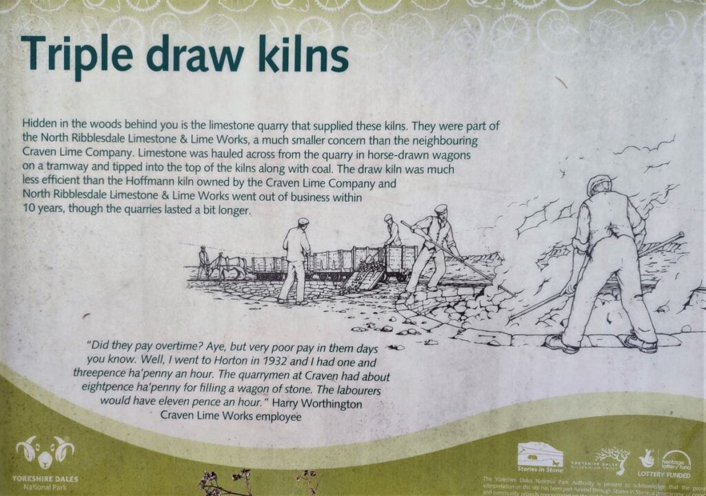
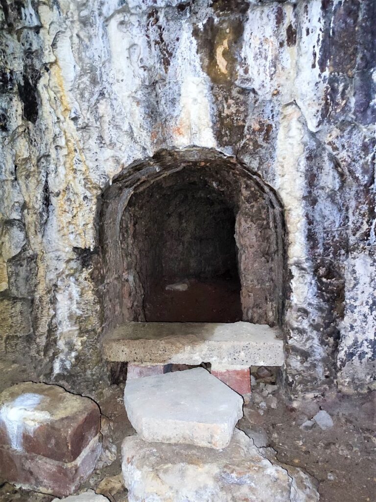
There are the remains of three types of Lime Kiln on the site; the Spencer Kilns, the Triple Draw Kilns and visually stunning Hoffmann Kiln, along with evidence of railway sidings, a tramway used to deliver raw limestone, and an inclined plane.
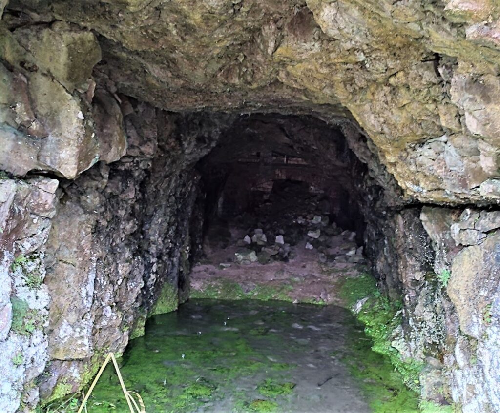
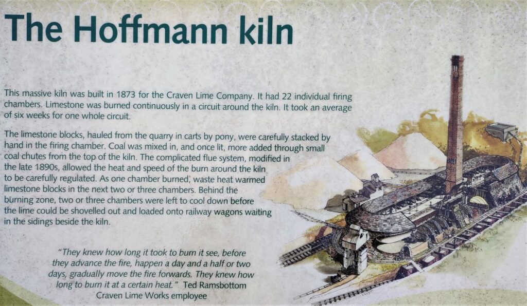
The Hoffmann was the largest and most modern of the three kiln types at this site and was built in 1873 for the Craven Lime Company. The Hoffmann Continuous kiln was patented in 1858 by its German inventor Friedrich Hoffmann. The version built under licence at Langcliffe had 22 individual burning chambers. Limestone was burned continuously in a circuit around the kiln, and it took an average of six weeks for one whole circuit to burn round the loop.
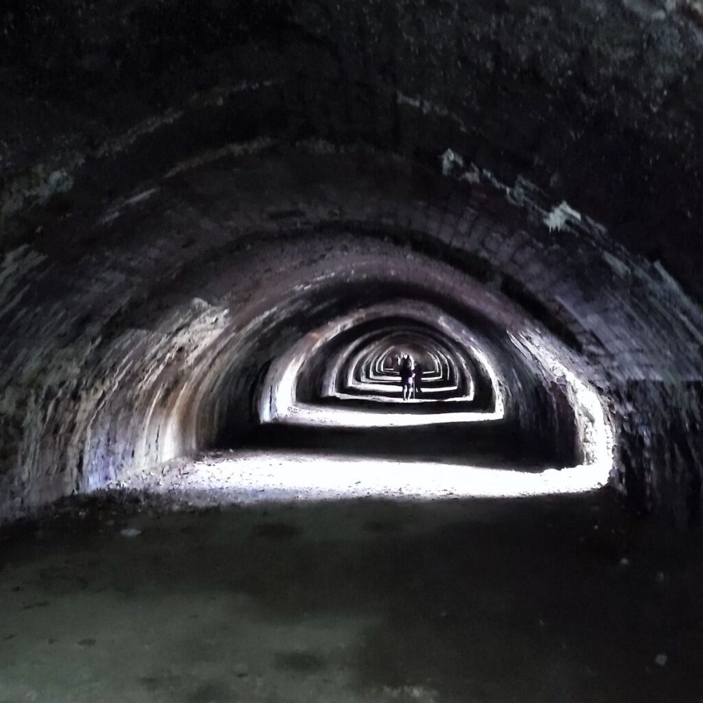
Limestone blocks from the nearby quarry were barrowed in and carefully stacked by hand in the burning chamber. Coal was mixed in, and once lit, more added through small coal chutes from the top of the kiln. The complicated flue system allowed the heat and speed of the burn around the kiln to be carefully regulated. As one chamber burned, waste heat warmed limestone blocks in the next two or three chambers. Behind the burning zone, two or three chambers were left to cool down before the lime could be shovelled out and loaded onto railway wagons waiting in the sidings beside the kiln.
The kiln is lined with firebricks to withstand the intense heat. Behind the firebricks is a limestone rubble core, which helped to keep the heat in. In the roof are the small chutes down which crushed coal was dropped to keep the limestone burning. At floor level in the walls are the flue holes. Air was drawn from the outside under the burning limestone and the smoke went up the central core of the kiln to the chimney. Iron dampers on the roof allowed workers to regulate the draught in the flue system.
In 1931, competition from elsewhere and falling sales led to the closure of the Hoffmann kiln and its associated quarry at Langcliffe. The kiln was fired up one more time in 1937, but in 1939 it was closed down permanently. In 1951, arrangements had been made to ceremoniously demolish the chimney, but it came down of its own accord the day before with no one (or perhaps just one or two miscreants) there to see it.
The site is well worth spending time exploring: The following links may be useful:
YouTube video
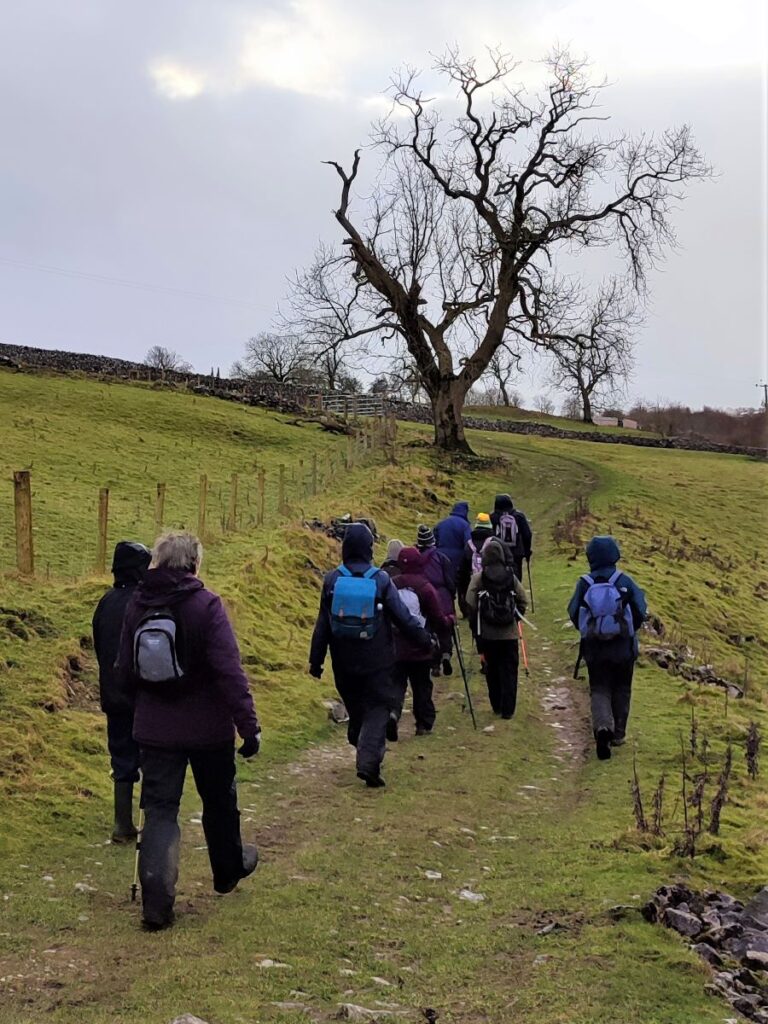
From the Lime works, we follow the railway line, passing behind some new industrial units that are being developed at the site, and on to a small road under the railway. Straight on (i.e., without going under the railway bridge) we see a rough lane which heads uphill in much the same direction as the tracks. We follow this lane which soon fades to become a path which heads South across the fields crossing a couple of stiles and rising gently until we arrive back at the lane where we left Langcliffe.
From here the return journey is short and simple – it’s a reversal of the start of the walk.
We then drove over to Elaine’s Tea Rooms in Feizor – we highly recommend Elaine’s.
- Total distance 7.6km (4.7 miles)
- Total ascent 192m
- Easy walk