Jump to . . .Step by Step | OS Map | Downloads | Gallery | Fly through
Anyone who has spent any time in the Yorkshire Dales is well aware of the three peaks challenge – and over the years Horton in Ribblesdale has become the de facto starting point. This walk aims to show that there is much more to the top end of Ribblesdale than Pen-y-Ghent.
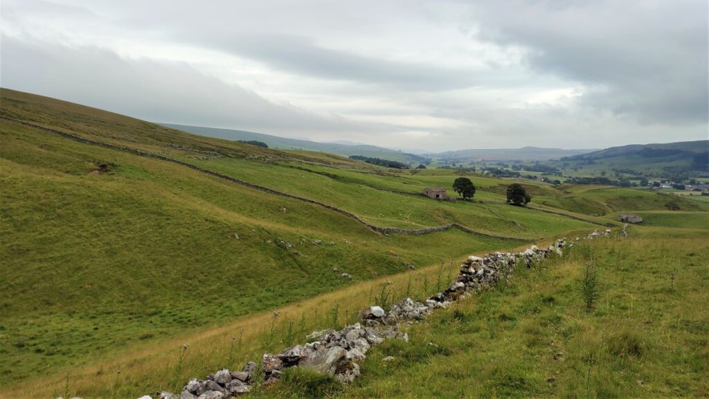
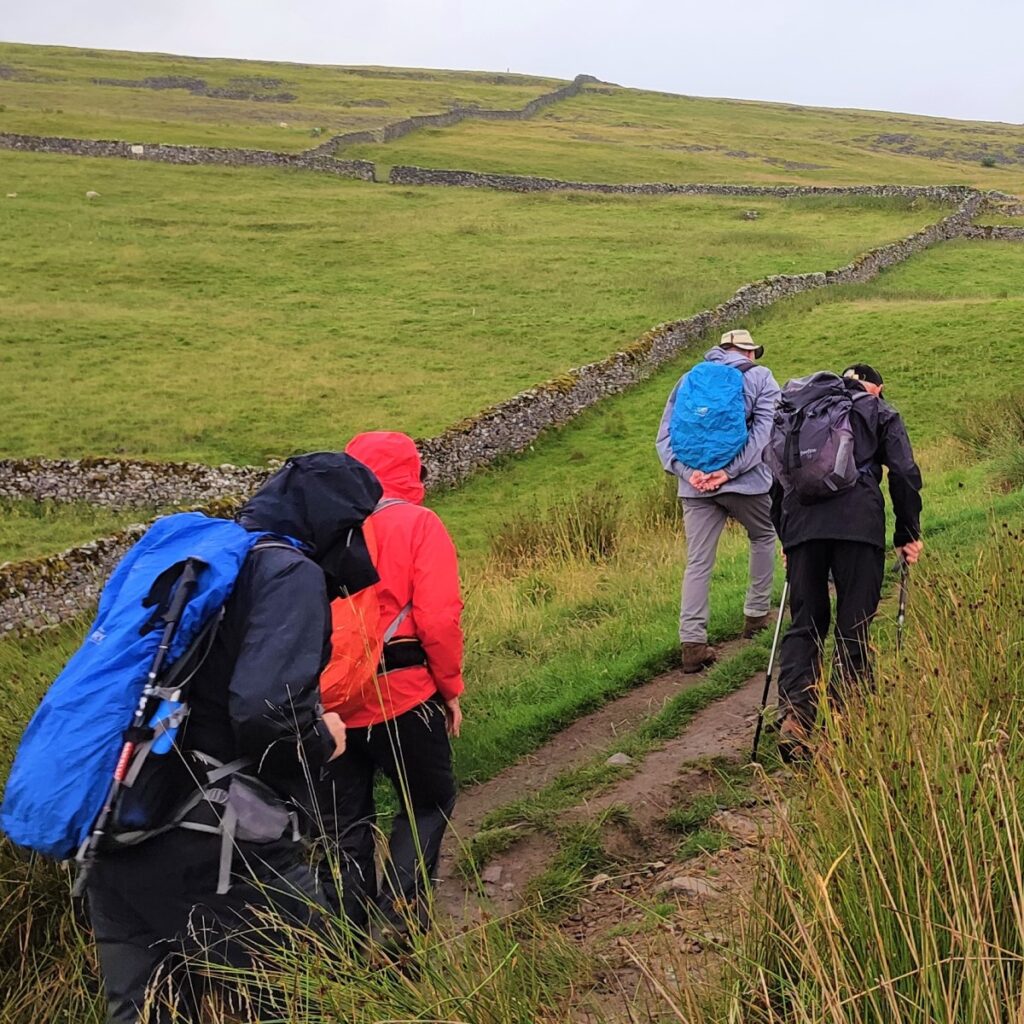
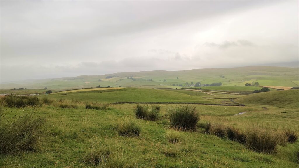
We start in Horton and then walk up to the station where we cross the lines and take the path up to Sulber Nick. Here we turn right along the Pennine Bridleway for a while, but when the bridleway heads East toward the road, we press on North to the entrance to Alum Pot and then head right to take the lane down into Selside.
From Selside we turn left and head over to High Birkwith, crossing the upper reaches of the Ribble, to reconnect with the Pennine Bridleway, which takes us up toward Old Ing. Before we get that far though, we take a sharp right to pick up a path heading South along the contours of Horton Moor.
This eventually comes down to a quiet lane at New Houses which we follow back to Horton. The distance is just over our definition for a challenging walk, but feedback from the group on the day was that this was NOT a difficult walk, so if you normally consider “moderate” to be your limit, give this walk some thought.
- Total distance 15.5 km (9.6 miles)
- Total Ascent 454m
- Challenging walk
Step-by-Step
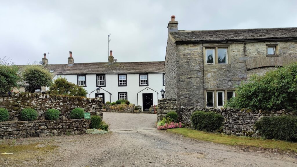
The walk starts in Horton in Ribblesdale – which means that some thought needs to be given to parking. There may spaces on the main road either before or after the National Park car park, but if you have no luck there, the other options are the National Park car park itself – where there is a toilet – or during “the season” the field just after the bridge is available for parking on an honesty box system. This is where the GPX runs from for this walk.

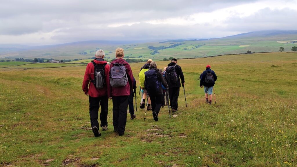
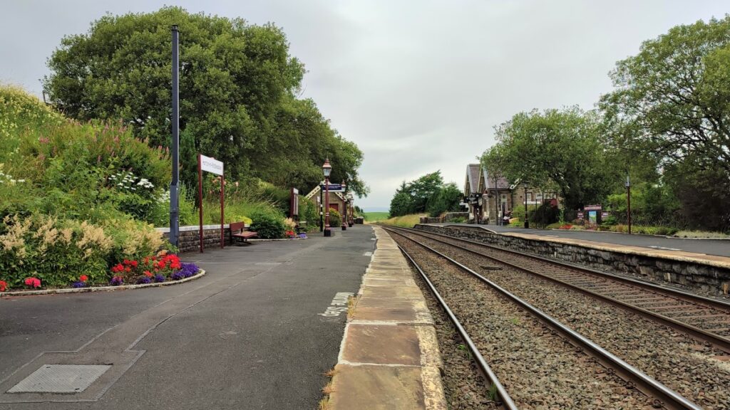
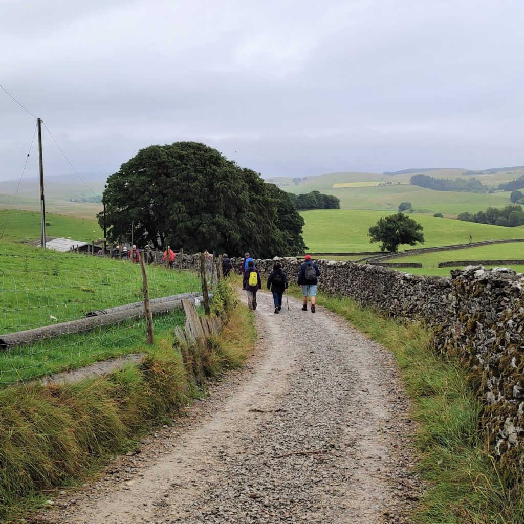
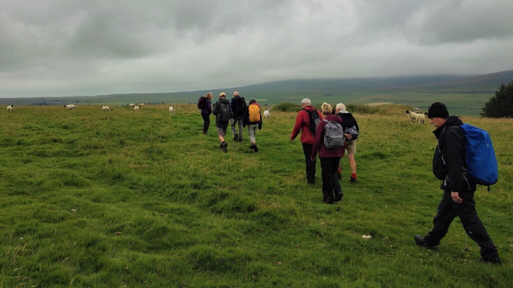
From wherever you park, head out along the main road toward the railway station and take the access road up to the station. Cross the lines carefully at the designated crossing, and from there you will see a path heading uphill to a kissing gate on the far side.
Once clear of this gate the path through the field is clear, and well-trodden, as this is a popular route over to Ingleborough.
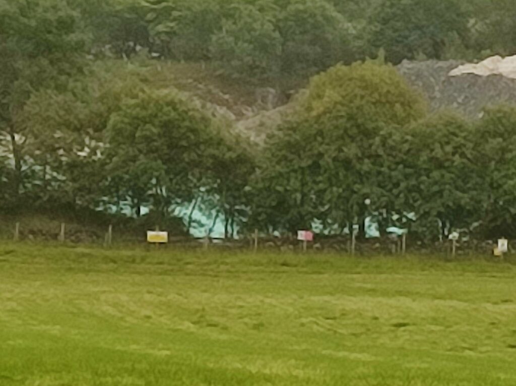
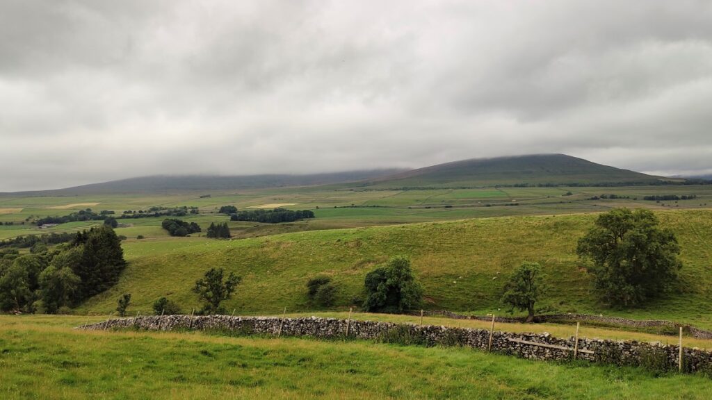
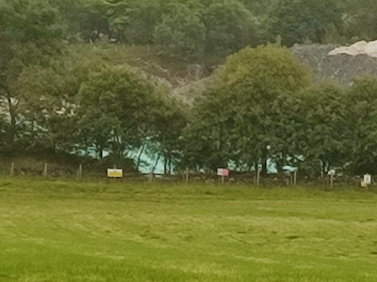
The path initially heads right, and as we follow it, we have good views over to the left where we see Horton Quarry, and the settling pond often, and for obvious reasons, referred to as “the blue lagoon”.
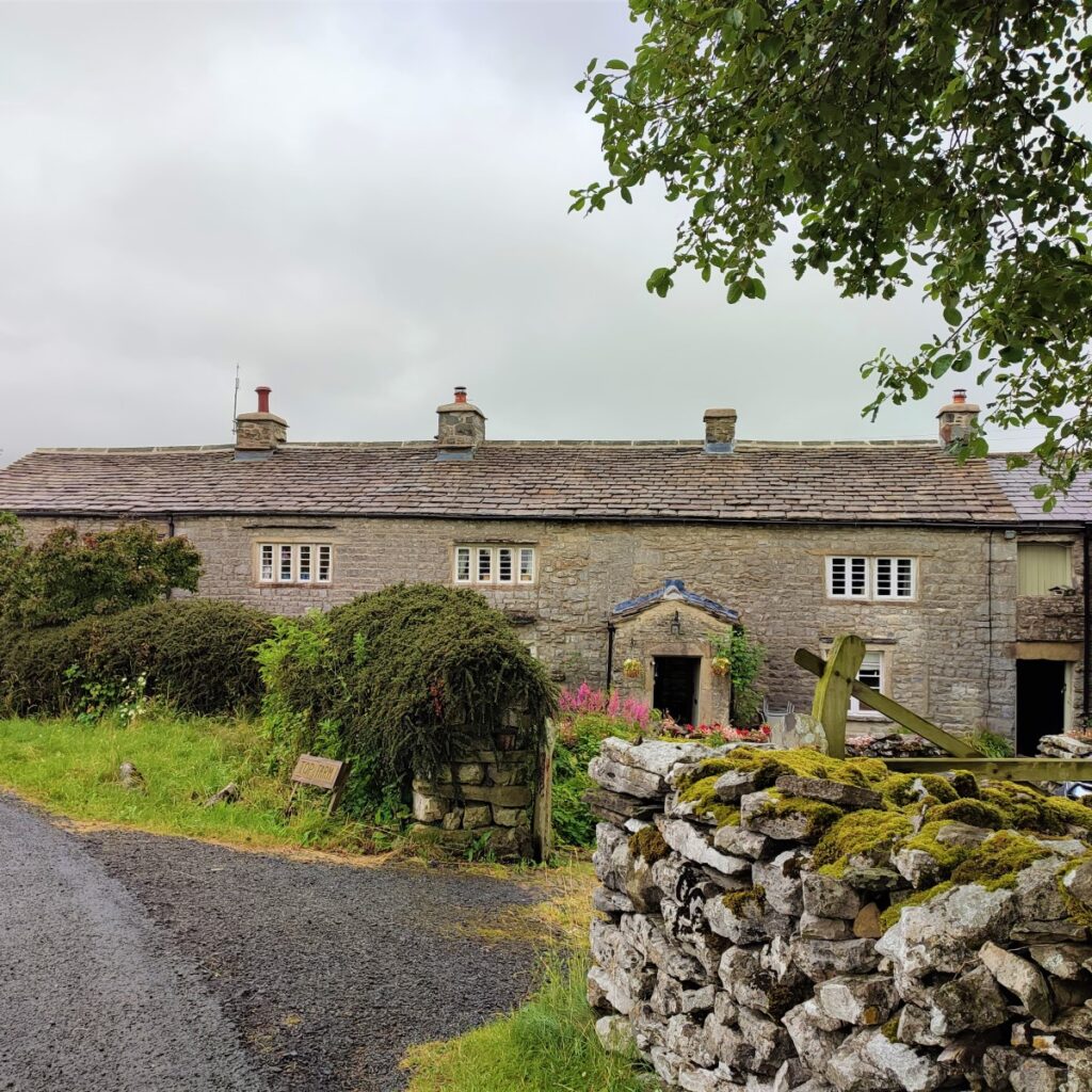
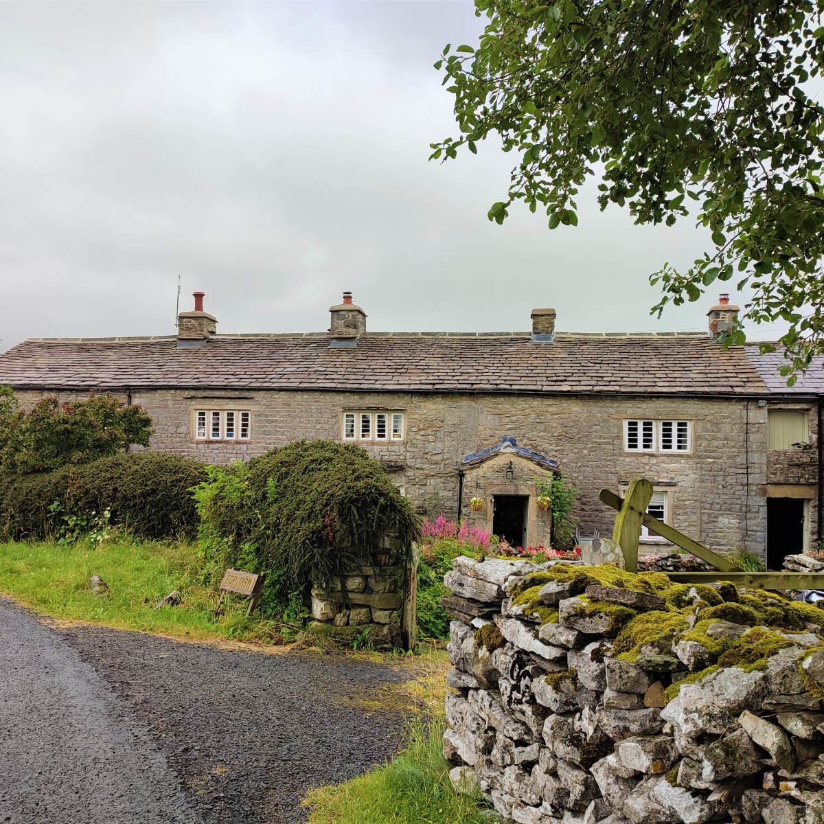
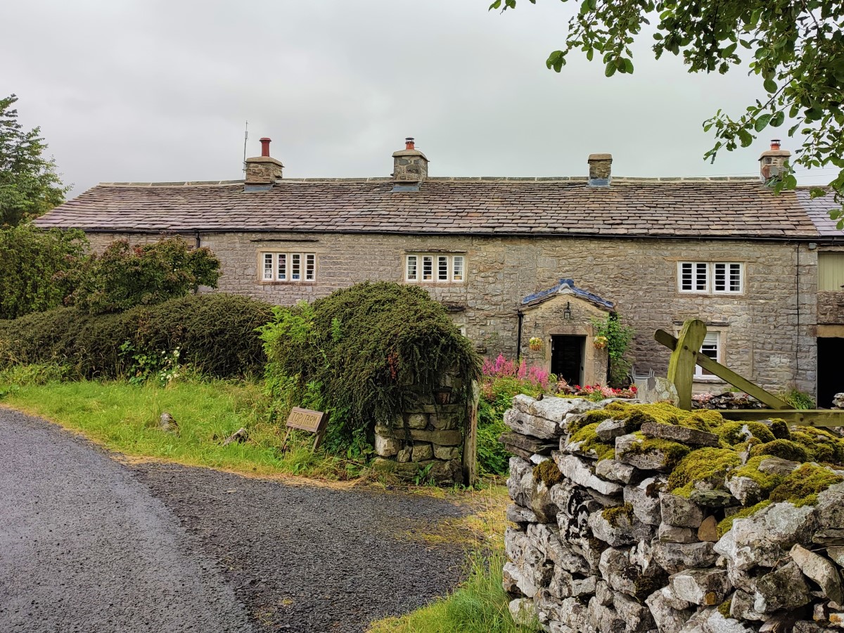
Slightly higher, and still to our left we see a complex of farm buildings which includes Beecroft Hall. This grade II listed building, parts of which date from the 17th century was once the seat of the Rectory Manor of Horton.
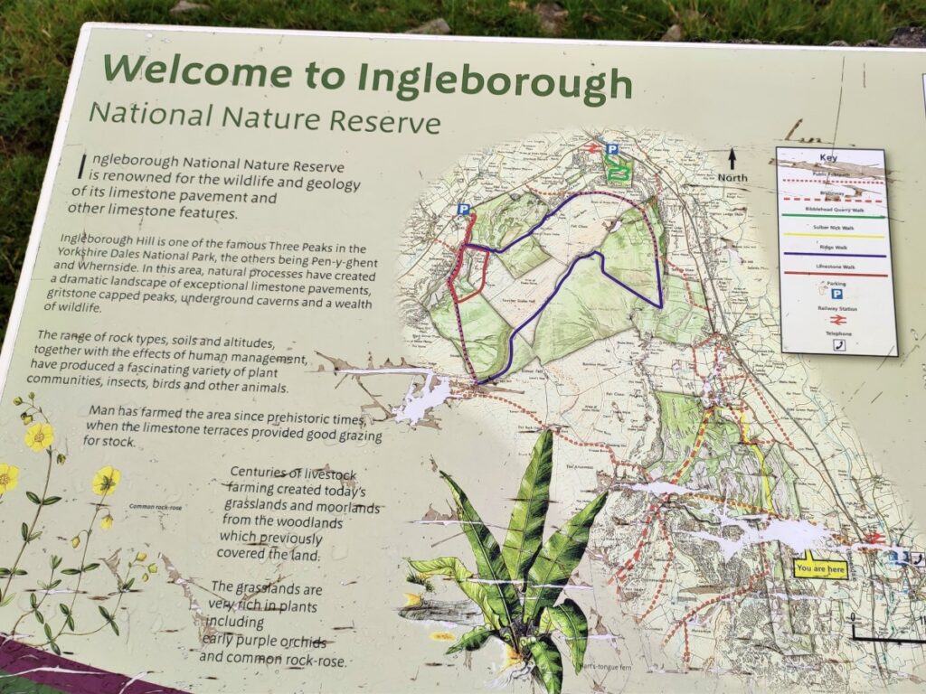
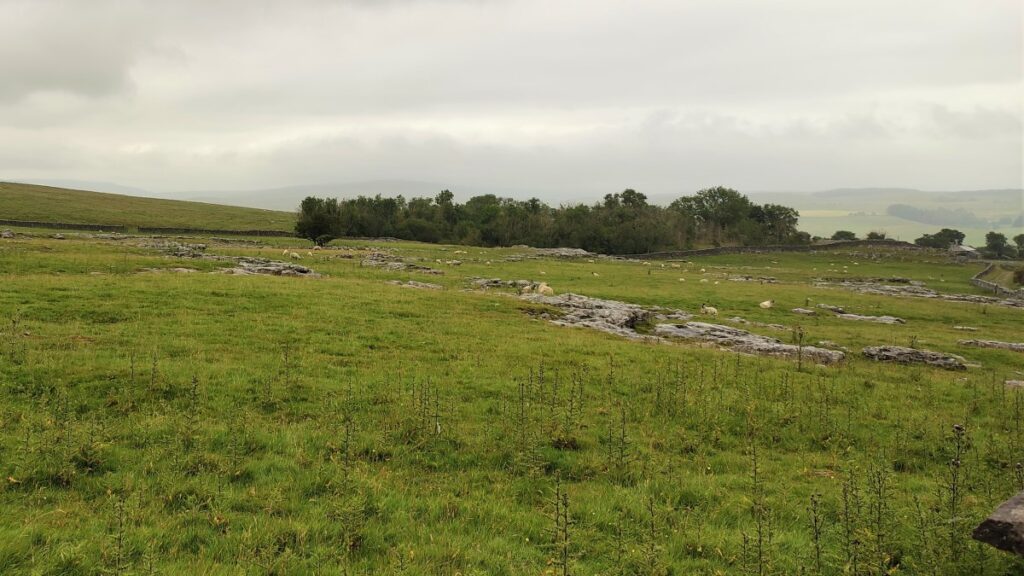
Our path crosses a farm track, and we continue Northwest toward limestone pavements and the entrance to the Ingleborough National Nature Reserve (INNR). This wonderful site is worth coming back to as a separate trip as there is so much to explore. It is managed by Natural England and is designated as both a Site of Special Scientific Interest (SSSI) and a Special Area of Conservation (SAC).
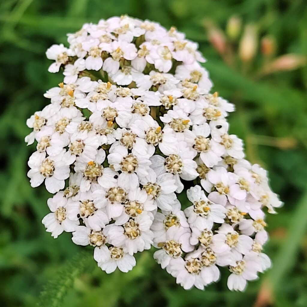
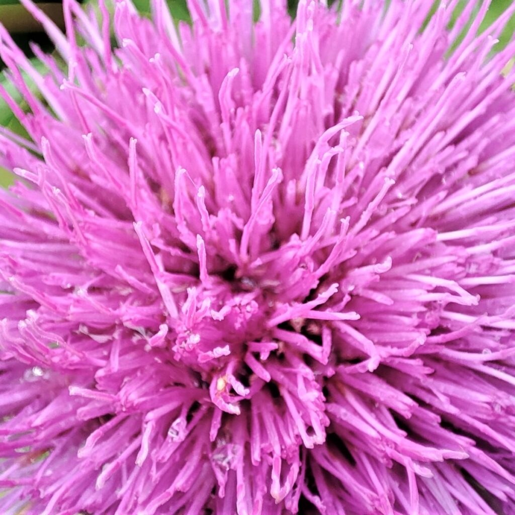
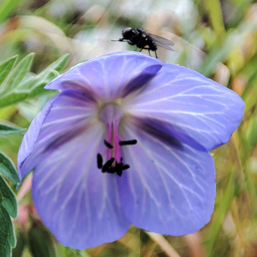
INNR is one of the best places to see a whole range of habitats and species, all which are strongly influenced by the underlying geology. Where limestone occurs close to or on the surface, species like Yorkshire primrose, bloody crane’s-bill, and common rock-rose thrive whilst on the outcrops juniper can be found. Elsewhere on deeper acid soils bilberry, cranberry, round-leaved sundew and bog asphodel have been noted.
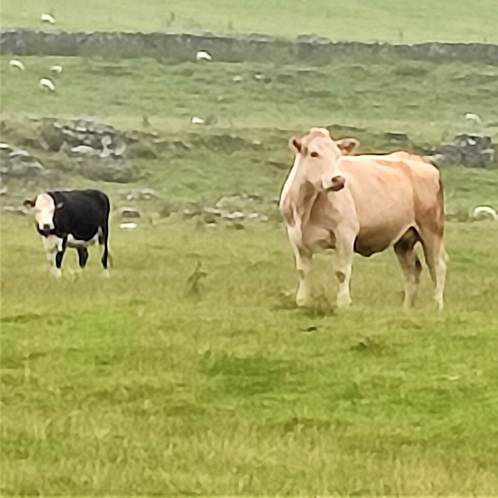
In addition to all this plant life there is of course a whole host of animal species which rely on these habitats, such as northern brown argus butterfly, curlew, roe deer and bats within the cave systems. Ingleborough NNR has also been an important site in the very successful Limestone Country Project. The benefits of grazing the limestone country habitats with traditional cattle breeds can be seen on this reserve thanks to the NNRs own cattle herd and dedicated farmers.
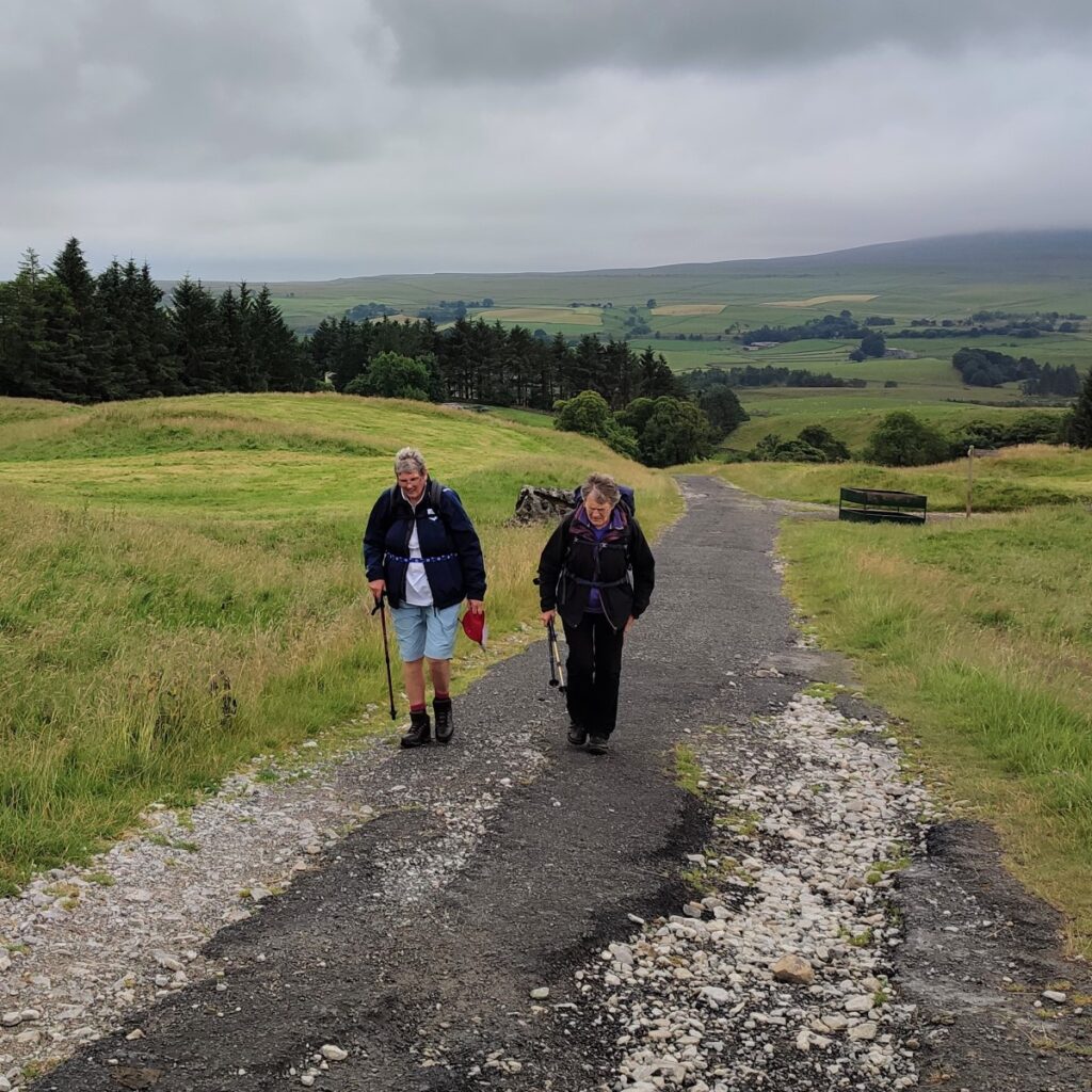
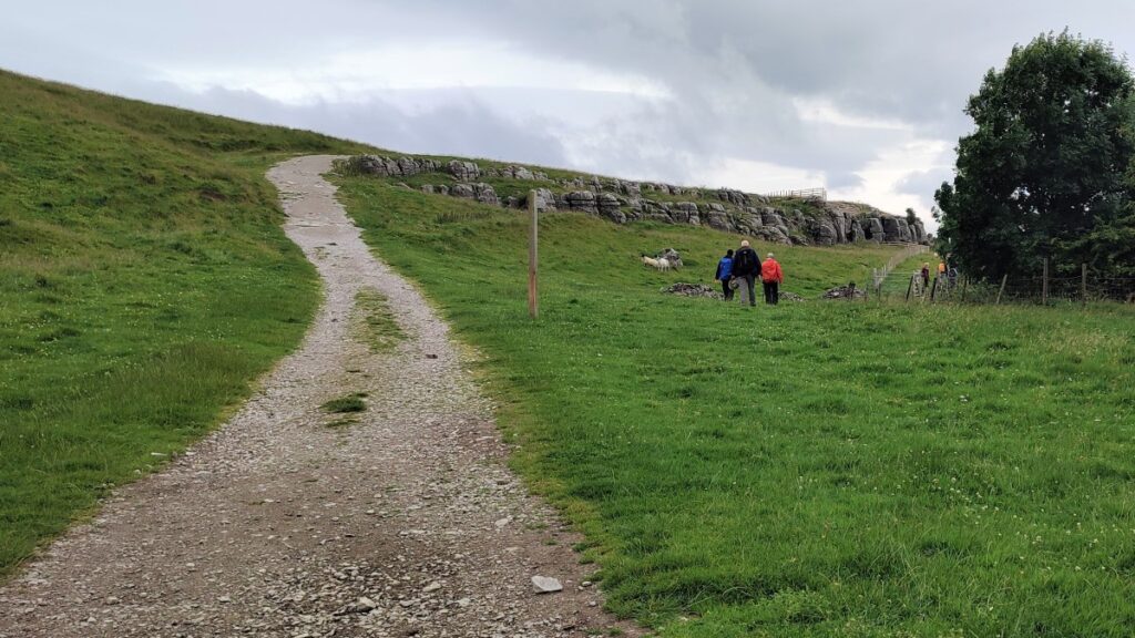
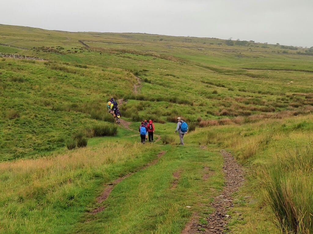
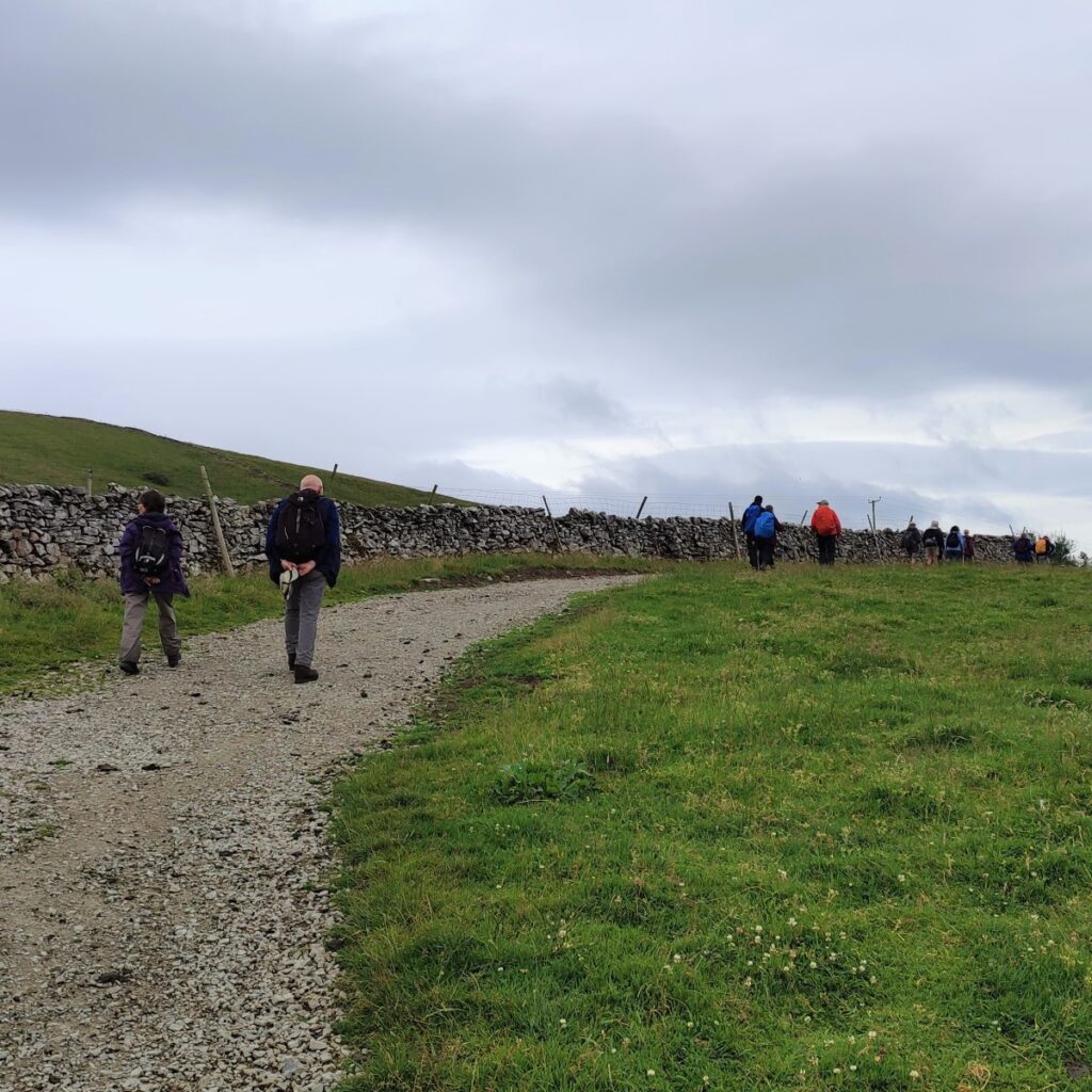
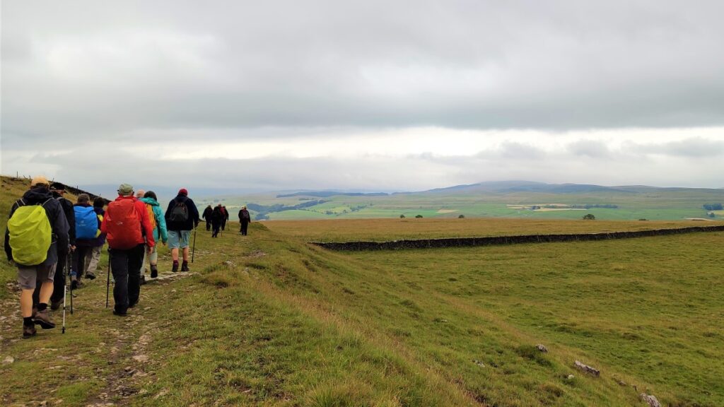
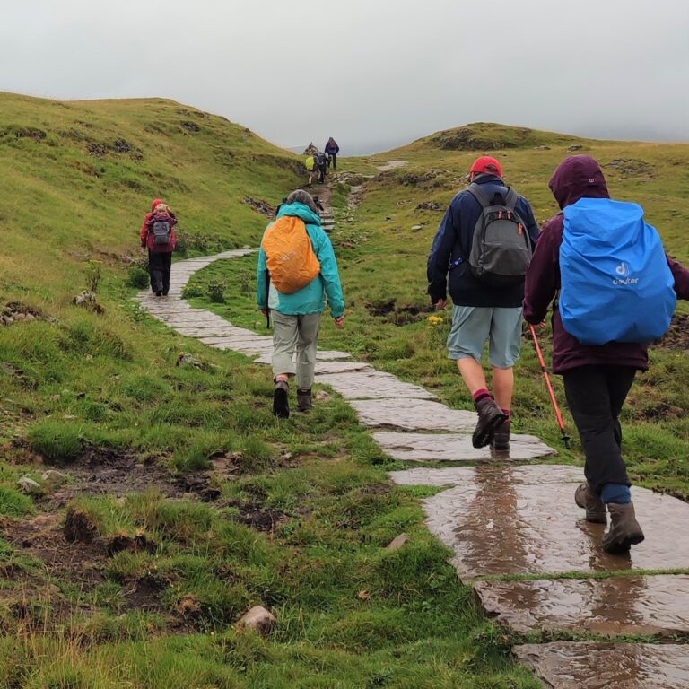
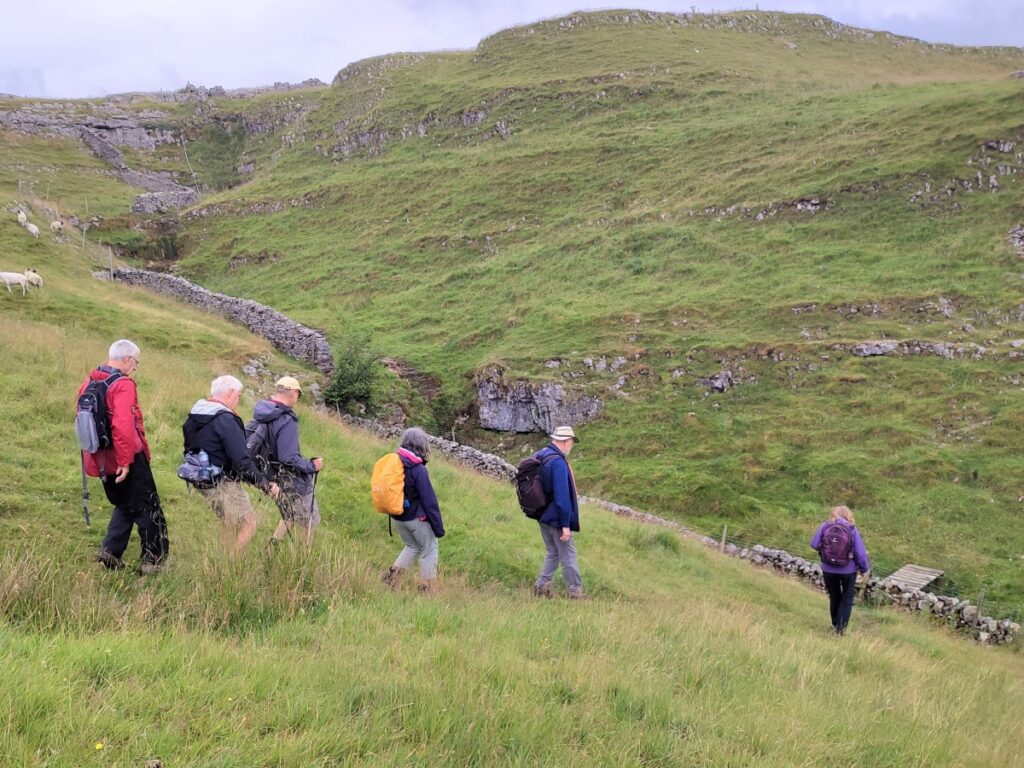
Having entered the reserve, the path toward Ingleborough through Sulber Nick is clear – with much of it hard paved to reduce erosion.
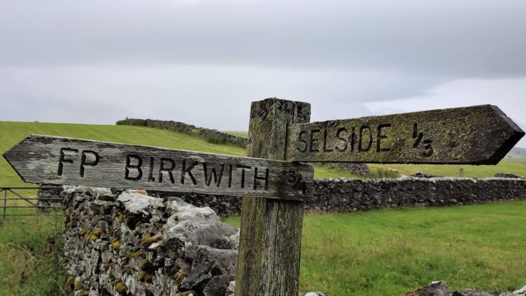
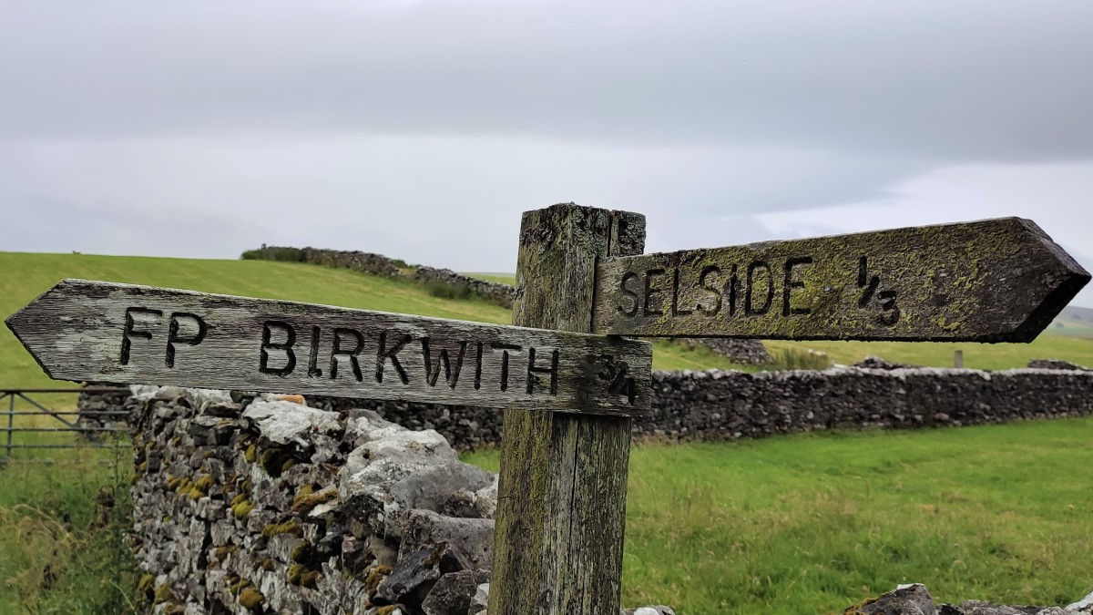
Sulber Nick is the name for the East-West aligned fault in the limestone above Horton. The fault allows water ingress into the limestone, and over Millenia, caverns and potholes have been carved out. These include Sulber Pot, and Nick Pot – both beyond where we turn off toward the North, and Alum Pot just above Selside, which we approach but do not visit on this walk.
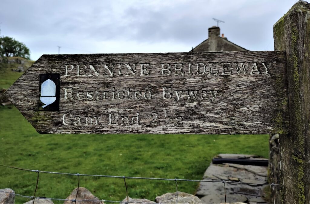
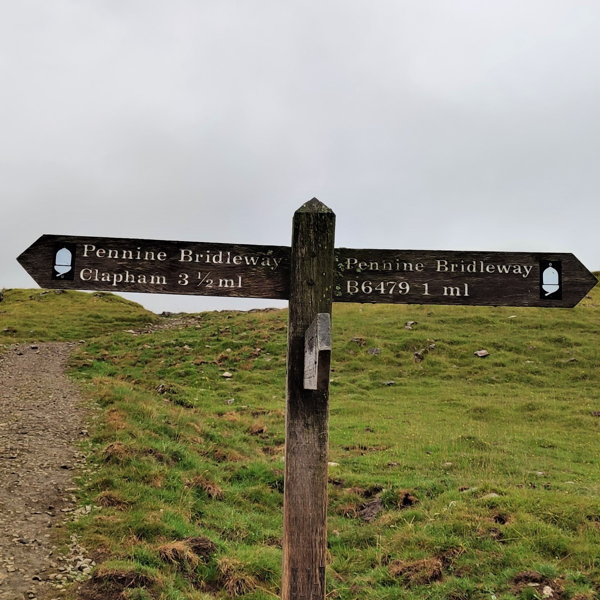
As we walk through Sulber Nick, we soon see a fingerpost ahead of us. Here we take the route to the right – which is the Pennine Bridleway heading toward the B6479.

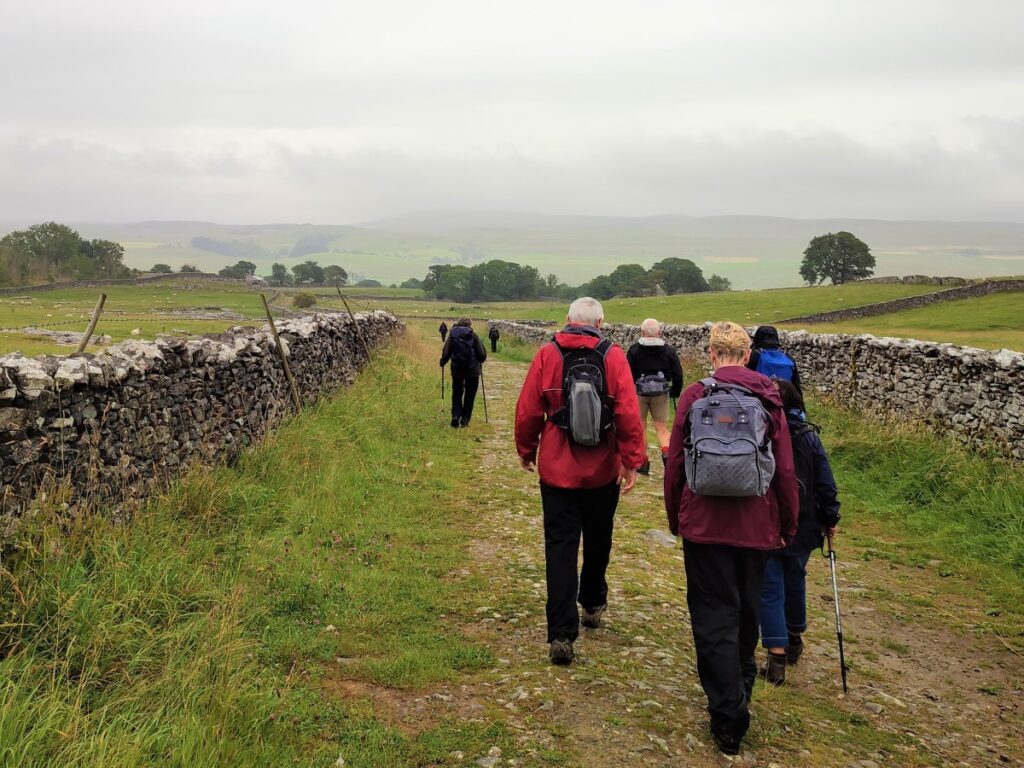
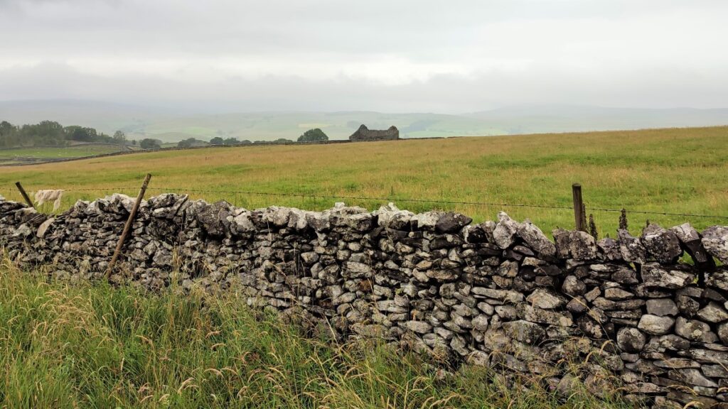
We now track North, initially along the contours, before heading downhill toward a stone wall. Beyond here the Bridle way turns sharp right, but we carry straight on – with a ladder stile clearly visible in the distance.
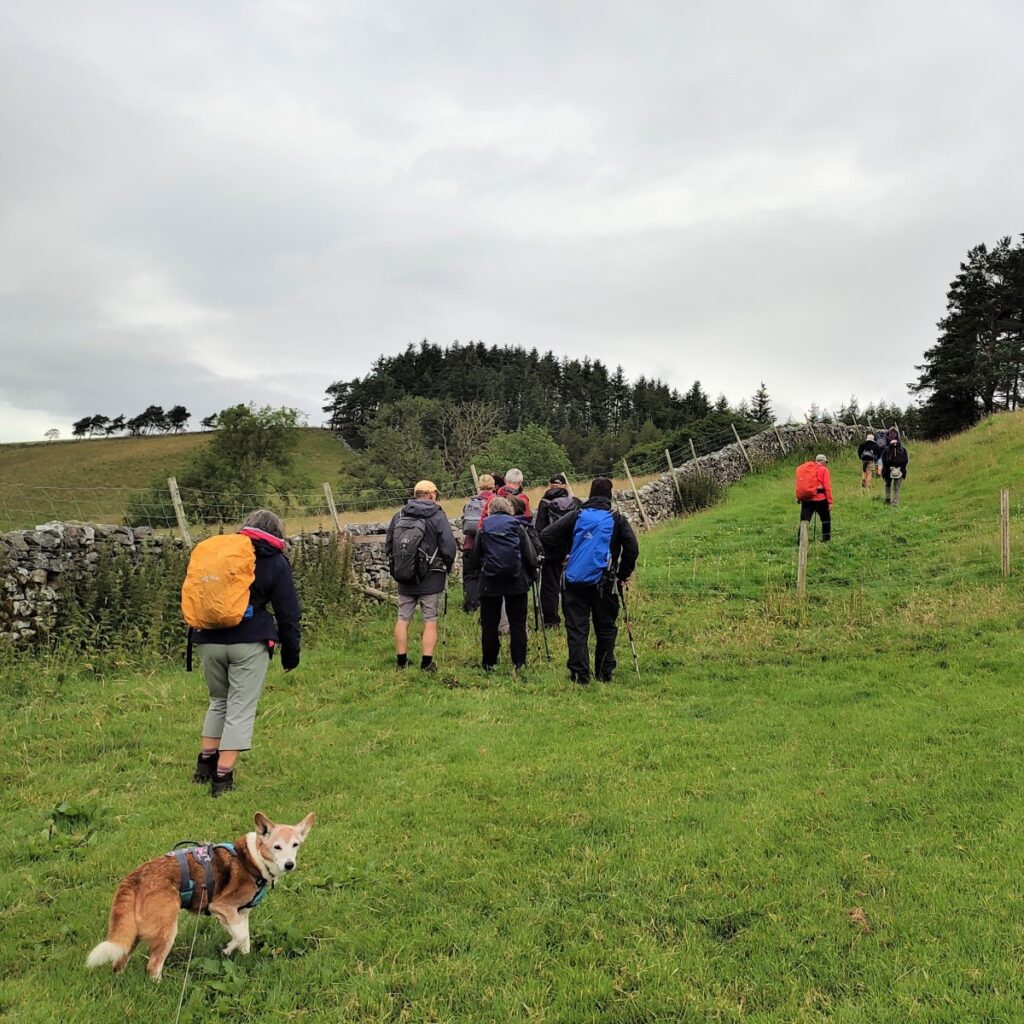
We cross a couple of fields before picking up a track which becomes an enclosed green lane which we follow for a short while.
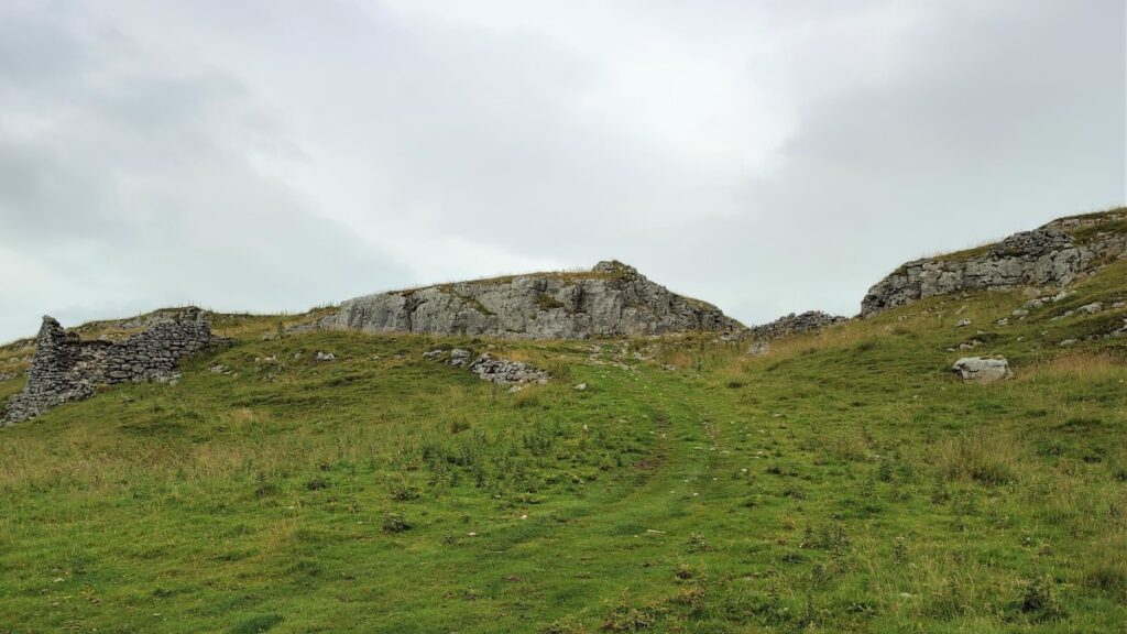
The green lane comes to a sharp right turn, which we take, but before we do, notice the entrance to Alum Pot at the corner.
Alum Pot is a dramatic open hole and is on private land; a small payment is required at Selside Farm before a walk of around 1km on a good path takes you to the entrance. The shaft is surrounded by a wall to prevent sheep, or people, falling down the 70m deep pothole. The best view can be found where a stream crosses the path and falls into Alum Pot.
Underground Alum Pot connects with Diccan Pot and Long Churns cave – the latter is one of the most popular beginner caving trips in the Yorkshire Dales. There is a superb stream passage that can be explored with climbs and pools, and the famous squeeze called the ‘Cheese press’.
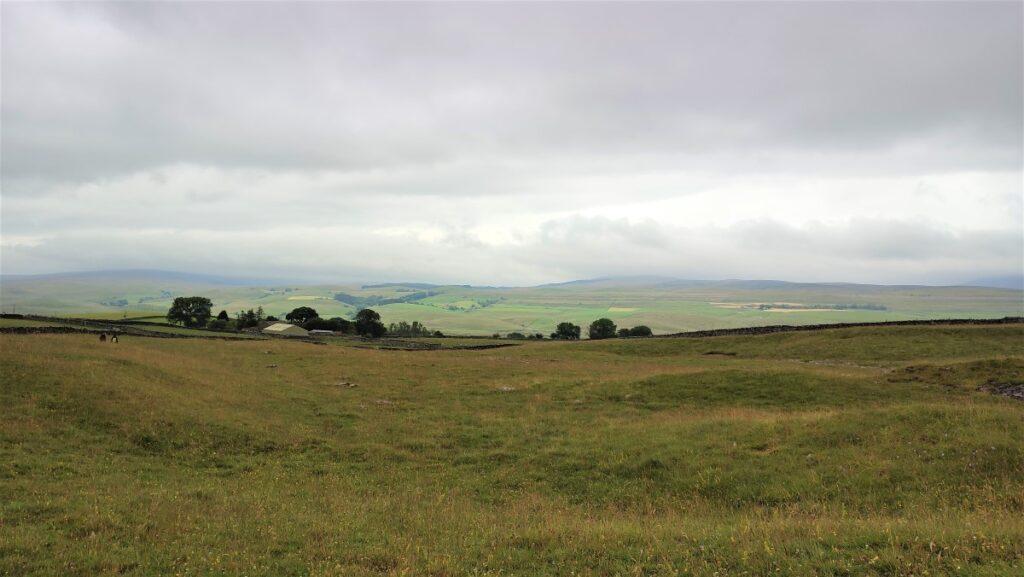
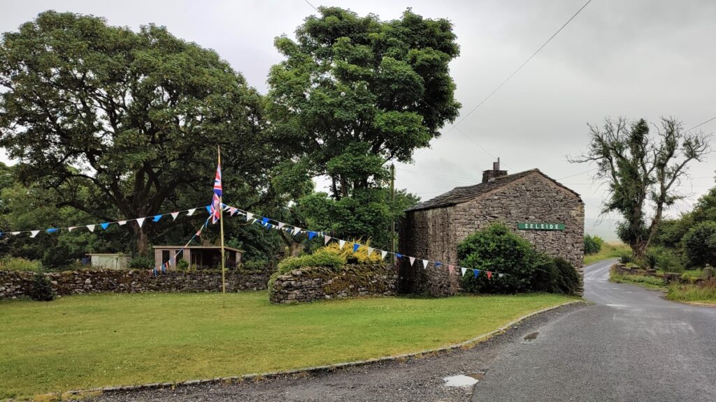
Safely above ground, and with good views of both Ingleborough and Pen-y-Ghent, we follow the lane down to the road (B6479) at Selside, where we turn right, walking along the road for a short while. As we arrive at the village green, we head left down a lane which takes us under the railway – this is the Settle to Carlisle line, so sight of a steam train is not beyond the bounds of possibility.
We pass a farm on our left and the track veers right as we skirt Hornsey Hill.
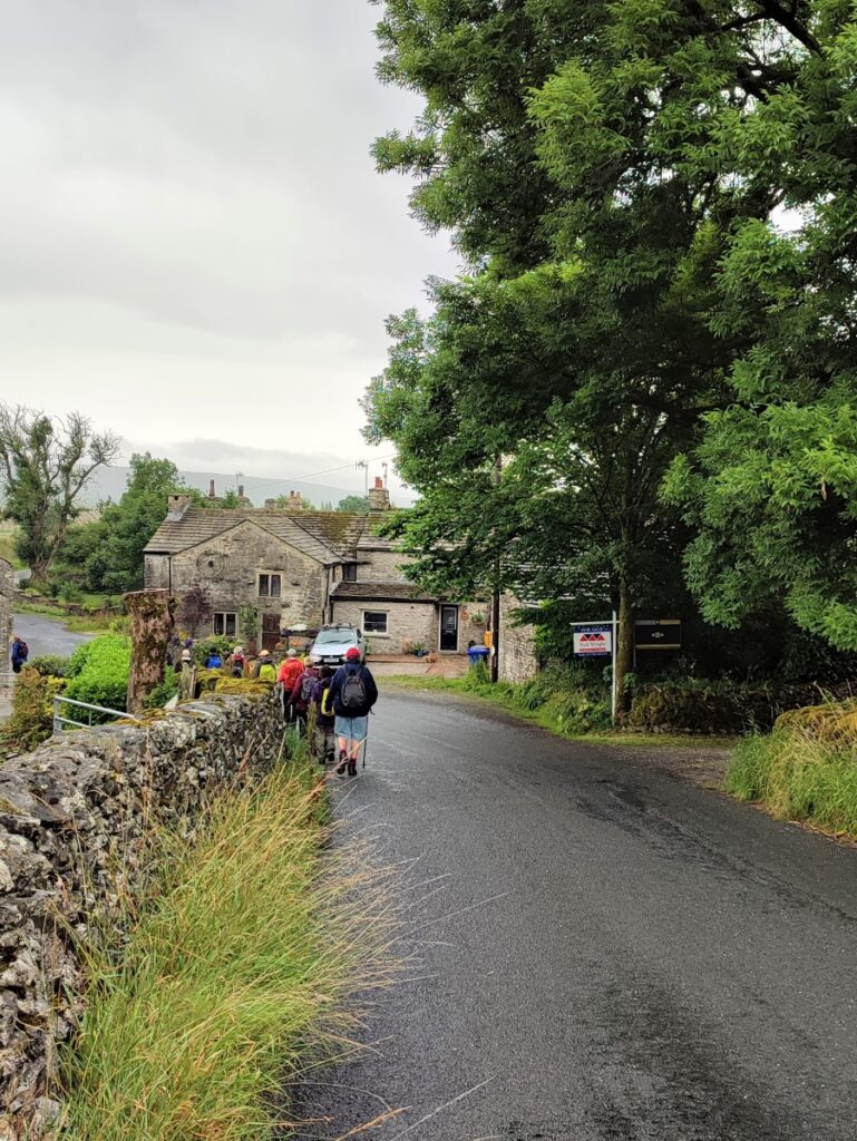
The path then leaves the lane. Our route is clearly signposted for Birkwith.
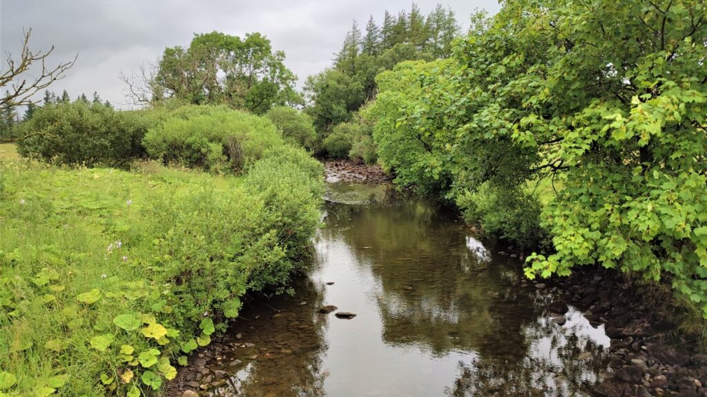
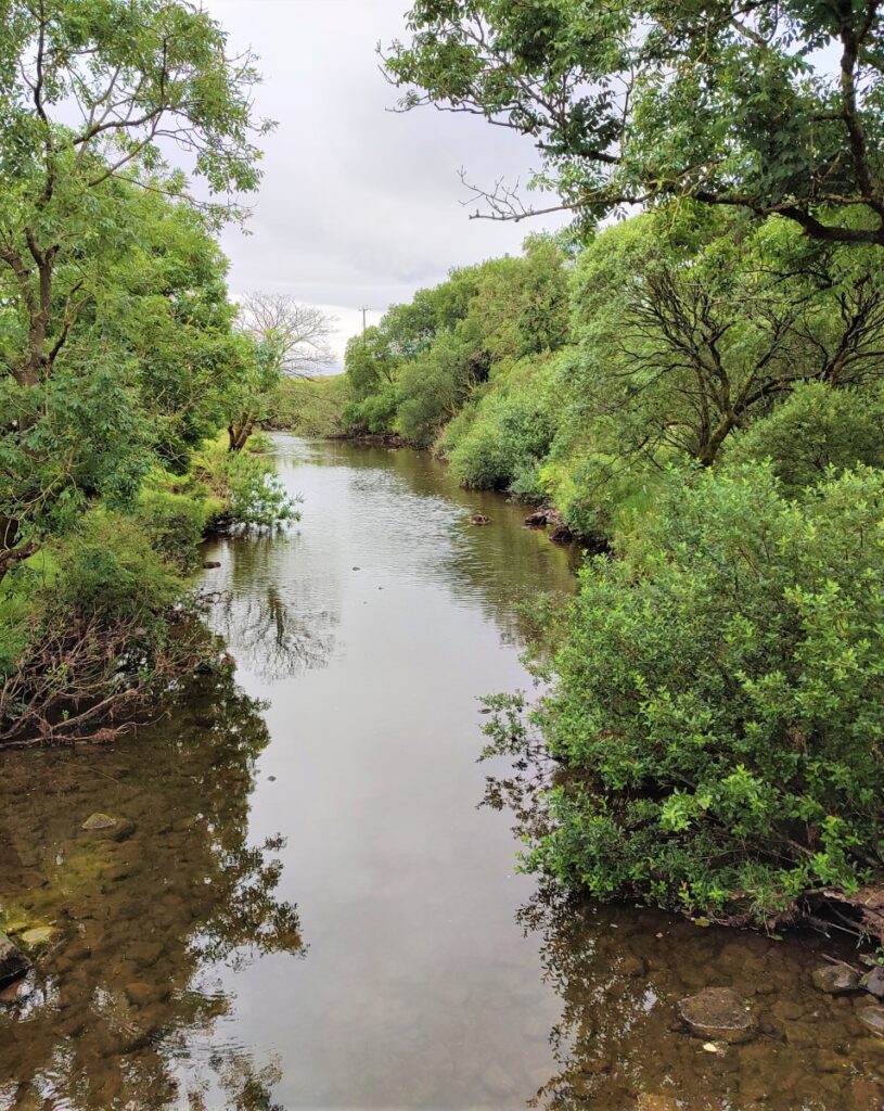
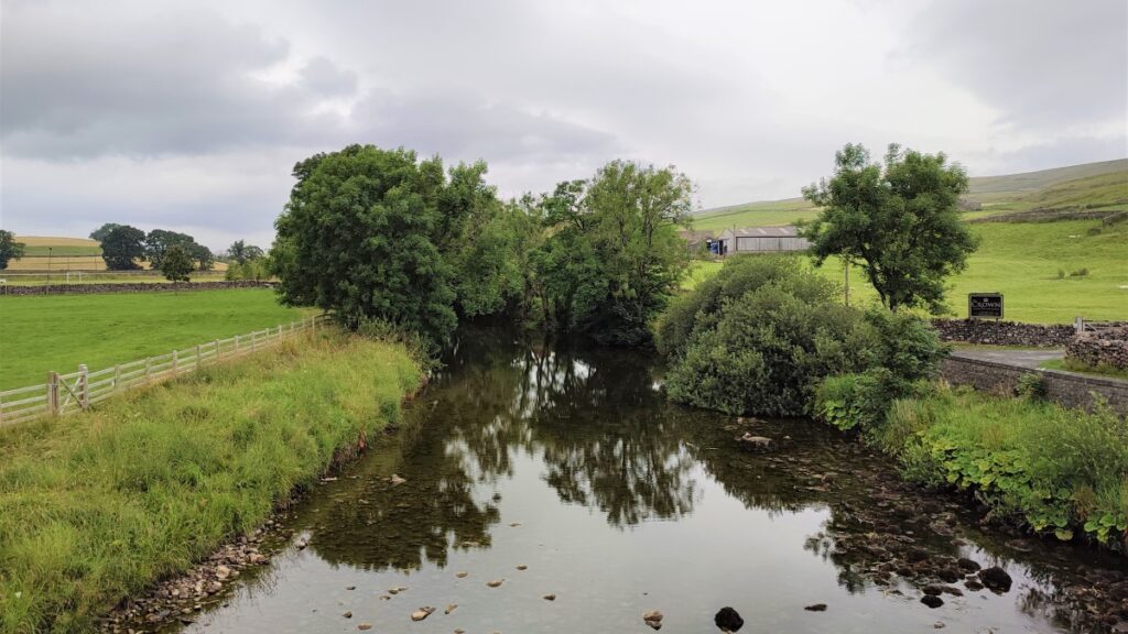
The footpath takes us round to a footbridge over a smallish river. This is in the upper reaches of the River Ribble – it seems surprising that it gets so much bigger in the relatively short distance down toward Settle and beyond.
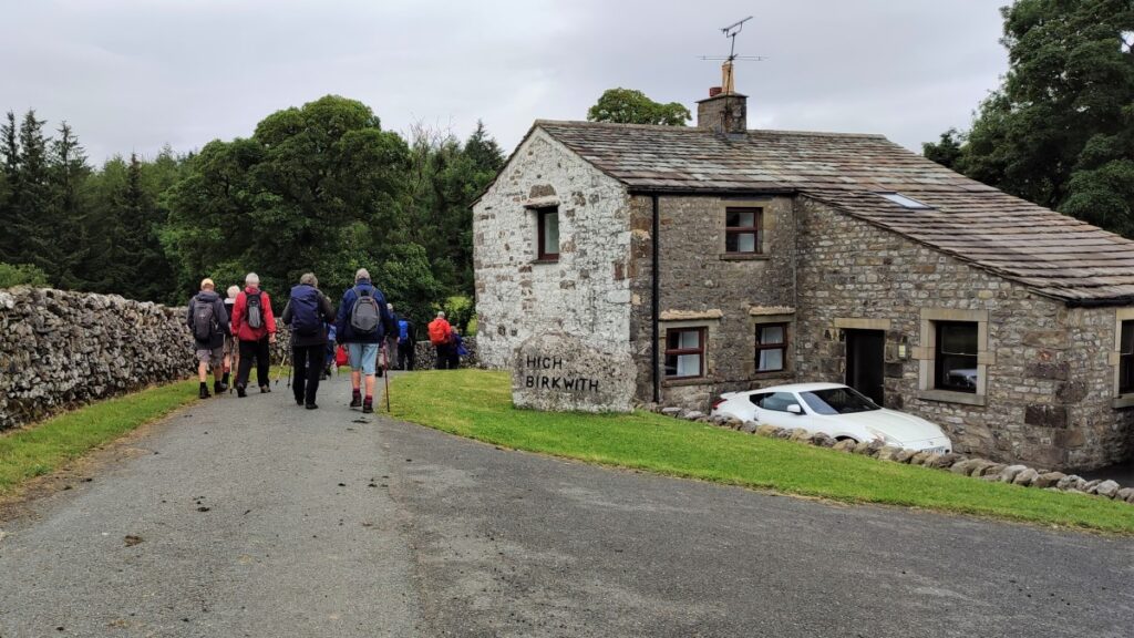
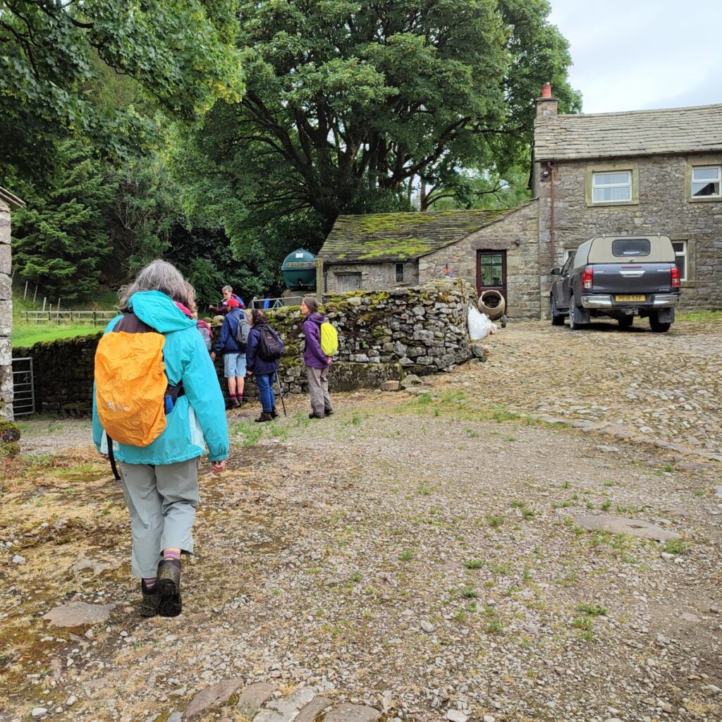
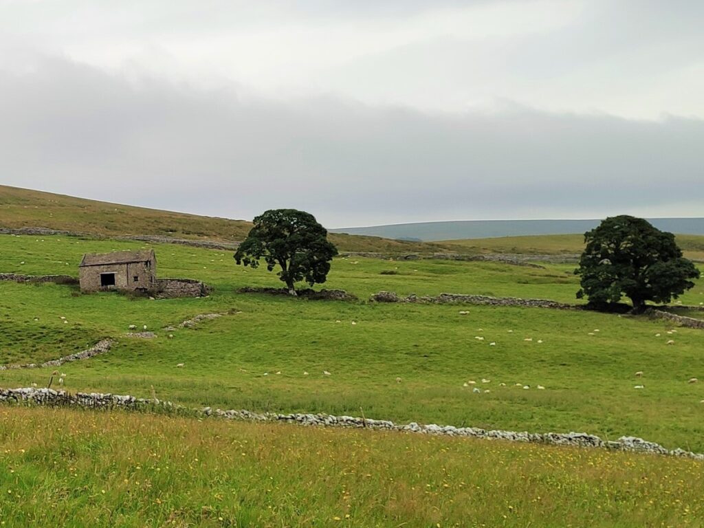
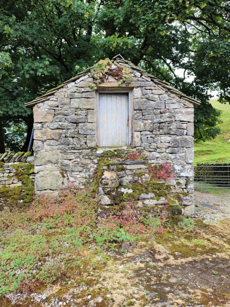
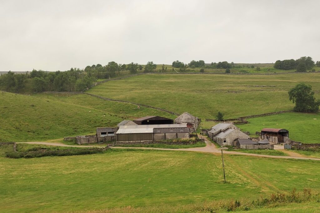
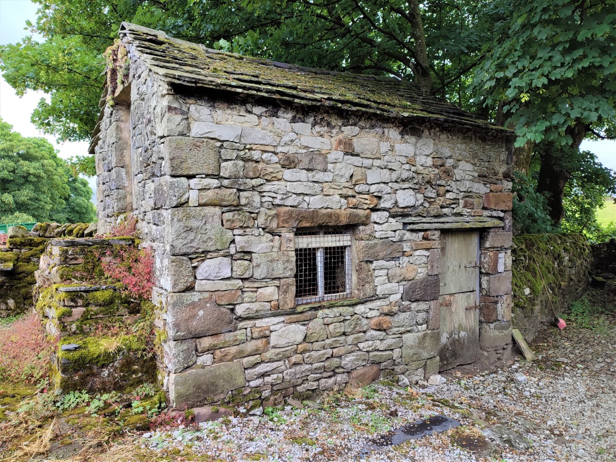
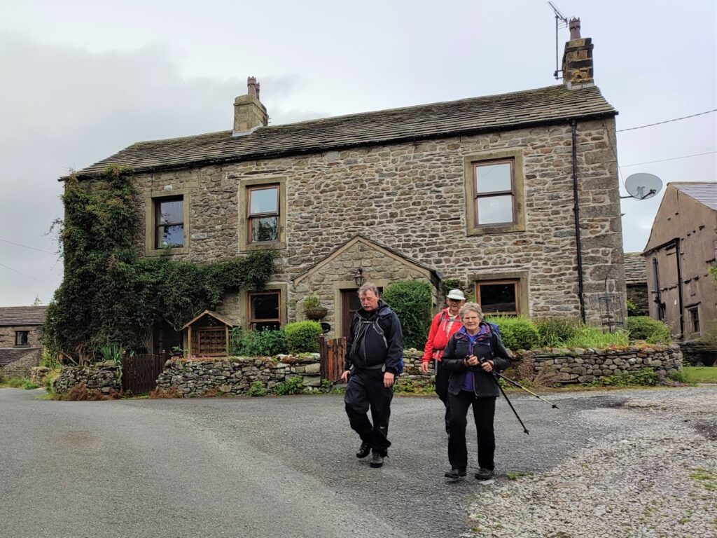
We cross a second much smaller footbridge, and the path now follows Coppy Beck Northeast toward a farm at High Birkwith. We arrive just in front of the farmhouse, at a very attractive two story outbuilding, and see our path continue opposite, along the line of the beck.
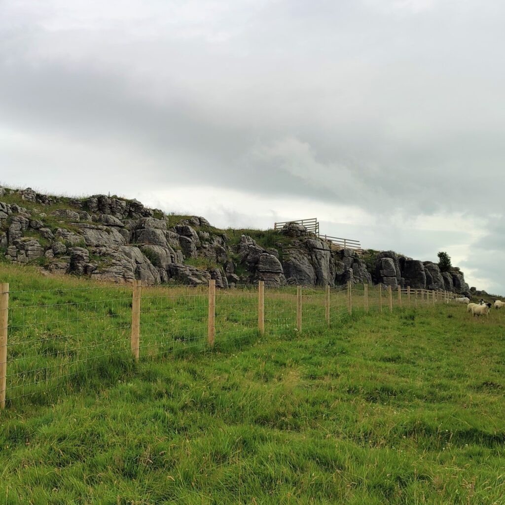
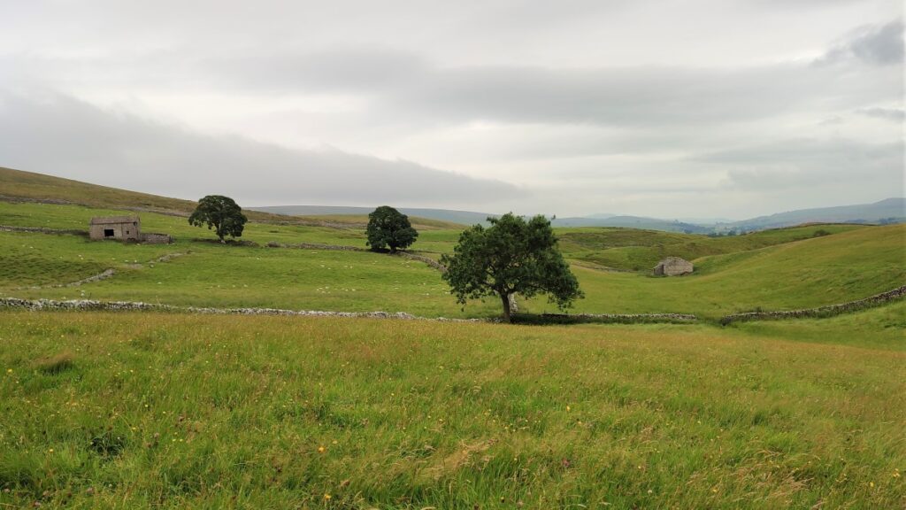
Beyond the farm, there are a series of limestone outcrops which provide a good place for a lunch break.
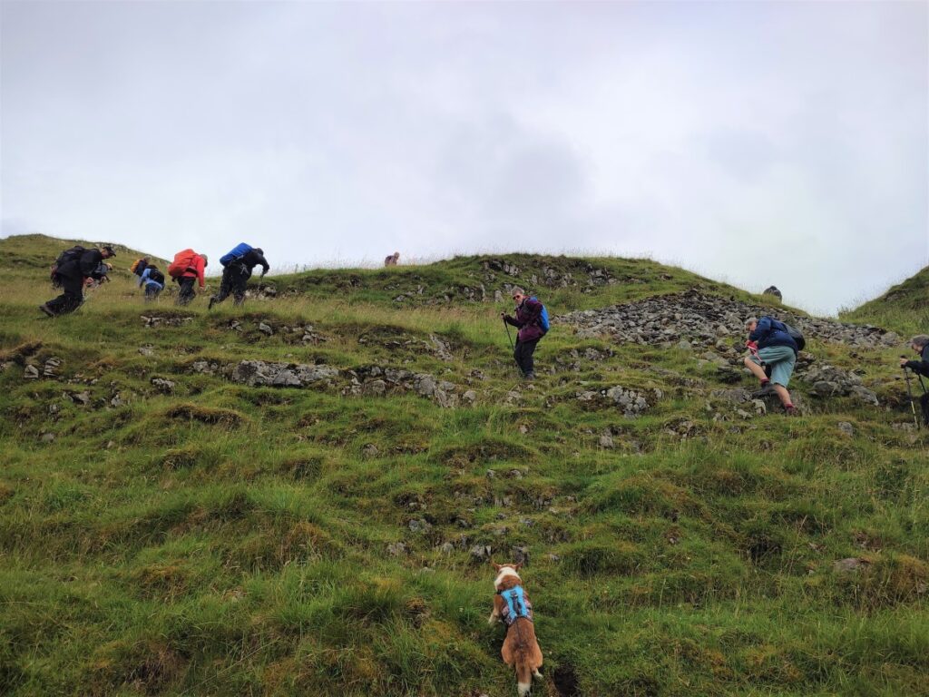
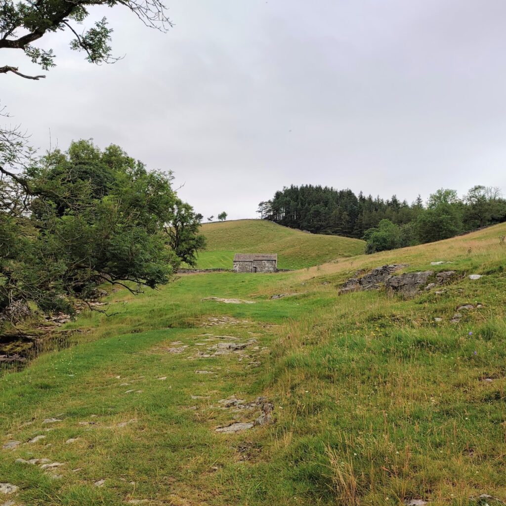
We now head uphill toward a stand of trees. The path goes through this small area of woodland and then continues over a stile, we continue uphill following way marker poles which lead us to the farm at High Birkwith.
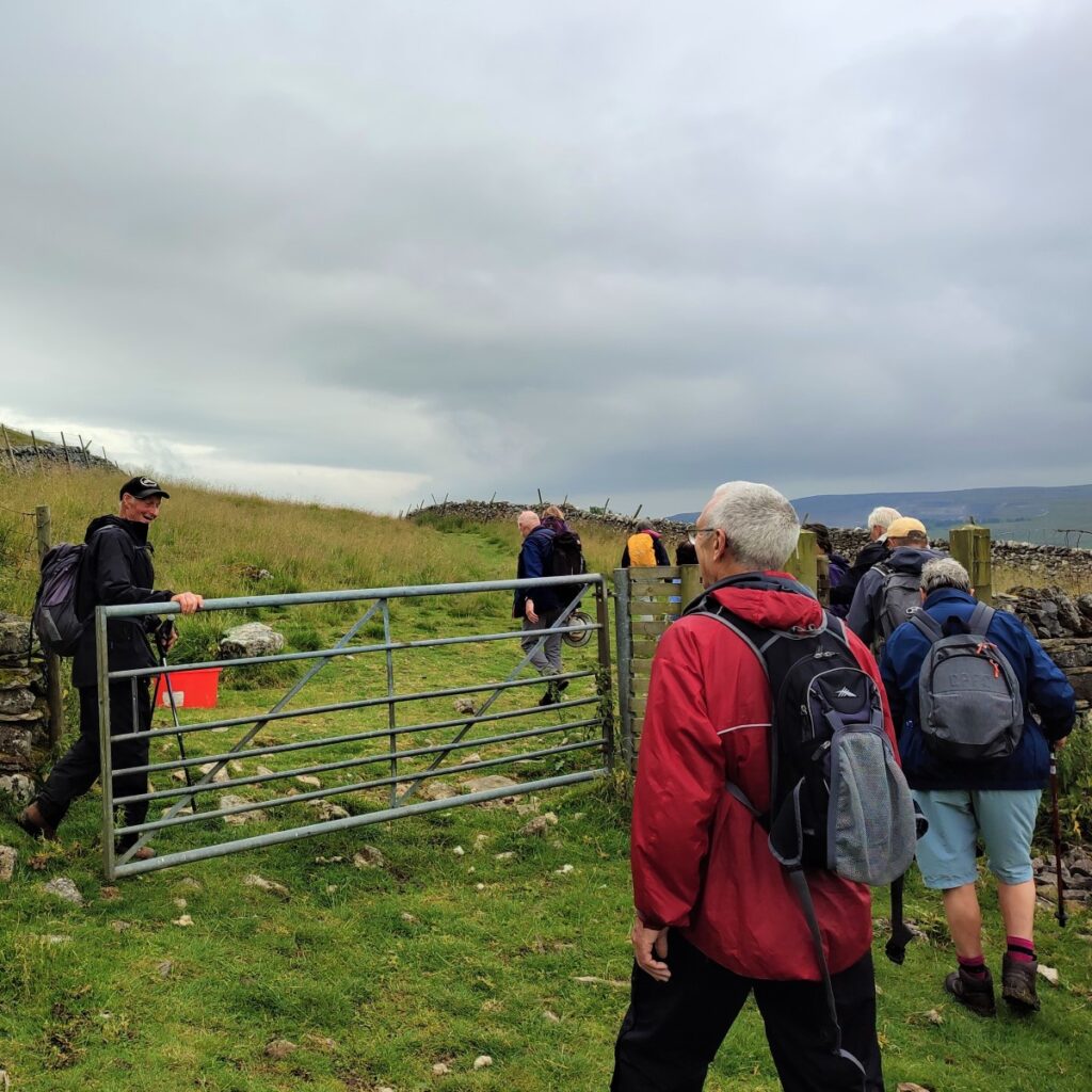
At the farm we turn left, pass the farm on our right, go through a gate, and then start to head steeply uphill, on a road that soon degenerates to a rough track. At this point we are back on the Pennine Bridleway.
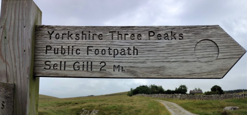
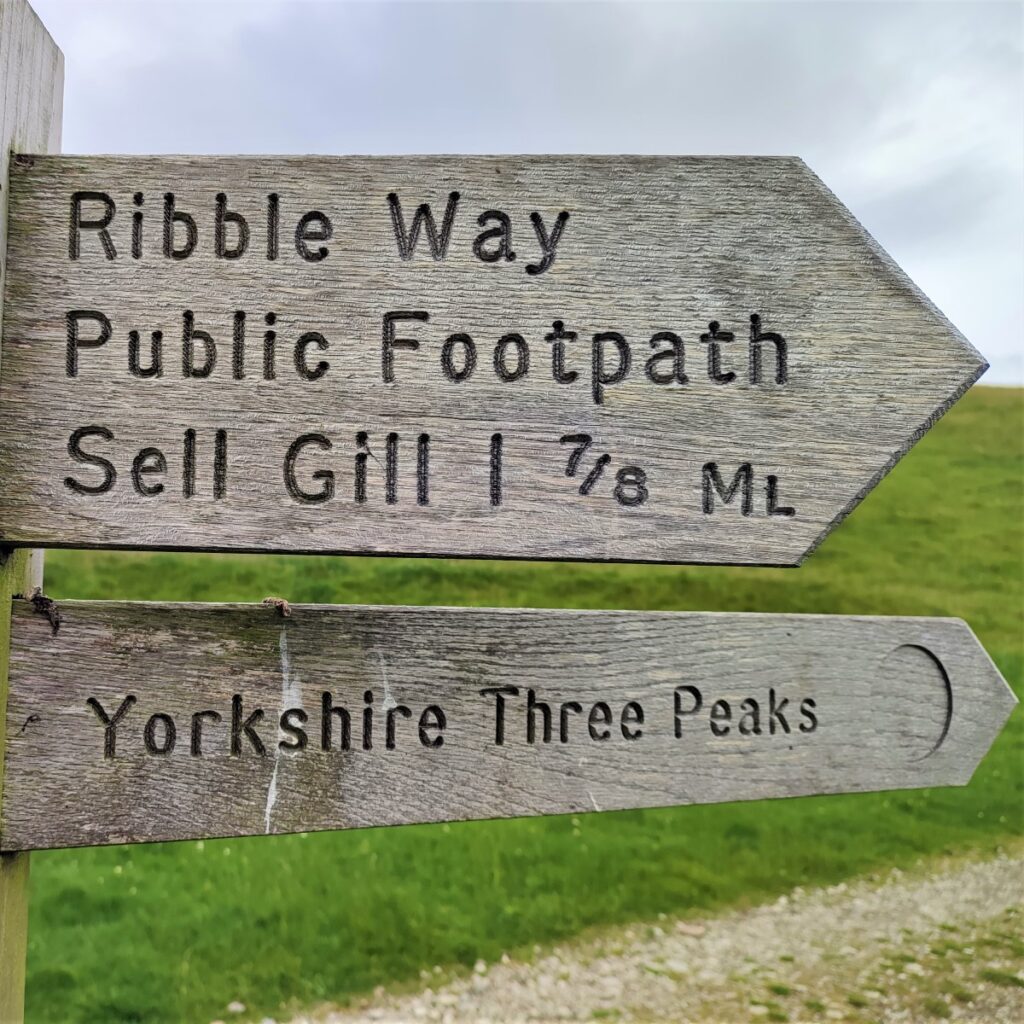
As we head uphill we see a clear path leaving on the left – don’t be tempted to take this – we stay on the uphill route until we see a finger post for the path to Sell Gill.
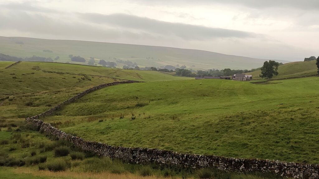
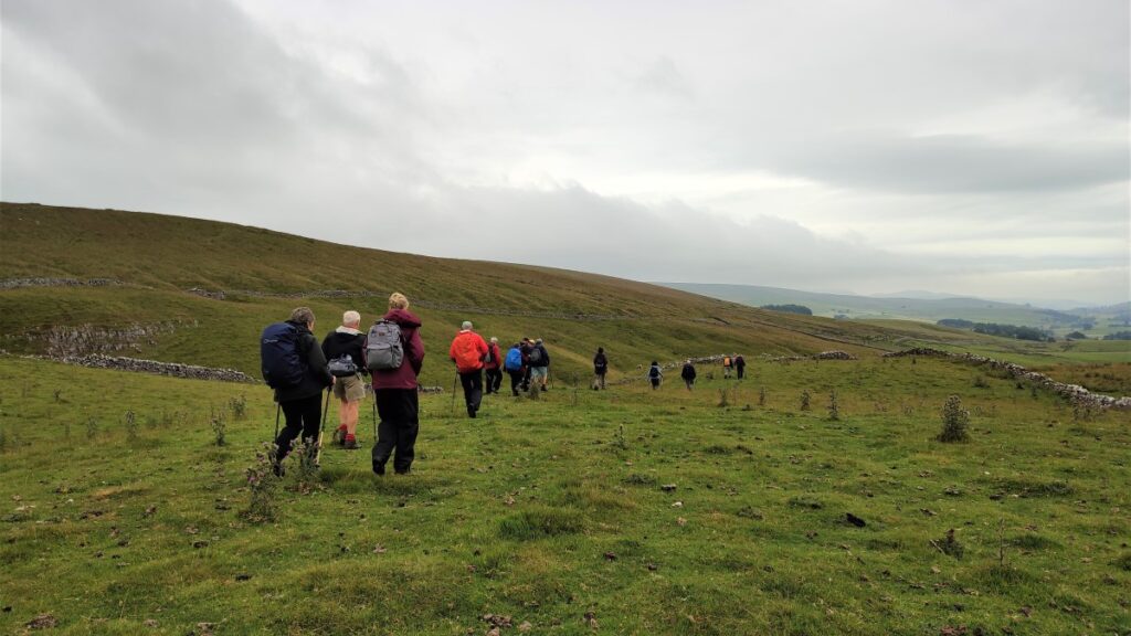
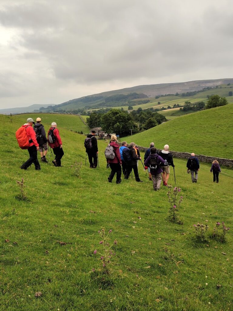
This takes us sharply back on ourselves, at the rather wonderfully named Dismal Hill, to a stile over a wall beyond which the path forks. The upper route looks more inviting, but we take the lower path which tracks the contours along the side of Horton Moor. We are now heading consistently South, and back toward Horton.
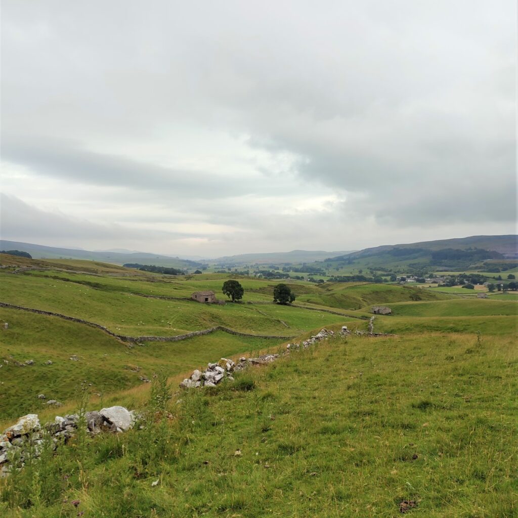
The path we are now on is part of the Ribble Way, so the route should be clear. Initially it is easy walking, just below an attractive scar with great views over the Ribble valley toward Ingleborough. We soon arrive at a steep cut where a beck has carved a valley which we need to cross.
The route down is clear, and a bridge is provided. The route back up on the far side is less obvious so be prepared for a little bit of a scramble.
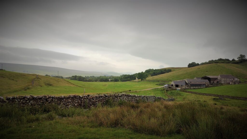
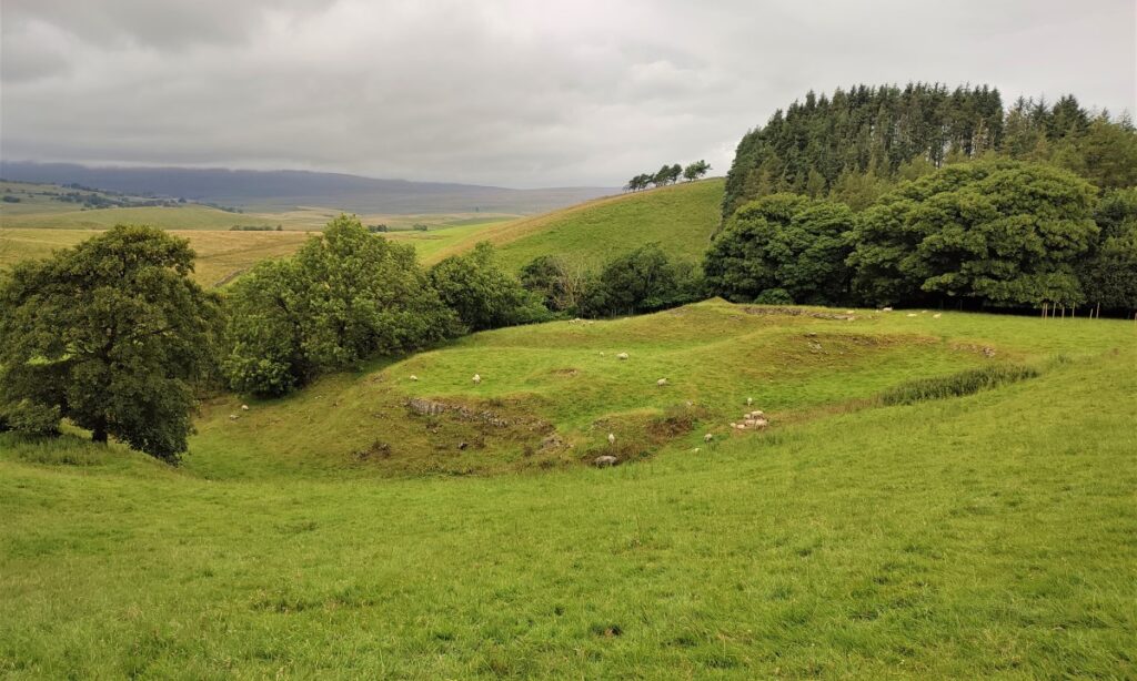
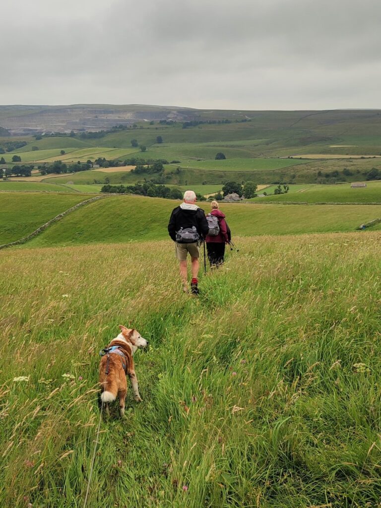
Having crested the far side of the valley, the route becomes easy again, and relatively flat. We track along the contours for a while now, passing the remains of a Lime Kiln on the left, and a path down toward the Ribble on the right. We ignore this and carry on through a couple of fields until we arrive at a dilapidated farm building in the corner of a field.
There are options to both the right and left here, but we carry straight on in a consistently Southerly direction. Over to the left (though not visible) is Bull Pot, which features in another BFG walk.
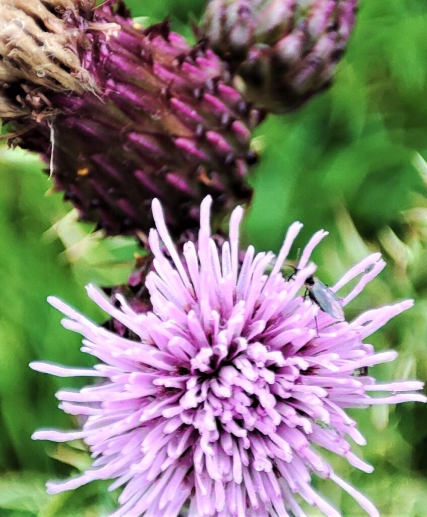
We cross a couple of fields with rough pasture and grazing sheep before we arrive at a very attractive wildflower meadow, where (in single file to minimize damage) we cross to a second meadow on the way down to a gate onto rougher pasture.
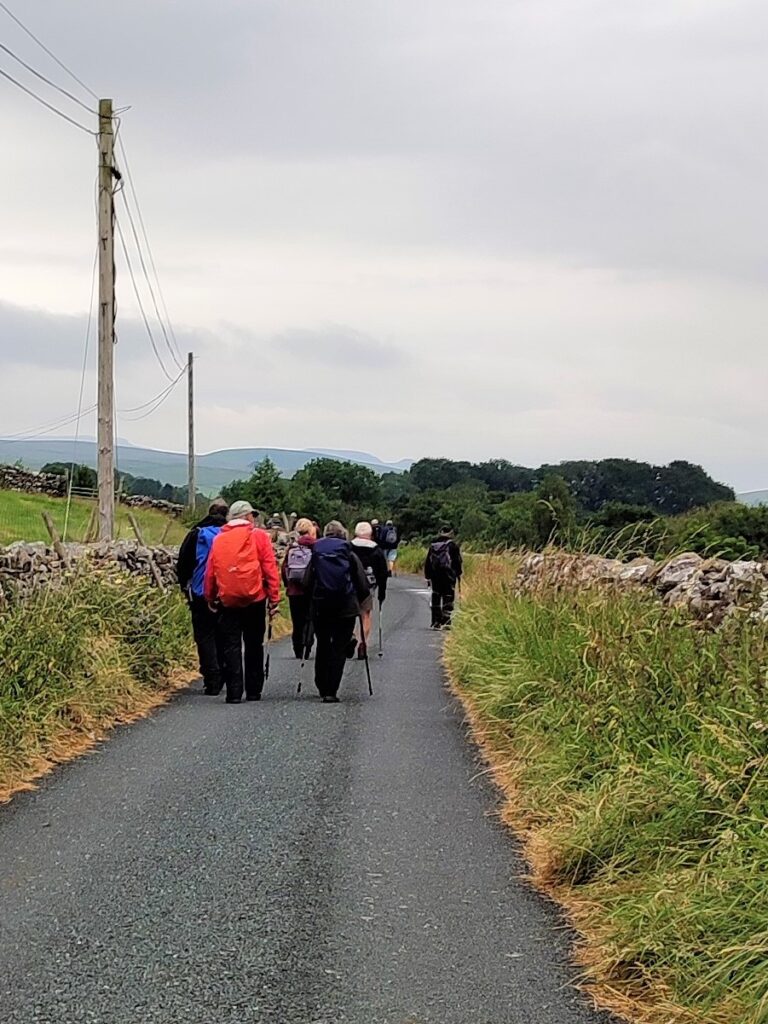
Below, we see a farm track and we head down to that to turn left, through the farmyard and onto a minor road at a hamlet referred to as New Houses.
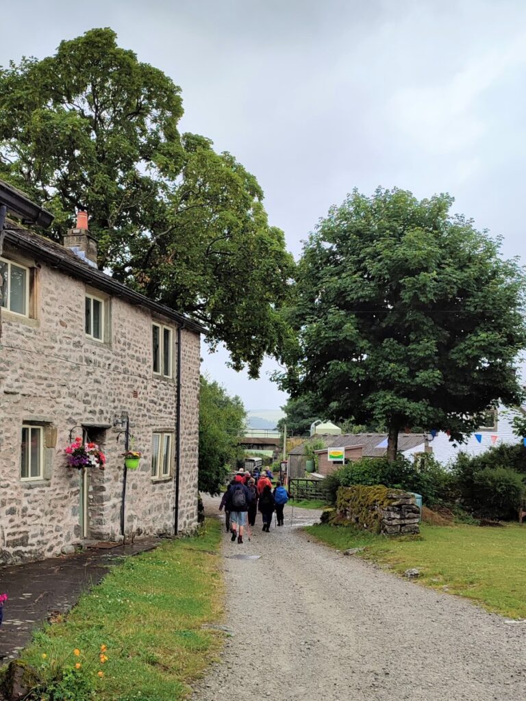
The road here is same one we saw at High Birkwith (which is to the right). We take left and follow the lane gently downhill to Horton. We arrive back in Horton at The Crown pub where we cross the bridge to return to the field where we collect the cars.
- Total distance 15.5 km (9.6 miles)
- Total Ascent 454m
- Challenging walk