Horton-in-Ribblesdale tends to be known for two things:
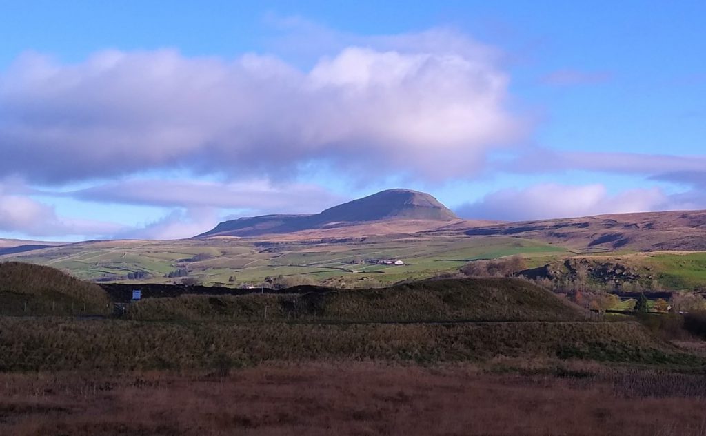
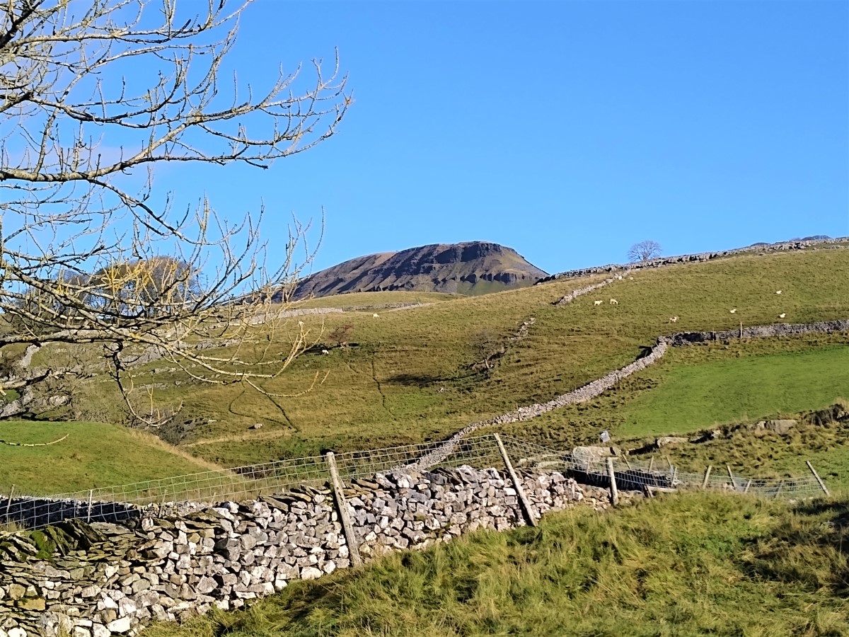
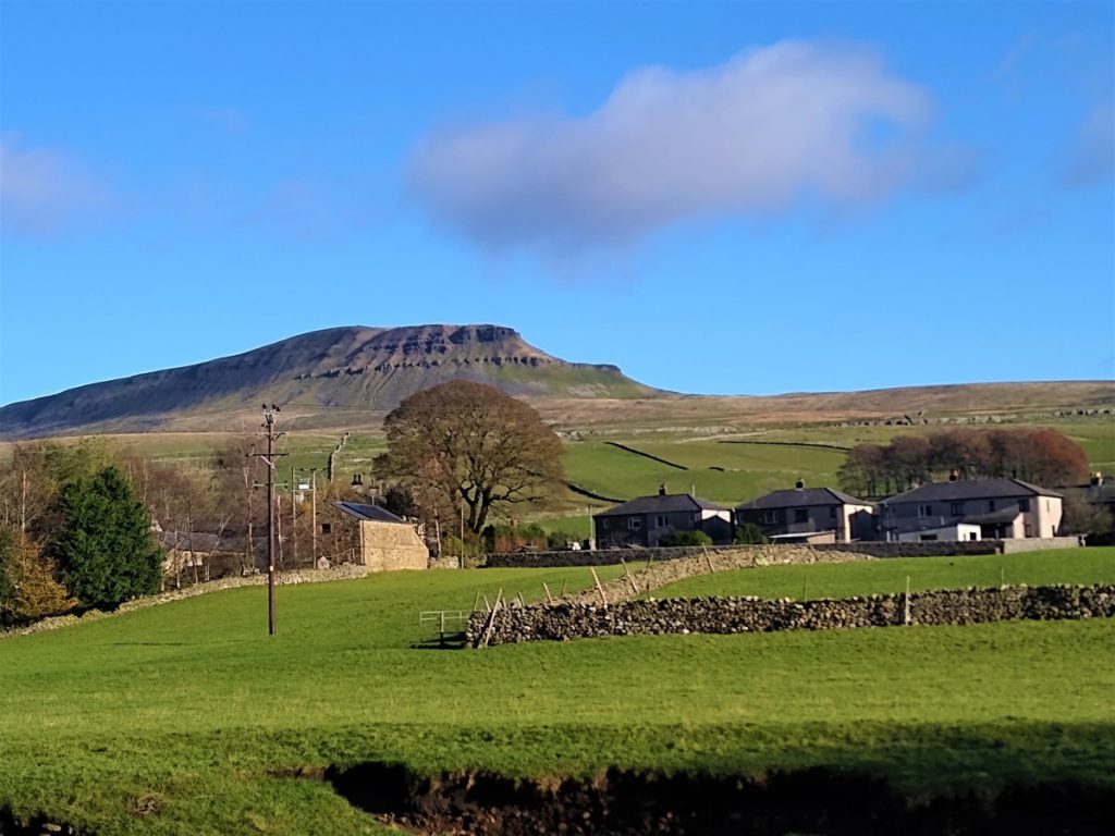
The first of the Yorkshire Three Peaks – Pen-y-Ghent
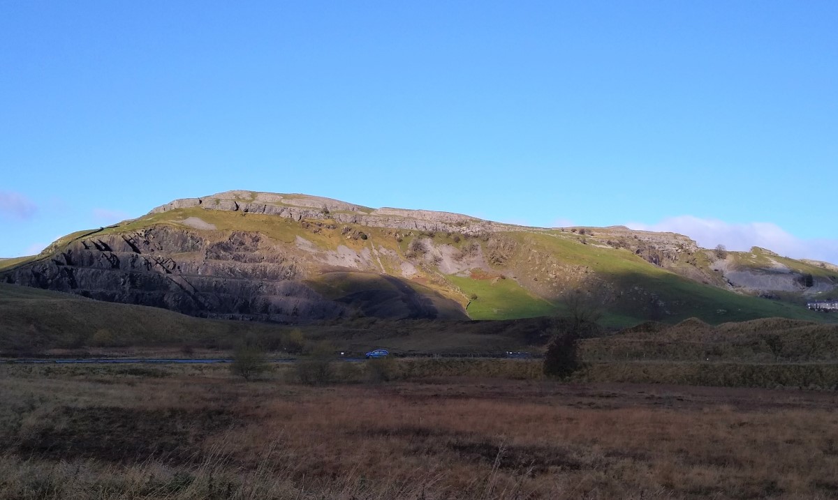
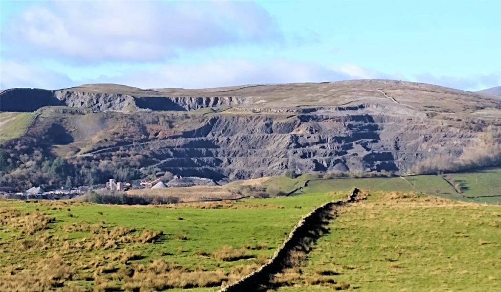
The quarries that dominate the landscape at Helwith Bridge
This walk gives a good view of both – and much more. We start at Helwith Bridge in the free parking area where we see the quarries from a low level, and then head up Pen-y-Ghent where we see them from a very different perspective.
We divert back to Horton before we reach the peak, and walk back down to Helwith Bridge along the Ribble and then past the base of the quarries.
This long but relatively gentle walk starts from the free car park at Helwith Bridge, where we gain a “ground level” perspective of the quarrying operations.
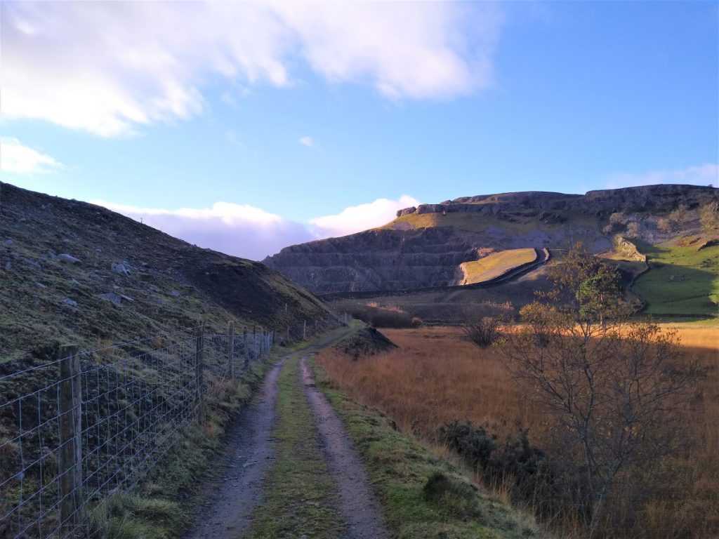
From here we climb a good way up Pen-y-Ghent on the Long Lane track from where we get a good view of all three quarries, before taking the Pennine Journey path back down to Dub Cote and then Horton in Ribblesdale. We return to our starting point by taking the path down the Ribble (the Ribble Way) and then round the base of the Arcow and Dry Rigg quarries
We start at a free parking area with picnic tables at Helwith Bridge. This is clearly signed and on the left just past the pub when travelling from the Settle to Horton road.
The Helwith Bridge Inn building dates back to the 1820s when it was originally a canteen for the local quarry workers. Presumably it would not have served alcohol at that time. It has been a public house since the 1870s when the adjacent railway line was built.
Also worth noting in this area is a fly-fishing lake adjacent to the parking area.
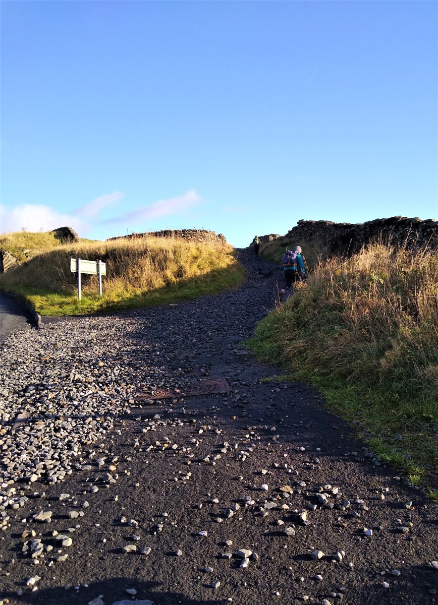
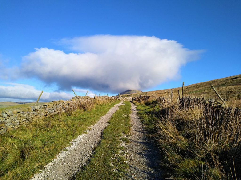
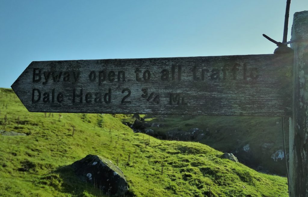
From the car park, we head out over the bridge and back to the busy B6479. Here we take left toward Horton, but only stay on the road for 25m, before taking a track on our right signposted to Pen-y-Ghent. It is worth noting that the track is open to all traffic at this point, although the deeply rutted surface usually makes it traffic free with the exception of a few mountain bikes and farmer’s quads.
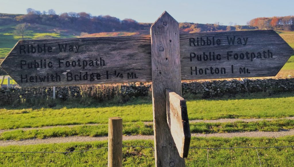
The track heads uphill quite steeply with the looming presence of Pen-y-Ghent always ahead and to the right. We soon reach a fork in the track, and we take left. The alternate to the right is the Ribble way, and is good route to Stainforth.
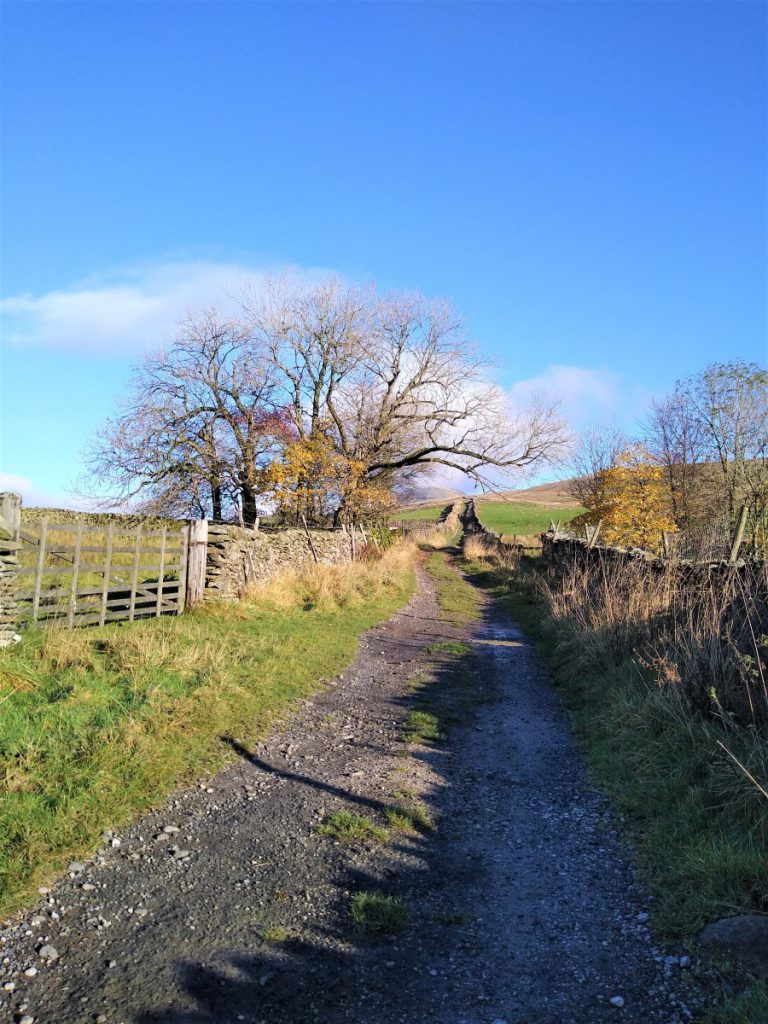
Our route (signed as Pennine Journey) continues uphill, initially between drystone walls. We pass through gates, but the route remains clear as we climb.
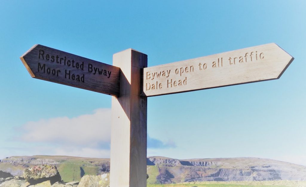
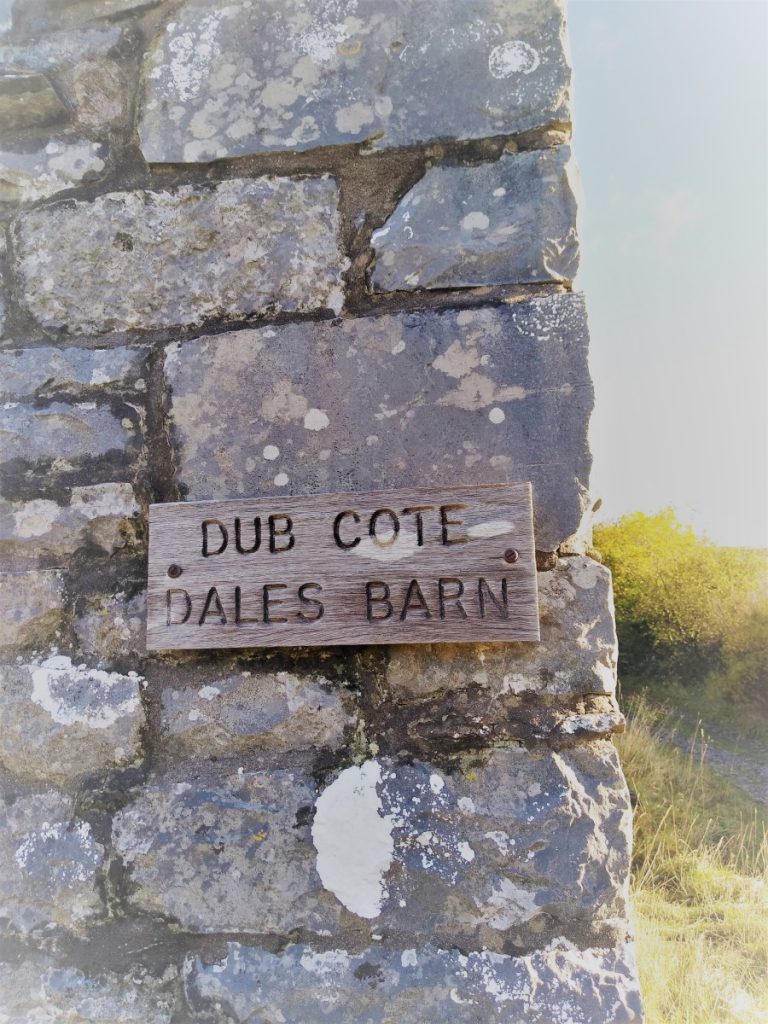
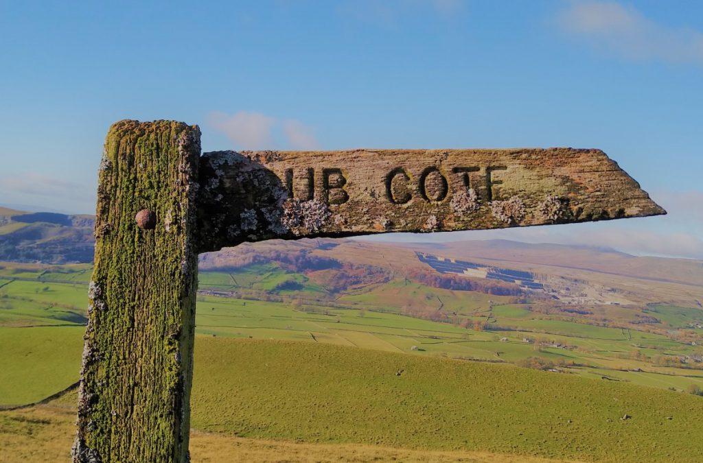
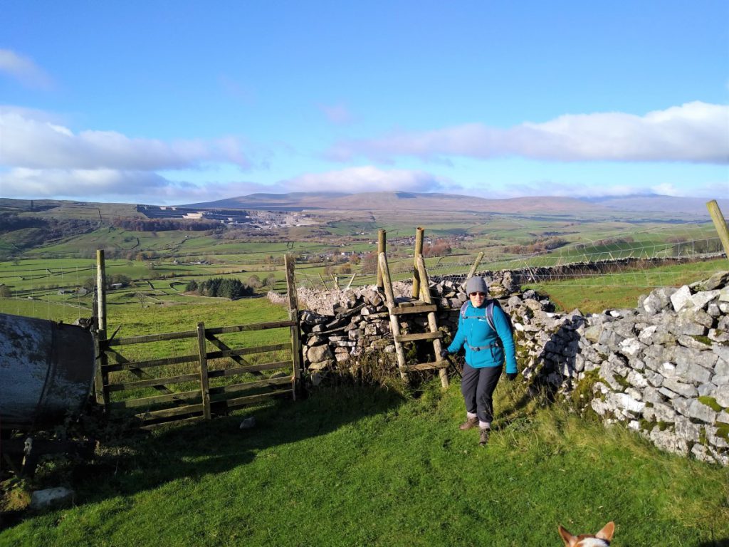
Once we leave the confines of the lane, the land on our left become open, and we soon meet a finger post for Dub Cote, directing us gently downhill toward the farm buildings. The more adventurous could complete the climb to the peak of Pen-y-Ghent and return to this point making the walk significantly longer. An alternative would be to complete the peak and then return to Horton via the Pennine Way and Pennine Journey paths.
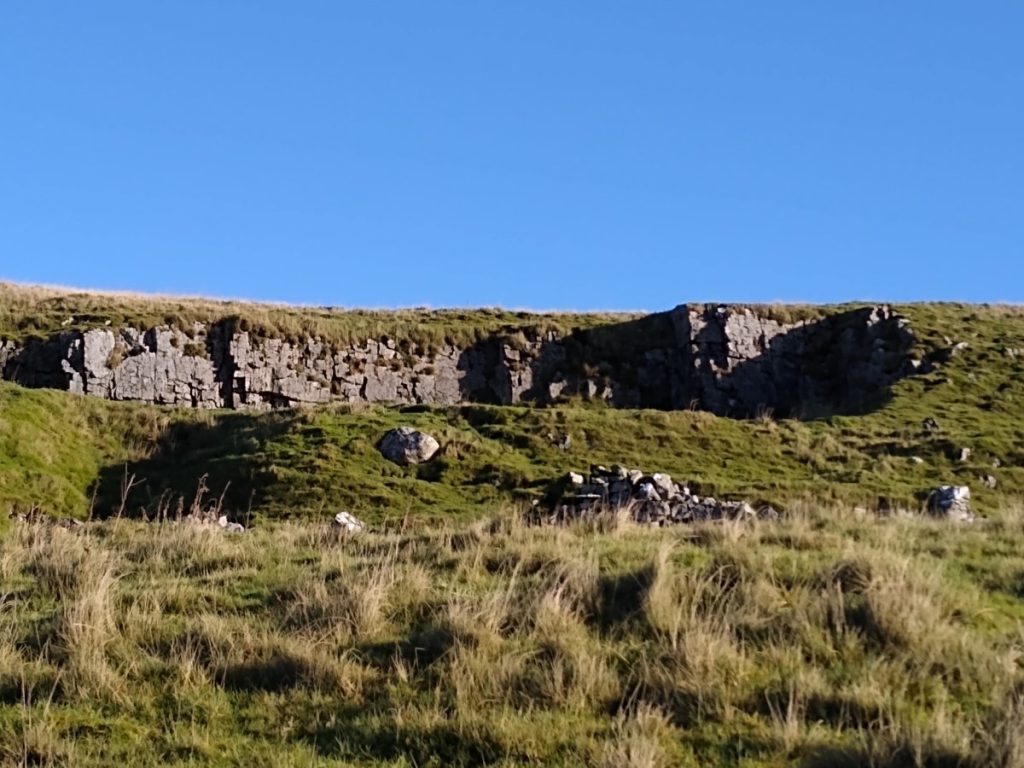
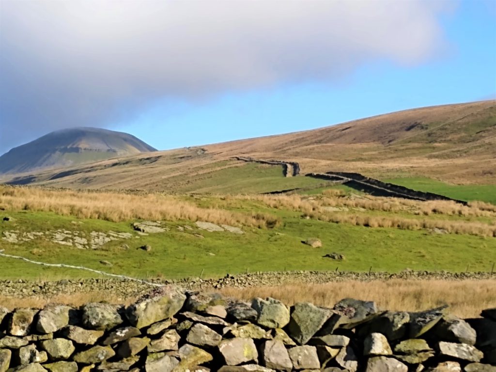
At this point, weather permitting we have a very good view of all the quarries to the South of Horton, and it is interesting to note how different they look:
The older quarries are no longer operational, and so have started to be reclaimed by nature, whilst the operational quarries are sources of Gritstone and Limestone, essentially making them dark or light in colour, accordingly.
As we leave the lane and head down toward Dub Cote, the fields are littered with Shake holes, and rocky outcrops that have formed as underground erosion of the limestone has occulted – be wary of holes along the path.
We head down toward a field corner where we find a ladder stile taking us in a pasture where a clear track takes us down in a westerly direction to Dub Cote, where path follows the road down past the front of the farmhouse to a small road junction where we take a right turn.
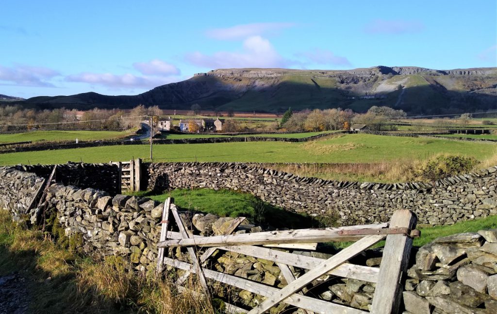
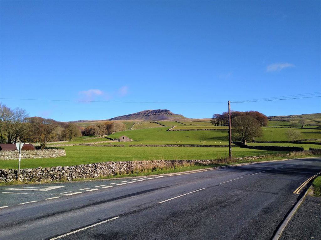
The small well surfaced road now meanders gently downhill, offering good views of Pen-y-Ghent to the right, and Horton ahead.
Our next landmark is another small road junction – with no signage. We take right, which is back uphill and toward Pen-y-Ghent. This road takes us back round through Brackenbottom, rather than approaching Horton via the much busier B6479, and so is both safer and more scenic.
Notice at Brackenbottom that one of the old farm buildings is the headquarters for a caving group – this area features many quite challenging caves and pot holes.
We stay above ground and follow the lane back round toward Horton – passing one of the main access paths to the summit of Pen-y-Ghent on our right where we may well see groups heading up or down – and if you chose to extend this walk to include the summit, welcome back.
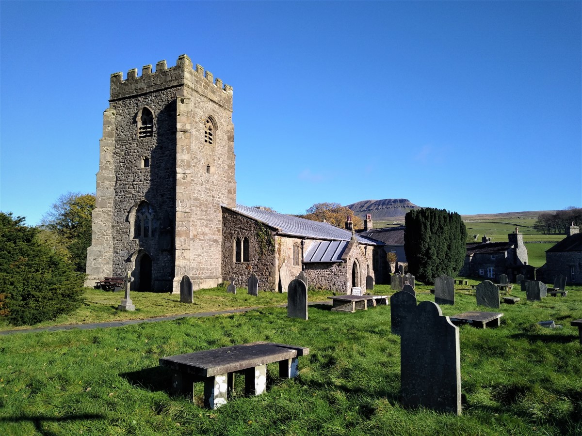
We follow the lane back into the southern end of Horton In Ribblesdale, and St Oswald’s church. This interesting Grade I listed building dates back to the 12th century with significant alterations in the 15th 19th and 20th century.
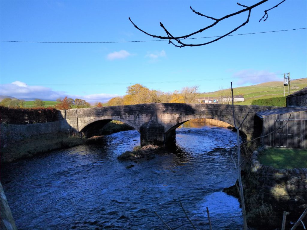
From the church we walk along the main road into Horton, noting that free public toilets are available at the National Park car park just before the bridge. Our onward route takes the Pedestrian bridge over the Ribble at the North end of the car park rather than the road bridge which has no pavement.
The bridge offers good views up and down the Ribble, and up the valley toward Ribblehead, and we note a stile at the end of the bridge leading us into a meadow next to the river – in times of heavy rain expect this to be a little boggy.
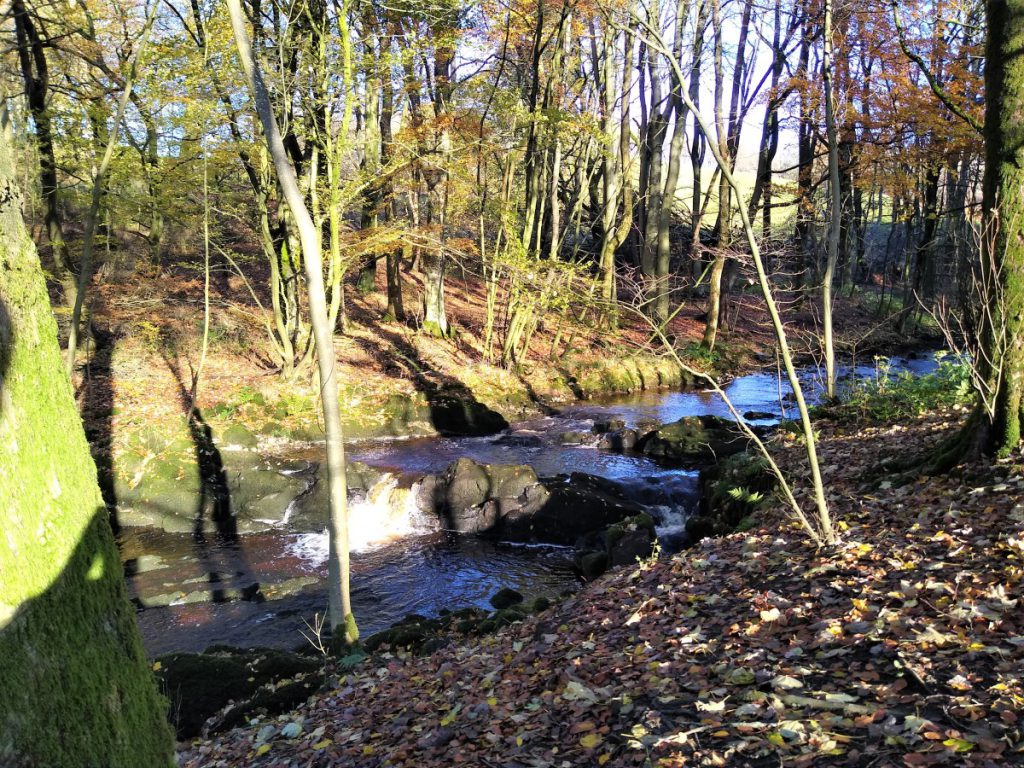
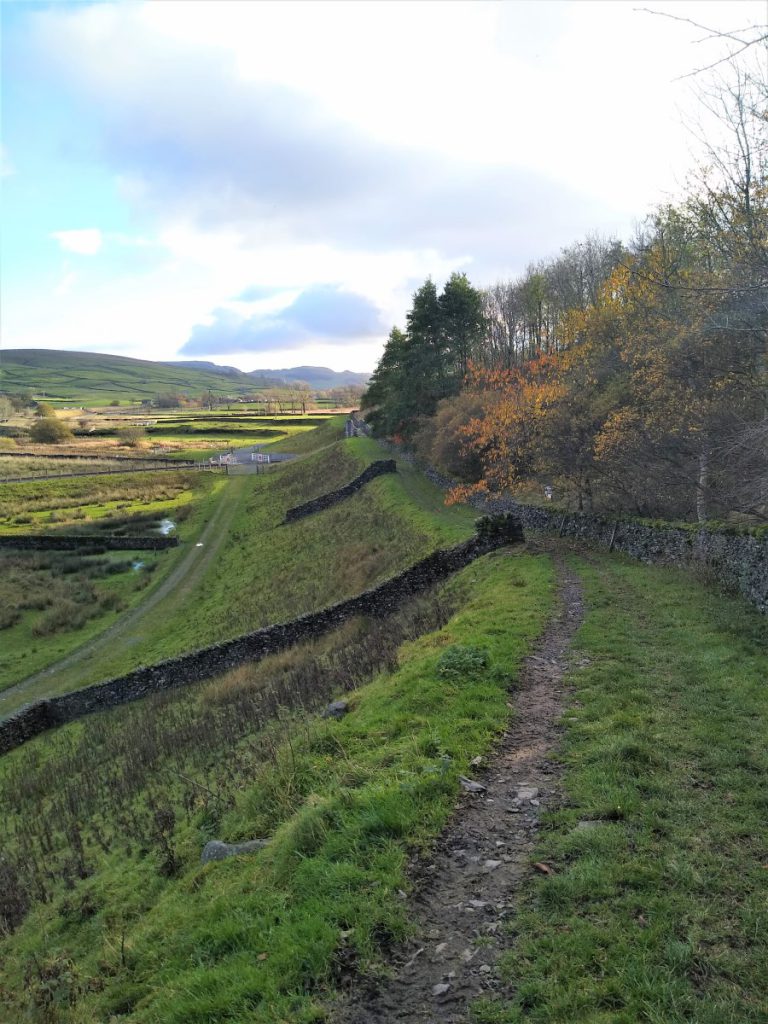
Our path now tracks down the Ribble – keeping the river on our left hand side. The quality of the path varies a little, and at times we are walking along the tops of small walls that form part of the flood defences. The route remains clear though, and we soon pass a pipe bridge connecting the waste water treatment works to the village in Horton. The works are not attractive, but are soon out of sight as we head south.
After a short while we arrive at a footbridge over the Ribble, with benches on both banks – this makes a good place to stop, before pressing on to the quarries. We stay on the riverside path – still with the river on our left – until we arrive at Cragg Hill Farm, where there is another bridge (for farm use only).
Our path now tracks away from the river toward the farmhouse, taking a left turn into a track between the farm buildings just before we get to the house. At this point look for a single gate on the right leading into a field with a pedestrian crossing over the railway line as our next destination.
At the railway, cross with care and turn sharp left to take the path along the side of the railway heading South toward Settle. The path soon diverges from the railway though, and we head gently uphill toward a clearly visible stile.
From here we maintain a consistently Southerly direction toward a fingerpost directing us through a gate us along a short path which soon crosses a stile bring us back into the same field. You may well choose to remain in the field rather than cross the unnecessary stile.
It is worth noting that the land above the fingerpost is subject to remedial works post quarrying, and that a good deal of work has been done to “re-wild” it. Deer have established a stronghold, and there is a good chance of seeing them if you remain quiet.
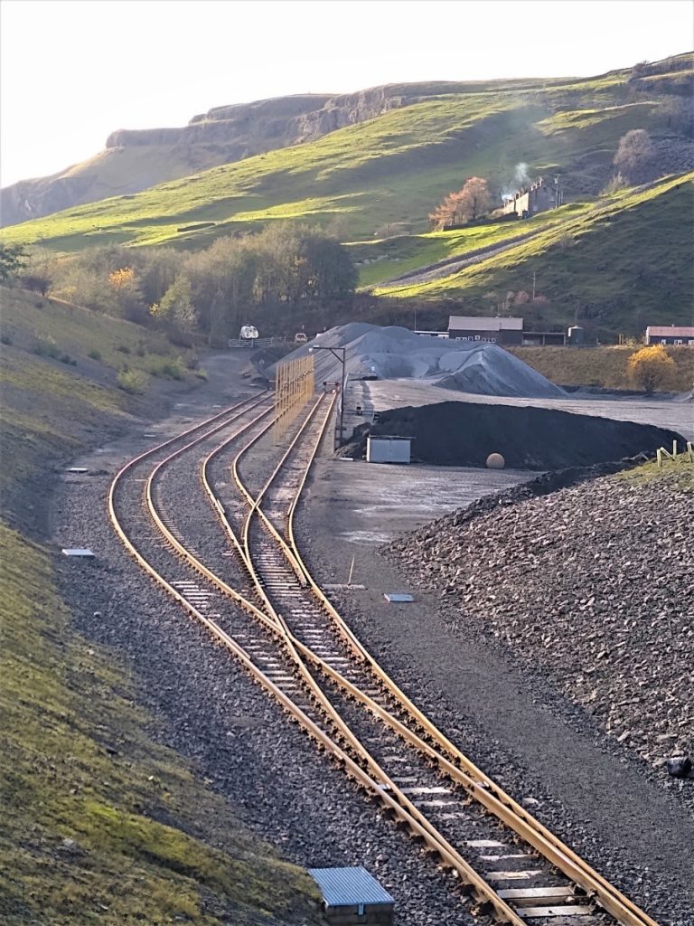
We now walk along the top edge of a steep embankment above flatter and boggy land below which we see the rail extension to the Arcow quarry – this is a recent extension, and the line is not shown on the current OS map. We cross a new pedestrian bridge over the railway gaining a good view of the quarry and loading operations. On our left we note some curious oblong ponds – clearly man made although now overgrown and somewhat derelict.
Our track soon turns sharp right, and we find ourselves on roads that are used by quarry traffic – so care is needed.
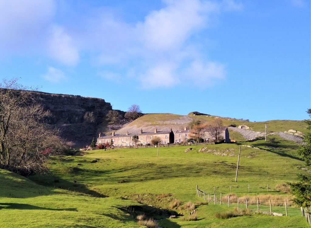
Ignore the road coming in on the left and follow the road round the base of the quarries, toward the farm buildings at Foredale. The cottages visible on the hillside above us on the right are the quarry cottages that are a landmark sight from the main road – they look more inviting close up than the bleak long-distance view we are more used to seeing.
The track continues around the perimeter of the quarries. We have already passed Arcow, and after passing disused quarries we find ourselves behind a large embankment that screens Dry Rigg quarry from sight (and sound).
We follow the track round past an area important for wetland bird nesting (on our left), and round to the quarry access road where we meet the Pennine Bridleway and soon after, the road from Austwick. We follow this round to the left back toward Helwith Bridge where we find the car park.