Jump to . . .Step by Step | OS Map | Downloads | Gallery | Fly through
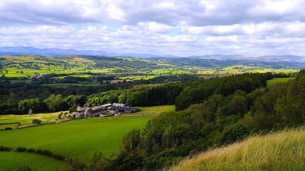
A quick glance at an OS map centred on Kendal shows a viewpoint just to the west of the town – not far from Underbarrow. This walk gave us the chance to see that view – and much more besides.
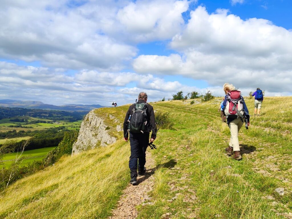
We start at a convenient free car park on the Underbarrow road, and head out along the top of Cunswick scar, with great views across Cunswick Fell to Kendal and beyond. We then drop down through Scar Wood, to skirt the edge of Cunswick Tarn and stroll past Cunswick Hall before taking a variety of woodland paths to Underbarrow.
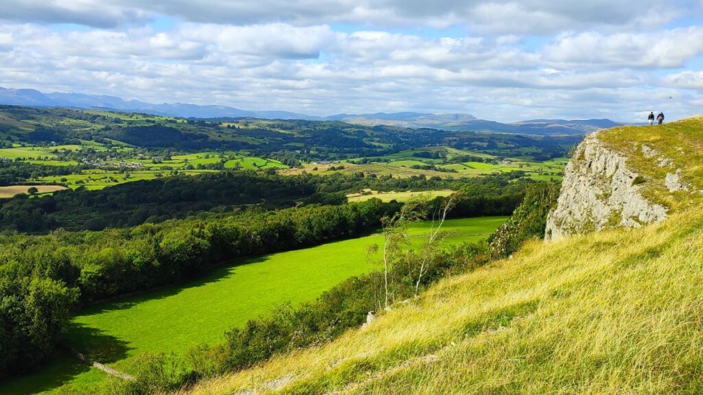
From here we see Scout Scar looming ahead before climbing it at Barrowfield. Once at the top, we enjoy views across to the Lakeland fells, and Morecambe Bay before heading along the top of the scar to the viewpoint where we find an historic shelter and helpful graphics to identify the numerous hills we can see. A brief stroll downhill returns us to the car park.
- Total distance 11.5 km (7.2 miles)
- Total ascent 298 m
- Easy walk
Step-by-Step

We start at the free car park off the Underbarrow Road out of Kendal. Under normal circumstances this would best be approached from Kendal, but at the time of our walk (August 2024) the Brigsteer and Underbarrow bridges over the A591 were closed indefinitely due to concerns about structural integrity, necessitating an alternate route.
We therefore recommend taking the A591 to the Plumgarth roundabout and taking the first exit as if heading for the Bowness ferry. Continue to Crook and follow the diversion sign taking you left to Underbarrow. Once at Underbarrow, continue left at the diversion signs, noting that the road closure sign indicates that the road is closed beyond where we park – so have courage and continue past the signs.
Drive uphill until a communications mast comes into view, and the car park is on the left at the base of that tower. There are in fact two car parks – our outbound route goes from the one nearer to Kendal, so use that one for preference.
The OS grid reference for the car park is SD48979240, and the What-3-Words tag is early.wizard.cure. If you are using Satnav then the address Underbarrow Road Kendal or the postcode LA8 8HA will help – but be aware that your device will probably assume that the bridges are open and so initially want to come through Kendal.
Once at the car park we head out along the track that provides access to the communications tower. Beyond the compound servicing the tower the track narrows and becomes a path which enters woodland – although not immediately obvious we are now walking along the edge of a ridge known as Cunswick Scar.
After no more than 100m we arrive at a gate on the right where we find a finger post directing us to a broad and relatively flat area of land – this is the approach to Cunswick Fell, and from here we have good views over to the right to Kendal, and the Yorkshire Dales, as well as to the mast behind us.
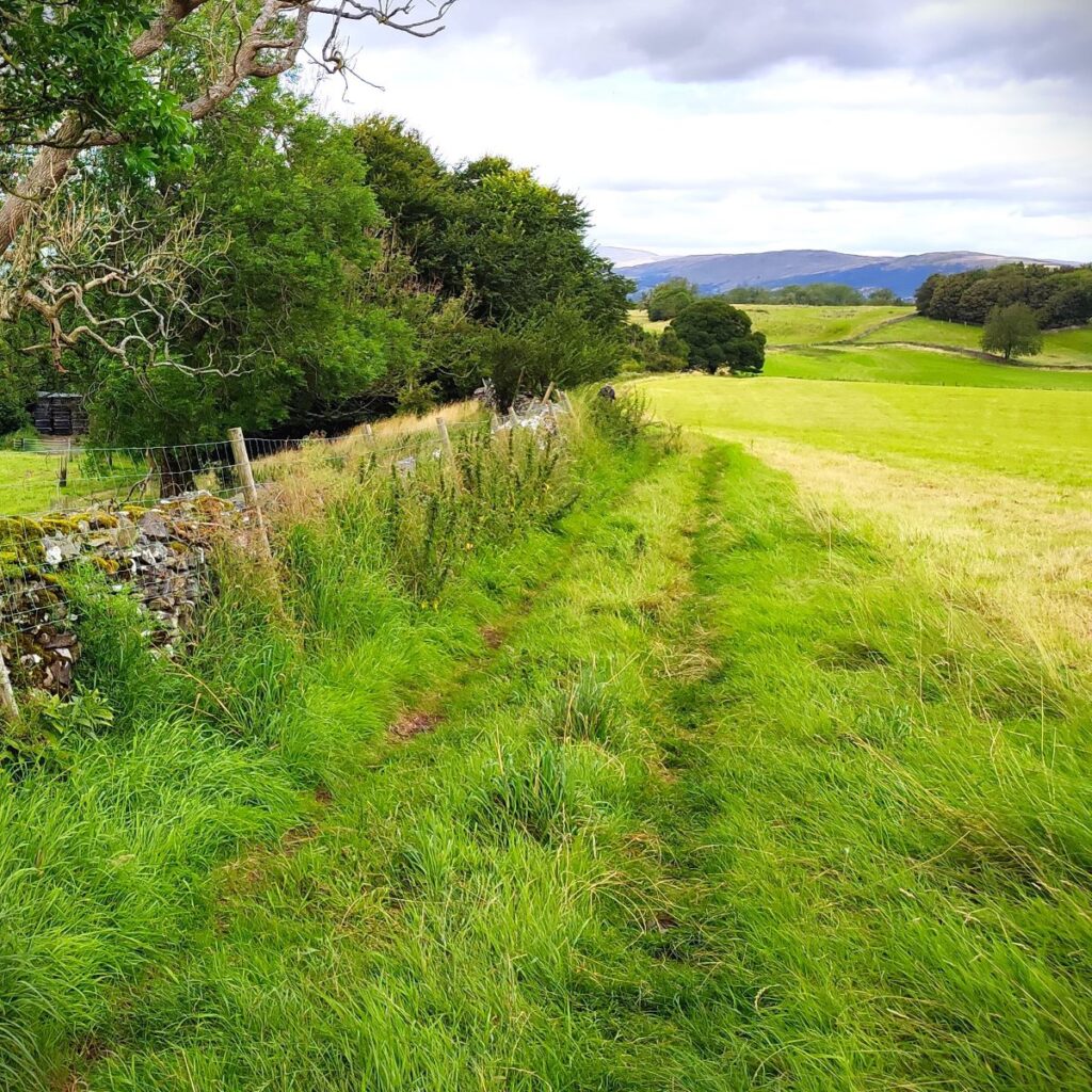
The path initially follows a drystone wall, which we keep to our left. In about 200m a track crosses our path – ignore this and continue with the wall on the left now heading north along the top of Cunswick Scar.
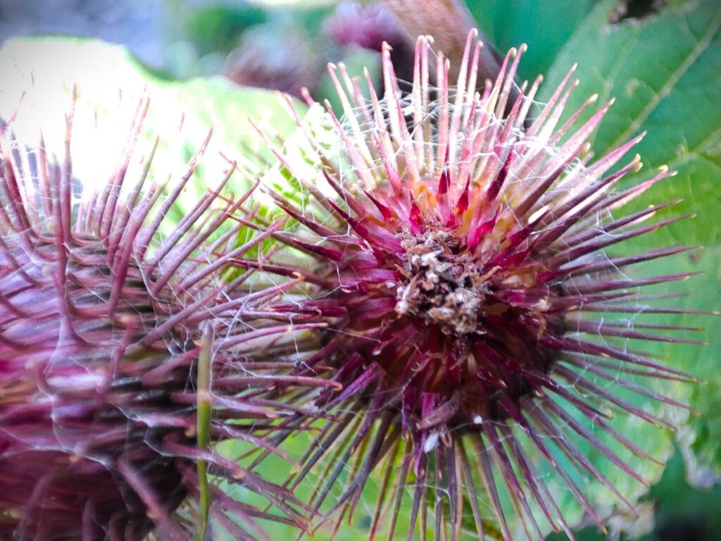
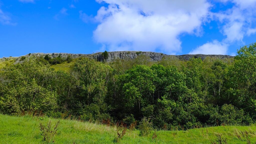
Cunswick Scar is a limestone scar (scar meaning nothing more than a cliff or steep rock face). Fossils can be found in the limestone on the scar and all across Cunswick Fell. The area is also of interest for its flora and fauna: Cunswick Scar and Scout Scar, which we meet later have both been designated Sites of Special Scientific Interest.


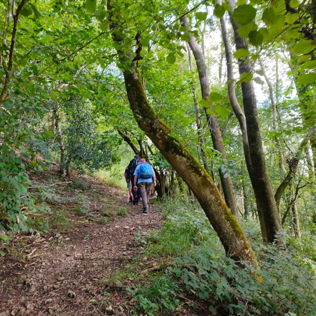
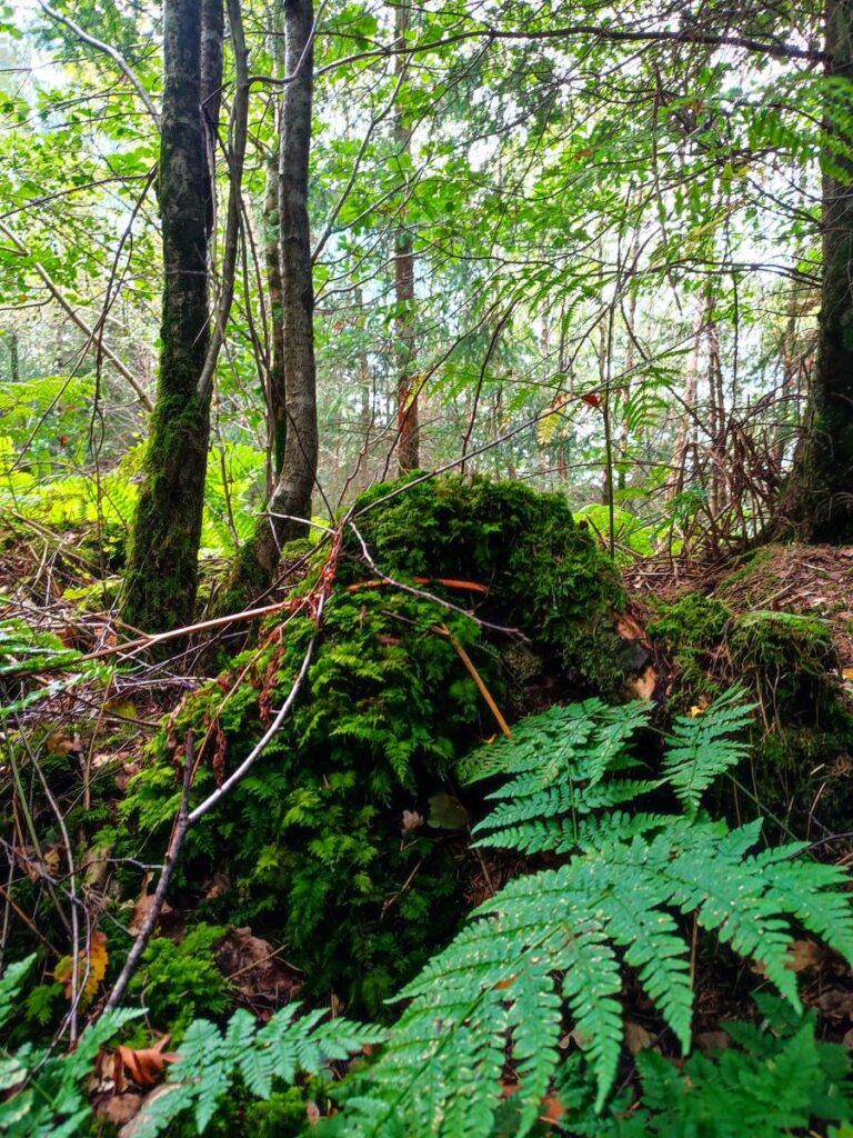
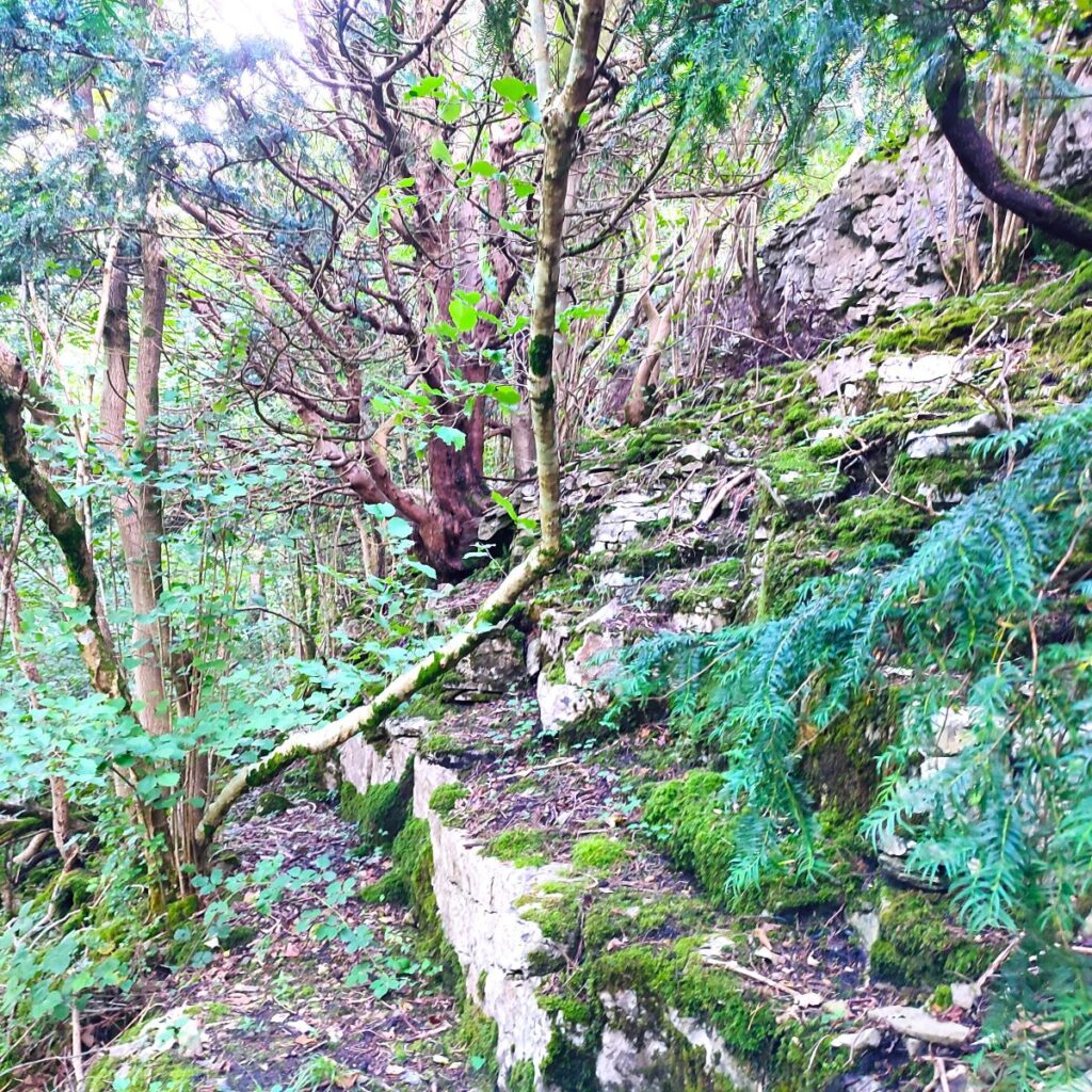
As we progress along the scar, the woodland to our left becomes increasingly dense – to the extent that it’s not really apparent that there is a steep decent hidden there. After about 600m of gentle strolling along the open plateau though, we need to look for a path crossing ours which takes us down to a gate into those woods, where we begin to scramble down the scar.
The path is clear, and in good weather is not a problem. Please be aware though that wet limestone can be slippery, so take extra care if that’s the case.
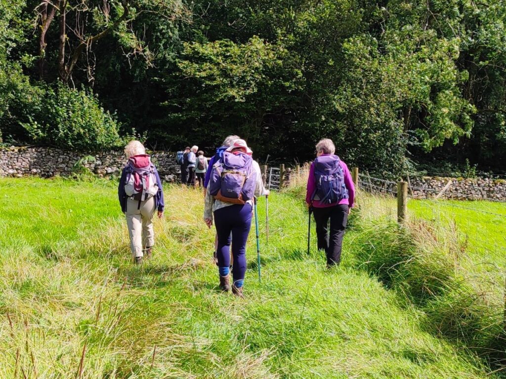
We follow the path downhill through Scar Woods until we reach another gate, where we cross into a meadow. This can be somewhat boggy at times, a clue as to what lies over to our left – Cunswick Tarn. Unfortunately, the tarn is not particularly visible from the path, and there are no designated paths round it, although other websites suggest that it can be explored by heading left at the gate where we enter the meadow.
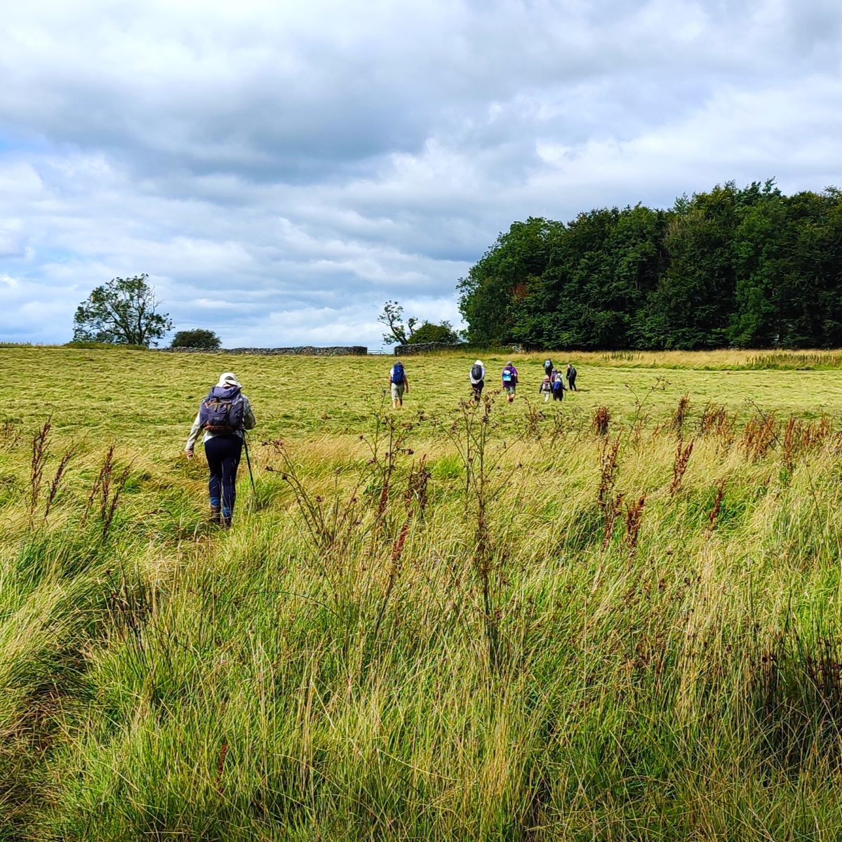
We cross the field we have just entered heading for the opposite corner using the end of the tree line as a landmark – the small woodland that we are approaching is known as Ash Spring. We enter the far edge of that woodland and then just 50m later emerge onto a lane where we head left. As we do so we note that the OS map shows Pillow Mounds to our right – but what are Pillow Mounds?
Although it seems almost unimaginable now, rabbits were not always a part of our fauna: Although hares are indigenous to Europe and have been hunted for millennia, the systematic rearing of rabbits followed the introduction of the European rabbit (Oryctolagus cuniculus) from the Iberian Peninsula to England, during the medieval period. In order to encourage rabbits to breed (yes, really) artificial mounds were built allowing the rabbits to build warrens – Pillow Mounds are the remains of these small manmade mounds.

In the distance we can now see a rather impressive house – this is Cunswick Hall, and the track we are now one goes directly toward it. The Grade I listed structure we see now is predominantly 19th century, but incorporates significant 16th century components, including a pele tower which is recorded as having been demolished circa 1582. A strong gate is all that remains of that earlier tower.
Just before Cunswick Hall, we find a stile on the left which takes us onto a path heading right (south) for the next 300m – at which point we meet Gamblemire Lane. We could head either left or right here. The path to the left climbs Cunswick scar and is a shortcut back to the start – worth knowing if the weather turns. We were blessed with good sunshine, so went right and on toward Underbarrow. There was a fingerpost to indicate this, but it has fallen down.
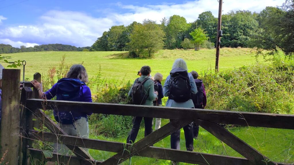
We keep to the edge of the field by the drystone wall and walk down to the woodland taking a gate into the woods. We noted that there were bulls grazing in the field – they were intimidatingly large, but entirely disinterested in us.
We cross through the woodland – the path is clear, and then continue along a narrow green lane until we arrive at a (very) minor road. That road may look familiar to group members – it’s featured in other walks of ours, but in this case we cross directly over and continue in the same direction (west) using marker posts with yellow tops as our guide. These soon bring us toward a well-tended and rather attractive residence where a gate gives us access to a minor road. We go left here and walk down the road initially with Underbarrow Beck to our right.

We follow the road for 400m, to arrive at a crossroads. The road may look fleetingly familiar – it’s the one from Underbarrow to Cunswick Scar that we used to get to the start of the walk. Opposite us is a green lane, and this is the route we take for the next 200m, at which point we emerge onto a minor road and bear left.
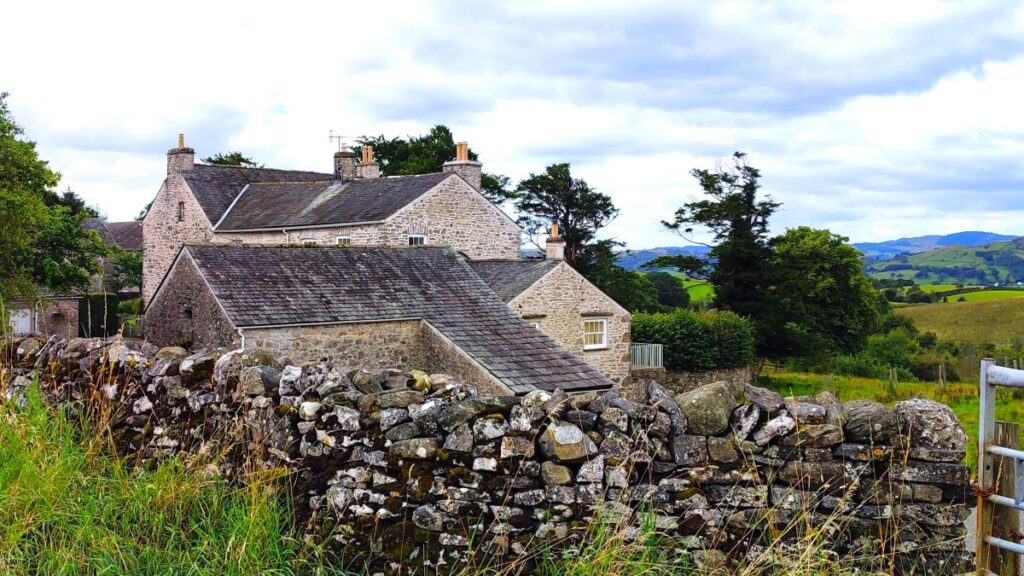
We stay on this road for just 200m, looking for a gate on the left – this takes us onto a path that then goes behind the houses we see to our right and down to another road. We follow this to the left and climb to Tullythwaite House, a rather fine building dating to 1820. It has had a number of uses over the years, and is currently a holiday let, but has also been used as a restaurant, and was reviewed in the 1970s as one of the best in the Lake District by the New York Times.
Just 50m past the rather lovely gate way to Tullythwaite House we look for a squeeze stile set in the right hand side of the lane, and enter a field, taking the path down to a small footbridge over Tanyard Beck, before taking a stone step stile and then crossing another field before noting an ancient barn undergoing sympathetic restoration: We were told that the structure dates to the 15th century.
We are heading for the minor road behind the barn, where we briefly go left. The route through to this may be difficult to see during the construction works so take care.


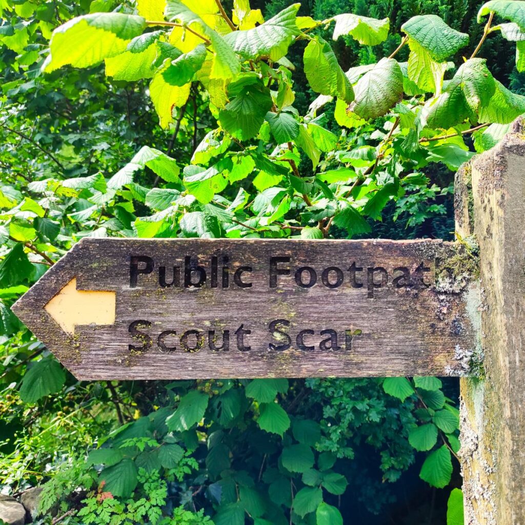
We are on the minor road, heading downhill for just a few metres, then notice a track on the right, signed for Scout Scar which we take. The track approaches a house, and we go to the right of an outbuilding and then drop down and bear left to take us to a gate into the woodland that we see ahead. This is Barrowfield Lot.
The path meanders up through the woods until we arrive at a clearing with unusual “goalposts” intended to alert forestry drivers of the risk of overhead cables. Here we take the track round to the right for just 30m and then look for a path leaving on the left and climbing further into the wood.
We follow the path uphill through Barrowfield Lot until we emerge in front of a farm, now with Scout Scar looming ahead of us. We take the track around the right hand side of the farm. Passing a slurry tank on our left and continue up to a gate that gives us access to the footpath up the scar.
The path here is quite steep, and as for our climb down Cunswick Scar, particular care is needed if the ground is wet.
After climbing for about 150m, which may feel like more, we arrive at a clearing where we get great views across the valley and over to the Lakeland fells. To our left on a good day we can see Morecambe Bay and the coast. The path then changes direction, and heads northeast up the rest of the scar before reaching the plateau at the top just 100m later.
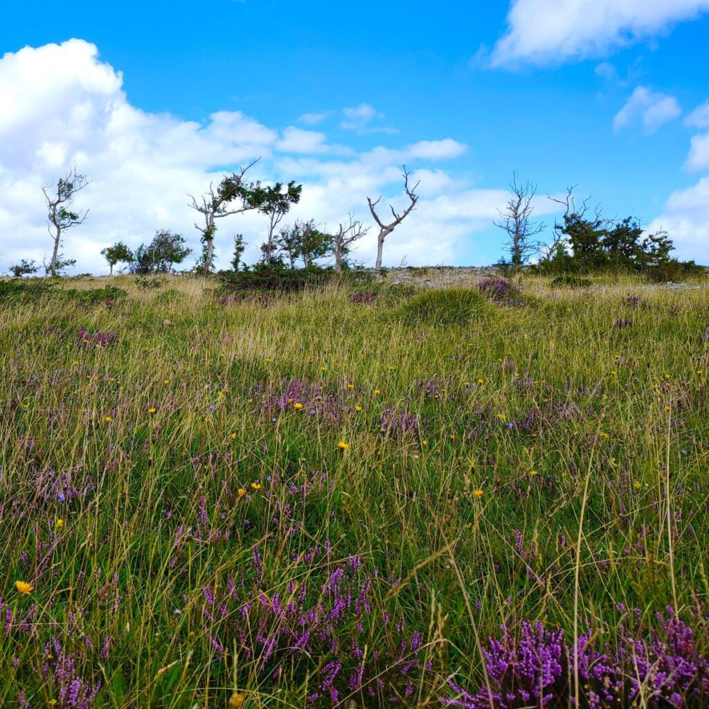
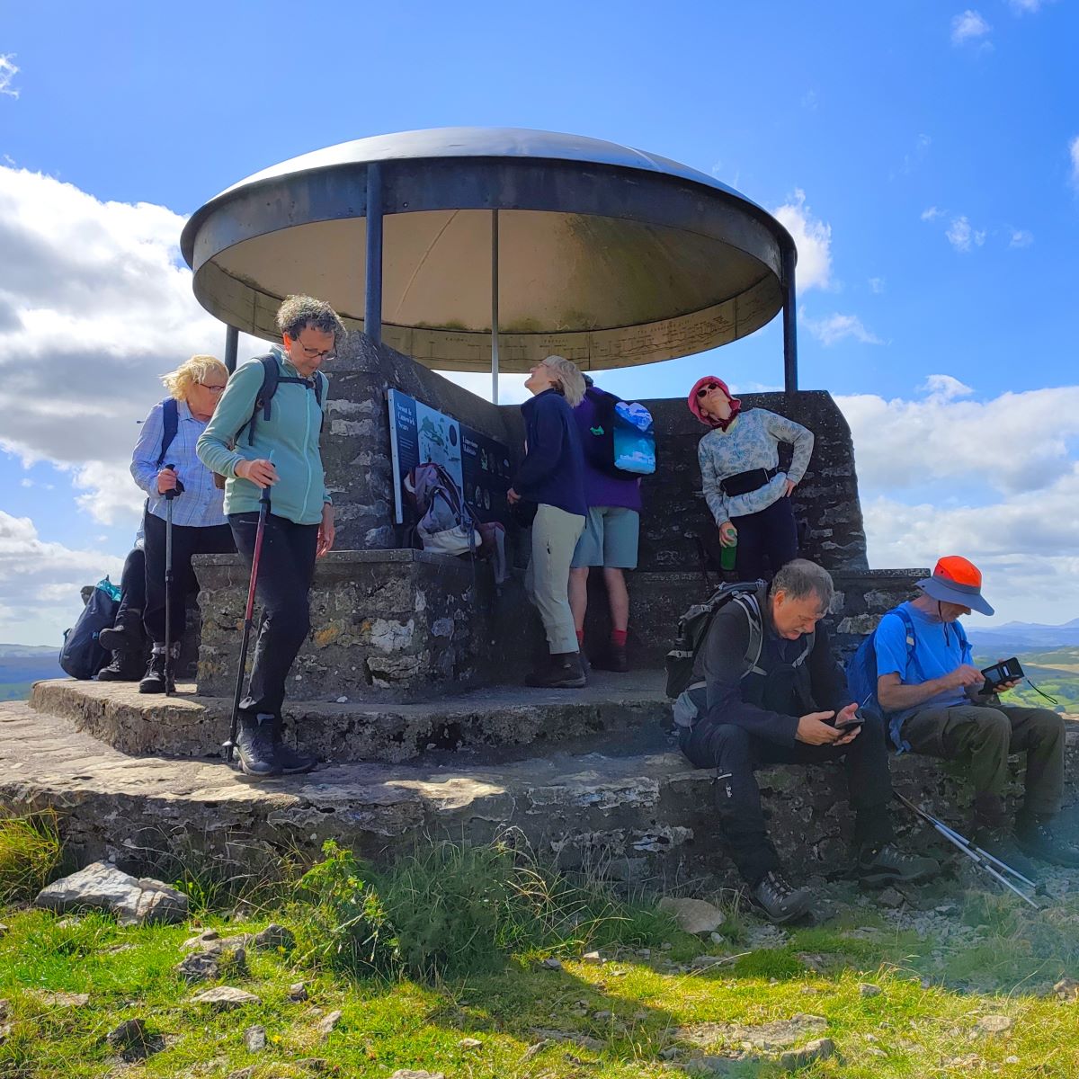
From here we follow the path along the western edge of the scar, taking care not to get too close to the edge. There are a great many paths to choose from here, and in practice it does not matter too much which you take – just keep heading north along the scar until the “mushroom” comes into view.


This rather curious shelter was built in 1912 as a memorial to King George V and restored in 1969 and again in 2003. The structure includes a toposcope indicating the Central Fells and other landmarks. Whether or not you will be able to see all the peaks indicated will depend on the weather – we were lucky and could pick out all those indicated on the band withing the dome of the mushroom, including “our” peaks over in the Yorkshire Dales.
From the shelter we continue north and pick up an accessible path which heads slightly right and downhill to the road. The car park, where the walk concludes is now just 100m to the right.
We grade this great walk as “easy” because it less than 12km long. You should note however that it’s only just short of 12km and does include some steep terrain – so if you are new to walking, or coming back after a break, expect to feel tired.