Silverdale and Arnside are great walking locations – with nature reserves, great views over the Kent estuary and Morecambe Bay, and historic monuments. For this reason, Bentham Footpath Group often base walks in this area.
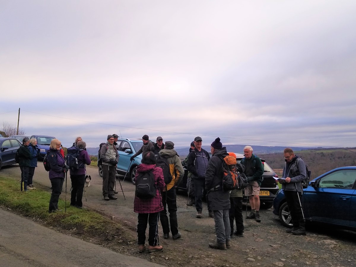
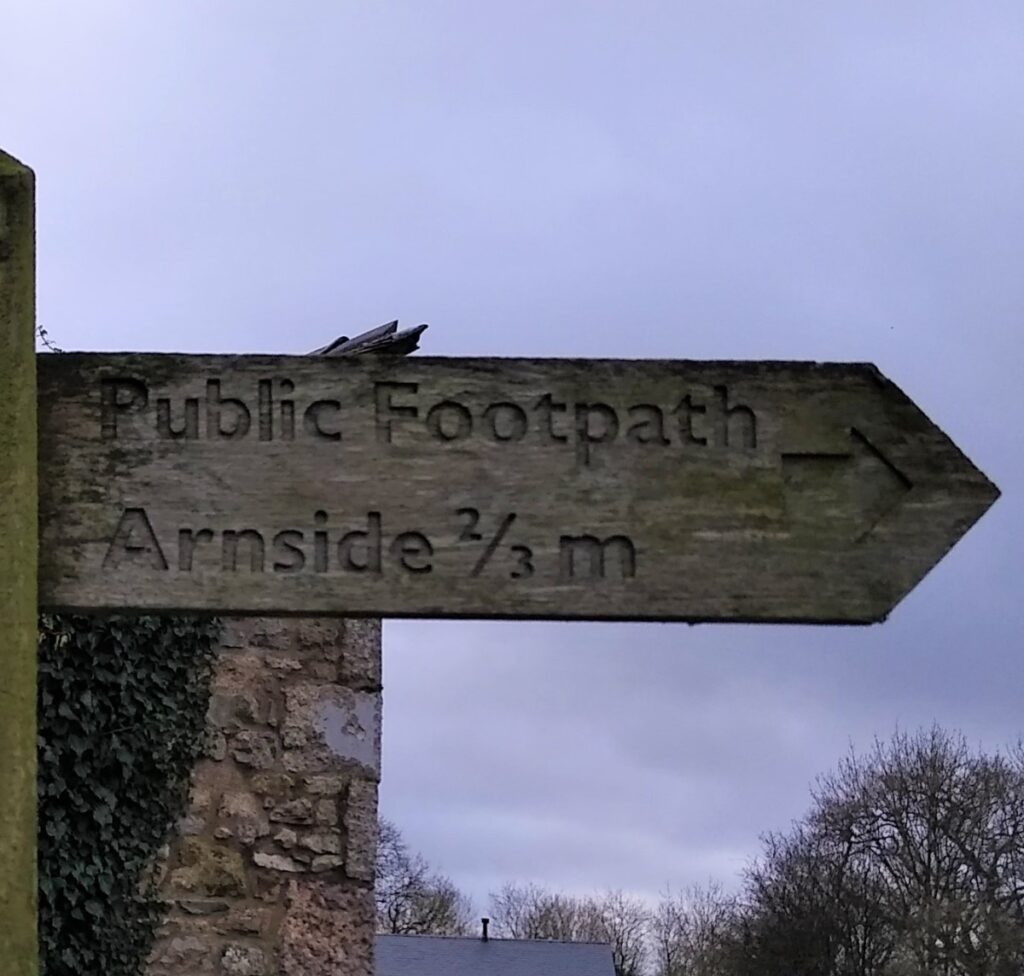
For this walk we park in one of the two lay-bys at Hare Porrock, on the Silverdale to Arnside Road in sight of Arnside Tower, before scaling the Knott for great views over the estuary and on toward the Lake district. We then head downhill toward Arnside before entering Red Hills Woods and following a track back down to the road. We walk the road for just a few metres and then skirt the back of Arnside to arrive at Black Dyke, where we cross Arnside Moss to catch a glimpse of Hazelslack Tower.
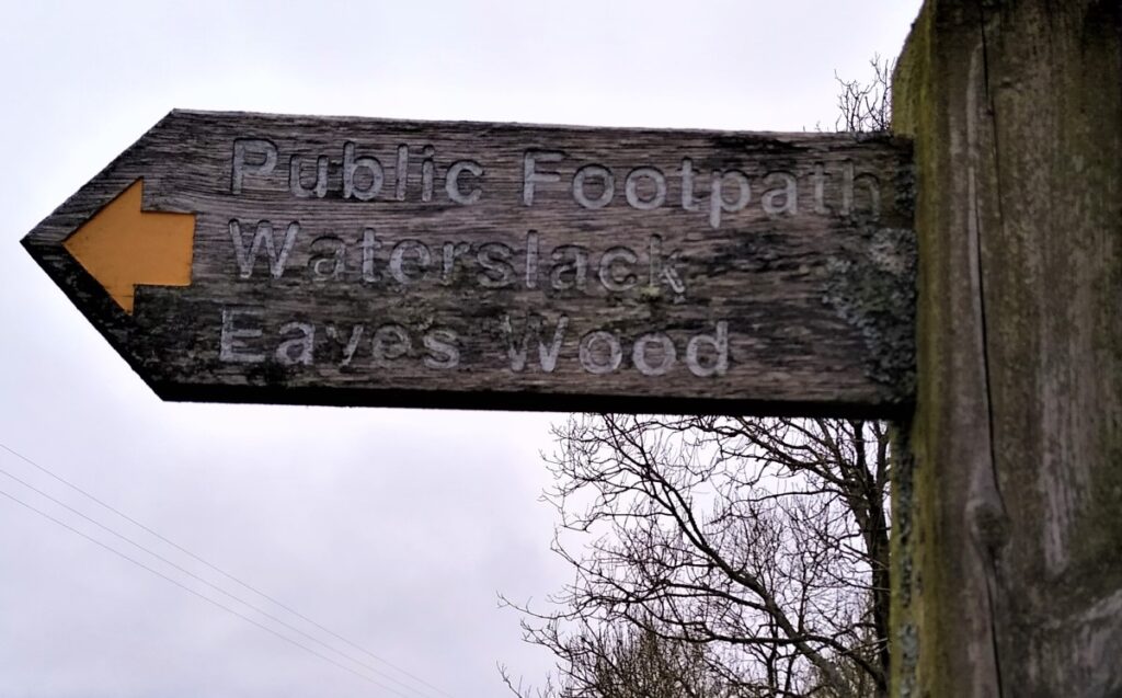
We then head South through woodlands to pass Challan Hall and Hawes Water before taking pleasant paths through Eaves and Middlebarrow woods to arrive at Arnside tower. From here we return to our starting point.
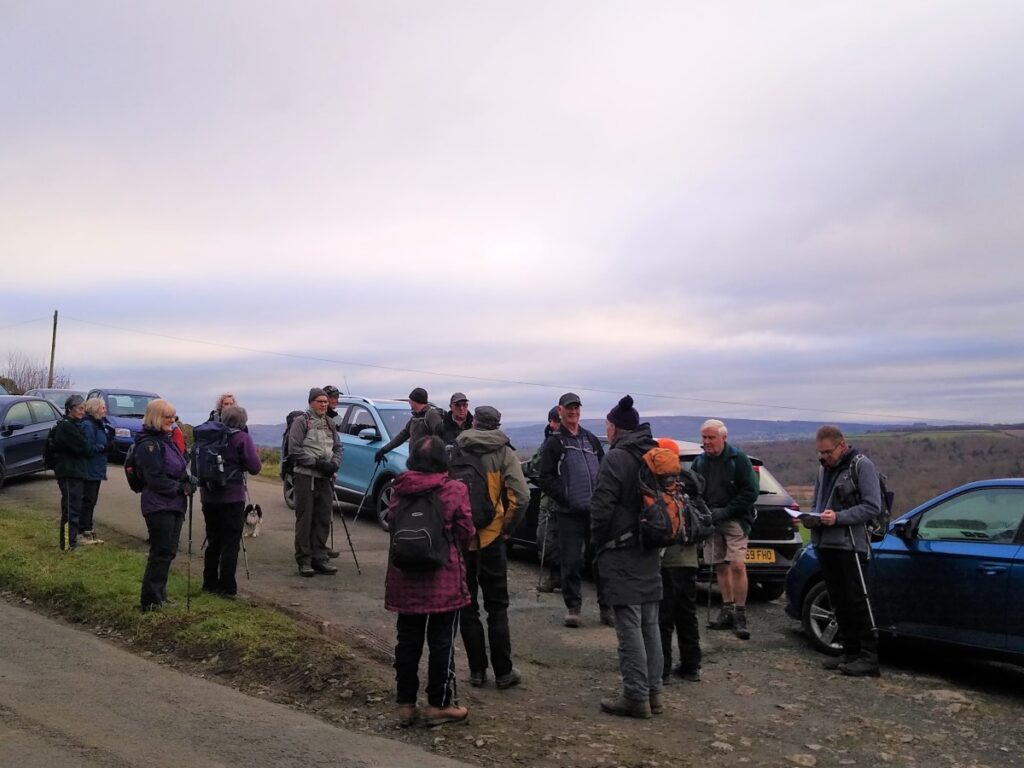
This is a popular area, and parking can be a problem, so aim for an early start if you intend to walk at a weekend during the summer holidays. This walk is better than most in this respect as there are two large lay-bys on the Silverdale to Arnside road near Arnside Tower. Pick either for this walk:
SatNav users should find that LA5 0SN gets you there.
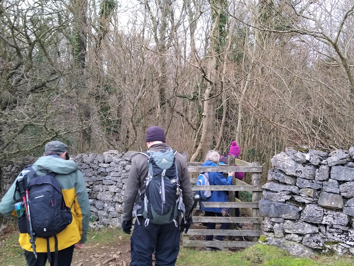
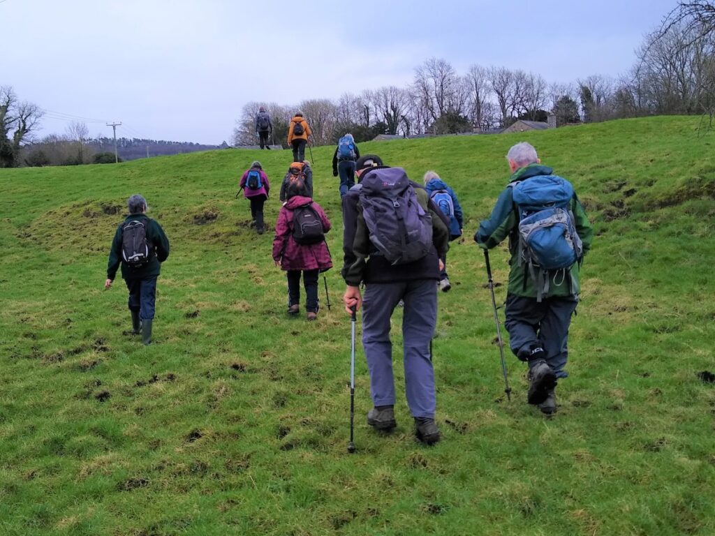
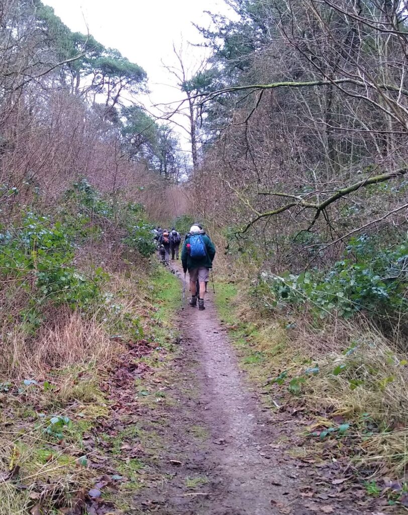
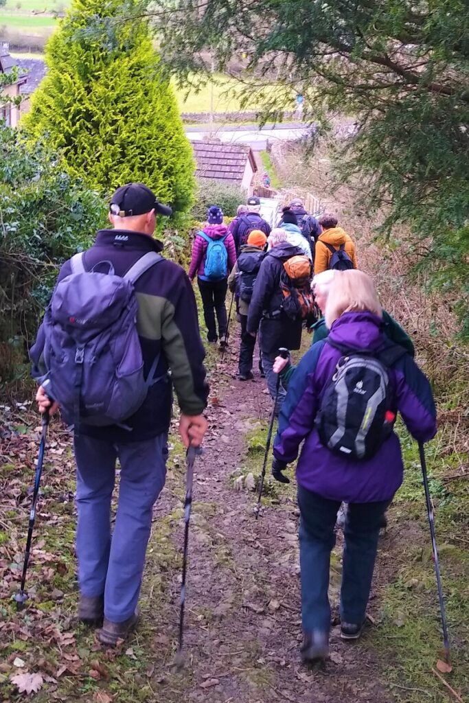
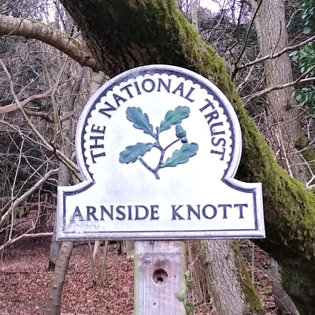
From the starting point, we head SW and slightly downhill along the road in the direction of Silverdale, past the farm road to the tower, and after no more than 50m, enter the woods at the National trust sign. From here we follow a clear and obvious path uphill through the woods toward Arnside Knott.
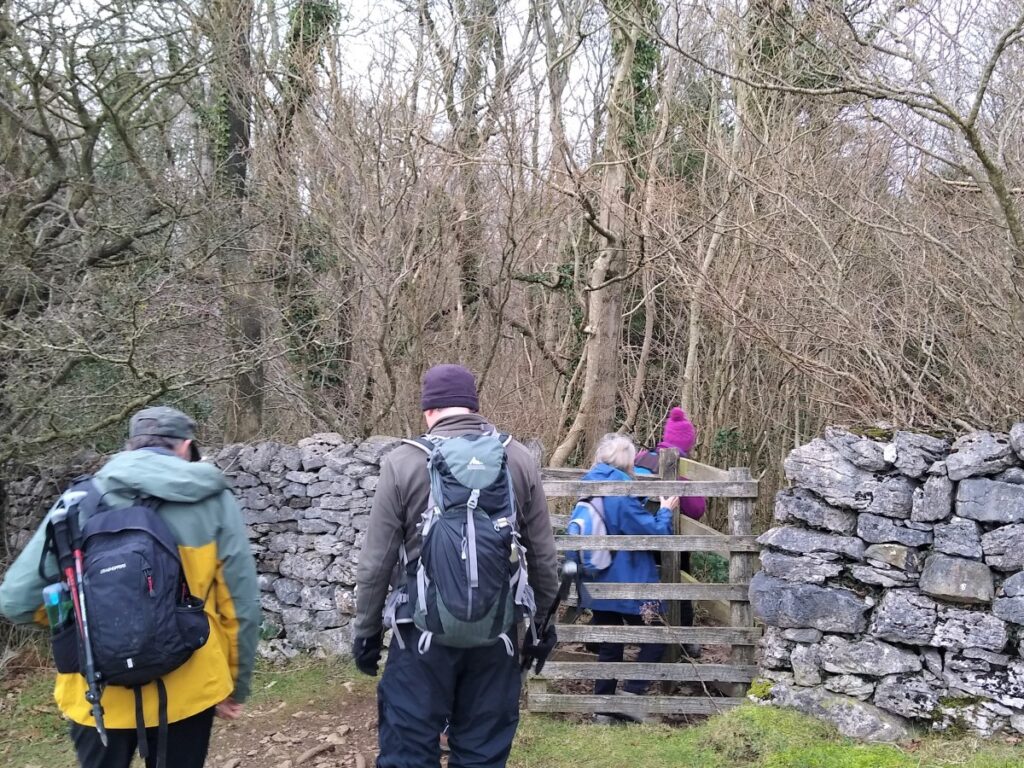
There are many paths to choose from in this area, so it’s relatively easy to take different routes to the same destination. In our case, we need to keep an eye open for a path leaving ours on the right going through a gate and heading North.
If you miss this path you will come to a junction of four paths instead – if this happens, don’t worry just go right and you will soon be back on track.
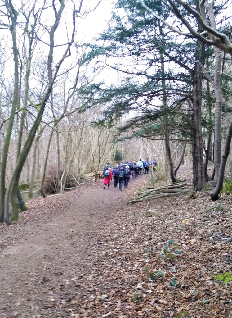
From here we head consistently North and uphill through woodland on a clear and well drained path until we meet a larger main track along the ridge of the Knott, heading NE.
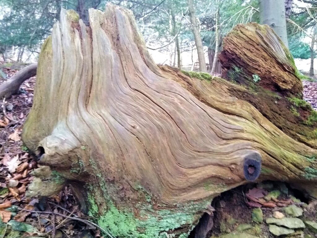
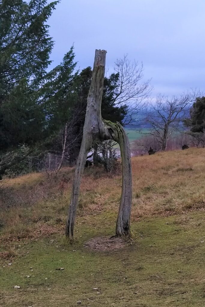
At this point we turn right and continue to head slightly uphill. Adjacent to this main track on the left we the remains of two Larch Trees that grew into each other in a natural process known as pleaching to form a “stirrup” or “giraffe” structure. It is often said this (and several other) knotted trees are the reason that the area is referred to as The Knott.
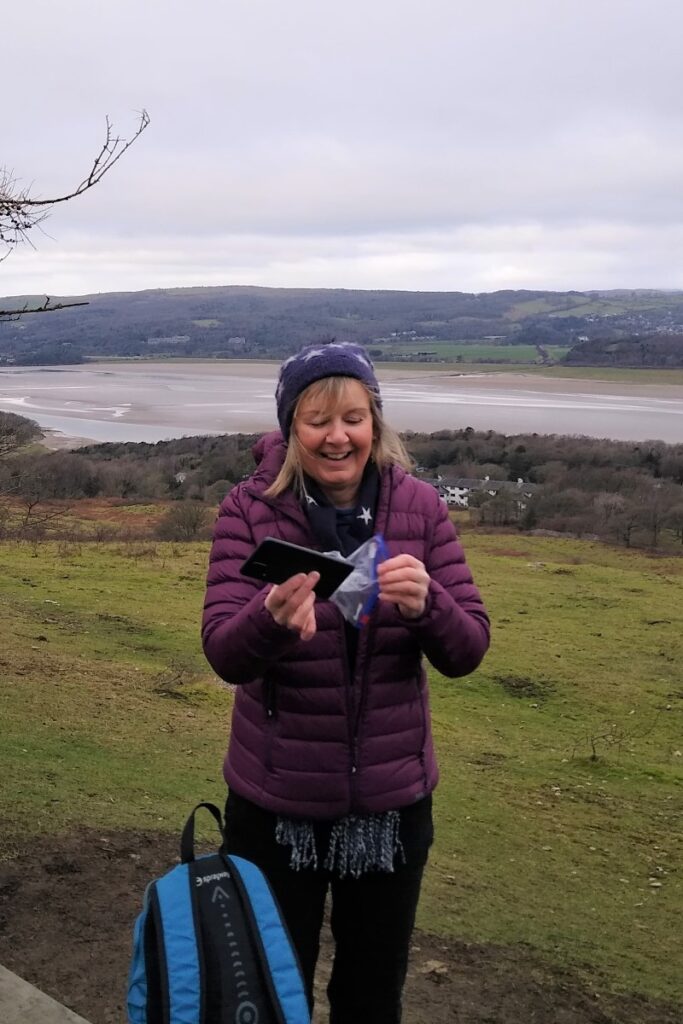
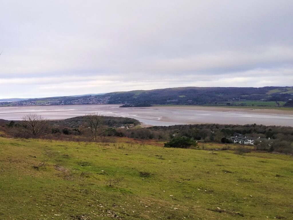
Also to the left as we climb, we gain good views over the Kent Estuary toward Arnside and its iconic railway viaduct, to the Lake District fells, and further in the distance the Howgills.
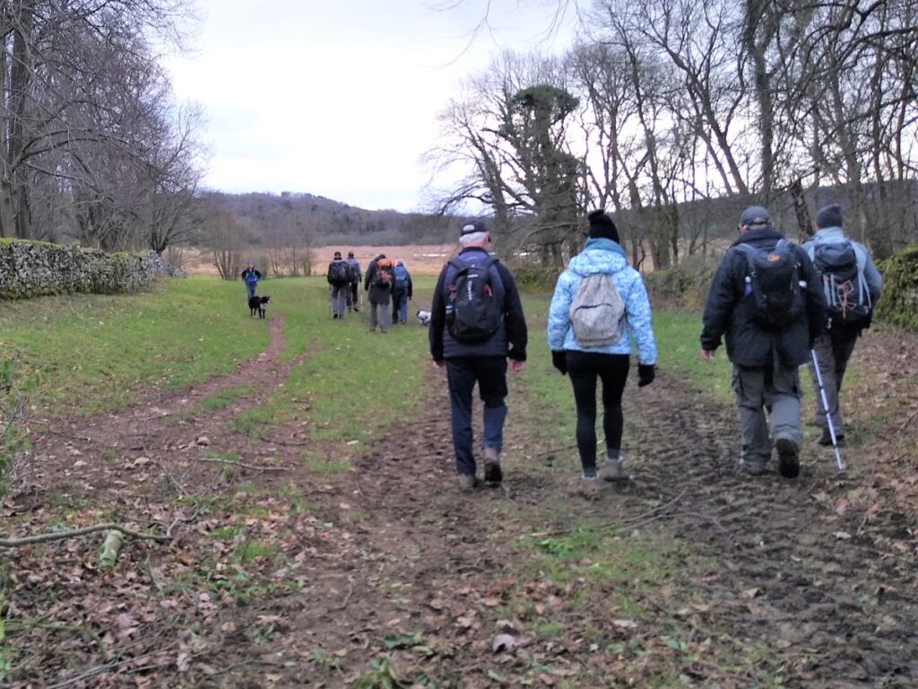
Once we pass the peak of Arnside Knott, and start to head downhill toward Arnside Village, we see a fork in the path. The route to the right continues around the Knott, but we take left and pass through the drystone wall to cross an area of more open pasture heading North toward Arnside.
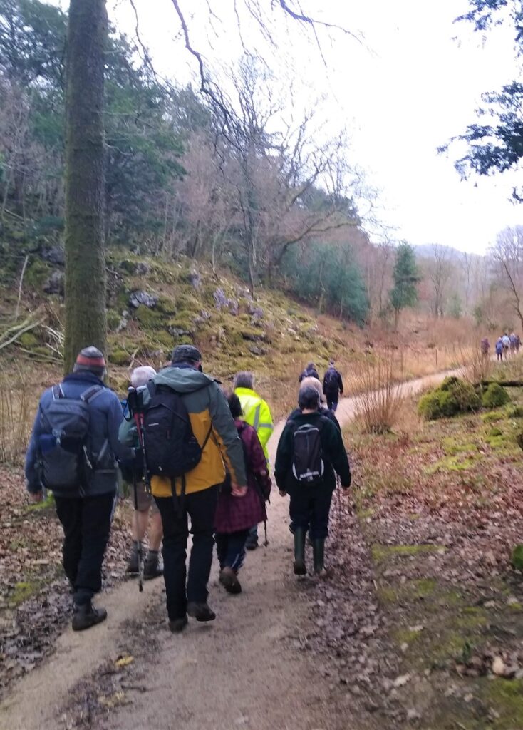
At the far corner of the field, we find a gate, and pass through into the woods again, now heading NE. Again, we soon find that there are many paths to choose from. As long as we head NE, we will find the track on the far side of the woods, where we turn right, now heading away from the estuary.
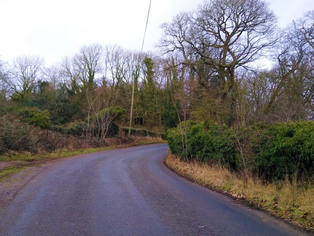
The track forms the northern border of the woods, and heads SE behind the edge of the housing at Arnside, and before long we again meet the Silverdale to Arnside road where we turn left walking in the direction of Arnside.
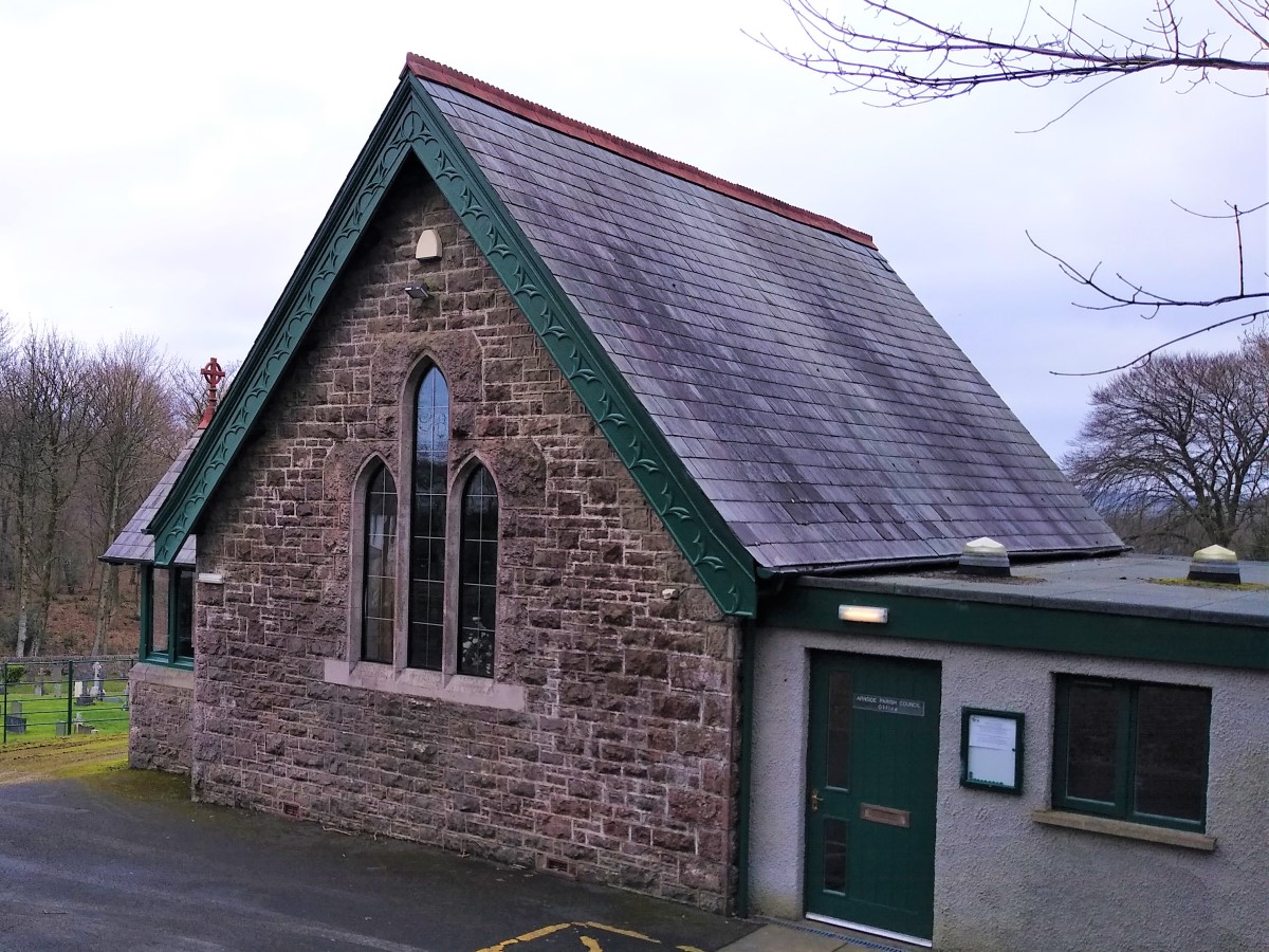
Just ahead of us on the right as we head slightly downhill is the well maintained Arnside Cemetery, with a small chapel.
Arnside is the site of five Commonwealth War Graves.
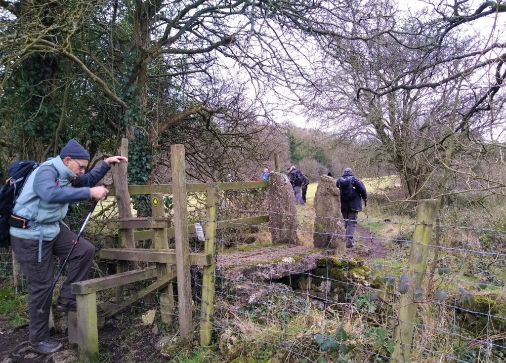
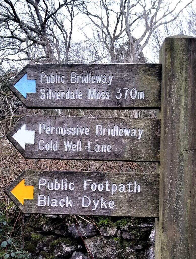
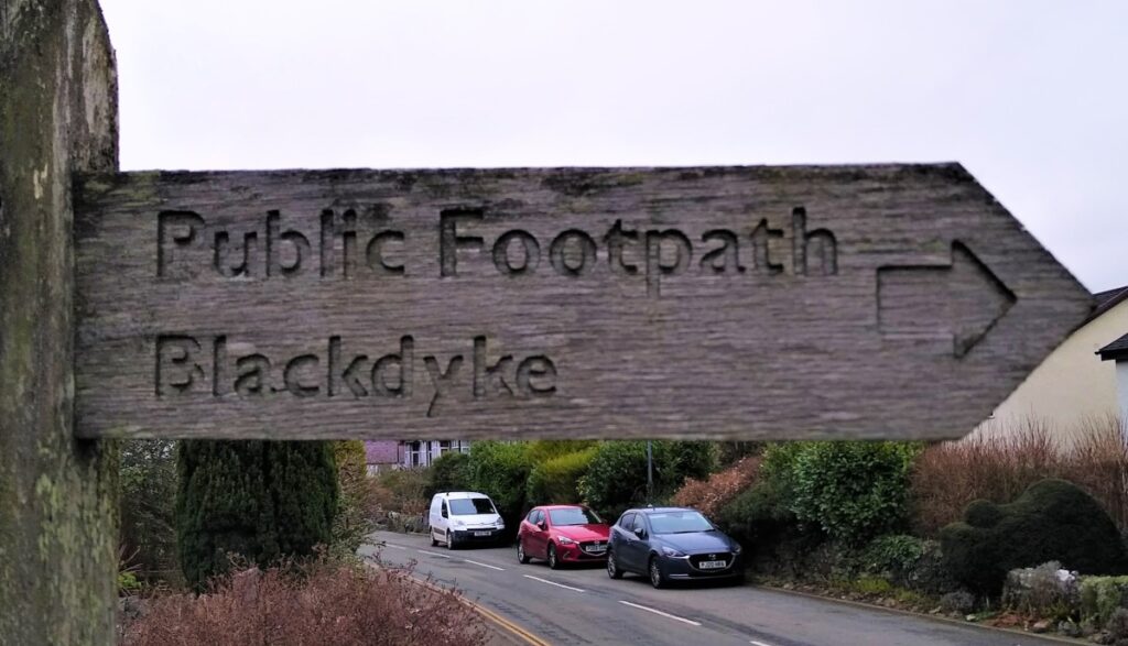
We stay with the road for no more than 100m, before we see a footpath sign directing us toward Black Dyke. This takes us down a residential street before we pick up a path behind the housing heading Northeast until we emerge via a stile onto a minor road.
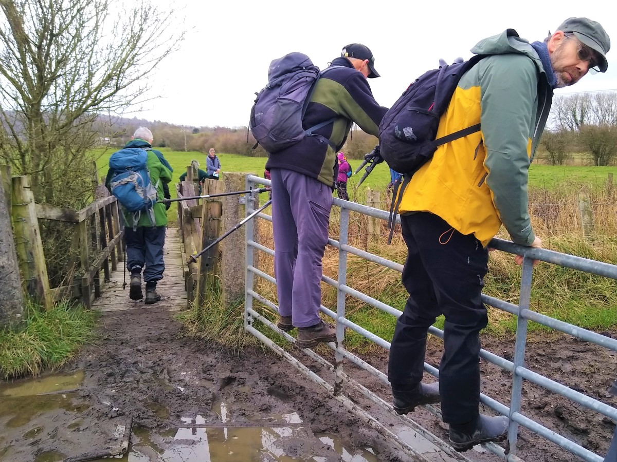
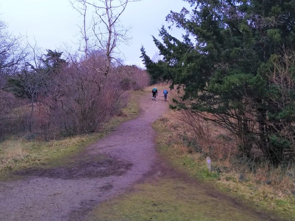
We now need to cross the moss, which we see ahead of us, and head toward Hazelslack. The obvious and often best way is on the path over the moss but be aware that this can be very boggy.
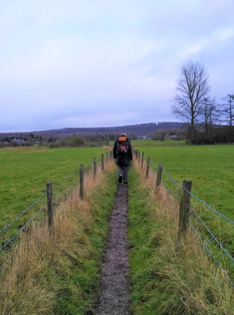
If the weather is generally acceptable, we turn left along the road until we see the footpath sign to Hazelslack. This crosses the railway and initially uses a well-drained field path between wire fences, lulling the unsuspecting walker into a false sense of security. Before long though, we meet something of a swamp centred around the drainage ditch. Some ingenuity may be required in navigating this.
Beyond the footbridge though we head over better ground to meet a minor road at Carr Bank.
If the weather is wet, or you wish to avoid this potentially boggy area there is an alternative to crossing the moss: Instead of turning left at the road, go right and follow the road round keeping left until the road approaches Carr Bank.
Note that the GPX download covers the route over the moss.
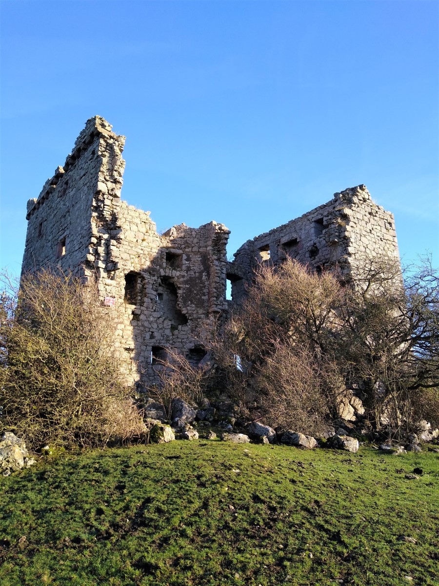
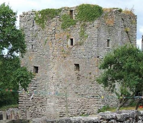
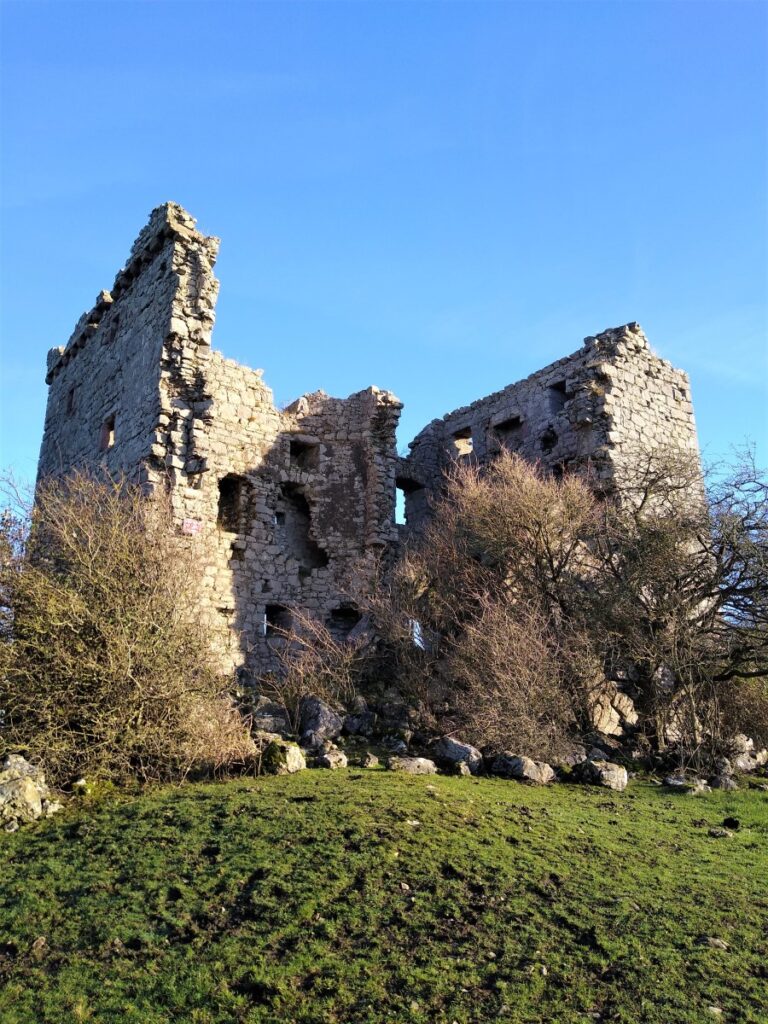
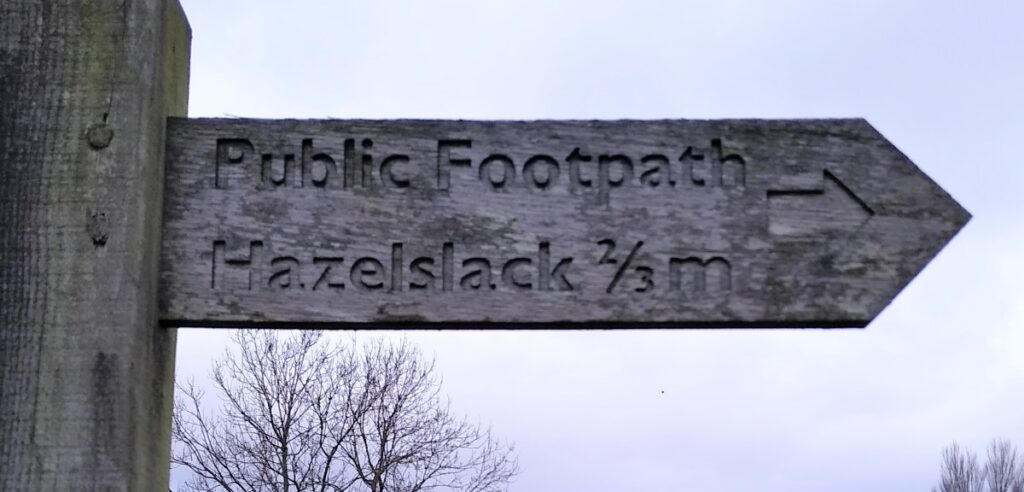
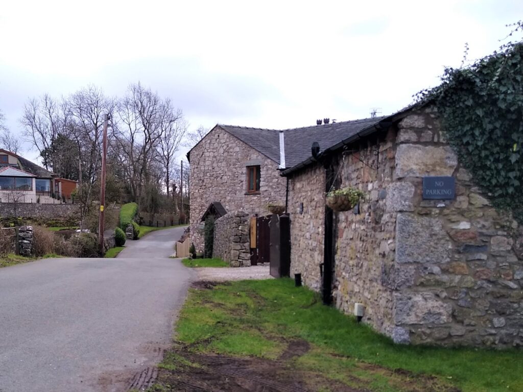
The two alternate routes meet again where the path over the moss exist via a stile onto the small road into Carr Bank. Just beyond the house, there is a stile into a field where we head gently uphill with a gate ahead of us. At this point we are heading West and meet a path heading approximately North – South. We will be heading South in a moment, but before then it is worth turning briefly North to catch a glimpse of Hazelslack Tower – an ancient monument.
Hazelslack Tower, like Arnside Tower is a ruined “pele tower”, probably dating to the late 14th century. It is thought that there was once a larger building was attached to it on the East side. The tower was originally divided into South and North halves, which could be secured independently.
The North half had a tunnel-vaulted ground room. The staircase was in the southern half.
Pele towers (sometimes spelled peel) are small, fortified keeps or tower houses, built along the English and Scottish borders in the Scottish Marches and North of England, mainly between the mid-14th century and about 1600. They were positioned to allow early sight of invaders and to make defence possible. Storage of food and water made siege conditions survivable, and the scale of the structure often conferred of status and prestige on the landowner. They also functioned as watch towers with signal fires being lit by the garrison to warn of approaching danger.
From the tower, we head back South / South west through sparse woodland and tracking the direction of the small road. The footpath soon brings us back to the road at a junction where we turn left and head East along the road.
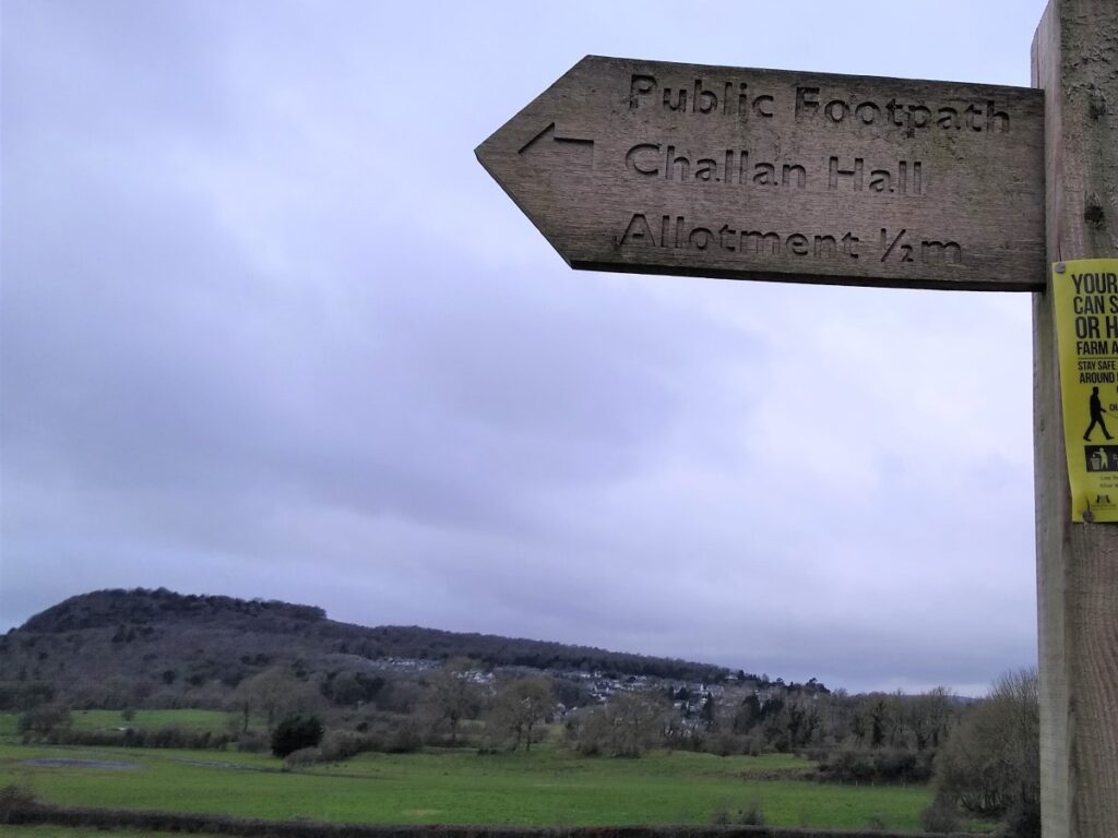
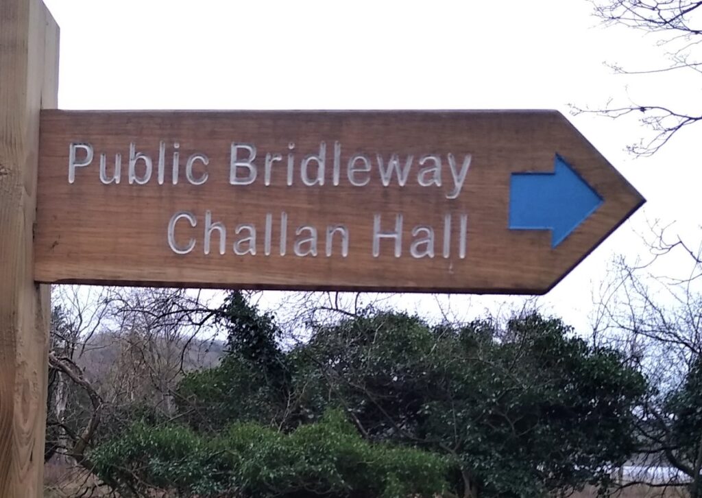
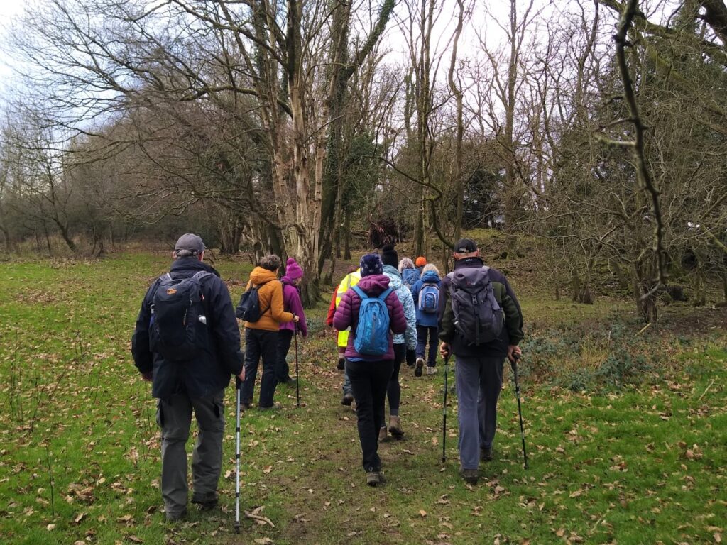
We pass another junction, now bearing right and look out for a footpath signpost on the right directing us toward Challan Hall Allotments. The “allotment” is an area of ancient woodland – so don’t expect garden sheds and runner beans.
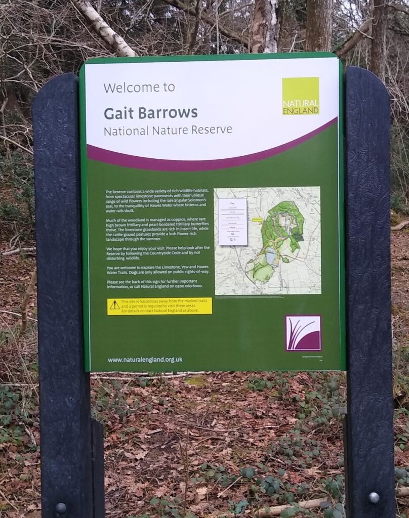
The path is clear and easy to navigate through the woods, and we soon arrive at a stile out onto a (very) minor road. We cross straight over and pick up another path through woodland – this time the Gait Barrows national Nature Reserve.
As the path meanders south, we approach Hawes Water, and meet a well made path around the lake. Here we turn right, to head SW toward Challan Hall.
Just before the track curves round to meet the road, look out for a path on the left which takes us through fields toward the lake, and Hawes Water Moss. This is a good place for a lunch stop.
When we press on, we track round the back of Challan Hall and come back to the road. We turn left, and almost immediately see a path heading away from the road on the opposite side. We take this path. This takes us over small field to a second road which follow very briefly to the left before finding a continuation of the footpath on the right hand side.
As an aside the small field was once the garden centre at Waterslack.
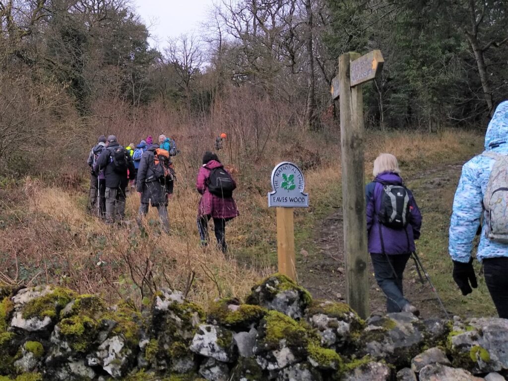
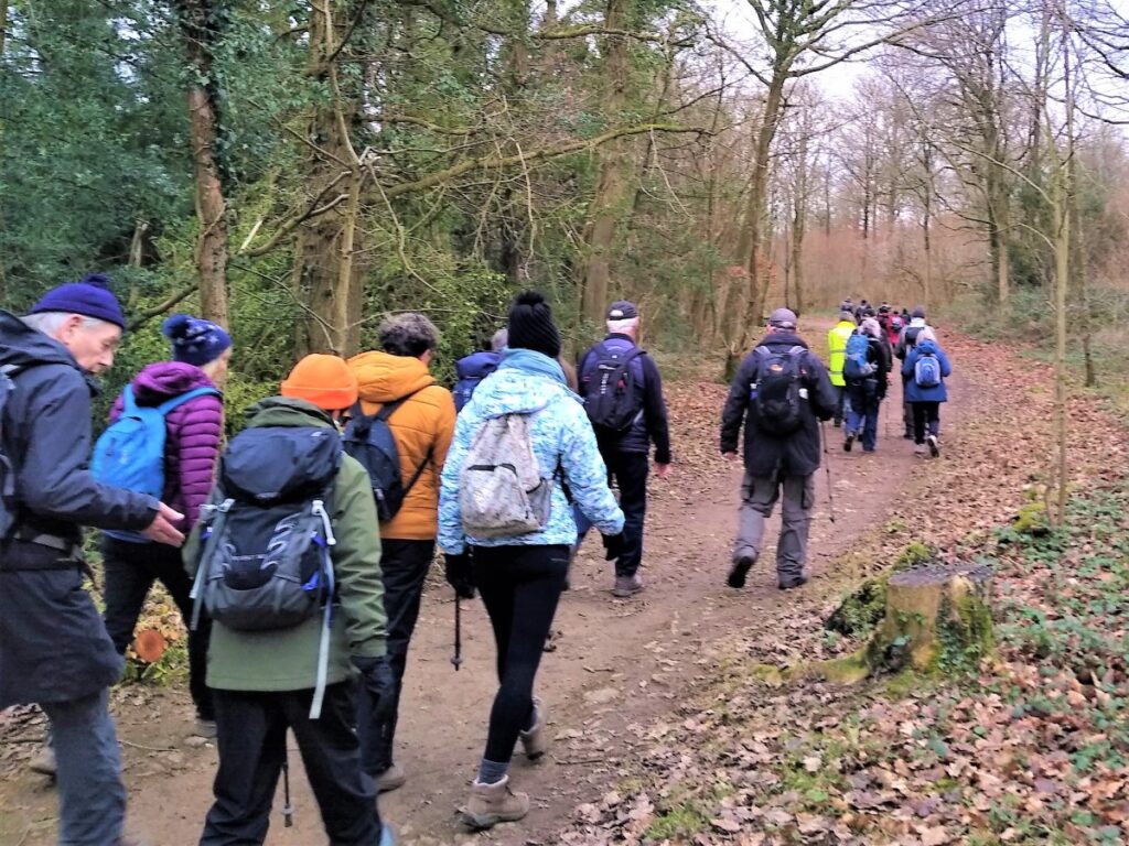
The footpath takes us over a railway crossing and back into woodland where we track round the base of the hill approximately following the contour lines: The woodland is Eaves Wood, and the Hill is King William’s Hill.
We are now heading toward Elmslack, and we see a number of paths leaving the wider track that we follow: Paths on the left work down toward Silverdale, and to the right up to the Pepper pot monument. Other walks in this series use these side paths, but for this walk we carry on around the base of the hill, through the edge of Elmslack and up to the caravan park.
Once we enter the well manicured grounds of the caravan park, we maintain a northerly direction, and soon re-enter woodland before arriving at a double gate with Arnside Tower ahead of us.
The tower is not considered structurally safe so don’t enter.
To the left of the tower (i.e. downhill) we see a farm. We head toward this and pick up a path around the edge of the farm which connects with a well made lane that takes us back to the Silverdale to Arnside road. Here we turn right and return to our starting point.