The Bentham Footpath Group presents walks all over the Yorkshire Dales, Forest of Bowland, South Lakes and associated areas. It’s therefore easy to forget that we have great walks on our own doorstep.
This walk then, is a reminder of how lucky we are to live here.
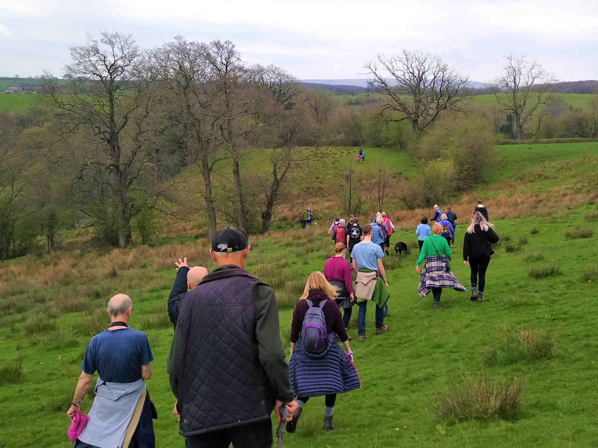
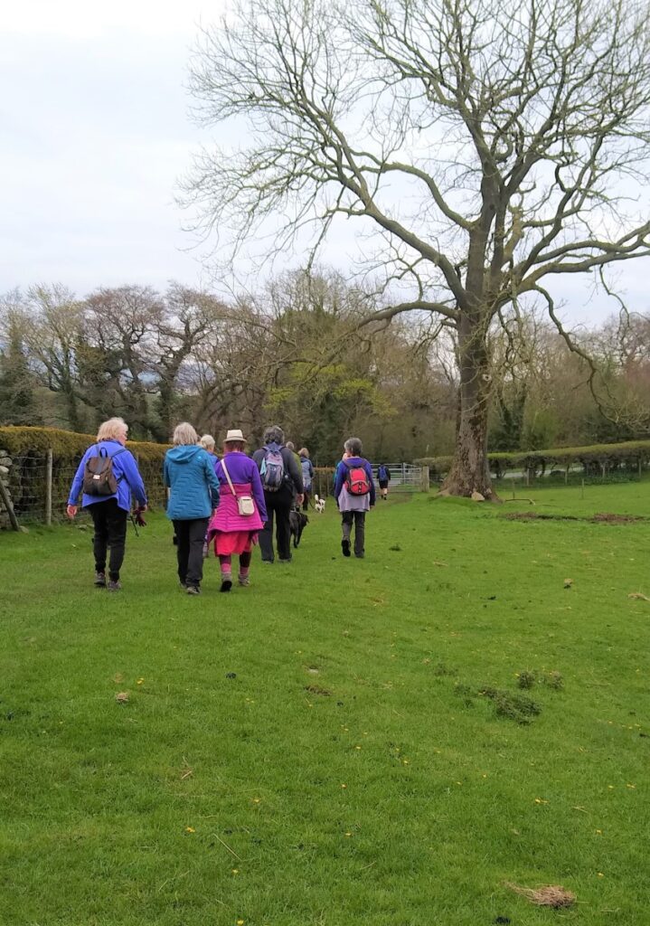
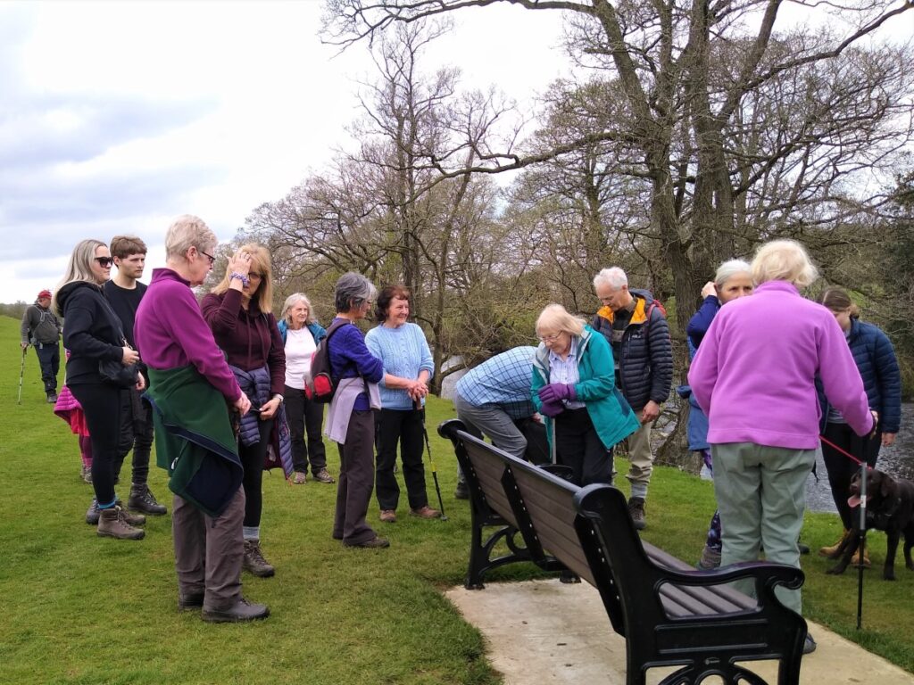
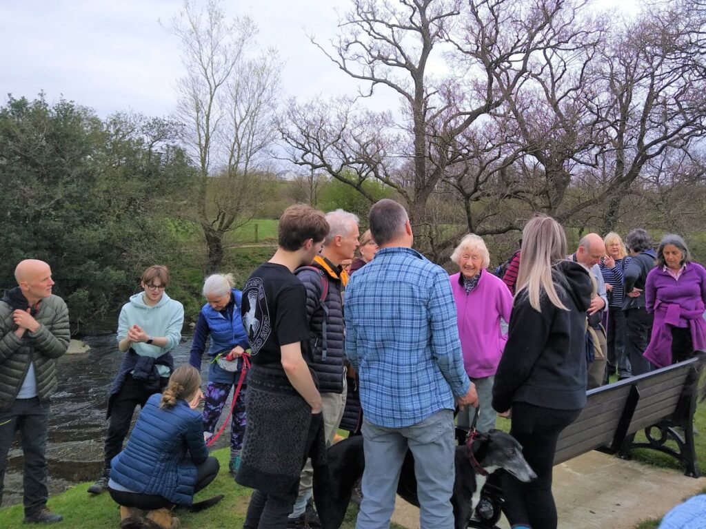
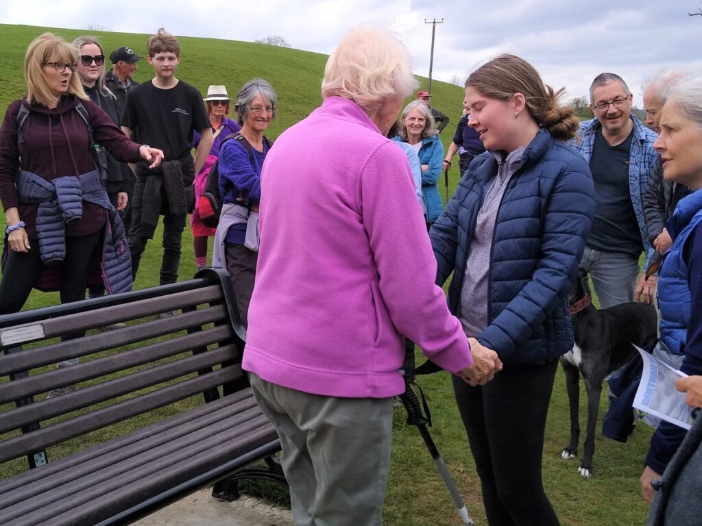
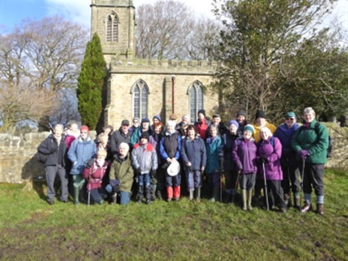
The walk also remembers Dorothy Stubbs, a popular group member, and this easy route was chosen to allow as many family and Bentham Footpath Group members to join us as possible.
Although the route passes a number of places particularly associated with Dorothy, those who were not lucky enough to know her will still find this a great local walk with excellent views.
Parts of this route intersect with the Bentham Heritage Trail walks, and we would also recommend them to you – details from the Tourist Information Point at the Town Hall.
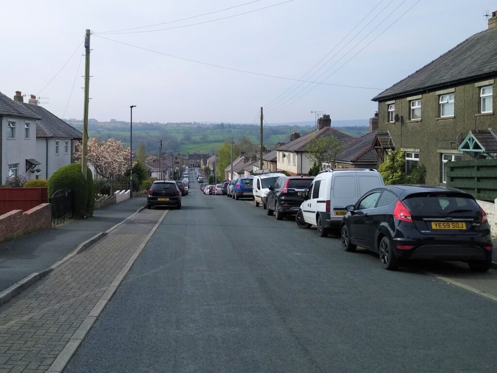
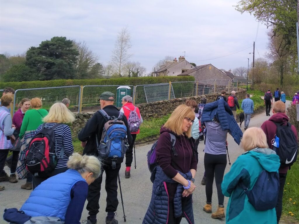
As ever, we start at Lairgill car park – this is a convenient place to park if you are coming in from outside Bentham. If you are more local – you can easily pick up an alternate starting point.
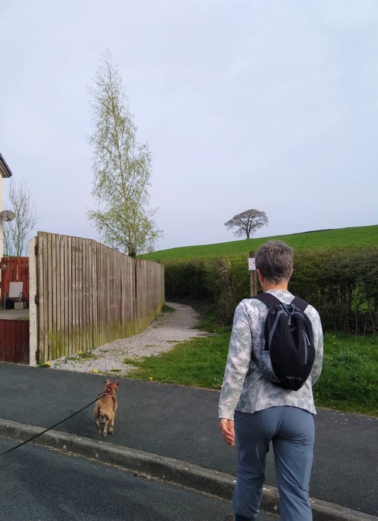
From the car park we head up Butts Lane to Robin Lane where we turn right, initially heading toward Ingleton. We keep an eye open for Lakeber Drive where we turn left, and head down to the end where Lakeber Drive becomes Goodenber Road.
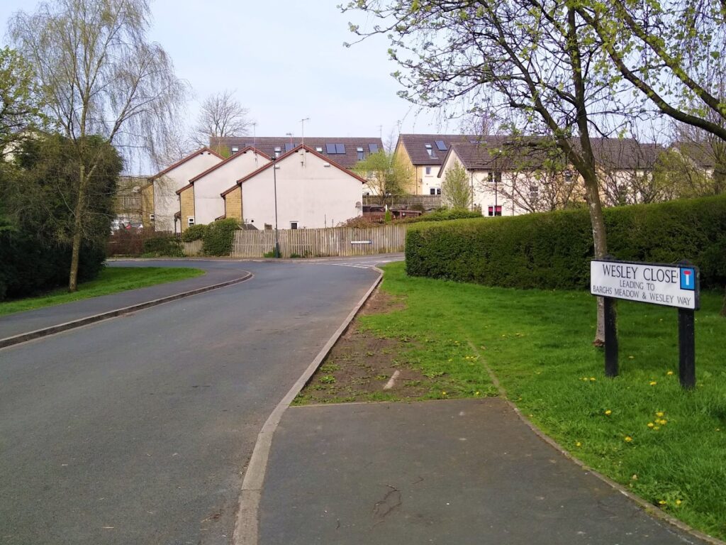
We head down Goodenber road, and as it levels out take right onto Wesley Close, and then right again onto Barghs Meadow where we find the public footpath sign leading us behind the houses.
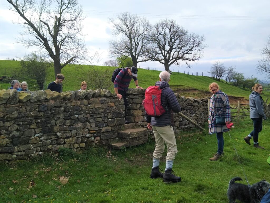
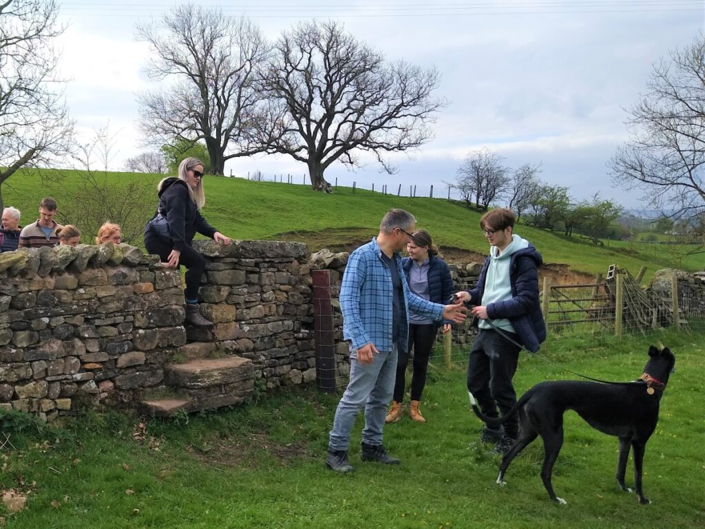
At the end of the houses, we cross a small step stile onto the bottom of a field which we cross to find a second stile. Here we turn left and head uphill. Note that as an alternative for another day the path also continues across the field and that is a good route over to Burton in Lonsdale.
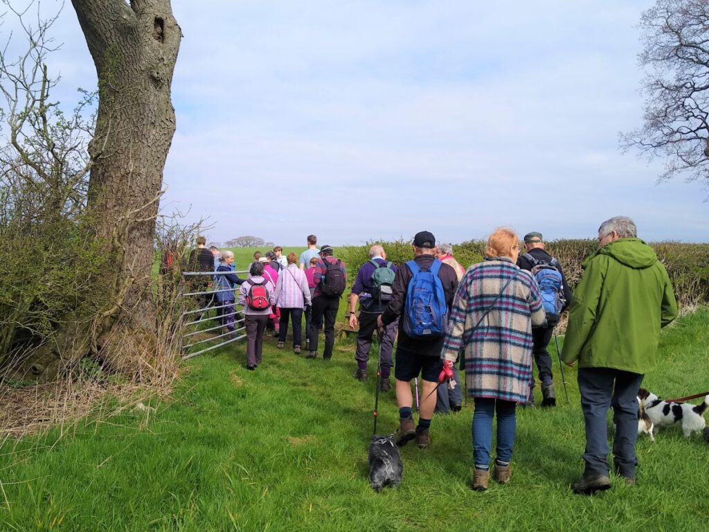
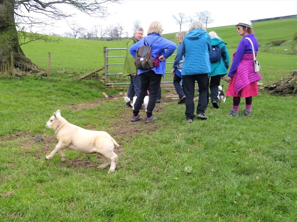
We cross another stile and continue with the hedge on our left to meet the main road at a squeeze stile. Here we turn right and walk along the road in the direction of Low Bentham.
We pass the school on the left and a builder’s merchant on the right, and then look out for a footpath leading out across fields on the right.
Go straight across the field – we are heading for a stile in the opposite boundary, which does not become visible until we are more than halfway across the field.
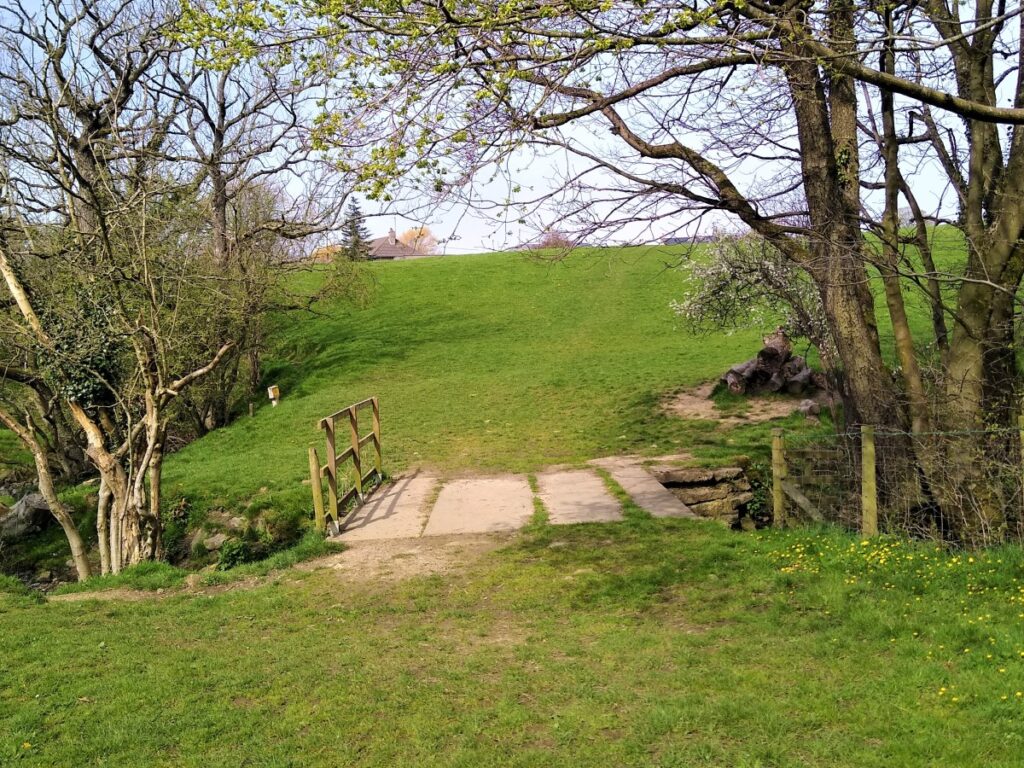
We cross the stile and enter an un-grazed area of land with a stream where trees will soon be planted in Dorothy’s memory.
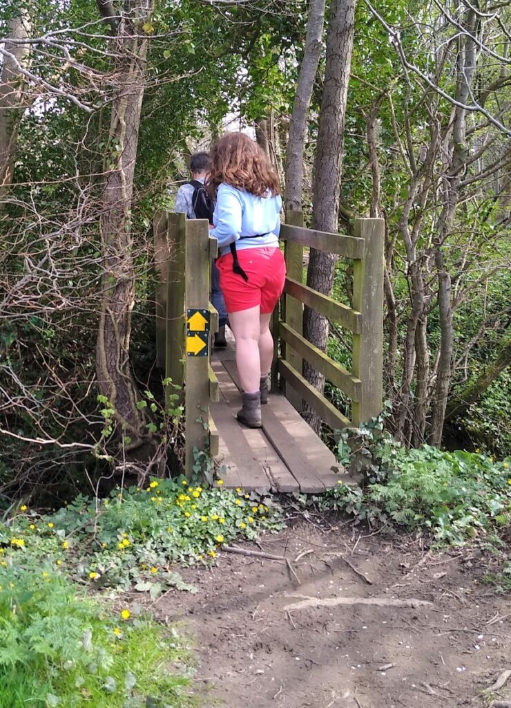
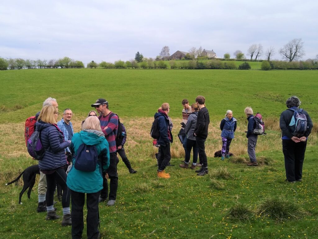
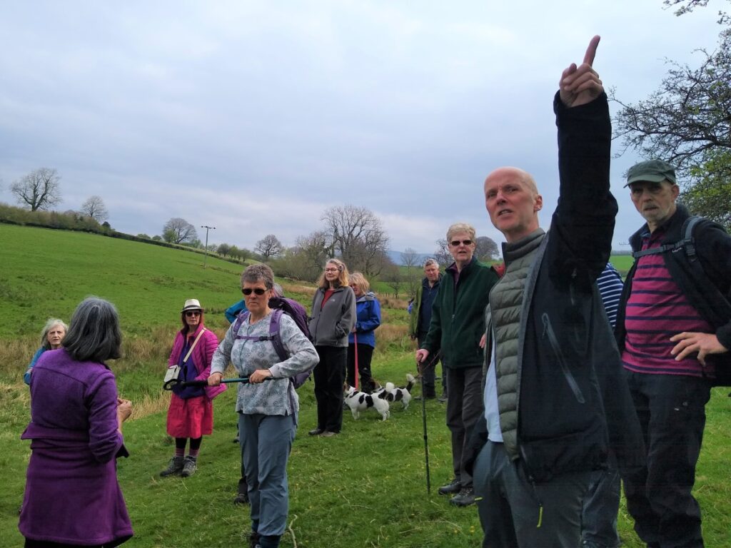
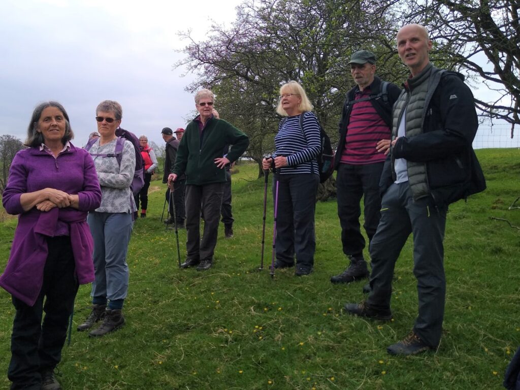
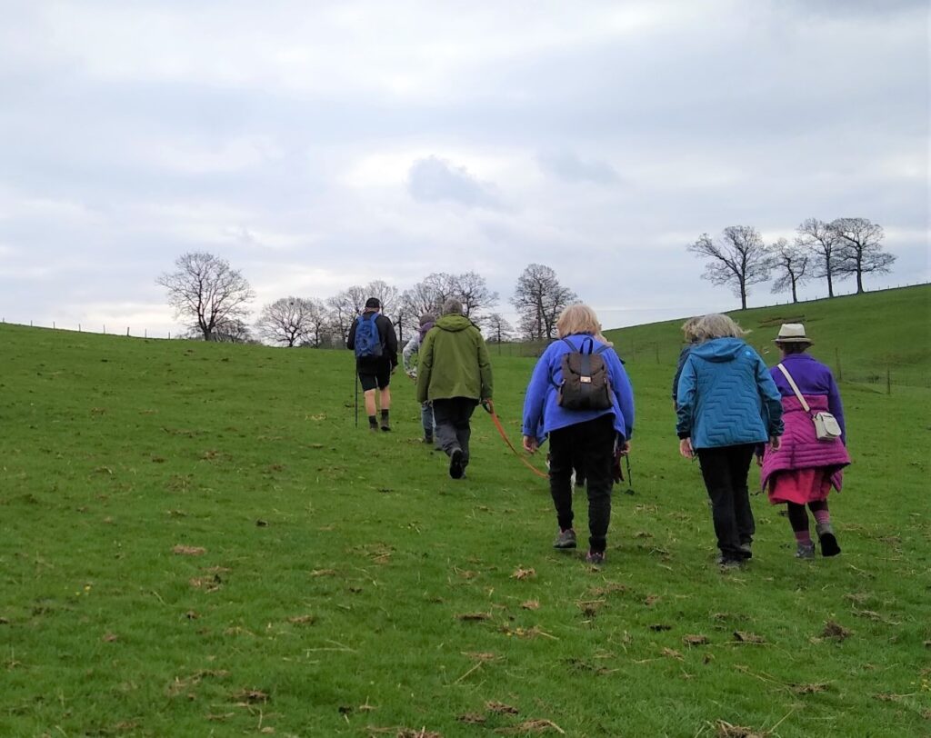
We head left along the stream to a small footbridge and stone stile into a grazed field before heading uphill to another stile in the wire fence. This is a good place to pause and look back at High Bentham.
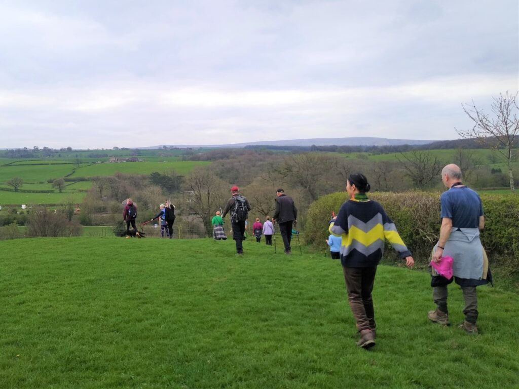
The path continues to head uphill to the top boundary of the field, now with views of Low Bentham. We keep the hedge on our right, until we arrive at a gate and stile leading into a narrow wheat field.
Across that narrow wheat field, we see another gate where the path continues along the edge of the field with the hedge on our left. At the end of this a steel gate gives access to a lane which we follow until we meet the Burton Road out of Low Bentham.
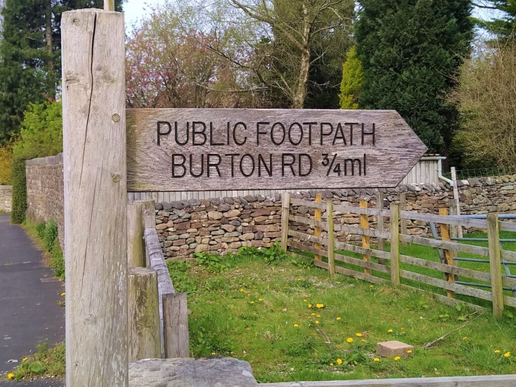
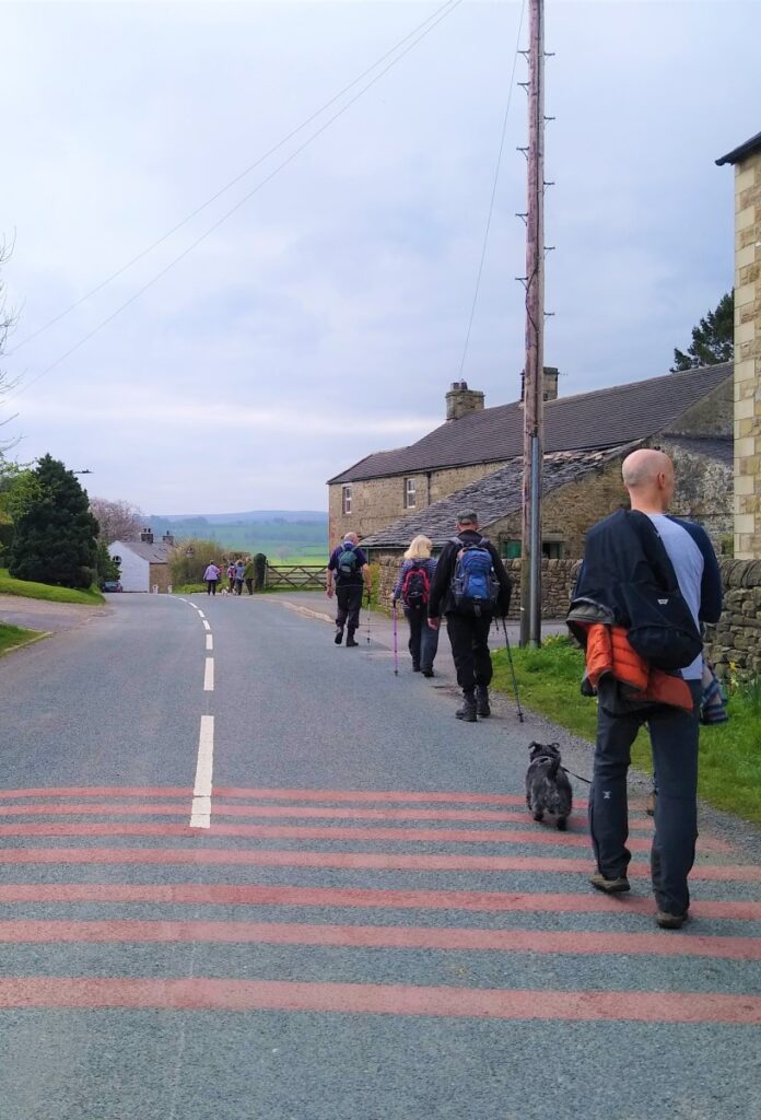
Here we turn left and walk on the right hand side of the road ensuring that we use the footpath down to Cross Lane.
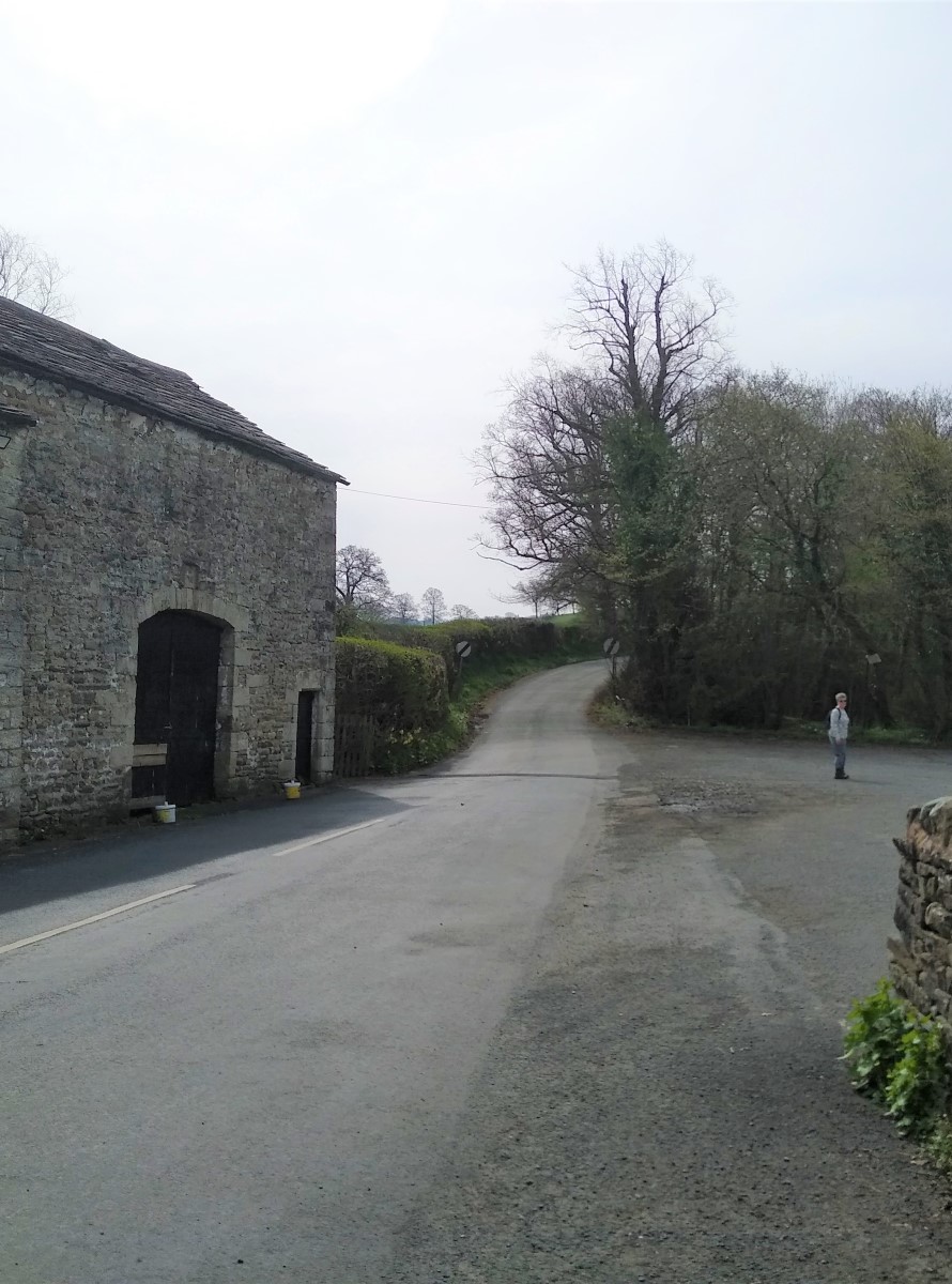
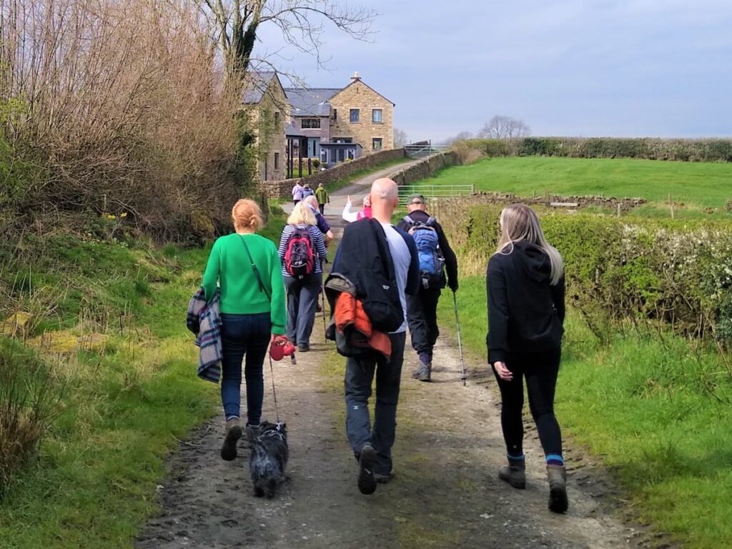
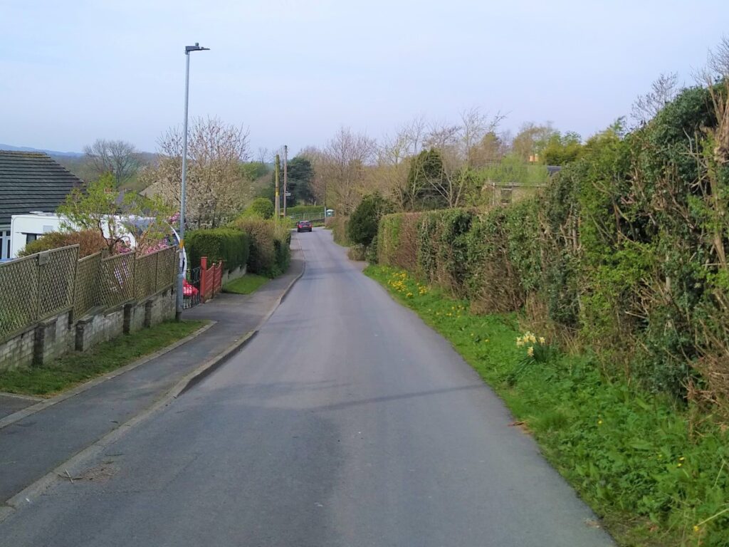
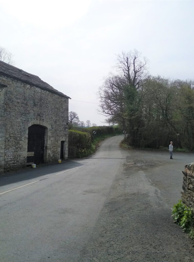
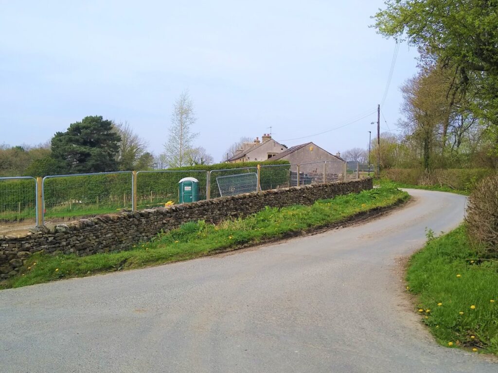
We follow Cross Lane downhill until it veers sharp left, and we take the lane that continues ahead (in fact slightly right) – not the hard right which goes over to Burton. We pass a number of houses along this lane and keep our eyes open for a footpath sign on the left just before a brick built farm building.
This takes us onto a narrow path up to a gate and then more open fields.
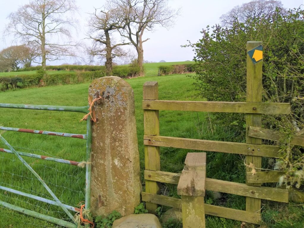
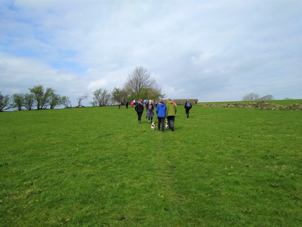
We cross to the top of the first field and see a gate on our right where the path continues. We now need to look for the marker post which indicates the path heading downhill through ground that can at times be a little wet.
Our destination is a stile at the top of the “fairy steps” above the railway viaduct. Note that if the ground here is too boggy it may be possible to loop round and stay on high ground for a while longer before heading left toward the railway.
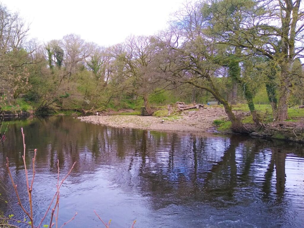
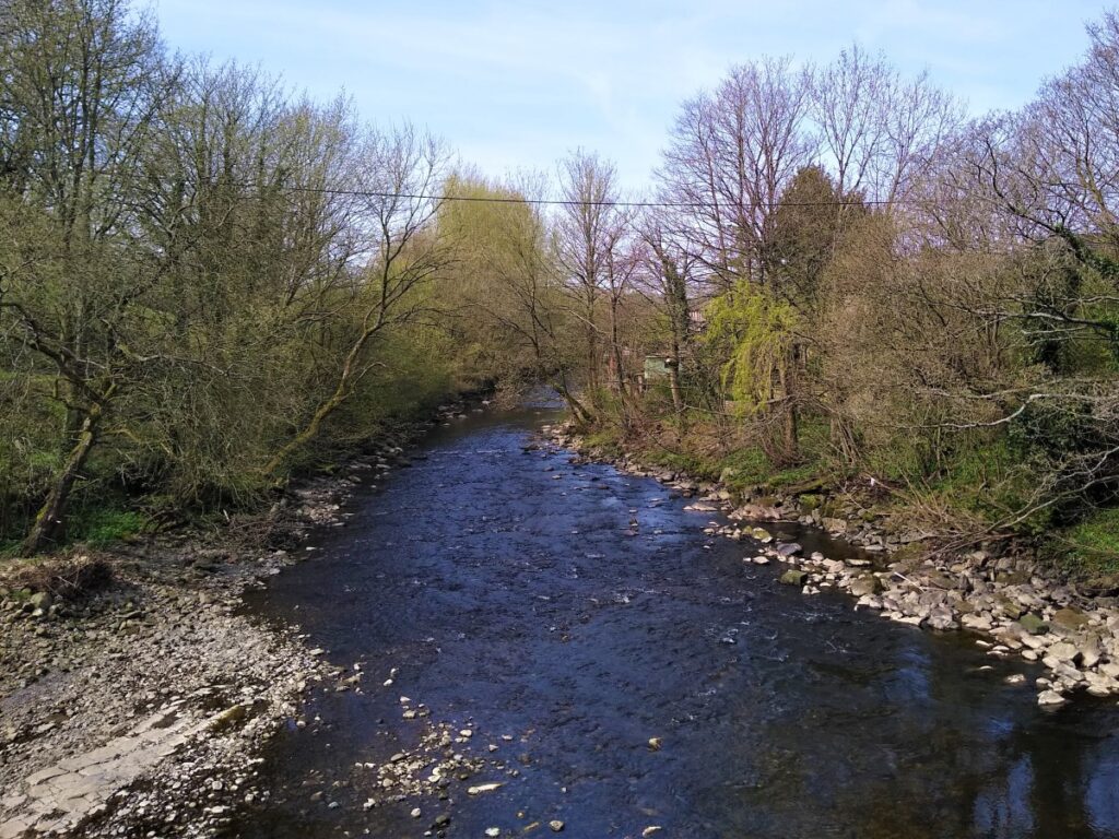
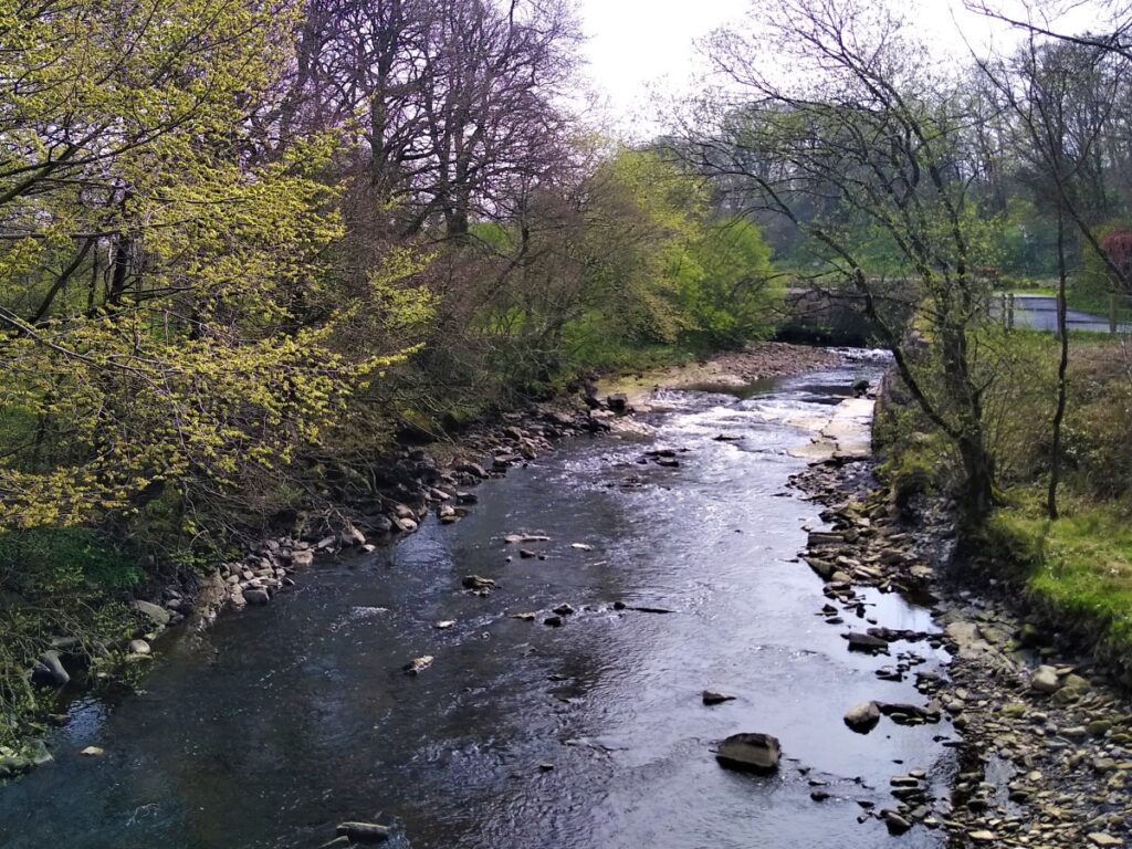
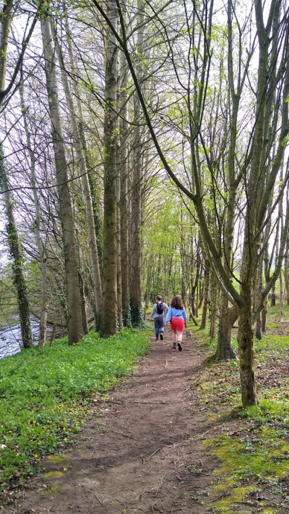
At the bottom of the steps we follow the path round to pick up the riverbank, passing under the railway bridge and then along the riverside path to meet the main road.
Here we turn left and head back toward Low Bentham. Take care here – it may not be obvious that the stile is directly onto a main road (with no pavement).
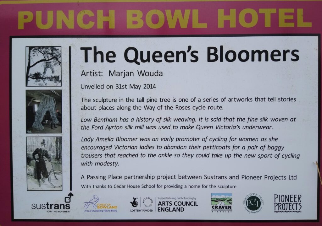
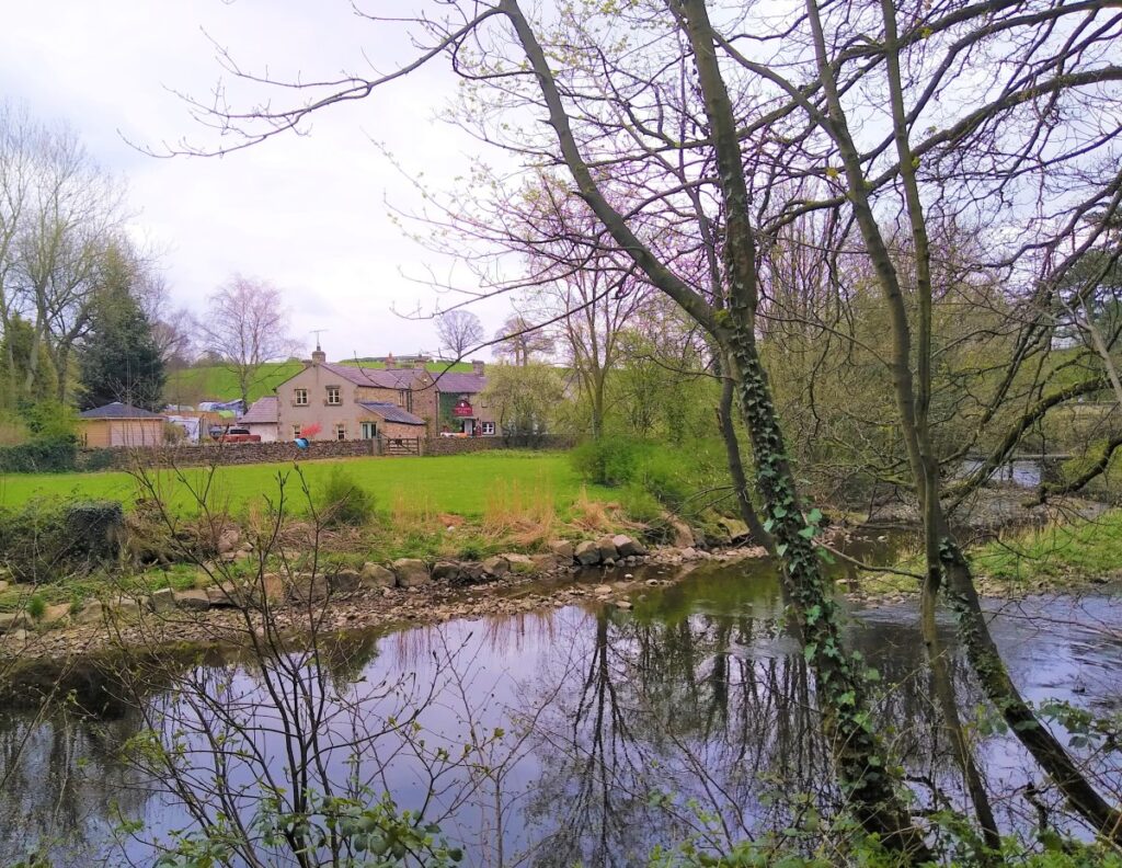
We cross the road bridge over the river Wenning and take the right hand side of the road ready to head up Eskew Lane – in front of the Punch Bowl. We are on this road for just a short while – and need to keep a look out for a stile into a field as the road veers right.
We now cross a number of small fields – at stiles / gates – until we see a house come into view. The path goes just to the right of the house and then down to a double gate onto Mill Lane out of Low Bentham.
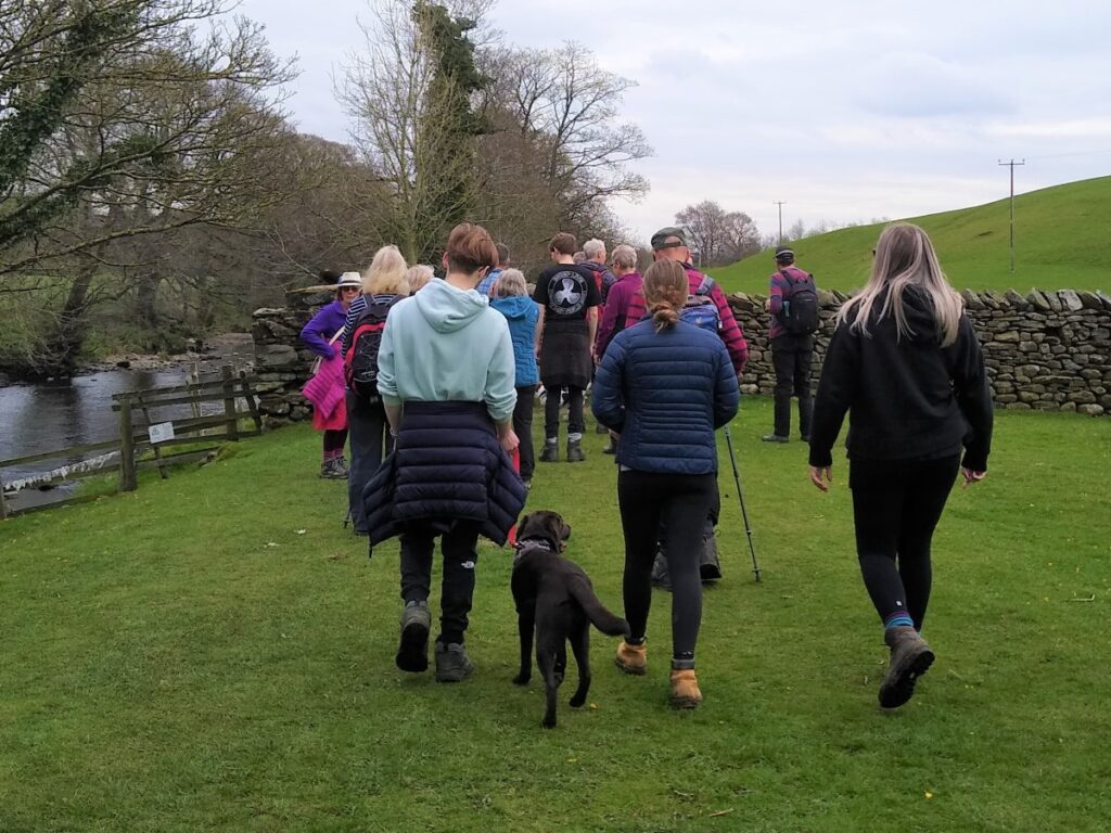
Here we cross the road and pick up the path on the other side to head along the riverside path upstream along the Wenning back toward High Bentham.
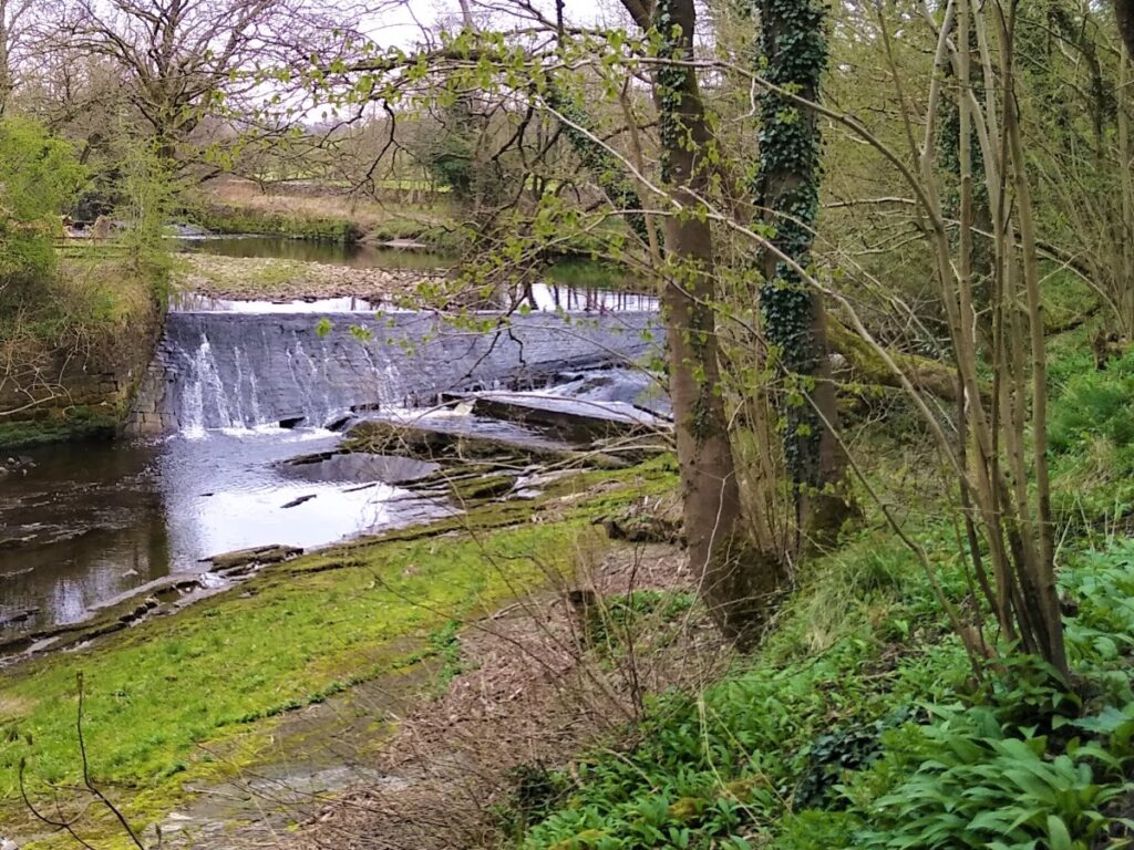
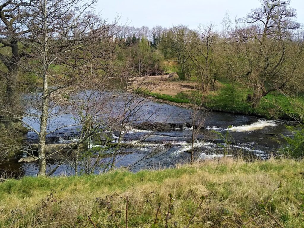
We pass the weir and the fish farm on the far bank before crossing a stone stile onto flat pastureland alongside the Wenning.
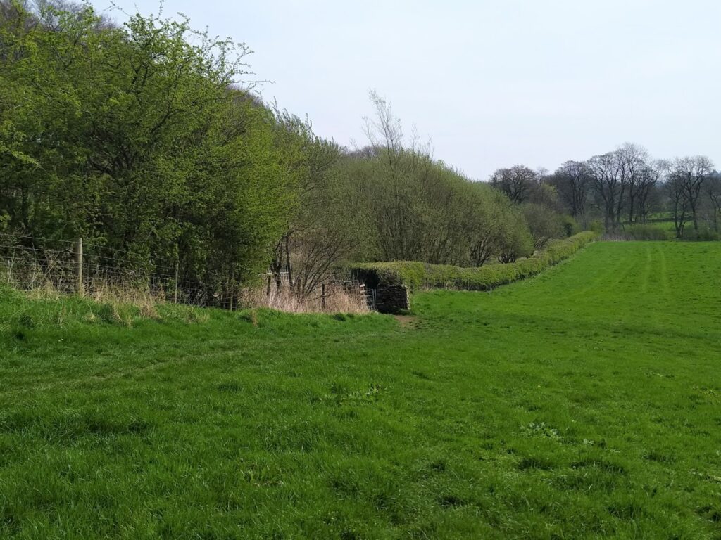
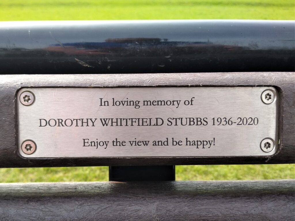
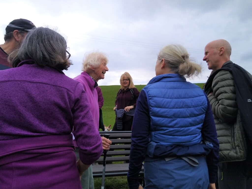
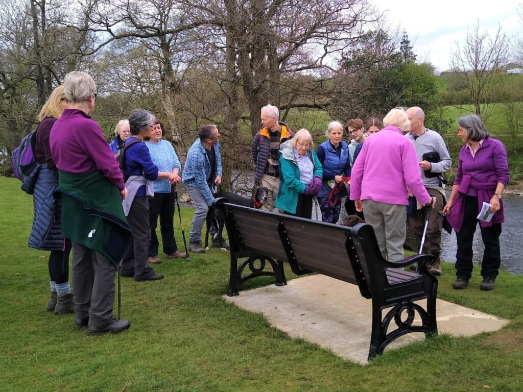
We cross two large flat fields, and in the second is a bench in Dorothy’s memory.
Beyond here the path crosses a small footbridge and then a stile – before continuing left along the hedge and heading toward the caravan park.
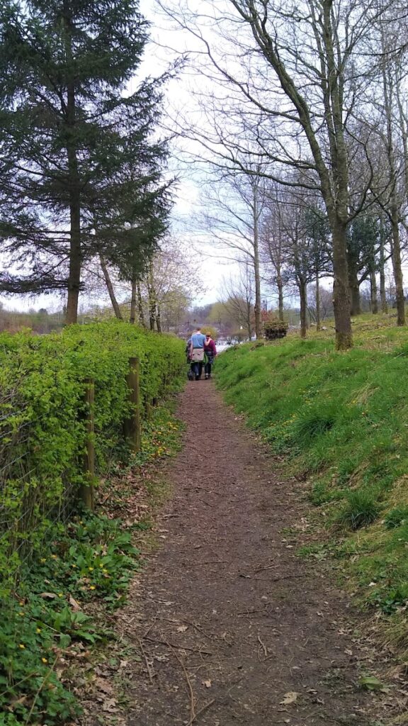
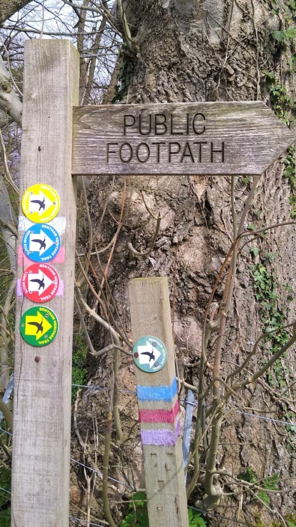
A further stile and then a kissing gate leads us down a narrow path into the caravan park where the footpath continues, with helpful signage to keep us on the straight and narrow.
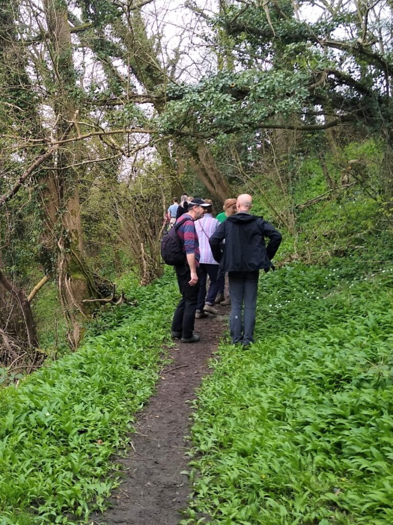
At the far end of the caravan park, we take the path over a small footbridge and then though woodland at the edge of the Wenning eventually exiting onto Thickrash Brow where we turn left and cross the river.
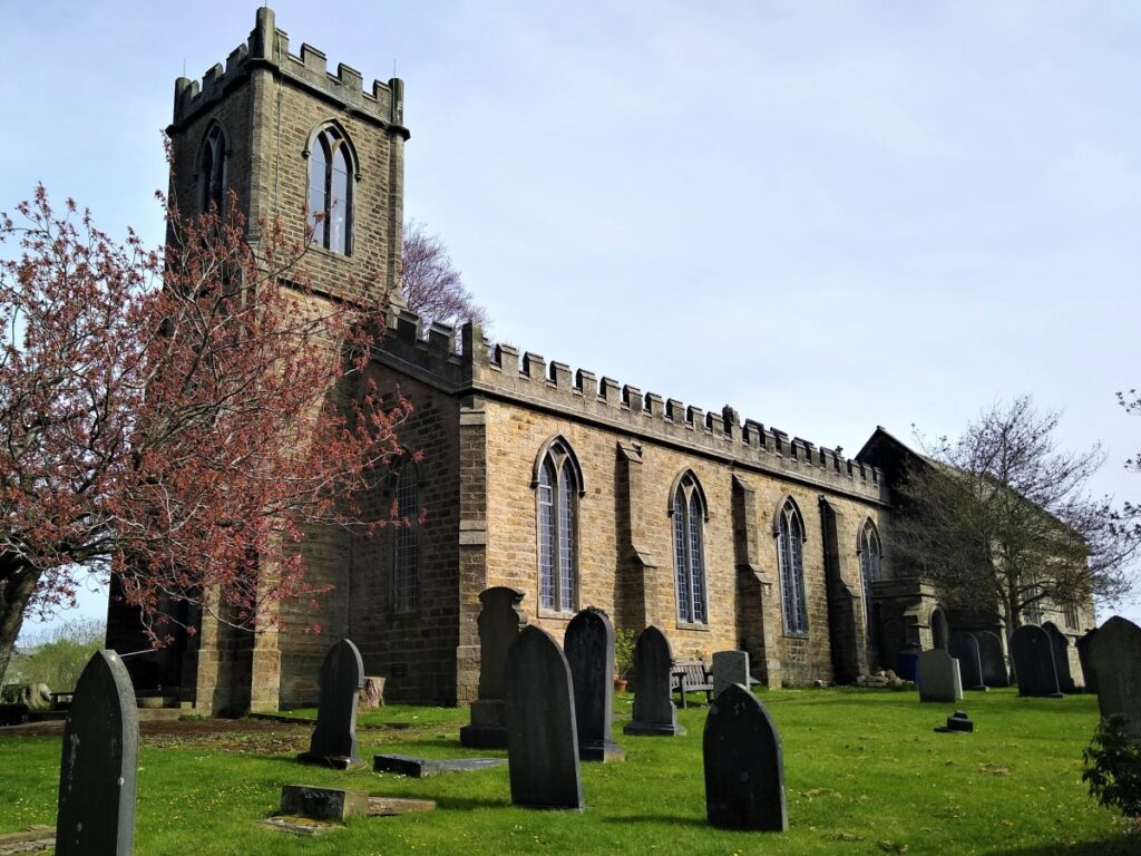
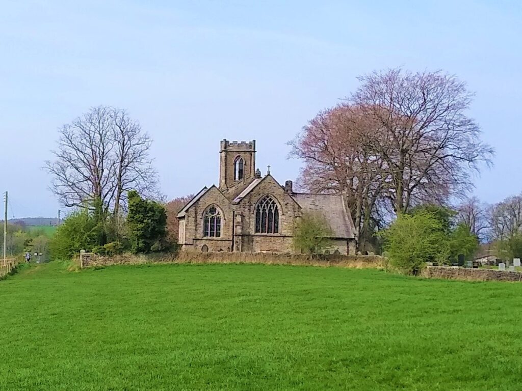
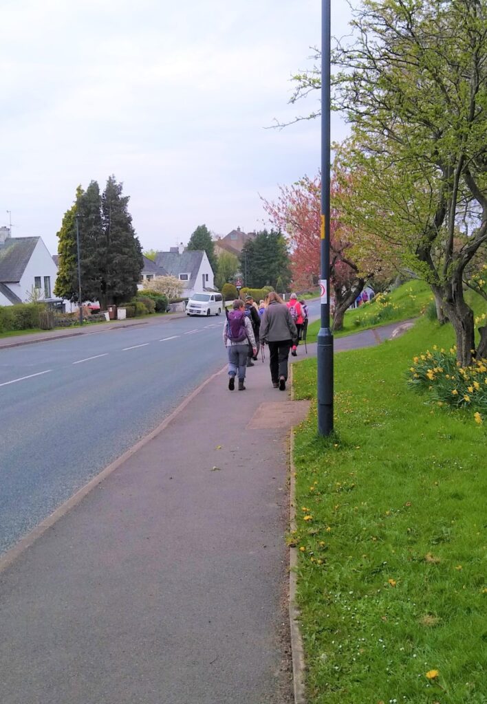
We then follow the road up toward High Bentham, initially heading toward the old church on the right. At the access road for the church, the path continues, and we follow it uphill keeping the church on our left and the allotments on the right.
At the end of the field, we pass through a gate and continue, keeping the railway line on our left until we meet a safe crossing where the path carries on uphill on the far side of the railway.
Again, we keep the hedge on our left until we arrive at the top of the field with good views over High Bentham.
Here our path turns left and heads back down toward Bentham, crossing a stile, a flat bridge, and then another stile before picking up a path between houses and back to the main road and Lairgill car park.