Jump to . . .Step by Step | OS Map | Downloads | Gallery | Fly through
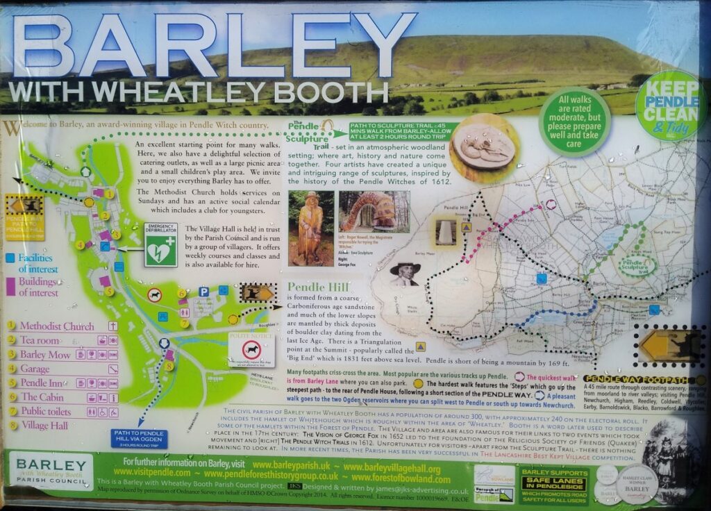
The village of Barley sits right next to Pendle Hill and is a good starting point for walks up the hill or – as here – to the surrounding moors.
Our walk starts from the car park at the village centre and takes a loop that offers excellent views in three fundamentally different directions;
- Initially over to Pendle hill,
- then over to the Forest of Bowland and the Yorkshire Dales,
- and on the return leg, over the Colne Valley toward Boulsworth Hill and the Forest of Trawden.
Pick a good day for this walk and the views are excellent, but the paths are less well trodden than the obvious Pendle Hill routes, so care is needed with navigation, and we recommend using GPX for this walk.
- Total distance 12.3 km (7.7 miles)
- Total Ascent 486 m
- Moderate walk
Step-by-Step
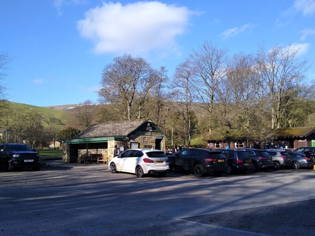
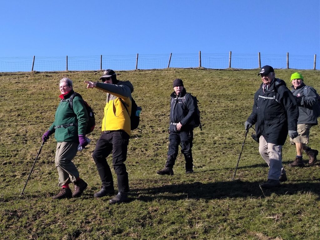
We start at the pay and display car park in the centre of Barley village. This is a popular site so early arrival may be needed to secure a space at the weekend or during school holiday weeks.

Once in the village, the carpark is well sign-posted and easy to find. Sat Nav users will find that postcode BB12 9JX works, the What–3–Words location is “airbrush / elastic / panel”, and OS map users will need grid reference SD823043.
It is thought that Barley dates back to the 13th century, initially as an simple agricultural settlement. During the 18th century, as was the case in many villages in Lancashire, textiles began to be manufactured on a small craft scale as an extra source of income.
The various water courses around Barley offered an attractive source of waterpower which soon led to the expansion of manufacture and the building of several cotton mills such as at Narrowgates (which we pass later in the walk) and Barley Green (just to the South of Barley).
At its height, the Barley Green Mill had 200 looms. Little remains of this as floods destroyed the building in 1880. The cotton twist mill at Narrowgates however, which was built by William Hartley to spin cotton warp thread still survives, as do the workers cottages which are now attractive private residences.
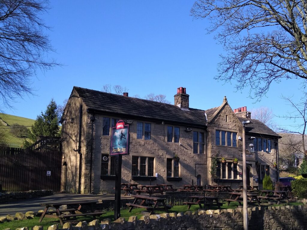
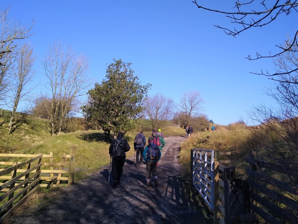
From the car park locate the path through the park that tracks North up the beck toward the village centre – the Pendle Inn will be clearly visible on your left.
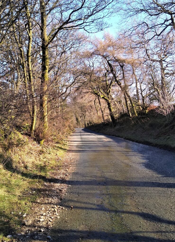
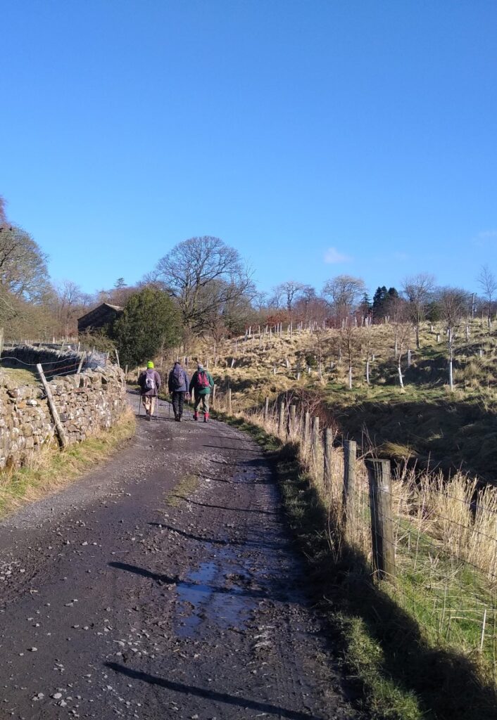
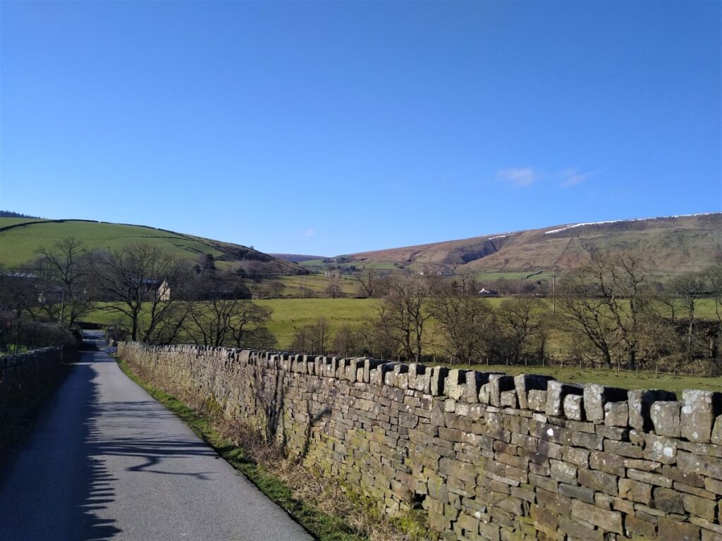
The path soon meets the road through Barley which we follow until it takes a sharp left, at which point our route – initially on a metalled track – continues straight ahead. The excellent surface here is needed to give vehicular access to the reservoirs that lie North of Barley.

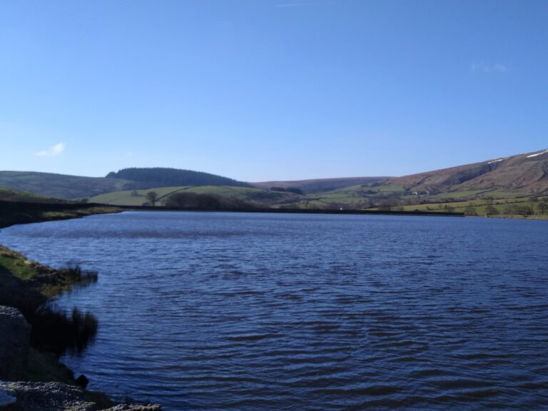
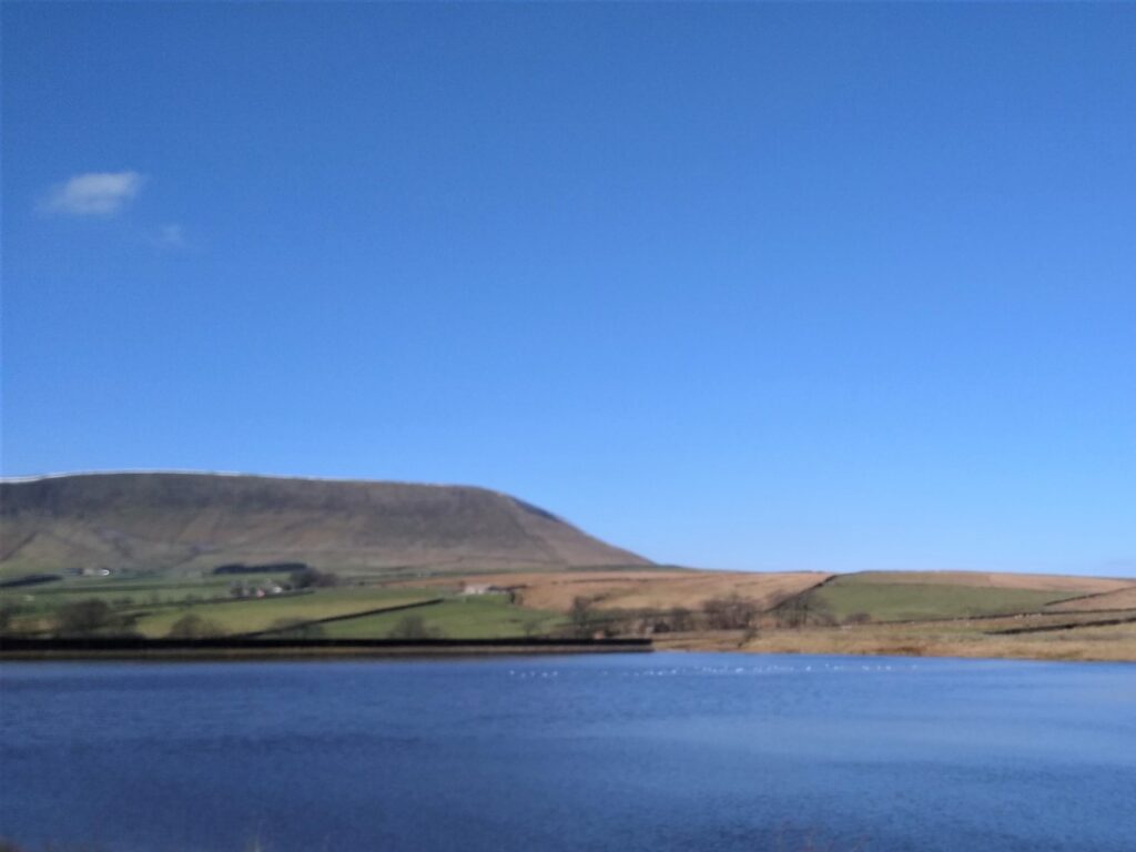
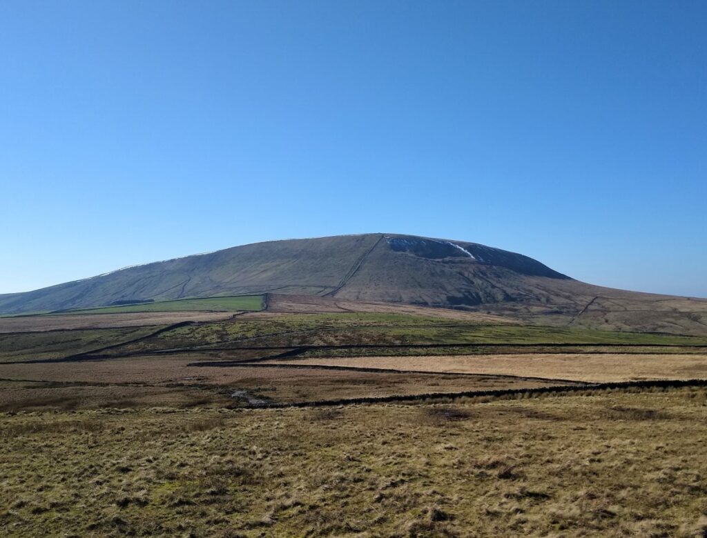
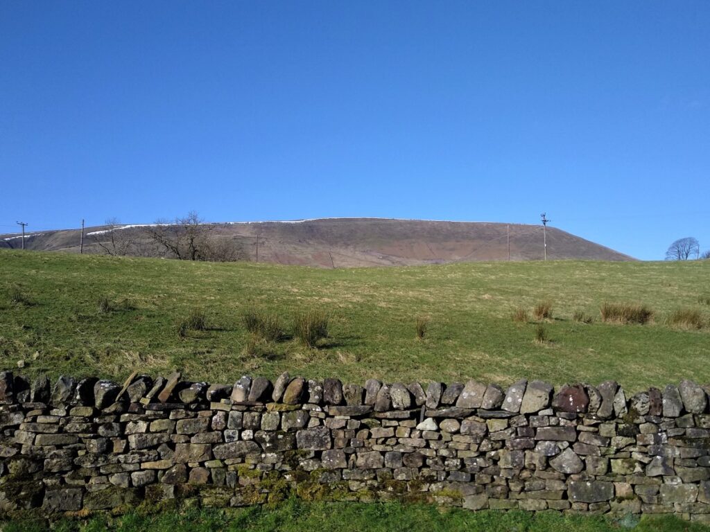
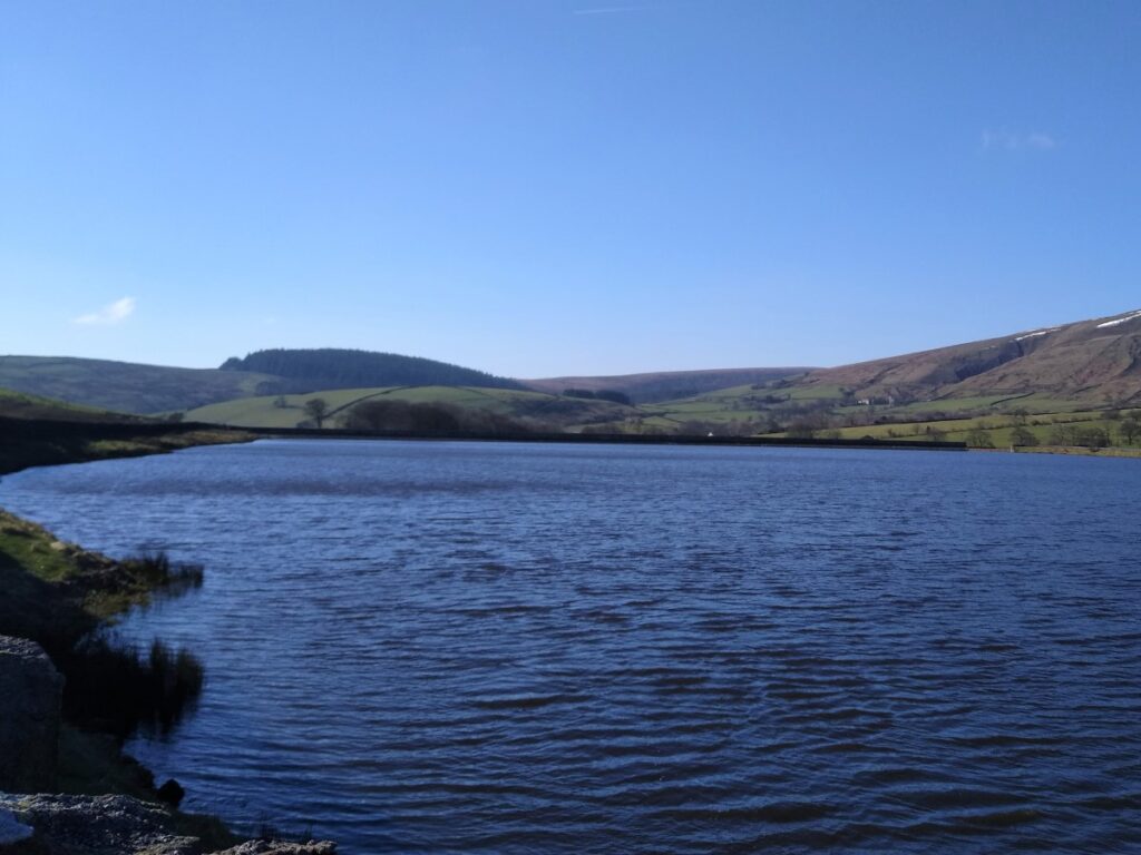
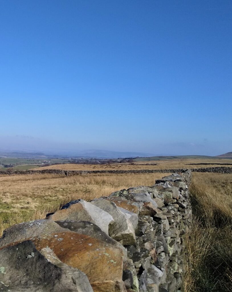
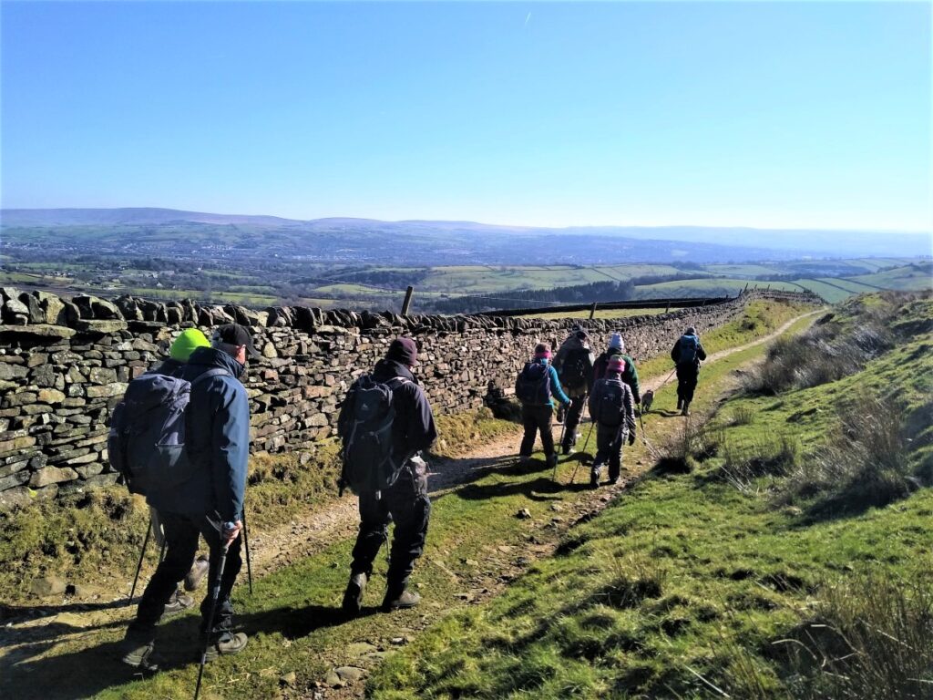
Our track turns right and heads Northeast between well maintained drystone walls toward Lower Black Moss Reservoir which supplies drinking water to Nelson – and as we climb, Pendle Hill is dominant on the left.
We continue past the lower reservoir to arrive at T Junction in the track. We take a right and continue around a second reservoir – not surprisingly called Higher Black Moss Reservoir.
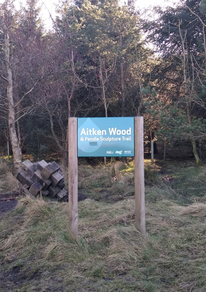
To the right of the higher reservoir is Aitken Wood, this is well worth noting to return to on another day, as there is an interesting path through the woods which includes a sculpture trail. Alternatively, you could add the circular sculpture trail to this walk, returning to the reservoir lane and adding 4.5 km (2.75 miles) to the total walk length.
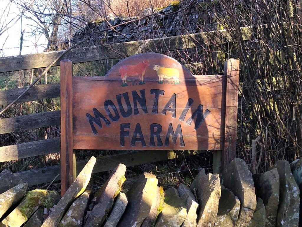
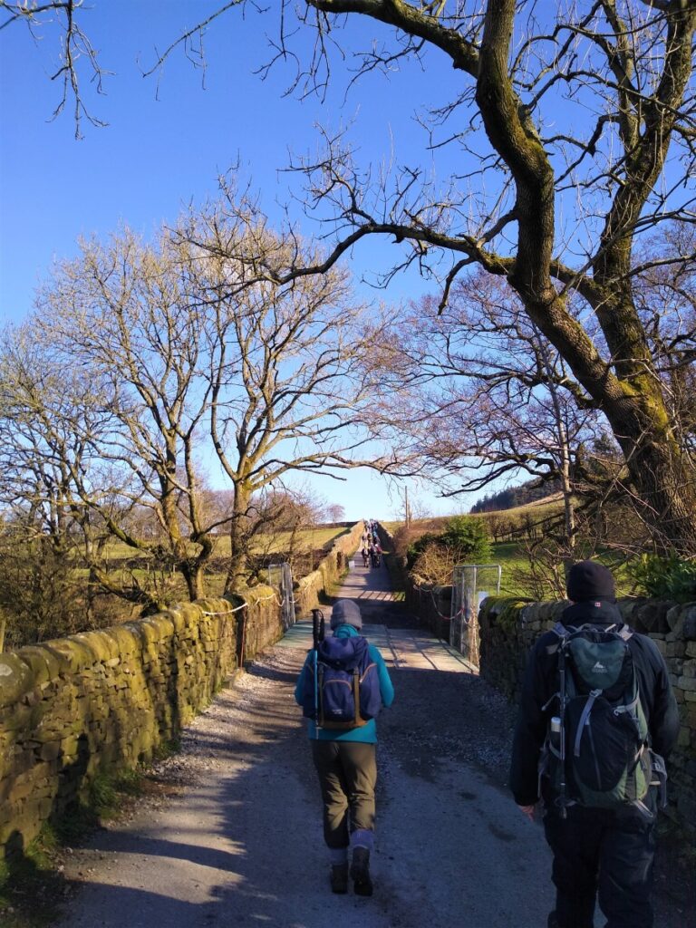
Just beyond the head of the second reservoir the path forks again, and this time we take the left hand option. This leads us up to a minor road which we cross to continue North on the other side of the road at Mountain Farm.


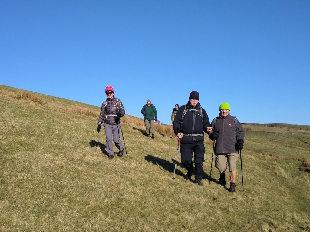
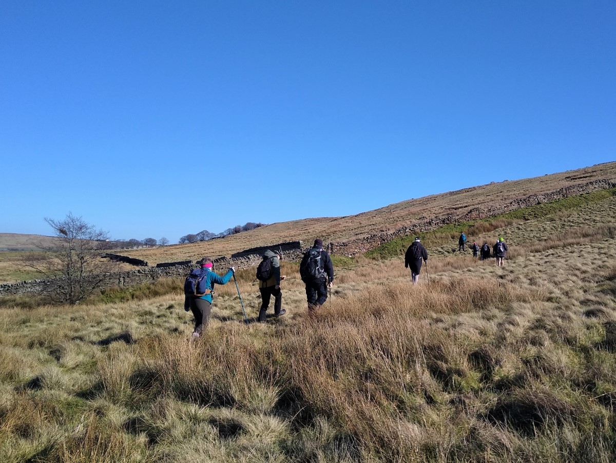
From here we head uphill along the somewhat muddy farm track where we meet another fork.
Again we take left following the line of the small stream with a wire fence field boundary on our right.
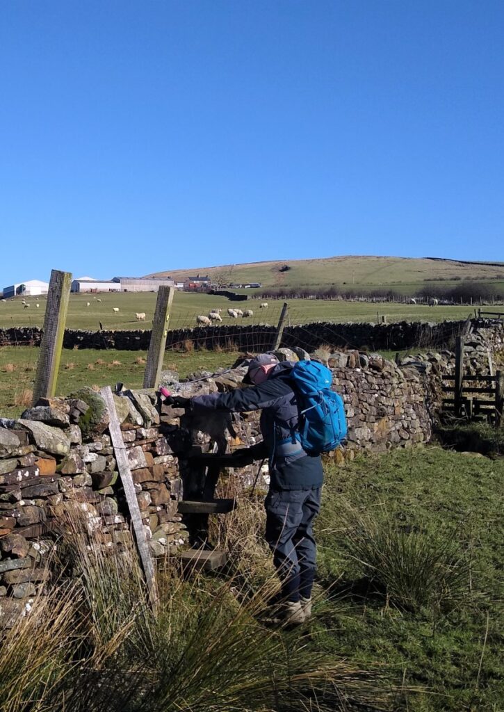
A short distance head we find a drystone wall with a stile which leads us into a field where we look left to see a pair of stiles that allow us to cross wire fences as we climb up the valley side to find easier level ground to the Northwest.
We now strike out diagonally across the field, climbing very gently, and crossing a small stile before heading to the corner of the next field where we find a choice of two stiles. We take the one that gives access to the path next to a clear – but inaccessible – lane. We follow the route of this lane for a while now – with the lane always on the right of our path. The ground gets boggy for a while, and it seems a shame that the comparatively well surfaced lane is not a right of way.
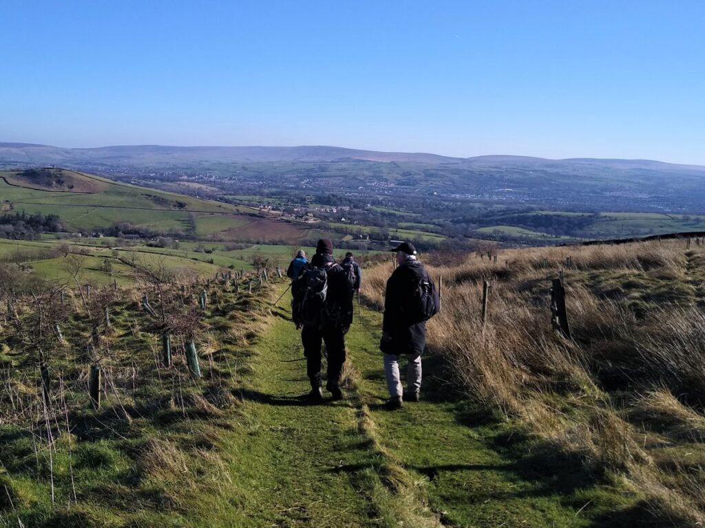
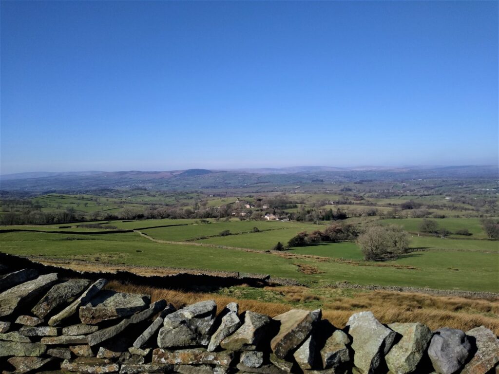
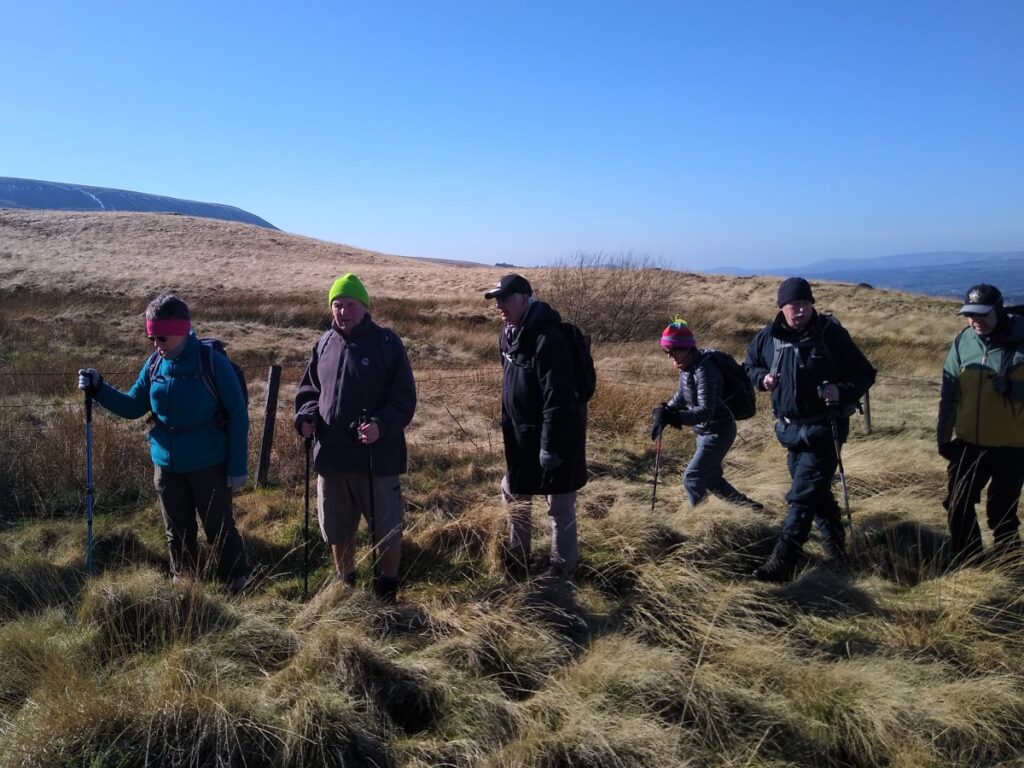
We continue to head Northwest, with Pendle Hill on our left until we meet a stile at a drystone wall. As soon as we cross this, an entirely new view opens to us: Clitheroe and Chatburn can now be seen to the left beyond the foot of Pendle Hill, and ahead we see our own “home patch” of The Yorkshire Dales and Forest of Bowland.

We pause in the shelter of the wall for a short break, and to enjoy the views, before heading slightly right and downhill to find a stile onto the lane we have tracked for a while now, at a bend where it now heads Northeast. The moorland to our right at this point is Twiston Moor.
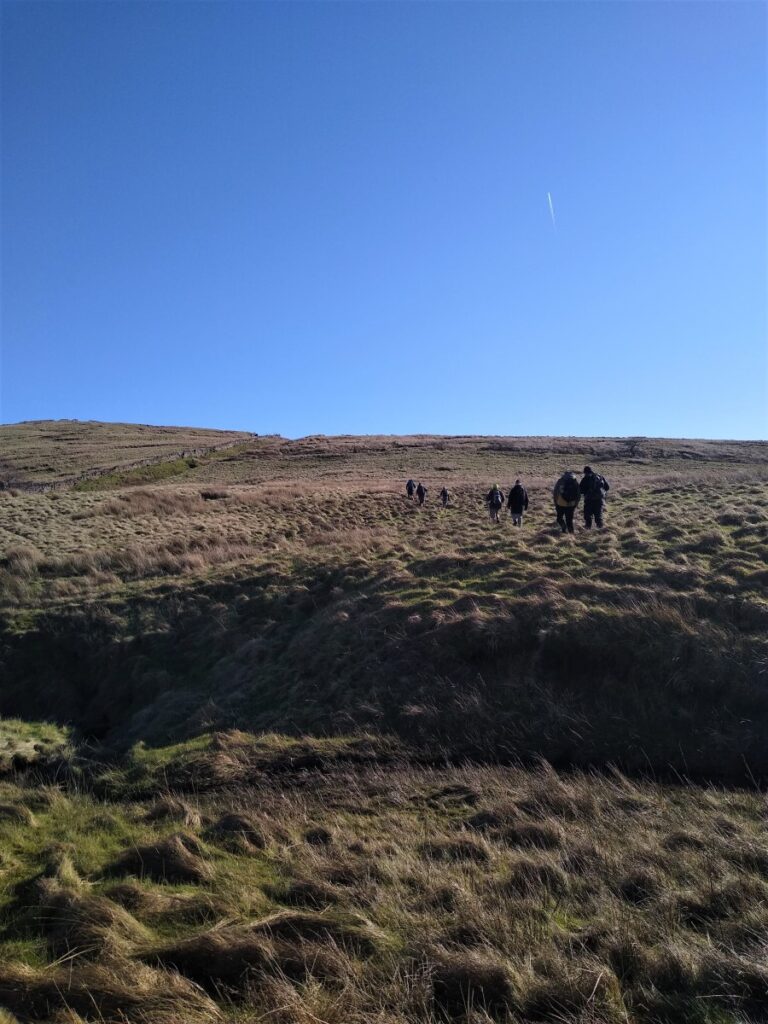
We follow the lane for a while until it arrives at a steep sided valley where we turn right and head up the side of the valley, now heading Southeast. We will be crossing the stream in the valley bottom, but don’t be tempted by a gate we see almost immediately on the far side. Ignore this and carry on up the valley before the path dips down to the stream at a crossing before heading over to a stile which gives us access to the path across Rimington Moor.
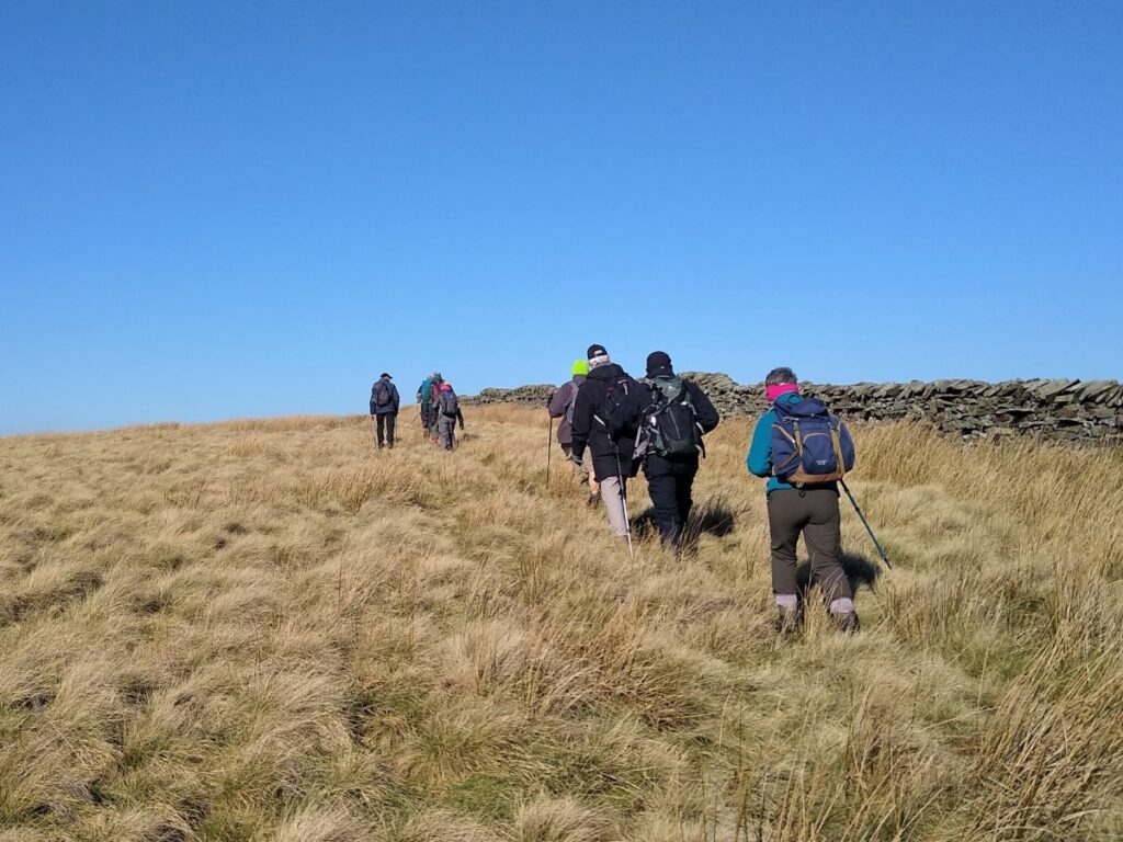
The path across the moor initially heads Northeast and follows contour lines so the terrain is reasonably flat, and we have a drystone wall on our left to provide shelter and navigation. As we follow the wall, we see a sheep pen come into view in the far corner of the field. The OS map suggests that the path carries on through the sheep pen. In practice, we found that its easier to take the stile on the left to navigate round the pen before heading right again to enter the field on the far side of the sheep pen, where we head Southeast to a clear bend in the wall.
Along this section we find some excellent signage that has been provided by the Peak & Northern Footpath Society. Given the number of paths available in this area, and the lack of obvious landmarks at times, these are a great idea. It is important to know though, that not all paths are shown on these signs, and the first of these is a good example – the route we need is just to the left of the suggested route to Firber House.
At the corner of the wall the path forks, and we take the right hand option, heading South with the wall on our right, following it until we arrive at a stile in the corner of the field leading out onto a moor with a stream just ahead of us.
This is quite a sheltered area, so a good option for a lunch break.
We cross the stream and now head uphill and slightly to the left to find a drystone wall and small stream which we follow – keeping the stream on our left.
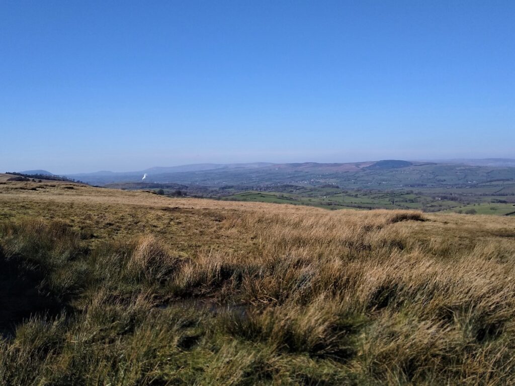
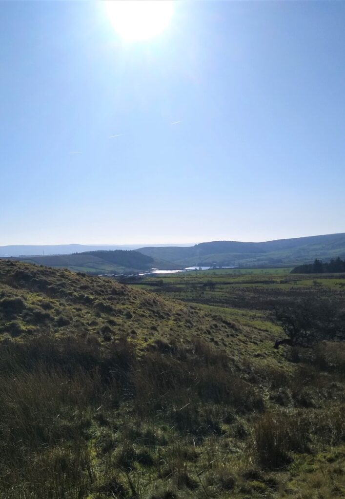
We continue to climb until we find a gate where we see a clear track heading downhill. This is where get our first glimpse of a new view –toward Colne with Boulsworth Hill beyond.
Blacko tower is also visible: This folly, also known as Stansfield Tower, was built around 1890 by local grocer Jonathan Stansfield, to provide a view over Ribblesdale from the top.

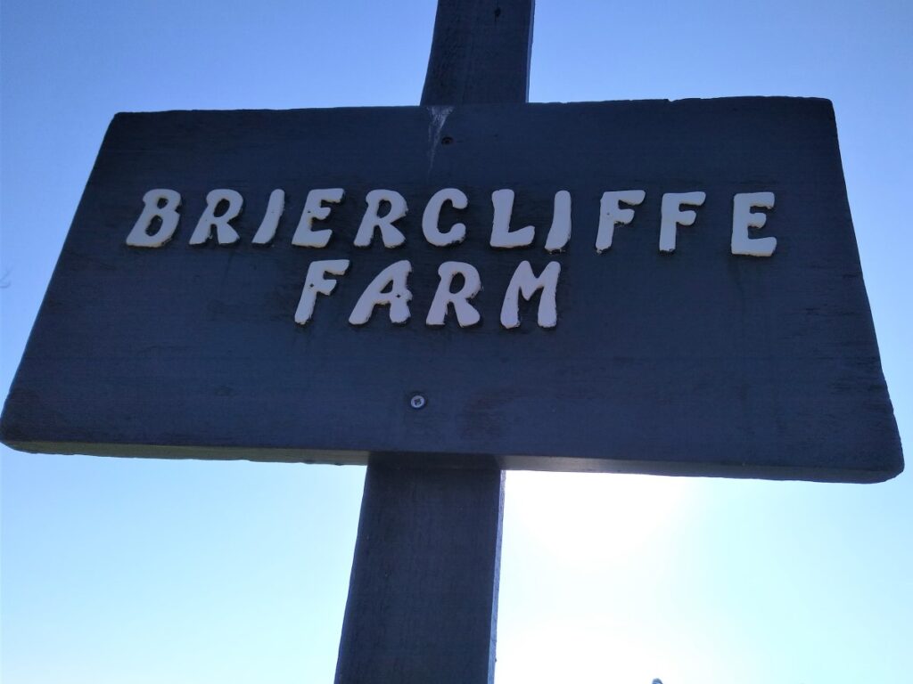
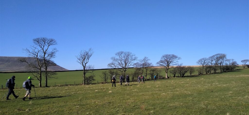
Navigation is now somewhat simpler – we follow the track downhill, generally in a Southerly direction until we meet a minor road – Wheathead Lane. Here we cross and take a farm track, with clear footpath signage on the opposite side of the road toward Briercliffe Farm.
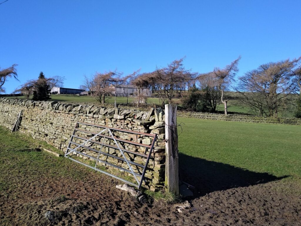
At the farm, the path takes us between farm buildings and then through a gate on the right to find a stile onto open fields where we follow the contour lines toward a house ahead. The path dips below the house and then up to a gate taking us onto the access lane for the house – where we turn left and follow the lane down to a minor road to turn left.
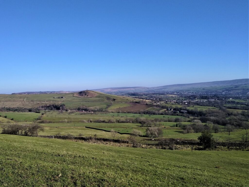
We follow the road uphill, and just past the peak, we see a gate and footpath signage on the right. This gives us access to a muddy track through the fields now heading back toward Barley. Ahead of us on the right is an area of woodland. This is Aitken wood which we passed at the start of the walk. Note though that there is no route through to the woods or sculpture trail.
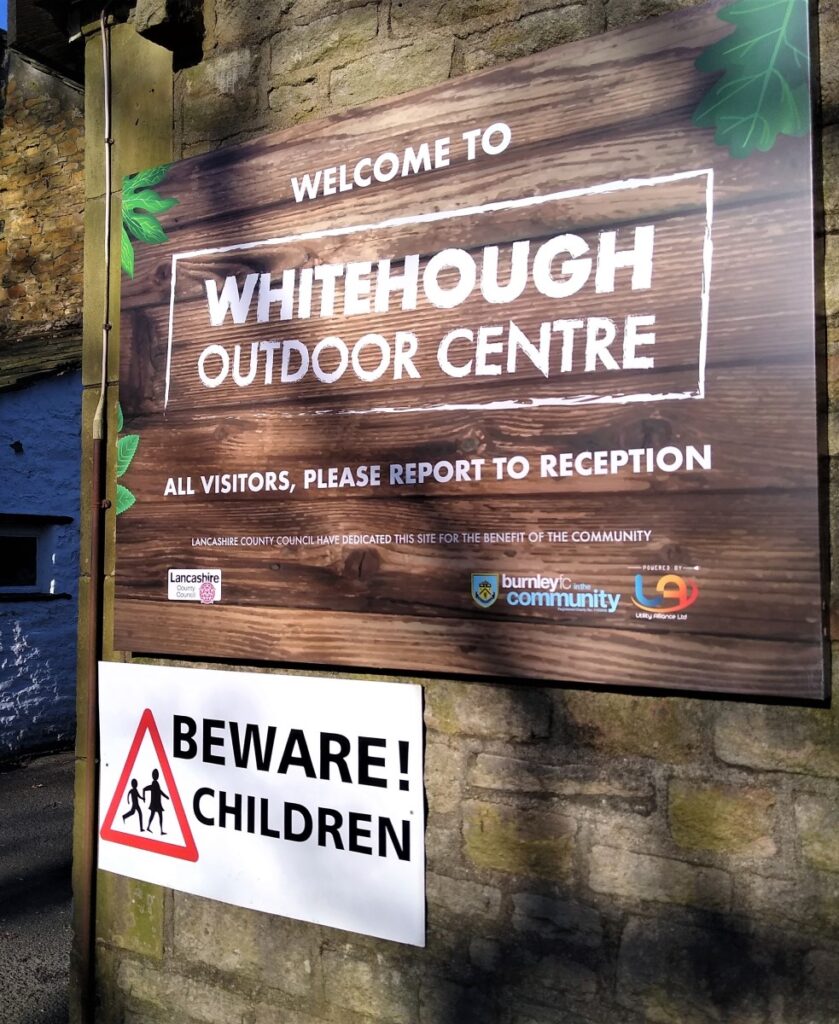
The path (now a bridleway) heads gently downhill to the right of a small, wooded area where we continue down to find a stream and a rough track which we follow down to an outdoor education centre.
From here we head downhill and as the road curves to the right we take the route along the font of the houses, and via a right of way at the edge of a pleasant garden to a lane which follows the stream back to the car park where we started.
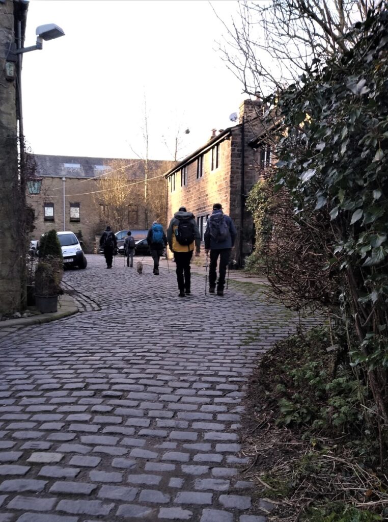
Part way down the lane to the car park, we pass through a pleasant cobbled area where the workers houses for the Narrowgates Mill have been converted to upmarket housing, and to the right we see the mill building itself.
- Total distance 12.3 km (7.7 miles)
- Total Ascent 486 m
- Moderate walk