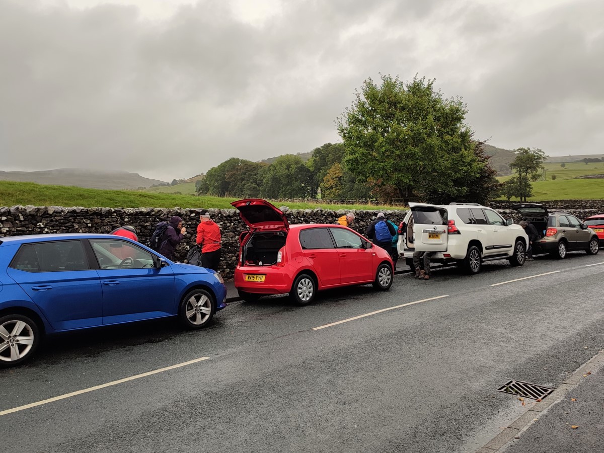
This circular walk starts from Austwick– where there is generally parking available free of charge on the roadside: For this walk we start by the Traddock Hotel.
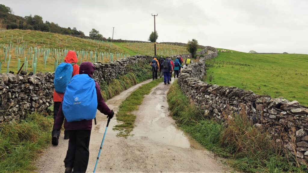
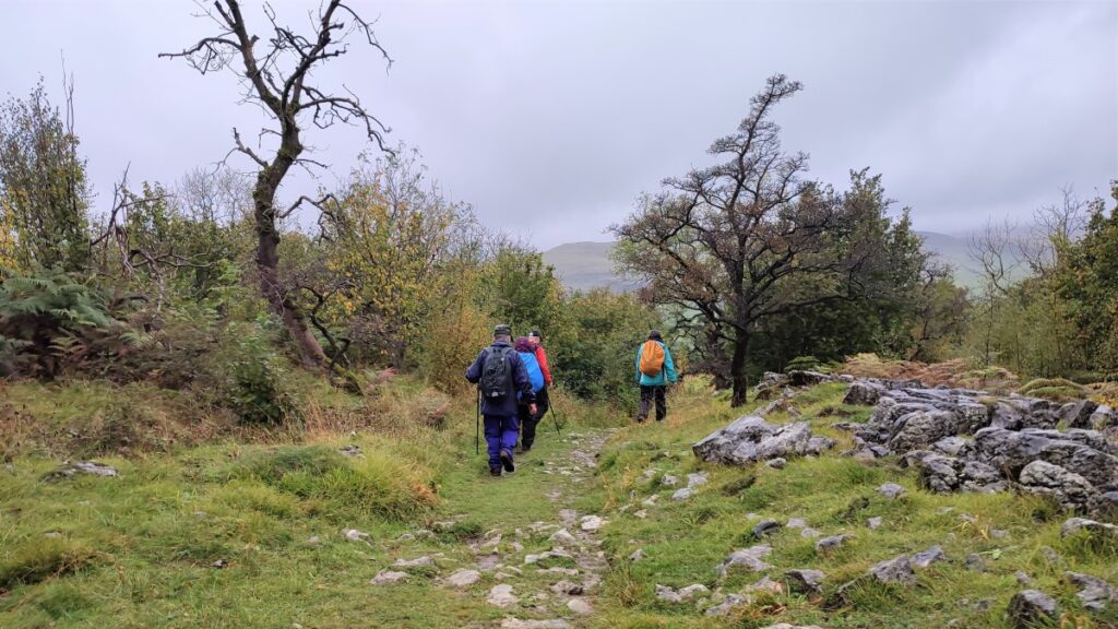
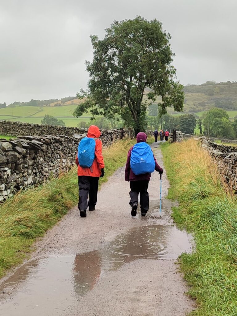
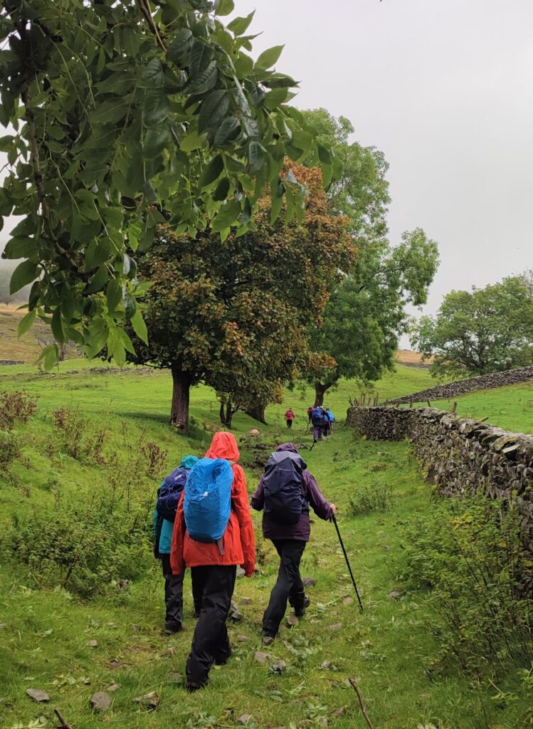
We stroll through Austwick and out to the Horton Road where we pick up the footpath over Flascoe Bridge before taking the bridleway over to Feizor. The Dales Highway then takes us up toward Little Stainforth, but before we get that far we divert up to Smearsett Scar, before looping round to enter the top of Wharfe Wood.
We walk through Wharfe Woods, and then through parts of Oxenber Wood before heading back downhill to Wood Lane which we follow as far as Austwick Bridge, and the Traddock.
Austwick is a favourite starting point for walks – and with good reason – it provides great access to the Norber Erratics, Crummackdale, Oxenber and Wharfe Woods, The Three Peaks as well as Smearsett Scar – our destination on this easy walk.
Parking is generally available at the roadside, but please park with consideration for residents of this “honey-pot” village.
For this walk, the best starting point is the road outside the Traddock Hotel: Sat Nav users should find that LA2 8BY works, whilst the What-3-Words tag is lushly.household.handicaps, and the map reference for the paper map is SD76856833.
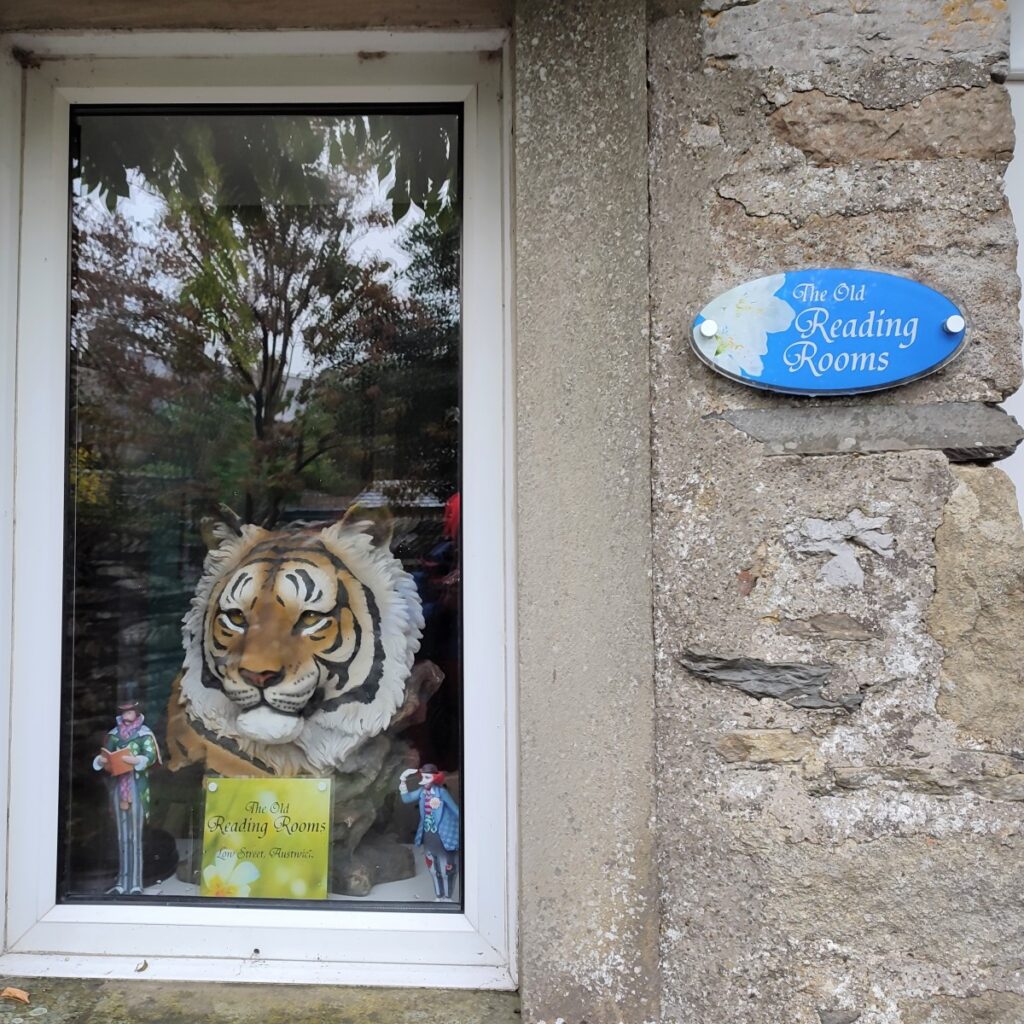
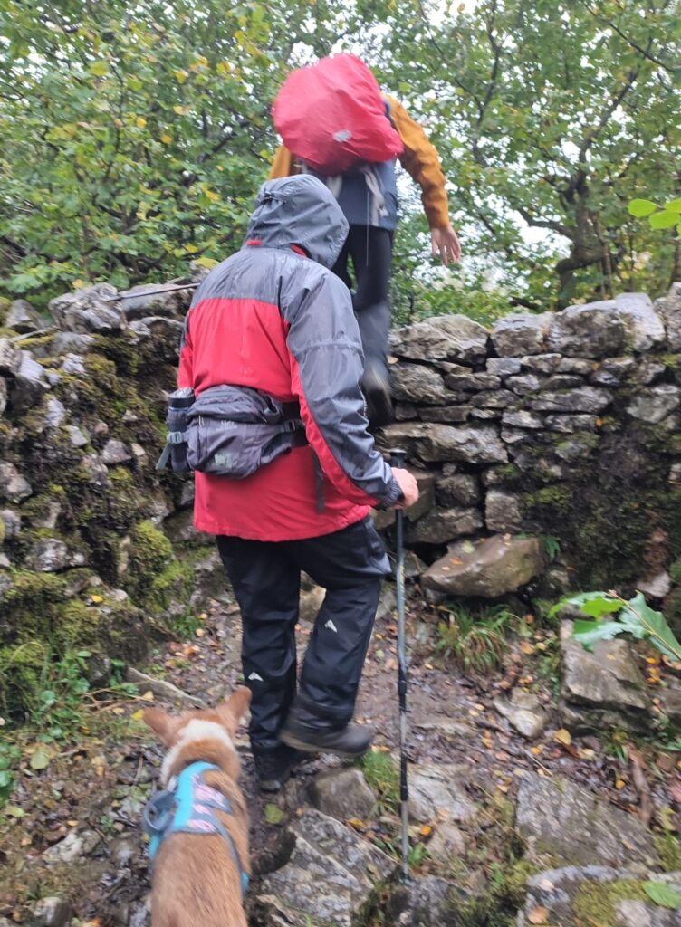
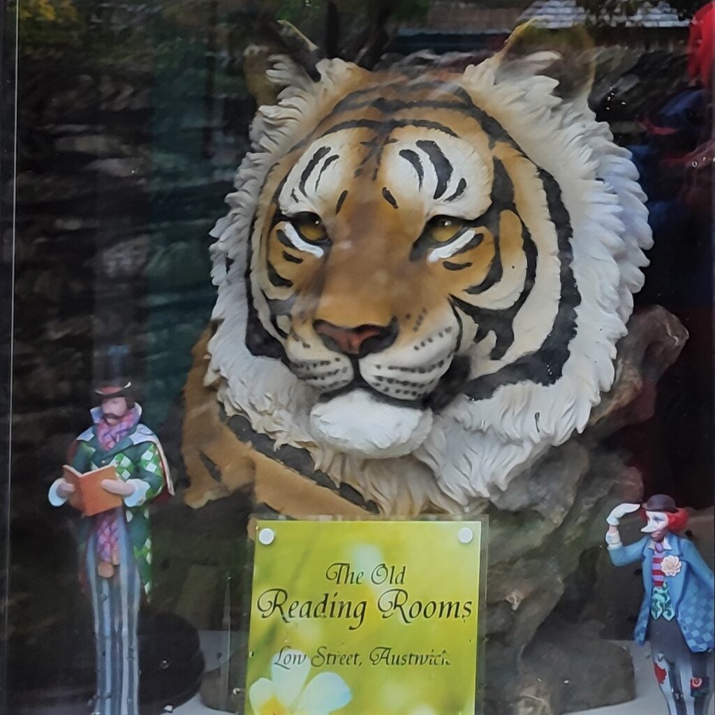
We start by heading down toward the road bridge over Austwick Beck, but before we get that far look out for a stile on the left taking us onto a footpath to the far end of the village. This goes through a field, then via a stile into a small woodland before arriving at a back road in Austwick near the old reading rooms where we turn right.
This brings us back to the main road through Austwick toward Horton, near the school, where we again take a right turn.
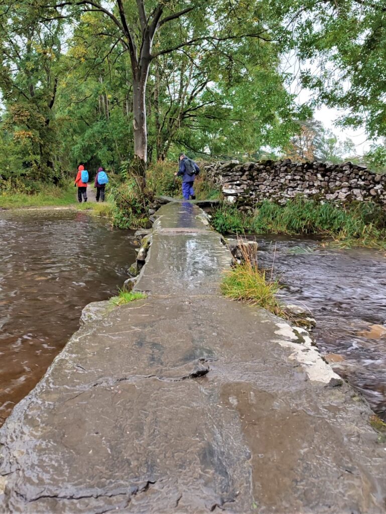
We walk along the road for a short while, past the tennis courts, looking out for the Pennine Journey footpath sign on the right. This takes us onto a small lane which heads down to Flascoe bridge – a delightful stone flag footbridge over Austwick Beck.
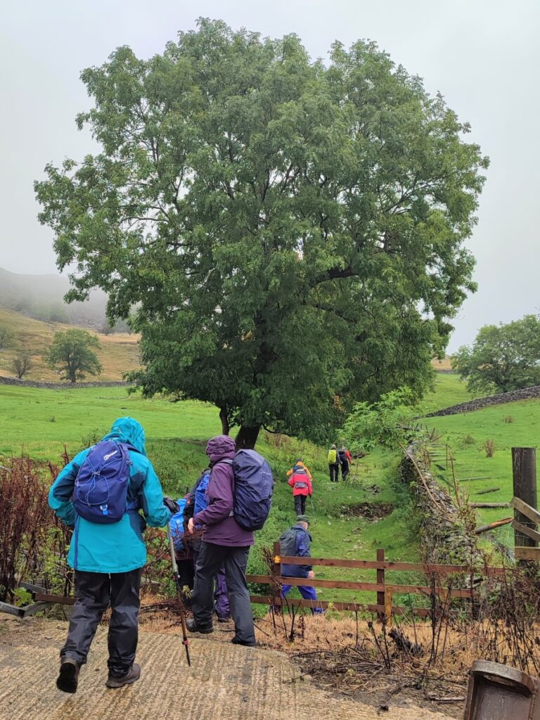
The path continues beyond the bridge and starts to head uphill slightly. There is a stile on the left and a clear path over fields toward the woods, but don’t be tempted by this – we stay on the lane.
Very soon, we arrive at a staggered four way junction. The lane crossing is Wood Lane – which we use later – but for now we carry on straight ahead skirting the bottom of the scar topped by Oxenber Woods, past newly planted trees and on toward Feizor. At this stage we are still on the Pennine Journey path.
We start to head gently uphill to pass an attractive farm on the left – this is Wood House. Just beyond this another path crosses with stiles on both sides of the lane. We stay on the lane, but it’s worth noting that the stile on the left takes us onto a footpath which tracks parallel to the lane we are walking and also goes to Feizor. So, if you prefer waking on grass rather than a lane, but dealing with more stiles, this is a viable and attractive alternative.
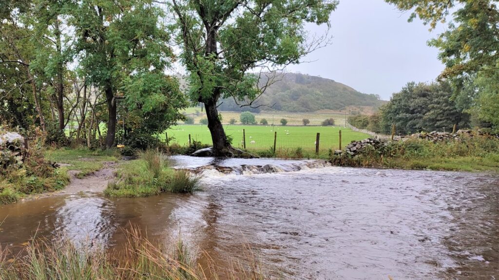
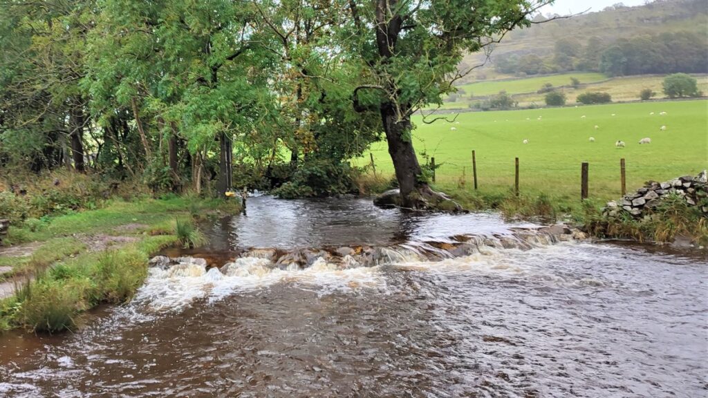
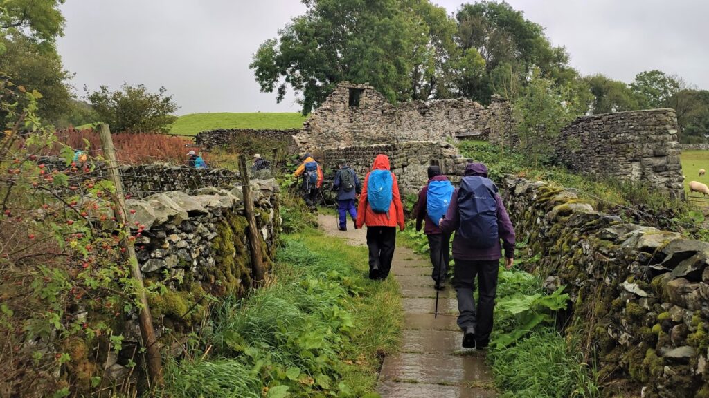
The lane soon approaches a small beck which is crossed either by a ford, or in the event of wetter weather, a stone flag footbridge, and just beyond here the lane forks at the derelict Meldings Barn.
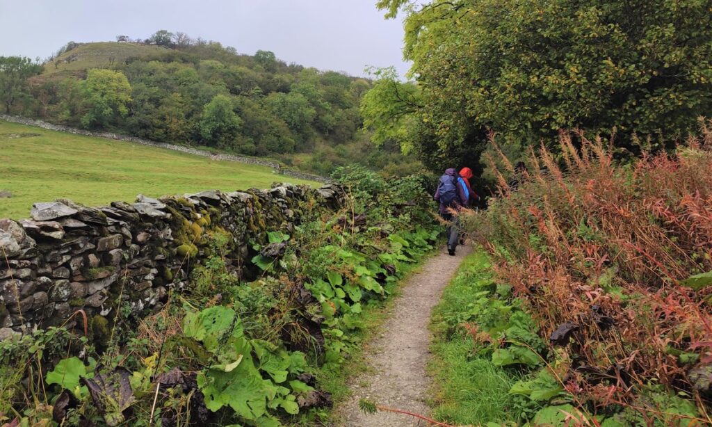
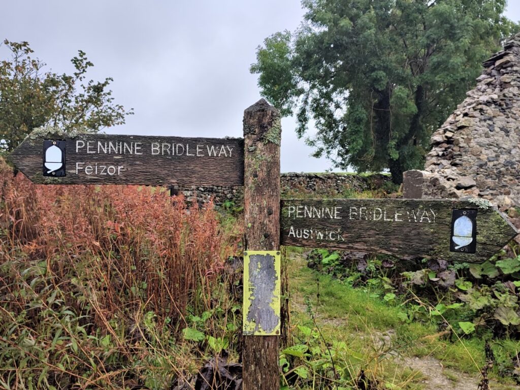
We take the left hand option which is signposted as the Pennine Bridleway to Feizor. This brings us round the base of Oxenber wood on Hall Lane, and then past the base of Feizor Wood toward Feizor.
In practice Oxenber wood, Wharfe Wood, and Feizor Wood form one continuous woodland area, and all are well worth taking time to explore in more detail.
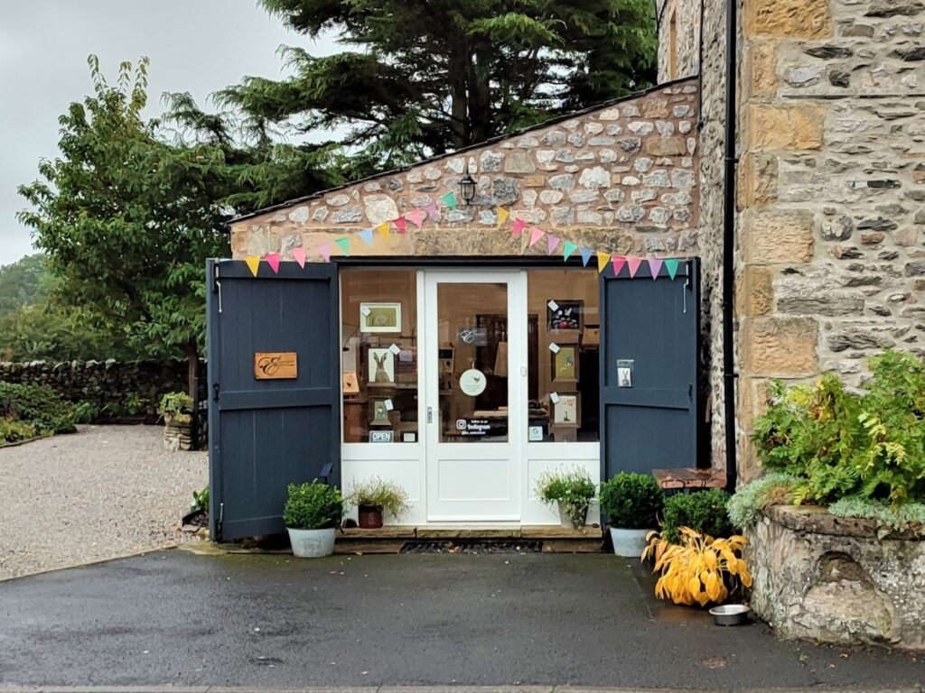
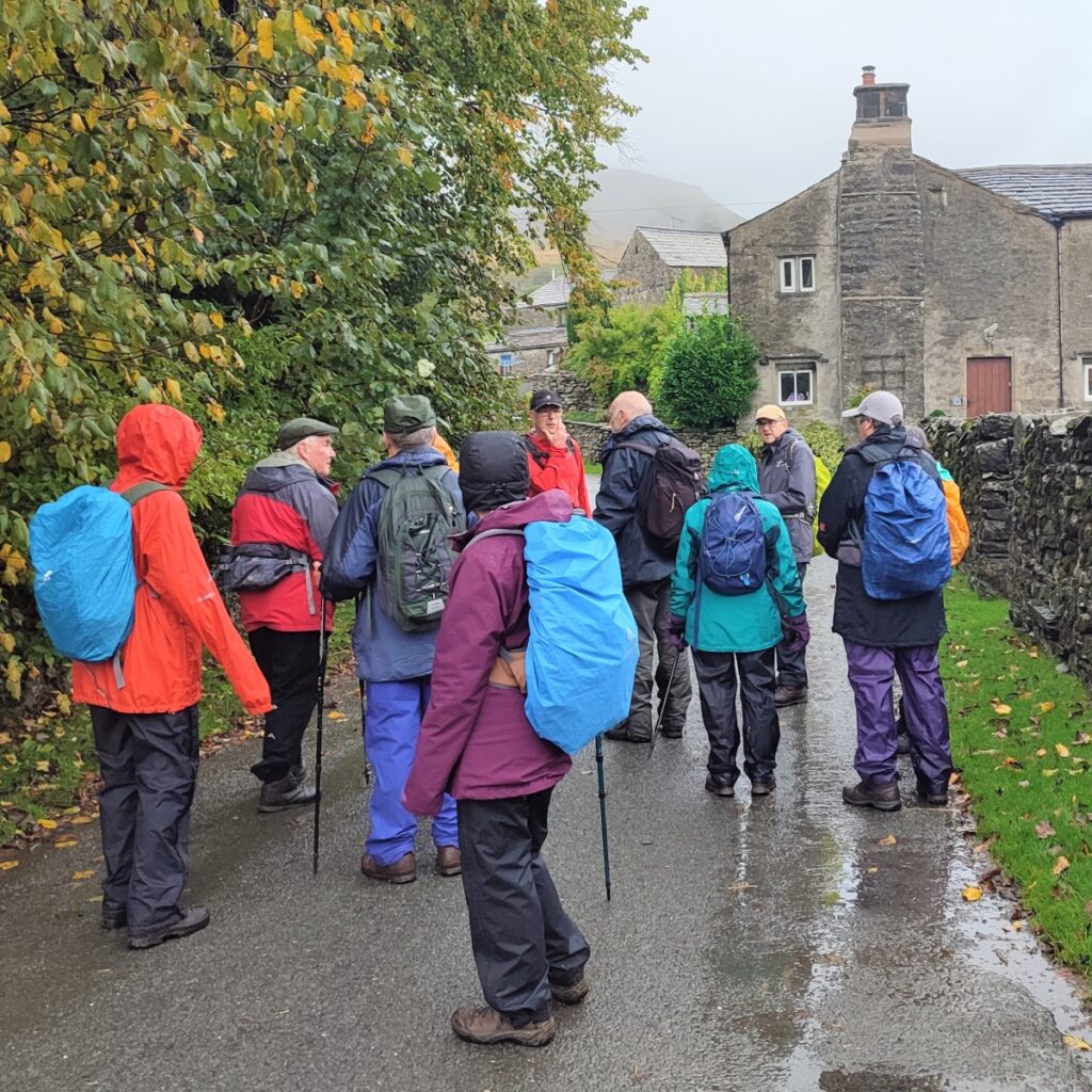
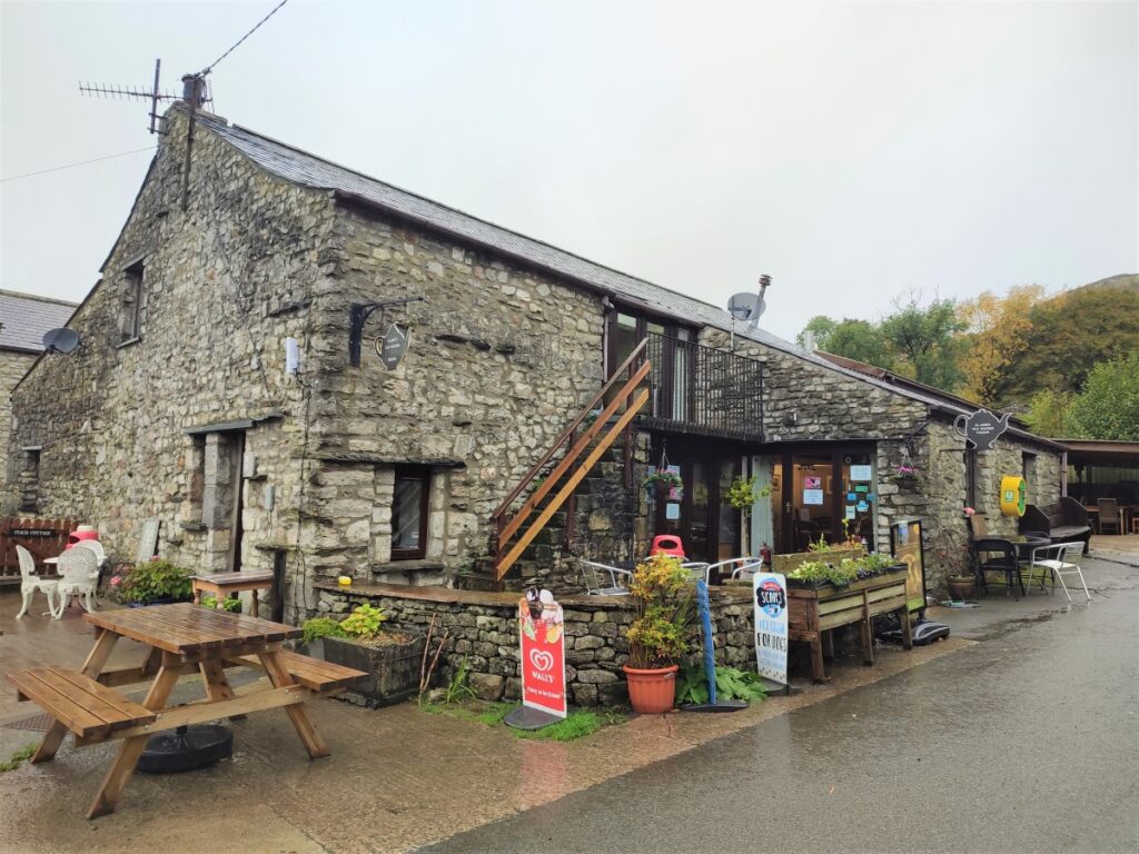
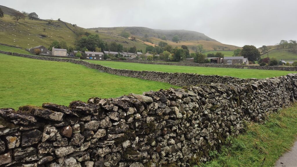
The bridleway approaches Feizor and meets the road at a dairy farm. Take a left here and head up the road toward Elaine’s Tea Rooms – a Yorkshire Dales institution, and a recommended stopping point on any walk in this area.
Pick the right summer day and there may even be a brass band playing for you.
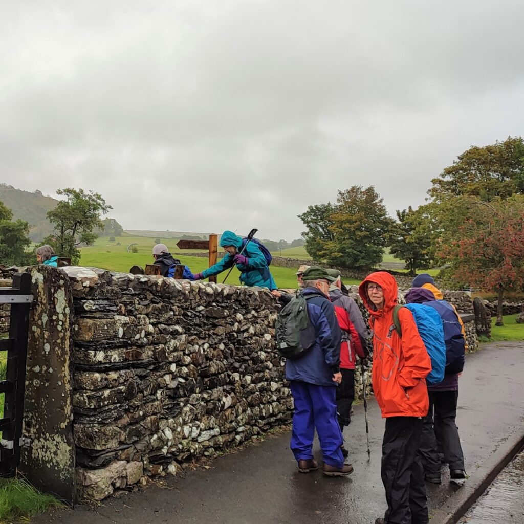
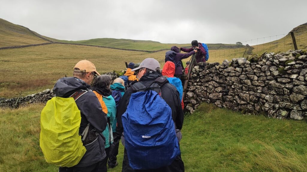
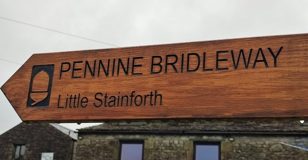
Opposite the tea rooms is a farmyard (Scar Close Farm), and the footpath, signed for Little Stainforth, now heads West through the yard and down to a stile into a stony lane.
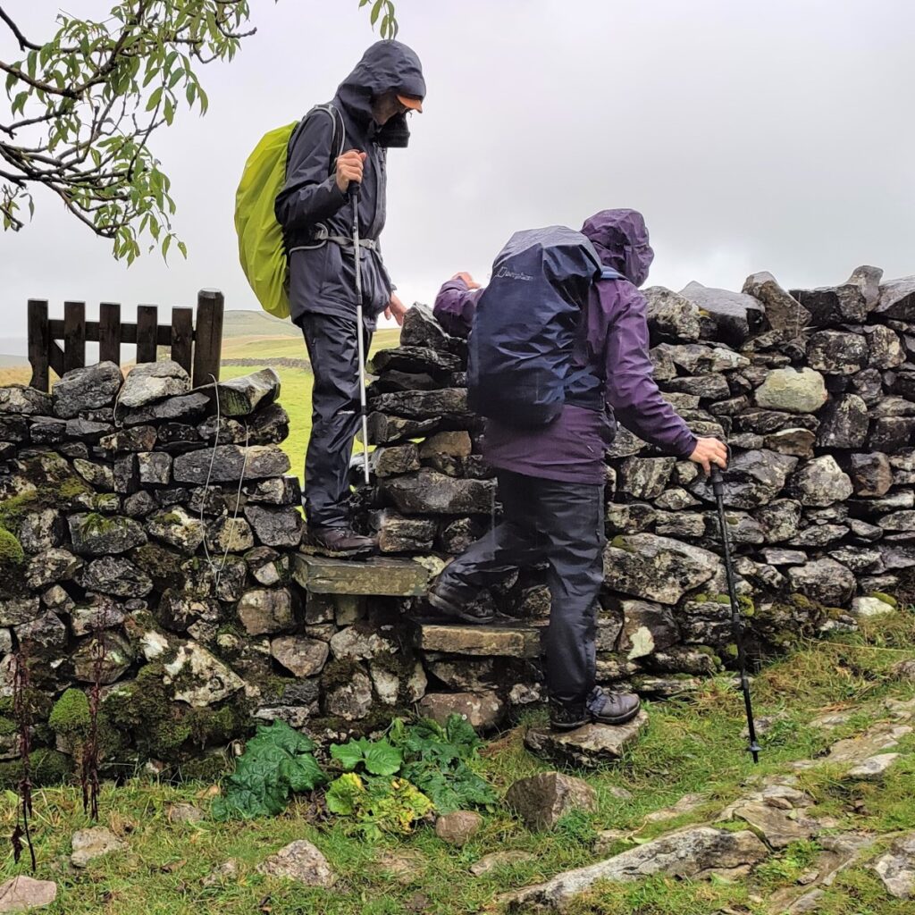
We follow this uphill for a short while before we find a stone step stile which takes us to the opposite side of the drystone wall – our direction of travel remains the same though – we head East toward Little Stainforth.
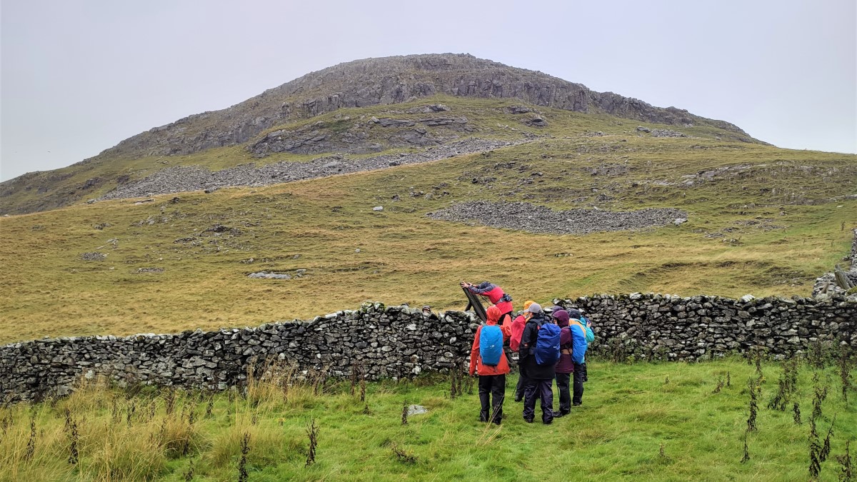
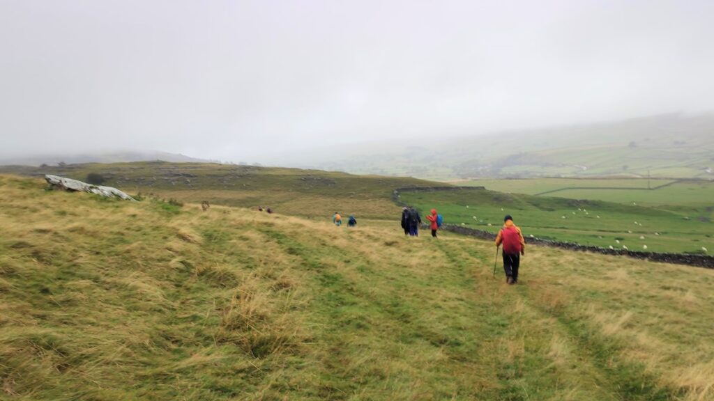
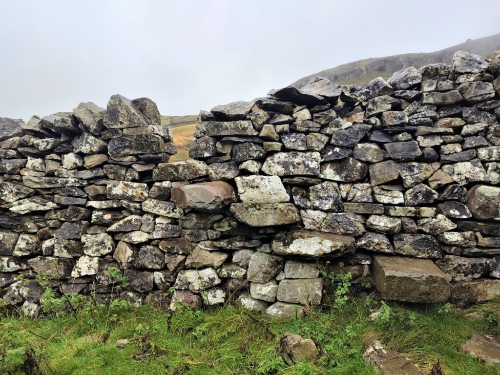
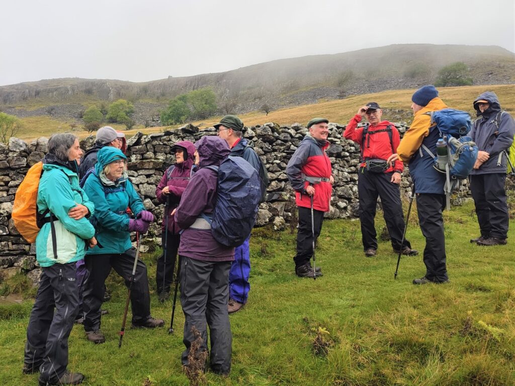
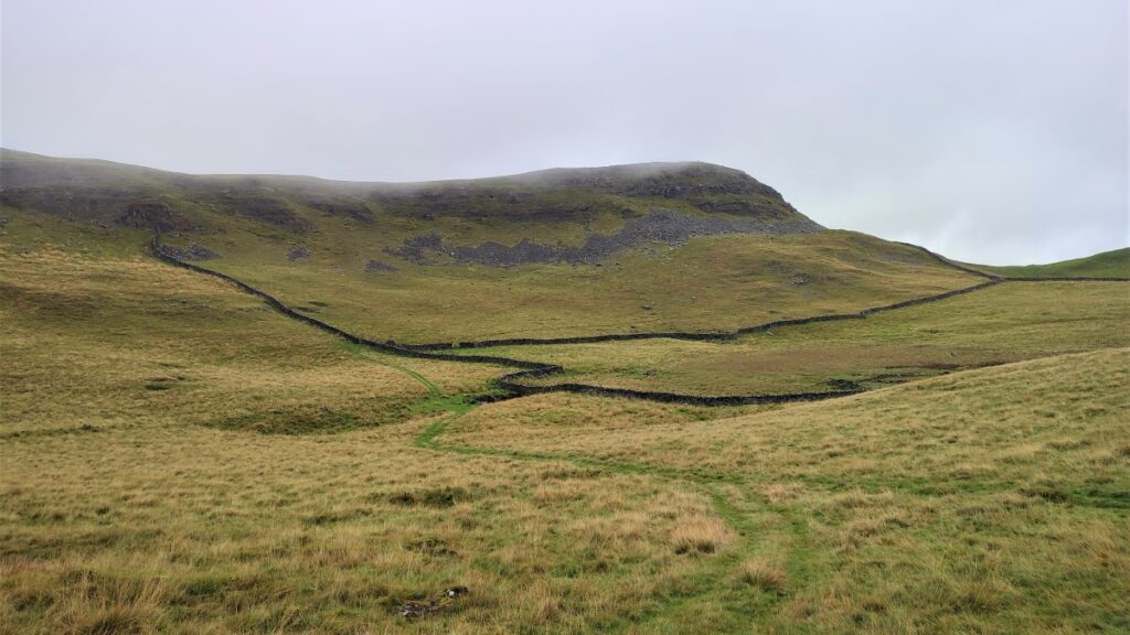
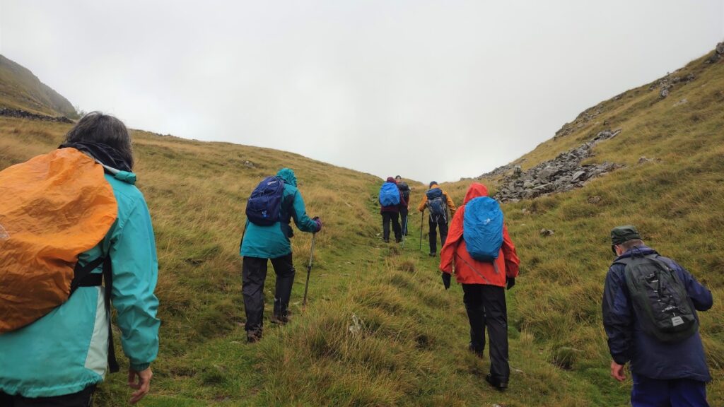
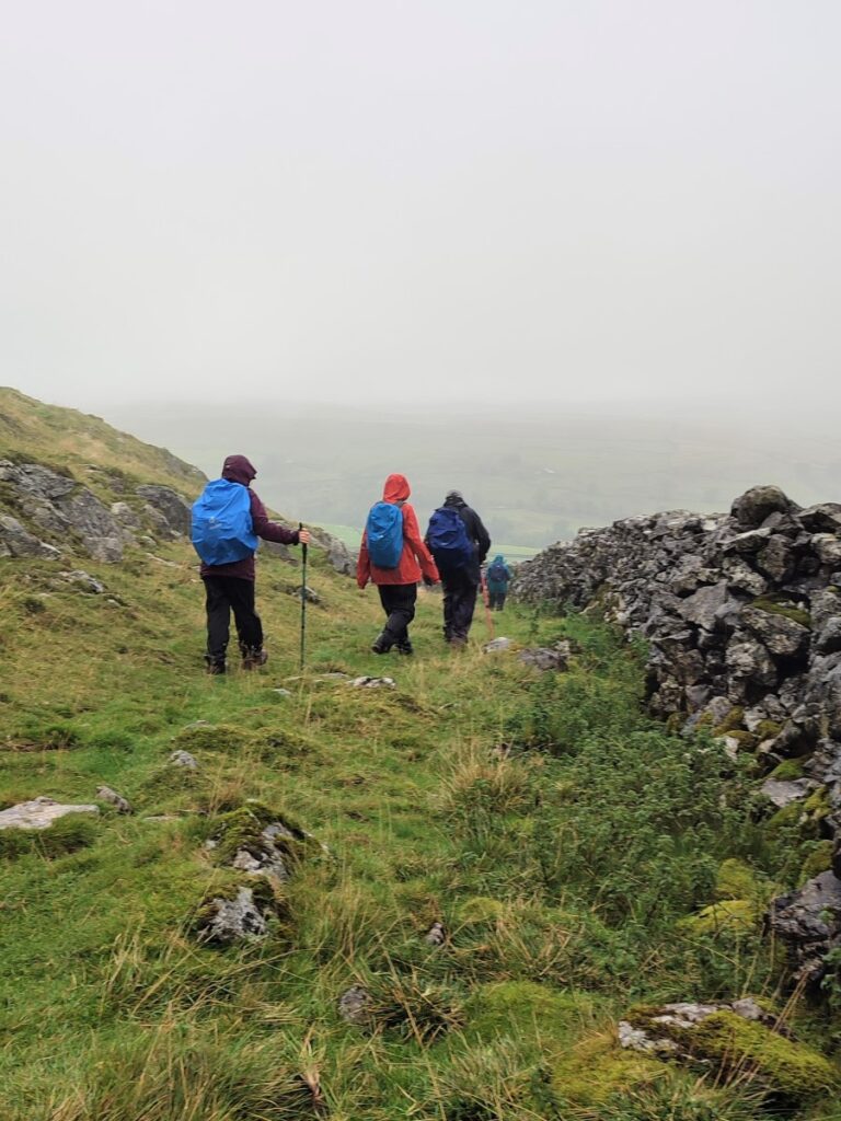
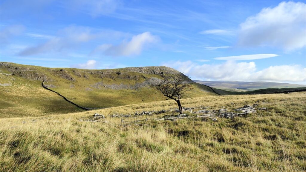
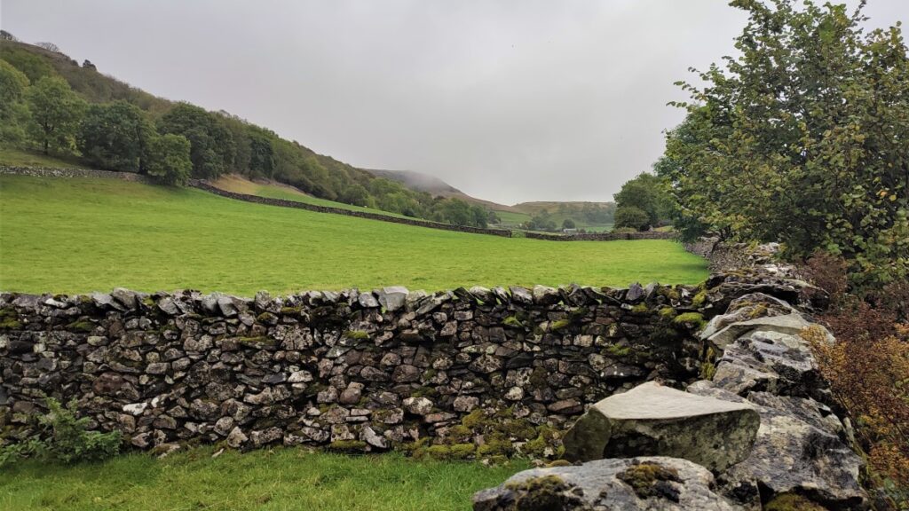
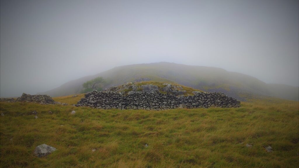
The path now heads up hill and through 3 more field boundaries with Smearsett Scar adjacent on the left. We now leave the Dales Highway and strike out on the left along a drystone wall to head toward the peak of Smearsett Scar. Note that this route is not marked as a defined footpath on the OS map, but we are on Access Land here and the path is clear and well established.
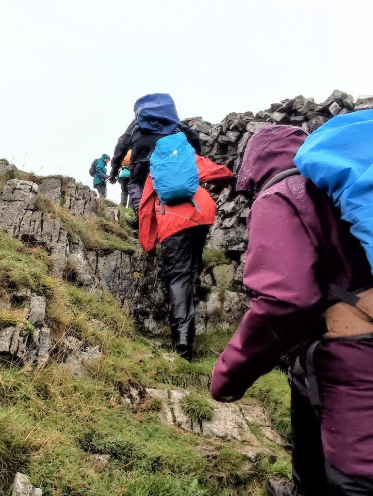
If in doubt head just to the right of the top of the scar and note that stiles are used to cross walls – if there’s no stile, you are in the wrong place!
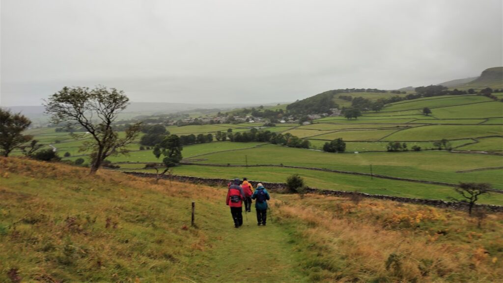
Having crossed the stile just below the peak, follow the steep uphill path with the drystone wall on the right until we see Little Stainforth and the Ribble Valley ahead of us.
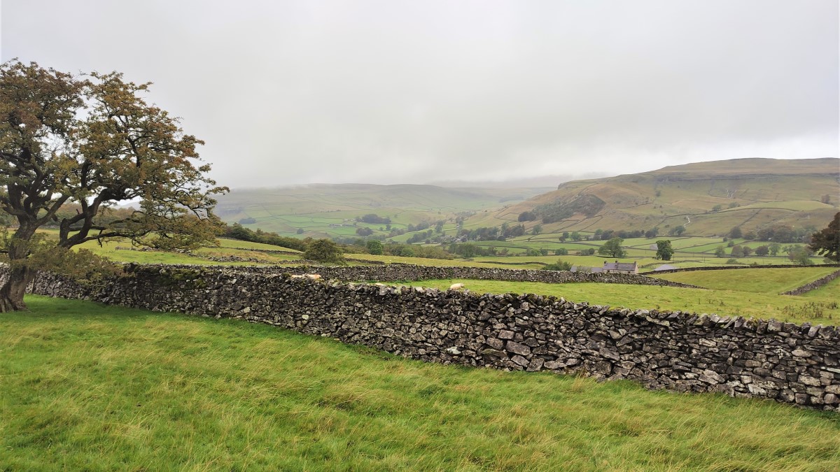
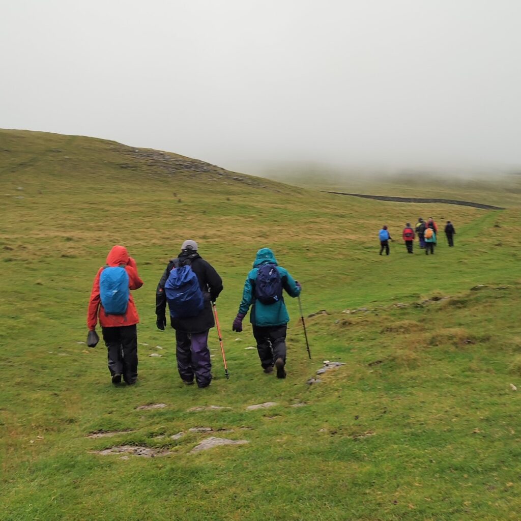
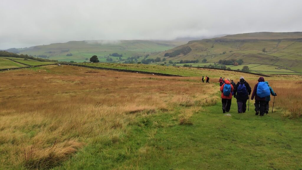
The path now levels out and works round to the left contouring around the hill until we merge with another path and find ourselves walking around the back of the scar. Our direction is now to the West, and the path remains clear.
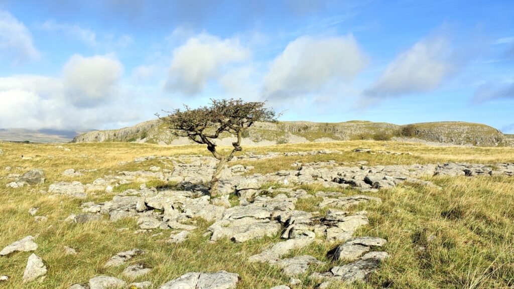
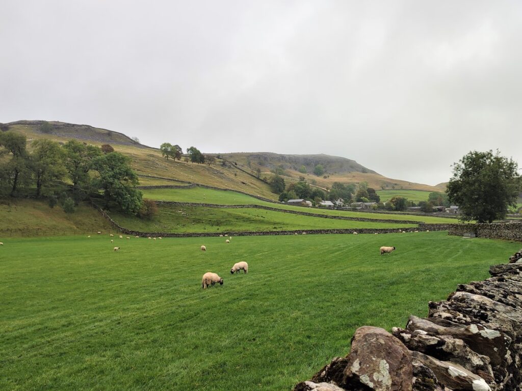
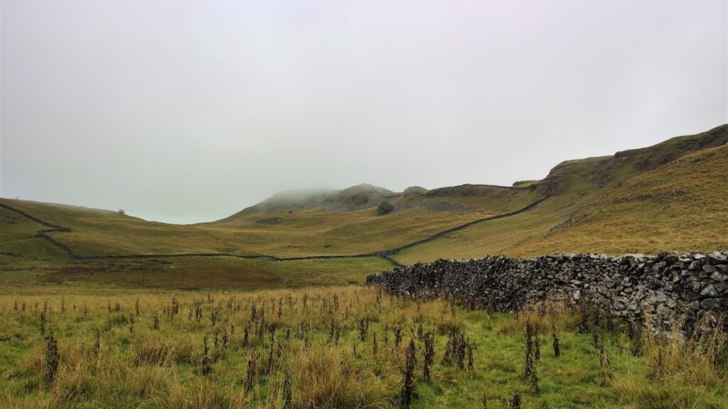
Initially we have higher ground on both sides of us, but soon the path works round to the left a little, and the view on the right opens up to show us Moughton Scar and Wharfe at the valley bottom.
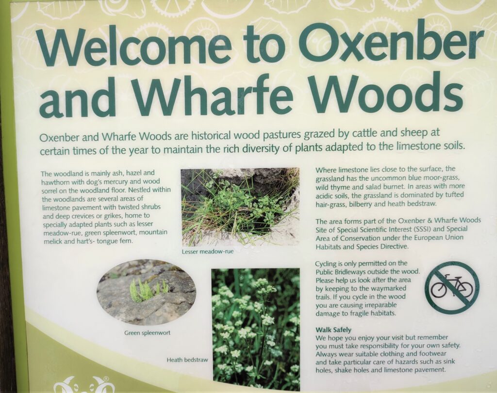
Ahead of us at this point is the entrance stile to Wharfe Wood, having crossed into the wood, take a moment to note the information board showing a number of routes through the woods. We follow the red route – although the path is clear and generally easy to see.
After a while, we cross a stile that marks the boundary between Wharfe Woods and Oxenber Woods, but as they whole area is managed in a coordinated manner, do not expect to see much difference.
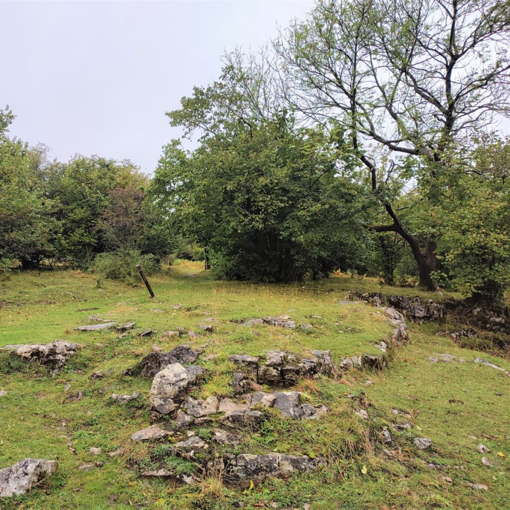
Hundreds of years ago, this area of woodland and pasture was part of Austwick quarry, and it is still apparent how scarred the hillside is even though it is now grassed over. Today it is designated as a Site of Special Scientific Interest (SSSI) and in spring is a noted for the spectacular display of bluebells and other woodland flowers. The entire woodland is part of an Open Access agreement and access paths have been laid out through the wood. Information boards by each of the entrances to help visitors choose a safe route.
Once in Oxenber Wood, the path works round to the left and then to the right where, as tree cover thins, the path forks. We take the route on the right which heads downhill back toward Austwick.
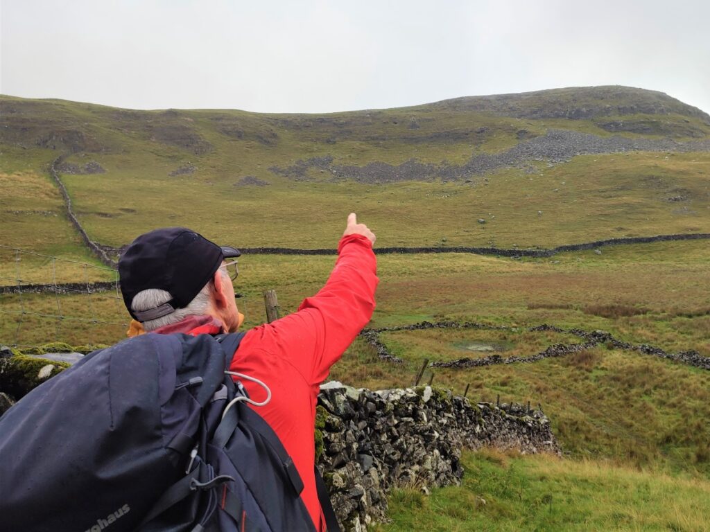
As the path works its way downhill, we are heading Northwest, and if the weather is favourable, will have good views of toward Norber and Crummackdale.
We soon meet a drystone wall with a clear path adjacent to it – we turn left and head downhill again, keeping the wall on our right. We go through a gate and continue downhill, past a small quarry site, to meet another gate which takes us down onto Wood Lane.
Here we turn left and follow Wood Lane all the way back to the road in Austwick just to the South of Austwick Bridge. Here we turn right and conclude the walk.