Jump to . . .Step by Step | OS Map | Downloads | Gallery | Fly through
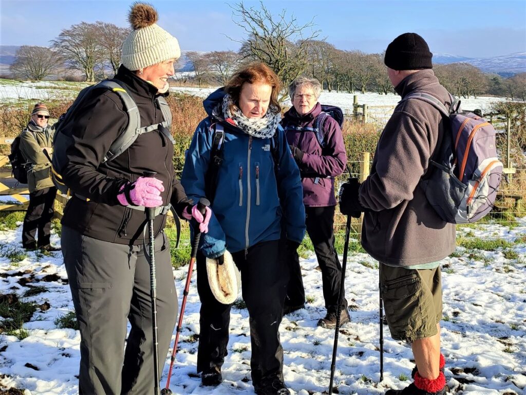
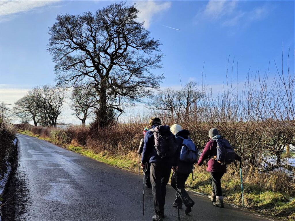
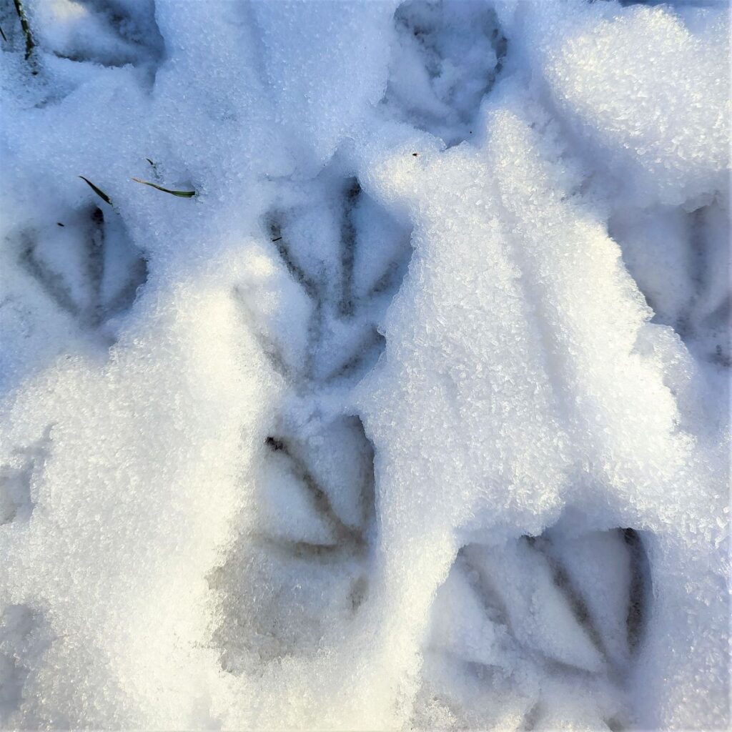
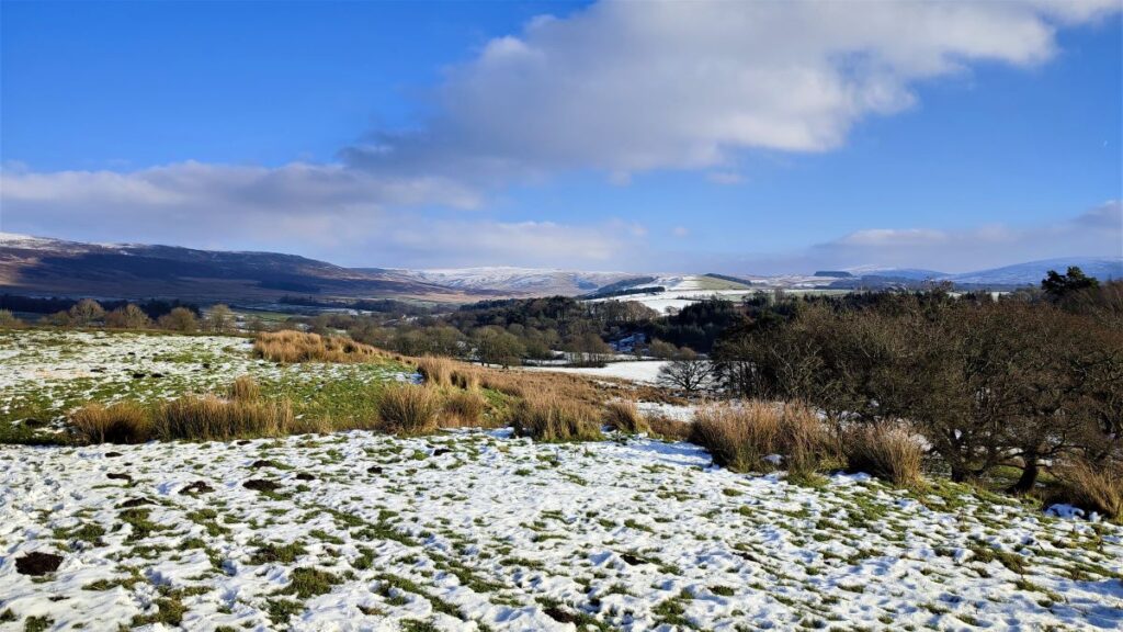
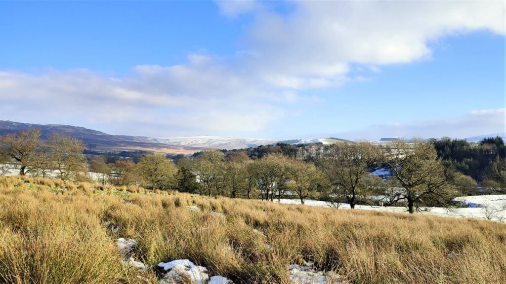
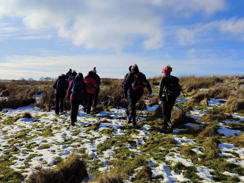
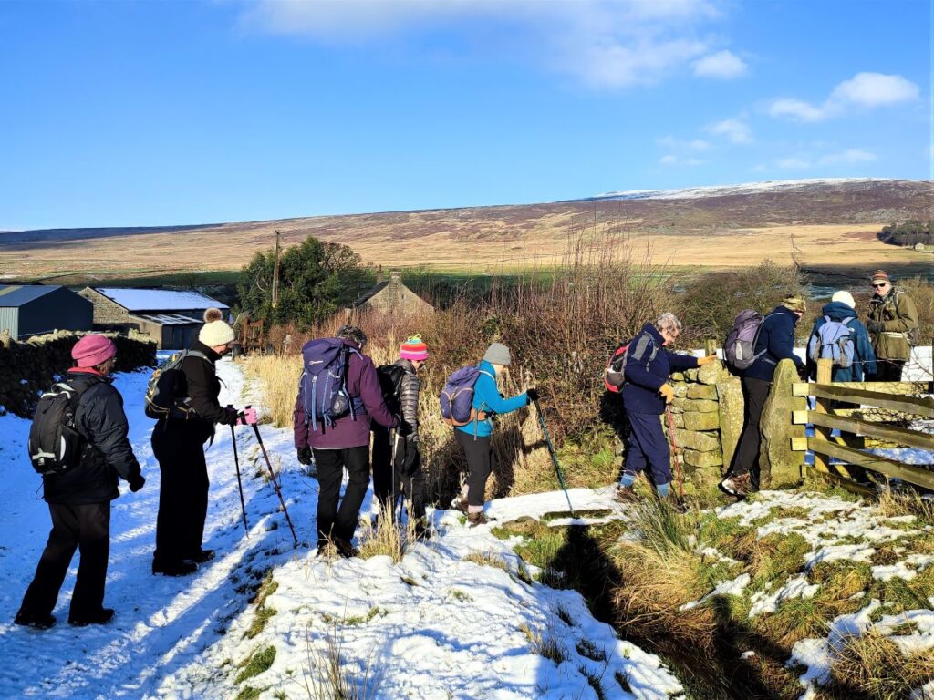
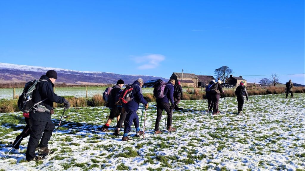
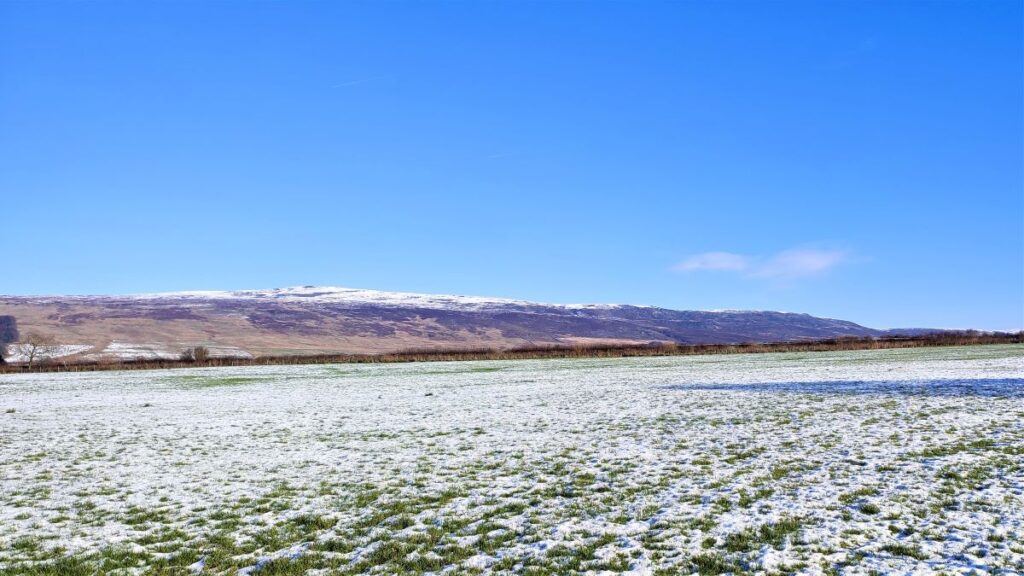
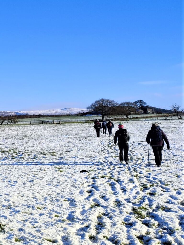
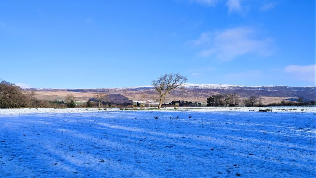
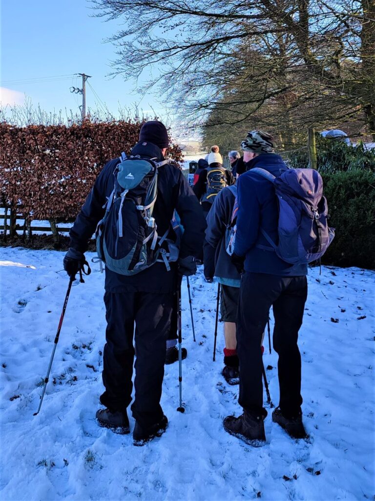
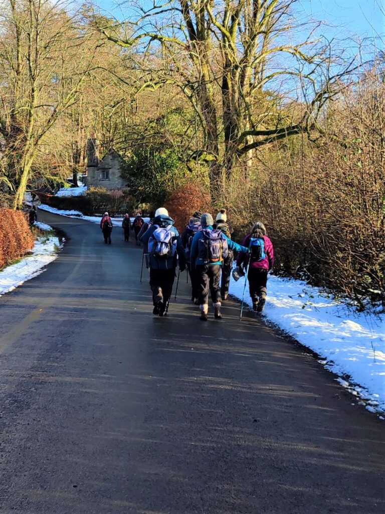
As well as being particularly scenic – it as after all an Area of Outstanding Natural Beauty (AONB), The Forest of Bowland is filled with fascinating history just waiting to be discovered. This excellent walk starts next to the “Shepherd’s Church”, before heading across fields, with extensive views of the distant Hawthornthwaite and Tarnbrook fells, on the way to Abbeystead. From there we strike out across country, using parts of the under-appreciated Wyre Way long distance path via Emmetts to Tarnbrook where we find the Tarnbrook Wyre. We cross the river and then follow it downstream to Lower Lee before returning via fields to the church. We were lucky enough to have bright and cold weather with lying snow for this walk, but it works equally well in other conditions – although it is worth noting that this part of the world can get a bit muddy after prolonged wet spells.
- Total distance 10.1 km (6.3 miles)
- Total ascent 251 m
- Easy walk
Step-by-Step
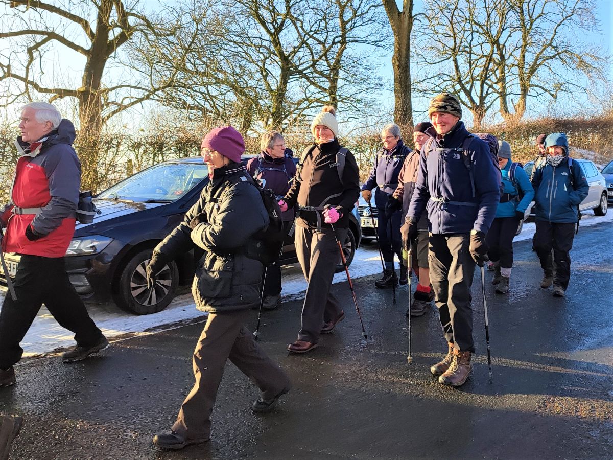
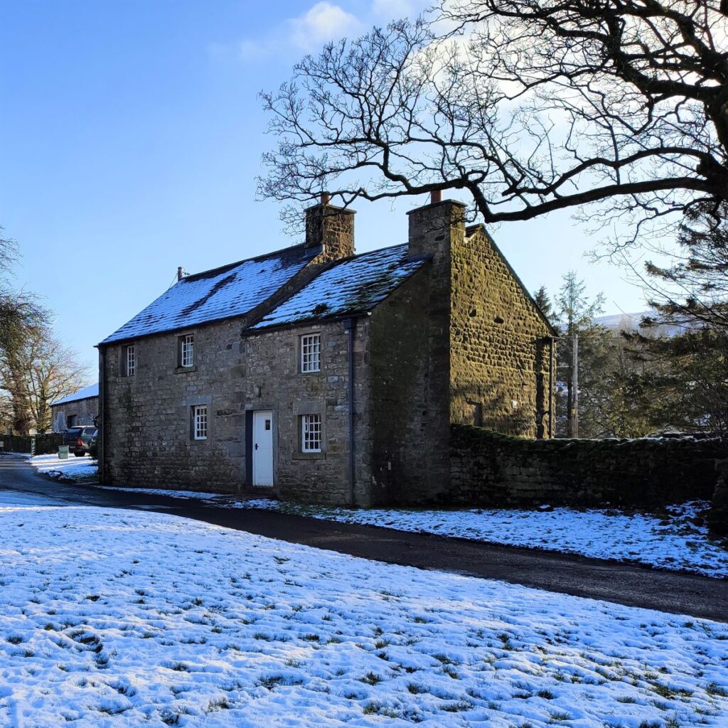
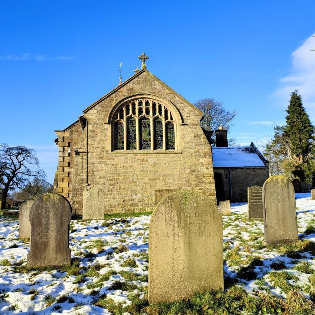
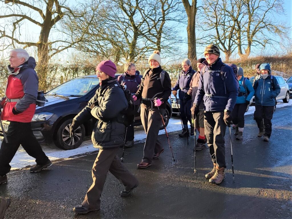
We start from a layby on the right hand side of the Abbeystead road from Dolphinholme, just before Christ Church, Over Wyresdale. The church is quite prominent, and is clearly visible from the road, but if you miss it, and get as far as Abbeystead, turn round and drive back no more than 1 mile, now with the church and layby on your left.
If you are using satnav to get to the start of the walk, then the postcode for the church is LA2 9BE – but this covers quite a large area, so the what-3-words tag amid.finer.coats may help. The OS grid reference is SD54895456.
The layby may be busy when the church is holding services so a little planning ahead would be wise.
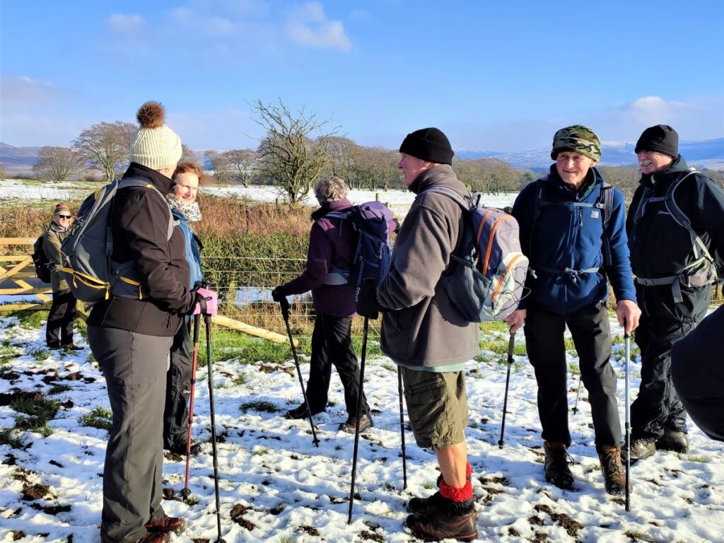
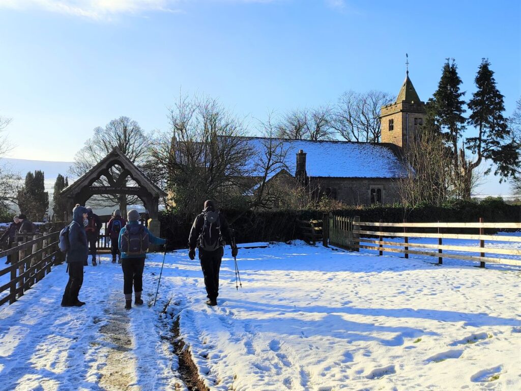
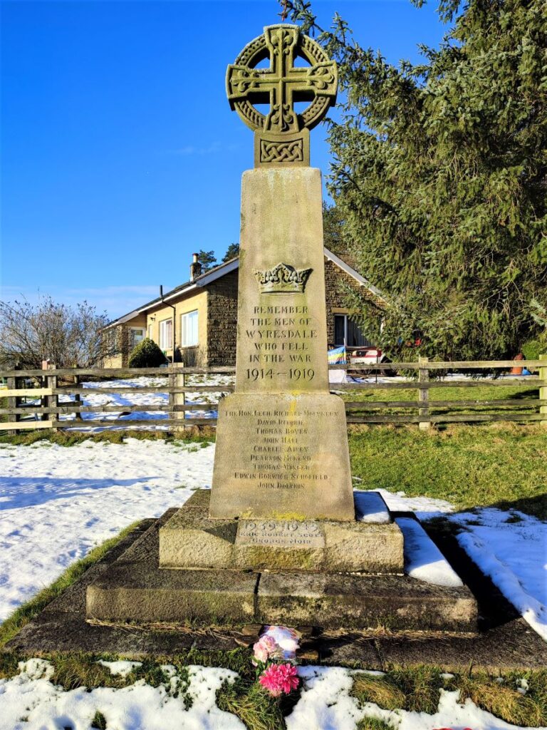
From the layby we start by walking down to the church and heading toward the particularly splendid Lychgate – noting the war memorial to the right of the path.
This remembers the nine who were lost during the First World War, and a further two from the second. Given that the population of the parish is (currently) around 300 persons, this must have represented a tragic loss to almost every family within this small community.

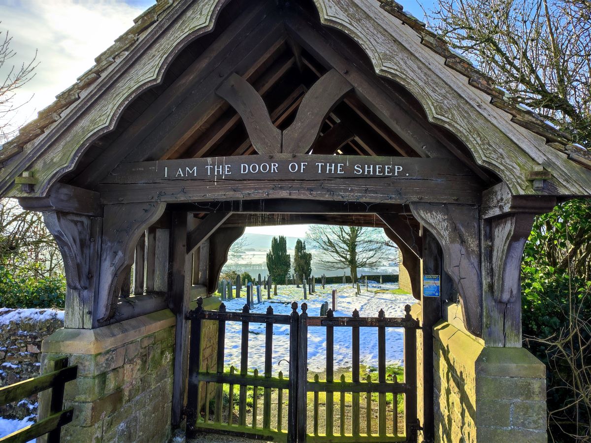
The Lychgate is ahead of us and carries an interesting inscription: I am the door of the sheep. This reflects the fact that Christ Church is known locally as ‘The Shepherd’s Church’ a clear statement of the importance of livestock farming in this area. The church is surrounded by fields of sheep and the hilltop farms that house their shepherds.
The words on the Lychgate come directly from St John’s gospel and all the stained glass inside the church depicts pastoral scenes from the Bible, each featuring sheep and shepherds. The windows are of particular merit, and well worth taking time out of the walk to view them.
As an aside, the term Lychgate, meaning a roofed entrance gate on the main access to a church has an interesting derivation: The word lych survived into modern English from the Old English or Saxon word for corpse, mostly as an adjective in particular phrases or names, such as lych bell – the handbell rung before a corpse, lych way – the path along which a corpse was carried to burial or as here, lych gate – the gate through which coffins were carried to the church. It is also the reason that barn owls are sometimes referred to as lych-owls, the idea being that their call was a portent for an impending death.
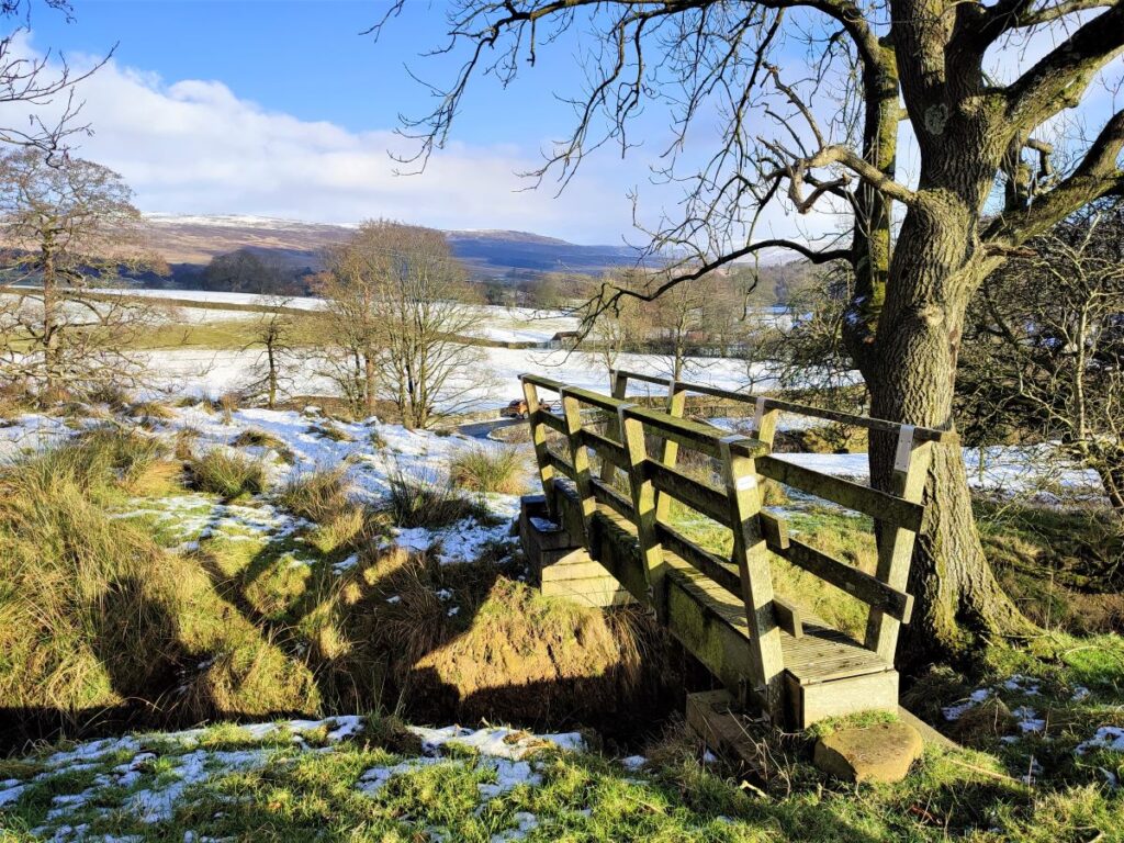
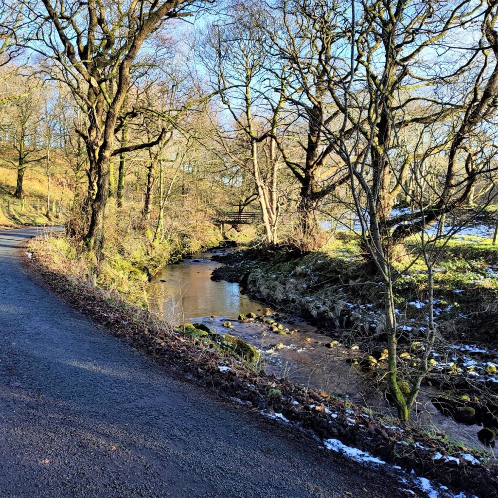
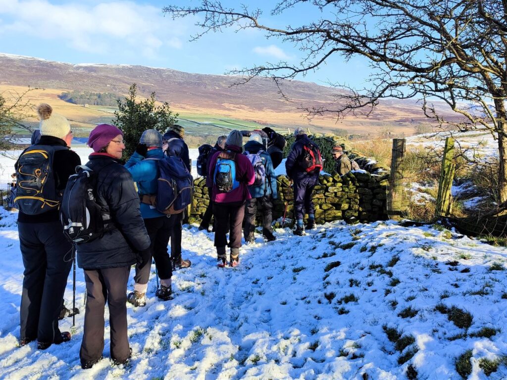
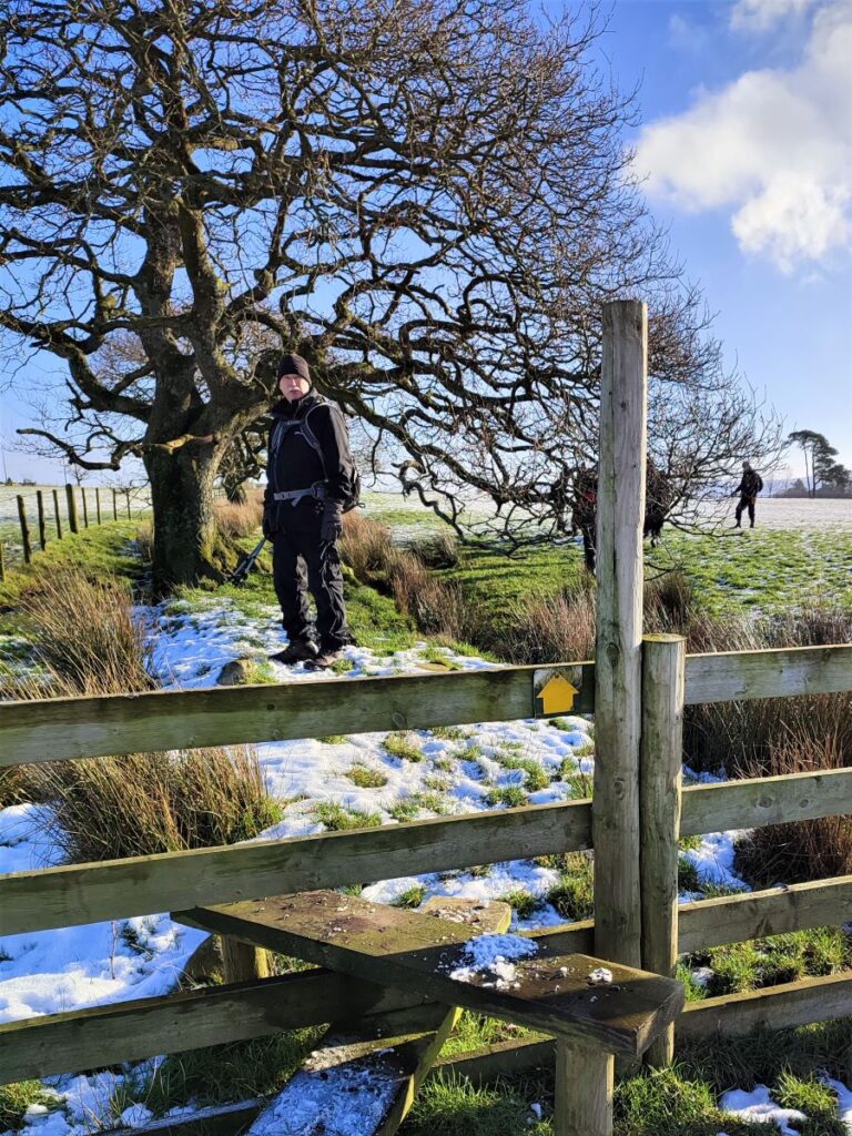
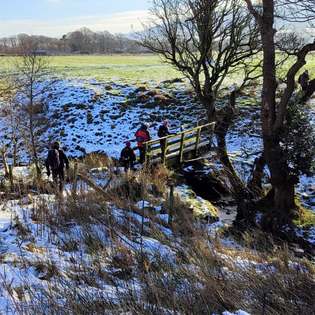
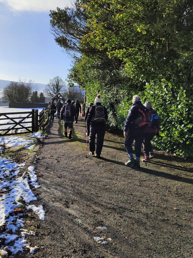
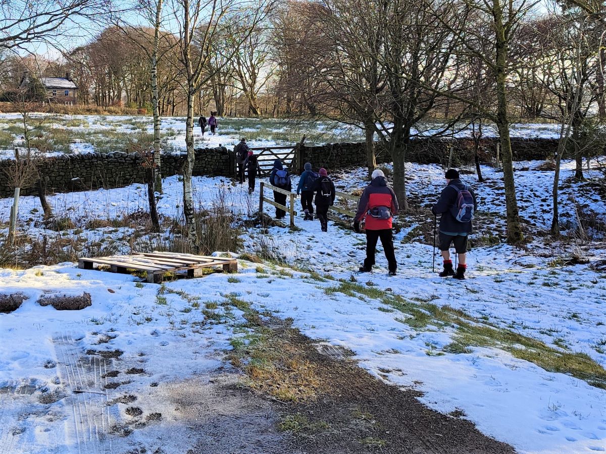
We take the public footpath round the side of the church – this starts next to the gate and then heads south along the side wall of the graveyard, offering good views of the church and the large stained glass window in the end wall of the nave. The path veers left, and takes us gently downhill, heading a for a stile in the far corner of the field, where we cross Parson’s Brook at a wooden footbridge before following the fence line to head toward farm buildings at Far House Barn and Bank Wood.
We cross a further field boundary at a gate, heading east, and as the buildings come clearly into view, we take a route between the larger House on the left and the smaller barn on the right, aiming for a gate that leads us onto Abbeystead Lane just to the West of the village.

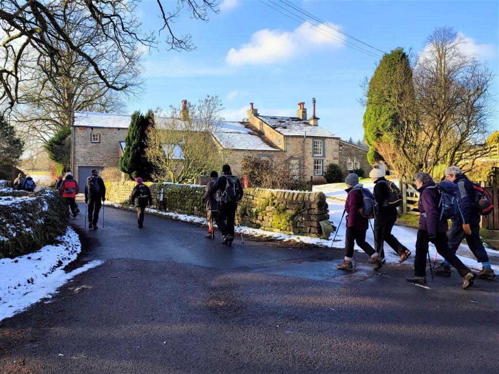
We head right at the lane, which takes downhill into Abbeystead village.
The name of this small hamlet suggests a monastic connection, and this is indeed the case: It was once the home of Cistercian monks during the reign of Henry II. Although their presence proved short lived, the place name retains the legacy meaning “the site of the Abbey”. The exact location of the monks’ dwelling is unknown, but it is thought to have been on the north side of the current Abbeystead reservoir.
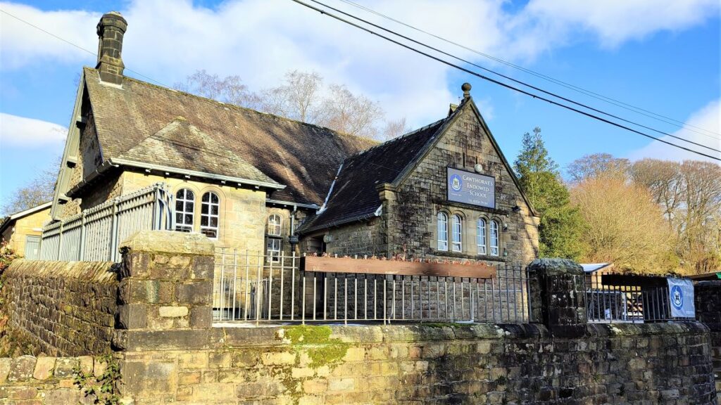
Also of note in the village is the school, founded in 1674 and rebuilt on the original site during the 1800s.
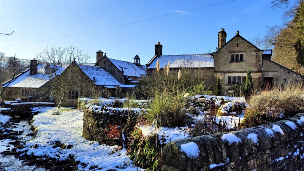
The schoolmaster’s house, Stoops Bridge Cottage, built in 1674, rebuilt in 1841, is now home to the Abbeystead Estate Office.
In current times, Abbeystead is best known for its reservoir. This was built in 1855, initially not as a source of drinking water, although it now serves that purpose.

The primary function was to supply the numerous mills located along the river Wyre with water during periods of reduced rainfall – so the reservoir filled during heavy rain and gradually emptied during dry(er) periods, with the mills remaining operational throughout.
The reservoir is now part of our drinking water supply network, and features a lovely, curved overflow weir that can be seen from a footpath round the reservoir. This walk does not include the reservoir itself, but there is a convenient path round it which could easily be added.
Abbeystead is also known for the tragedy occurring in May 1984. A group of 44 visitors were inside an underground pumphouse building attending a public presentation by North West Water Authority (NWWA) to demonstrate the operations of the station, and with a tragic irony, to address the local community’s safety concerns. It is thought that methane had seeped from coal deposits 4,000 feet (1,200 m) below ground and had built up in an empty pipeline. The highly flammable gas was then ejected into the valve house by the sudden pressure of water as the pumps were switched on with ignition by an unidentified source triggering the explosion.
Eight people were killed instantly by the explosion, and the remainder were severely injured. The explosion also caused the concrete roof to fall down on to the group, destroying the steel mesh floor tipping some of the victims into the water chambers below which rapidly filled with river water.
Another eight people subsequently died of their injuries in hospital. An 11-year-old boy and his mother were among the dead. There is a BBC TV report, produced 30 years after the event detailing what happened: click here to see it.
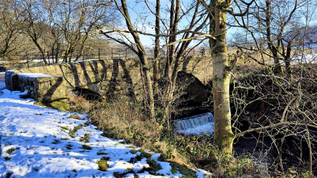
We head down the main road through Abbeystead down to the bridge over the river Wyre. This is Stoops Bridge – and you may notice parking on a track on the right which is worth remembering as a start for other walks in the area – including the reservoir walk.
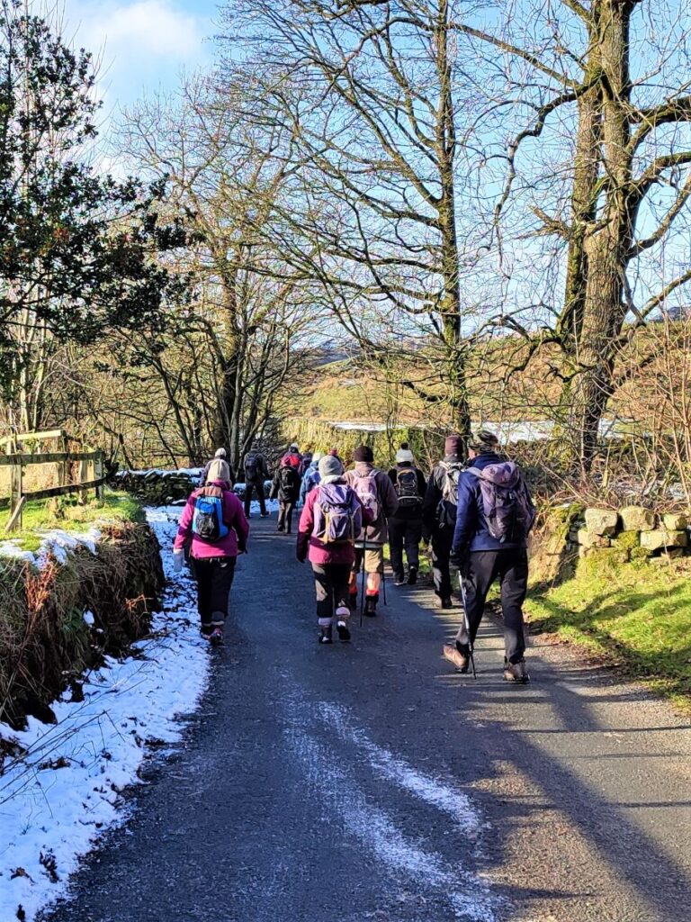
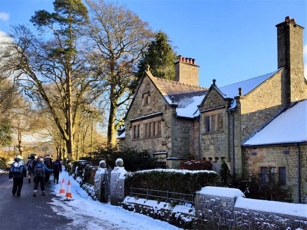
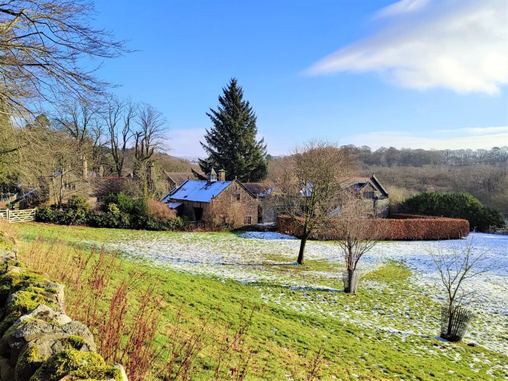
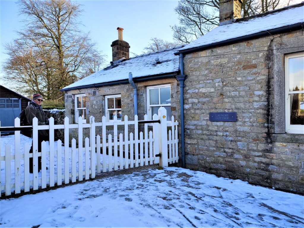
We continue steeply uphill along Strait Lane with woodland on our right until we arrive at the top of the hill where there is a sharp left turn. At the corner is an attractive cottage – this is Laundry Cottage, and our path continues through the white gate and though the garden of the dwelling. The correct route is well marked.
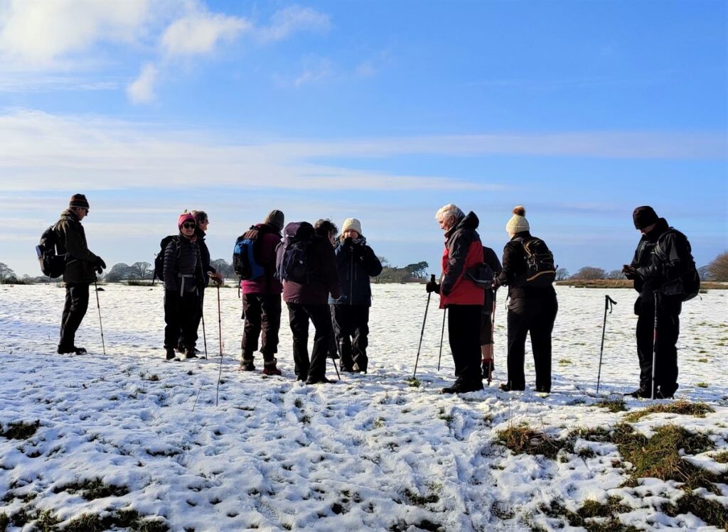
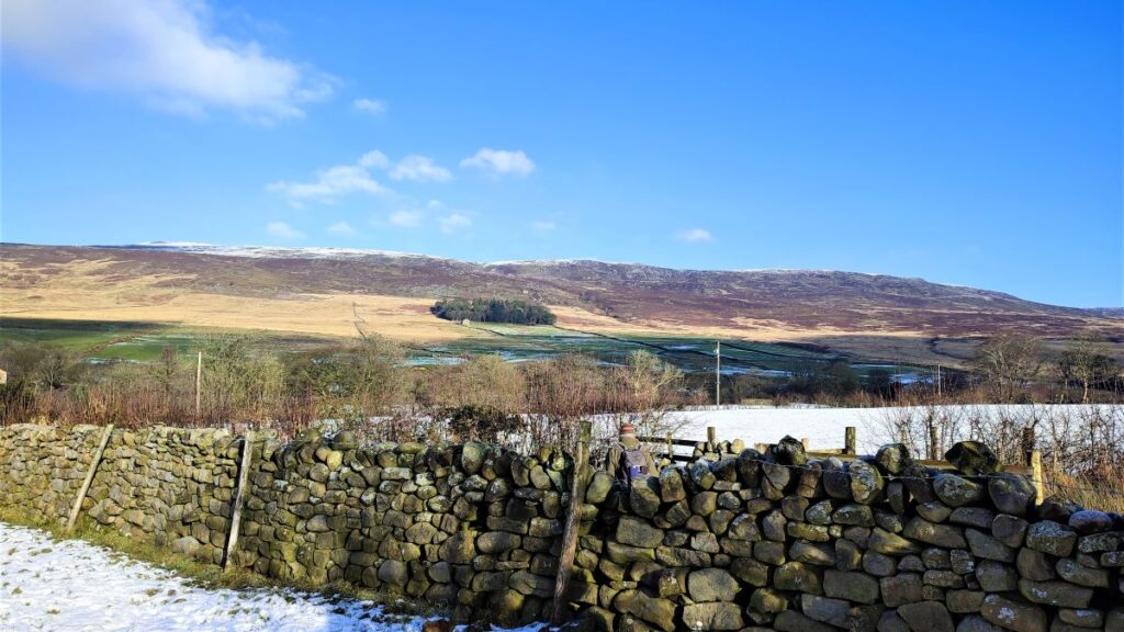
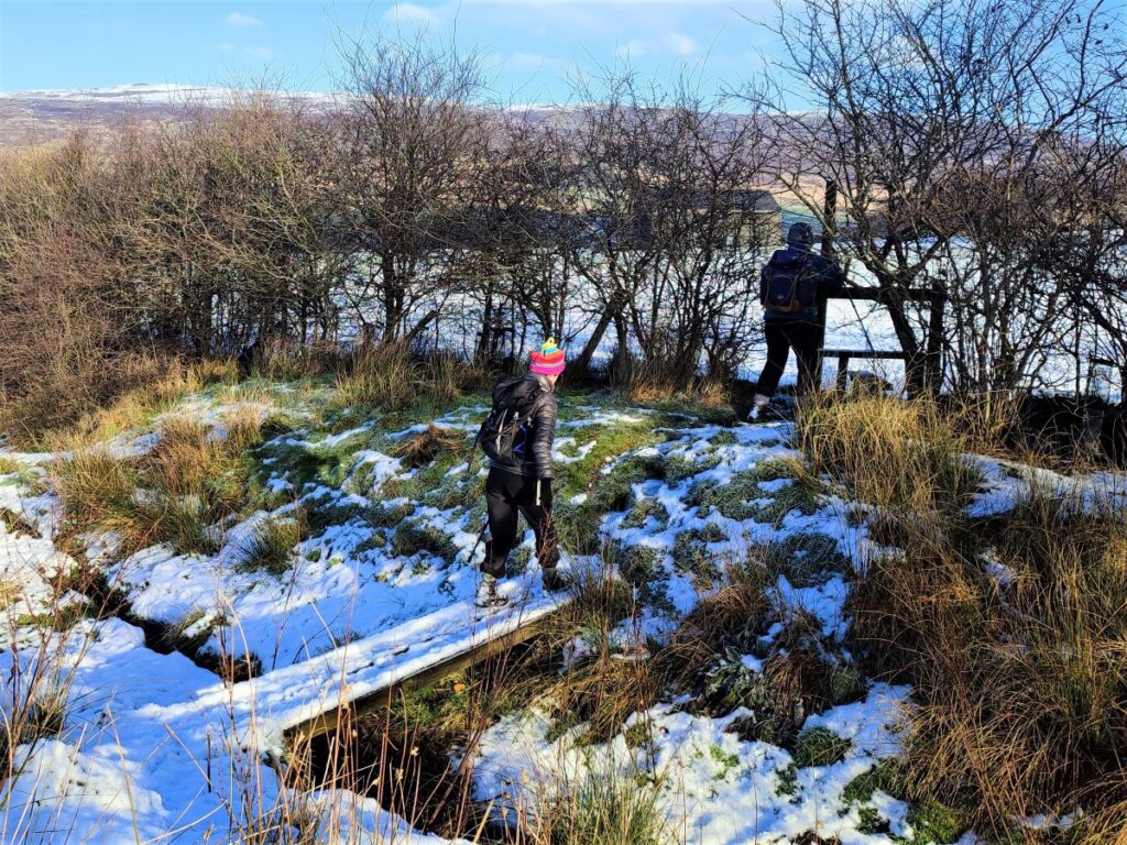
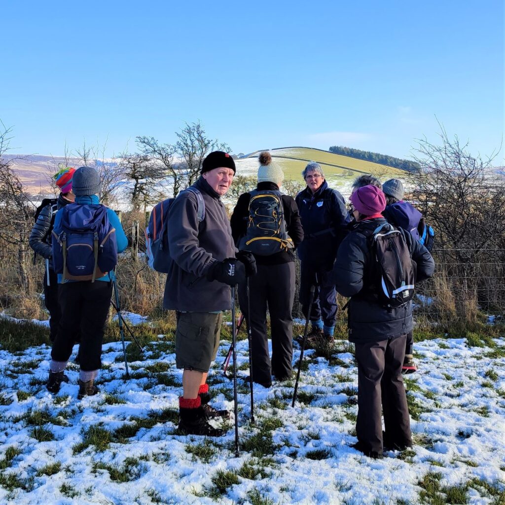
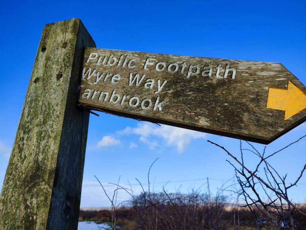
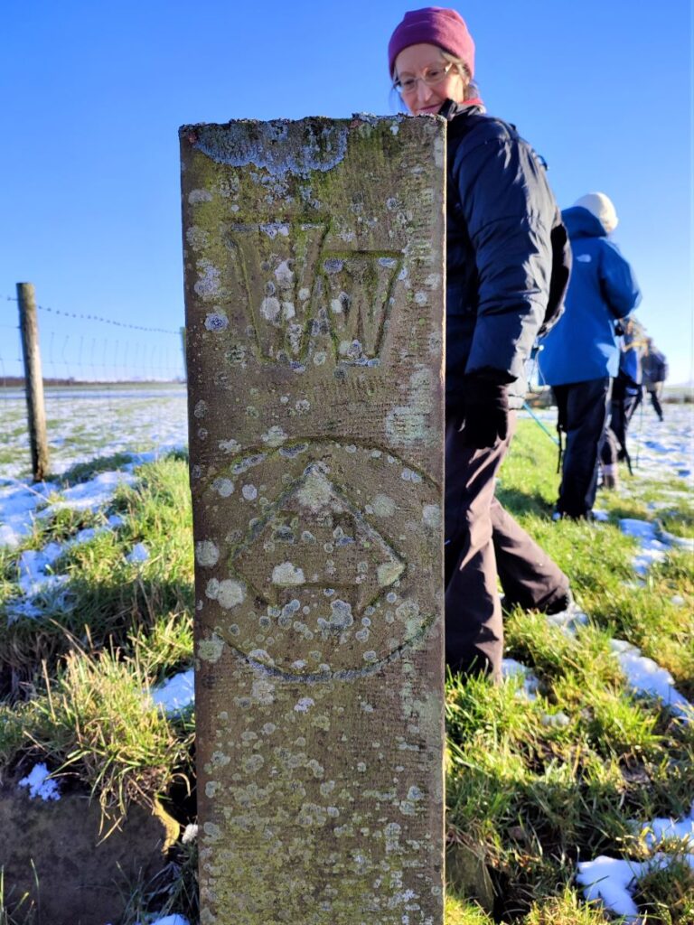
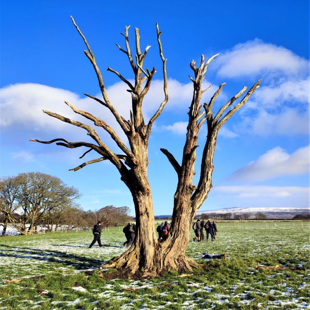
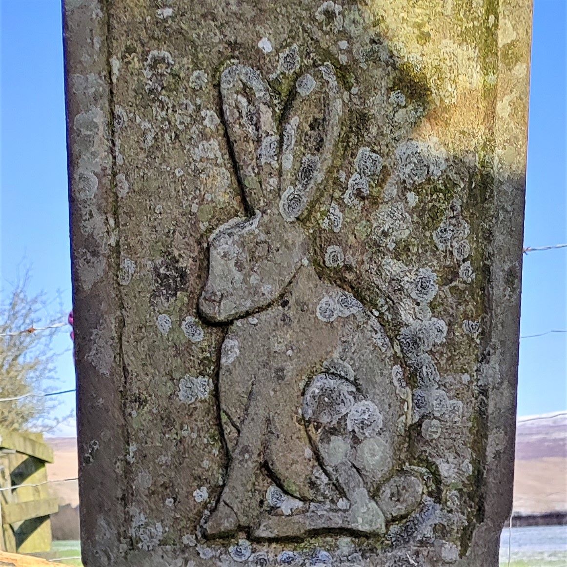
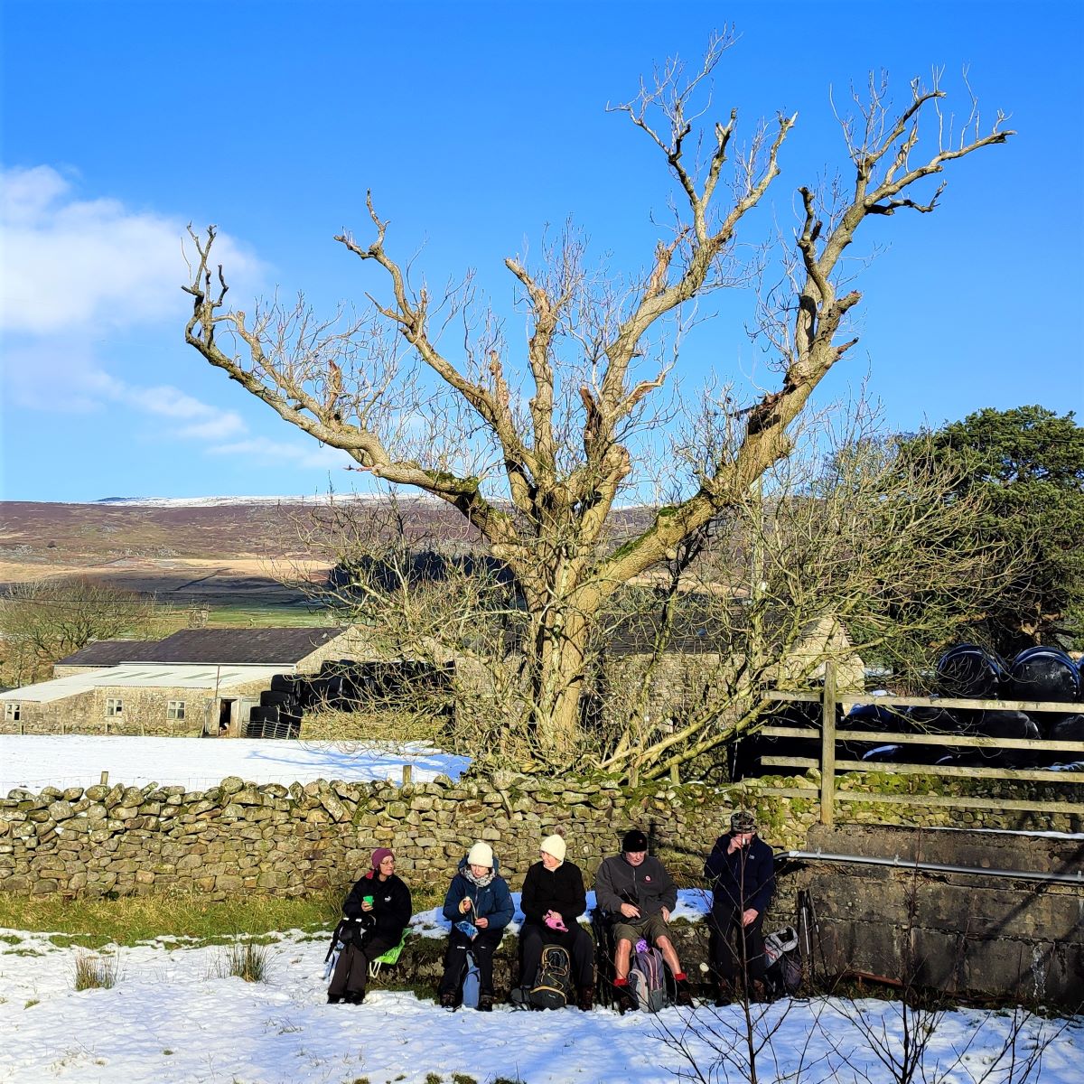
Once clear of the garden, we find ourselves in open fields with the wooded gardens of Abbeystead House on our right. We head straight on as the boundary of the woodland peels off to the right, so that we head east toward the corner of the field where two footpaths cross, a location marked by an attractive Wyre Way marker post. This is a good place to take a break.

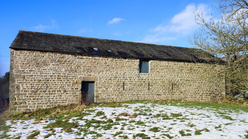
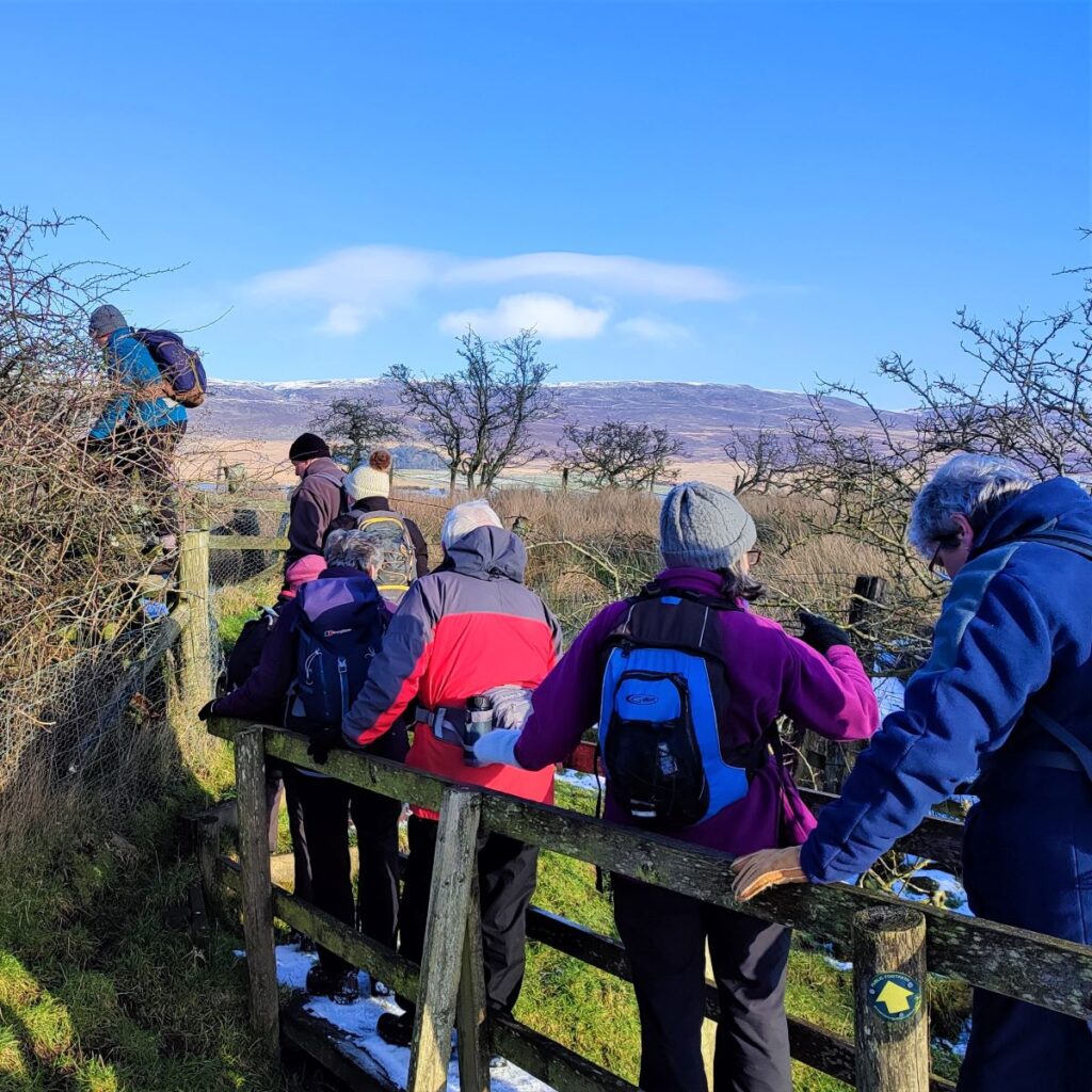
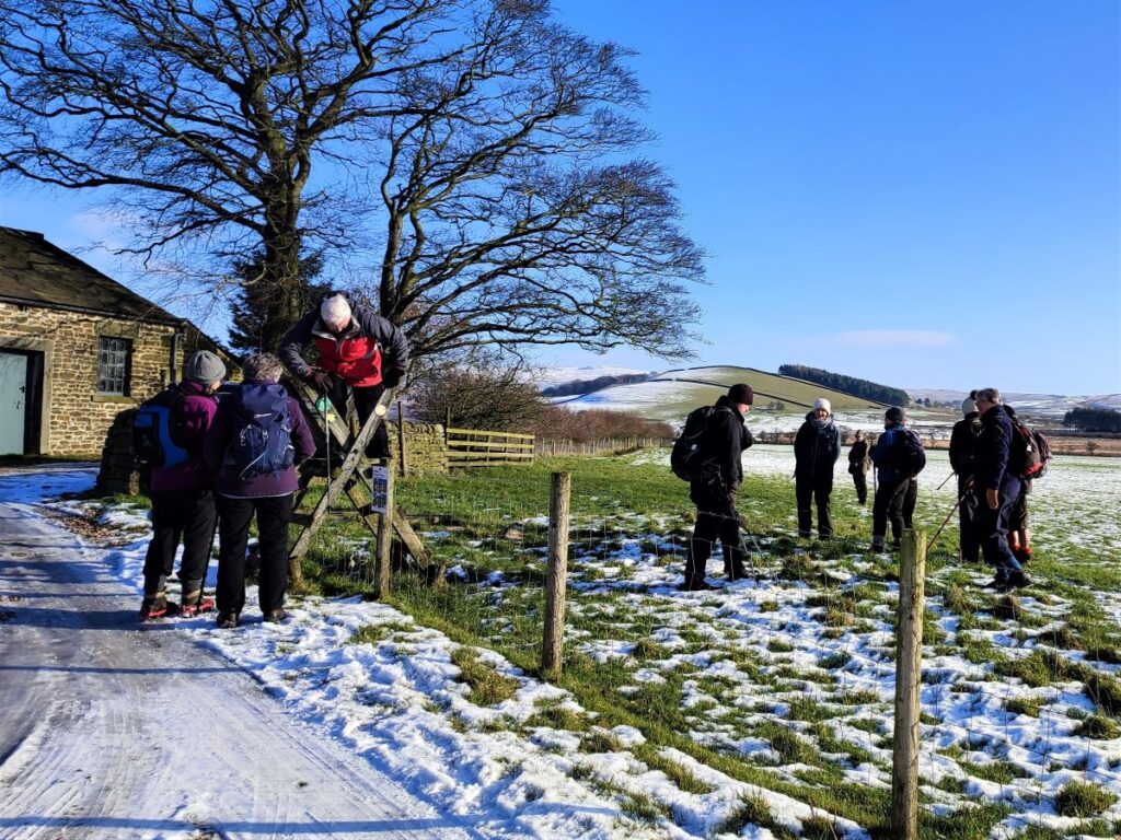
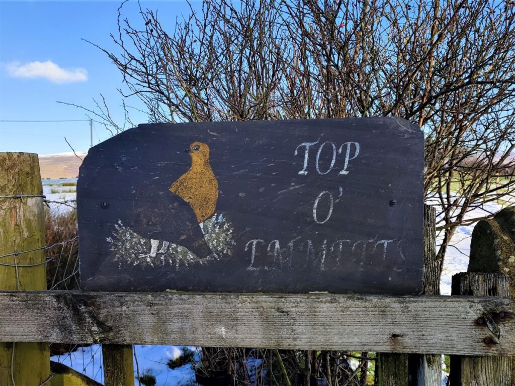
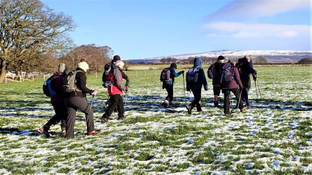
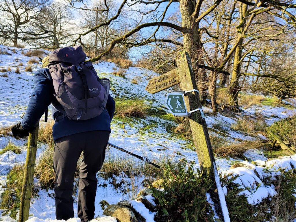
We take care not to be tempted by the paths crossing ours and carry on East toward the prominent farm buildings at Emmetts. We need to keep the large houses at Higher Emmetts to our left and head toward a stile not far from the corner of the field which takes us onto a minor road at Top of Emmetts. We cross the road and head down a farm track where we see a stile on our right which accesses a path which takes us past the farm with the field boundary on our left.
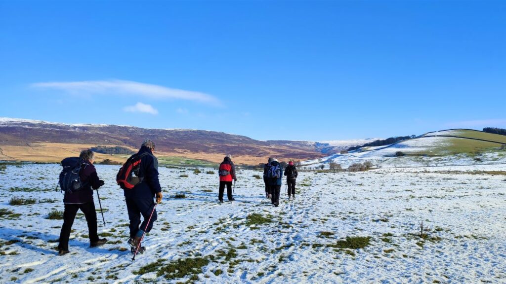
We are on the Wyre Way now, and although not in the league of the Pennine Way, this is an important long distance route, so the path should be clear. If in doubt though, we head Northeast toward the left hand side of the prominent Greenside Hill. This takes us past a woodland area called Emmetts Wood and a farm called Ouzel Thorn, both of which need to be on our left, as we approach a bridge over the Wyre at Tarnbrook.
This is a good place to take lunch.
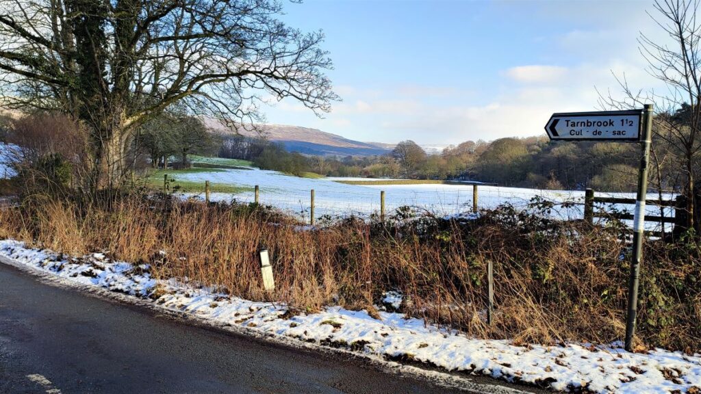
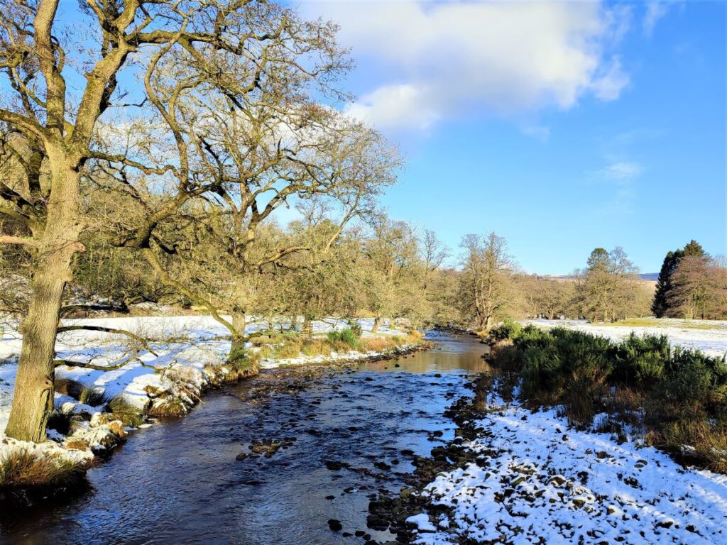
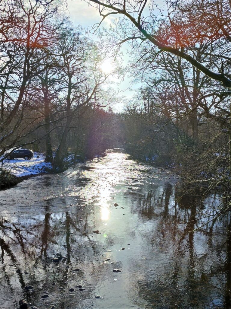
The return leg of the walk starts by crossing the bridge over the Wyre to find the minor road into Tarnbrook – in fact this is one of the relatively small number of classified roads that is a cul de sac – it ends just a short distance to the right, so we head left following the course of the Wyre downhill.
As we go, we notice that almost everything in Tarnbrook is painted the same shade of grey, indicating that the hamlet in effect belongs to the Grosvenor estate. Historically the only employment in Tarnbrook other than farming or estate work was the manufacture of felt hats: Until the 1790s Townley Brothers manufactured felt for the hat making trade, and a small number of felt hats for local markets – after this date, they relocated to Lancaster where the large scale supply of felt hats to colonists and slaves in the Americas created a huge commercial opportunity.

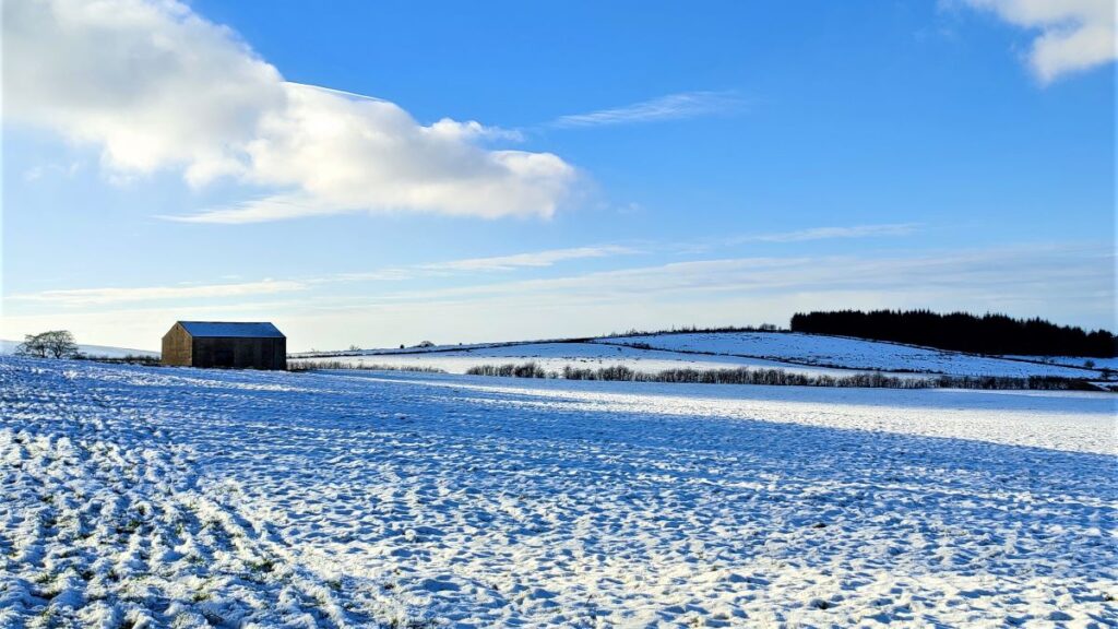
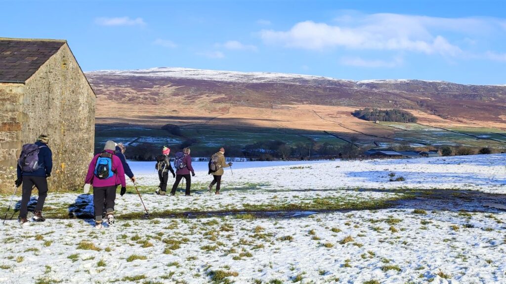
We follow the road downhill, keeping the river in view until we arrive at a junction at Lower Lee. We then take a right turn and head uphill – still on a road at this stage. We look for a stile on the left as the road starts to climb, and this takes us onto a path across the moors back to our starting point.
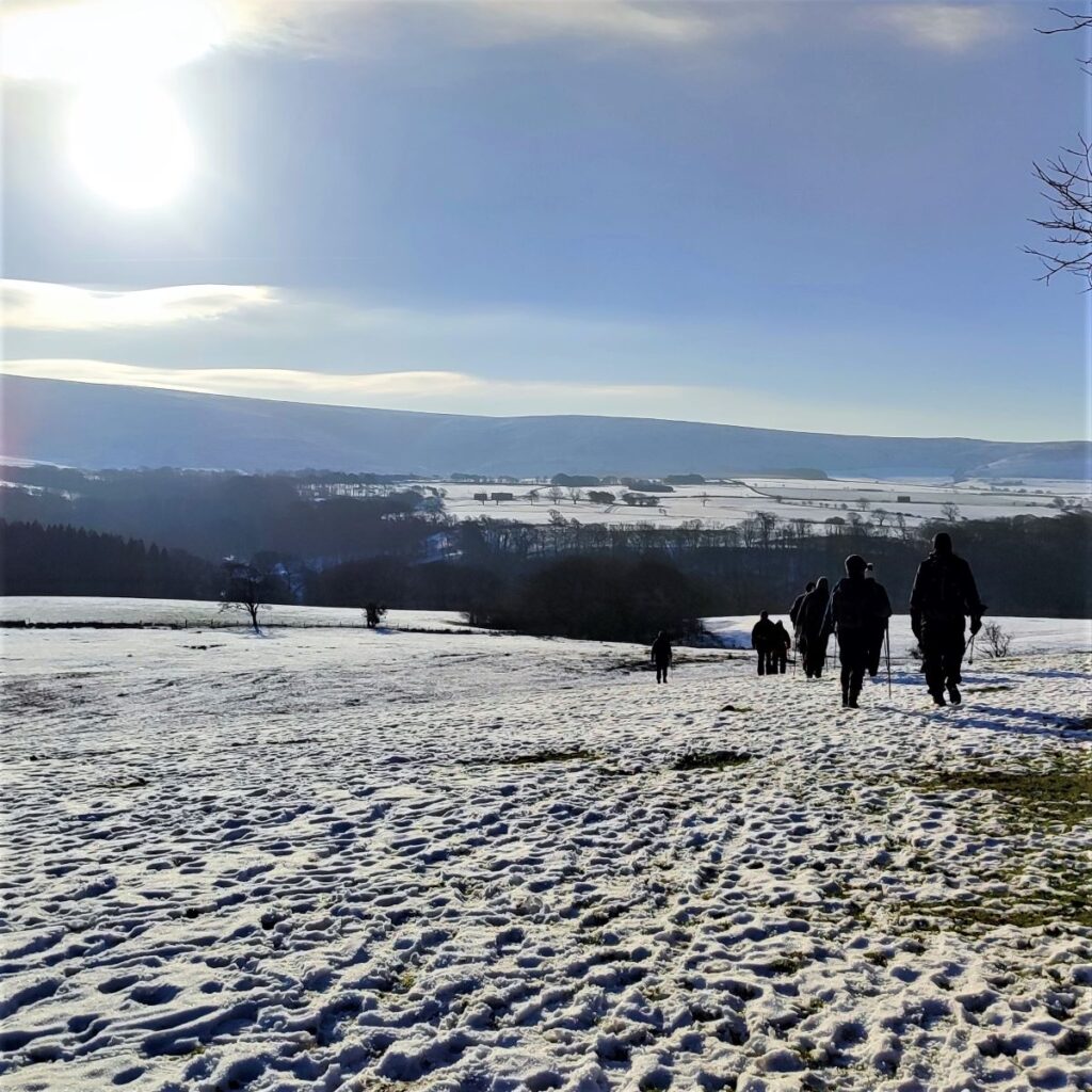
At this stage we are heading West and after a brief (and rather steep) climb at the start of the path, we tend to contour around the hill, enjoying great views back to Tarnbrook Fell.
The path we are on eventually brings us to a minor road – we cross this and continue in the same direction on the other side, until we arrive at a slightly larger road where we head right. We are now back on Abbeystead Lane and have just a short walk back to the church and the parking.
- Total distance 10.1 km (6.3 miles)
- Total ascent 251 m
- Easy walk